13th October 2010 - A Martindale Round
Walk Details
Distance walked: 14.4 miles
Total ascent: 4455 ft
OS map used: OL5 - The English Lakes, North-eastern areas
Time taken: 7.5 hrs
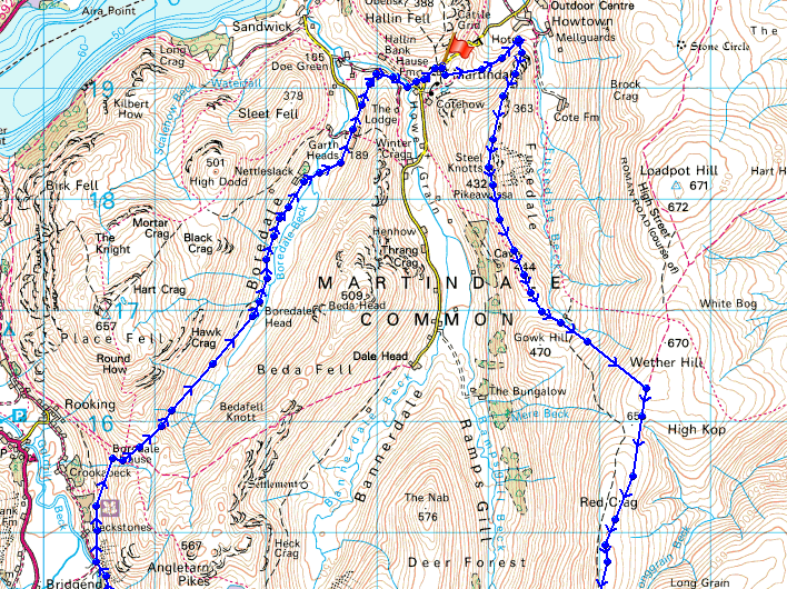
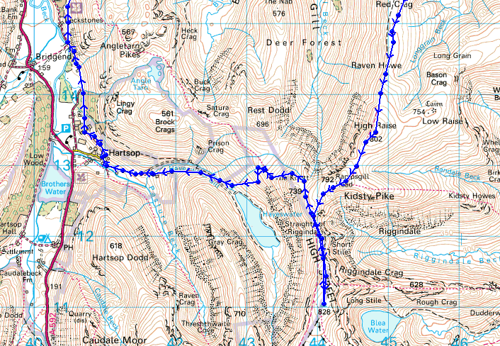
Route description: Martindale New Church-Steel End-Steel Knotts-Wether Hill-High Raise-Rampsgill Head-High Street-Hayeswater-Hartsop-Dubhow-Boredale Hause-Boredale-Martindale New Church
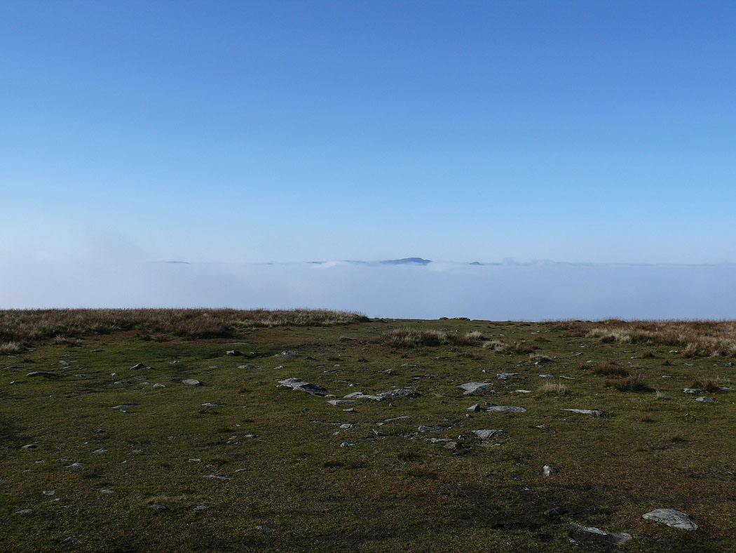
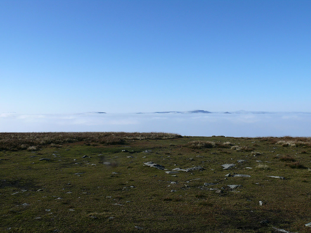
I set off on this walk hoping to get above the clouds and see a temperature inversion and I did but only just. Most of the walk was spent walking in the cloud so I didn't take many photos.
Route map
Pikeawassa, the summit of Steel Knotts
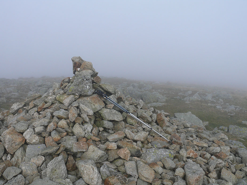
On the summit of High Raise
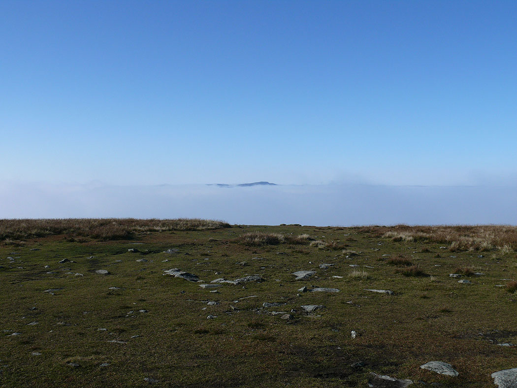
On High Street and at the top of the cloud
Helvellyn peeping above the cloud
Helvellyn and the pointed top of Catstye Cam now visible
The tops of Fairfield, Helvellyn and Catstye Cam
High Street
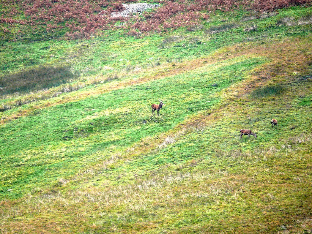
As I was walking down Boredale I could hear red deer stags calling up on the hillside and I managed to spot one and get a picture
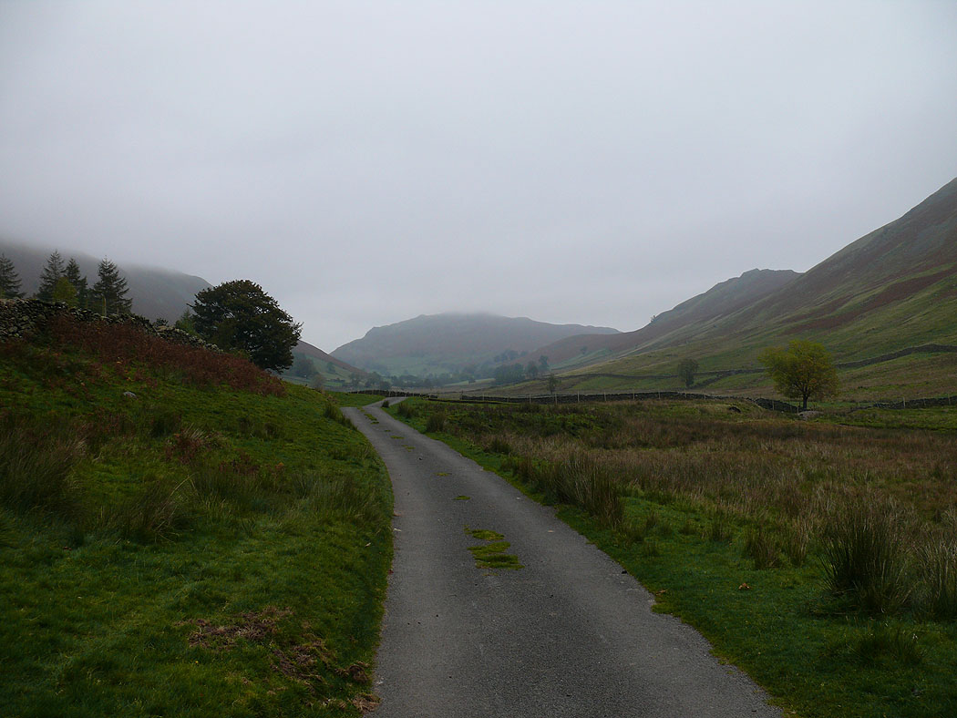
Walking back down Boredale
