13th September 2016 - Boulsworth Hill
Walk Details
Distance walked: 7.6 miles
Total ascent: 1450 ft
OS map used: OL21 - South Pennines
Time taken: 5.5 hrs
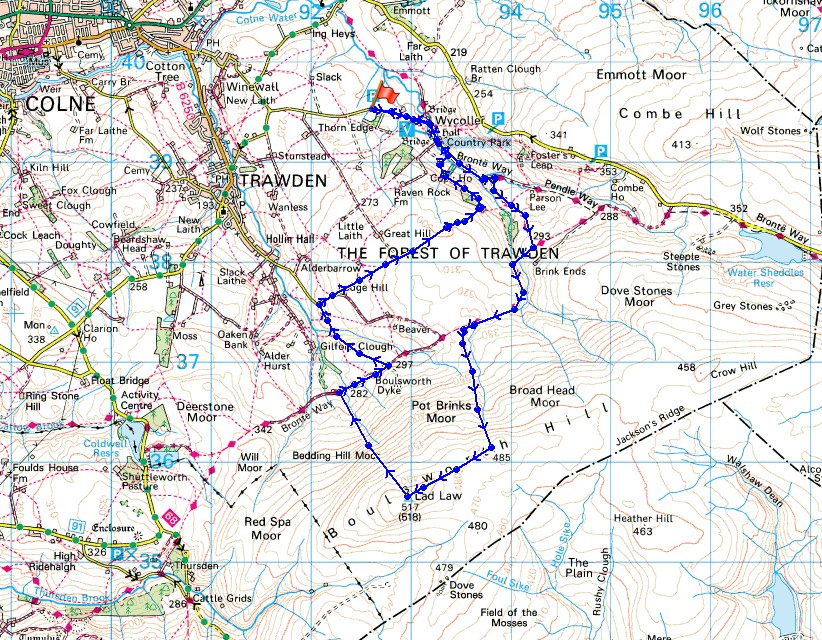
Route description: Wycoller-Pendle Way-Bronte Way-Pendle Way-Great Saucer Stones-Weather Stones-Boulsworth Hill-Abbot Stone-Pendle Way-Lumb Laithe Farm-Lumb Spout-Lodge Moss Farm-Lodge Hill Farm-Copy House Farm-Pendle Way-Wycoller
With some time off work this week I decided that I'd get a few walks done if the weather played ball, probably staying fairly local but I may treat myself and drive up to the Lake District for a day. This morning I made the relatively short drive to Wycoller in east Lancashire for a walk up Boulsworth Hill in the South Pennines. A warm and humid day is forecast with light winds but there is a chance of heavy showers and thunderstorms by the end of the afternoon. I arrived in Wycoller at about 0930 and was on the top of Boulsworth Hill just a couple of hours later. It was still mostly sunny, though hazy, so I spent quite a bit of time up there enjoying the warm sunshine and the views, although flying ants did their best to spoil it. I was willing a bit of a breeze to pick up. The cloud had started to increase by the time I arrived back in Wycoller and there was a big storm at home that evening.
From the car park outside Wycoller I walked down into the village, across the packhorse bridge and along the track that the trail of the Pendle Way takes. I left this trail for the Bronte Way which heads up the driveway of Dean House Farm and then up some fields to rejoin the Pendle Way. I then followed the trail west (it's also the Pennine Bridleway and Bronte Way at this point) below the slopes of Boulsworth Hill. Where a track leaves the trail and heads uphill to some grouse butts I left it and made my way uphill to the gritstone outcrops of Great Saucer Stones, then across to the Weather Stones before finally arriving at the trig point on the summit of Boulsworth Hill. After having a long lunch I made my way down by the concessionary path past the Abbot Stone to the track carrying the Pendle Way below. I followed this east until I reached Lumb Laithe Farm where I took a footpath on the left down some fields and across a brook to Lodge Moss Farm. I made a short diversion to see the waterfall of Lumb Spout along the way. There was then a short walk up a road to Lodge Hill Farm before taking the footpath on the left that heads east across many fields before heading down into Wycoller Dean to Copy House Farm. A path from here heads downhill to a footbridge over Wycoller Beck where I picked up the Pendle Way again back to Wycoller.
Route map
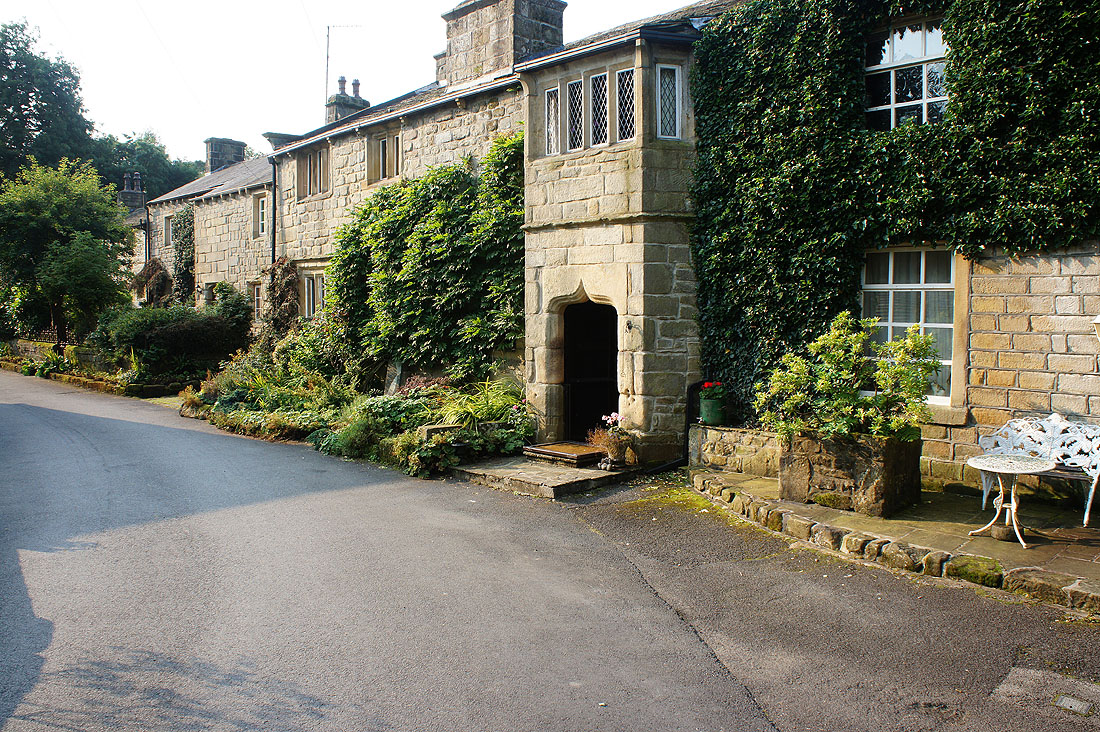
It's a lovely morning as I make my way through Wycoller
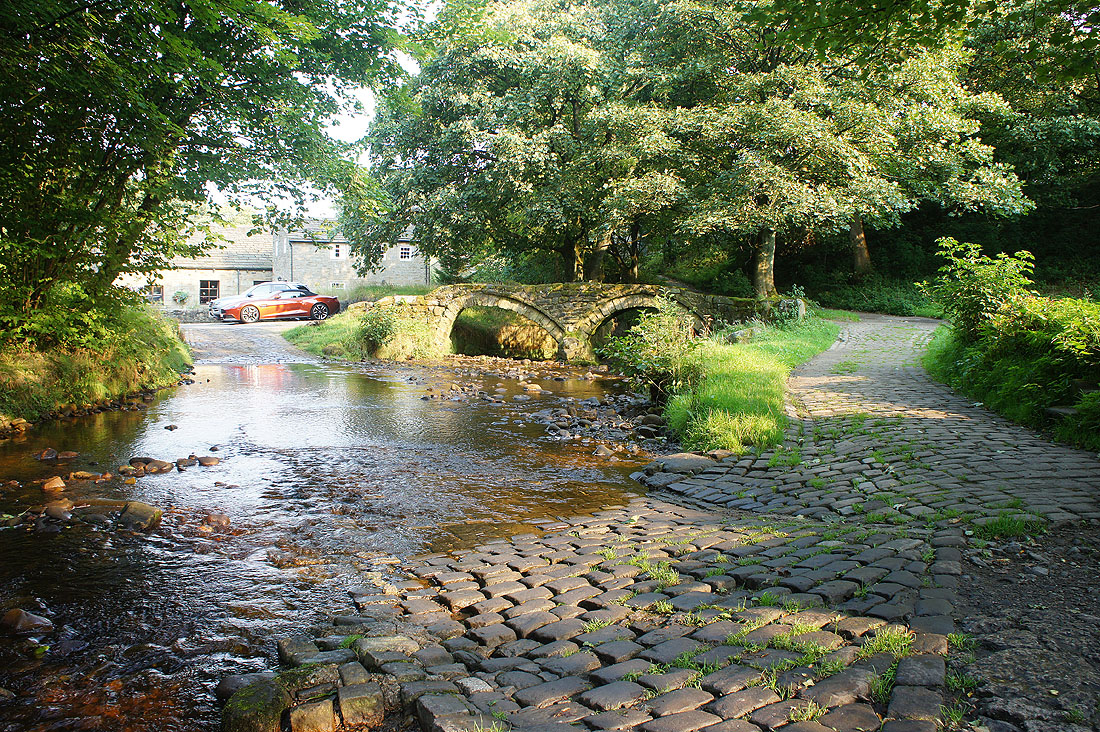
across the packhorse bridge
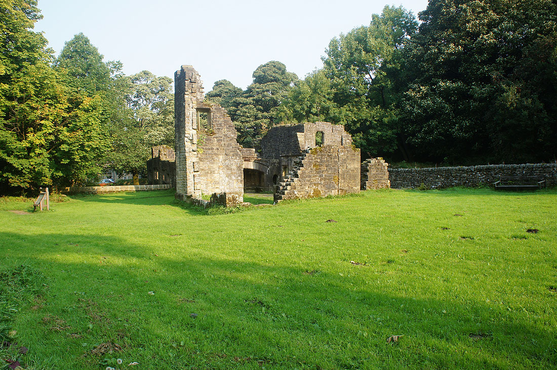
and past the ruins of Wycoller Hall
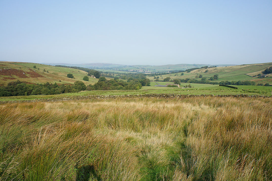
Looking down Wycoller Dean
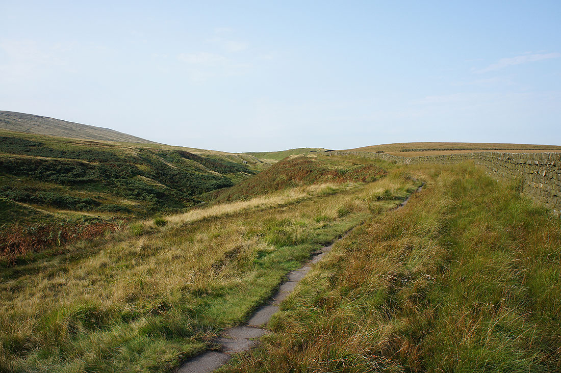
On the trail of the Pendle Way beneath Boulsworth Hill
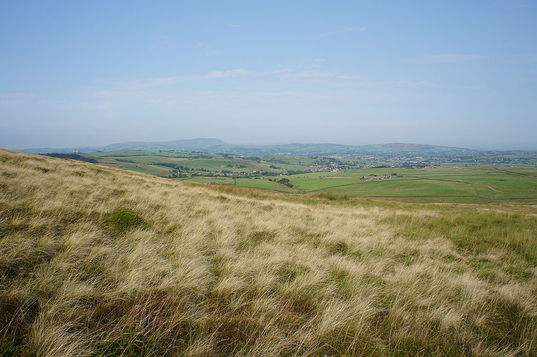
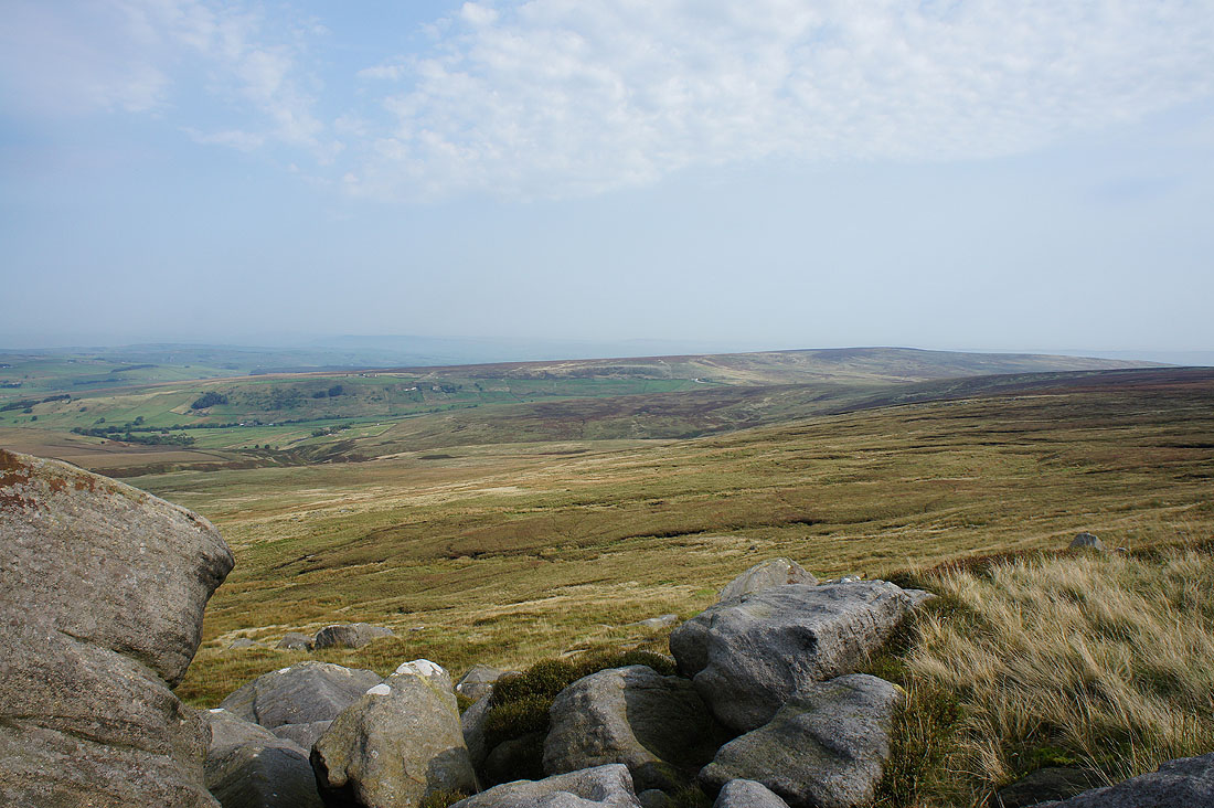
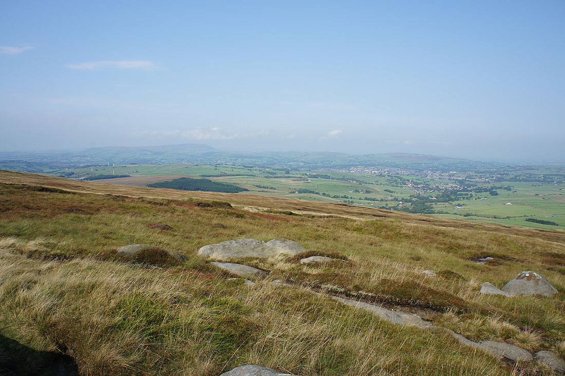
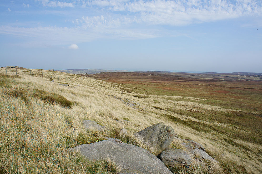
Pendle Hill, Twiston Moor and Weets Hill in the distance as I head uphill to Great Saucer Stones
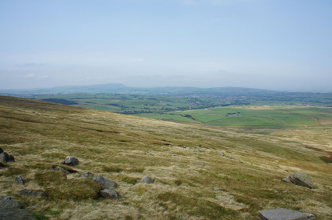
and again from Great Saucer Stones
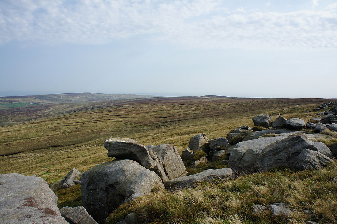
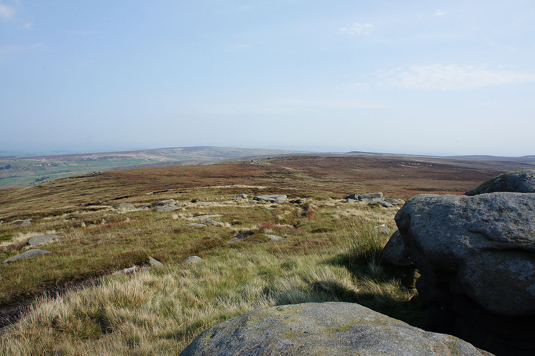
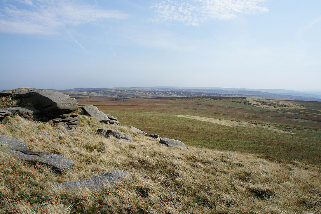
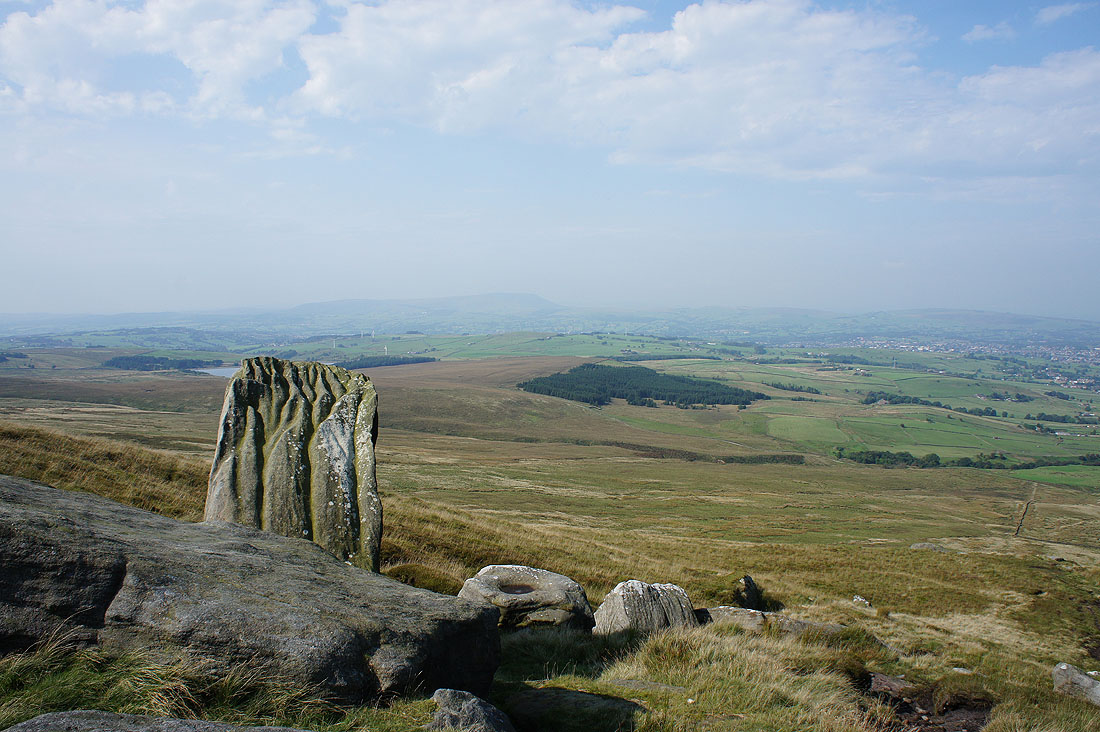
Up close with the gritstone as I look across to the hill of Wolf Stones
To its left I can sort of make out the hazy outline of Barden Moor and Simon's Seat in the Yorkshire Dales
Wolf Stones and Crow Hill
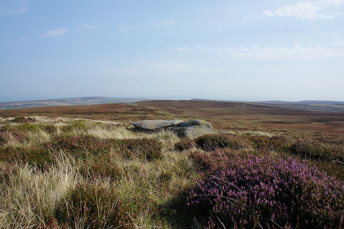
A last patch of flowering heather makes a nice foreground as I reach the Weather Stones
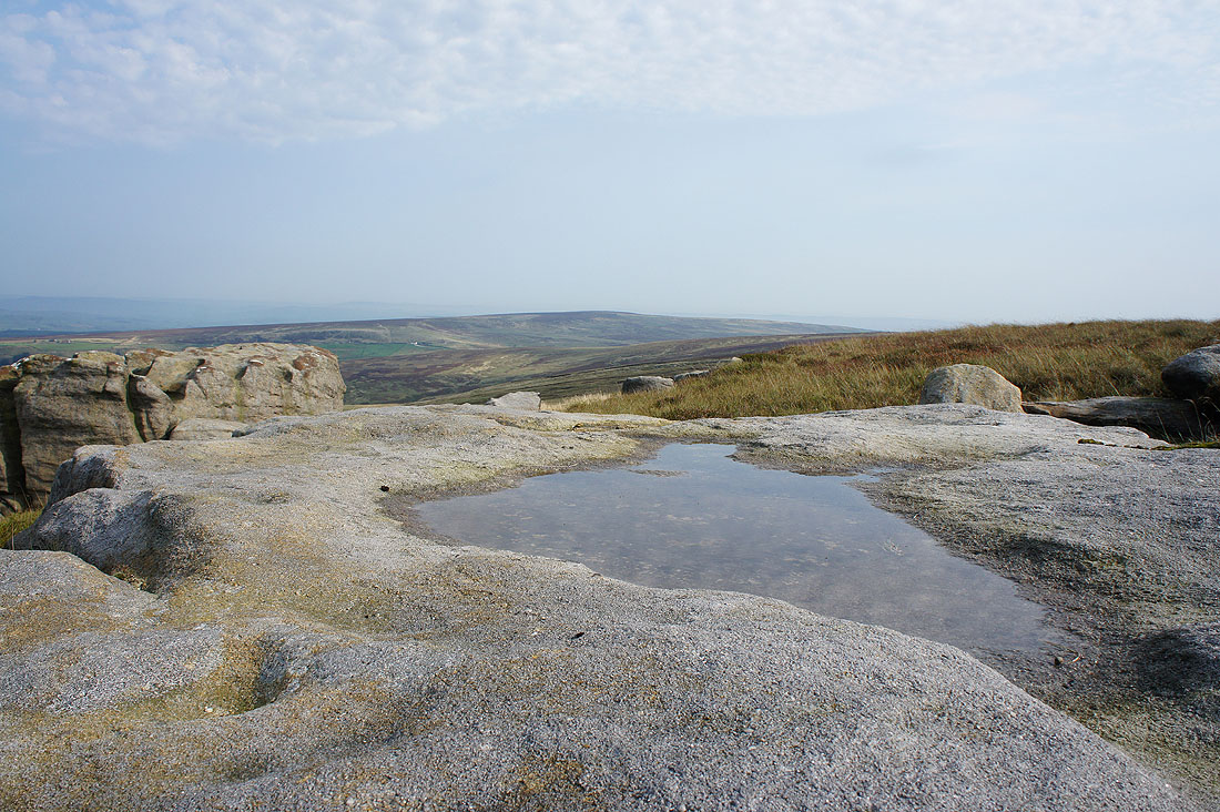
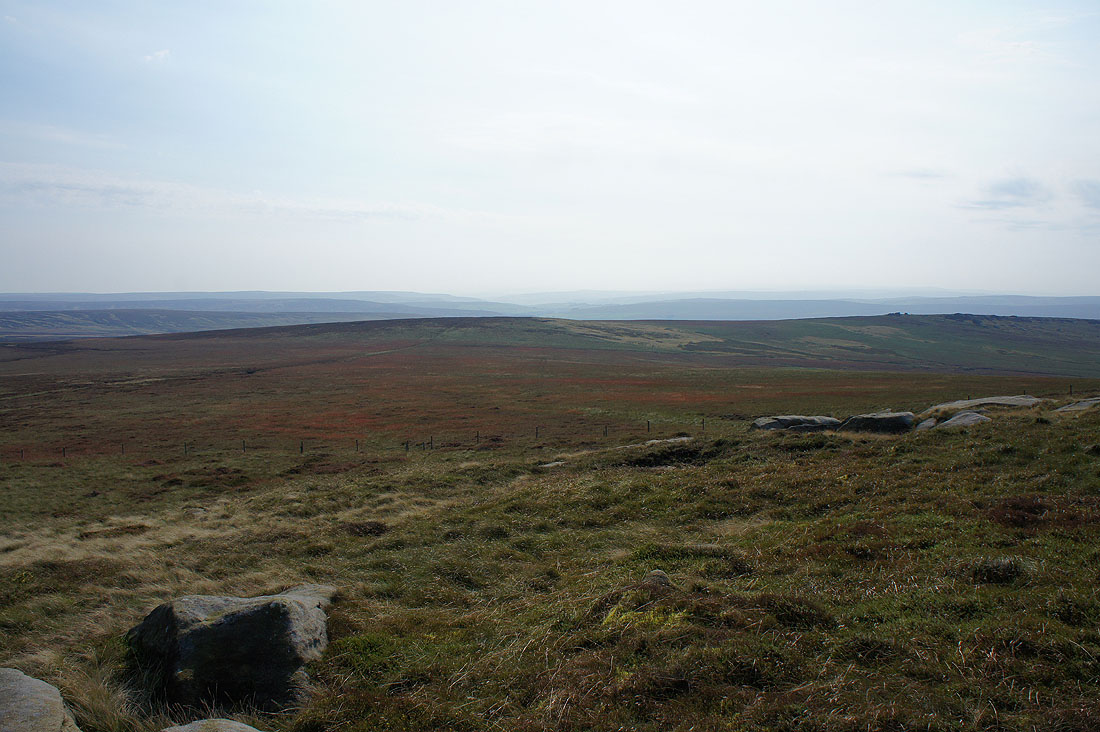
A very hazy view south towards Calderdale
Pendle Hill in the distance
Wolf Stones and Crow Hill in the distance as I look back across the hillside to Great Saucer Stones
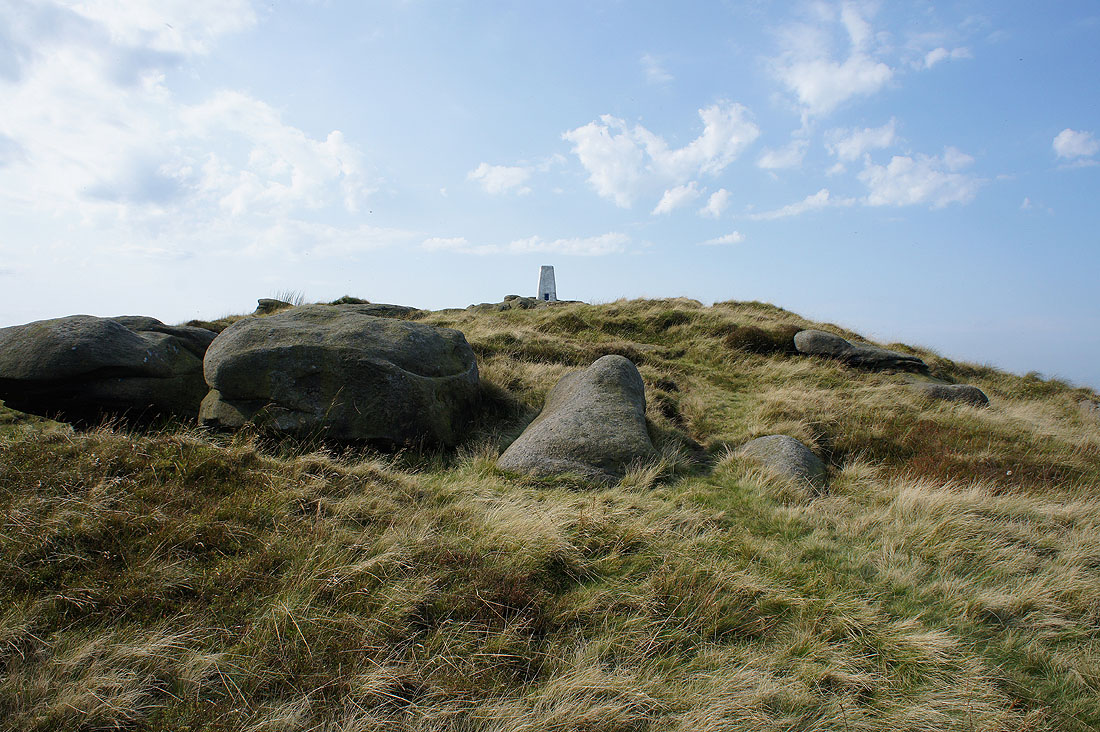
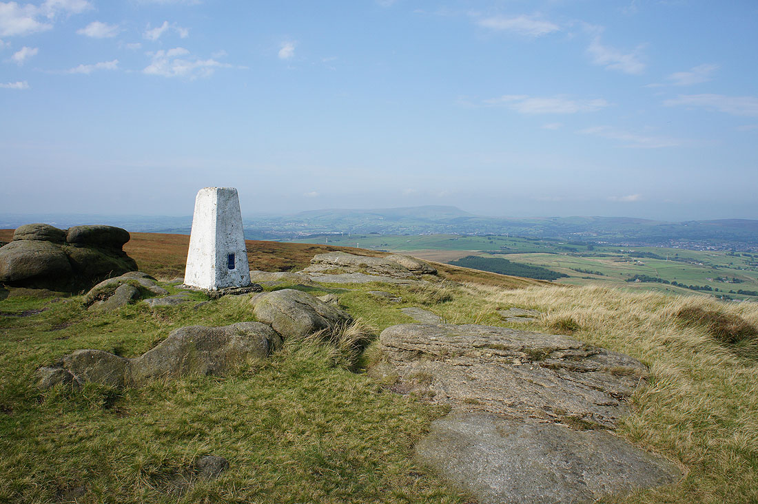
It's just a short walk from Weather Stones to reach the trig point on the summit of Boulsworth Hill
Pendle Hill from Boulsworth Hill
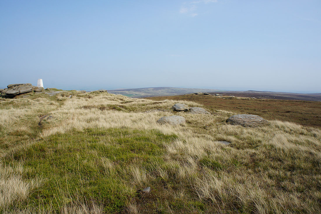
A distant Wolf Stones with the trig point on the summit rocks of Lad Law
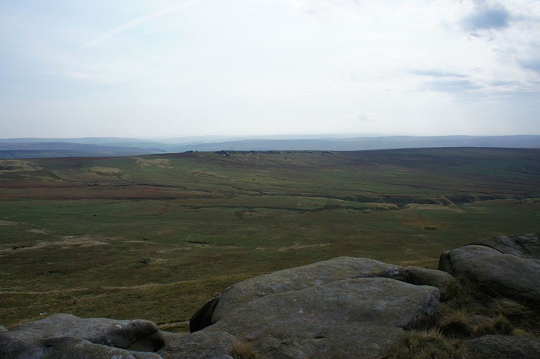
The gritstone outcrops of Dove Stones on the other side of Hey Slacks Clough. The moors in the distance are those around Calderdale and I could sort of make out the Stoodley Pike monument.
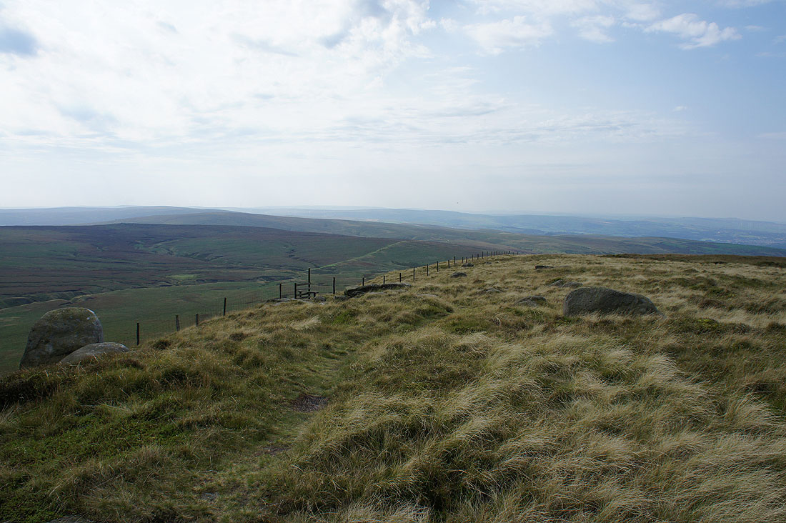
Hazy moors looking south to Hoof Stones Height and Thieveley Pike
I spent the best part of an hour here sat in the warm sunshine having my lunch, with the weather showing no signs of deteriorating just yet I was in no rush. The moors look great as they take on their autumn colours.
Stanbury Moor and Ovenden Moor above Bronte Country to the east
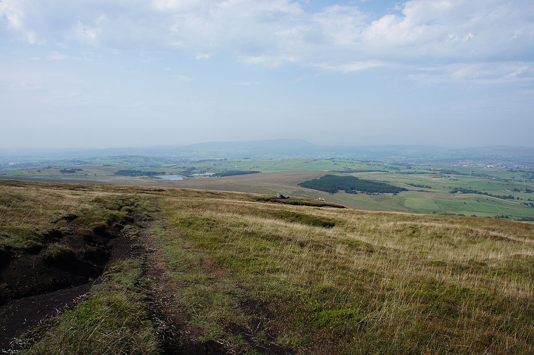
The Coldwell Reservoirs and Pendle Hill ahead as I finally head back down
The countryside of the Forest of Trawden from the Abbot Stone
and Pendle Hill
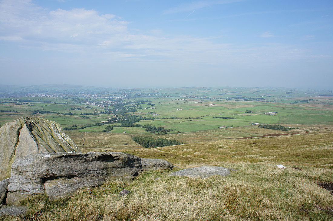
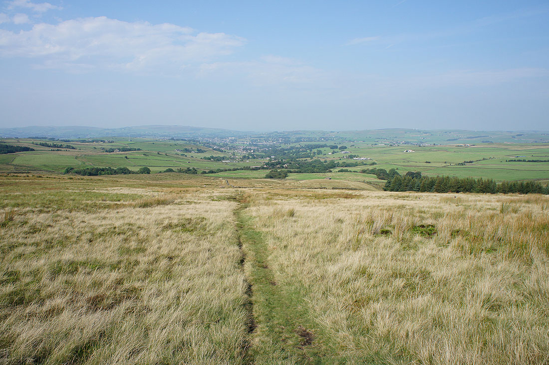
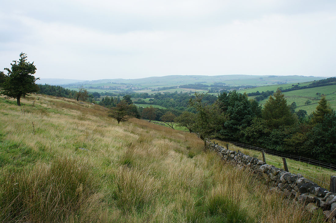
The village of Trawden ahead as I make the final descent back to the Pendle Way
The Pendle Way was left at Lumb Laithe Farm for a field path towards Trawden
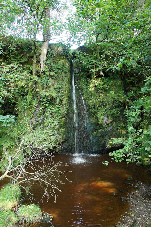
The little waterfall of Lumb Spout. Just off my route and worth the detour.
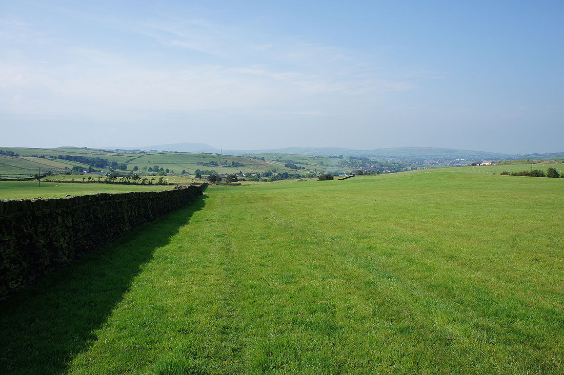
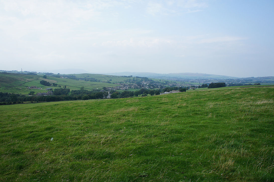
A very hazy Pendle Hill and Trawden as I take the hillside path to Wycoller
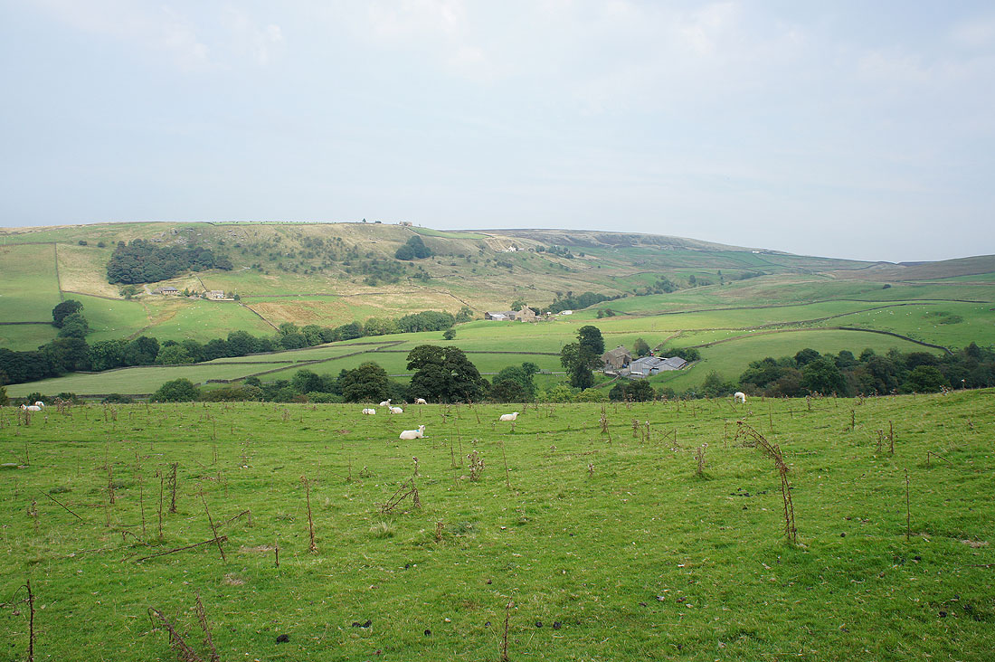
Wycoller Dean and Combe Hill..
..as I head down to Wycoller
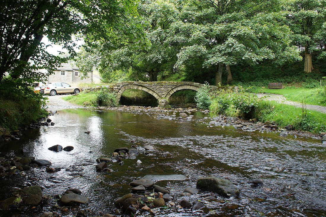
A short time later and I'm back at the packhorse bridge
