13th September 2022 - High Seat and Mallerstang Edge
Walk Details
Distance walked: 11.3 miles
Total ascent: 2070 ft
OS map used: OL19 - Howgill Fells & Upper Eden Valley
Time taken: 6.5 hrs
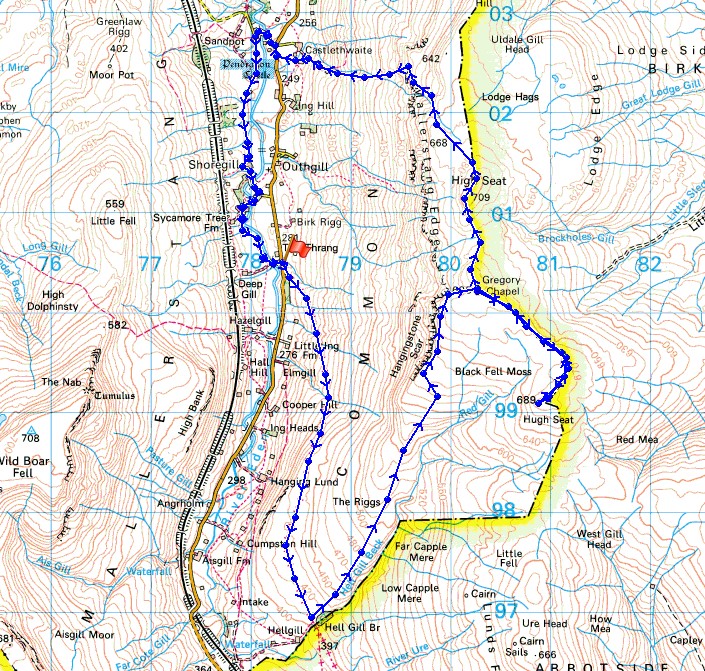
Route description: The Thrang, B6259-Lady Anne's Way-Hell Gill Bridge-The Riggs-Hangingstone Scar-High Loven Scar-Gregory Chapel-Hugh Seat-Gregory Chapel-High Seat-Lindrigg Scars-Castlethwaite-B6259-Castle Bridge-Shoregill-Thrang Bridge-The Thrang, B6259
I had thought about doing a walk up Wild Boar Fell today until I realised that it was almost seven years since my last and only walk across the moorland on the other side of Mallerstang. With a forecast of blue skies, lots of warm early autumn sunshine, light winds, and great visibility for taking in the views I had the perfect day for it, just like I did seven years ago. This northern edge of the Yorkshire Dales is pretty quiet and I didn't expect to meet anyone, especially on a Tuesday, but I passed a group of walkers going in the opposite direction while I was on Lady Anne's Way, and there was a fell runner on my first visit to Gregory Chapel. It was definitely worth changing my mind and I mustn't leave it another seven years before I walk up there again.
From the layby at The Thrang on the B6259 I set off by taking the byway of Lady Anne's Way. This route is named after Lady Anne Clifford who owned vast estates in Westmorland during the 17th century. She travelled regularly between her castles, many of which are now in ruins and this route takes them in. Starting at Skipton Castle it heads north through Wharfedale, across to Wensleydale and Hawes, north through Mallerstang and then down the Eden Valley to Penrith. I've included a link to the official website for the route. When I reached Hell Gill Bridge I left Lady Anne's Way to head up the rough terrain of The Riggs by Hell Gill Beck. As Hell Gill Beck became Red Gill I left it behind to make my way to Hangingstone Scar. There were great views from this as I followed it up to High Loven Scar and the summit of Gregory Chapel. After having lunch here I decided to do a there and back to the next top along the high ground to the south, Hugh Seat. Once back on Gregory Chapel I made my way north to the high point of the walk, High Seat. I then had to decide on a route of descent. Looking at the map the ground to the north of Lindrigg Scars and down by Gale Sike looked safe enough. It was steep but I made it down safely to reach the bridleway to Castlethwaite and the road by Pendragon Castle. After having a look at the ruins of the castle I followed the road down to and over Castle Bridge. I then took the footpath on the left that heads up Mallerstang past Shoregill to arrive at Thrang Bridge. After crossing the bridge I had a short walk uphill to where I was parked.
Total ascent: 2070 ft
OS map used: OL19 - Howgill Fells & Upper Eden Valley
Time taken: 6.5 hrs
Route description: The Thrang, B6259-Lady Anne's Way-Hell Gill Bridge-The Riggs-Hangingstone Scar-High Loven Scar-Gregory Chapel-Hugh Seat-Gregory Chapel-High Seat-Lindrigg Scars-Castlethwaite-B6259-Castle Bridge-Shoregill-Thrang Bridge-The Thrang, B6259
I had thought about doing a walk up Wild Boar Fell today until I realised that it was almost seven years since my last and only walk across the moorland on the other side of Mallerstang. With a forecast of blue skies, lots of warm early autumn sunshine, light winds, and great visibility for taking in the views I had the perfect day for it, just like I did seven years ago. This northern edge of the Yorkshire Dales is pretty quiet and I didn't expect to meet anyone, especially on a Tuesday, but I passed a group of walkers going in the opposite direction while I was on Lady Anne's Way, and there was a fell runner on my first visit to Gregory Chapel. It was definitely worth changing my mind and I mustn't leave it another seven years before I walk up there again.
From the layby at The Thrang on the B6259 I set off by taking the byway of Lady Anne's Way. This route is named after Lady Anne Clifford who owned vast estates in Westmorland during the 17th century. She travelled regularly between her castles, many of which are now in ruins and this route takes them in. Starting at Skipton Castle it heads north through Wharfedale, across to Wensleydale and Hawes, north through Mallerstang and then down the Eden Valley to Penrith. I've included a link to the official website for the route. When I reached Hell Gill Bridge I left Lady Anne's Way to head up the rough terrain of The Riggs by Hell Gill Beck. As Hell Gill Beck became Red Gill I left it behind to make my way to Hangingstone Scar. There were great views from this as I followed it up to High Loven Scar and the summit of Gregory Chapel. After having lunch here I decided to do a there and back to the next top along the high ground to the south, Hugh Seat. Once back on Gregory Chapel I made my way north to the high point of the walk, High Seat. I then had to decide on a route of descent. Looking at the map the ground to the north of Lindrigg Scars and down by Gale Sike looked safe enough. It was steep but I made it down safely to reach the bridleway to Castlethwaite and the road by Pendragon Castle. After having a look at the ruins of the castle I followed the road down to and over Castle Bridge. I then took the footpath on the left that heads up Mallerstang past Shoregill to arrive at Thrang Bridge. After crossing the bridge I had a short walk uphill to where I was parked.
Route map
© Crown copyright. All rights reserved. License number PU 100034184.
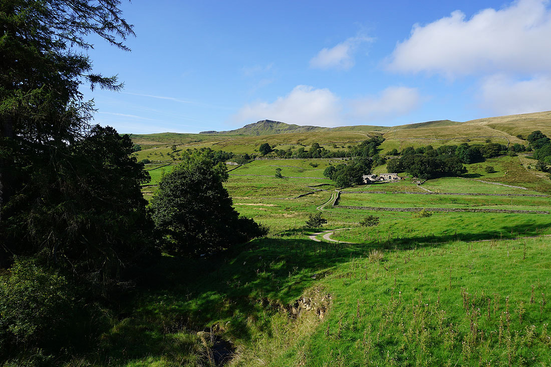
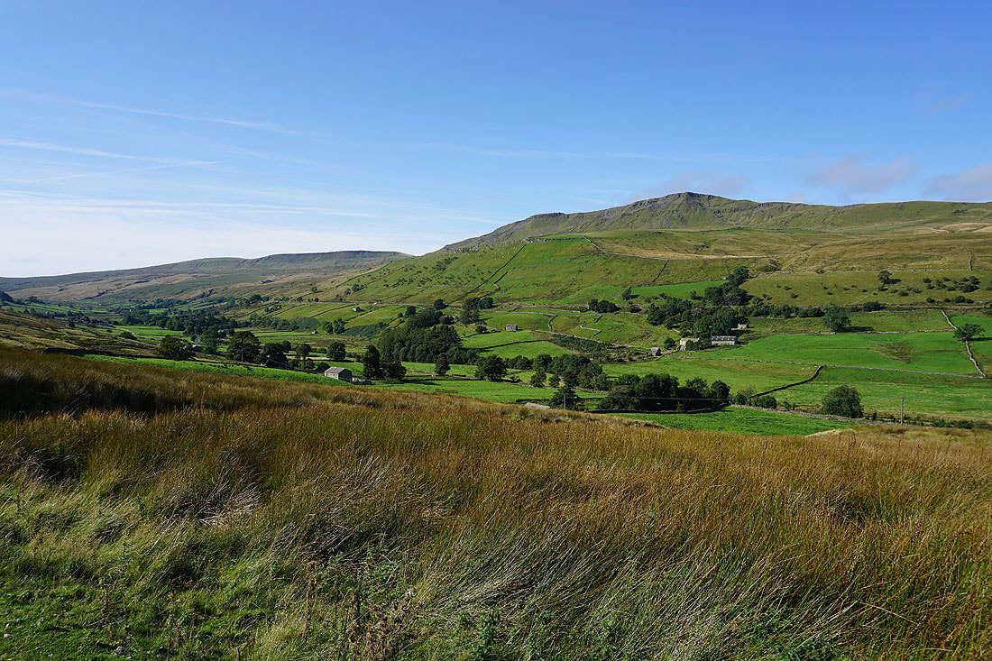
Wild Boar Fell towers above Mallerstang from where I'm parked at The Thrang
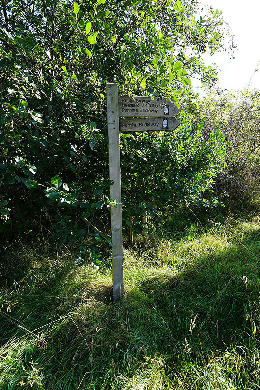
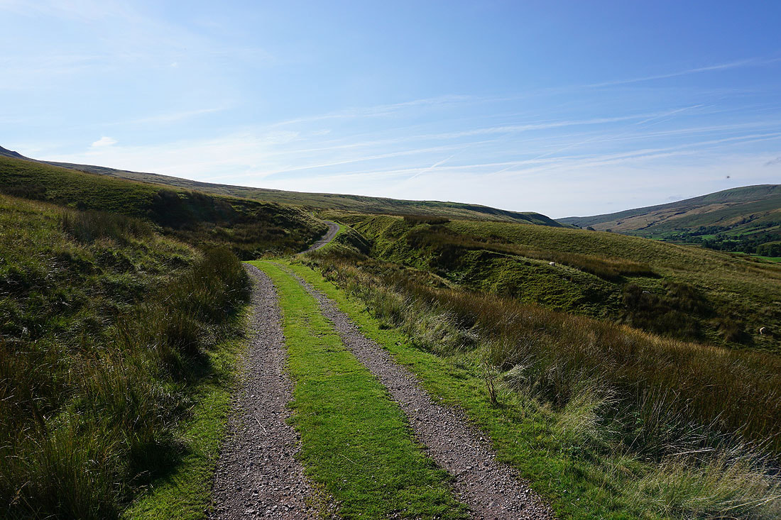
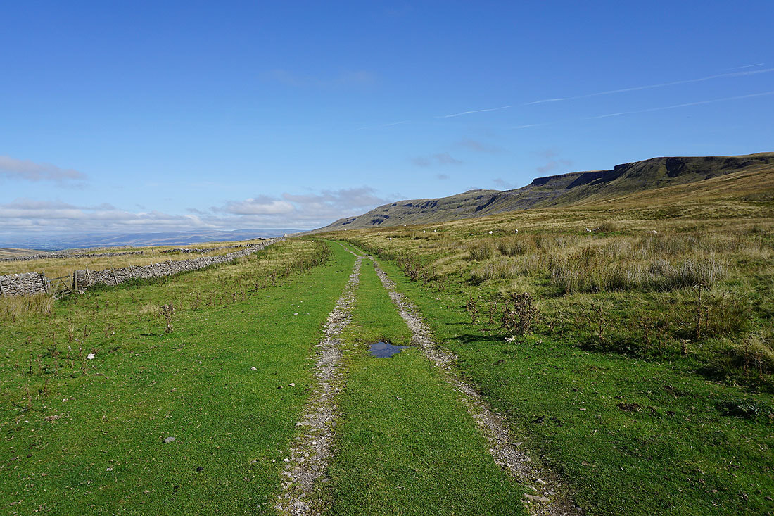
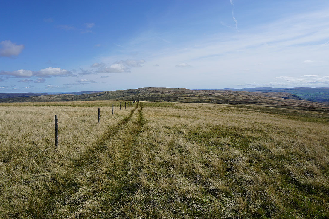
I start by taking the track of Lady Anne's Way, which is part of the Pennine Bridleway. It's a long standing route that has been used for centuries.
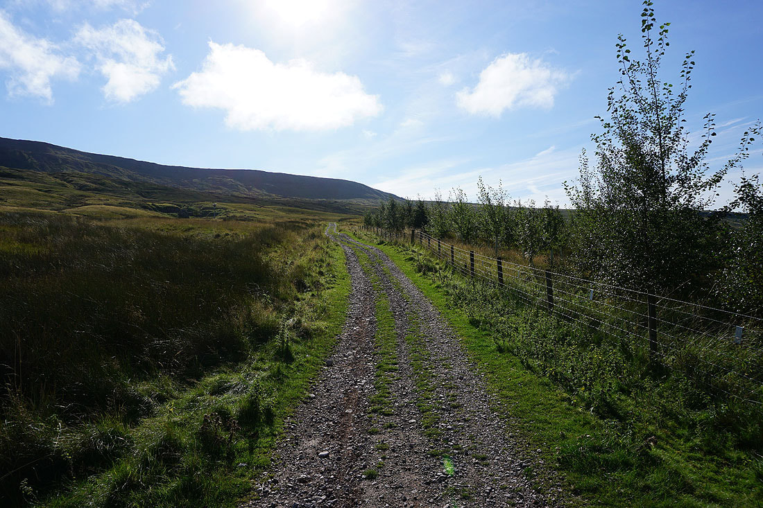
Heading up the Pennine Bridleway
Swarth Fell and Wild Boar Fell on the other side of the valley as I head uphill..
Looking back on Mallerstang
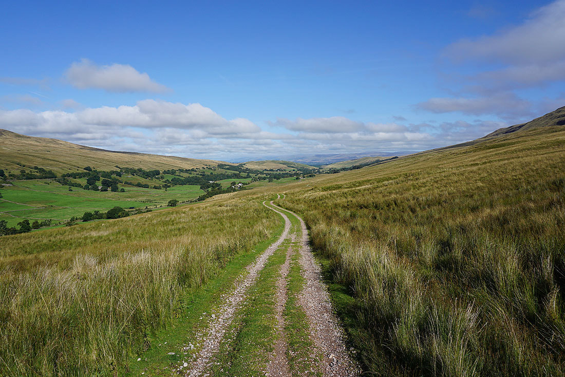
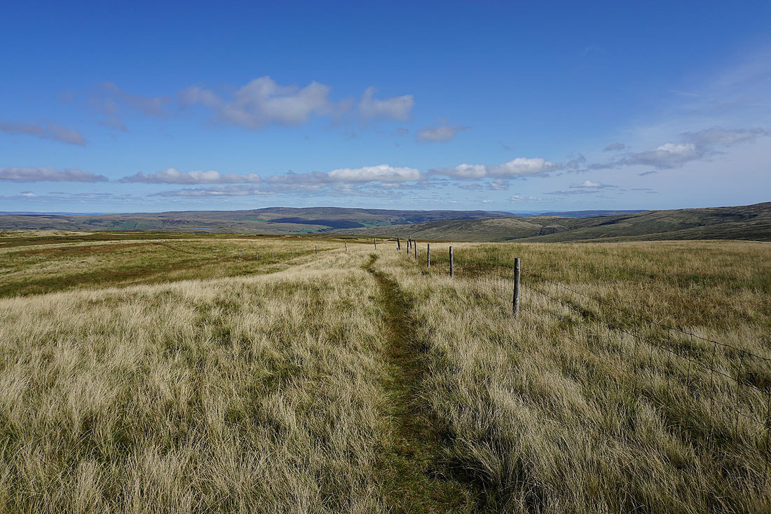
Lady Anne's Way now follows a level course through bits of limestone pavement to Hell Gill Bridge
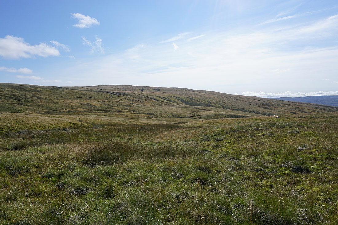
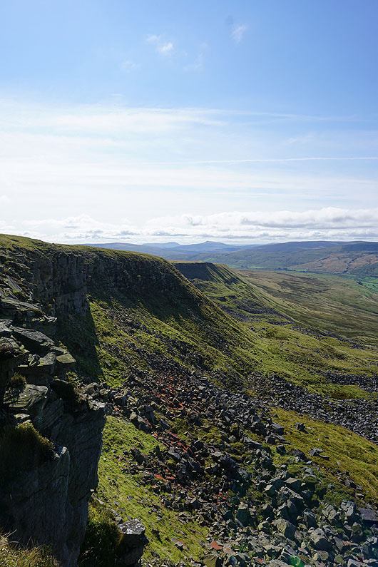
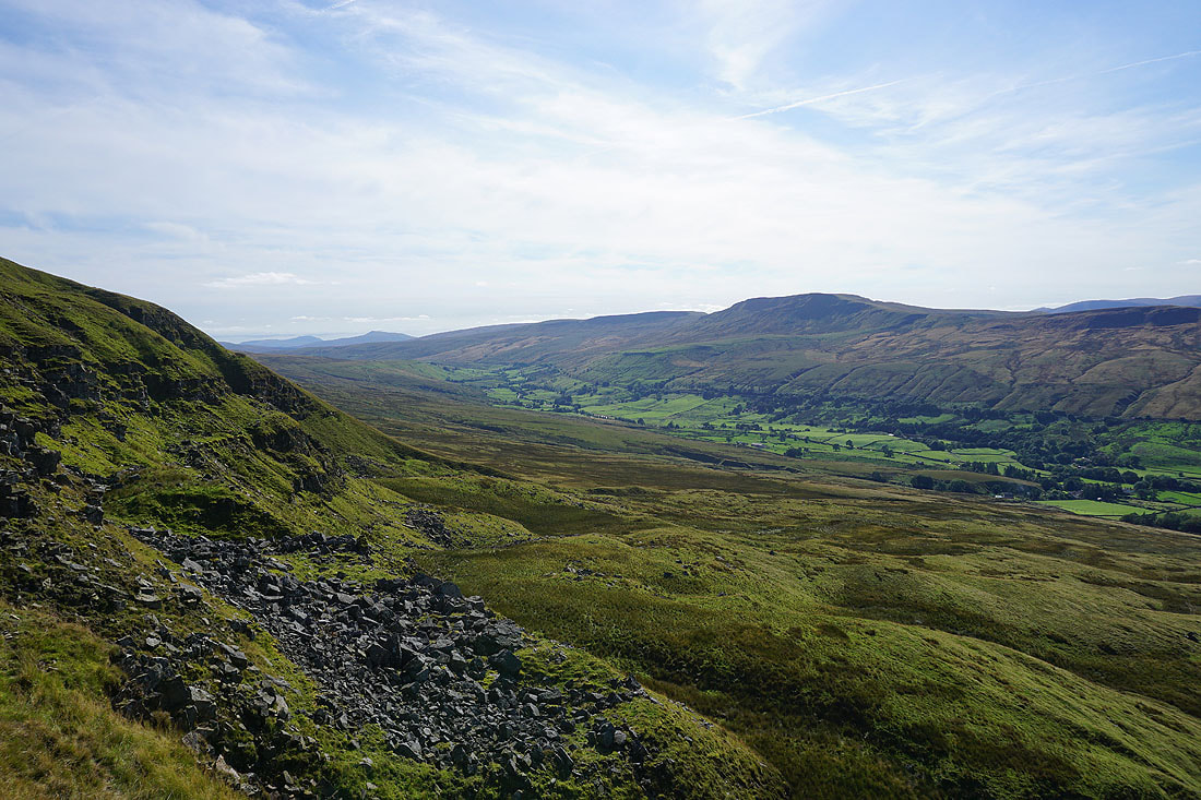
Mallerstang Edge and Hangingstone Scar to the right
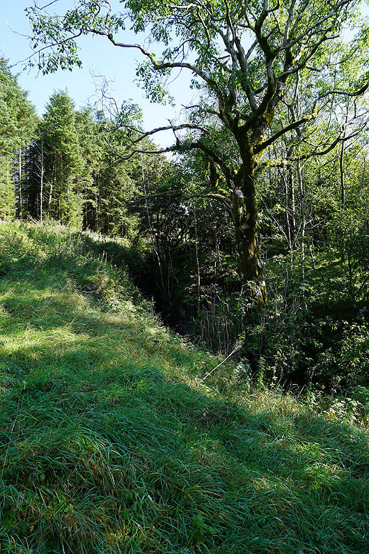
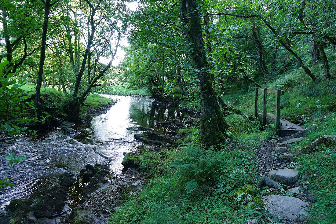
Woodland around Hell Gill. The beck can be seen from Hell Gill Bridge.
Swarth Fell and Wild Boar Fell from Hell Gill Bridge
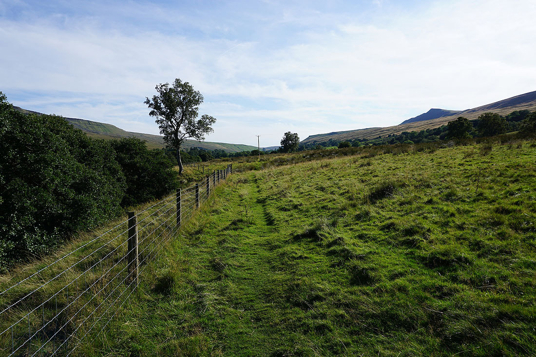
At Hell Gill Bridge I left the easy walking of Lady Anne's Way for something much rougher. It's all tussocky grass and boggy patches as I head up the ridge of The Riggs.
Looking across to Lunds Fell, which has the source of the River Ure on its slopes
and to Wild Boar Fell on the other side of Mallerstang
Hugh Seat at the top of Red Gill, which has the source of the River Eden
Looking back down The Riggs to Ingleborough and Whernside in the distance
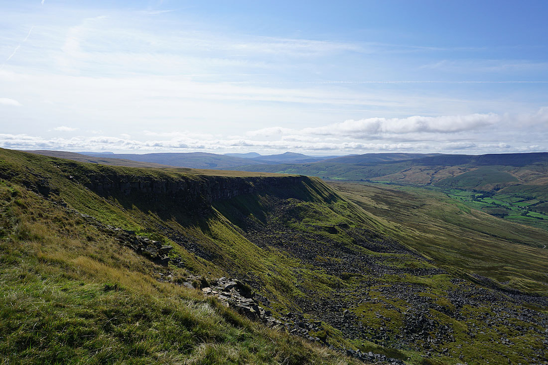
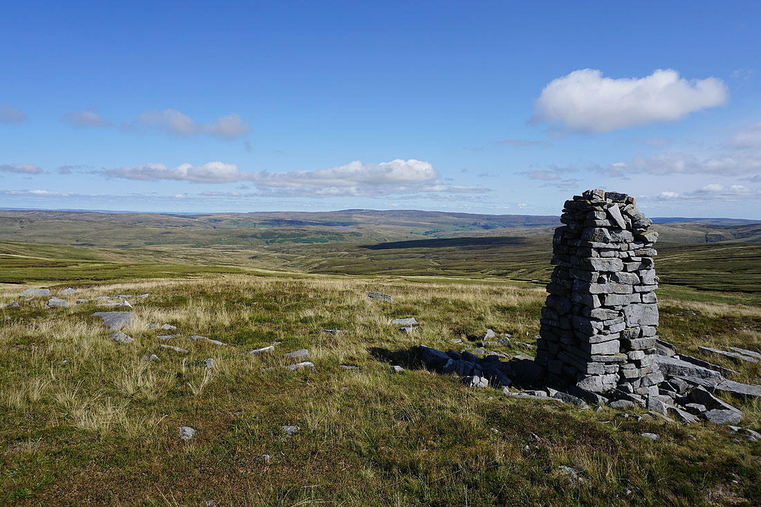
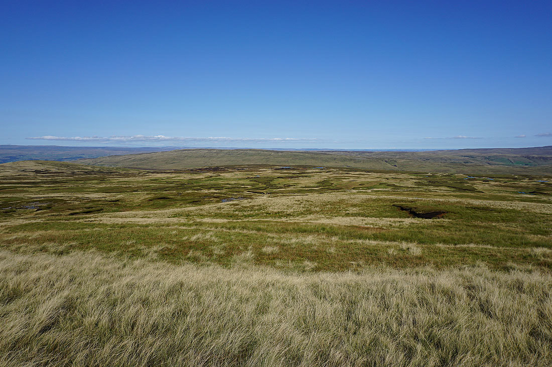
My arrival on Hangingstone Scar is greeted with a fantastic view..
Looking north along Mallerstang Edge to the North Pennines in the distance
and to Swarth Fell and Wild Boar Fell on the other side of Mallerstang
Ingleborough and Whernside in the distance above Hangingstone Scar
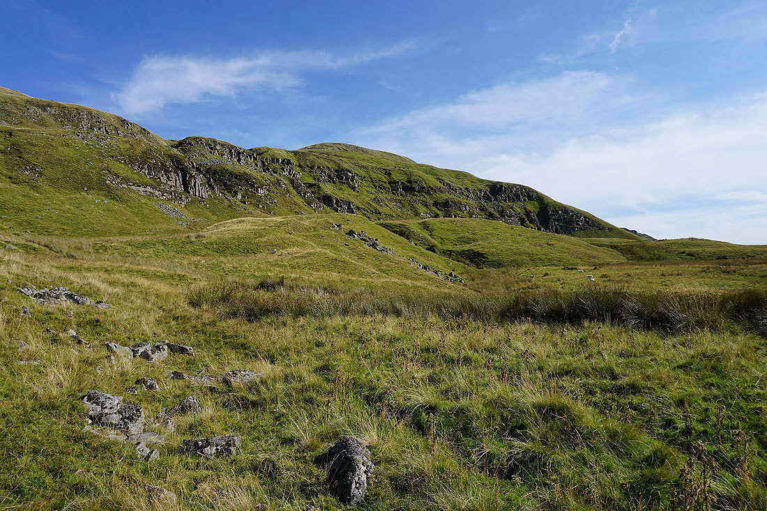
On High Loven Scar
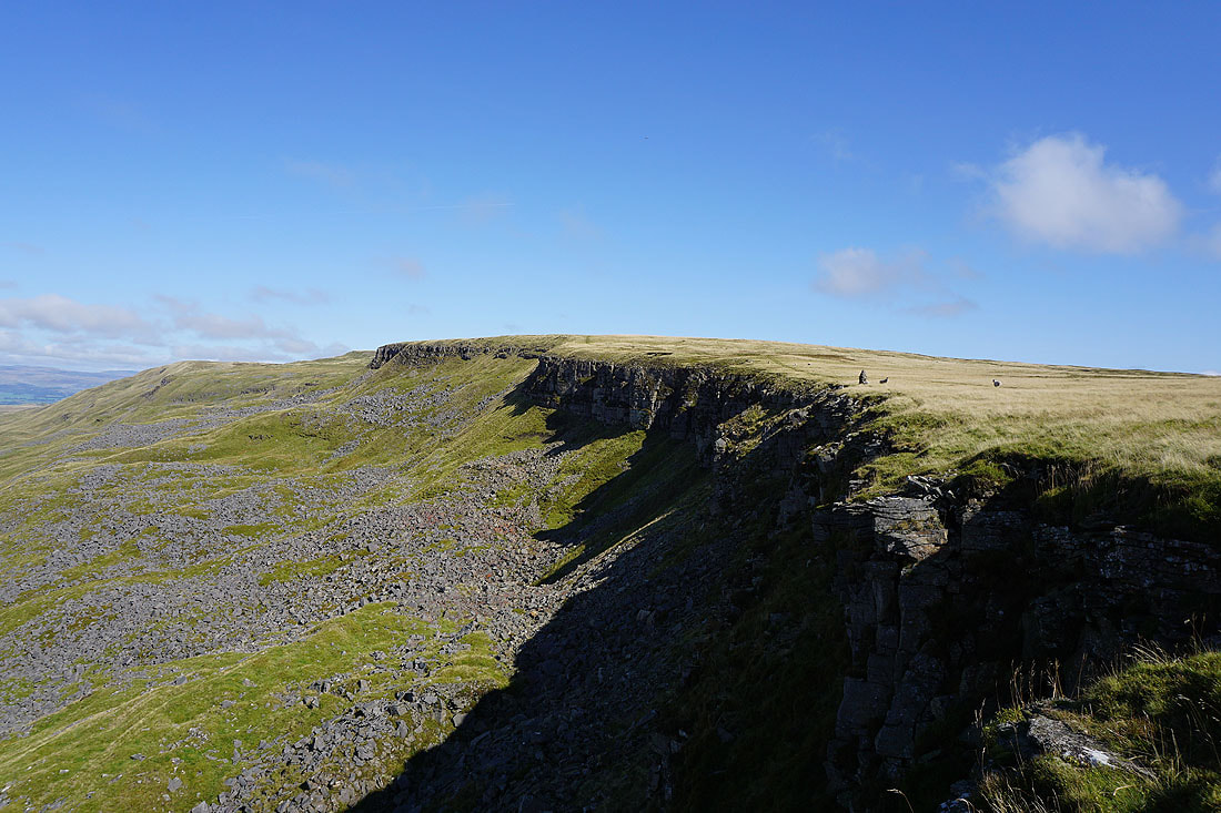
High Seat above Mallerstang Edge from High Loven Scar
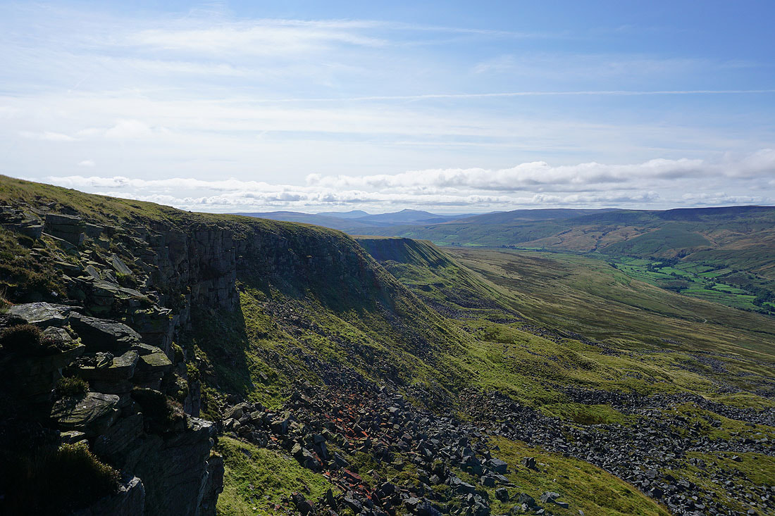
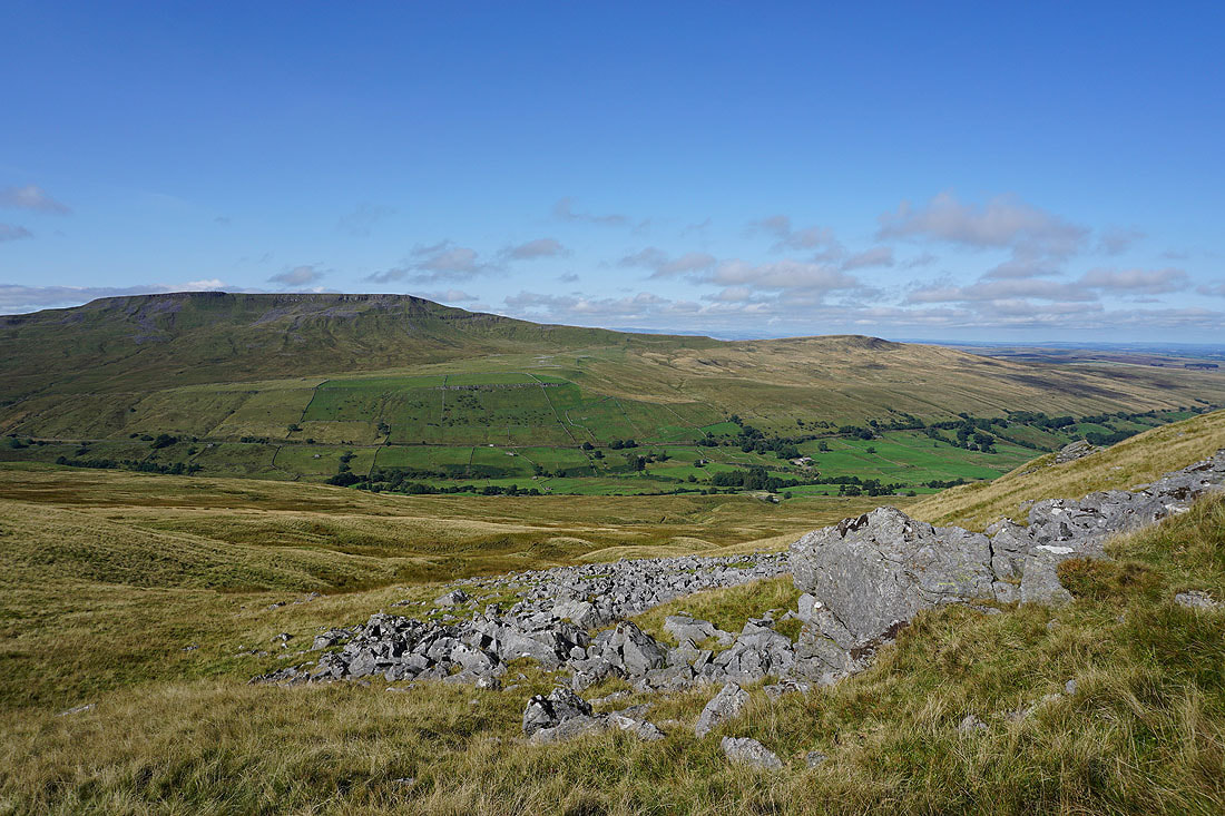
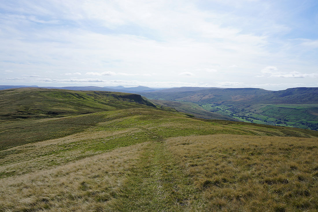
Looking south along High Loven Scar and Hangingstone Scar to Ingleborough and Whernside in the distance. I think this is my favourite view of the day..
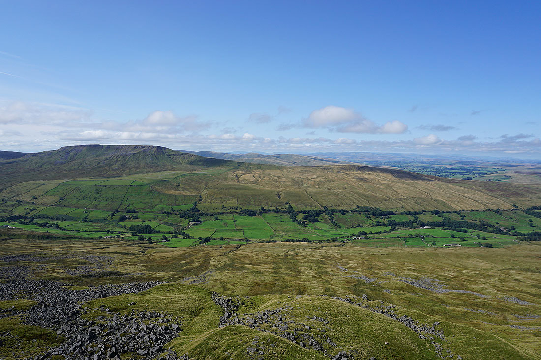
Wild Boar Fell, the northern part of the Howgills, and a distant line of Lake District fells
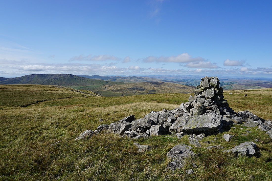
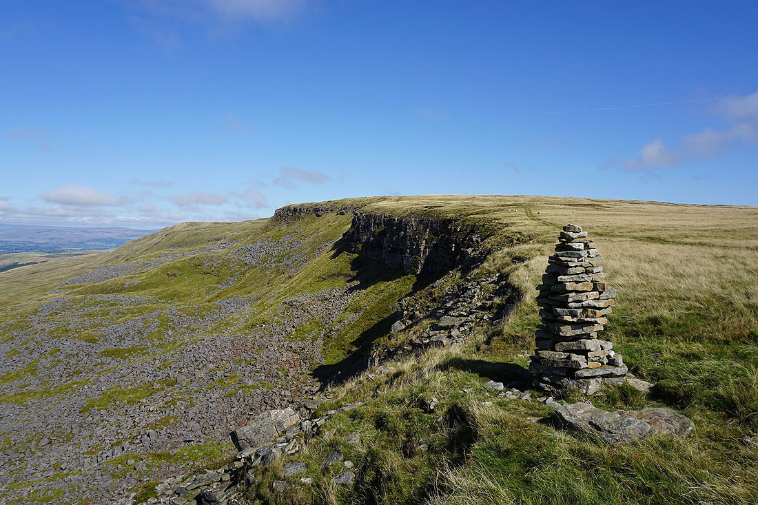
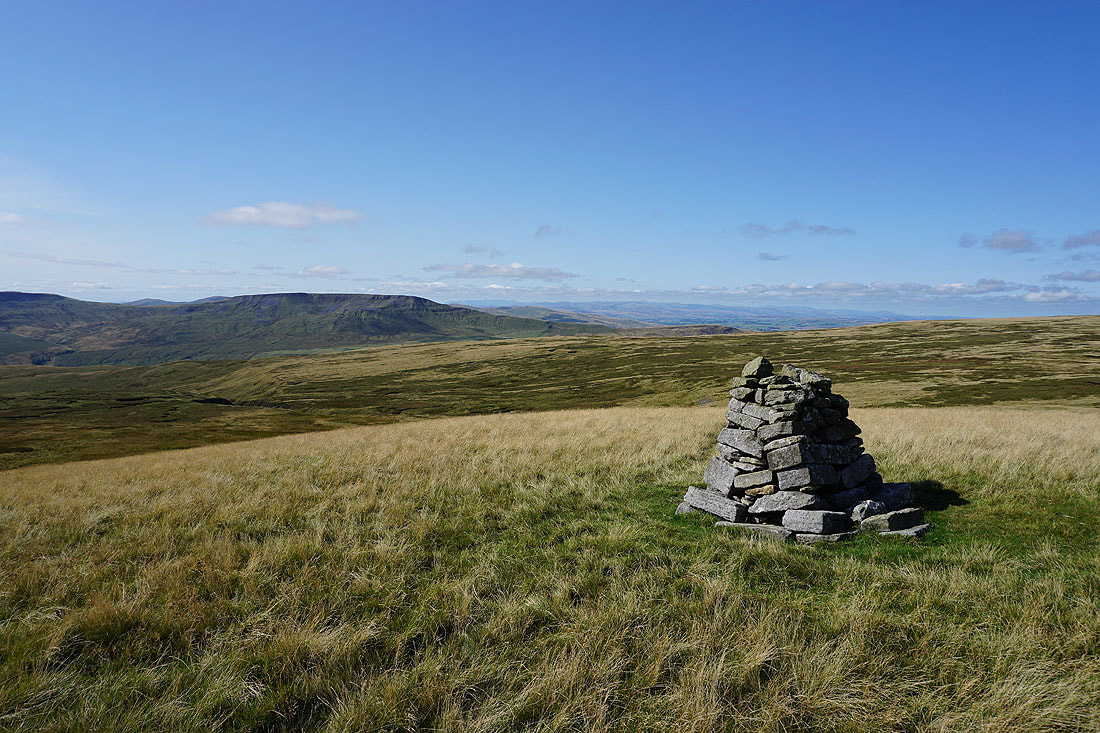
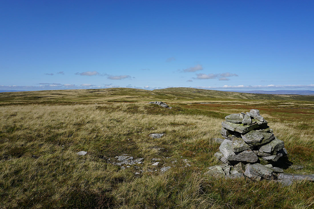
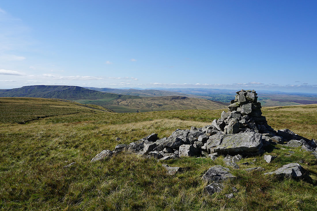
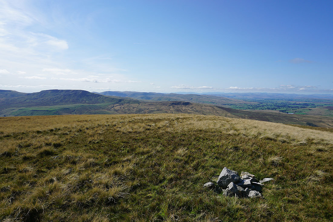
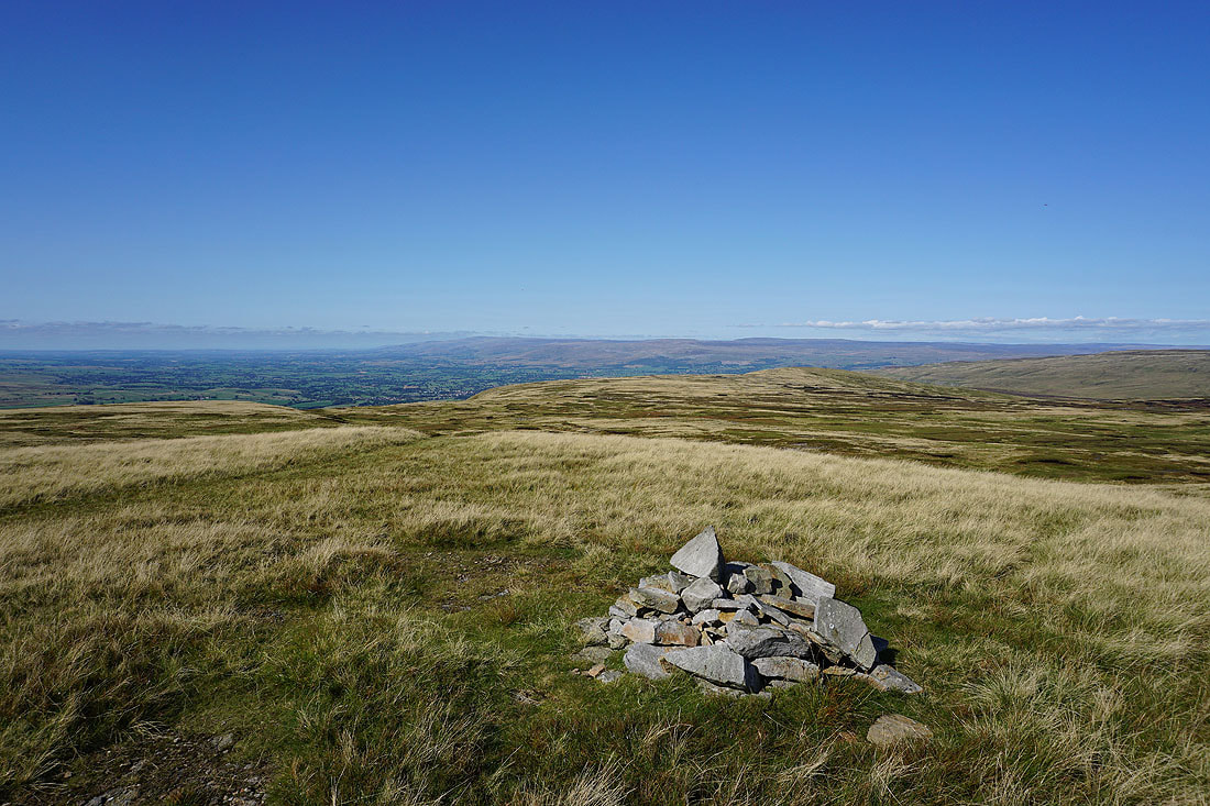
A short ascent from High Loven Scar brings me to the cairn on Gregory Chapel. This is a great spot to stop for lunch, especially with this view to take in.
Great Shunner Fell and Hugh Seat to the southeast
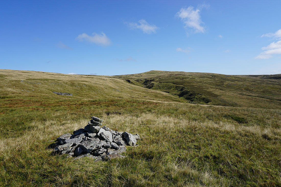
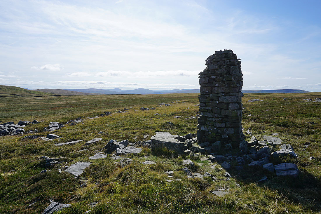
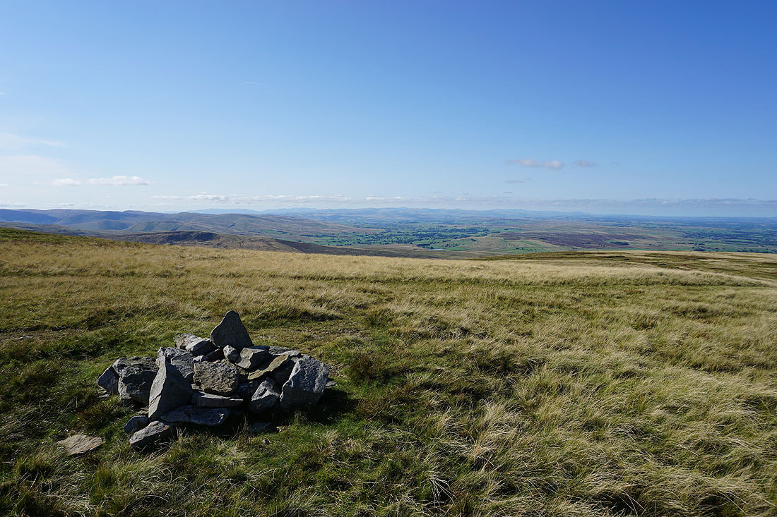
On my way from Gregory Chapel to Hugh Seat and I pass this well-built cairn. Looking east to Rogan's Seat and upper Swaledale.
Wild Boar Fell from the Lady's Pillar cairn on Hugh Seat
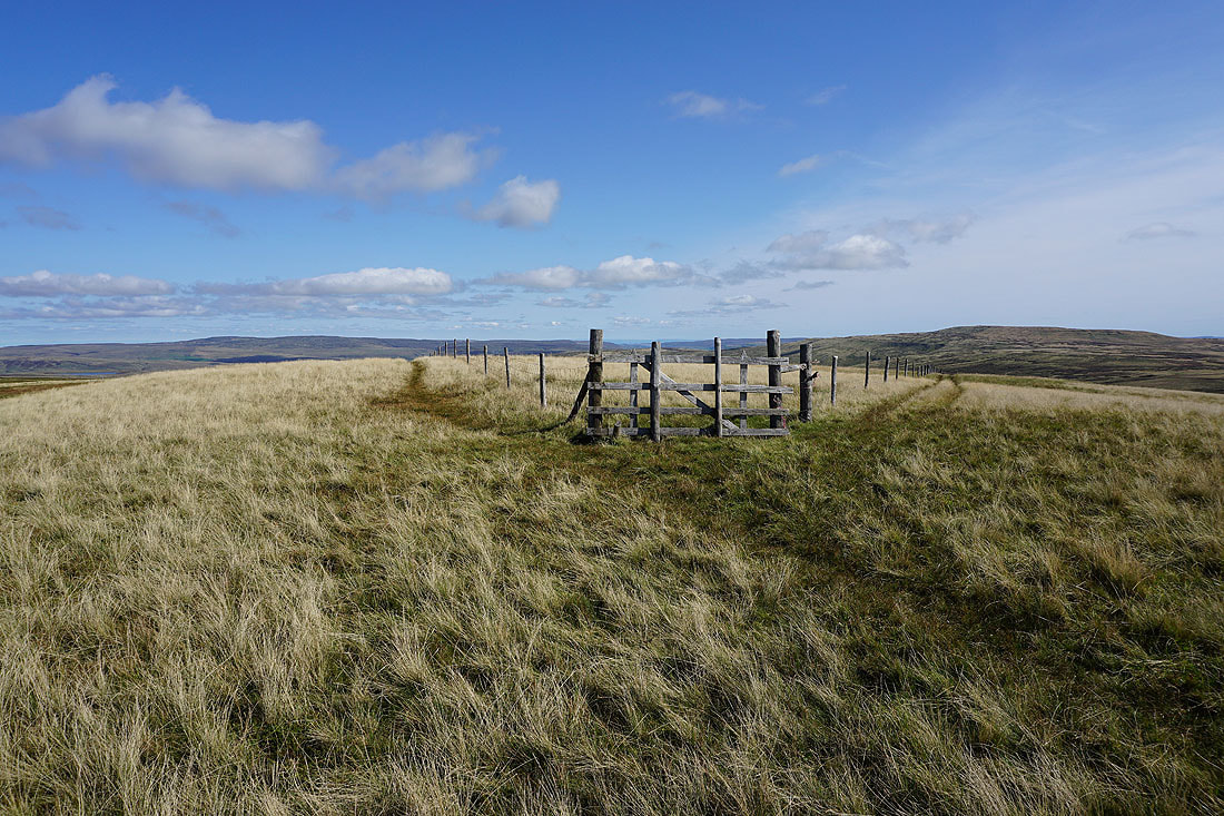
The rather uninspiring summit of Hugh Seat. There isn't a cairn, just a change in direction of the fence that runs across its top.
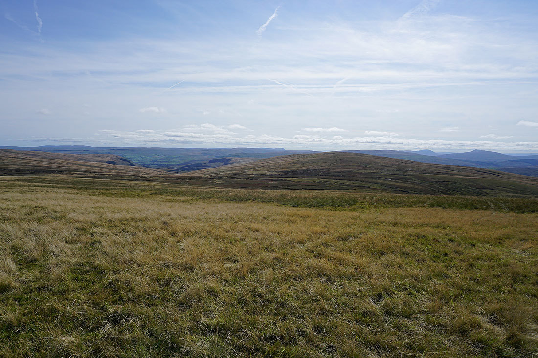
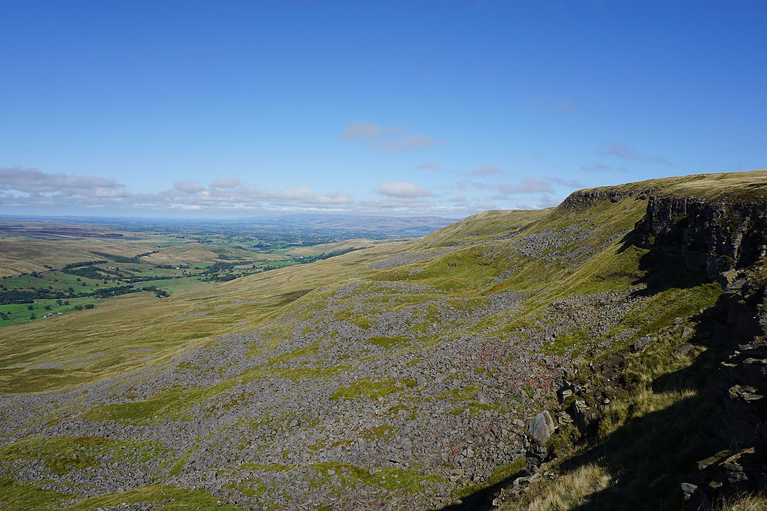
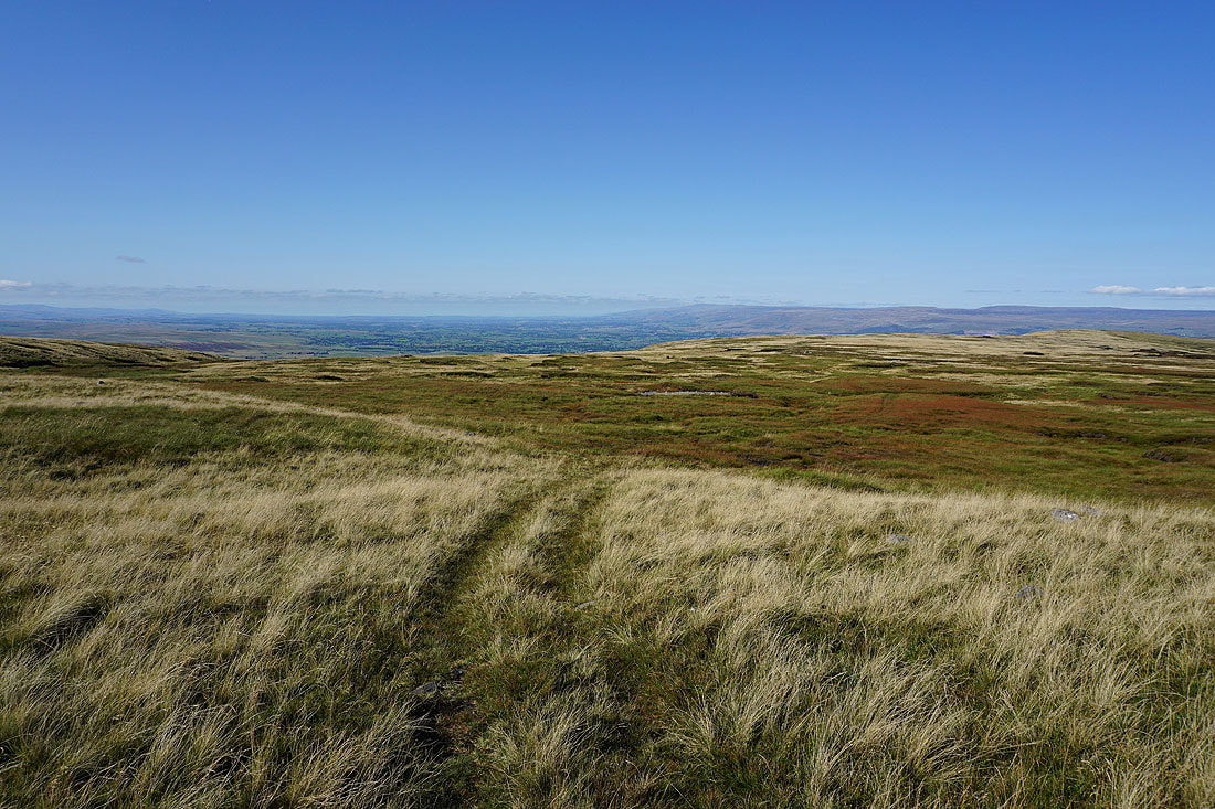
The summit might be boring, but today the view certainly isn't. To the south the valley of Cotterdale heads down to the top of Wensleydale, with Lunds Fell on the right, then in the distance are Wether Fell, Dodd Fell Hill, Penyghent, Great Knoutberry Hill, Ingleborough, and Whernside.
Great Shunner Fell if you follow the fence
Rogan's Seat and upper Swaledale to the east
Leaving Hugh Seat I head back north to Gregory Chapel and High Seat
Ingleborough and Whernside in the distance as I pass the well-built cairn again
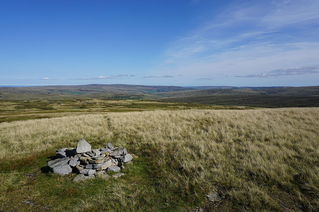
Back at Gregory Chapel and a few photos of the great view today. Wild Boar Fell, the northern Howgills and a distant skyline of Lakeland fells.
A distant view to Penyghent, Ingleborough and Whernside..
Heading north to High Seat
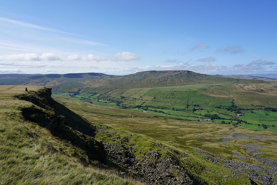
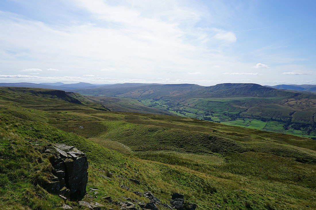
Looking back to Gregory Chapel on the left, Ingleborough and Whernside in the distance, and the valley of Mallerstang below on the right
Upper Swaledale and Great Shunner Fell
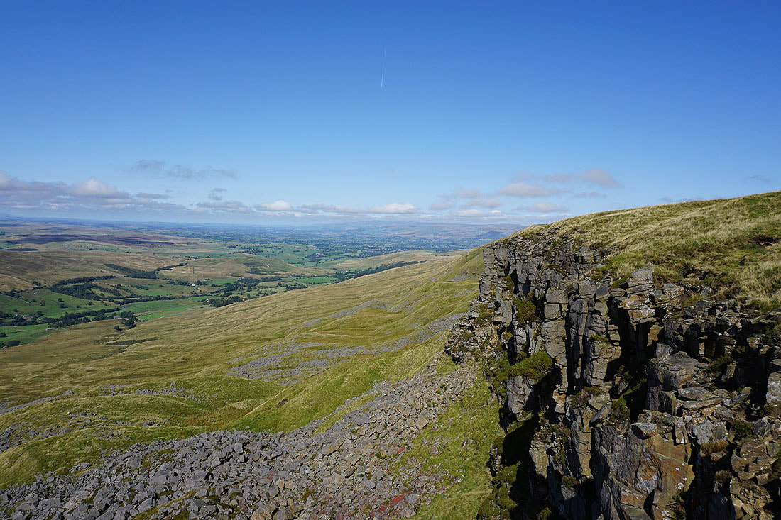
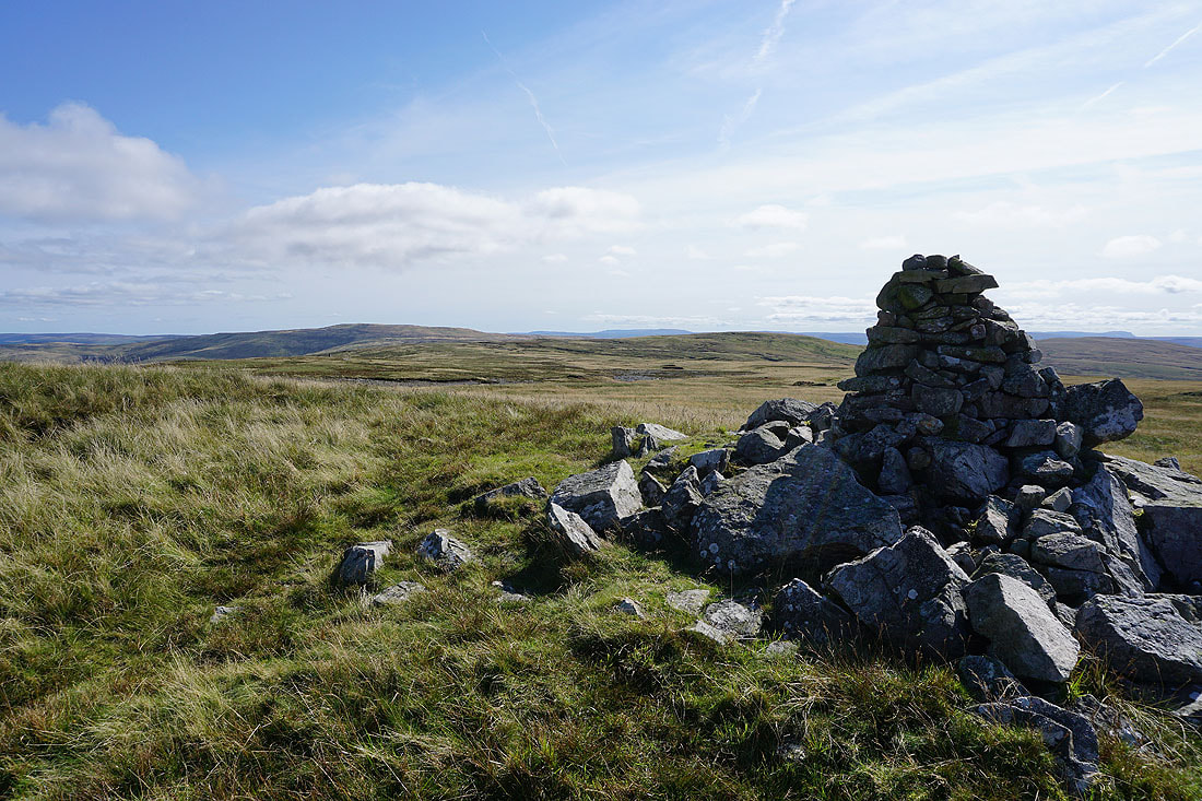
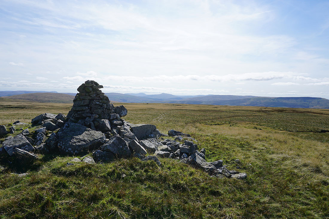
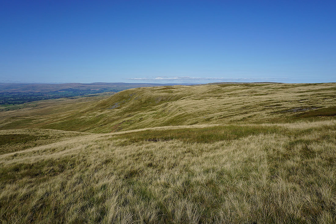
On the summit of High Seat. Looking west to Wild Boar Fell, Little Fell, and the northern Howgills.
Ingleborough, Whernside, Swarth Fell, Wild Boar Fell, and Mallerstang from the western edge of the summit
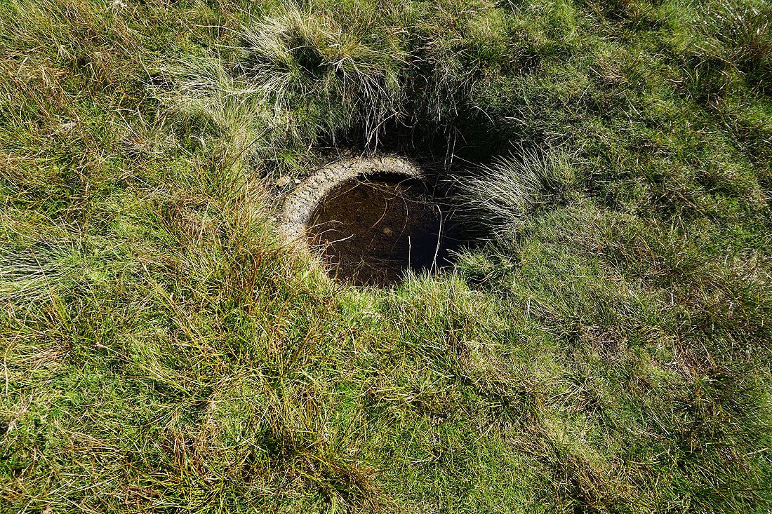
An OS benchmark with concrete ring buried in the grass. I think I missed this on my previous visit.
Cross Fell and the North Pennines in the distance beyond the valley of the River Eden
Rogan's Seat and upper Swaledale to the east
A long line of Lake District fells in the distance. The visibility is good enough to make out Scafell Pike, Great Gable, Helvellyn, Skiddaw and Blencathra.
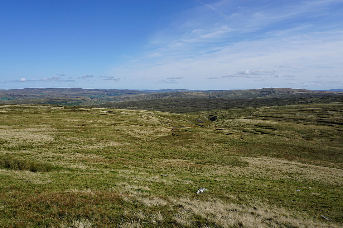
Finally, Nine Standards Rigg on the other side of a boggy Birkdale Common and the road from Kirkby Stephen to Swaledale
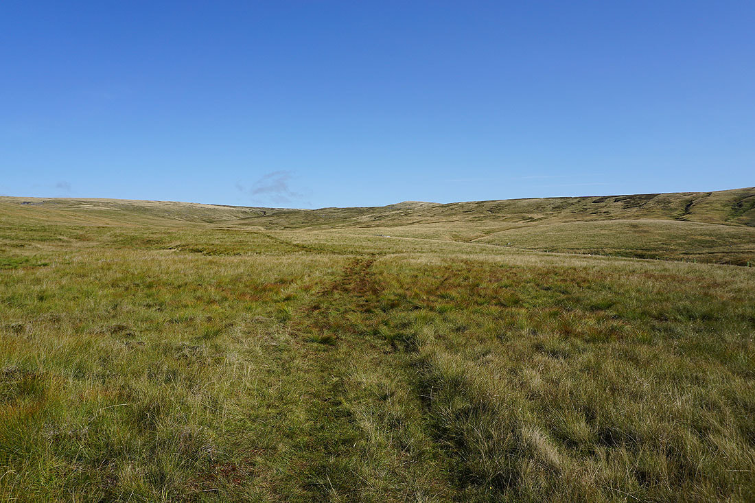
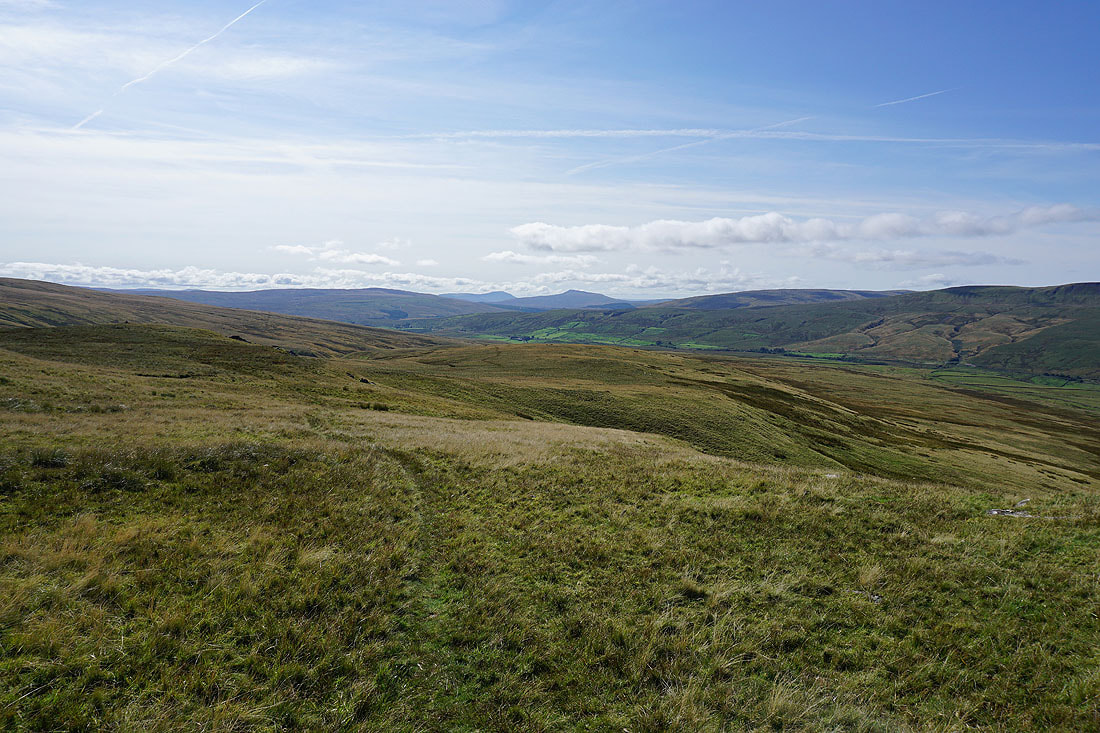
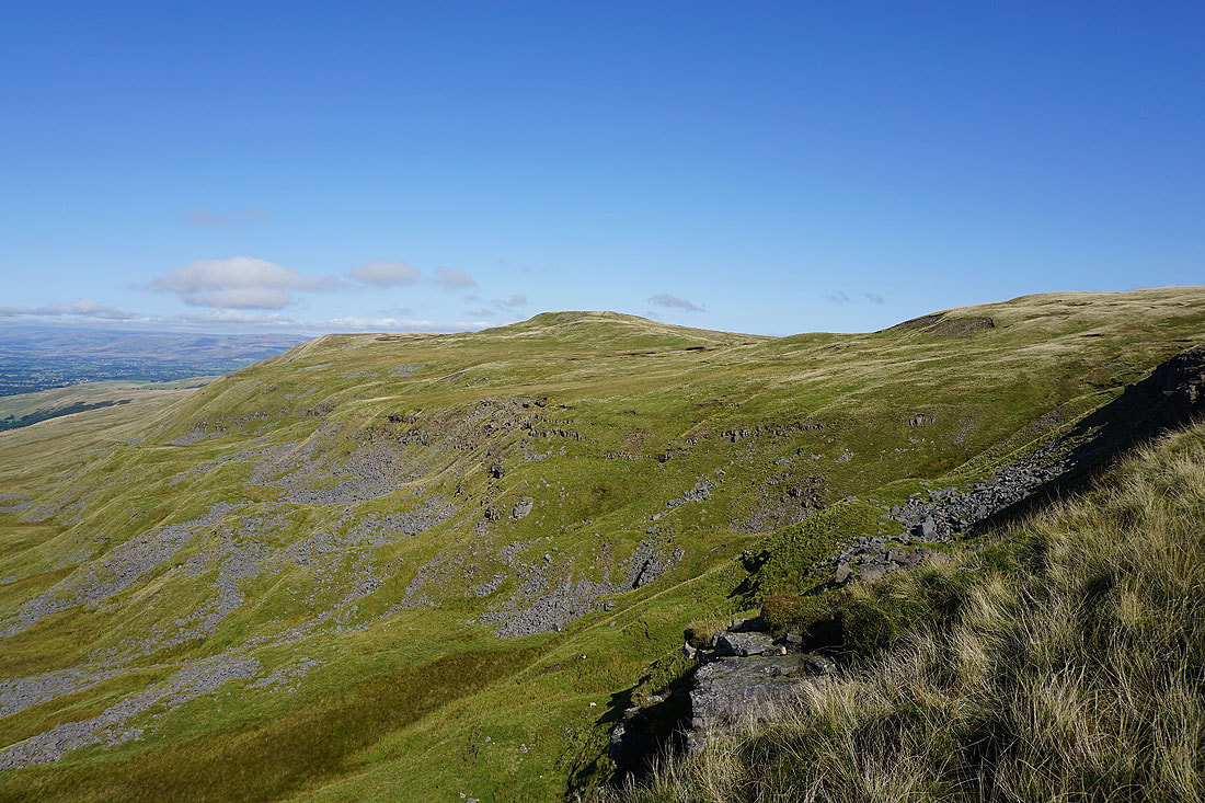
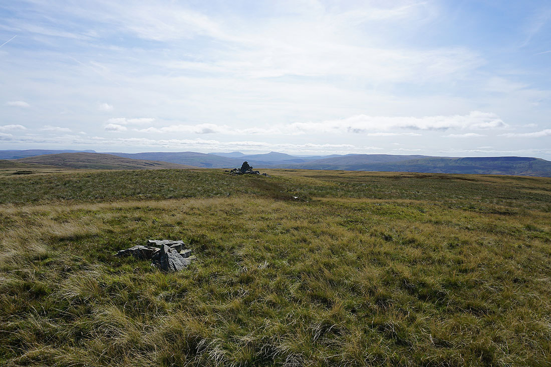
Leaving High Seat I have rough moorland to cross to reach the top of Gale Sike and Lindrigg Scars...
Ingleborough, Whernside, Swarth Fell, Wild Boar Fell, and Mallerstang from Lindrigg Scars
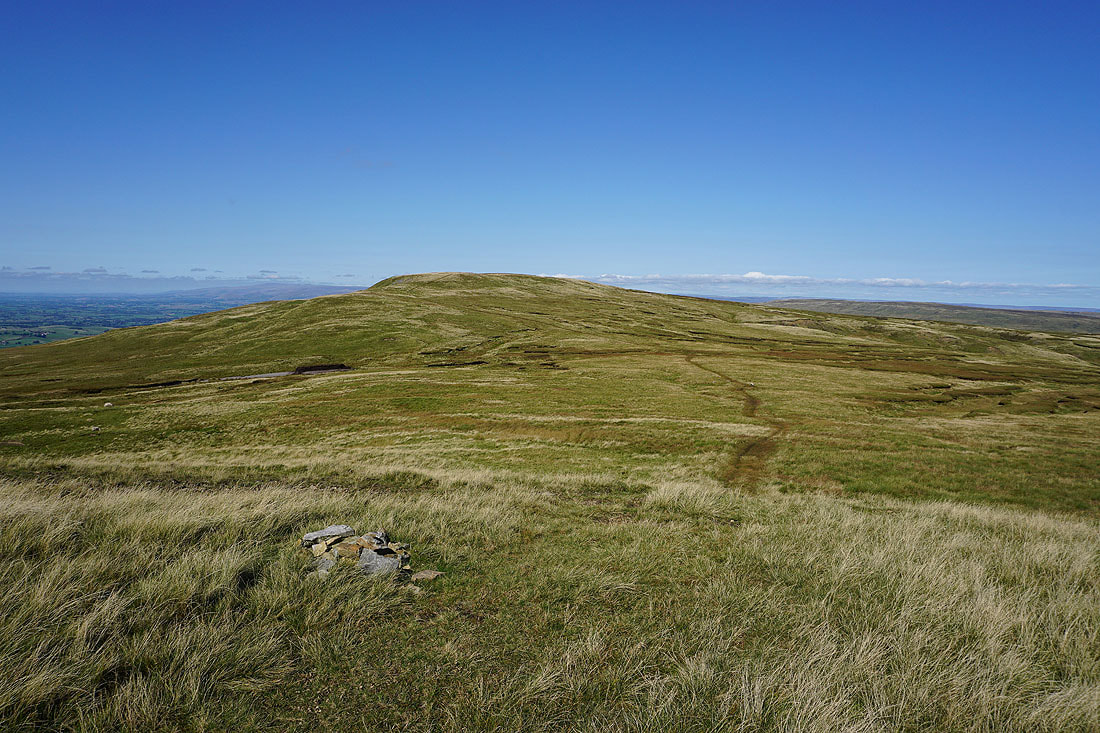
Below Lindrigg Scars
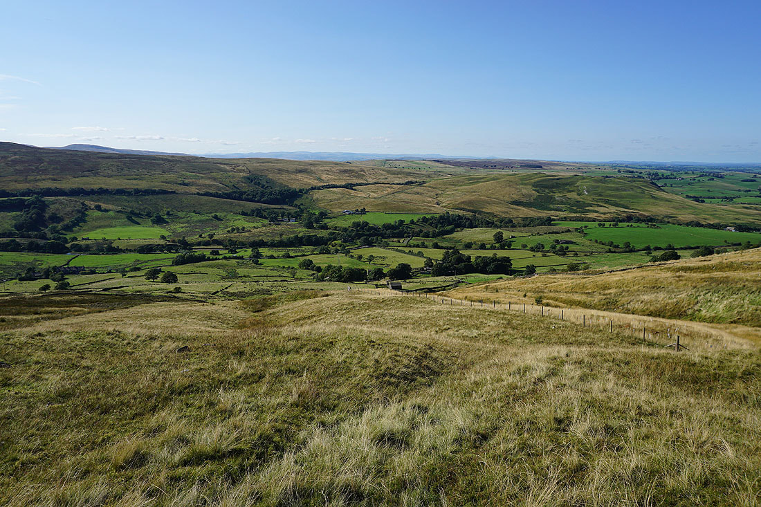
Heading down access land by the beck of Gale Sike
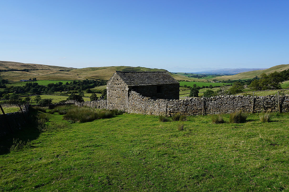
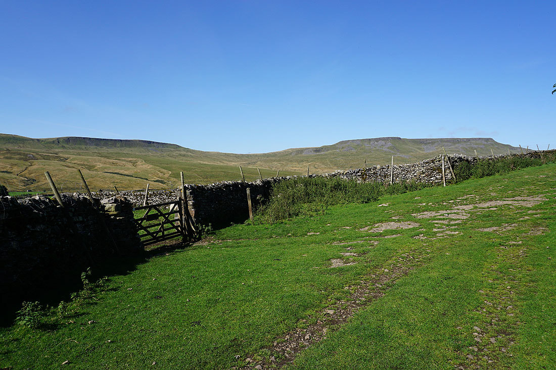
I was aiming for this barn on the way down. The bridleway down to the road through Mallerstang meets access land at the gate to its left.
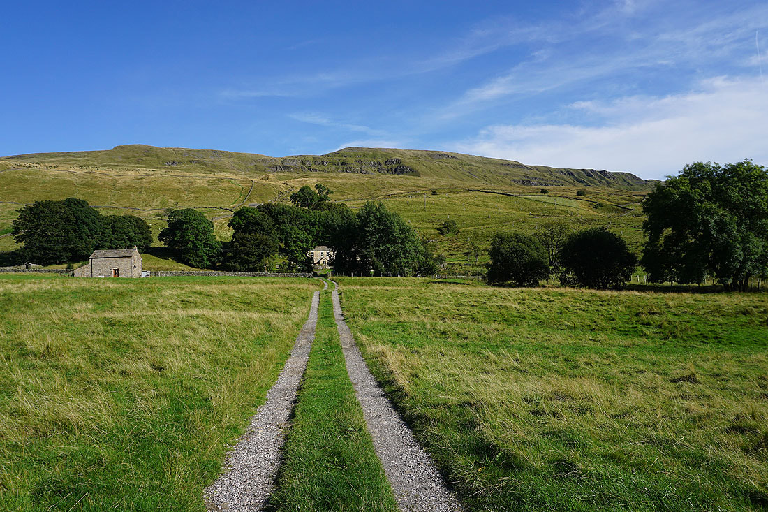
Looking back to Lindrigg Scars and the fellside behind Castlethwaite that was my way down
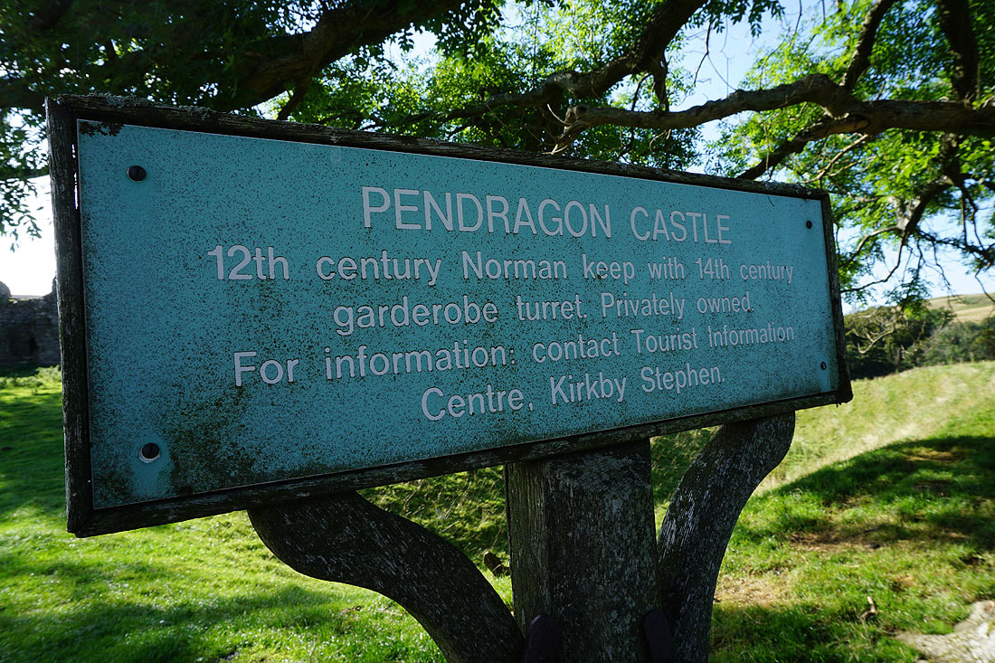
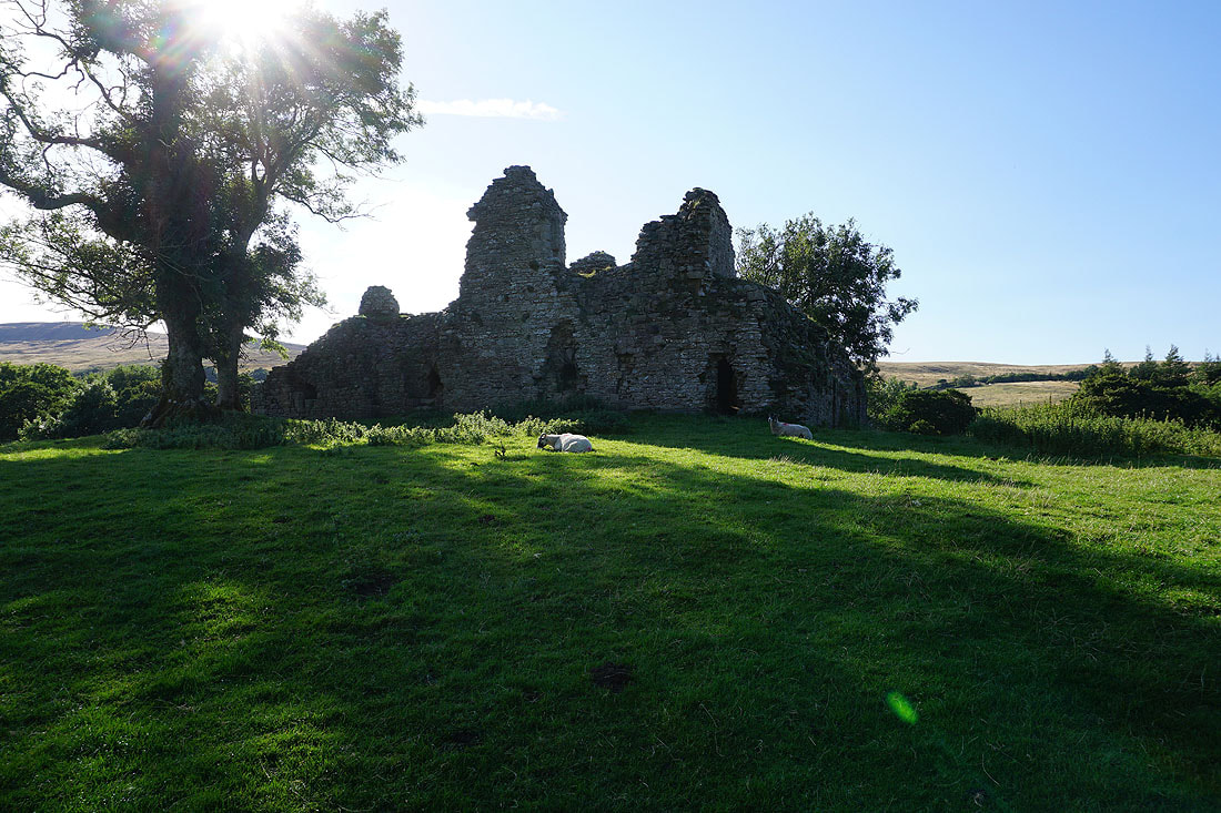
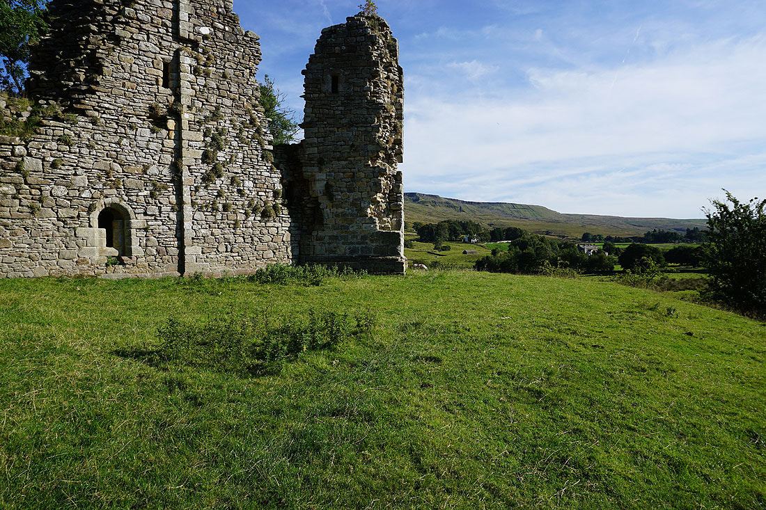
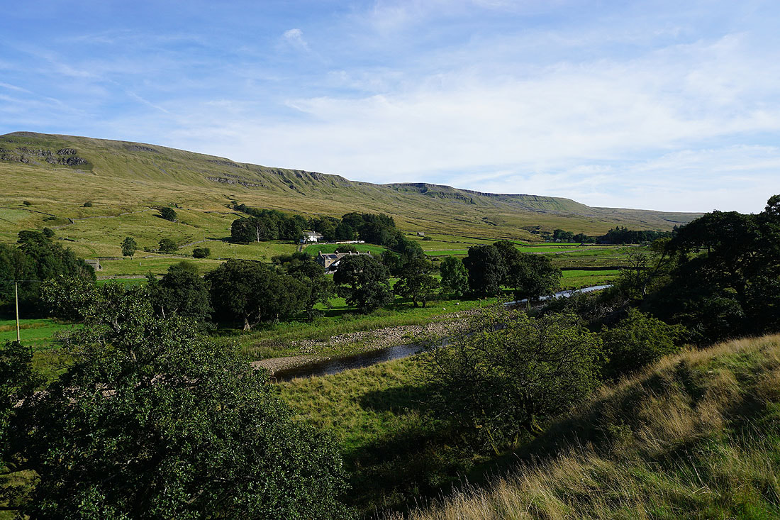
A visit to the ruins of Pendragon Castle...
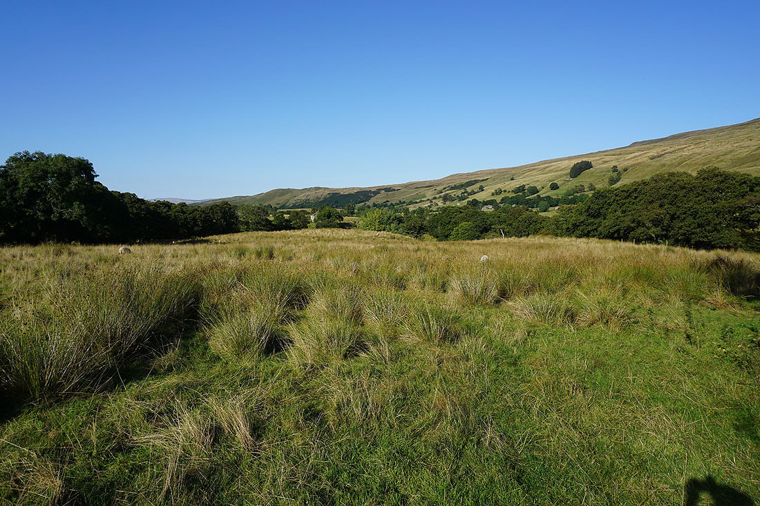
Following the footpath south up Mallerstang to Shoregill
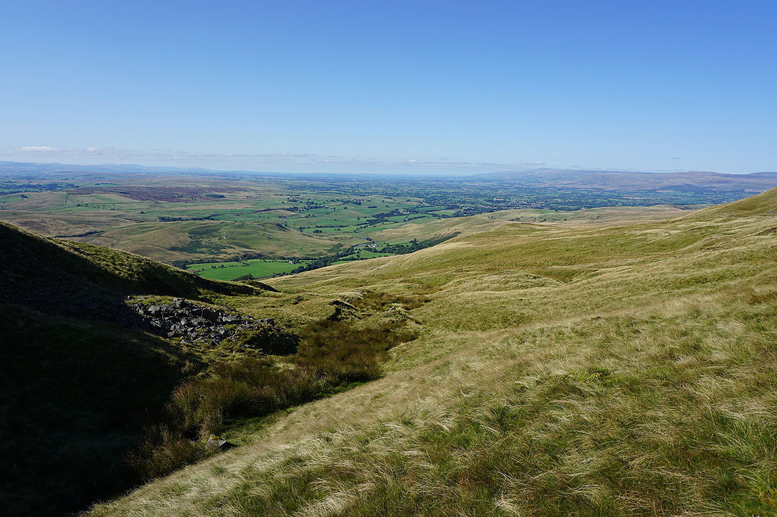
To my left I have a view across the River Eden to Mallerstang Edge
Looking down Mallerstang as I reach the hamlet of Shoregill
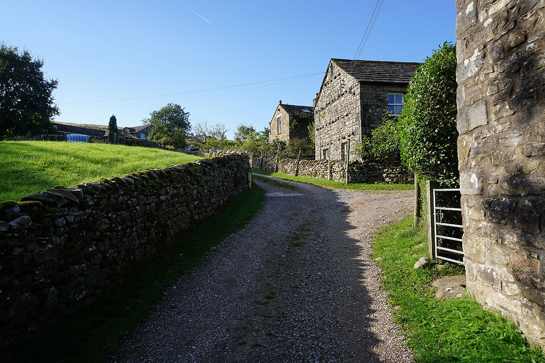
In the hamlet of Shoregill
From Shoregill I take a footpath by the River Eden..
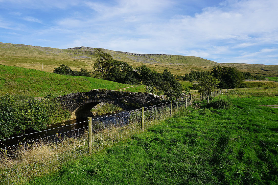
..to reach Thrang Bridge
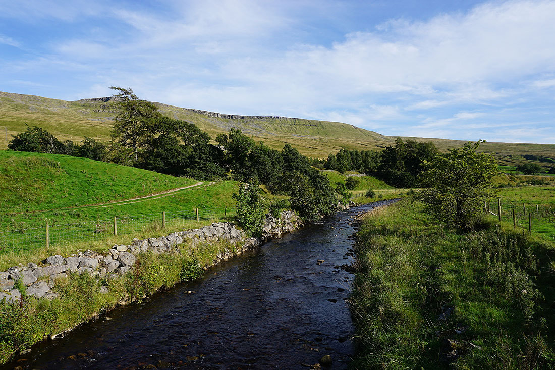
A final shot of Hangingstone Scar and the River Eden from Thrang Bridge