14th April 2018 - Around Combs Moss
Walk Details
Distance walked: 10.7 miles
Total ascent: 1593 ft
OS map used: OL24 - The Peak District, White Peak area
Time taken: 6 hrs
Route description: Layby on A5004 at Long Hill-White Hall Centre-Midshires Way-Combs Edge-Castle Naze-Short Edge-Black Edge-Flint Clough-southwest top of Combs Moss-Midshires Way-White Hall Centre-Layby on A5004 at Long Hill
I've managed to go eight months without doing a walk in the Peak District, so about time that I did one. In the end I decided on doing a circuit of Combs Moss, a stretch of moorland that lies between Chapel-en-le-Frith and Buxton. I have done this route before, a couple of years ago and I really enjoyed it. A small difference on this occasion was starting from a layby on the A5004, which is a bit easier for me to get to than starting from by Errwood Reservoir. I set off a little later than I usually do to give more time for the weather to brighten up, as it was forecast to do. It didn't take long for it to do so after I set off and it turned into a lovely spring day with some warm sunny spells. About time too!
I started this walk from the layby on the A5004 above Fernilee Reservoir at Long Hill. Unfortunately this meant starting with walking south on the grass verge to pick up the public footpath that runs across the hillside to meet the trail of the Midshires Way. I then followed the trail up to the A5004. I crossed the road and continued following the trail up and across a hill to reach the White Hall Centre. The trail continues along a byway past here and as the moorland looms up on the left I looked out for a gate and stile that give entry to access land. Over the stile and a quad bike track was used to head up to the wall on the moor above and the path that heads north along Combs Edge. Combs Edge is joy to follow. There's a clear path (boggy in places) that keeps with the wall as it heads north to Allstone Lee Tor and Castle Naze. After having lunch on Castle Naze I continued to follow the moorland edge by heading east along Short Edge and then south along and past the trig point on Black Edge. The path then makes it way around Flint Clough before heading past the top of Light Wood. The circuit of the moor was completed by heading northwest to the unnamed southwestern top of Combs Moss. From here I made my way back down to the stile I crossed in the morning and I then retraced my steps back to the layby above Fernilee Reservoir.
Route map
© Crown copyright. All rights reserved. License number PU 100034184.
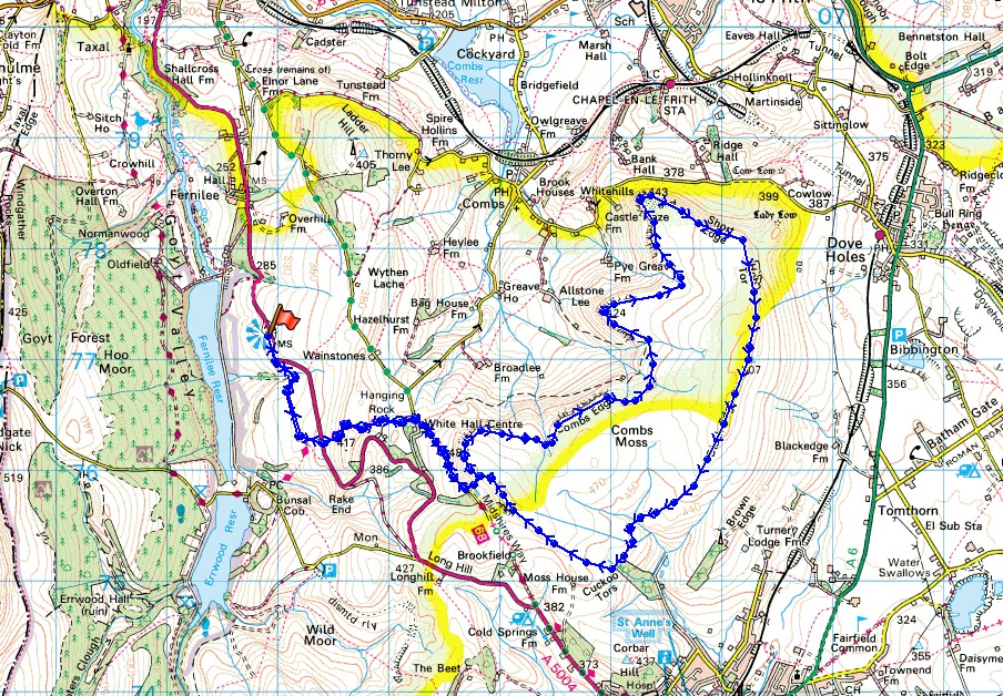
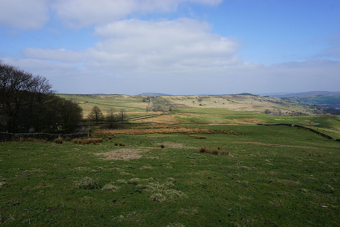
Goyt Forest and Fernilee Reservoir to Whaley Moor..
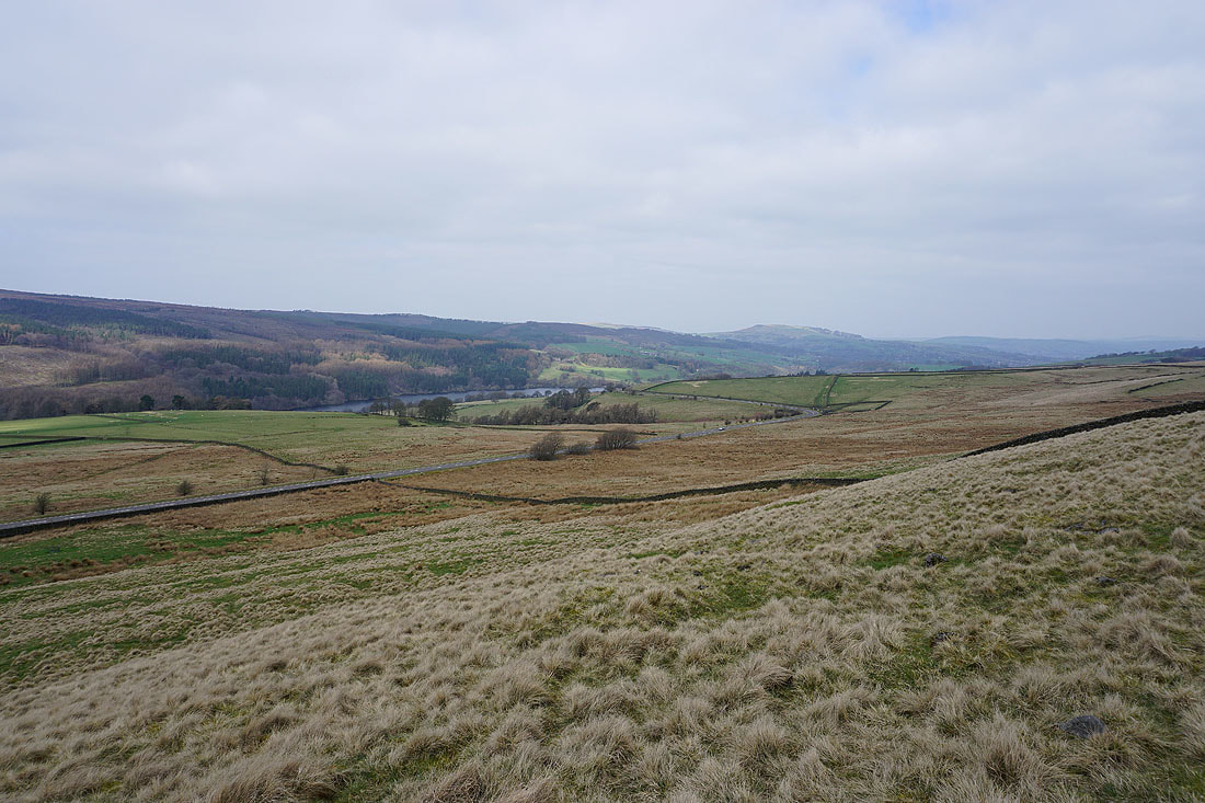
..and Shining Tor above Errwood Reservoir from the bridleway to White Hall Centre after crossing the A5004
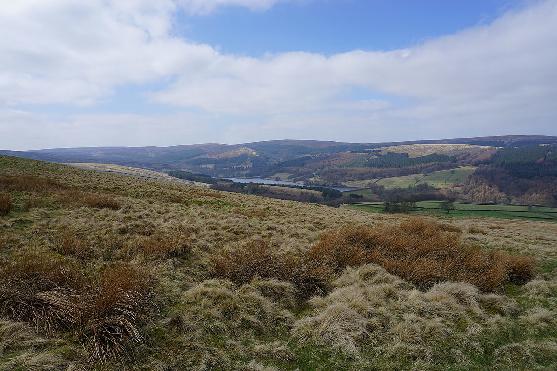
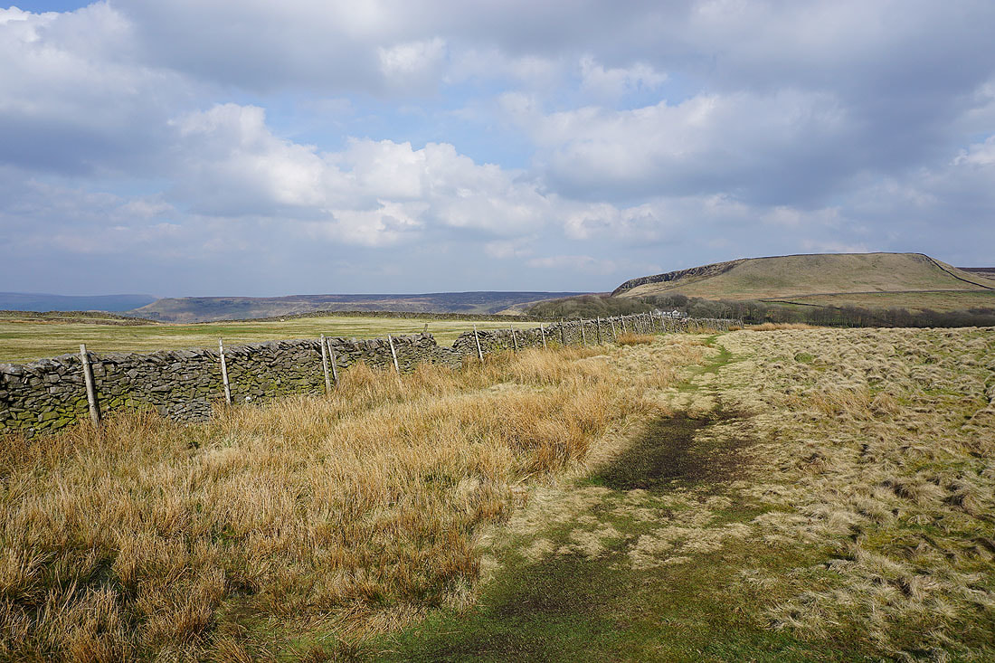
Kinder Scout and Combs Edge appear as the bridleway passes over the crest of the hill
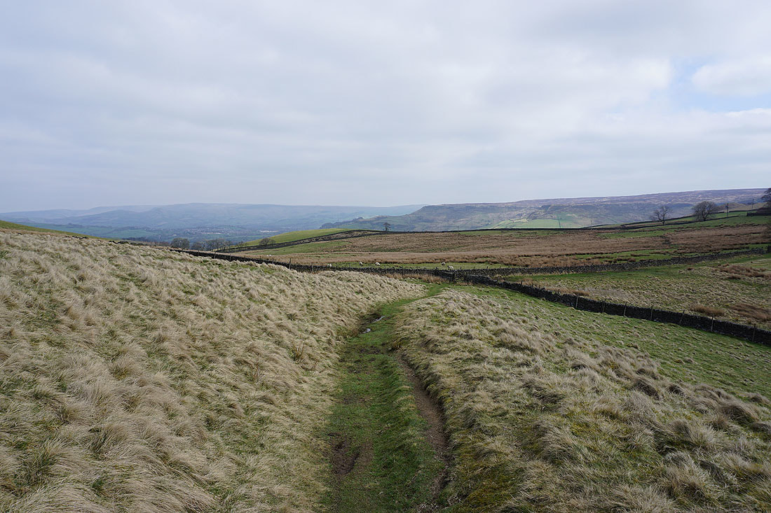
Ladder Hill from outside the White Hall Centre
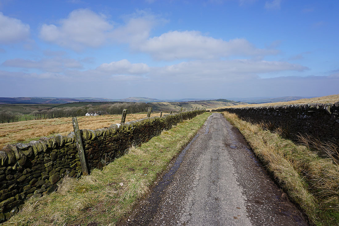
Looking back along the byway with the White Hall Centre in the trees on the left
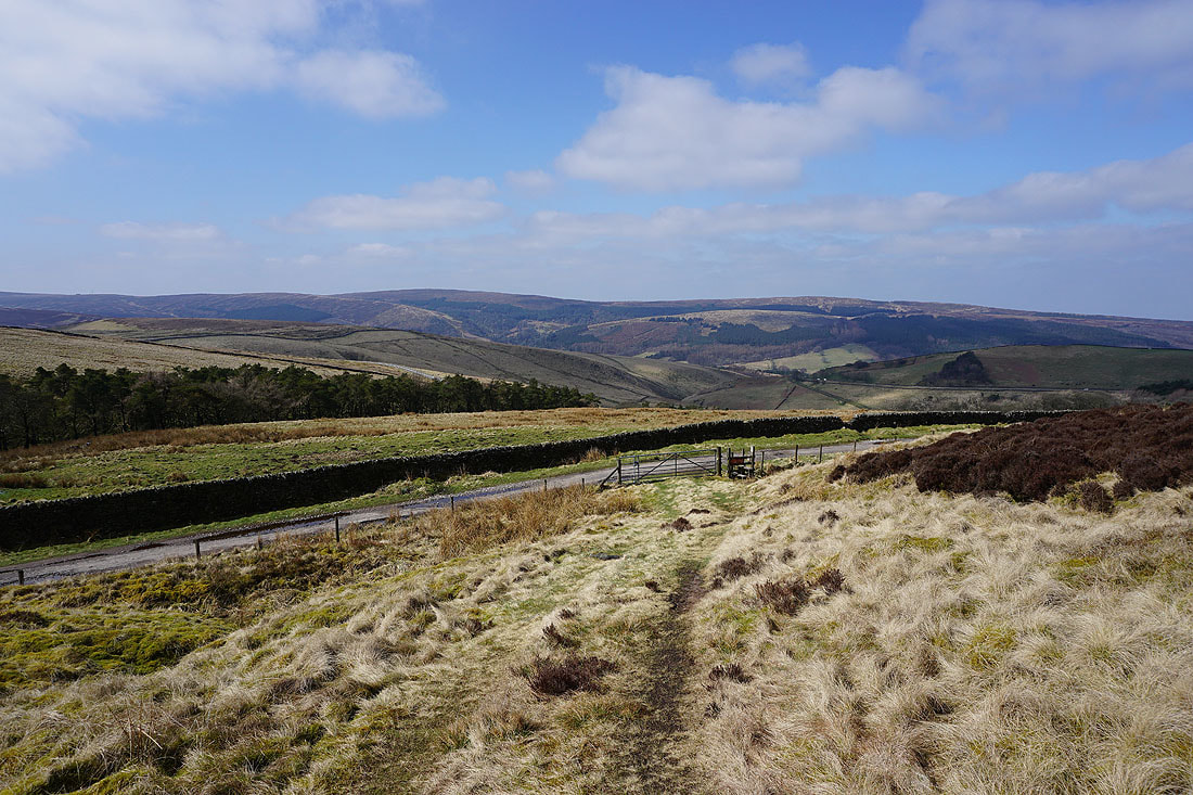
Shining Tor and Cats Tor above the Goyt Valley as I cross the stile below onto access land
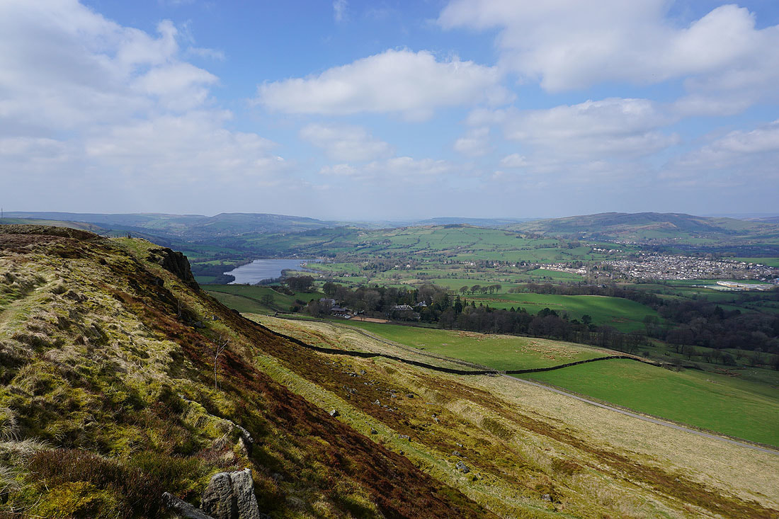
As I reach the western corner of the moorland of Combs Moss the view to the north of Combs Reservoir, the Combs Valley, Castle Naze and Kinder Scout gradually reveals itself...
Shining Tor, Cats Tor and the Goyt Valley
Right onto the edge with Chinley Churn, Chapel-en-le-Frith, Kinder Scout and Castle Naze to the north
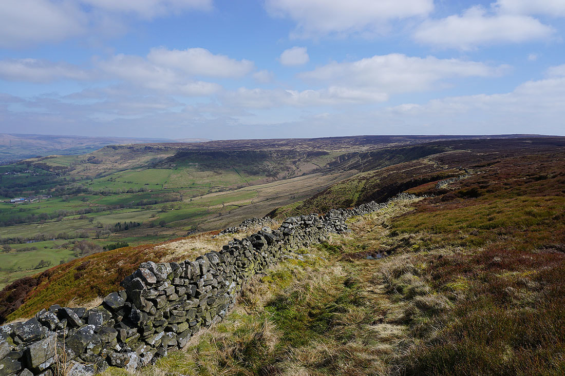
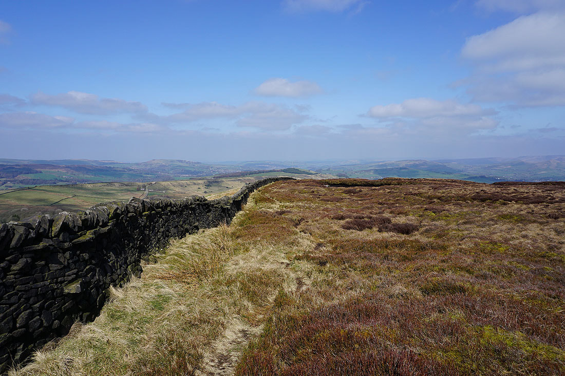
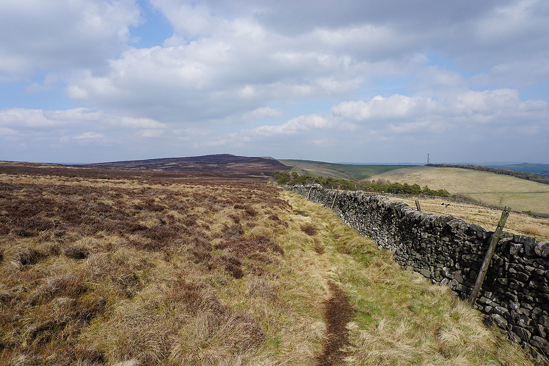
The best part of the walk lies ahead as I follow Combs Edge north by the wall
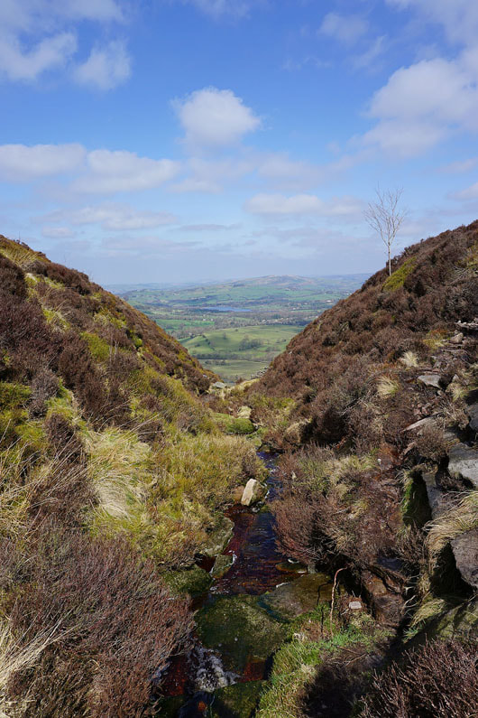
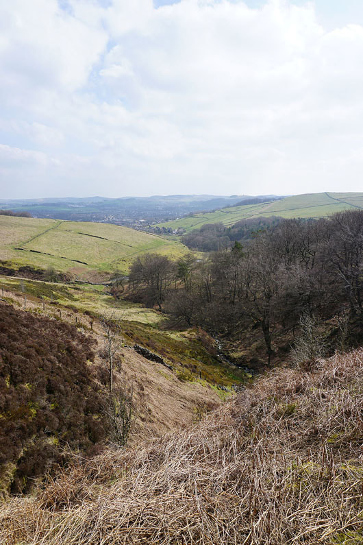
Across the first of a few brooks that drain Combs Moss
A look back along the edge
Allstone Lee Tor and Castle Naze to come
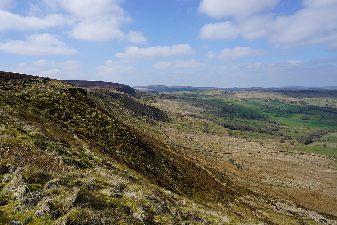
Looking back to the southern end of the edge
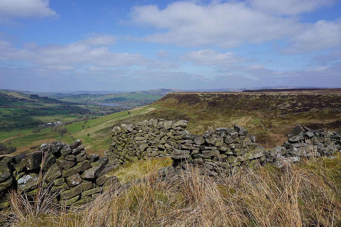
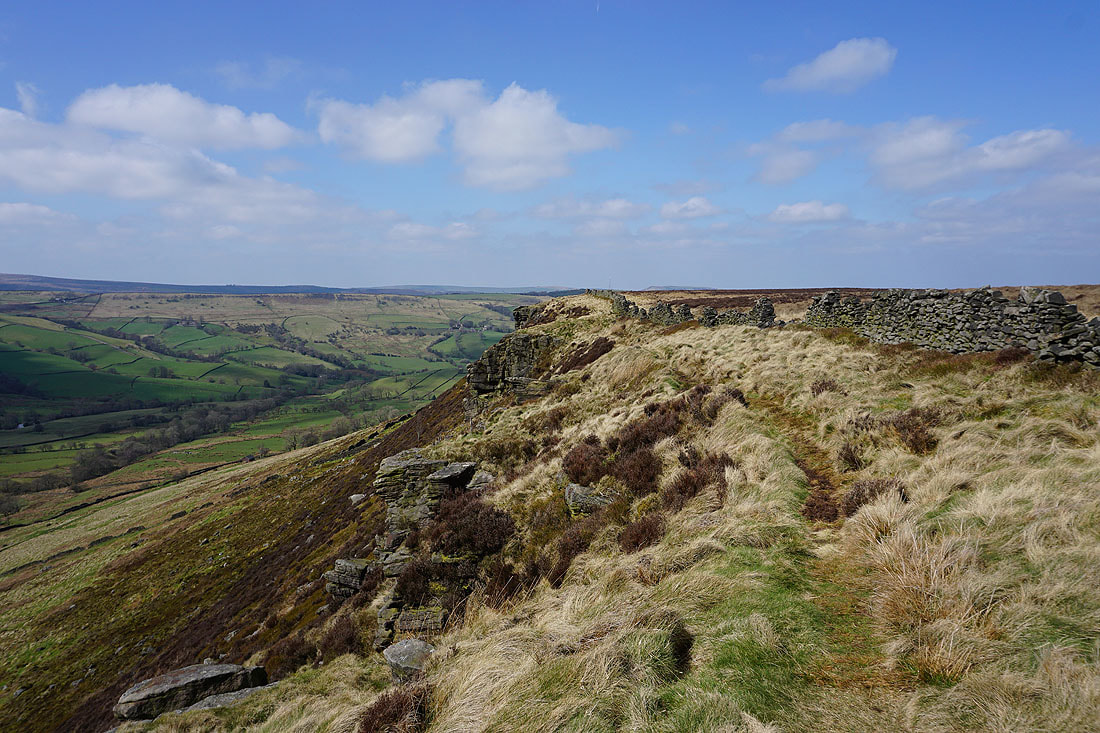
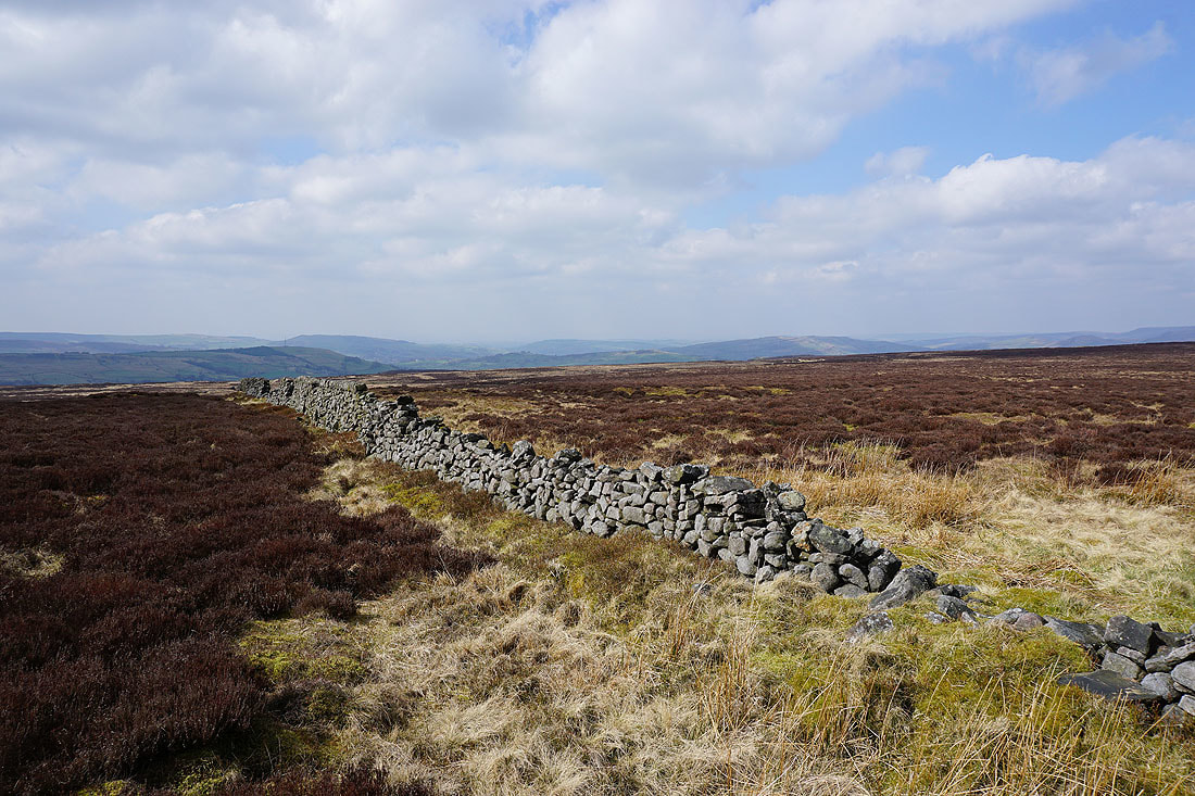
The crumbling dry stone wall on the edge provides plenty of photo opportunities
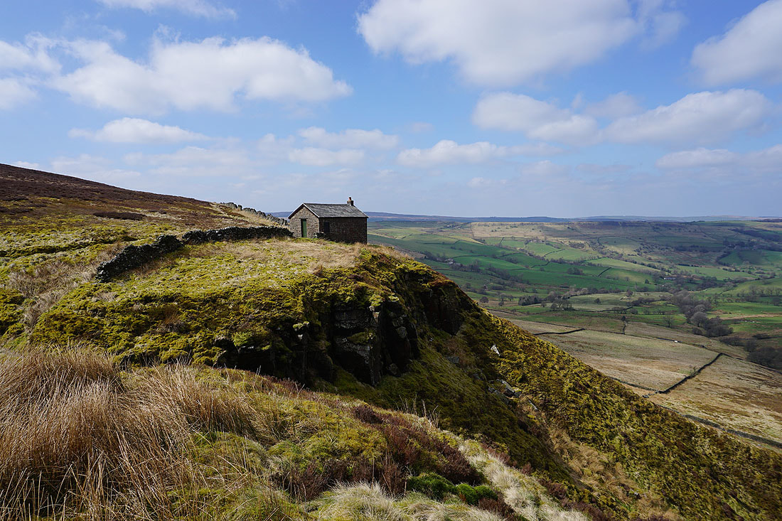
As does this shooting hut perched on the edge
and then there's both as I look back along the edge
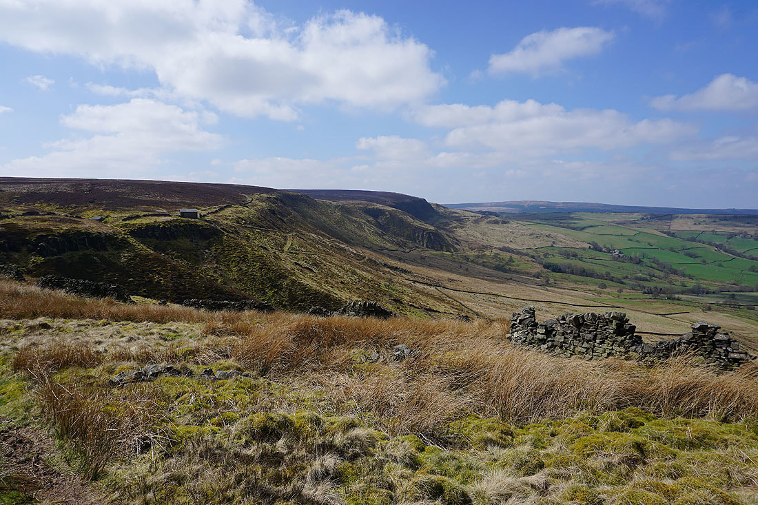
Approaching the end of Allstone Lee Tor
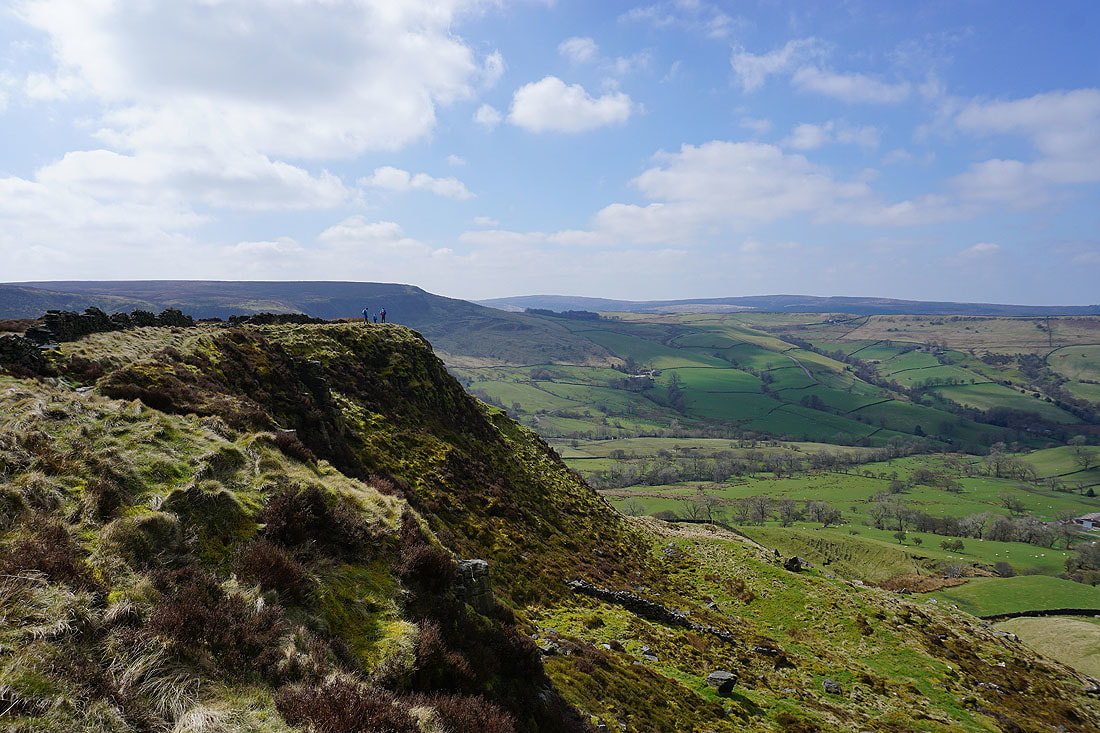
A great view as I look back from the other side of the tor
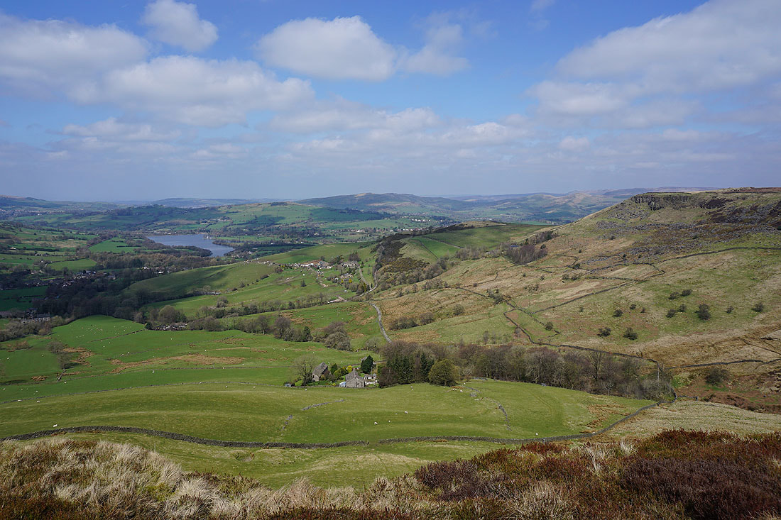
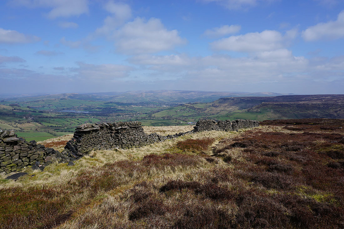
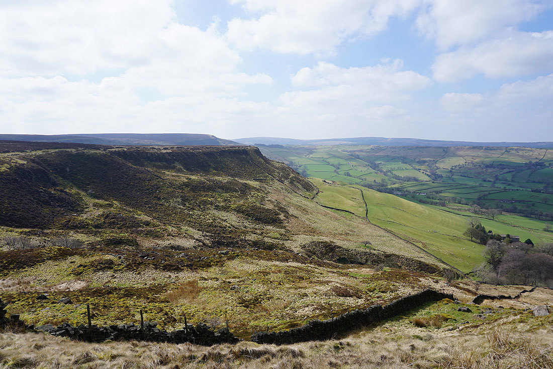
Combs Reservoir, Eccles Pike, Chinley Churn and Castle Naze
Castle Naze on the other side of Pyegreave Brook
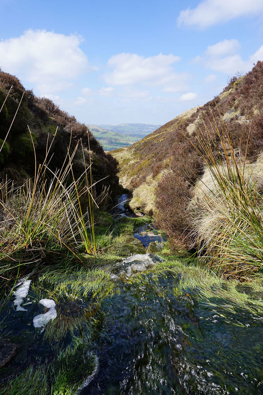
A fast flowing Pyegreave Brook
Looking back to Allstone Lee Tor
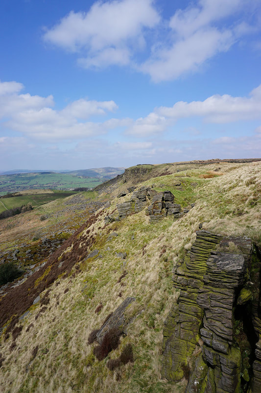
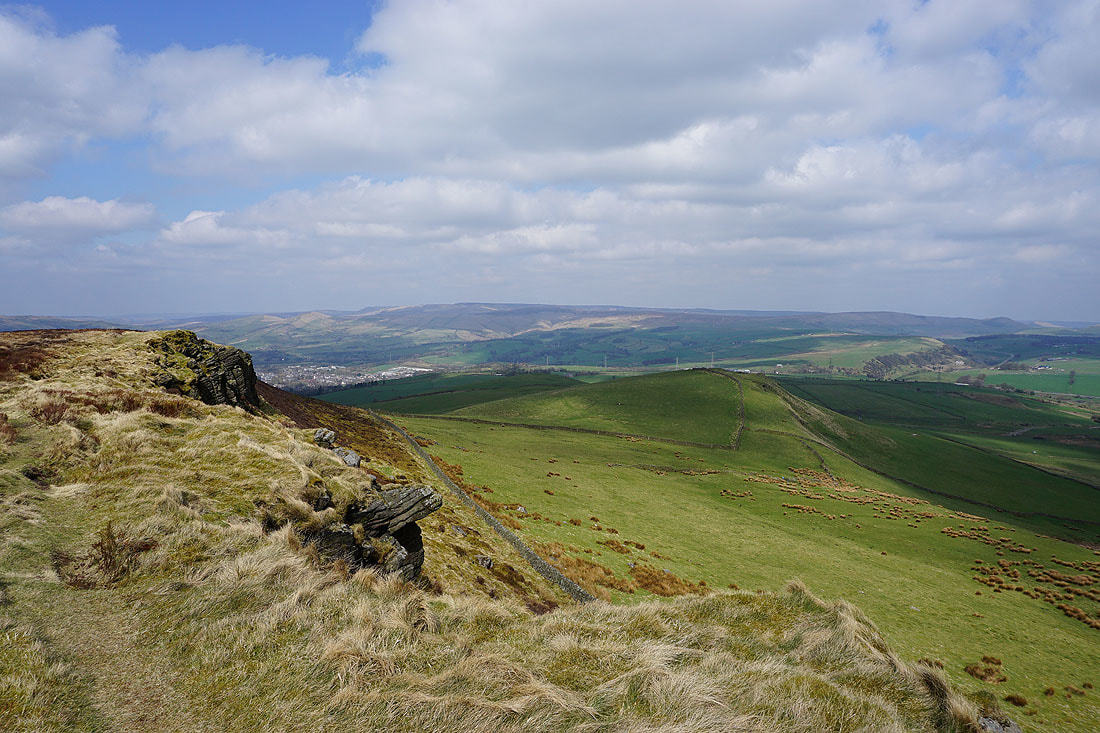
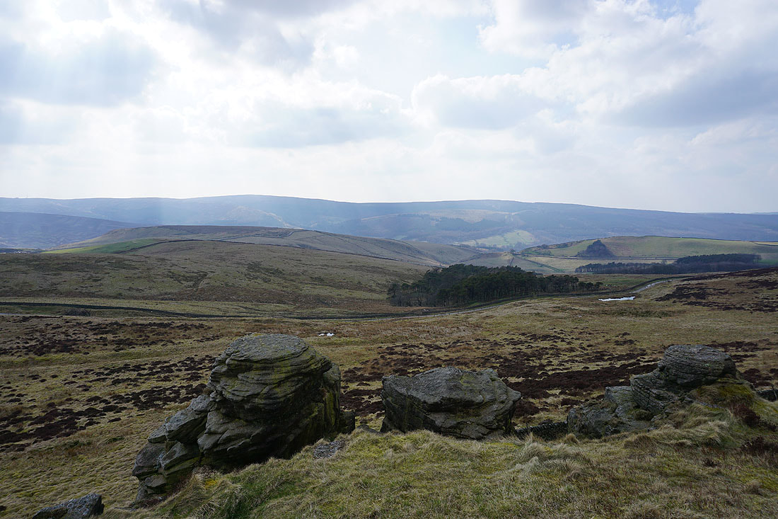
Modest crags as I approach the end of Castle Naze. There were a few climbers on the more substantial ones on the tip.
Looking south along Combs Edge from Castle Naze
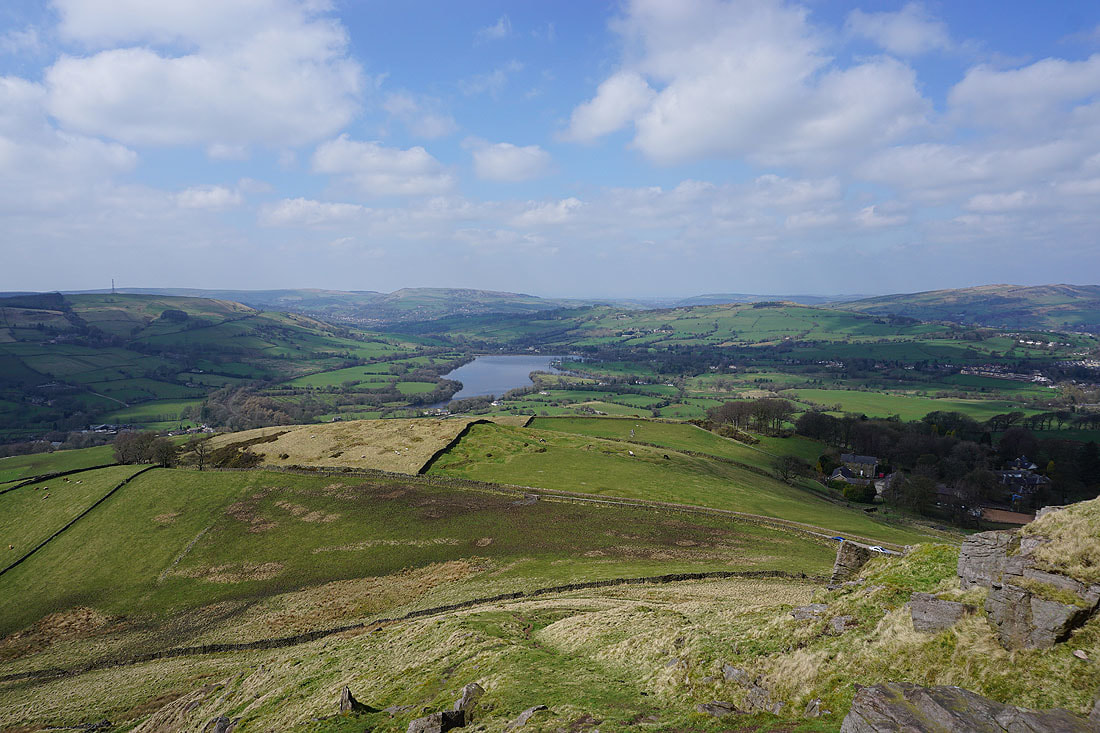
Combs Reservoir and Eccles Pike
Chinley Churn, Kinder Scout and Chapel-en-le-Frith
Whaley Moor, Combs Reservoir and Eccles Pike from Short Edge
Heading east along Short Edge
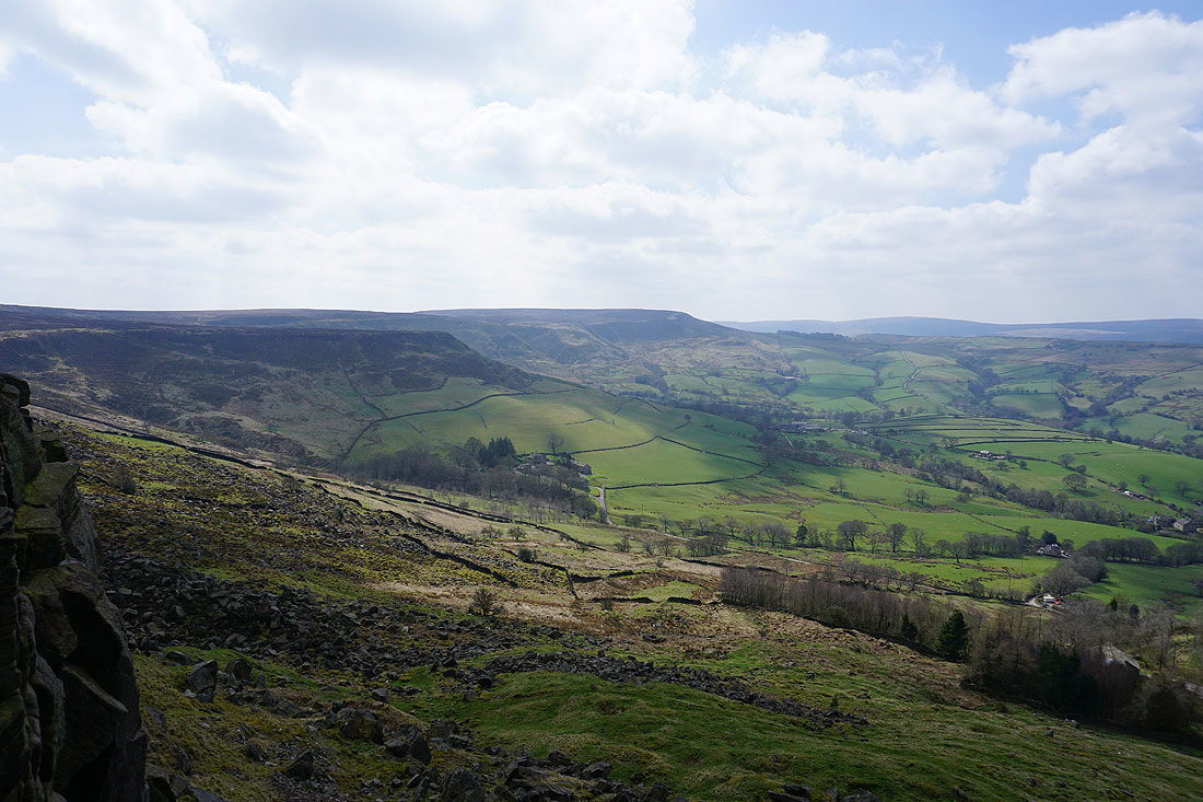
Looking across the moorland of Combs Moss to the southern end of Combs Edge with Shining Tor in the distance
Kinder Scout from Hob Tor
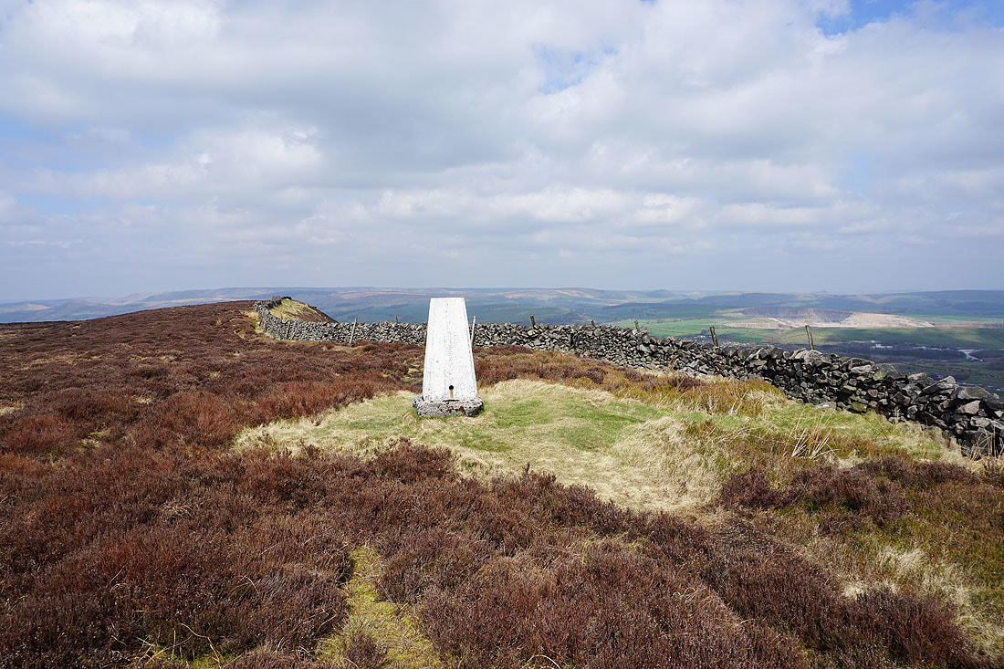
At the trig point on Black Edge
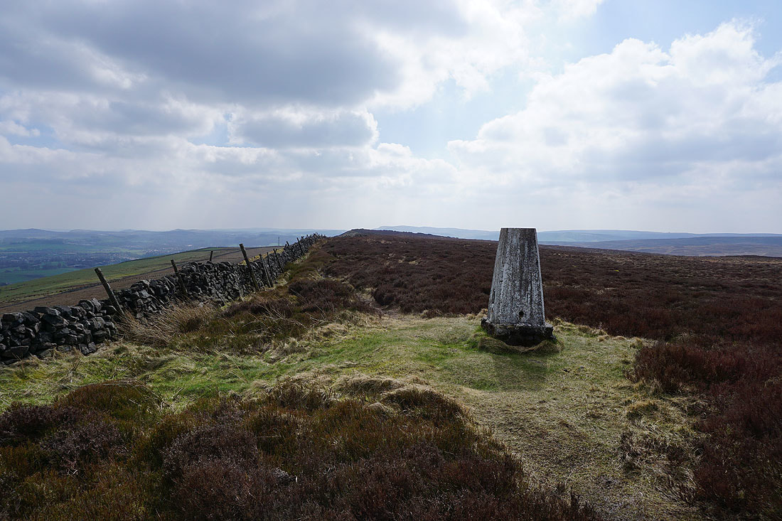
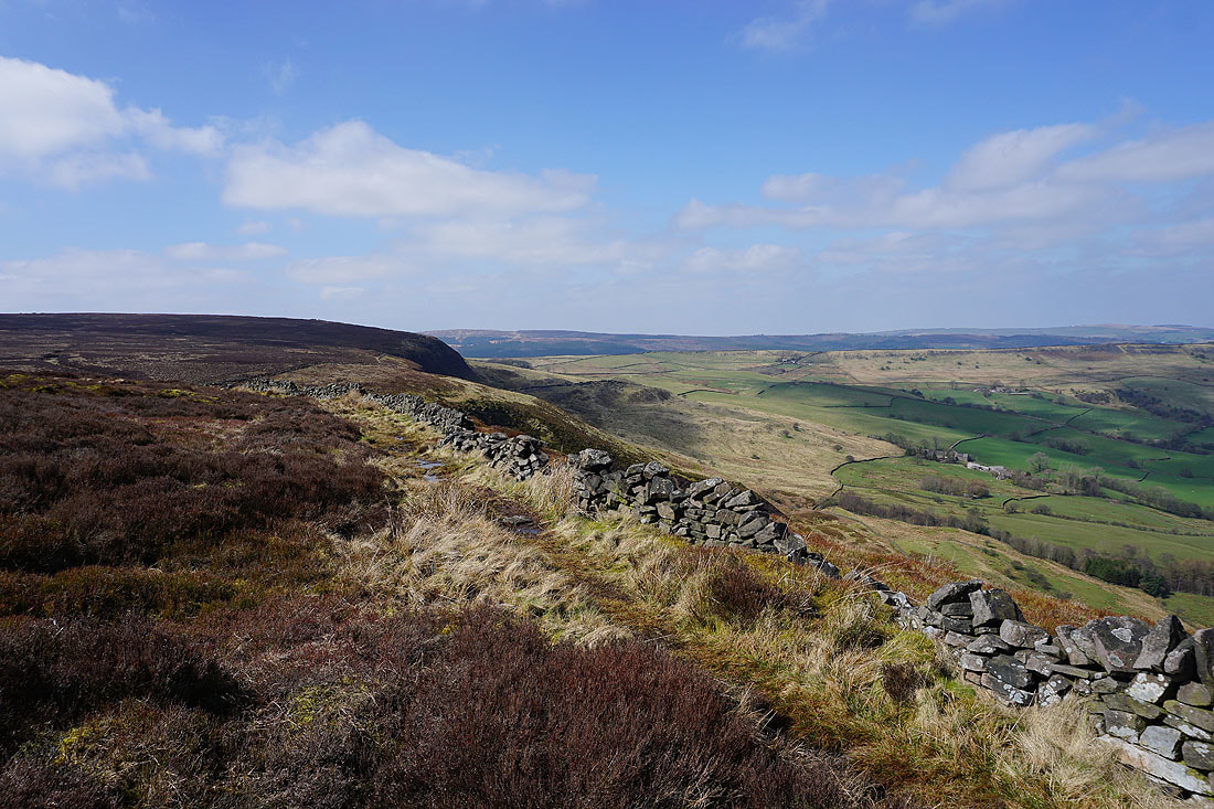
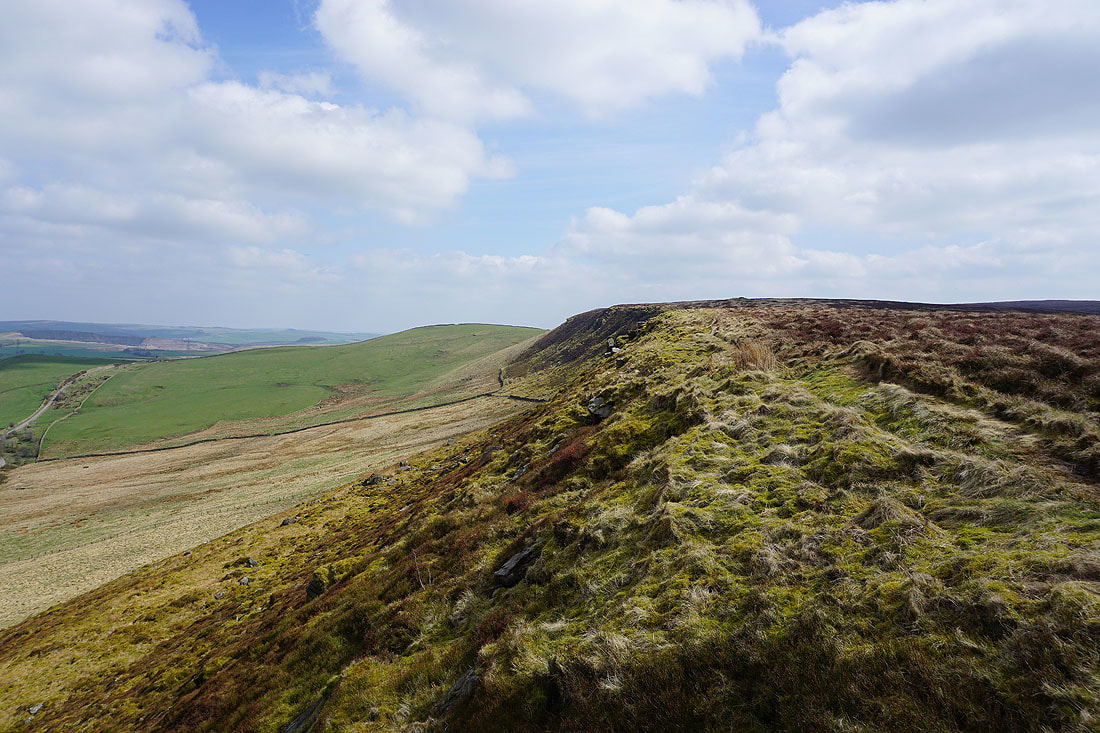
Looking south along Black Edge
and back north as I continue the walk around Combs Moss
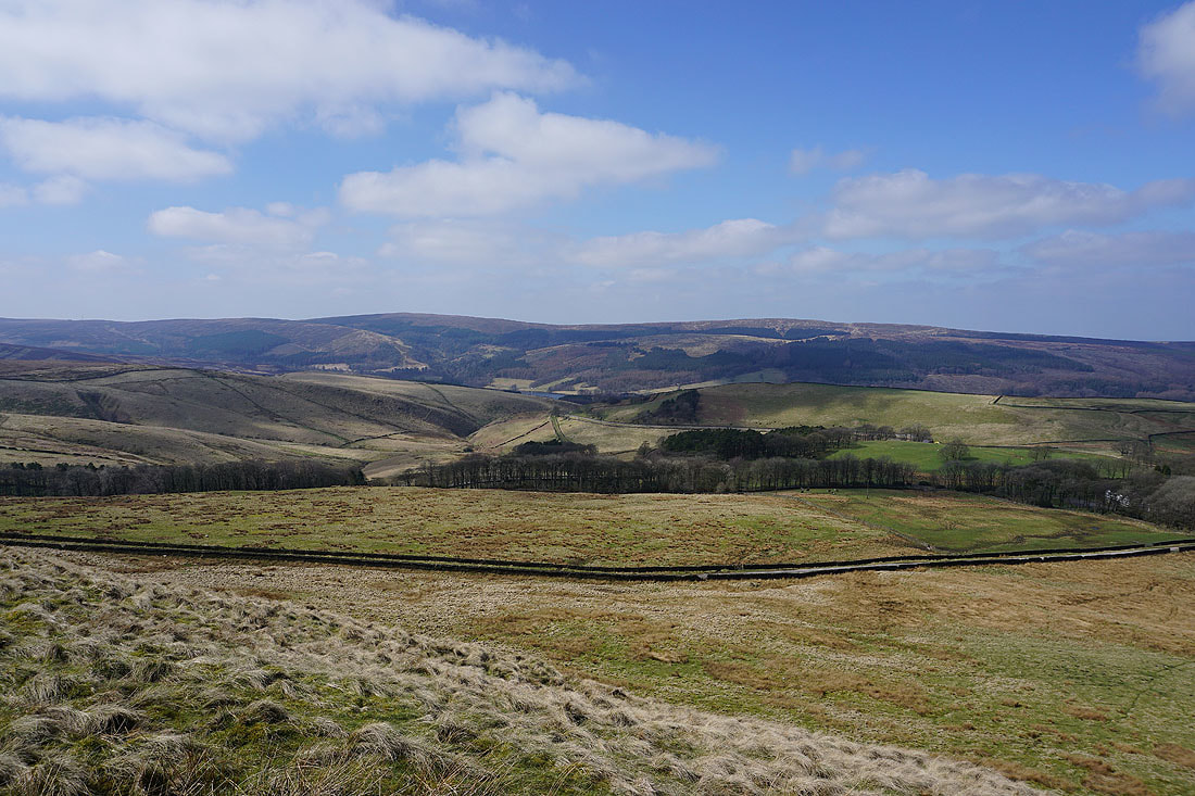
Looking across Combs Moss to Whaley Moor, Eccles Pike and Chinley Churn
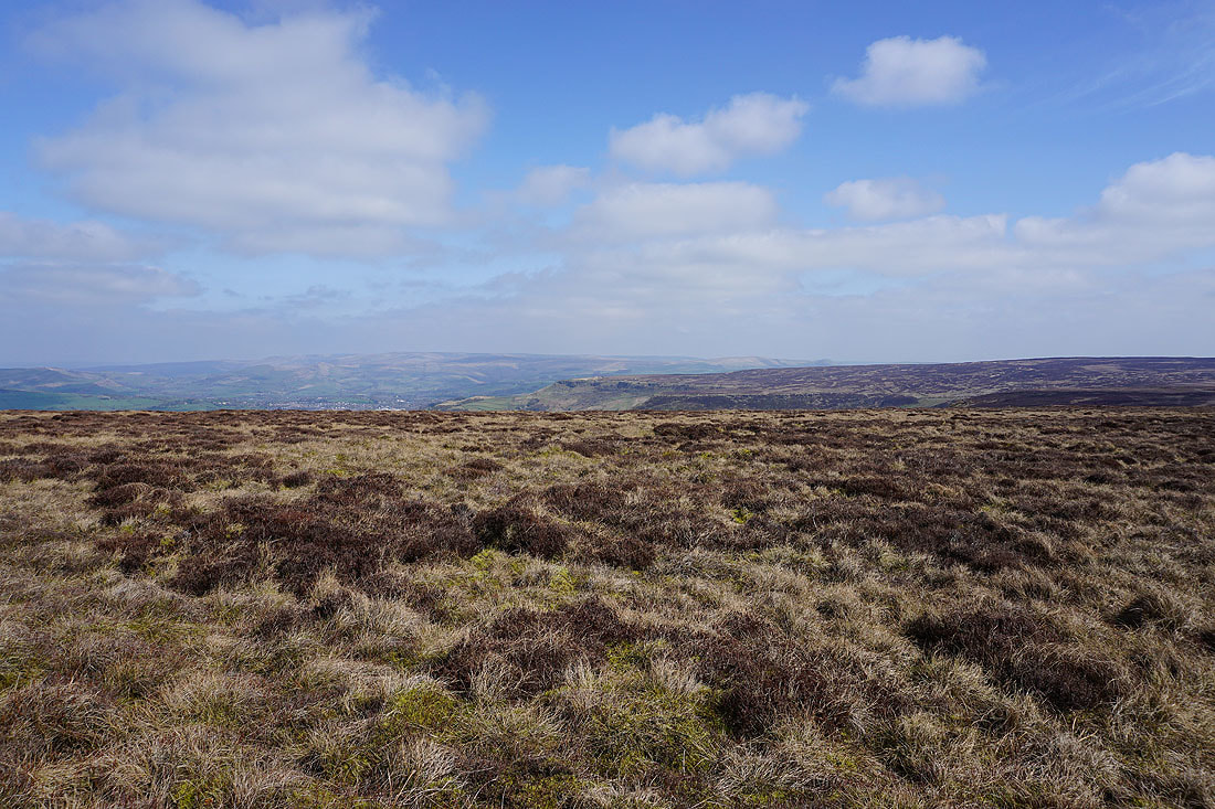
Axe Edge Moor in the distance as I continue south along Black Edge
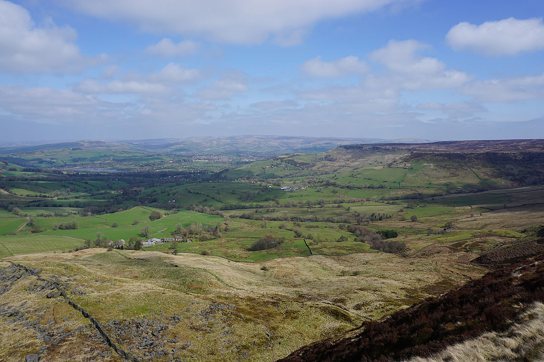
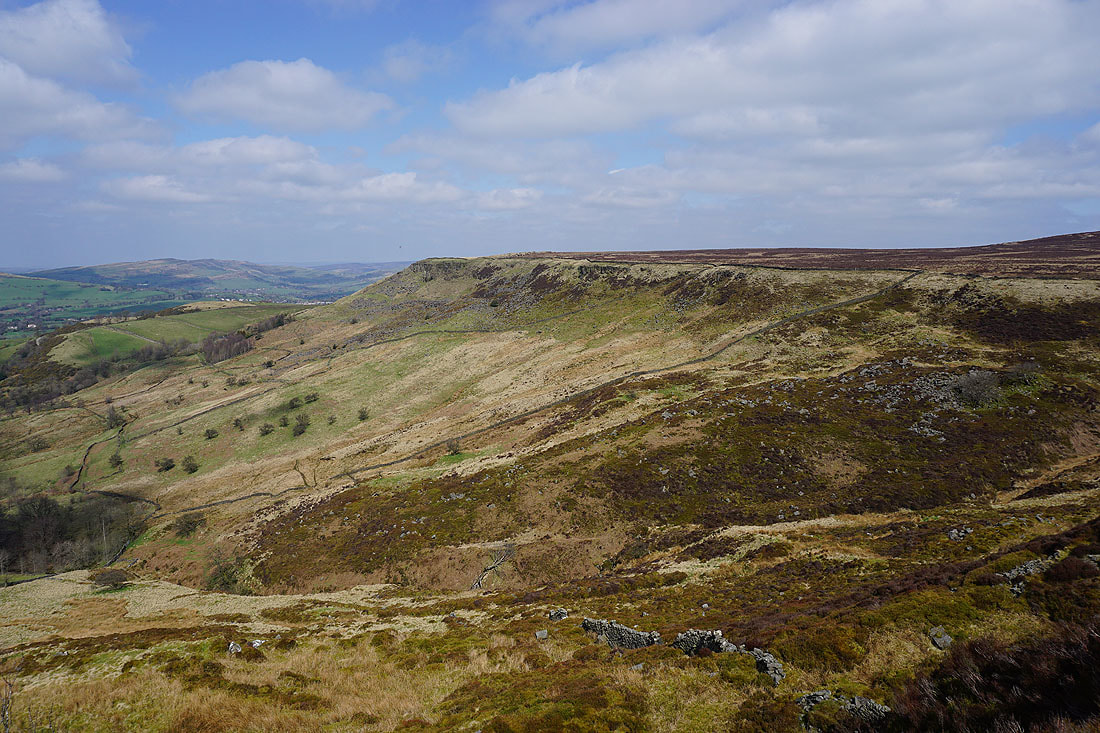
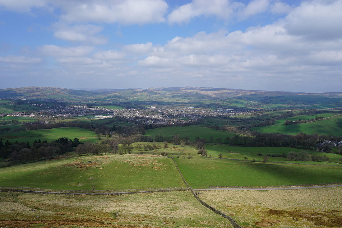
Buxton in the distance as I make my way around Flint Clough
Looking back north from the southern end of Combs Moss
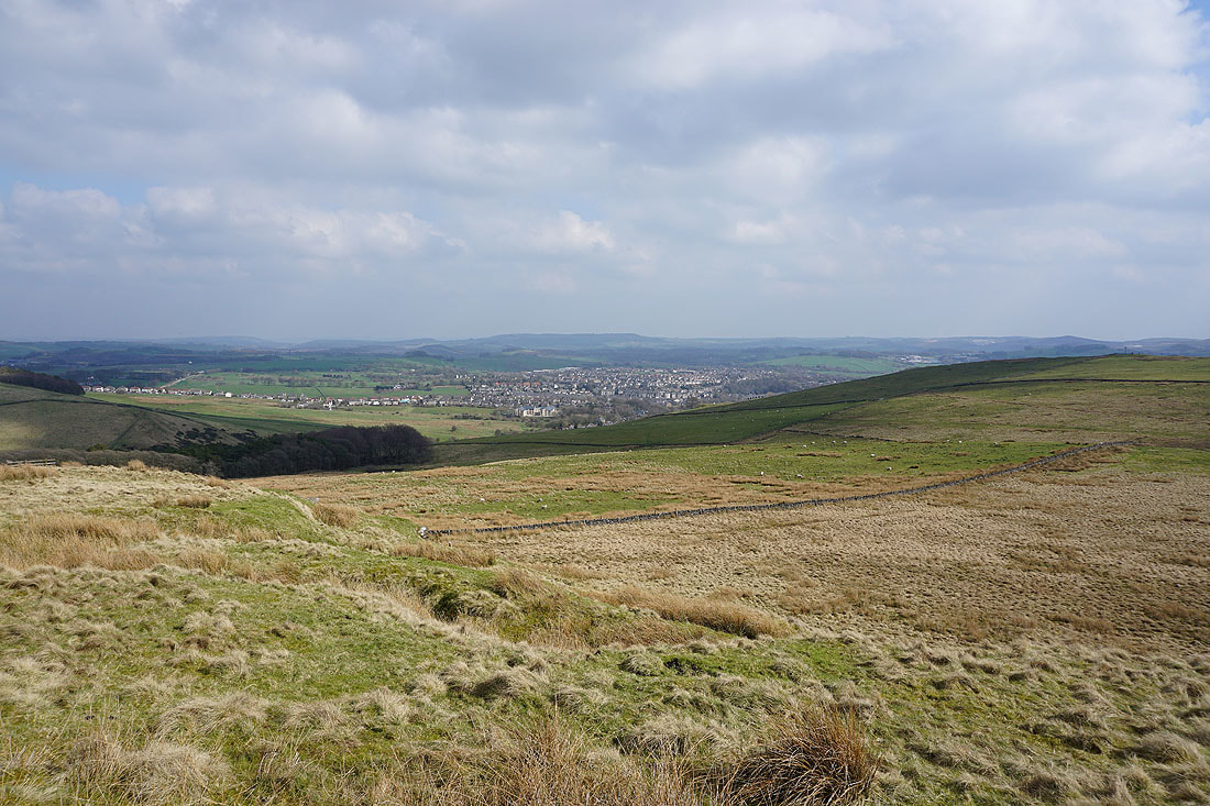
The town of Buxton below
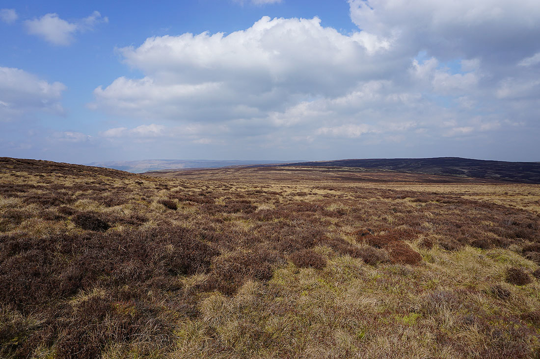
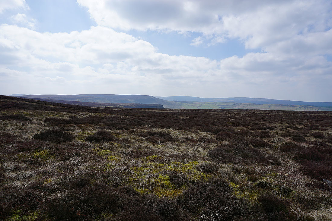
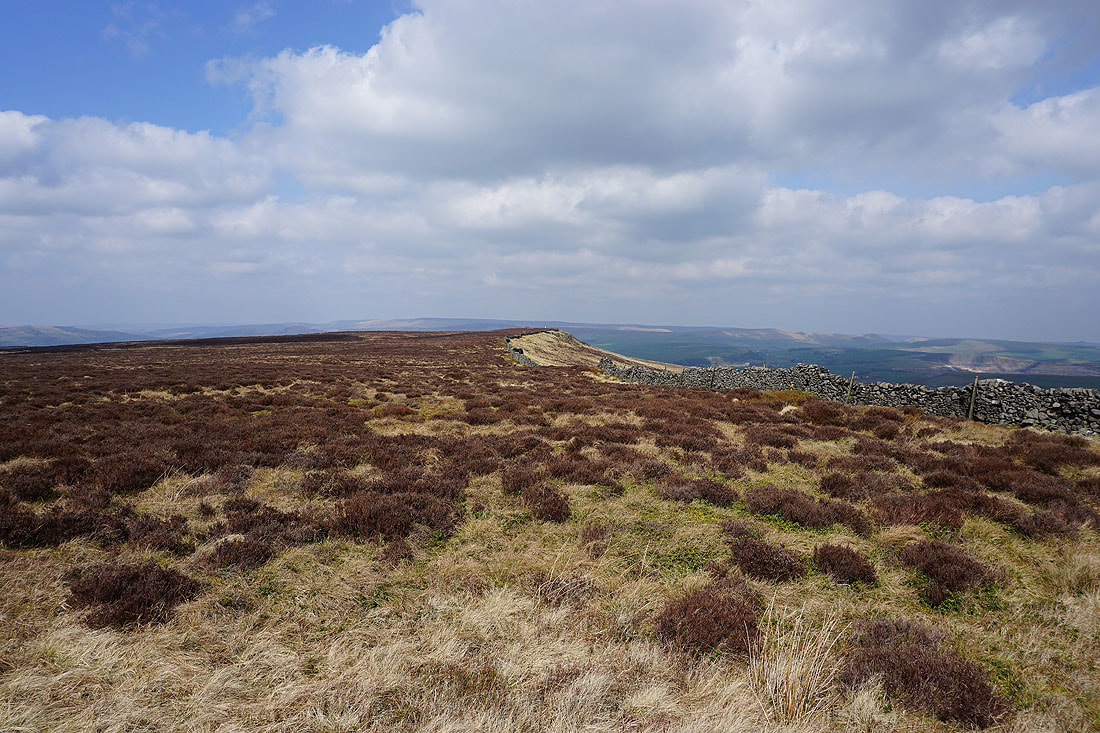
The boggy expanse of Combs Moss
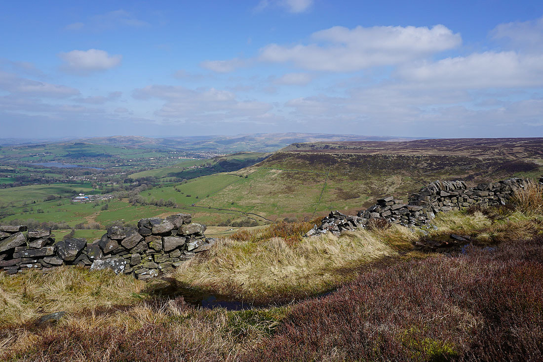
The circuit of Combs Moss is nearly complete. The byway I left earlier in the day is just below with Shining Tor and Cats Tor in the distance.
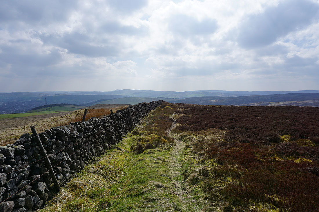
On the bridleway back to the A5004. A last look back to Combs Edge.
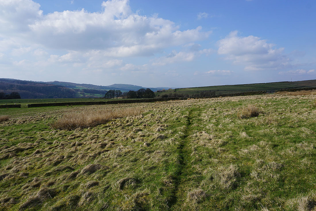
On the field path back to the layby on the A5004