14th August 2011 - A Bleasdale Round
Walk Details
Distance walked: 12.4 miles
Total ascent: 1942 ft
OS map used: OL41 - Forest of Bowland & Ribblesdale
Time taken: 6 hrs
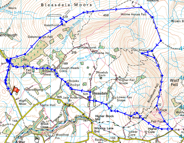
Route description: Delph Lane-Stang Yule-Oakenclough Fell-Hazlehurst Fell-Fiendsdale Head-Fair Snape Fell-Parlick-Fell Foot-Blindhurst Farm-Bleasdale-Bleasdale Tower-Stang Yule-Delph Lane
I parked in the Delph Quarry car park on Delph Lane. I then walked up Delph Lane to Stang Yule to gain access the open fell. I used a shooting track to make my way up Oakenclough and Hazlehurst Fells with a visit to the trig point on Hazlehurst Fell. From Hazlehurst Fell I headed to Fair Snape Fell and then Parlick. I then made my way down Parlick and back to my starting point by using footpaths across fields and farm tracks.
Route map
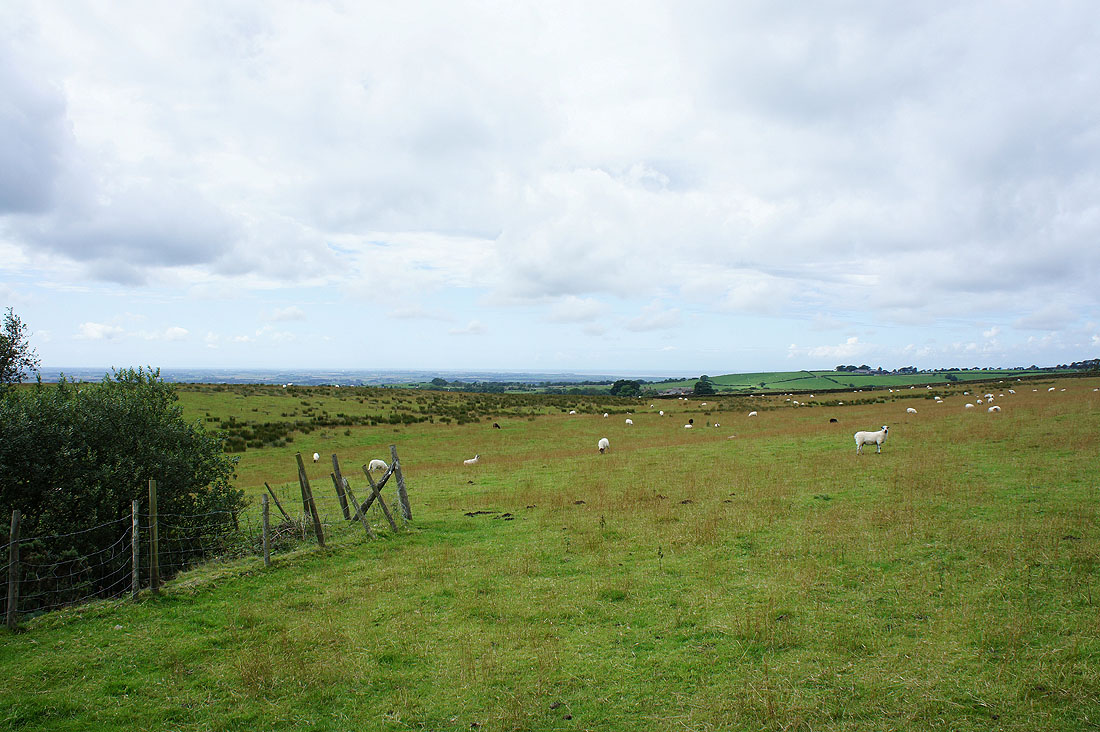
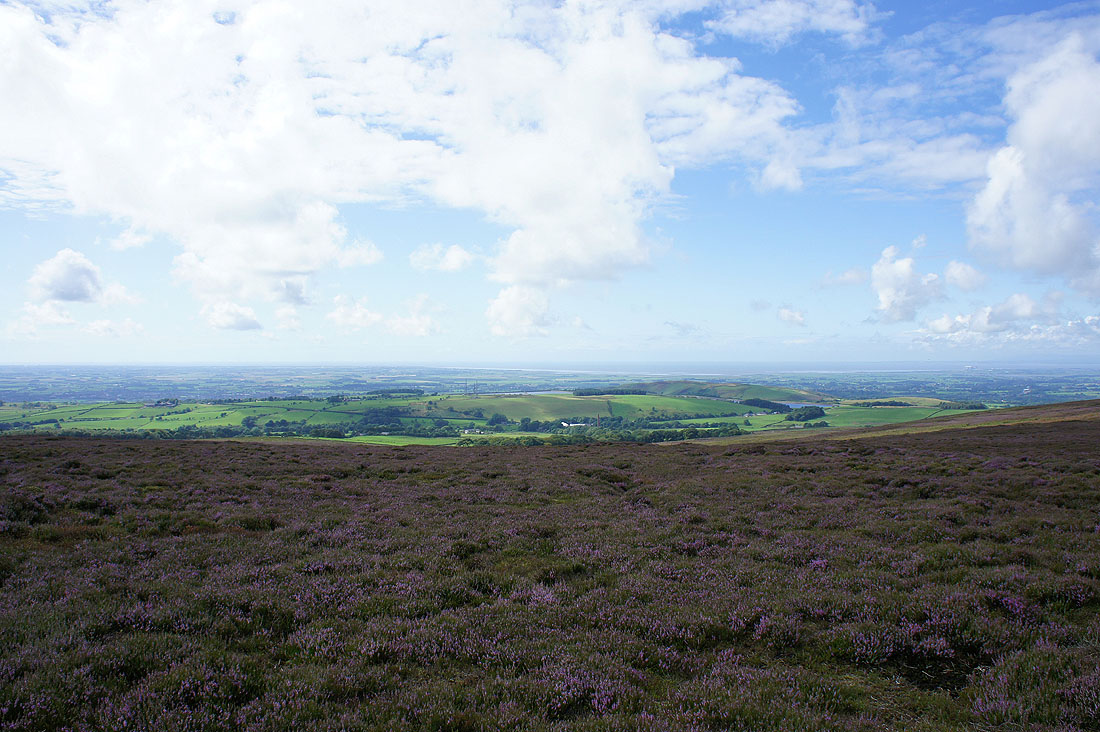
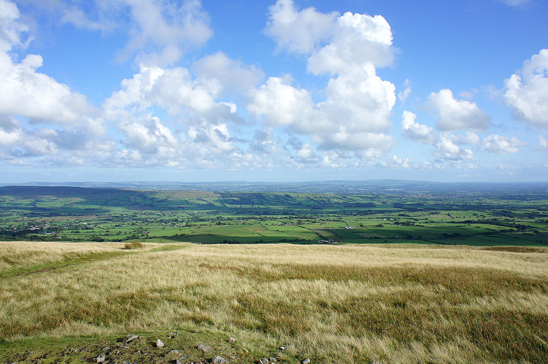
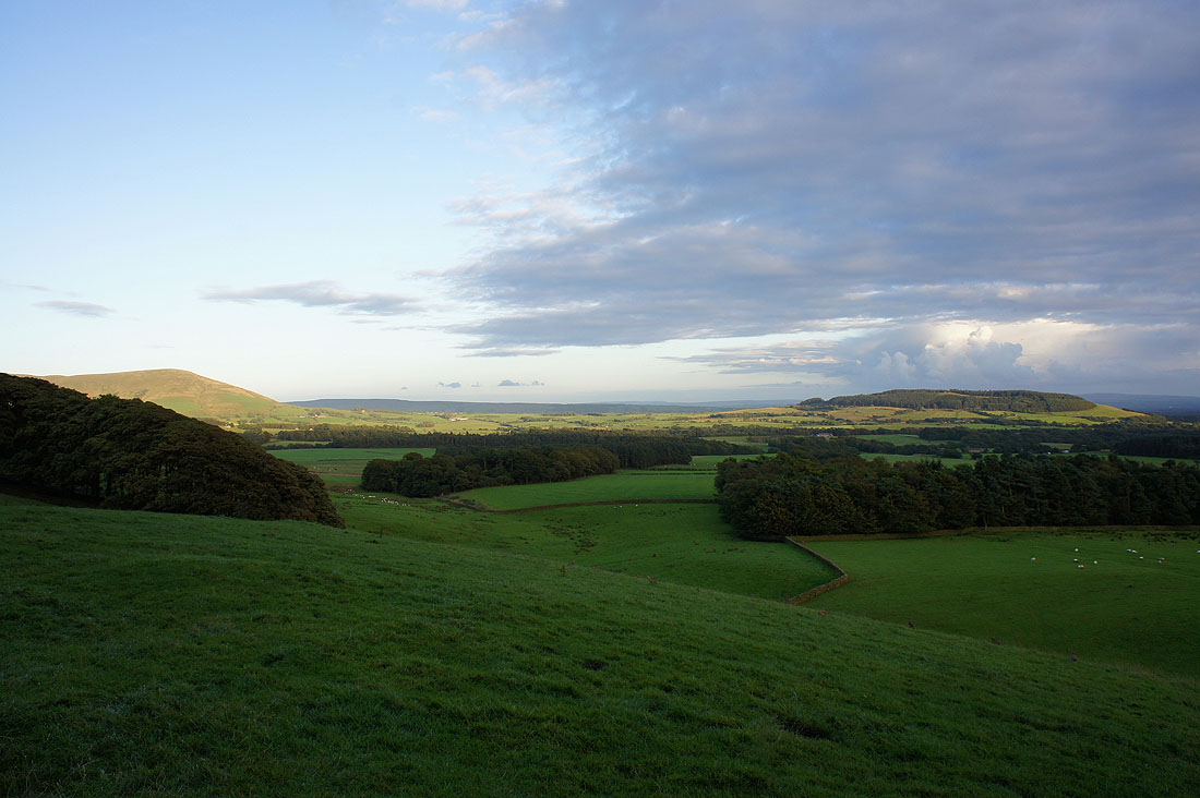
A photo of the view towards the coast from the car park on Delph Lane before I set off
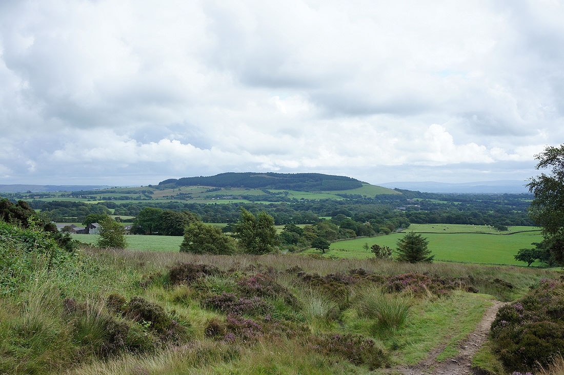
Beacon Fell
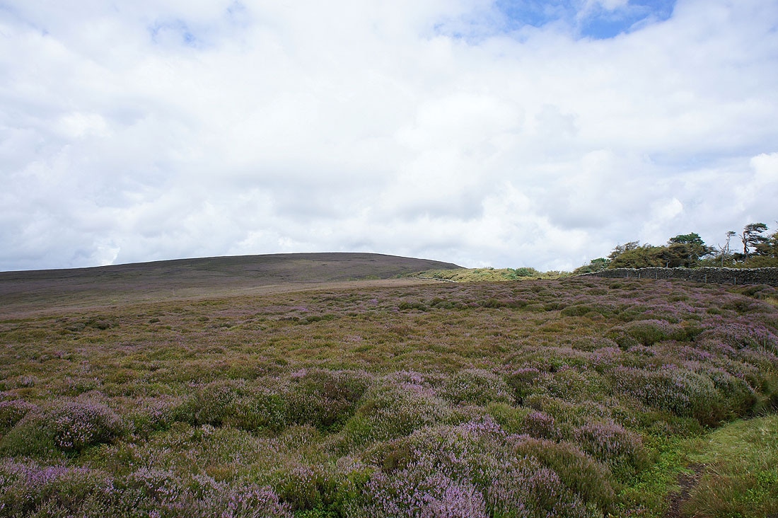
Heading up Oakenclough Fell
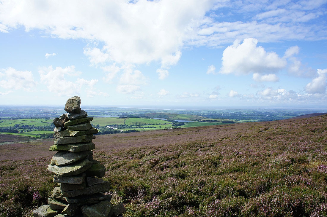
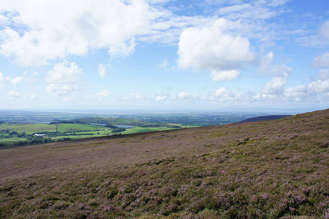
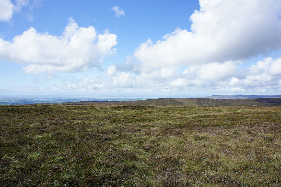
The view back towards the coast
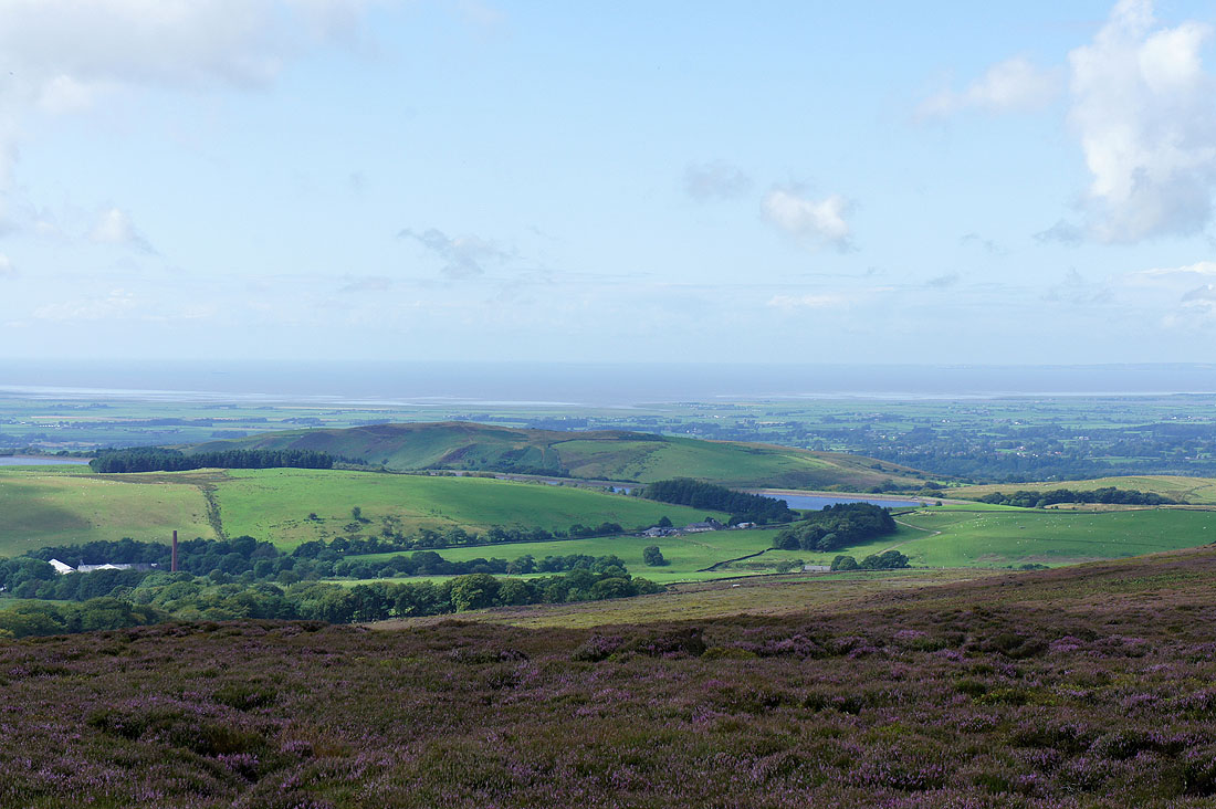
Zooming in on the hill of Nicky Nook
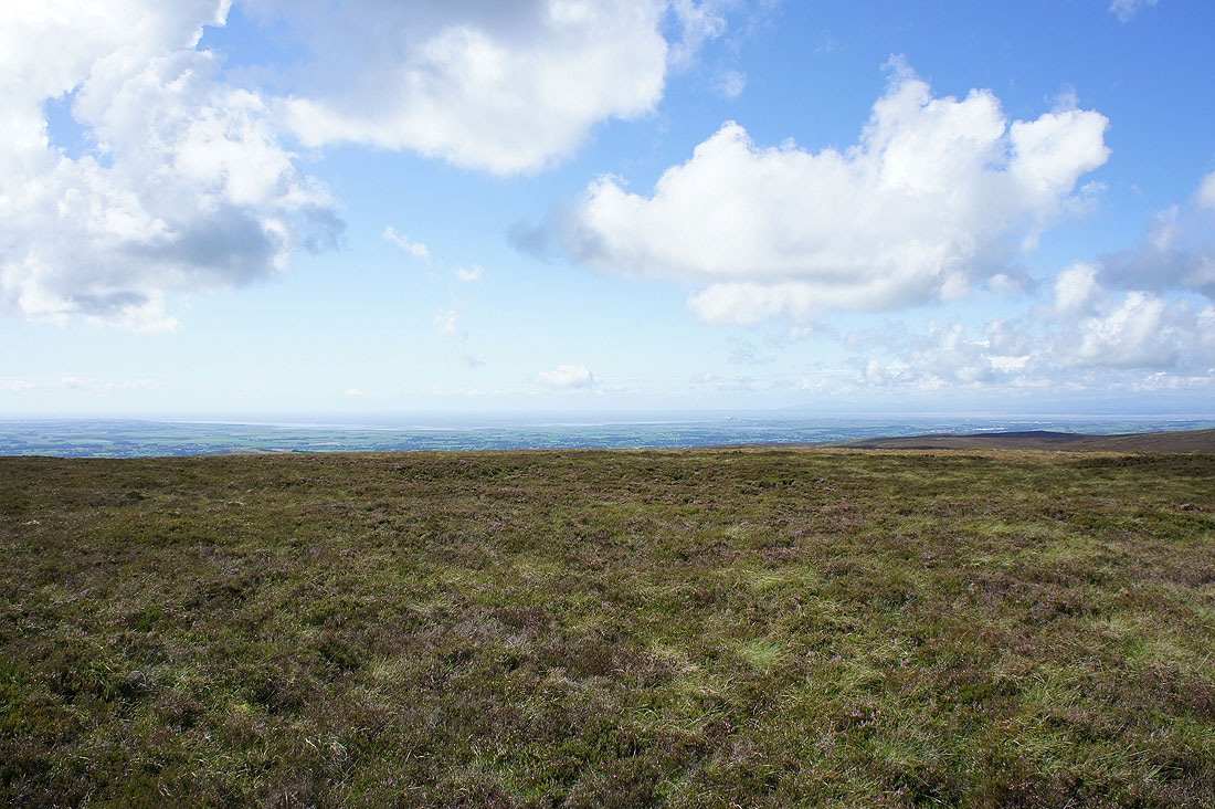
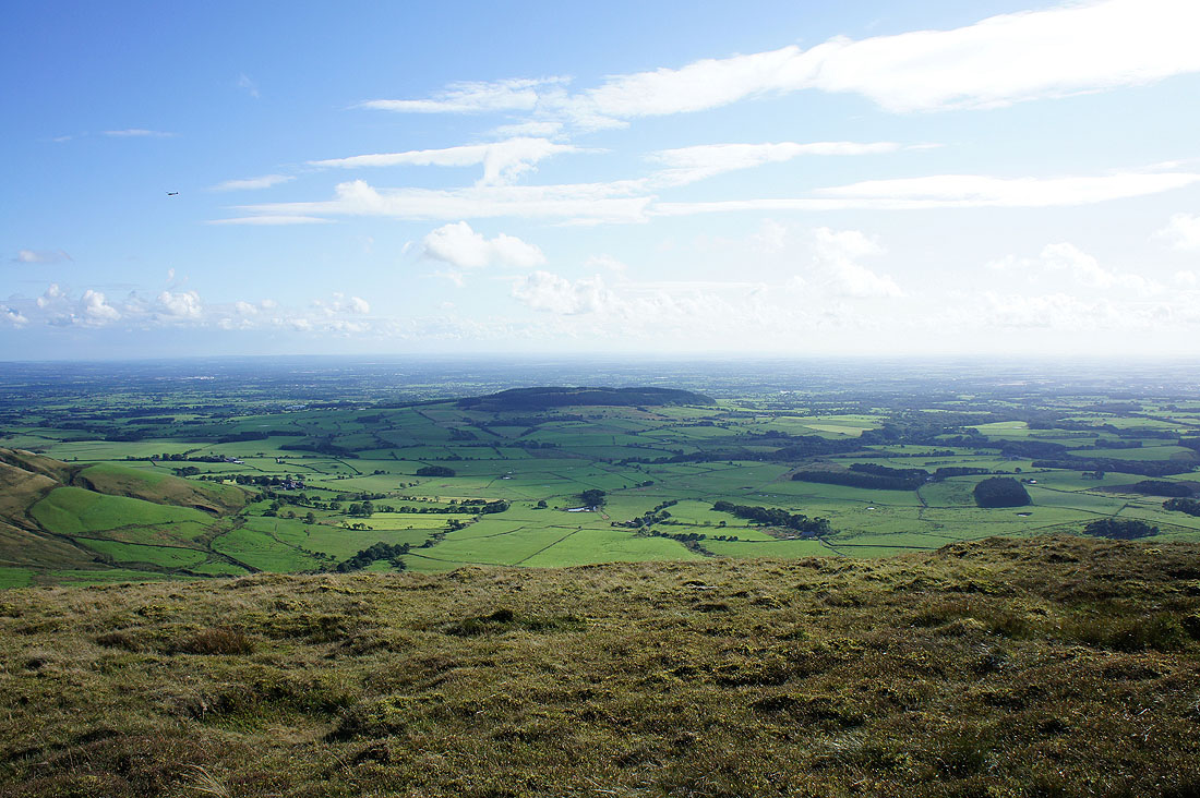
Views out to the Lancashire coast..
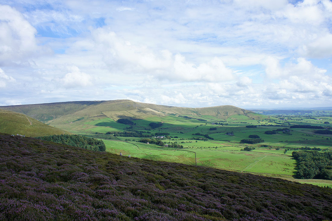
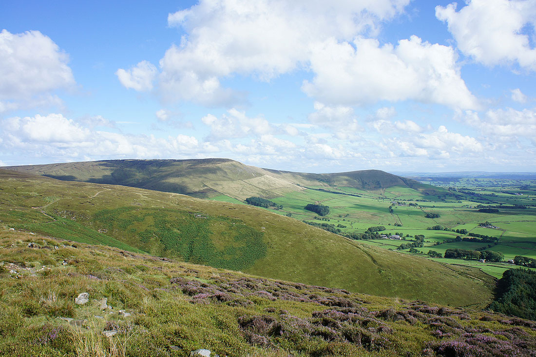
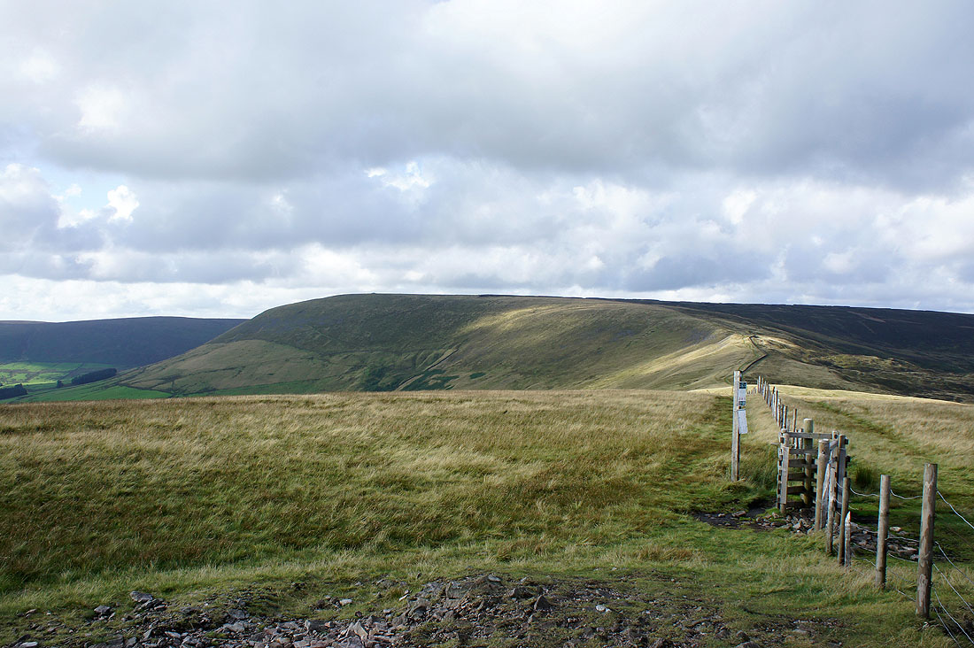
Fair Snape Fell and Parlick
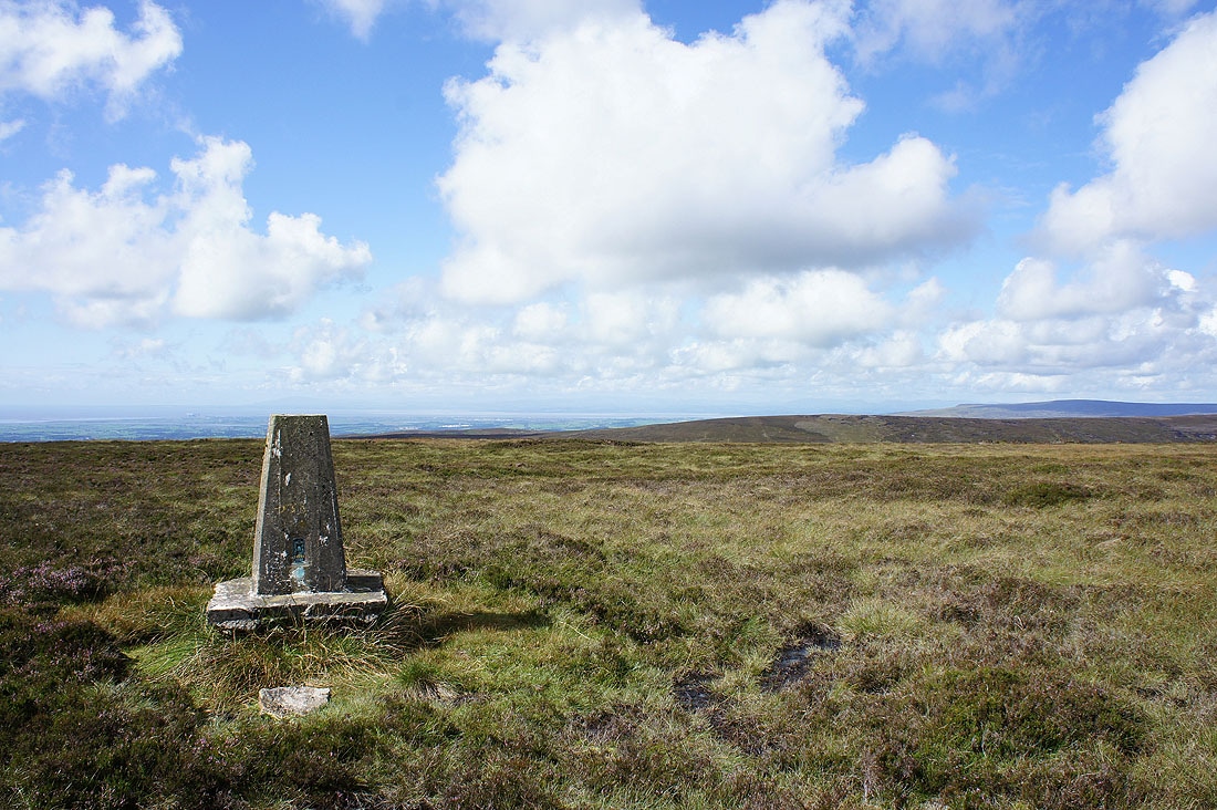
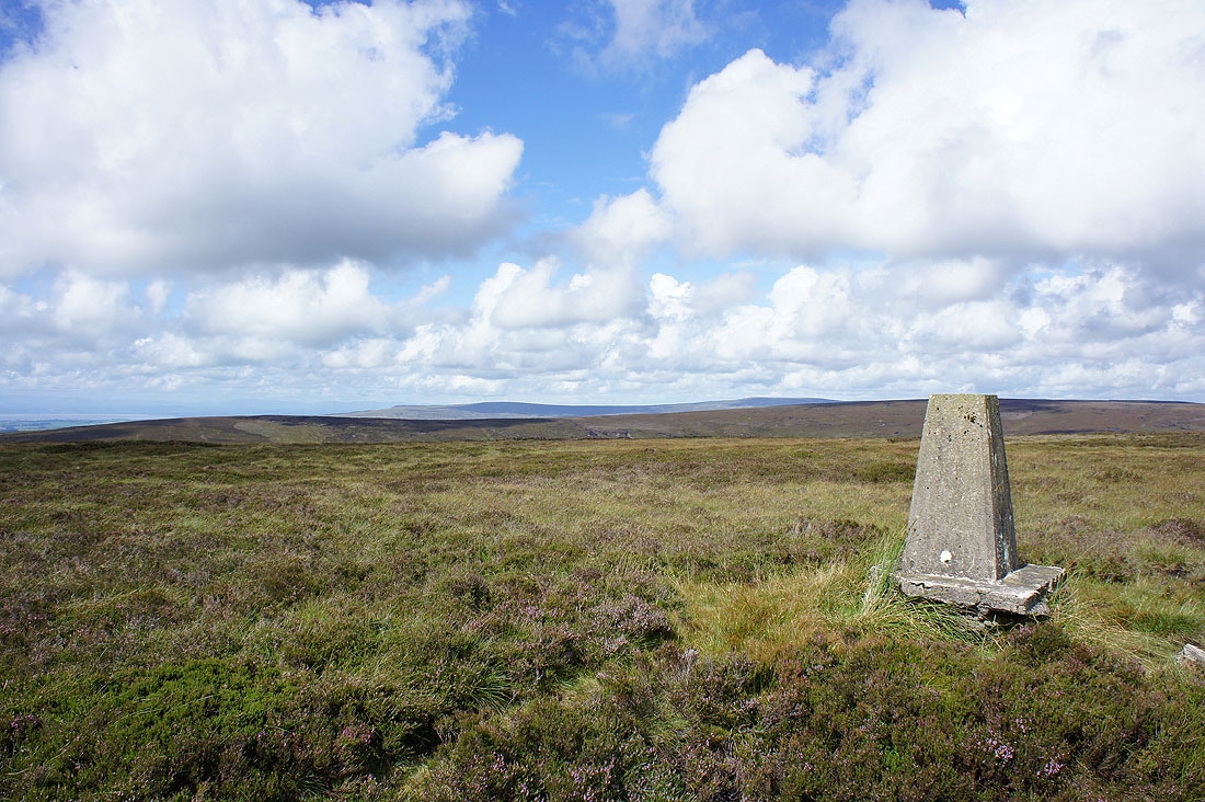
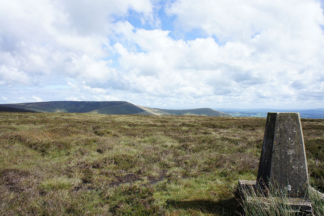
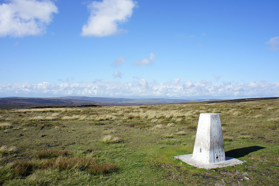
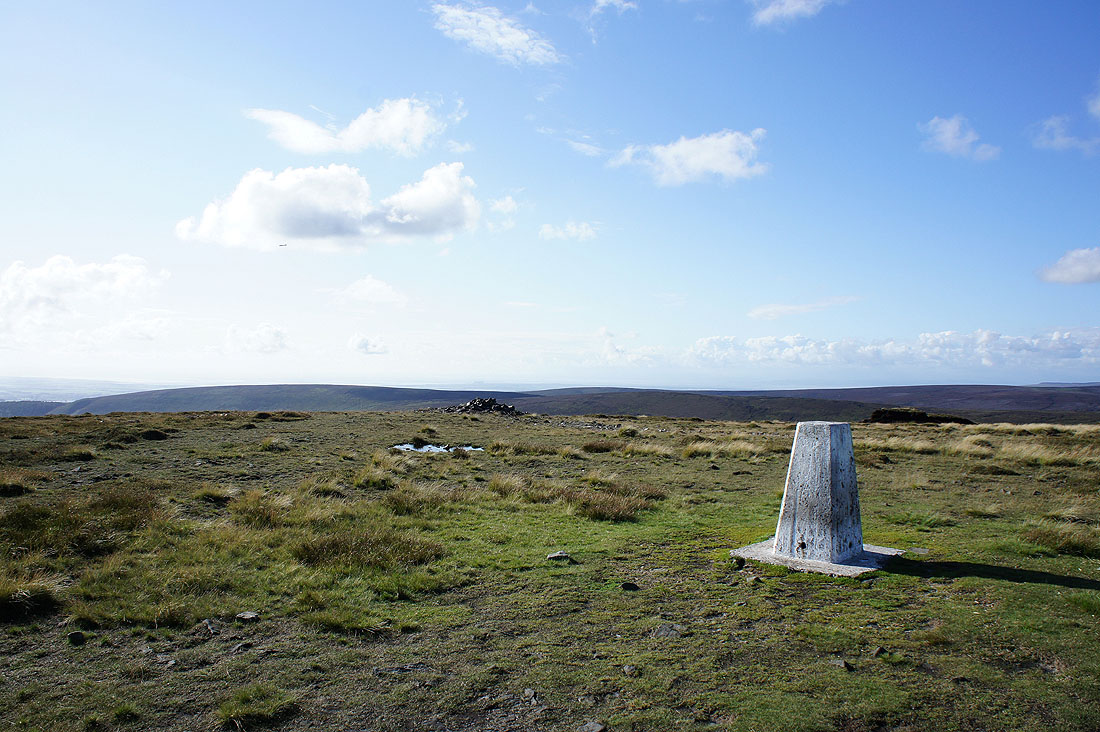
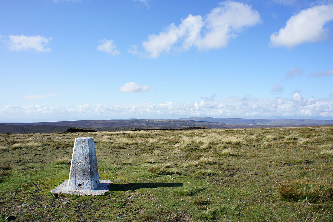
At the trig point on Hazlehurst Fell
In the far distance the sharp dip to the left is Clougha Pike, then to the right Grit Fell and Ward's Stone. In the middle distance is Hawthornthwaite Fell.
Fair Snape Fell and Parlick
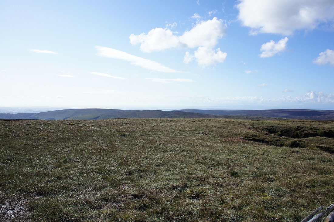
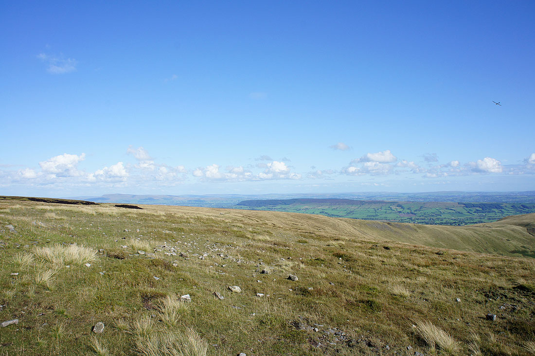
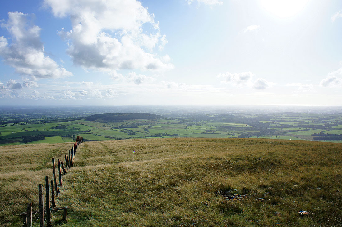
The view towards the coast..
Fair Snape Fell and Parlick
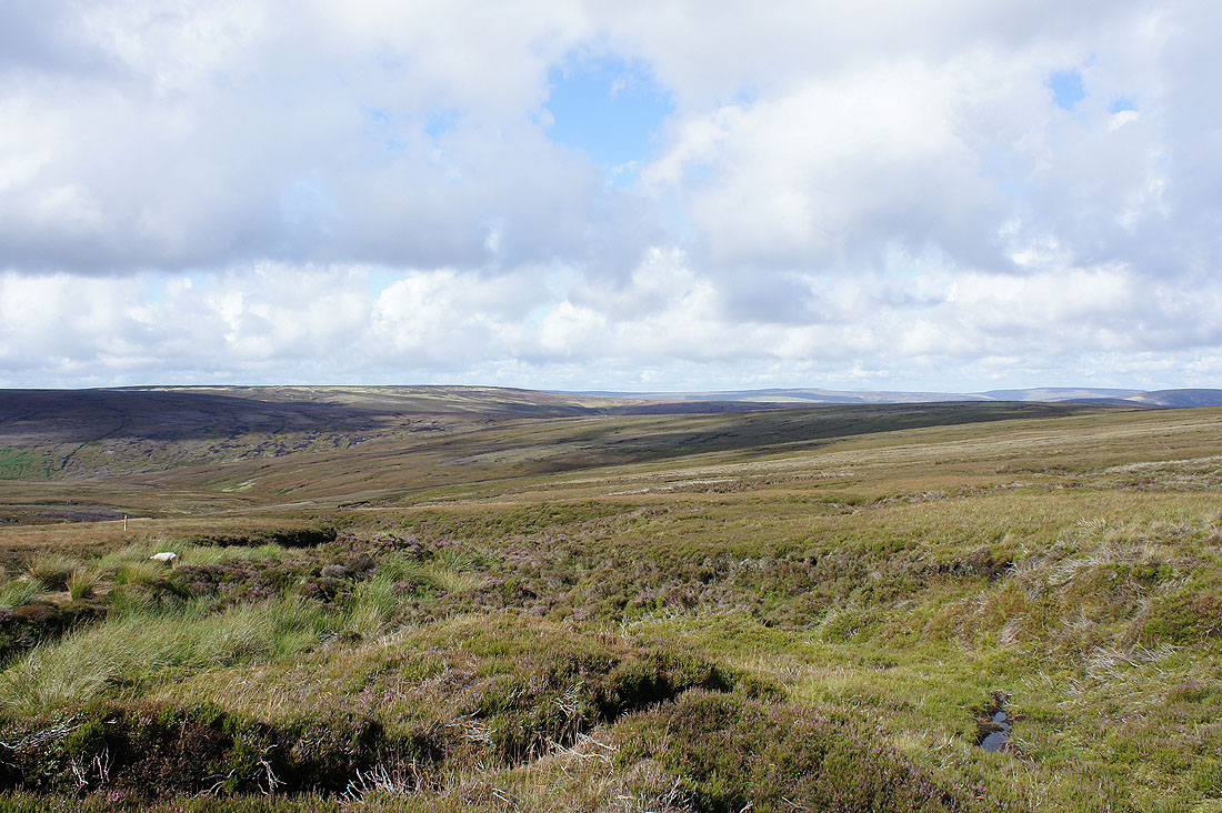
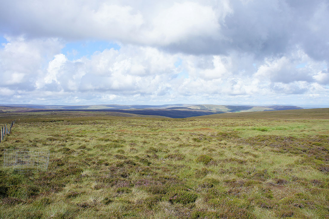
Heathery moors as I head for Fiendsdale Head
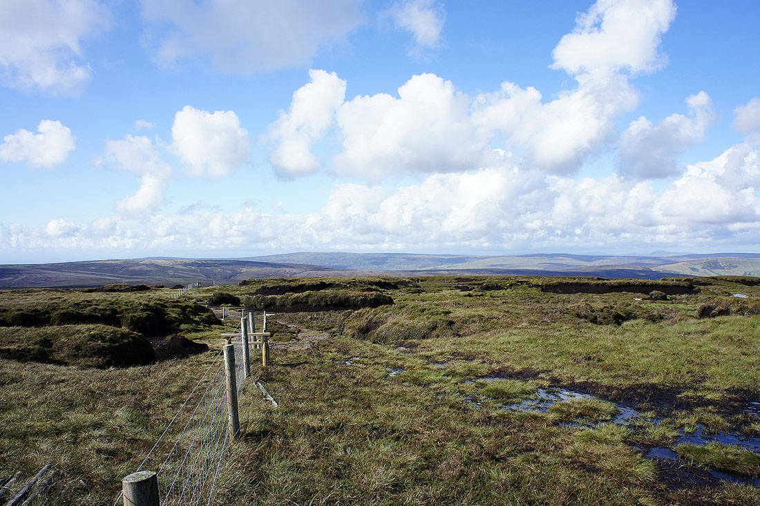
The view north from Fiendsdale Head
On the summit of Fair Snape Fell. Yorkshire's three peaks can just about be made out on the horizon.
Pendle Hill in the distance
Ward's Stone in the distance
Hazlehurst Fell and Hawthornthwaite Fell
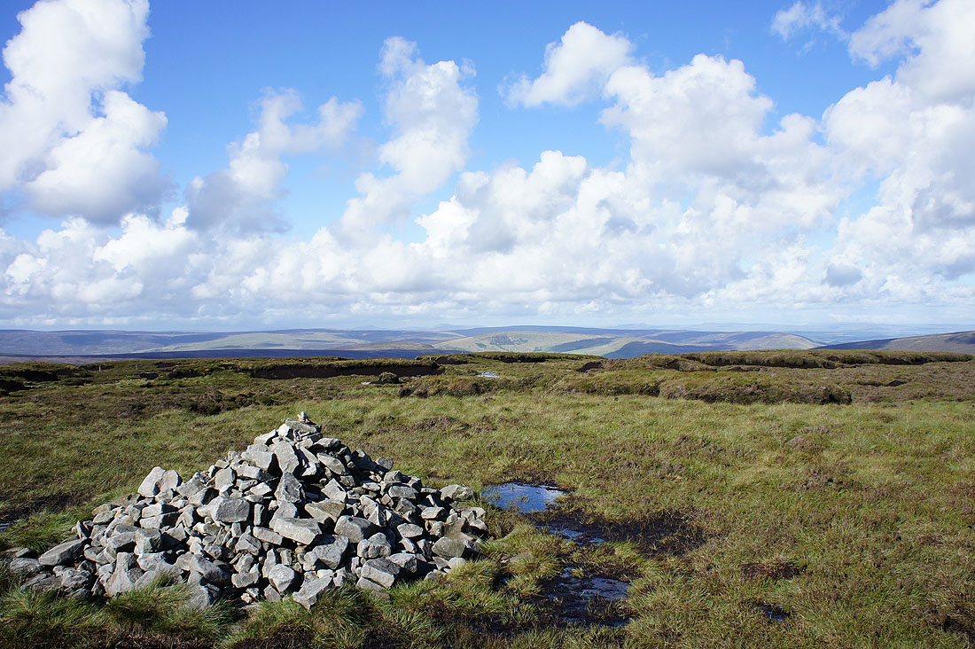
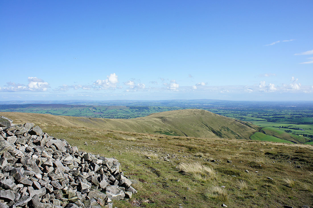
Parlick from the cairn called Paddy's Pole on the OS map
Beacon Fell
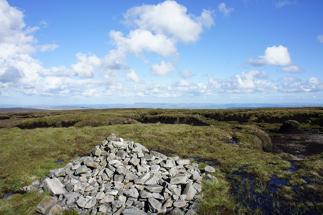
Views from the trig point on Fair Snape Fell...
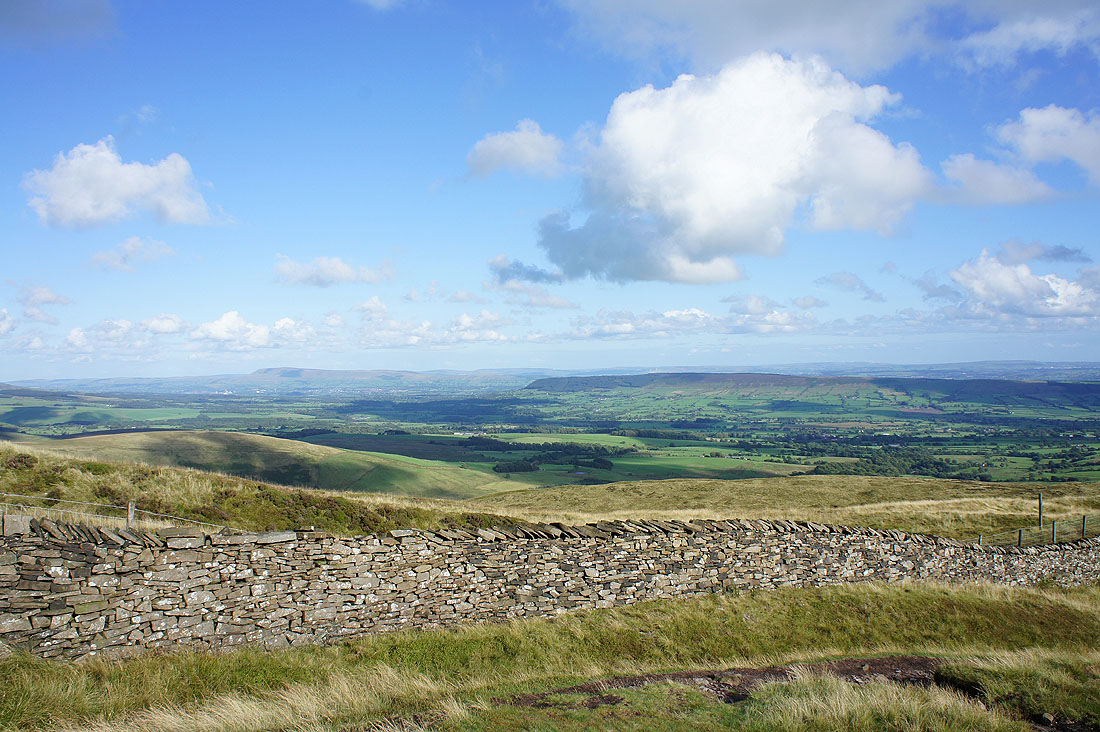
Pendle Hill and Longridge Fell
Longridge Fell and Parlick
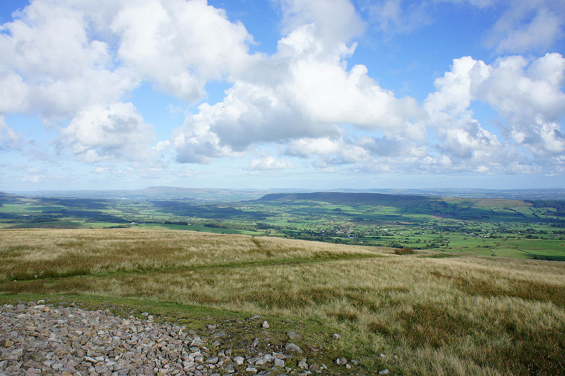
Pendle Hill and Longridge Fell as I head to Parlick
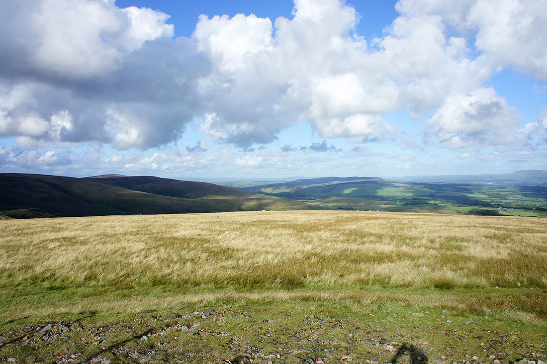
Pendle Hill and Longridge Fell from Parlick
Looking east to Easington Fell
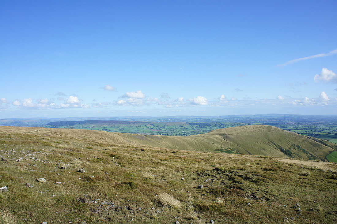
Looking south to the distant West Pennine Moors
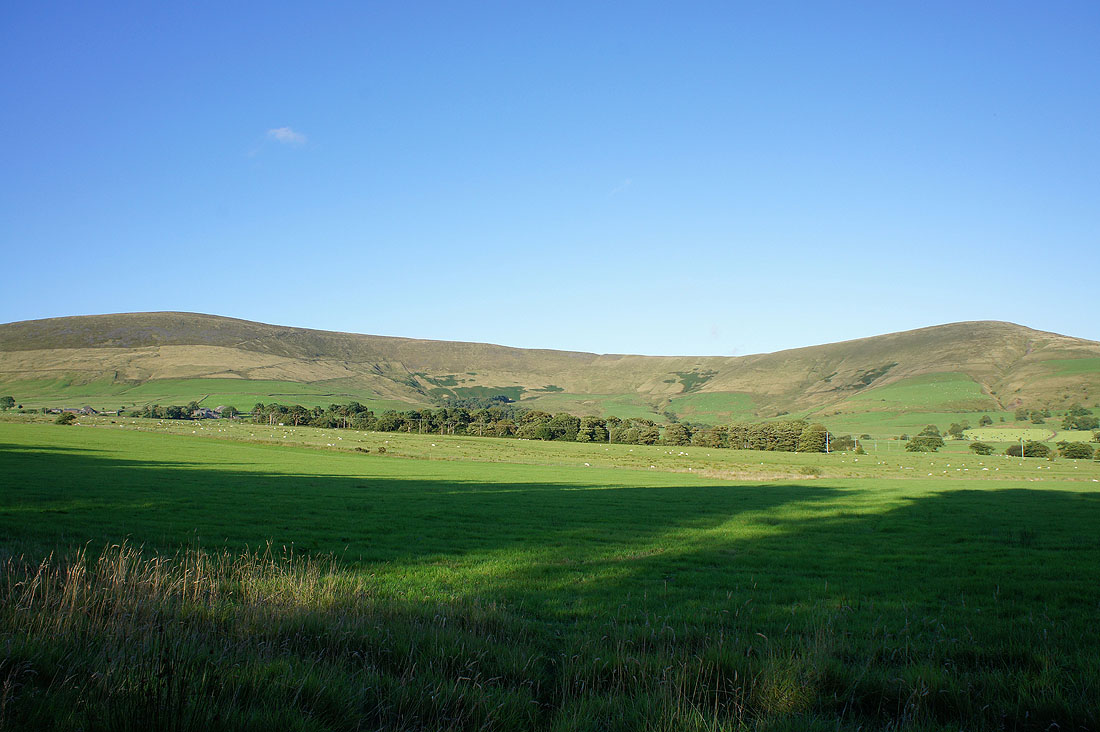
Fair Snape Fell
Beacon Fell
Fair Snape Fell and Parlick as I head across the fields
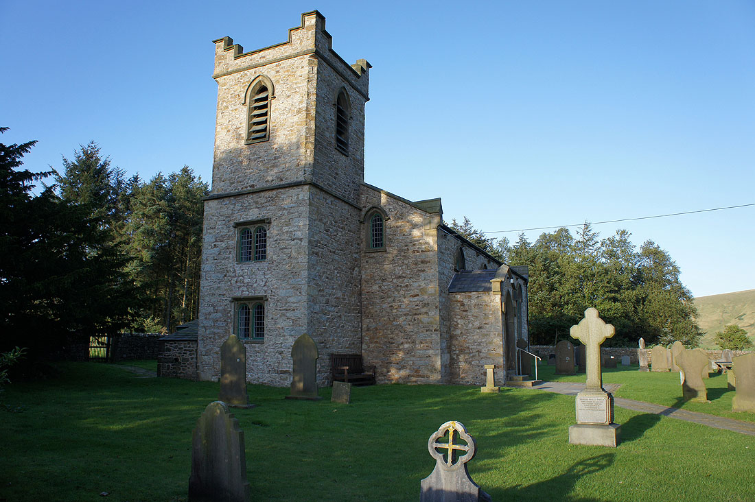
St. Eadmer's church, Bleasdale
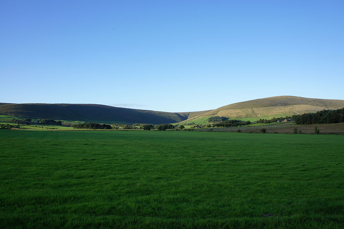
Hazlehurst Fell and Fair Snape Fell
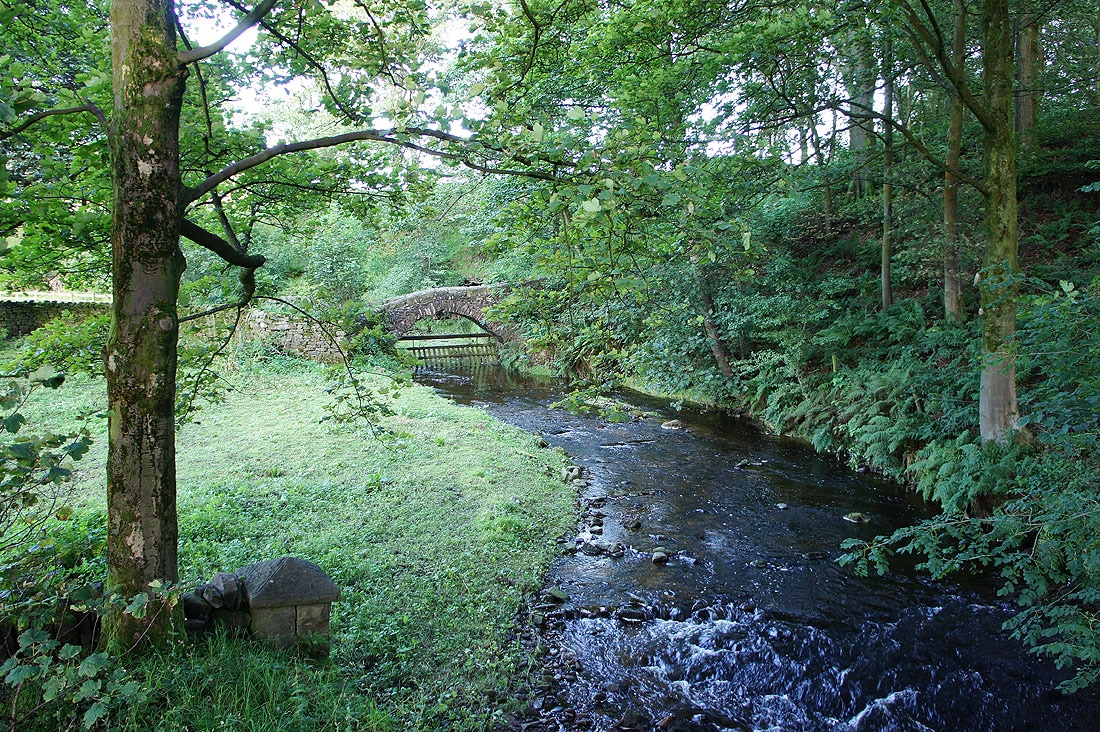
The packhorse bridge over the River Brock
Beacon Fell
Parlick and Beacon Fell
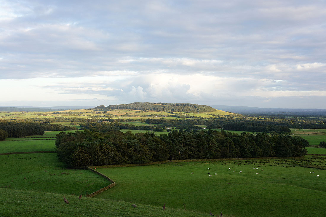
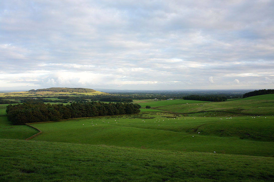
The countryside around Beacon Fell
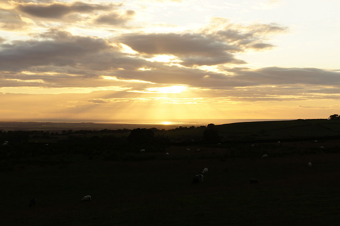
Sunset on the Irish sea
