14th January 2012 - White Fell Head & The Calf
Walk Details
Distance walked: 10.0 miles
Total ascent: 2814 ft
OS map used: OL19 - Howgill Fells & Upper Eden Valley
Time taken: 6 hrs
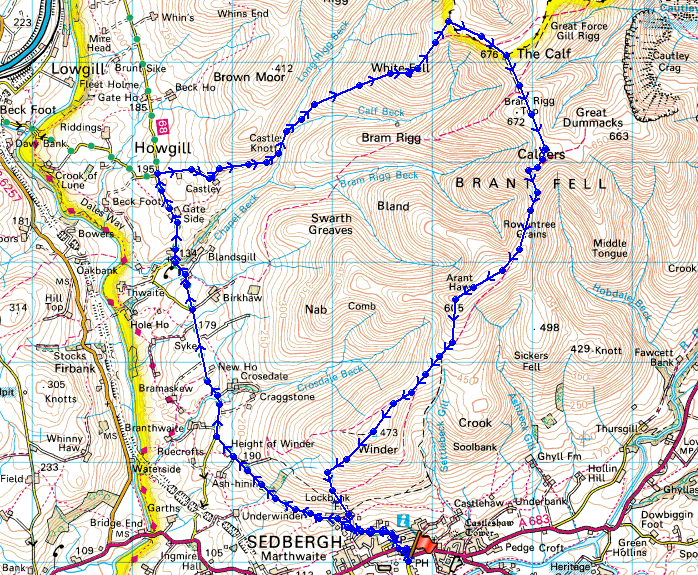
Route description: Sedbergh-Howgill Lane-Four Lane Ends-Cookson's Tenement-Castley-Chapel Beck-White Fell-White Fell Head-The Calf-Calders-Arant Haw-Winder-Lockbank Farm-Sedbergh
The most obvious and popular route of ascent of The Calf from Sedbergh is the bridleway that heads up the side of Winder and past Arant Haw to The Calf. I don't like covering the same ground twice in a walk if I can help it, so to find a different route of ascent I've used Howgill Lane on a couple of occasions now to gain access to one of the ridges on the western flank of the Howgills. Howgill Lane runs along the route of a former Roman Road for several miles as it heads north to become Fairmile Road before eventually reaching the A685 at Low Borrow Bridge and the site of a former Roman fort. So after setting out from Sedbergh I walked along Howgill Lane until I reached the crossroads at Four Lane Ends. Here I turned right and took the bridleway that goes past Cookson's Tenement and Castley. The path then fords Chapel Beck before climbing White Fell upto White Fell Head. The Calf is then just a short distance away. After having my lunch I then set off for Sedbergh visiting the summits of Calders, Arant Haw and Winder along the way.
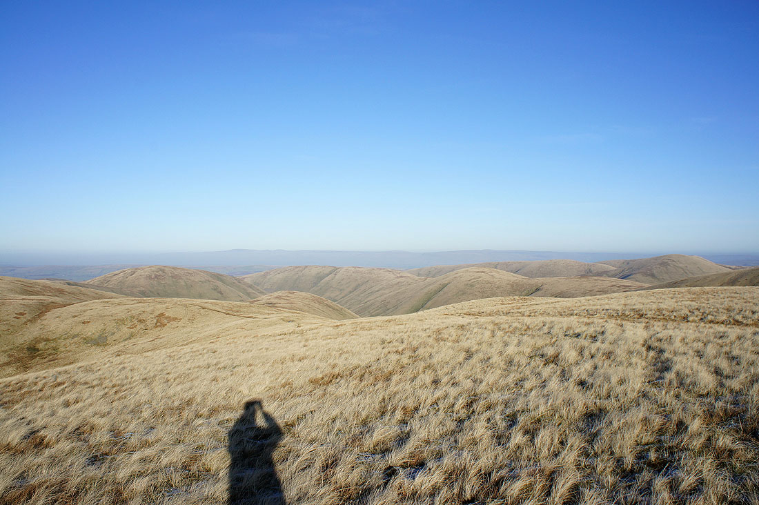
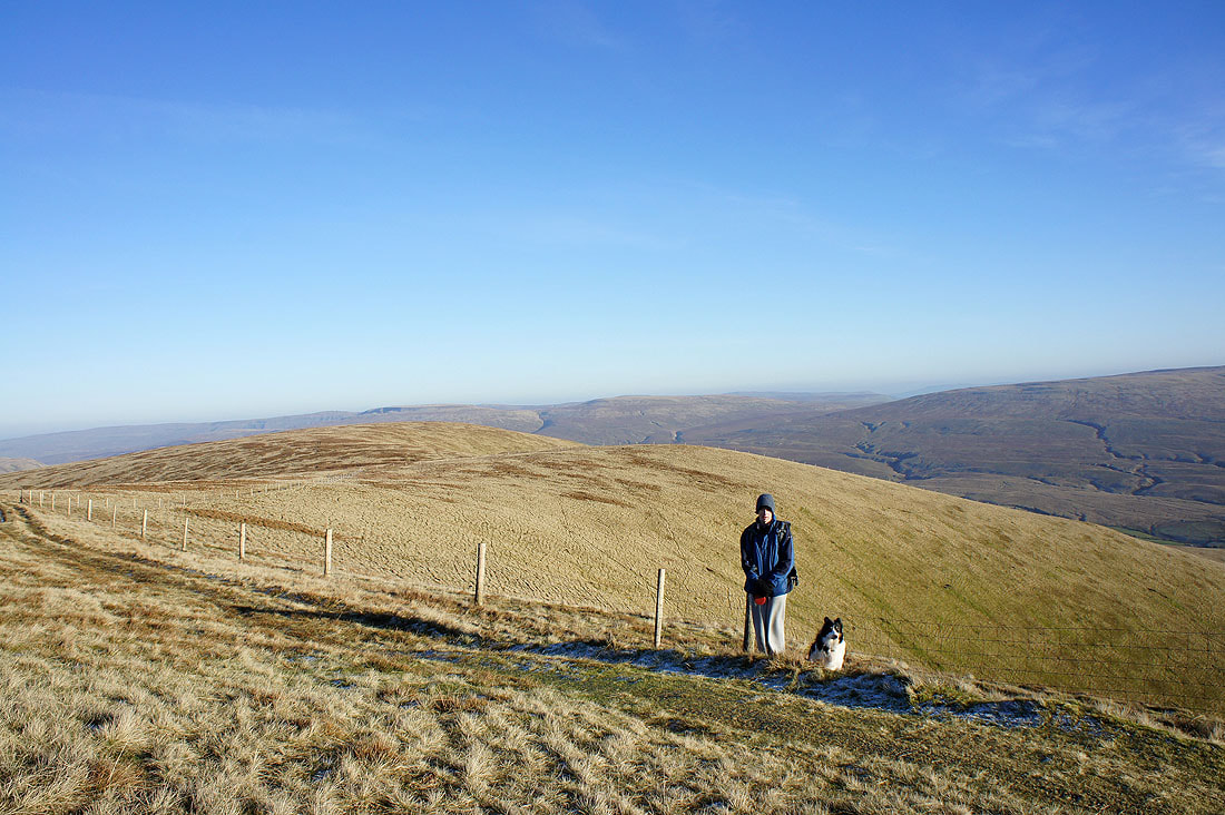
I had some company on this walk in the form of my youngest brother Andy and one of my parents' dogs Milo and even I manage to make an appearance in one of the photos.
Total ascent: 2814 ft
OS map used: OL19 - Howgill Fells & Upper Eden Valley
Time taken: 6 hrs
Route description: Sedbergh-Howgill Lane-Four Lane Ends-Cookson's Tenement-Castley-Chapel Beck-White Fell-White Fell Head-The Calf-Calders-Arant Haw-Winder-Lockbank Farm-Sedbergh
The most obvious and popular route of ascent of The Calf from Sedbergh is the bridleway that heads up the side of Winder and past Arant Haw to The Calf. I don't like covering the same ground twice in a walk if I can help it, so to find a different route of ascent I've used Howgill Lane on a couple of occasions now to gain access to one of the ridges on the western flank of the Howgills. Howgill Lane runs along the route of a former Roman Road for several miles as it heads north to become Fairmile Road before eventually reaching the A685 at Low Borrow Bridge and the site of a former Roman fort. So after setting out from Sedbergh I walked along Howgill Lane until I reached the crossroads at Four Lane Ends. Here I turned right and took the bridleway that goes past Cookson's Tenement and Castley. The path then fords Chapel Beck before climbing White Fell upto White Fell Head. The Calf is then just a short distance away. After having my lunch I then set off for Sedbergh visiting the summits of Calders, Arant Haw and Winder along the way.
I had some company on this walk in the form of my youngest brother Andy and one of my parents' dogs Milo and even I manage to make an appearance in one of the photos.
Route map
© Crown copyright. All rights reserved. License number PU 100034184.
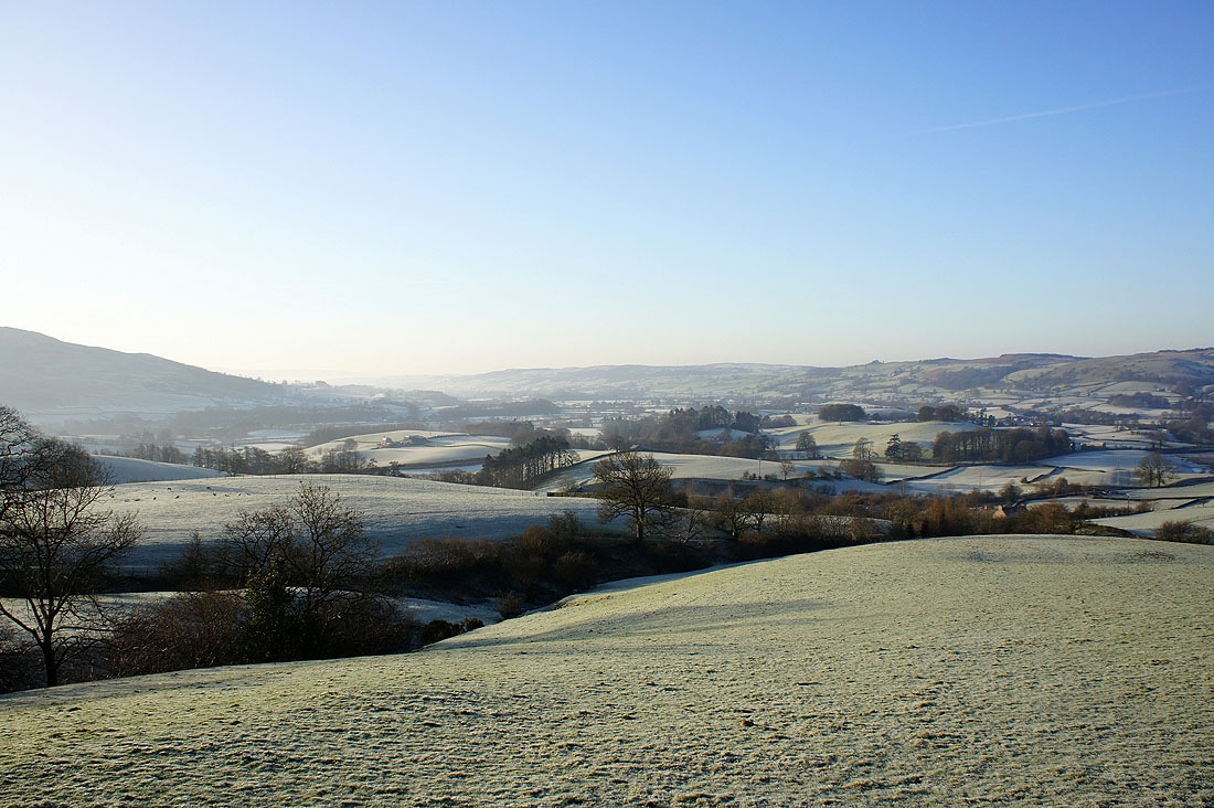
Not far outside Sedbergh and I have a view of the Lune valley from Howgill Lane
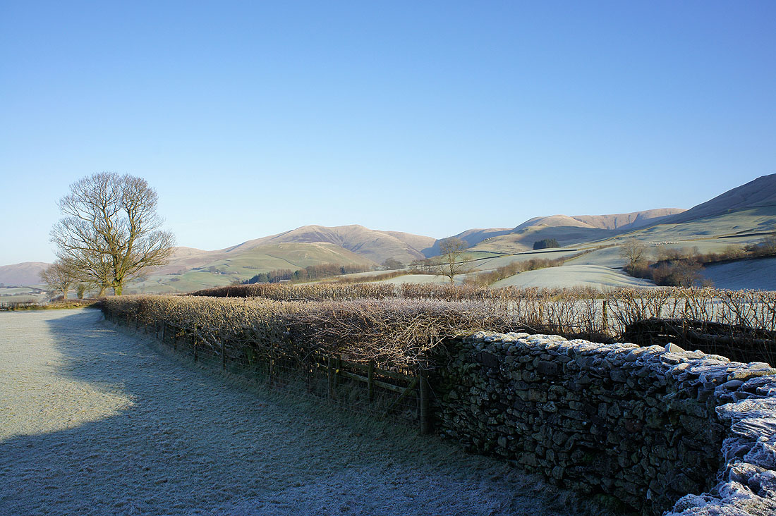
The western facade of the Howgills with Fell Head prominent in the middle of the picture
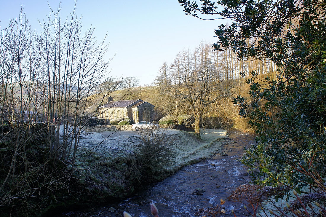
The chapel by Chapel Beck
The Lune valley from Howgill Lane at Four Lane Ends
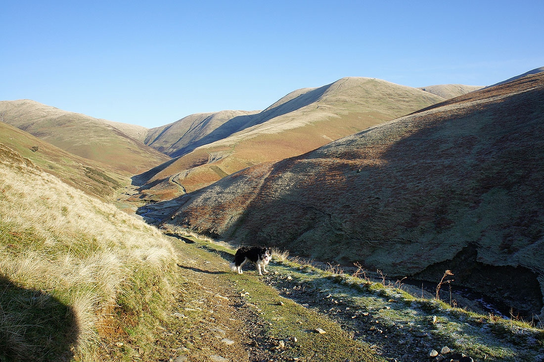
Heading for the ford across Chapel Beck before the climb up White Fell
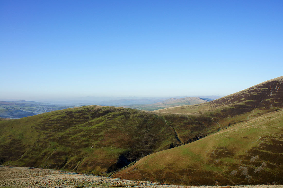
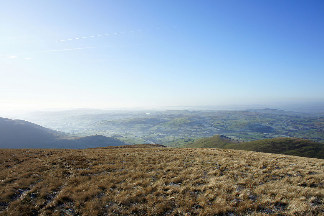
Heading up White Fell and the first long distance views appear over the top of Brown Moor
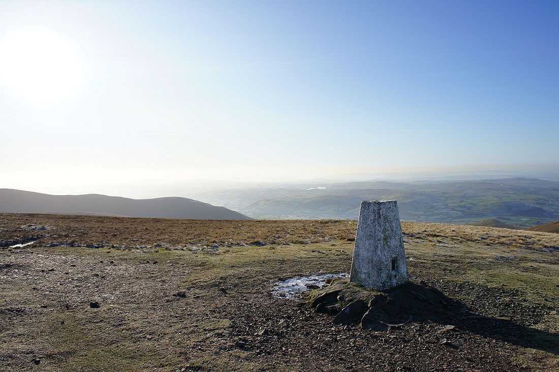
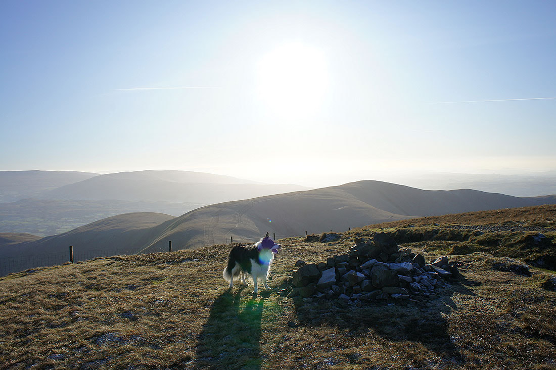
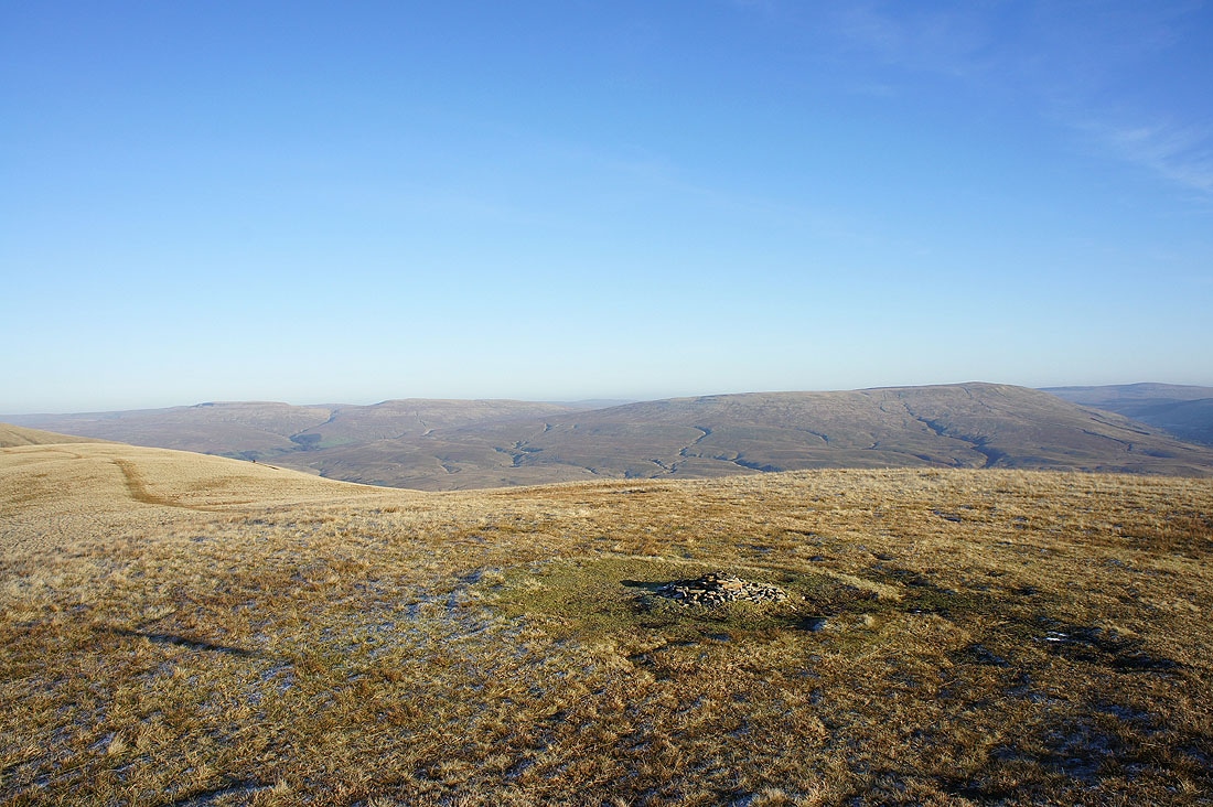
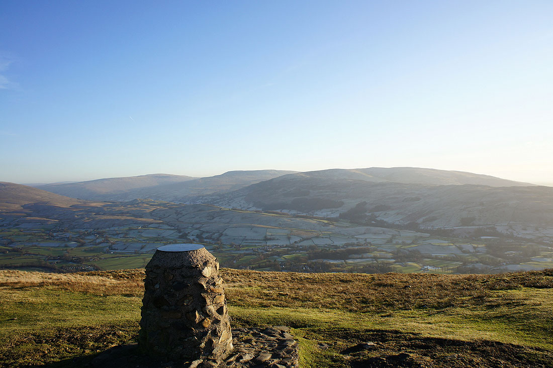
On the summit of White Fell Head. Arant Haw in the near distance is one of the summits visited on the way down.
The Lune valley below
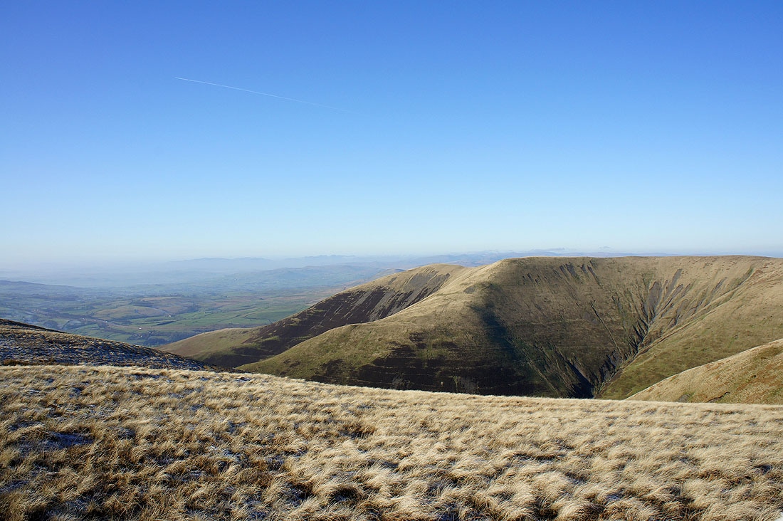
Fell Head from White Fell Head. The Lake District fells can be made out in the distance.
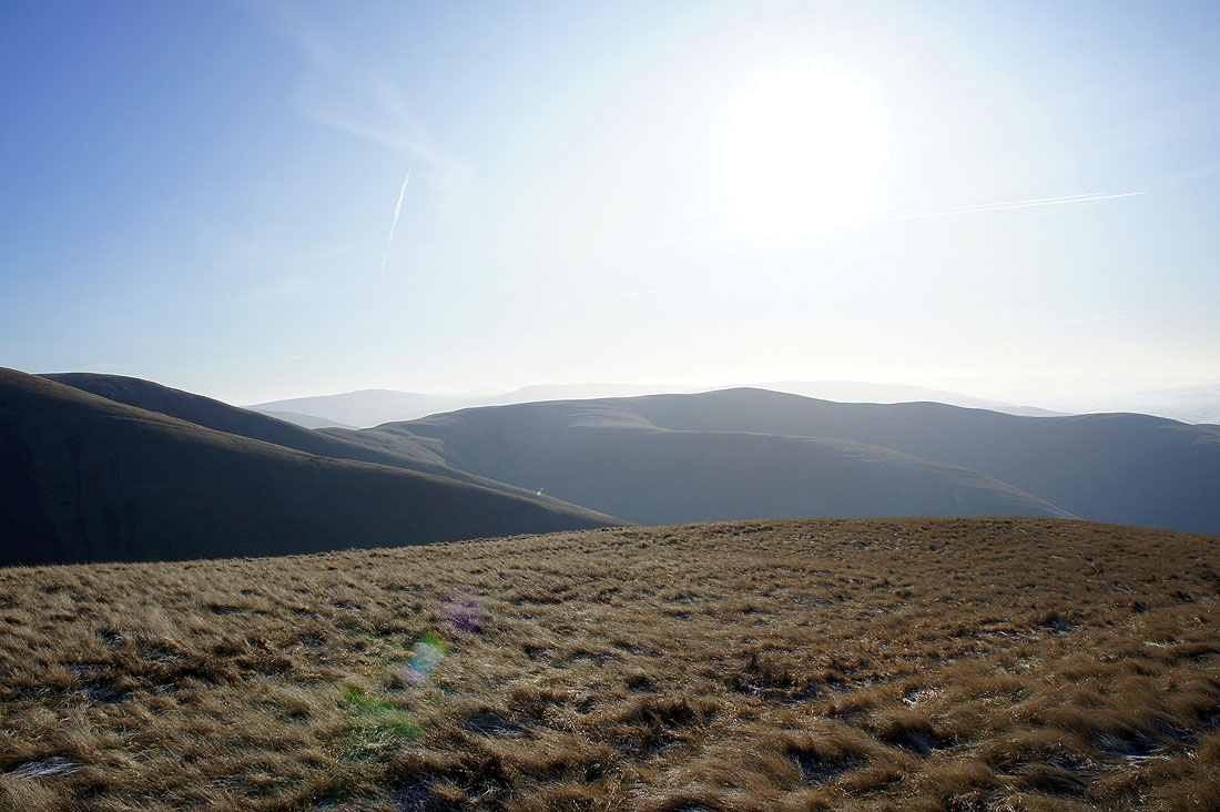
The northern Howgills with the North Pennines on the horizon. The highest hill on the right rejoices in the name of Randygill Top.
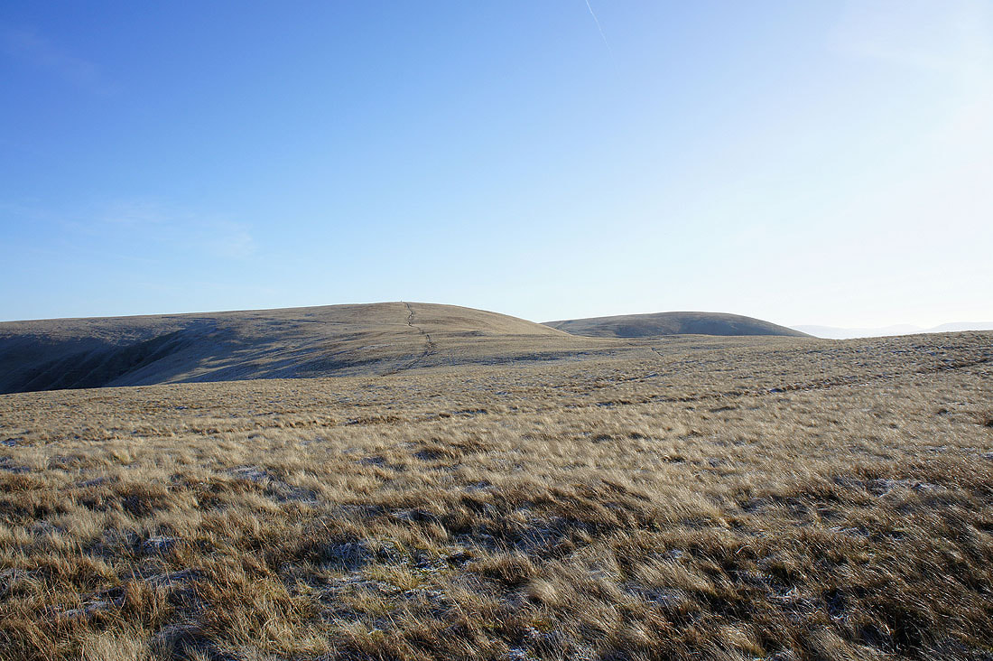
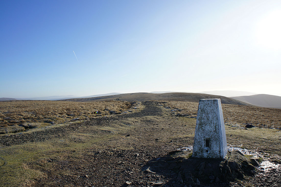
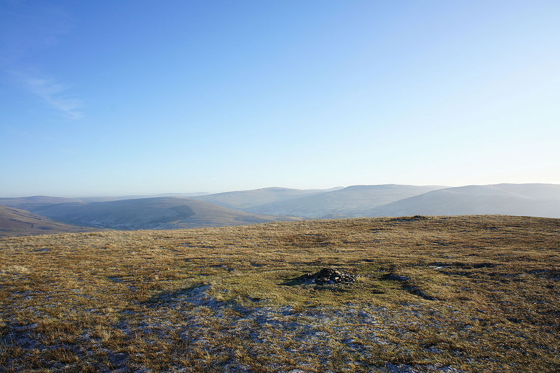
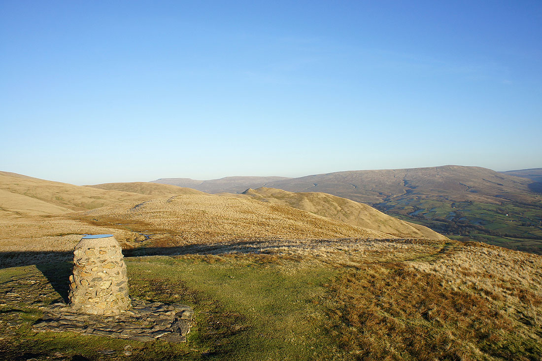
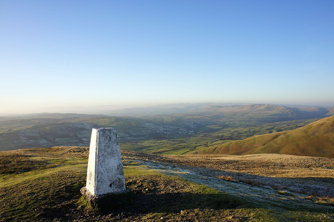
The Calf awaits
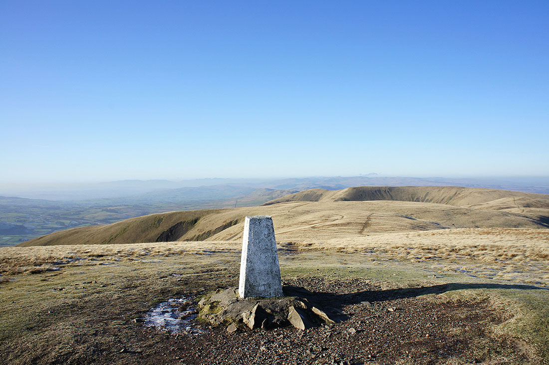
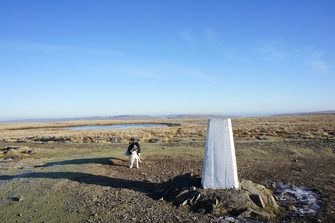
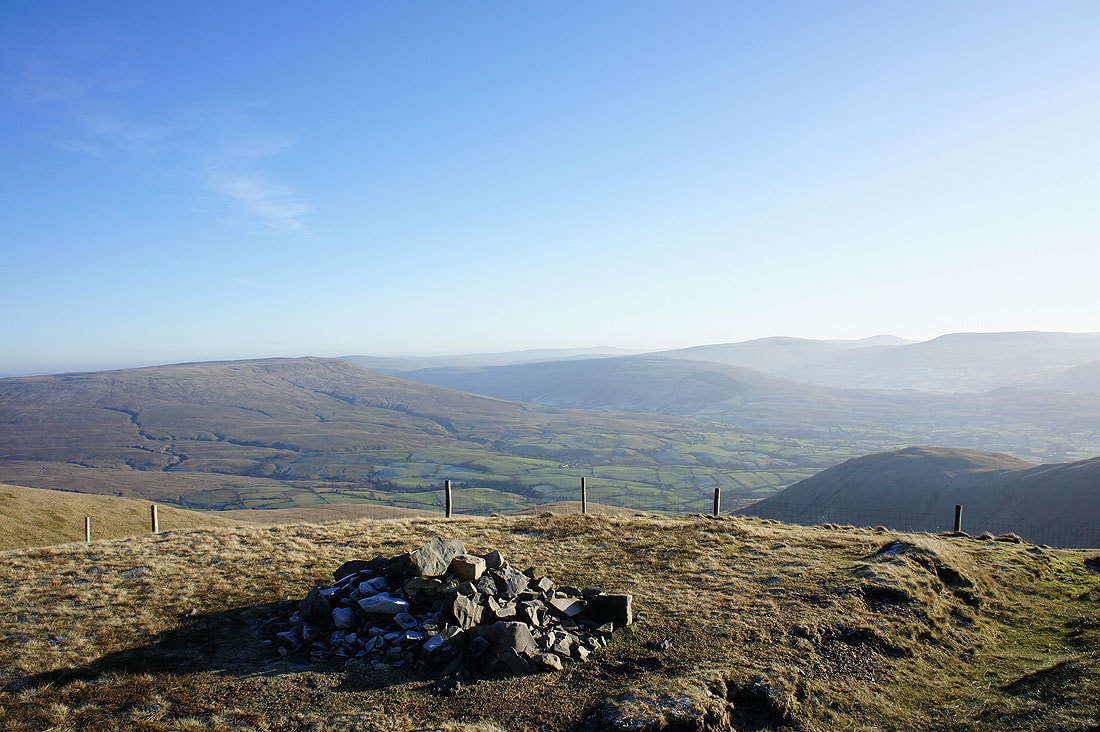
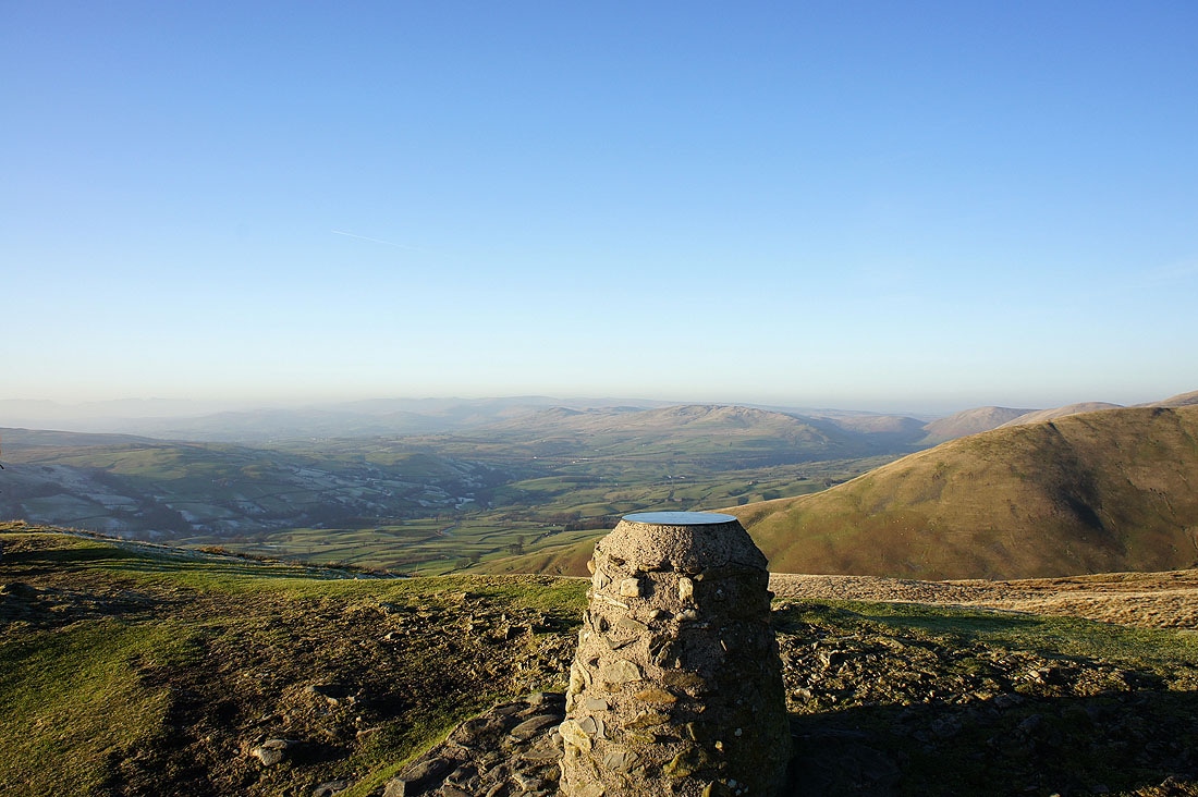
The Calf. White Fell Head and Fell Head are behind the trig point and the Lake District fells form the distant backdrop.
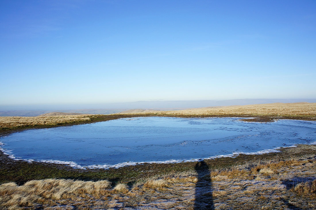
The summit tarn is showing how cold it is
The view towards Morecambe Bay. Killington Lake can be seen just to the left of the trig point.
Next stop Calders
A last shot from the summit with the fells around Mallerstang behind the summit tarn
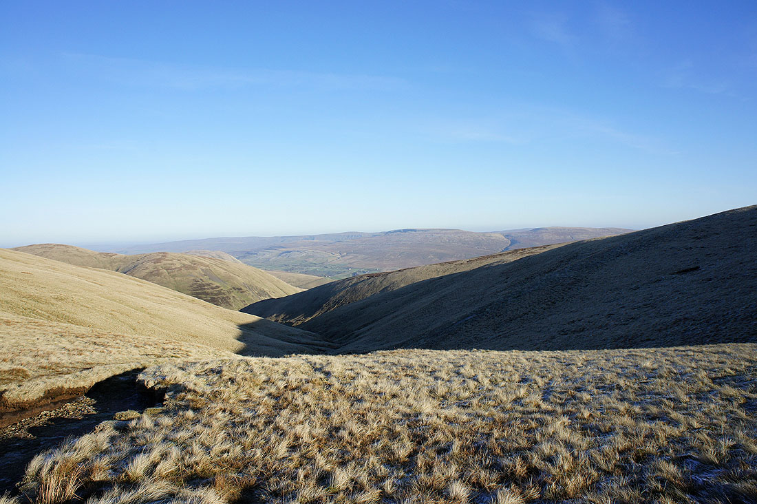
The gill below leads to the top of Cautley Spout
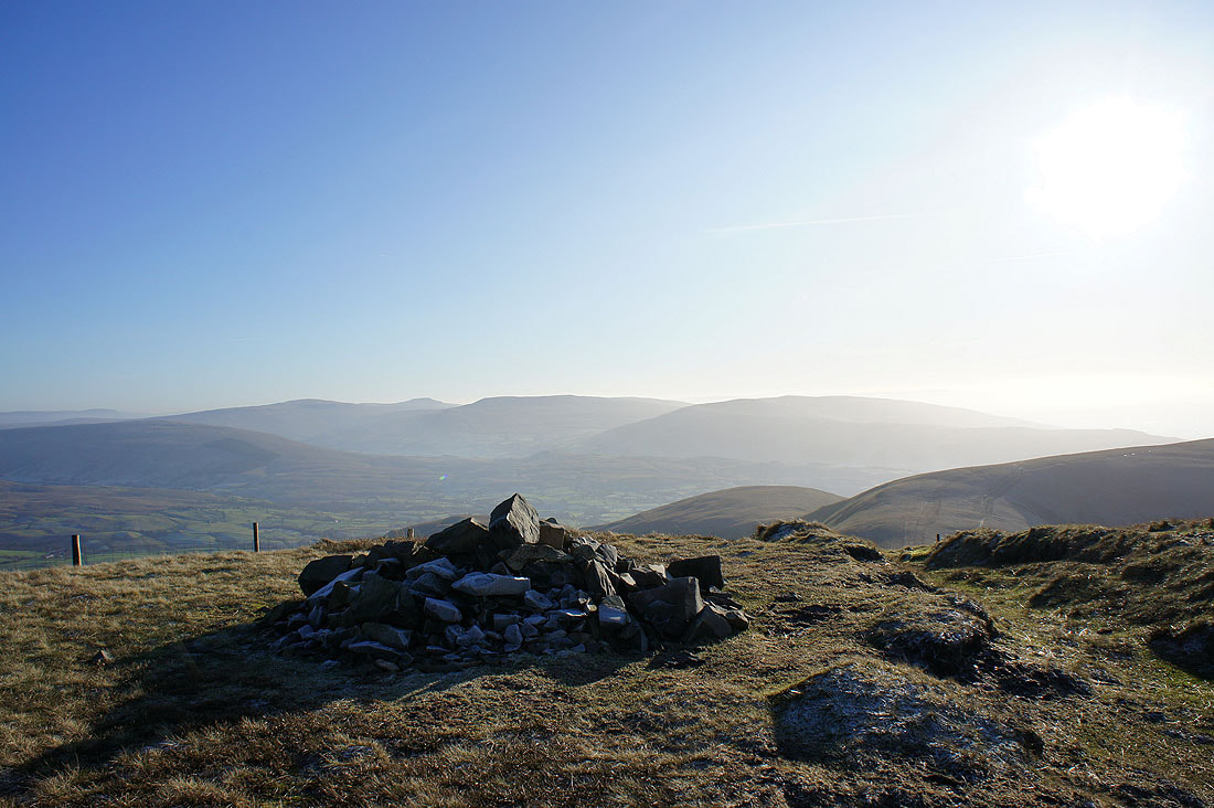
On Calders. The fells in the background are Whernside, Ingleborough, Great Coum and Calf Top.
The view towards Wild Boar Fell
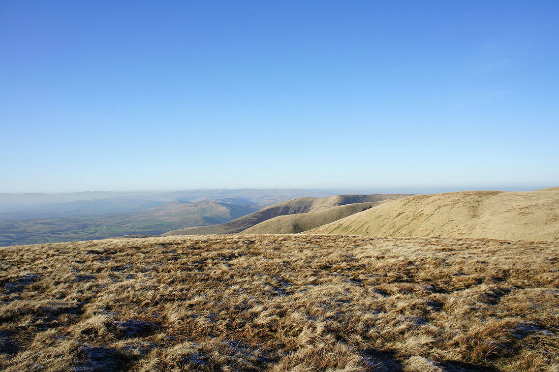
The next summit of Arant Haw to the right
Baugh Fell and Rise Hill across the Rawthey valley. Whernside, Ingleborough and Great Coum further to the right.
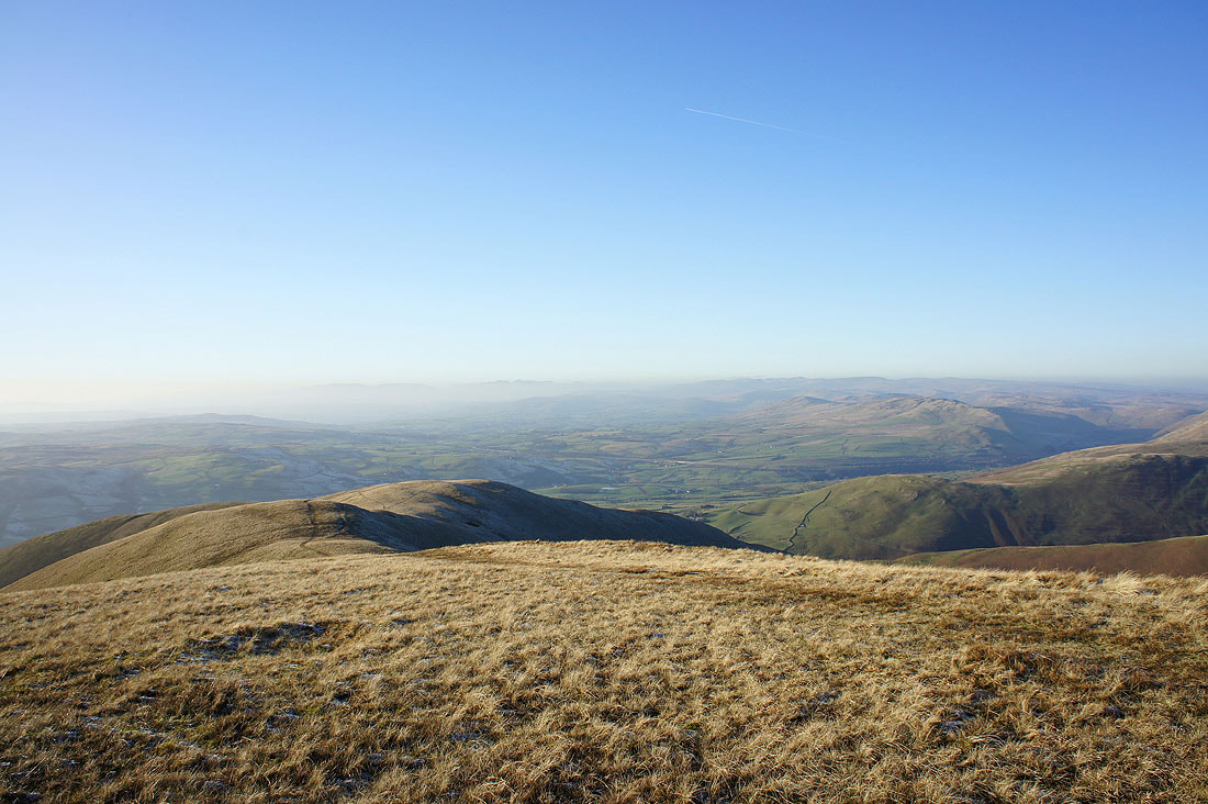
The view from Calders across to Fell Head
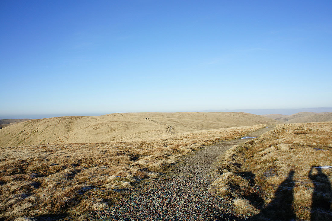
The path back to The Calf
After leaving Calders I headed down and across Rowantree Grains and up to the summit of Arant Haw. The view across to Wild Boar Fell, Swarth Fell and Baugh Fell.
Rise Hill, Whernside, Ingleborough, Great Coum and Calf Top
Lakeland fells in the distance. The ridge heading down is called the Nab.
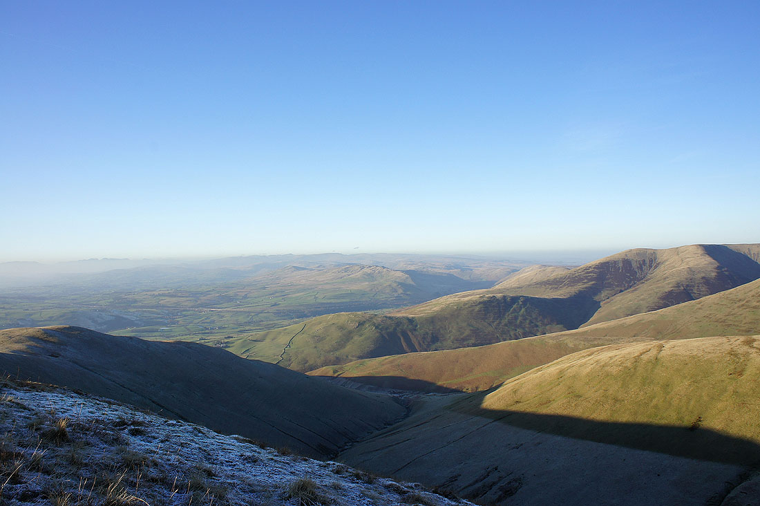
Still frosty down around Swarth Greaves Beck. Fell Head on the right.
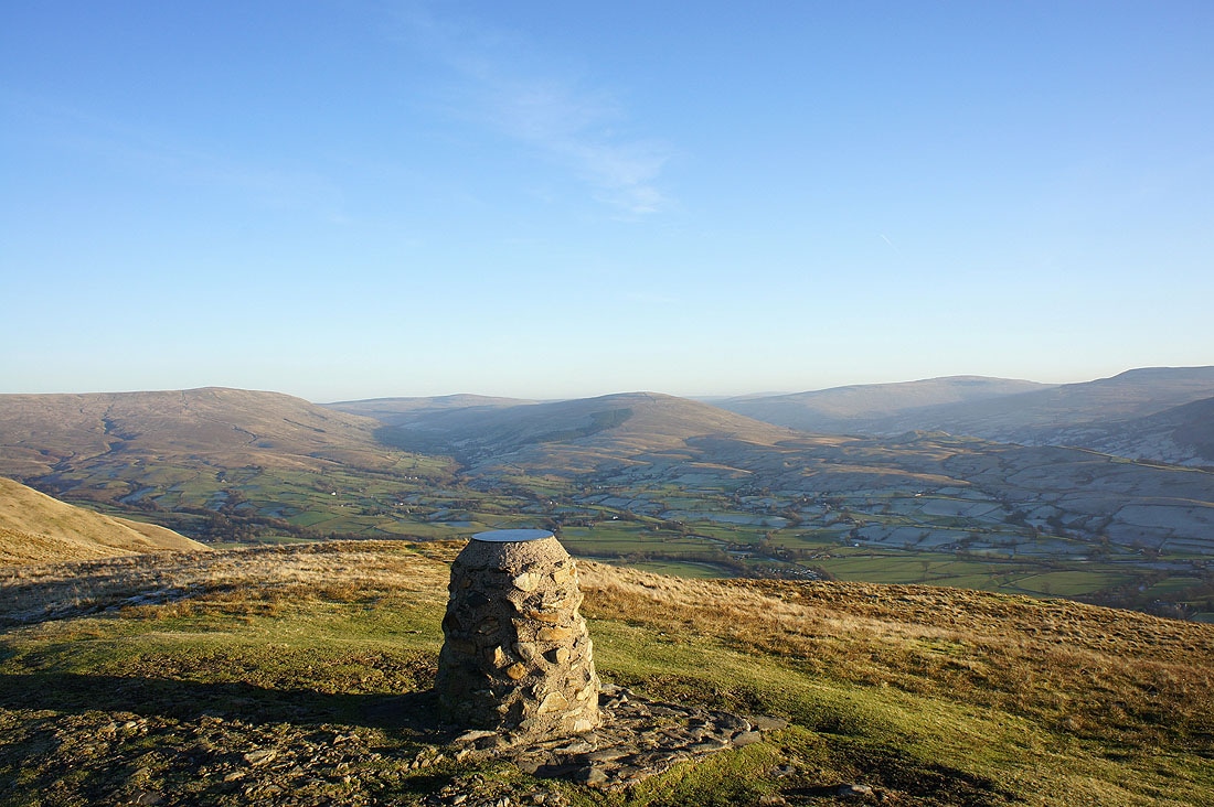
I'm on my final summit of the day, Winder. The topograph was erected in 2000 to celebrate the millennium and points out notable fells in the view.
Whernside, Great Coum and Calf Top
Baugh Fell and Rise Hill separated by Garsdale. Whernside and Great Coum to the right of Rise Hill. The valley inbetween is Dentdale.
Wild Boar Fell, Swarth Fell and Baugh Fell. The knobbly hill in the foreground is Crook.
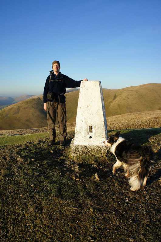
Finally caught on "film"
A final shot from the summit of the Lune valley
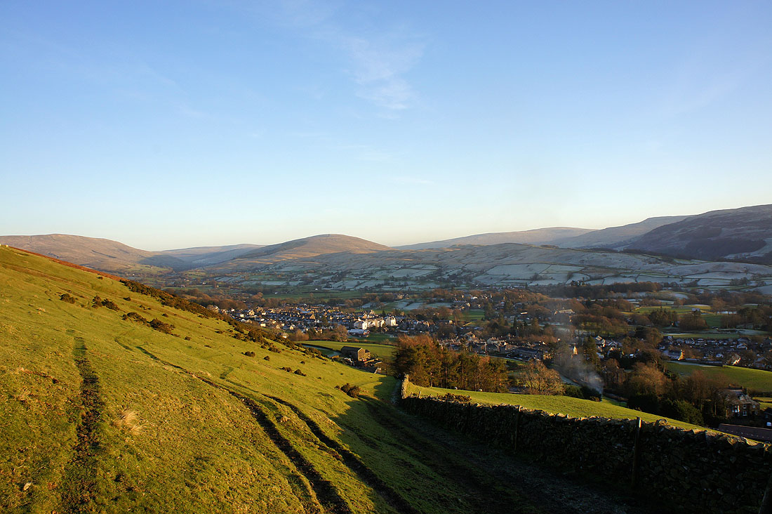
Sedbergh after a great day on the fells