14th January 2017 - Great Whernside
Walk Details
Distance walked: 9.1 miles
Total ascent: 1967 ft
OS map used: OL30 - Yorkshire Dales, Northern & Central areas
Time taken: 6 hrs
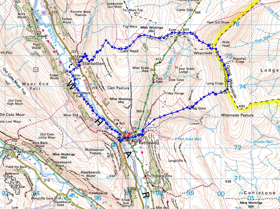
Route description: Kettlewell-Dales Way-Starbotton-Starbotton Cam Road-Starbotton Road-Hunters Sleets-Blackfell Top-Great Whernside-Hag Dyke-Kettlewell
I'd already decided after my walk up Buckden Pike on the 2nd January that on the next suitable occasion Great Whernside would be my next port of call. I didn't have to wait long and as luck would have it I would get more fantastic winter weather to enjoy. The snow was more widespread than it was on Buckden Pike, it being down to valley level but not as deep high up. It was a glorious day with lots of blue skies, sunshine and great visibility. Things looked their best in the middle of the afternoon when I was on Great Whernside, with the sun lower in the sky and some cloud coming across there was a great light on the wind blown snow.
From the car park in Kettlewell I set off by crossing the bridge over the River Wharfe and taking the trail of the Dales Way north towards Starbotton. When the trail reached the bridge over the river I crossed it and followed the bridleway into Starbotton. I then crossed the main road up the valley and walked through the village to reach the track and bridleway of Starbotton Cam Road. I followed this uphill and then across the hillside to the bridleway of Starbotton Road that took me to Hunters Sleets and the Kettlewell to Coverdale road. After crossing the road I took the path up the slopes of Great Whernside to Black Dike End, Blackfell Top and finally the trig point and summit. My route back to Kettlewell took me downhill past the Hag Dyke scout hostel and along the path above Dowber Gill Beck.
Total ascent: 1967 ft
OS map used: OL30 - Yorkshire Dales, Northern & Central areas
Time taken: 6 hrs
Route description: Kettlewell-Dales Way-Starbotton-Starbotton Cam Road-Starbotton Road-Hunters Sleets-Blackfell Top-Great Whernside-Hag Dyke-Kettlewell
I'd already decided after my walk up Buckden Pike on the 2nd January that on the next suitable occasion Great Whernside would be my next port of call. I didn't have to wait long and as luck would have it I would get more fantastic winter weather to enjoy. The snow was more widespread than it was on Buckden Pike, it being down to valley level but not as deep high up. It was a glorious day with lots of blue skies, sunshine and great visibility. Things looked their best in the middle of the afternoon when I was on Great Whernside, with the sun lower in the sky and some cloud coming across there was a great light on the wind blown snow.
From the car park in Kettlewell I set off by crossing the bridge over the River Wharfe and taking the trail of the Dales Way north towards Starbotton. When the trail reached the bridge over the river I crossed it and followed the bridleway into Starbotton. I then crossed the main road up the valley and walked through the village to reach the track and bridleway of Starbotton Cam Road. I followed this uphill and then across the hillside to the bridleway of Starbotton Road that took me to Hunters Sleets and the Kettlewell to Coverdale road. After crossing the road I took the path up the slopes of Great Whernside to Black Dike End, Blackfell Top and finally the trig point and summit. My route back to Kettlewell took me downhill past the Hag Dyke scout hostel and along the path above Dowber Gill Beck.
Route map
© Crown copyright. All rights reserved. License number PU 100034184.
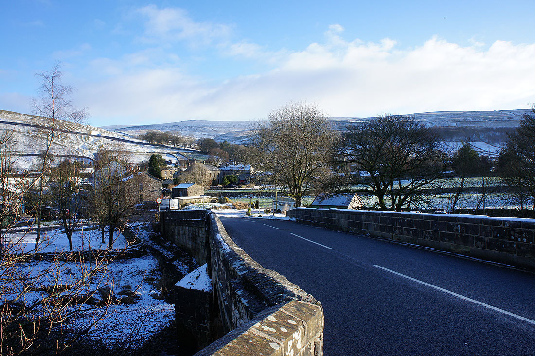
Leaving Kettlewell behind..
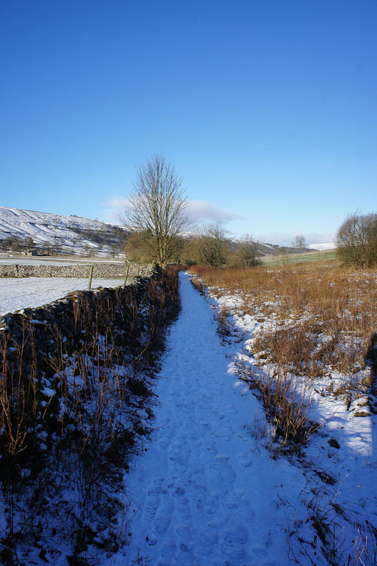
..I follow the Dales Way north towards Starbotton....
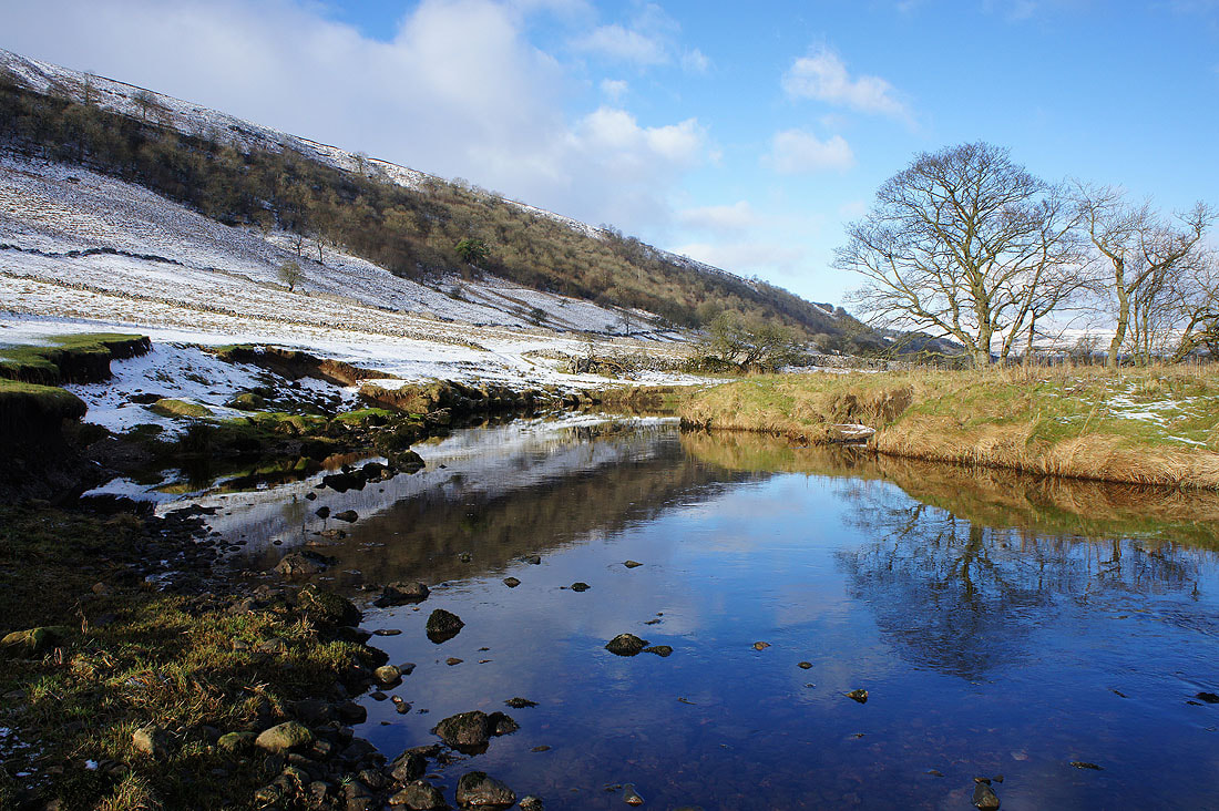
The winter so far has been drier than usual which has resulted in a calm and placid River Wharfe..
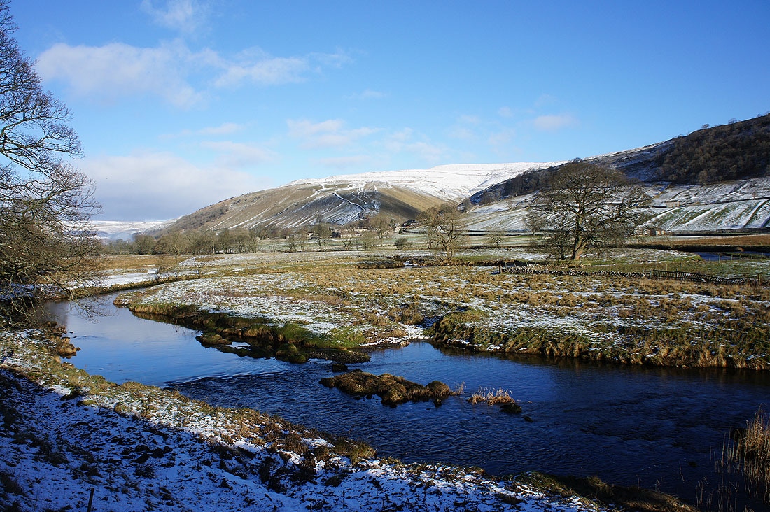
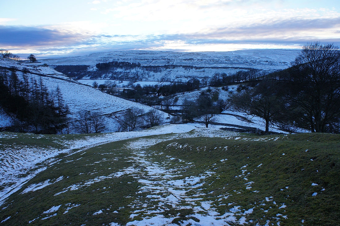
I can now make out Starbotton on the other side of the valley
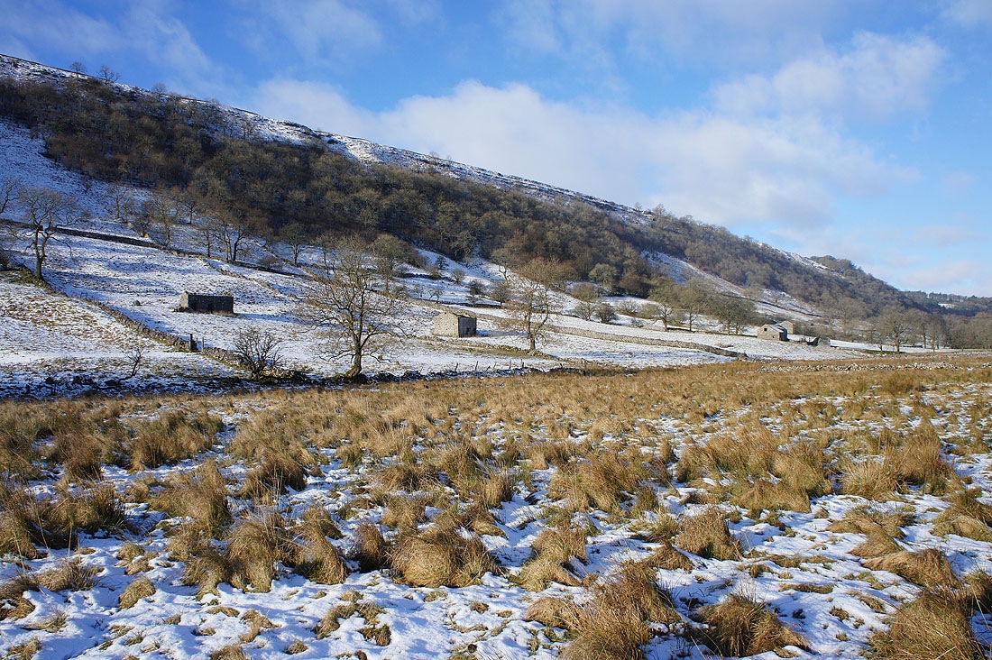
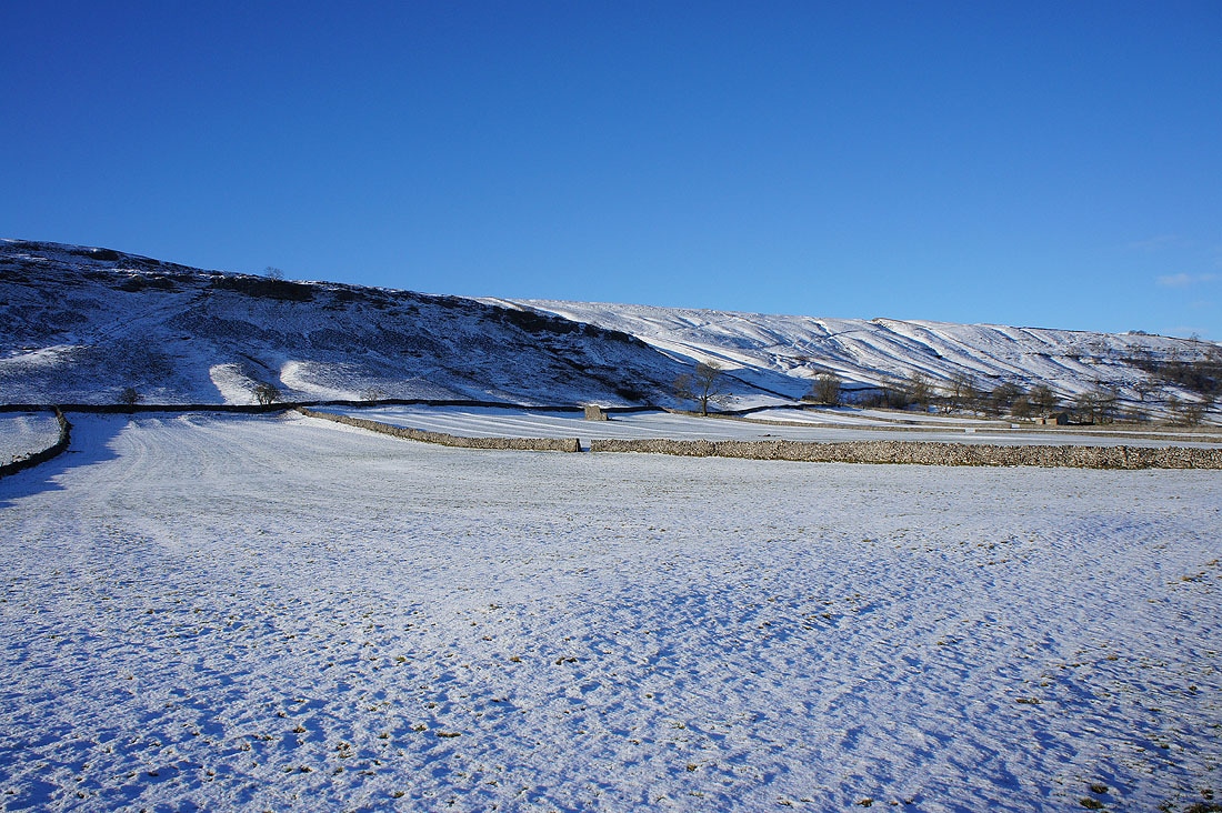
Barns and fields, a typical Dales scene
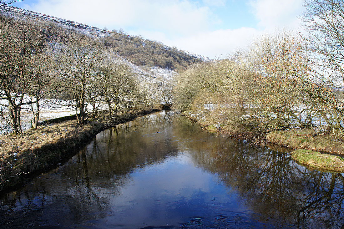
Crossing the River Wharfe..
..to head for Starbotton
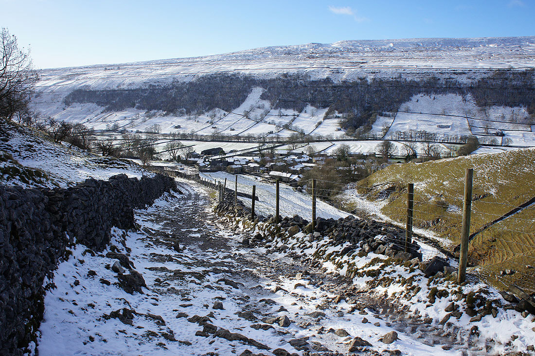
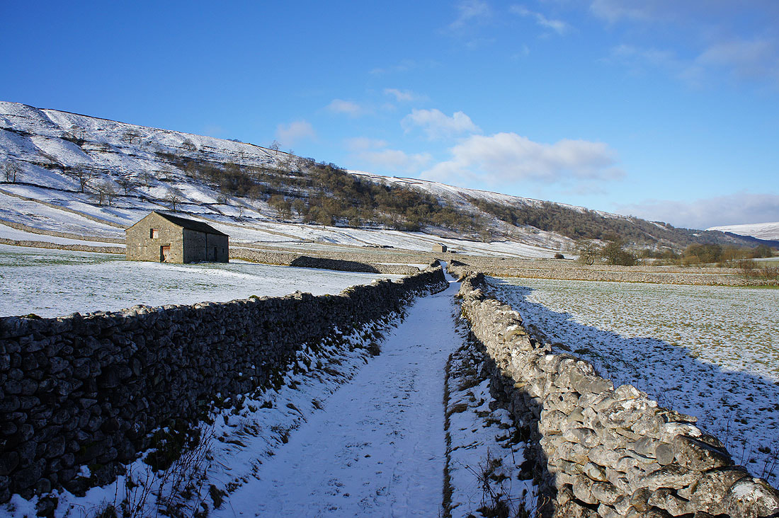
Looking back down on the snow covered roofs of Starbotton as I take the bridleway of Starbotton Cam Road
Blue skies and snow as I head uphill
I get a great view up Wharfedale from the bridleway of Starbotton Road
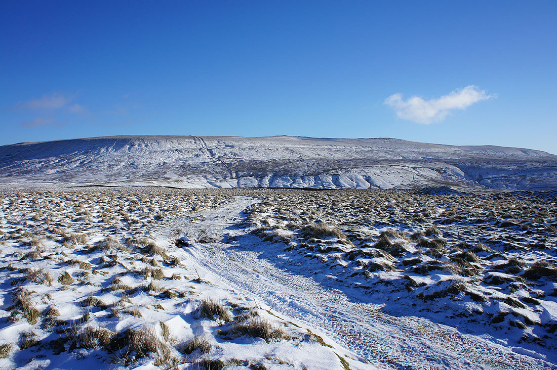
My ultimate destination of Great Whernside comes into view
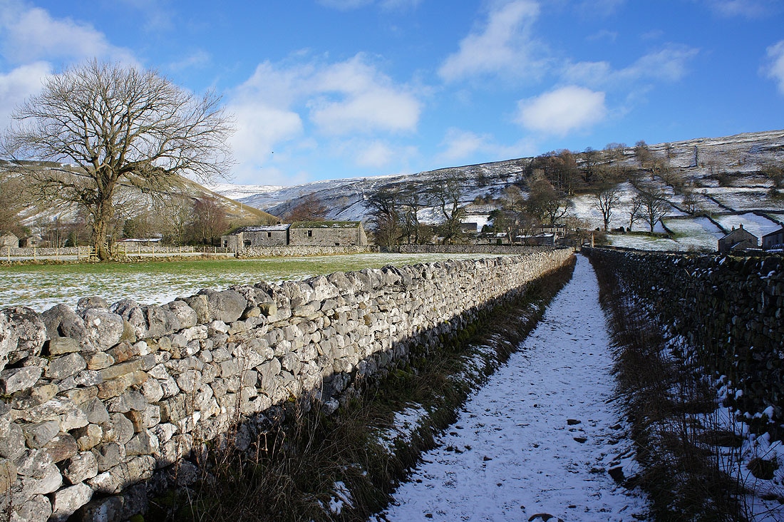
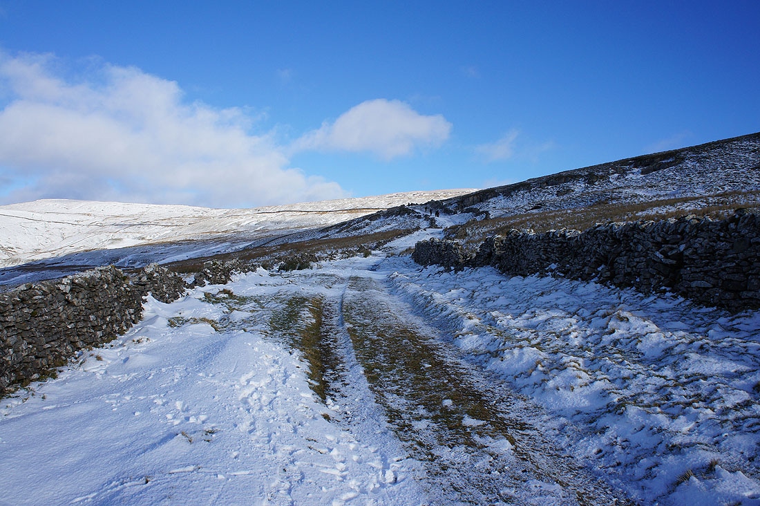
Starbotton Road meets the bridleway of Top Mere Road that has come up from Kettlewell
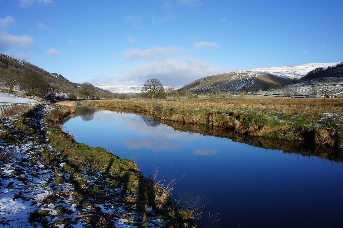
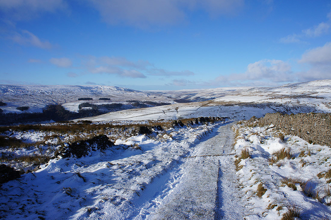
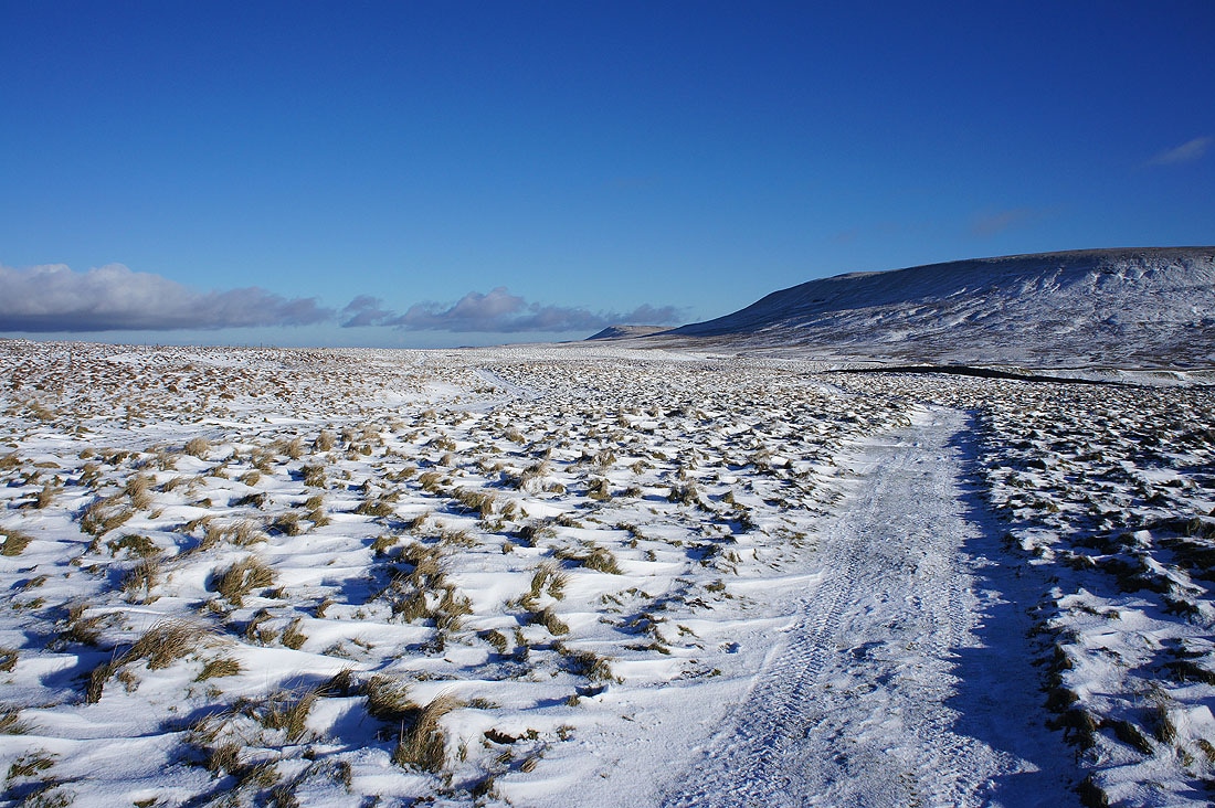
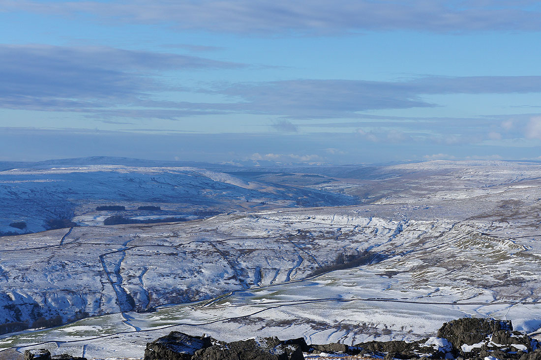
Looking down Wharfedale towards Barden Moor
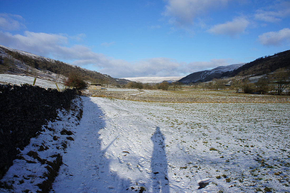
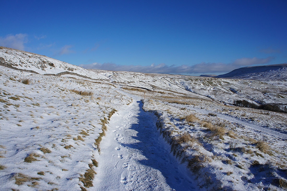
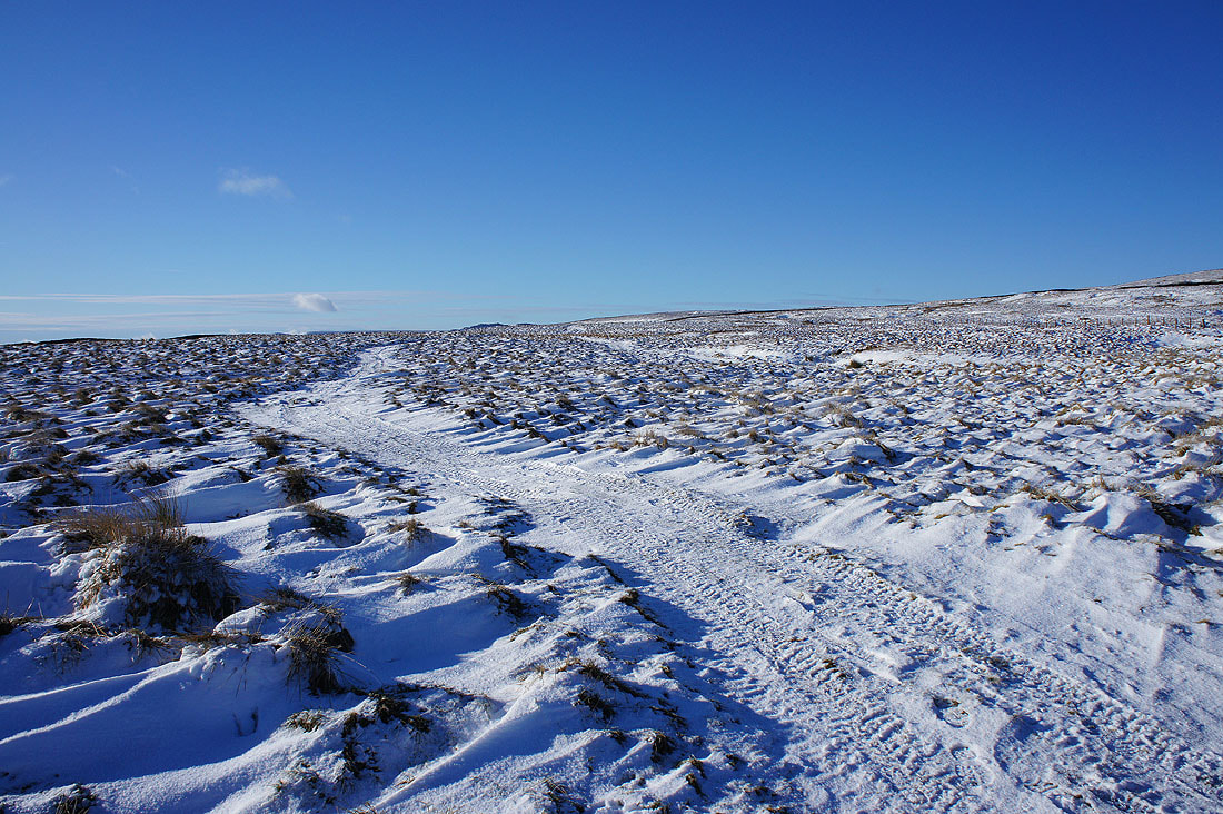
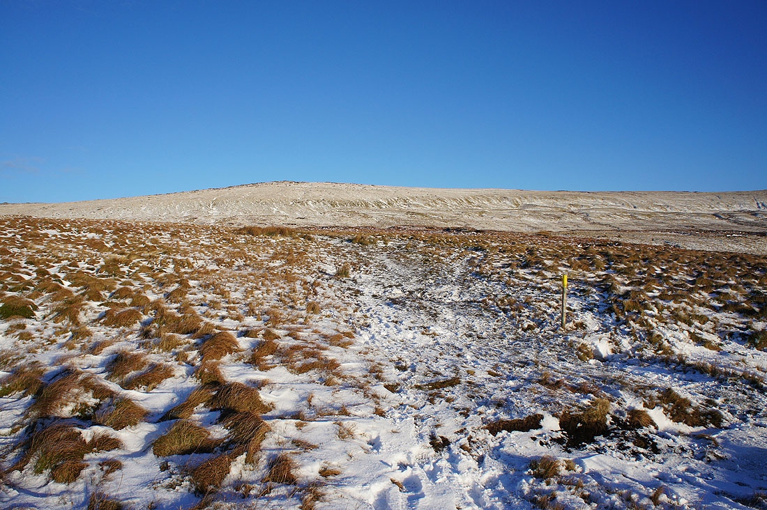
I'm enjoying following this track across the moor to the road to Coverdale. It's firm underfoot and I like the way the windblown snow has drifted.
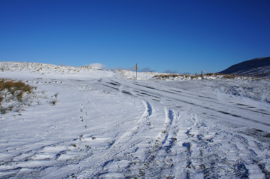
Across the road from Kettlewell to Coverdale. Funnily enough I didn't see any traffic using it.
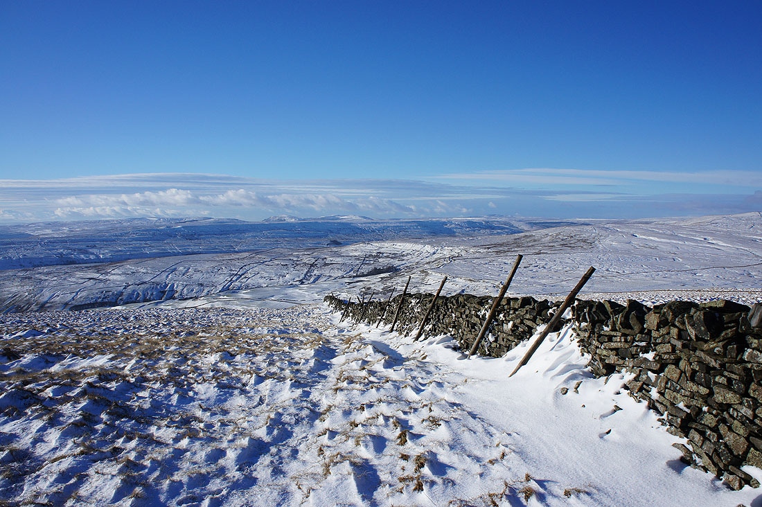
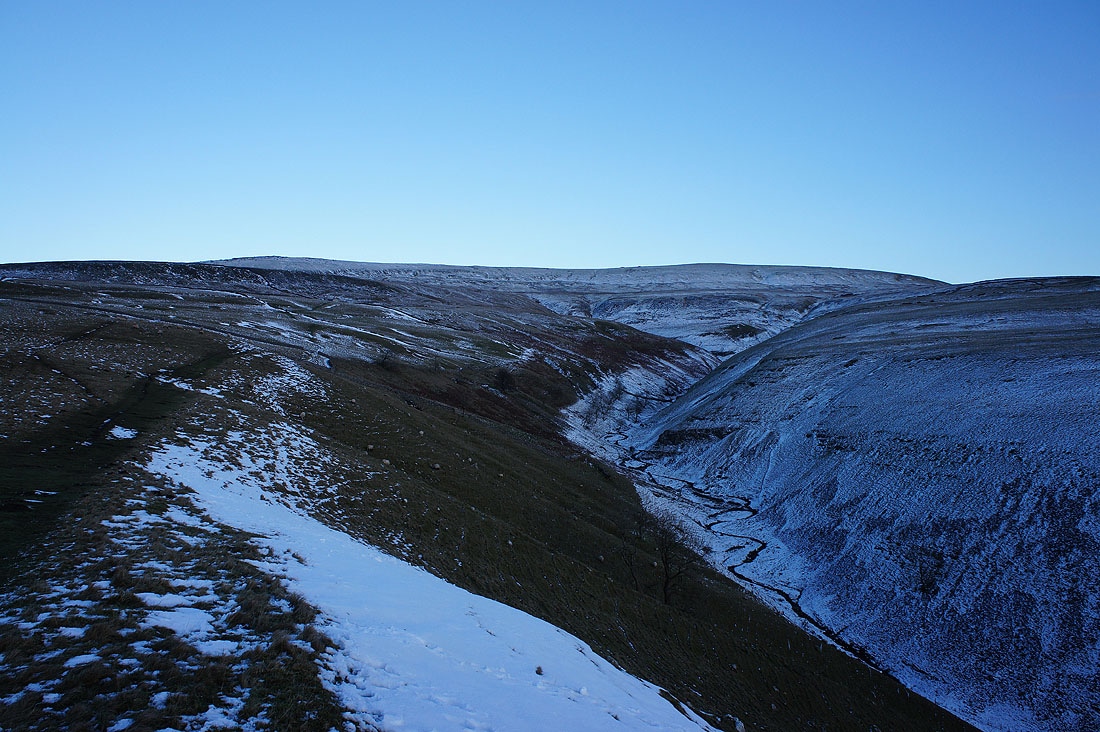
Looking back as I head up Great Whernside and the snow really helps the embankment of Tor Dike stand out
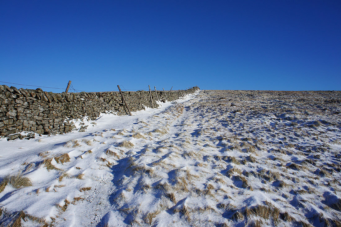
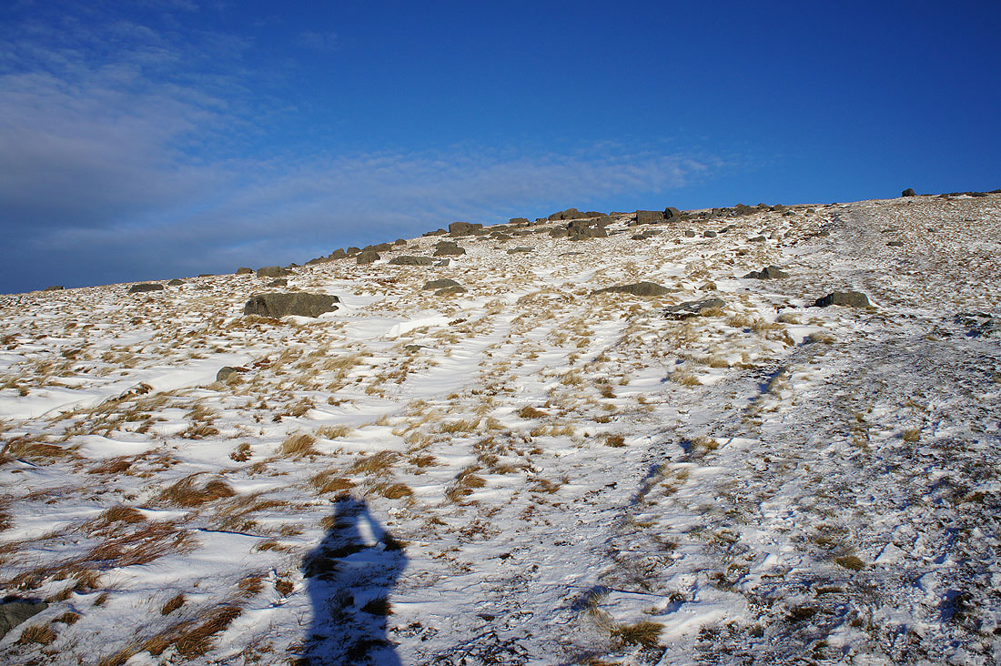
As soon as the path to the summit reached this wall I left it to follow it uphill and get onto the summit ridge as soon as I could
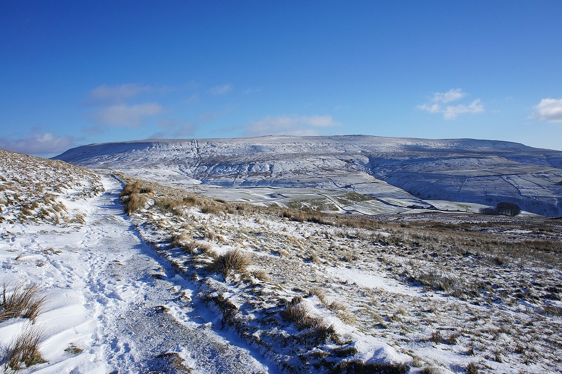
With enough height gained I can now make out Fountains Fell, Penyghent and Plover Hill above the nearby moors
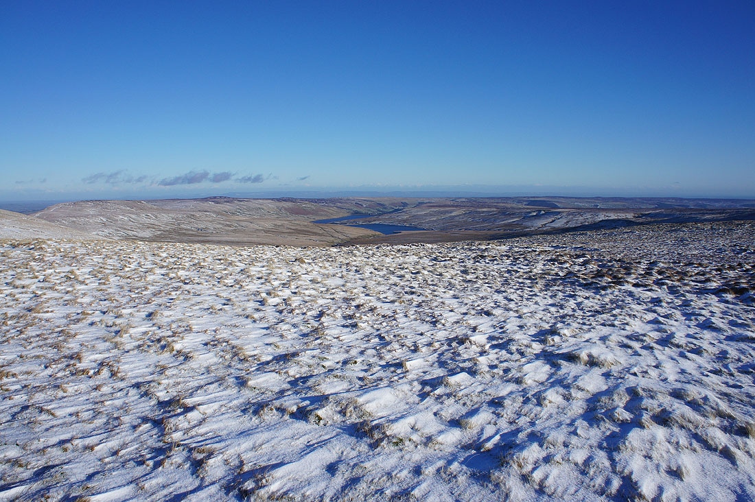
Looking east to Angram and Scar House Reservoirs at the top of Nidderdale
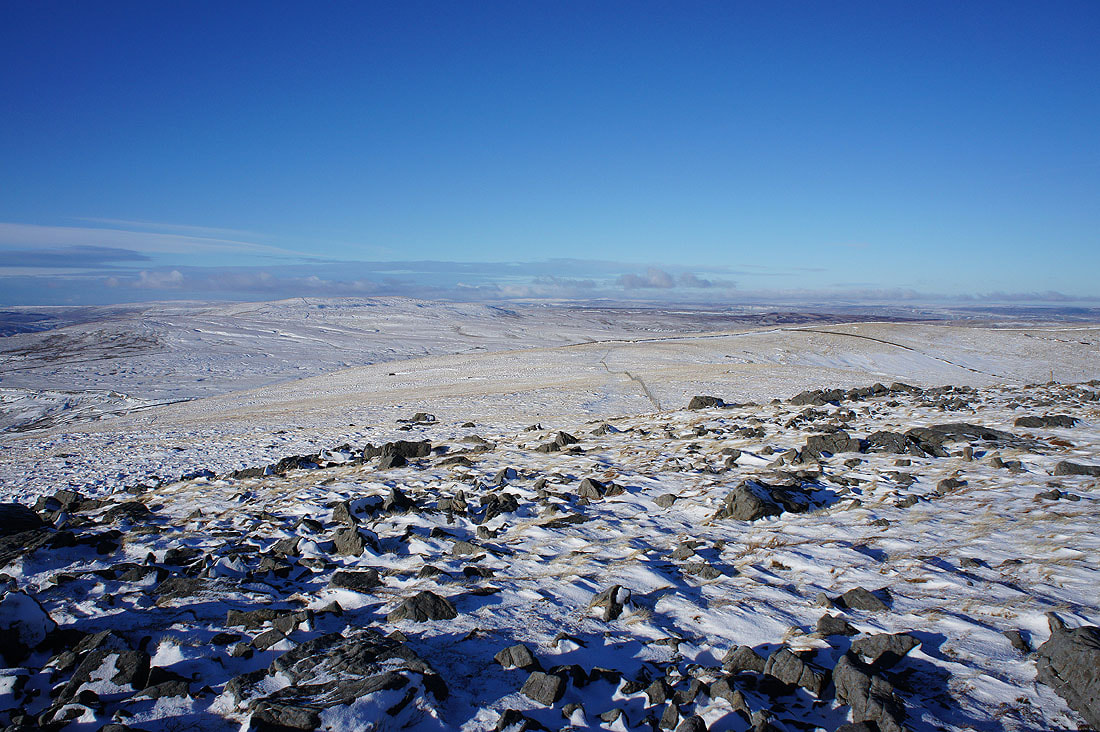
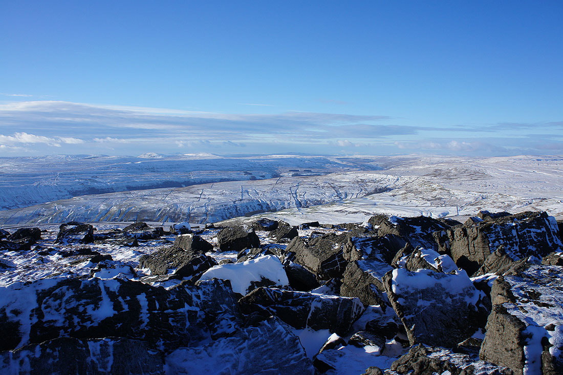
Blackfell Crags ahead with the summit rocks to the right
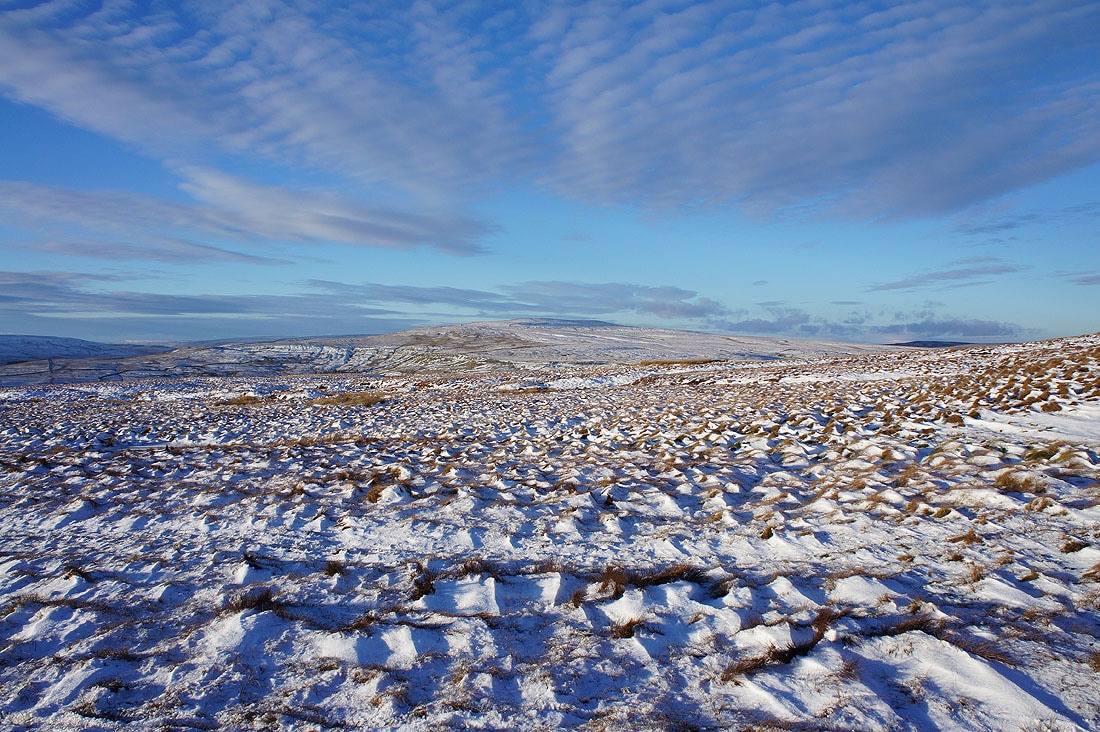
I couldn't resist taking a shot across the windblown snow
On Blackfell Top. Looking northwest to Buckden Pike.
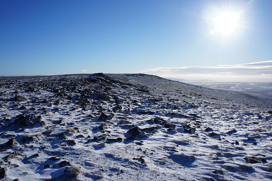
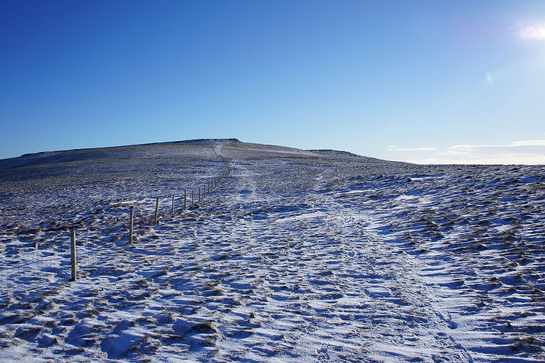
The summit isn't far. I can make out the large cairn on it.
I found myself taking a lot of photos as I made my way to the summit. The view west to Fountains Fell, Penyghent, Ingleborough, Plover Hill, Whernside and Buckden Pike was irresistible with all the snow covered boulders around.
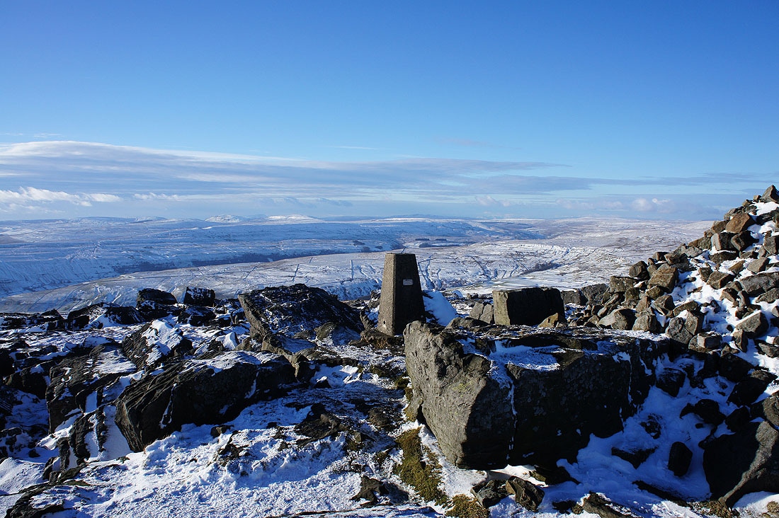
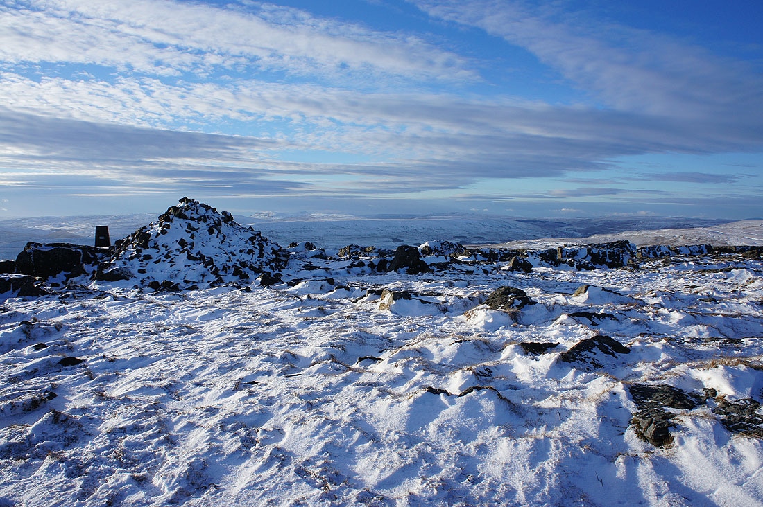
By the trig point that marks the summit of Great Whernside
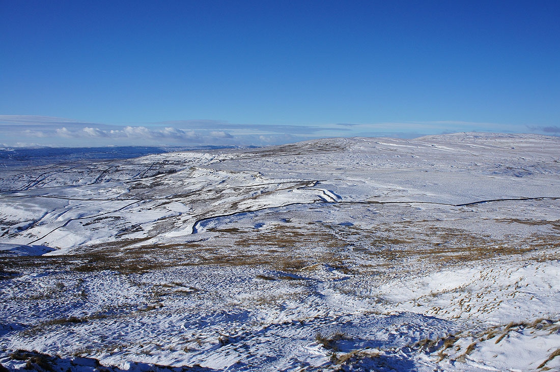
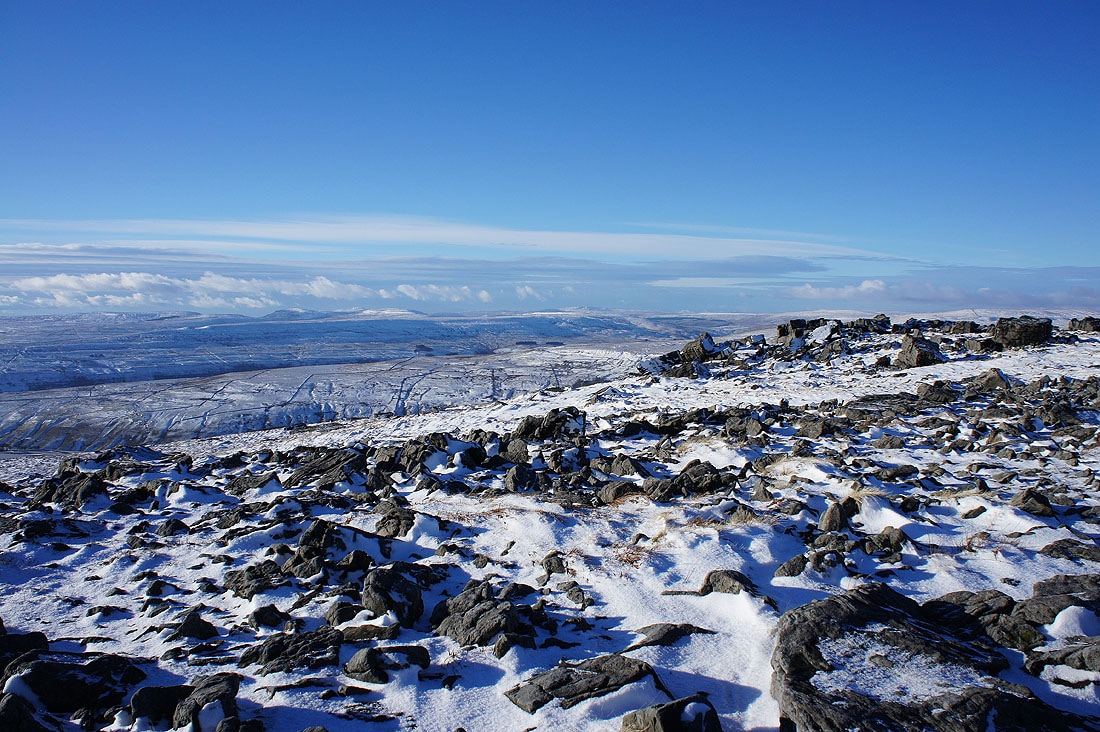
Looking south down Wharfedale to Barden Moor and the countryside around Grassington
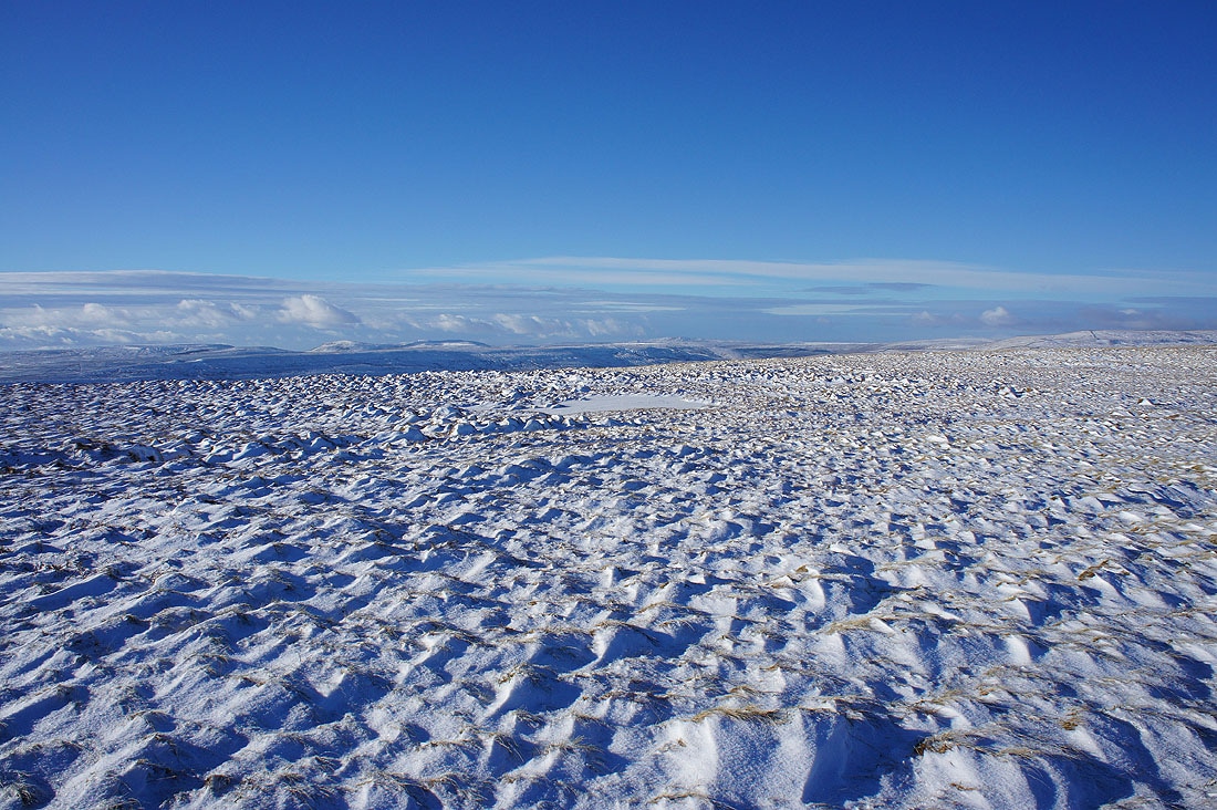
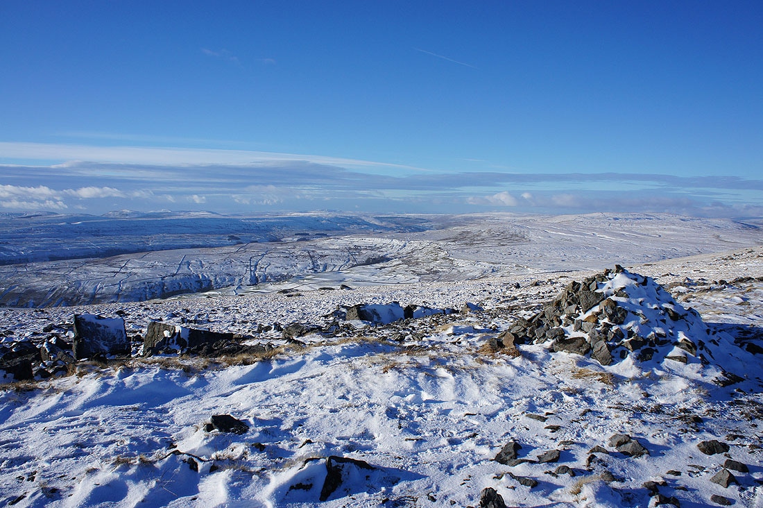
The moors above Nidderdale to the east with the outline of the North York Moors in the far distance
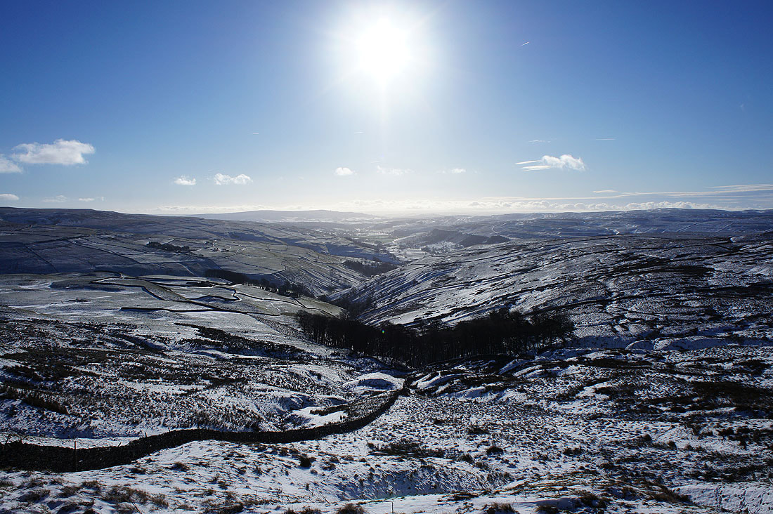
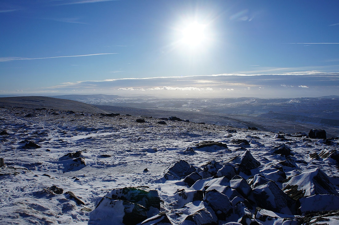
A lovely light develops as the sun gets lower in the sky and some cloud starts to come across..
Just like when I was on Buckden Pike on the 2nd January, the visibility is good enough today to make out some of the Lake District fells to the right of Whernside. They're the Scafell range and the Langdale Pikes if you were wondering.
A golden light on the summit rocks as I start my descent
I really liked this shot looking north to Buckden Pike. The clouds and drifts of snow seemed to line up.
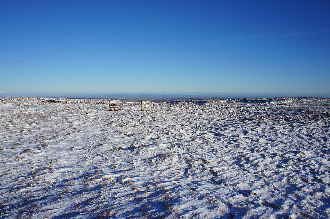
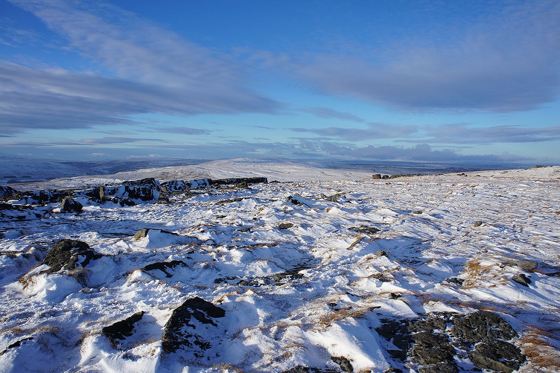
Looking back to the summit. The route down is clearly marked out with posts.
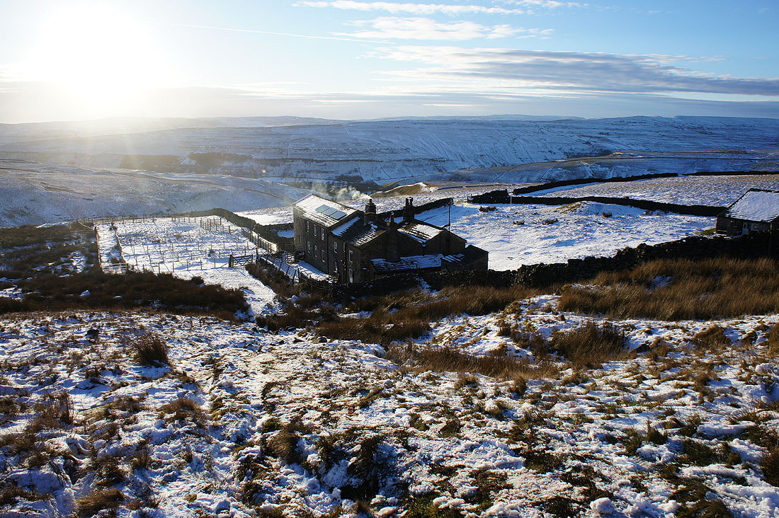
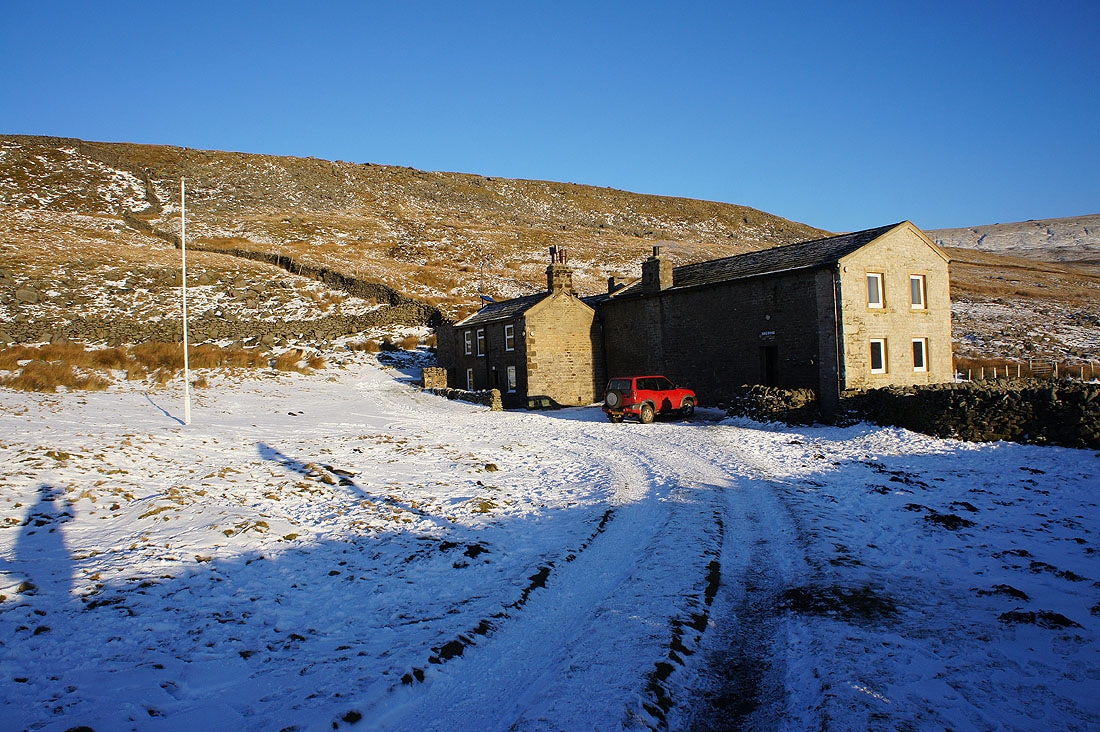
The Hag Dyke scout hostel..
Dowber Gill Beck to my right as I take a last look back..
..before the final descent to Kettlewell