14th January 2024 - Ward's Stone and Clougha Pike
Walk Details
Distance walked: 10.3 miles
Total ascent: 2028 ft
OS map used: OL41 - Forest of Bowland & Ribblesdale
Time taken: 6 hrs
Route description: Birk Bank car park on Rigg Lane-Birk Bank-Ottergear Bridge-track round the back of Clougha Pike-Grizedale Head-Lee Fell-Ward's Stone Breast-Ward's Stone-Grit Fell-Clougha Pike-Clougha Scar-Birk Bank car park on Rigg Lane
I decided to head to the northwest corner of the Forest of Bowland for my walk this weekend to take in Ward's Stone, Grit Fell, and Clougha Pike. It's an area that I used to visit quite often, my last was in July 2022, but the one before that was September 2017. Moving home in April 2019 took me to the opposite corner of Lancashire and made getting there a longer and more difficult journey. This weekend has had some changeable weather, but I'm hoping that improving conditions coming down from the north will give me a fine afternoon for taking in the great views that this part of Bowland has to offer. It took its time though, there were drizzly showers passing through until lunchtime. To make the walk a bit longer and to give more time for the better weather to arrive, I didn't do a there and back to Ward's Stone from the track to its west which is what I've done in the past, but took the track east across the southern slopes of Ward's Stone before heading uphill to the western trig point. The cloud finally broke up as I was making my way from Grit Fell to Clougha Pike, so I had the fantastic views from Clougha Pike to enjoy, all lit by the low winter sun.
From the car park I followed the path north across Birk Bank and Ottergear Bridge to reach the shooters track that makes for the col between Ward's Stone and Grit Fell. I followed this up round the back of Clougha Pike to its top, and then down to the shooting hut next to it at Grizedale Head, where I stopped for lunch. After this break I took the track that heads east across Lee Fell to Ward's Stone Breast, where I left it for a quadbike track on the left just past a steep slope with boulders on it. This took me uphill to within sight of the western trig point, so there was a short pathless walk to reach it. Once I'd taken in the view I made my way west across the rather boggy ground of Cabin Flat to the track between Grit Fell and Ward's Stone, crossed it, and from there I followed a path to the top of Grit Fell. There was a brief stop to take in the view before continuing westwards to Clougha Pike. My route back took me down Clougha Scar and through the woodland on Birk Bank to the car park.
Route map
© Crown copyright. All rights reserved. License number PU 100034184.
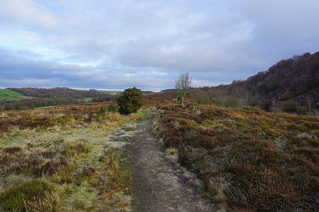
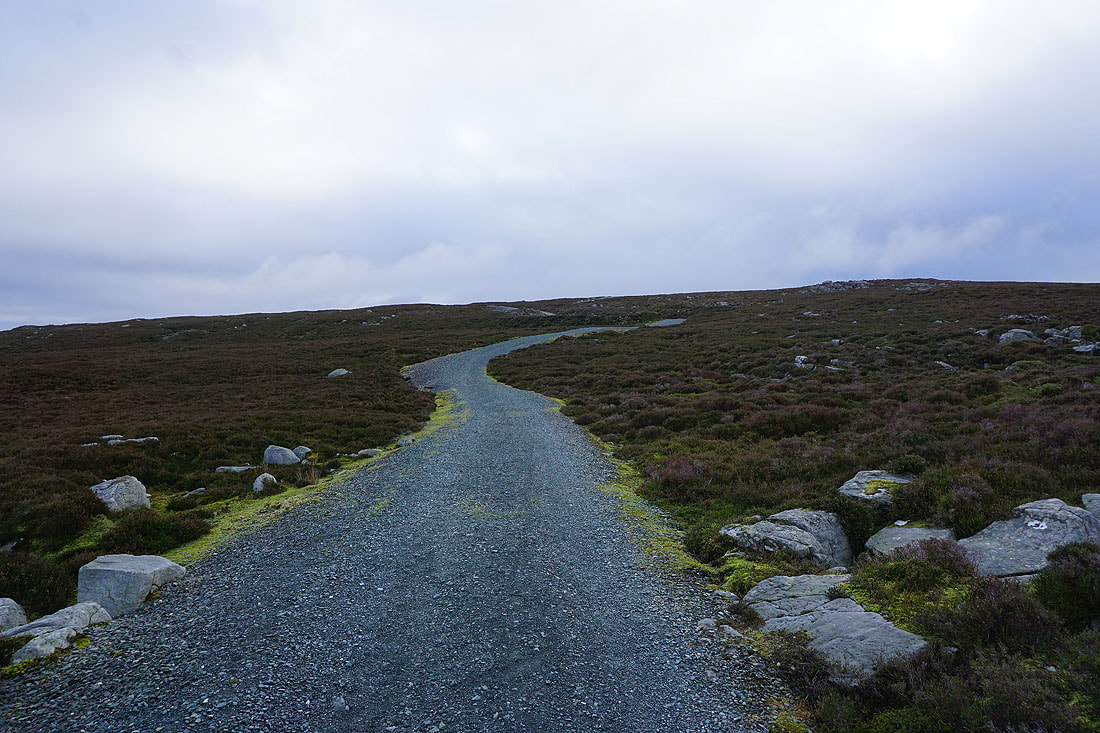
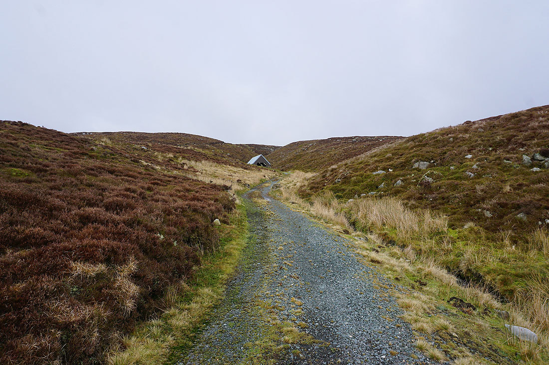
On the path across Birk Bank..
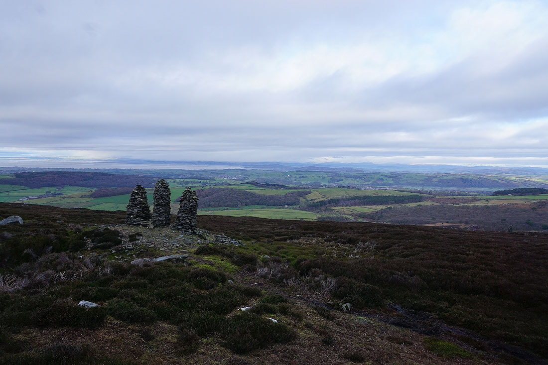
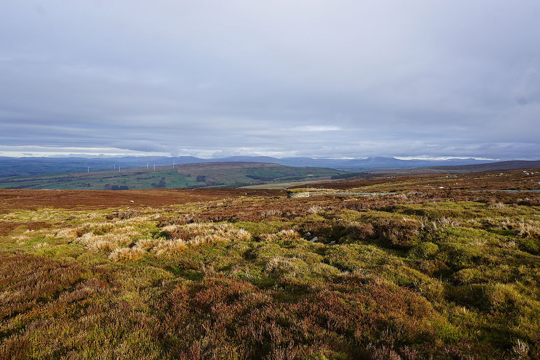
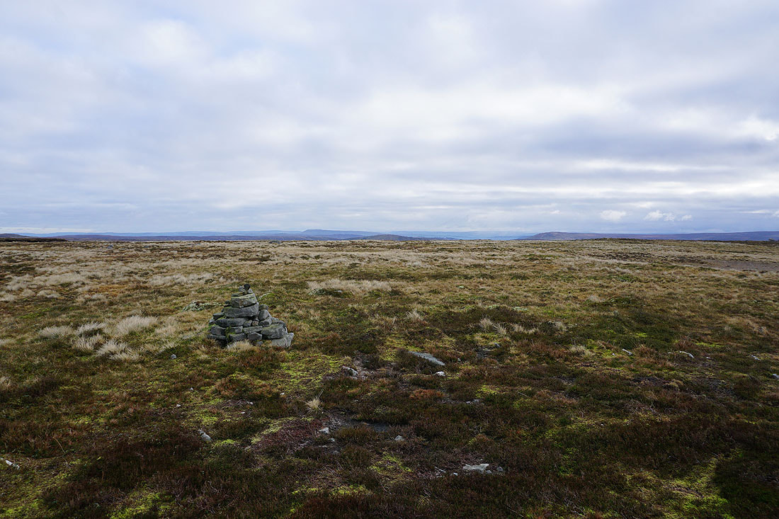
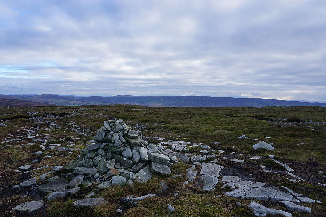
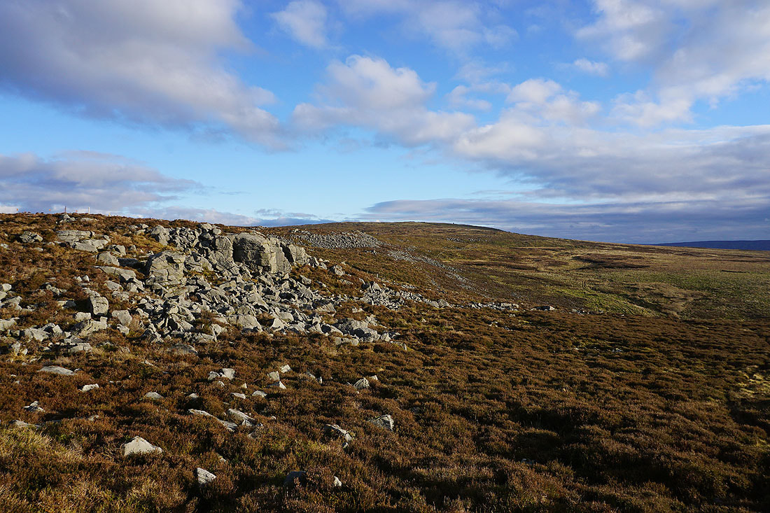
Three cairns not far from track up the back of Clougha Pike give me a view across Morecambe Bay to a cloud covered Lake District
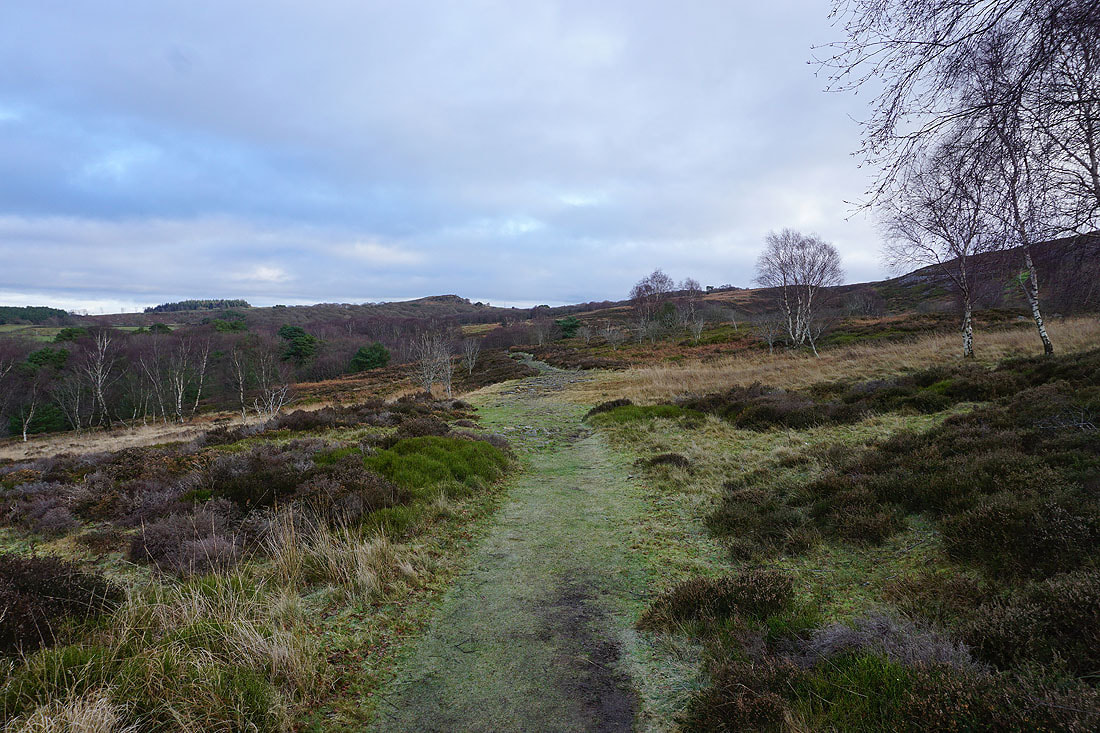
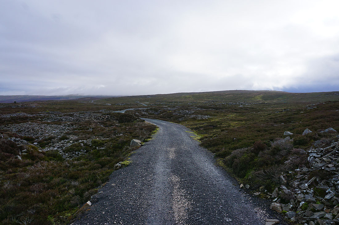
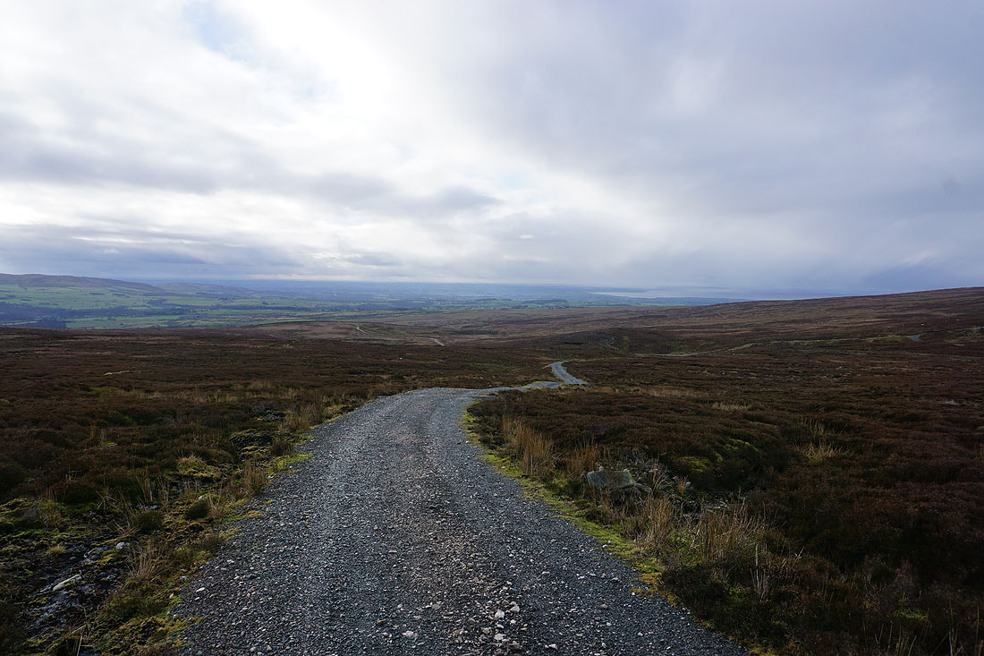
Following the track up to the gap between Ward's Stone and Grit Fell..
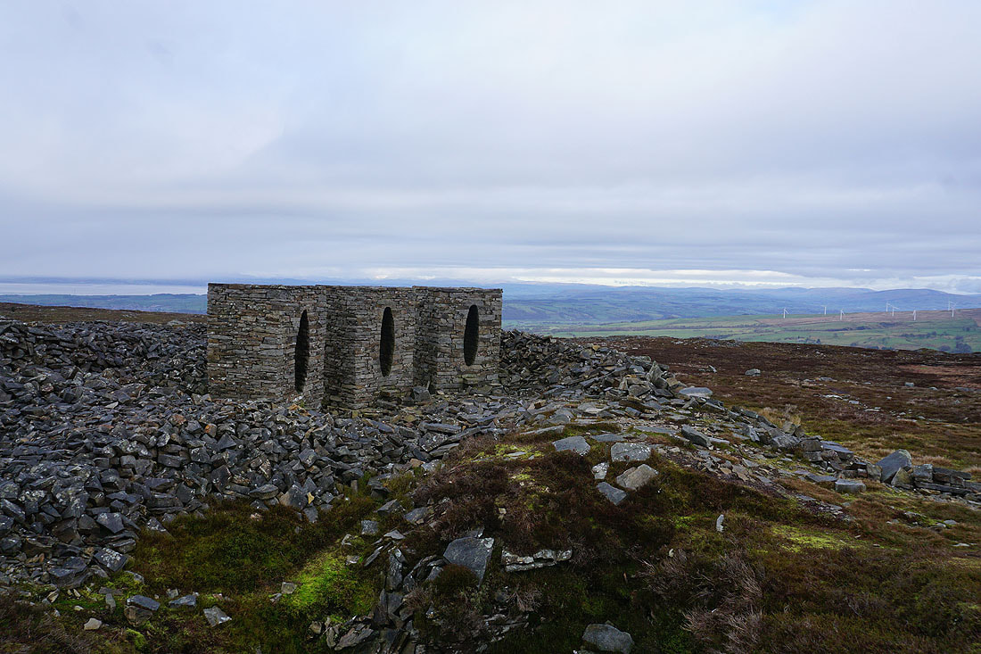
The Andy Goldsworthy art installation
Looking across to Whernside, Ingleborough and Penyghent in the Yorkshire Dales. Brighter skies seem to be on their way..
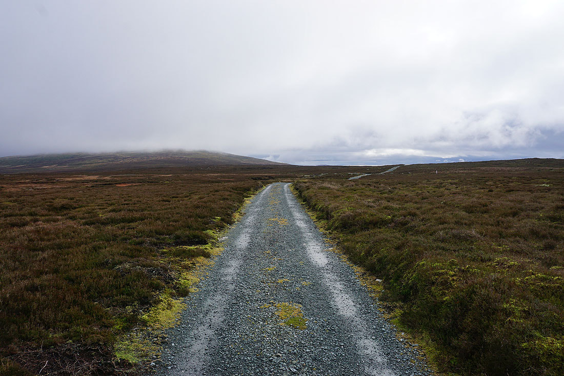
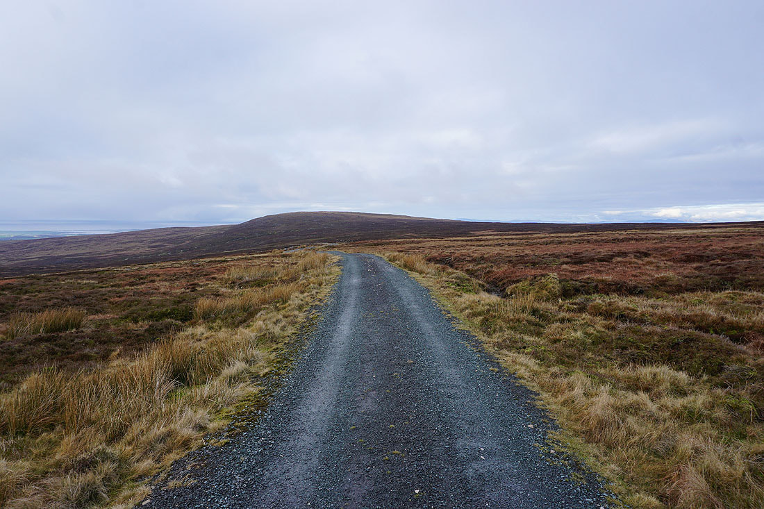
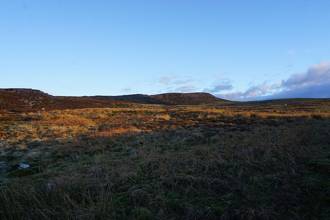
Approaching the top of the track. Ward's Stone on the left still has it's summit covered in cloud.
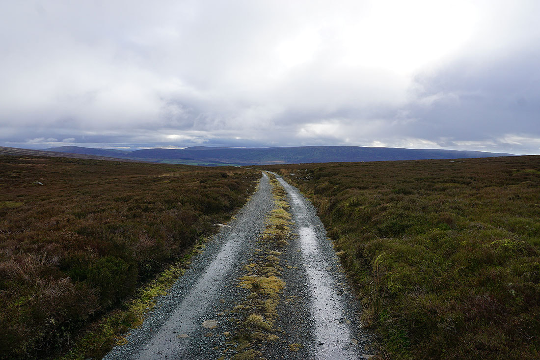
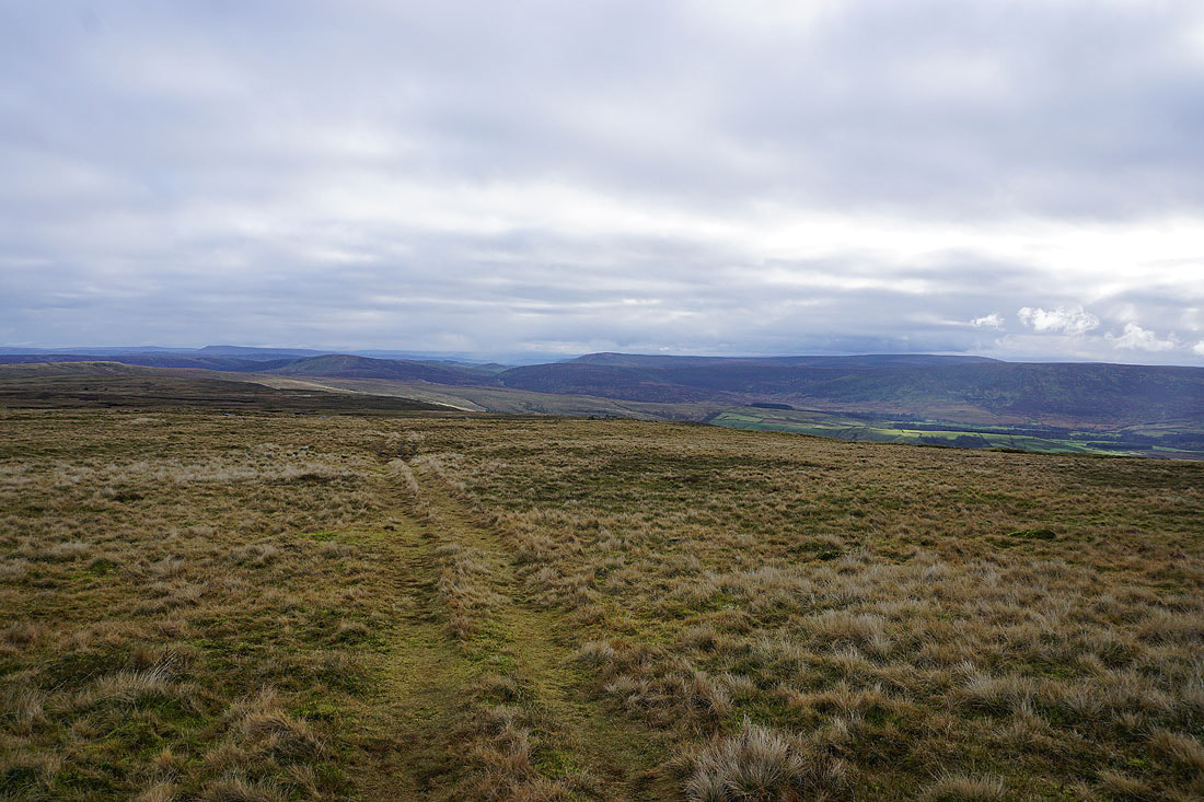
Hawthornthwaite Fell on the other side of Wyresdale appears ahead as I cross the gap between Ward's Stone and Grit Fell
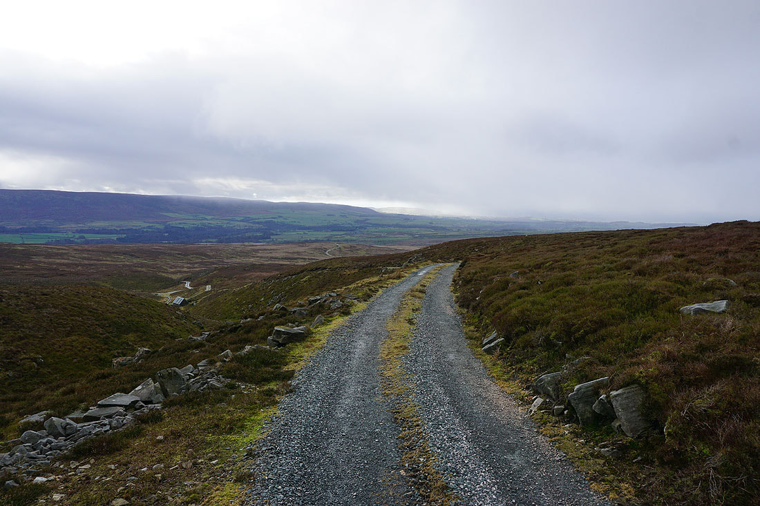
Following the track down into Wyresdale and I'm going to stop at the shooting hut below on the left. Sat against it I'll have some shelter from the cold wind and the drizzly showers that are passing through.
Leaving the shooting hut behind, I return to the track, and take the one that heads east across the southern slopes of Ward's Stone
Looking down Wyresdale to the coast
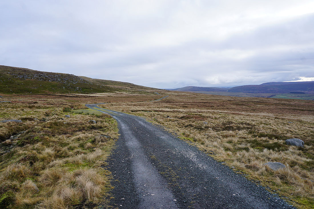
and across to Grit Fell as I follow the track east
After passing the crag on the left I'll leave the track and head uphill towards the western trig point on Ward's Stone
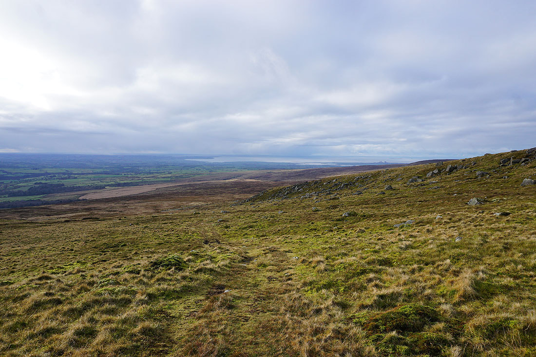
From the quadbike track that I'm following I get a view down Wyresdale to the coast and the Lune estuary
and across to the fells around the Trough of Bowland
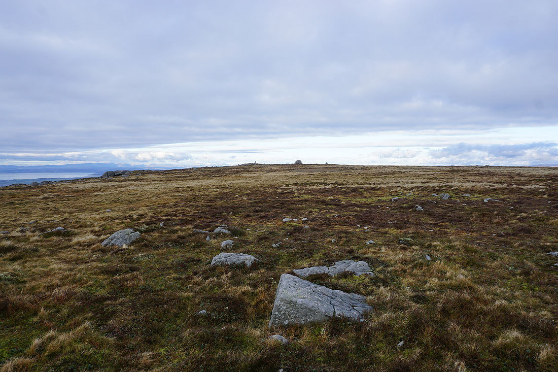
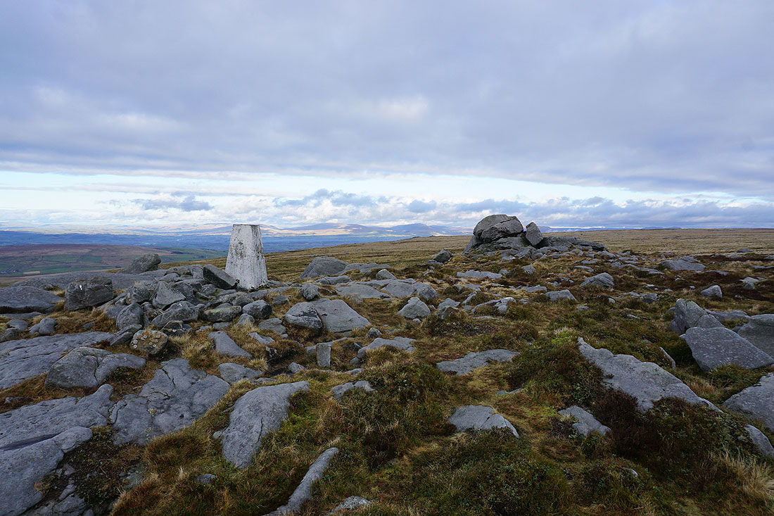
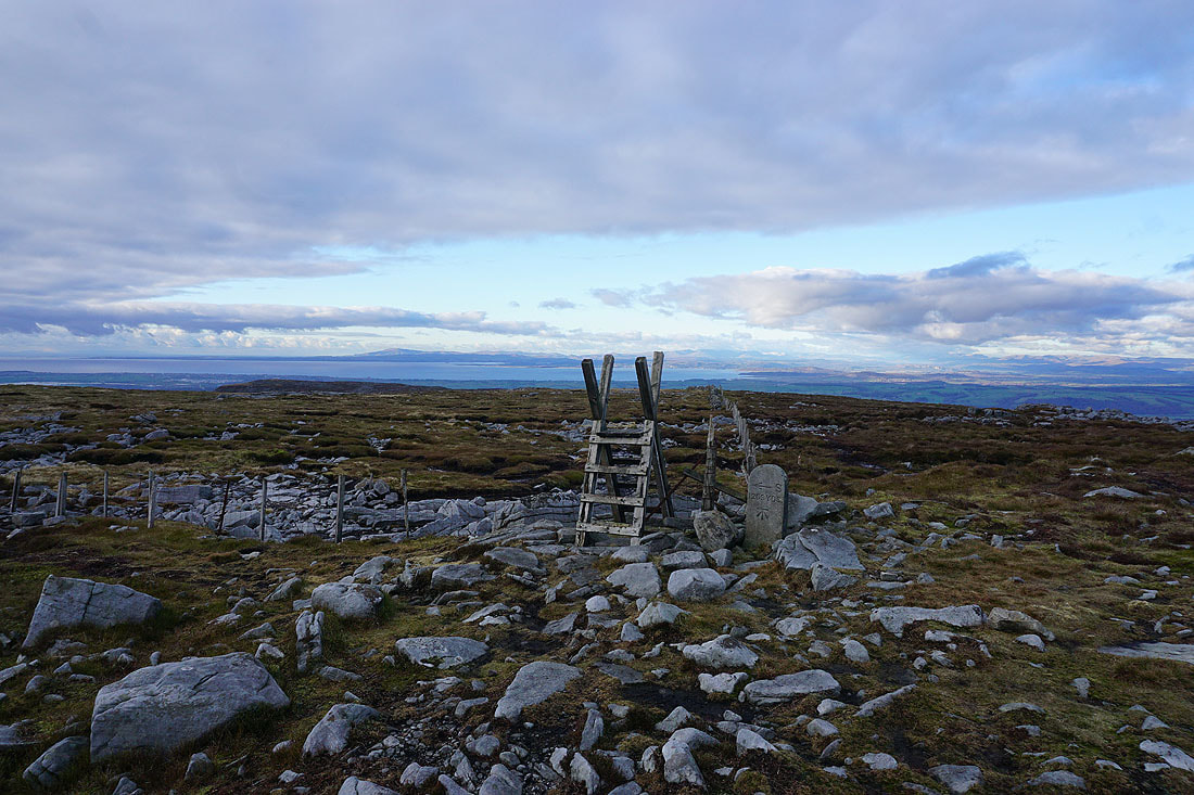
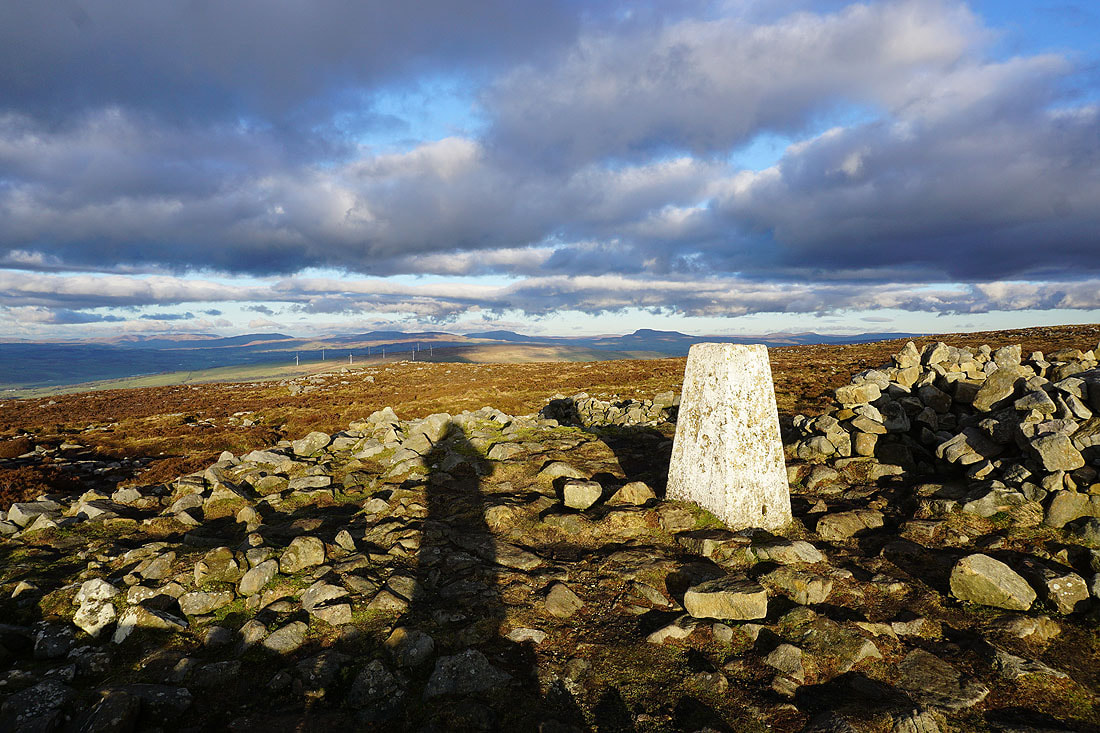
The trig point appears ahead, along with Ward's Stone, the large outcrop of rock to its right
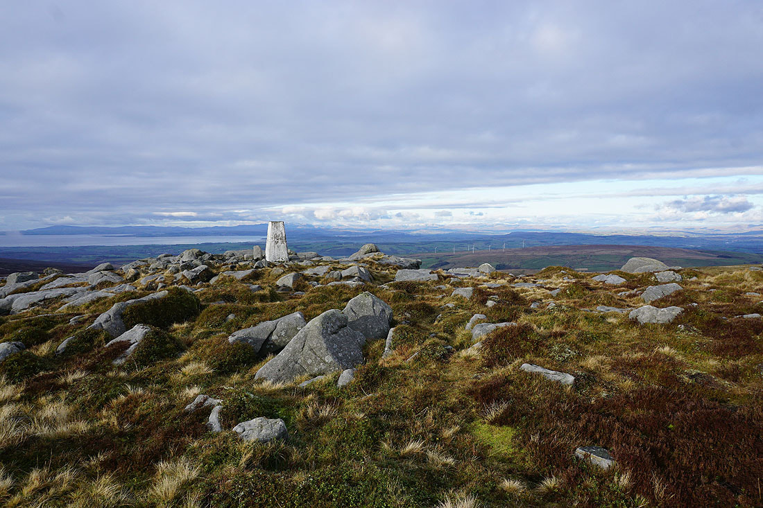
At the western trig point on Ward's Stone. It looks like the weather is finally improving.
Looking northeast to Great Coum and Whernside in the Yorkshire Dales
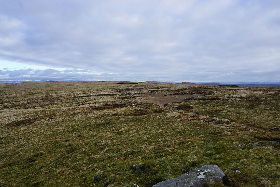
The broad top of Ward's Stone
Stood on Ward's Stone for a view west to the Fylde coast and the Lune estuary
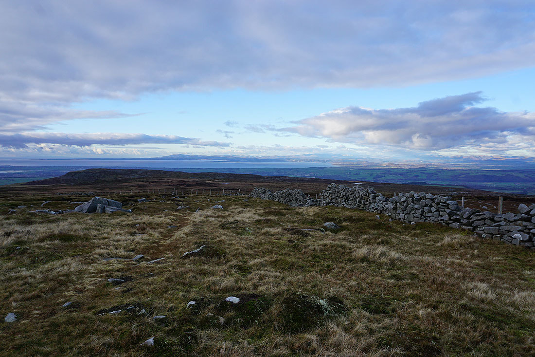
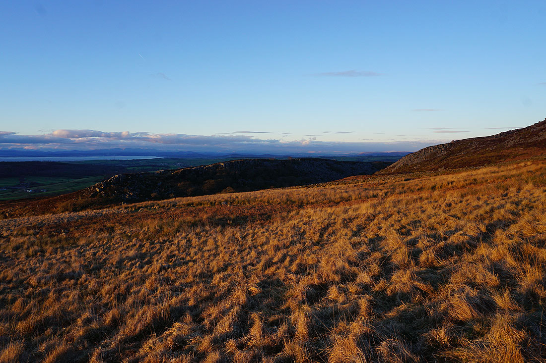
The South Pennines and Pendle Hill beyond the nearby Bowland fells
Finally, looking across Morecambe Bay to the Lake District
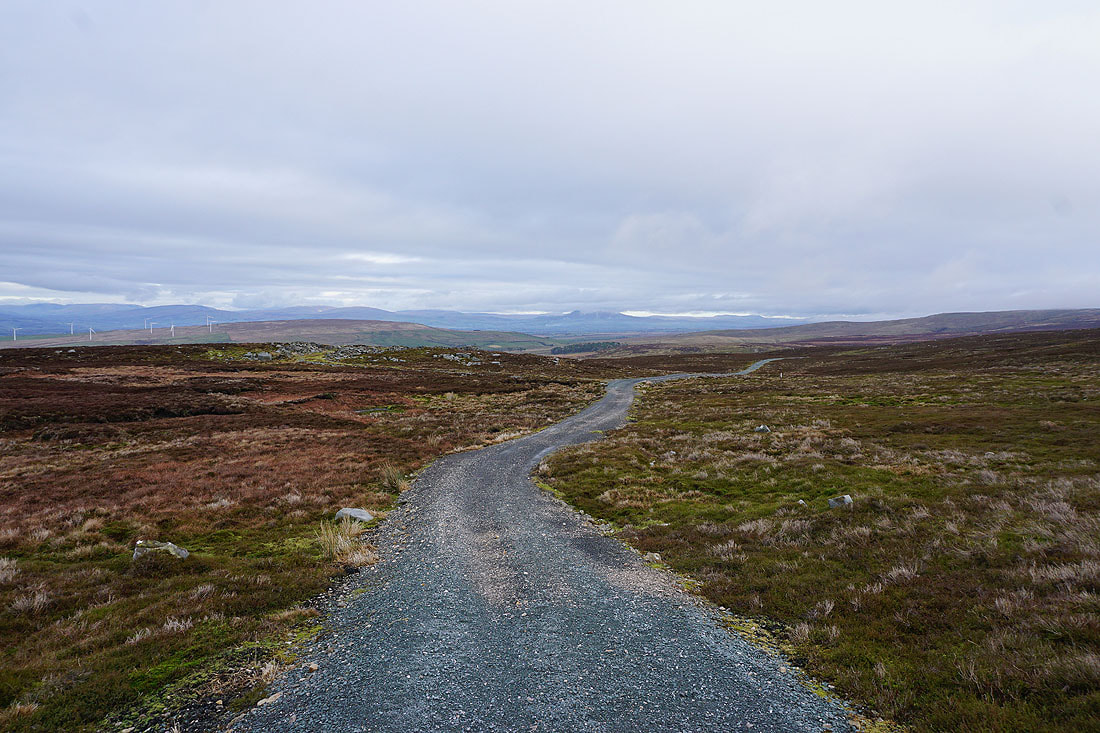
Leaving Ward's Stone I make my way west towards Grit Fell
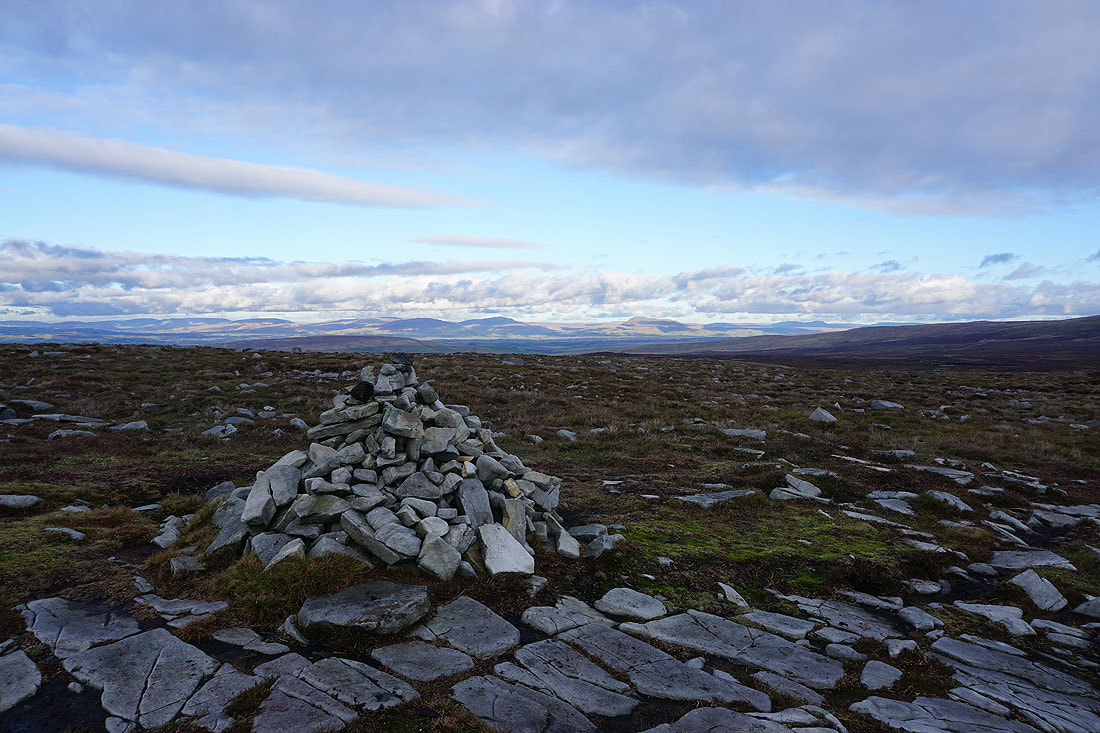
On the summit of Grit Fell. Sunshine on the Yorkshire Dales to the northeast.
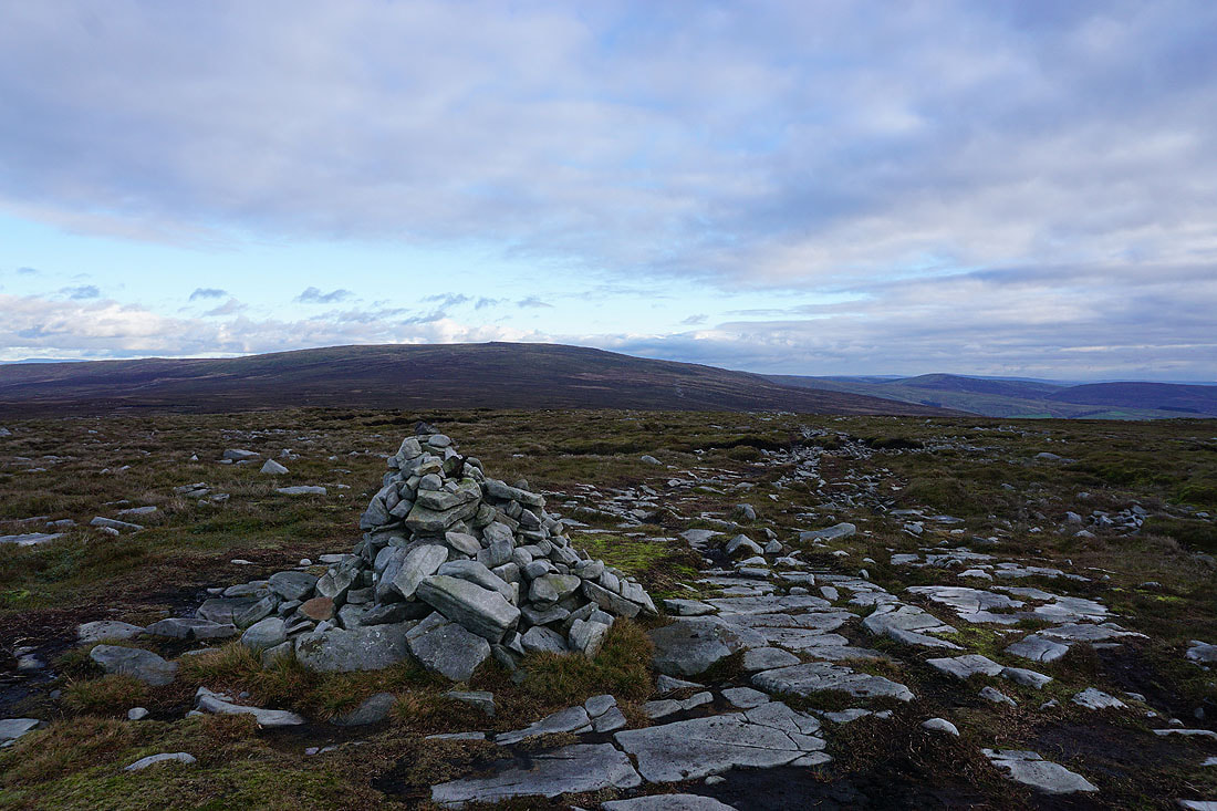
Ward's Stone to the east
The Trough of Bowland and Hawthornthwaite Fell on the other side of Wyresdale
I'll never get tired of seeing this view across to the Lake District
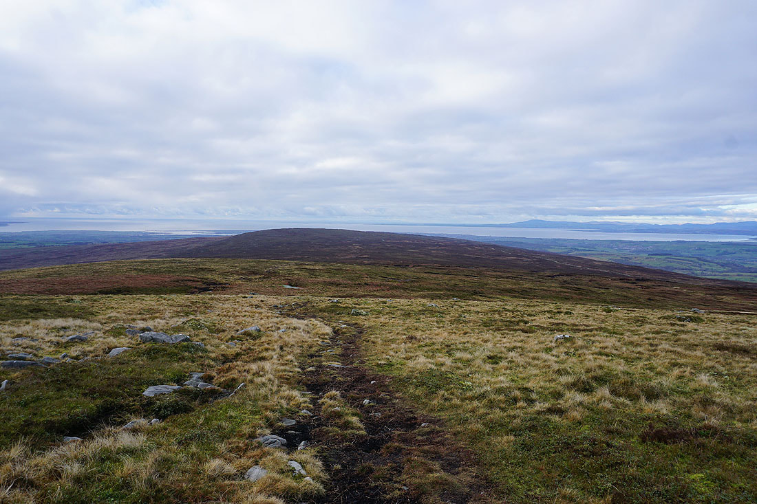
Heading for Clougha Pike
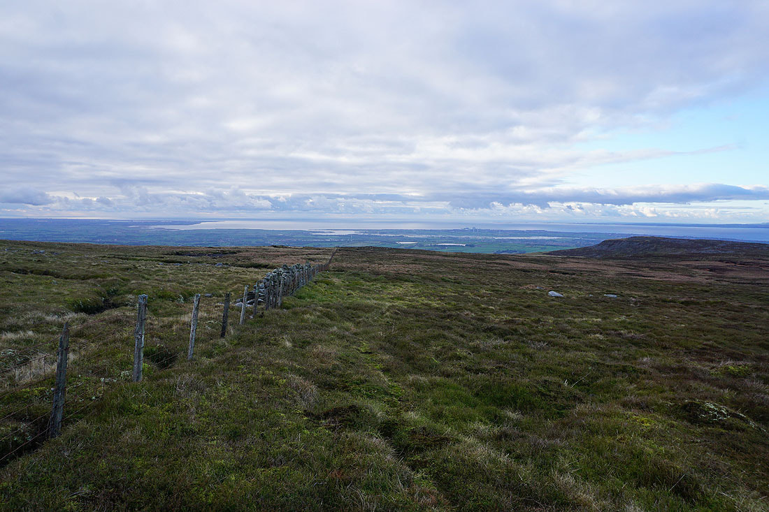
To my left, the estuary of the River Lune and Lancaster
Bowland grit. The brighter skies have arrived as I near Clougha Pike.
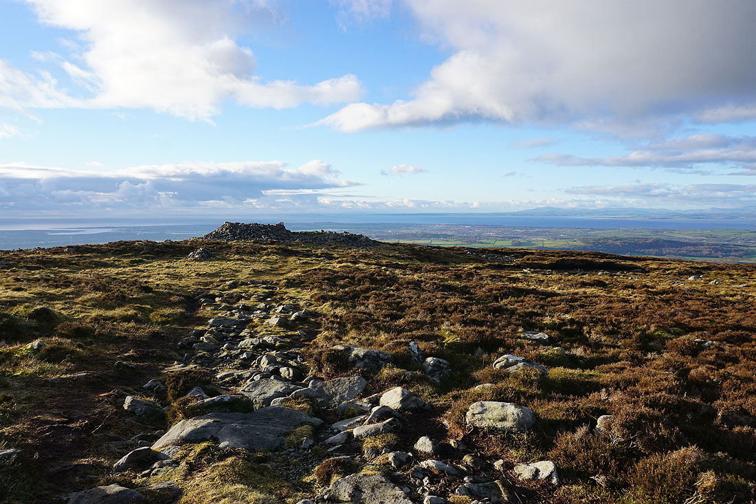
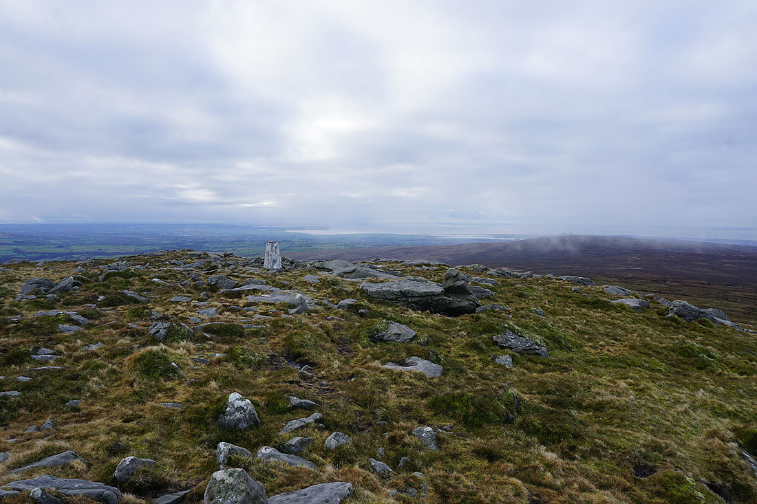
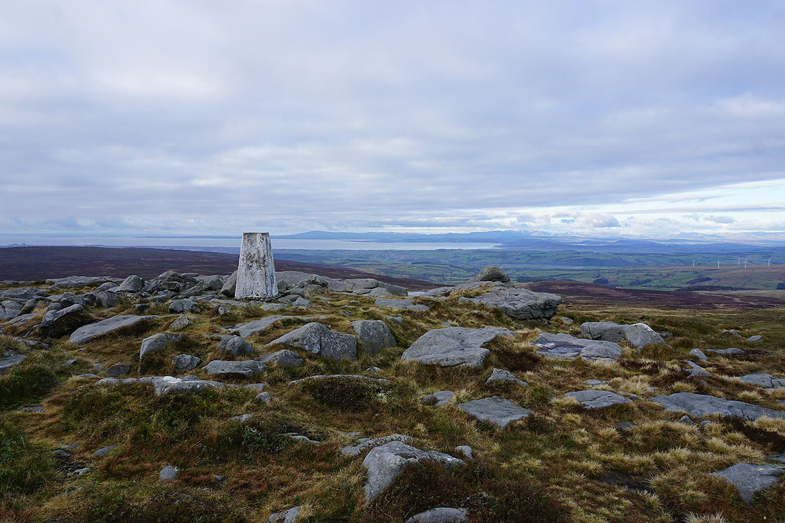
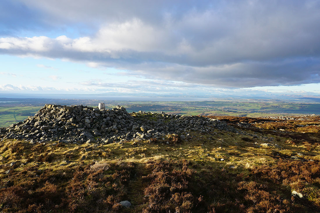
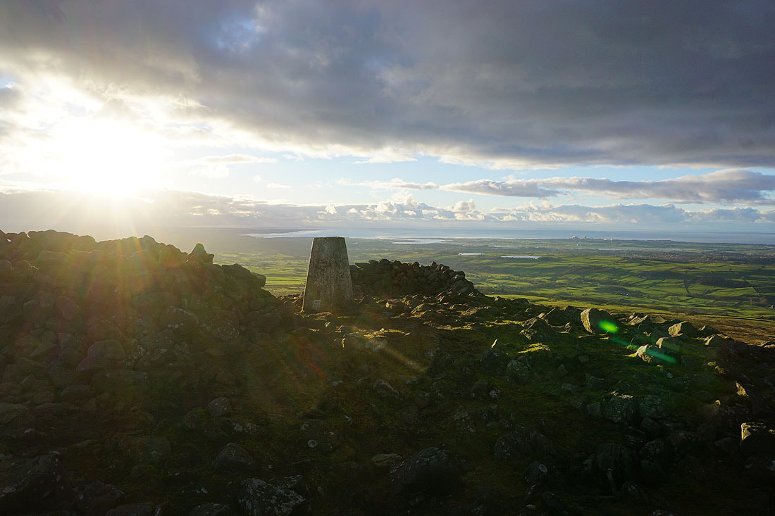
Approaching the shelter cairn and trig point on Clougha Pike. I'm looking forward to spending a bit of time here enjoying the view, especially since the weather has improved.
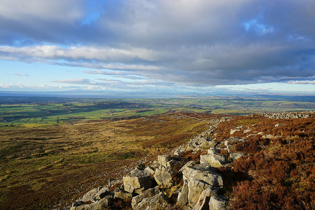
The view across Morecambe Bay to the Lake District fells is the definite highlight
The estuary of the River Lune
The Howgills, Middleton Fell, Great Coum, Gragareth, Whernside, Ingleborough and Penyghent in the Yorkshire Dales
A couple more photos of the view across Morecambe Bay..
Looking towards the Fylde coast
The estuary of the River Lune and Lancaster from the trig point
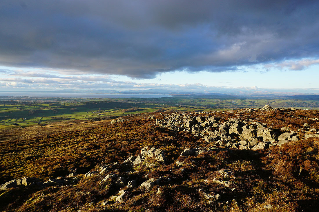
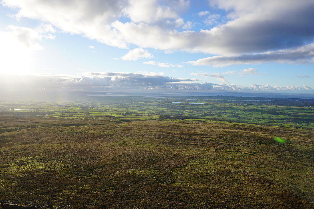
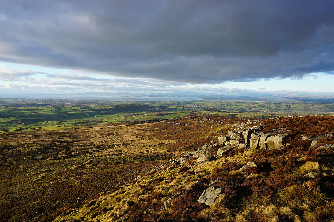
Looking across Morecambe Bay to the Lake District, and to the Yorkshire Dales from Clougha Scar..
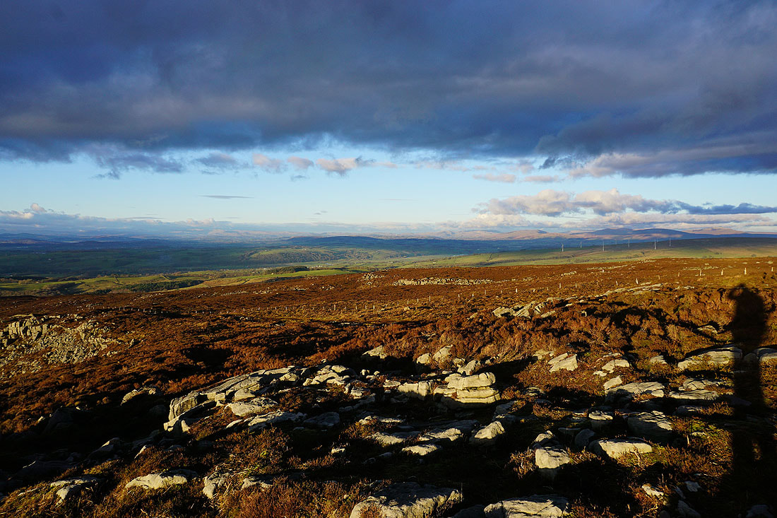
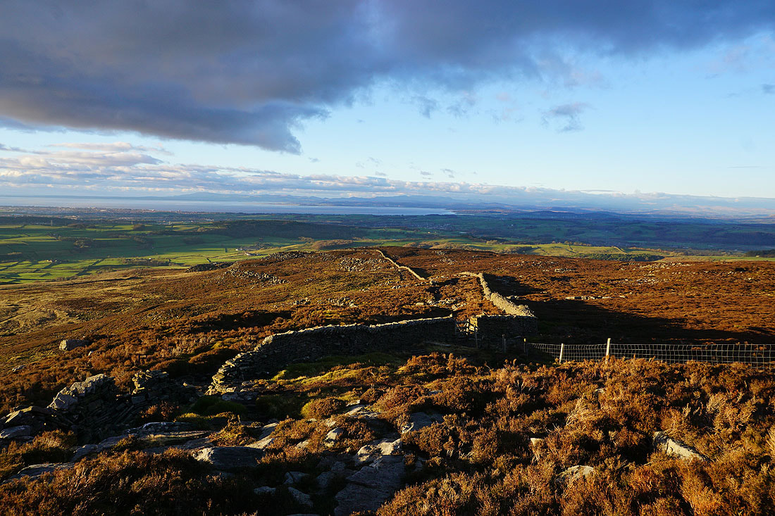
Heading down Clougha Scar
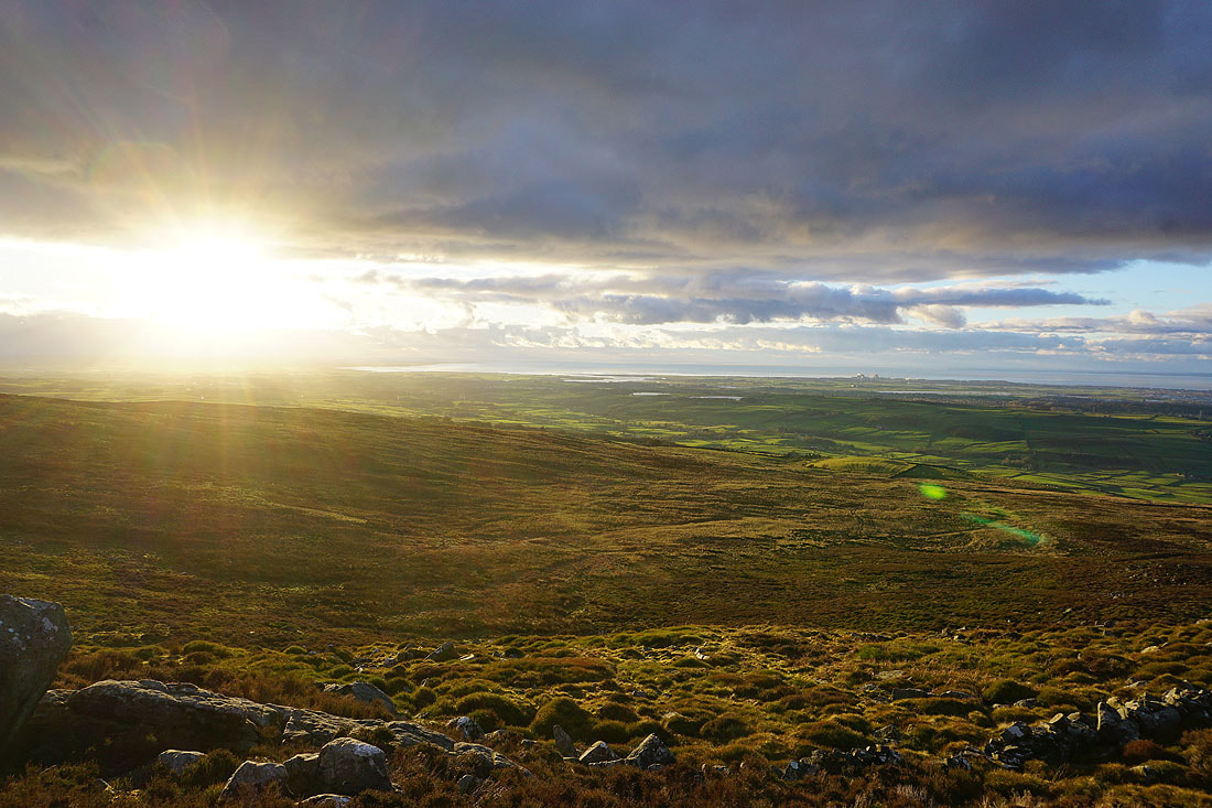
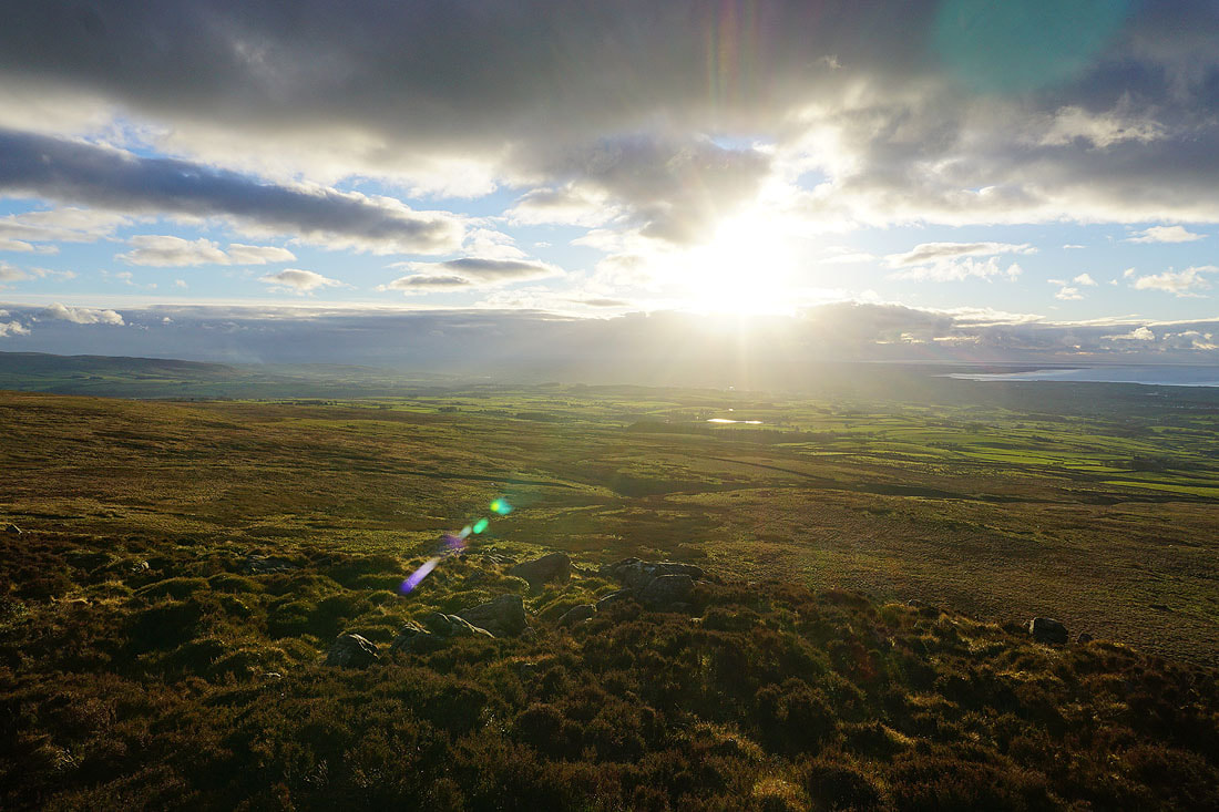
The sun starts to set over the Irish Sea
Looking back to the top of Clougha Pike
The setting sun gives a russet colour to the moorland above Windy Clough
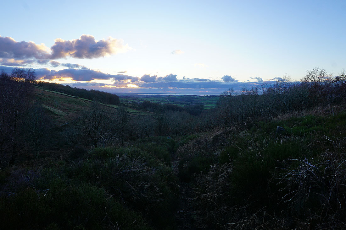
Descending into the woodland on Birk Bank as I head back to the car park