14th July 2013 - Kinder Downfall
Walk Details
Distance walked: 8.6 miles
Total ascent: 2167 ft
OS map used: OL1 - The Peak District, Dark Peak area
Time taken: 6 hrs
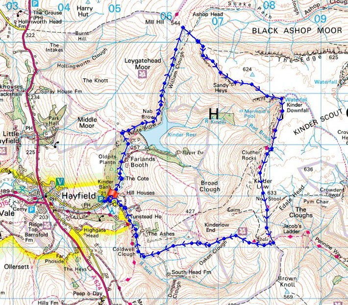
Route description: Bowden Bridge car park-Kinder Road-Kinder Reservoir-William Clough-Kinder Downfall-Kinder Low-Edale Cross-Coldwell Clough-Bowden Bridge car park
I had a choice of days to walk on this weekend but yesterday was really hot and humid and the forecast for today was to be a little less hot but also less humid. It turned out to be a beautiful summers day with a strong breeze that made it comfortably warm. The haze in the morning cleared to give great views. My youngest brother Andy joined me today.
From the car park at Bowden Bridge we set off up the Kinder Road to reach Kinder Reservoir. We then continued our ascent up William Clough. The next section of the walk was along the edge of Kinder Scout to Kinder Downfall then to the trig point on Kinder Low. Our route back took us back via the bridleway past Edale Cross and down past Coldwell Clough.
Route map
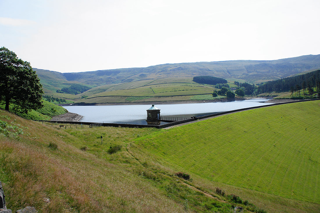
After walking up the Kinder Road, Kinder Reservoir comes into view
The skyline above is where we'll be walking later in the day
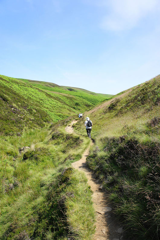
Heading up William Clough. It was really hot out of the breeze.
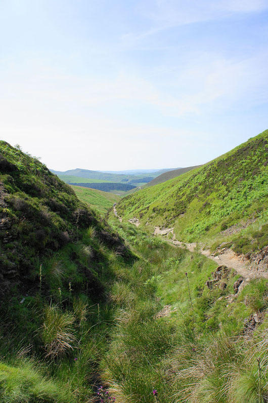
Looking back down William Clough
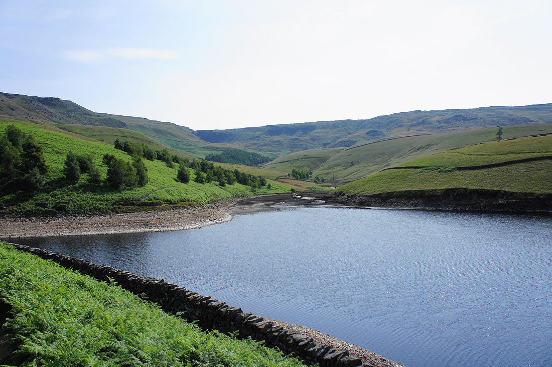
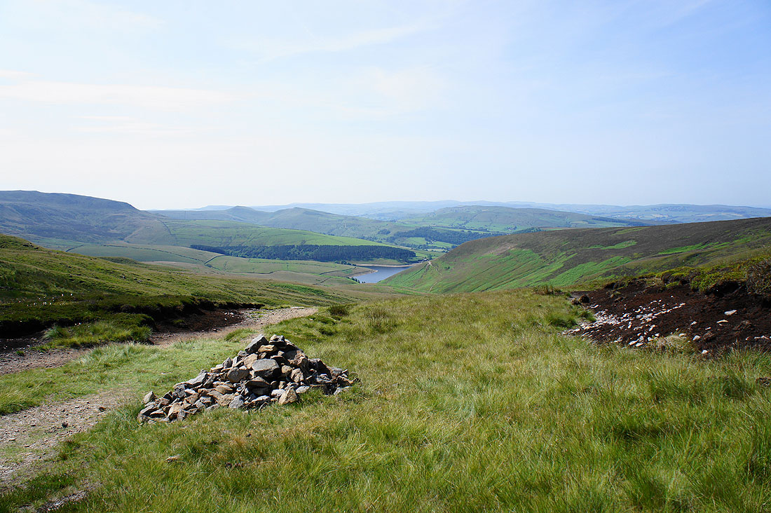
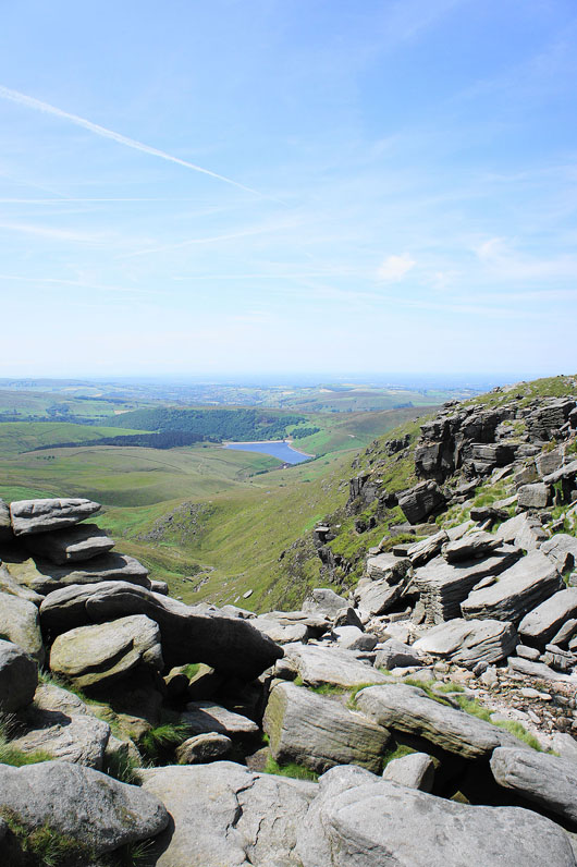
Kinder Reservoir below as we finally arrive at the top of William Clough
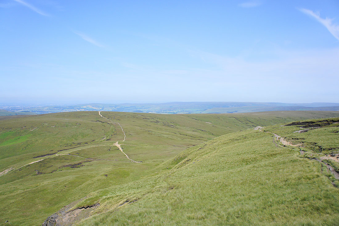
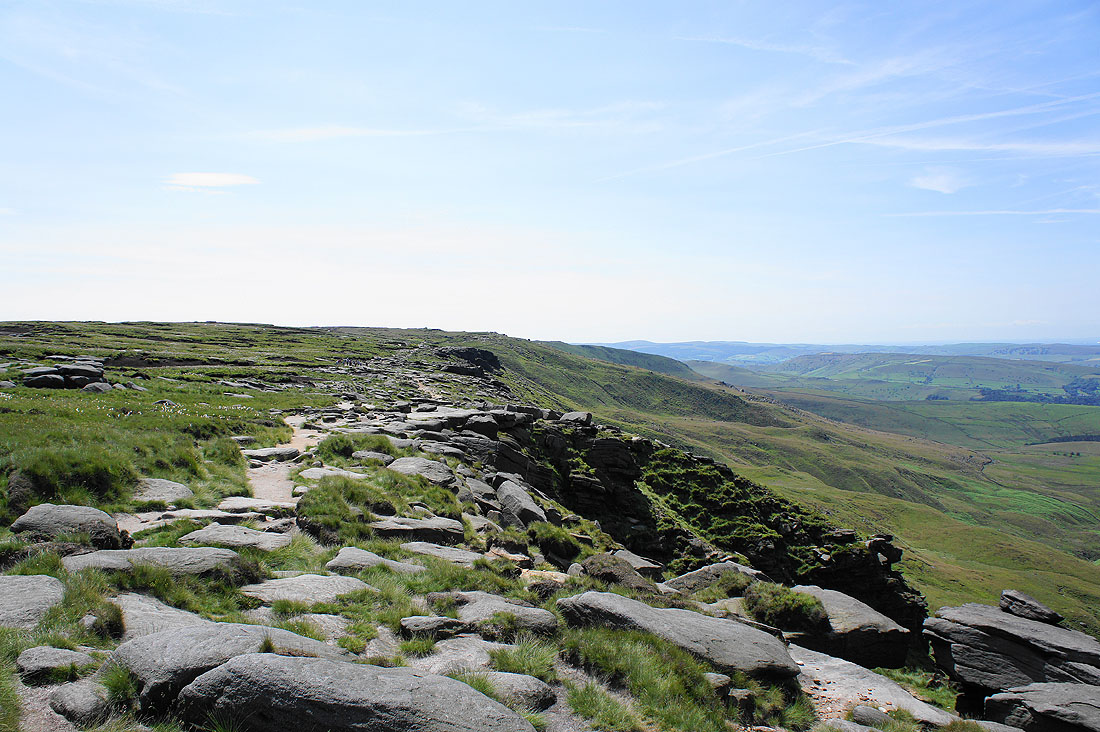
Onto the edge of Kinder Scout. The obvious path is the Pennine Way heading up onto Mill Hill. The Saddleworth Moors are the hills in the distance.
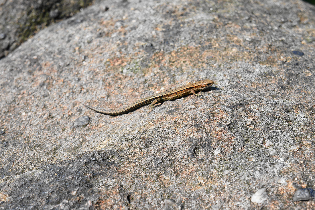
A common lizard sunning itself
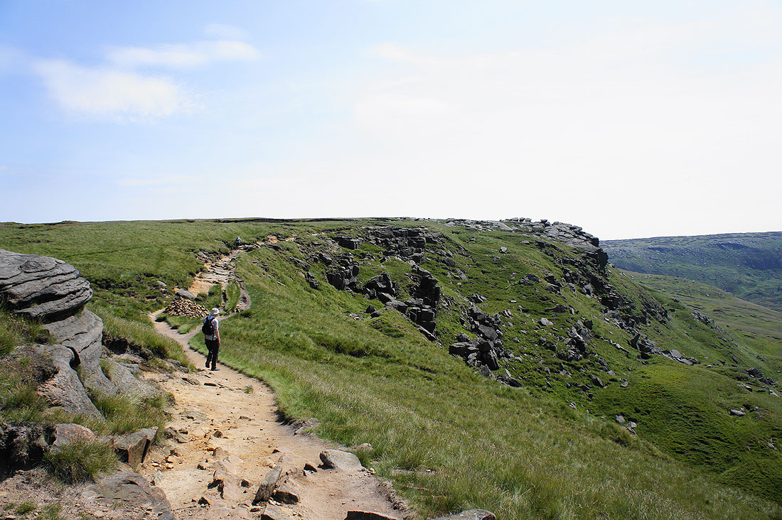
On the edge path to Kinder Downfall
The view from the edge
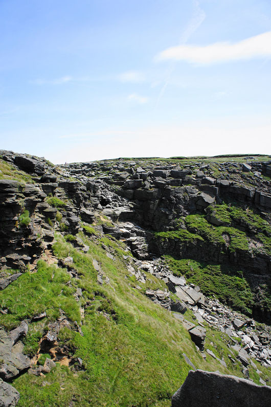
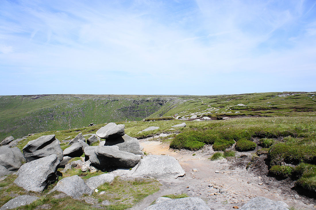
Kinder Downfall. There was barely a trickle.
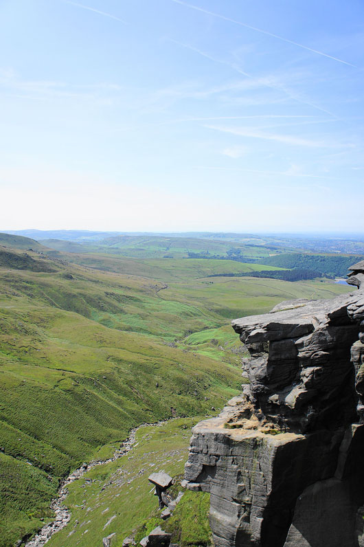
A couple of shots of the River Kinder below as it heads for Kinder Reservoir..
Back on the edge path to Kinder Low
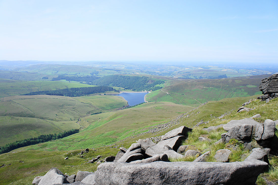
Looking back towards Kinder Downfall..
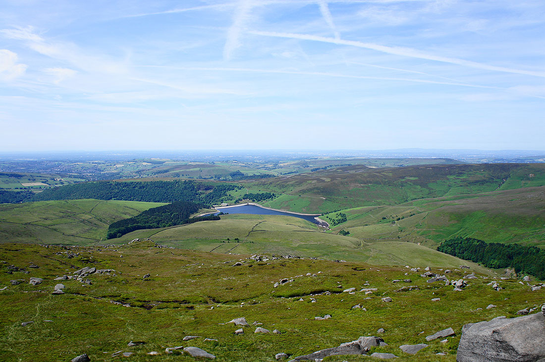
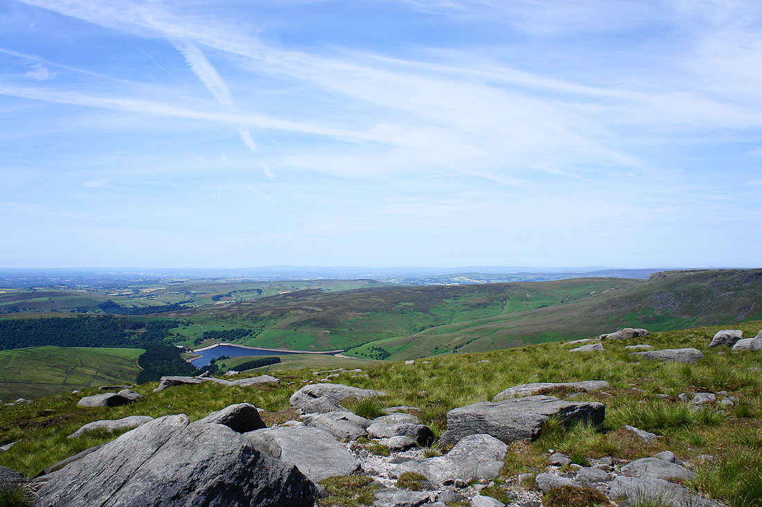
..with Kinder Reservoir below and Lantern Pike and Cown Edge the hills before Manchester is reached
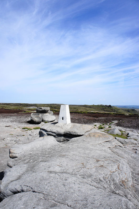
The trig point on Kinder Low
The gritstone outcrops to the west of Kinder Low offer a great view in that direction. On the horizon beyond the nearby Peak District hills is Winter Hill and the West Pennine Moors.
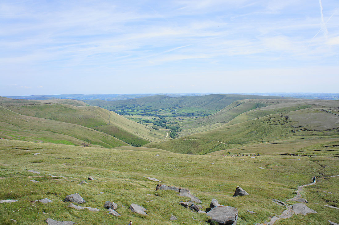
Views from Edale Rocks. The Vale of Edale. This path above the head of Edale will take us to the bridleway past Edale Cross for our route back.
Combs Edge and Shining Tor in the distance with South Head and Mount Famine nearby on the right
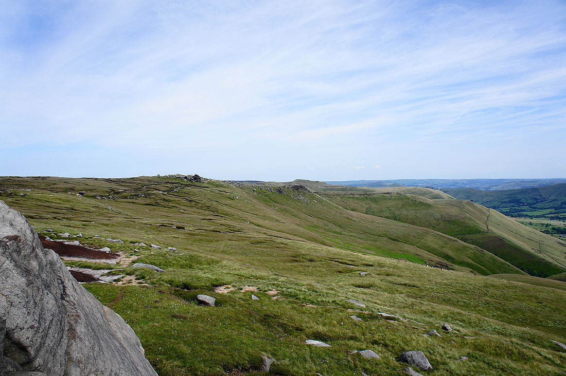
The gritstone outcrops on the southern edge of Kinder Scout
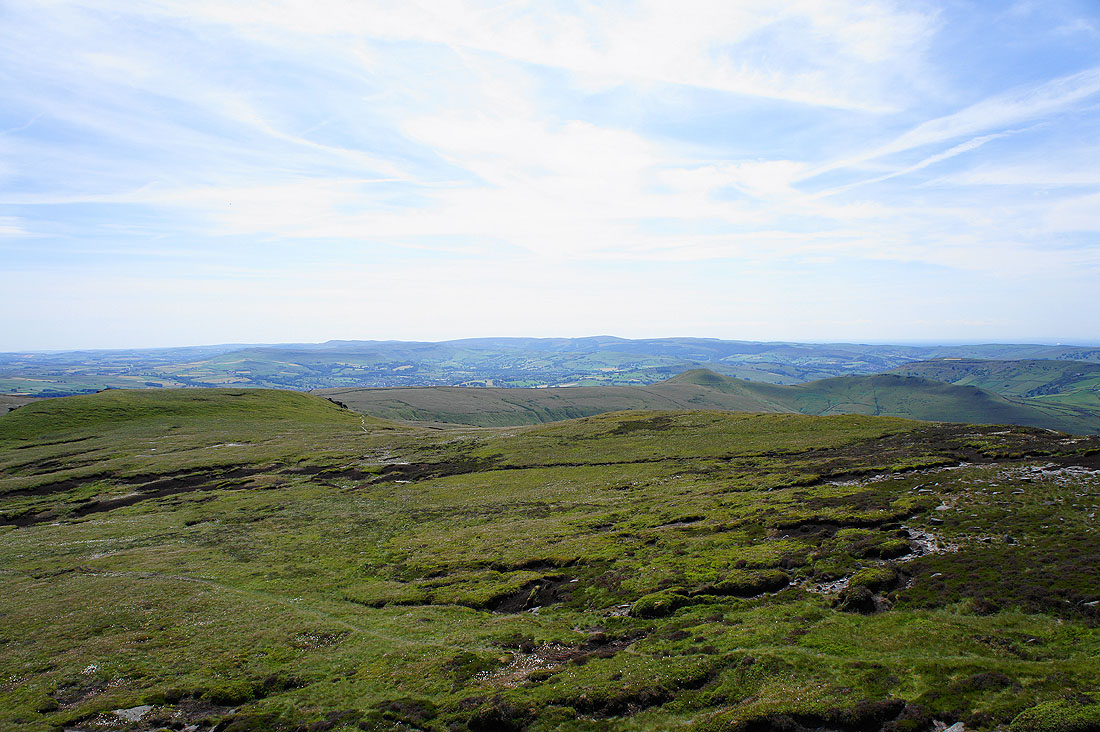
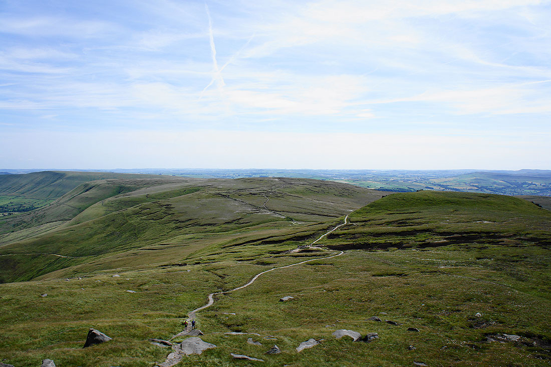
Brown Knoll in the centre of the picture with the ridge heading left to Lord's Seat
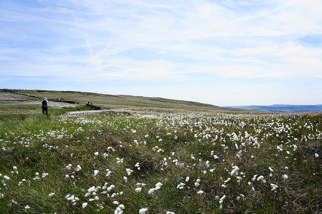
Cotton grass dancing in the breeze
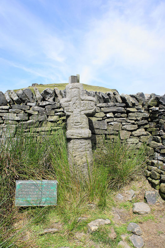
Edale Cross
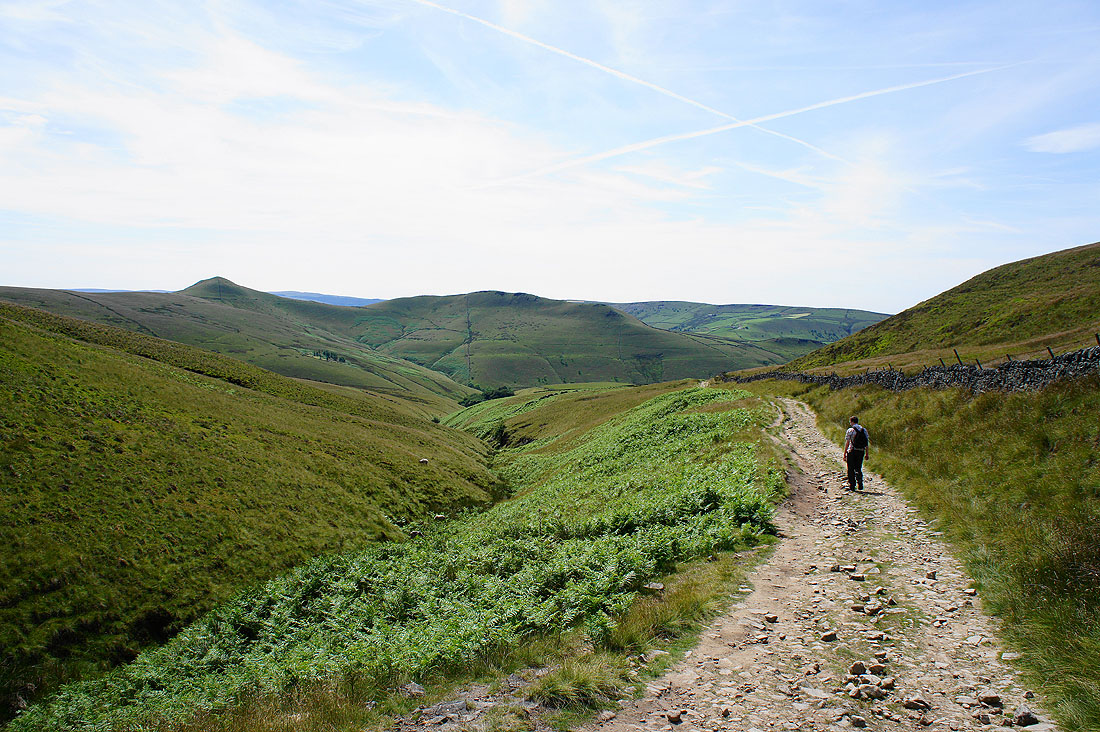
On the bridleway back to Bowden Bridge. South Head and Mount Famine are the two hills on the left.
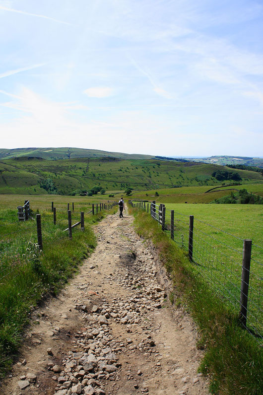
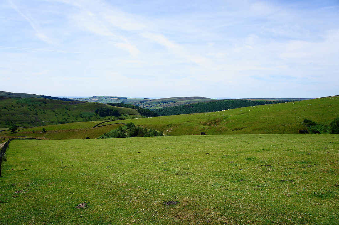
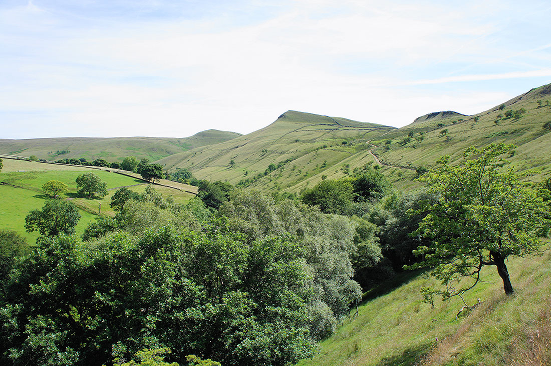
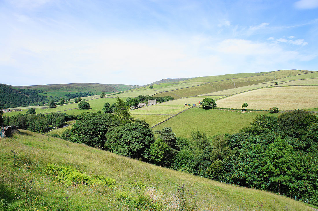
Great views of the surrounding countryside as we head back down....
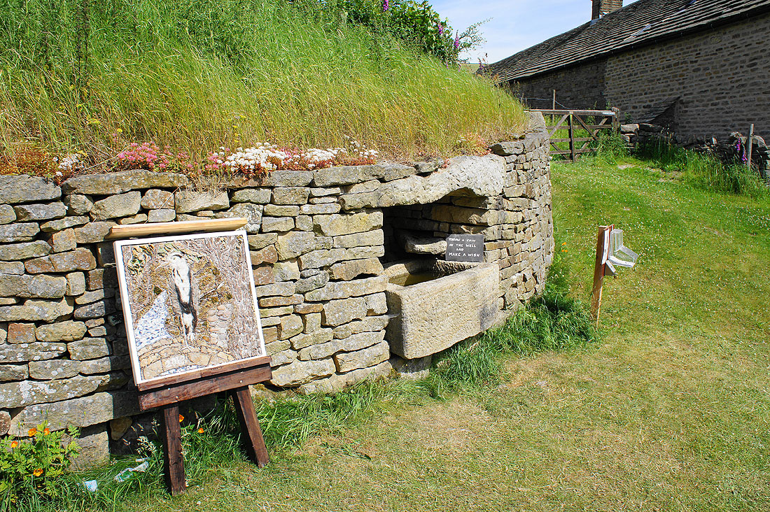
The Hayfield Well Dressing Week is running from 6th July to 14th July so I've been lucky to see its last day. This is the well at Hill Houses.
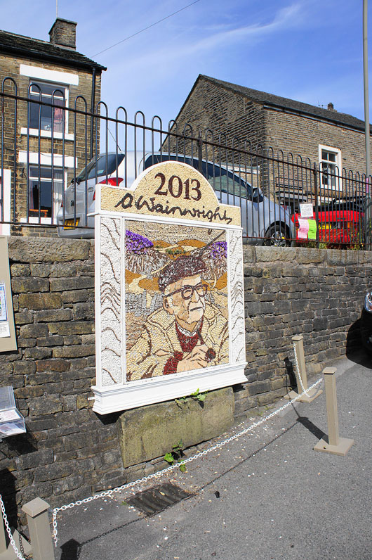
The dressing on the main well in Hayfield. Very appropriate for the subject matter of this website.
