14th July 2018 - Lunesdale from Hornby
Walk Details
Distance walked: 11.1 miles
Total ascent: 800 ft
OS map used: OL2 - Yorkshire Dales, Southern & Western areas and OL41- Forest of Bowland & Ribblesdale
Time taken: 5 hrs
Route description: Hornby-Meal Bank Bridge-Meal Bank Farm-Agnes Ing Lane-Park Lane-Tatham Bridge-Tatham-Lodge Farm-Lodge Lane-Melling Moor-Wrayton-Greta Bridge-River Greta-River Lune-Holme Head Farm-Loyn Bridge-River Lune-River Wenning-Hornby
Back in the summer of 2014 I did a few riverside themed walks taking in various bits of the rivers Hodder and Ribble in the Ribble Valley. I also came up with this route at the time that would take in the Lune and a few of its tributaries in Lunesdale. It took me four years but I finally remembered and gotten around to doing it. It's a walk that I thoroughly enjoyed doing and would recommend, though with a few caveats. The route was a bit tricky to keep to in places as footpath signage wasn't very clear at times and the paths are little used in places; cattle could be an issue, at one point I had to make a diversion to get away from them, and if there's been a lot of wet weather then flooding could be problem. Certainly not at the moment though, the river levels were low and the ground bone dry. It almost goes without saying that I had another fine summer's day for this walk.
From the car park in Hornby I crossed the main road and took the footpath that heads east to a bend in the River Wenning, then briefly along a track before heading east across farmland to a bend in the River Hindburn and to the bridleway of Bank Lane. I followed Bank Lane east to Meal Bank Bridge and the B6480. After crossing Meal Bank Bridge I took the footpath on the right up to Meal Bank Farm and Agnes Ings Lane. There was a brief walk east along the lane and then I took the footpath north across farmland to reach Park Lane, which I walked down to the B6480. I then crossed the road and Tatham Bridge and walked along the lane to the church of St. James the Less in Tatham. A footpath then heads north from the end of the lane to Lodge Farm, where I then had to go through the farmyard and along the farm access road to reach Lodge Lane. After walking down Lodge Lane towards Melling I took the byway that heads east across Melling Moor, then a footpath north across fields and through woodland to reach the village of Wrayton. A footpath on the other side of the road then took me to the A683 and Greta Bridge. I then followed the footpath by the south bank of the River Greta west from Greta Bridge to where it joins the Lune, then south to a byway to the viaduct carrying the railway line over the river. The footpath southwest and south from here was a bit tricky to keep to in places as it heads towards and then away from the Lune, and it was here where cattle gave me the most trouble. I had to leave the public footpath and use a track to escape them and get to Holme Head Farm. I got back onto a public footpath here which took me west to the road at Loyn Bridge. I then followed the footpath south by the east bank of the Lune and then that by the north bank of the River Wenning back to Hornby.
Route map
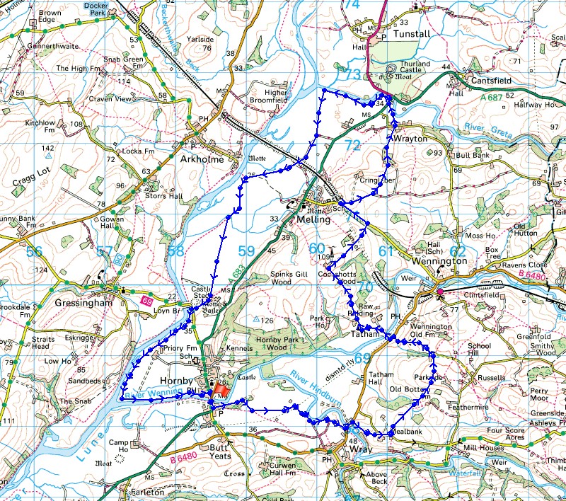
© Crown copyright. All rights reserved. License number PU 100034184.
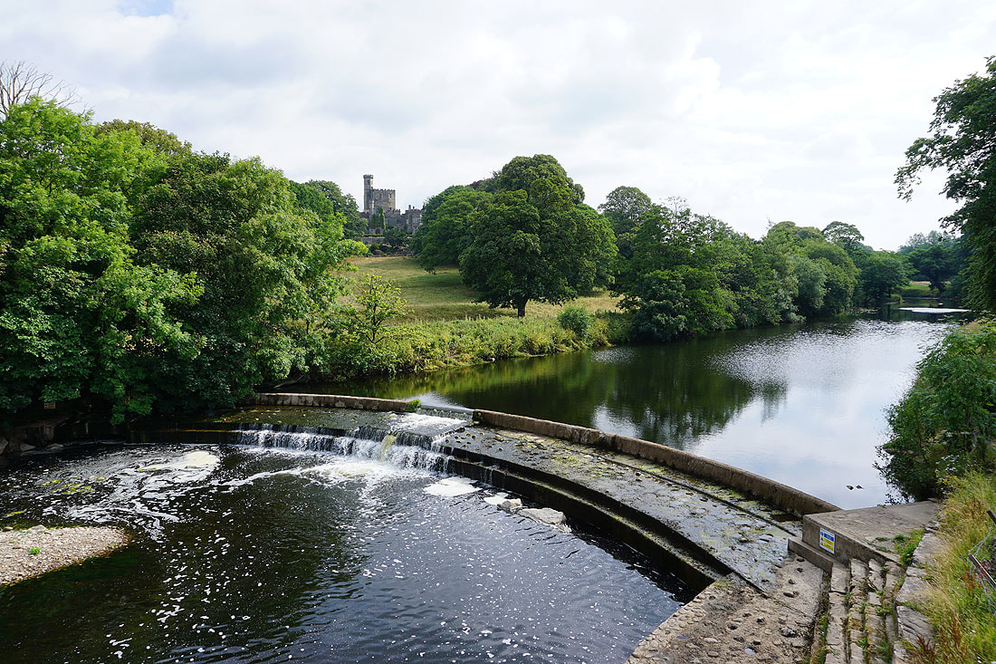
Before I set off, a photo of Hornby Castle above the River Wenning from Hornby Bridge
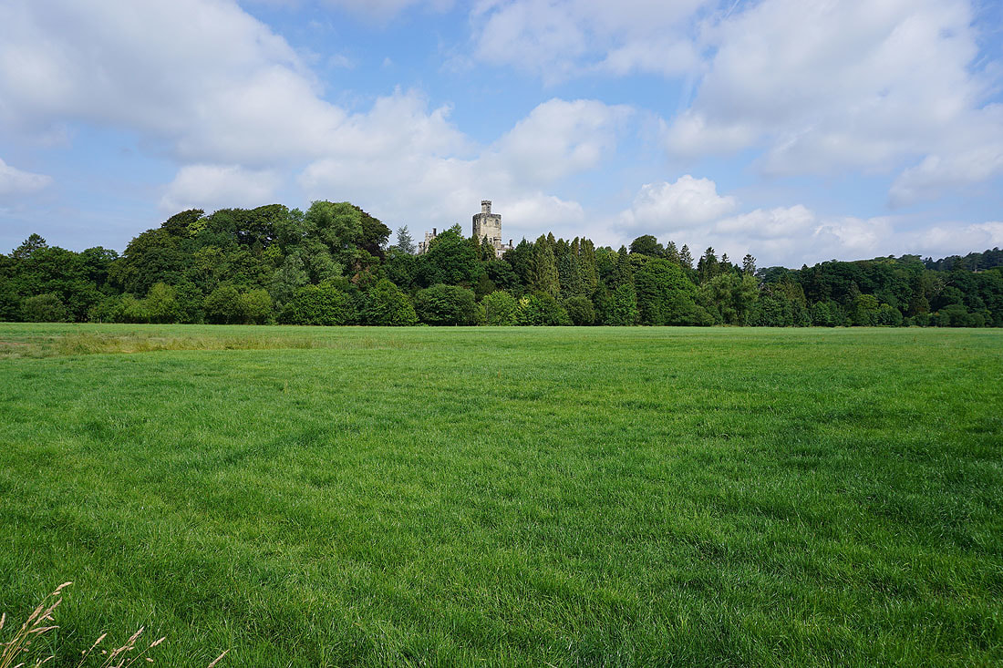
Hornby Castle above the trees as I follow the footpath east towards the River Hindburn
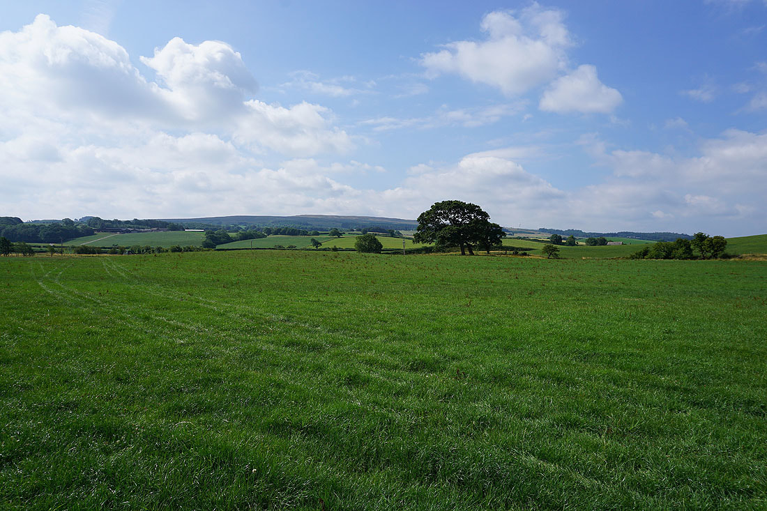
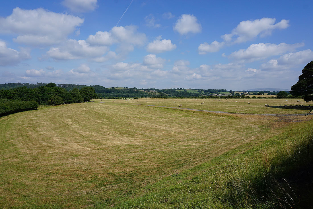
Caton Moor in the distance
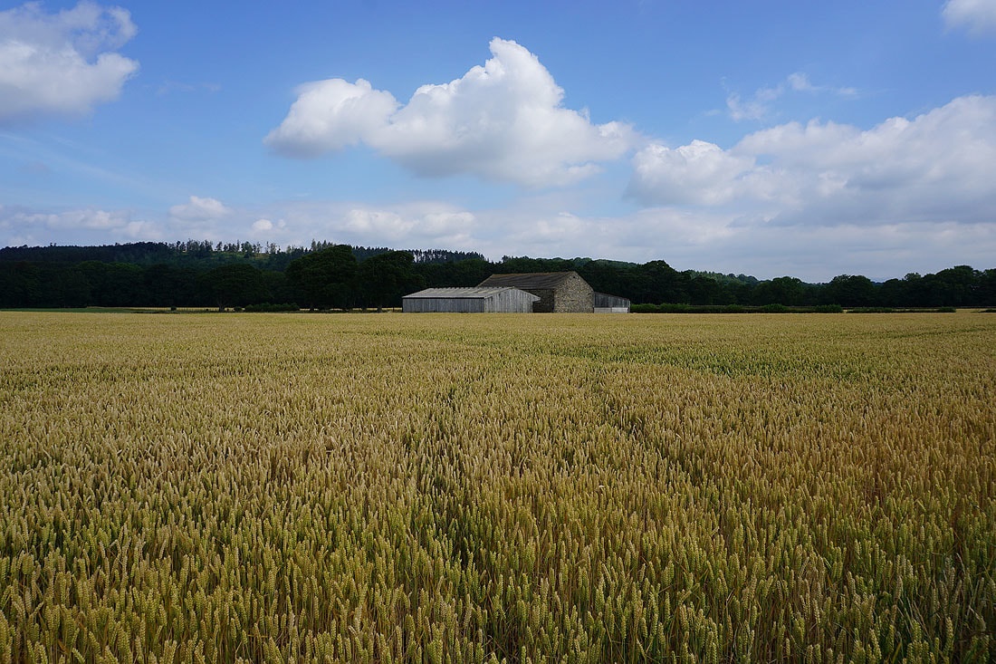
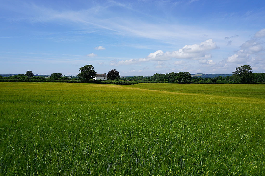
Field of barley and a barn
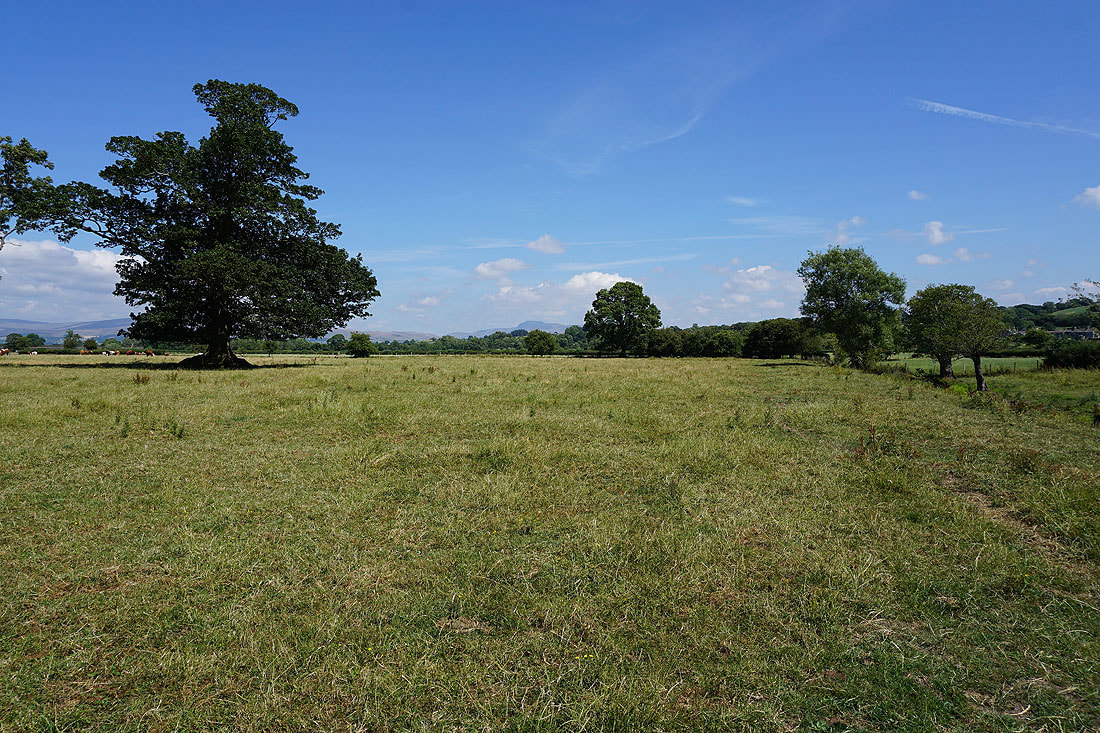
Looking back to Hornby
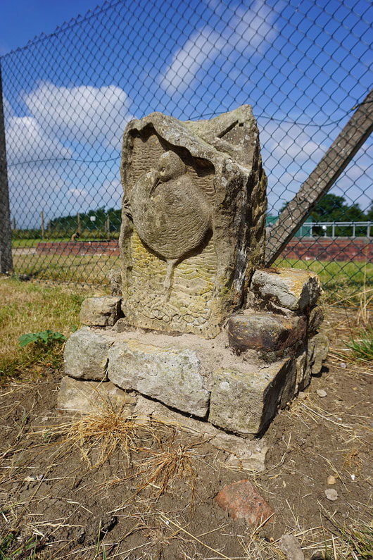
I passed this waymarker on the bridleway of Bank Lane. I'm guessing it's for some local trail.
The valley of the River Wenning from Meal Bank Bridge
and again from the path to Meal Bank Farm
Looking west..
..as I follow the path north from Agnes Ing Lane to Park Lane
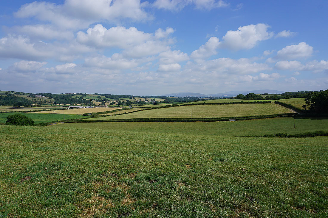
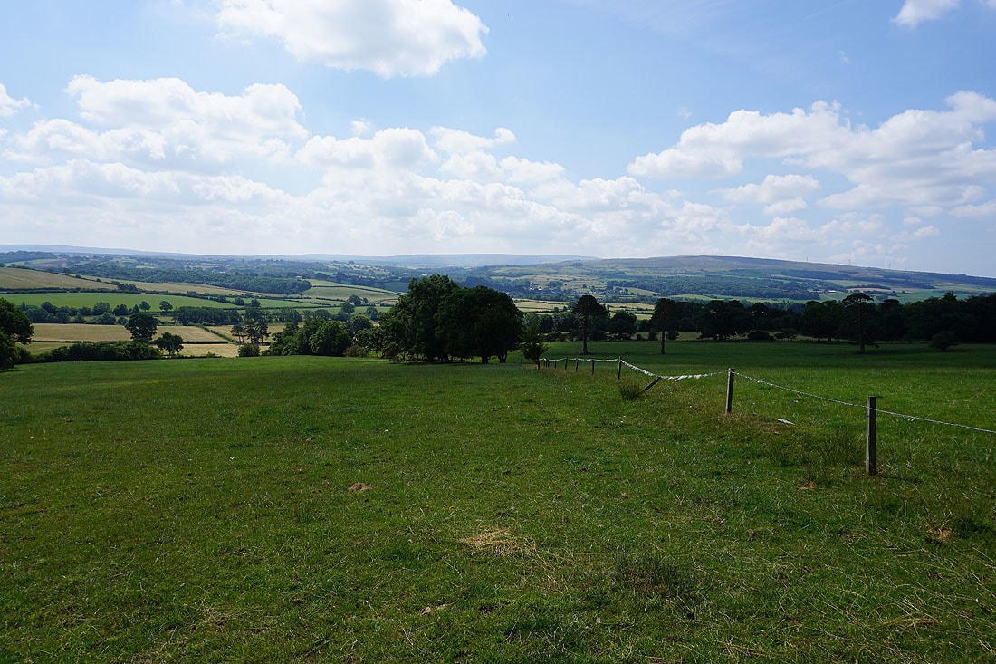
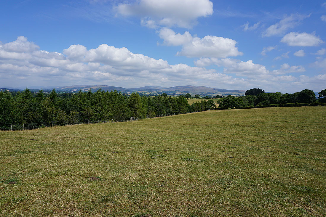
Looking back as I reach the crest of a hill and there's Ward's Stone and Caton Moor in the Forest of Bowland in the distance
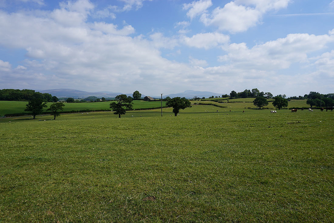
and ahead of me, Gragareth, Whernside and Ingleborough in the Yorkshire Dales
The hamlet of Tatham ahead as I walk down Park Lane
The River Wenning from Tatham Bridge
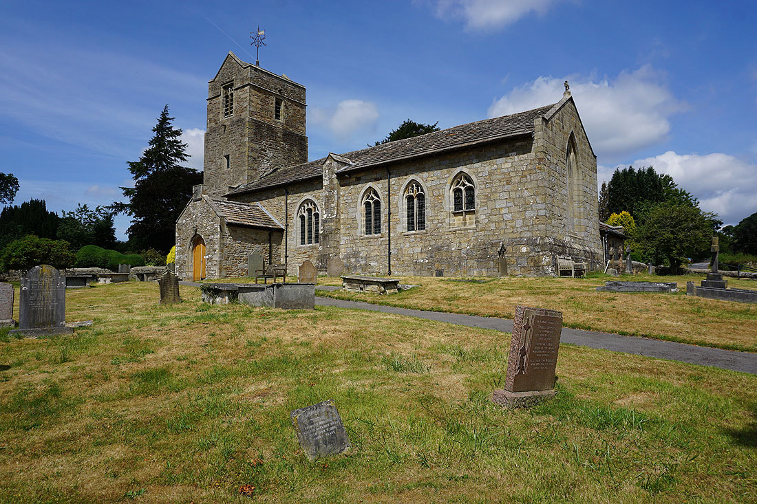
The church of St. James the Less in Tatham
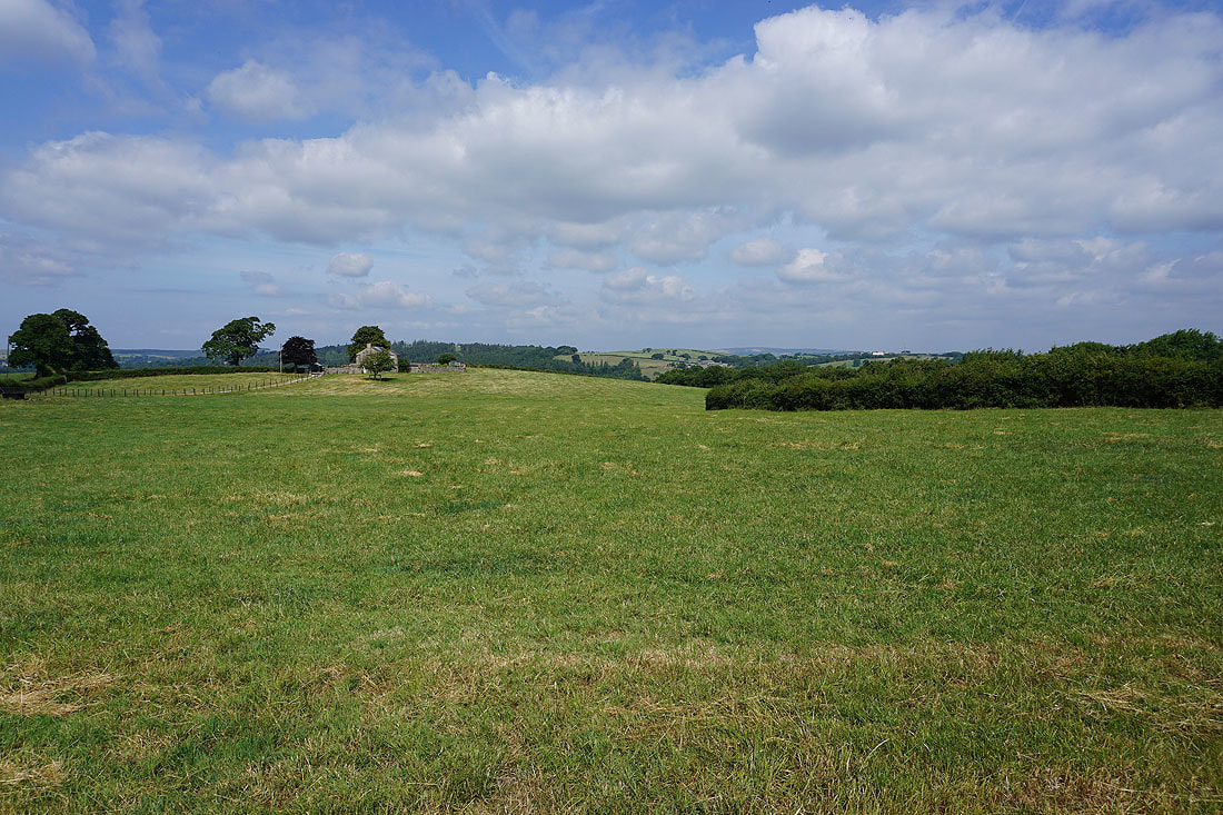
The Forest of Bowland and Caton Moor as I look back from the footpath up to Lodge Farm
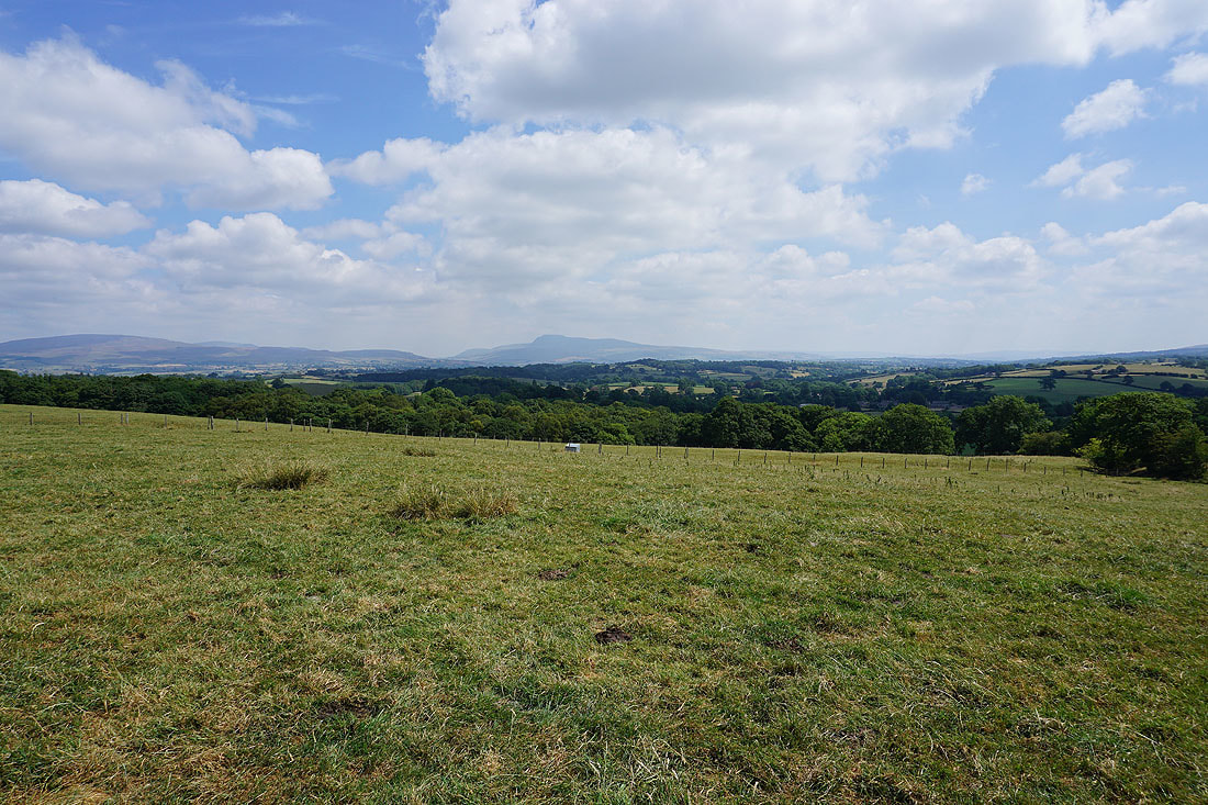
and to my right, Ingleborough in the Yorkshire Dales
Great Coum, Gragareth and Ingleborough in front of me as I walk down the access road for Lodge Farm towards Lodge Lane
After walking down Lodge Lane, on the byway across Melling Moor
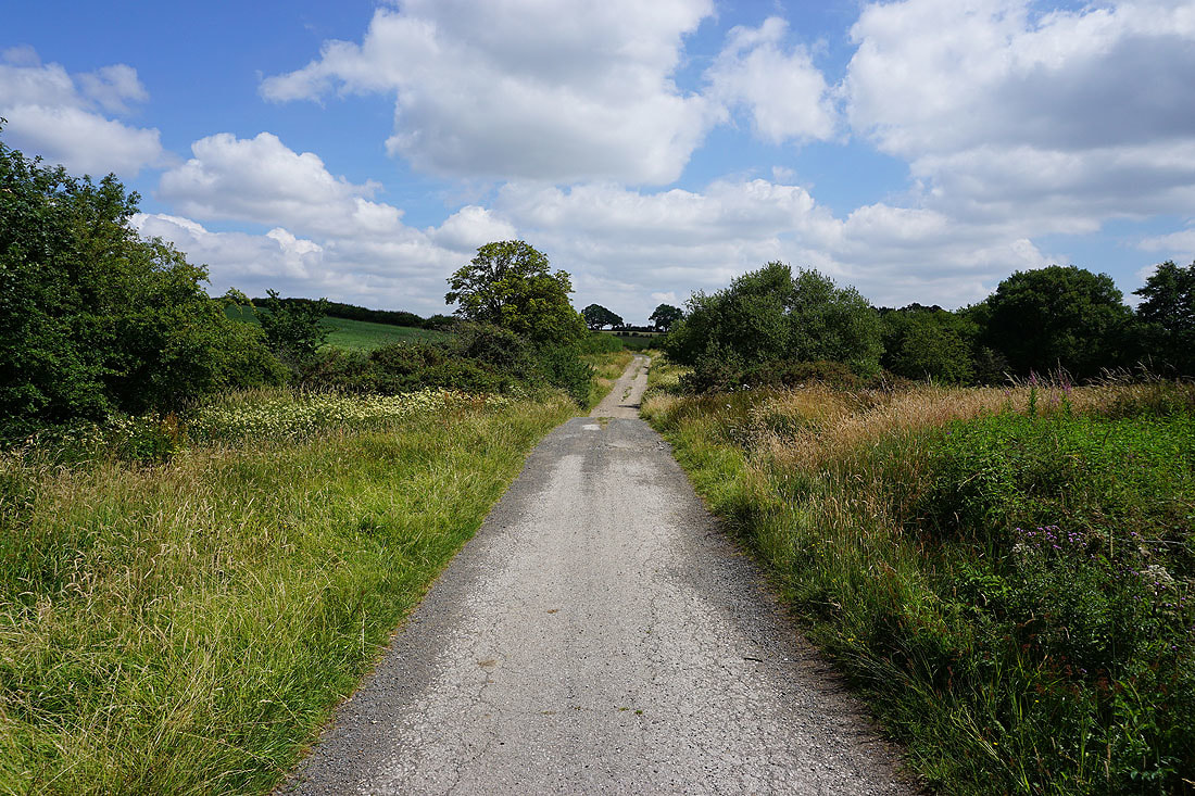
and then it's down into woodland as I take the footpath north towards Wrayton
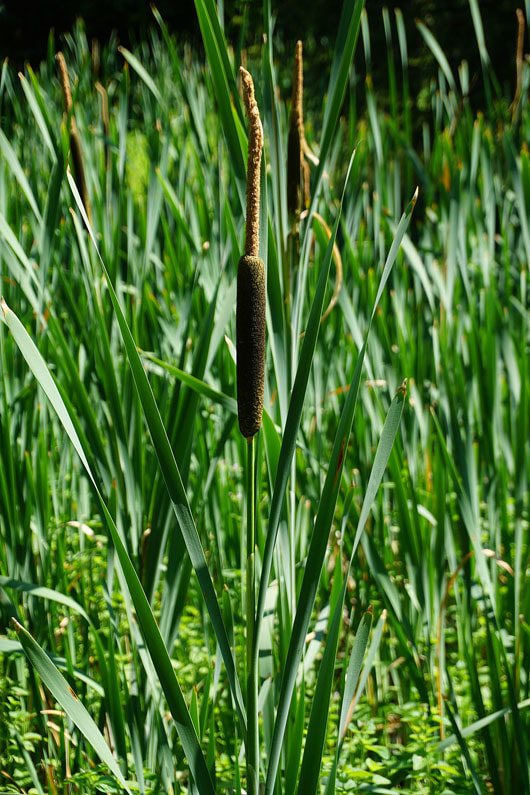
Bulrushes in a marshy patch in the woods
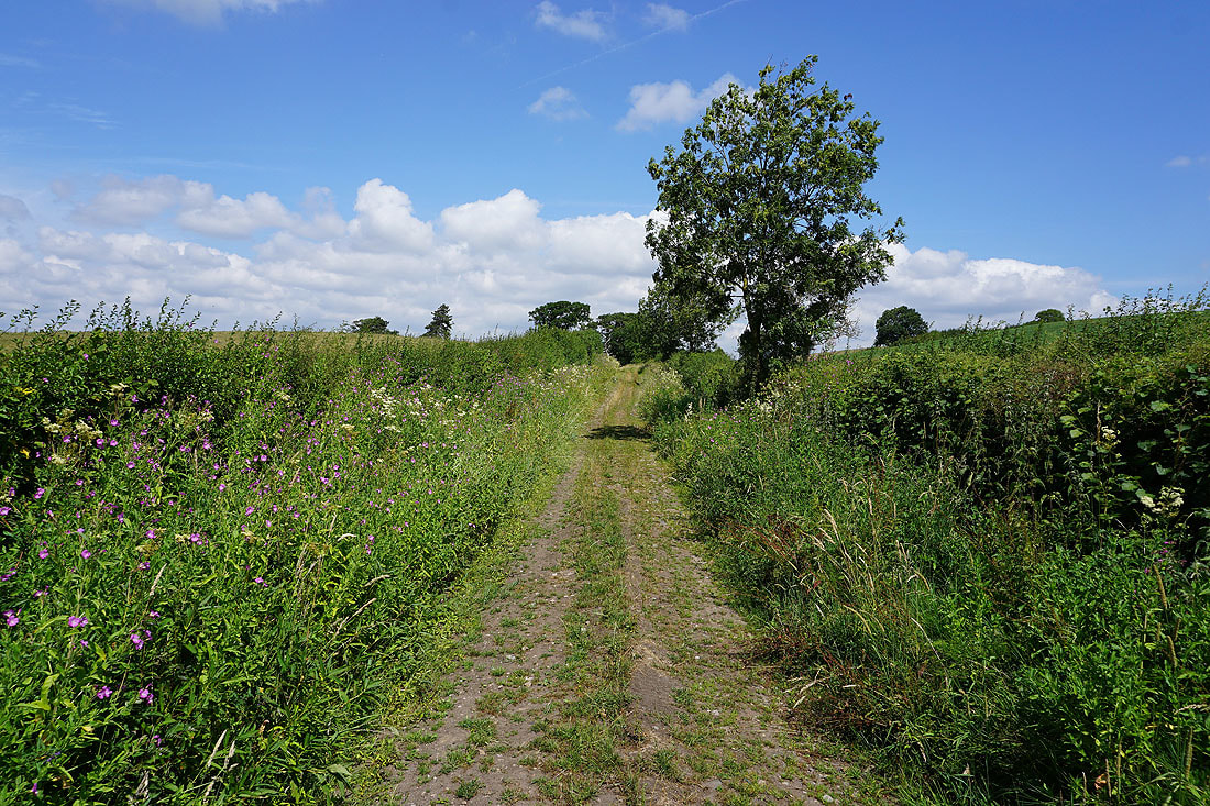
The footpath becomes a track lined with wildflowers before..
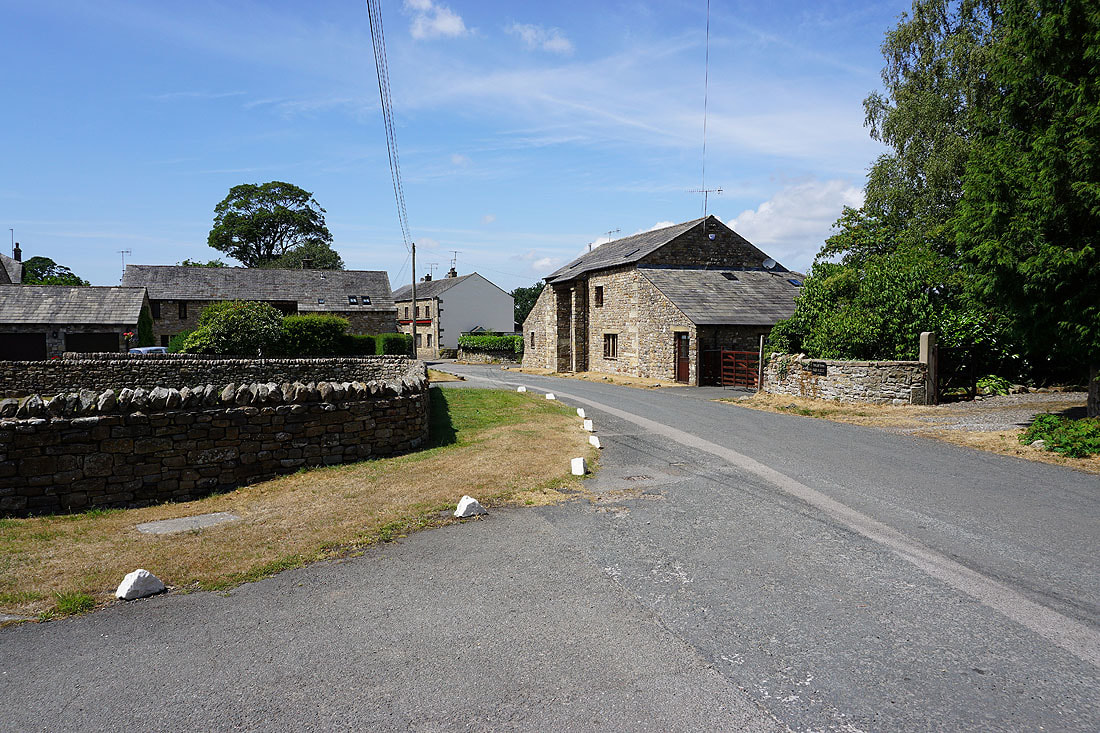
..I reach the village of Wrayton
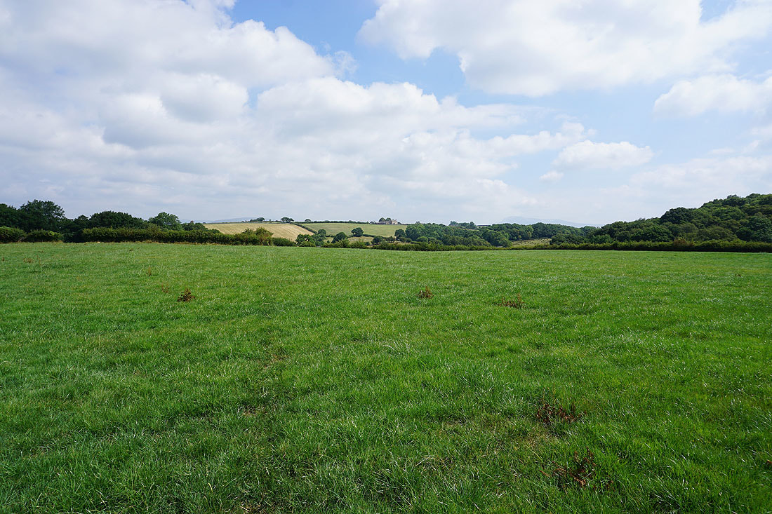
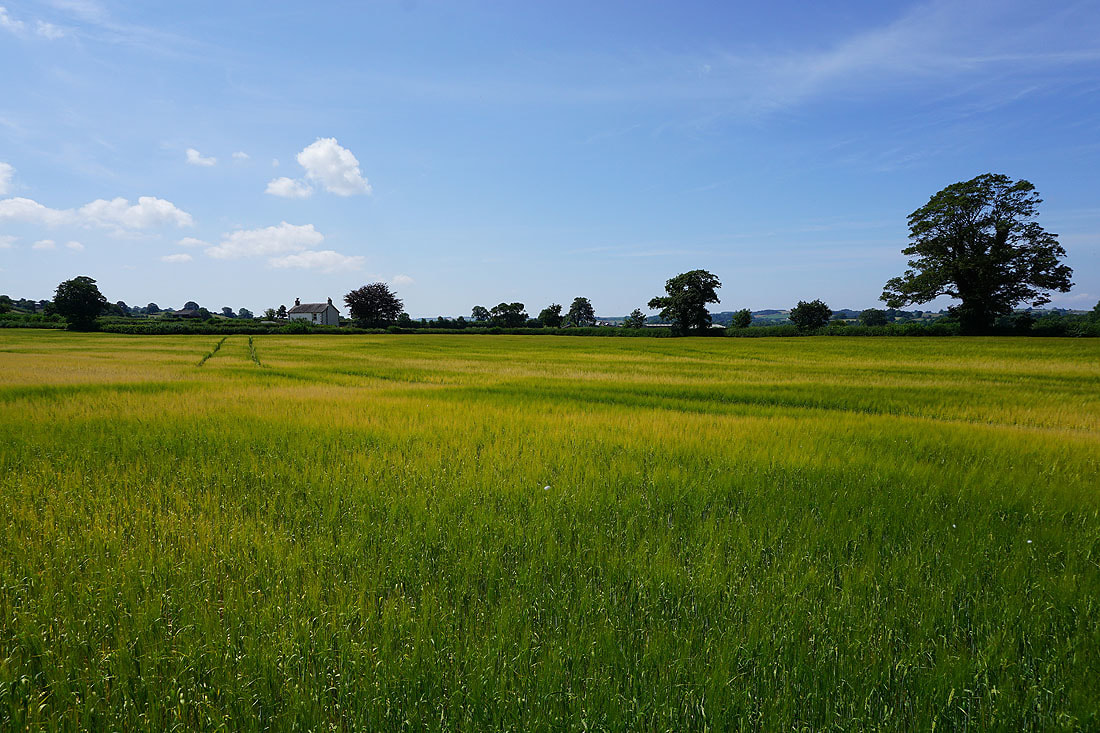
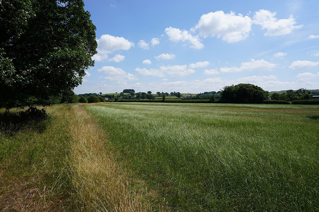
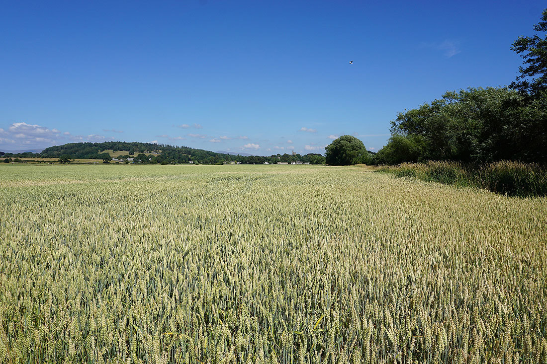
Walking through a field of barley on the footpath from Wrayton to Greta Bridge..
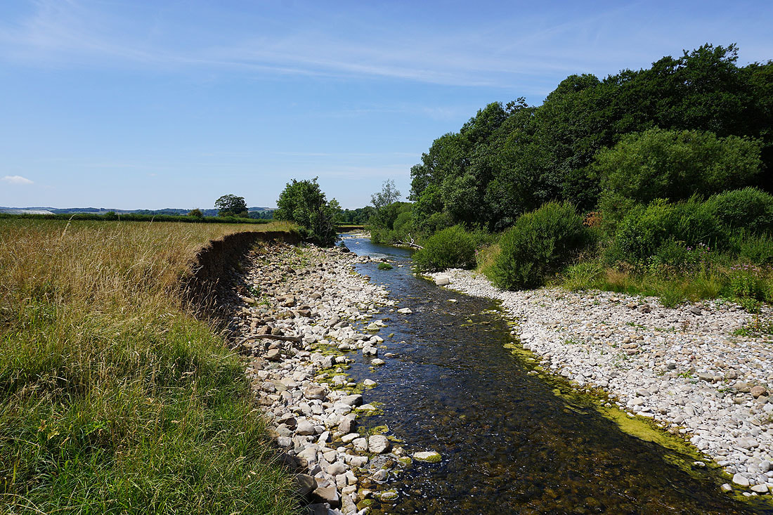
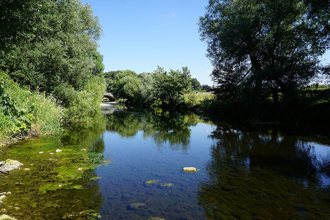
Having crossed the A683 at Greta Bridge I'm following the south bank of a low River Greta to where it joins the Lune...
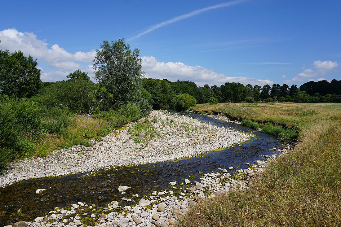
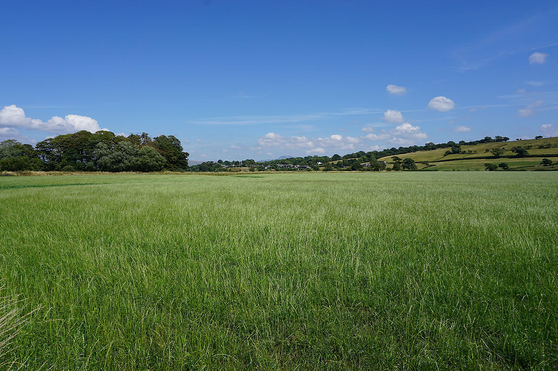
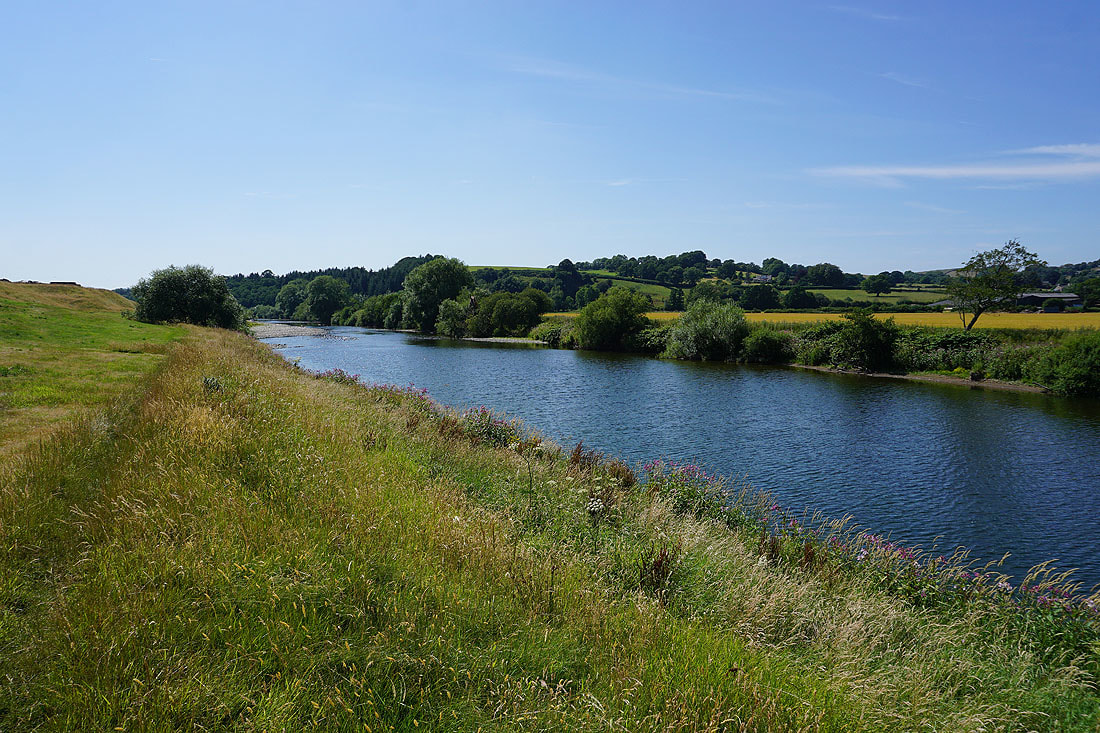
A beautiful summer's afternoon in Lunesdale
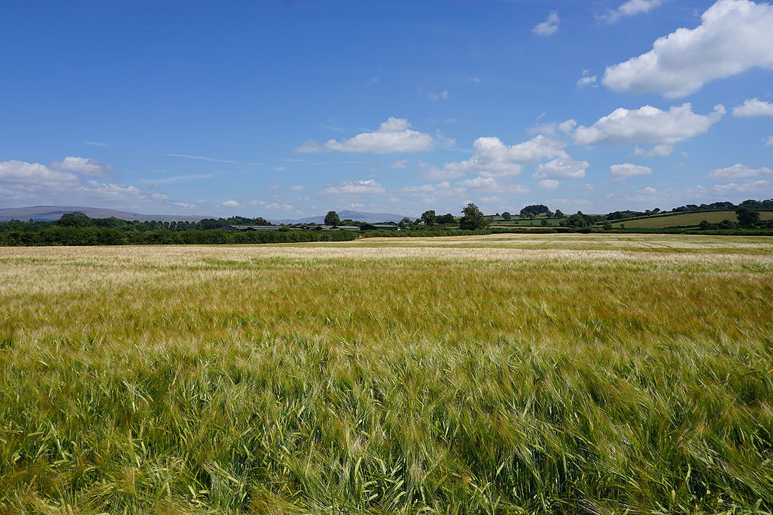
On the footpath south to the east of the Lune and this is my favourite photo of the day. Ingleborough in the distance over a field of barley.
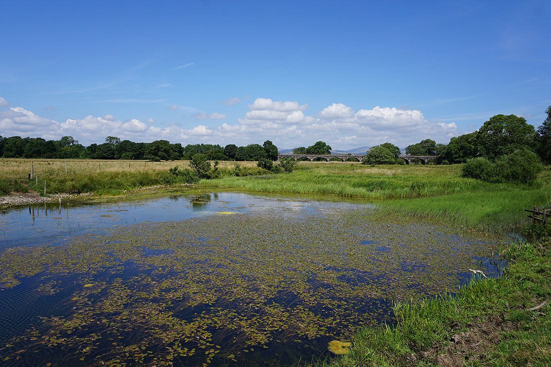
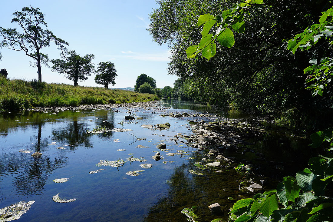
Flood pools by the Lune and the viaduct carrying the Leeds-Carnforth line over the river
A couple more photos looking east towards Ingleborough..
..and this one has the village of Melling in it
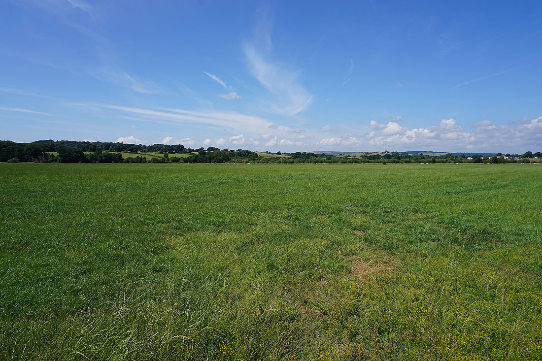
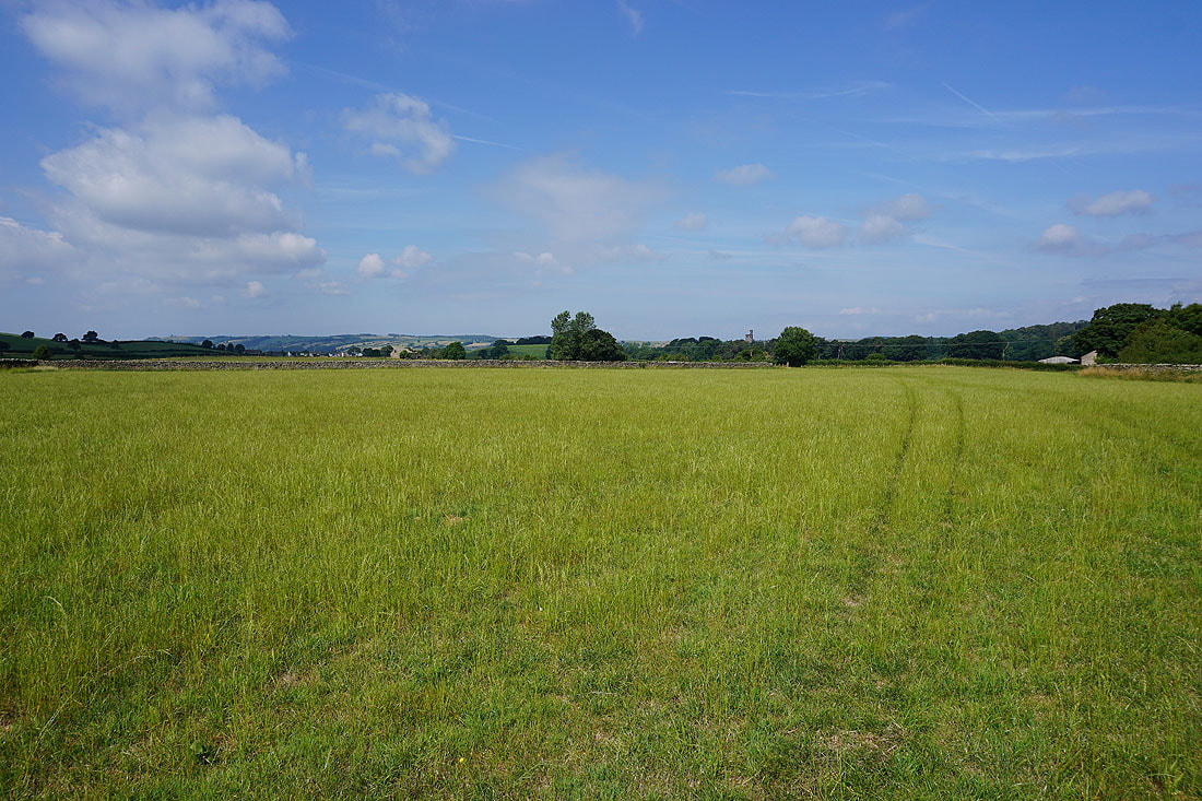
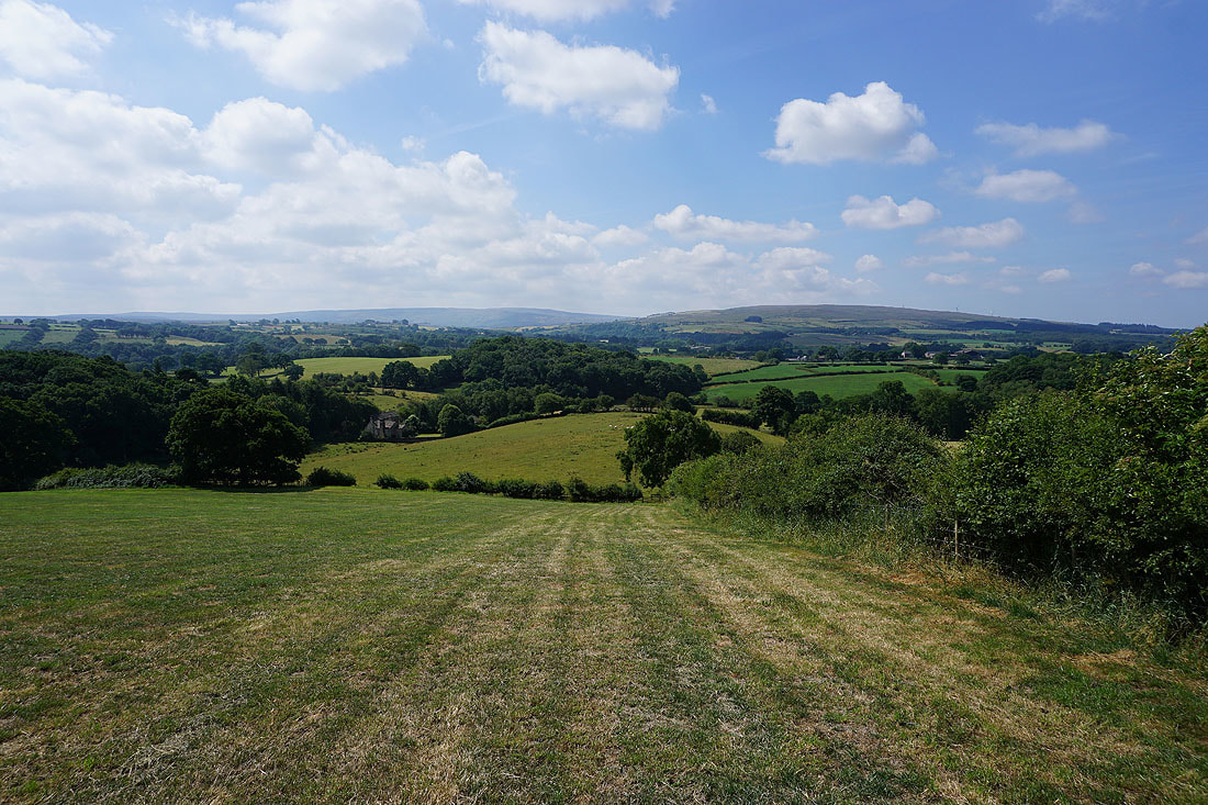
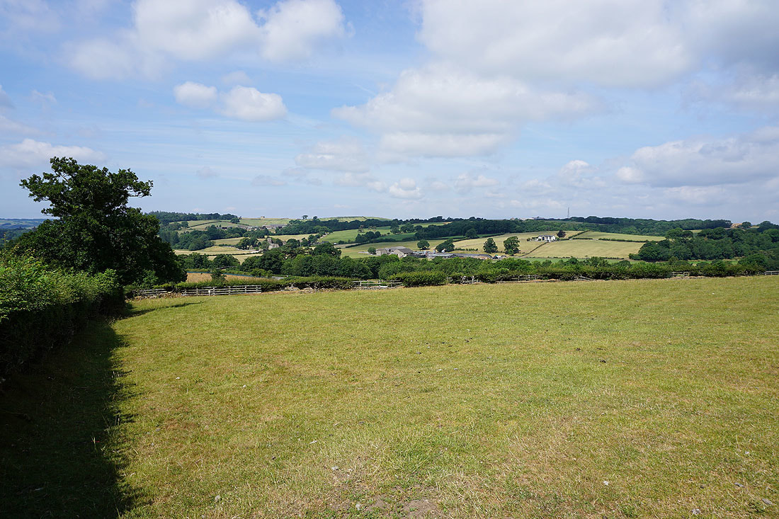
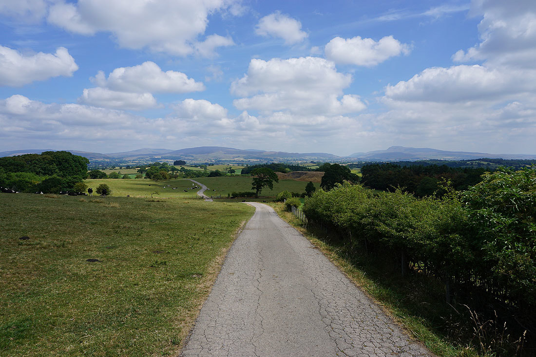
Looking west across Lunesdale
and looking north from Holme Head Farm. I used the track on the right as a short cut (it isn't a public footpath). There were a lot of cattle in the fields near the river which the footpath goes through that were far too interested in me.
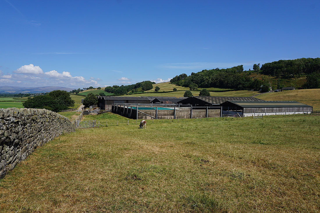
Holme Head Farm
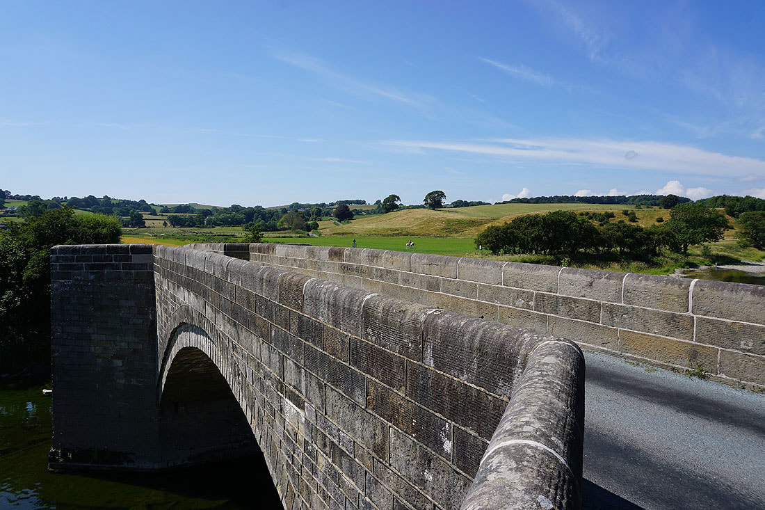
Loyn Bridge crosses the Lune
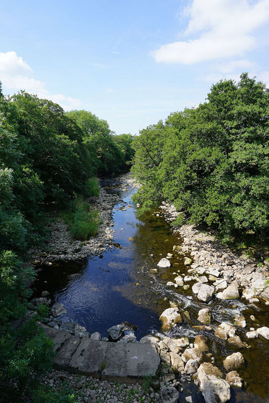
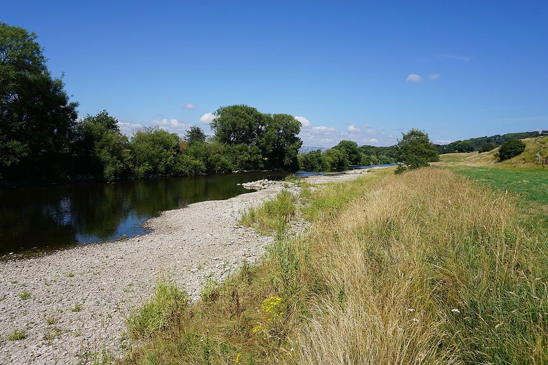
A low River Lune from Loyn Bridge
The Lune and Loyn Bridge
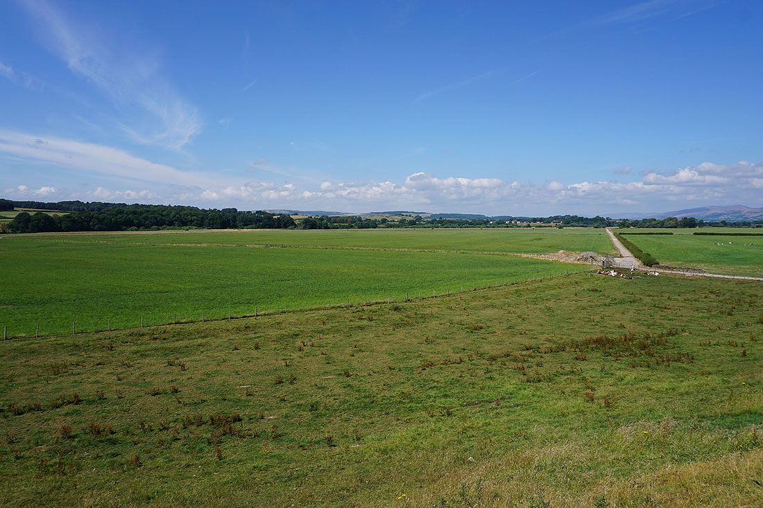
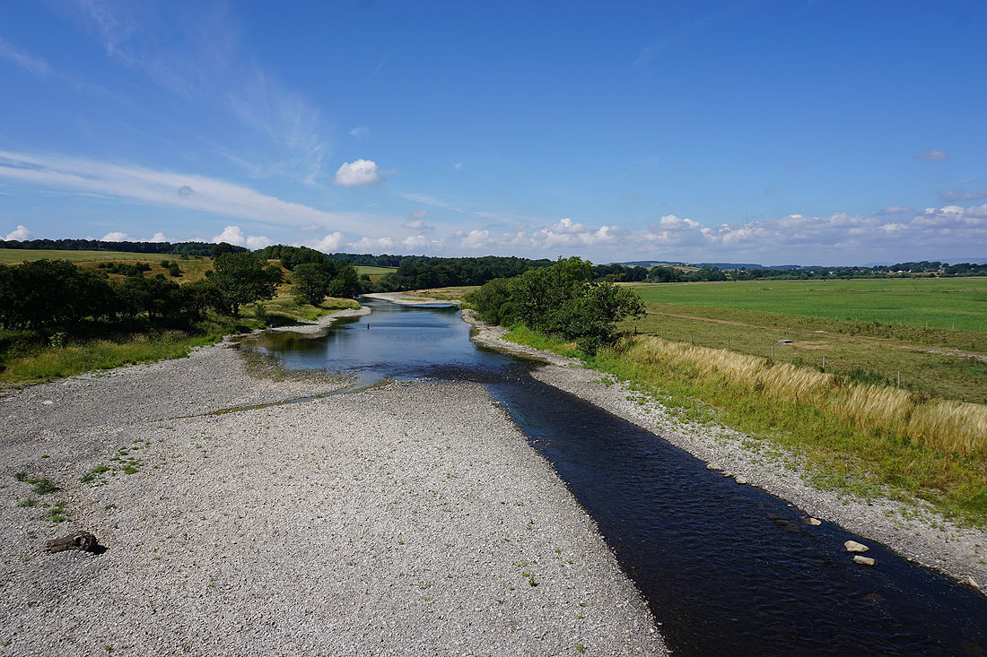
The River Lune as I follow the footpath south by its east bank..
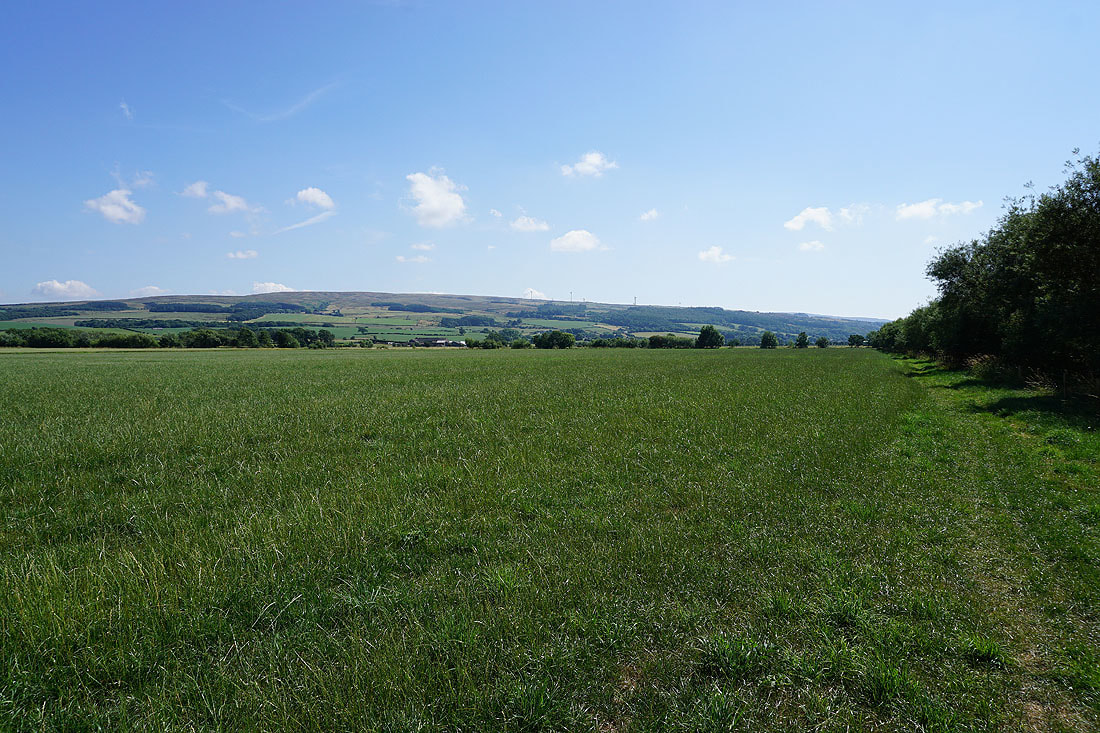
Caton Moor in the distance
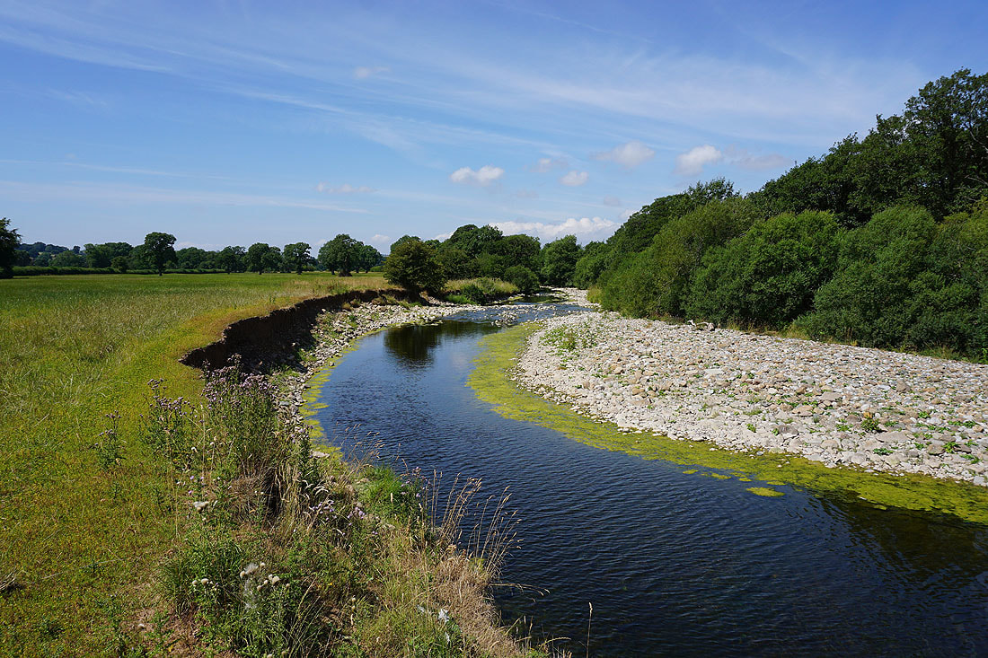
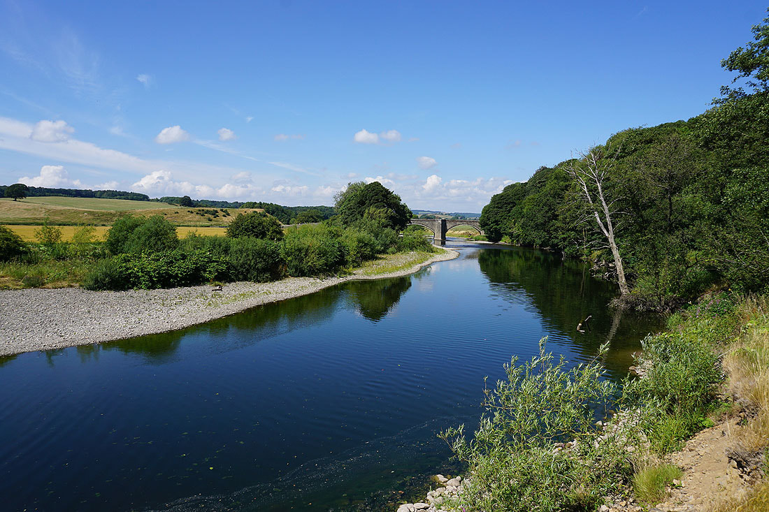
The hill of Windy Bank and Hornby as I reach the point where the Wenning joins the Lune
Heading back to Hornby and because of the low water level I can get right down to the River Wenning..
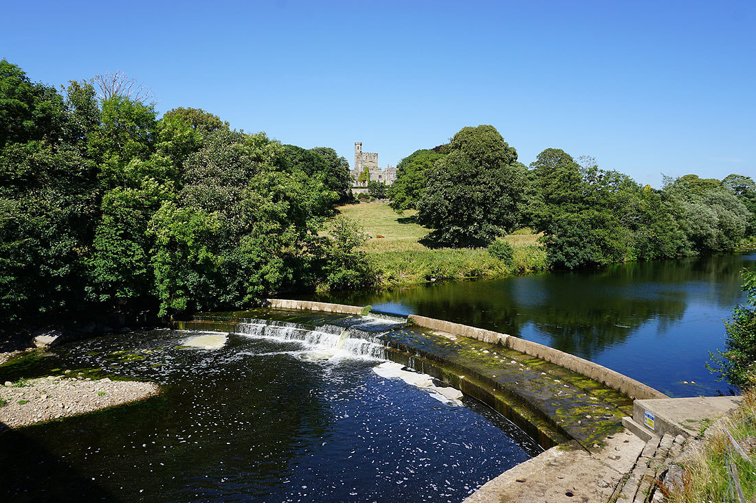
Back in Hornby with Hornby Castle above the River Wenning from Hornby Bridge. A much better photo than the one I took this morning.