14th July 2019 - Coverdale and Great Roova Crags
Walk Details
Distance walked: 10.3 miles
Total ascent: 1655 ft
OS map used: OL30 - Yorkshire Dales, Northern & Central areas
Time taken: 6 hrs
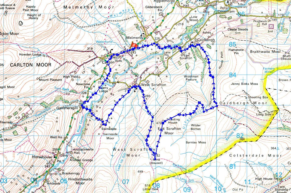
Route description: Carlton-Flats Hill-Turnbeck Lane-Gammersgill-River Cover-Swineside-West Scrafton-Bow Bridge-West Scrafton Moor-East Scrafton Moor-Great Roova Crags-Ulfers Gill-Red Way-Caldbergh-East Scrafton-St. Simon's Bridge-Carlton
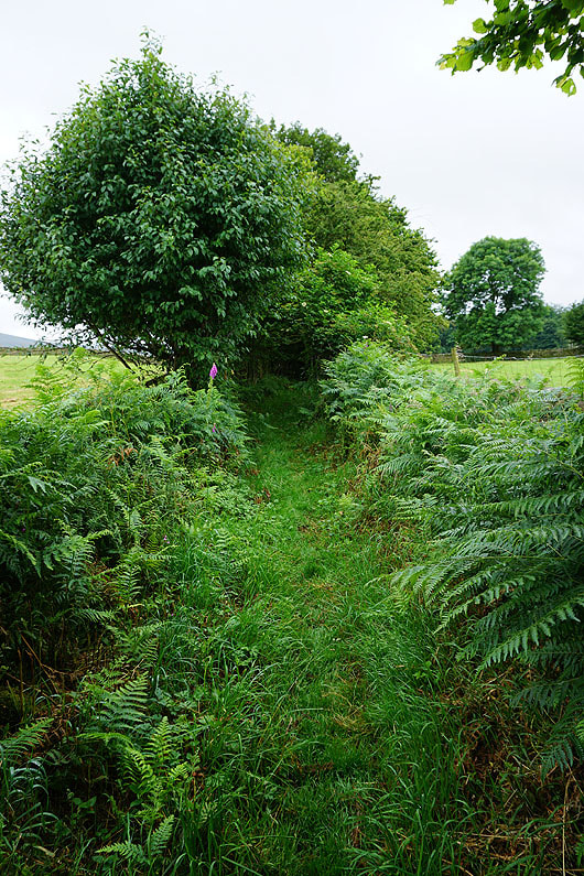
My second walk of the weekend and I'm somewhere much further afield today, and new, as I head to the village of Carlton in Coverdale, one of the side valleys of Wensleydale. I set off on the drive there with two routes in mind and the weather would decide which of them I would go for. The one that I did taking in Great Roova Crags and the moorland on the south side of the dale was my "not the best weather option", as I arrived in Carlton to grey skies and a forecast of not too much in the way of sunshine. It was an enjoyable enough first visit to Coverdale and there were good views of the dale from Great Roova Crags but this is one route that I won't try again. I found it a bit of a battle getting from the shooter's tracks to the east of Great Roova Crags to the track of the Red Way to the east of Ulfers Gill. On my map a bridleway starts to head from the Red Way towards Ulfers Gill and then just stops with a path carrying on a bit further. I'd hoped that there would be a path linking the shooter's track and the bridleway up. If there was then there isn't much of it left, as I had just a thin trod to follow and shoulder high bracken and thick heather to negotiate. Not pleasant!
From the car park by the village hall in Carlton I walked west through the village past the Foresters Arms to a row of cottages set back from the road where there's a fingerpost for a public footpath. I took this path southwest across fields to the road just below Carlton, then the footpath south down to meet another path that took me southwest to Cover Lane. I briefly walked down the road then took the footpath on the right across fields to the track of Turnbeck Lane and the road outside the hamlet of Gammersgill. I walked into the hamlet then took the footpath on the left signposted for "Swineside via stepping stones". No problems using them to cross the River Cover and then there was a rather steep climb up through fields to the hamlet of Swineside. From Swineside I walked down the lane, which is a bridleway on the map, into the village of West Scrafton to Bow Bridge over Great Gill, where I then took the bridleway south up onto West Scrafton Moor to the boundary fence that crosses the moor. I left the bridleway behind here and followed the fence north to Little Roova Crag and then to Great Roova Crags, where I took a break for lunch. From the shooting hut at the east end of Great Roova Crags I followed shooter's tracks east towards Ulfers Gill and the path that I hoped to find. After struggling along a trod through bracken and heather I reached a gate in a fence by Ulfers Gill, then crossed the beck, and after a bit more struggling reached the track of Red Way. I followed this north down to the hamlet of Caldbergh, where I took a path on the left across Caldbergh Gill and fields to East Scrafton. I then crossed the road here for the footpath down to St. Simon's Bridge over the River Cover and up to the road above, which then left me with a walk west along it back to Carlton.
Total ascent: 1655 ft
OS map used: OL30 - Yorkshire Dales, Northern & Central areas
Time taken: 6 hrs
Route description: Carlton-Flats Hill-Turnbeck Lane-Gammersgill-River Cover-Swineside-West Scrafton-Bow Bridge-West Scrafton Moor-East Scrafton Moor-Great Roova Crags-Ulfers Gill-Red Way-Caldbergh-East Scrafton-St. Simon's Bridge-Carlton
My second walk of the weekend and I'm somewhere much further afield today, and new, as I head to the village of Carlton in Coverdale, one of the side valleys of Wensleydale. I set off on the drive there with two routes in mind and the weather would decide which of them I would go for. The one that I did taking in Great Roova Crags and the moorland on the south side of the dale was my "not the best weather option", as I arrived in Carlton to grey skies and a forecast of not too much in the way of sunshine. It was an enjoyable enough first visit to Coverdale and there were good views of the dale from Great Roova Crags but this is one route that I won't try again. I found it a bit of a battle getting from the shooter's tracks to the east of Great Roova Crags to the track of the Red Way to the east of Ulfers Gill. On my map a bridleway starts to head from the Red Way towards Ulfers Gill and then just stops with a path carrying on a bit further. I'd hoped that there would be a path linking the shooter's track and the bridleway up. If there was then there isn't much of it left, as I had just a thin trod to follow and shoulder high bracken and thick heather to negotiate. Not pleasant!
From the car park by the village hall in Carlton I walked west through the village past the Foresters Arms to a row of cottages set back from the road where there's a fingerpost for a public footpath. I took this path southwest across fields to the road just below Carlton, then the footpath south down to meet another path that took me southwest to Cover Lane. I briefly walked down the road then took the footpath on the right across fields to the track of Turnbeck Lane and the road outside the hamlet of Gammersgill. I walked into the hamlet then took the footpath on the left signposted for "Swineside via stepping stones". No problems using them to cross the River Cover and then there was a rather steep climb up through fields to the hamlet of Swineside. From Swineside I walked down the lane, which is a bridleway on the map, into the village of West Scrafton to Bow Bridge over Great Gill, where I then took the bridleway south up onto West Scrafton Moor to the boundary fence that crosses the moor. I left the bridleway behind here and followed the fence north to Little Roova Crag and then to Great Roova Crags, where I took a break for lunch. From the shooting hut at the east end of Great Roova Crags I followed shooter's tracks east towards Ulfers Gill and the path that I hoped to find. After struggling along a trod through bracken and heather I reached a gate in a fence by Ulfers Gill, then crossed the beck, and after a bit more struggling reached the track of Red Way. I followed this north down to the hamlet of Caldbergh, where I took a path on the left across Caldbergh Gill and fields to East Scrafton. I then crossed the road here for the footpath down to St. Simon's Bridge over the River Cover and up to the road above, which then left me with a walk west along it back to Carlton.
Route map
© Crown copyright. All rights reserved. License number PU 100034184.
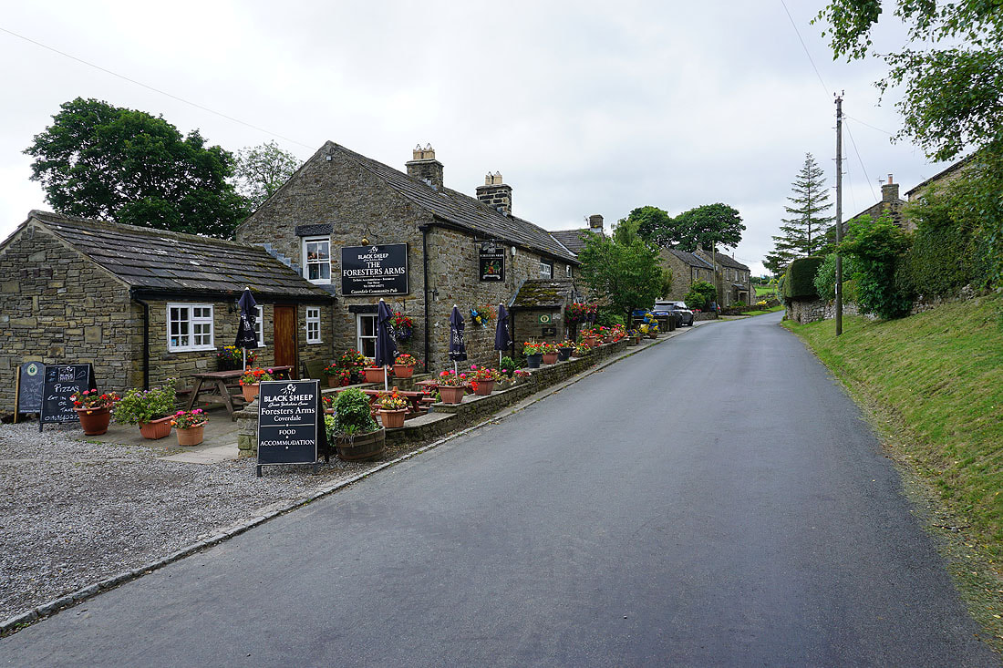
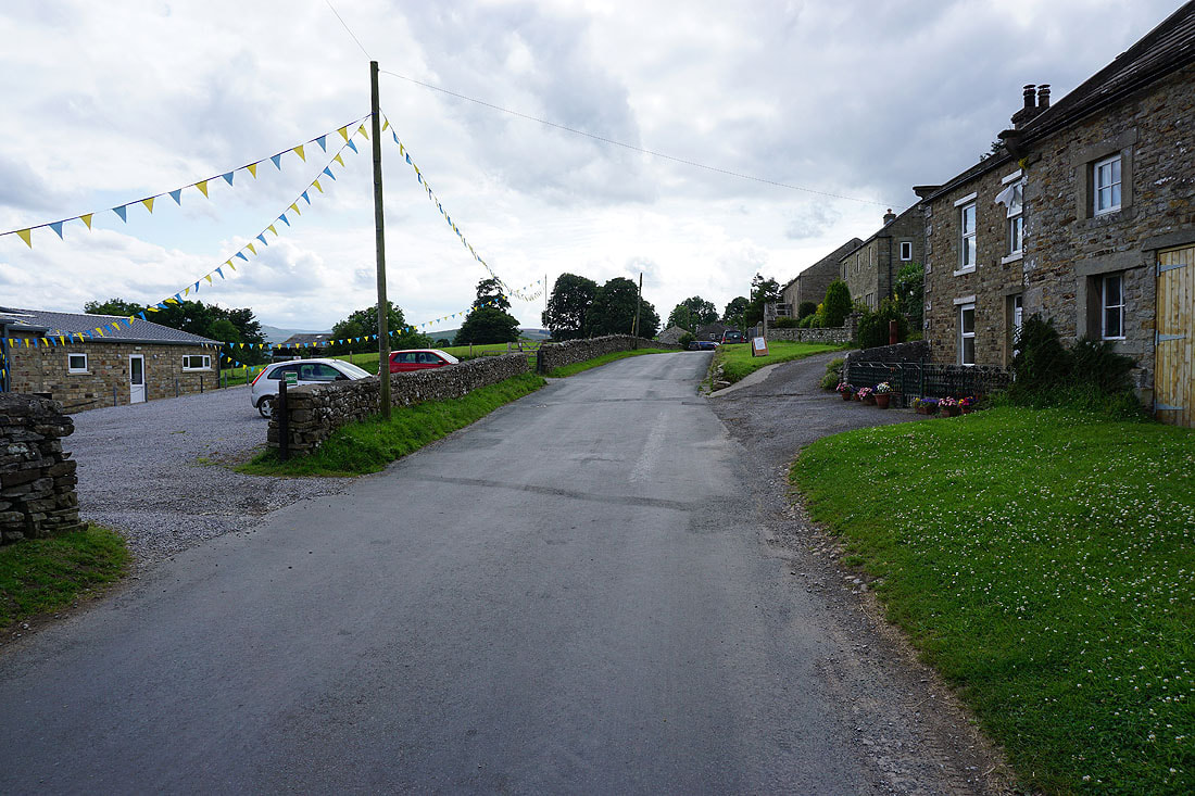
Walking past the Foresters Arms as I walk through Carlton
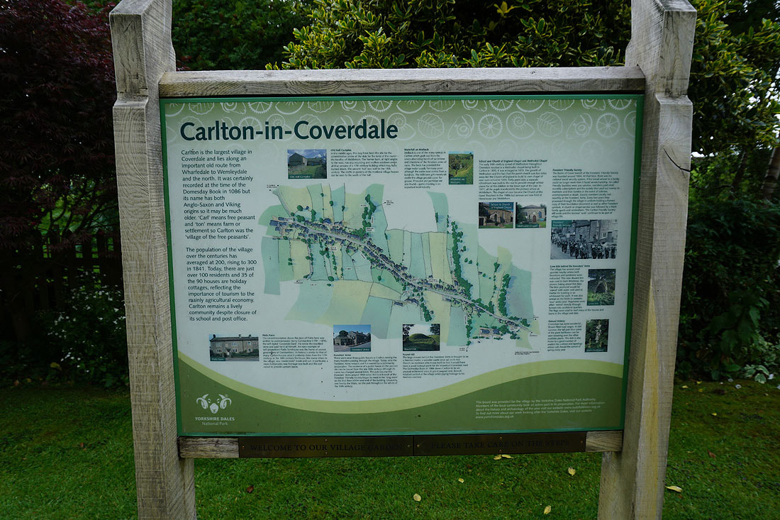
This board by the village garden is an interesting read
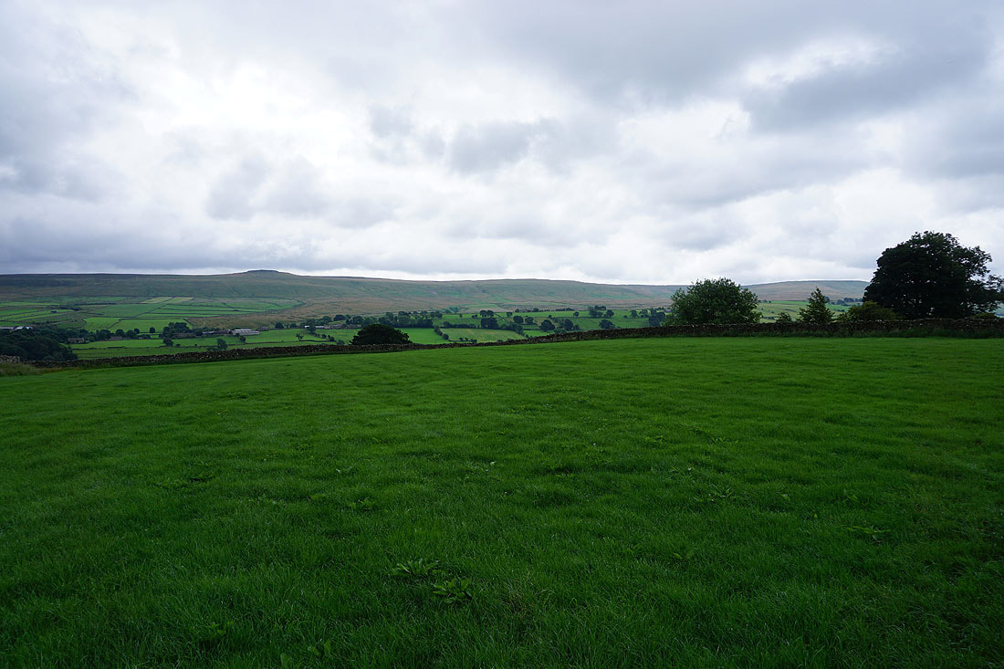
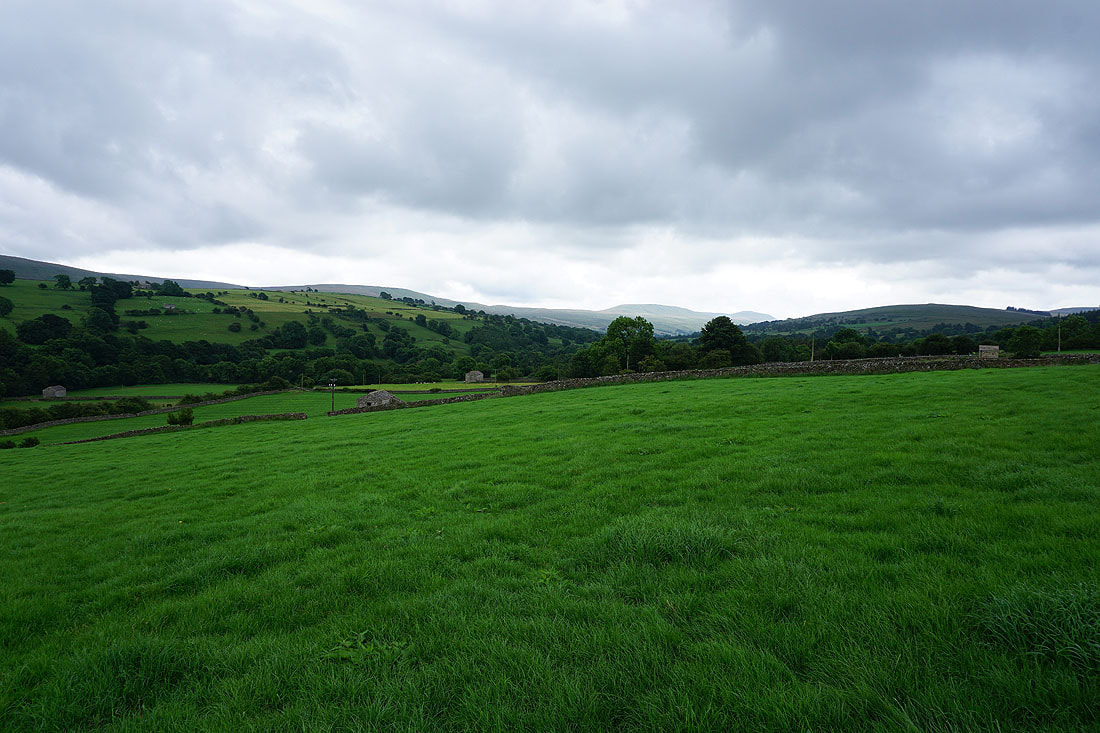
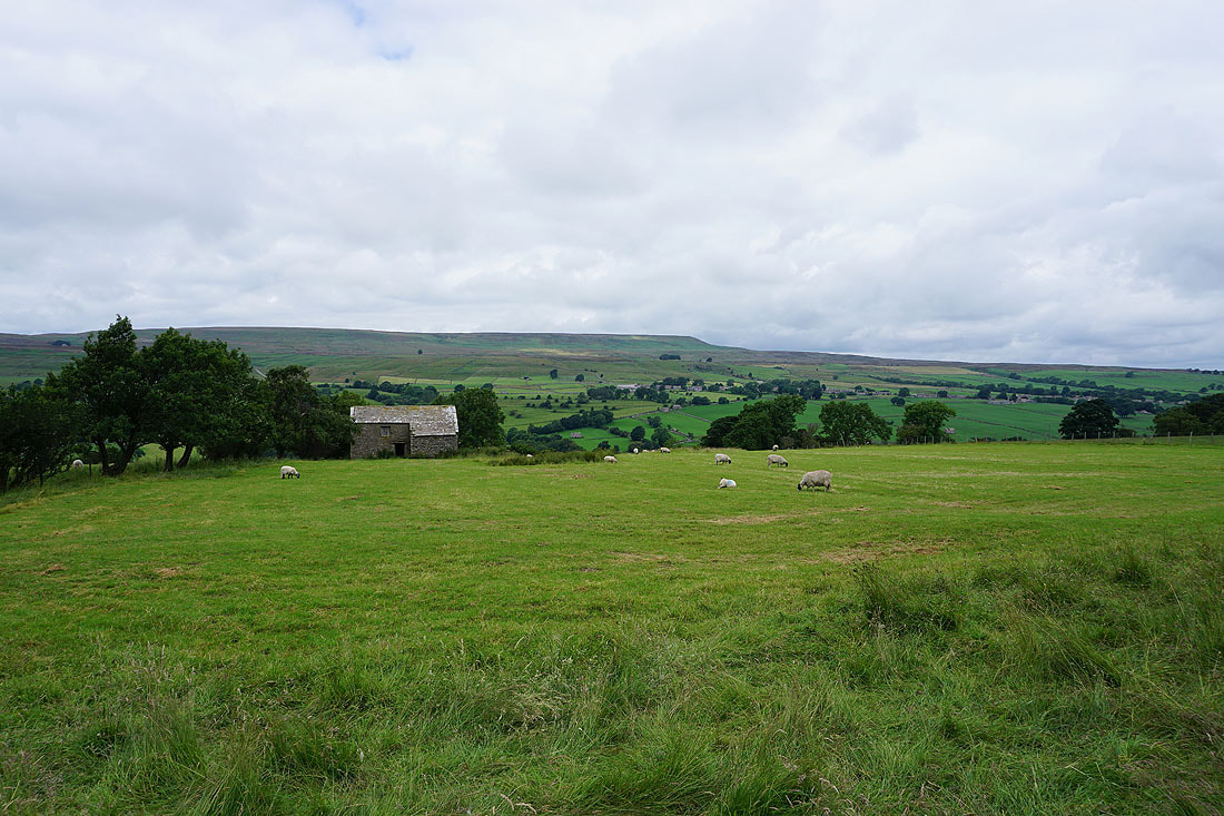
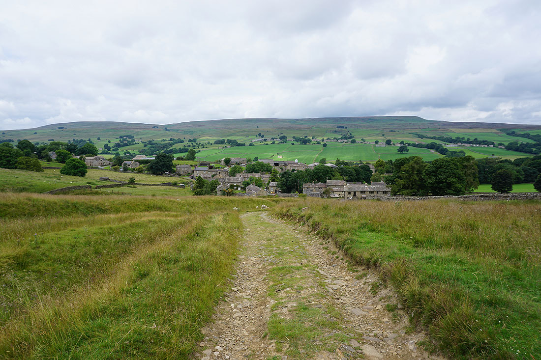
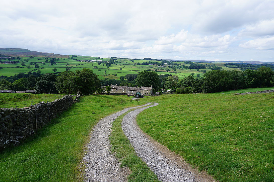
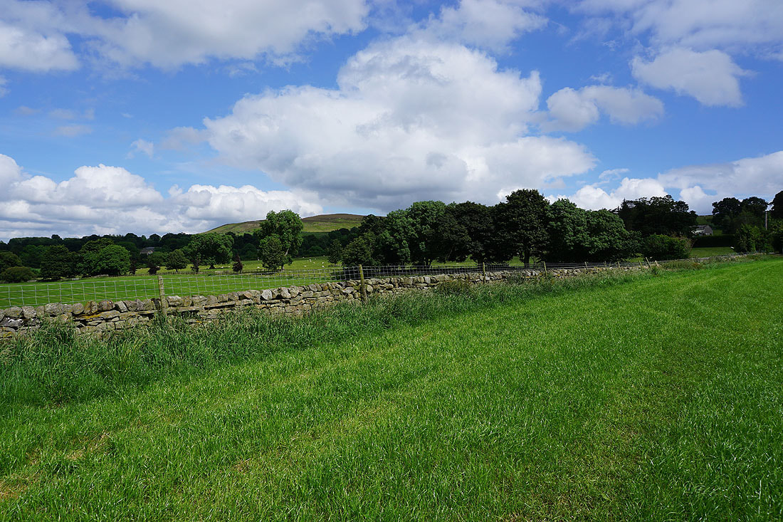
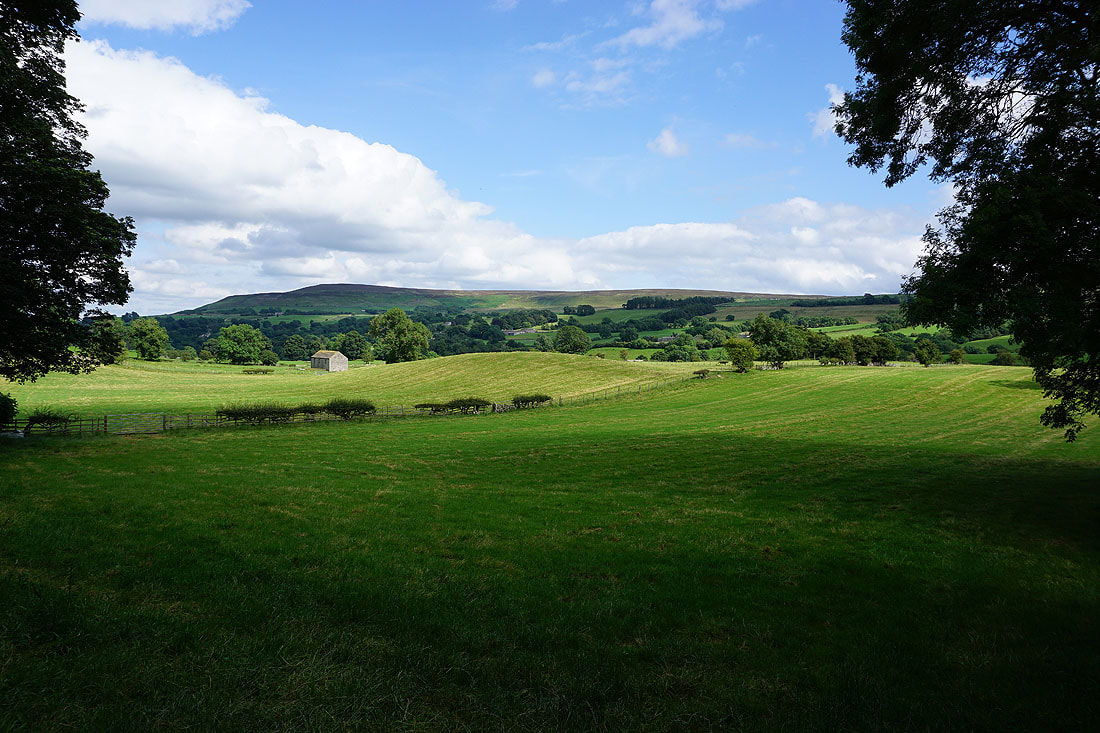
Great Roova Crags and West Scrafton Moor on the other side of the valley as I leave Carlton
Little Whernside in the distance as I head down towards the River Cover
Following the path across fields towards Gammersgill..
..and onto the track of Turnbeck Lane
Approaching the hamlet of Gammersgill
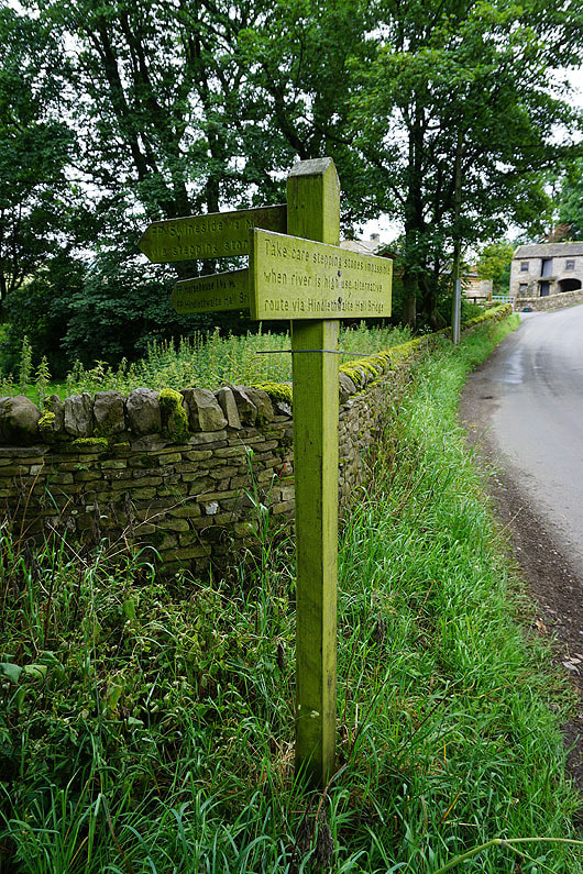
The road is left behind as I take the footpath to Swineside via the stepping stones over the River Cover
There's no problem crossing them today
Looking back across Coverdale to Harland Hill and Height of Hazely as I reach Swineside
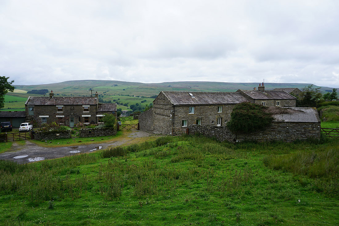
The hamlet of Swineside
Above Swineside I reach the end of the road up from West Scrafton, where it then becomes a bridleway across Swineside Moor. Looking southwest to Arkleside Moor and Little Whernside.
Walking down the road to West Scrafton..
..with Great Roova Crags above me to the right..
I can see Carlton on the hillside across the dale
Making my way through the village of West Scrafton..
..to where Bow Bridge crosses Great Gill
West Scrafton with Height of Hazely on the other side of Coverdale as I take the bridleway up onto West Scrafton Moor
West Scrafton Moor with Great Roova Crags above on the left
Looking across Coverdale to Fleensop Moor and Harland Hill
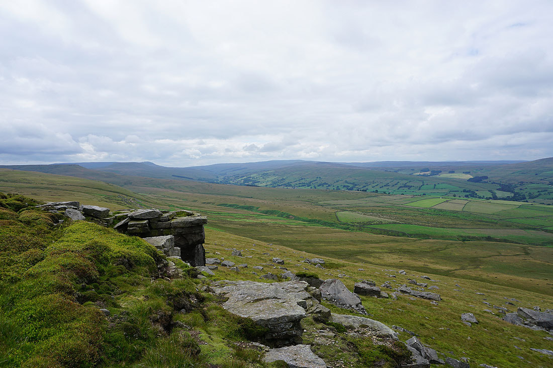
Little Whernside, North Moor, Brown Haw and Fleensop Moor surround the head of Coverdale
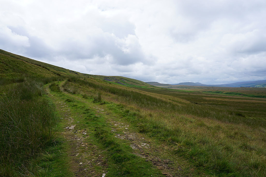
Higher up the bridleway and I approach some of the disused tips of West Scrafton Colliery
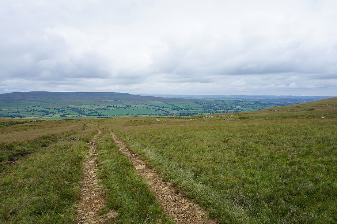
Looking back down Coverdale
and across to Harland Hill and Height of Hazely
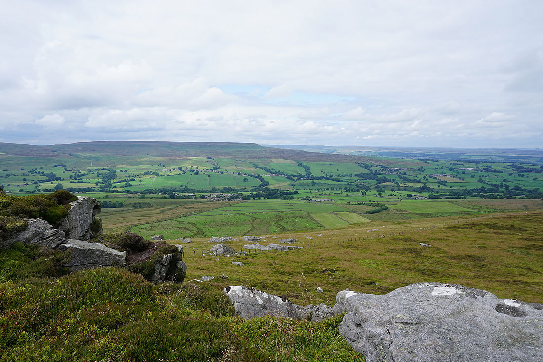
Brown Haw, Fleensop Moor and Harland Hill with Swineside Moor below
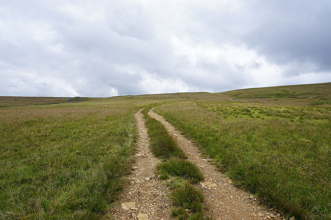
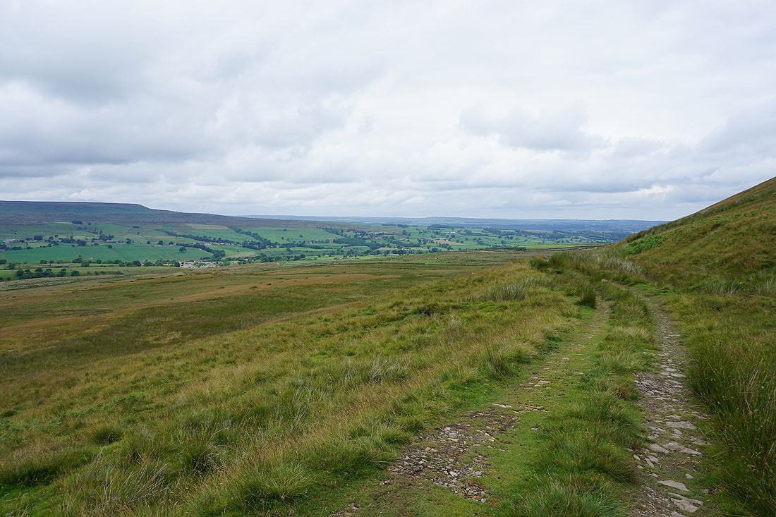
The bridleway approaches the top of West Scrafton Moor
Looking across Coverdale to Height of Hazely
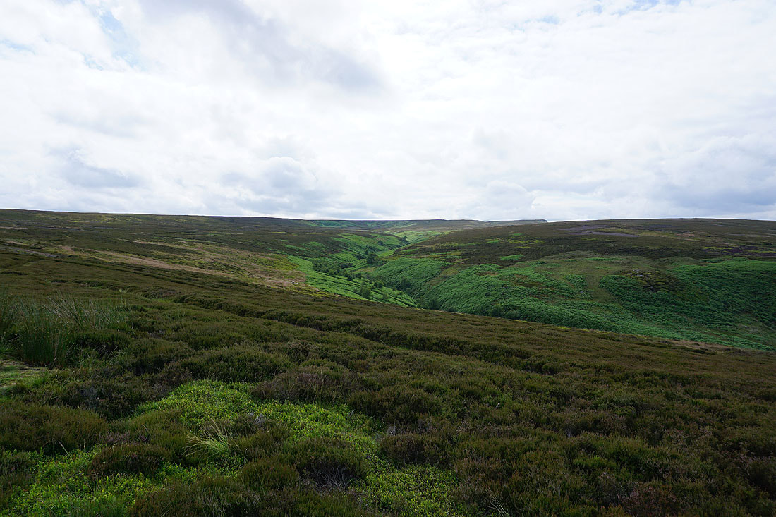
and across East Scrafton Moor to Great Roova Crags
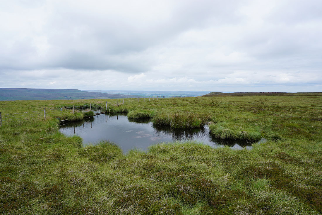
Past a pool as I follow the fence northeast across East Scrafton Moor towards Great Roova Crags..
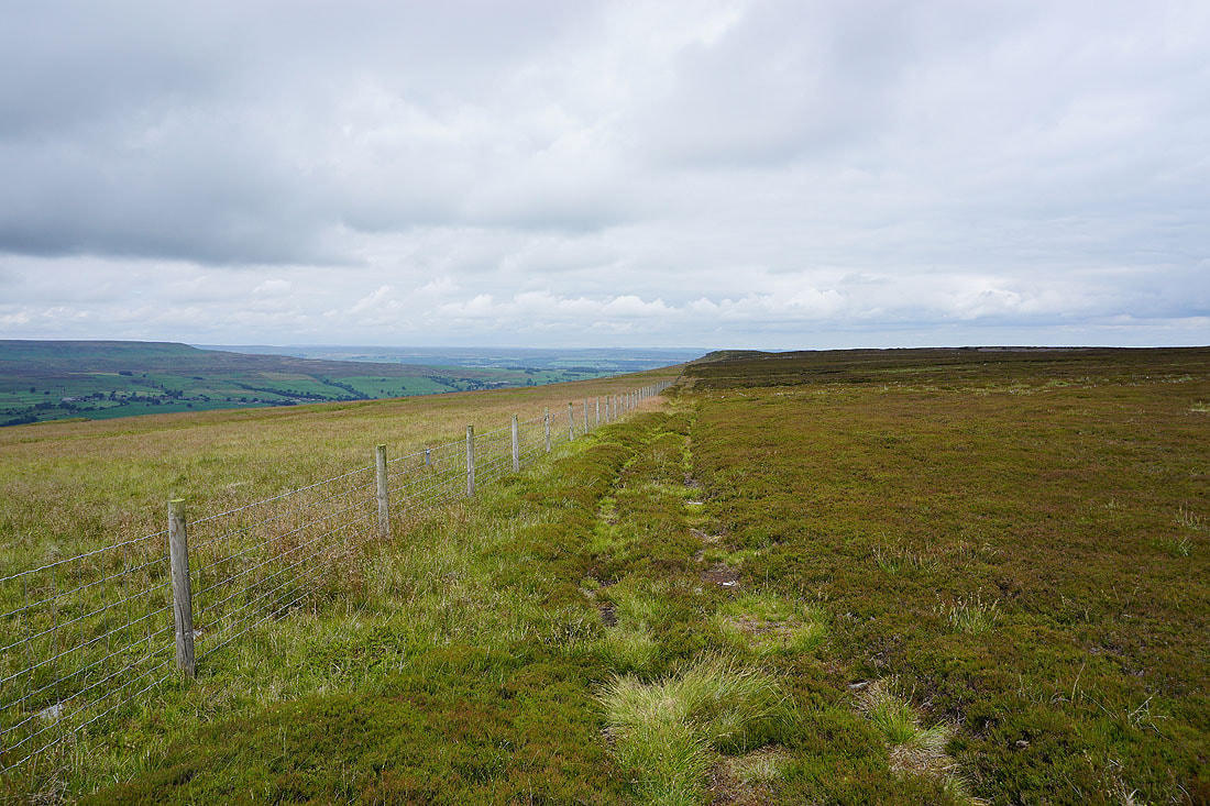
Height of Hazely as I pass Little Roova Crag
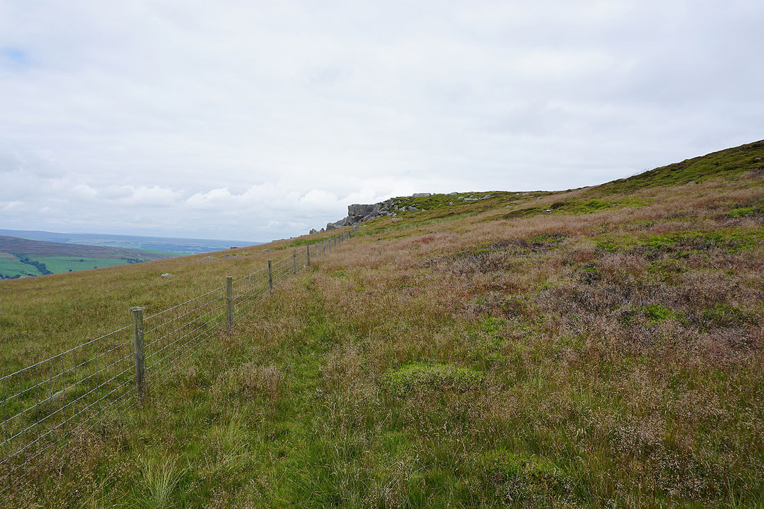
On the final approach to Great Roova Crags
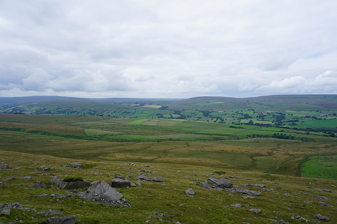
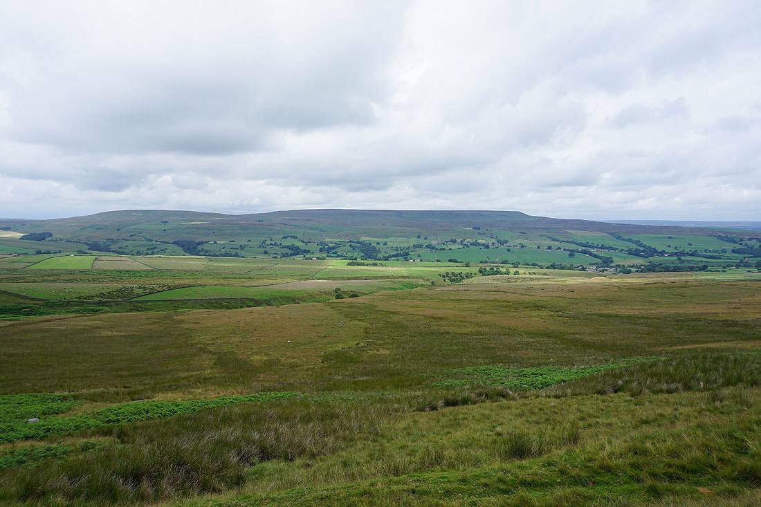
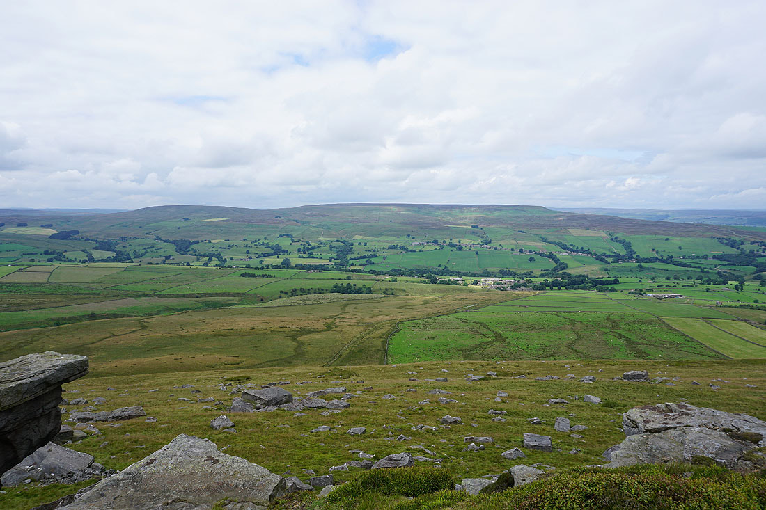
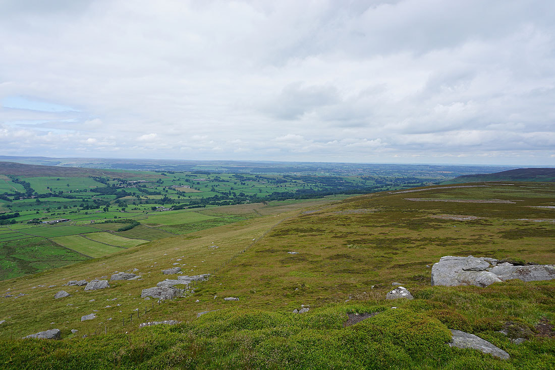
Finally made it to Great Roova Crags and this is a good place to stop for lunch and take in the view. The highest hill in the distance on the left is Buckden Pike and then across Coverdale are Brown Haw, Fleensop Moor and Harland Hill.
Harland Hill and Height of Hazely with the village of West Scrafton in the valley below and Carlton on the opposite hillside
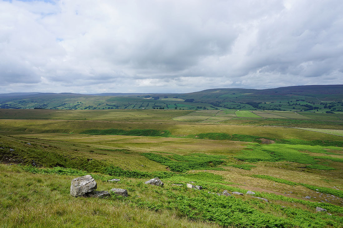
The crags make a good foreground for a photo. The moors beyond Height of Hazely to its right are those on the other side of Wensleydale.
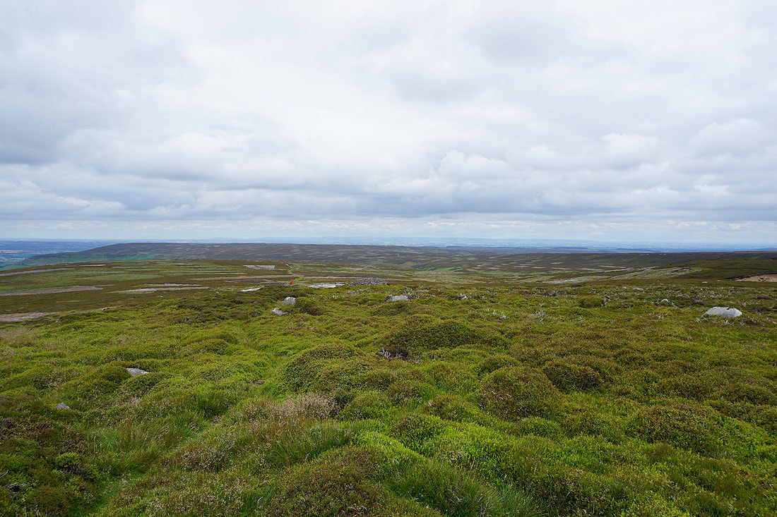
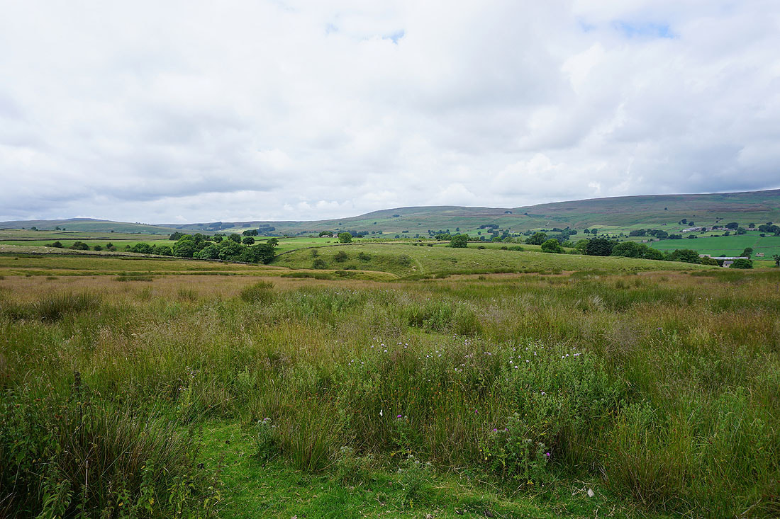
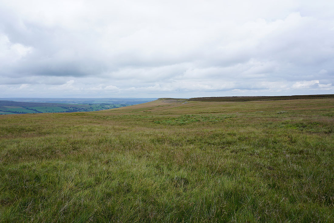
Caldbergh Moor to the east and I can make out the North York Moors way in the distance..
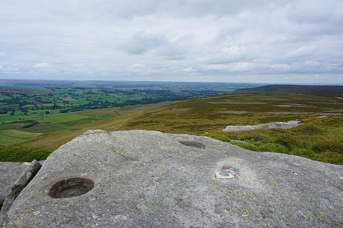
It took me a while but I've finally found it. I'd been looking for the normal concrete trig pillar but in this case the trig point is just a stud in this boulder.
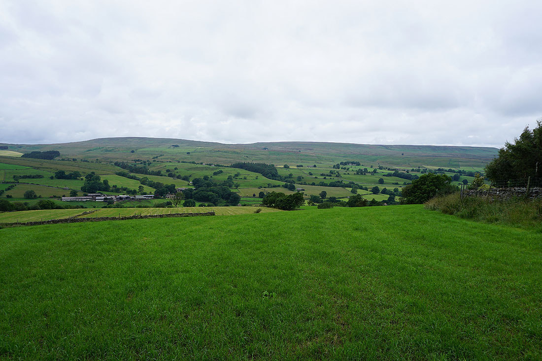
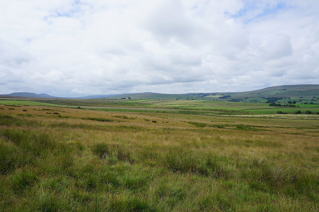
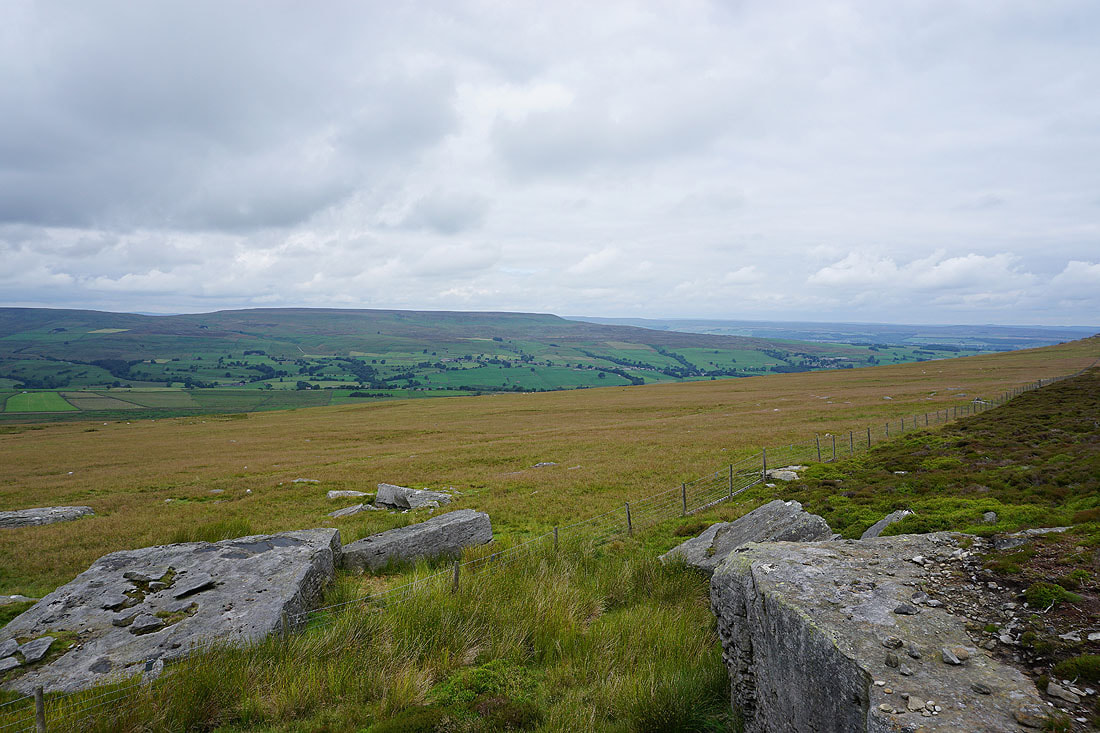
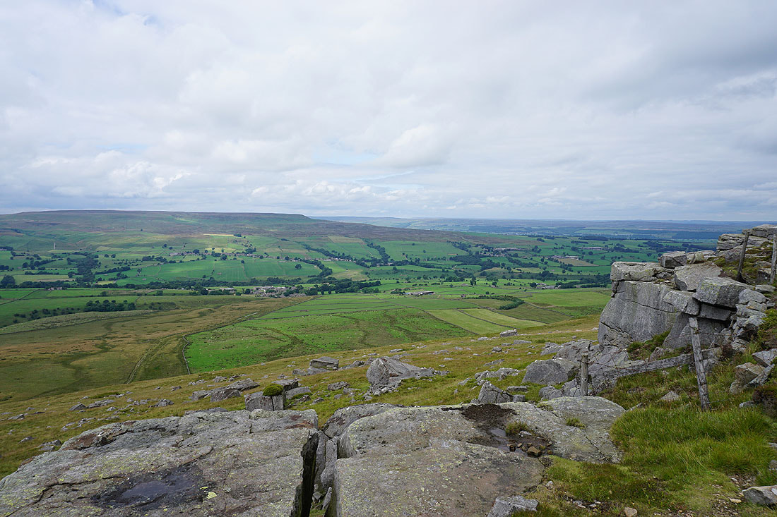
Looking down Coverdale and across Middleham Low Moor to Wensleydale
and up to the head of Coverdale with Great Whernside and Buckden Pike to the left and right respectively
Definitely my favourite view from up here
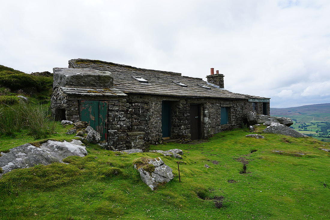
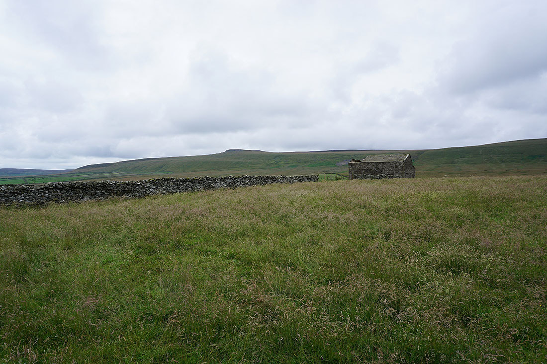
At the eastern end of Great Roova Crags I find this shooting hut built onto the rocks
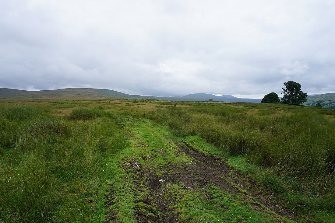
From Great Roova Crags I follow a shooter's track towards Ulfers Gill..
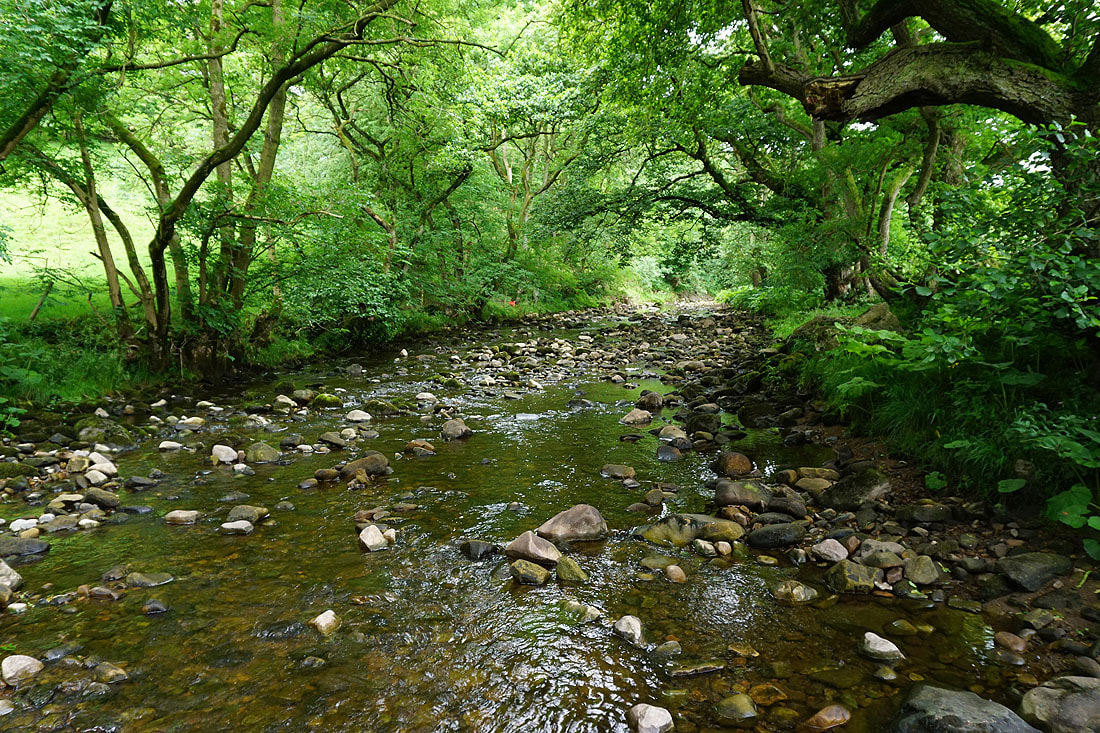
After a battle with heather and bracken I make it to the other side of Ulfers Gill. Looking down the gill to the rocks of Ulfers Crags.
and up to the gill's source on East Scrafton Moor
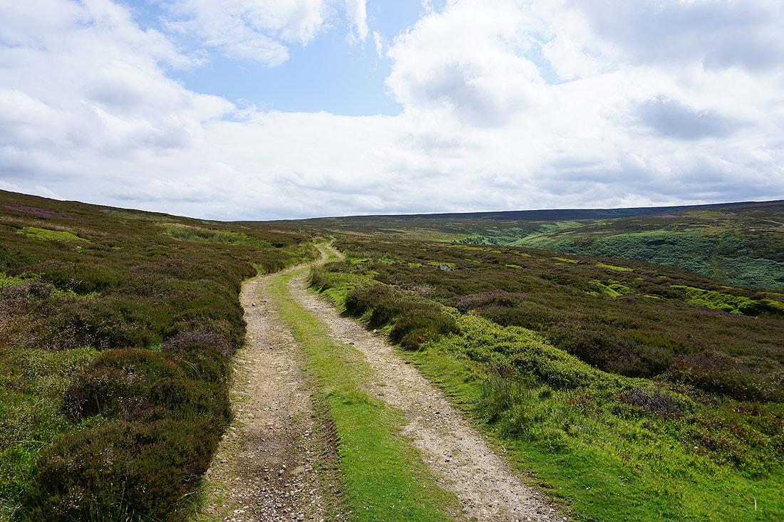
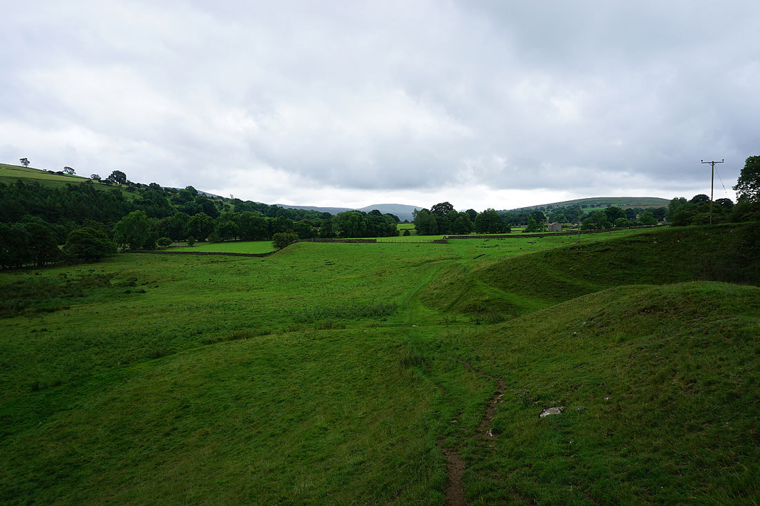
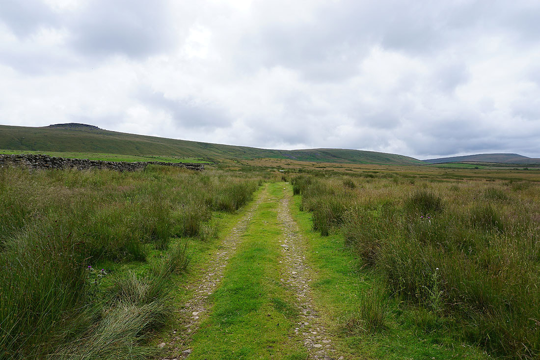
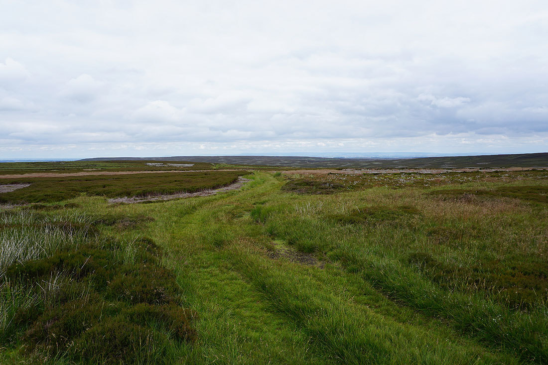
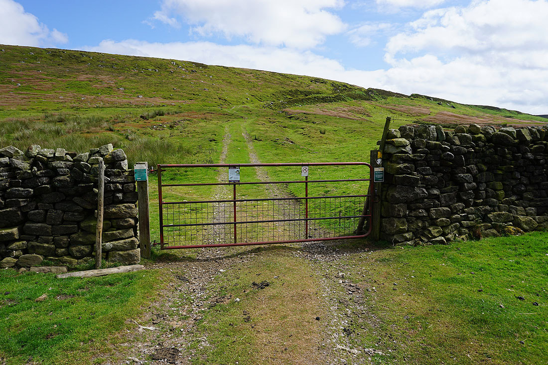
Looking back up onto the moors as I follow the track of the Red Way down to the gate at the edge of access land..
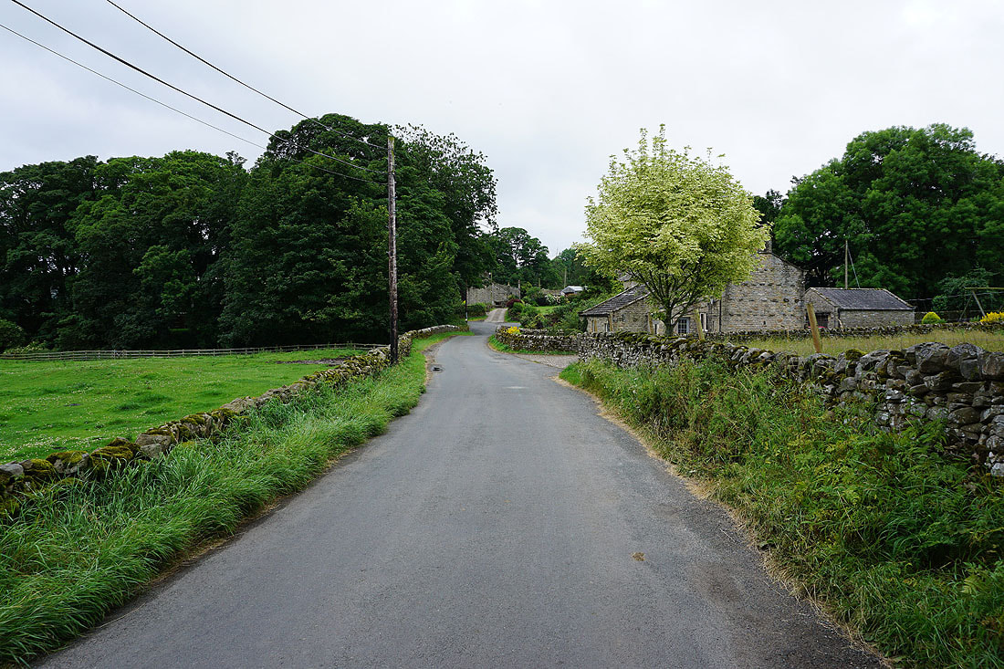
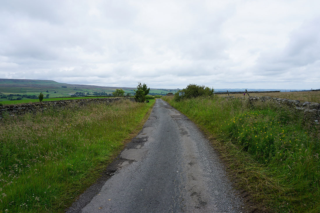
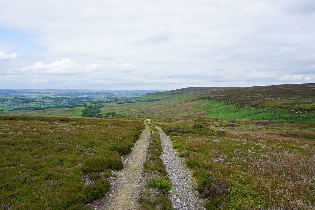
Walking down the track to Caldbergh in Coverdale..
Across the footbridge over Caldbergh Gill
I leave the road opposite East Scrafton for the footpath down to St. Simon's Bridge
It's a beautiful afternoon in Coverdale..
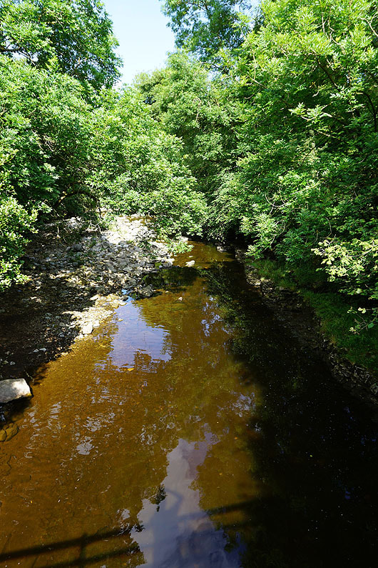
The River Cover from St. Simon's Bridge
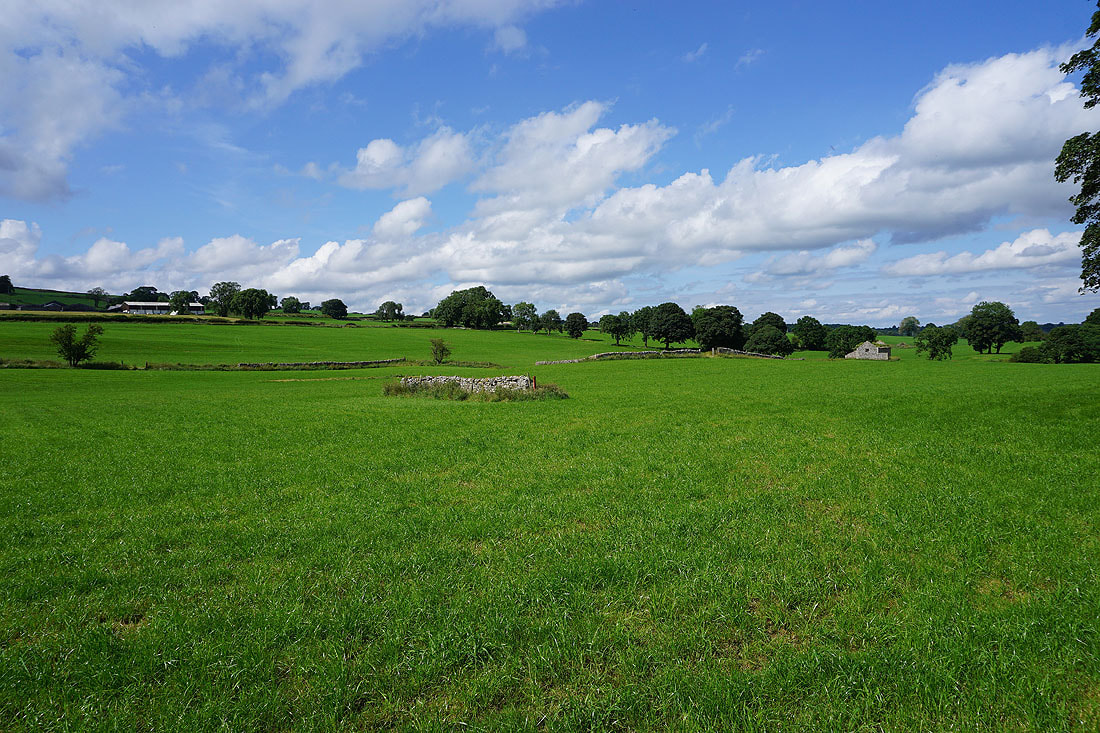
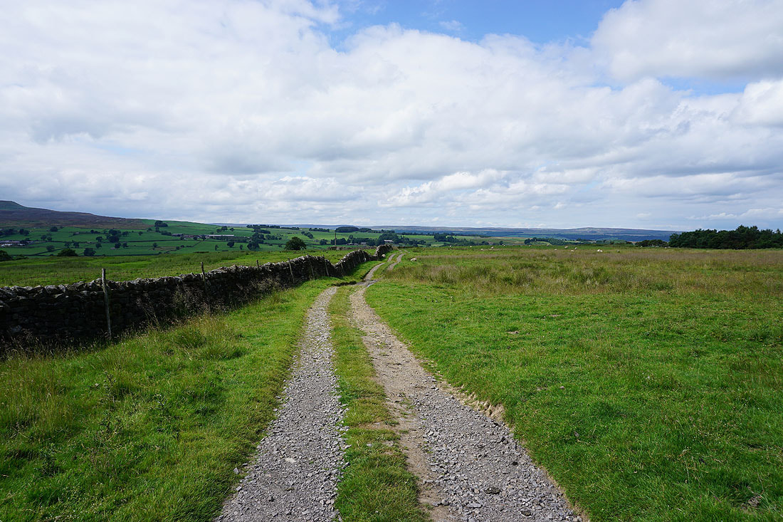
More pastoral scenery
Great Roova Crags on the other side of the valley
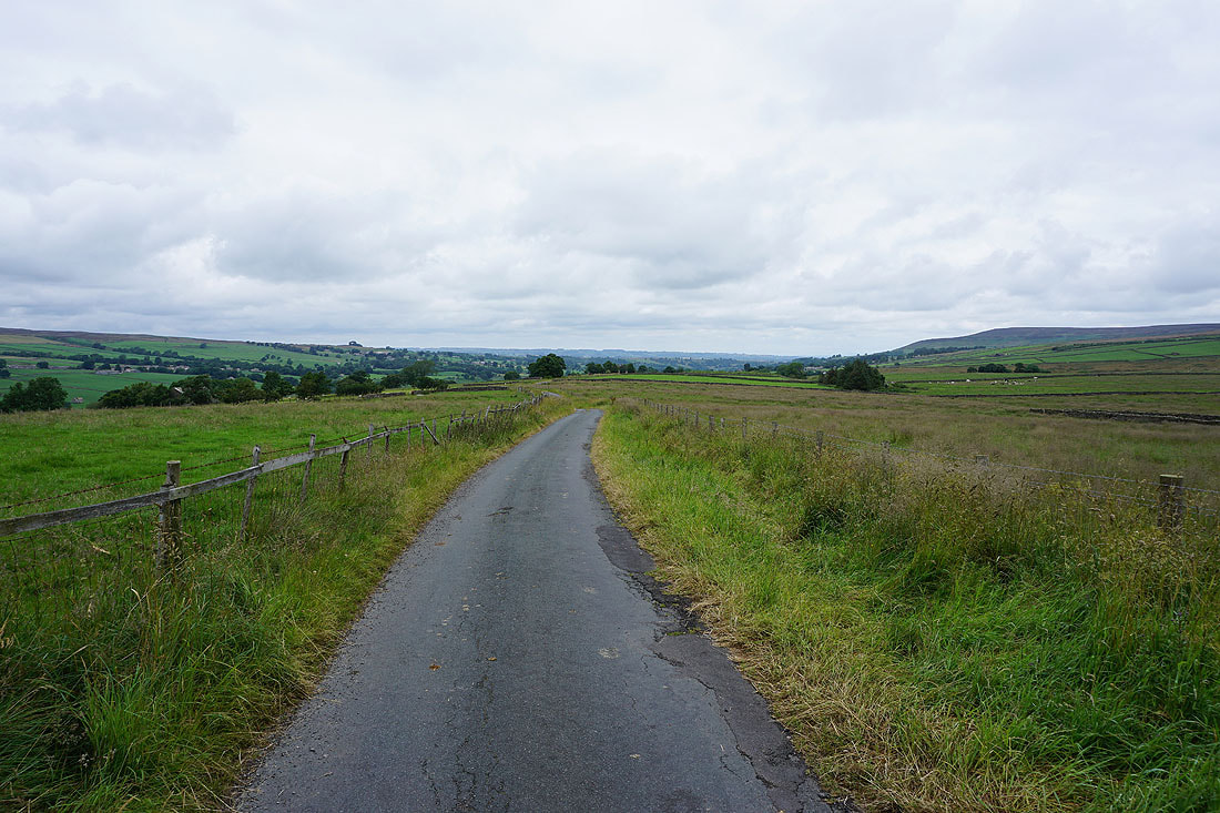
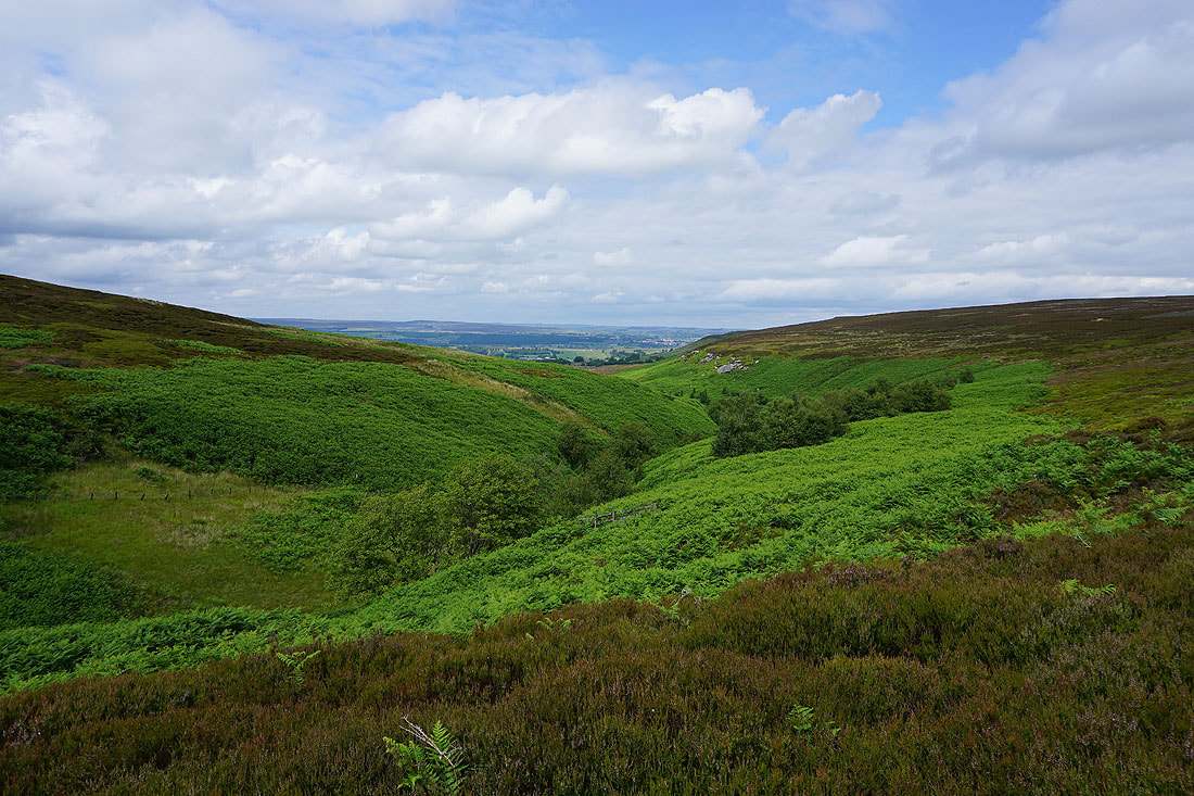
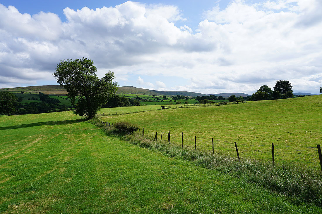
and the moors above Caldbergh, from the road back to Carlton
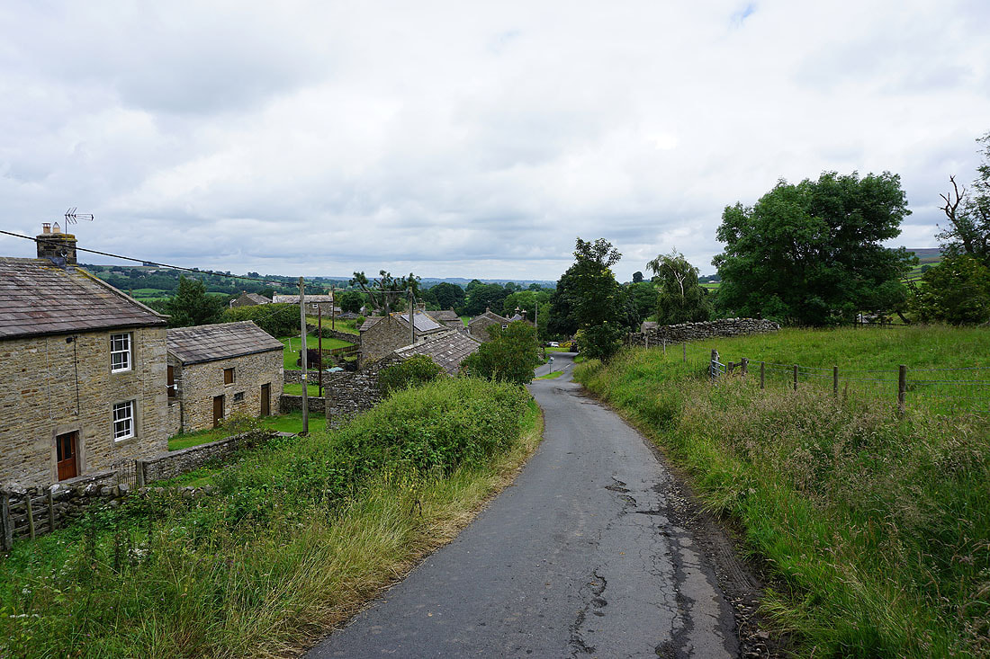
Back in Carlton, where I'm parked outside the village hall