14th June 2009 - A Kentmere Horseshoe
Walk Details
Distance walked: 13.1 miles
Total ascent: 3958 ft
OS map used: OL7 - The English Lakes, South-eastern area
Time taken: 6.5 hrs
Route description: Hallow Bank-High Lane-Kentmere-Garburn Road-Garburn Pass-Yoke-Ill Bell-Froswick-Thornthwaite Crag-High Street-Mardale Ill Bell-Nan Bield Pass-Harter Fell-Kentmere Pike-Goat Scar-Shipman Knotts-Stile End-Hallow Bank
Kentmere is a very difficult place to find a place to park unless you get there very early but there are a few places by the roadside at the top of High Lane at Hallow Bank. So, I didn't even bother to see if there was a spot in Kentmere and I went straight up High Lane to start the walk from there.
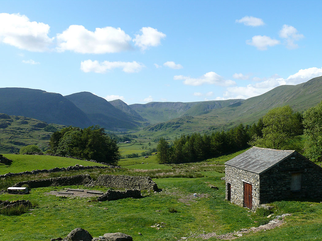
After parking at Hallow Bank I walked down and through Kentmere to take the Garburn Road upto the Garburn Pass. I then commenced the ridge walk around the head of the valley visiting in turn the summits of Yoke, Ill Bell, Froswick, Thornthwaite Crag, High Street, Mardale Ill Bell, Harter Fell, Kentmere Pike and finally Shipman Knotts. I then descended back to Hallow Bank by Stile End.
Total ascent: 3958 ft
OS map used: OL7 - The English Lakes, South-eastern area
Time taken: 6.5 hrs
Route description: Hallow Bank-High Lane-Kentmere-Garburn Road-Garburn Pass-Yoke-Ill Bell-Froswick-Thornthwaite Crag-High Street-Mardale Ill Bell-Nan Bield Pass-Harter Fell-Kentmere Pike-Goat Scar-Shipman Knotts-Stile End-Hallow Bank
Kentmere is a very difficult place to find a place to park unless you get there very early but there are a few places by the roadside at the top of High Lane at Hallow Bank. So, I didn't even bother to see if there was a spot in Kentmere and I went straight up High Lane to start the walk from there.
After parking at Hallow Bank I walked down and through Kentmere to take the Garburn Road upto the Garburn Pass. I then commenced the ridge walk around the head of the valley visiting in turn the summits of Yoke, Ill Bell, Froswick, Thornthwaite Crag, High Street, Mardale Ill Bell, Harter Fell, Kentmere Pike and finally Shipman Knotts. I then descended back to Hallow Bank by Stile End.
Route map
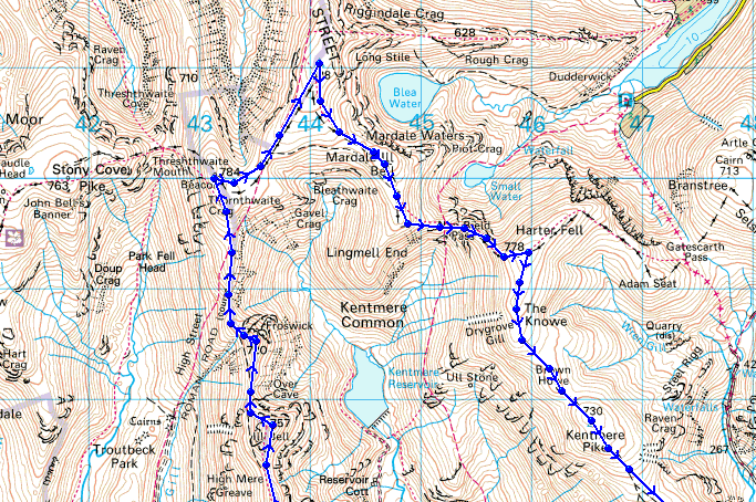
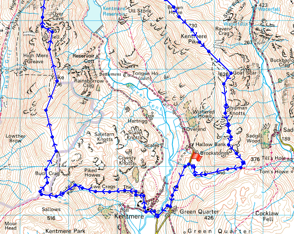
© Crown copyright. All rights reserved. License number PU 100034184.
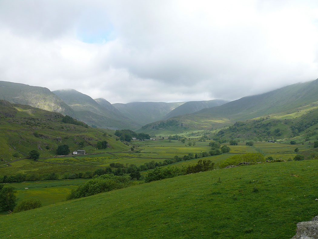
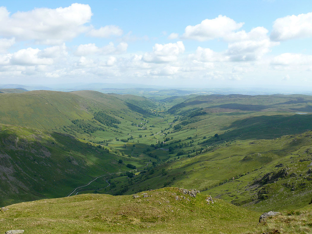
The view from the start of the walk up Kentmere from Hallow Bank
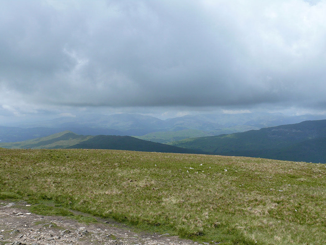
On the summit of Yoke. The view southwest towards the Coniston fells.
Red Screes and Caudale Moor with Helvellyn in the gap
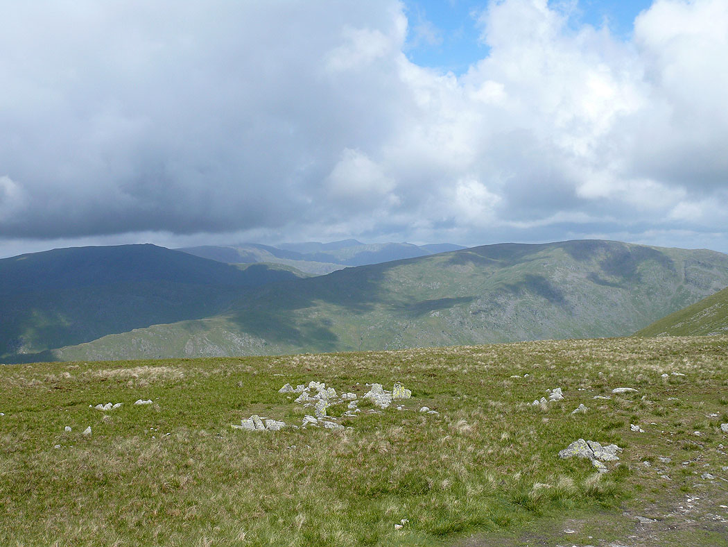
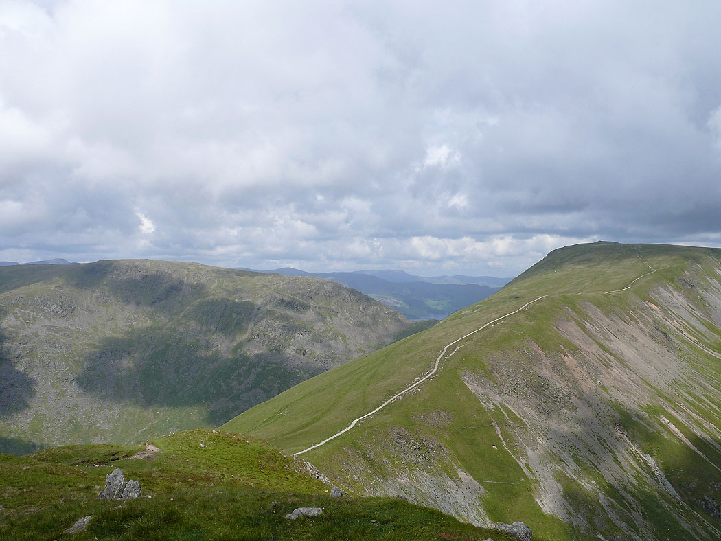
The next bit of the horseshoe ahead, Ill Bell and High Street
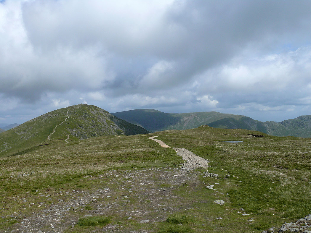
On Ill Bell. Froswick, Thornthwaite Crag and High Street the next stops.
Kentmere below
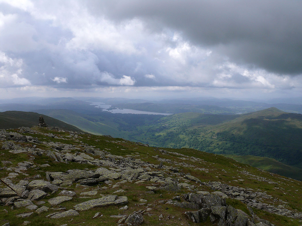
Windermere from Ill Bell
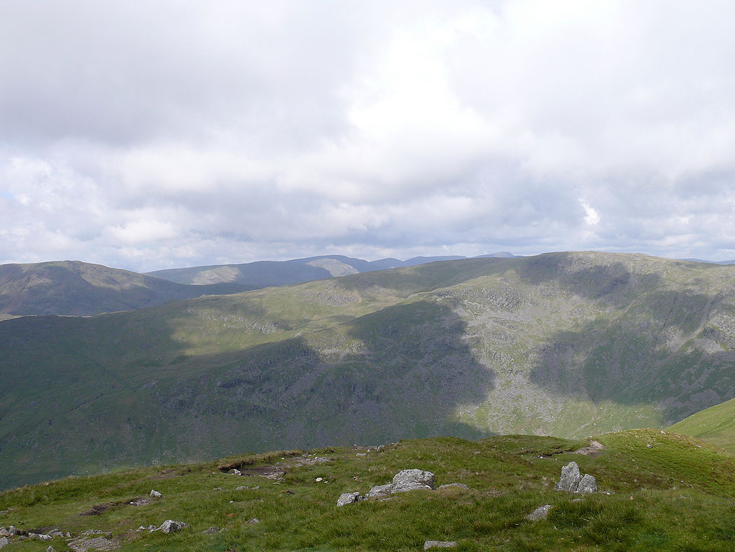
Caudale Moor and Thornthwaite Crag
Red Screes and Caudale Moor with Helvellyn in the distance

The view across to the Coniston fells and Crinkle Crags
The Coniston fells and Crinkle Crags from Froswick
Caudale Moor and Thornthwaite Crag
Red Screes and Caudale Moor with Fairfield in the distance
Ill Bell and Windermere
Windermere from Thornthwaite Crag
Coniston fells, Crinkle Crags and Bowfell in the distance with Red Screes closer at hand
Looking northwest to Helvellyn and the Dodds
The Dodds and Blencathra in the distance from High Street
Fairfield and the Helvellyn range
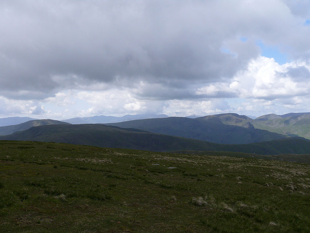
The Crinkle Crags, Bowfell, the Scafells and Great Gable on the distant horizon with Red Screes, Caudale Moor, Dove Crag and Fairfield closer
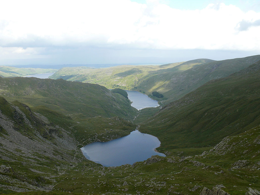
Small Water and Haweswater from Mardale Ill Bell
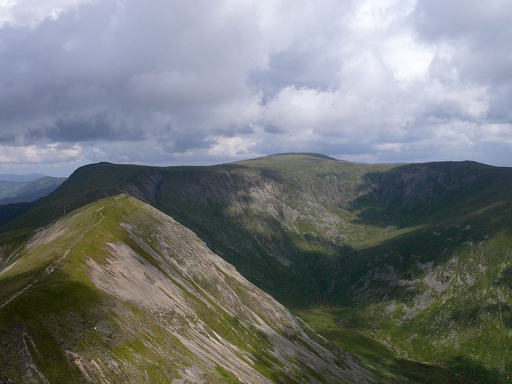
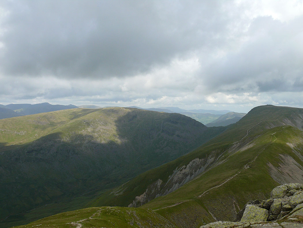
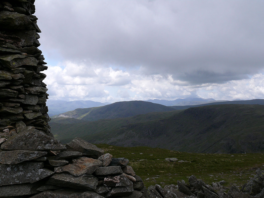
On the summit of Harter Fell. The Coniston fells and Crinkle Crags behind Ill Bell and Froswick.
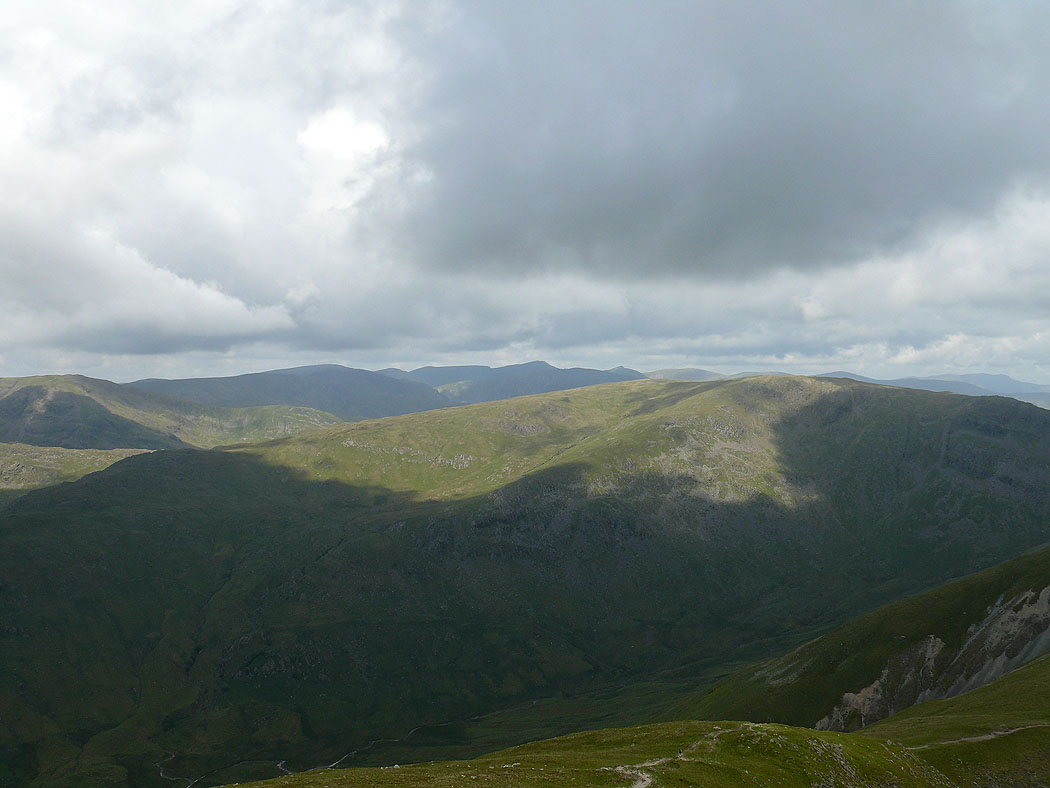
The view to the northwest with Helvellyn being the high point on the right
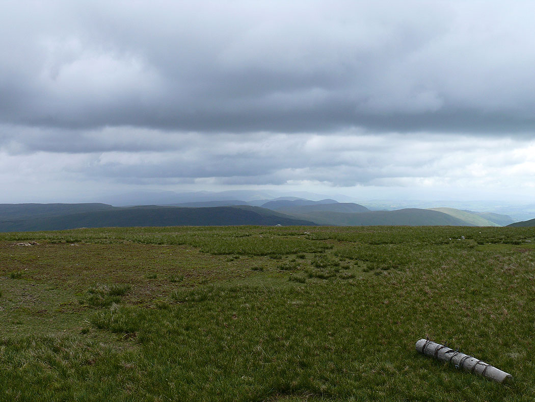
The Shap fells
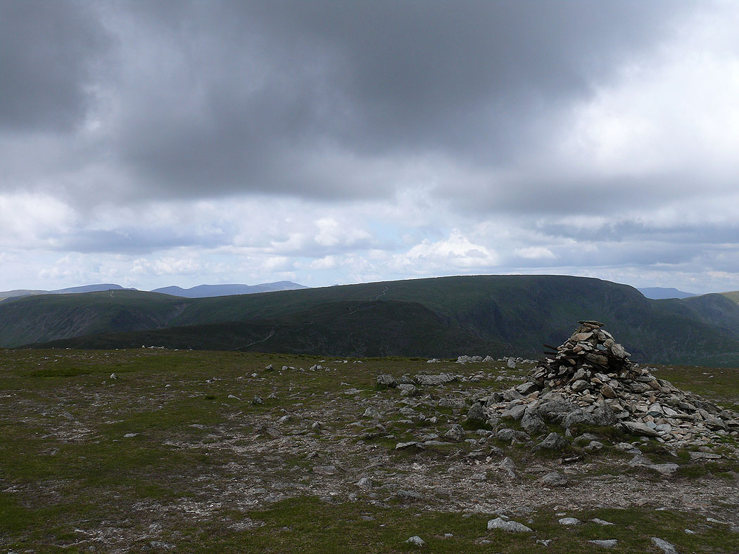
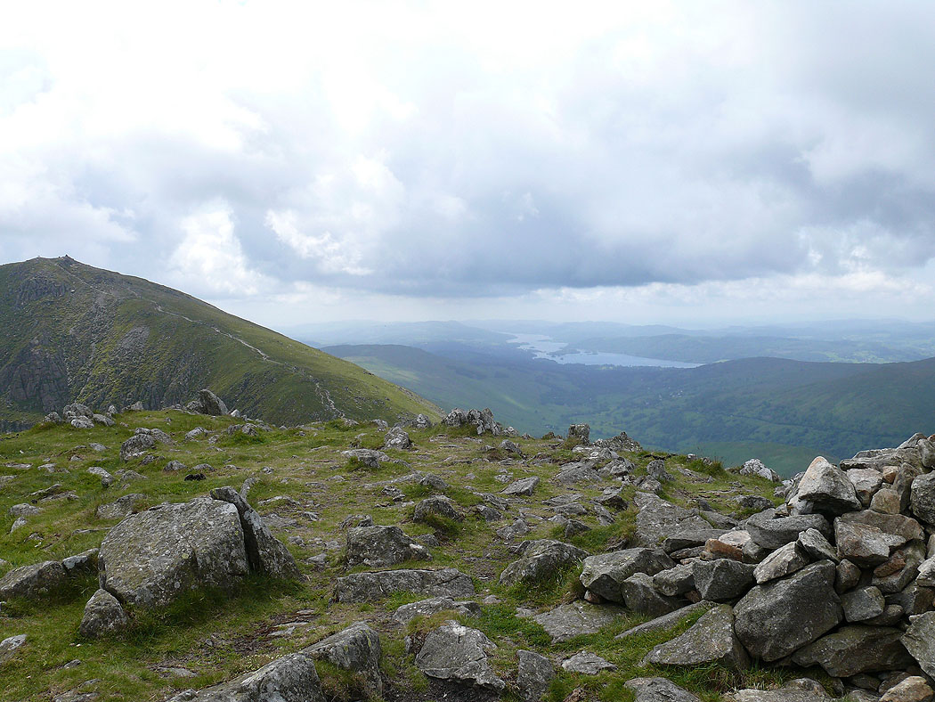
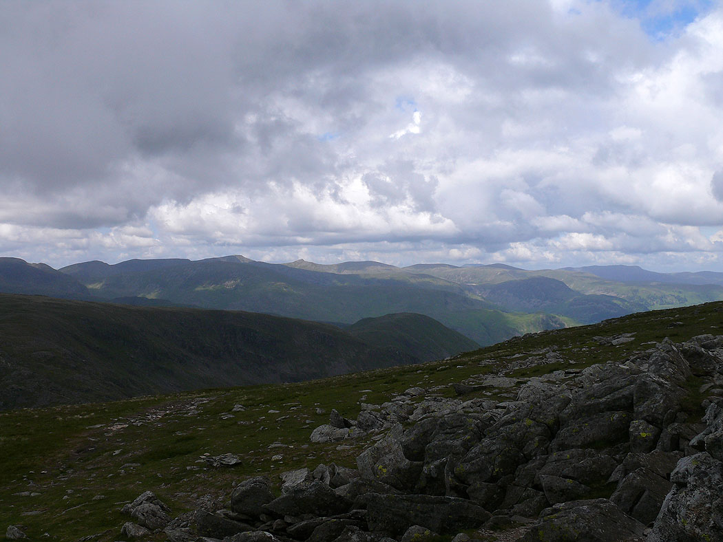
High Street from Harter Fell
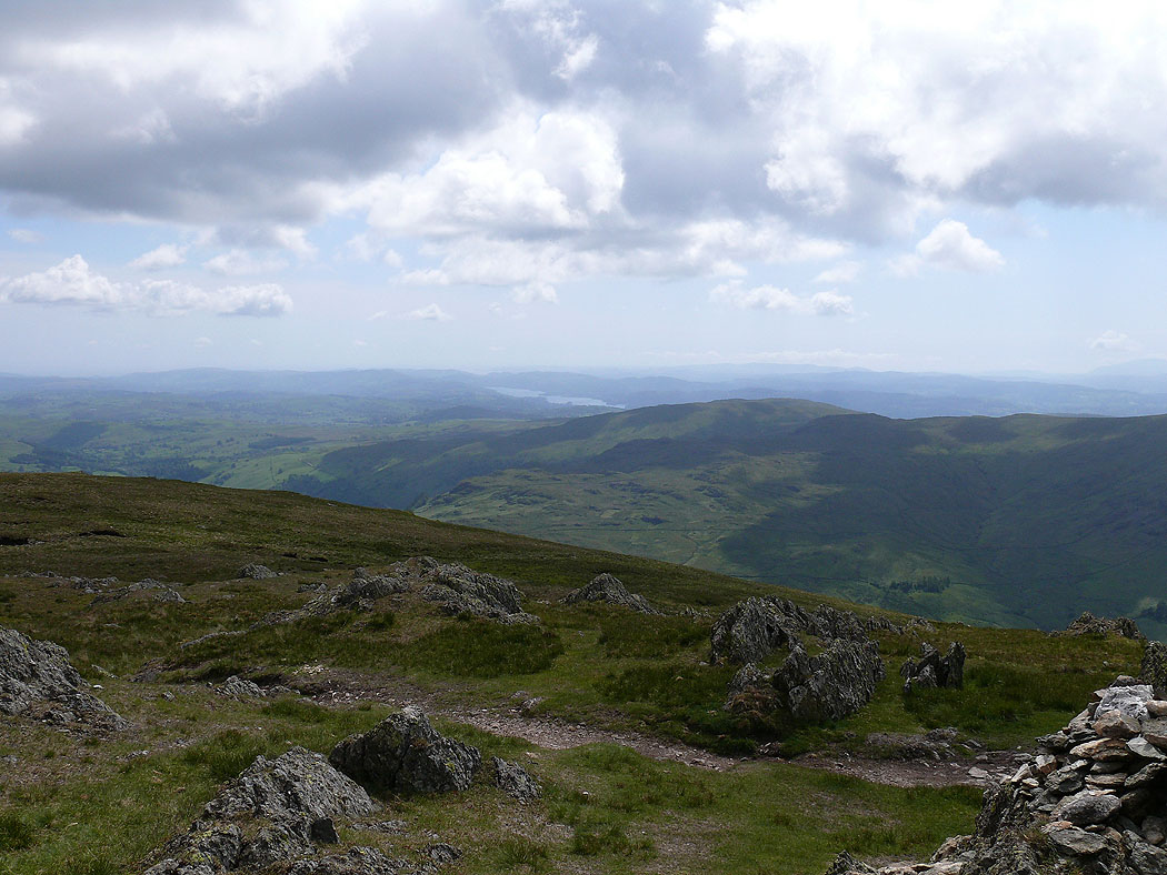
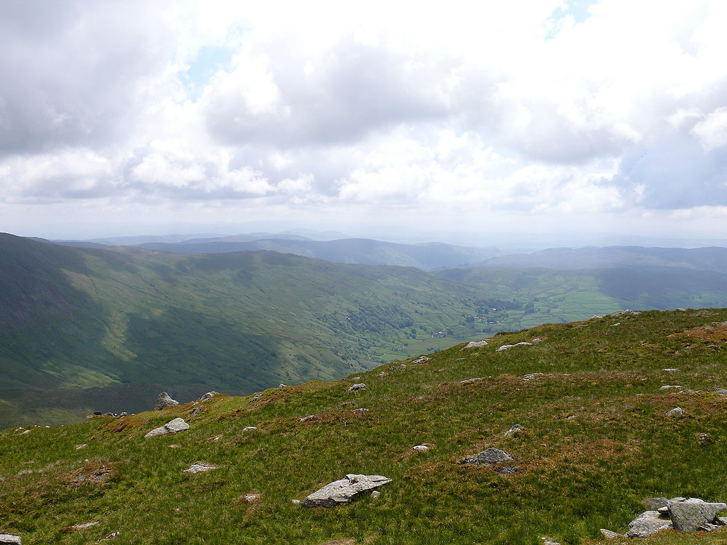
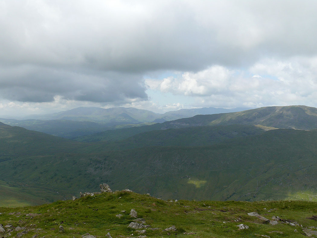
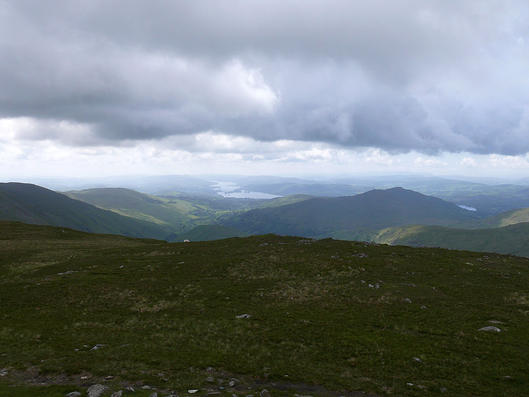
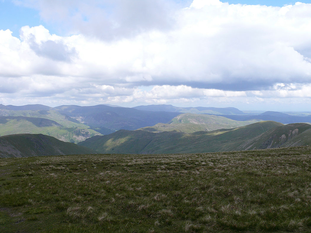
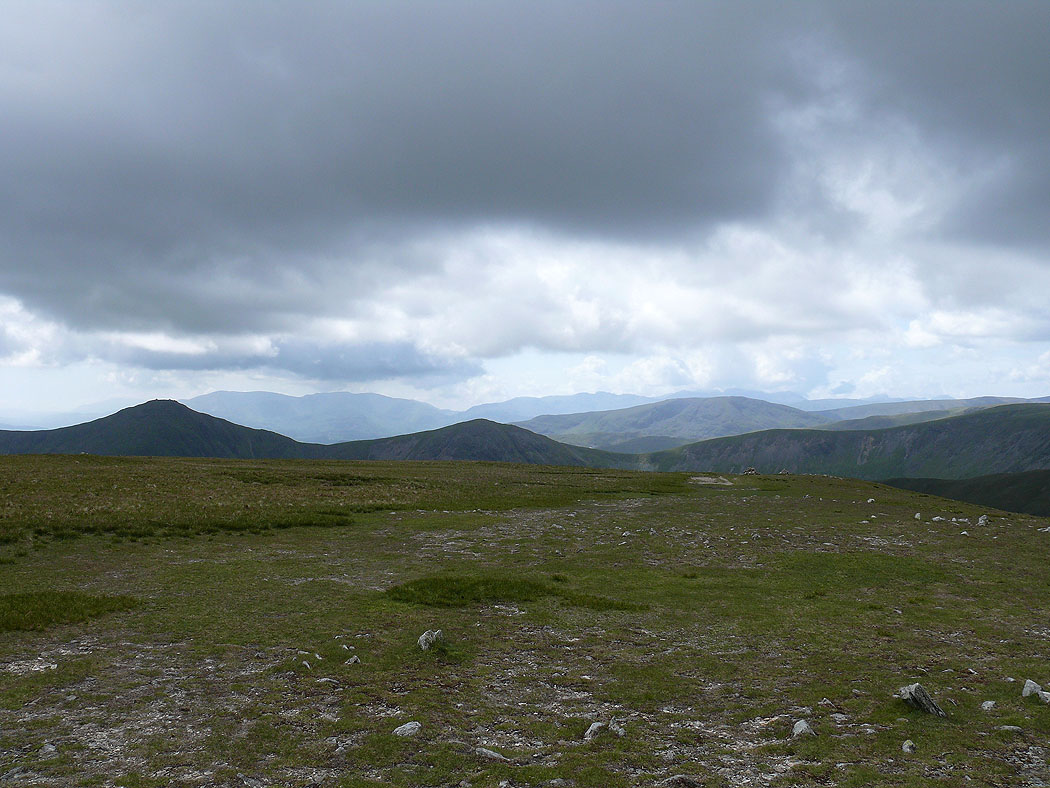
The view to Windermere from Kentmere Pike
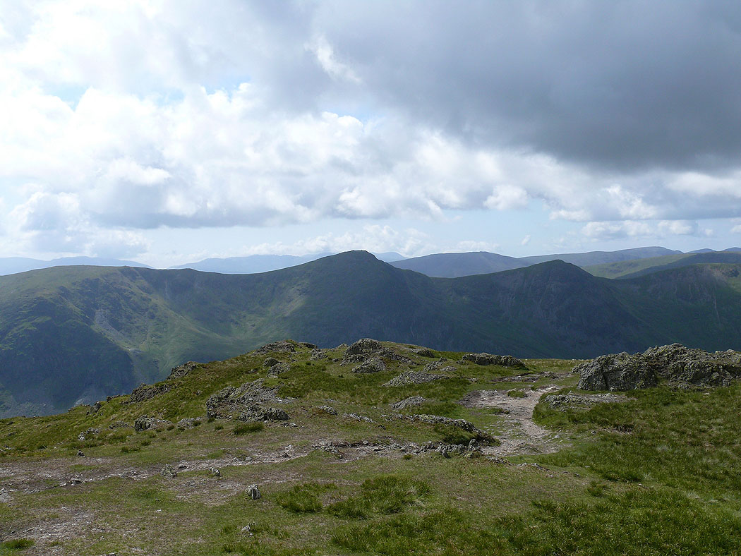
Yoke, Ill Bell & Froswick
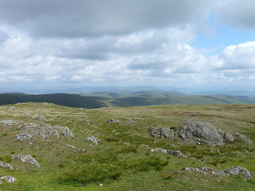
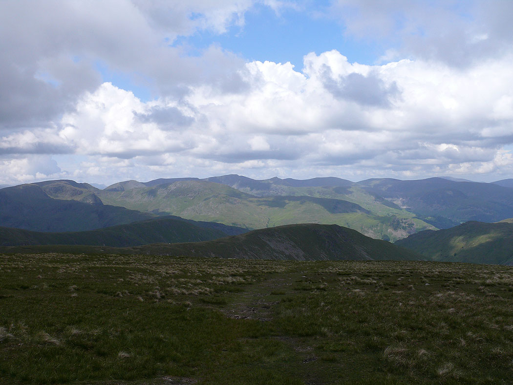
The Shap fells with the Howgills in the distance
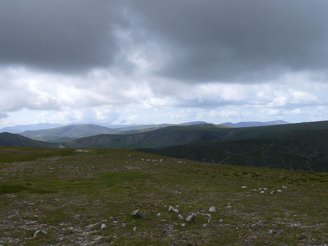
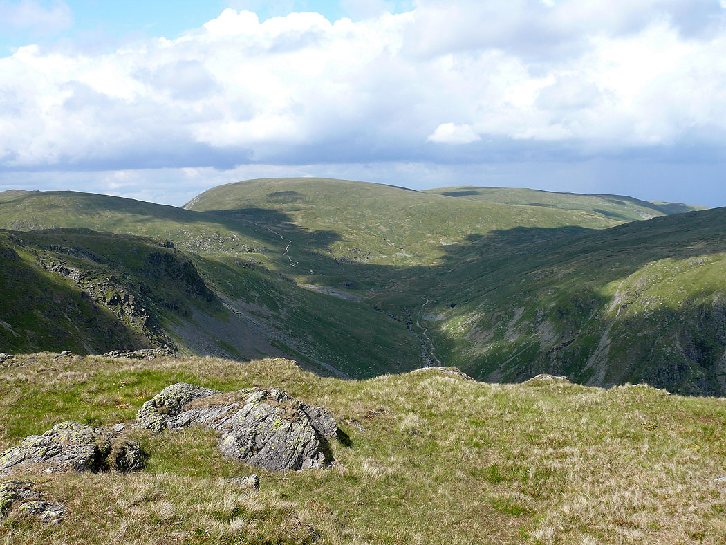
Longsleddale from the top of Goat Scar
Harter Fell from Goat Scar
A beautiful end to the day with this view of Kentmere from Stile End