14th June 2011 - Baugh Fell
Walk Details
Distance walked: 10.9 miles
Total ascent: 2049 ft
OS map used: OL19 - Howgill Fells & Upper Eden Valley
Time taken: 8 hrs
Route description: Rawthey Bridge, A683-River Rawthey-Rawthey Gill Foot-Rawthey Gill-Gill Head-Tarn Rigg Hill-Knoutberry Haw-West Baugh Fell Tarn-Bluecaster-Rawthey Bridge, A683
A walk up Baugh Fell from Rawthey Bridge. I parked in the large lay-by at Rawthey Bridge and used the bridleway that follows the River Rawthey upstream to where it ends at the large waterfall in the ravine. From then on it was a case of following Rawthey Gill to its source on Baugh Fell. There is no path and the going underfoot can be difficult in the gill. After I'd reached Tarn Rigg Hill, the summit of Baugh Fell, I made my way across to Knoutberry Haw. The long descent down West Baugh Fell visiting West Baugh Fell Tarn on the way was done. I made a brief stop on the top of Bluecaster (a small hill on the north flank of Baugh Fell) before finally ariving back at Rawthey Bridge.
Route map
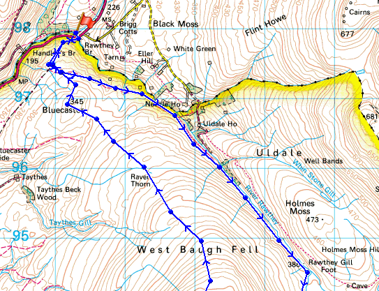
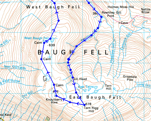
© Crown copyright. All rights reserved. License number PU 100034184.
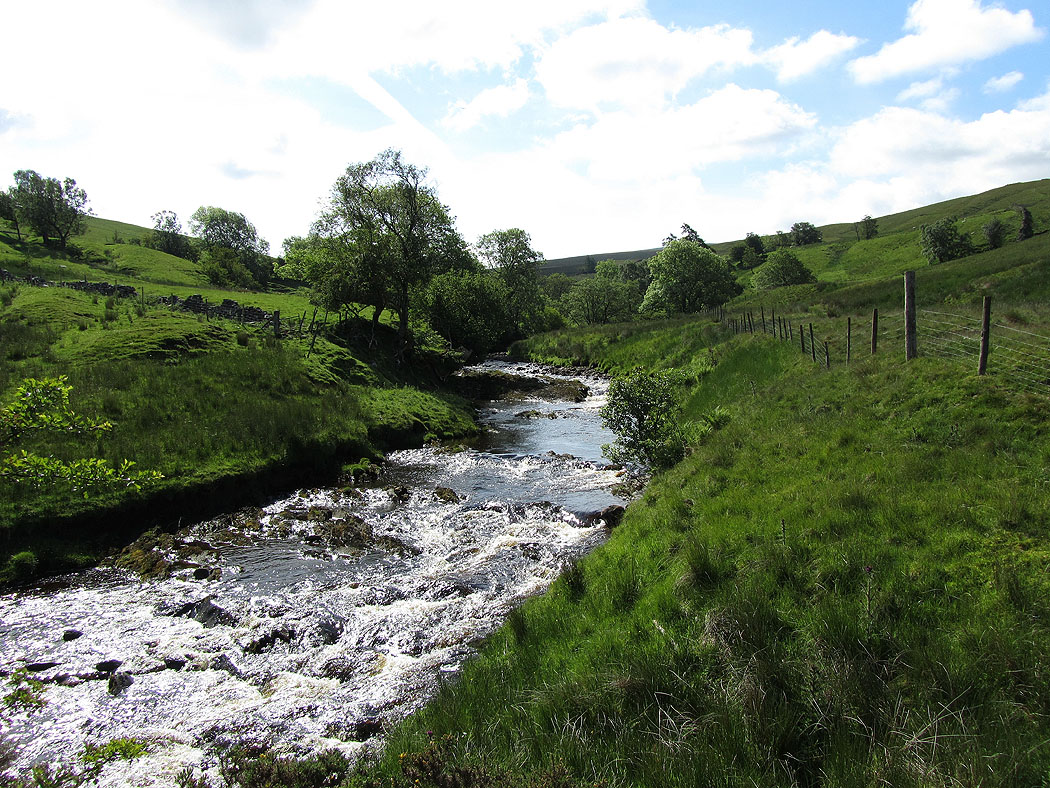
The River Rawthey at Rawthey Bridge
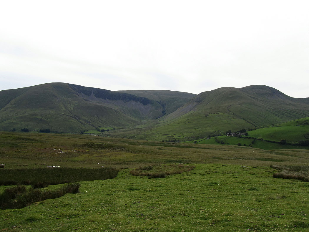
Cautley Crag
Wild Boar Fell and Swarth Fell
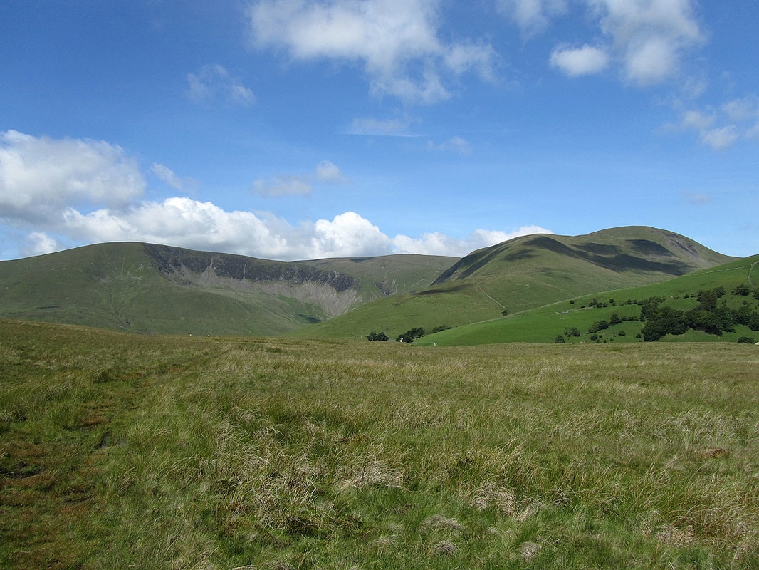
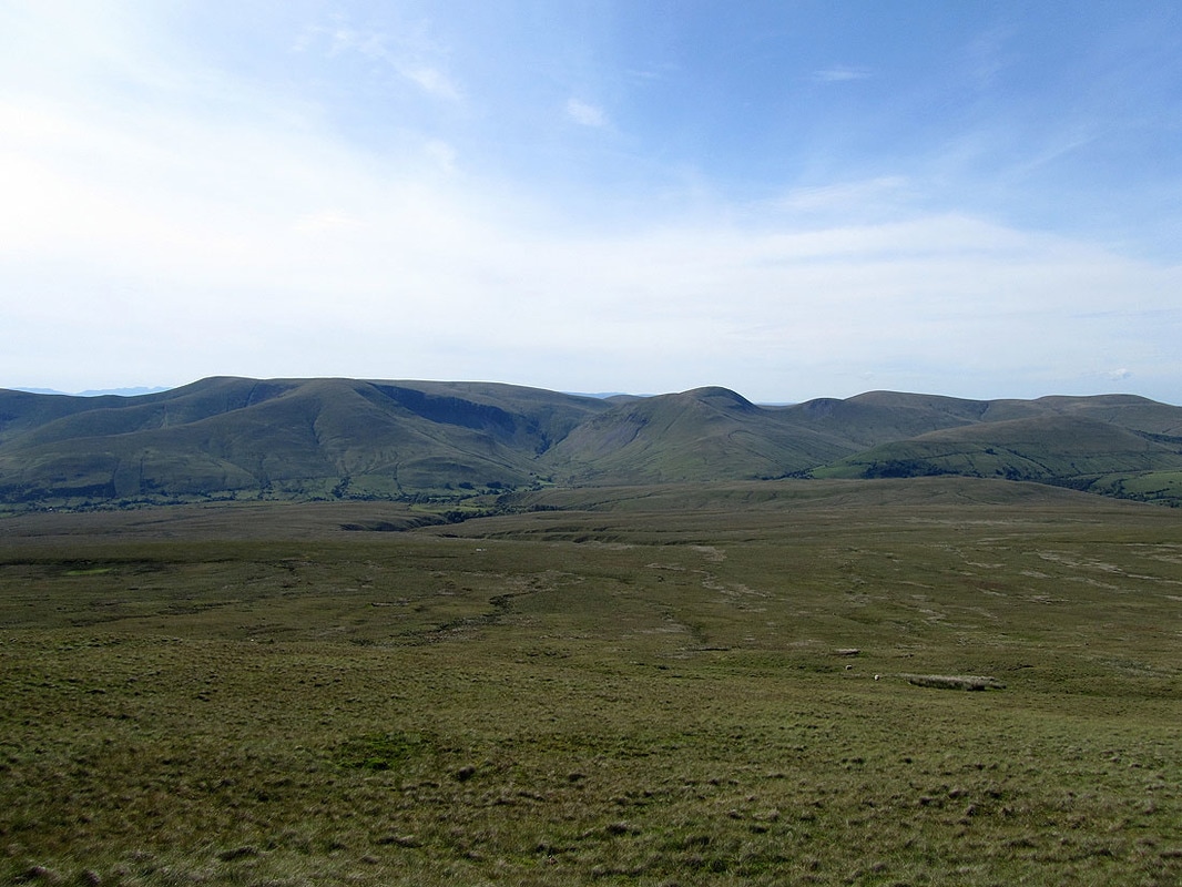
Cautley Crag and Yarlside
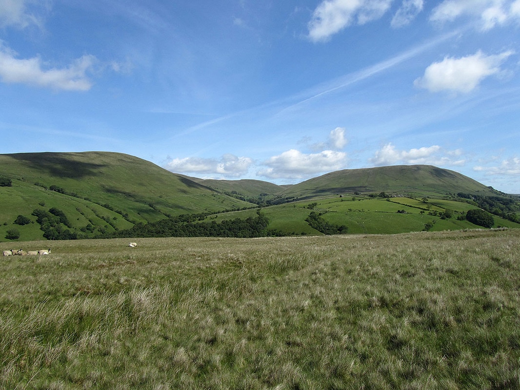
Wandale Hill and Harter Fell
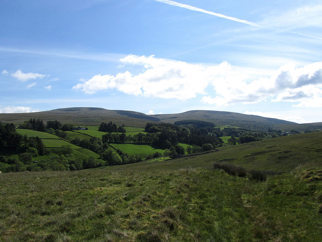
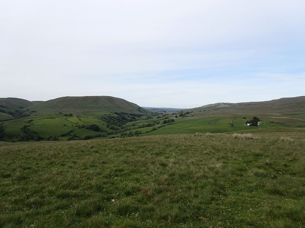
Walking above the Rawthey valley
Wild Boar Fell and Swarth Fell
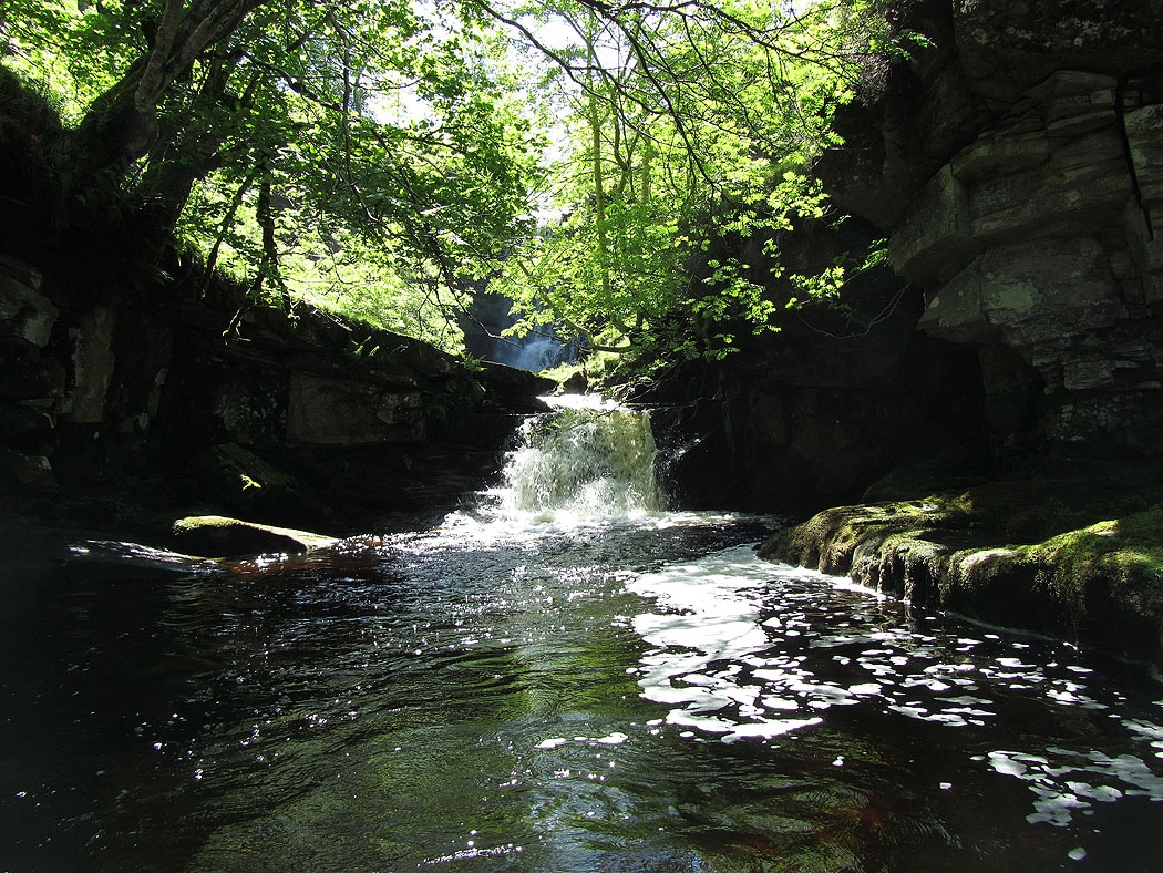
The Rawthey. At this point the path comes down to the river at a footbridge. Don't cross it though and follow the path that continues along the south bank of the river.
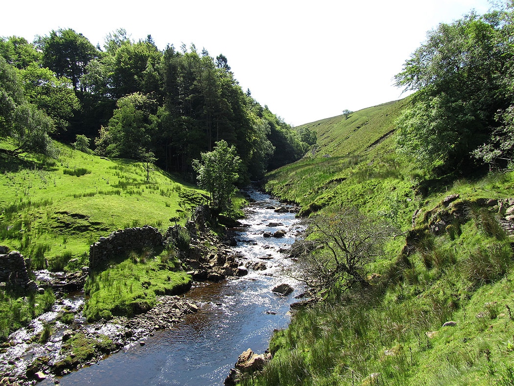
The River Rawthey
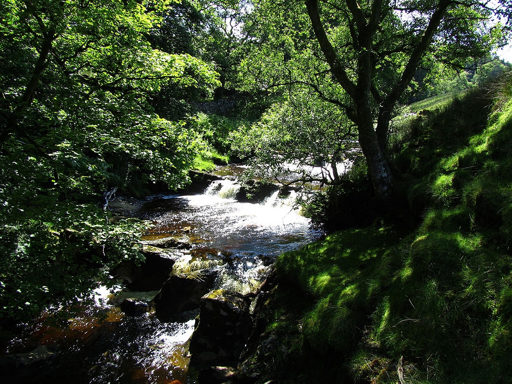
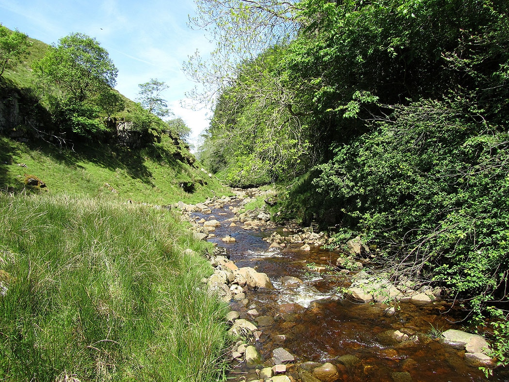
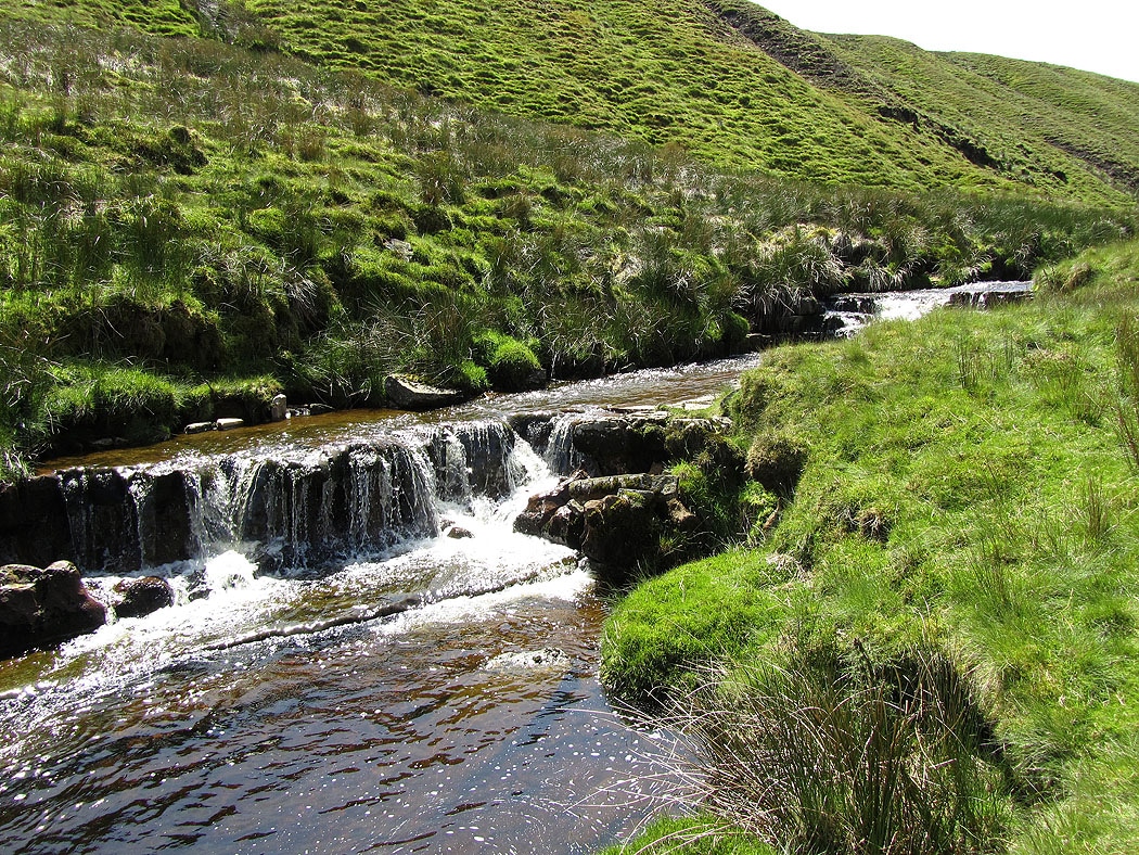
Waterfalls on the river..
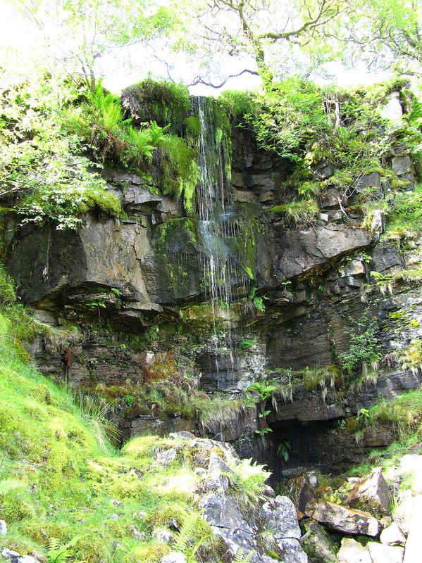
One of several small waterfalls falling over the south edge of the ravine that the river flows through at this point
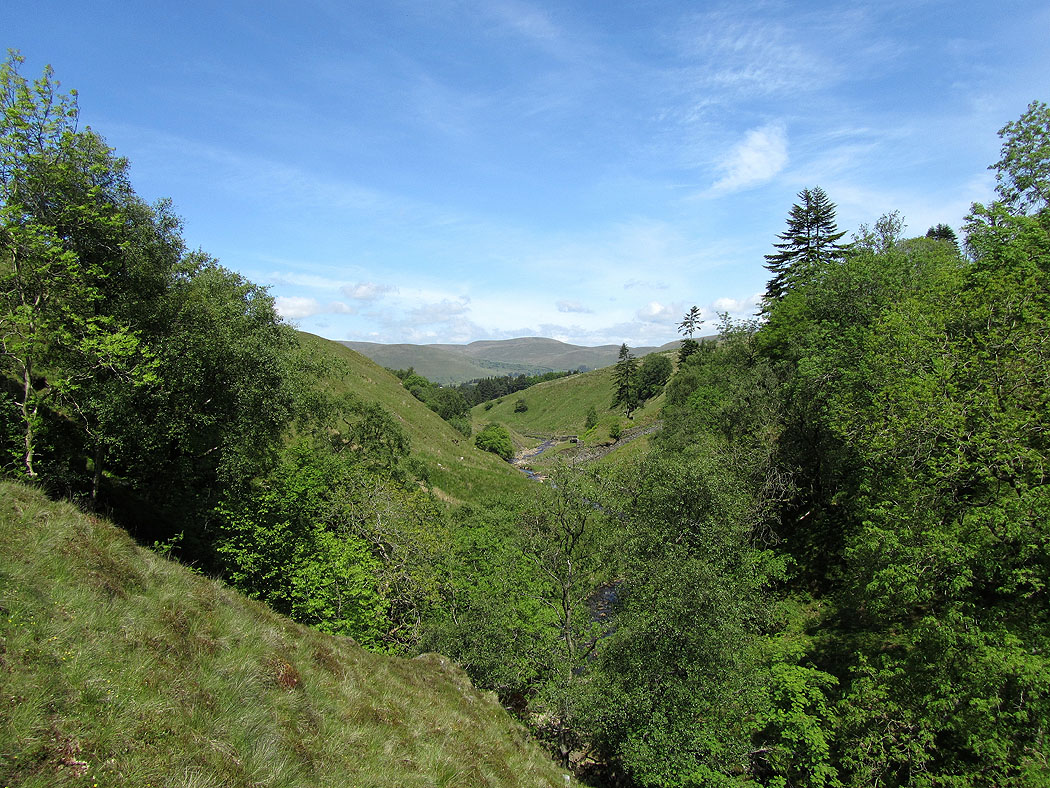
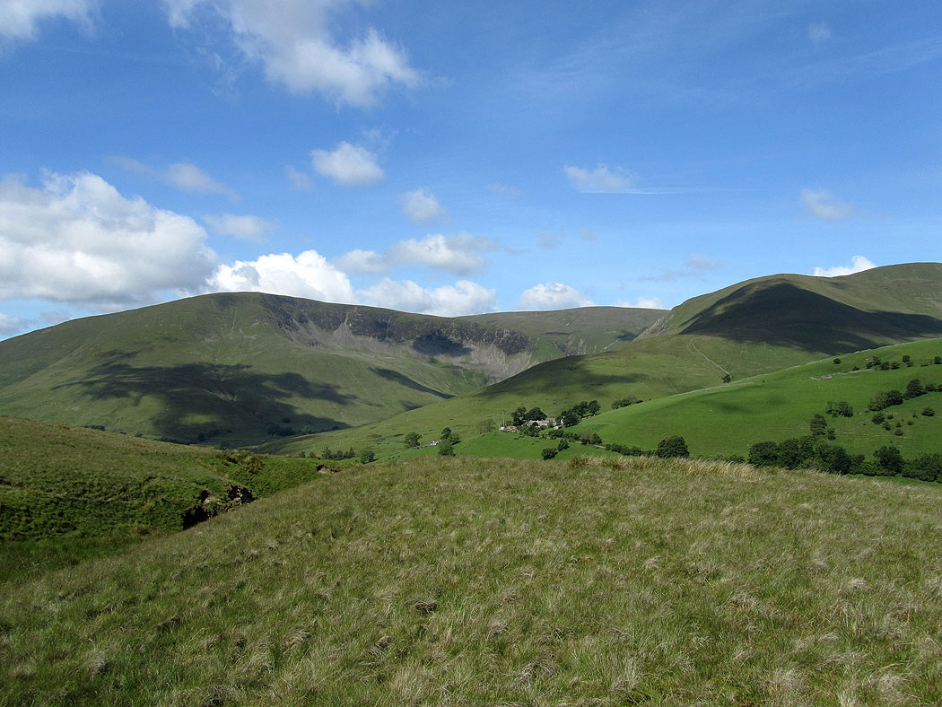
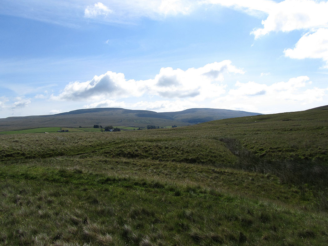
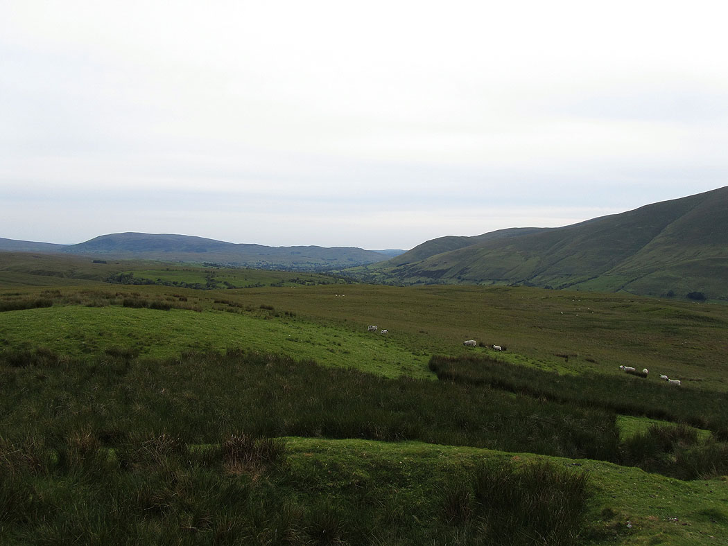
Looking back along the valley to the Howgills
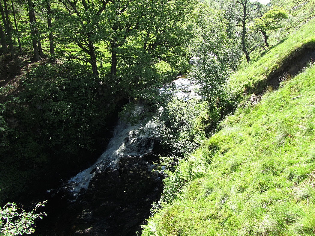
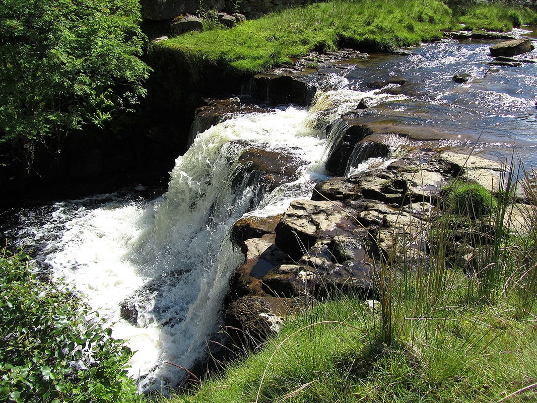
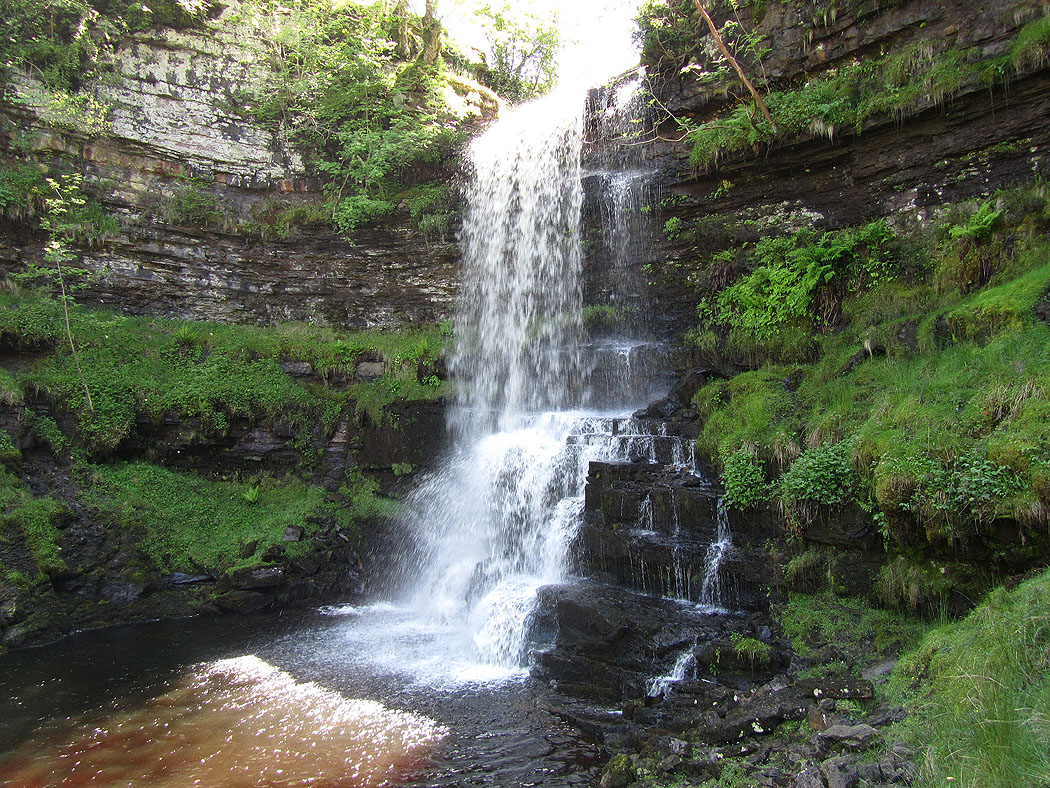
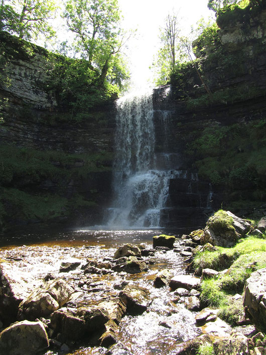
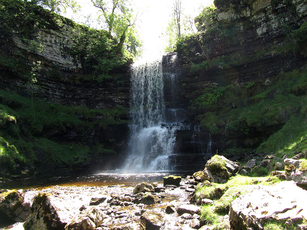
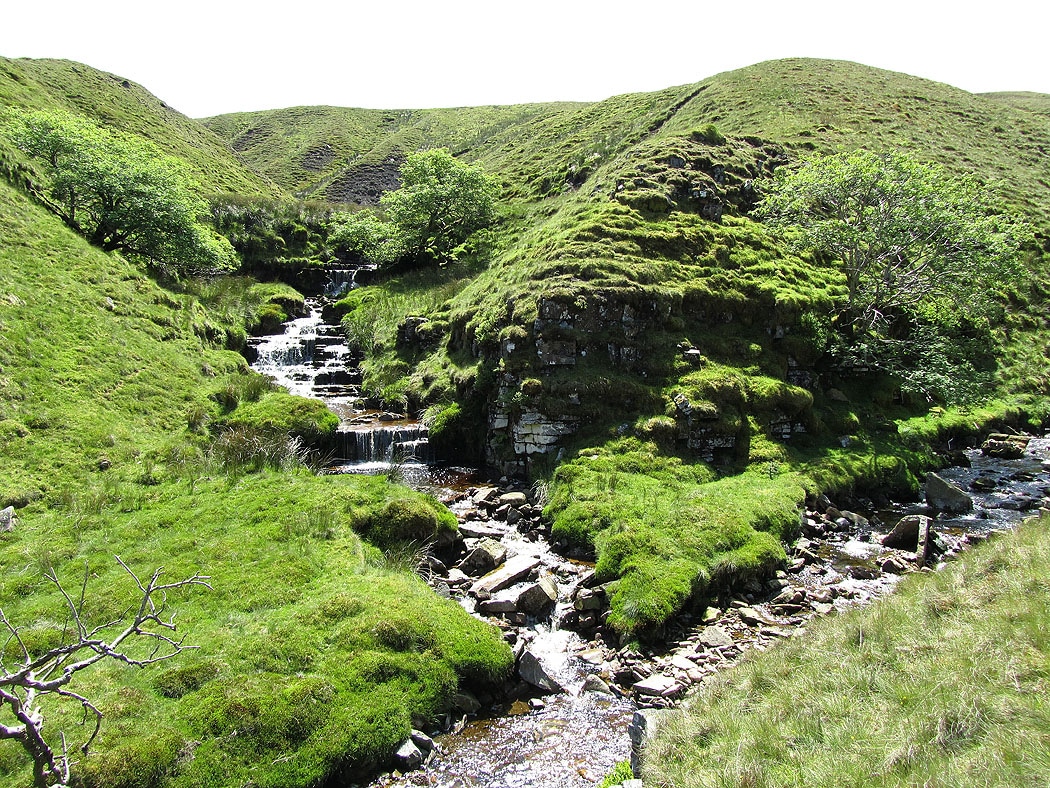
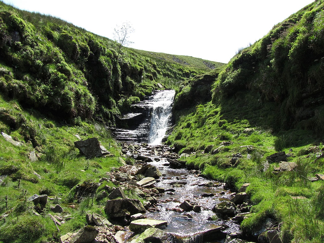
This fall is hiding the main attraction just above it. There is a faint path to the right that gives access to the main fall.
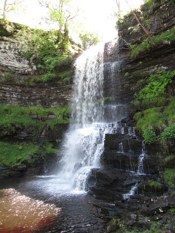
Uldale Force. The main fall on the Rawthey...
There is no way out from here but to backtrack to before the lower fall and then make a steep climb uphill
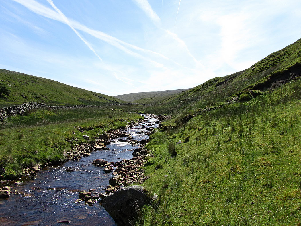
Following Rawthey Gill up its valley.....
At this point I left the bed of the gill and made my way up on the hillside beside it
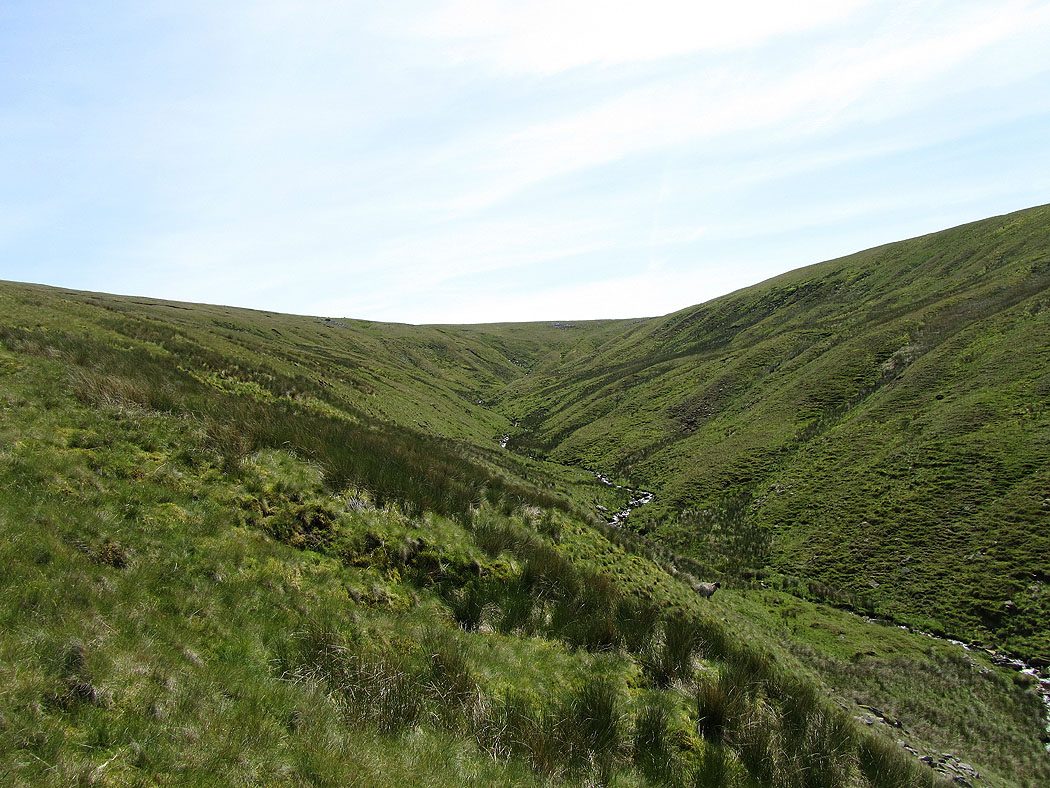
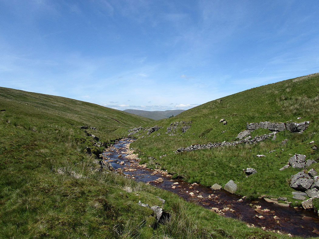
The view up to the head of Rawthey Gill
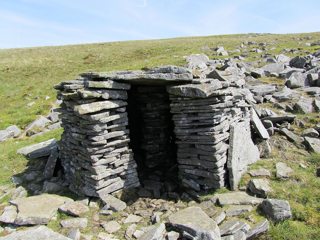
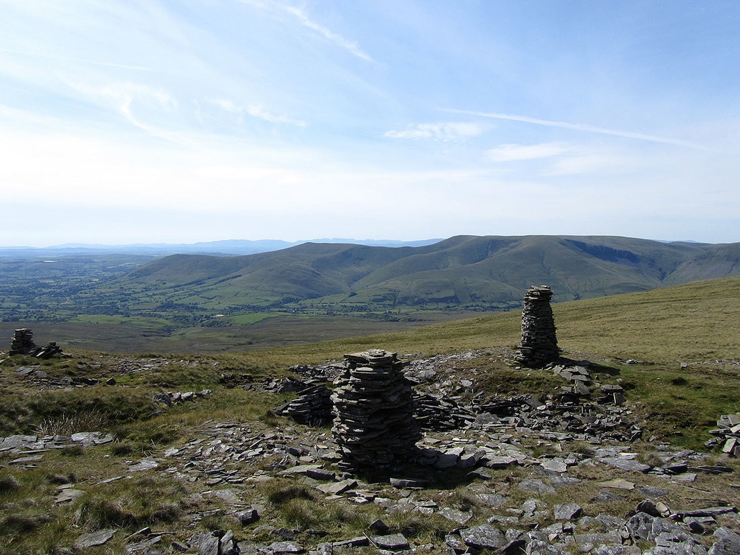
I was surprised to find this stone shelter. It's circular and there's a central pillar of stones inside to support the roof.
On the summit of Tarn Rigg Hill, the high point of Baugh Fell
Wild Boar Fell and High Seat around Mallerstang
Great Shunner Fell and Lovely Seat in the distance with a glimpse of Wensleydale on the right
The three peaks of Penyghent, Ingleborough and Whernside. The summit of Ingleborough is almost hidden by Whernside.
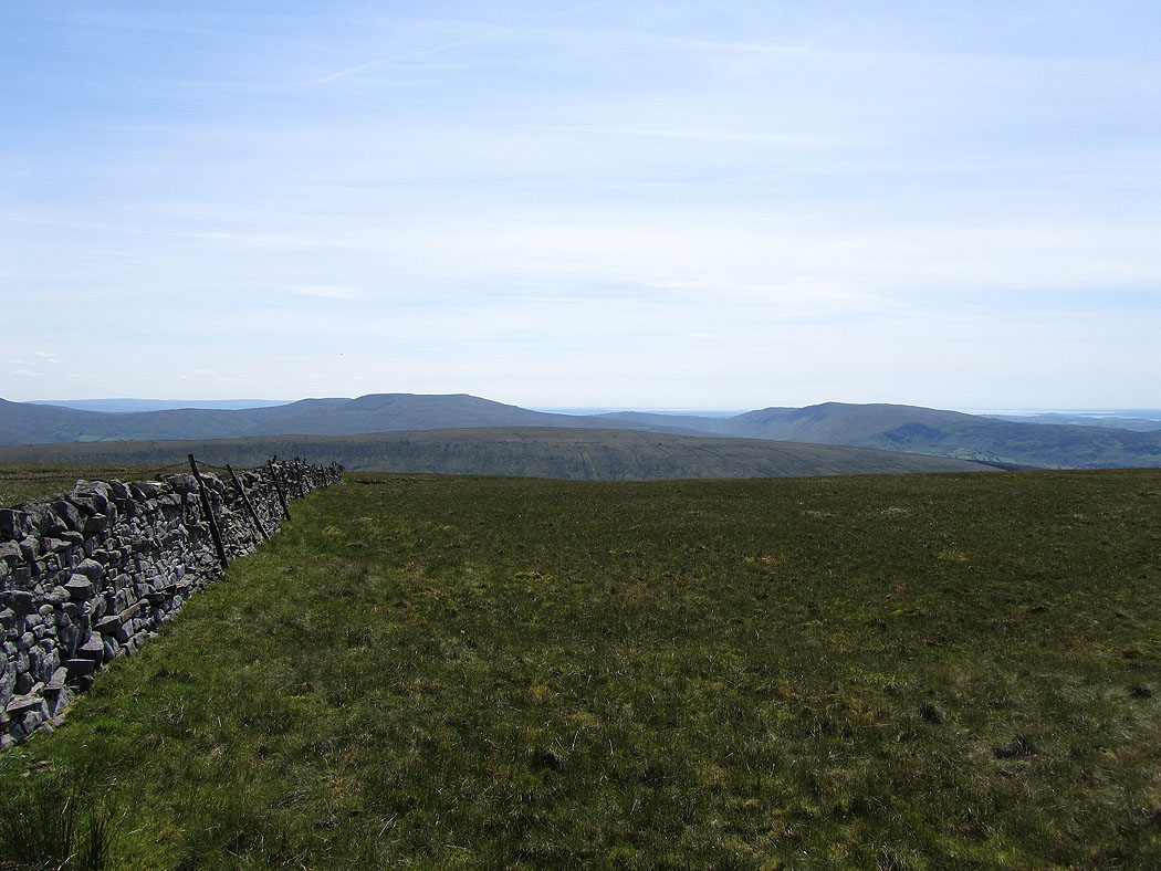
Great Coum and Calf Top
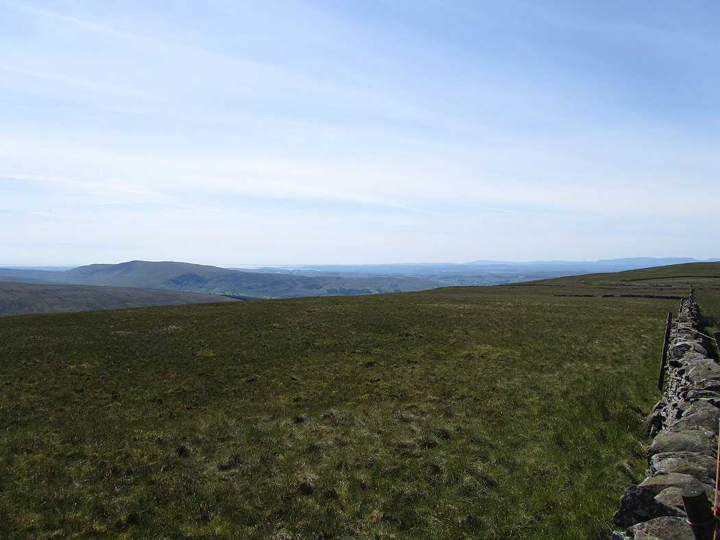
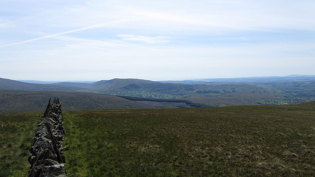
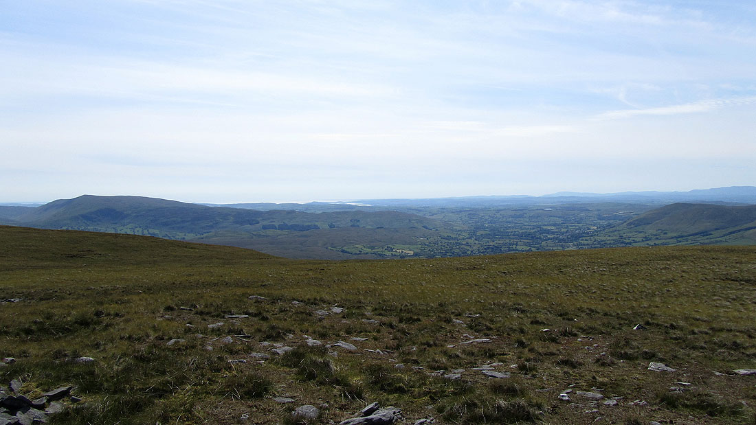
Calf Top and Morecambe Bay beyond
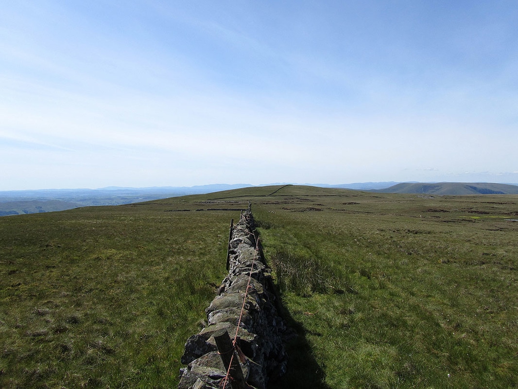
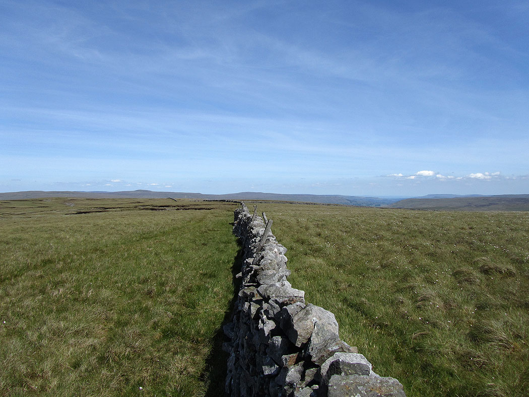
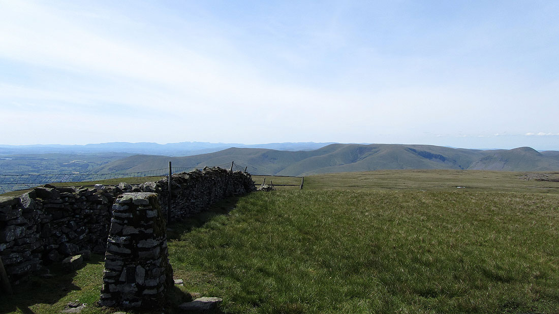
Along the wall is Knoutberry Haw
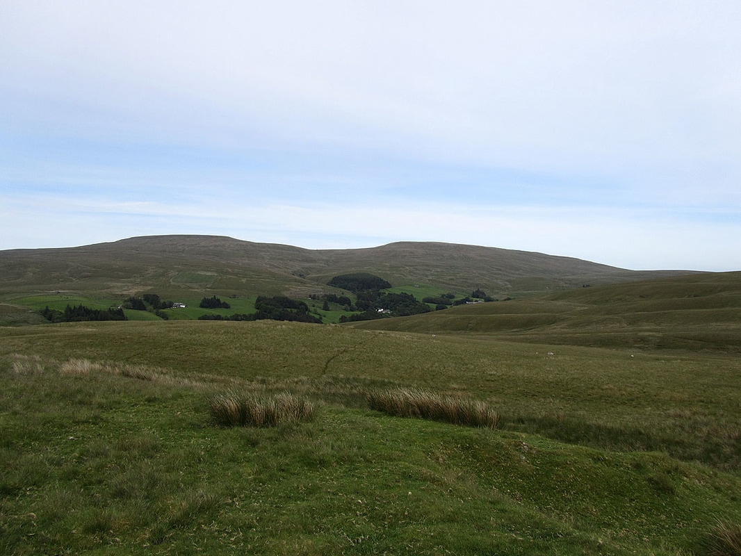
The Howgills
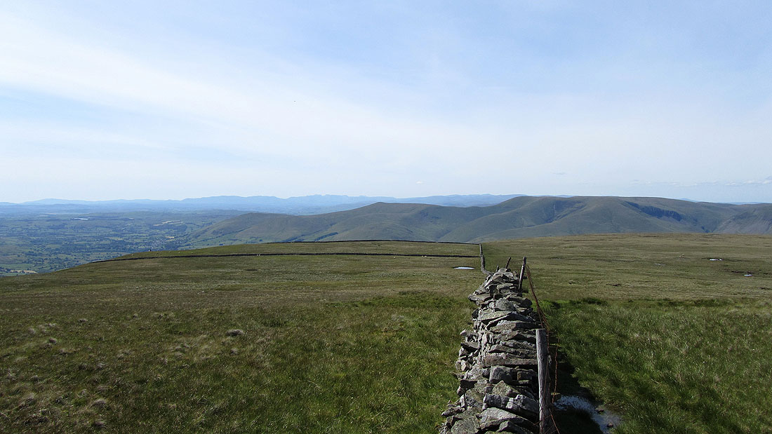
On Knoutberry Haw with a view of the Howgills and the Lake District fells in the distance
The Howgills
A view to the distant North Pennines with Wild Boar Fell on the right
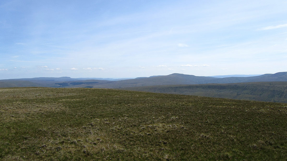
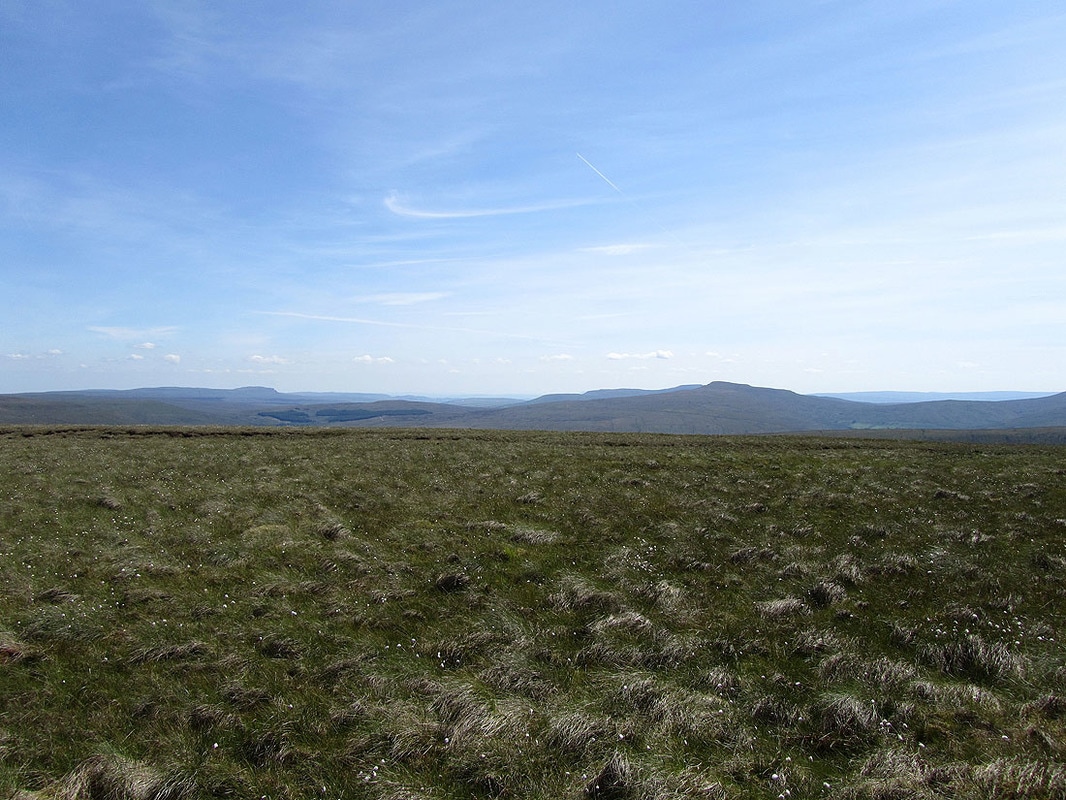
Penyghent and Whernside. The summit of Ingleborough is hidden by Whernside.
Calf Top
Knoutberry Haw
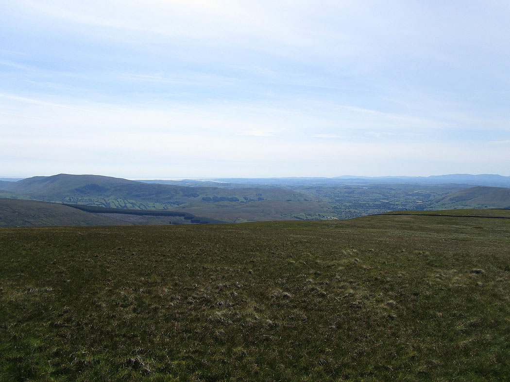
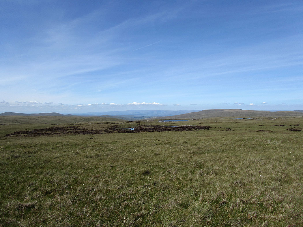
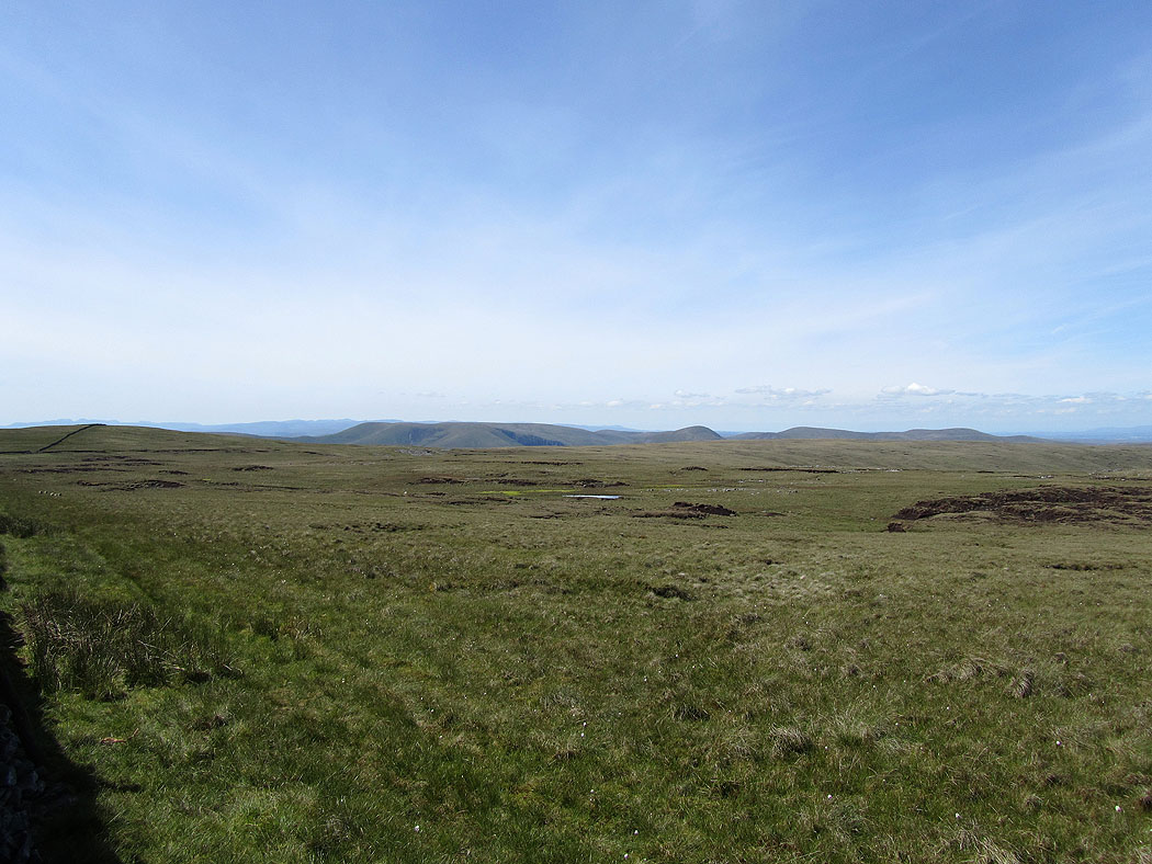
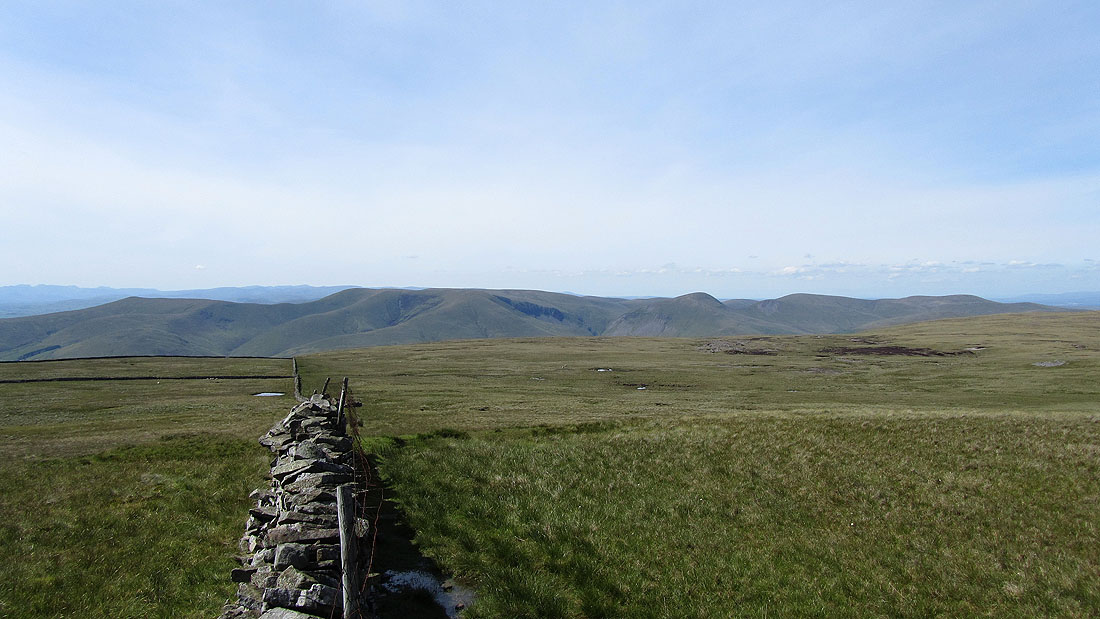
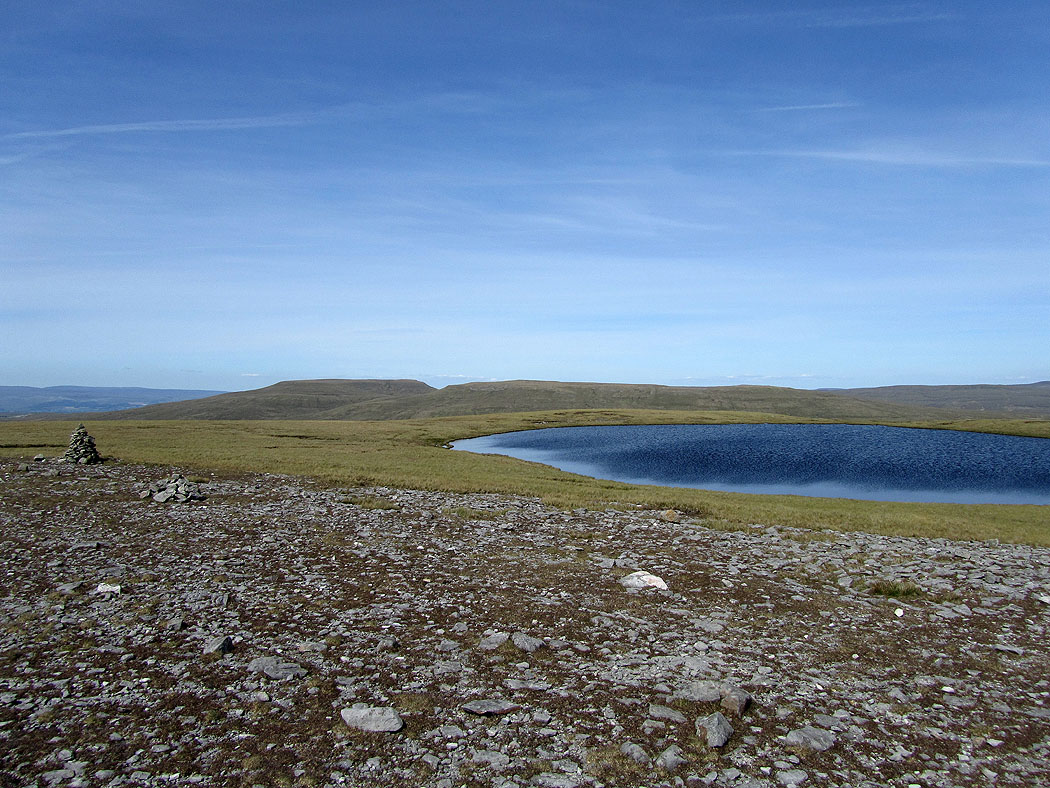
Views to the west as I make my way across West Baugh Fell to West Baugh Fell Tarn...
The Howgills
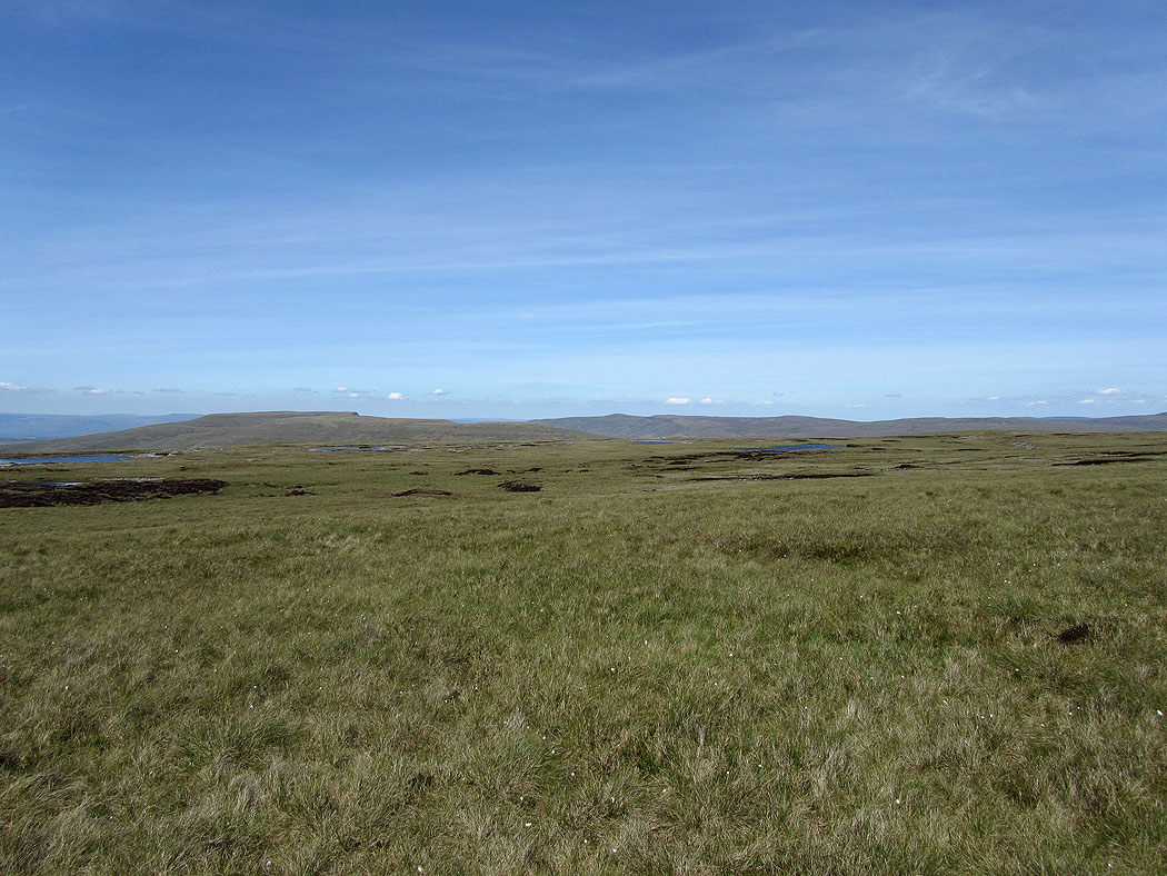
Wild Boar Fell and Swarth Fell from West Baugh Fell Tarn
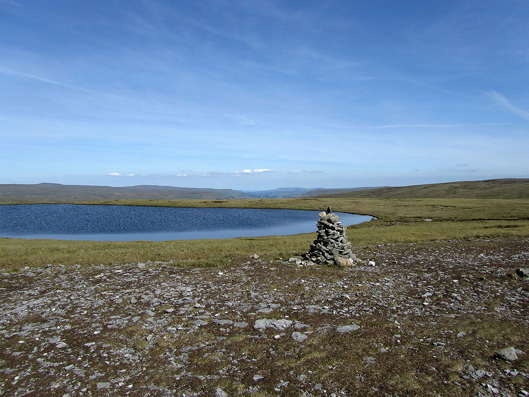
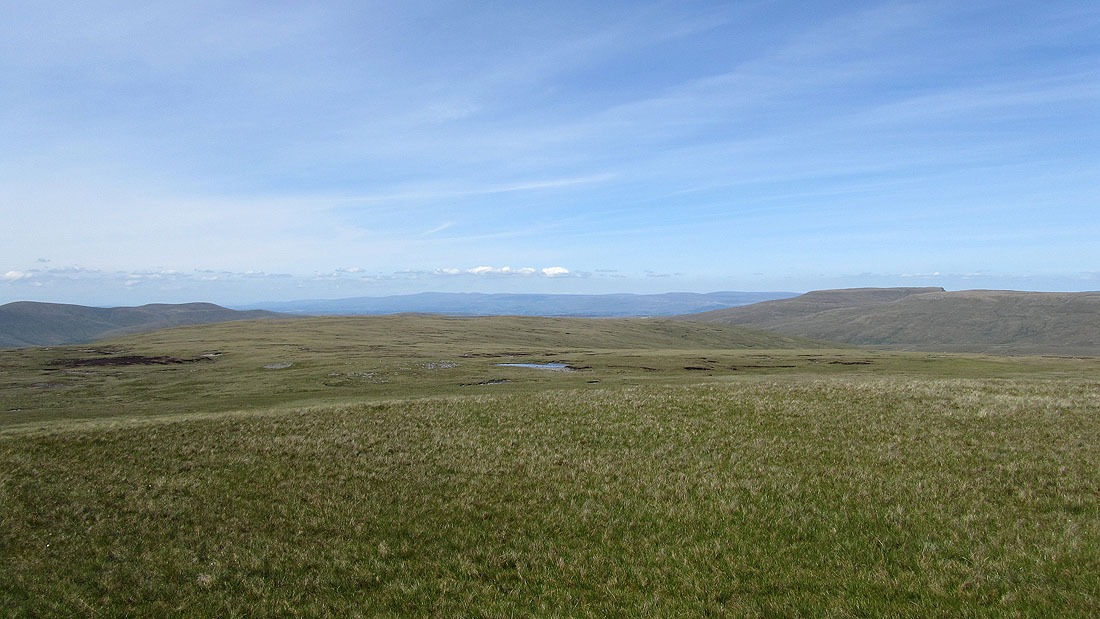
West Baugh Fell Tarn
The Howgills from the descent of West Baugh Fell
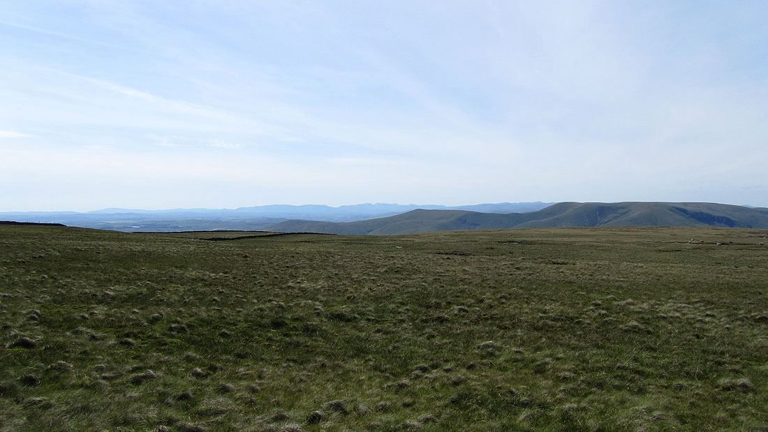
A view across to the North Pennines in the distance
Cautley Crag and Spout from Bluecaster, a small hill on the northern flank of Baugh Fell
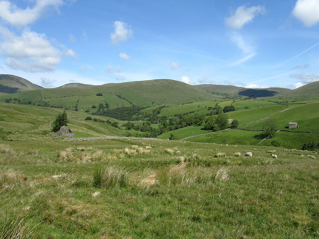
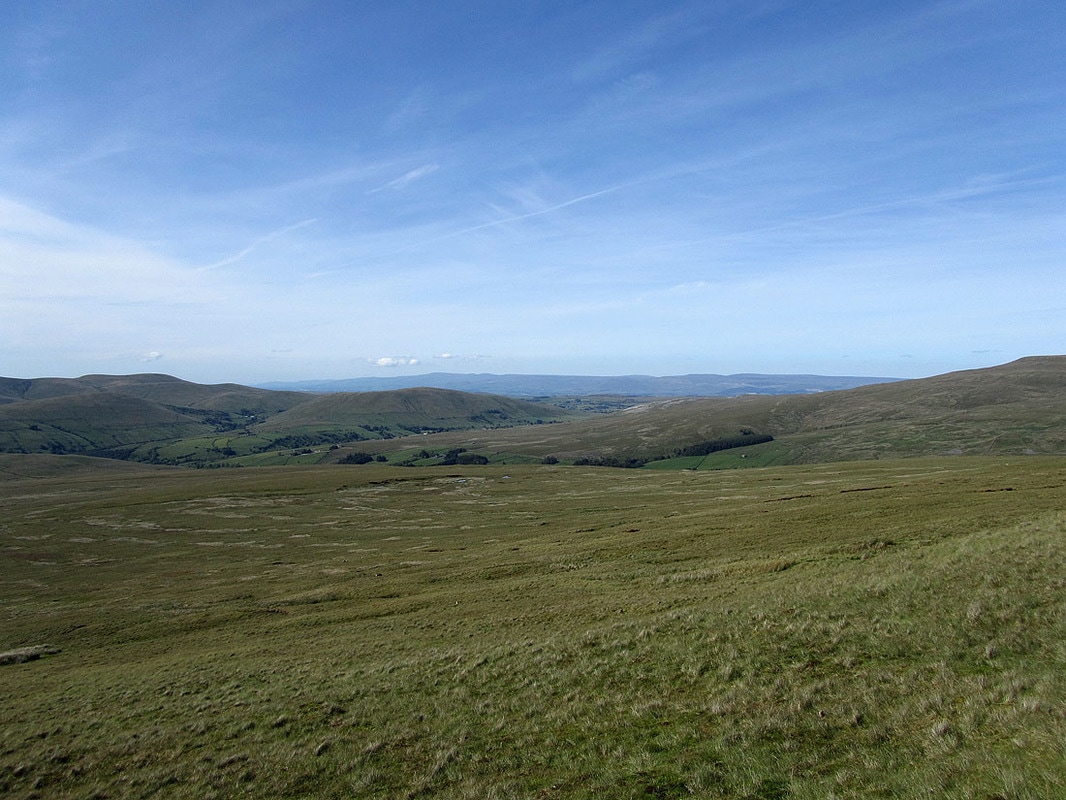
A view down the Rawthey valley
Harter Fell and the white outcrop of rock on the right is Fell End Clouds on Wild Boar Fell
Wild Boar Fell and Swarth Fell
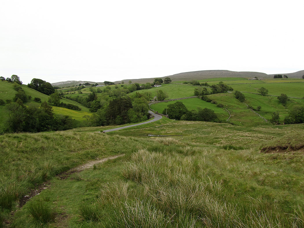
Back down to Rawthey Bridge