14th June 2021 - Weets Hill
Walk Details
Distance walked: 8.4 miles
Total ascent: 1263 ft
OS map used: OL21 - South Pennines
Time taken: 4 hrs
Route description: Foulridge-Hey-Hey Fold-Booth House Farm-High Lane-Moor Lane-Dye House Farm-High Lane-Lister Well Road-Higher View Farm-Duck Pond Farm-Weets Hill-Weets House Farm-Gisburn Old Road-Blacko Hill-Hollin Hall-Barnoldswick Road-Slipper Hill Reservoir-Reedymoor Lane-B6251-Foulridge
I'm off work today and since it's a nice enough afternoon I thought that I'd have a walk up Weets Hill from home. The route I went for was a variation of the ones used for the two walks that I did up Weets Hill in May. The difference was continuing further north along the footpaths towards Barnoldswick beneath High Lane to reach Dye House Farm before heading up to the bridleway of Lister Well Road. It's been some time since I did that. To reach Moor Lane the footpath that I'd have to follow goes through the garden of someone's house, and because of COVID-19 I obviously wouldn't want to do that. I'm still not comfortable doing that, so I detoured up to High Lane, then walked down Moor Lane to pick up the footpath again on the other side of Moor Lane from the house. I was keen on walking through the wildflower filled fields between Moor Lane and Dye House Farm, which I'd noticed when driving past them in the past couple of weeks. I knew it wouldn't be that long before they were cut for hay. They were definitely worth seeing, and the ones I walked through before them weren't too bad either. It was quite bright when I set off from home just after midday, and there was some hazy sunshine for enjoying the flower filled fields. For the rest of the afternoon it unfortunately became a bit grey and overcast.
Setting off from home I walked to the western end of Station Road and took the footpath straight up the hill and across fields to the corner of Whitemoor Road. Here I turned right and took a lane past some houses, then a footpath on the right down to Hey Fold. The next bit was a little complicated as I took the footpath right at Hey Fold, then left across the crest of a little hill and past Hullet Hall down to County Brook Lane. I briefly walked down the lane, took a footpath on the left through a patch of woodland and across a bridge over County Brook, before resuming following footpaths north across fields past Wood End Farm to Booth House Farm, where I took a footpath up a field to High Lane. I then walked a short distance north along High Lane, then down Moor Lane towards Salterforth Garden Centre until I reached a footpath on the left opposite Park Close, which I took and followed north to Dye House Farm. A bridleway then took me up to High Lane, which I crossed and I then walked up Lister Well Road until I reached a gate on the right and a footpath across access land to Higher View Farm at the top of Folly Lane. I then turned left and followed the bridleway up to Duck Pond Farm, then the footpath round the farm and onto access land, before turning right and following a path by a wall to the top of Weets Hill. After taking in the view I took the Pendle Way to reach Weets House Farm at the top of Gisburn Old Road. I then walked down Gisburn Old Road until I reached Star Hall Farm where I took the Pendle Way on the right across fields. I left the Pendle Way above Admergill Pasture Cottage for a footpath by a wall, before crossing the wall and taking a footpath down through fields to Hollin Hall on Barnoldswick Road. I crossed the road and took the footpath opposite down through fields to where it meets the lane by Slipper Hill Reservoir. I then took the footpath round Slipper Hill Reservoir to reach a track past Sand Hall to reach Reedymoor Lane. After a walk north along Reedymoor Lane and east along the B6251 I was back home in Foulridge.
Route map
© Crown copyright. All rights reserved. License number PU 100034184.
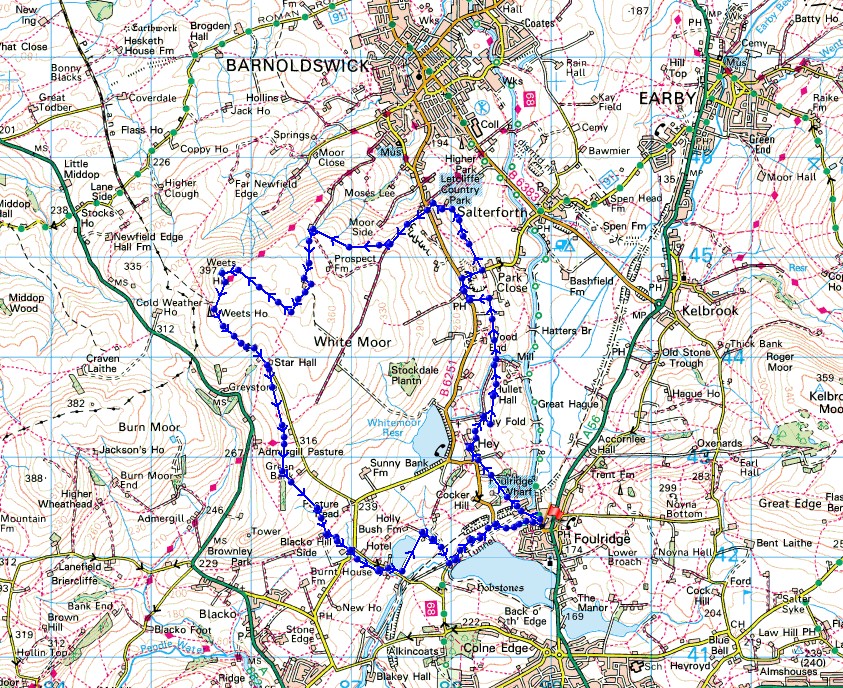
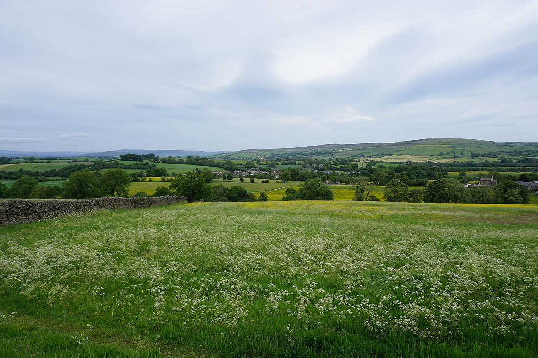
There are plenty of wildflowers in the fields around Foulridge at the moment..
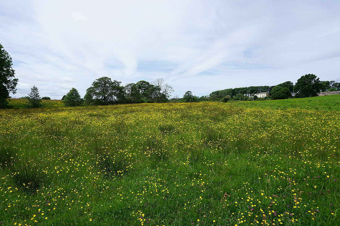
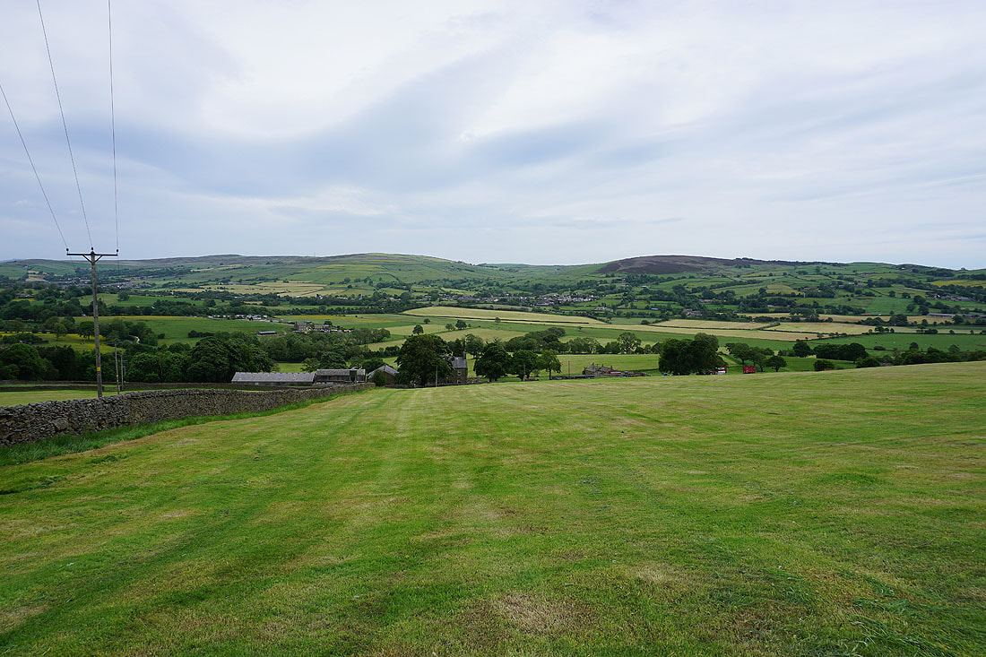
Looking back to Foulridge with Boulsworth Hill in the distance
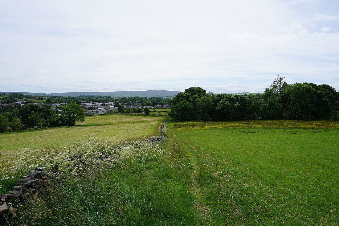
Taking the path north to County Brook
Bleara Moor and Kelbrook Moor
I can make out Great Whernside in the distance
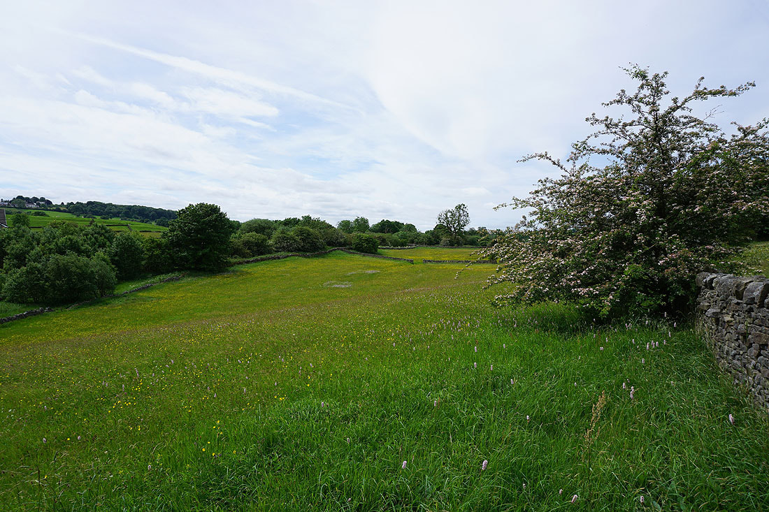
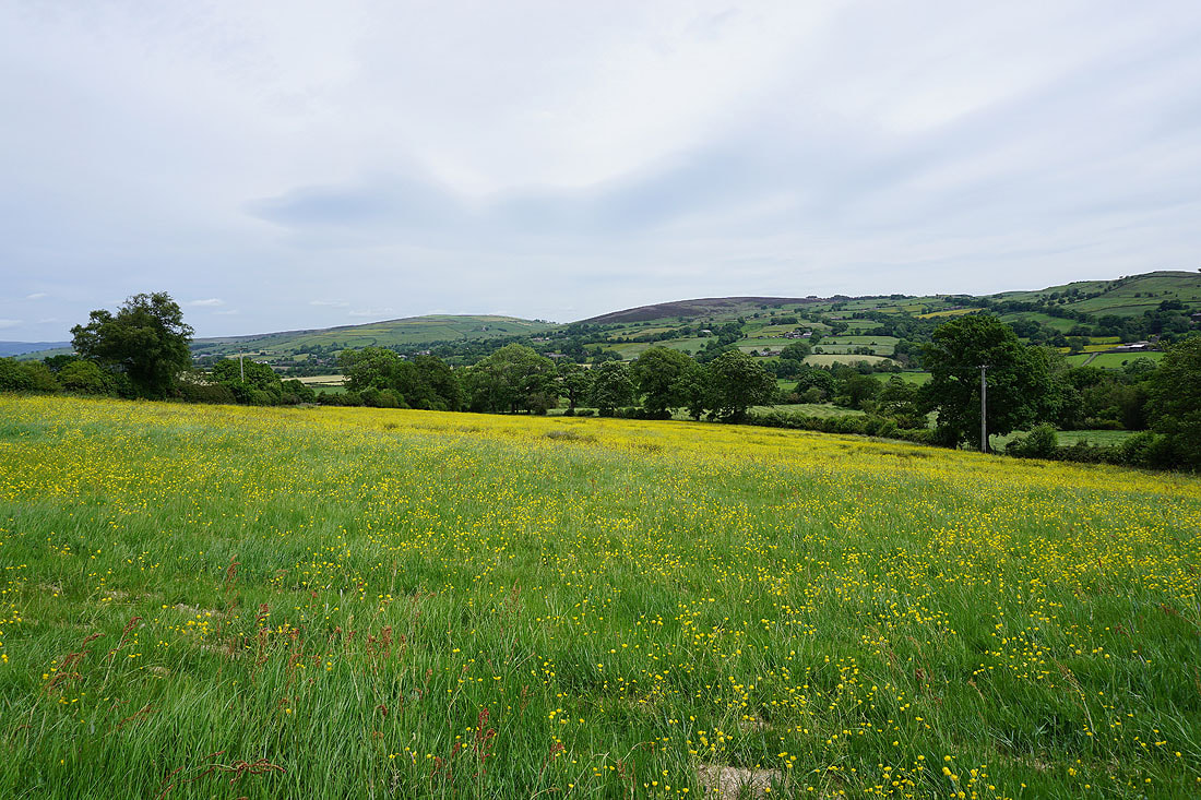
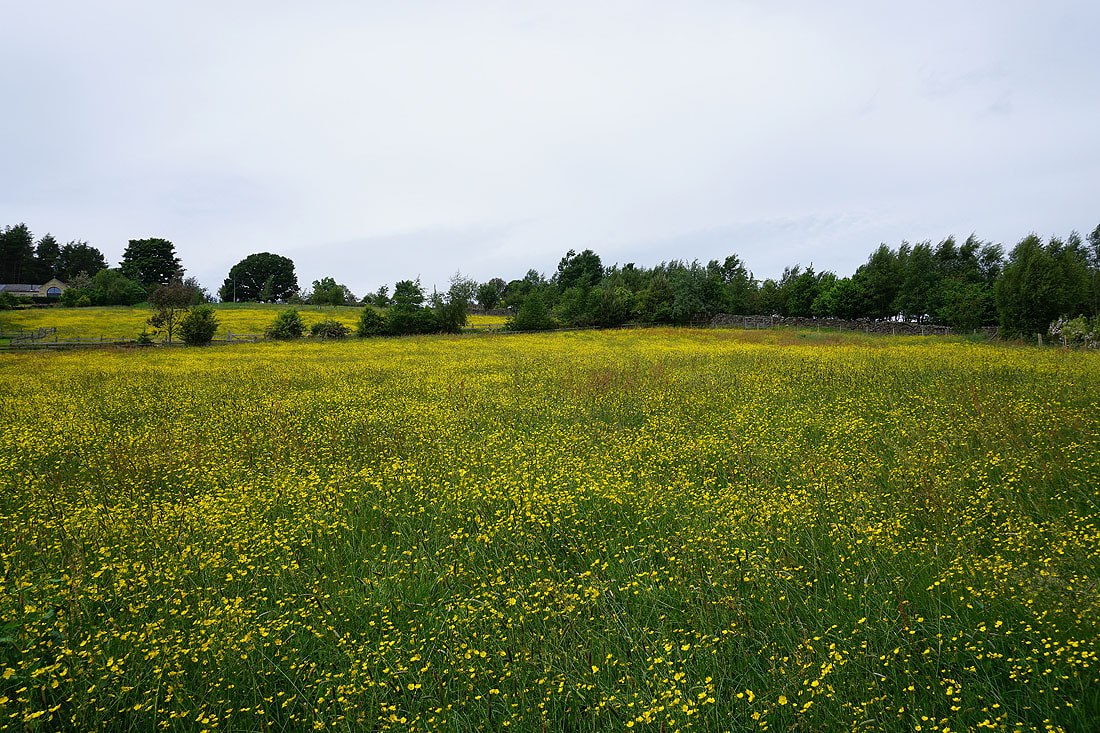
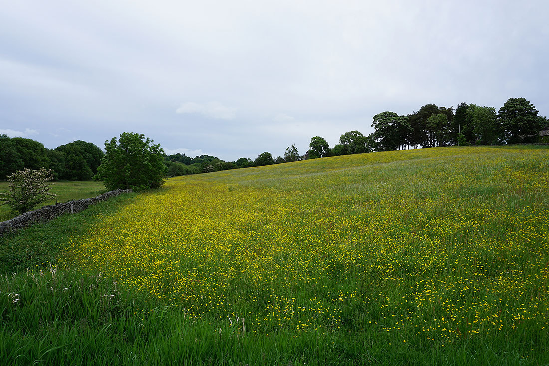
Now this is a field full of buttercups, and there are more to come
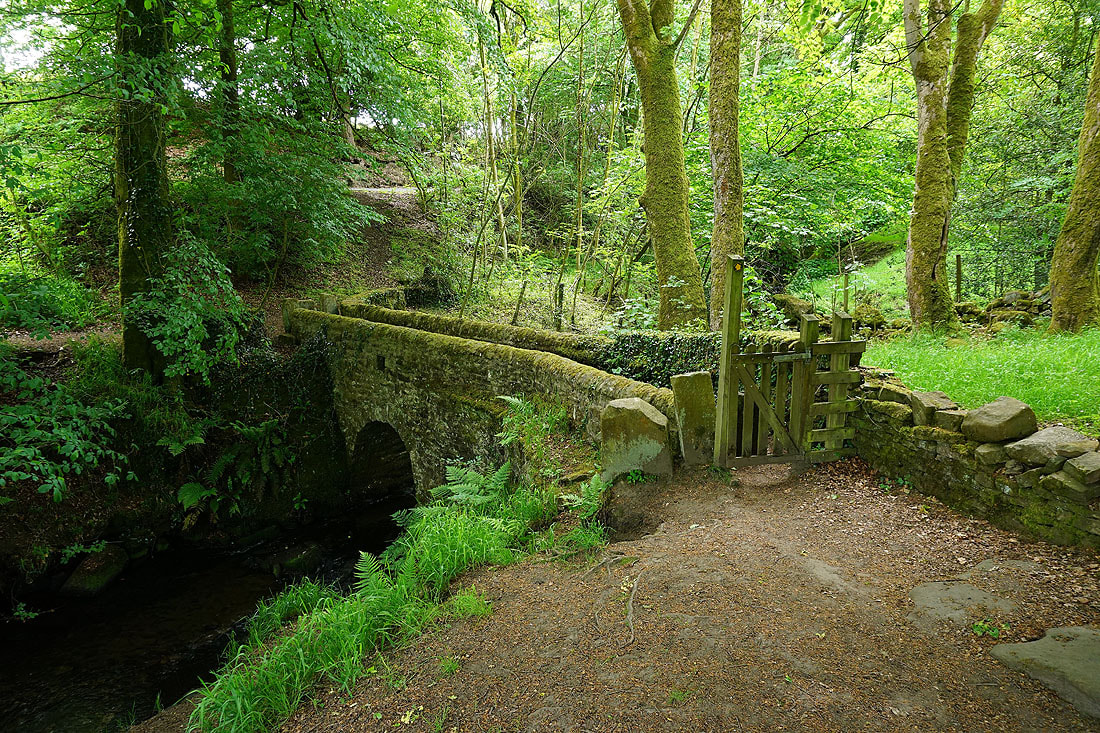
The footbridge over County Brook
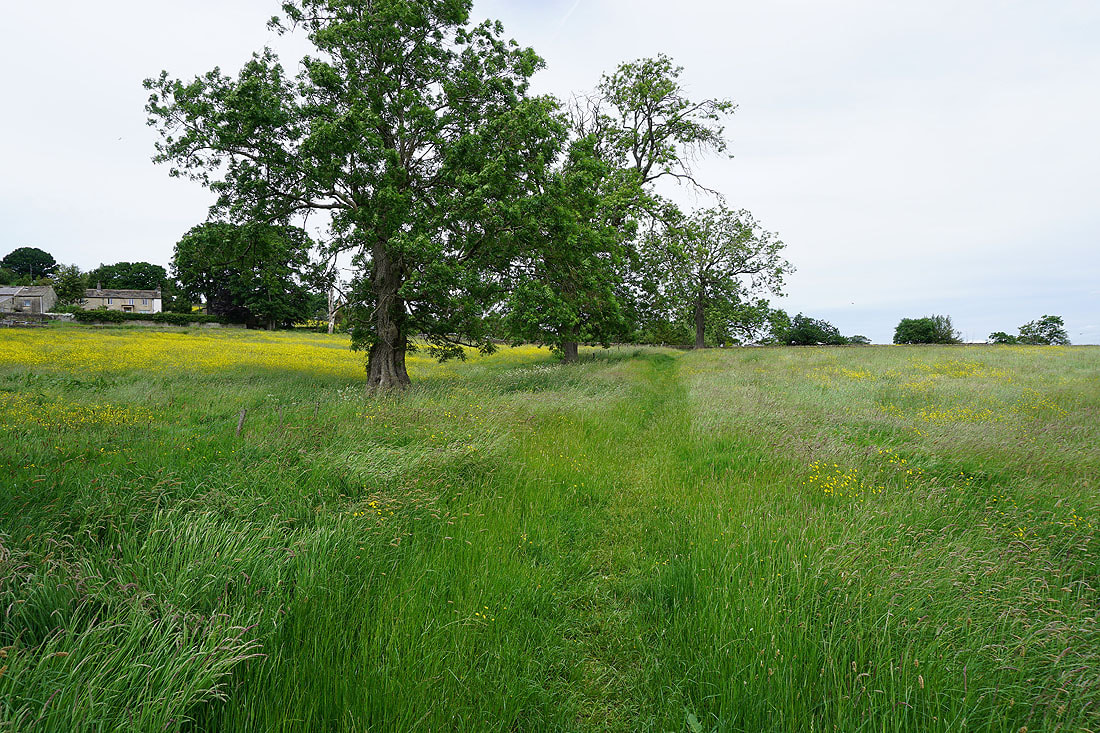
As I follow the footpath past Wood End Farm I walk through fields that are ablaze with the yellow of buttercups...
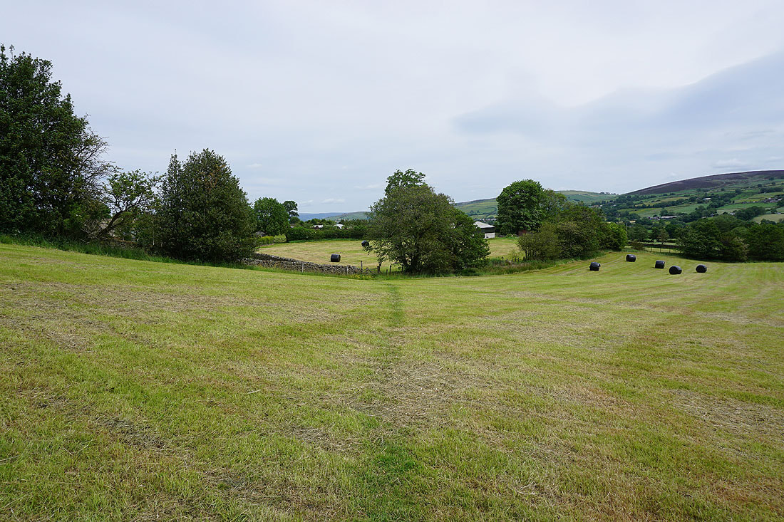
Looking back to Bleara Moor and Kelbrook Moor as I take the path from Booth House Farm up to High Lane
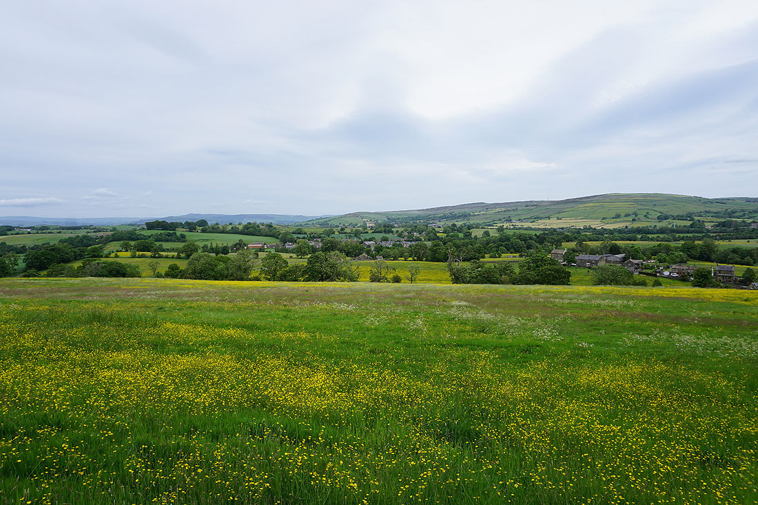
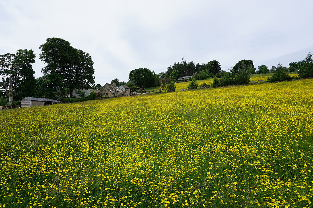
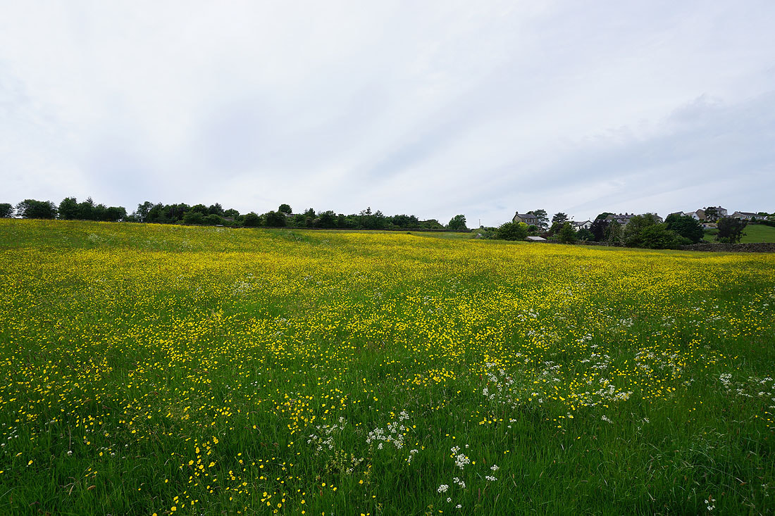
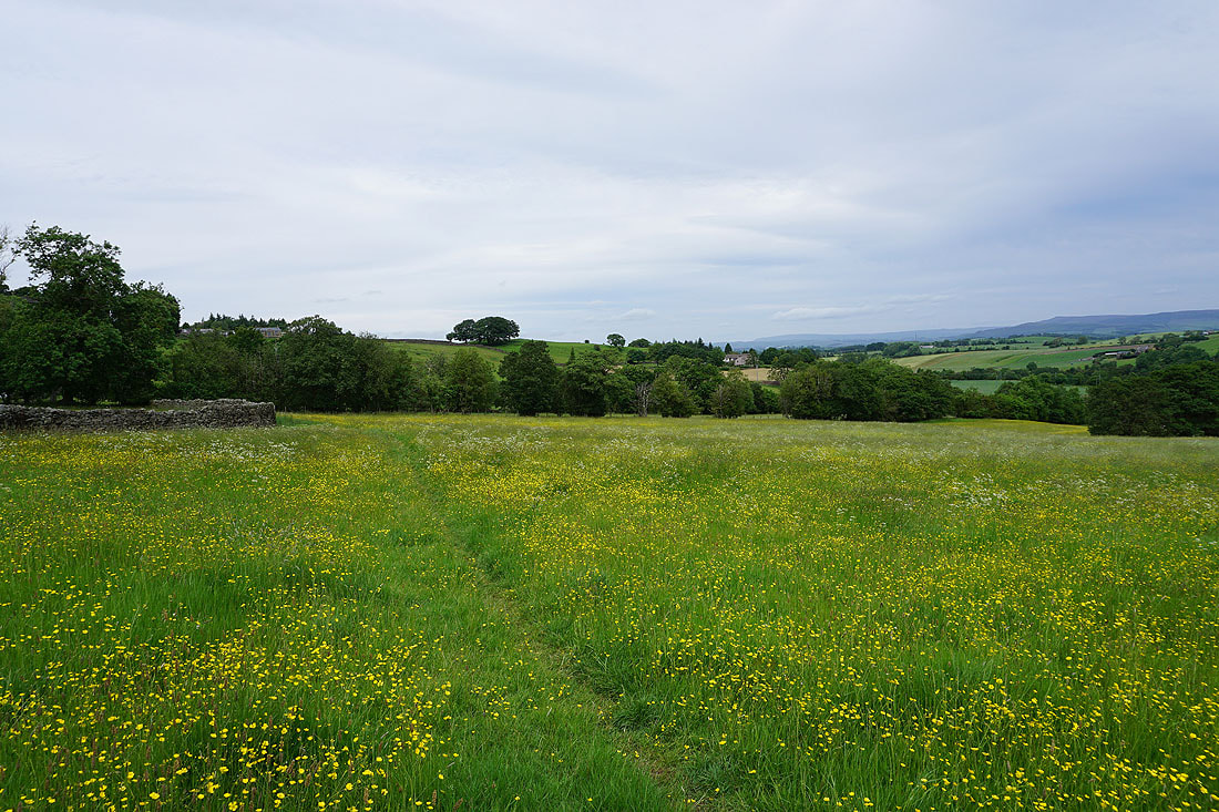
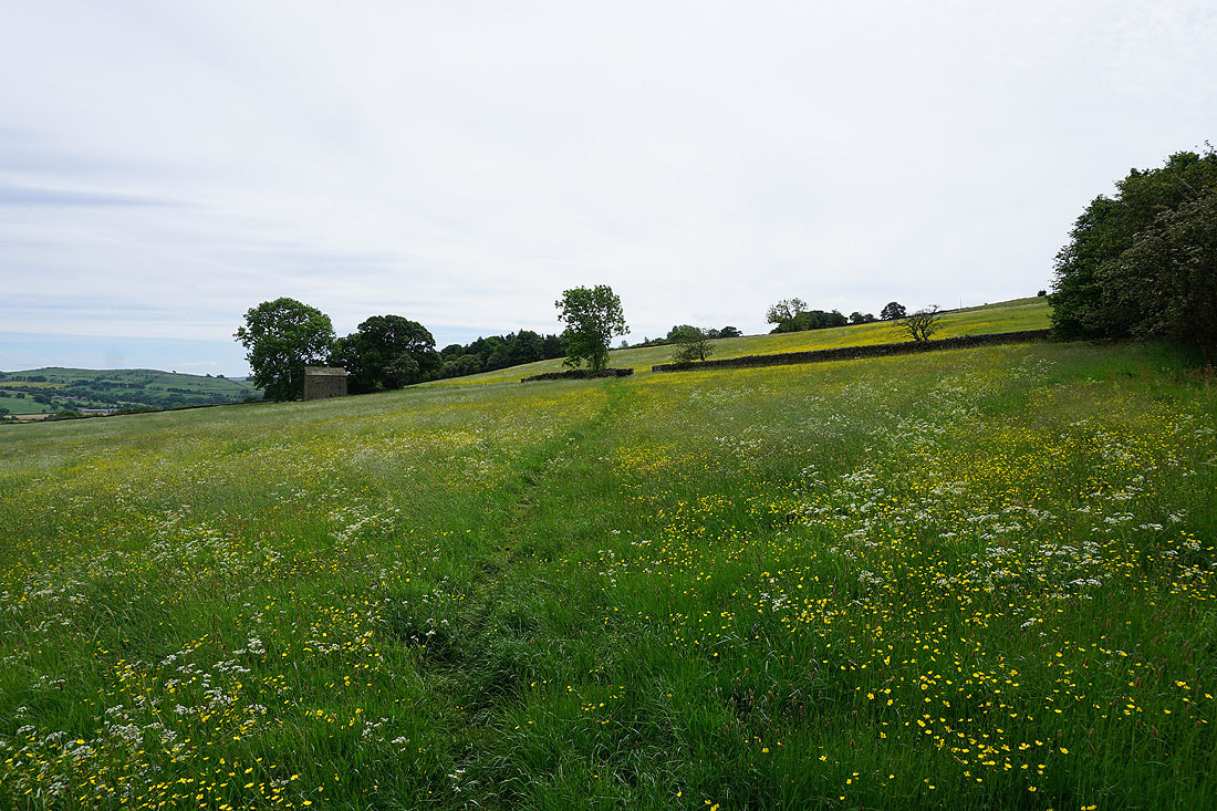
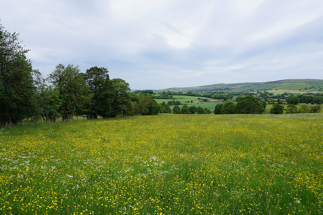
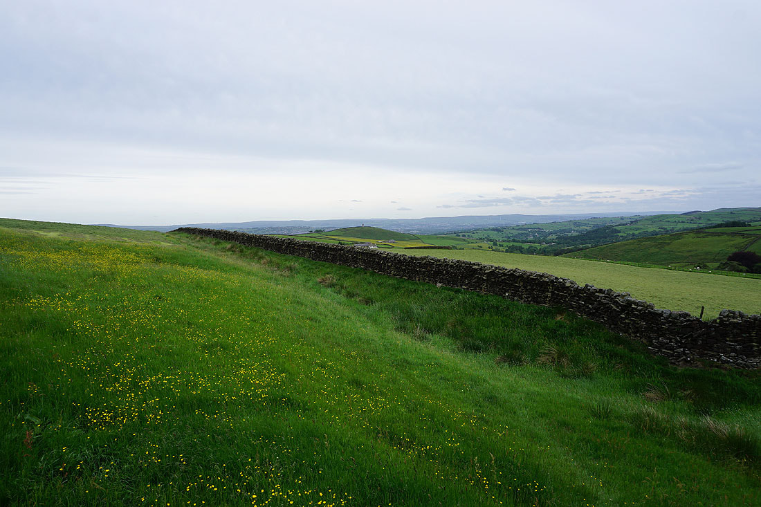
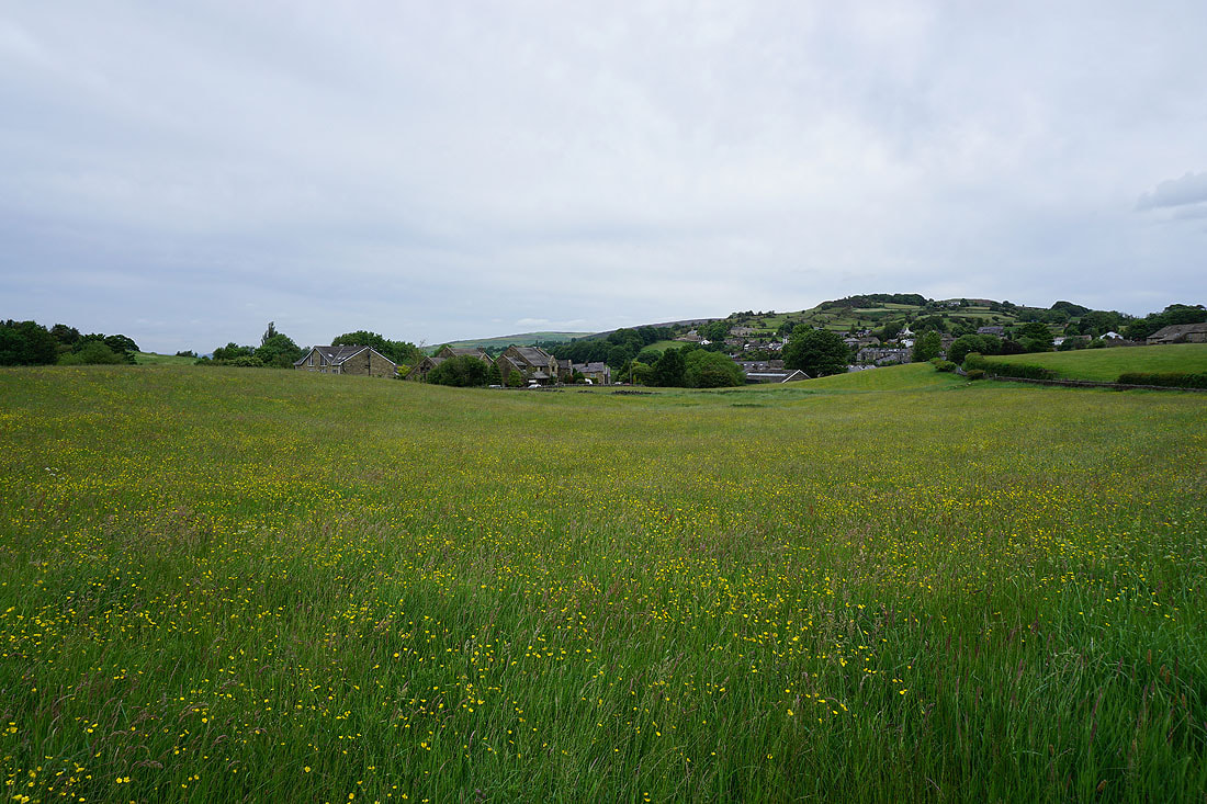
After having to walk along High Lane and down Moor Lane I'm back on footpaths again. The path from Moor Lane to Dye House Farm takes me through lots of wildflower filled fields with views across to Barden Moor, Thornton Moor and Bleara Moor.........
Ingleborough and Rye Loaf Hill in the distance with Barnoldswick below from Lister Well Road
Looking back as I walk up Lister Well Road to Great Whernside and Barden Moor in the distance
Ingleborough in the distance as I follow the path across the moor from Lister Well Road to Higher View Farm
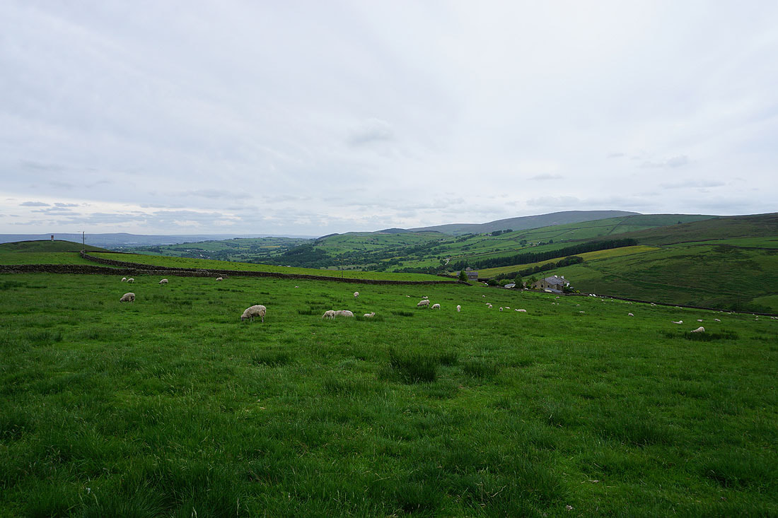
On the bridleway from Higher View Farm up to Duck Pond Farm
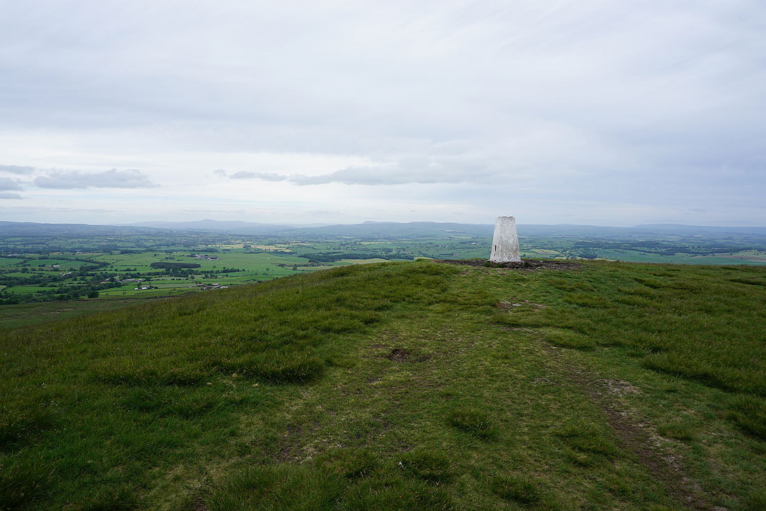
Looking back down the bridleway to Ingleborough, Penyghent, Rye Loaf Hill and Great Whernside in the distance
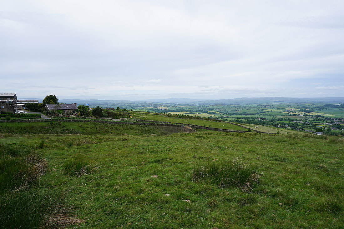
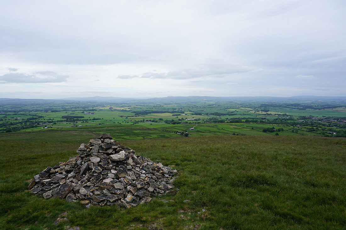
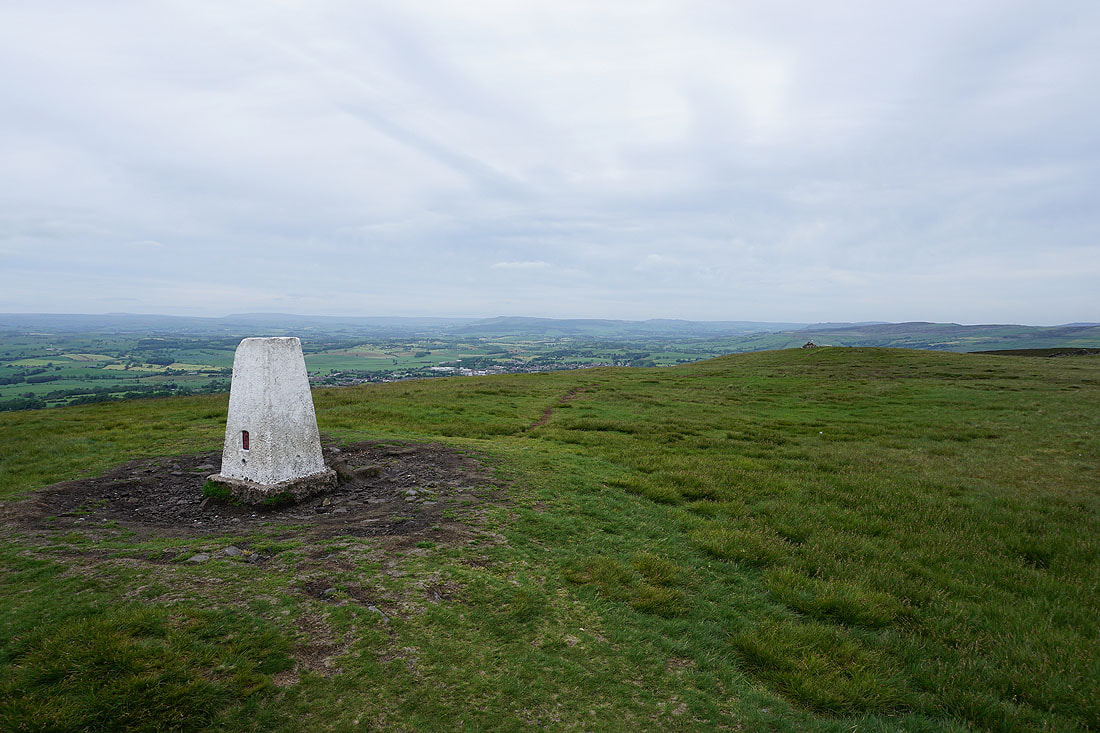
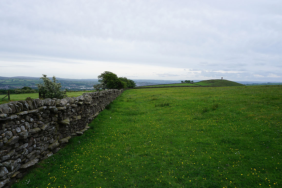
Pendle Hill in the distance as I reach access land on Weets Hill
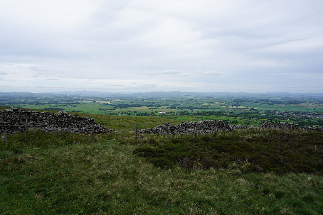
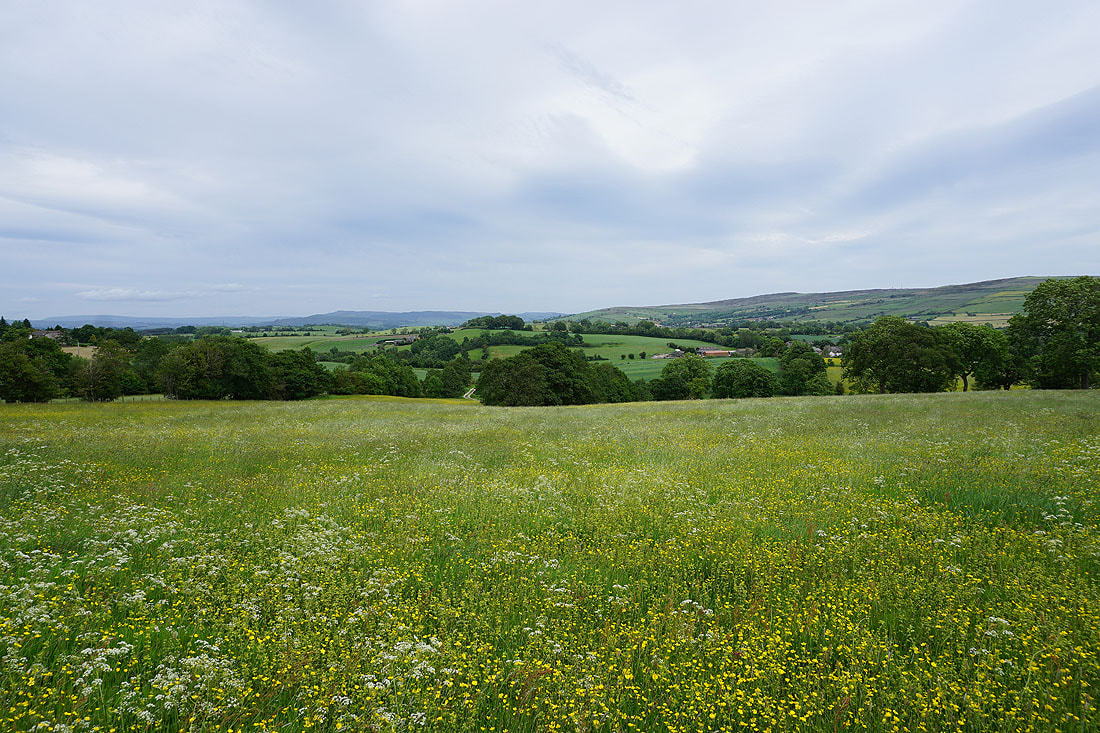
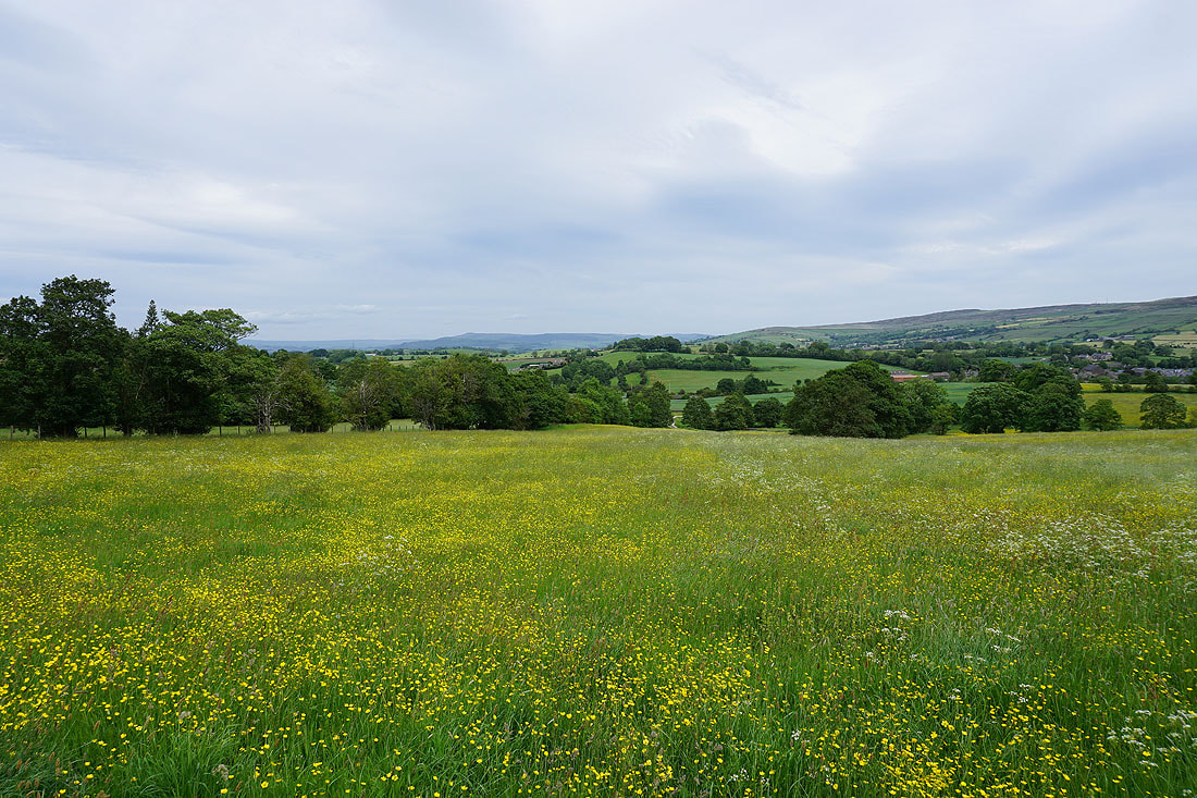
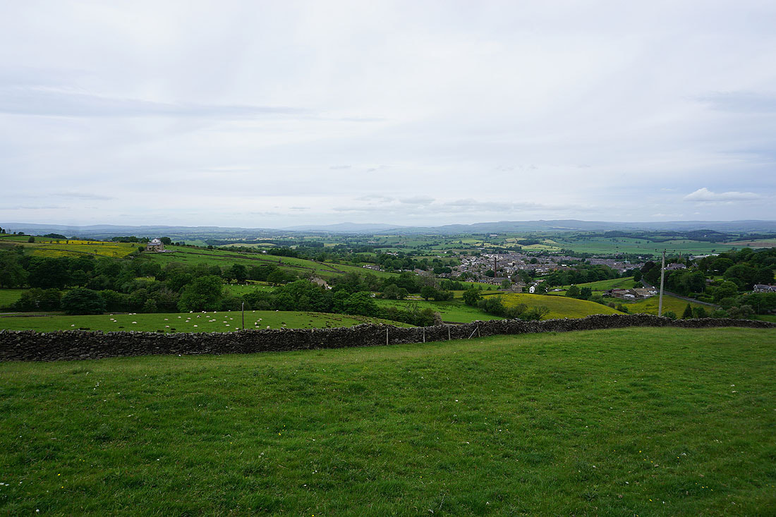
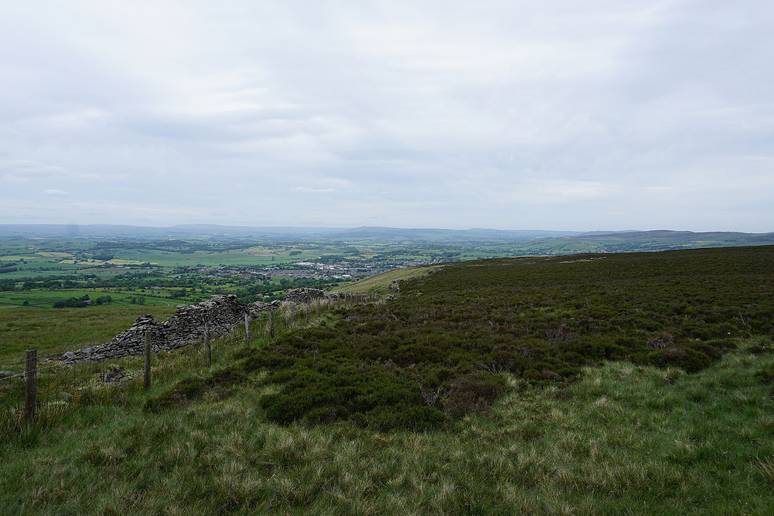
Views across to the Yorkshire Dales from the eastern end of Weets Hill...
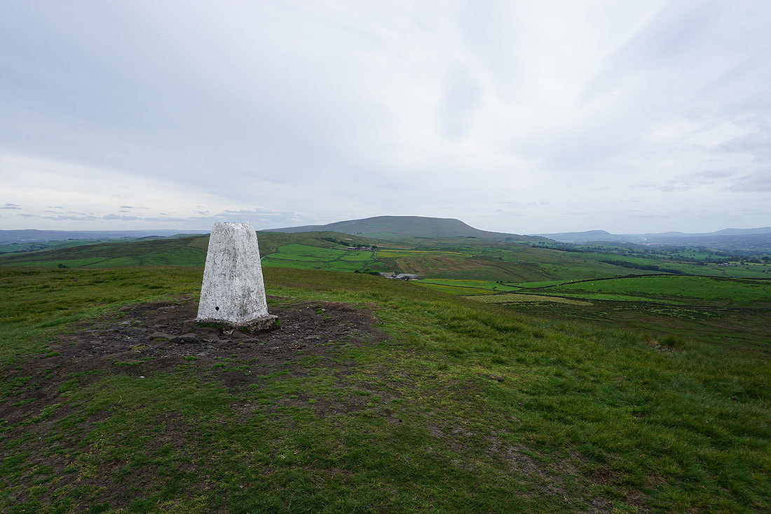
Pendle Hill from the trig point on Weets Hill
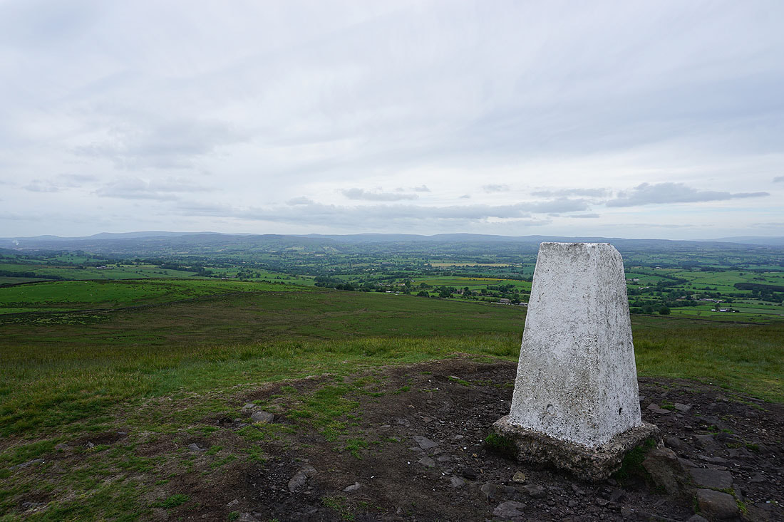
Looking across the Ribble Valley to the Forest of Bowland
Then northeast to Great Whernside and Barden Moor
and north to Ingleborough and Penyghent
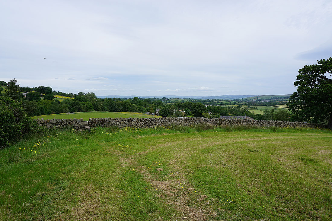
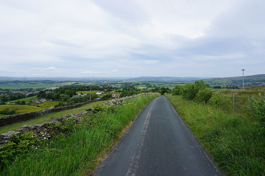
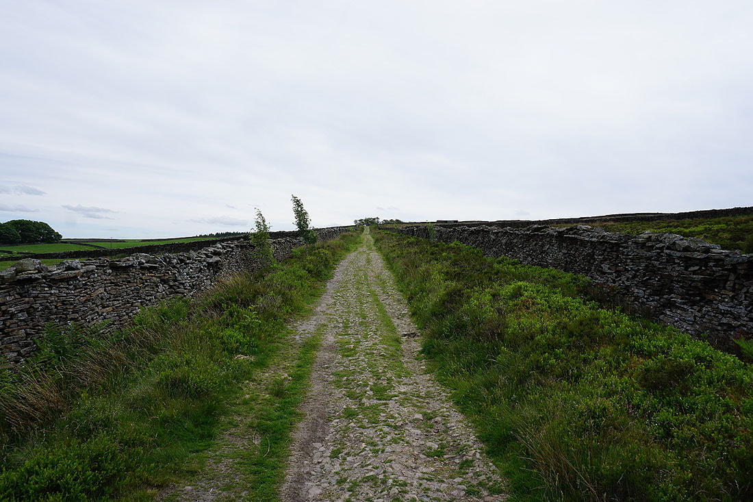
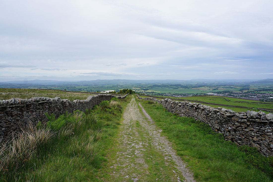
Heading down Gisburn Old Road with Boulsworth Hill in the distance
I leave Gisburn Old Road for the Pendle Way to Blacko Hill
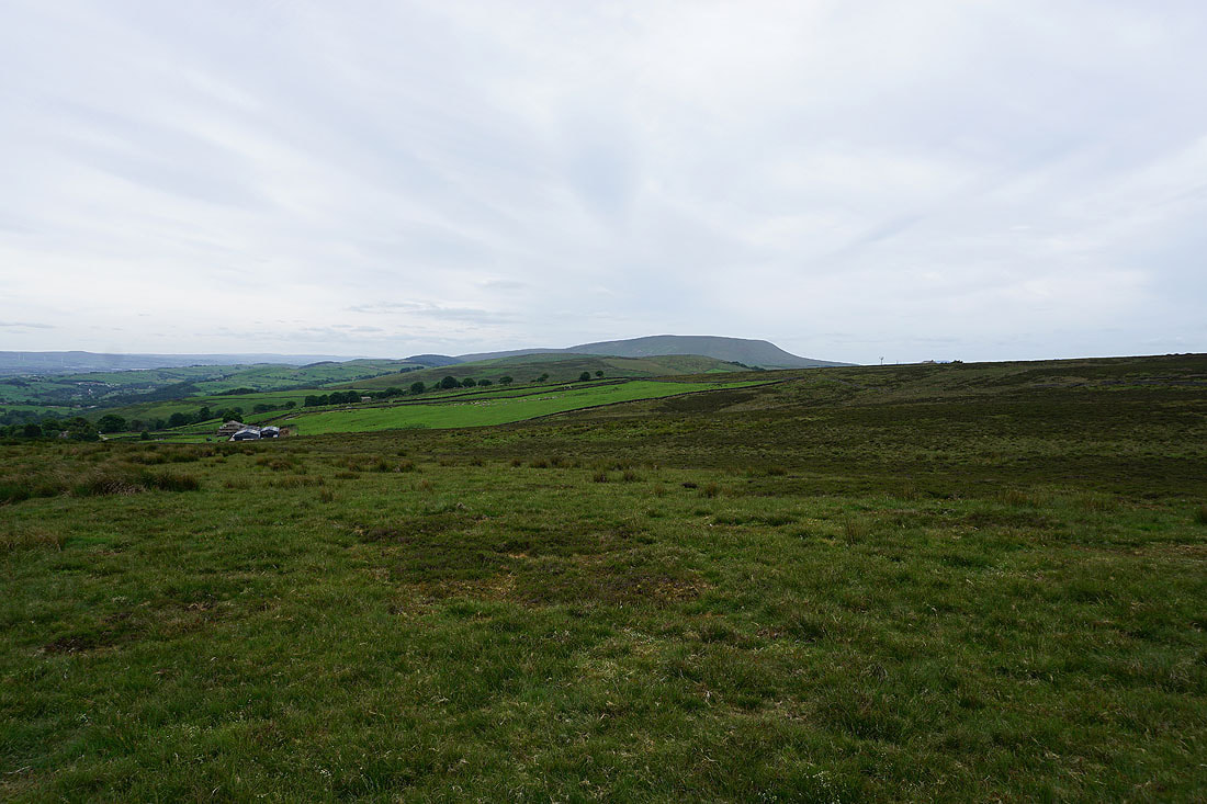
Blacko Hill, the Forest of Pendle and Pendle Hill
Heading across Blacko Hill
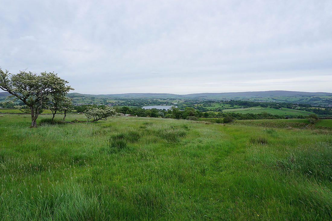
Ickornshaw Moor and Boulsworth Hill in the distance beyond Foulridge Lower Reservoir as I follow the path from Blacko Hill down to Barnoldswick Road
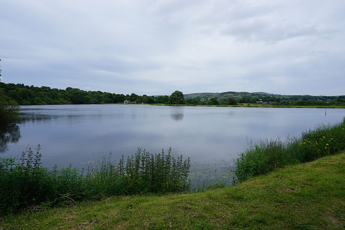
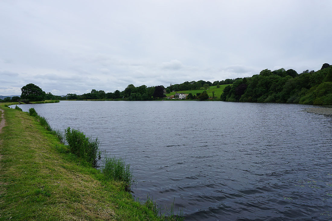
By Slipper Hill Reservoir..
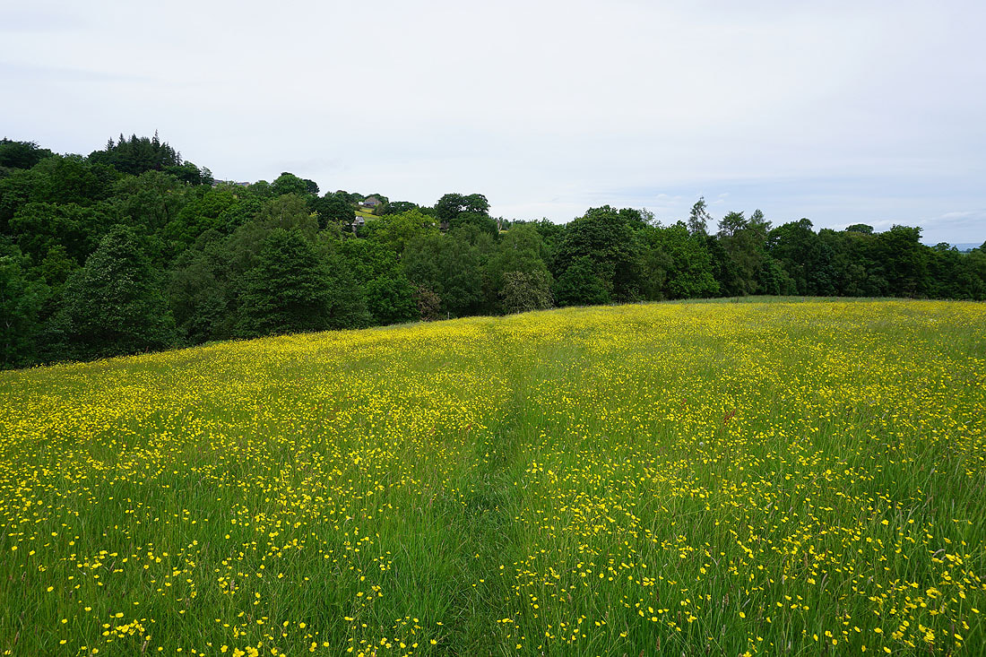
More buttercup filled fields by Reedymoor Lane..
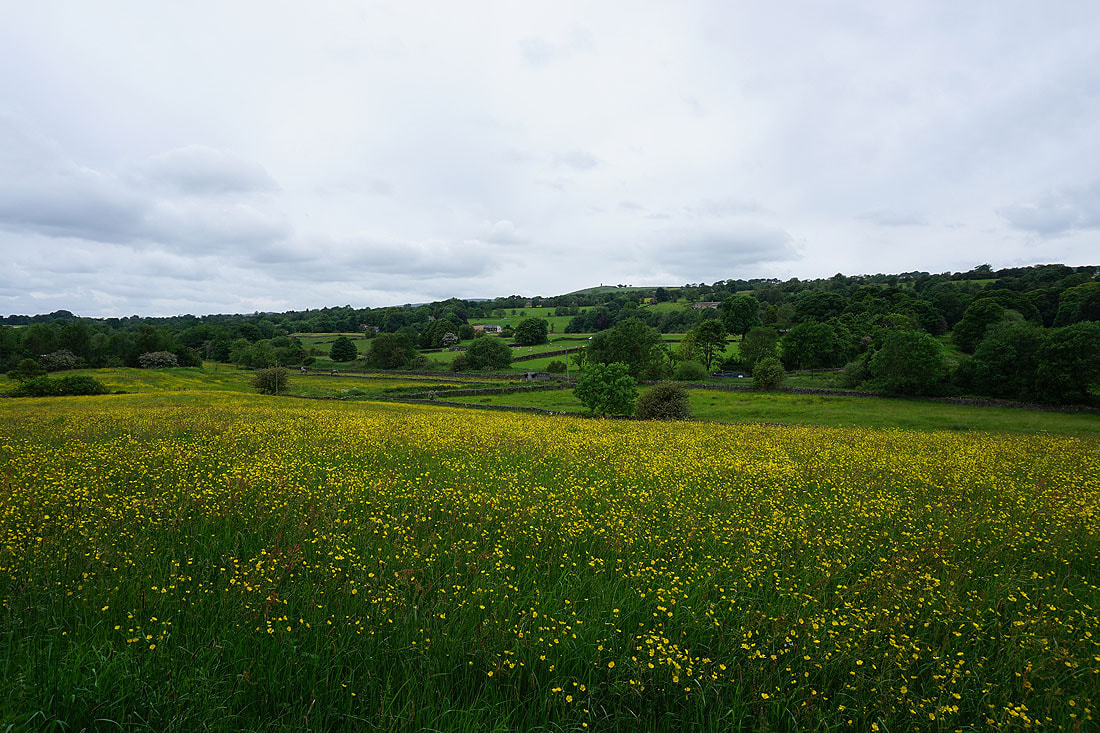
and there are more to see as I make it back home to Foulridge