14th March 2020 - Weets Hill
Walk Details
Distance walked: 9.4 miles
Total ascent: 1647 ft
OS map used: OL21 - South Pennines
Time taken: 4 hrs
Route description: Foulridge-Hey-Hey Fold-County Brook-Booth House Farm-High Lane-Copy Nook-Lister Well Road-Folly Lane-Pendle Way-Weets Hill-Weets House Farm-Gisburn Old Road-Lister Well Road-Copy Nook-High Lane-Booth House Farm-County Brook-County Brook Mill-Mill Hill Bridge-Leeds and Liverpool Canal-Foulridge
There's some pretty indifferent weather forecast for this weekend, but that doesn't bother me too much as I've booked Monday off work, and that's going to be a nice day. However, since there's going to be some reasonable weather for a while today I've decided to have a walk from home to Weets Hill and back. It didn't stay dry though, I was caught by a shower on my way up Weets Hill from Folly Lane, and the persistent rain arrived for my return to Foulridge along the towpath of the Leeds and Liverpool Canal.
Setting off from home I walked to the western end of Station Road and took the footpath straight up the hill and across fields to the corner of Whitemoor Road at Hey. Here I turned right and took a lane past some houses, then a footpath on the right down to Hey Fold. The next bit was a little complicated as I took the footpath right at Hey Fold, then left across the crest of a little hill and past Hullet Hall down to County Brook Lane. I briefly walked down the lane, took a footpath on the left through a patch of woodland and across a bridge over County Brook, before resuming following footpaths north across fields to Booth House Farm. Here I took a footpath up a field to High Lane above, briefly walked north along High Lane, and took the footpath on the left up a track to and past Copy Nook. From the end of the track I followed the footpath up to the track of Lister Well Road. I then walked down Lister Well Road until I reached a gate on the left and a footpath across access land to Higher View at the top of Folly Lane. I then walked down Folly Lane until I reached a stile and the trail of the Pendle Way. The stile was crossed and the Pendle Way followed up to the summit of Weets Hill (I took a break in the shelter of a wall while a shower passed through). After taking in the view I made my way down to Weets House Farm at the top of Gisburn Old Road, then walked down Gisburn Old Road until I reached the turn-off for the Pennine Bridleway and Lister Well Road. I followed Lister Well Road across White Moor until I reached a footpath on the right which I took down to Copy Nook and High Lane. I briefly walked south along High Lane to take the footpath on the other side of the road down to Booth House Farm, then followed a path south across fields, down to the bridge over County Brook and to County Brook Lane. I then turned left and walked down the road to County Brook Mill where a footpath heads down to Mill Hill Bridge over the Leeds and Liverpool Canal. I was then left with a walk south along the towpath to Foulridge Wharf and then home.
Route map
© Crown copyright. All rights reserved. License number PU 100034184.
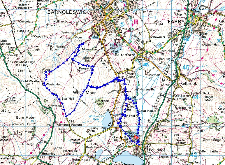
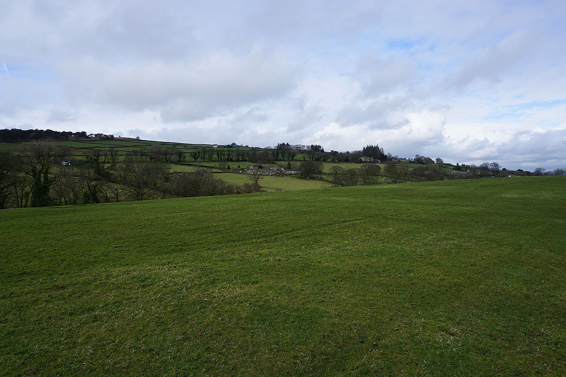
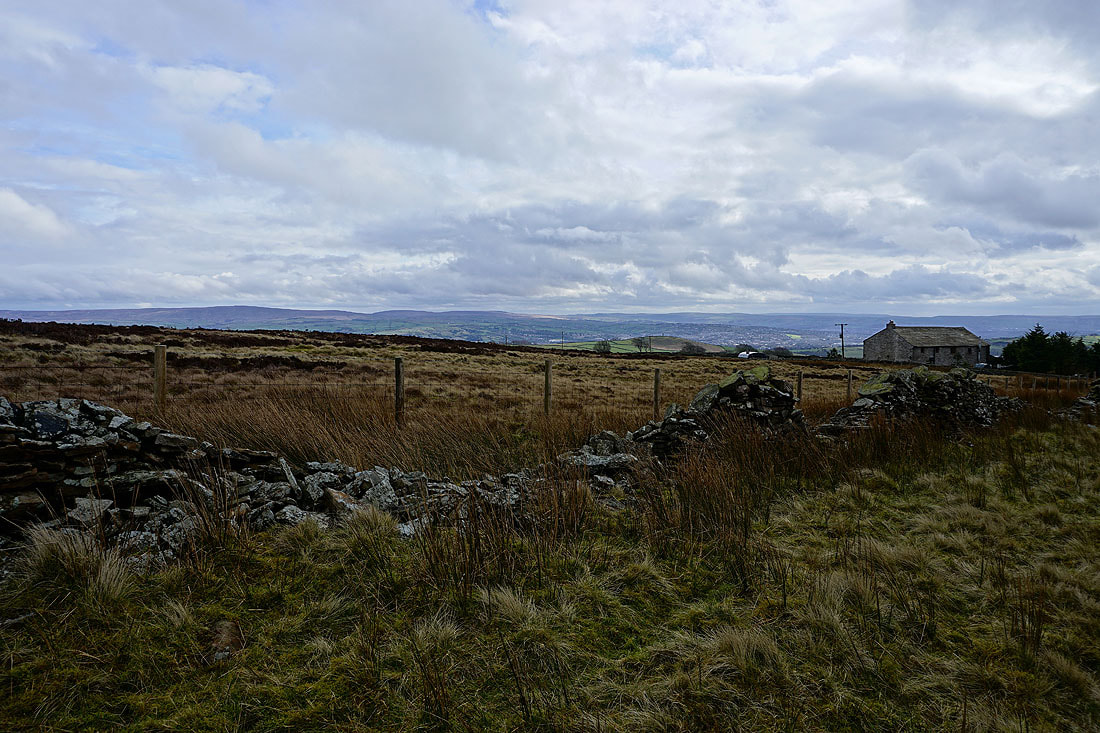
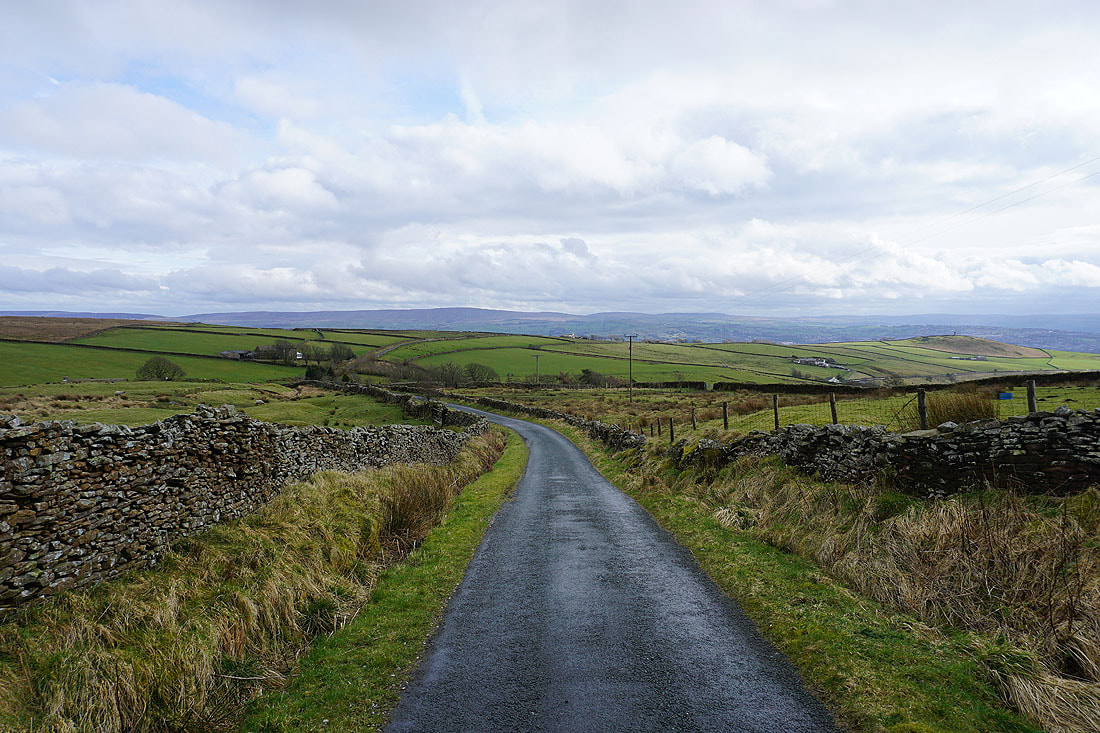
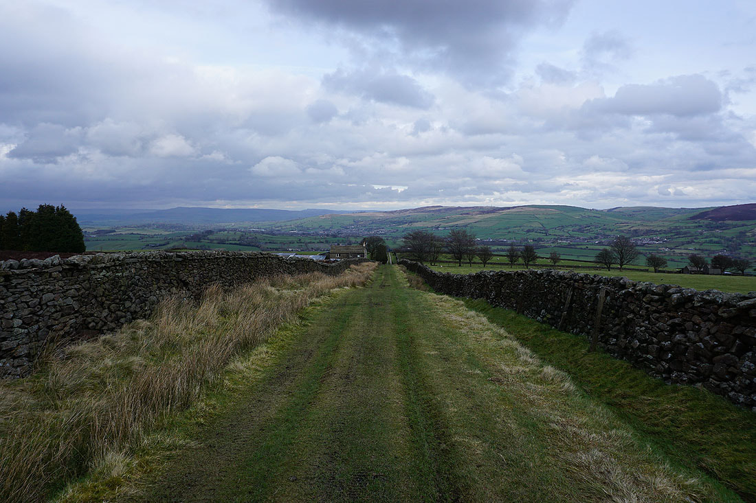
Leaving Foulridge behind for the path up to Hey
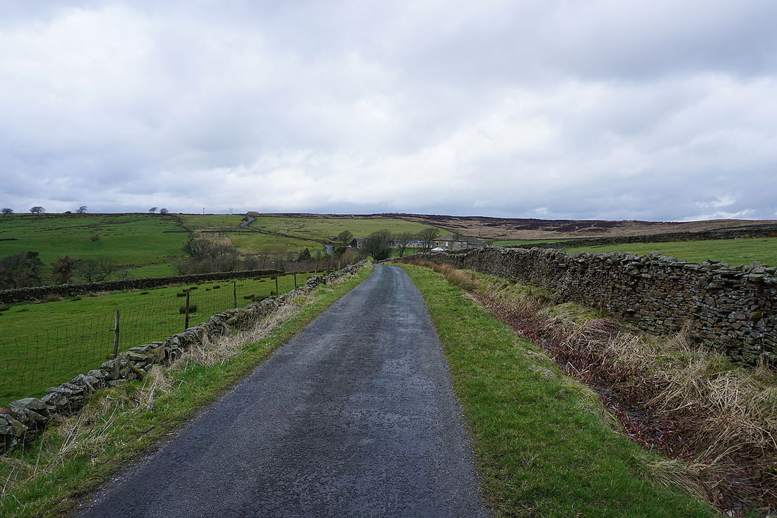
Heading through the hamlet of Hey
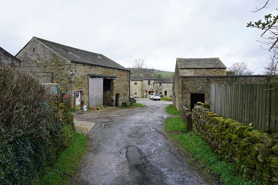
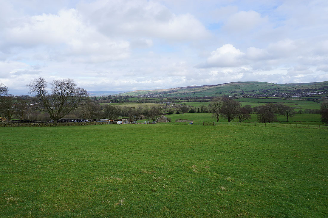
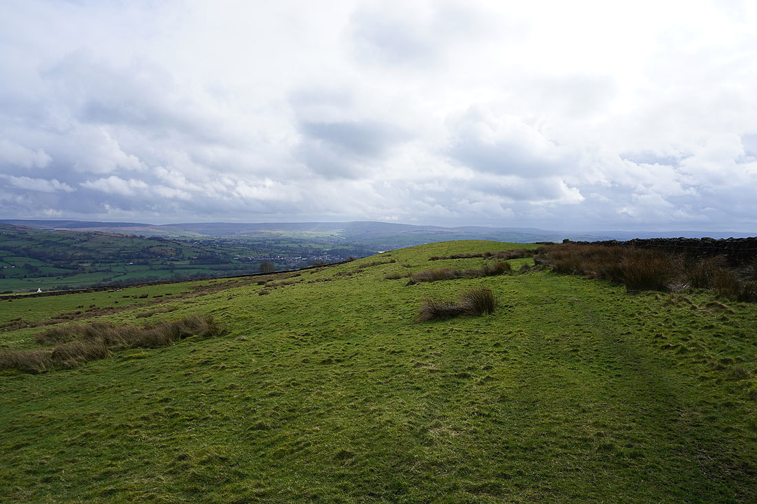
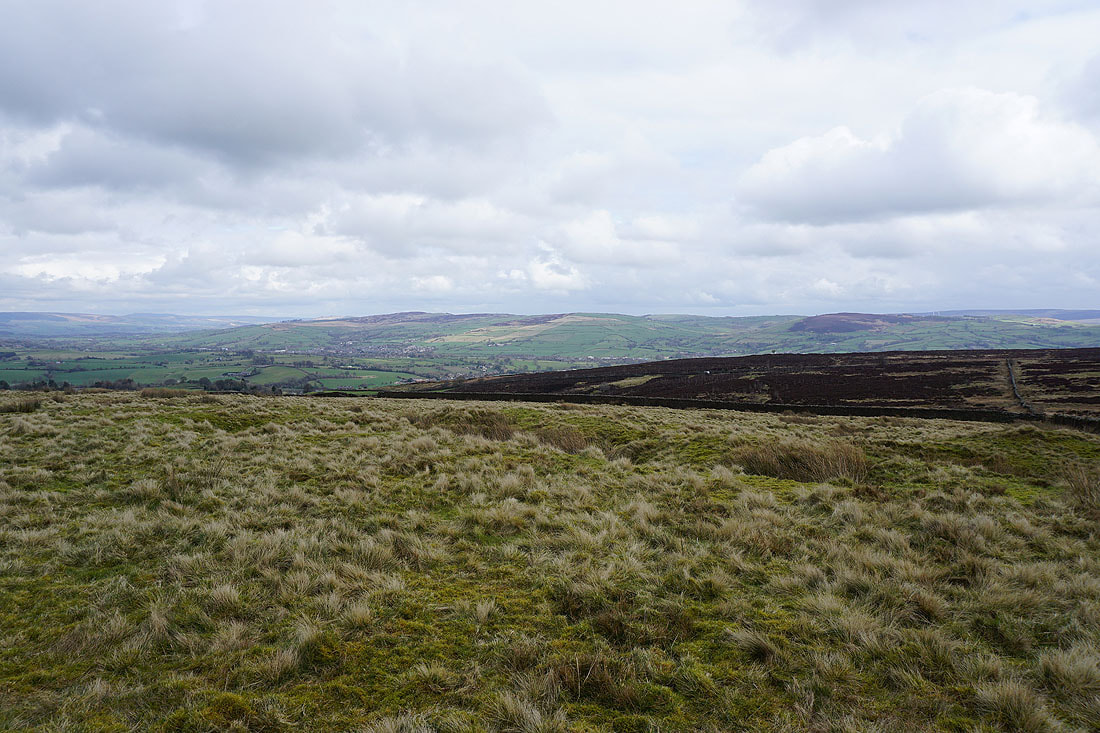
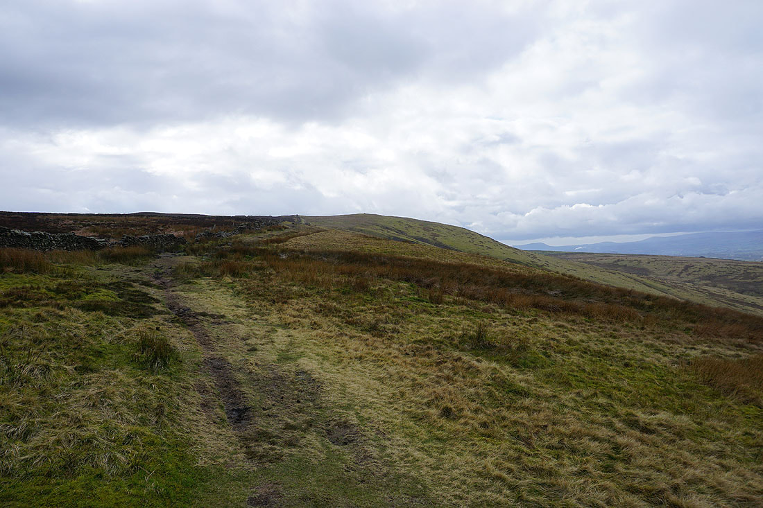
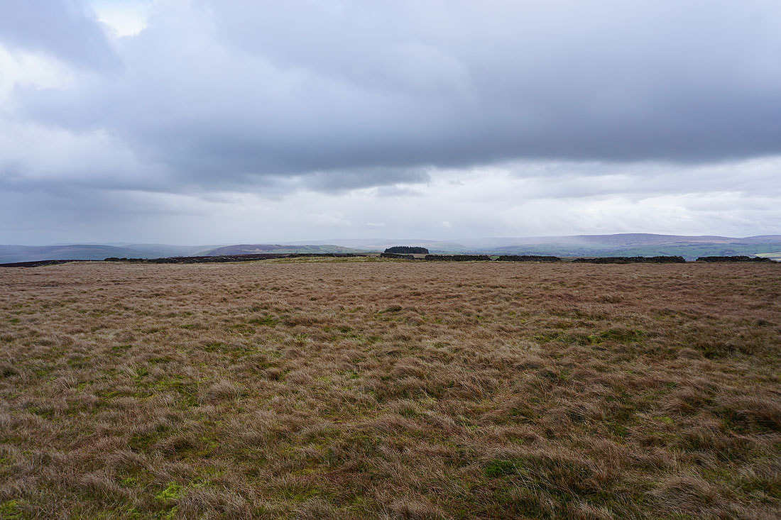
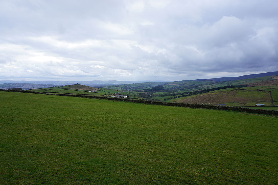
Bleara Moor and Kelbrook Moor
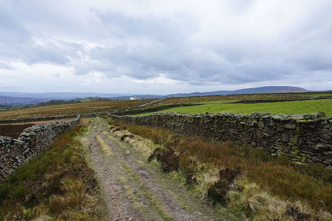
White Moor
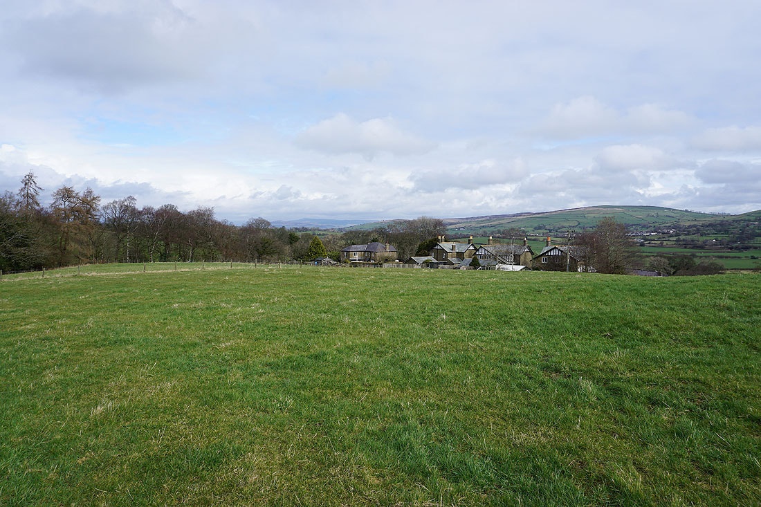
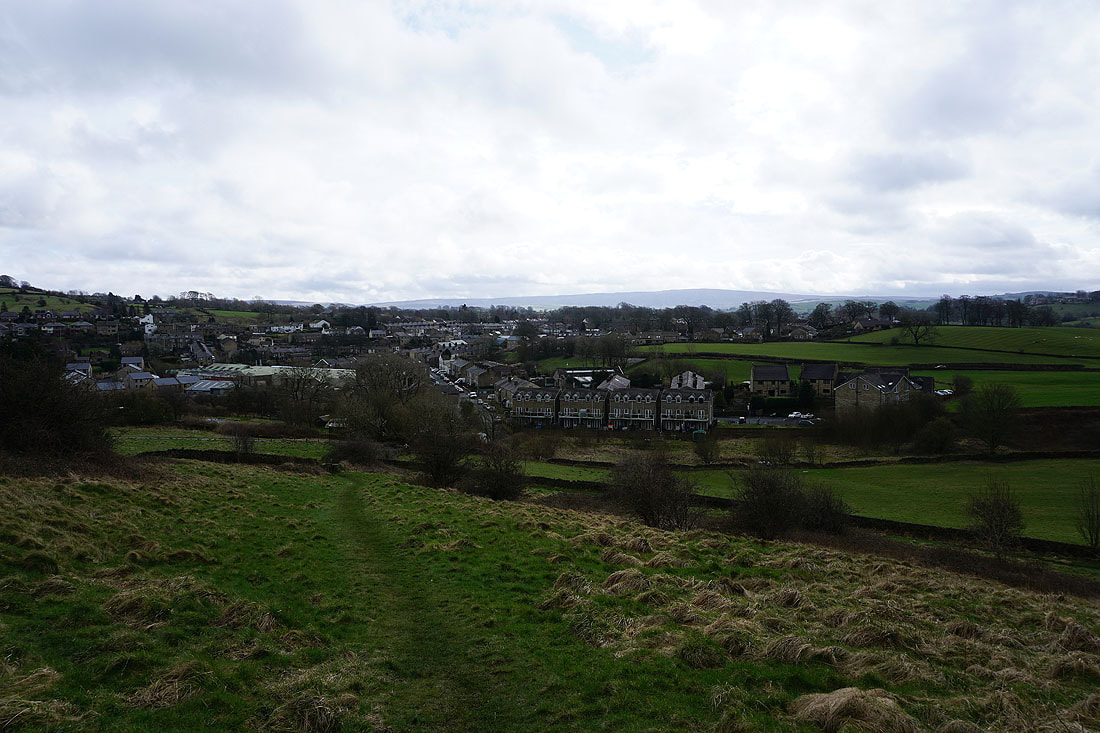
Hullet Hall
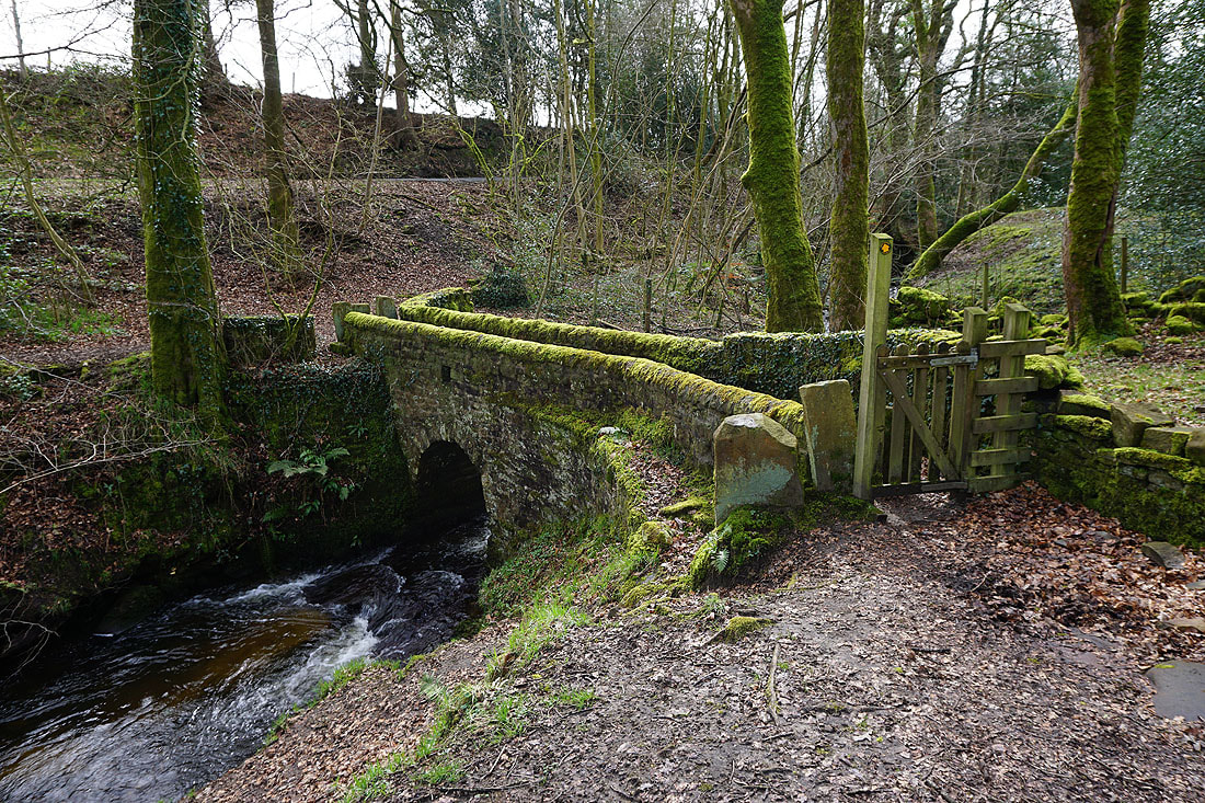
Across the bridge over County Brook..
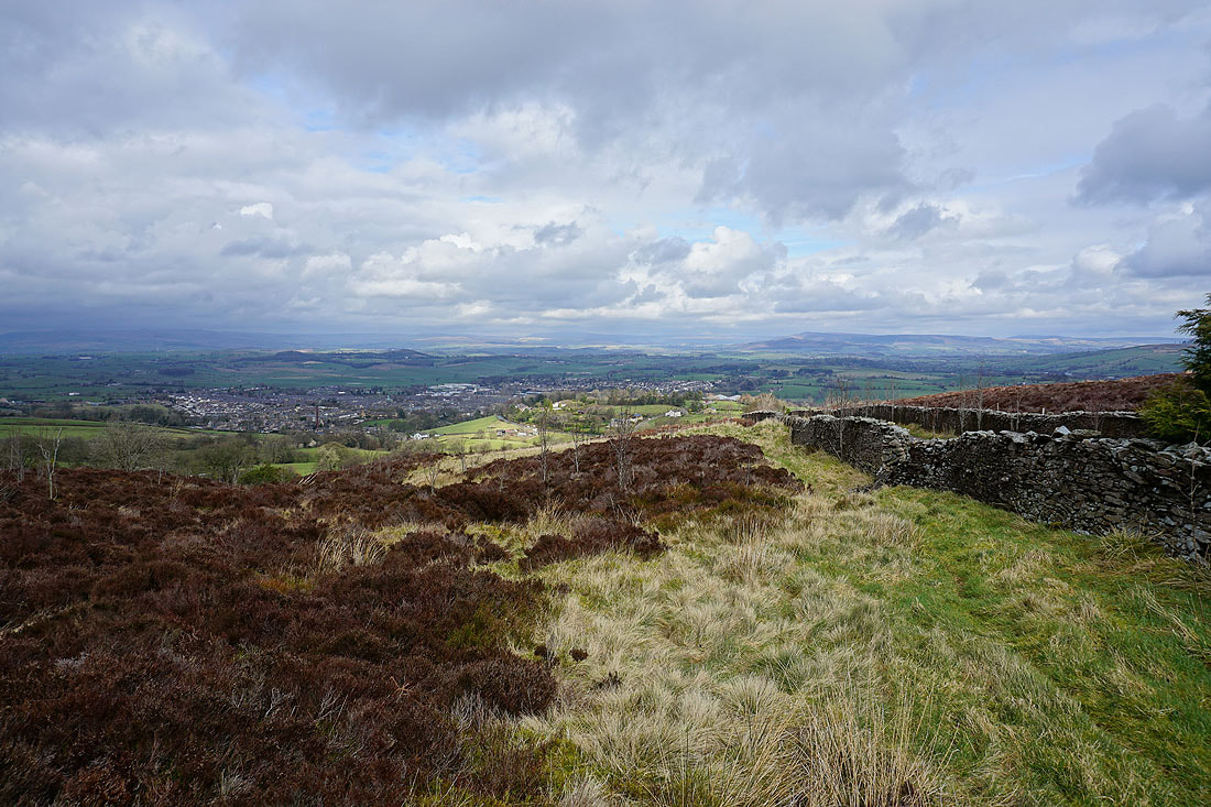
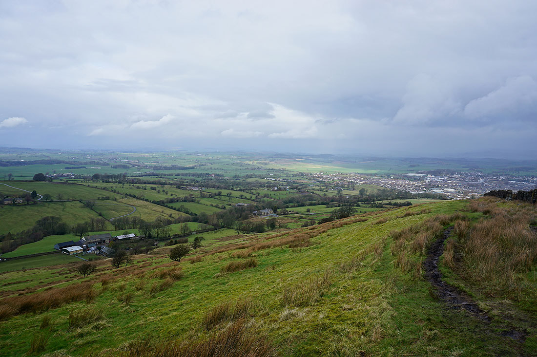
Earby and Kelbrook in the distance beneath Bleara Moor
Barden Moor and Bleara Moor..
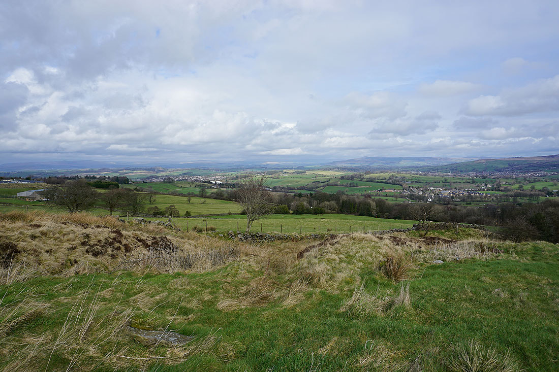
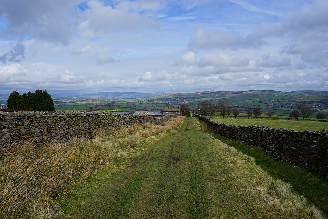
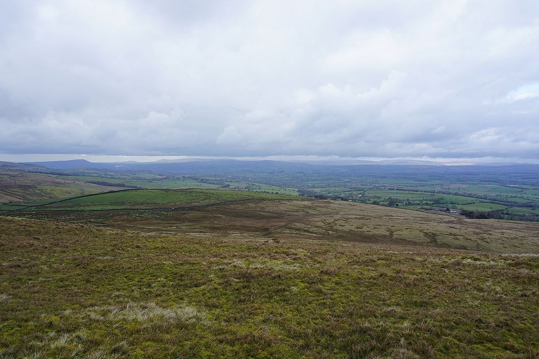
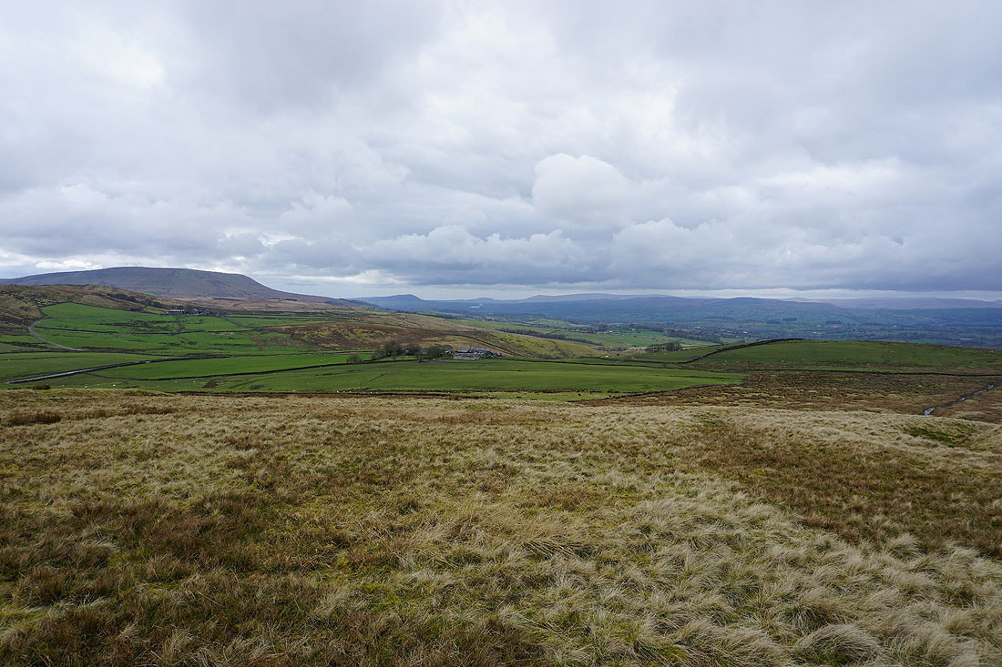
..and Barnoldswick and Salterforth below, with the Yorkshire Dales in the distance from the track up to Copy Nook
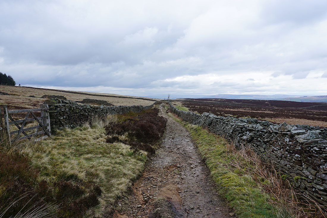
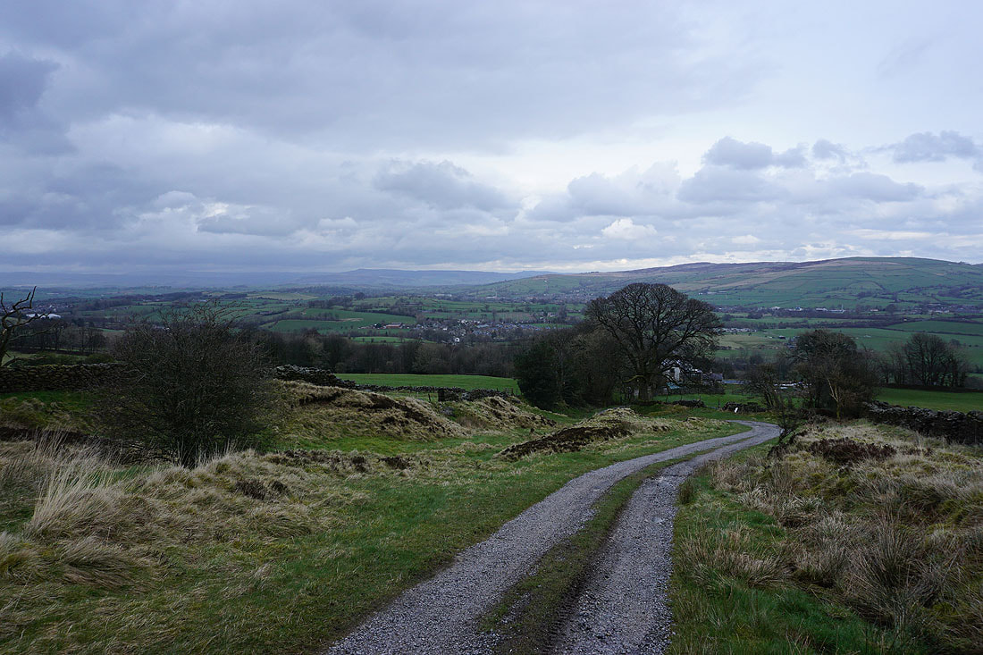
Heading for Copy Nook
There's a great view when I turn around at the top of the track. Barden Moor, Earby, Elslack Moor and Bleara Moor.
Boulsworth Hill in the distance to the south
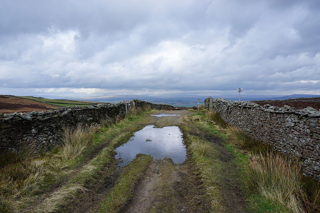
Joining the track of Lister Well Road
There's a great view to the moors around Wharfedale as I follow it downhill
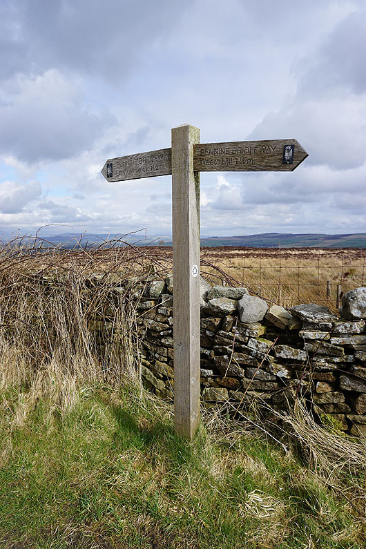
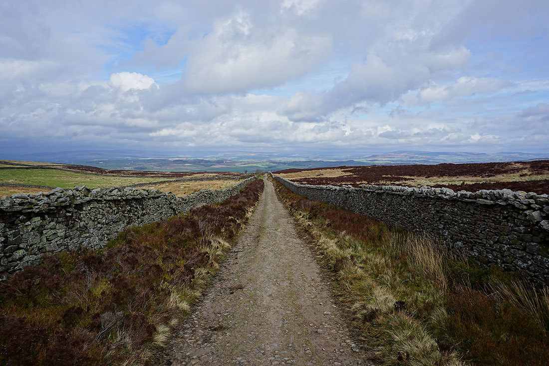
Lister Well Road is part of the Pennine Bridleway
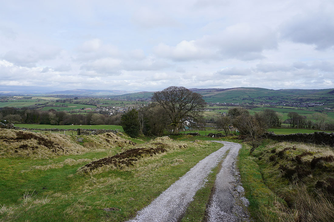
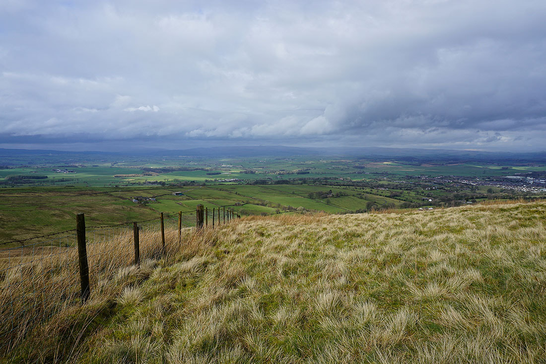
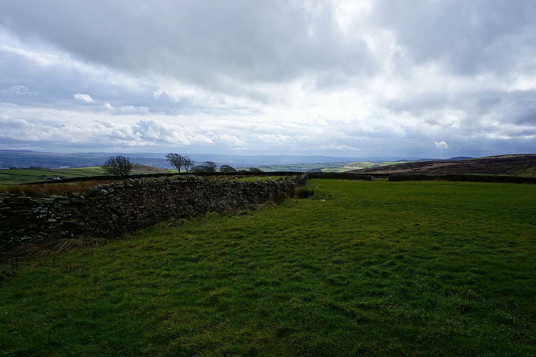
Barnoldswick below as I leave Lister Well Road for the path across the moor to Folly Lane
Elslack Moor, Bleara Moor and Kelbrook Moor in the distance
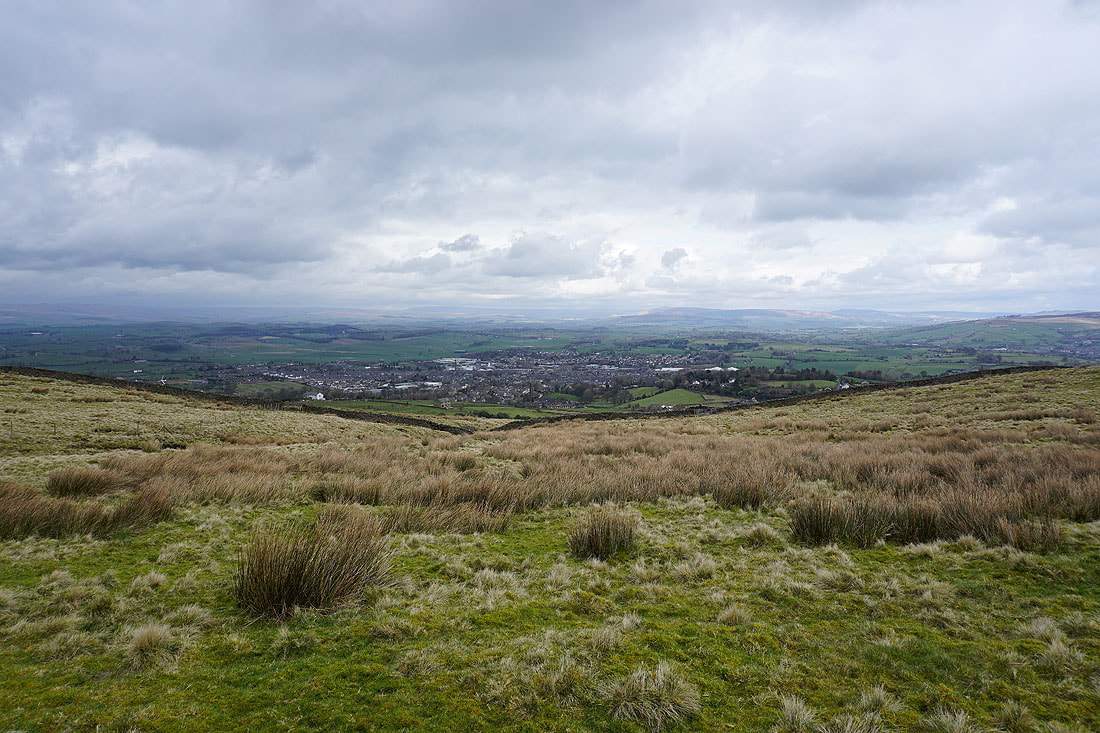
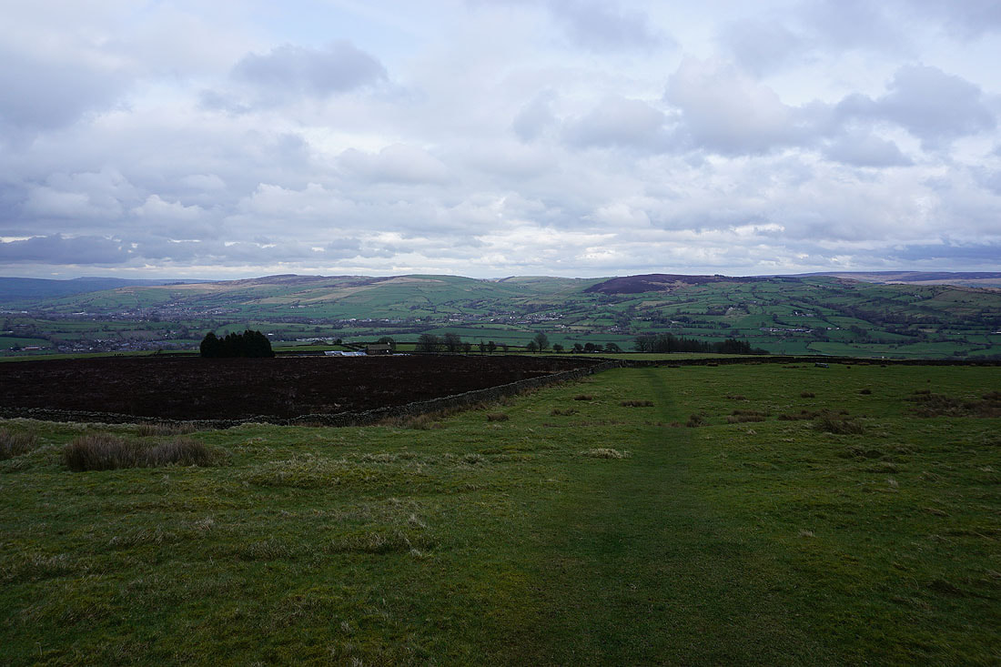
Great Whernside and Barden Moor in the distance with Barnoldswick below
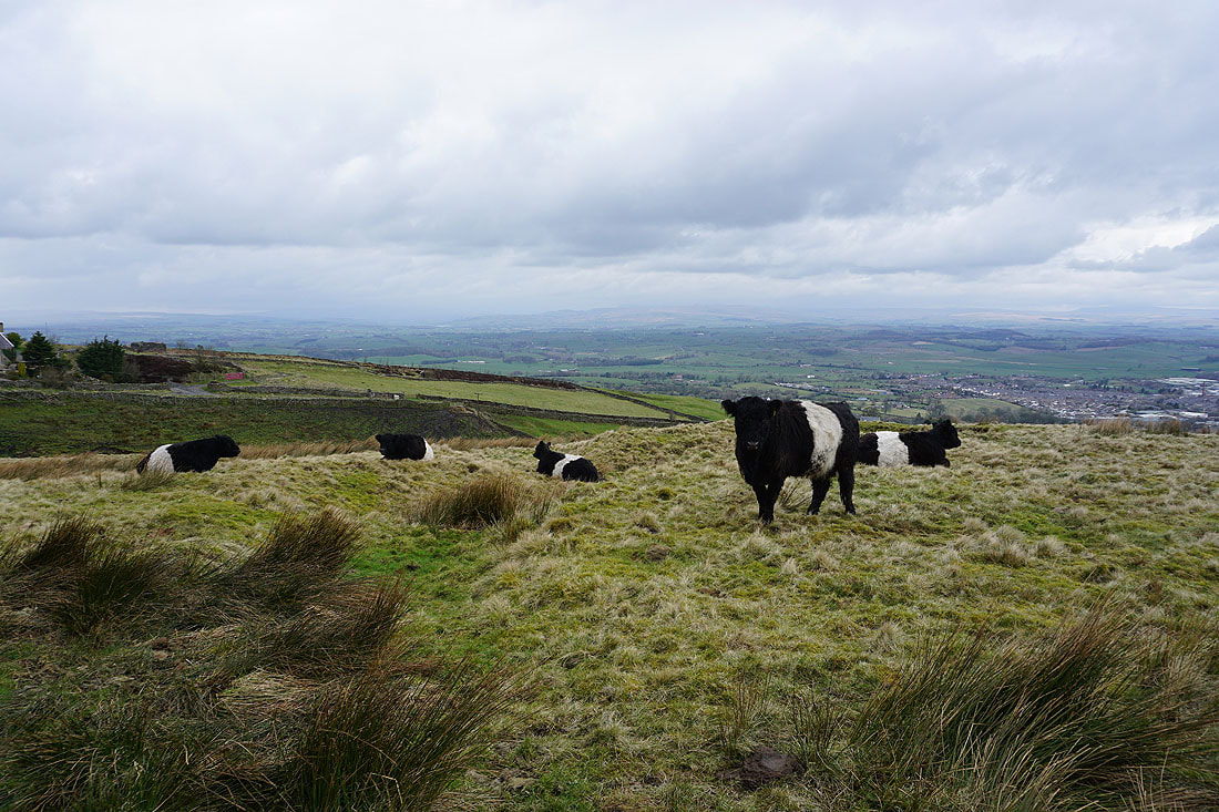
Belted Galloway cattle
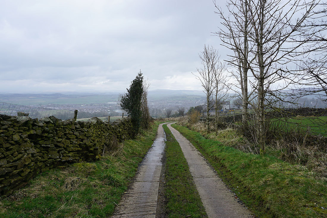
It's started to rain as I walk down Folly Lane
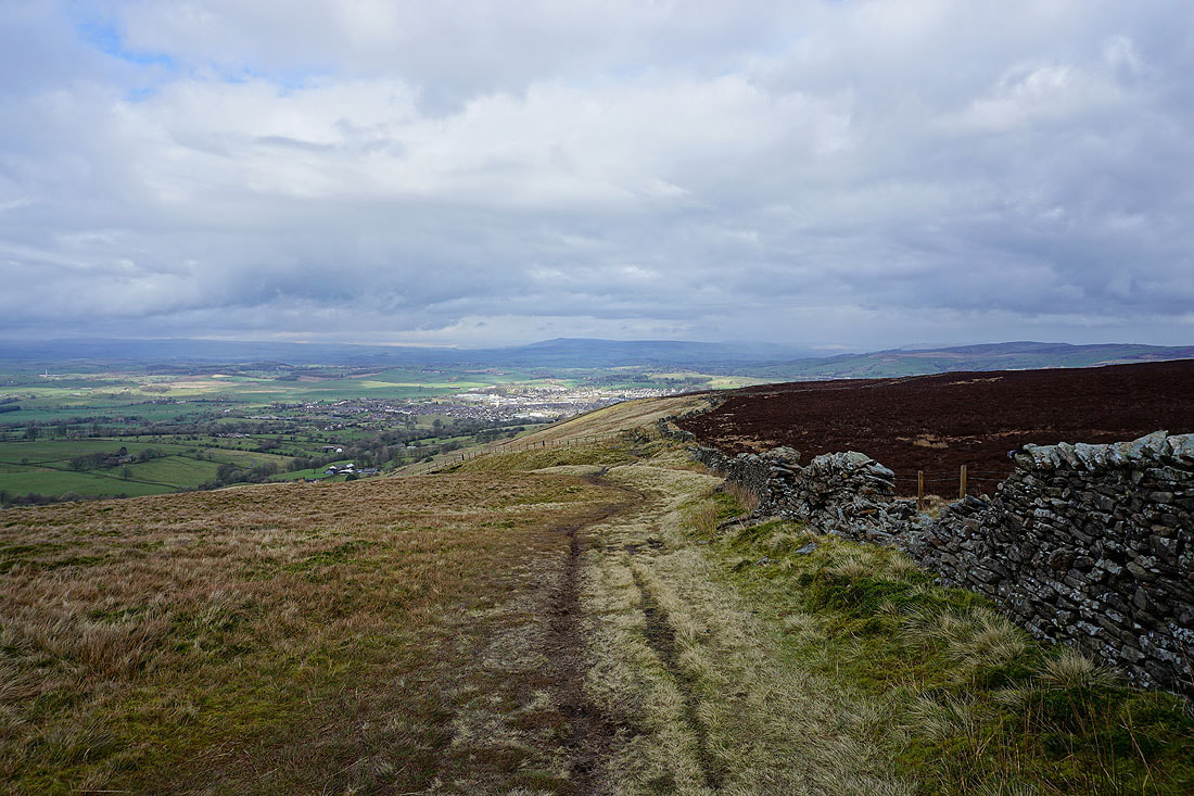
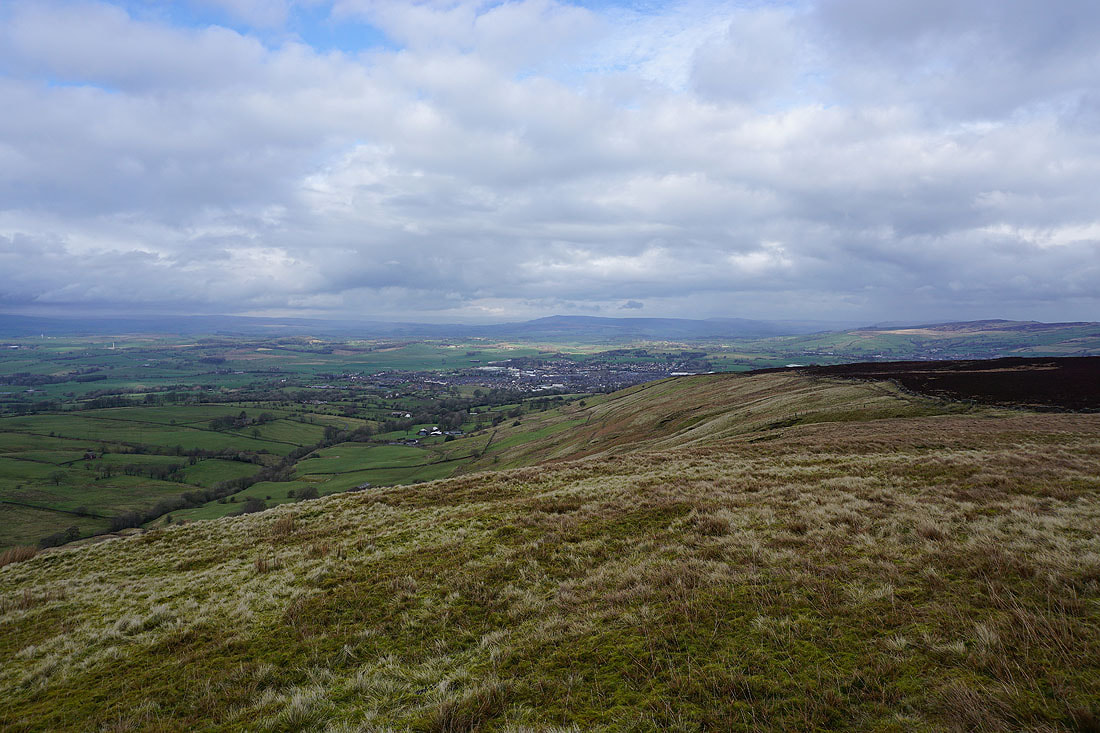
Barnoldswick below as I take the Pendle Way to the top of Weets Hill. It's still raining.
I ended up taking a break in the shelter of a wall until the shower cleared through. There was a nice view across the countryside surrounding Barnoldswick when it did..
Heading for the top of Weets Hill
Looking north to the moors around Malhamdale
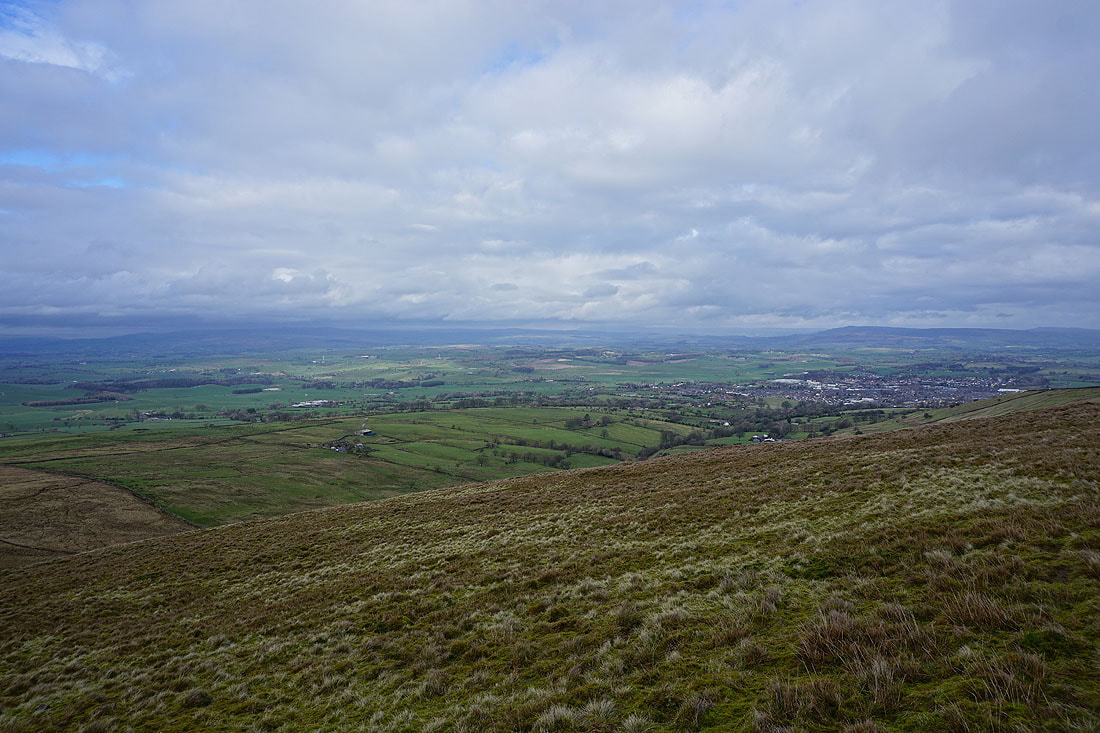
Barnoldswick with Barden Moor in the distance as I near the top of Weets Hill..
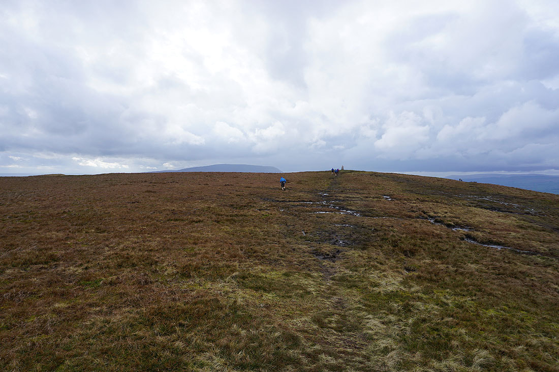
The fell runners are going to beat me to it
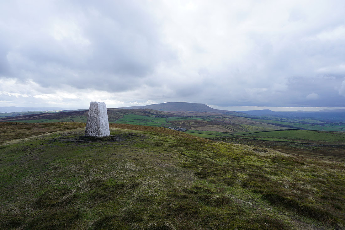
Pendle Hill from Weets Hill
The moors between Malhamdale and Wharfedale in the distance
The shower is still clearing away from the Bronte moors to the east
The Forest of Bowland in the distance beyond the Ribble Valley
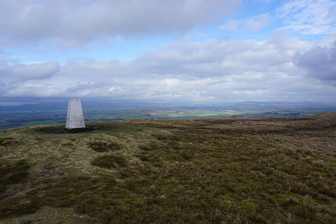
Looking towards the Yorkshire Dales from the trig point
On the Pendle Way to Weets House Farm with the South Pennine moors in the distance..
Pendle Hill and the hills of the Forest of Bowland from the Pennine Bridleway by Weets House Farm
I liked this view of the bare trees against the patches of sunlit hillside..
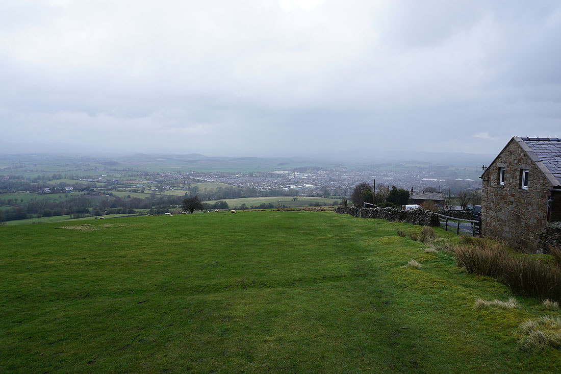
Heading down Gisburn Old Road
Looking back up to Weets Hill
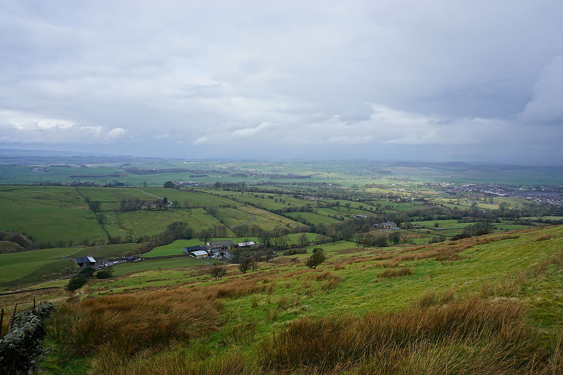
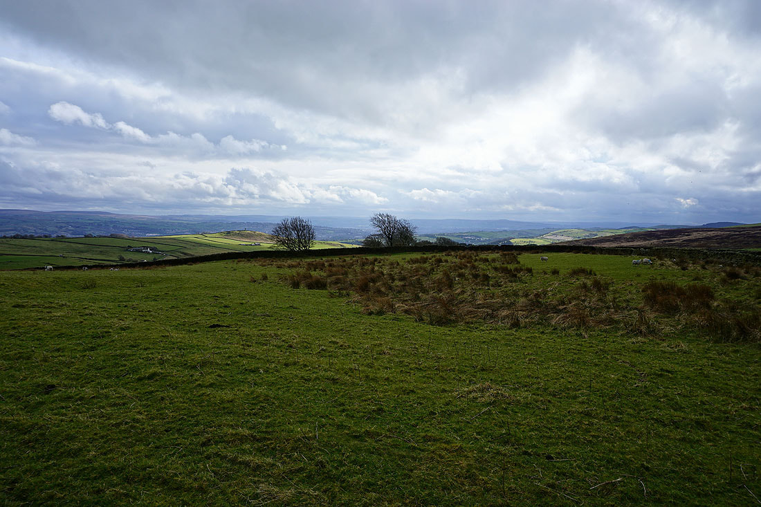
Blacko Hill and the countryside around Roughlee
Blacko Hill and Pendle Hill from the southern end of Lister Well Road
Heading northeast along Lister Well Road..
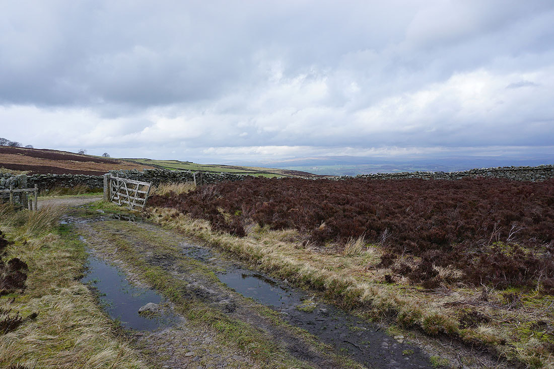
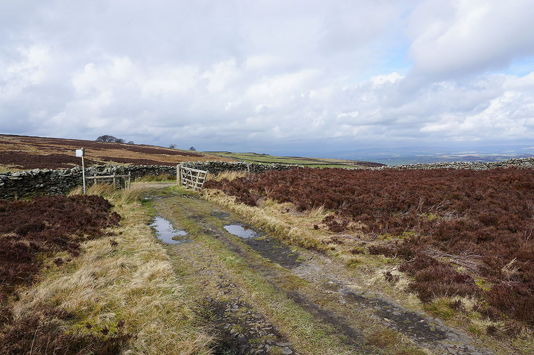
Back at the gate for the footpath down to Copy Nook
Bleara Moor, Kelbrook and Kelbrook Moor in the distance and..
..Barden Moor, Earby, Elslack Moor and Bleara Moor as I head down past Copy Nook
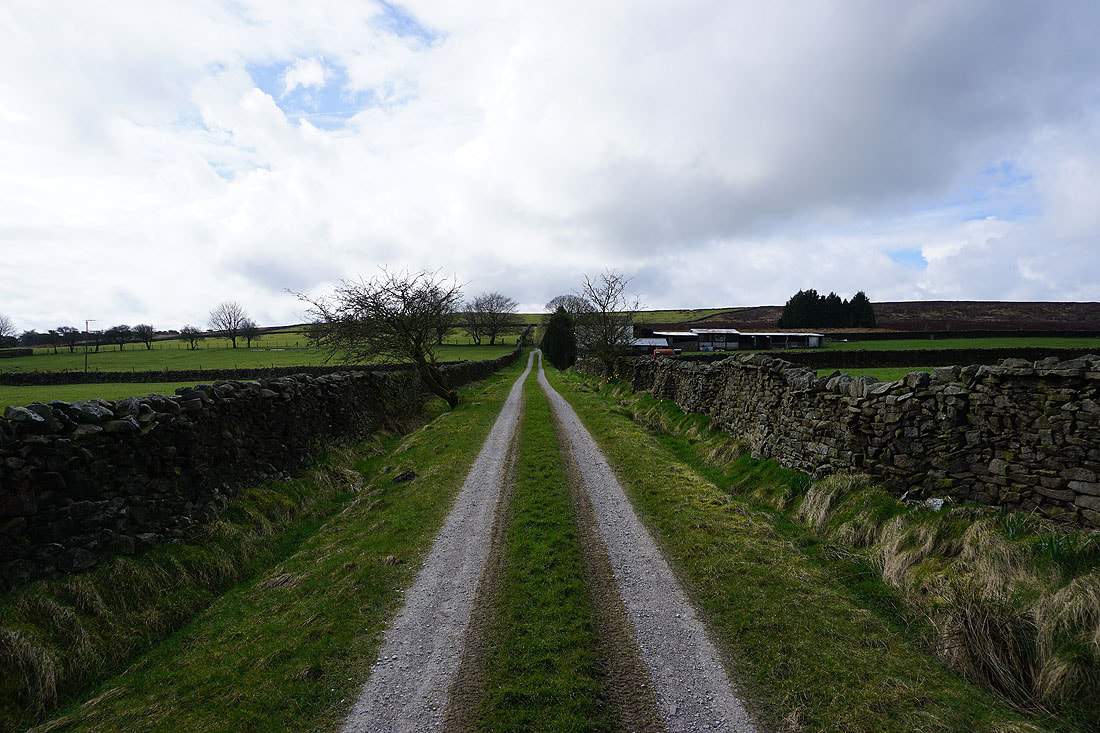
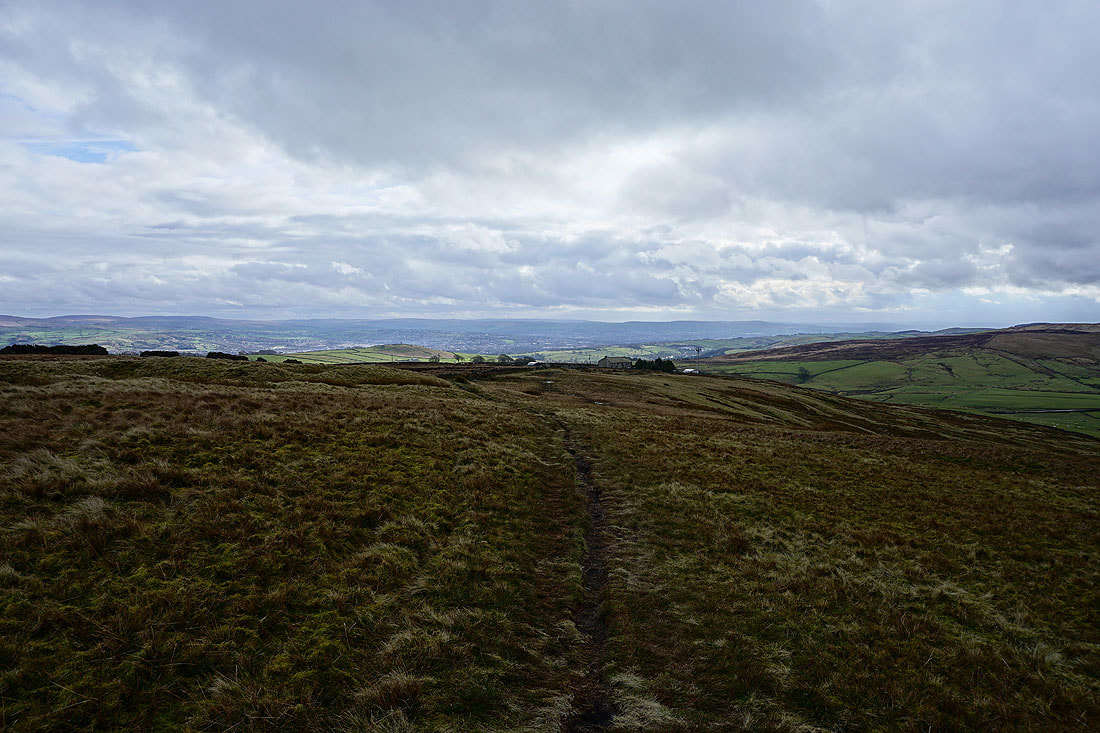
On the track down to High Lane
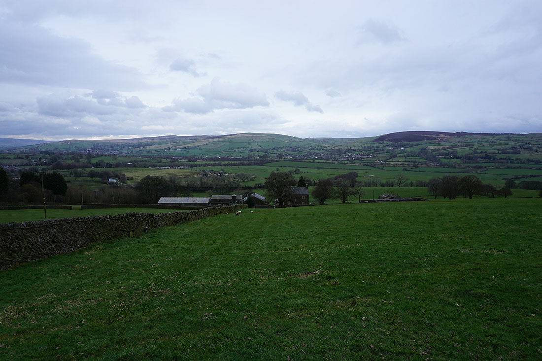
Elslack Moor, Earby, Bleara Moor, Kelbrook and Kelbrook Moor as I take the footpath from High Lane down to Booth House Farm
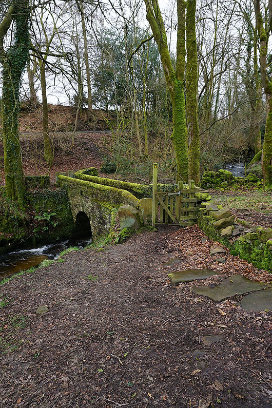
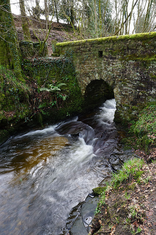
Across the footbridge over County Brook
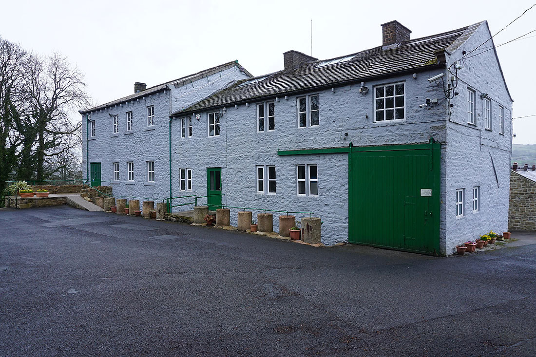
Past County Brook Mill
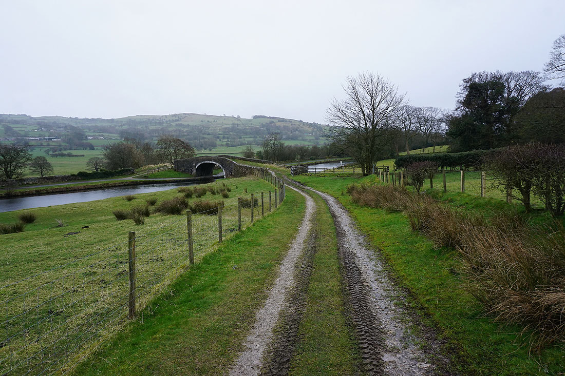
Down to Mill Hill Bridge over the Leeds and Liverpool Canal
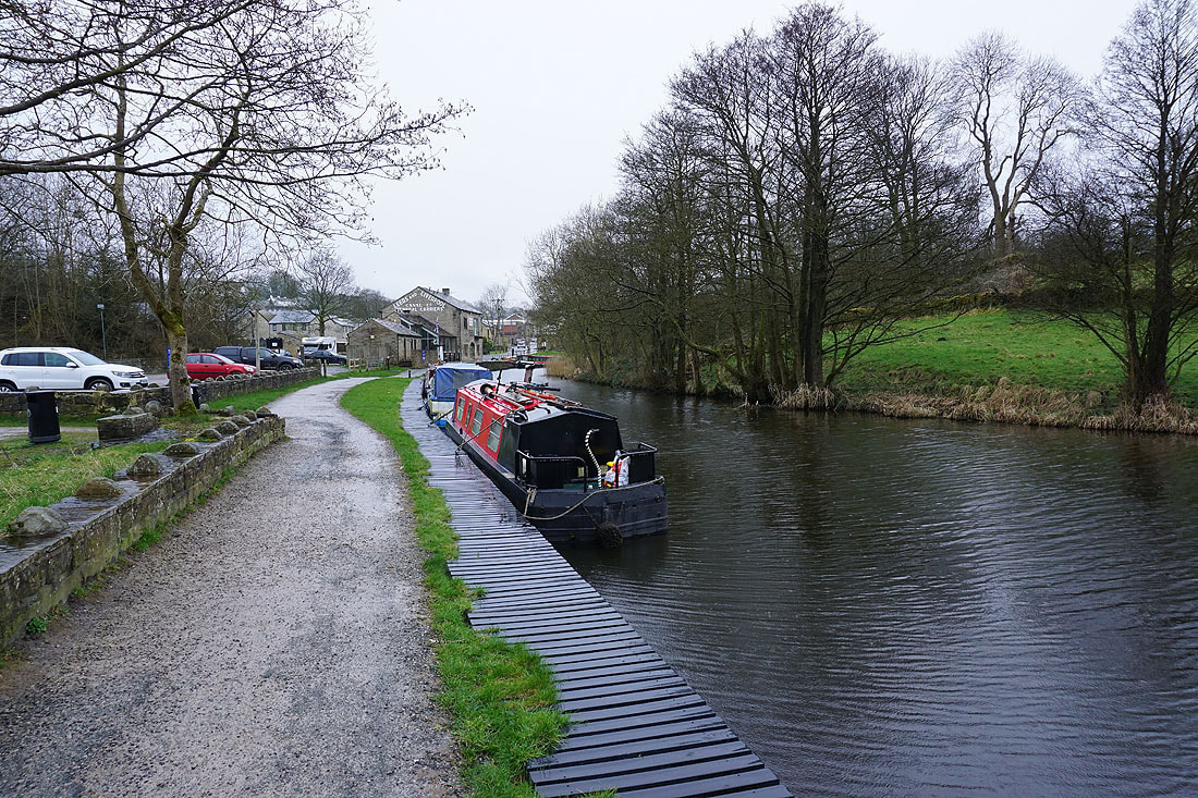
I return to Foulridge along the towpath of the Leeds and Liverpool Canal, in the rain