14th May 2011 - Kinder Scout
Walk Details
Distance walked: 8.7 miles
Total ascent: 2054 ft
OS map used: OL1 - The Peak District, Dark Peak area
Time taken: 5.5 hrs
Route description: Bowden Bridge, Hayfield-White Brow-William Clough-Pennine Way-Kinder Downfall-Pennine Way-Kinder Low-Edale Rocks-Oaken Clough-Coldwell Clough-Bowden Bridge, Hayfield
A walk from the Bowden Bridge car park past Kinder Reservoir, up William Clough and then to Kinder Downfall. From there I walked to Kinder Low and then used the bridleway from Edale Cross back to Bowden Bridge.
Route map
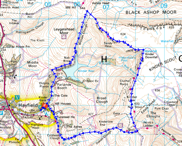
© Crown copyright. All rights reserved. License number PU 100034184.
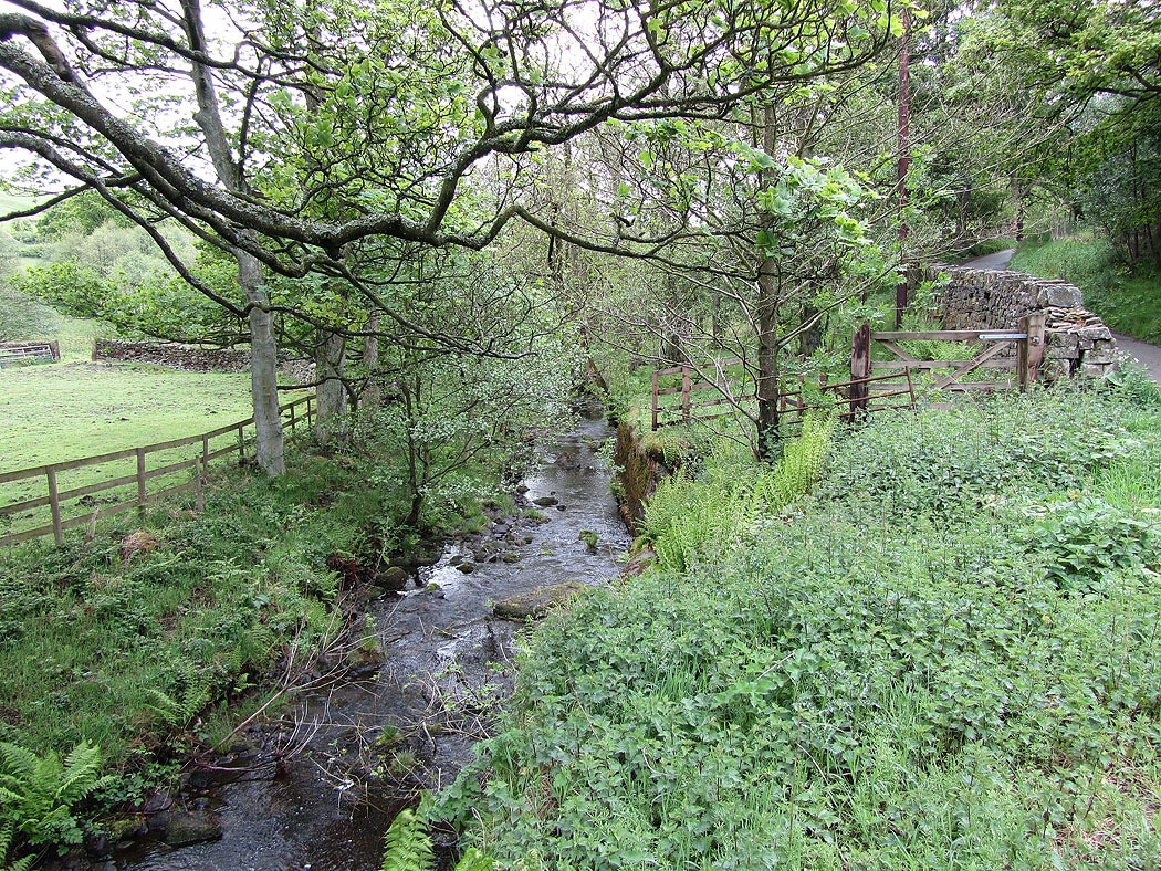
The River Kinder by the road up the reservoir
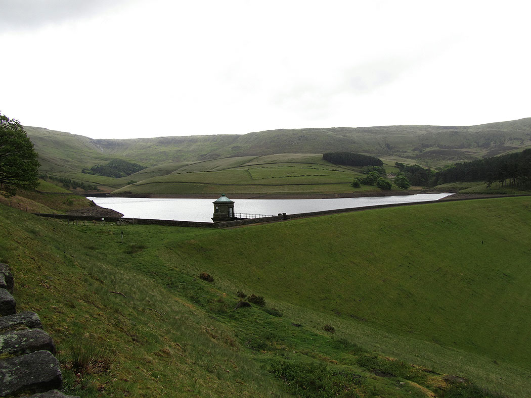
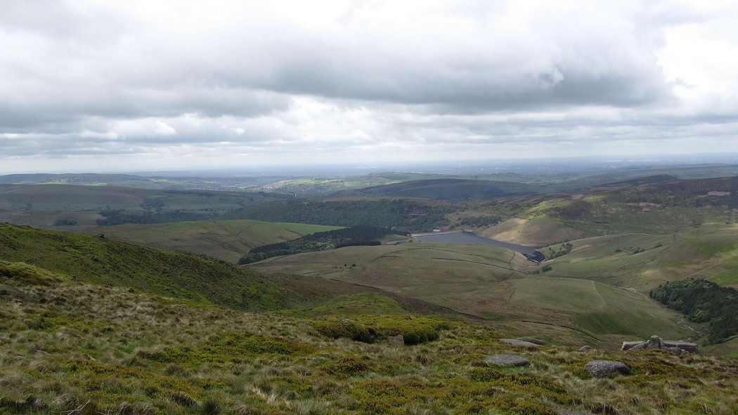
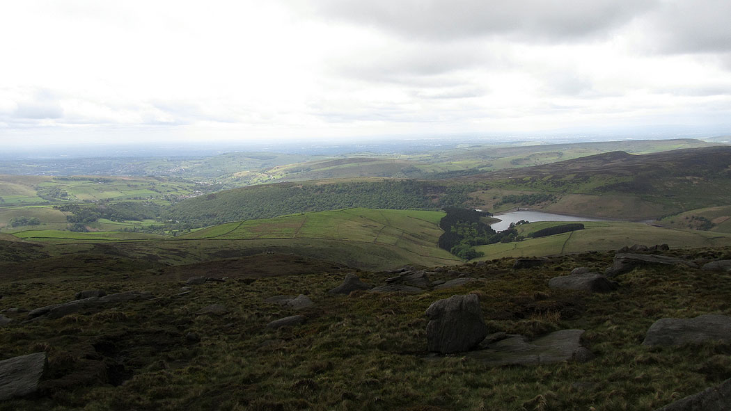
Kinder Reservoir
Kinder Downfall is at the head of the valley
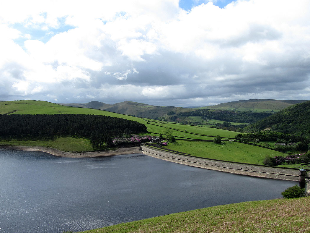
View across the reservoir to the two pointed summits of South Head and Mount Famine
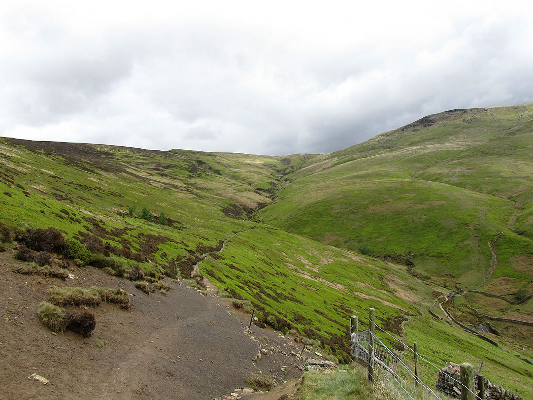
William Clough ahead
William Clough
View from the top of William Clough
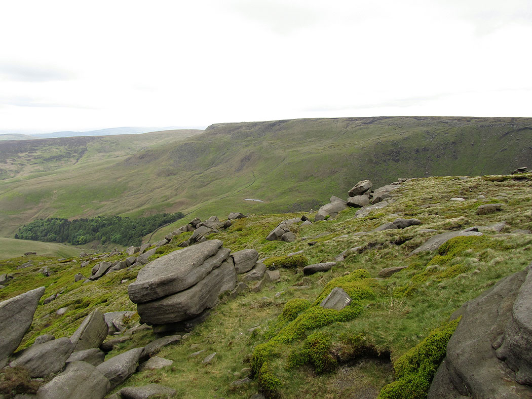
On the south edge of Kinder Scout now heading for Kinder Downfall
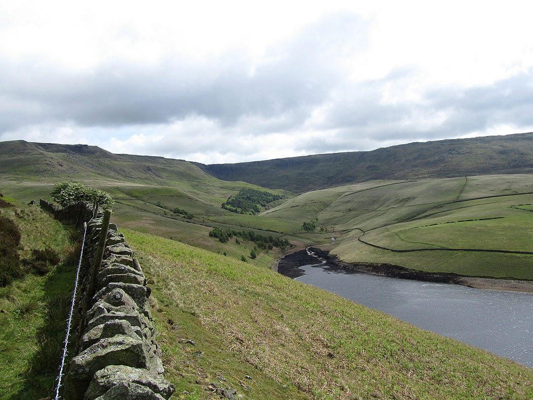
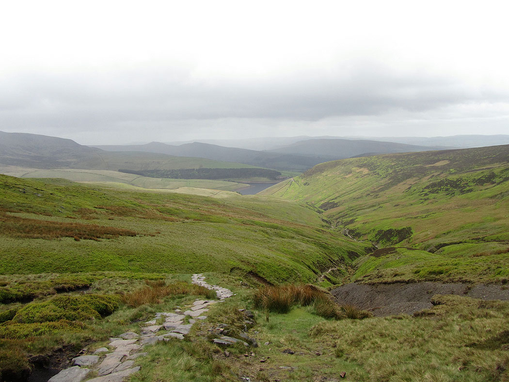
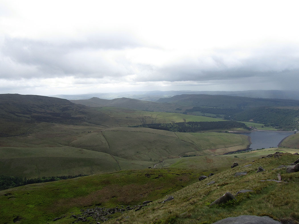
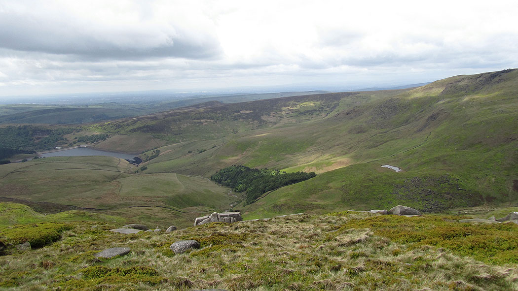
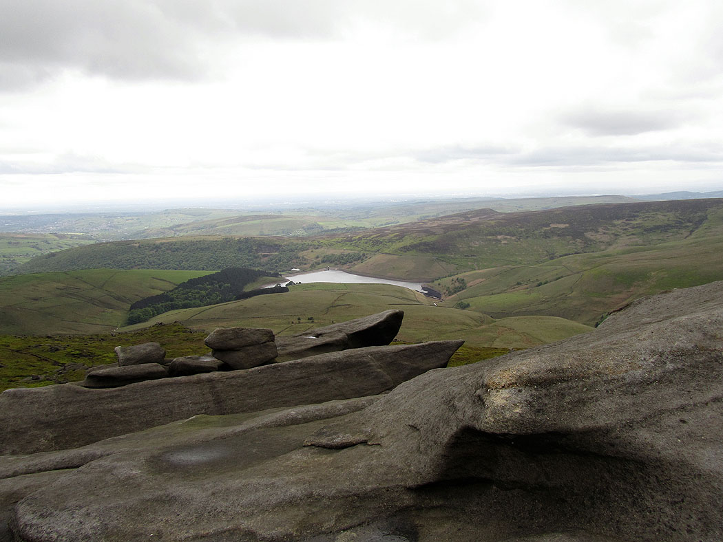
View back down to Kinder Reservoir with heavy shower approaching
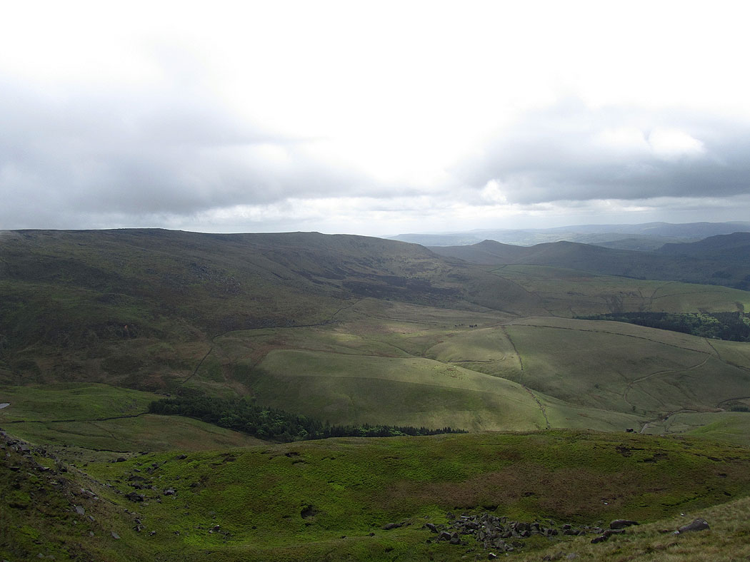
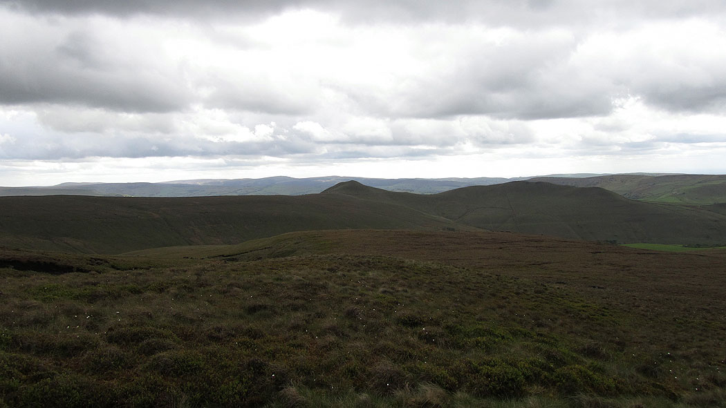
View across to Kinder Low
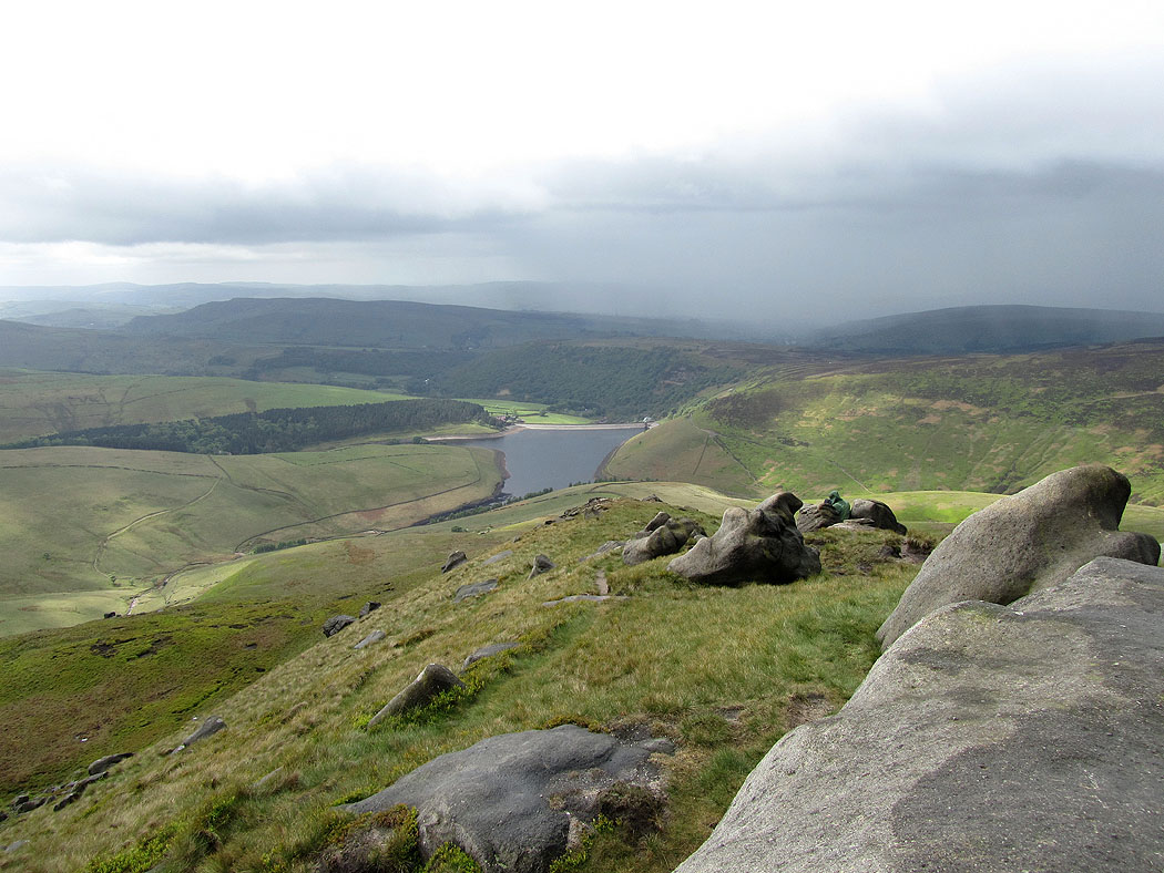
The shower is clearing at last

View from next to Kinder Downfall with the River Kinder winding its way down to the reservoir
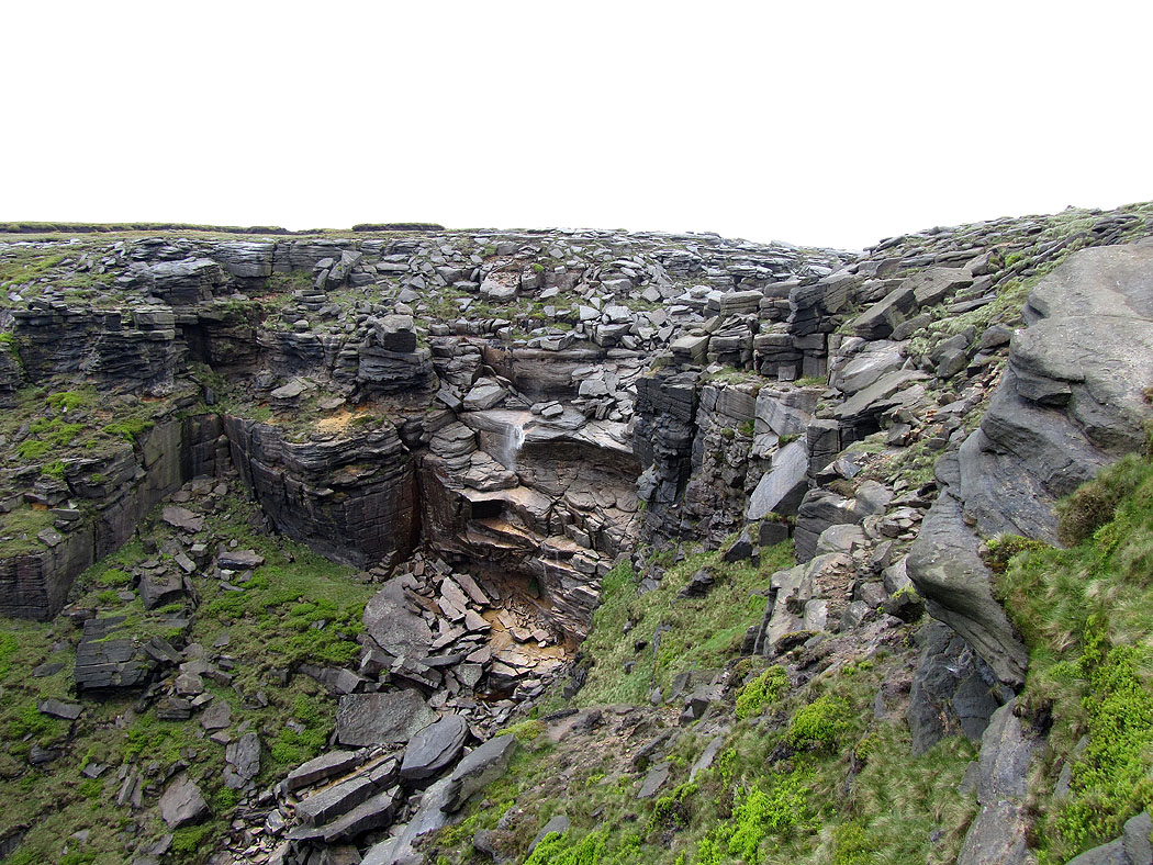
Kinder Downfall. The wind was so strong it was blowing the water back up.
Views from the edge as I walk round to Kinder Low....
Mermaid's Pool

At the trig point on Kinder Low
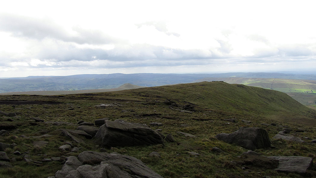
The view from Kinder Low...


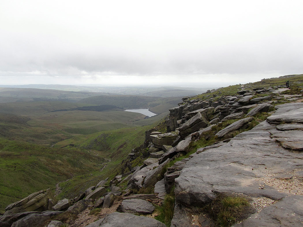
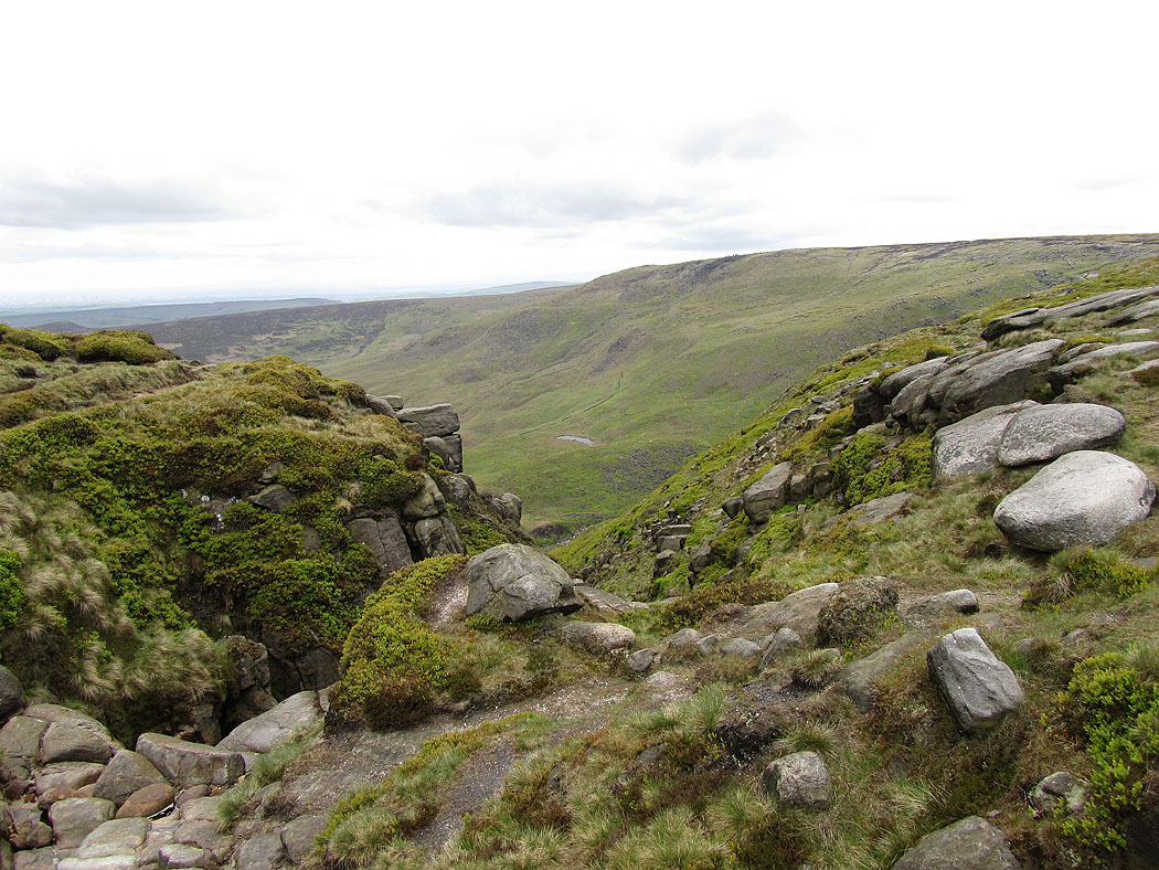
After leaving Kinder Low I walked past Edale Rocks where you get a great view down into the Vale of Edale
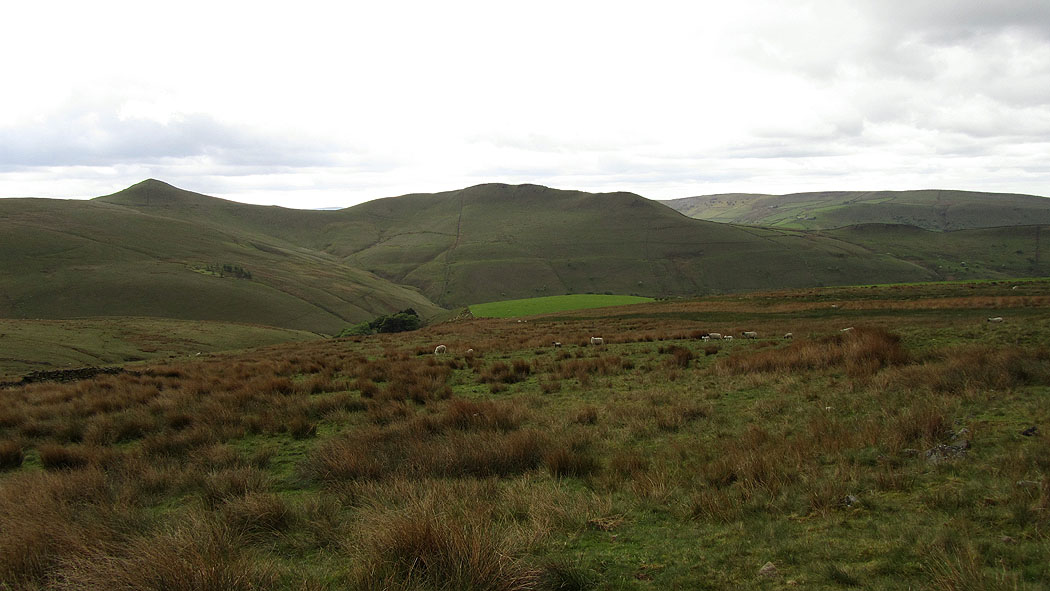
South Head and Mount Famine
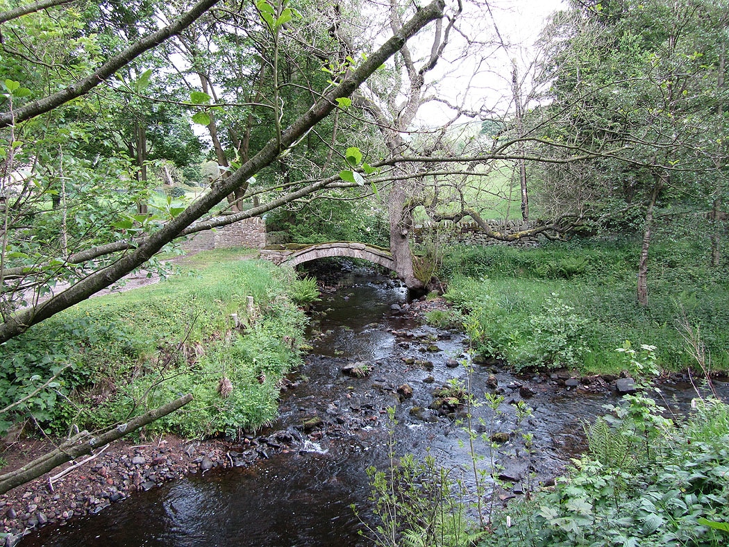
Coldwell Clough
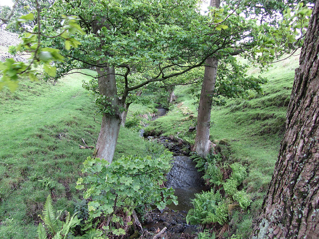
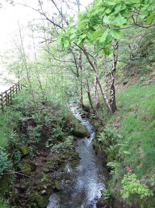
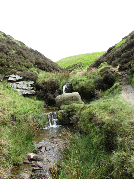
River Kinder