14th May 2016 - Roeburndale and its bluebells
Walk Details
Distance walked: 10.6 miles
Total ascent: 1922 ft
OS map used: OL41- Forest of Bowland & Ribblesdale
Time taken: 7.5 hrs
Route description: Meal Bank Bridge-Wray Bridge, Wray-Pike Gill Wood-road on eastern side of Roeburndale-Outhwaite Wood-Bowskill Wood-Barkin Gate Wood-road on western side of Roeburndale-Barkin Bridge-Lower Salter-Haylot Farm-Melling Wood-Mallowdale-Mallowdale Bridge-High Salter-Harterbeck-Wray Wood Moor-road on eastern side of Roeburndale-Pike Gill Wood-Wray Bridge, Wray-Meal Bank Bridge
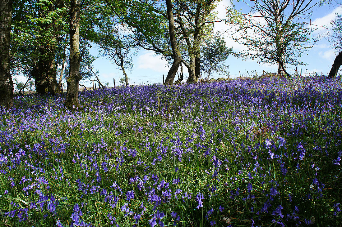
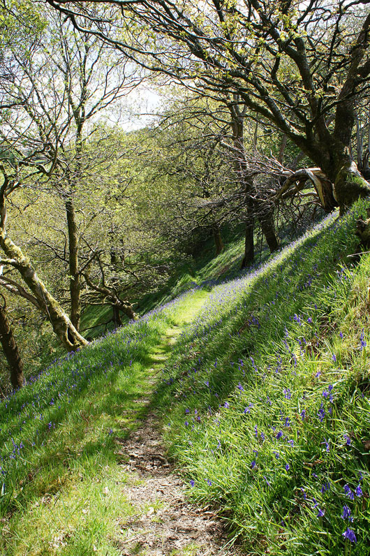
It's the bluebell time of year again and in keeping with recent years I'm trying to plan walks that will visit places that I've found have good displays. Today it's Outhwaite Wood in Roeburndale in the Forest of Bowland. This is a new location though, so I didn't know beforehand just how good it would be or otherwise, but a guide book I have did say that Outhwaite Wood is "thickly carpeted with bluebells in spring", so I had high hopes. I based my route on a walk that I found on the Forest of Bowland AONB website, I've attached a link, but I extended it to include part of a walk that I did around Roeburndale a couple of years ago. The paths through Outhwaite Wood and across to the other side of Roeburndale are all permissive and don't appear on my OS map, so without a bit of research and prior knowledge I wouldn't have known that I could do this walk. I found them to be marked out quite well but I did end up following a different route than I'd planned. Besides marker posts with "Natural England" and "Roeburndale" discs there was a route marked out with yellow ribbons and then flags on posts. I followed this from exiting Bowskill Wood to where I reached the road on the western side of Roeburndale. I discovered a sign here that said "Roeburndale Bluebell Walk", perhaps it's only marked out at this time of year. The displays of bluebells in Outhwaite Wood were fantastic, I'll definitely be visiting them again.
After parking in a layby at Meal Bank Bridge on the B6480 just outside Wray I took the path by the Rivers Hindburn and Roeburn to Wray Bridge in Wray. I crossed the road and walked past the Bridge House Farm garden centre and then up the steep road opposite. I followed this uphill past Above Beck Farm to reach a bridleway on the right that headed down into Pike Gill Wood, across Hunt's Gill Beck and up to the road on the eastern side of Roeburndale at Alcocks Farm. I then turned left and after walking up the road I reached a public footpath on the right that heads down across a couple of fields and into Outhwaite Wood. I soon left the public footpath for the permissive paths. They took me across a field by the River Roeburn, then up through Outhwaite and Bowskill Woods. On exiting Bowskill Wood a route marked out with flags on poles was followed down across fields into the woods by the River Roeburn, then over a footbridge, up a track and across a couple of fields to reach the road on the western side of Roeburndale south of Back Farm. I then had a walk along the road south up the valley over Barkin Bridge, past Lower Salter and then onto the byway up to Haylot Farm. A footpath from here was taken down into Melling Wood, up to Mallowdale Farm, then along a track over Mallowdale Bridge and up a path to High Salter. After walking round the farm to the end of the road to it I took the footpath on the right across fields and Goodber Beck to Harterbeck Farm. This was the last farm I visited, my route then took me across the fields above the eastern side of Roeburndale and Wray Wood Moor and past Outhwaite to the road on the eastern side of Roeburndale. From here I retraced my outbound route to where I was parked outside Wray.
Total ascent: 1922 ft
OS map used: OL41- Forest of Bowland & Ribblesdale
Time taken: 7.5 hrs
Route description: Meal Bank Bridge-Wray Bridge, Wray-Pike Gill Wood-road on eastern side of Roeburndale-Outhwaite Wood-Bowskill Wood-Barkin Gate Wood-road on western side of Roeburndale-Barkin Bridge-Lower Salter-Haylot Farm-Melling Wood-Mallowdale-Mallowdale Bridge-High Salter-Harterbeck-Wray Wood Moor-road on eastern side of Roeburndale-Pike Gill Wood-Wray Bridge, Wray-Meal Bank Bridge
It's the bluebell time of year again and in keeping with recent years I'm trying to plan walks that will visit places that I've found have good displays. Today it's Outhwaite Wood in Roeburndale in the Forest of Bowland. This is a new location though, so I didn't know beforehand just how good it would be or otherwise, but a guide book I have did say that Outhwaite Wood is "thickly carpeted with bluebells in spring", so I had high hopes. I based my route on a walk that I found on the Forest of Bowland AONB website, I've attached a link, but I extended it to include part of a walk that I did around Roeburndale a couple of years ago. The paths through Outhwaite Wood and across to the other side of Roeburndale are all permissive and don't appear on my OS map, so without a bit of research and prior knowledge I wouldn't have known that I could do this walk. I found them to be marked out quite well but I did end up following a different route than I'd planned. Besides marker posts with "Natural England" and "Roeburndale" discs there was a route marked out with yellow ribbons and then flags on posts. I followed this from exiting Bowskill Wood to where I reached the road on the western side of Roeburndale. I discovered a sign here that said "Roeburndale Bluebell Walk", perhaps it's only marked out at this time of year. The displays of bluebells in Outhwaite Wood were fantastic, I'll definitely be visiting them again.
After parking in a layby at Meal Bank Bridge on the B6480 just outside Wray I took the path by the Rivers Hindburn and Roeburn to Wray Bridge in Wray. I crossed the road and walked past the Bridge House Farm garden centre and then up the steep road opposite. I followed this uphill past Above Beck Farm to reach a bridleway on the right that headed down into Pike Gill Wood, across Hunt's Gill Beck and up to the road on the eastern side of Roeburndale at Alcocks Farm. I then turned left and after walking up the road I reached a public footpath on the right that heads down across a couple of fields and into Outhwaite Wood. I soon left the public footpath for the permissive paths. They took me across a field by the River Roeburn, then up through Outhwaite and Bowskill Woods. On exiting Bowskill Wood a route marked out with flags on poles was followed down across fields into the woods by the River Roeburn, then over a footbridge, up a track and across a couple of fields to reach the road on the western side of Roeburndale south of Back Farm. I then had a walk along the road south up the valley over Barkin Bridge, past Lower Salter and then onto the byway up to Haylot Farm. A footpath from here was taken down into Melling Wood, up to Mallowdale Farm, then along a track over Mallowdale Bridge and up a path to High Salter. After walking round the farm to the end of the road to it I took the footpath on the right across fields and Goodber Beck to Harterbeck Farm. This was the last farm I visited, my route then took me across the fields above the eastern side of Roeburndale and Wray Wood Moor and past Outhwaite to the road on the eastern side of Roeburndale. From here I retraced my outbound route to where I was parked outside Wray.
Route map
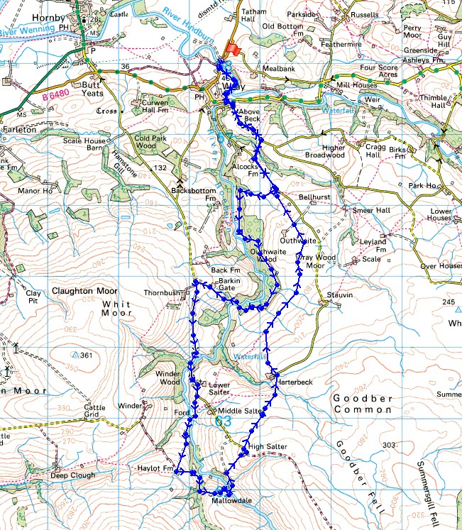
© Crown copyright. All rights reserved. License number PU 100034184.
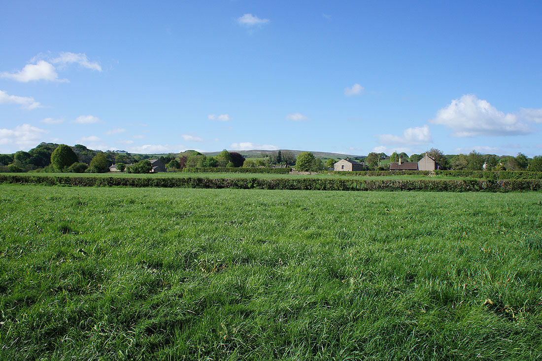
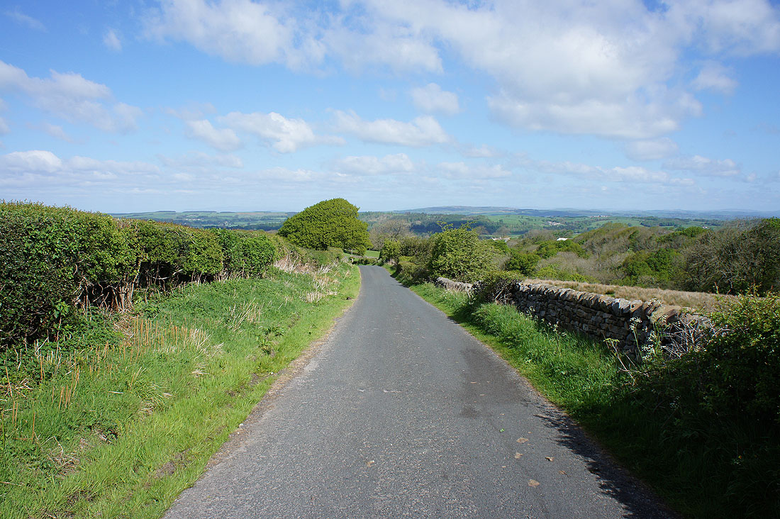
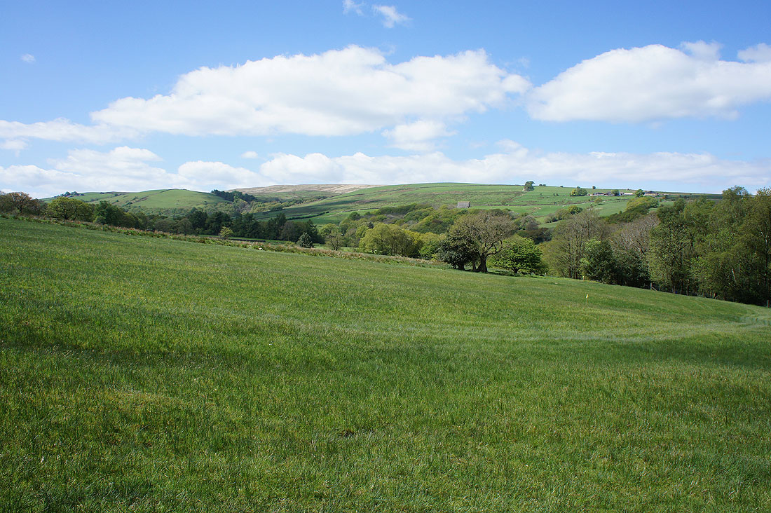
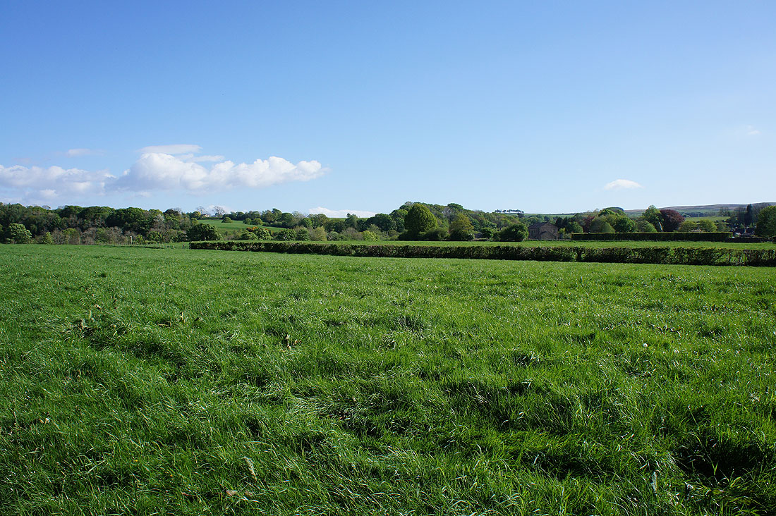
It's a glorious morning as I set off on the outskirts of Wray

|
|
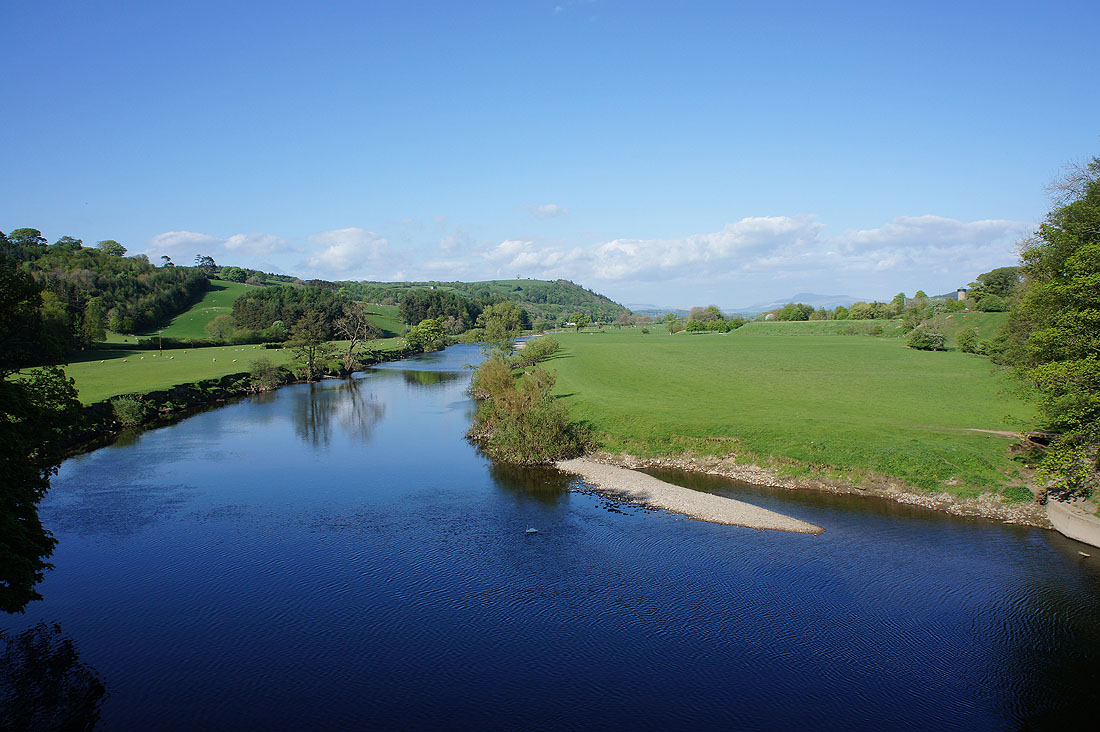
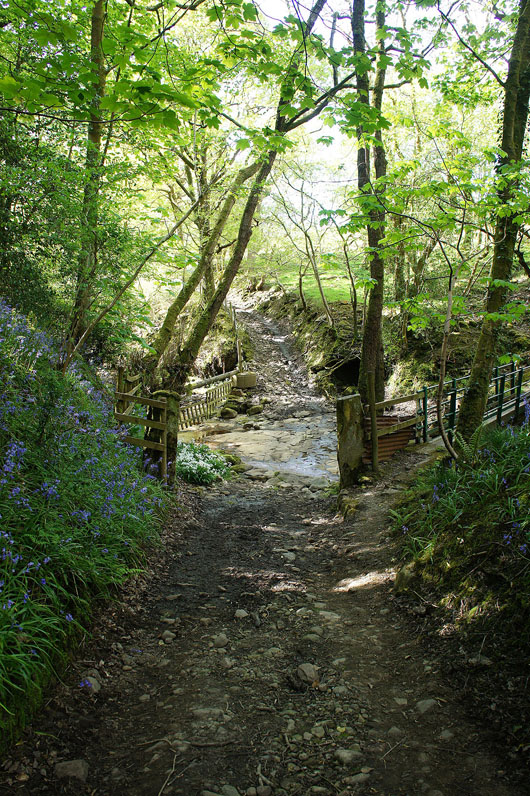
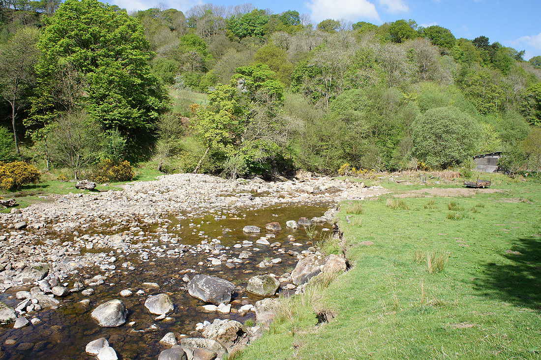
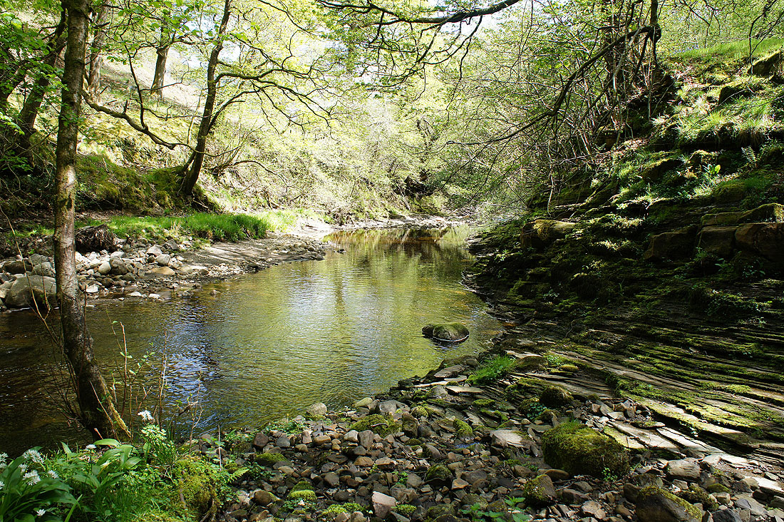
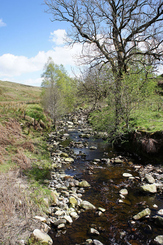
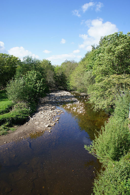
The River Roeburn from Wray Bridge and the ford across Hunt's Gill Beck in Pike Gill Wood
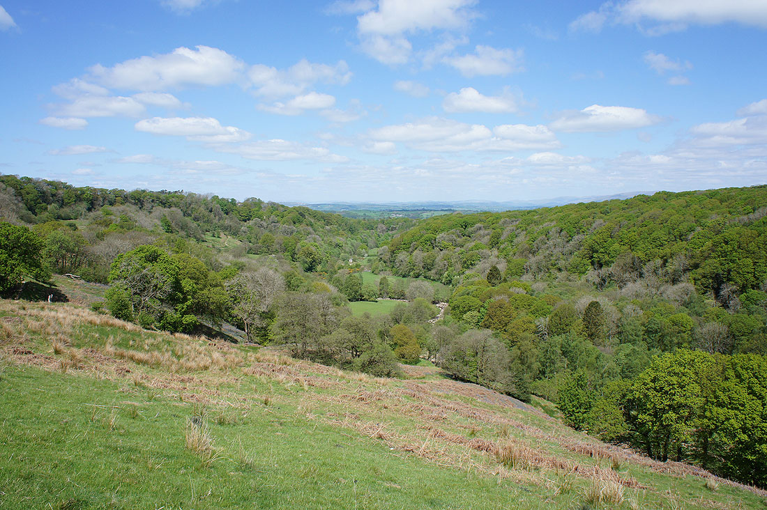
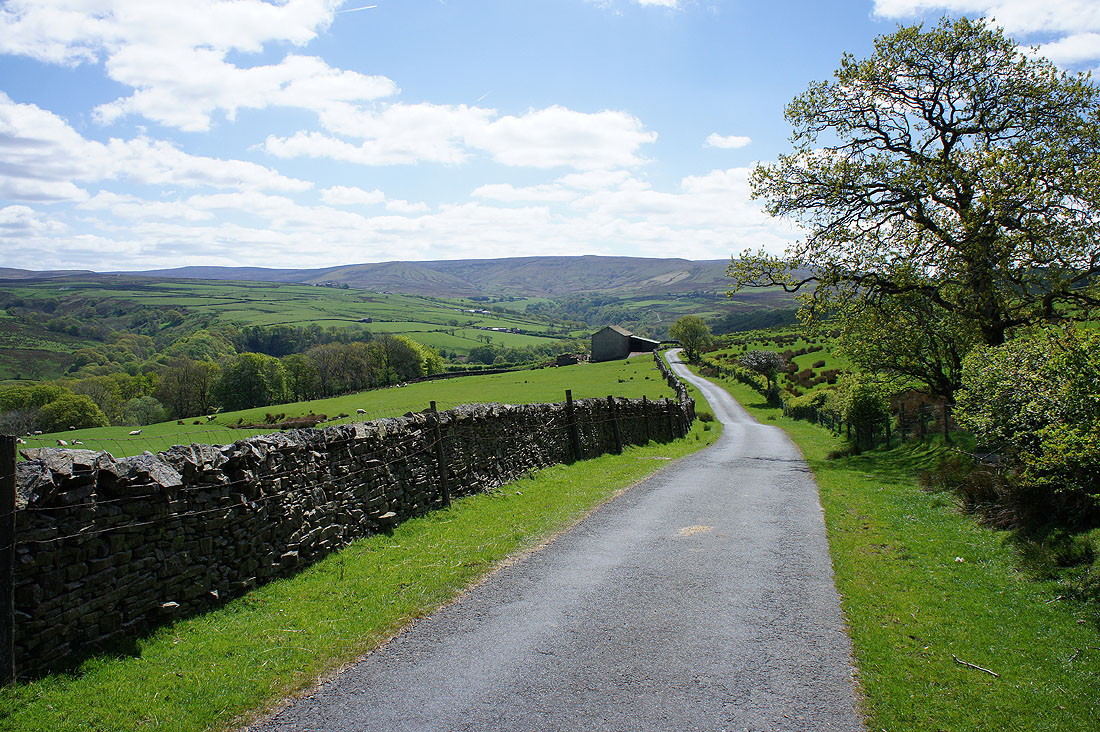
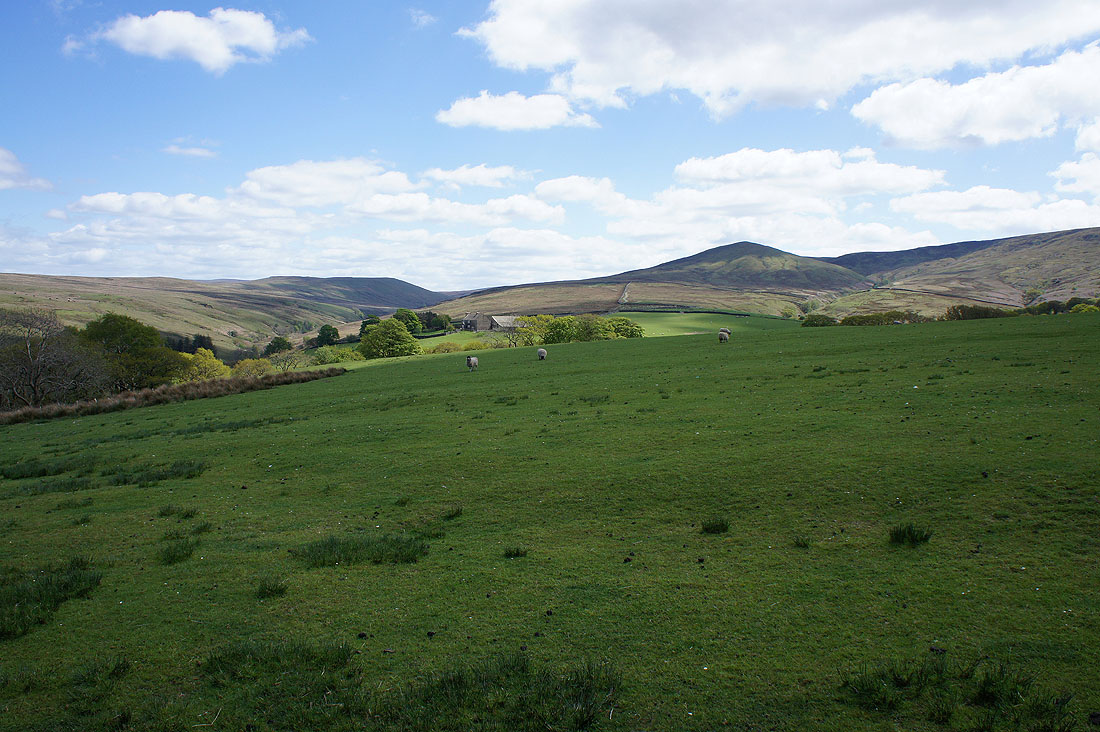
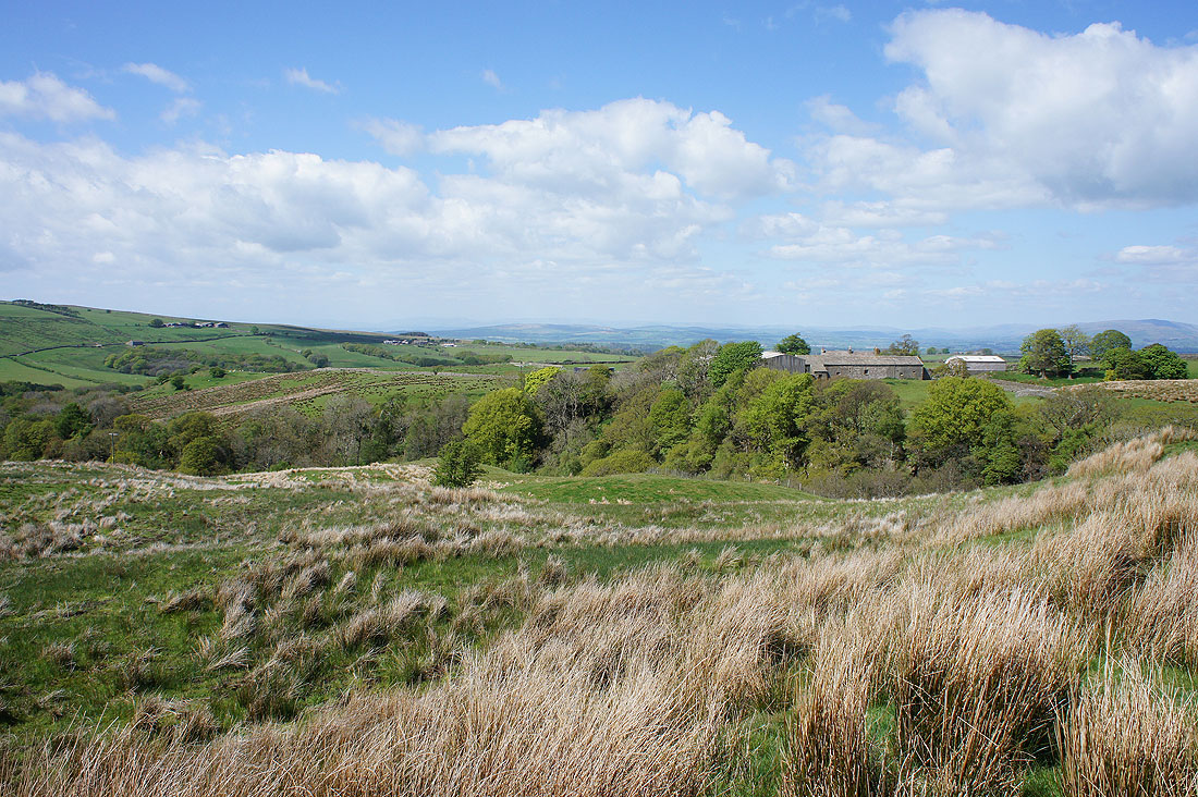
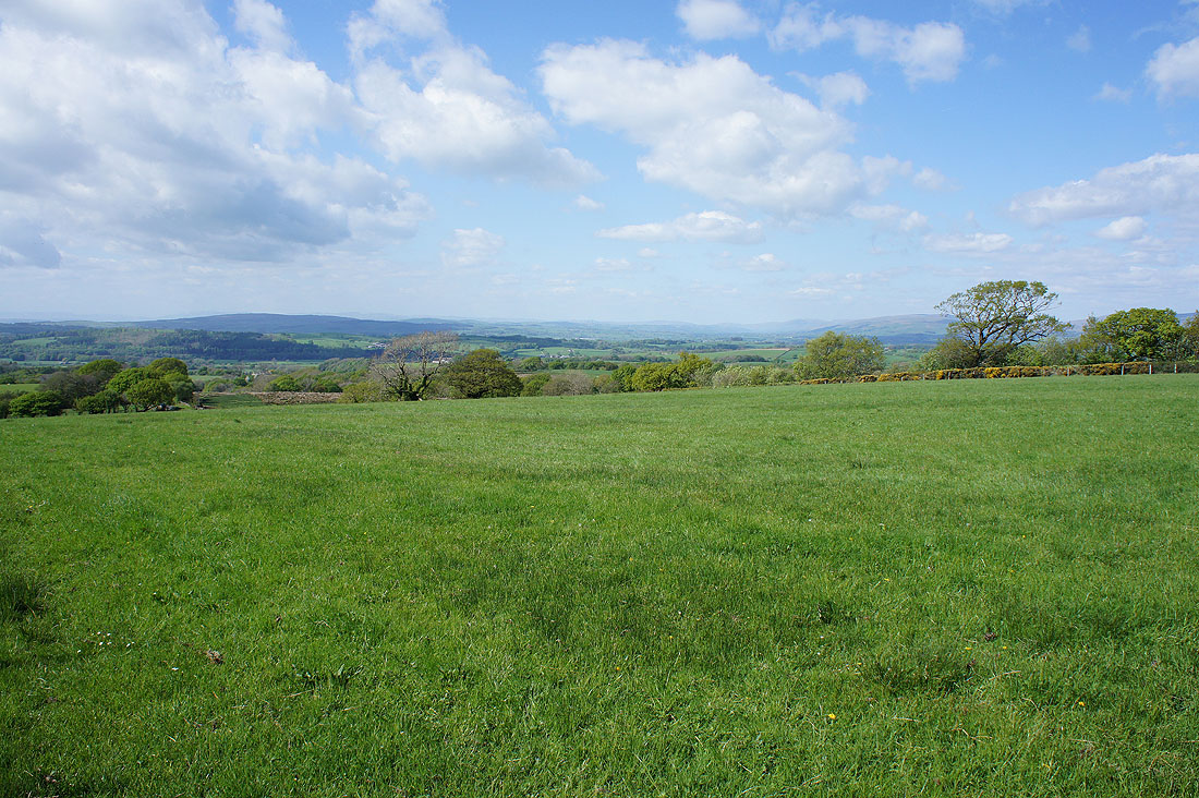
Looking back from the road above the eastern side of Roeburndale
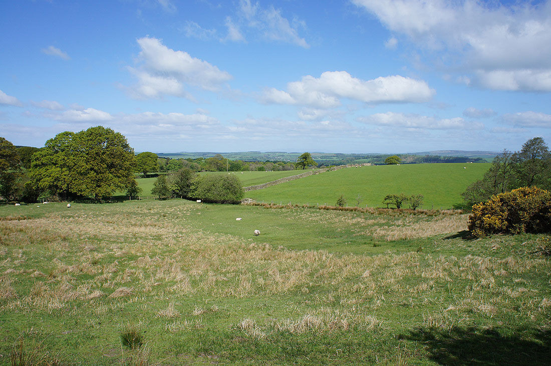
and a view to the north over Lunesdale as I follow the path down to Roeburndale

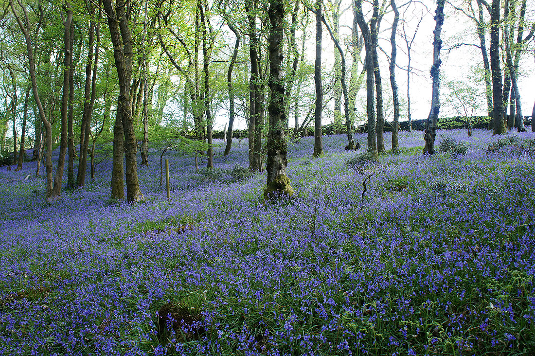
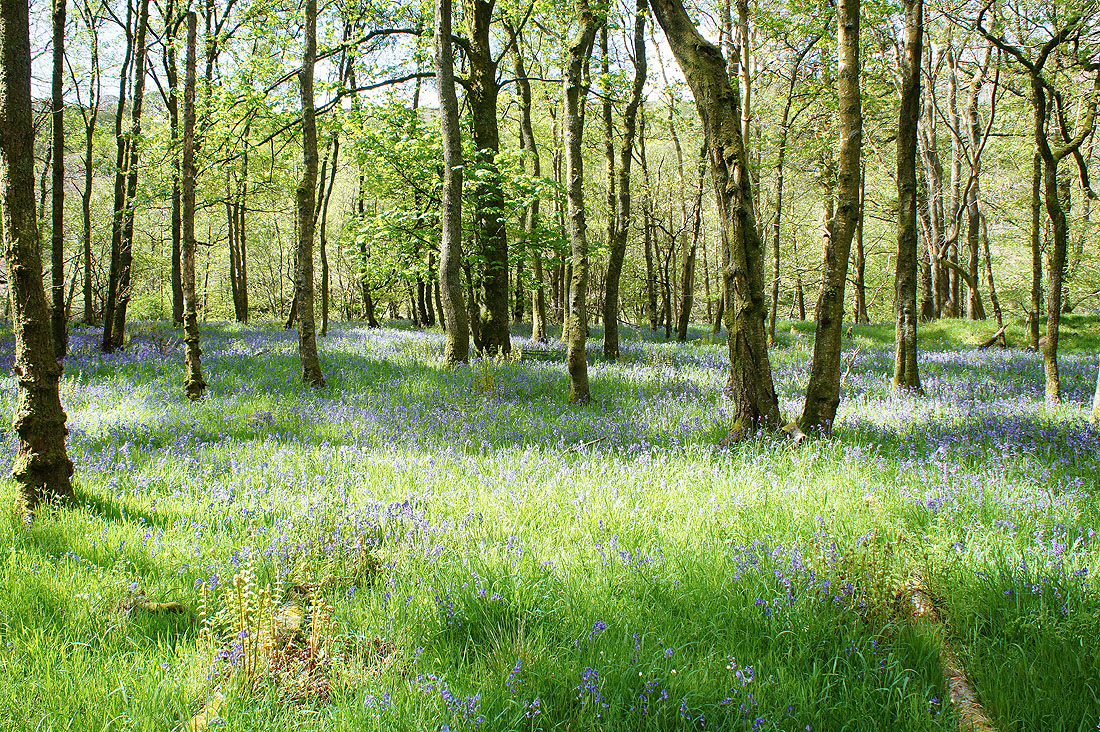
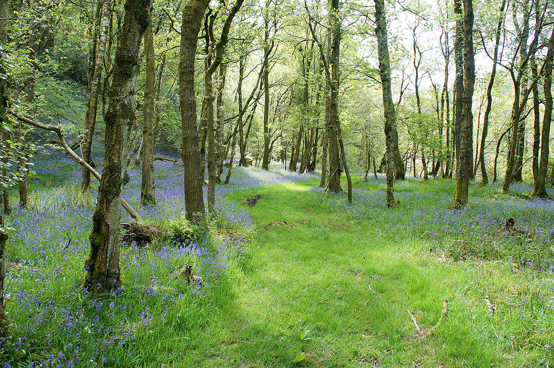
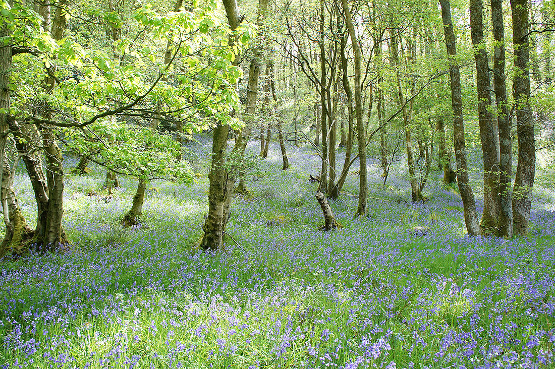
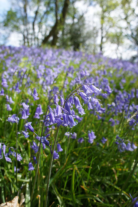
Bluebells on display as soon as I enter Outhwaite Wood. These photos were taken from a path at the top of the wood marked by yellow ribbons. I didn't know it at the time but I could have followed it. However, I stuck to the route I had planned.
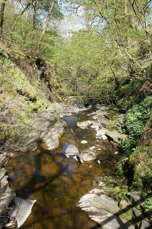
Briefly by the River Roeburn
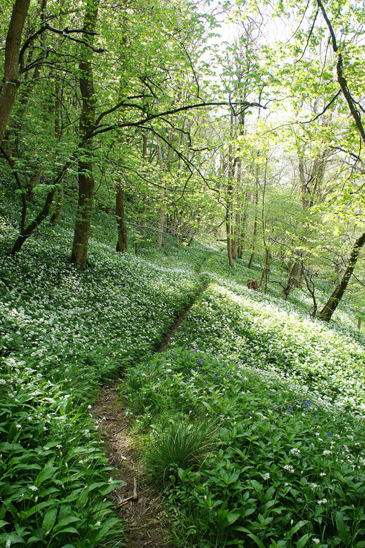
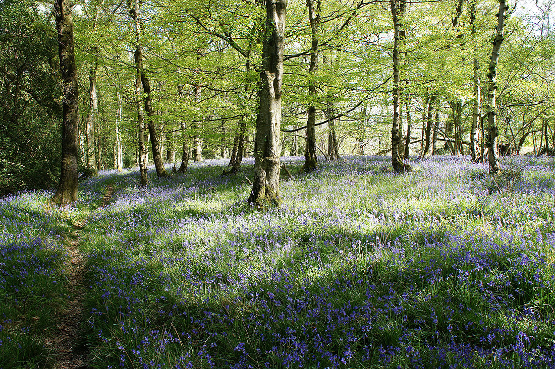
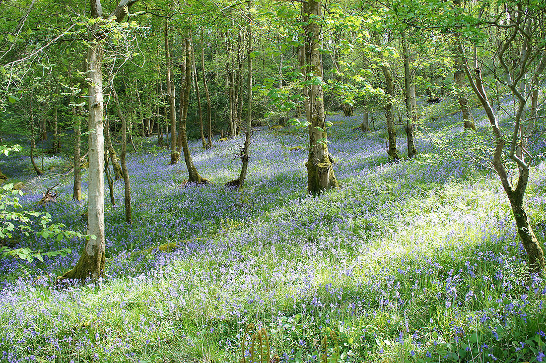
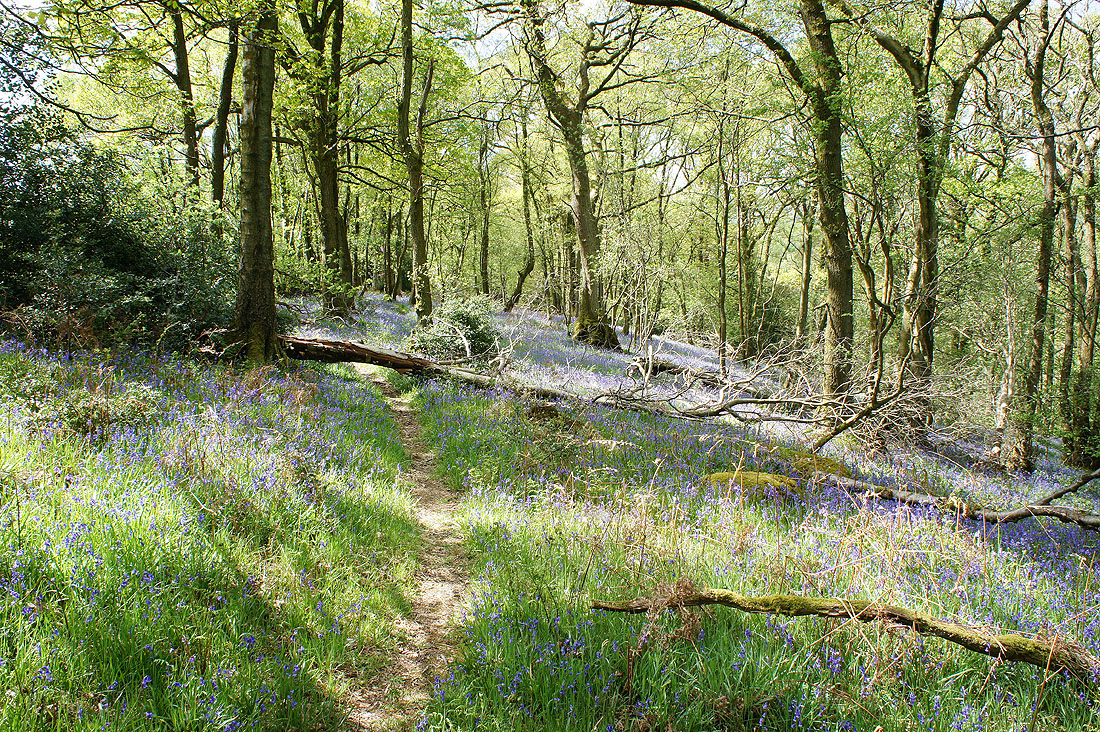
The path then kept to the base of the woodland, first through carpets of wild garlic, then through fine displays of bluebells....
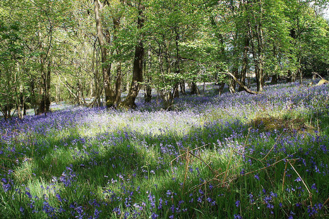
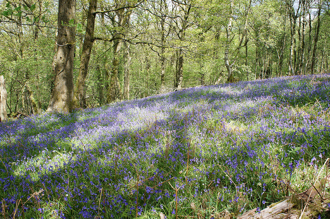
After a while the path made its way to the top of the wood (the yellow ribbons were encountered again)....
I then emerged from the woods to follow a line of flags downhill across a field with a nice view over the valley
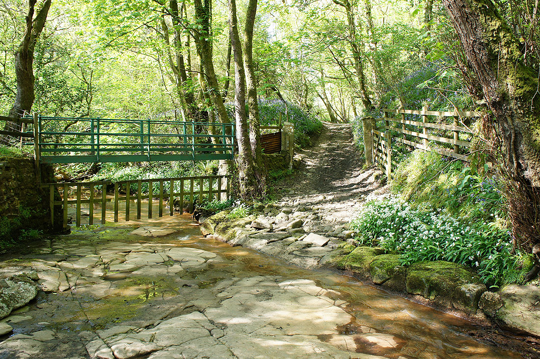
Down by the River Roeburn

and across it via a footbridge
As I follow a track uphill on the western side of the valley there's a great view north down Roeburndale
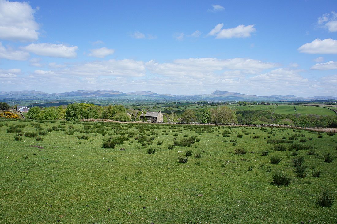
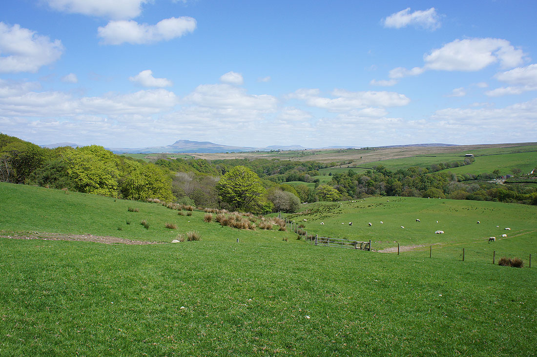
Looking back as I gain height and I can now see over the top of the valley to Whernside, Ingleborough and Penyghent
The trail brought me to the road on the western side of Roeburndale just south of Back Farm. It means that I've got a longer walk south up the valley than I had planned.
I really liked this view to Ingleborough and Penyghent as I walked down the road to Barkin Bridge
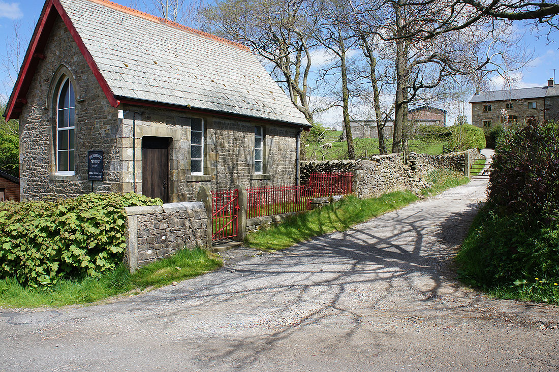
The methodist chapel at Lower Salter
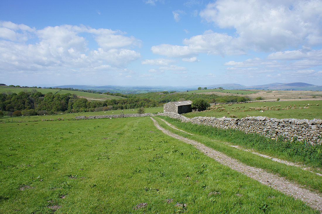
Looking back as I walk up the byway to Haylot Farm
Mallowdale Farm and Mallowdale Pike from Haylot Farm
|
|
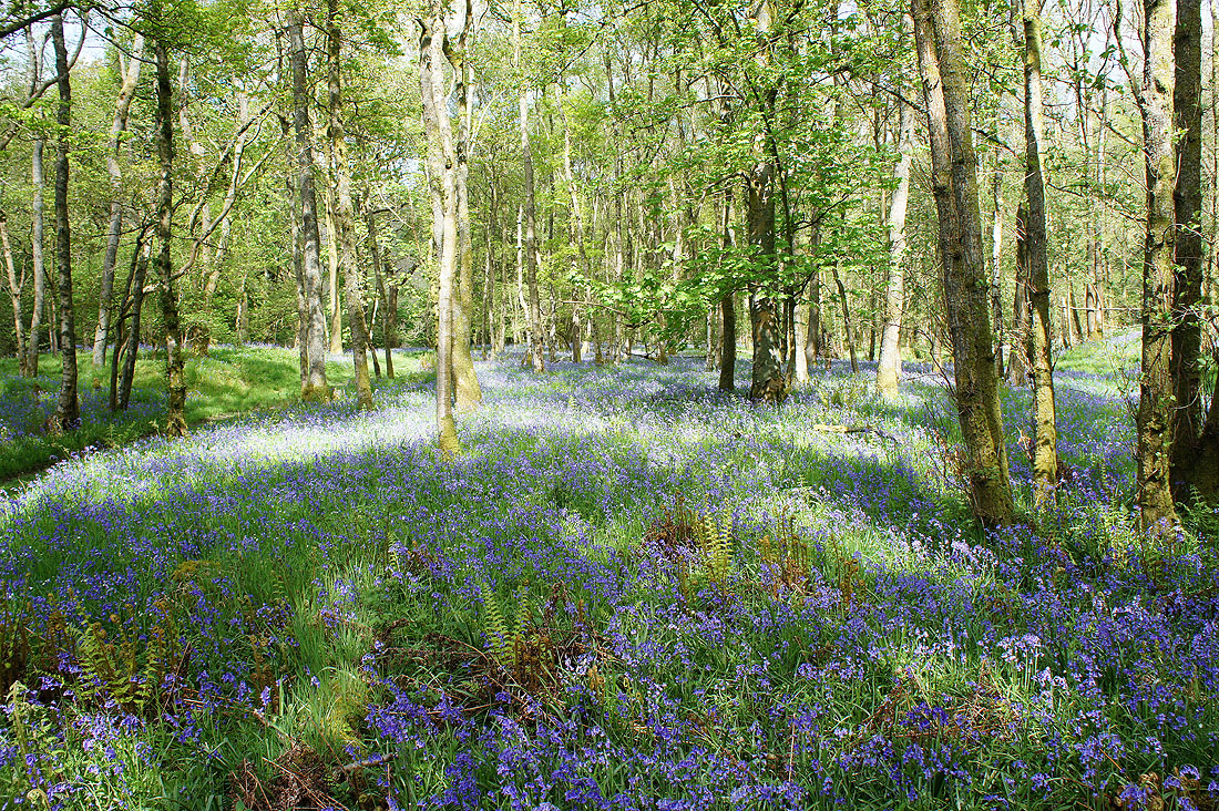
Bluebells in Melling Wood and across Mallow Gill
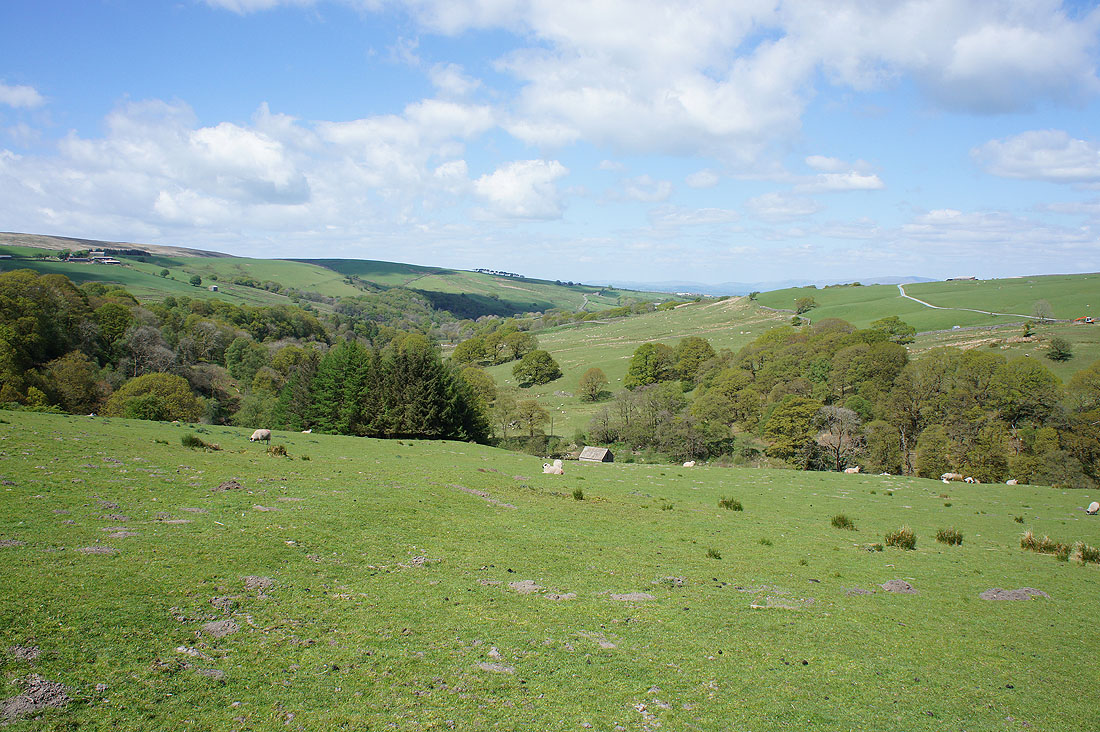
Looking down Roeburndale from Mallowdale Farm
and back across the River Roeburn at Mallowdale Bridge
The wooded Pedder Gill as I approach Harterbeck Farm
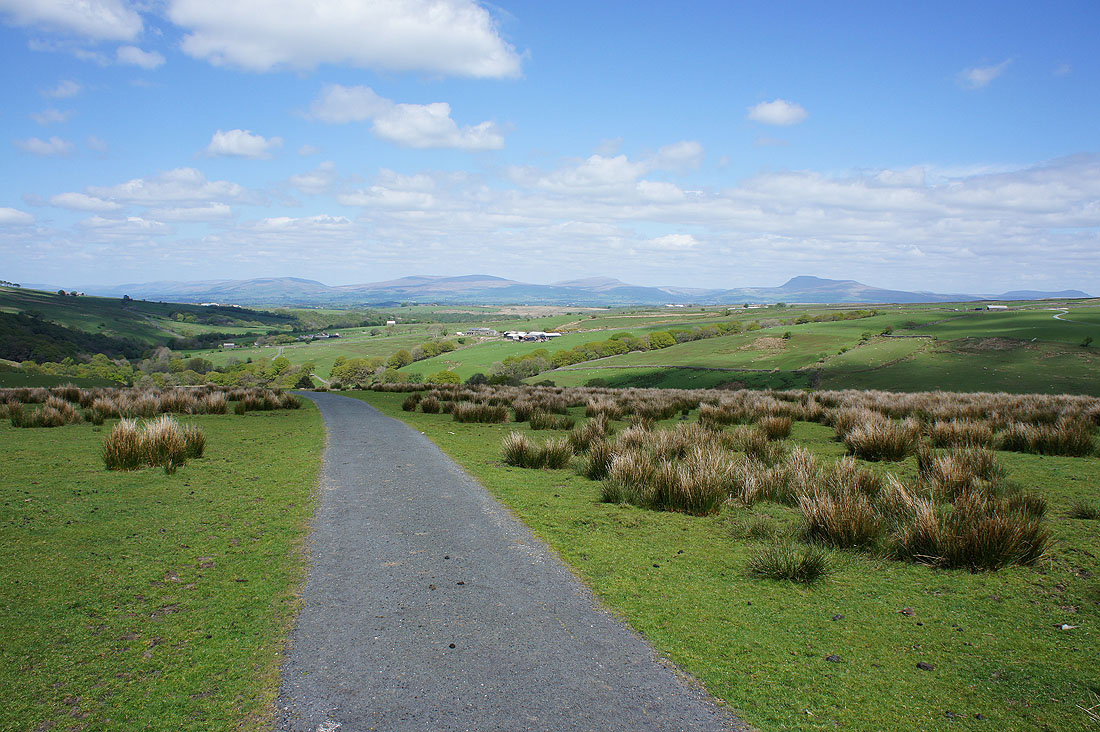
Big views to the northeast to Ingleborough
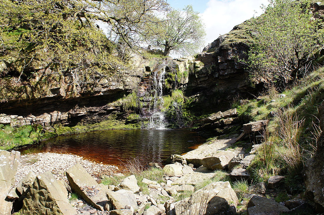
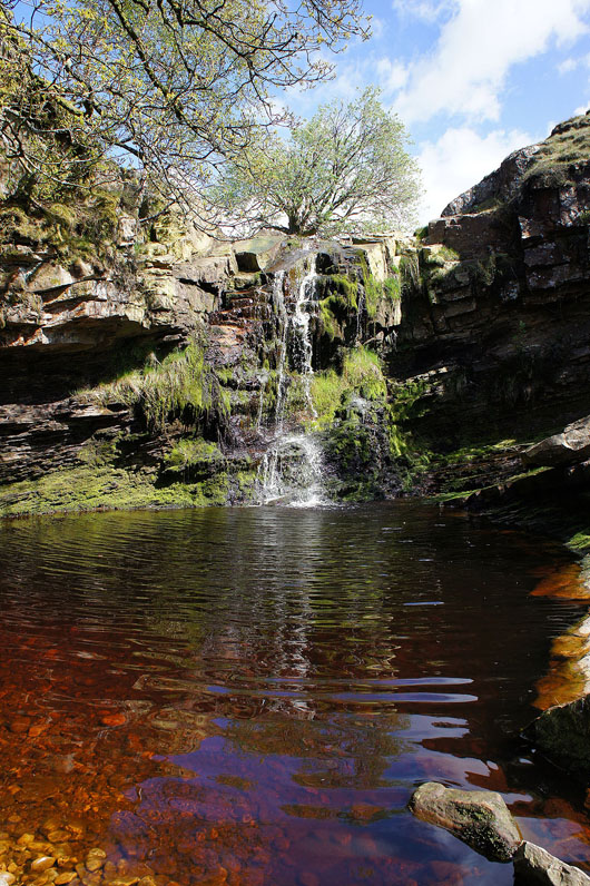
Before reaching Harterbeck Farm I made a short detour to see this waterfall on Goodber Beck that's marked on the map. It took a bit of effort but was worth it.
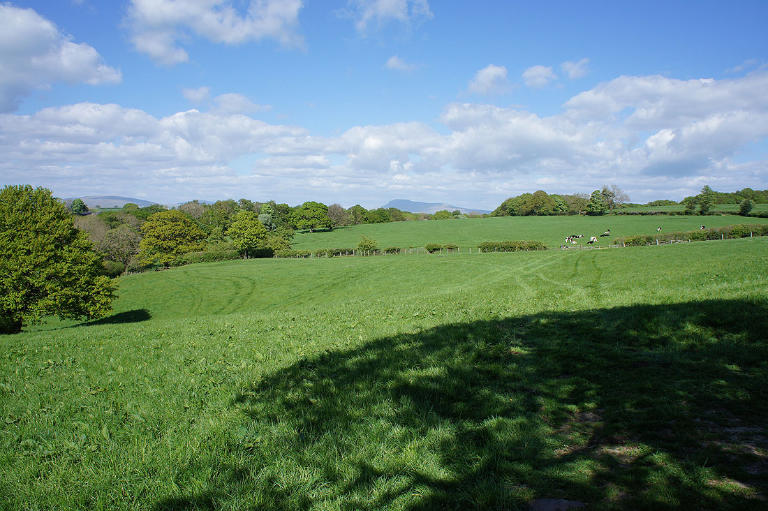
Past Harterbeck Farm and there's a great view to the north
Looking back to the head of Roeburndale
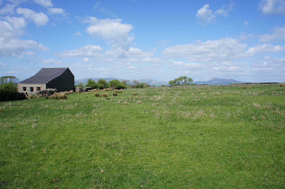
A field barn and Ingleborough from a field north of Outhwaite
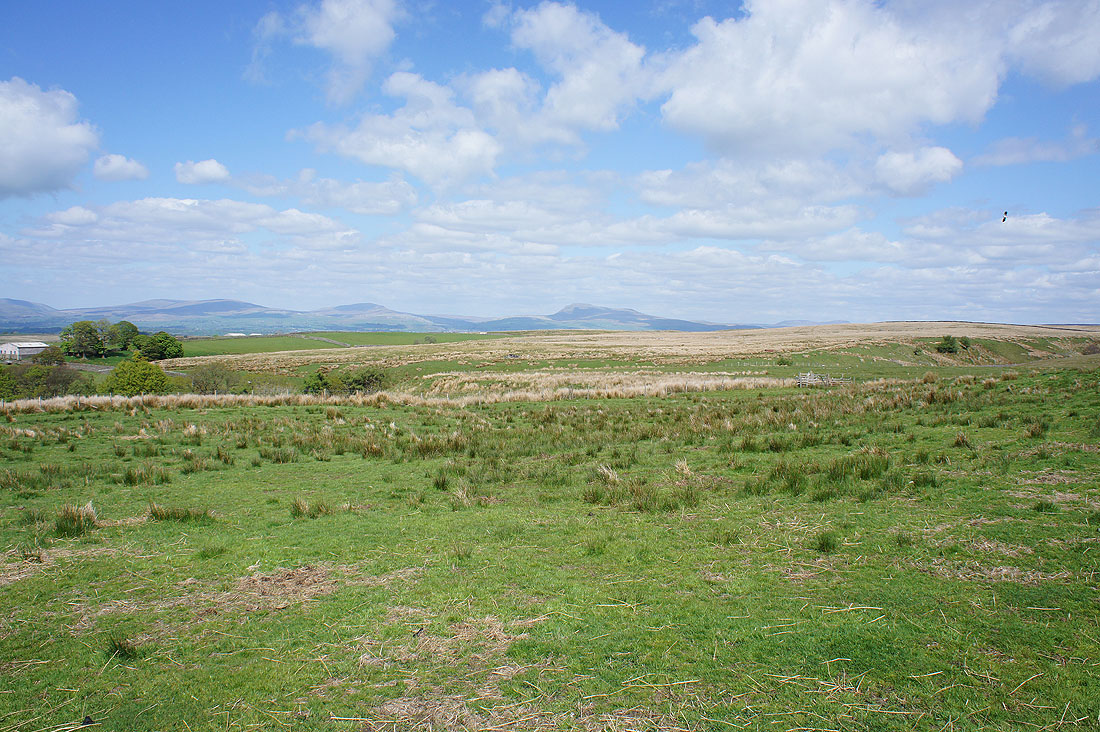
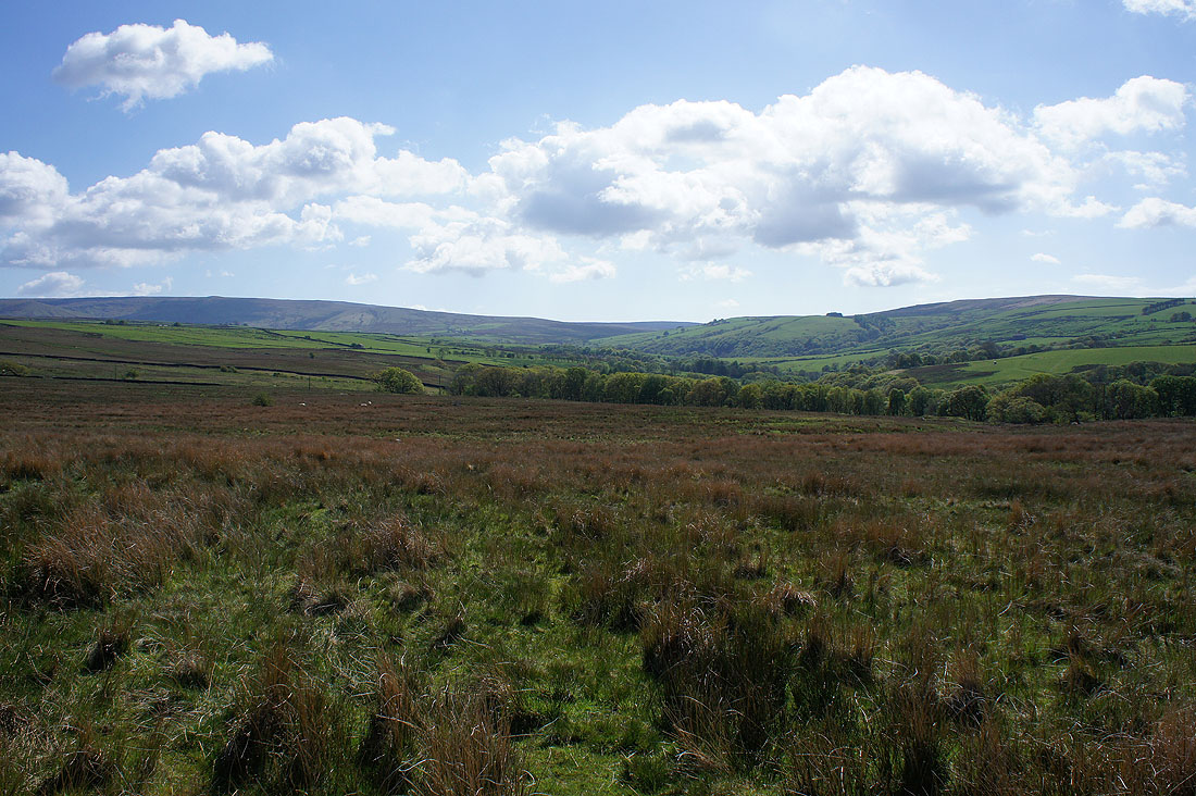
Big views to the north over Lunesdale from the last field before I reach the road on the eastern side of Roeburndale
Back across the ford over Hunt's Gill Beck
A last chance to see Ingleborough as I walk down the road to Wray
The River Roeburn as I cross Wray Bridge again
After following the riverside path from Wray Bridge I'm back where I started and it's just as nice as when I set off this morning
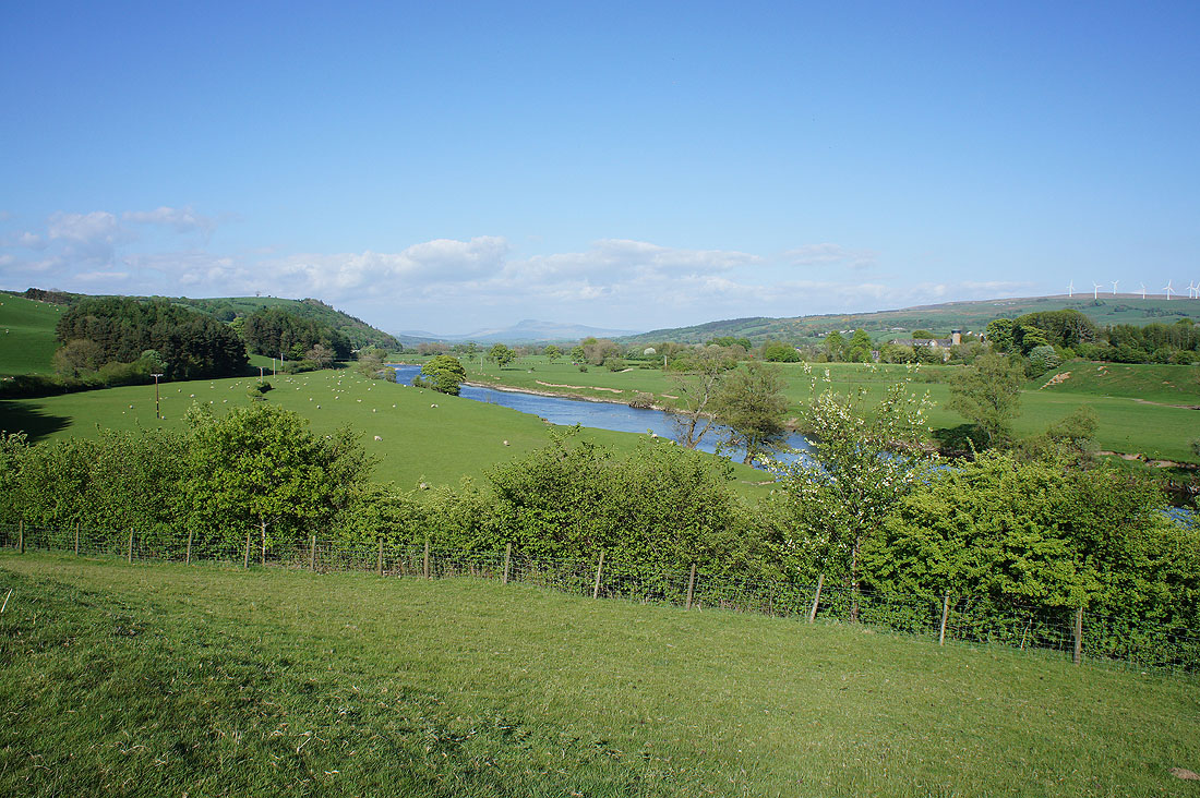
On the way home and as I was passing the Crook o' Lune I had to stop and take in the view. It was a lovely end to the afternoon.