14th October 2016 - Hebden Dale
Walk Details
Distance walked: 12.0 miles
Total ascent: 1842 ft
OS map used: OL21 - South Pennines
Time taken: 6 hrs
Route description: NT car park, Hardcastle Crags-Gibson Mill-Hebden Dale-Widdop Gate-Gorple Lower Reservoir-Gorple Upper Reservoir-Gorple Gate-Cludders Slack-Widdop Reservoir-Widdop Road-Calder/Aire Link-Walshaw-Shackleton-Hollin Hall-NT car park, Hardcastle Crags
After booking today and Monday off work I've got a long weekend to enjoy. So, I decided to head out this afternoon and do a walk from Hardcastle Crags in nearby Calderdale. It's an area that I've not been to that much lately, the flooding of last December didn't help but mainly I need to spend some time looking at the map and working out some new routes. I just don't like repeating myself and doing the same walk too often. With hindsight I didn't pick the best days weather wise. It was a bit cool and grey with an easterly breeze today, a little sunshine and every so often a brief shower passed through. The sun being out while I was at Widdop Reservoir was a bonus and it really showed off the autumn colours of the moors.
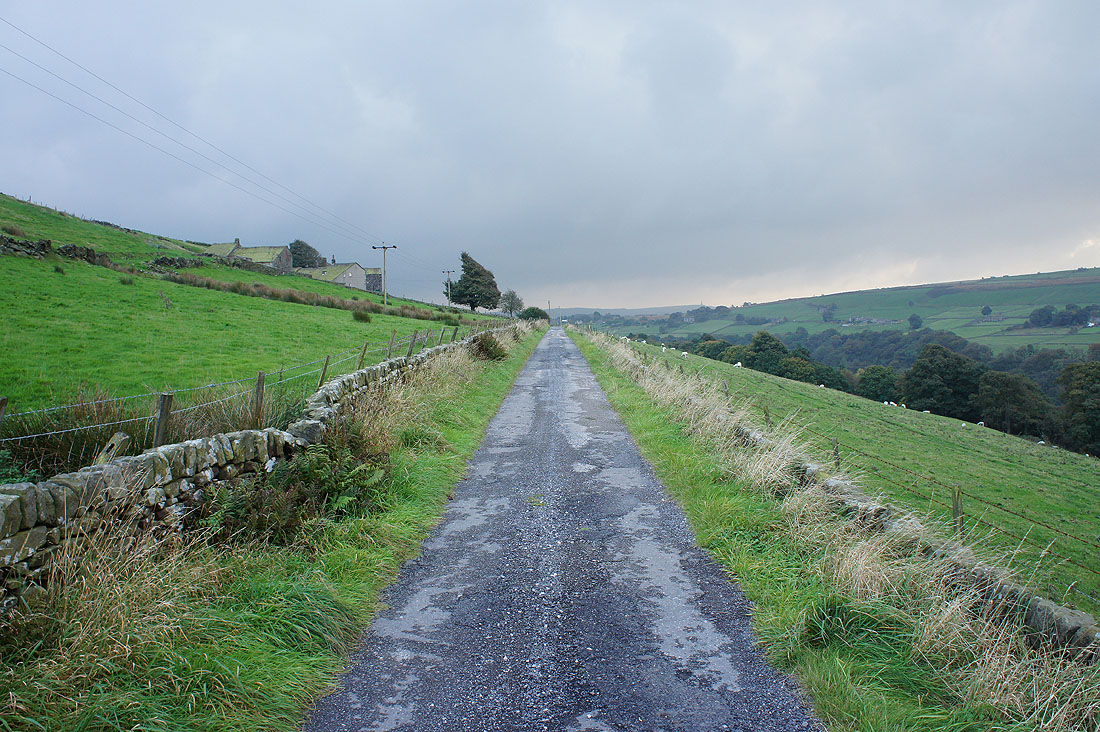
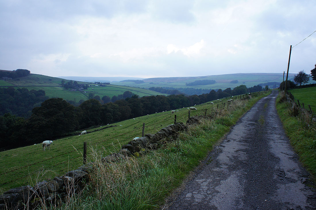
From the National Trust car park for Hardcastle Crags I set off by taking the track to Gibson Mill. When I had the choice I took the lower path closer to Hebden Water. After having lunch at Gibson Mill I crossed the bridge over Hebden Water, turned right and followed the path north by Hebden Water. At a path junction I took the one that made its way up through the woodland to eventually arrive at Widdop Gate on the Widdop Road. I crossed the road and followed the track to Gorple Lower Reservoir, over its dam and on to Gorple Upper Reservoir, where I then took the path from the dam up through gritstone outcrops to the track of Gorple Gate. I then followed this track east and down to Widdop Reservoir. Just before the dam I decided to make my way up to the top of the gritstone outcrops of Cludders Slack. I could see that the sun was going to come out so I thought it would be worth the effort. Once back down I crossed the dam out to the Widdop Road and walked down it to Clough Foot where I took the bridleway of the Calder/Aire Link. This took me down to and across Alcomden Water, then east across the hillside above Hebden Water to the hamlet of Walshaw, where another bridleway was taken to the hamlet of Shackleton. From here the track made its way down through woodland, past the Hollin Hall National Trust estate office back to the car park.
Total ascent: 1842 ft
OS map used: OL21 - South Pennines
Time taken: 6 hrs
Route description: NT car park, Hardcastle Crags-Gibson Mill-Hebden Dale-Widdop Gate-Gorple Lower Reservoir-Gorple Upper Reservoir-Gorple Gate-Cludders Slack-Widdop Reservoir-Widdop Road-Calder/Aire Link-Walshaw-Shackleton-Hollin Hall-NT car park, Hardcastle Crags
After booking today and Monday off work I've got a long weekend to enjoy. So, I decided to head out this afternoon and do a walk from Hardcastle Crags in nearby Calderdale. It's an area that I've not been to that much lately, the flooding of last December didn't help but mainly I need to spend some time looking at the map and working out some new routes. I just don't like repeating myself and doing the same walk too often. With hindsight I didn't pick the best days weather wise. It was a bit cool and grey with an easterly breeze today, a little sunshine and every so often a brief shower passed through. The sun being out while I was at Widdop Reservoir was a bonus and it really showed off the autumn colours of the moors.
From the National Trust car park for Hardcastle Crags I set off by taking the track to Gibson Mill. When I had the choice I took the lower path closer to Hebden Water. After having lunch at Gibson Mill I crossed the bridge over Hebden Water, turned right and followed the path north by Hebden Water. At a path junction I took the one that made its way up through the woodland to eventually arrive at Widdop Gate on the Widdop Road. I crossed the road and followed the track to Gorple Lower Reservoir, over its dam and on to Gorple Upper Reservoir, where I then took the path from the dam up through gritstone outcrops to the track of Gorple Gate. I then followed this track east and down to Widdop Reservoir. Just before the dam I decided to make my way up to the top of the gritstone outcrops of Cludders Slack. I could see that the sun was going to come out so I thought it would be worth the effort. Once back down I crossed the dam out to the Widdop Road and walked down it to Clough Foot where I took the bridleway of the Calder/Aire Link. This took me down to and across Alcomden Water, then east across the hillside above Hebden Water to the hamlet of Walshaw, where another bridleway was taken to the hamlet of Shackleton. From here the track made its way down through woodland, past the Hollin Hall National Trust estate office back to the car park.
Route map
© Crown copyright. All rights reserved. License number PU 100034184.
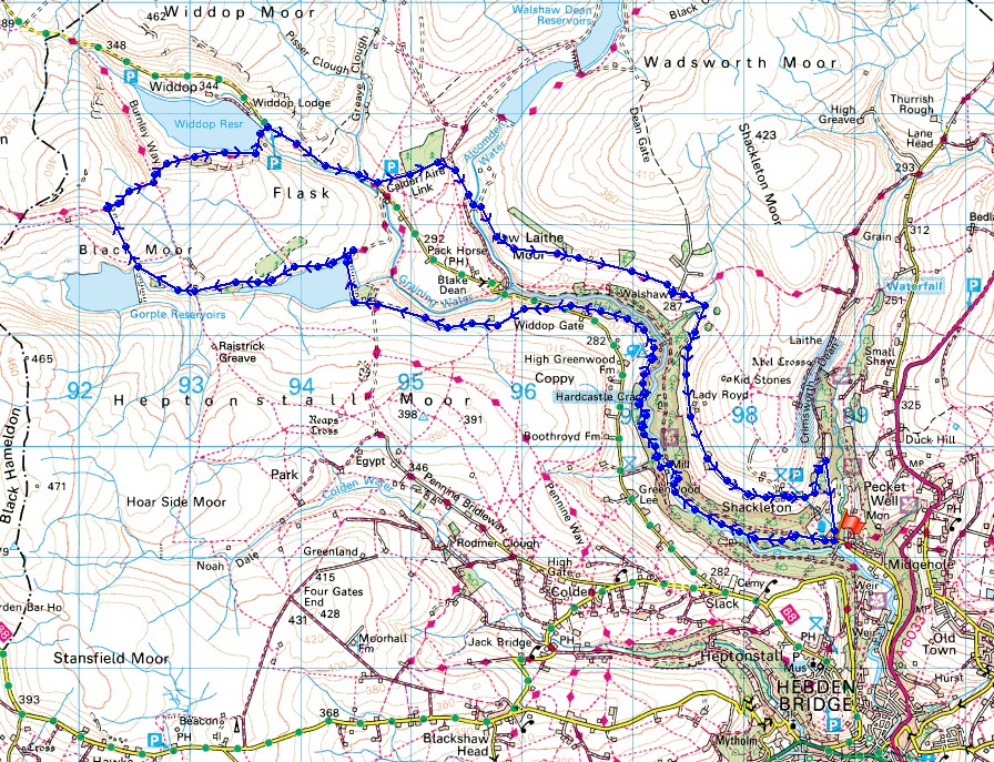
Stepping stones across Hebden Water..
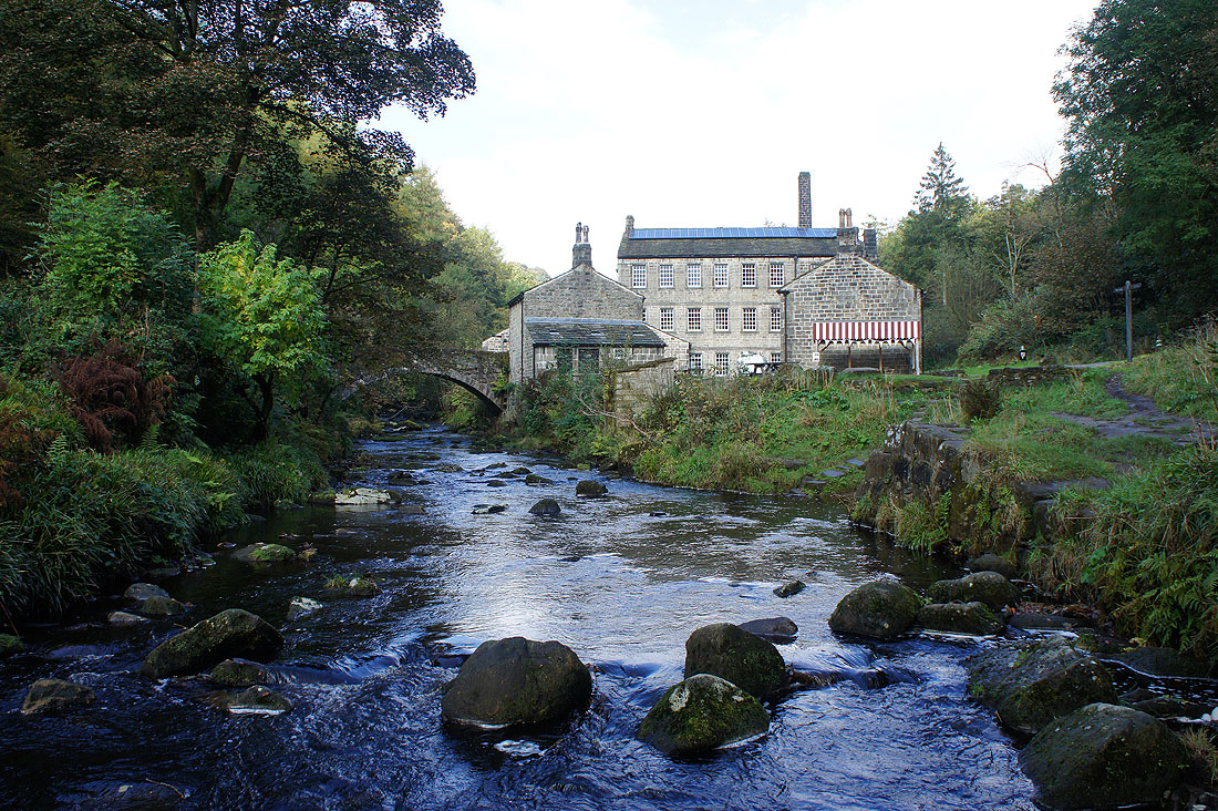
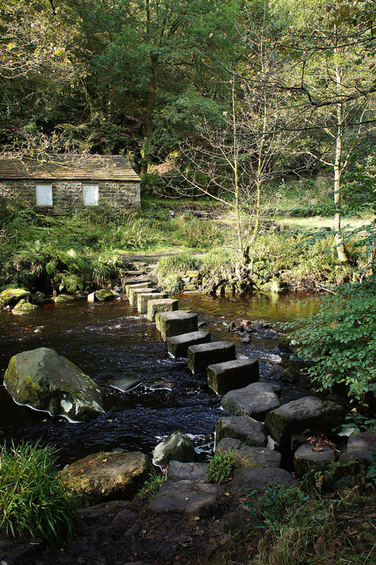
..as I reach Gibson Mill at Hardcastle Crags
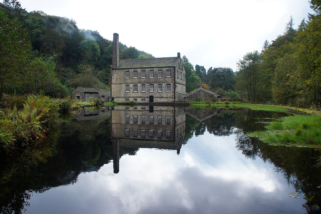
After having my lunch at Gibson Mill, on with the walk. Firstly, by following a path by Hebden Water..
|
|
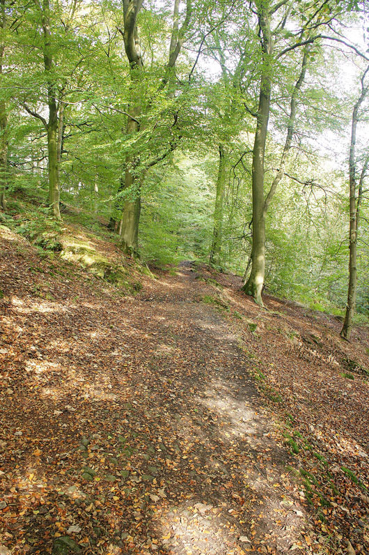
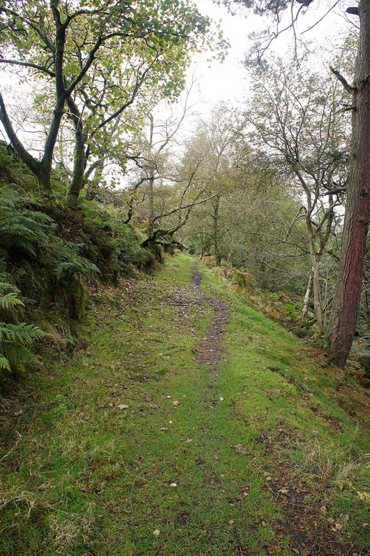
..then on one that gradually heads uphill through woodland..
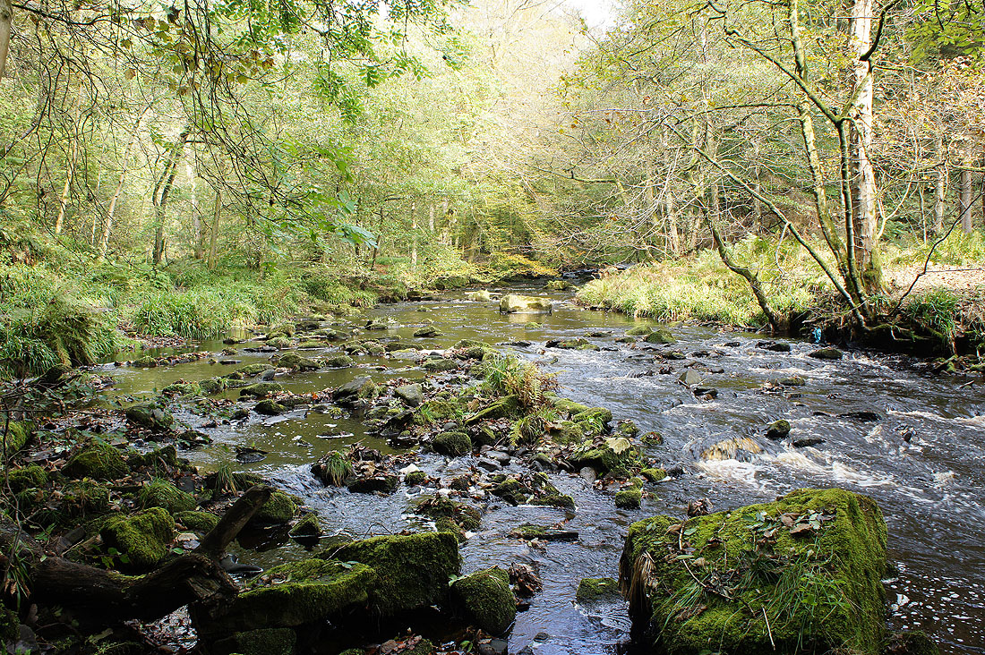
..to Black Dean, the top of Hebden Dale
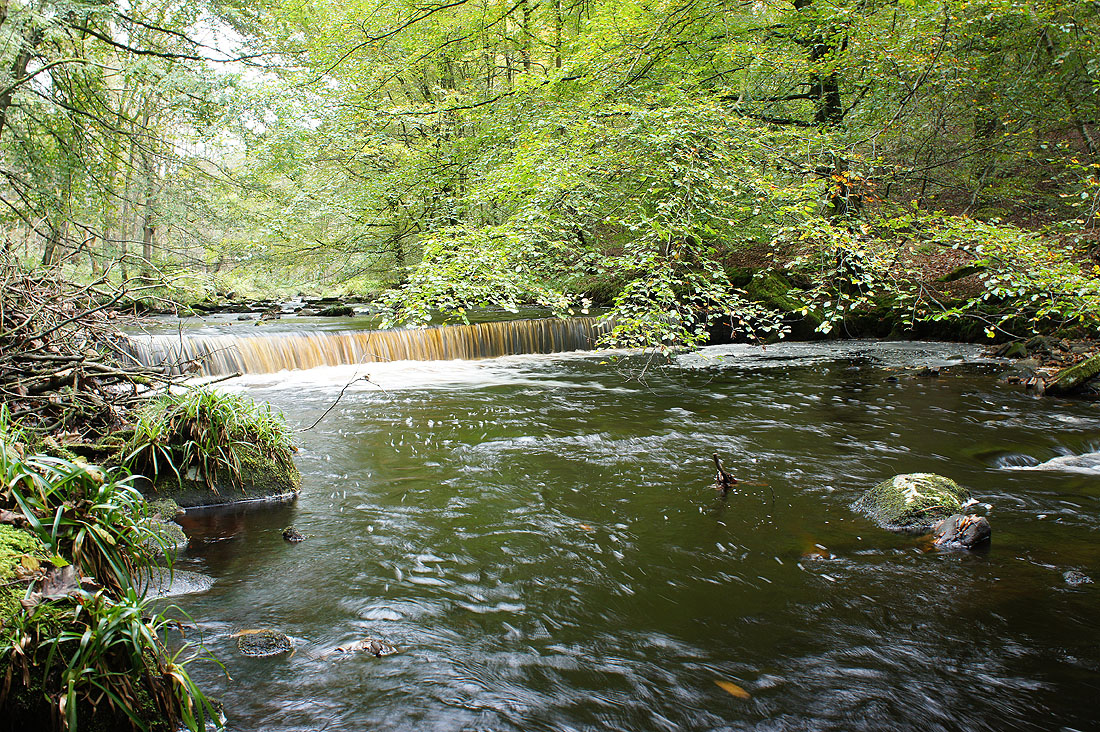
Graining Water and Alcomden Water join to form Hebden Water
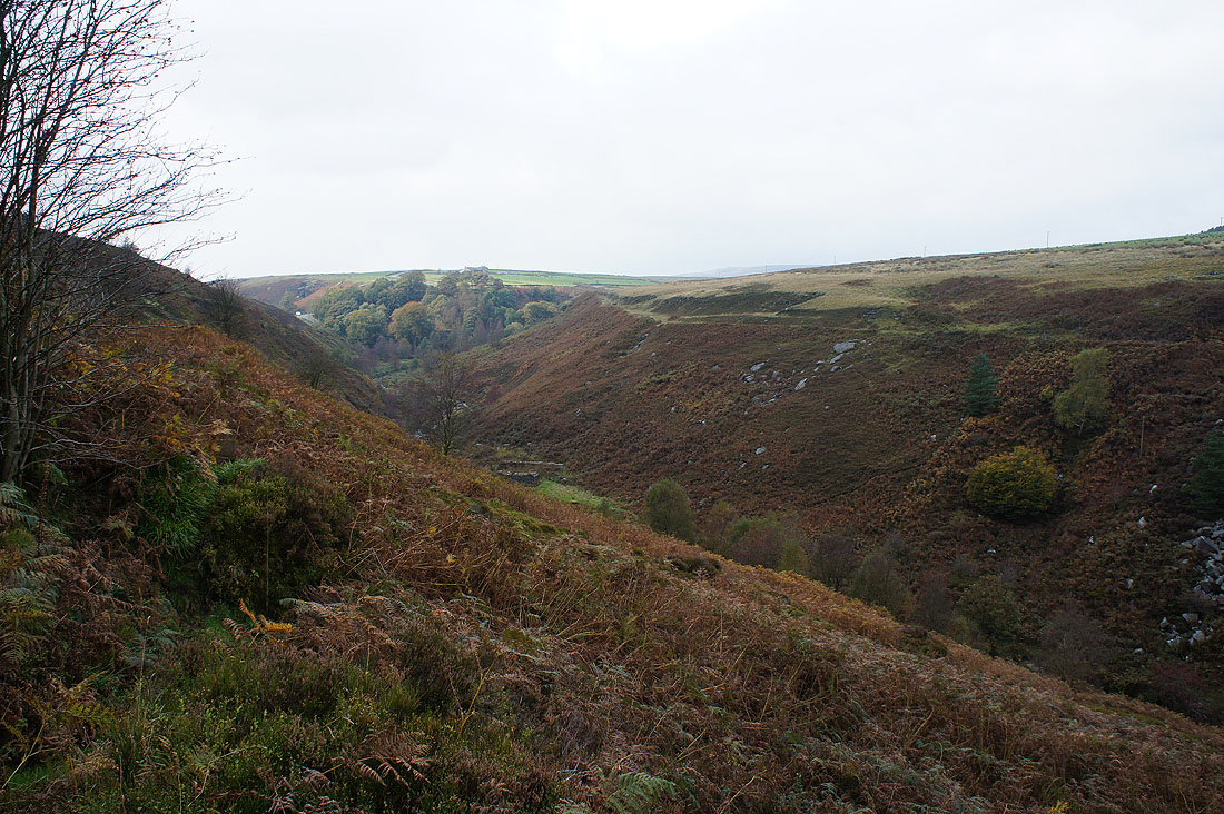
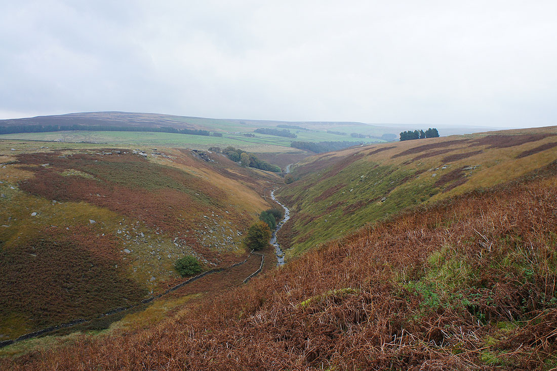
The valley of Graining Water as I follow the track to Gorple Lower Reservoir. It may be grey and dull but this is still a colourful bit of countryside.
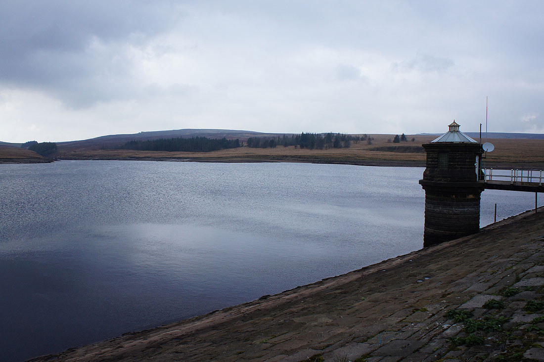
Gorple Lower Reservoir
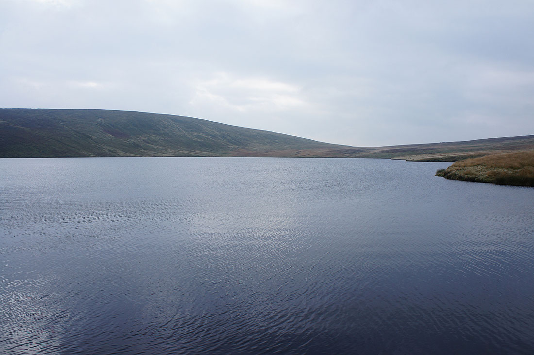
and Gorple Upper Reservoir
Gorple Lower Reservoir behind the gritstone outcrops of Dicken Rocks as I head up to the track of Gorple Gate
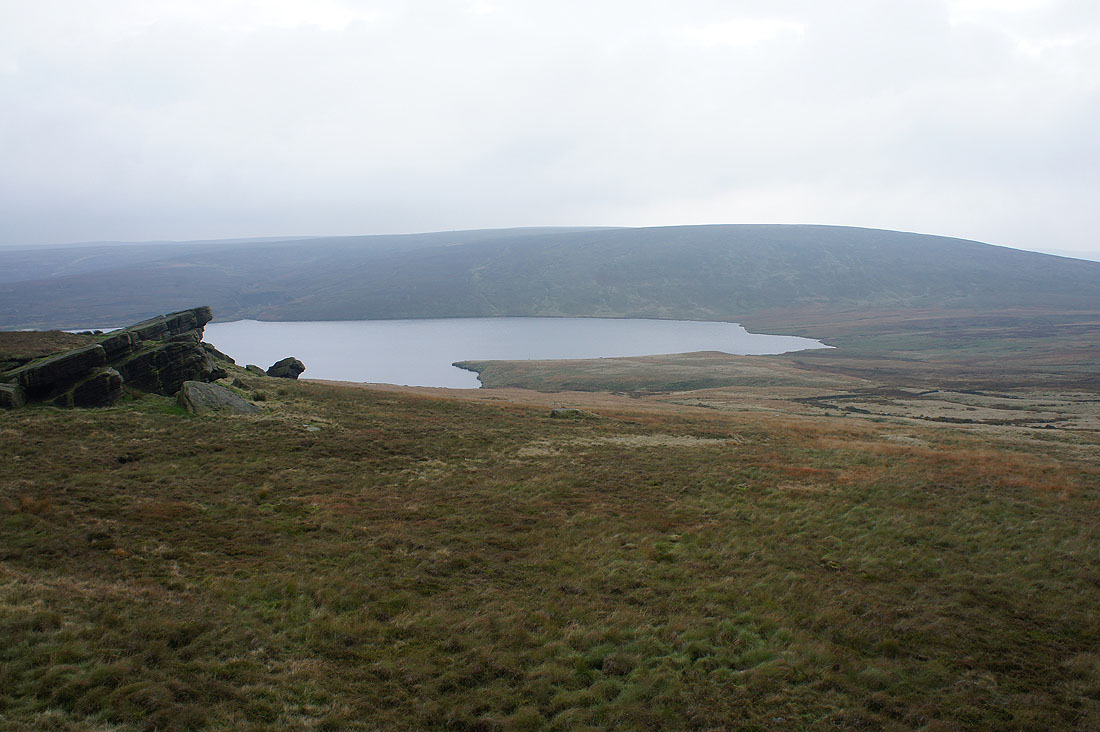
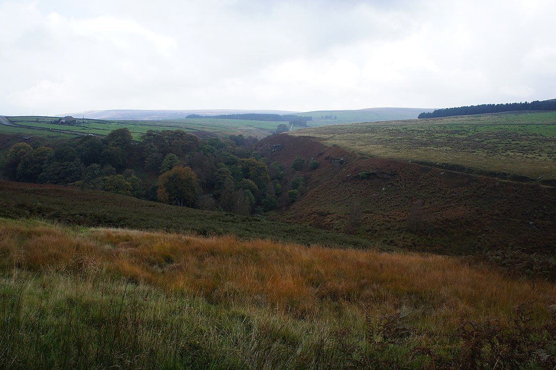
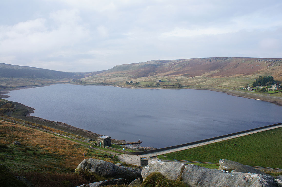
Gorple Upper Reservoir and the hill of Hoof Stones Height
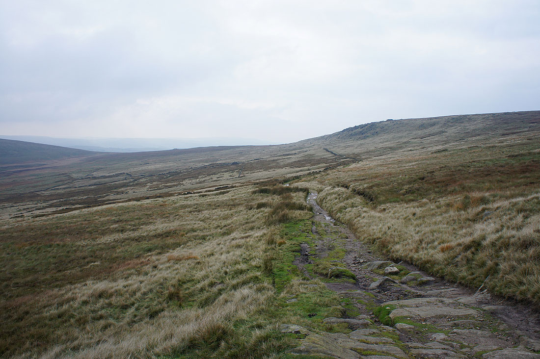
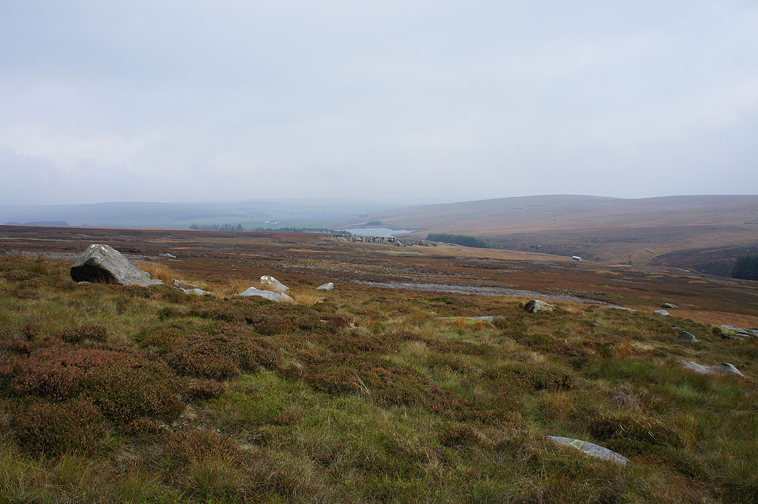
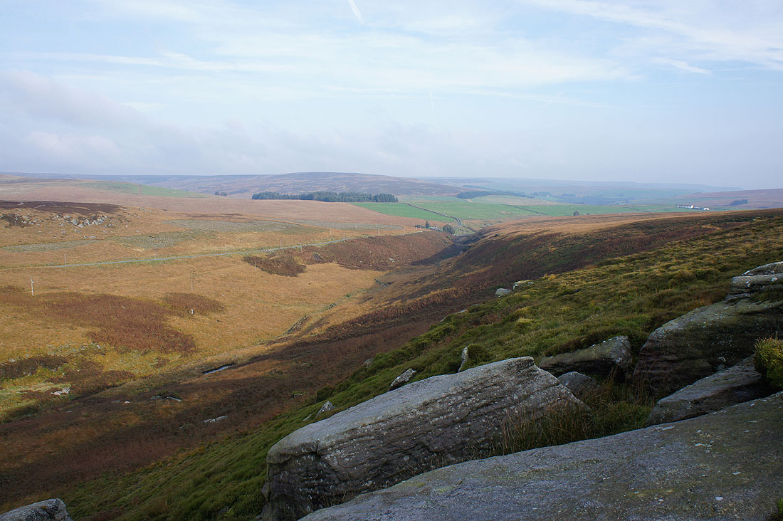
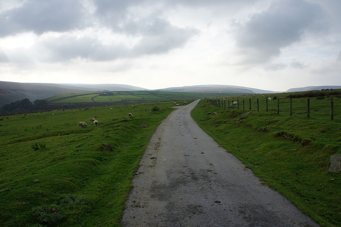
The track of Gorple Gate, a former packhorse trail. In this direction it heads for Burnley.
I went the other way though, down to Widdop Reservoir
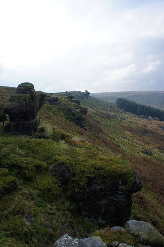
The gritstone outcrops of Cludders Slack. There were a couple of guys doing some climbing on one of the boulders on the hillside below.
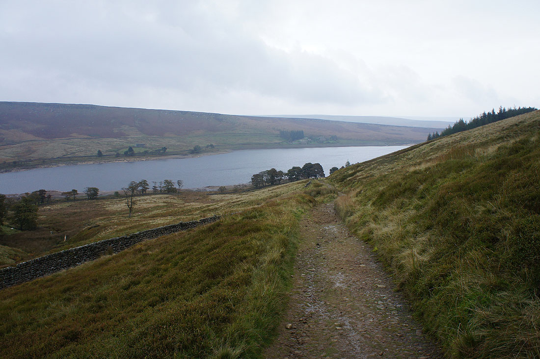
The sun coming out made the effort of getting up here to take this shot of Widdop Reservoir worthwhile
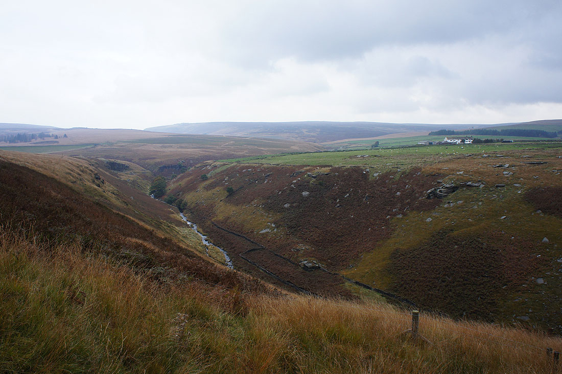
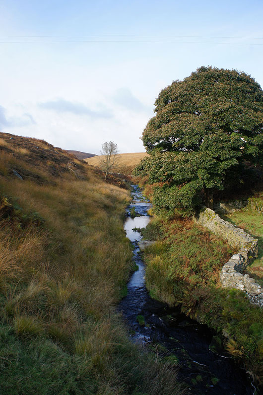
Graining Water flows downstream from Widdop Reservoir
A colourful scene as I cross the bridge over Greave Clough
Walshaw Dean as I follow the bridleway down to cross Alcomden Water
Looking back as I reach New Laithe Farm
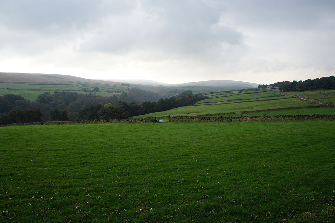
Onwards towards Walshaw with Hebden Dale to my right
Hebden Dale as I reach..
..the hillside hamlet of Walshaw
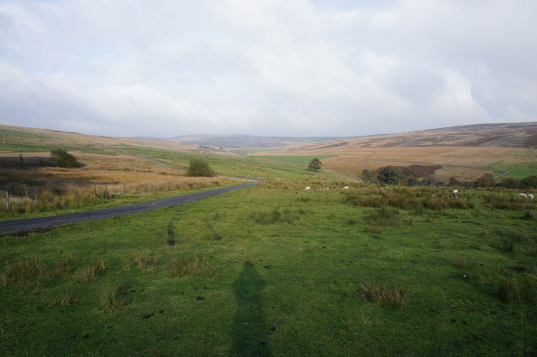
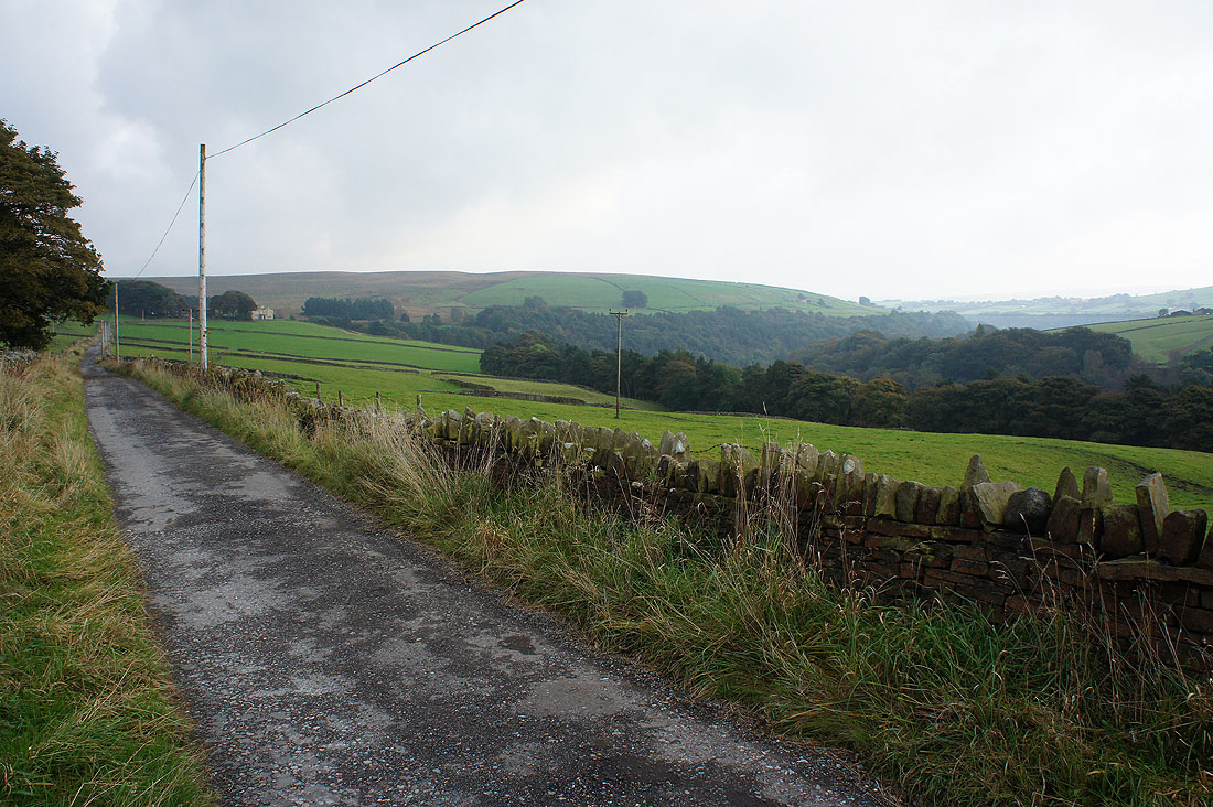
Continuing south along the bridleway past Lady Royd Farm. It looks like it's going to rain.
Looking back up Hebden Dale and it has started to rain
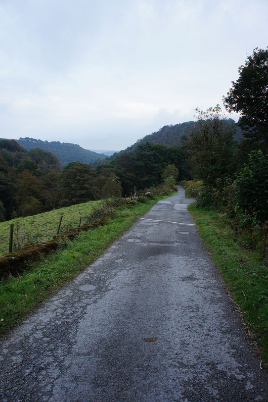
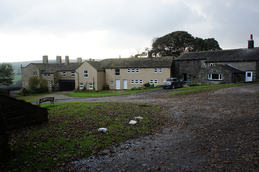
The final descent from the National Trust estate office at Hollin Hall back to the car park