14th October 2018 - Pendle Hill
Walk Details
Distance walked: 7.0 miles
Total ascent: 1012 ft
OS map used: OL41 - Forest of Bowland & Ribblesdale
Time taken: 3.5 hrs
Route description: Nick of Pendle-Pendleton Moor-Ogden Clough-Pendle Hill-Downham Moor-Worston Moor-Scout Cairn-Mearley Moor-Pendleton Moor-Nick of Pendle
I nearly had a weekend without going for a walk somewhere until Pendle Hill saved the day and that's not the first time that that's happened this year. It was 2 o'clock in the afternoon before I set off from the Nick of Pendle though. Yesterday's and overnight's rain was really taking its time to clear so it was a case of timing it right so that I could make the most of the remaining daylight hours, and I did just that. It took until I was about half way through the walk for the skies to clear but once they did the second half of the afternoon was glorious with more or less wall-to-wall blue skies and sunshine. Definitely worth the wait.
From my starting point at one of the laybys on the road across the Nick of Pendle I made my way up onto Pendleton Moor. I kept on the path as it made its way into Ogden Clough and followed it all the way up to the trig point and summit. I then crossed the stile onto Downham Moor, followed the path west, and crossed the stile onto Worston Moor to reach the Scout Cairn. I then walked across Mearley Moor before crossing the top of Howcroft Brook to pick up the path across Pendleton Moor back to the Nick of Pendle.
Route map
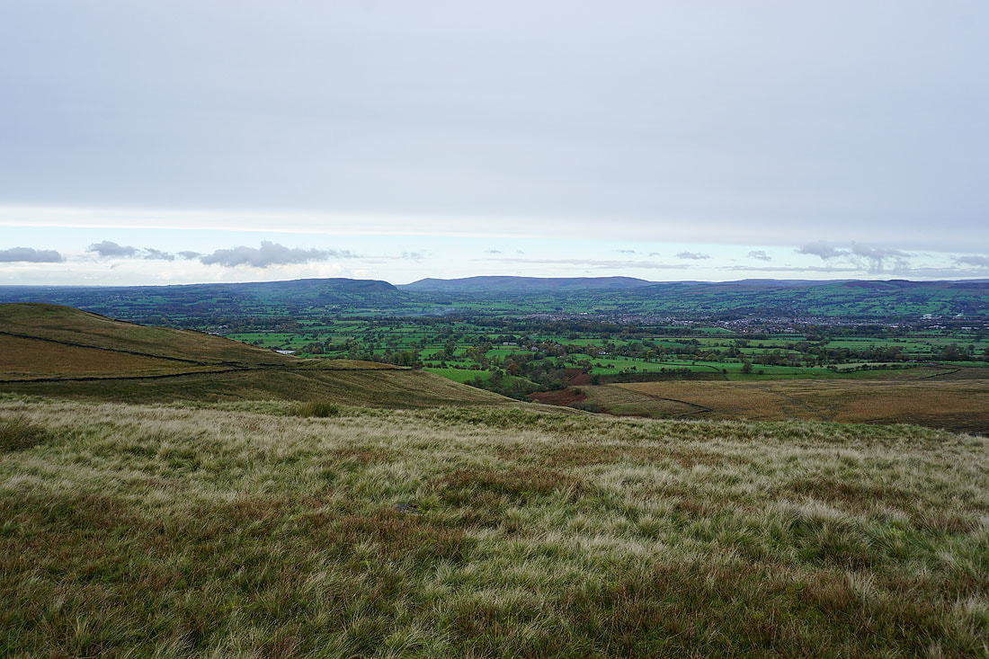
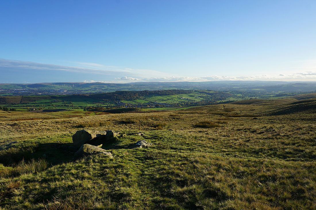
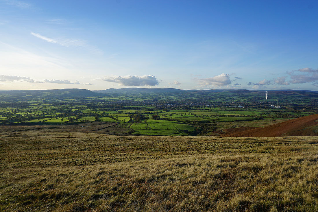
Clitheroe and the Forest of Bowland from the Nick of Pendle
Heading up onto Pendleton Moor
Brighter skies are moving in from the coast as I look back to the Nick of Pendle and across the Ribble Valley..
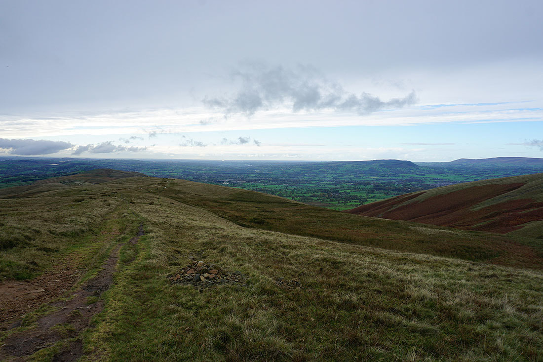
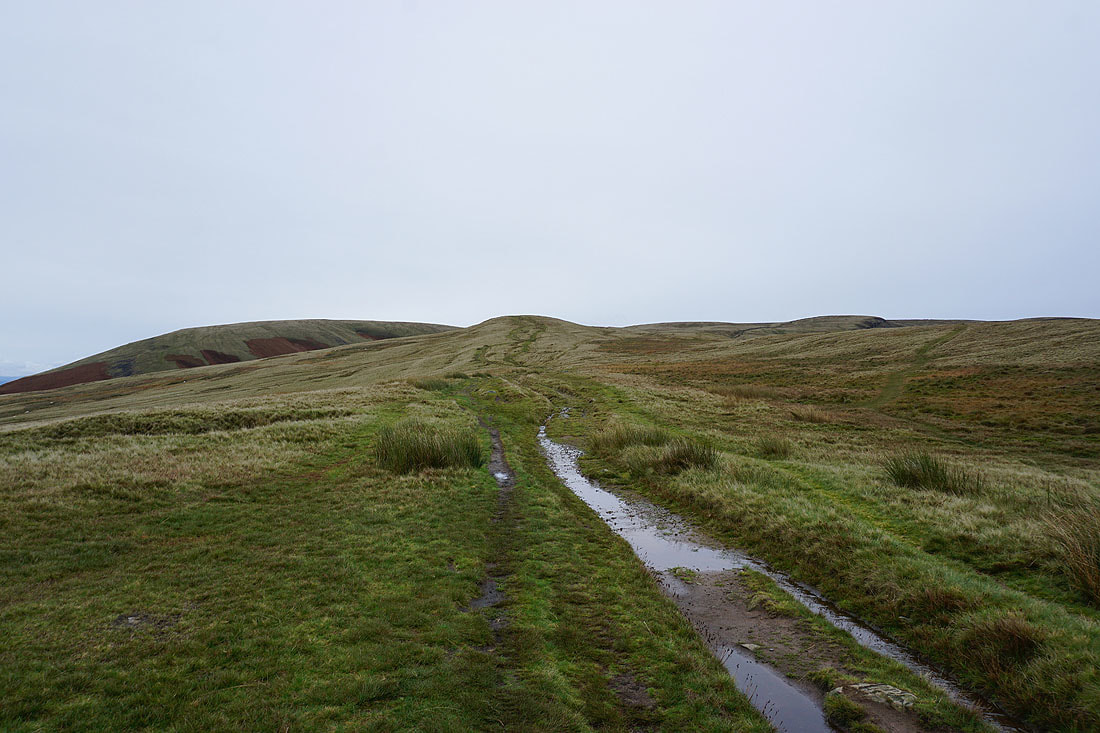
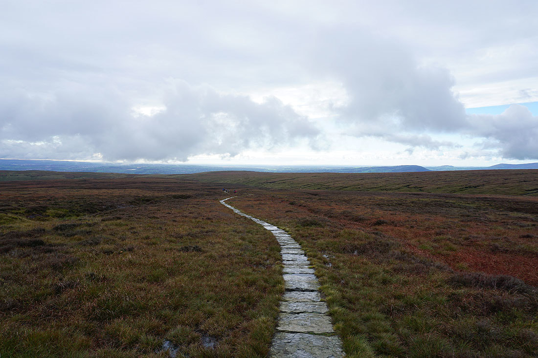
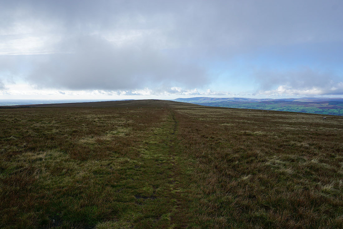
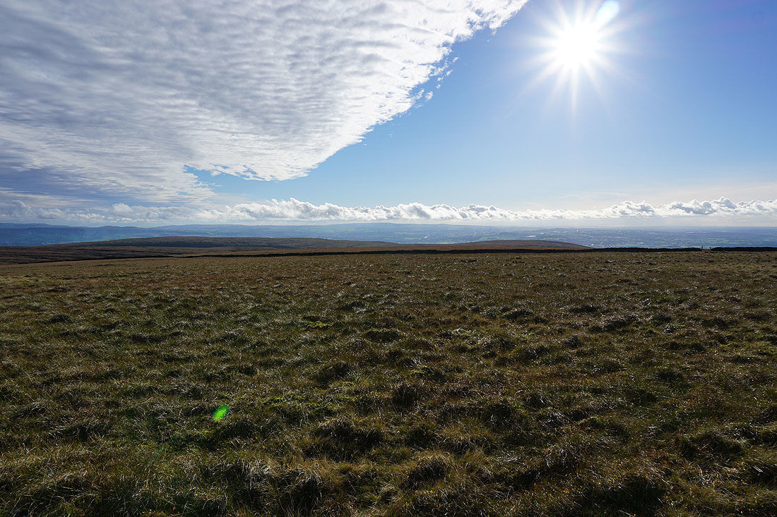
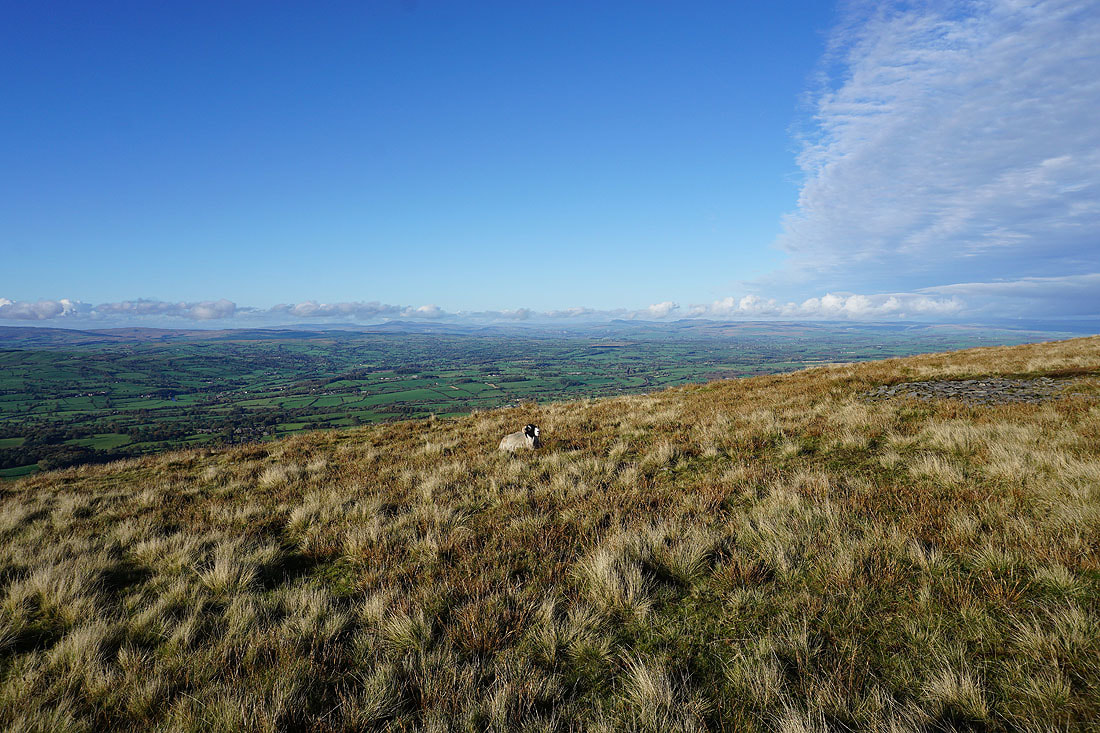
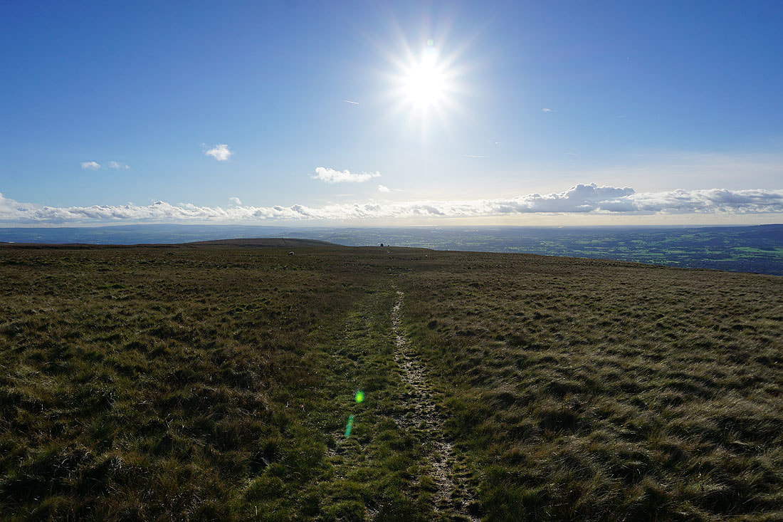
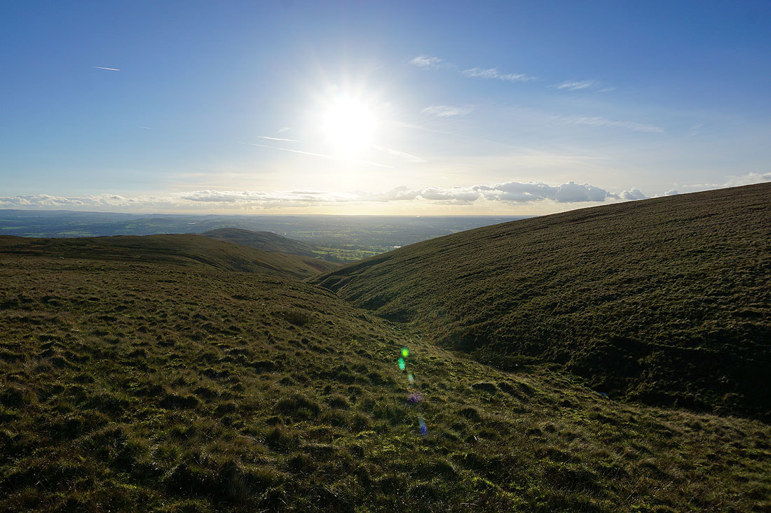
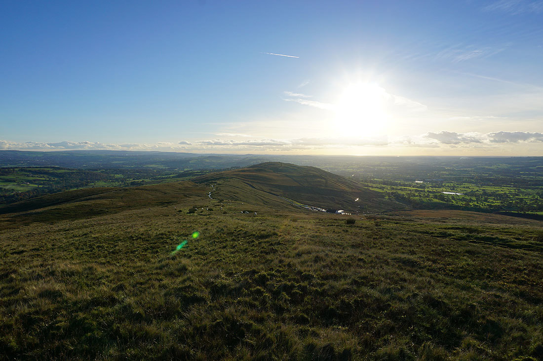
Ogden Clough and the summit of Pendle Hill ahead
|
|
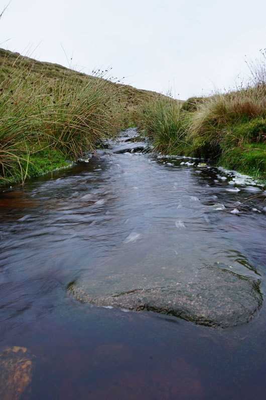
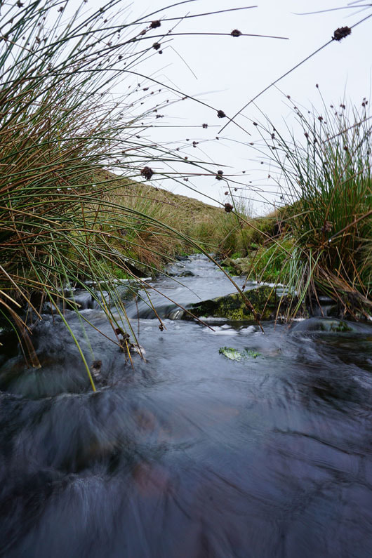
Ogden Brook..
Looking back to Ogden Clough and the Ribble Valley from the path to the summit
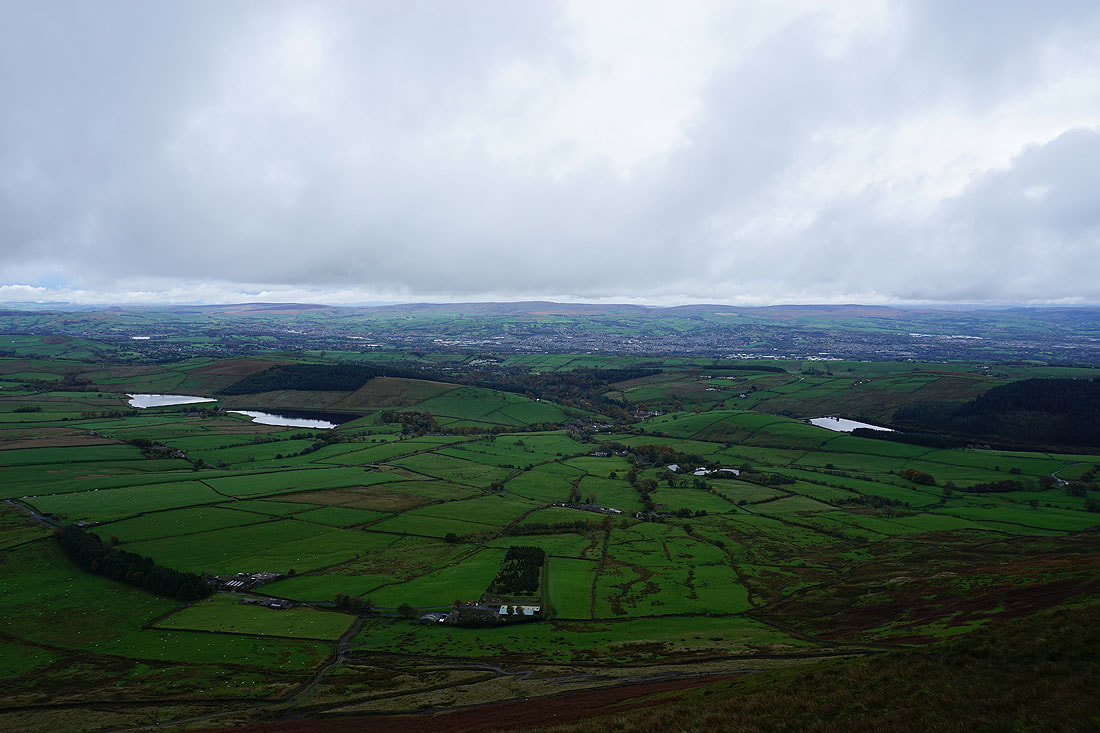
The Black Moss Reservoirs, Barley, Lower Ogden Reservoir and the South Pennines from Pendle Hill
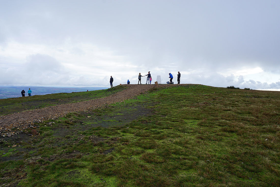
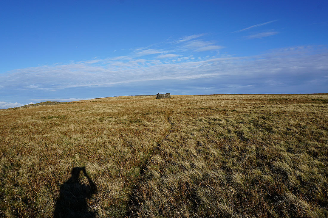
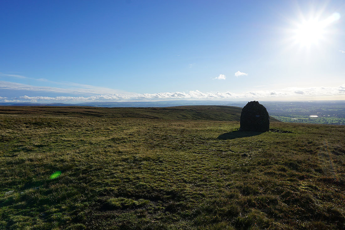
The trig point and summit
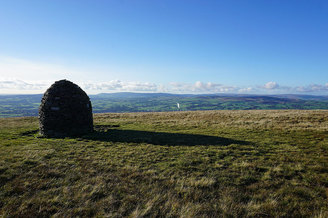
Brighter skies over the Forest of Bowland from the new summit seating
Weets Hill and Twiston Moor
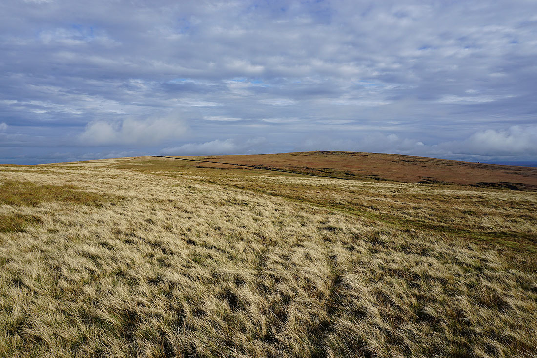
The sunny skies are almost here as I head across Downham Moor..
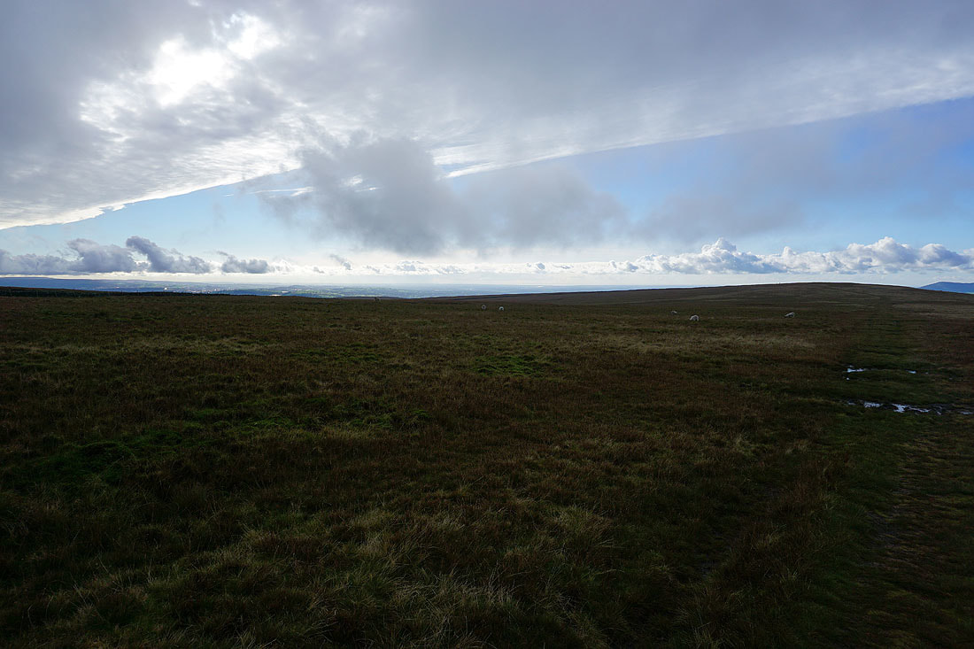
There's a clear back edge to the front as it clears. It's quite a sight to watch the shadow moving across the landscape so that the Forest of Bowland, Ribble Valley and western fells of the Yorkshire Dales are bathed in sunshine.....
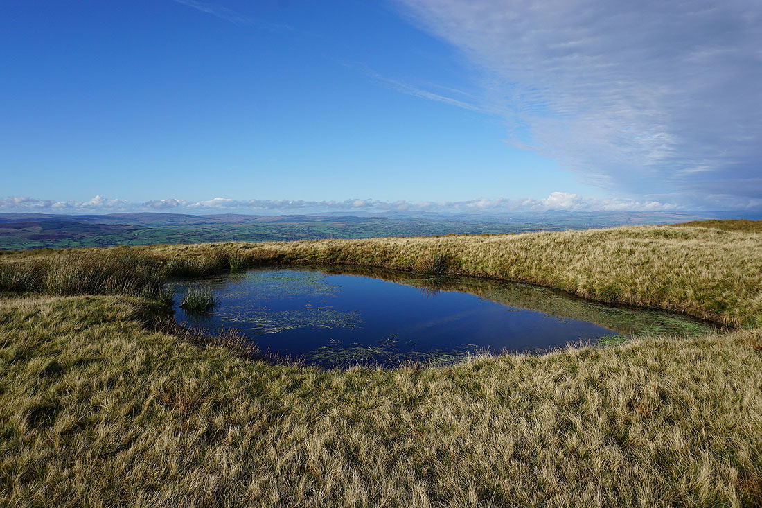
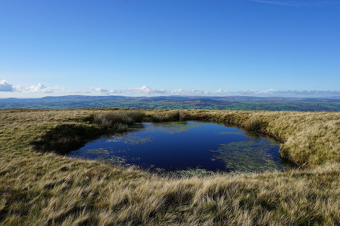
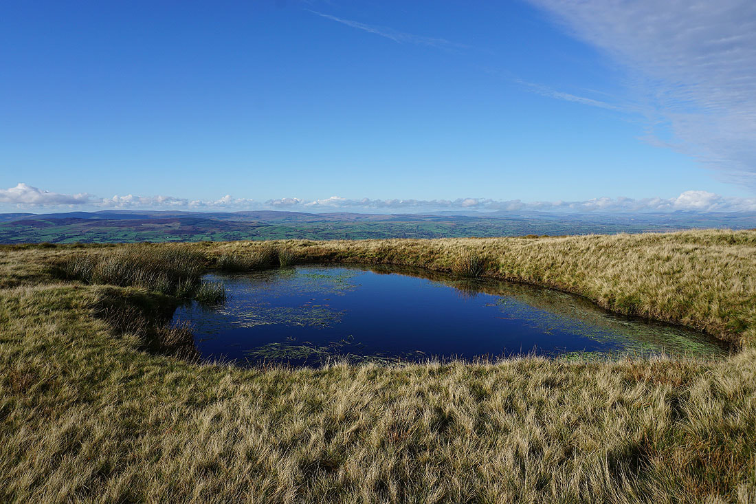
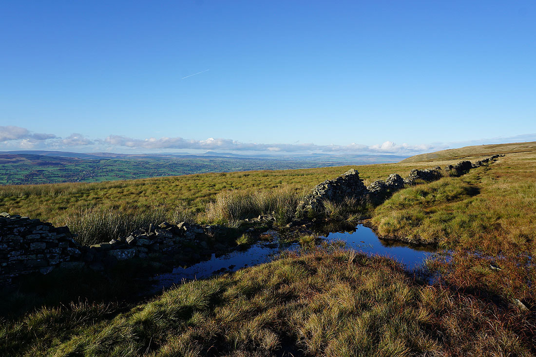
There are great views from the pool on Downham Moor. The wind is so light it's almost like a mirror...
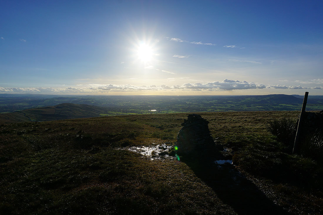
Spectacular skies over Pendle Hill
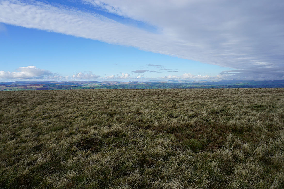
Sunshine over Spence Moor and the distant West Pennine Moors
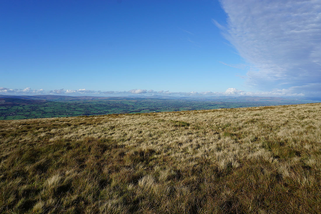
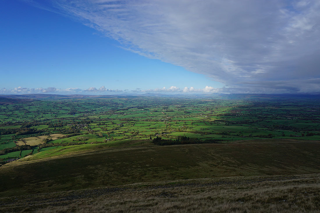
More photos of the view looking up the Ribble Valley to Ingleborough and Penyghent in the Yorkshire Dales as I cross from Downham to Worston Moor....
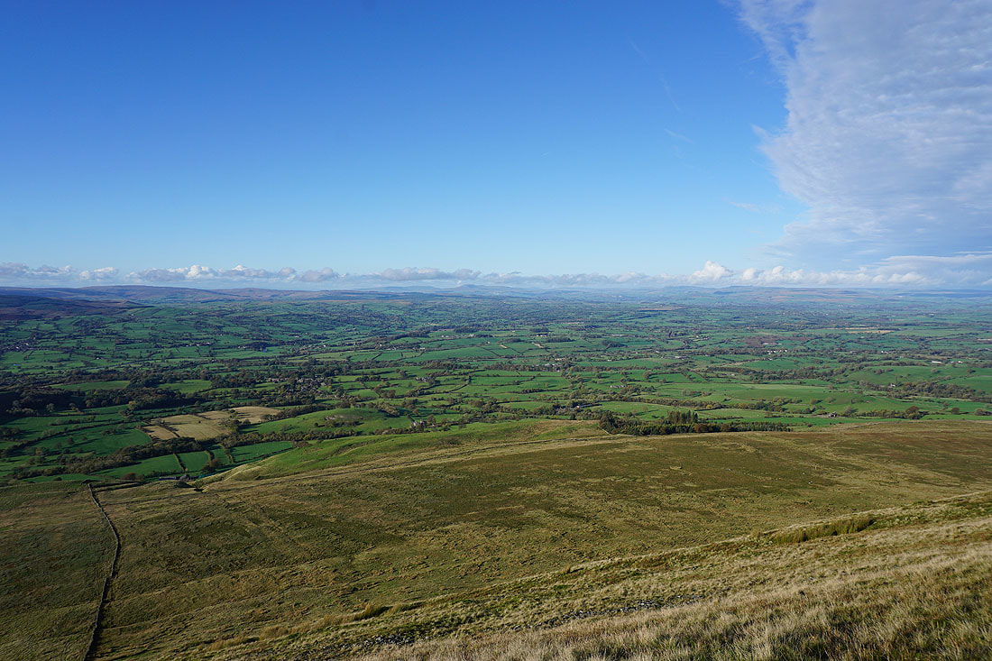
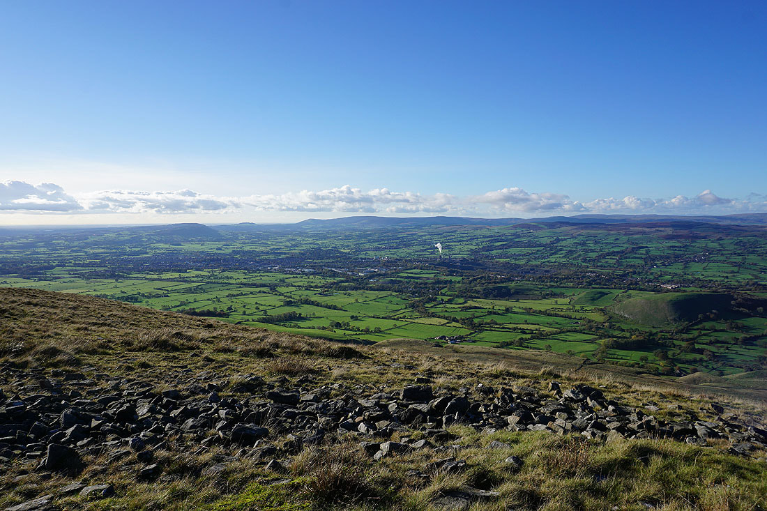
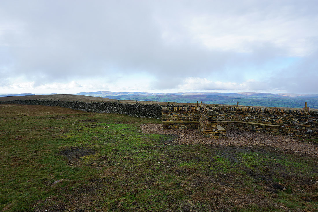
Clitheroe, the Ribble Valley and the Forest of Bowland from the edge of the hill next to the circular shelter
and looking up the Ribble Valley to Ingleborough and Penyghent
Leaving the shelter behind..
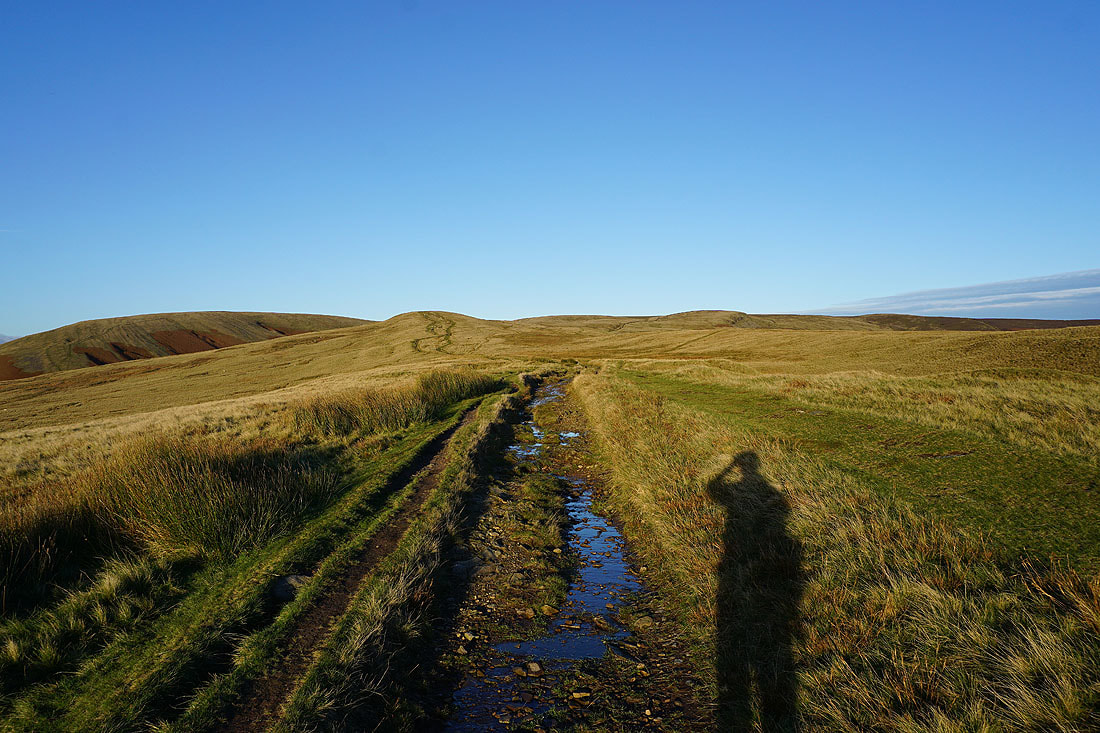
..to head across Worston Moor to the Scout Cairn
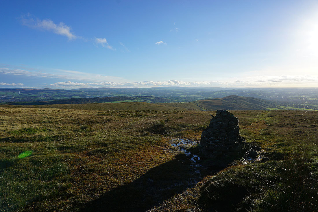
Mearley Moor from the Scout Cairn
and the Forest of Bowland
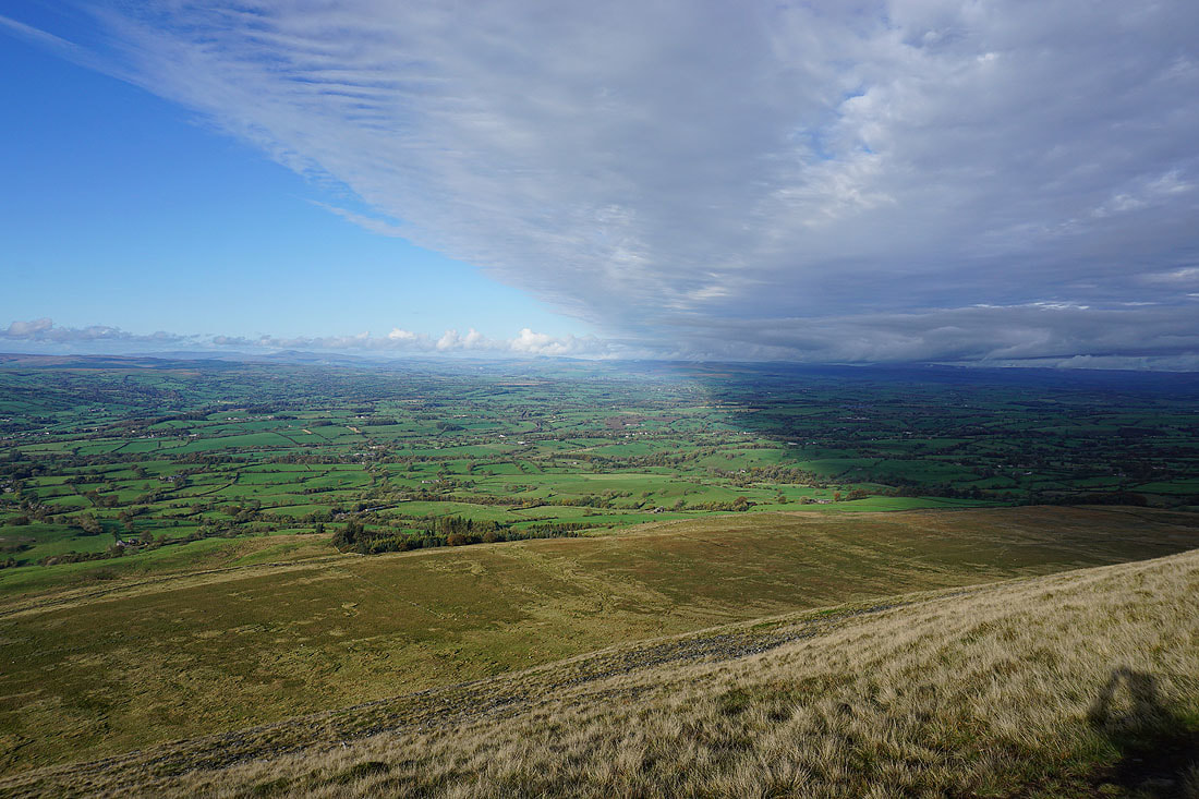
Spence Moor from Mearley Moor
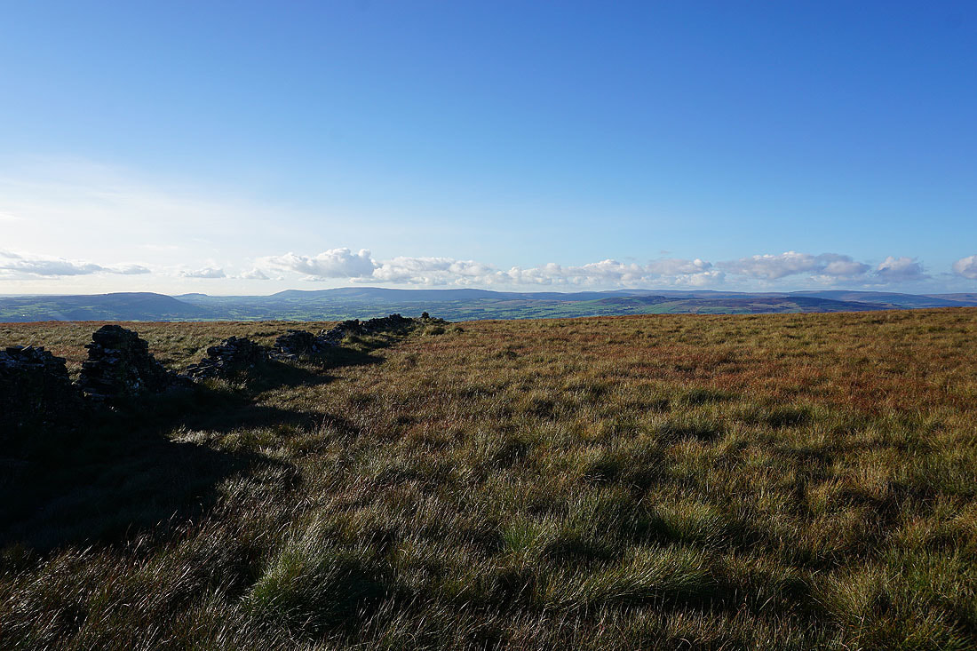
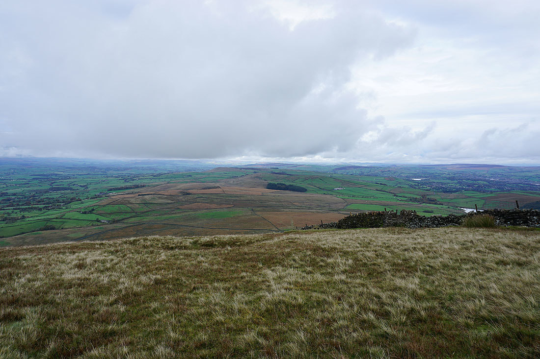
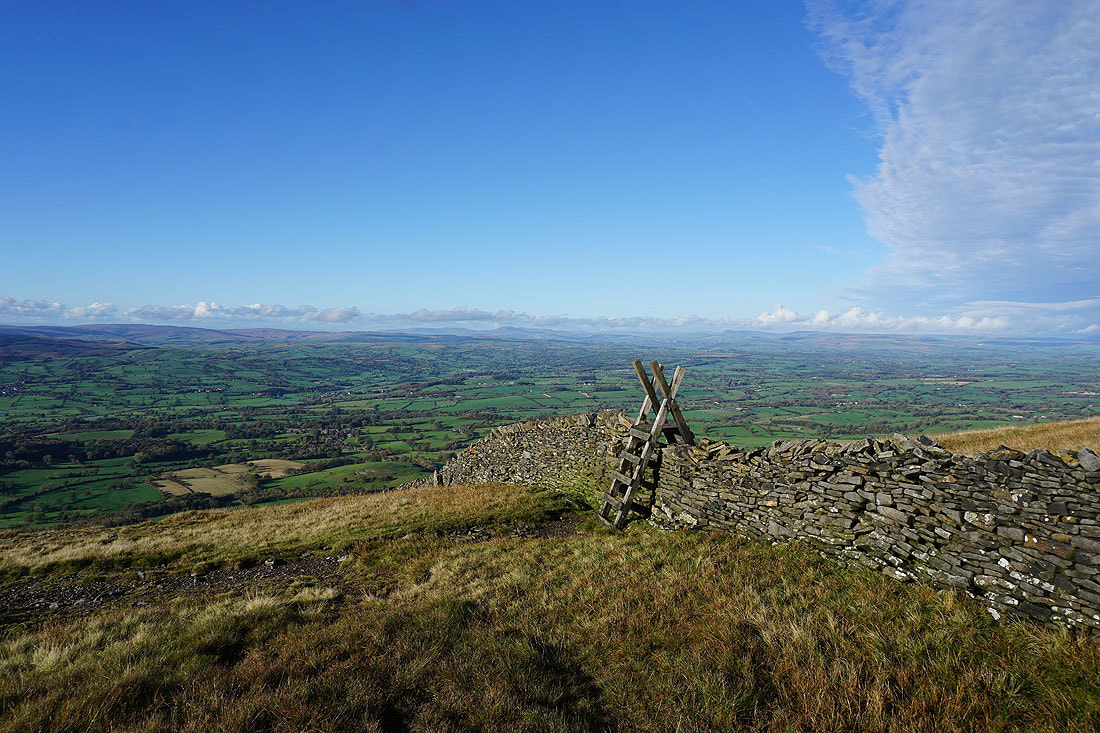
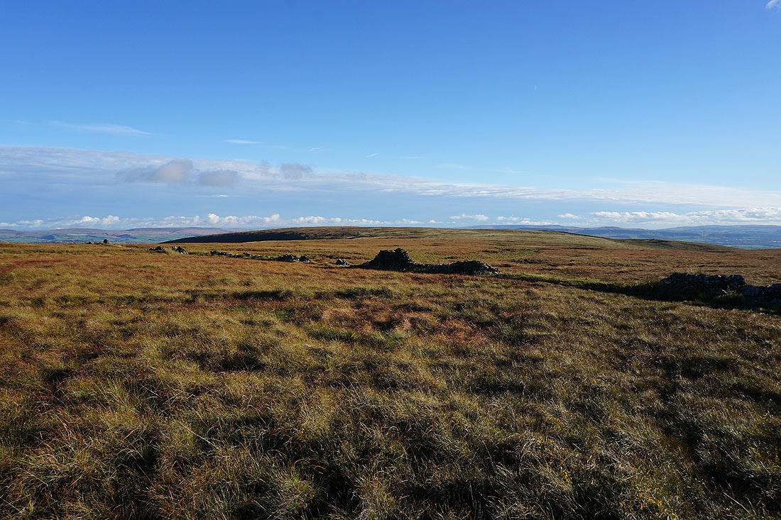
Longridge Fell, Parlick, Fair Snape Fell, Totridge, Ward's Stone, Wolfhole Crag and White Hill in the Forest of Bowland. The ruined wall makes a good foreground.
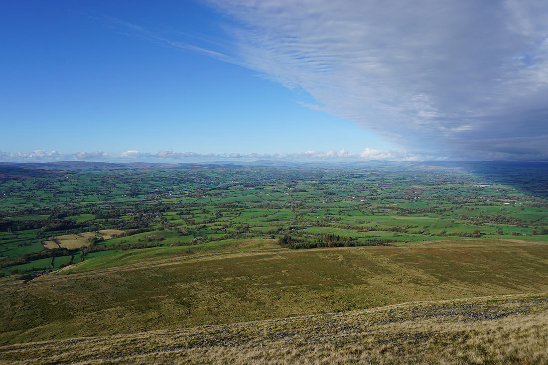
As it does for this view up the Ribble Valley to Ingleborough and Penyghent
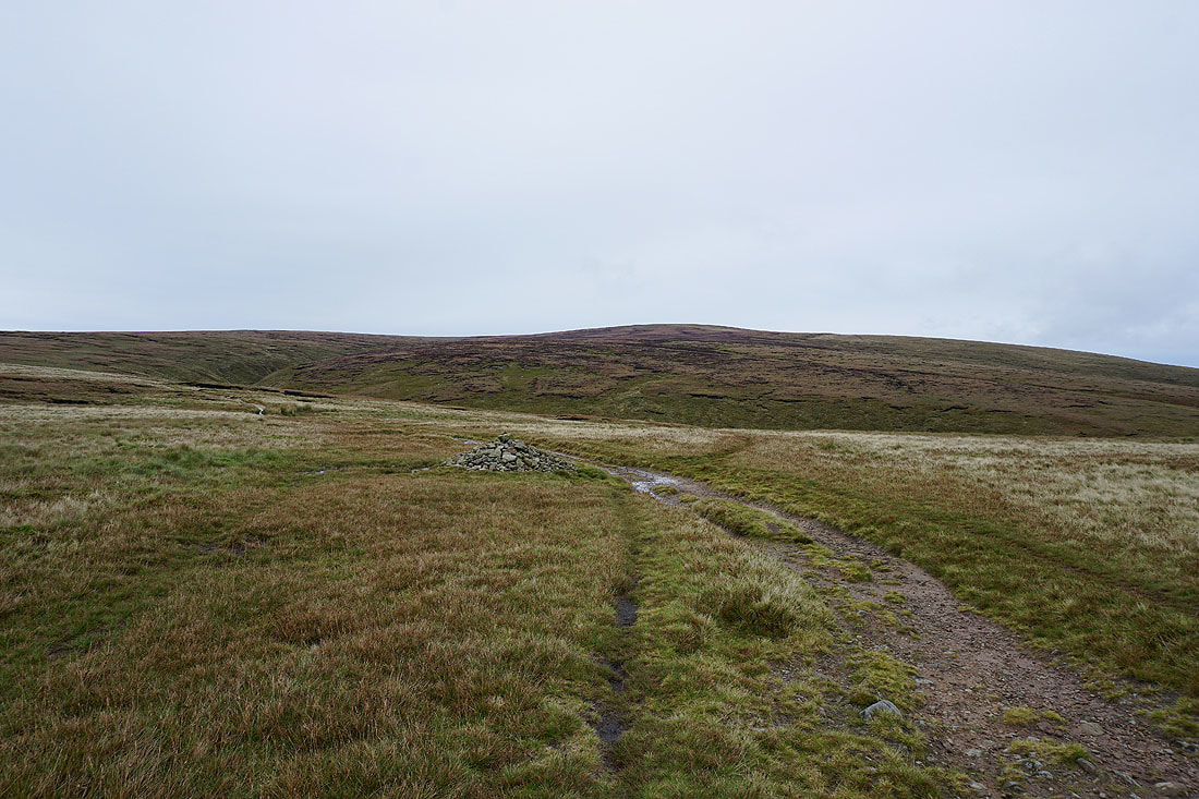
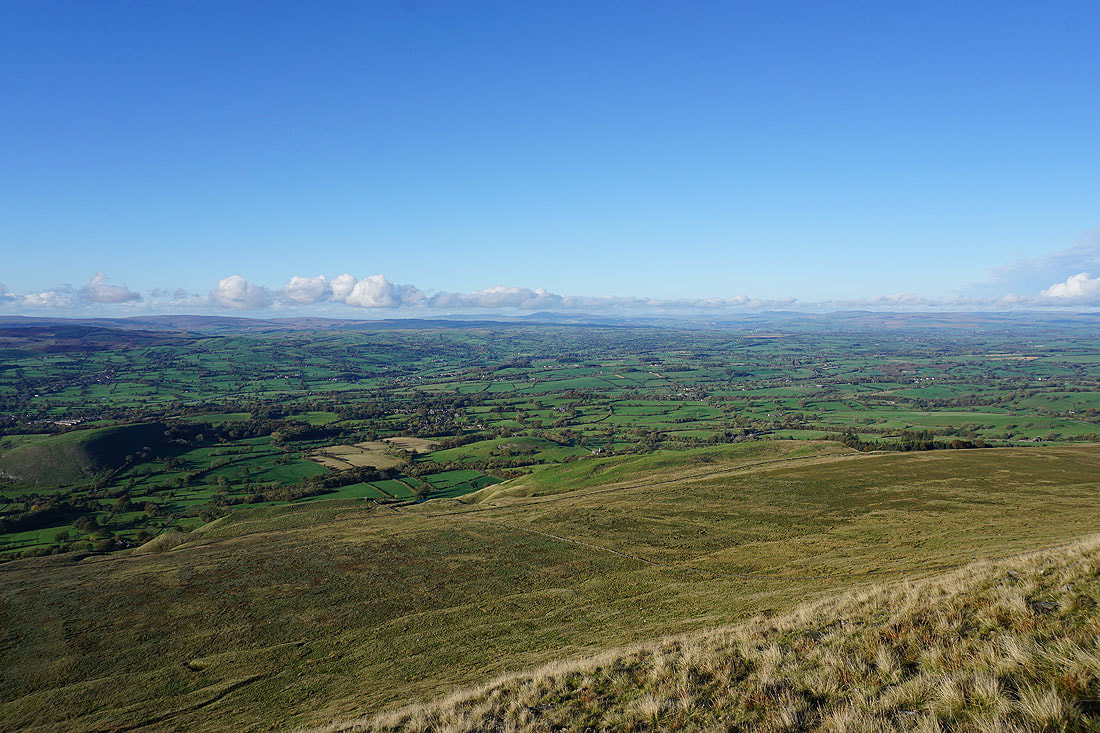
Worston Moor and the summit of Pendle Hill
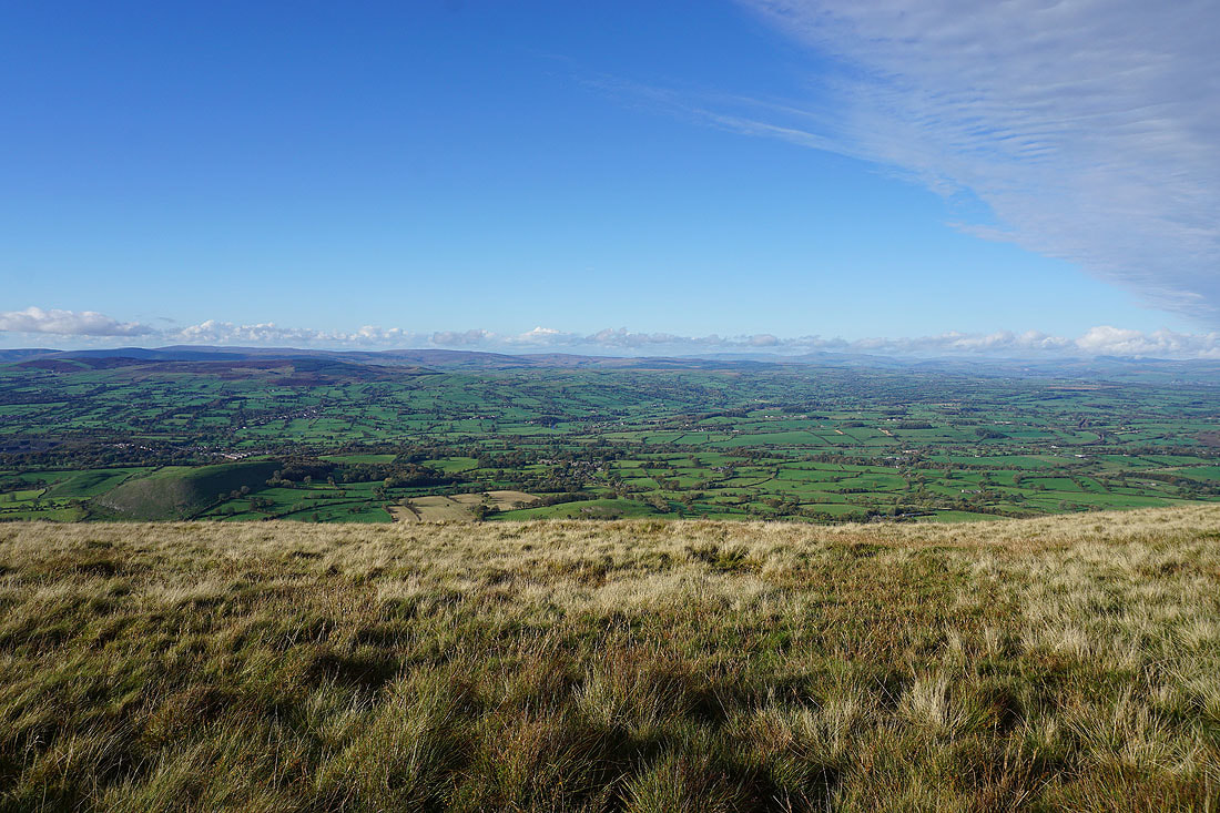
The Forest of Bowland from the wall at the western end of Mearley Moor
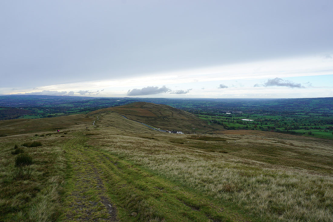
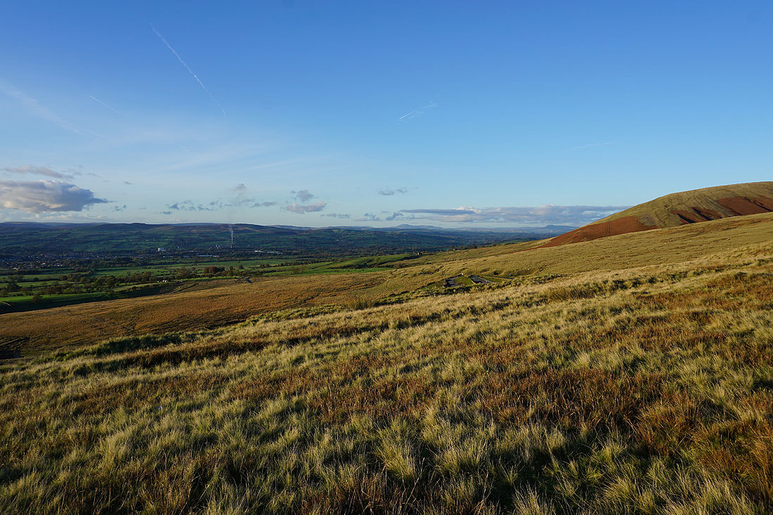
Pendleton Moor and the Nick of Pendle with the West Pennine Moors in the distance
Looking down the Ribble Valley towards the Irish Sea
Crossing Howcroft Brook on my way to Pendleton Moor
Sabden and the wooded Black Hill from Pendleton Moor
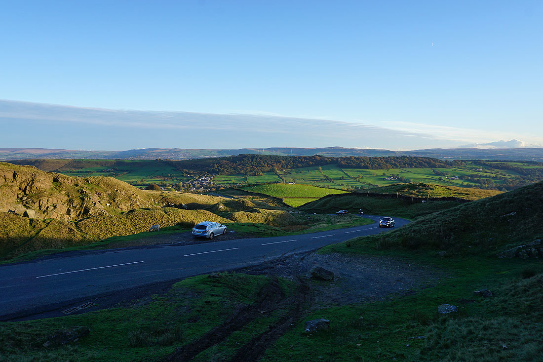
Heading down Pendleton Moor to the Nick of Pendle
There's a beautiful light this late in the afternoon with the sun starting to set...
One last shot of Sabden and Black Hill from where I'm parked at the Nick of Pendle