14th October 2023 - Twiston Moor and Weets Hill
Walk Details
Distance walked: 13.2 miles
Total ascent: 2201 ft
OS map used: OL21 - South Pennines
Time taken: 7 hrs
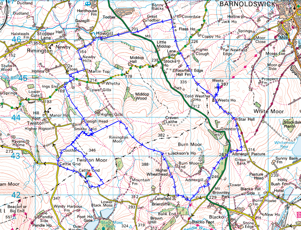
Route description: Black Moss Road-Twiston Moor-Rimington Moor-Wheathead Height-Heigher Wheathead Farm-Wheathead Lane-Pendle Way-Gisburn Old Road-Weets Hill-Pennine Bridleway-Howgill Lane-Martin Top Lane-Side Lane-Stopper Lane-Skeleron Lane-Rimington Moor-Twiston Moor-Coolham-Black Moss Road
The weather has definitely changed to become more autumnal for this weekend, with a drop in temperature and accompanying wind bringing a distinctly chilly feel. I stayed local for my walk today as I drove the short distance west to do a route across the moorland to the north of Barley, and to the west of where I live in Foulridge. These moors are very familiar to me as a result of the numerous walks that I did across them during the COVID-19 restrictions, but despite that I managed to vary the route to include some footpaths and bridleways that I hadn't used before, like the Pennine Bridleway north of Stocks Lane, and from Howgill Lane up to the western end of Rimington Moor. I set off from Black Moss Road above Barley with lots of blue skies and sunshine, but during the rest of morning and into the afternoon the cloud built up to bring a few showers, a couple of which were pretty heavy. Those, the chilly wind, and the sodden ground underfoot made it feel like a proper autumn day.
From where I parked in the layby at the top of Black Moss Road I walked south along the road to the first right hand bend where I took the public footpath on the left. I then followed this path across a field to a squeeze stile in a wall, which I crossed, and then another on the left for a footpath north across Twiston Moor. At the northern end of Twiston Moor I crossed a stile and made my way east to a gate, went through and followed a track east above Smithy Fold to a steep sided clough. I left the track here for a footpath up by the clough and then across it to pick up a footpath east across Rimington Moor. From the eastern end of Rimington Moor I took the footpath signposted for Jackson's House and followed it south up onto the top of Rimington Moor and then south to Wheathead Height, where I kept on the footpath towards Jackson's House before taking the footpath down to Higher Wheathead Farm. I then walked down the track from Higher Wheathead Farm to Wheathead Lane where I turned left and walked down the road to the bridge over Admergill Water, where I joined the Pendle Way. I followed the Pendle Way north to Admergill Hall Farm, by Admergill Water (where I stopped for lunch), up to and across the A682 and up past Admergill Pasture Cottage, and then north to Gisburn Old Road. I then walked up Gisburn Old Road to its top at Weets House Farm, and from there I took the path to the top of Weets Hill. After a stop to take in the view, I returned to the top of Gisburn Old Road, took the Pennine Bridleway and followed it north to Howgill Lane, which took me west across the A682, and to the hamlet of Howgill. I then made my way through Howgill and up Long Lover Lane to Salem Chapel, where I turned left and walked up Martin Top Lane to Martin Top Cottage to take the bridleway of Side Lane across to Stopper Lane. After a brief walk south along Stopper Lane I turned right and walked down Skeleron Lane to take a footpath on the left down to a footbridge over Ings Beck, and then up through fields to reach the western end of Rimington Moor. From there I took a footpath west across a steep sided clough, up a track above Smithy Fold, and across the northern slopes of Twiston Moor to Coolham and the road to Four Lane Ends. After a walk up to Four Lane Ends I turned left and walked along Black Moss Road back to the layby where I'd parked my car.
Total ascent: 2201 ft
OS map used: OL21 - South Pennines
Time taken: 7 hrs
Route description: Black Moss Road-Twiston Moor-Rimington Moor-Wheathead Height-Heigher Wheathead Farm-Wheathead Lane-Pendle Way-Gisburn Old Road-Weets Hill-Pennine Bridleway-Howgill Lane-Martin Top Lane-Side Lane-Stopper Lane-Skeleron Lane-Rimington Moor-Twiston Moor-Coolham-Black Moss Road
The weather has definitely changed to become more autumnal for this weekend, with a drop in temperature and accompanying wind bringing a distinctly chilly feel. I stayed local for my walk today as I drove the short distance west to do a route across the moorland to the north of Barley, and to the west of where I live in Foulridge. These moors are very familiar to me as a result of the numerous walks that I did across them during the COVID-19 restrictions, but despite that I managed to vary the route to include some footpaths and bridleways that I hadn't used before, like the Pennine Bridleway north of Stocks Lane, and from Howgill Lane up to the western end of Rimington Moor. I set off from Black Moss Road above Barley with lots of blue skies and sunshine, but during the rest of morning and into the afternoon the cloud built up to bring a few showers, a couple of which were pretty heavy. Those, the chilly wind, and the sodden ground underfoot made it feel like a proper autumn day.
From where I parked in the layby at the top of Black Moss Road I walked south along the road to the first right hand bend where I took the public footpath on the left. I then followed this path across a field to a squeeze stile in a wall, which I crossed, and then another on the left for a footpath north across Twiston Moor. At the northern end of Twiston Moor I crossed a stile and made my way east to a gate, went through and followed a track east above Smithy Fold to a steep sided clough. I left the track here for a footpath up by the clough and then across it to pick up a footpath east across Rimington Moor. From the eastern end of Rimington Moor I took the footpath signposted for Jackson's House and followed it south up onto the top of Rimington Moor and then south to Wheathead Height, where I kept on the footpath towards Jackson's House before taking the footpath down to Higher Wheathead Farm. I then walked down the track from Higher Wheathead Farm to Wheathead Lane where I turned left and walked down the road to the bridge over Admergill Water, where I joined the Pendle Way. I followed the Pendle Way north to Admergill Hall Farm, by Admergill Water (where I stopped for lunch), up to and across the A682 and up past Admergill Pasture Cottage, and then north to Gisburn Old Road. I then walked up Gisburn Old Road to its top at Weets House Farm, and from there I took the path to the top of Weets Hill. After a stop to take in the view, I returned to the top of Gisburn Old Road, took the Pennine Bridleway and followed it north to Howgill Lane, which took me west across the A682, and to the hamlet of Howgill. I then made my way through Howgill and up Long Lover Lane to Salem Chapel, where I turned left and walked up Martin Top Lane to Martin Top Cottage to take the bridleway of Side Lane across to Stopper Lane. After a brief walk south along Stopper Lane I turned right and walked down Skeleron Lane to take a footpath on the left down to a footbridge over Ings Beck, and then up through fields to reach the western end of Rimington Moor. From there I took a footpath west across a steep sided clough, up a track above Smithy Fold, and across the northern slopes of Twiston Moor to Coolham and the road to Four Lane Ends. After a walk up to Four Lane Ends I turned left and walked along Black Moss Road back to the layby where I'd parked my car.
Route map
© Crown copyright. All rights reserved. License number PU 100034184.
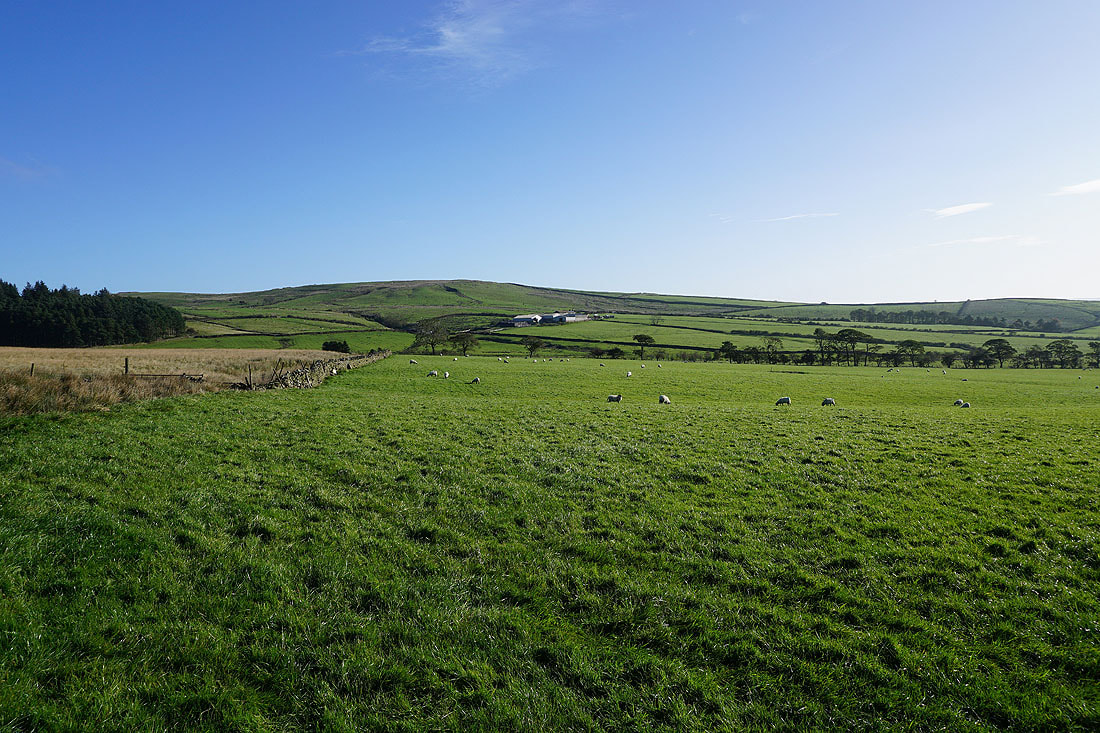
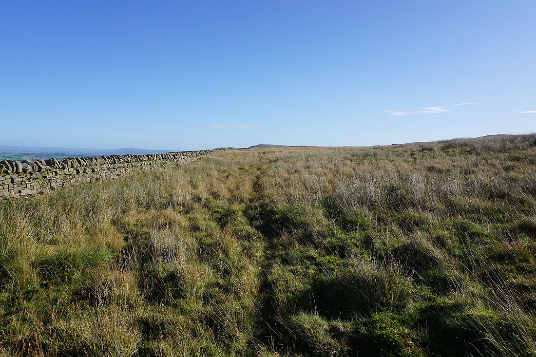
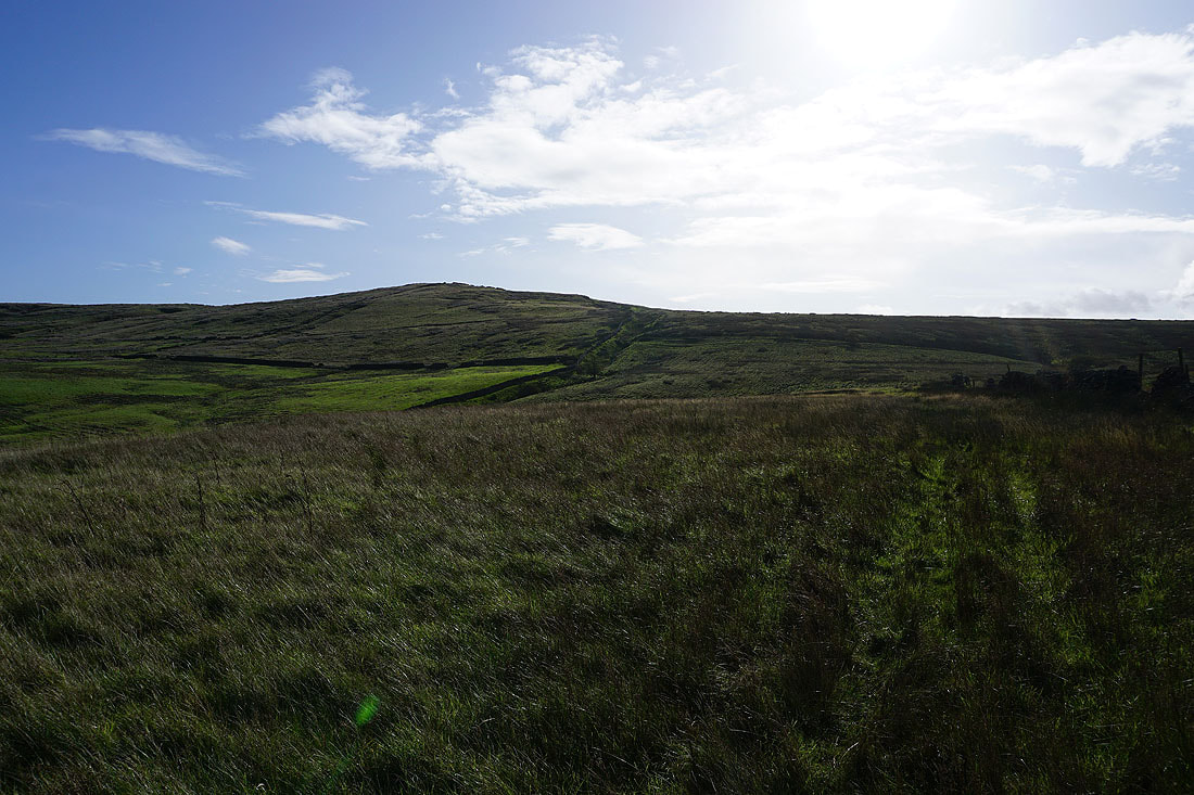
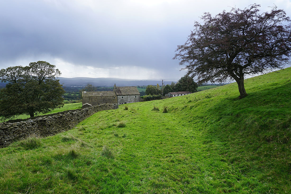
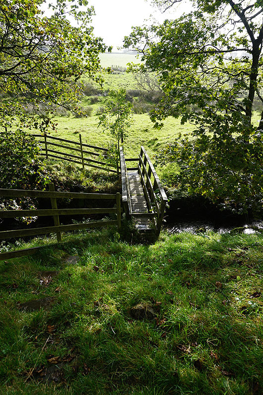
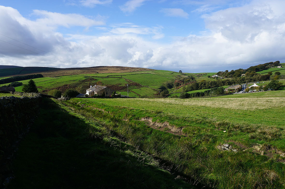
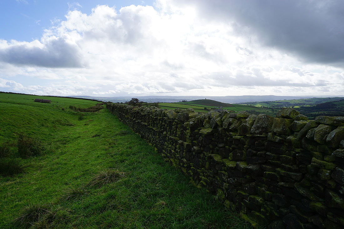
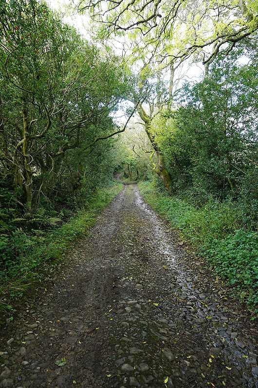
Mountain Farm and Wheathead Height ahead as I take the footpath from Black Moss Road onto Twiston Moor

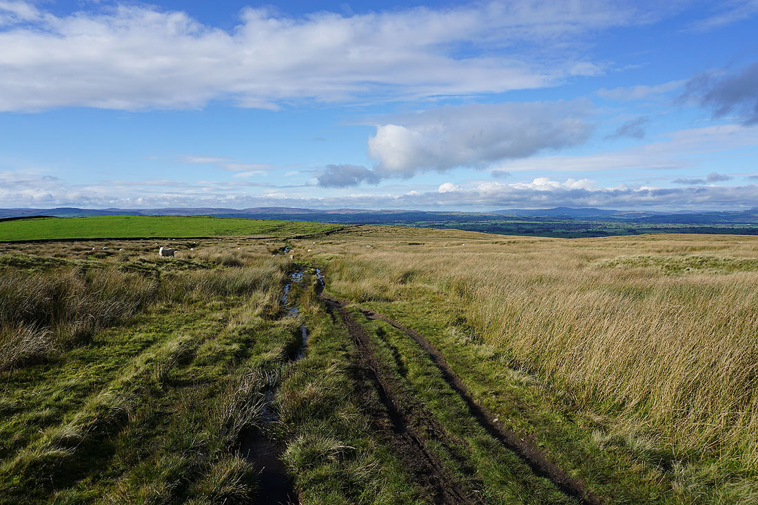
Heading north up onto Twiston Moor
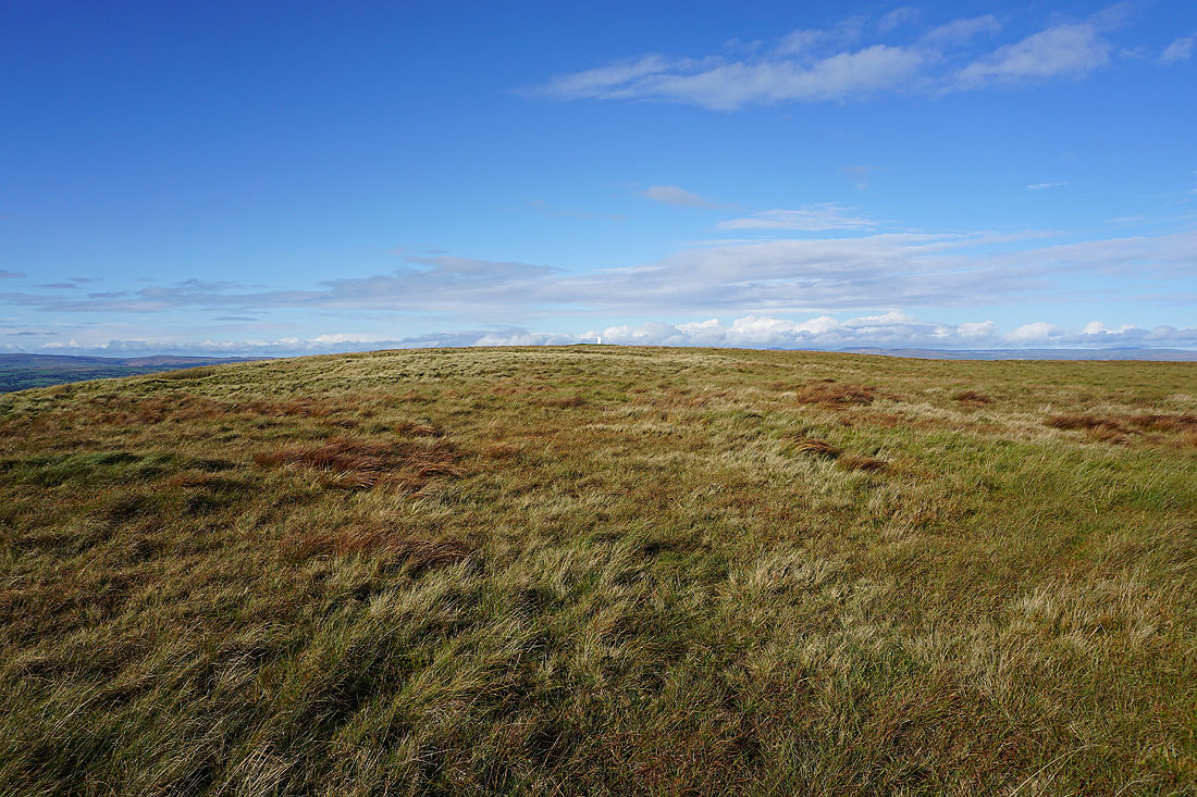
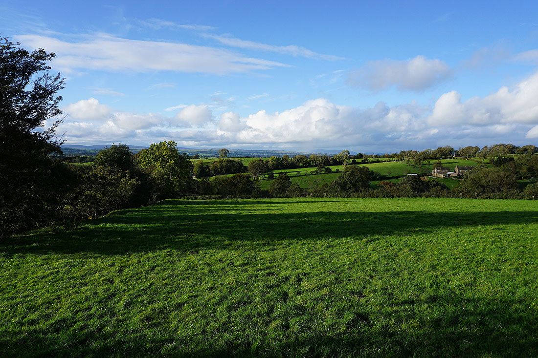
The Forest of Bowland comes into view as I cross the top of the moor
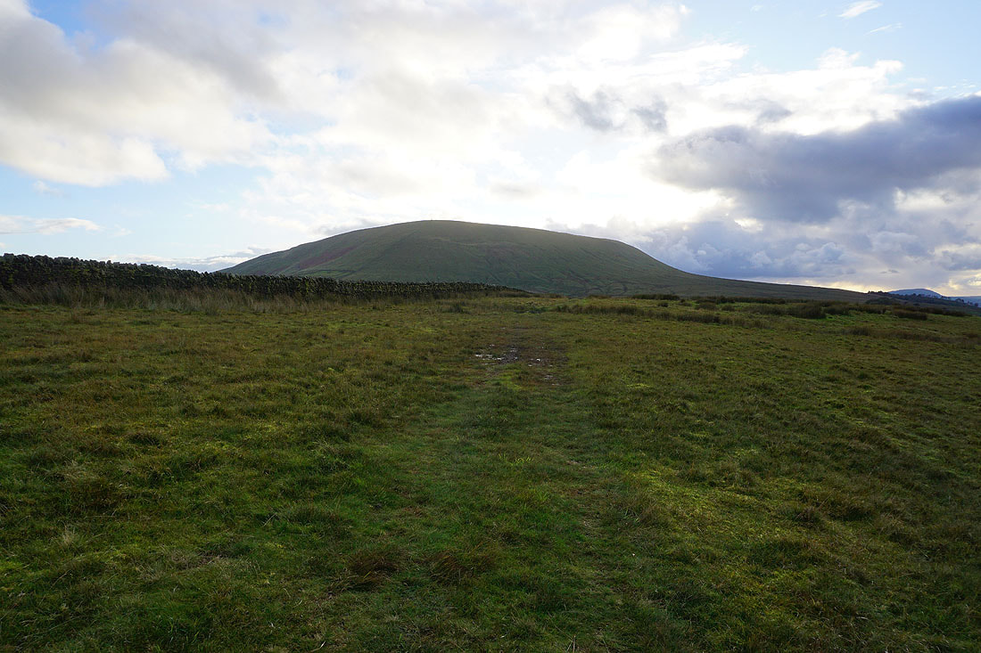
Pendle Hill looms large to my left
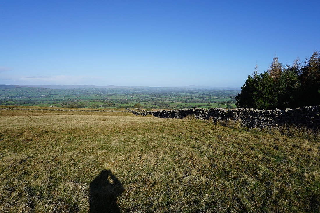
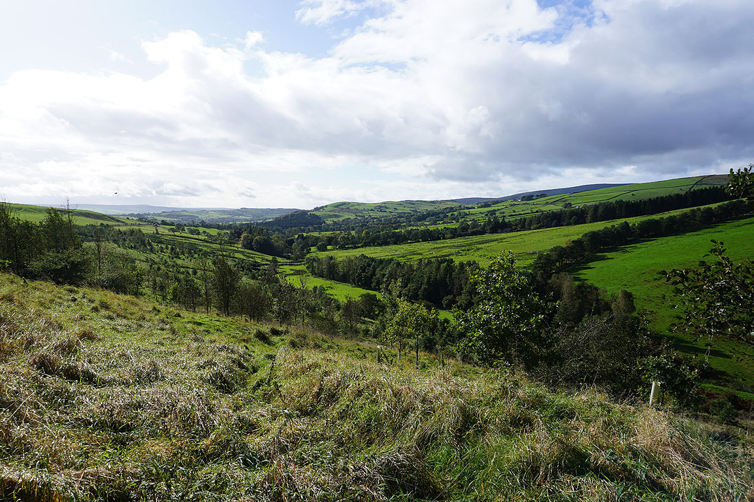
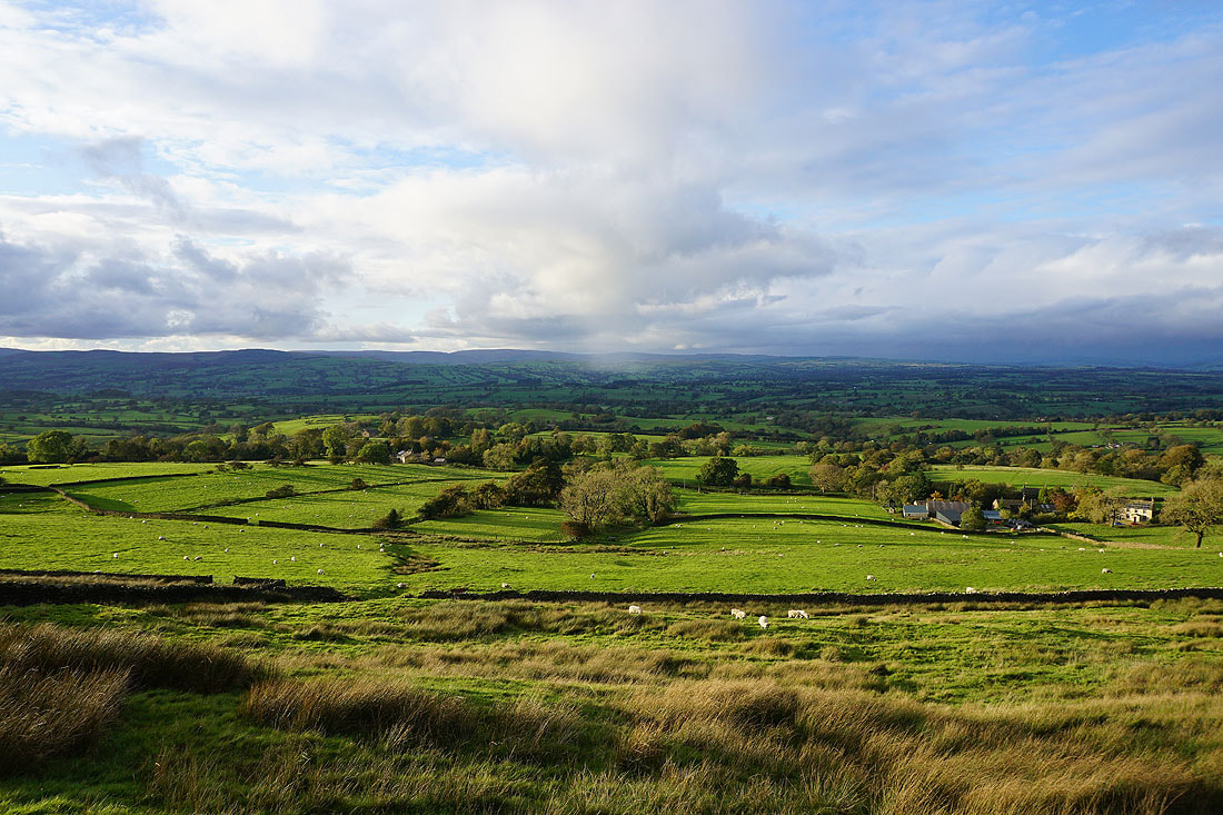
Looking north across the Ribble Valley to the Forest of Bowland and Ingleborough
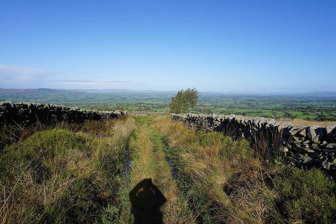
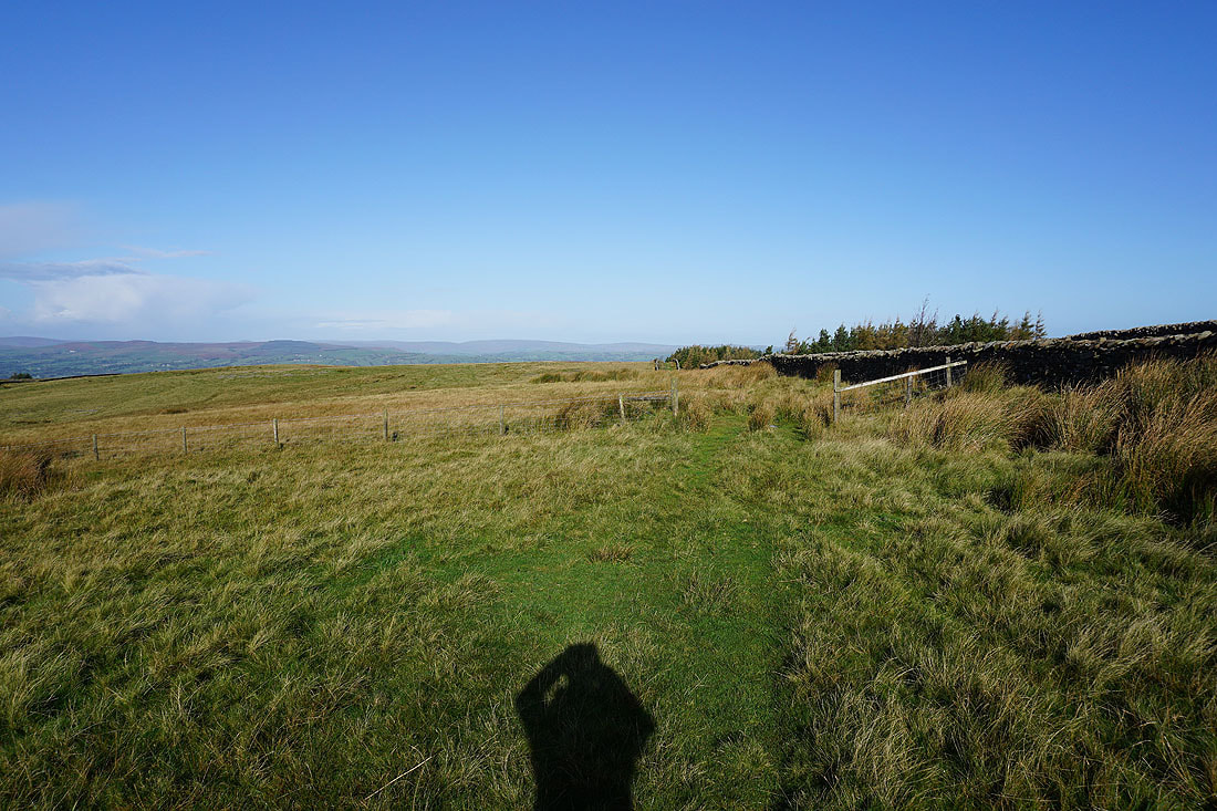
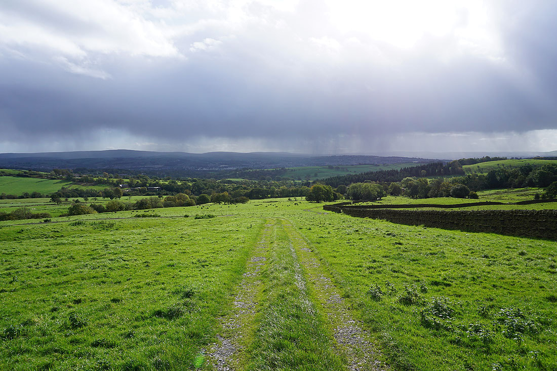
I leave Twiston Moor via a footpath along a track that has great views across the Ribble Valley to the Forest of Bowland, and to the Yorkshire Dales....
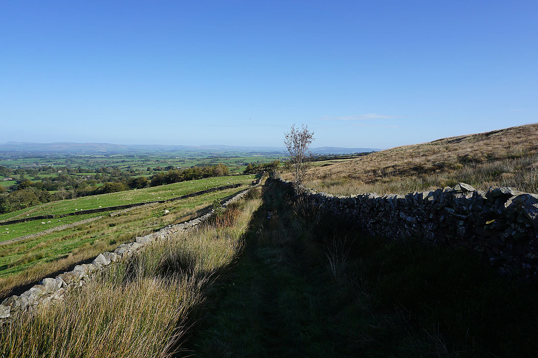
Looking back to Pendle Hill
and across to the Forest of Bowland, Ingleborough, and Penyghent from the western end of Rimington Moor
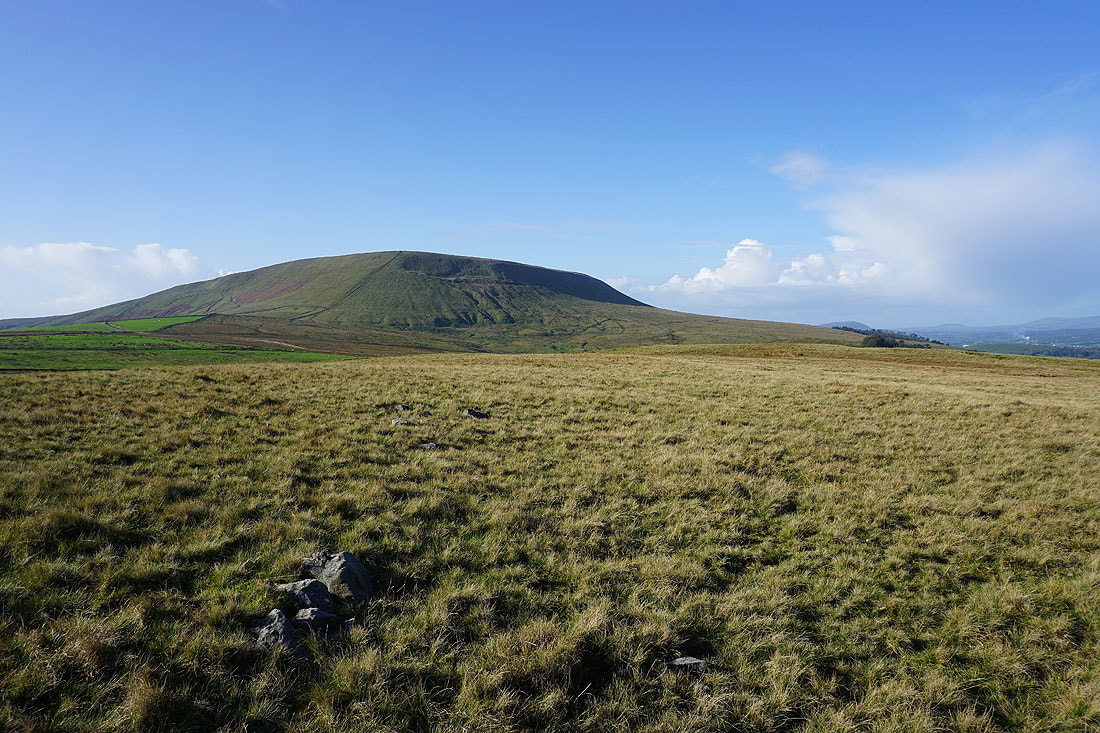
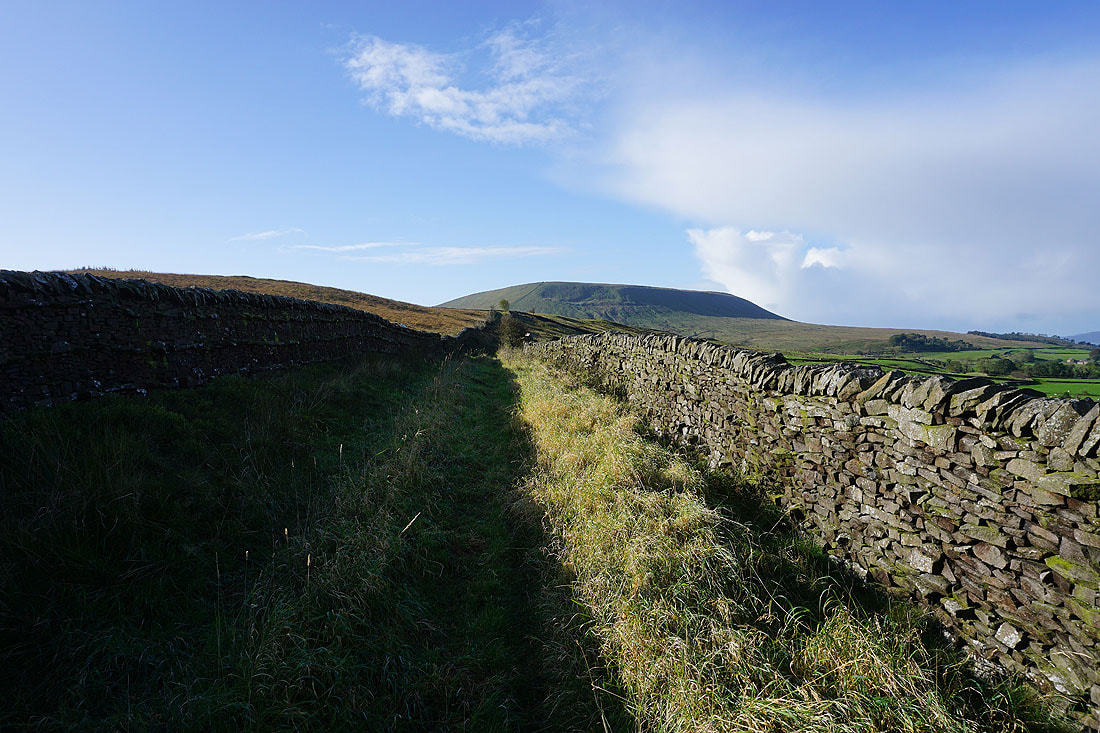
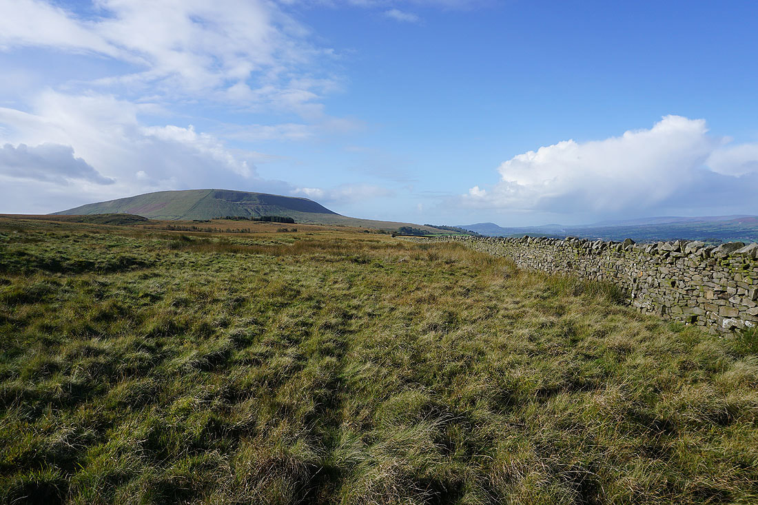
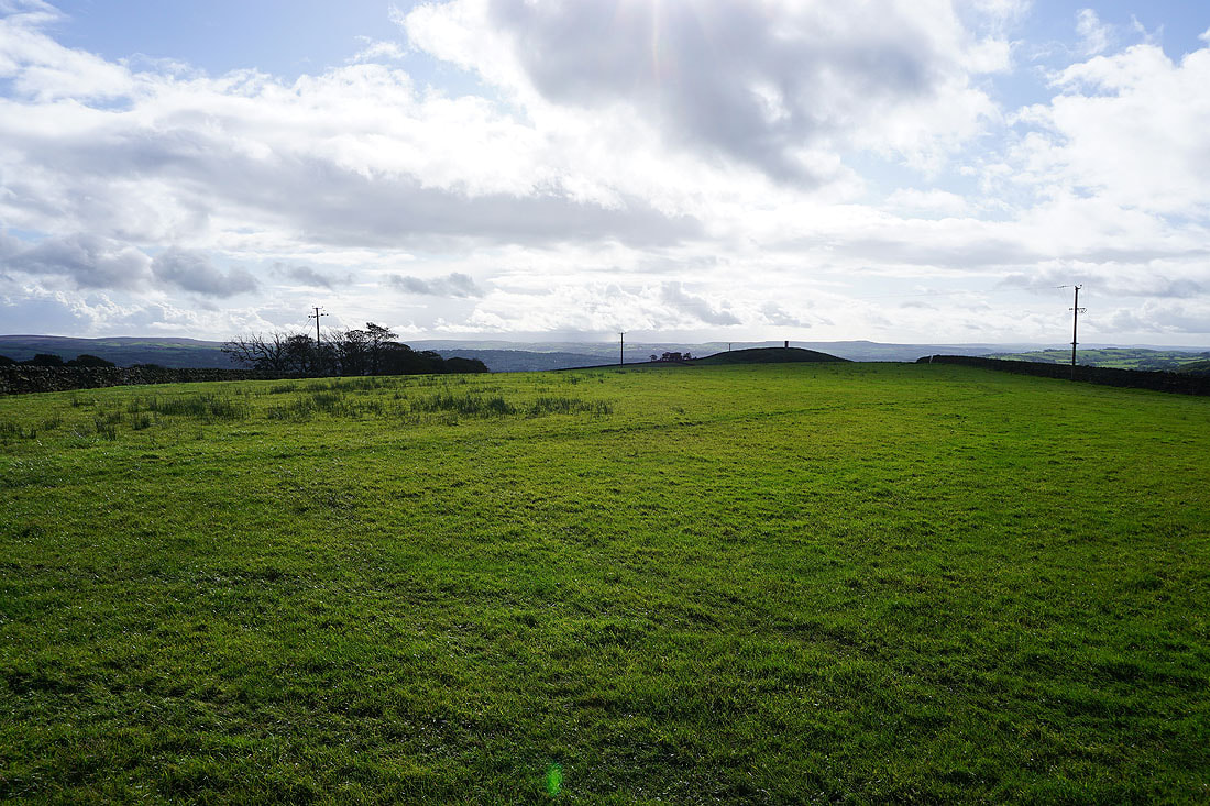
Pendle Hill and Twiston Moor
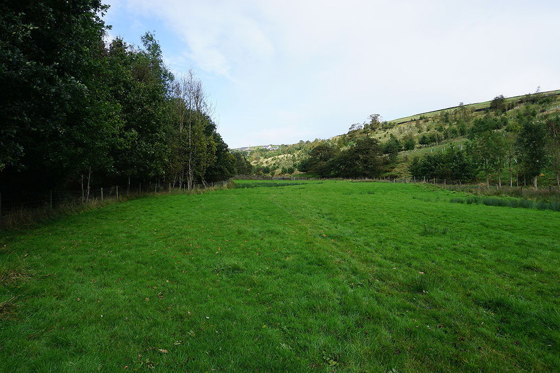
Heading east across a boggy Rimington Moor
Looking back to Pendle Hill and Twiston Moor
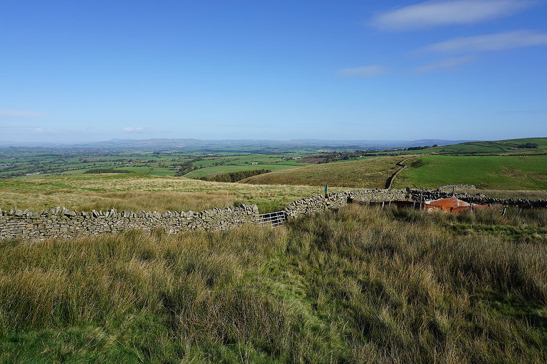
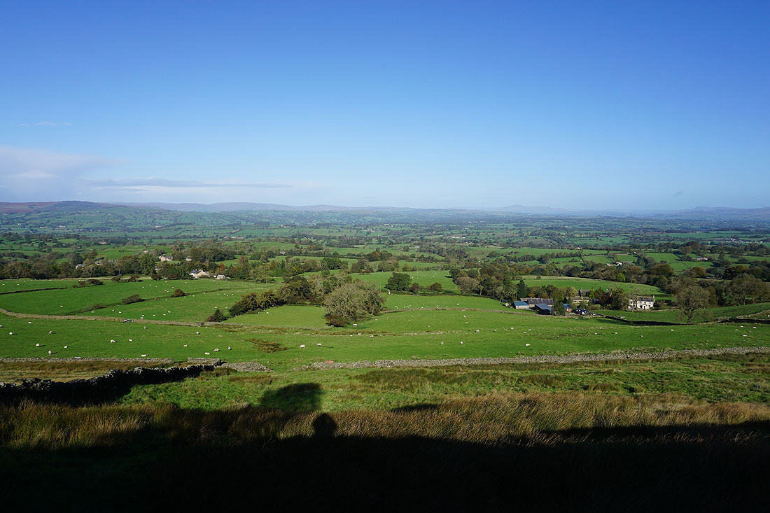
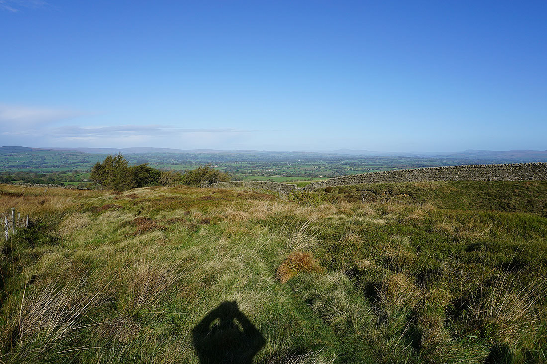
The moors above Settle and Malham, and around Wharfedale, in the distance from the eastern end of Rimington Moor
The view across the Ribble Valley to the Forest of Bowland, Ingleborough and Penyghent as I head south up onto Wheathead Height...

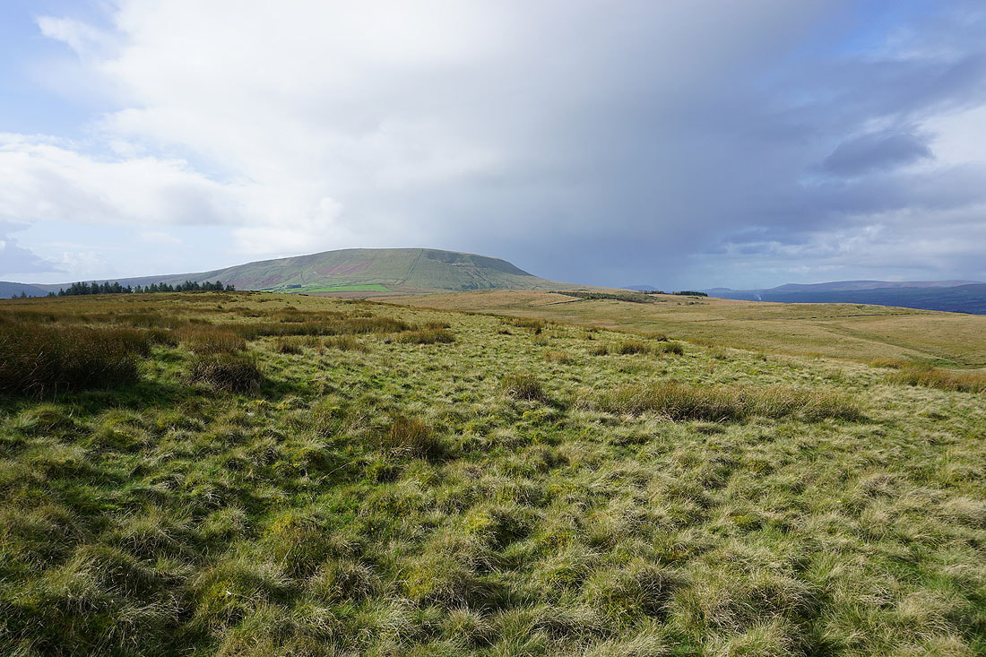
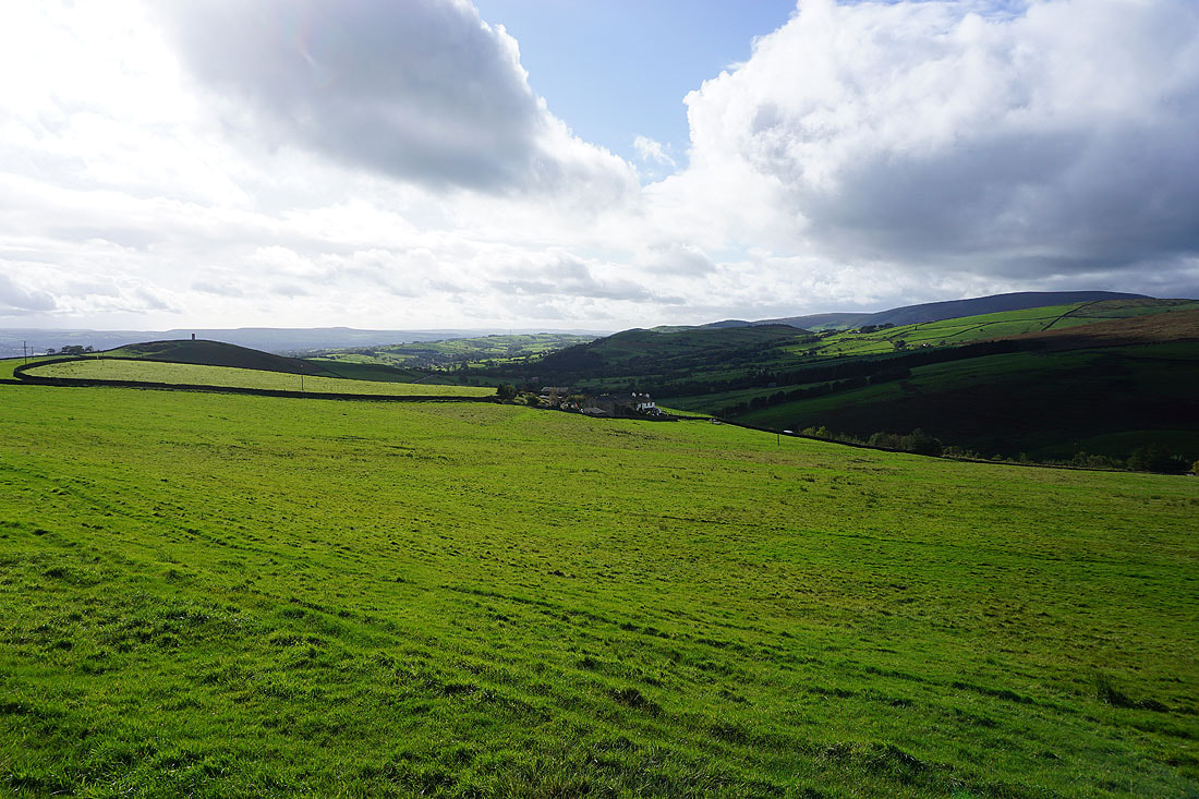
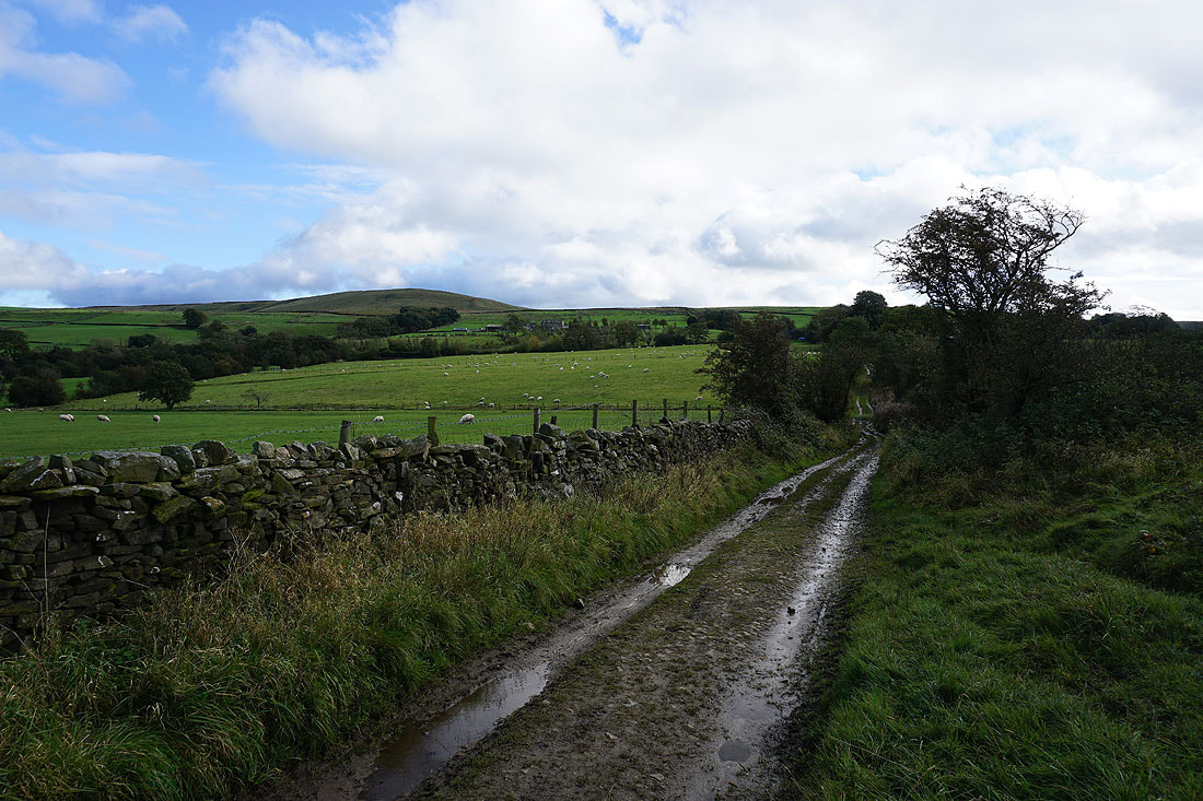
Pendle Hill, Twiston Moor, and Rimington Moor to the west
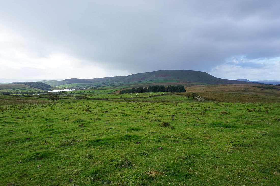
The Black Moss Reservoirs, Pendle Hill, and the ruins of Firber House from Wheathead Height
Ickornshaw Moor and Boulsworth Hill in the distance as I take the footpath towards Jackson's House from Wheathead Height
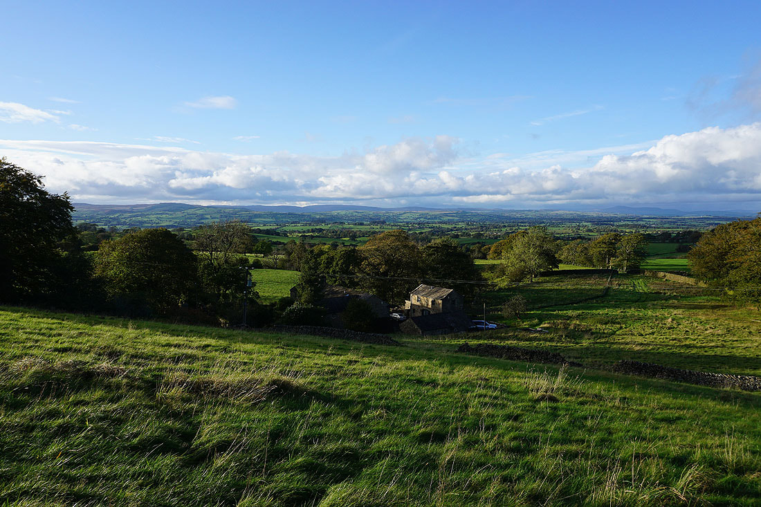
Heading down to Higher Wheathead Farm
From Higher Wheathead Farm I walk down a track..

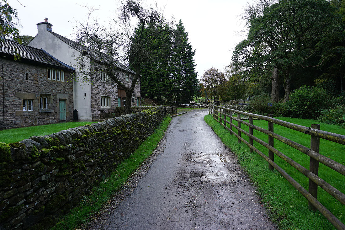
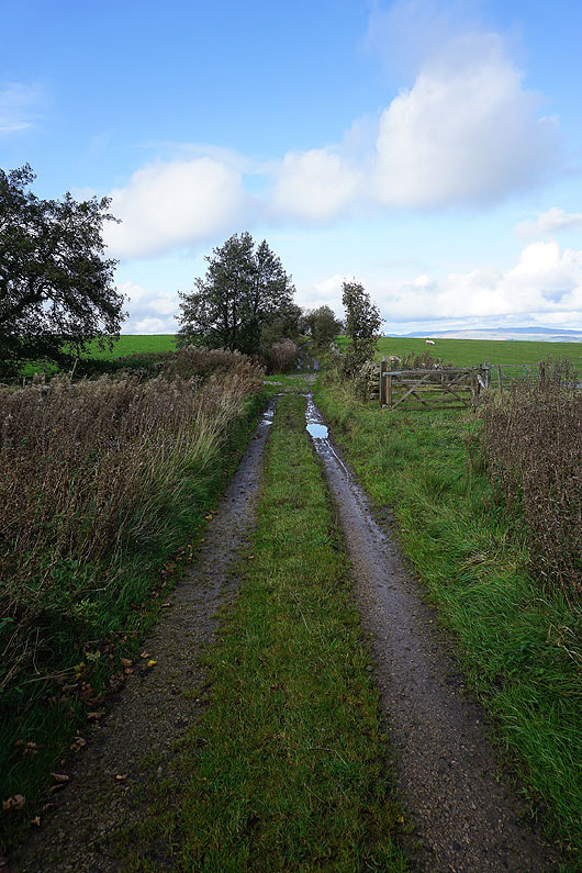
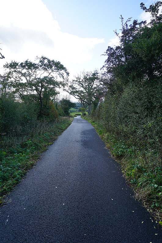
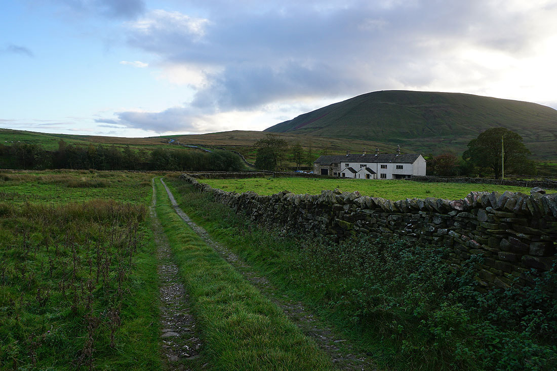
..to Wheathead Lane at Lanefield
From Lanefield I walk down Wheathead Lane to the bridge over Admergill Water, where I take the Pendle Way north to Admergill Hall Farm
That's heading this way. It might be a good idea to find some shelter.
Crossing Admergill Water
The shower passed through while I was at Admergill Hall Farm. I continue by following the Pendle Way past Admergill Hall Farm, and then up the valley of Admergill Water...

Looking back down the valley of Admergill Water
Burn Moor from the Pendle Way above Admergill Pasture Cottage
On Blacko Hill
Blacko Hill, the Forest of Pendle and Pendle Hill as I follow the Pendle Way north
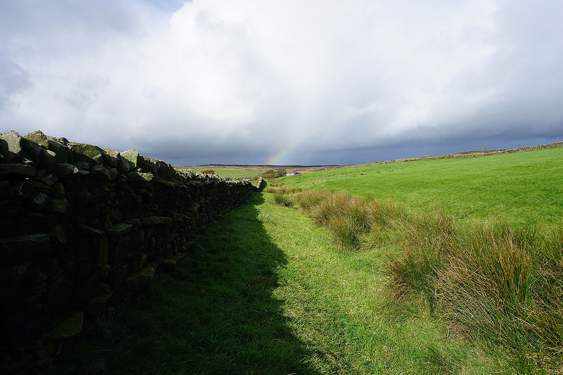
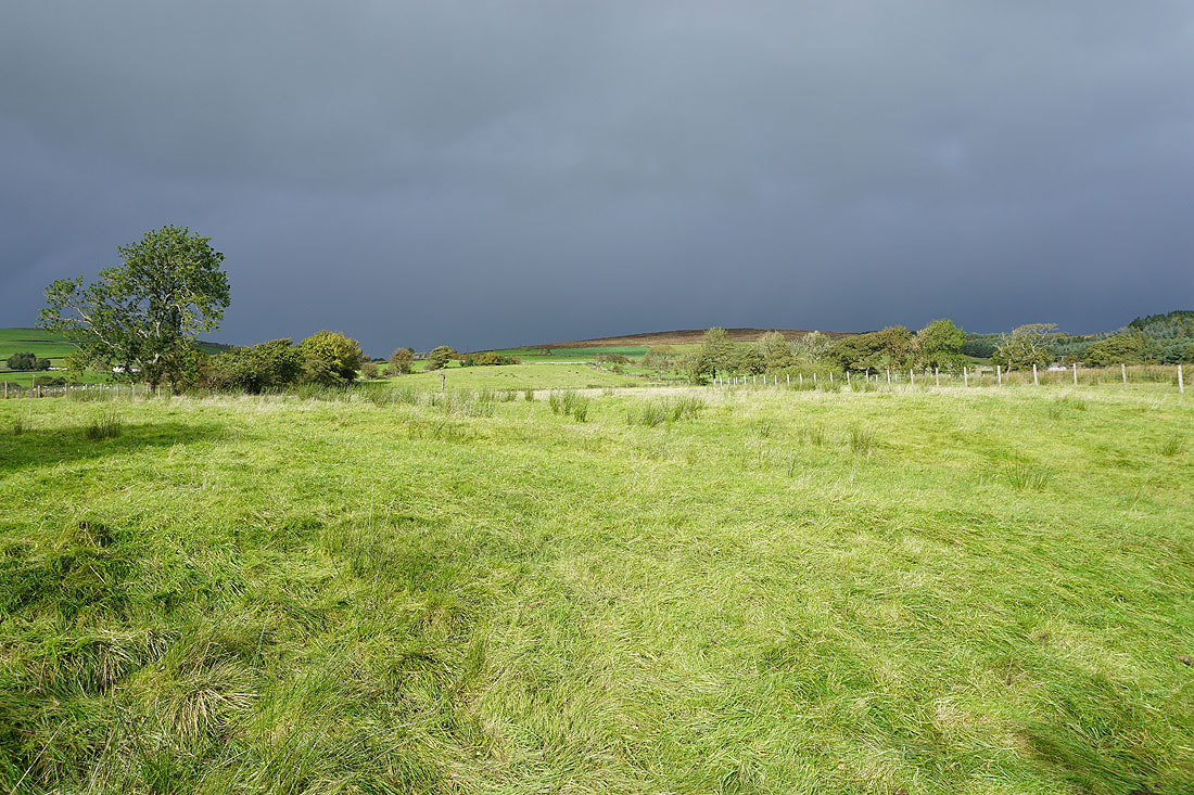
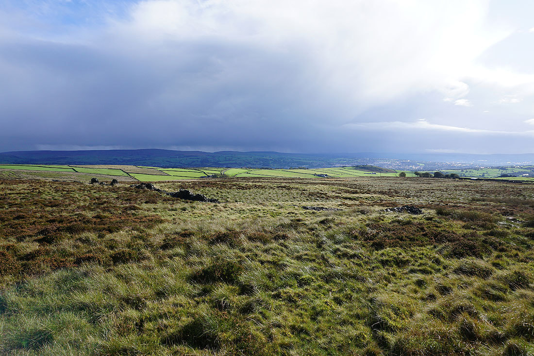
and there are dark clouds and showers ahead of me
Looking back to Blacko Hill
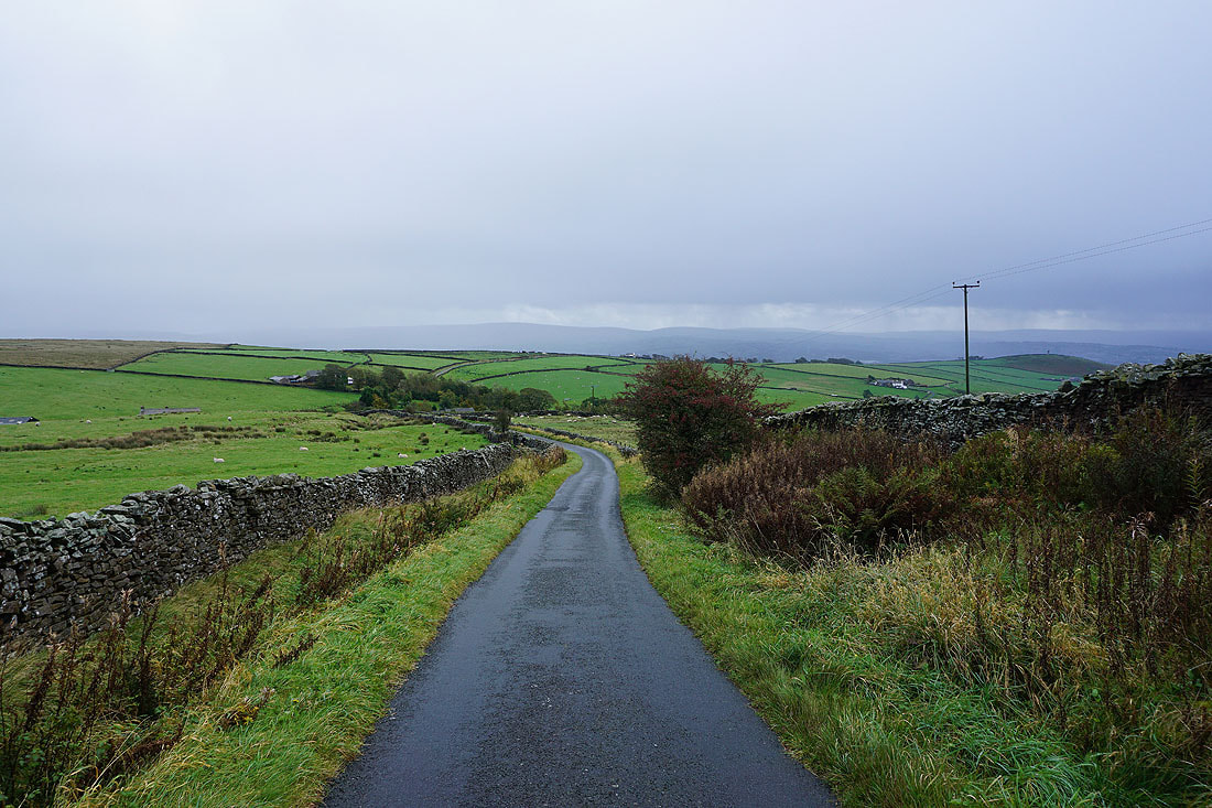
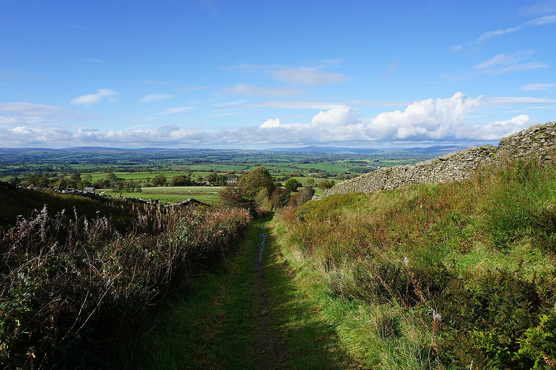
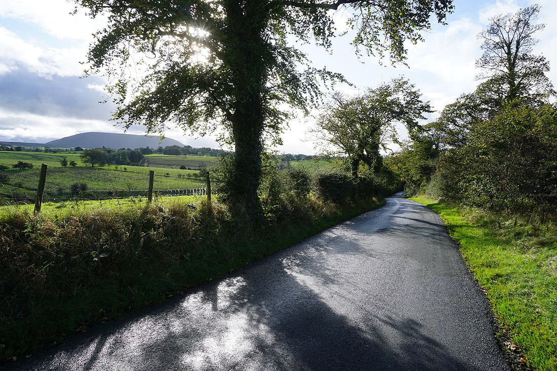
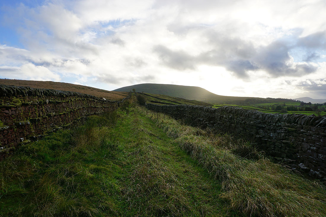
Looking back down Gisburn Old Road with Boulsworth Hill in the distance

Above Weets House Farm as the shower clears and the sun returns
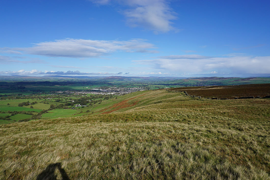
Blue skies and sunshine for the view across the Ribble Valley to the Forest of Bowland

Heading up onto Weets Hill
Boulsworth Hill and Hoof Stones Height in the South Pennines in the distance
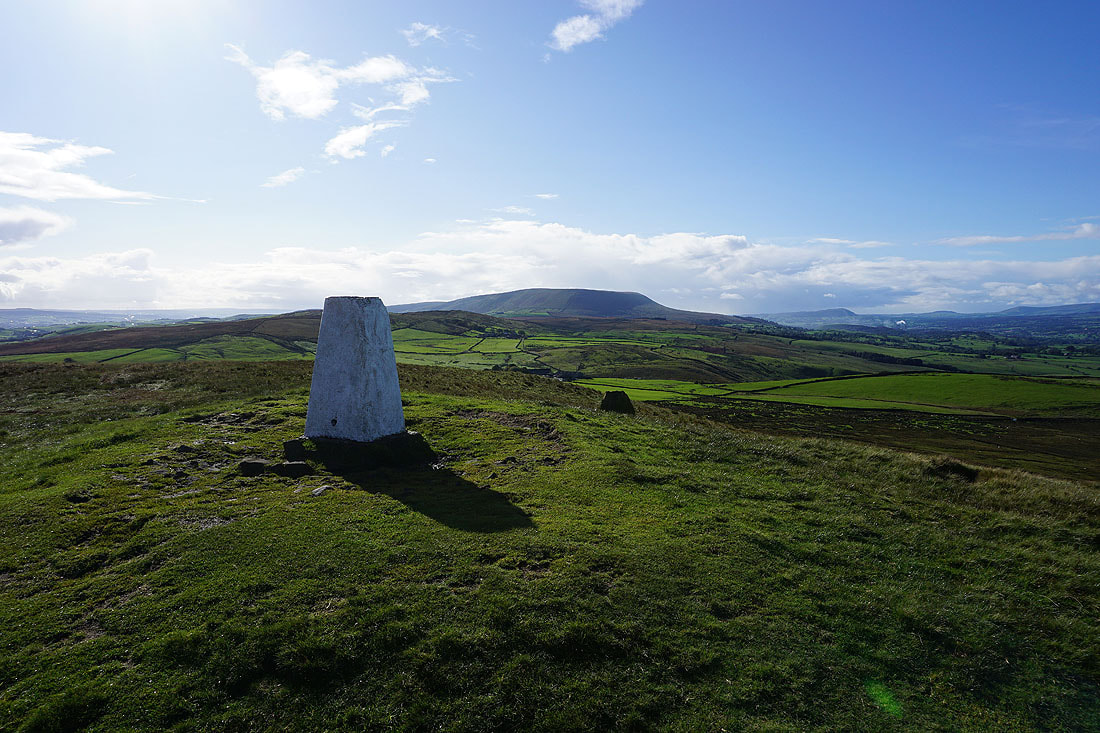
The trig point above me as I cross to the eastern end of the hill
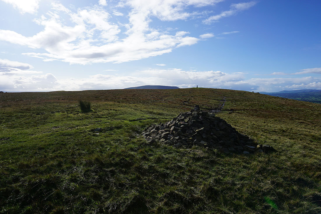
Pendle Hill and the trig point from the eastern end of the hill
Great Whernside in the distance on the left, Barden Moor, Pinhaw Beacon on the right, and Barnoldswick below
Looking north to Ingleborough, Penyghent, and the moors above Settle
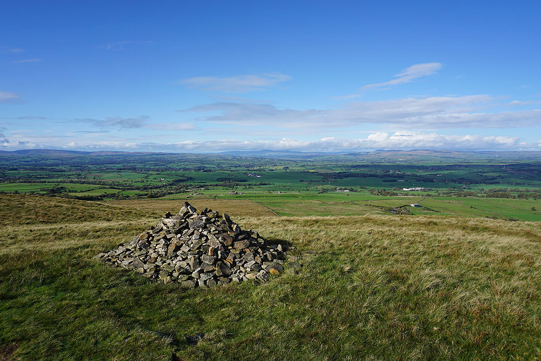
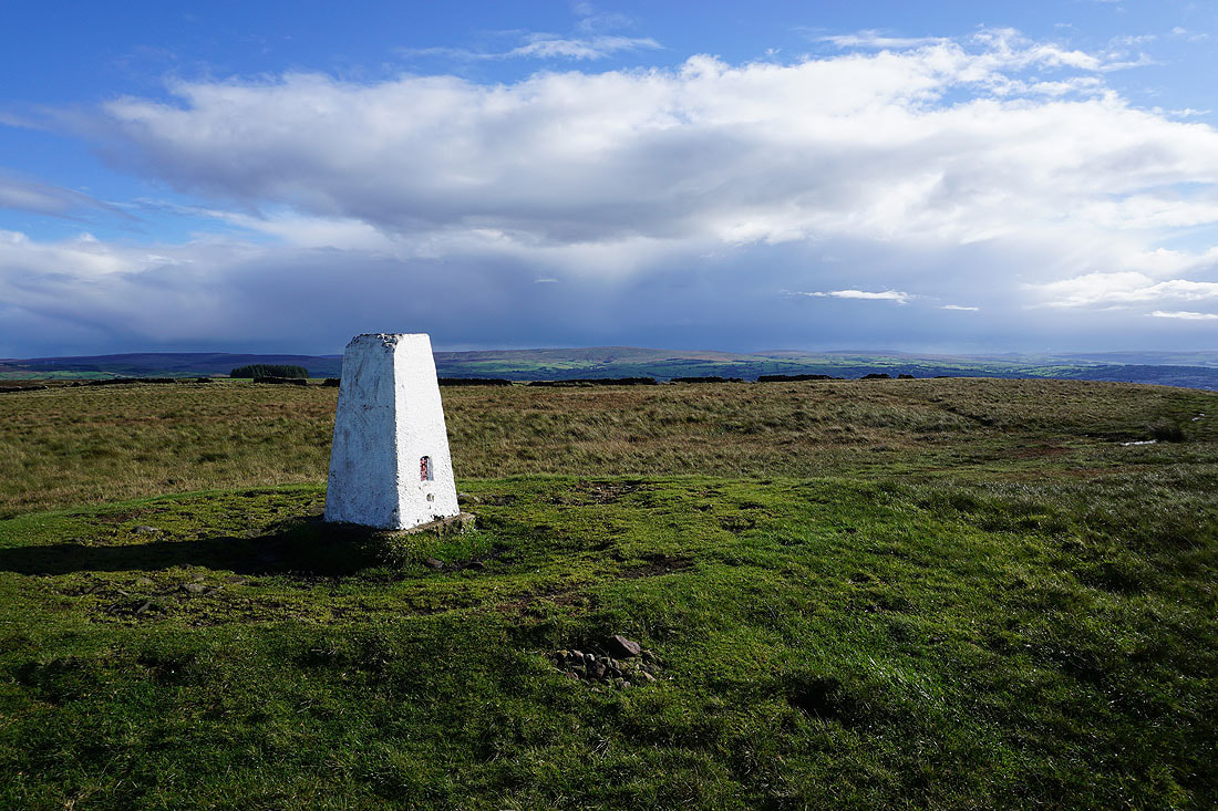
Pendle Hill from the trig point on Weets Hill
Boulsworth Hill in the distance to the south
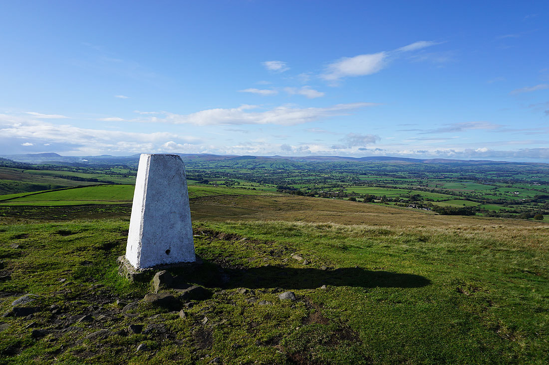
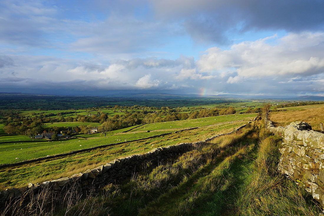
and looking across the Ribble Valley to the Forest of Bowland
Ingleborough and Penyghent in the distance to the north

Pinhaw Beacon, Thornton Moor, Bleara Moor, and Kelbrook Moor to the east
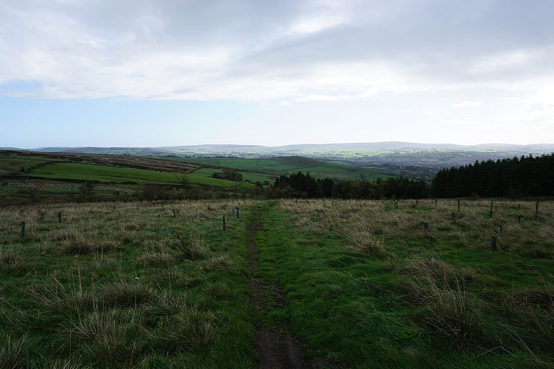
Having returned to the Pennine Bridleway, I follow it north towards Gisburn...
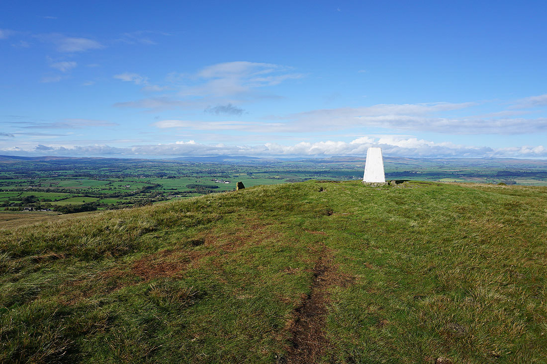
Looking back to Weets Hill
Heading north along the Pennine Bridleway before..
|
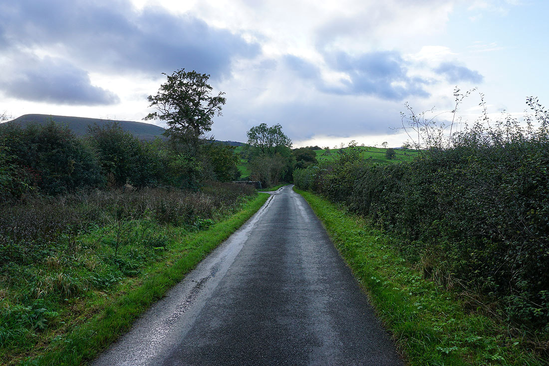
..I walk west along Howgill Lane
|
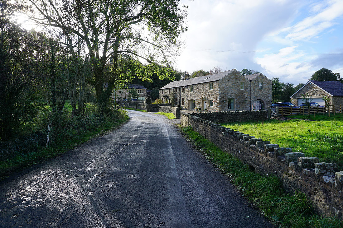
Having crossed the A682, I walk west along Howgill Lane through the hamlet of Howgill..
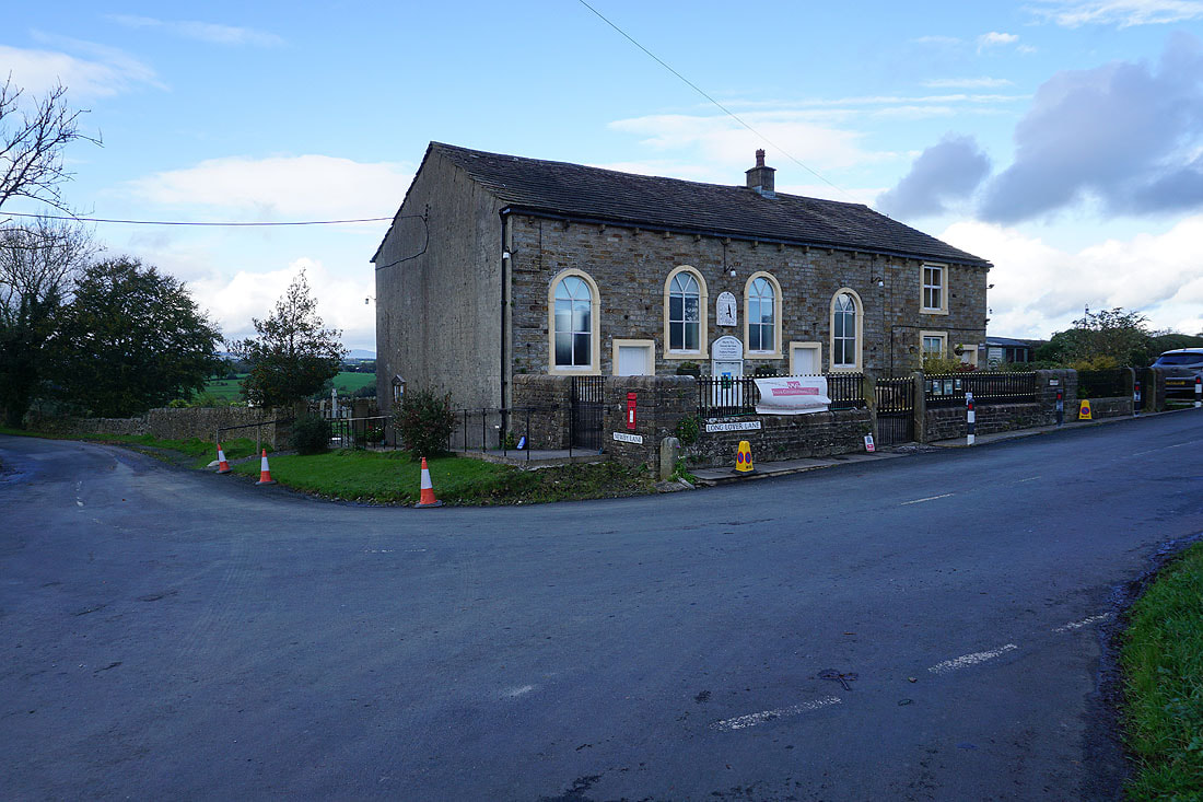
Salem Chapel at the corner of Newby Lane and Long Lover Lane as I take Martin Top Lane
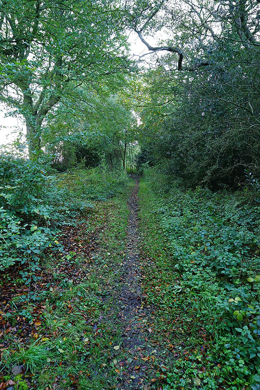
On the bridleway of Side Lane
I briefly walk west down Skeleron Lane
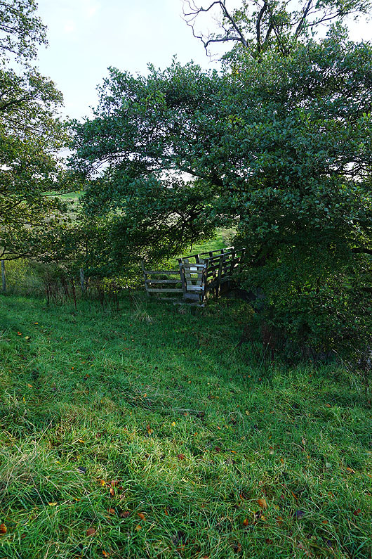
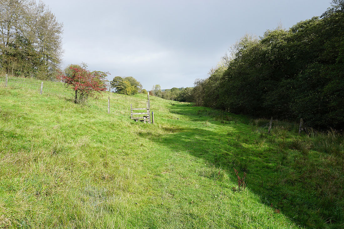
A footbridge to cross over Ings Beck as I follow a footpath up through fields to Clough Head Farm, and the western end of Rimington Moor
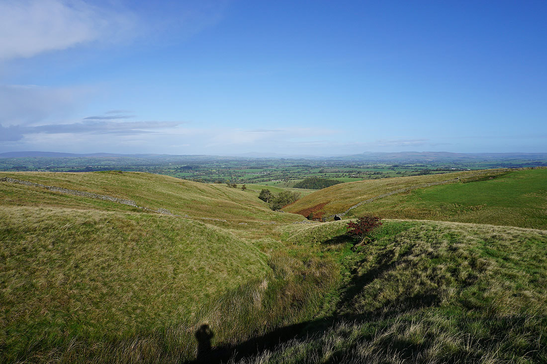
An improving view to the north to the Forest of Bowland and the Yorkshire Dales as I gain height...


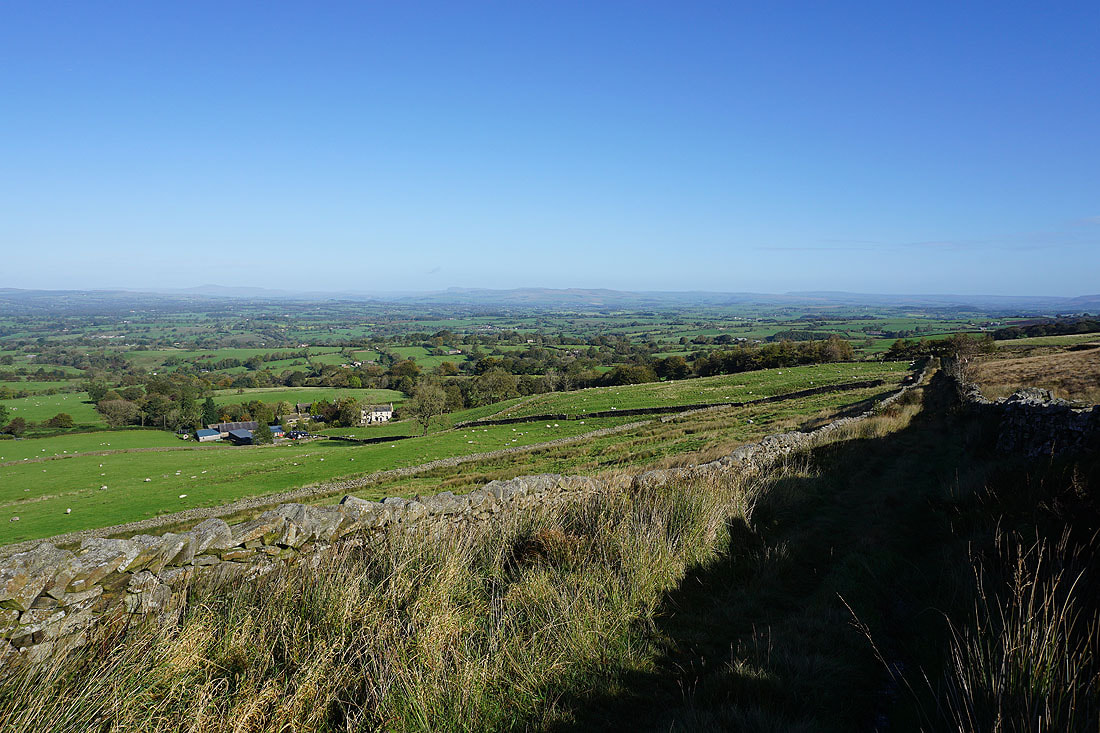
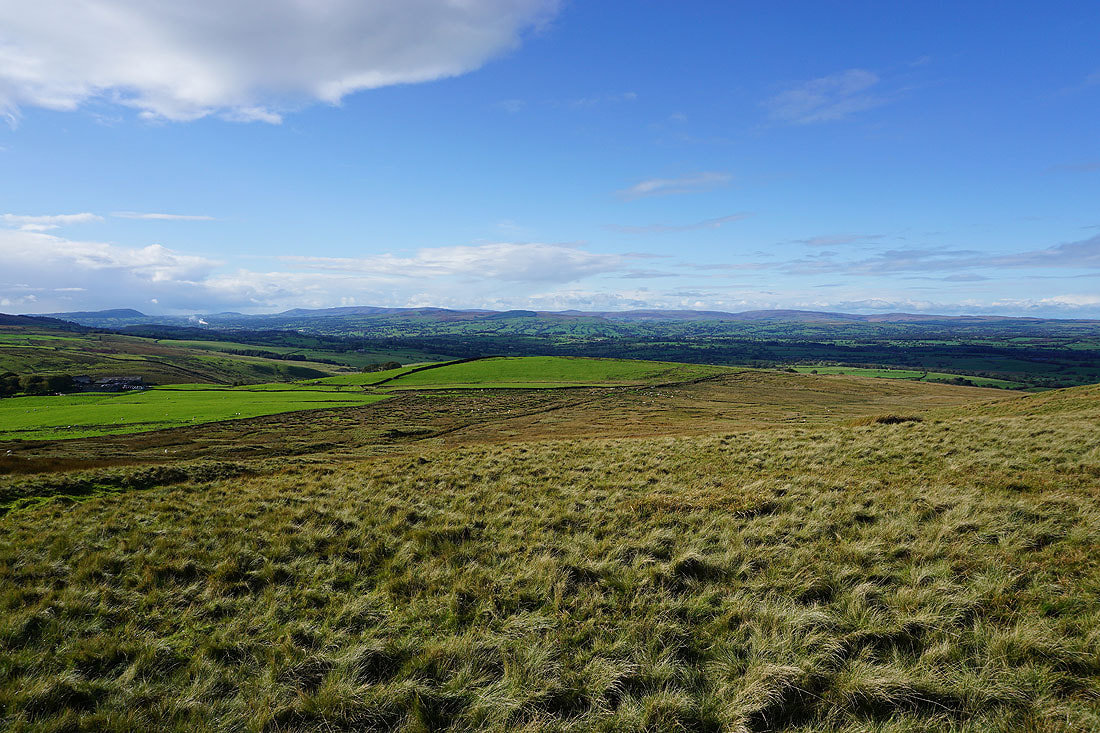
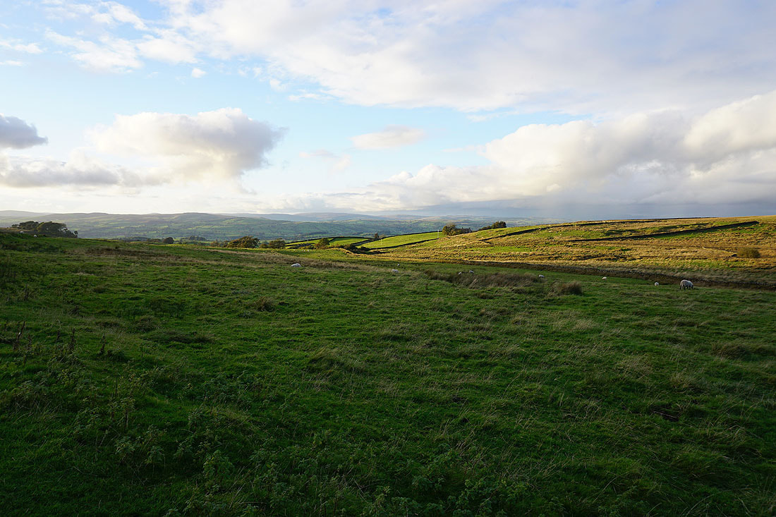
Looking across the Ribble Valley to the Forest of Bowland from the western end of Rimington Moor
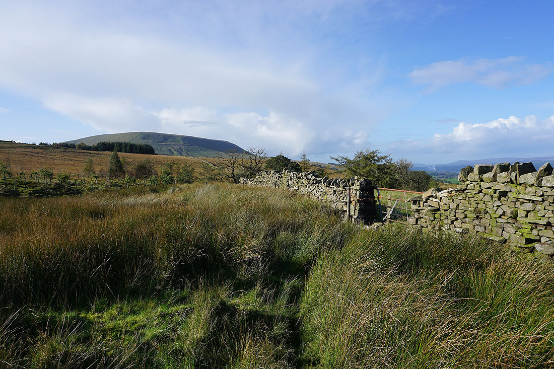
Pendle Hill ahead as I take the footpath up onto Twiston Moor
Great views across the Ribble Valley to the Yorkshire Dales, and to the Forest of Bowland in the late afternoon autumnal sunshine..
A view of Pendle Hill from the footpath from Twiston Moor to Coolham..
A last look across to the Forest of Bowland as I walk back along Black Moss Road