14th September 2013 - Sugarloaf Mountain, Catskills, NY, USA
I'm in the US again for more training at my employers site in Shelton, Connecticut. This time I've arranged to do some hiking in the Catskill Mountains in the neighbouring state of New York for my weekend stay. On Friday afternoon I drove to the town of Woodstock where I'll stay for the weekend.
The Catskills are forested all the way to their summits so extensive vistas are few and far between, however there is great hiking to be had on well marked trails.
The Catskills are forested all the way to their summits so extensive vistas are few and far between, however there is great hiking to be had on well marked trails.
The map shows the summit of Sugarloaf Mountain. I followed the trail round in an anticlockwise direction.
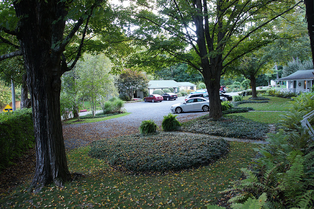
Late Friday afternoon and I've arrived at my accommodation for the weekend, The Woodstock Inn on the Millstream. The view from the veranda outside my room.
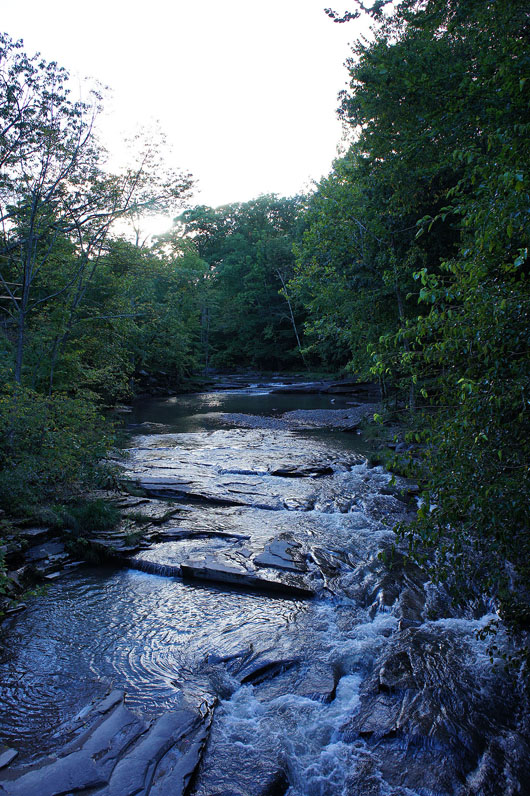
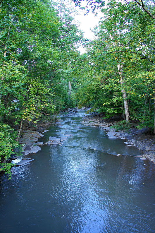
The Millstream that runs by right next to the inn. Looking upstream and..
..downstream
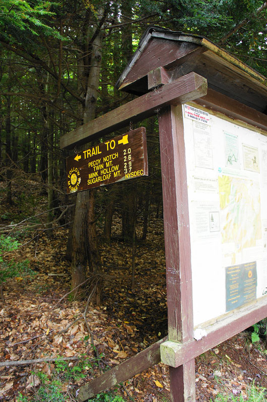
Saturday lunchtime and I've arrived at the parking area on Roaring Kill Road for the hike up Sugarloaf Mountain (3800')
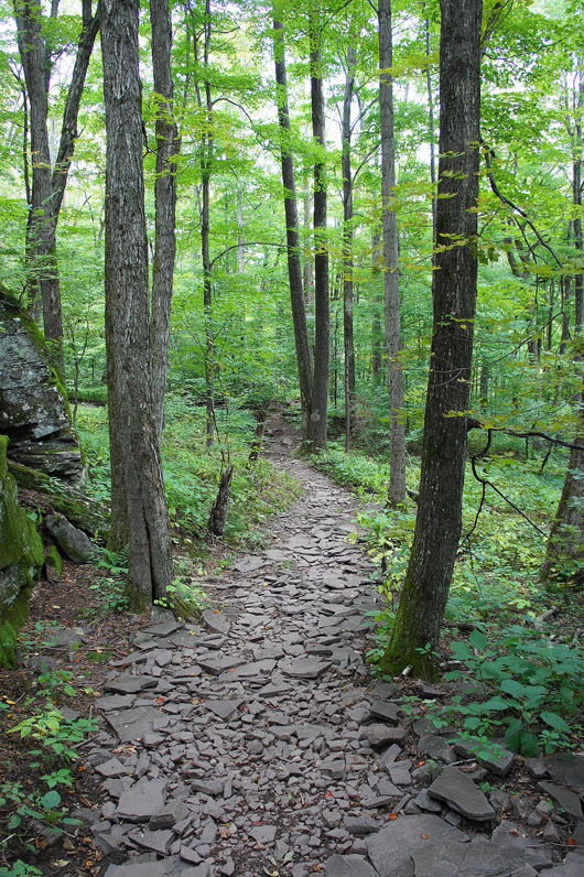
Not the only shot I'll be taking today of following the trail through the forest
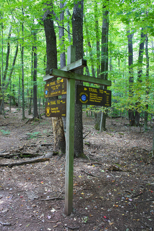
I soon reach this marker post where the trail splits. I'm taking the branch to the right that heads west. My return route will see me back at this spot via the left hand trail.
As I head uphill there are regularly spaced markers on the trees to help you follow the trail
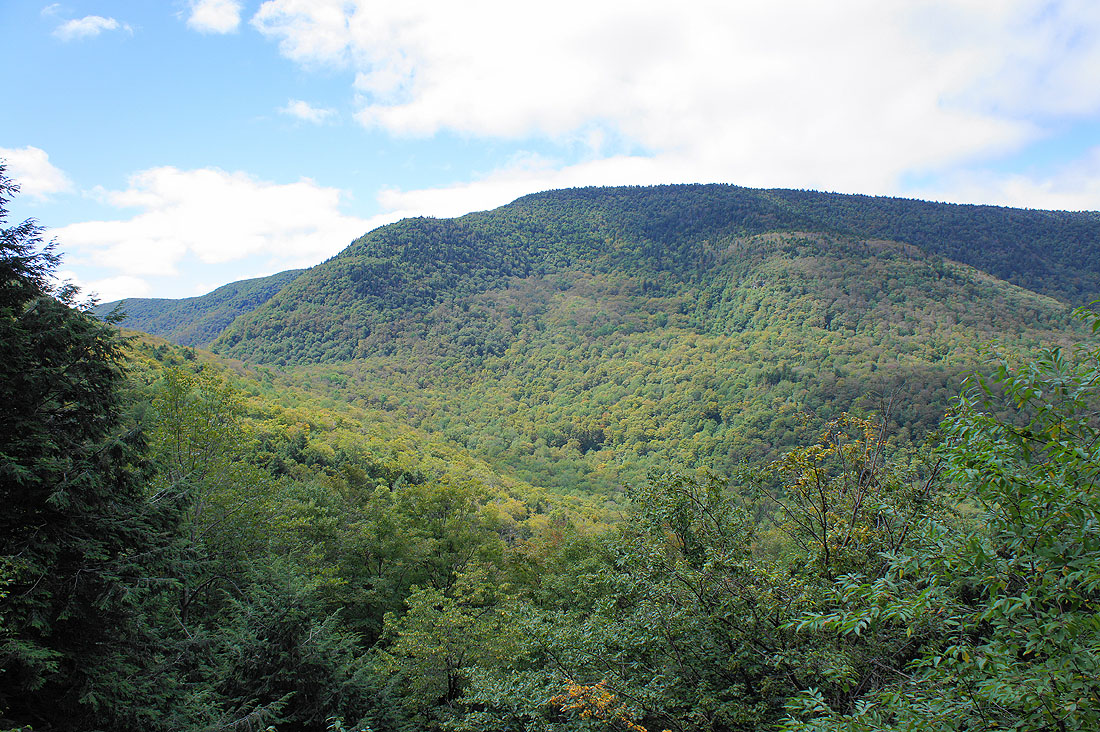
A break in the canopy allows me to see the neighbouring Plateau Mountain across Mink Hollow
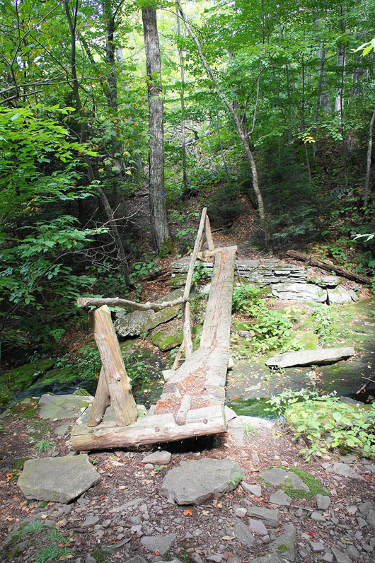
An interesting footbridge to cross but obviously deliberately built that way
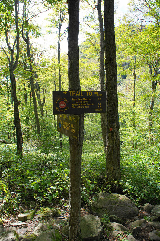
Another meeting point of trails and this time I'm turning left to head for the summit. There's a mile to go and 1200' of ascent.
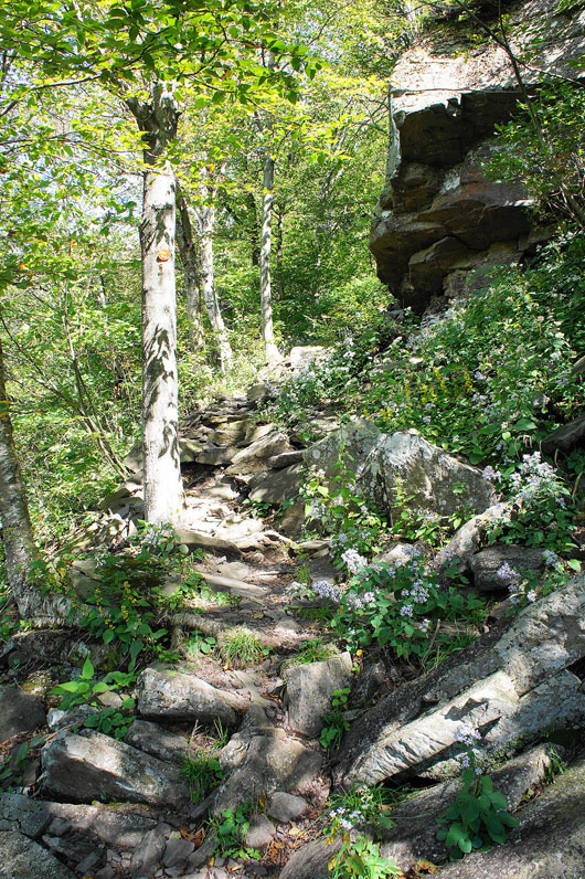
Steep and rocky in places
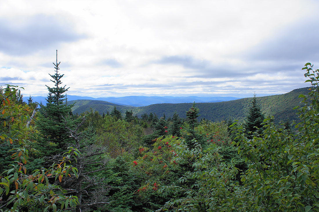
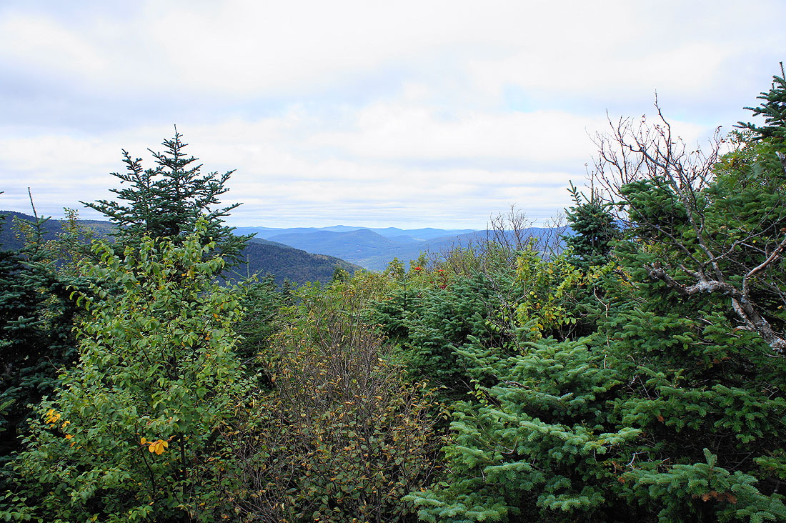
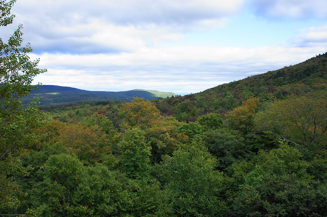
I'm not at the summit but in anticipation of there being no view I took the opportunity of taking a couple of shots looking west across the Catskills from a large boulder not far below it..
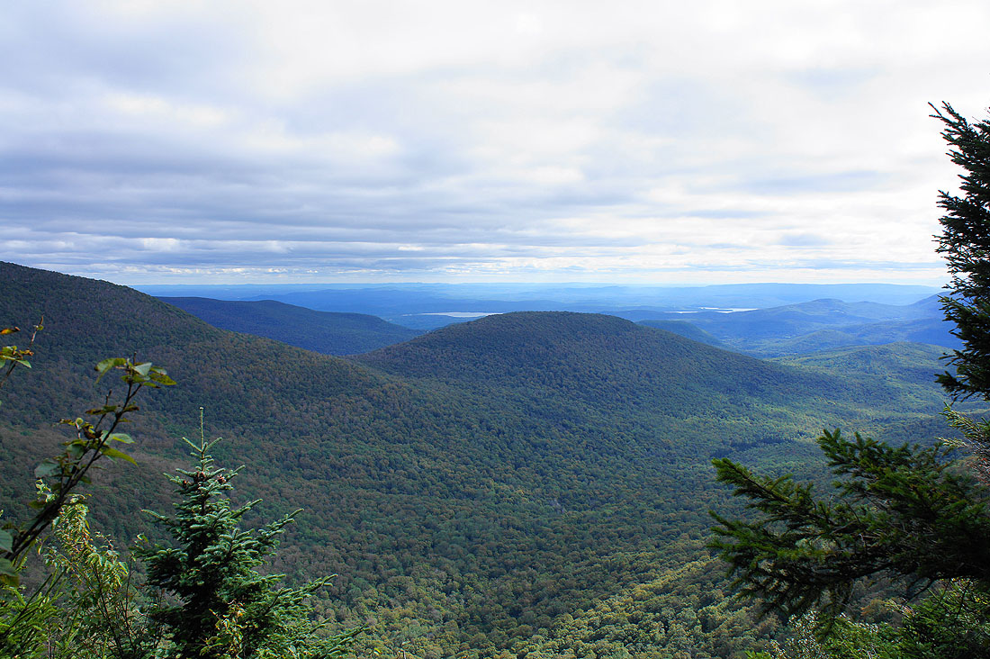
The summit has been conquered and there was no view. I'm making my way down now and a gap in the trees allows me to take a picture of the view to the south. The hill mid-distance is a subsiduary top of neighbouring Twin Mountain and the patches of water are glimpses of the Ashokan Reservoir.
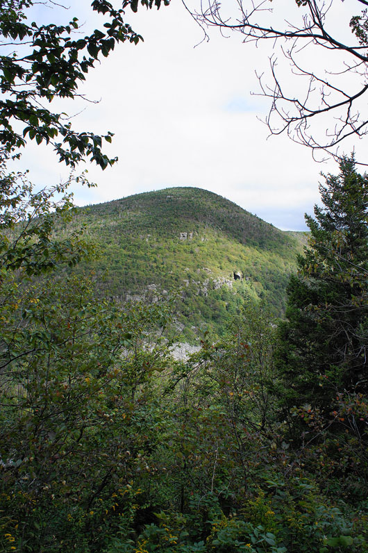
The neighbouring Twin Mountain
The summit of Sugarloaf Mountain above
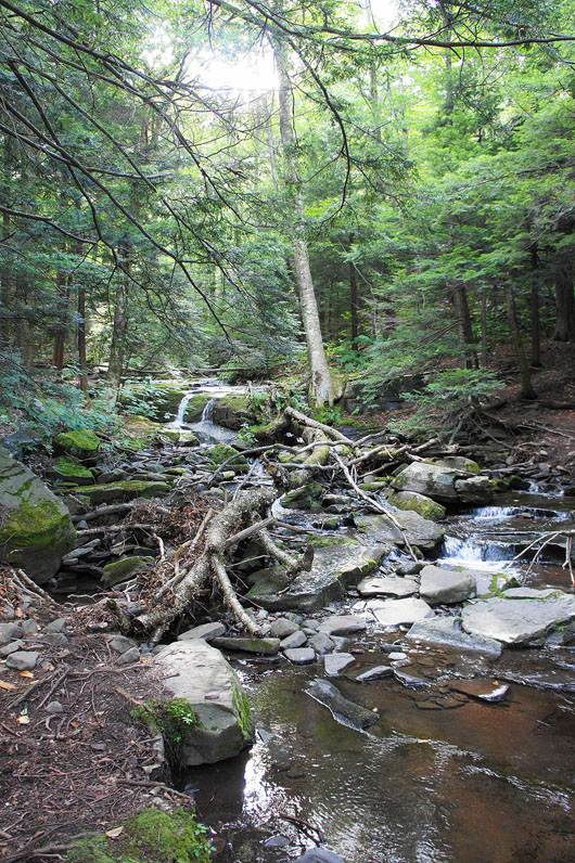
A creek to be forded
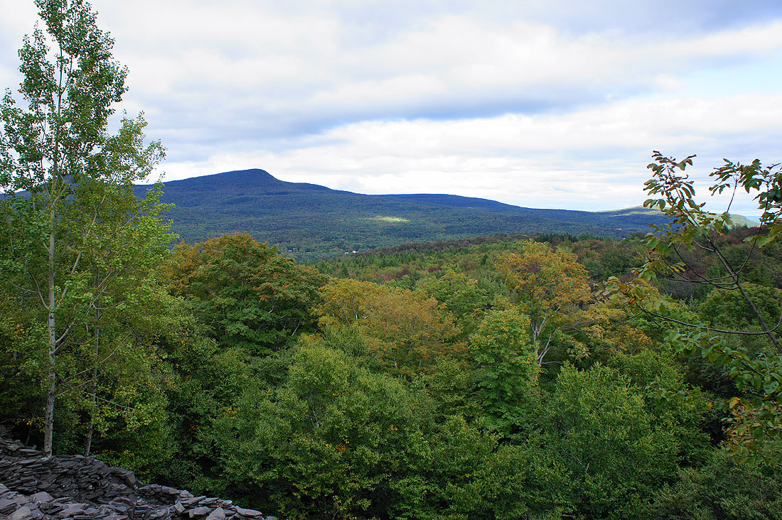
Some small scale quarrying on the northeast flank of the mountain has meant a gap in the trees for as view in that direction..
Almost back to where I'm parked
