14th September 2016 - The Langdale Pikes
Walk Details
Distance walked: 6.2 miles
Total ascent: 2532 ft
OS map used: OL6 - The English Lakes, Southwestern area
Time taken: 7 hrs
Route description: NT car park, Stickle Barn-Mark Gate-Loft Crag-Pike of Stickle-Thunacar Knott-High Raise-Codale Head- Sergeant Man-Stickle Tarn-Stickle Gill-NT car park, Stickle Barn
Today's walk in the Lake District was a treat to myself and with my last visit five months ago a trip up here is certainly more of one than it used to be. I had two destinations in mind, the first one was to tackle some of the far eastern fells from Hartsop in Patterdale or head for Langdale and bag the two remaining Langdale Pikes that would count towards my second round. In the end I decided on the latter. The route from Hartsop had too many ups and downs for my liking on such a warm and humid day, whereas the one from Langdale had just the one big ascent at the start. That was more than enough, even at 11 o'clock in the morning it felt uncomfortably warm climbing up the Mark Gate path to Loft Crag. With no breeze at all I had to stop a few times to try and cool down. It was a lovely early autumn day for being on the fells though. Most of the time there were sunny spells though quite hazy but early in the afternoon the cloud briefly built up and dropped a shower on the southern and western fells. It just missed me (I almost wished it hadn't). A bit of a breeze picked up once this cleared, so the second half of the afternoon felt nicer and it shifted the flying ants. With it being a relatively short walk compared to what I've done recently I could take my time wandering round and taking in the views from each of the summits.
After parking in the National Trust car park I made my way to the gate at its rear and onto the trail of the Cumbria Way. This was soon left though for the Mark Gate footpath that initially climbs by Dungeon Ghyll, up to the top of Loft Crag. Lunch was taken here and then it was on to the next summit of Pike of Stickle. Those were the two Wainwrights that counted towards my second round. From Pike of Stickle I then crossed the depression of Harrison Combe to reach Thunacar Knott and then it was north to High Raise. After taking another break here it was time to start heading back to Langdale. First, by visiting Codale Head and Sergeant Man on the southeastern slopes of High Raise, and then by taking the path from Sergeant Man down to Stickle Tarn and the path down Stickle Gill back to the car park.
Route map
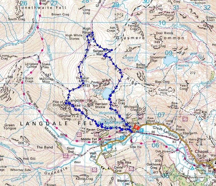
© Crown copyright. All rights reserved. License number PU 100034184.
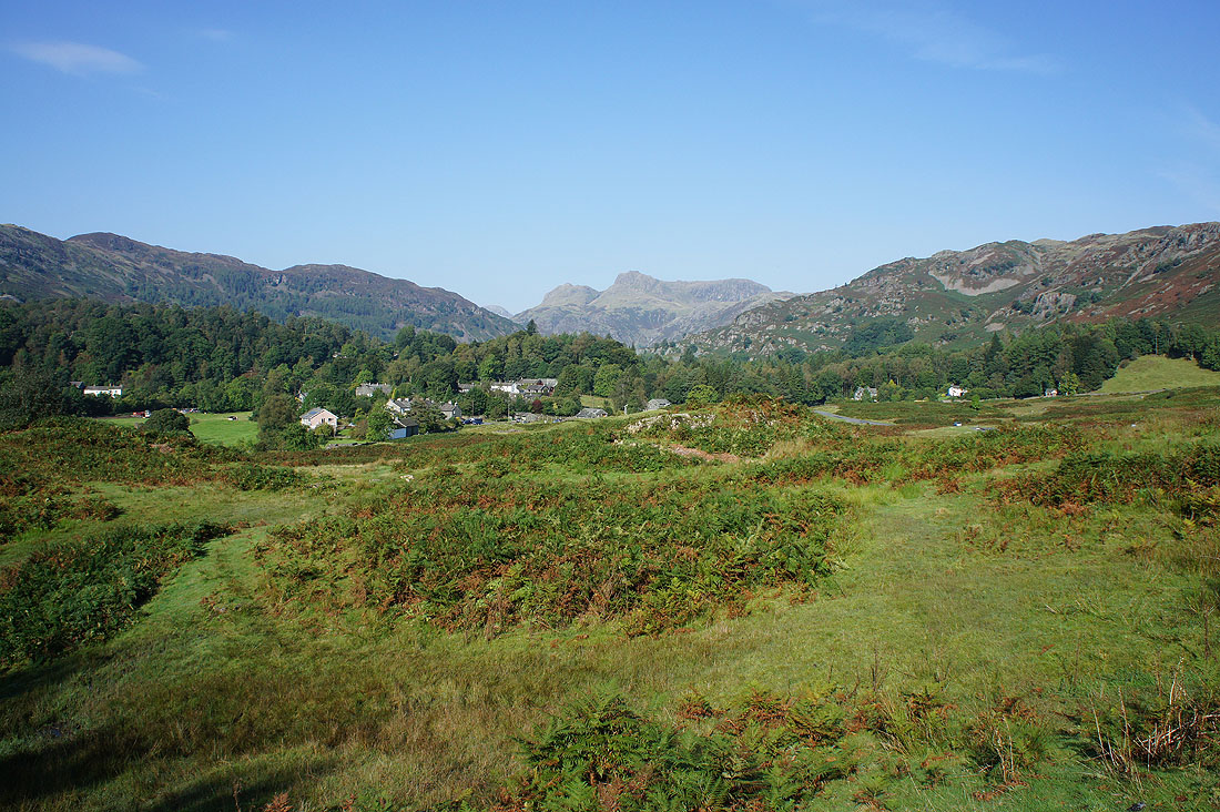
I had to pull over just outside Elterwater to take a shot of the Langdale Pikes
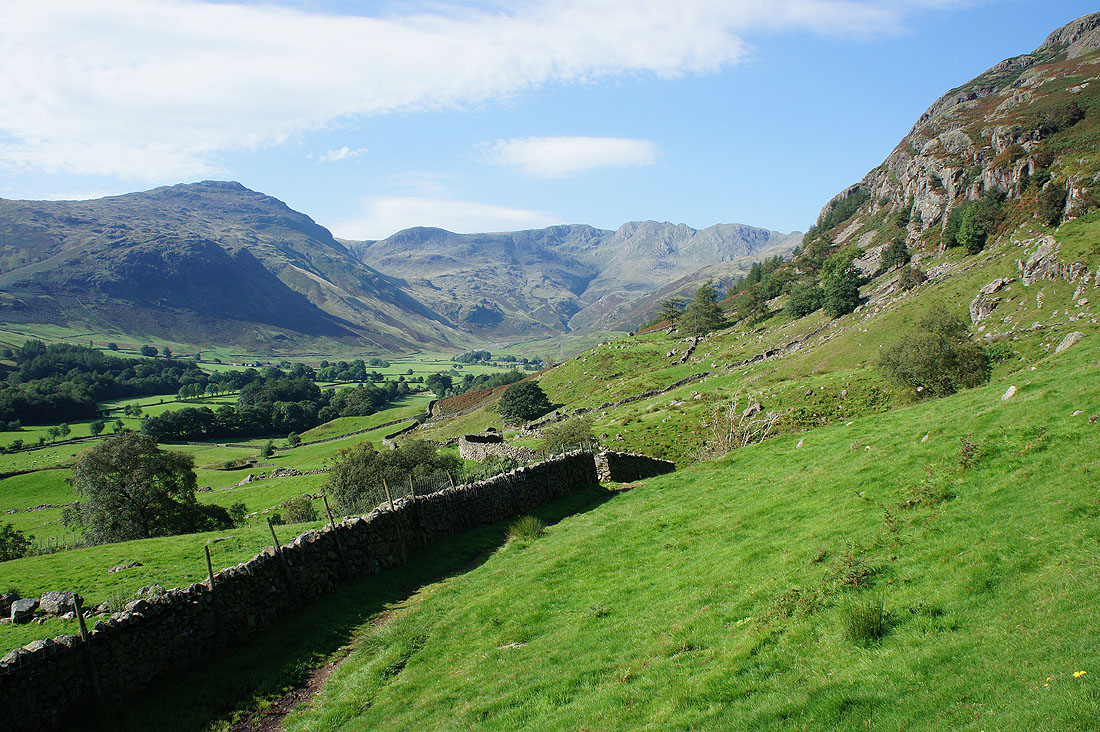
Pike o'Blisco and the Crinkle Crags as I start the climb up the Mark Gate path
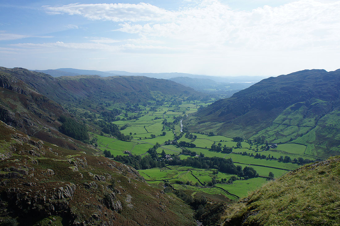
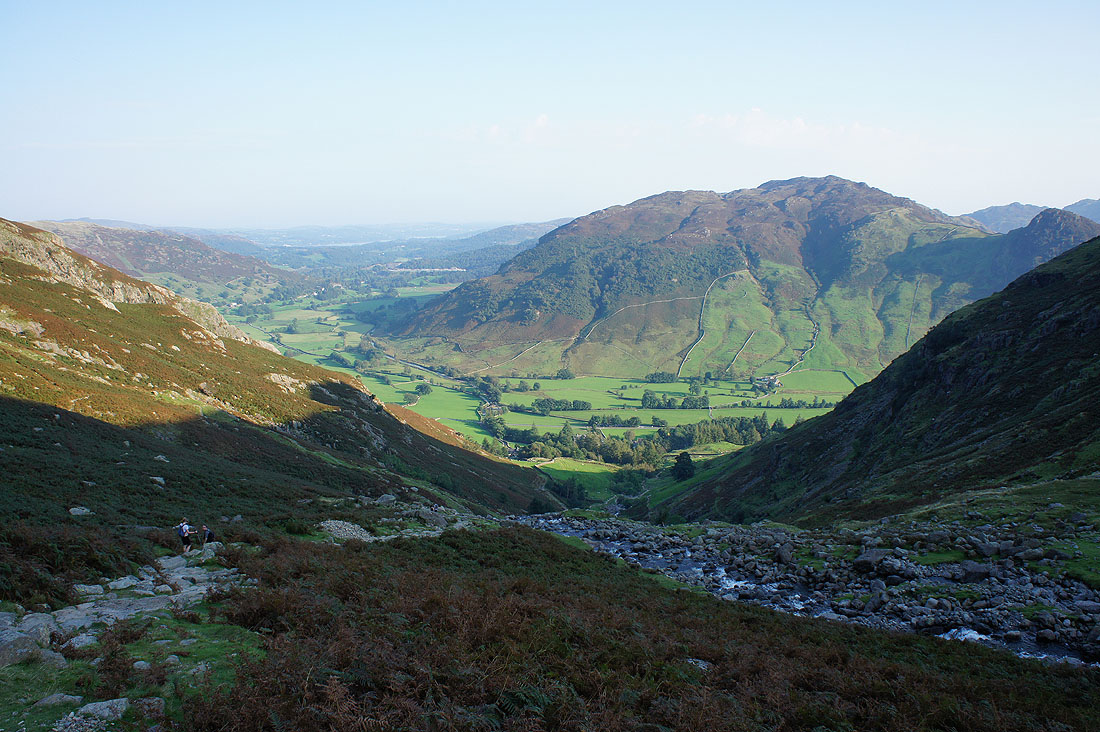
Looking back down on Langdale
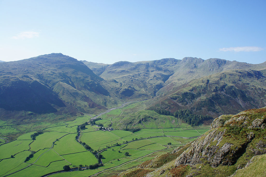
A bit higher up and I have a view across to Pike o'Blisco, Stool End Farm, Oxendale and the Crinkle Crags
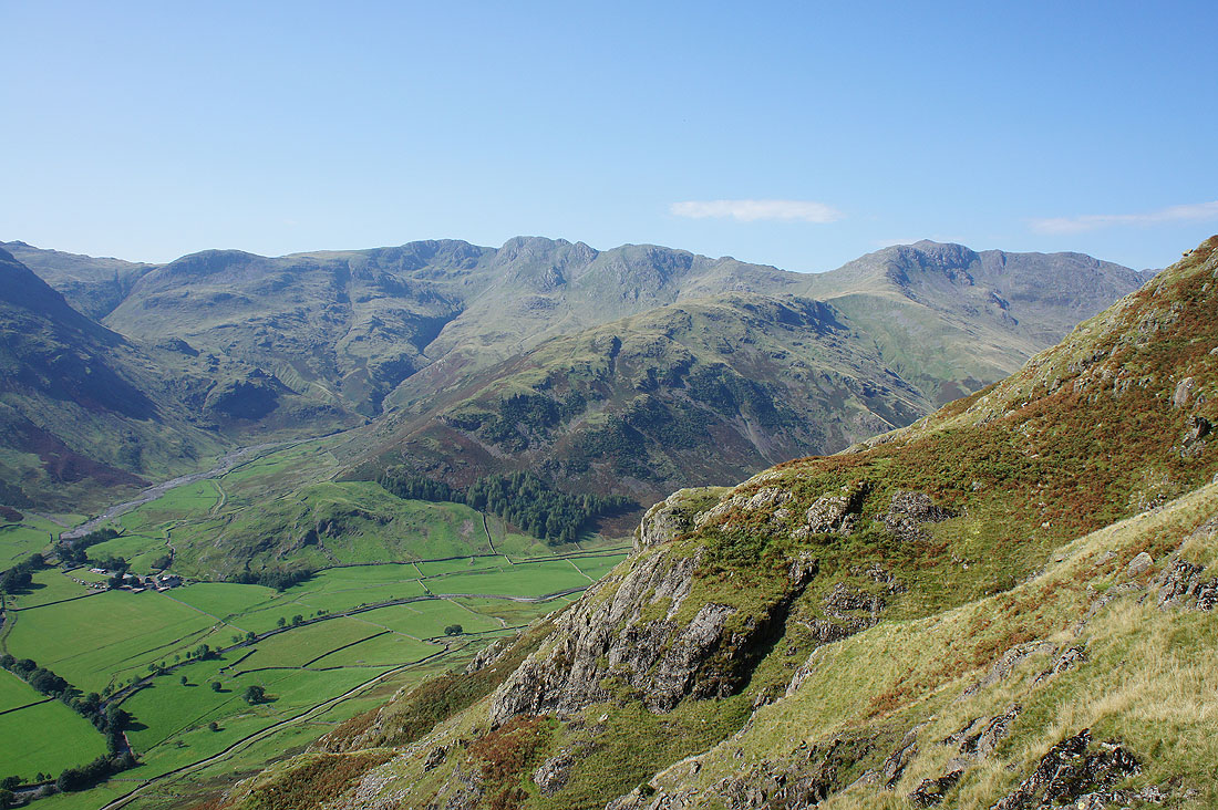
A bit to the right and Bowfell is there as well
I gratefully reach a pause in the climb. It's so warm and humid that I'm at risk of overheating as there isn't a breath of wind to help me cool down.
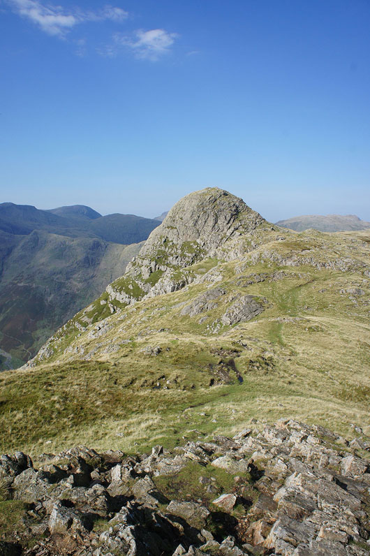
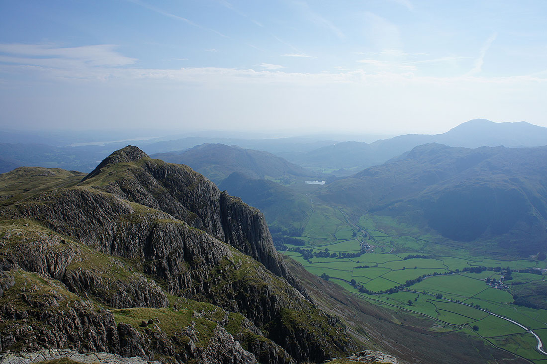
Looking across to the distinctive top of Pike of Stickle as I approach my first summit of the day, Loft Crag
Langdale leads the eye down to Windermere from the top of Loft Crag. It was a nice quiet spot for lunch despite the flying ants which are out in force today.
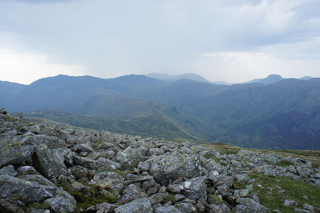
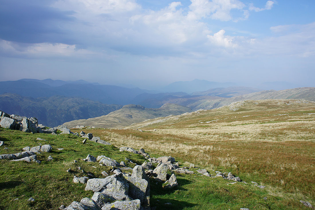
Bowfell, Esk Pike, Great End, Allen Crags, Great Gable and Pike of Stickle
Pike of Stickle and Glaramara with hazy northwestern fells beyond
Looking across the gulf of Mickleden to Crinkle Crags and Bowfell
Harrison Stickle on the left and Thorn Crag below. In the middle of the photo the Blea Rigg ridge heads to Silver How and Loughrigg Fell.
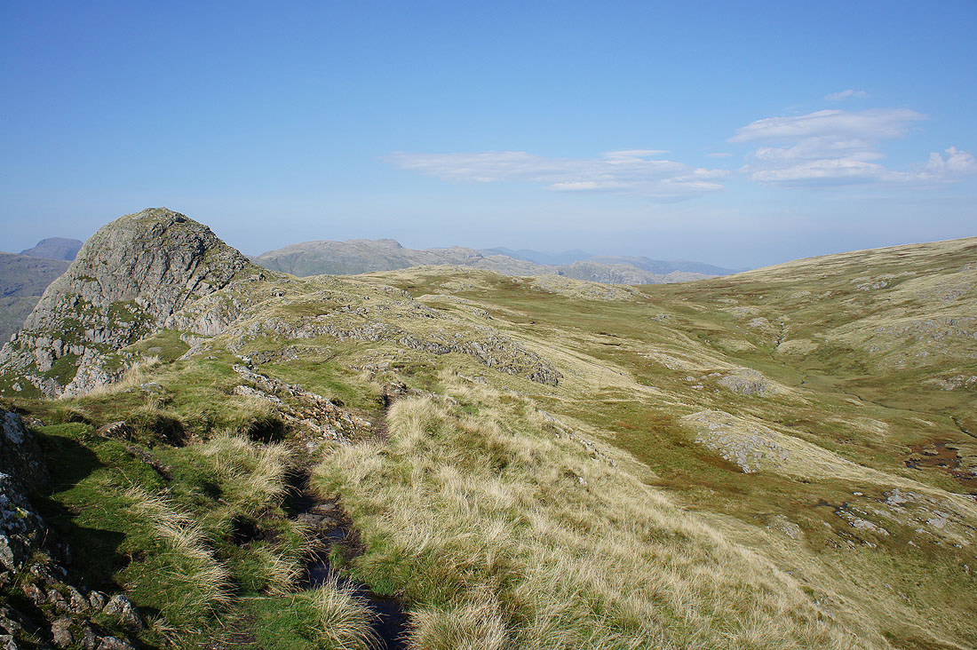
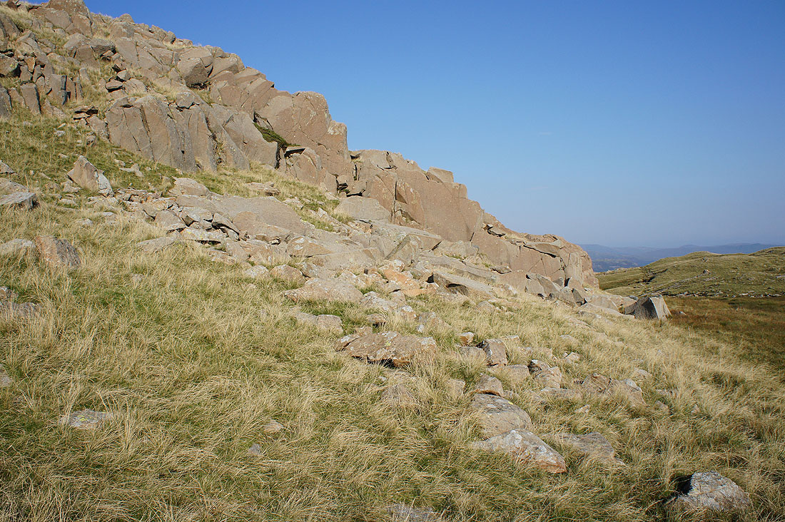
Crossing the top of the scree run between Loft Crag and Pike of Stickle
On the summit of Pike of Stickle. Hopefully I won't get too many flying ants in shot as I take some photos of the view.
Loft Crag, Lingmoor Fell, Blea Tarn, Blake Rigg and the high fell of Wetherlam in the distance on the right
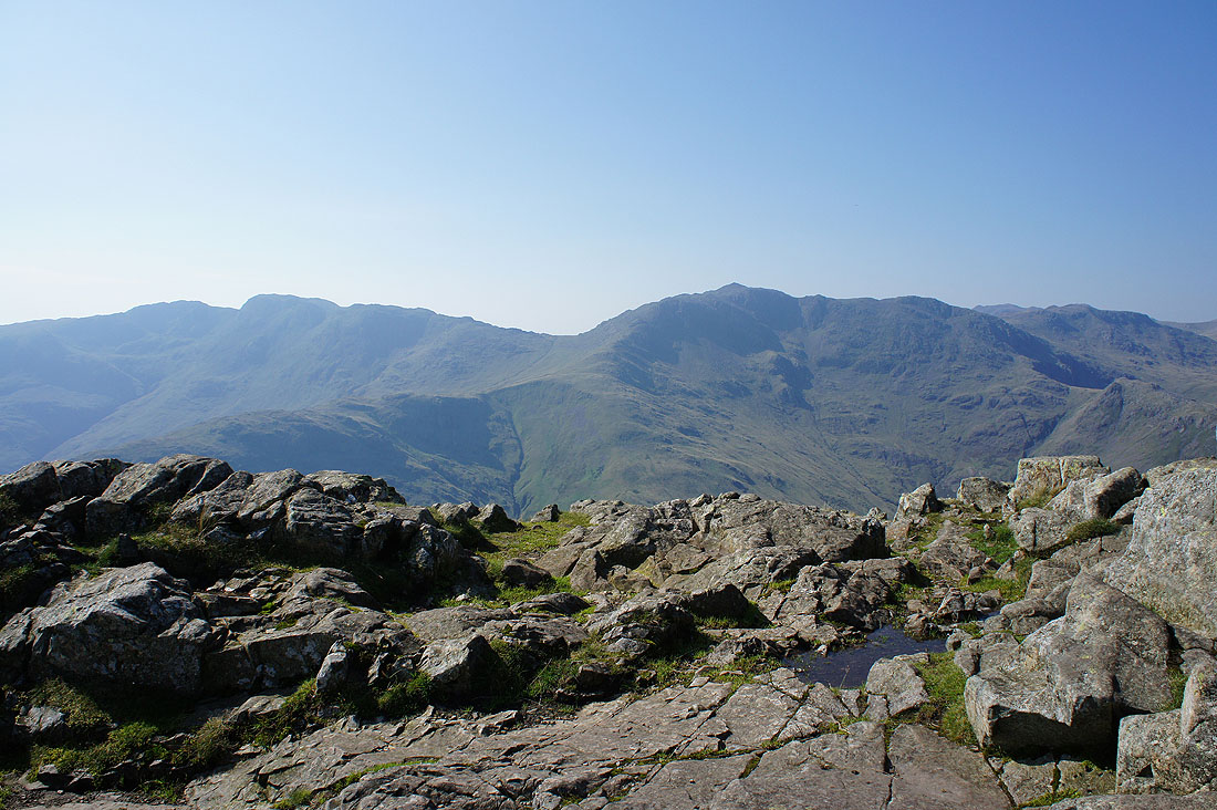
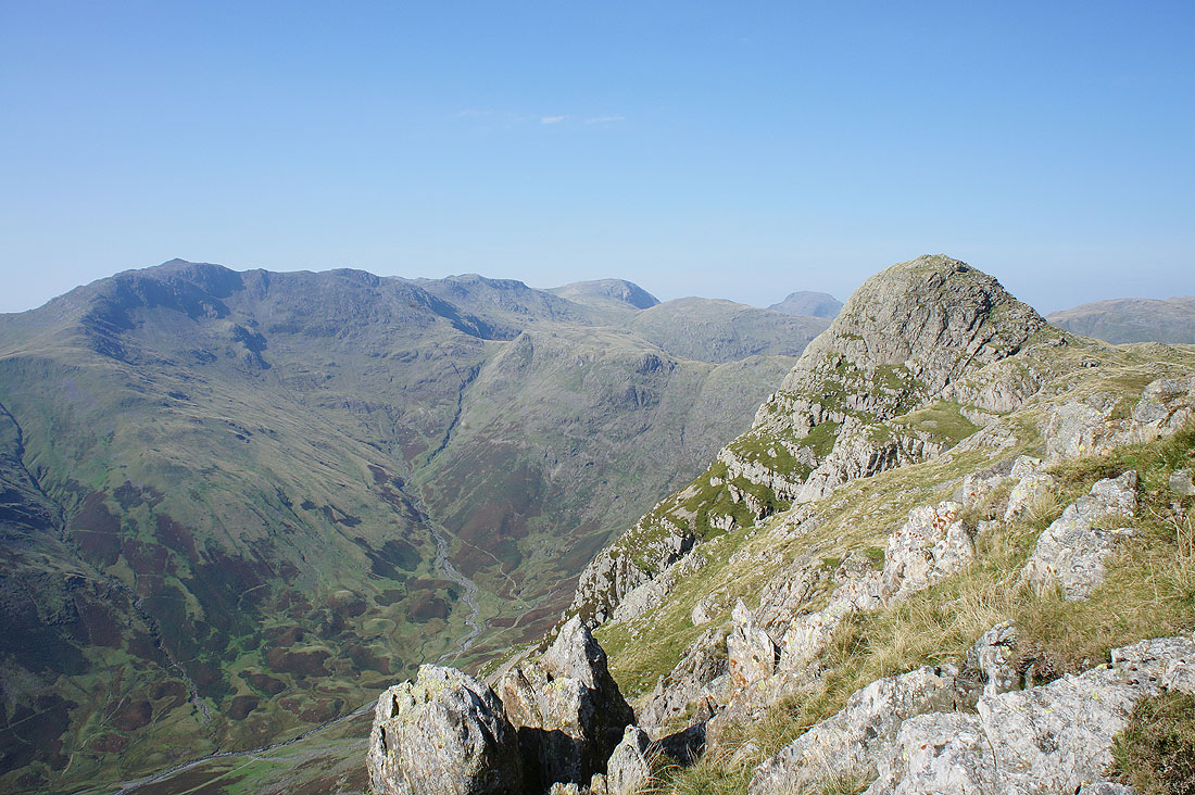
Crinkle Crags, Bowfell and Esk Pike
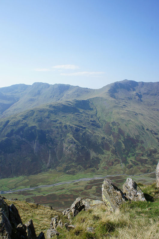
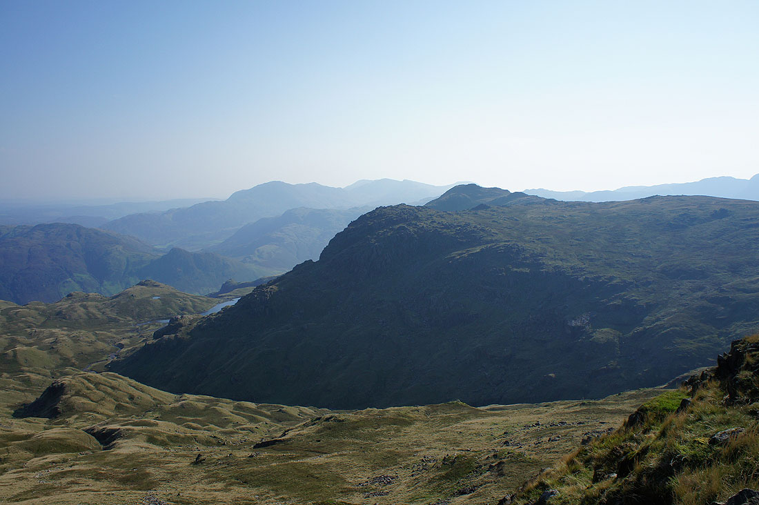
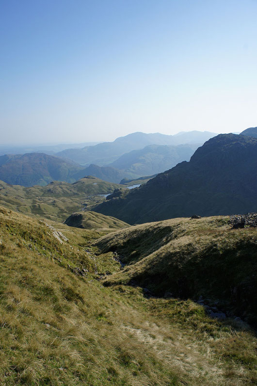
Glaramara and the depression carrying the Stake Pass across from Langdale to Langstrath
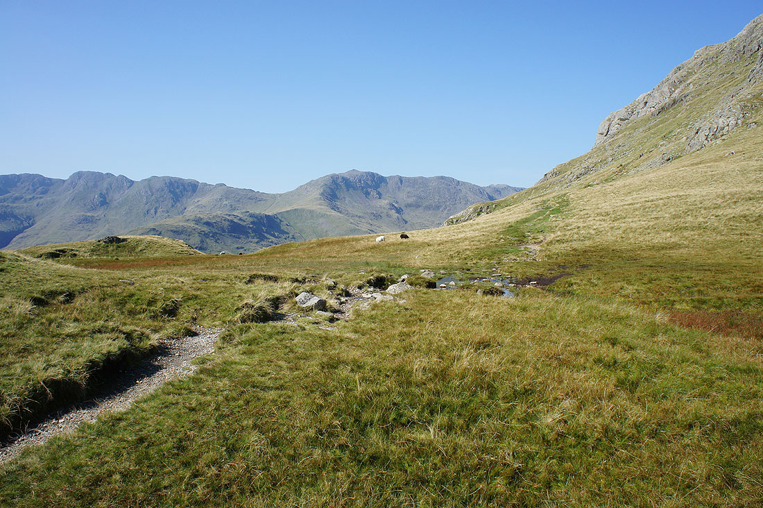
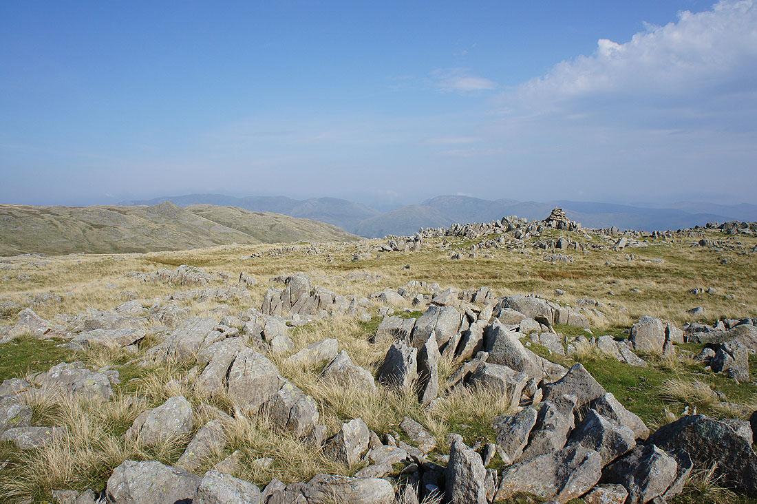
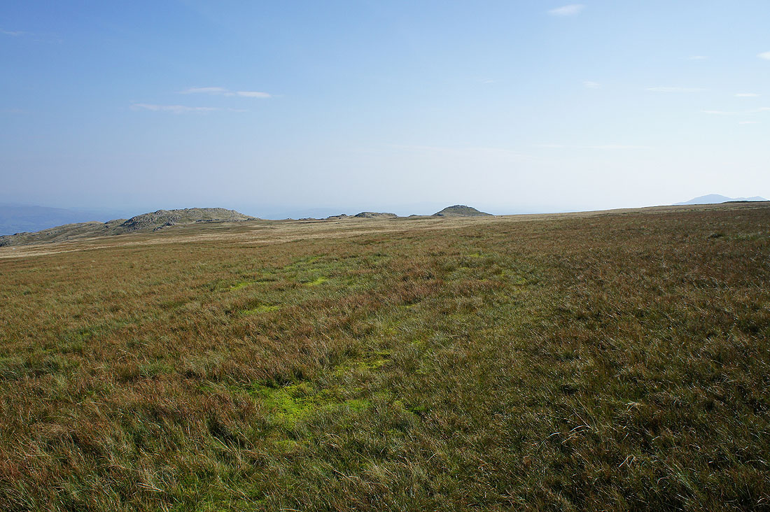
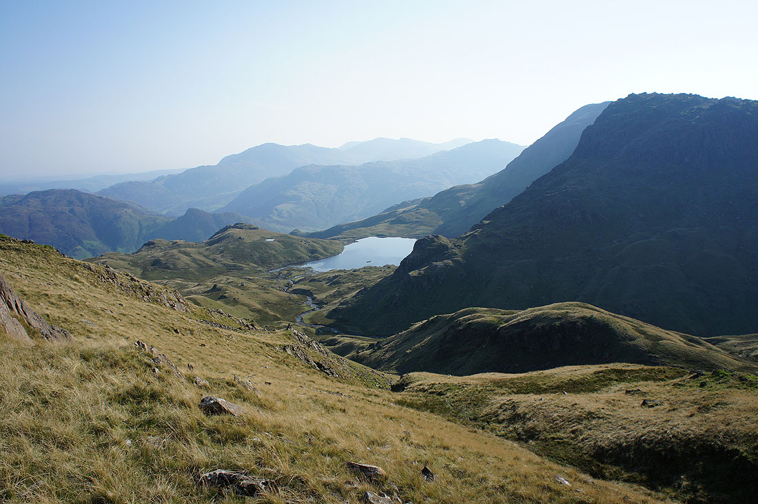
High Raise and Thunacar Knott across the depression of Harrison Combe
It doesn't take long for me to reach the next top of Thunacar Knott. Looking northeast to Sergeant Man with Helvellyn and Fairfield in the distance.
Great Gable and Glaramara
Dark clouds start to build up rapidly as I head for High Raise
and just twenty minutes later a shower is falling over the southern fells
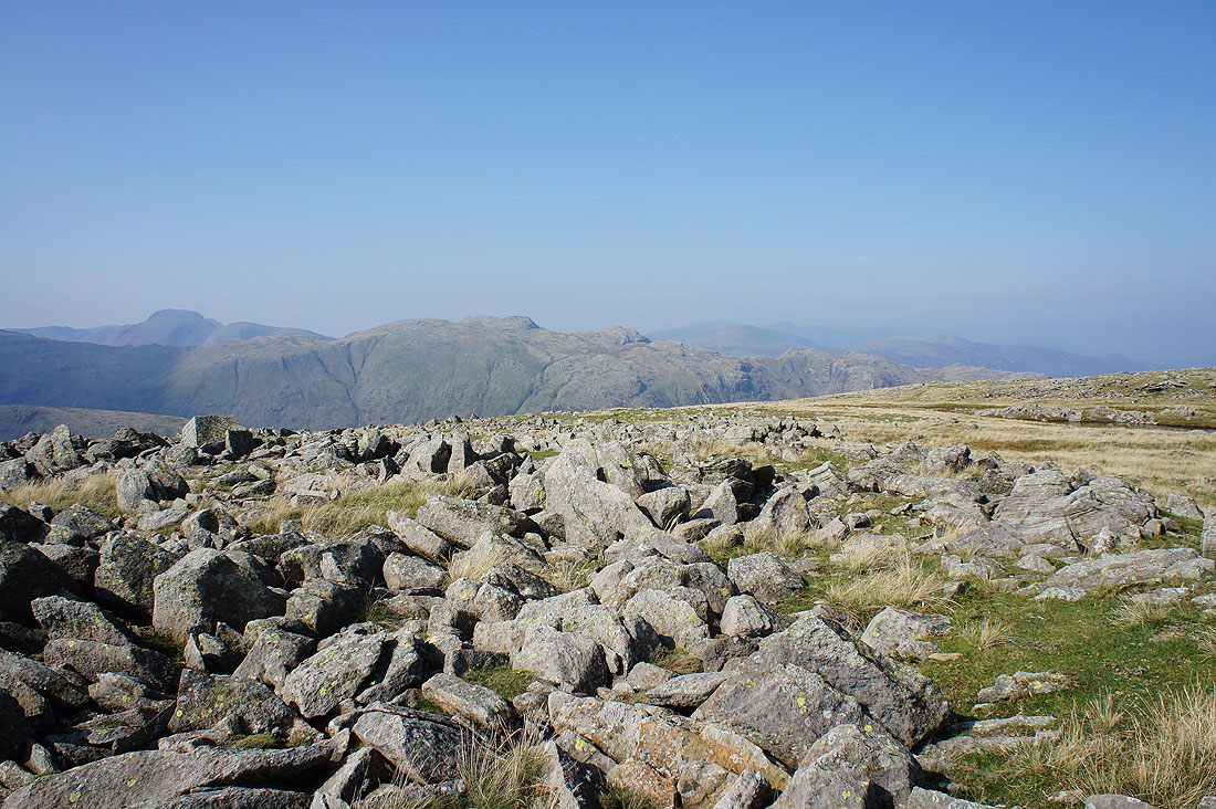
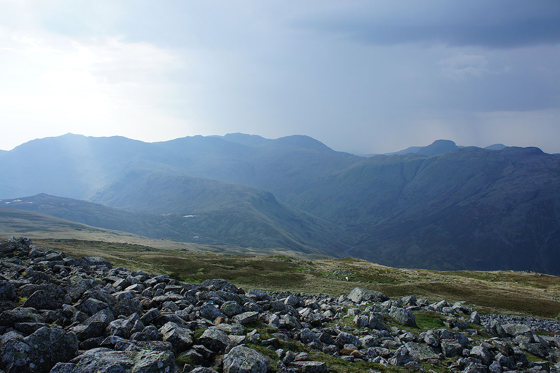
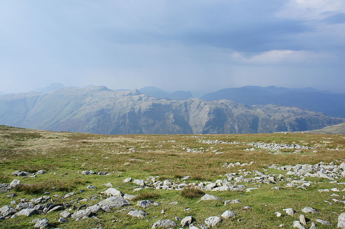
On High Raise and as I look up to Bowfell, Esk Pike and the head of Langstrath, a heavy shower is falling over the Scafells. I almost wish it was over here, it would be quite refreshing.
Dramatic skies to the northwest from the trig point on High Raise
As the shower moves further west and the sun reappears there's a big contrast between the dark shadows and the sunlit fellsides. Bowfell, Esk Pike, Scafell Pike, Great End and Great Gable to the west.
The contrast is even greater a few minutes later across Borrowdale to the northwestern fells and Skiddaw..
A sunlit Glaramara with Great Gable, High Stile, Fleetwith Pike and Grasmoor in the dark behind
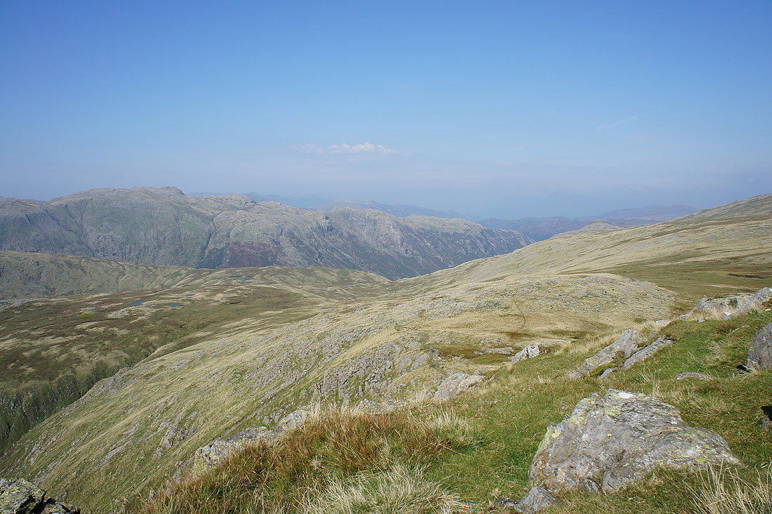
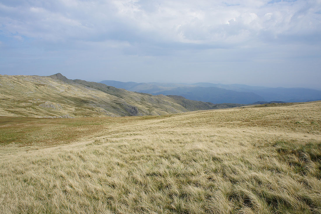
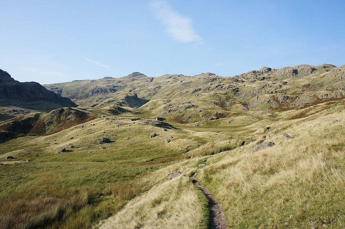
The central ridge heads north to Low White Stones, then right across Greenup Edge and on to Ullscarf
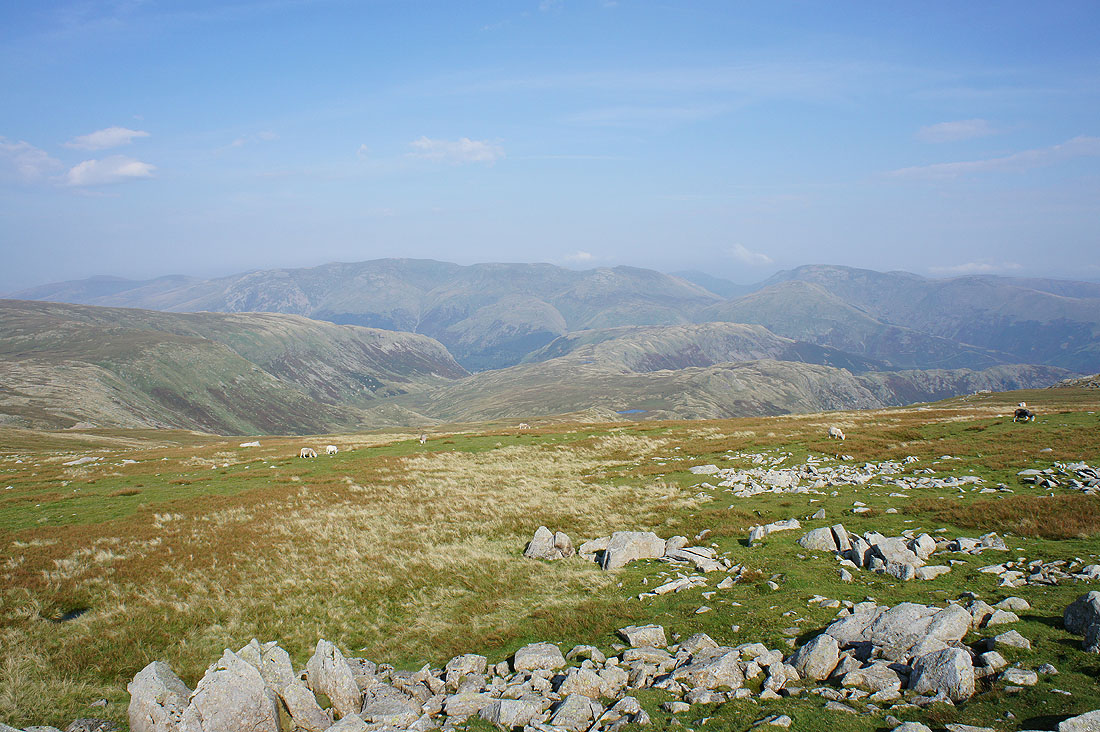
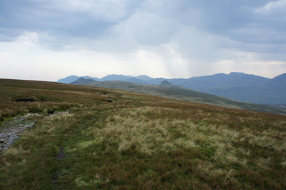
Helvellyn, Fairfield, Wythburn, Steel Fell and Calf Crag
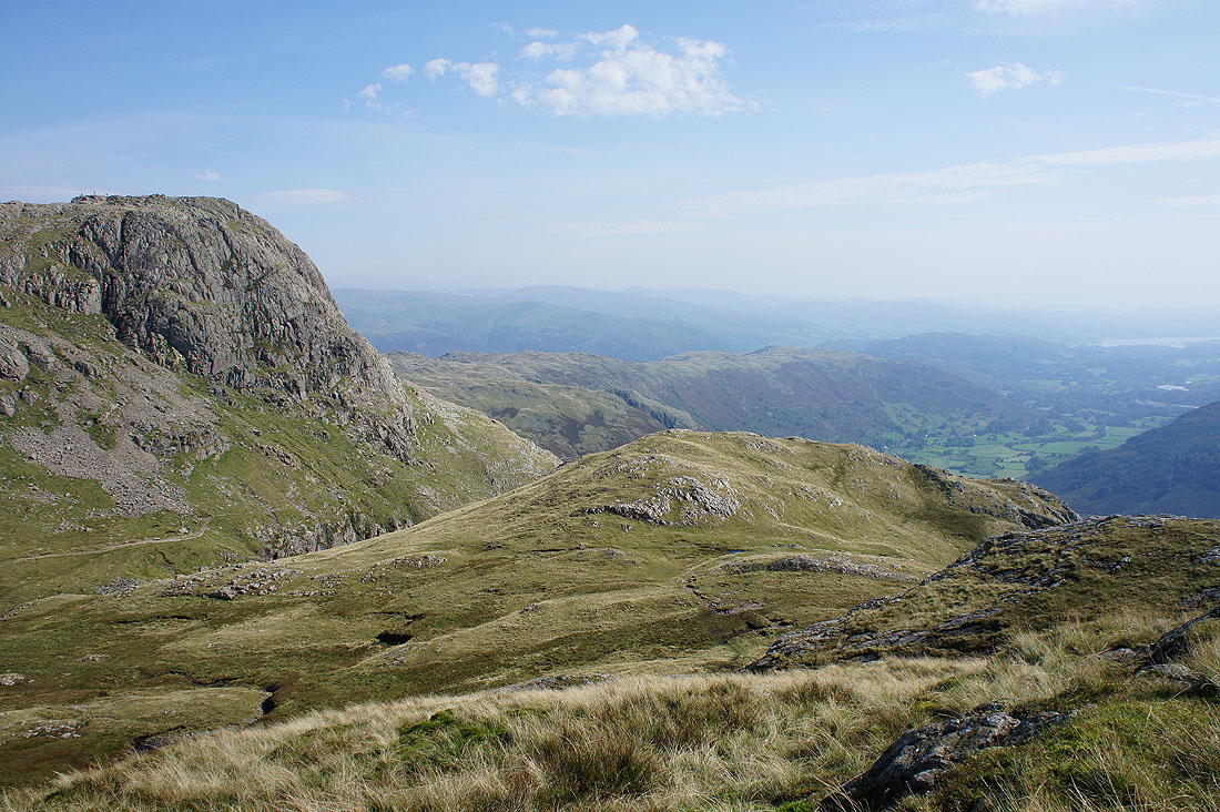
On my way from High Raise to Sergeant Man but first I'll pay the rocky outcrops of Codale Head (on the left) a visit
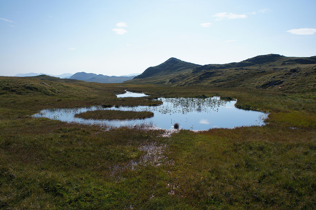
The pointed top of Sergeant Man behind an unnamed pool
Helvellyn, Nethermost Pike, Dollywagon Pike, Fairfield and Steel Fell from Codale Head. It's a lovely second half of the afternoon, especially with the breeze that has picked up. The flying ants have gone.
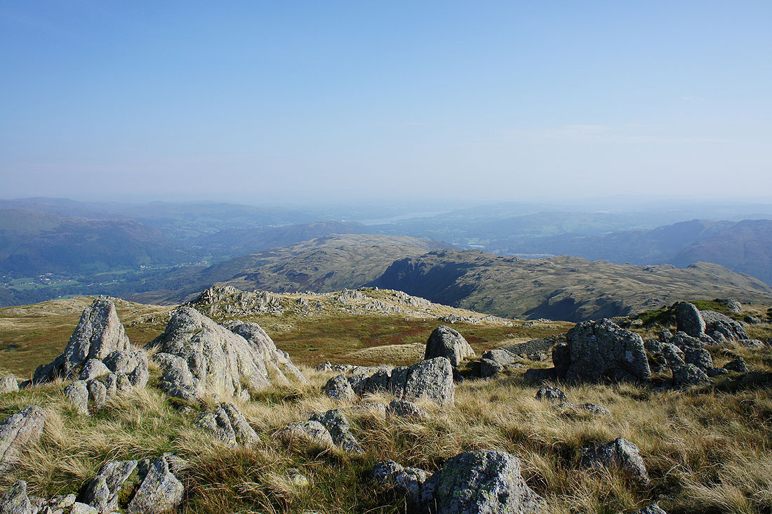
The Silver How to Blea Rigg ridge with Windermere in the distance
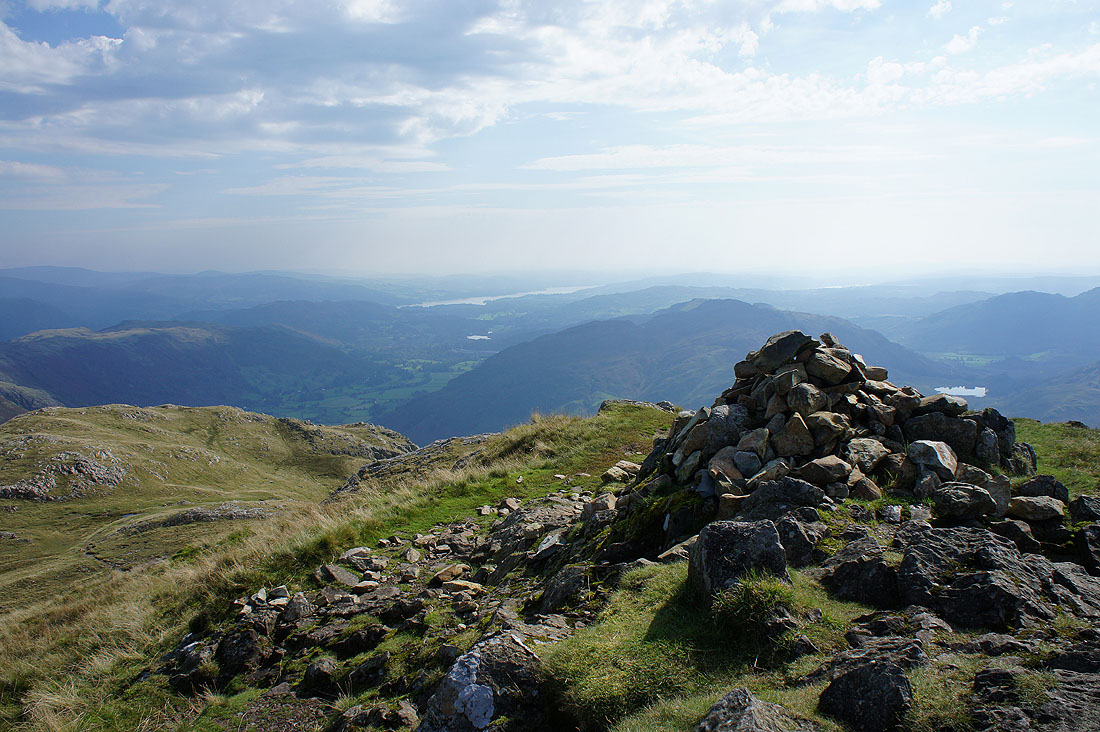
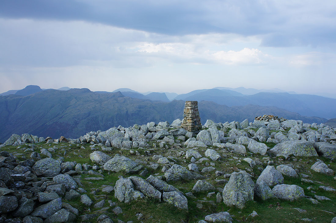
On my final top of Sergeant Man. The Coniston fells behind Pavey Ark and Harrison Stickle.
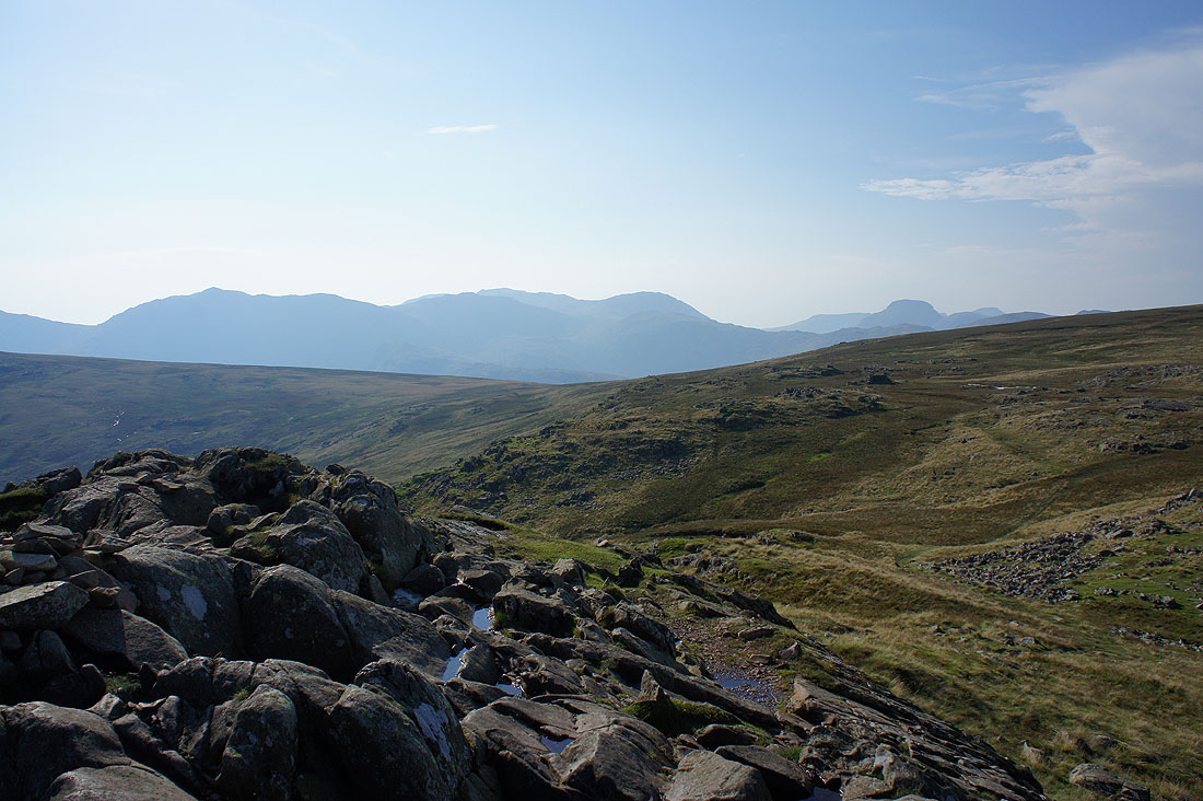
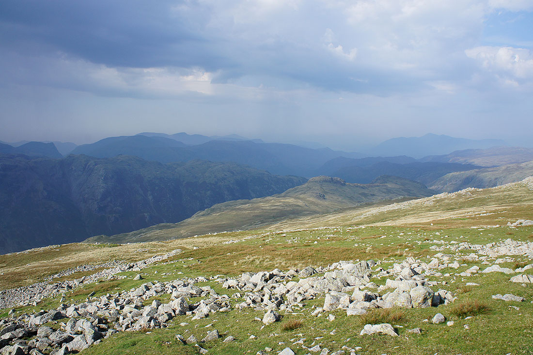
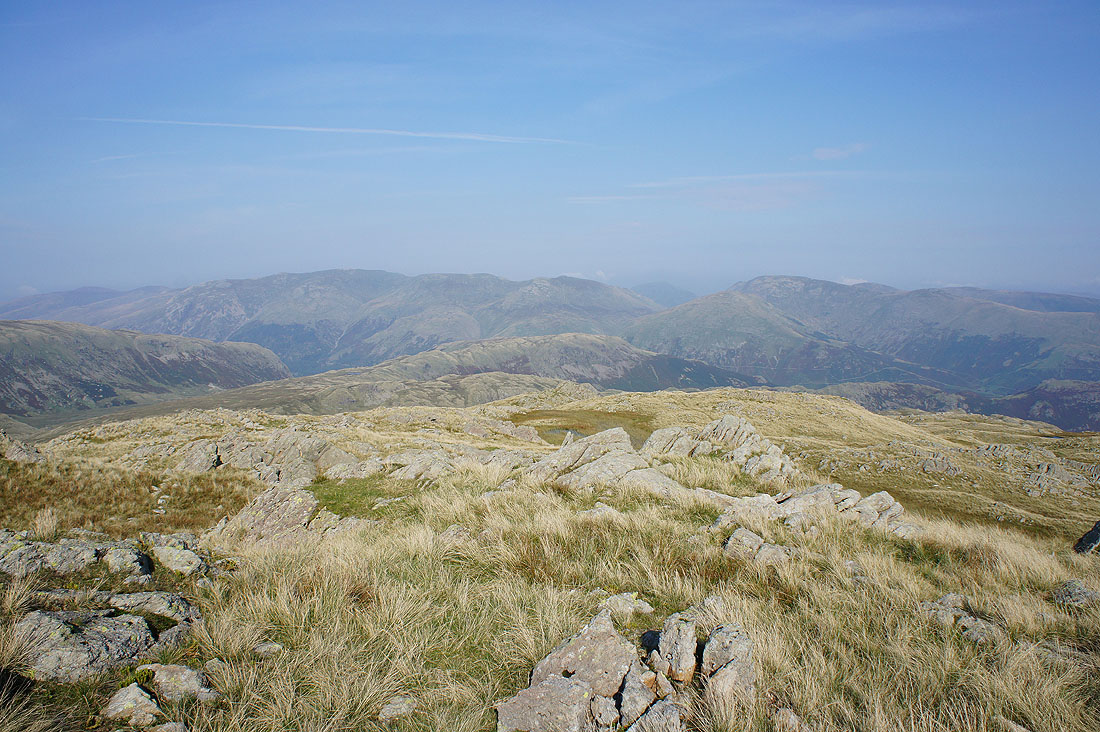
Bowfell, Esk Pike, Scafell Pike, Great End and Great Gable
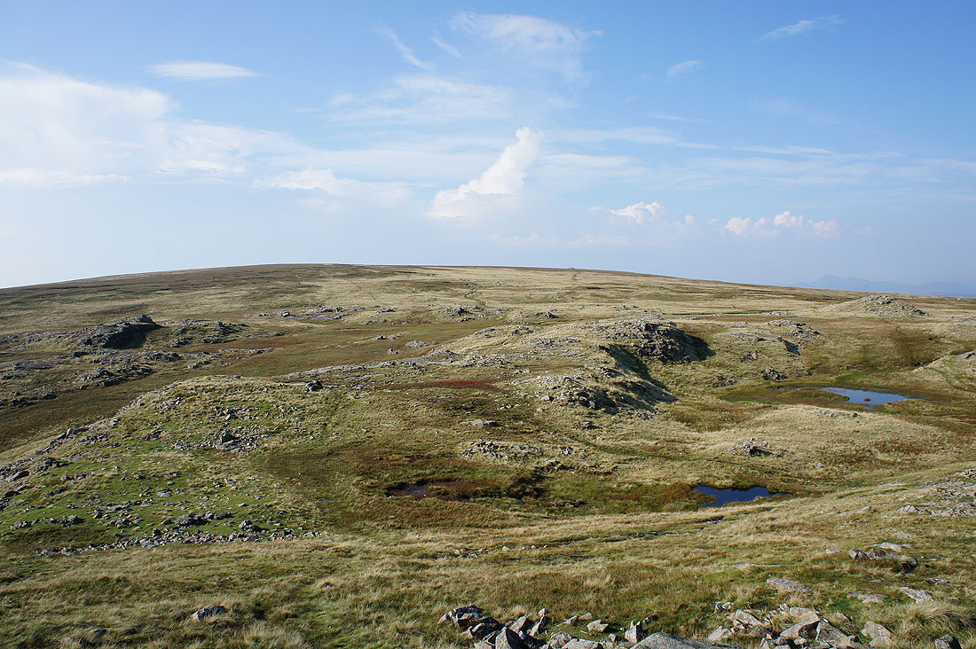
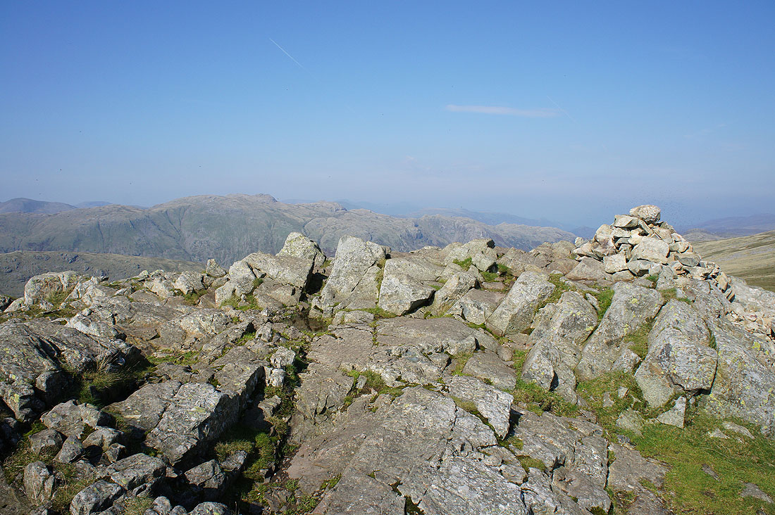
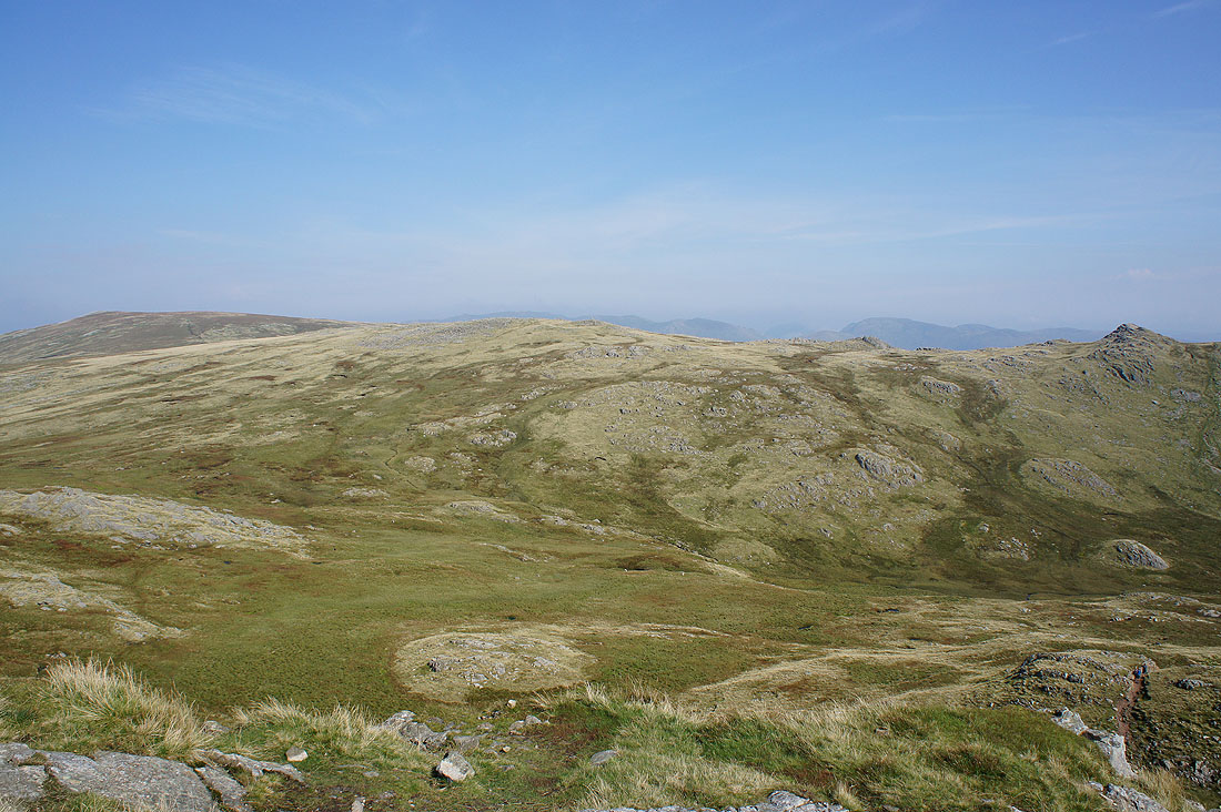
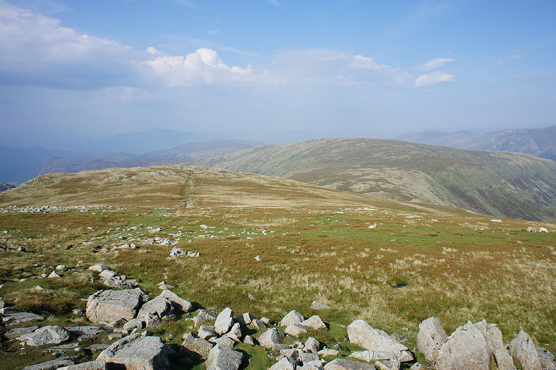
The broad swell of High Raise
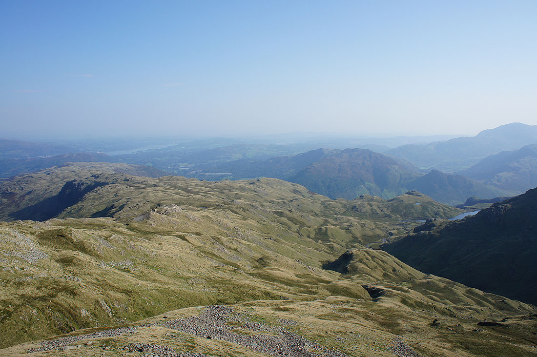
Looking across Blea Rigg to Windermere and Lingmoor Fell
Heading for Stickle Tarn..
This crag seems to have an almost pink glow to it in the lowering sun
Looking back to the top of Sergeant Man as I reach Stickle Tarn
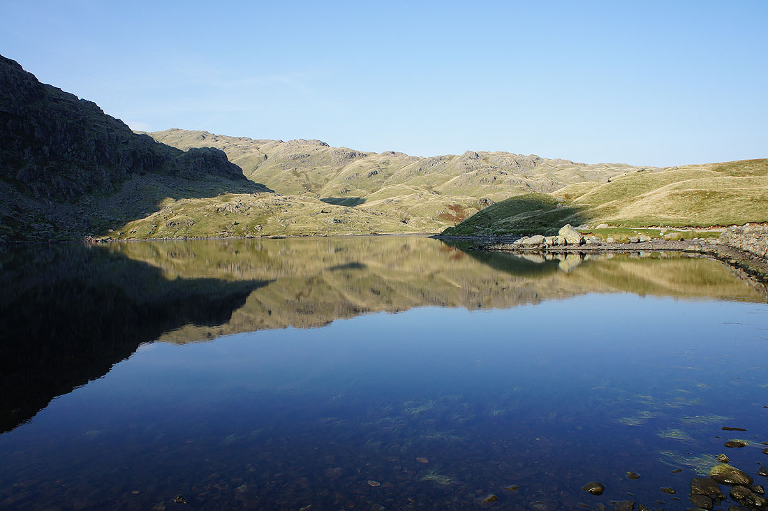
Reflections in Stickle Tarn
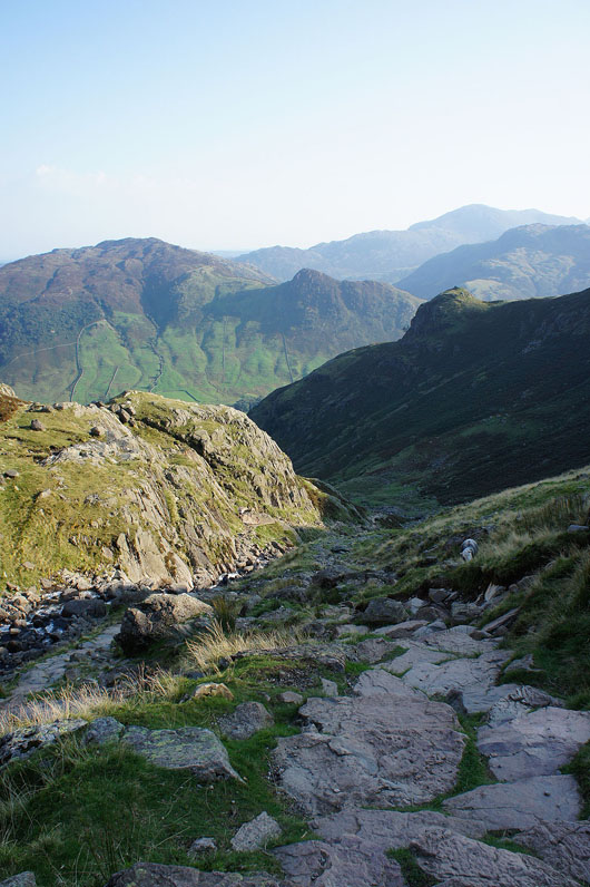
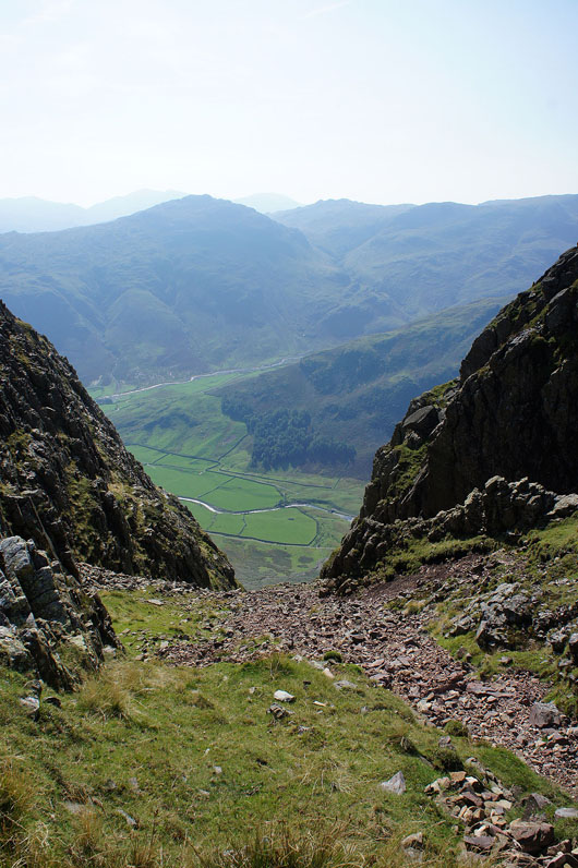
A quick descent back to Langdale can now be made on the excellent pitched path down Stickle Gill..