15th April 2012 - Crag Hill, Great Coum & Gragareth
Walk Details
Distance walked: 11.8 miles
Total ascent: 2300 ft
OS map used: OL2 - Yorkshire Dales, Southern & Western areas
Time taken: 7.5 hrs
Route description: Road to Leck Fell House-Bank House-Springs Wood-Anneside-Ease Gill Kirk-Bullpot Farm-Little Aygill-Crag Hill-Great Coum-Green Hill-Gragareth-Three Men of Gragareth-Road to Leck Fell House
I've done this walk before back in September 2010 and afterwards I thought that if I did it again I'd do it the other way around, with the walking across the high ground on the second half of the walk and walking downhill at the end.
The weather wasn't too bad with some sunshine but there was a bitter wind high up and a few snow flurries passed through as well.
From where I parked by the road up to Leck Fell House I walked down the road to the farm of Bank House. I then left the road to follow a footpath across a couple of fields to reach the path by Leck Beck. I then followed this path up the valley through Springs Wood, past the ruin of Anneside and Ease Gill Kirk to eventually reach Bullpot Farm. It was then uphill to Crag Hill and the summits above the valley of Ease Gill; Great Coum, Green Hill and Gragareth. From Gragareth it was downhill to the "Three Men of Gragareth" and the road to where I was parked.
Route map
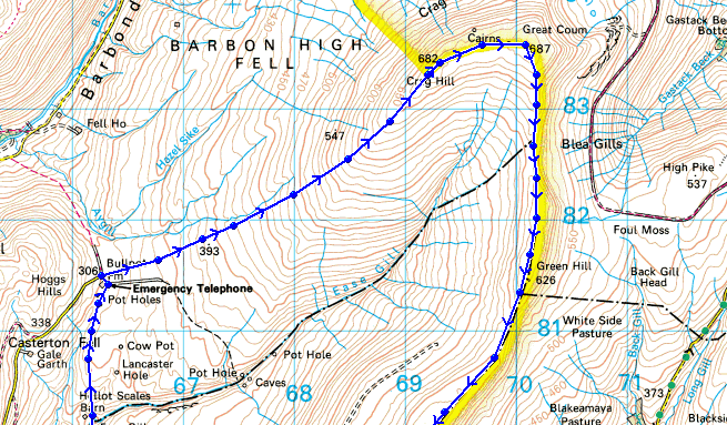
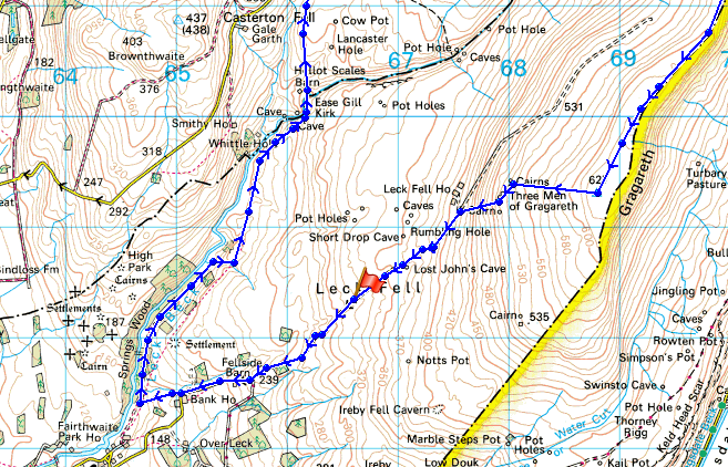
© Crown copyright. All rights reserved. License number PU 100034184.
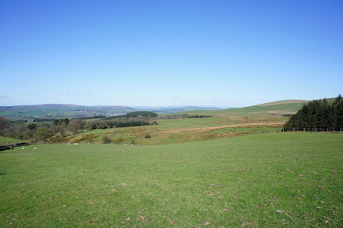
A sunny start to the day as I walk down the road to Bank House
|
|
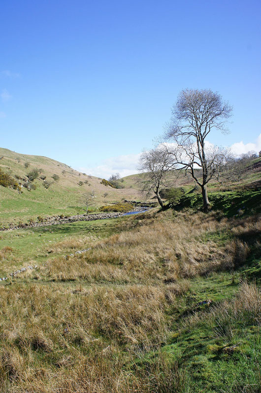
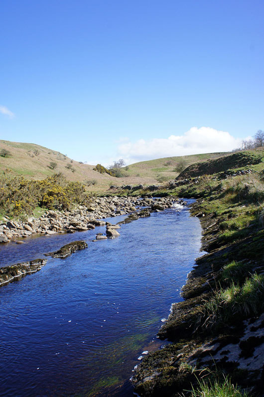
Walking up the valley of Leck Beck..
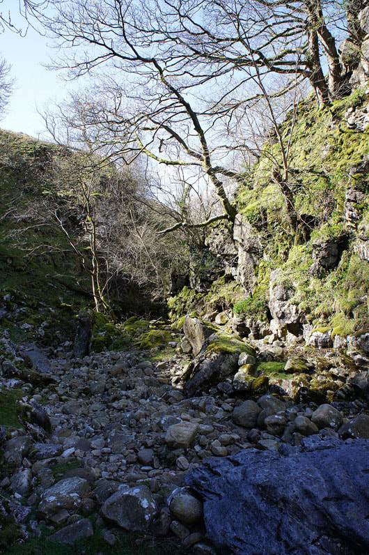
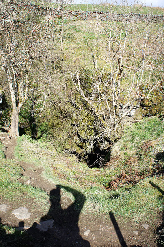
The limestone gorge of Ease Gill Kirk. You can walk through it but I took the path that goes around it.
A look back at the gorge as I head for Bullpot Farm
The valley of Leck Beck
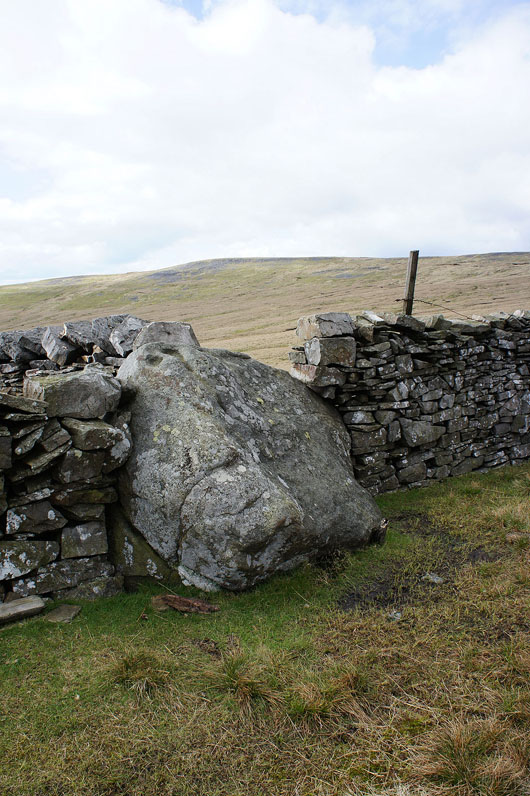
Bull Pot of the Witches. As close as I'm going to get to it.
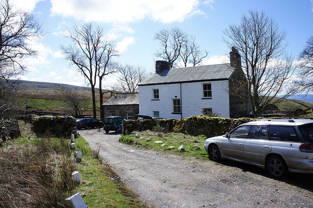
Bullpot Farm. Headquarters of the Red Rose Cave & Pothole Club.
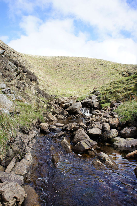
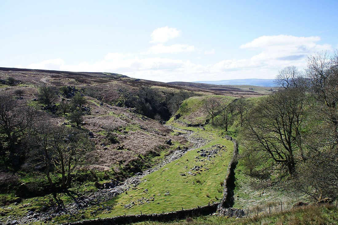
Aygill. Maybe evidence of the Dent Fault on the surface. The rocks to the left dip down steeply into the bed of the beck. The Dent Fault runs southwest to northeast along the nearby valley of Barbondale and marks the boundary where the older Silurian rocks that make up Middleton Fell and the Howgills were lifted up to lie alongside the younger Carboniferous rocks that make up much of the fells of the Yorkshire Dales.
On the climb up Crag Hill's southwest ridge. The view is across Barbon Low Fell to Morecambe Bay.
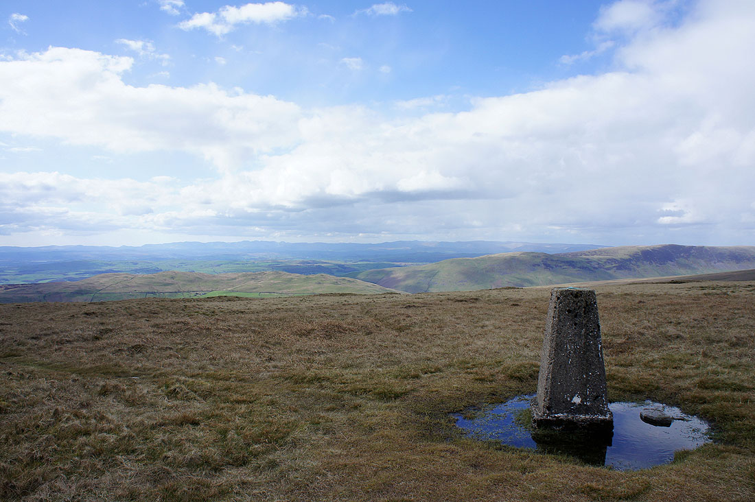
On Crag Hill and the view across Calf Top towards the Lake District fells
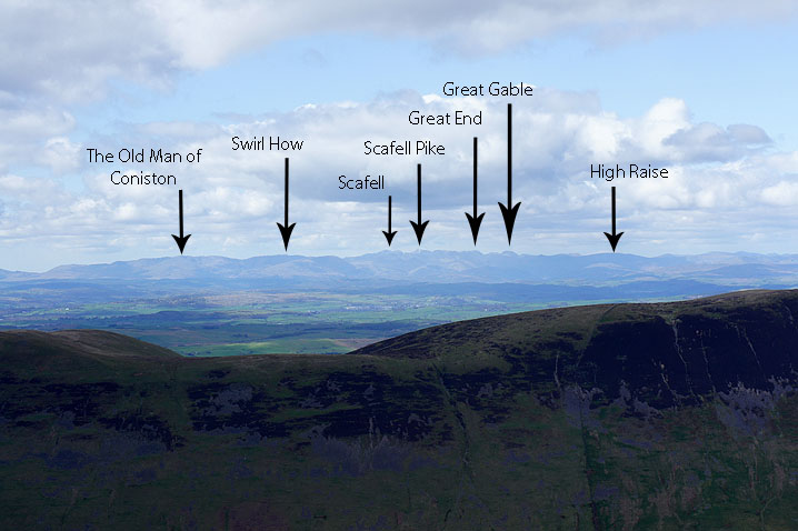
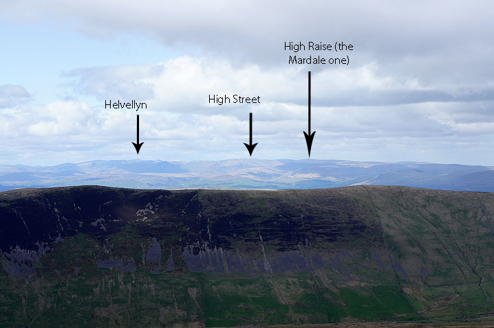
The visibility was excellent today and it was easy to make out the well known tops
The Howgills from Crag Hill
and the view to the southwest towards Morecambe Bay
Ingleborough beyond the ridge that forms the second half of the walk
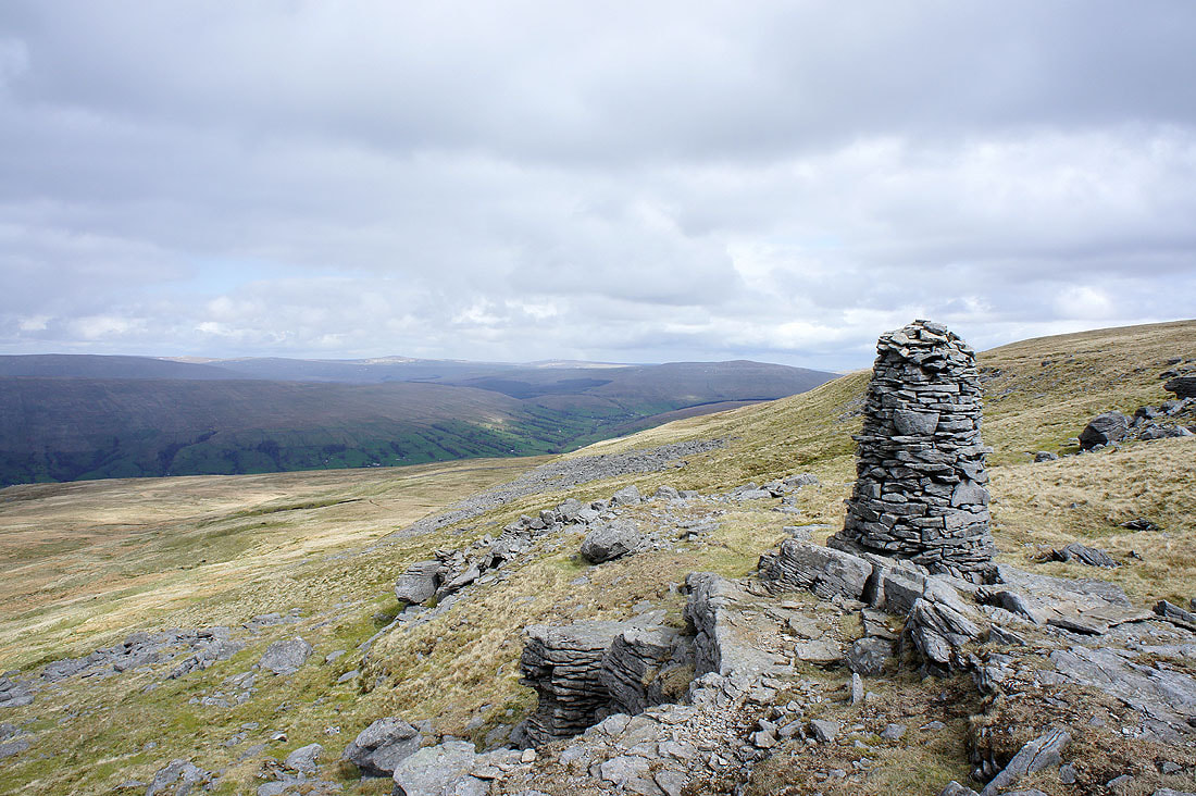
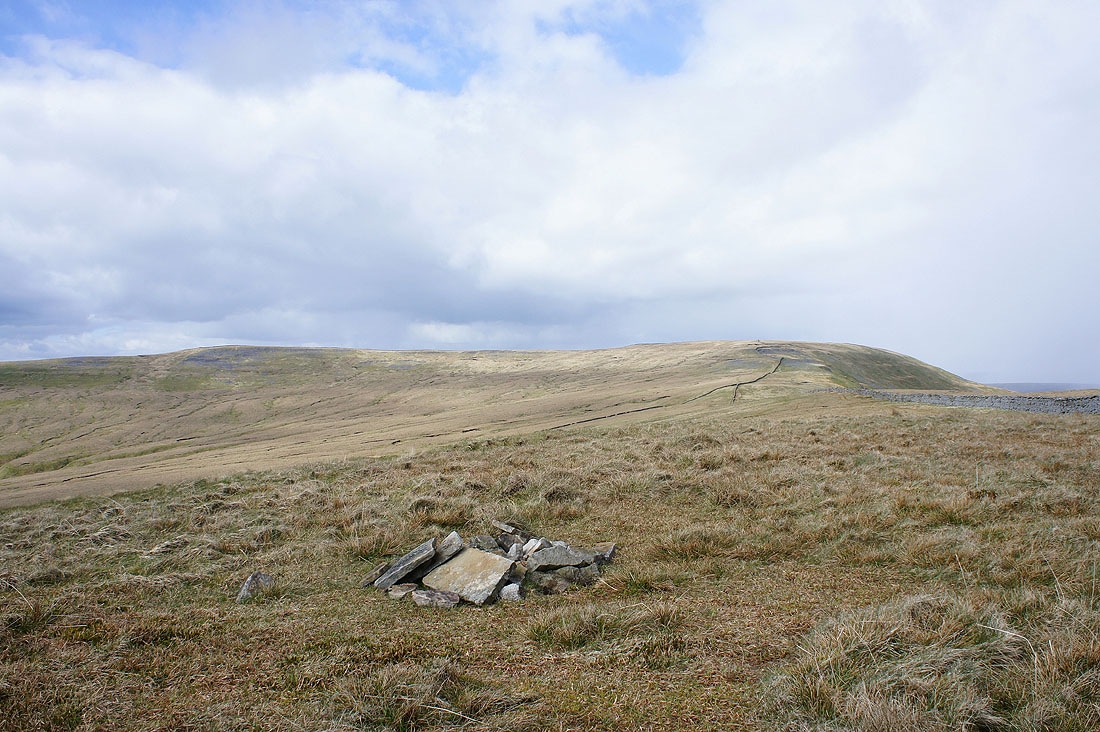
To get from Crag Hill to Great Coum just follow the summit wall but it's worth a little detour to the north to visit this cairn at the top of the slope from Dentdale. The view here is up Dentdale towards Great Knoutberry Hill.
Calf Top
and the Howgills
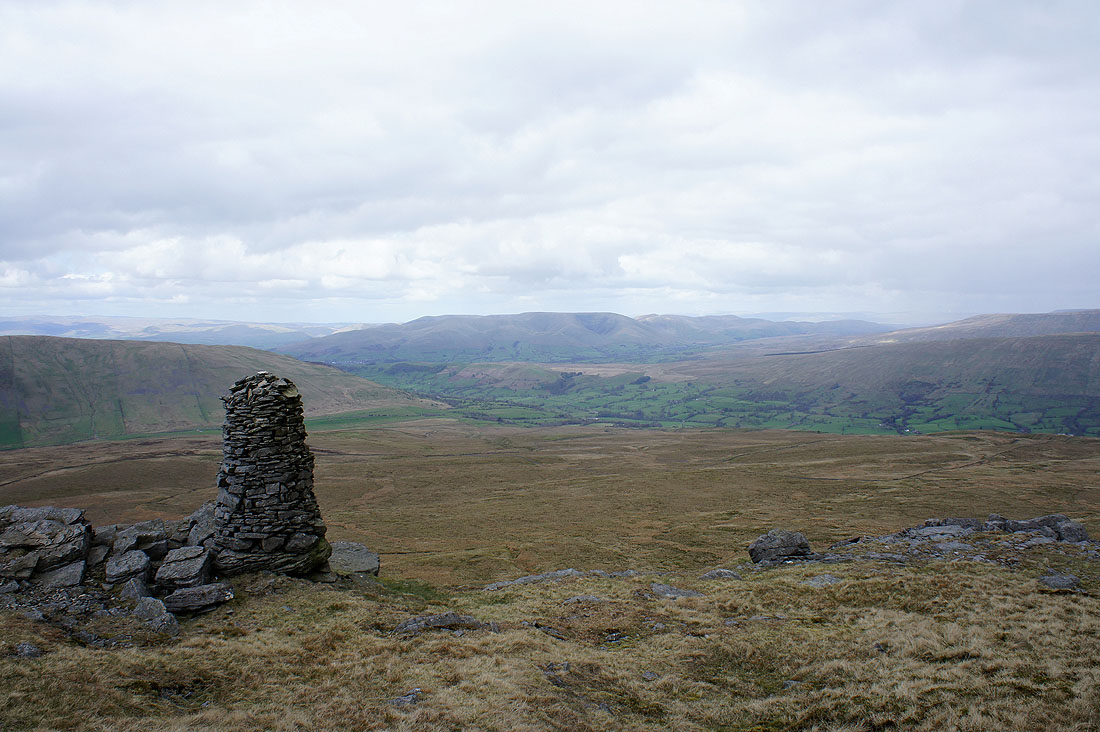
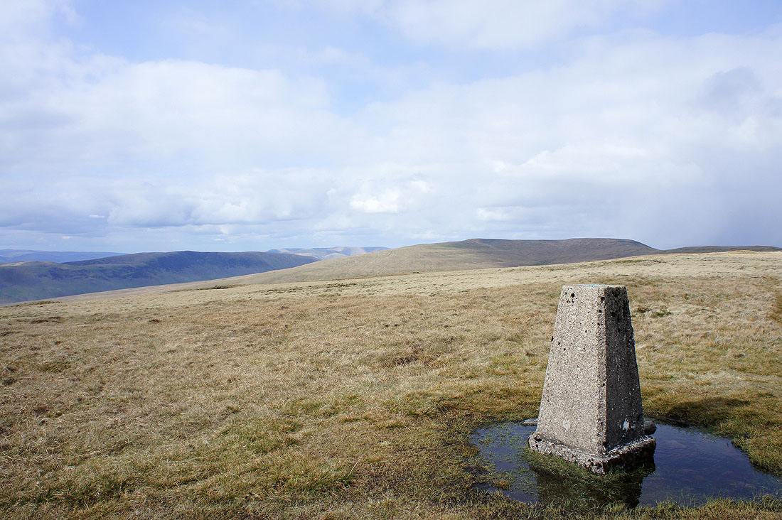
On the summit of Great Coum, though the other cairn on top of the rise on the left could be. I paid both a visit.
The Howgills from Great Coum
Great Shunner Fell, Great Knoutberry Hill and Dodd Fell Hill are in the distant view
It looks like a snow flurry is approaching over Rise Hill and Baugh Fell
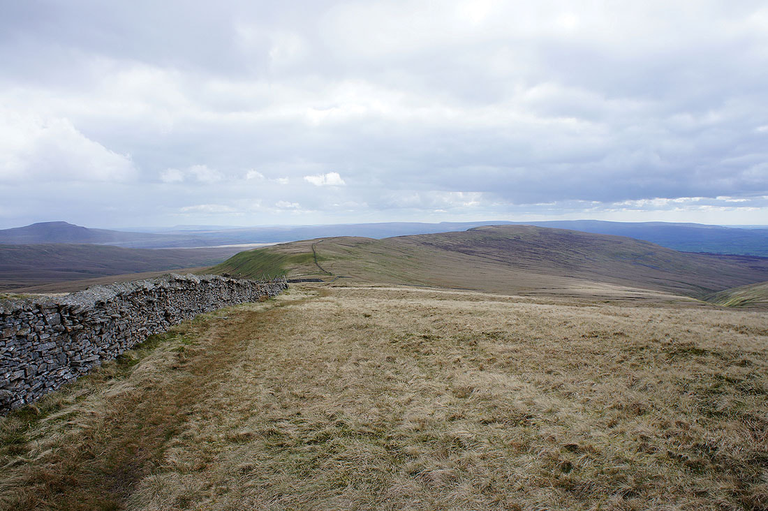
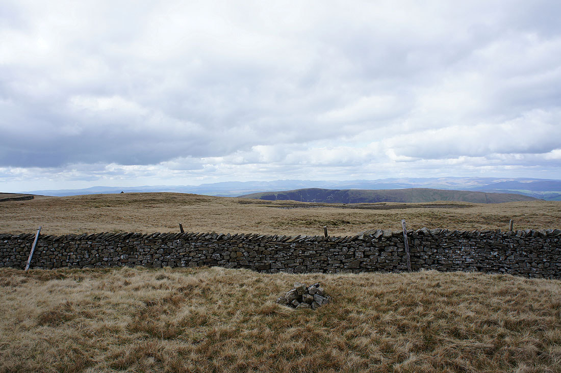
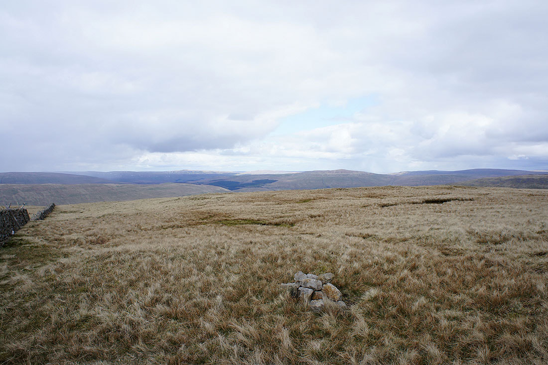
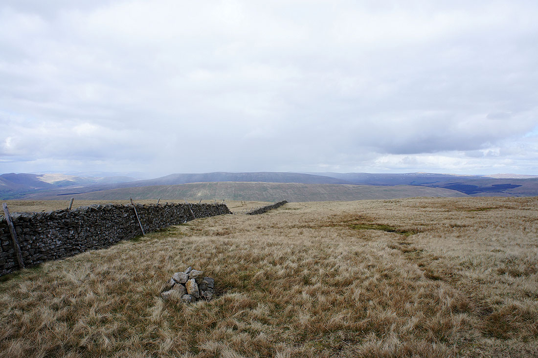
Heading for Green Hill and then Gragareth
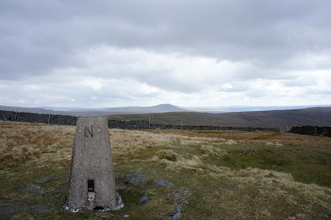
Whernside and Ingleborough from the cairn on Gatty Pike
and the view down into Deepdale, then Dentdale and Great Knoutberry Hill
The County Stone. Up until 1974 this marked the boundaries of Lancashire, Westmorland and West Yorkshire. It still marks the boundary between Lancashire and Cumbria but the boundary between Cumbria and North Yorkshire is now about a mile south along the wall.
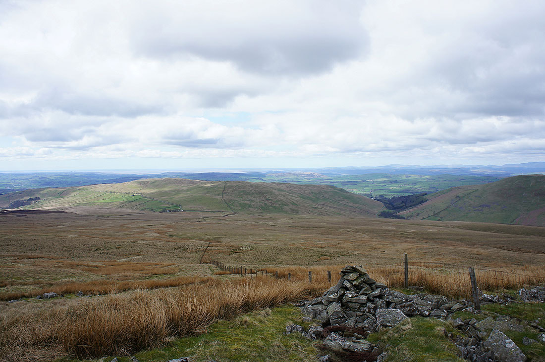
The view back to Crag Hill and Great Coum from the rather undistinguished summit of Green Hill
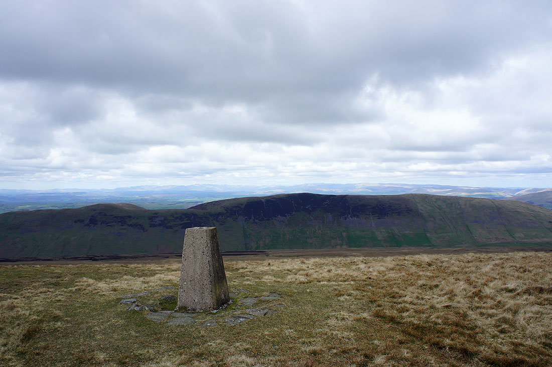
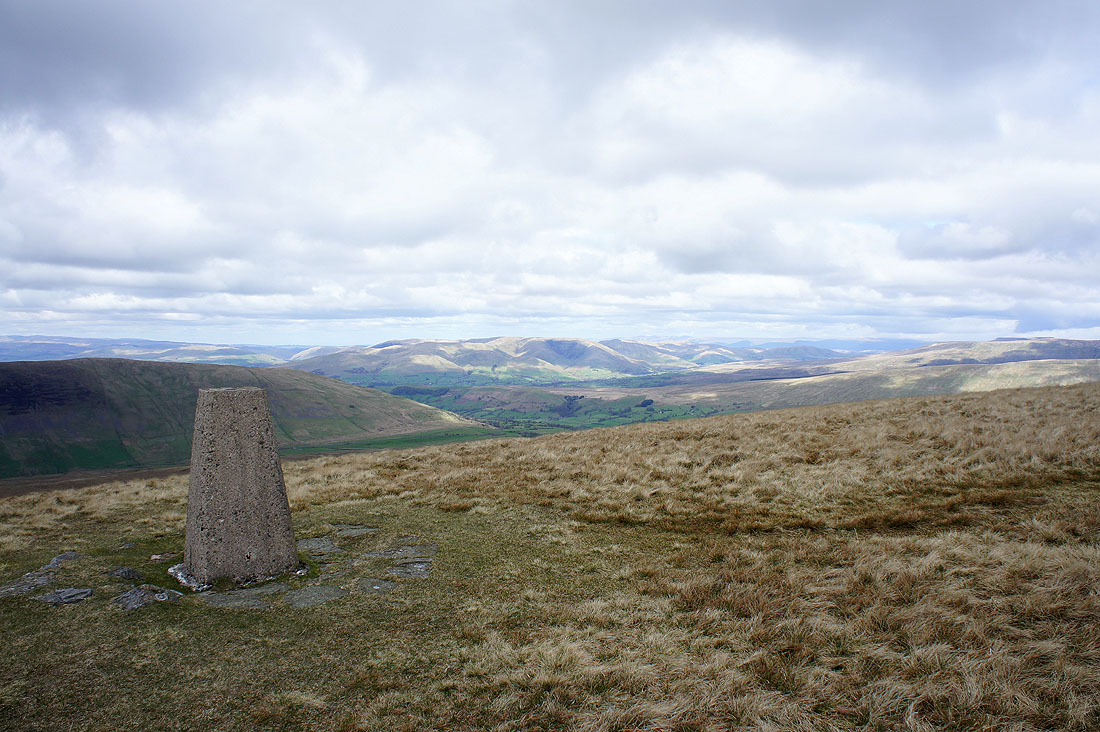
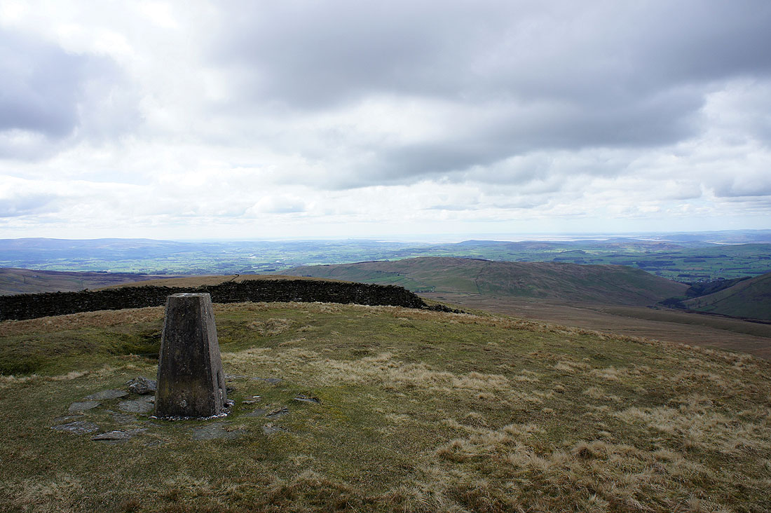
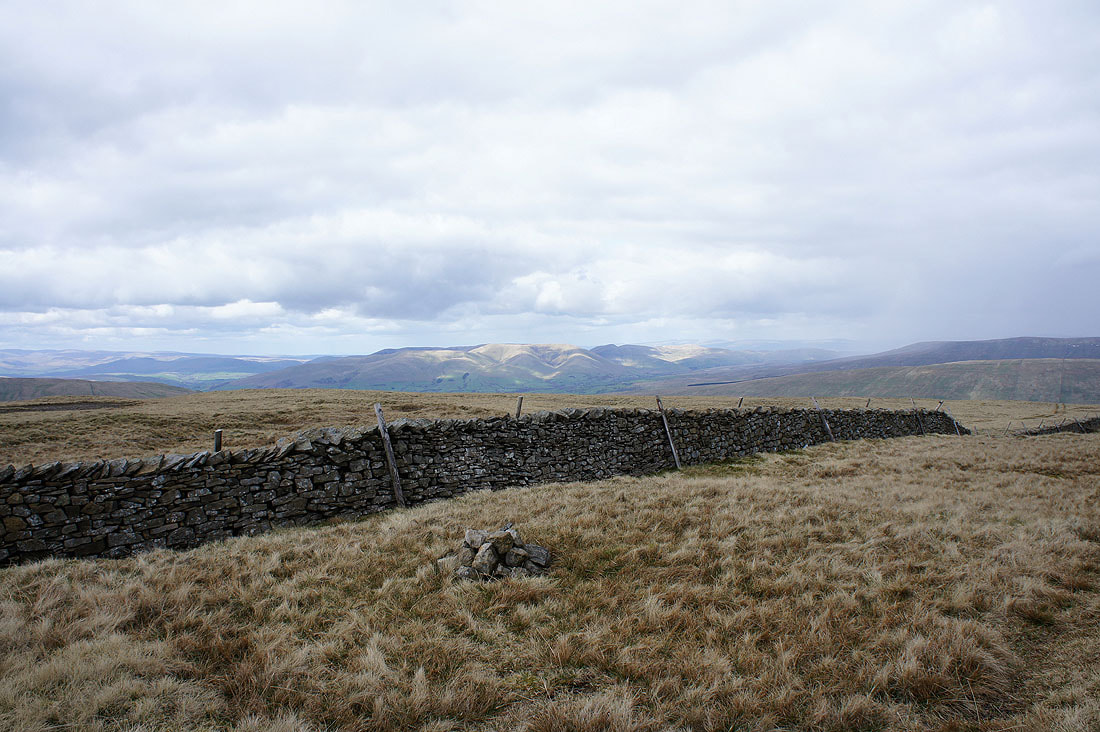
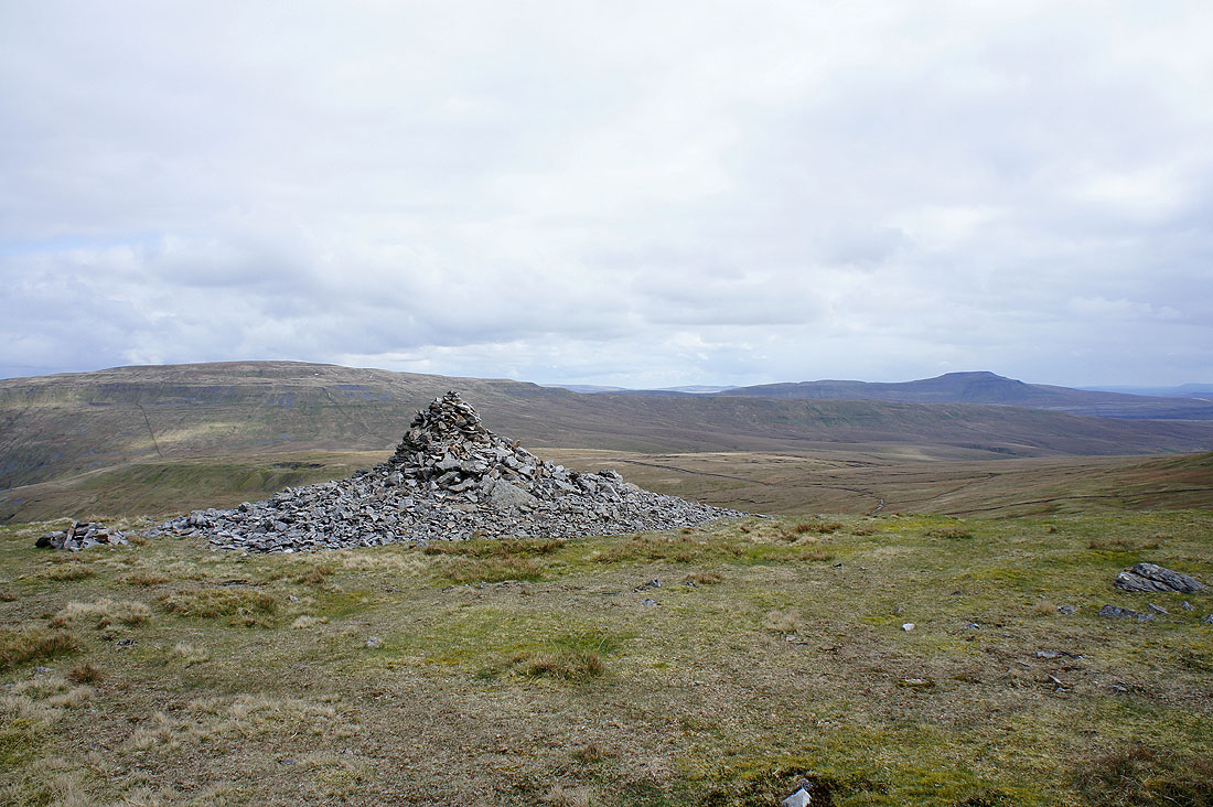
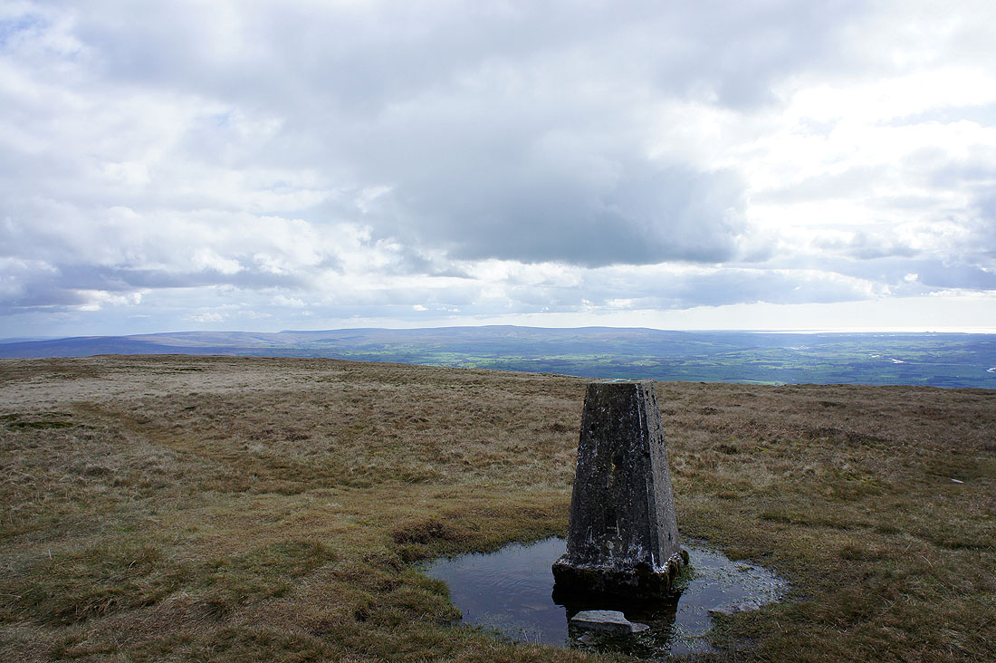
On the summit of Gragareth and what a view looking towards the Lake District fells
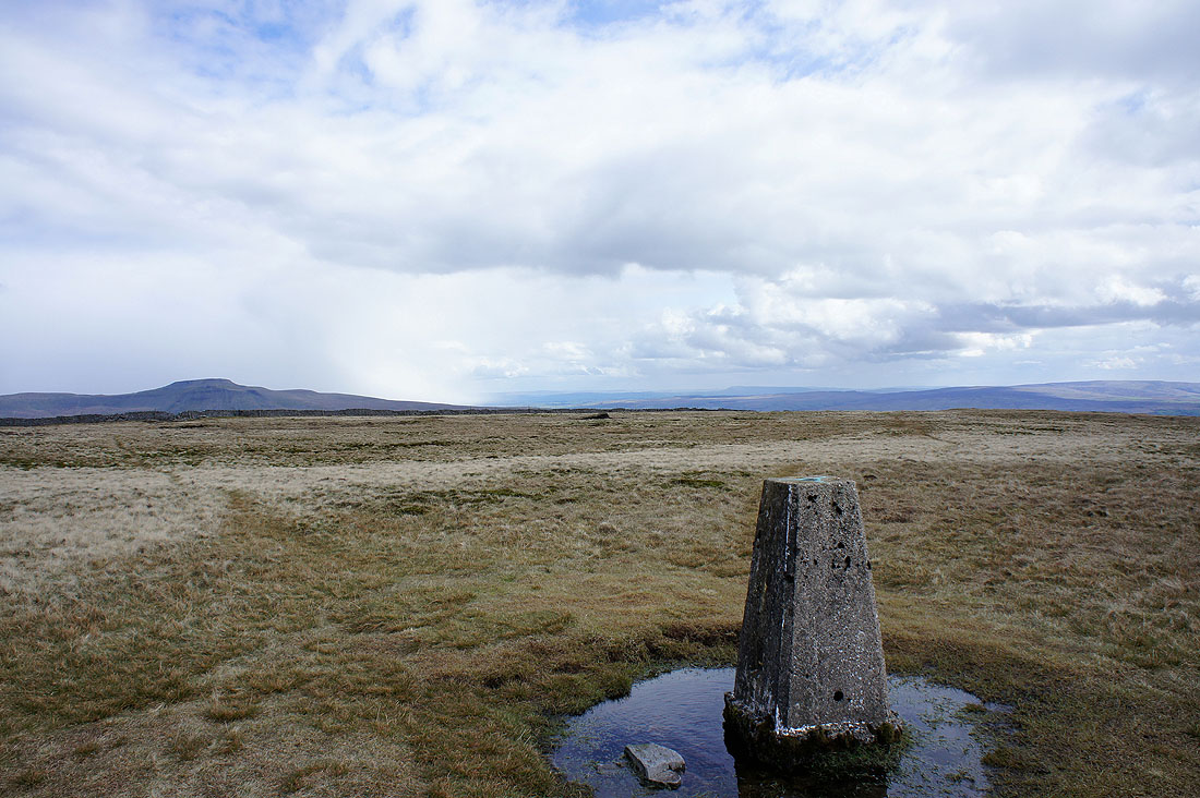
A snow shower has just passed over Ingleborough and you can see Pendle Hill in the distance behind the trig point
Looking towards the Forest of Bowland
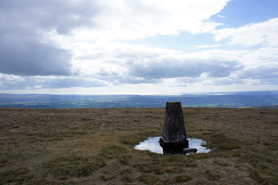
and Morecambe Bay
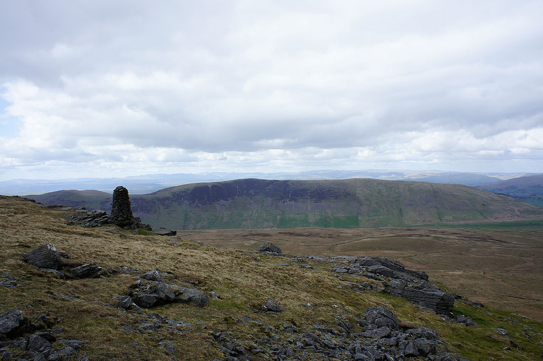
Calf Top on the left, then the valley of Barbondale, then Crag Hill and Great Coum. The Howgills can be seen down Barbondale.
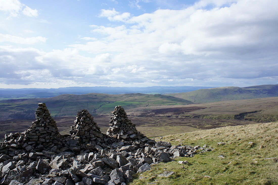
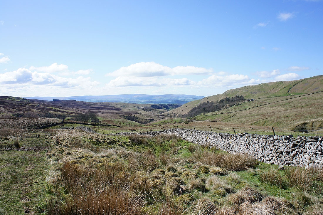
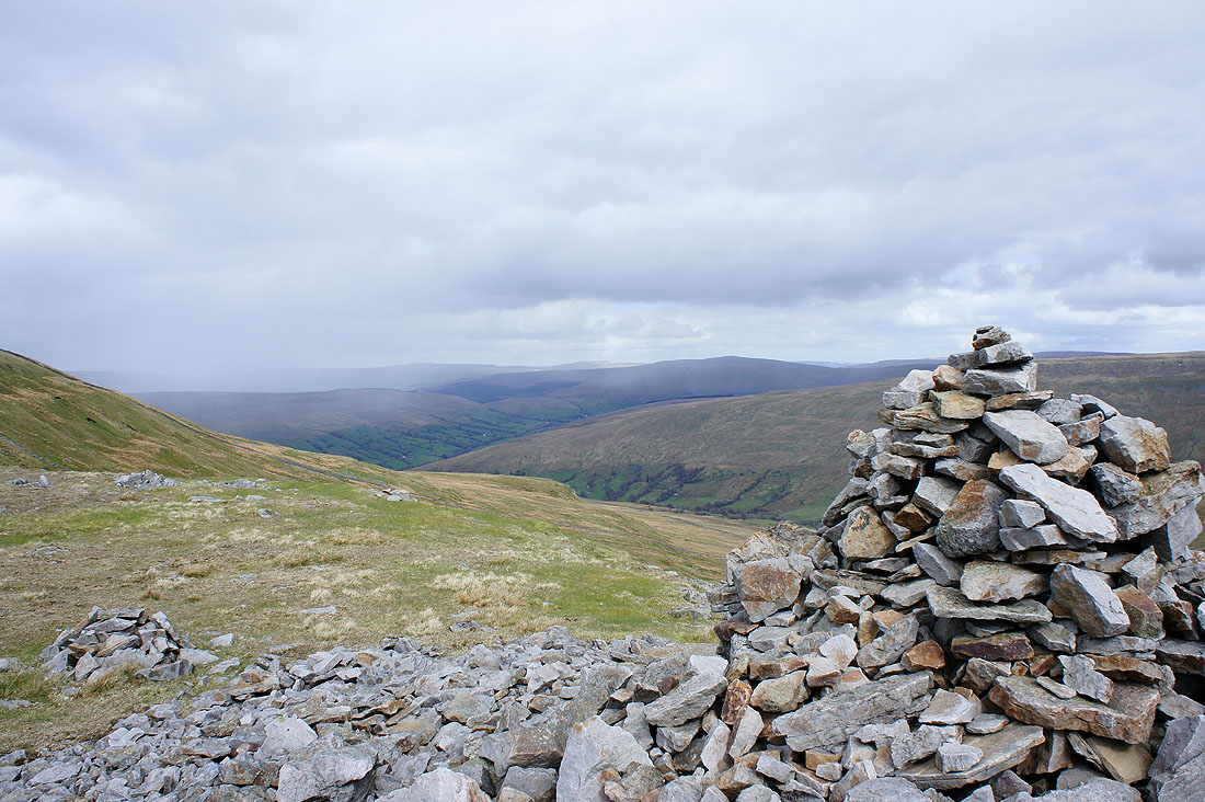
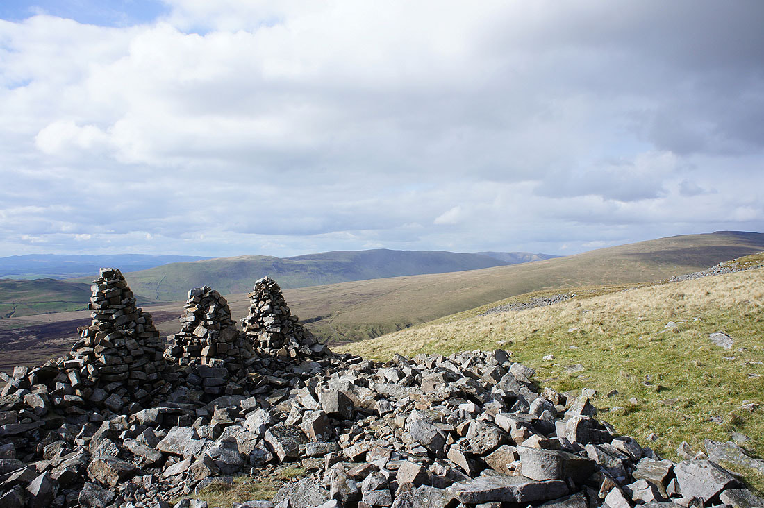
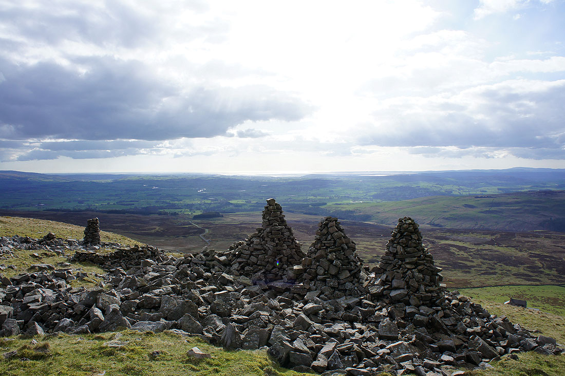
From Gragareth I then made my way downhill towards Leck Fell House and the cairns of the "Three Men of Gragareth". The view over Leck Fell and Barbon Low Fell to the distant Lake District fells.
Castle Knott and Calf Top beyond the slopes of Crag Hill
Morecambe Bay beyond the Lune valley
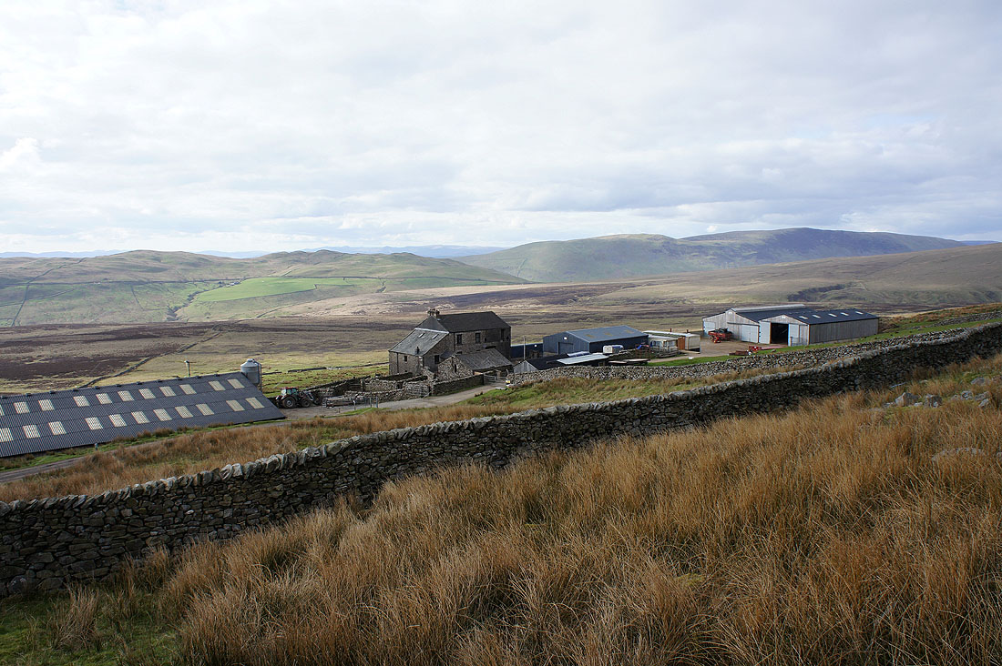
Leck Fell House. A high and lonely place. It's now just a short walk down the road to where I'm parked.