15th April 2017 - Crowden to Chew Valley and Laddow Rocks
Walk Details
Distance walked: 11.0 miles
Total ascent: 2587 ft
OS map used: OL1 - The Peak District, Dark Peak area
Time taken: 6.5 hrs
Route description: Crowden-Crowden Outdoor Education Centre-Lad's Leap-Millstone Rocks-Tintwistle Knarr-Arnfield Clough-Arnfield Lane-Arnfield-Pennine Bridleway-Ogden Clough-Ormes Moor-Wilderness-Chew Reservoir-Laddow Moss-Laddow Rocks-Pennine Way-Crowden Outdoor Education Centre- Crowden
Despite all the walking that I've done in the Peak District in recent years there are still a few parts of it that I've not yet been to or have little familiarity with. One such place is the valley of Longdendale and another is the summit of Bleaklow. My walk today took care of one of them and the other won't be far behind. The route that I ended up deciding on started from Crowden, took in the edge of the moorland on the northern side of the valley before heading across to the Chew Valley, with a return to Crowden via Laddow Rocks and the valley of Crowden Great Brook. The definite highlight of the day was my arrival at Laddow Rocks after crossing the bleak moorland of Laddow Moss. There was a bit of a mixture of weather while I was out today. Some sunny spells from when I set off and into the early afternoon but things changed by the time that I was crossing Ormes Moor to Wilderness. It had clouded over, a cold wind had picked up and a shower passed through while I was crossing Laddow Moss.
From the car park in Crowden I set off by following the lane up to the Outdoor Education Centre before taking the path that heads up the hillside to join the Pennine Way, where I turned left to briefly follow the trail south to another path on the right that made its way up onto the moorland past Highstone Rocks. I followed this west across the moor past Lad's Leap, the edge of Millstone Rocks, by the fence on the edge of Tintwistle Knarr, then down Arnfield Clough to Arnfield Lane. Here I turned right and followed Arnfield Lane to its end at Arnfield Farm where I took the Pennine Bridleway north to Arnfield Low Moor. After the bridleway had made its way down to and across Ogden Clough I took the path on the right that followed Ogden Clough north, across Ogden Brook, Ormes Moor and Wilderness (nasty boggy bit) to the edge of the Chew Valley then Chew Reservoir. From here I then took the path east along the south bank of the reservoir, up Chew Clough and across Laddow Moss to reach Laddow Rocks. My route back to Crowden was by the Pennine Way down the valley of Crowden Great Brook to pick up the path to the Outdoor Education Centre and Crowden.
Route map
© Crown copyright. All rights reserved. License number PU 100034184.
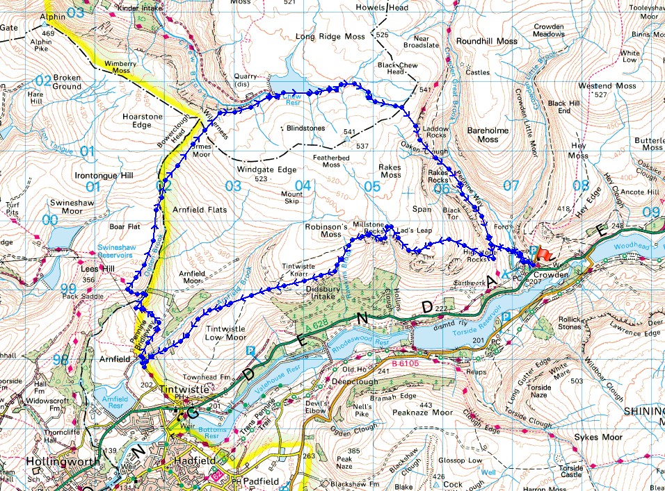
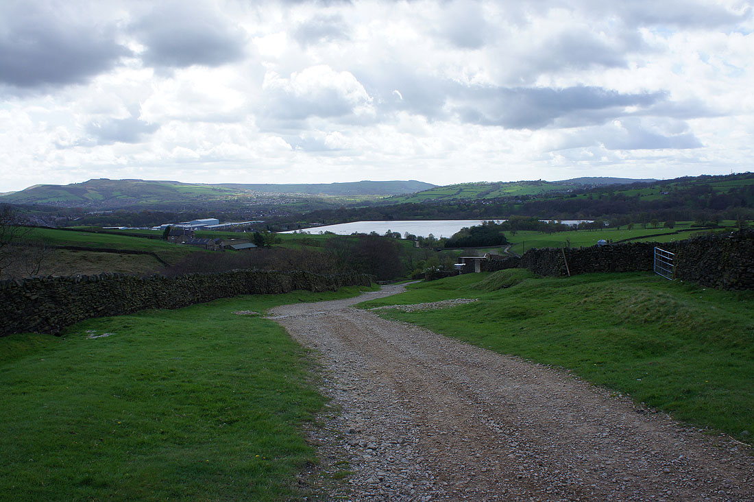
The valley of Crowden Great Brook ahead as I take the track to the Outdoor Education Centre
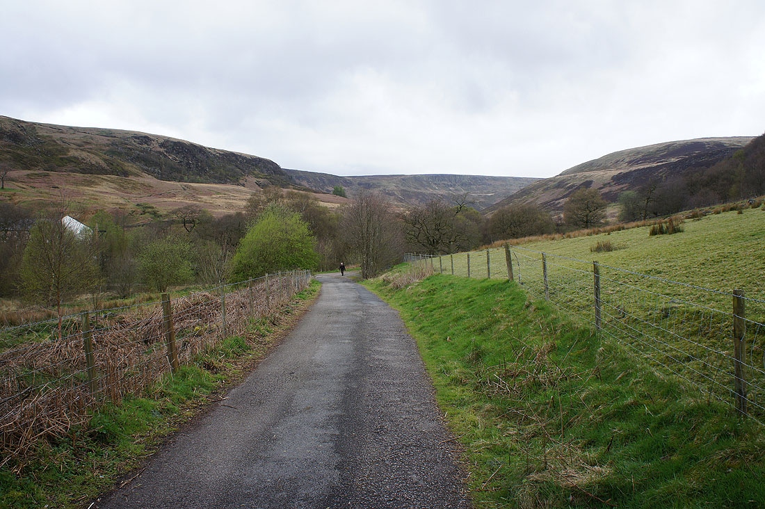
and that of Crowden Little Brook as I take to the hillside
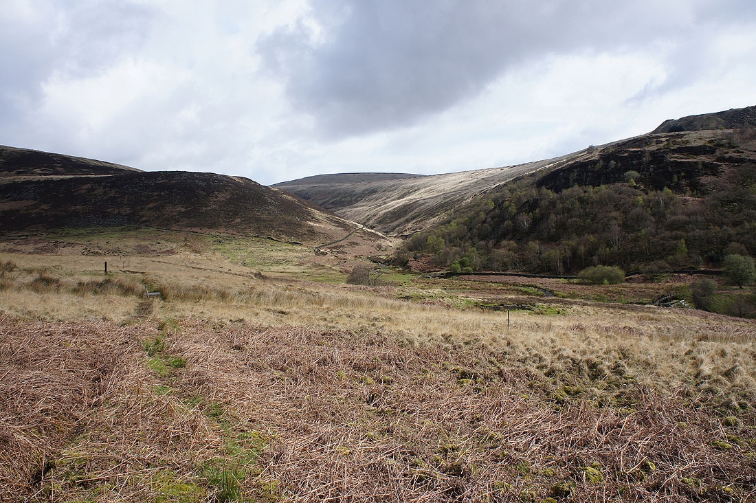
Bareholme Moss and Westend Moss
Looking back down on Crowden and Longdendale
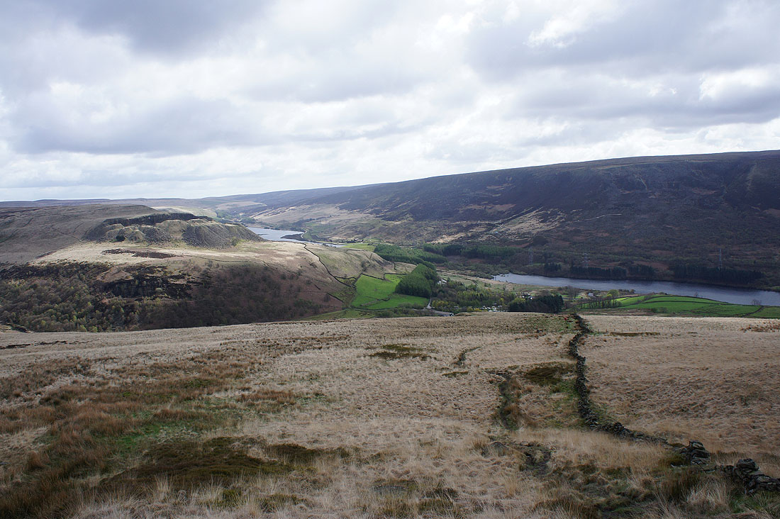
The sun coming out really adds some colour as I look north to Laddow Rocks, Crowden Great Brook and Bareholme Moss
Looking back with a disused quarry on Hey Edge and Woodhead Reservoir..
..and Westend Moss and Withins Moor to the east
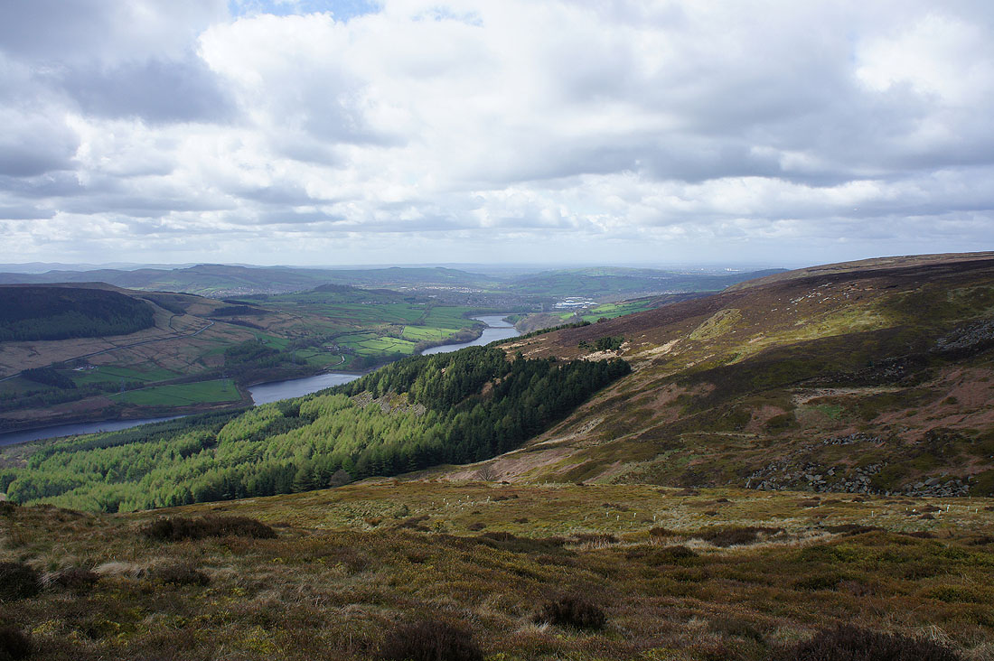
At last I get a view down Longdendale to Rhodeswood Reservoir, Valehouse Reservoir, Bottoms Reservoir, Hadfield and Mottram
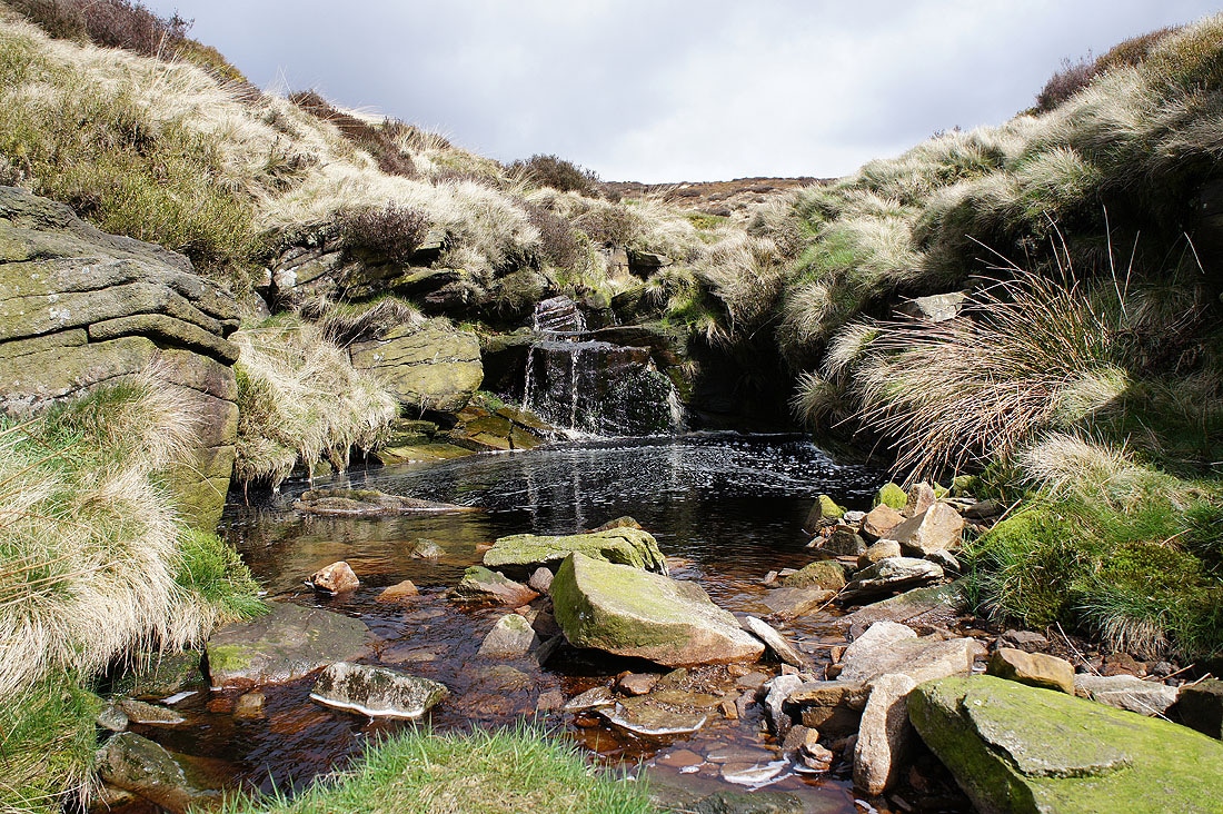
Crossing the brook of Hollins Clough at Lad's Leap
Looking down Coombes Clough
Looking across Longdendale to Torside Reservoir, Torside Clough and up to Bleaklow..
..from Millstone Rocks
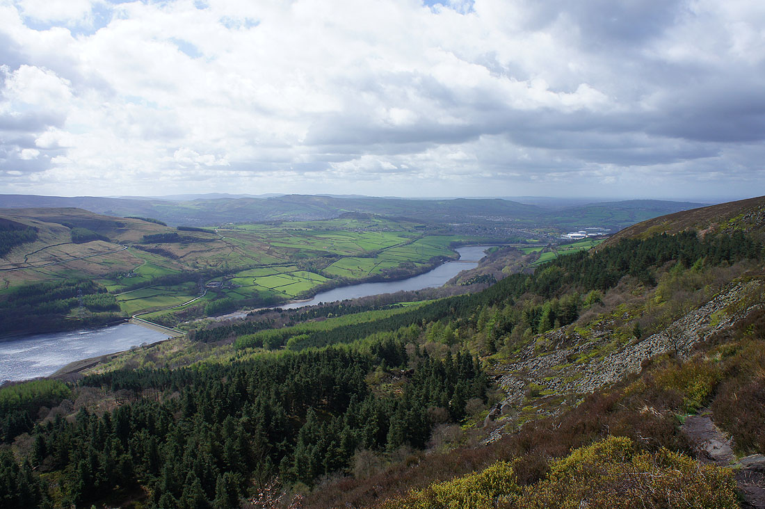
Rhodeswood Reservoir, Valehouse Reservoir and Bottoms Reservoir from where the path meets the descent back to Longdendale. I don't take it though and follow a fence along the edge of Robinson's Moss.
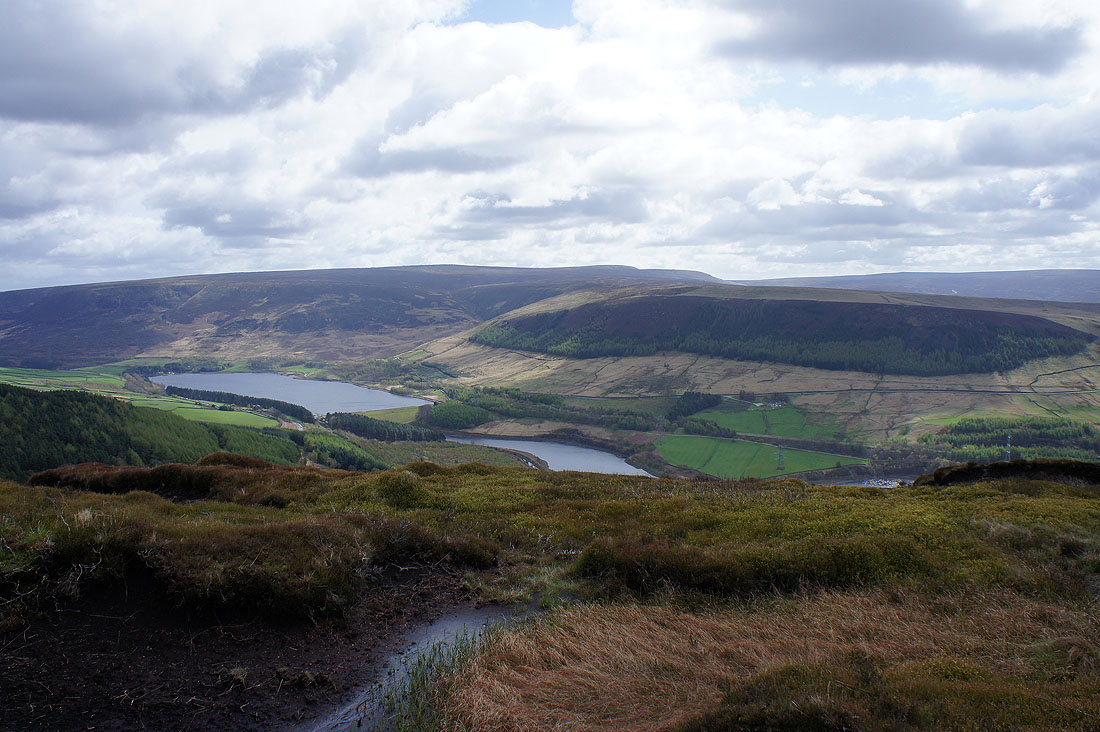
Bleaklow, Torside Clough, Torside Reservoir, Bramah Edge and Rhodeswood Reservoir
Looking back along the fence to Millstone Rocks before..
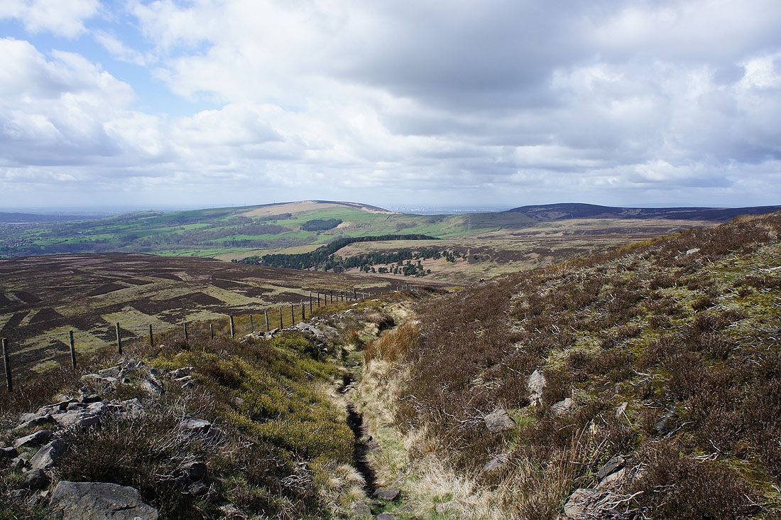
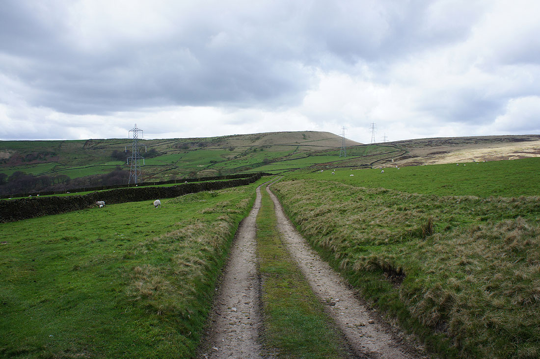
..I make my descent to Arnfield
Looking across Tintwistle Low Moor to Hadfield and Mottram
and back up the track down Arnfield Clough as I reach Arnfield
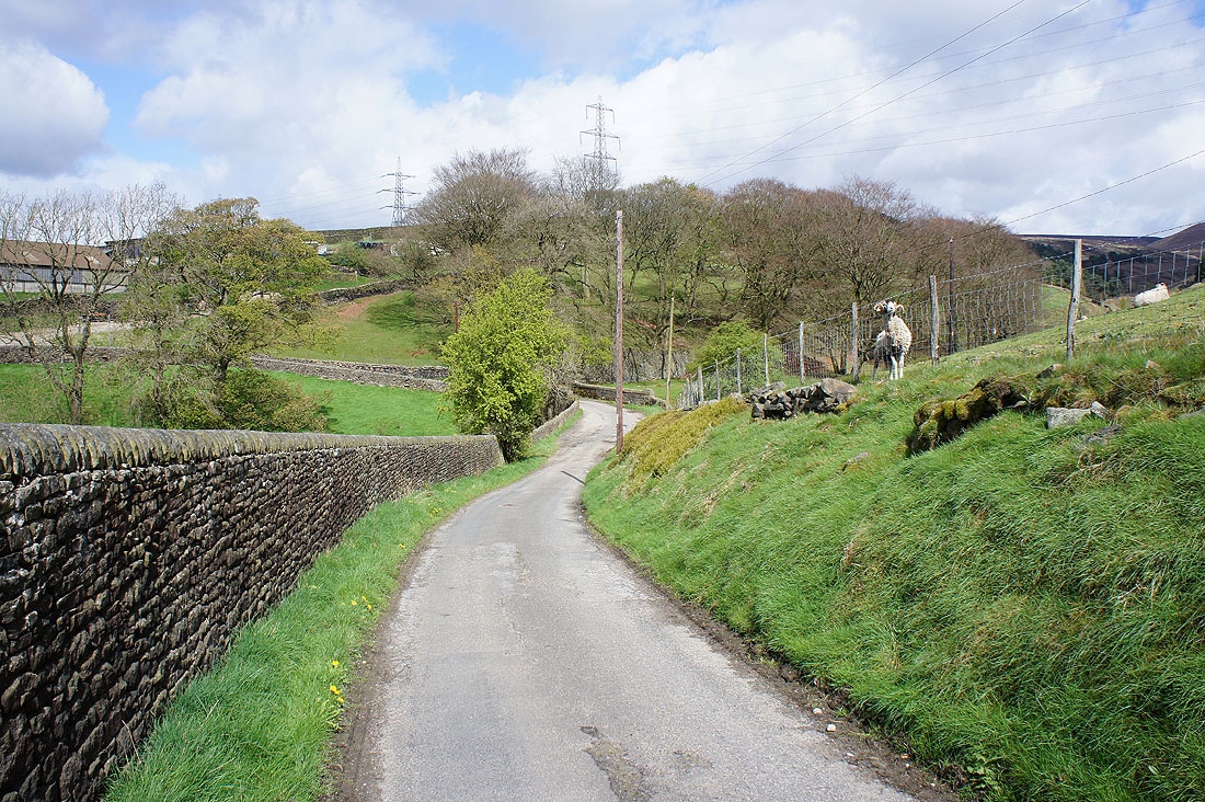
On Arnfield Lane with Arnfield Farm ahead (plus sheep rubbing itself against the fence)
Arnfield Reservoir as I take the Pennine Bridleway..
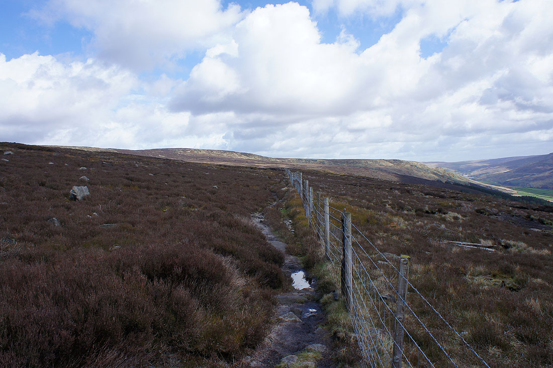
..onto Arnfield Low Moor
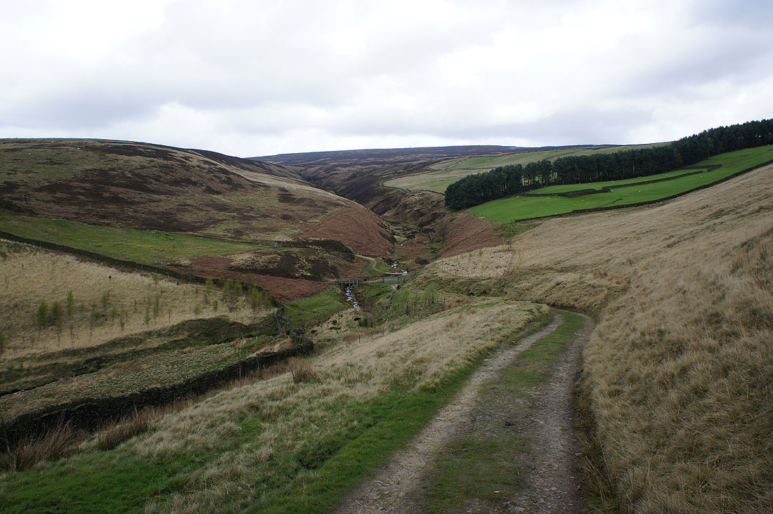
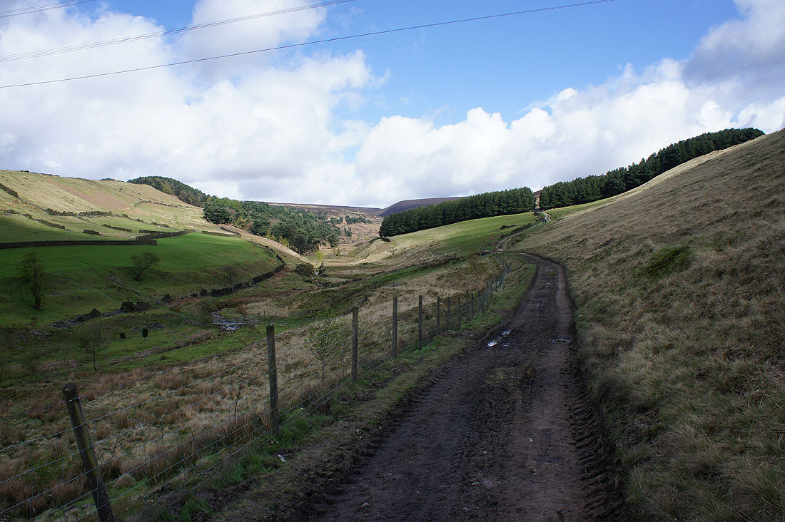
Dropping down to Ogden Clough
I then take the path that makes its way up by Ogden Brook to Wilderness
Hollingworthall Moor, Higher Swineshaw Reservoir and Harridge Pike
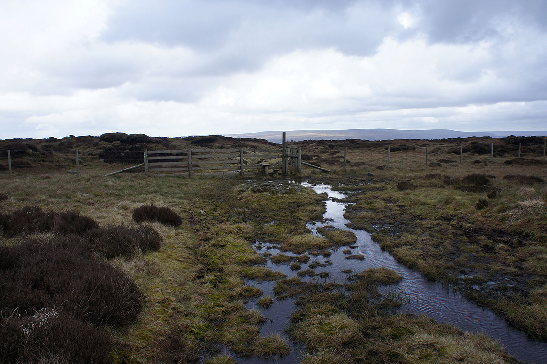
Approaching the Chew Valley as I cross the top of Wilderness. This was not a pleasant route to take. The earth was moving for me and not in a good way.
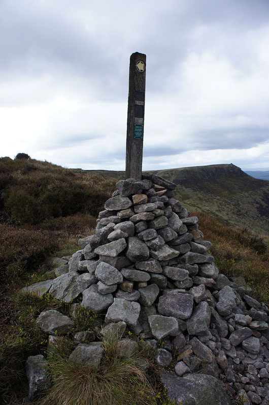
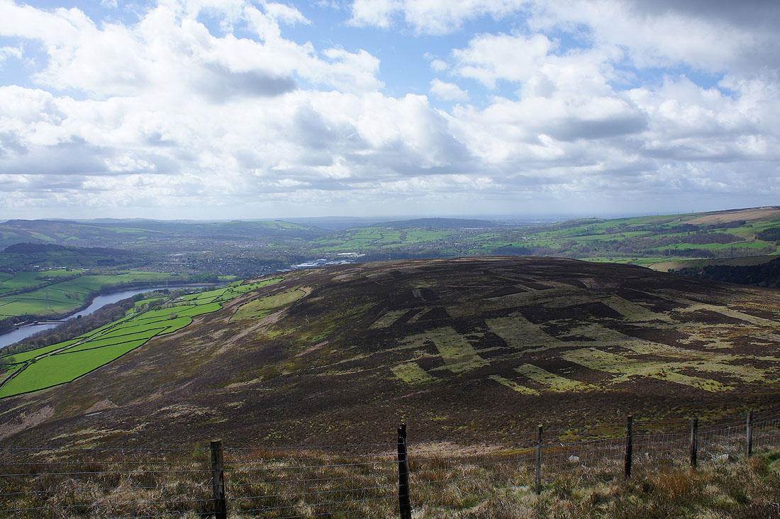
The large cairn that marks where the path meets the Chew Valley
Stable Stones Brow, Alderman's Hill and a bit of Dove Stone Reservoir
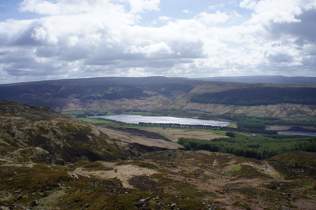
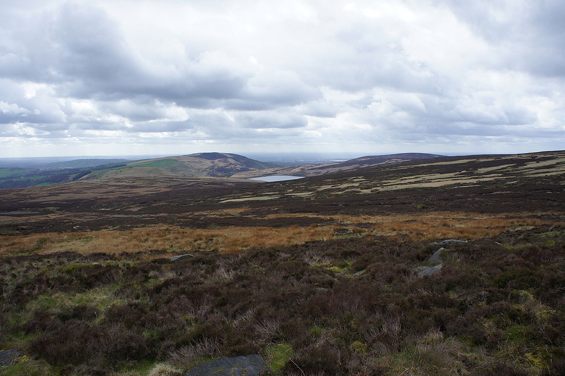
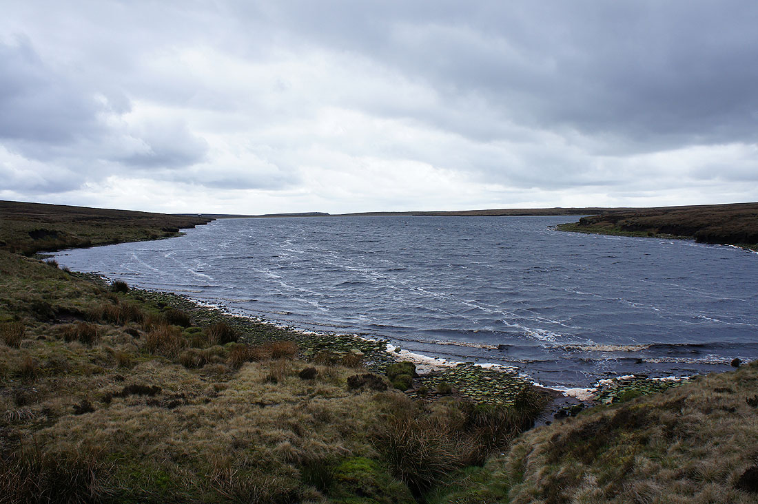
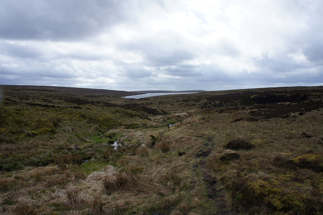
and looking up the Chew Valley to the dam of Chew Reservoir
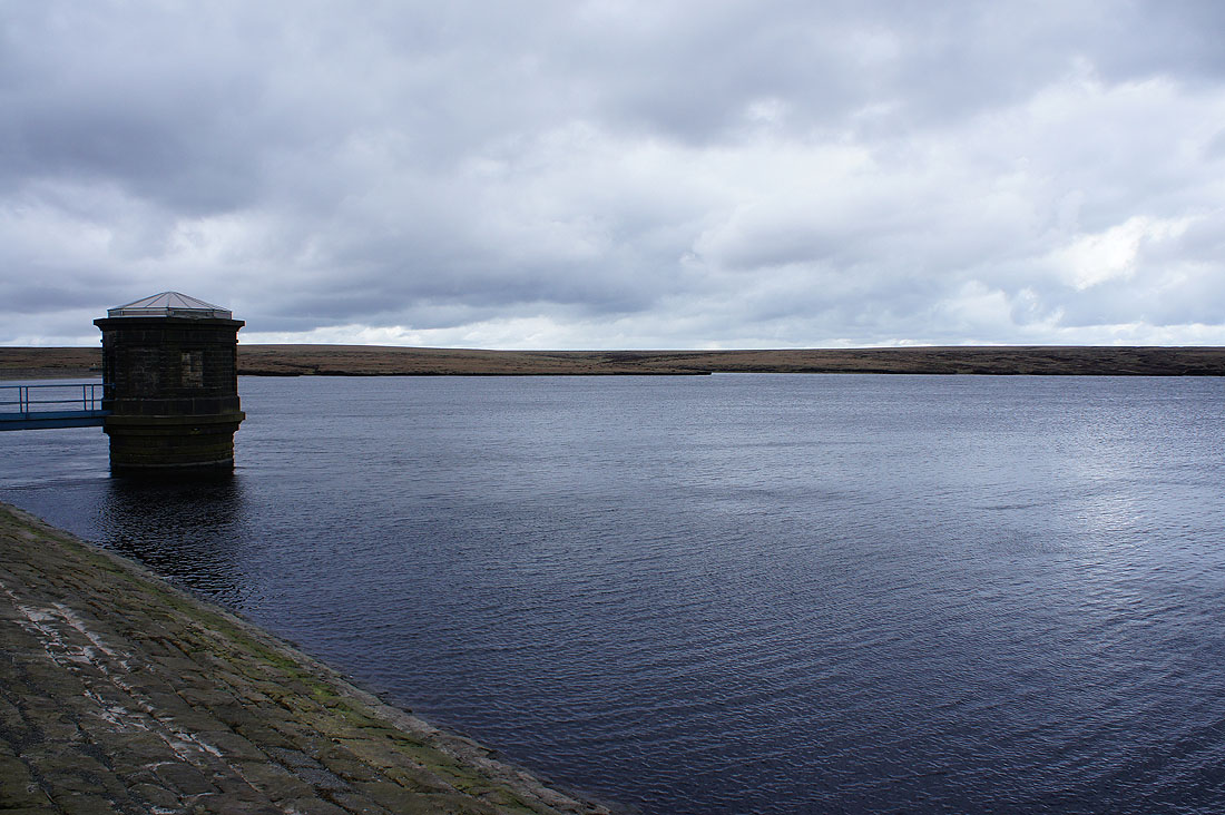
Chew Reservoir. It's decidedly chilly and windswept up here at the moment.
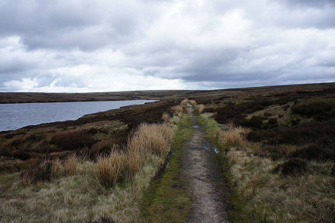
I take the path by the south shore of the reservoir and up Chew Clough...
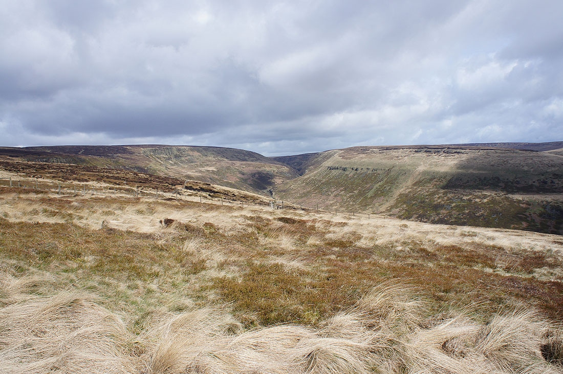
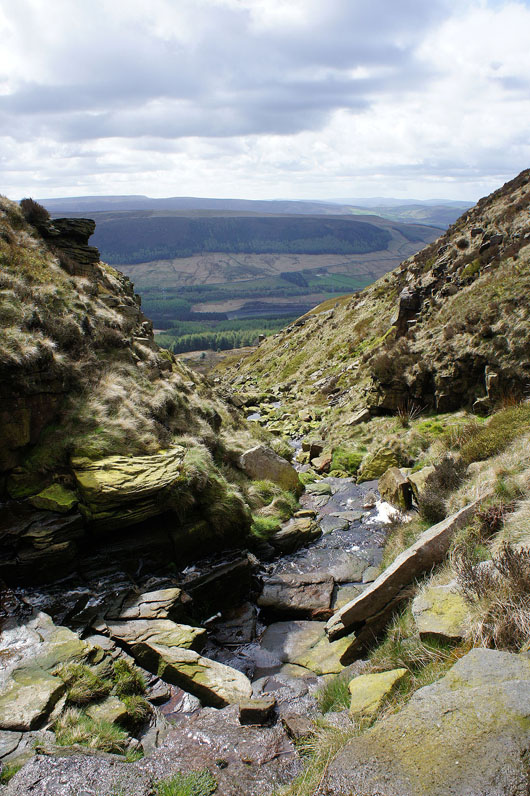
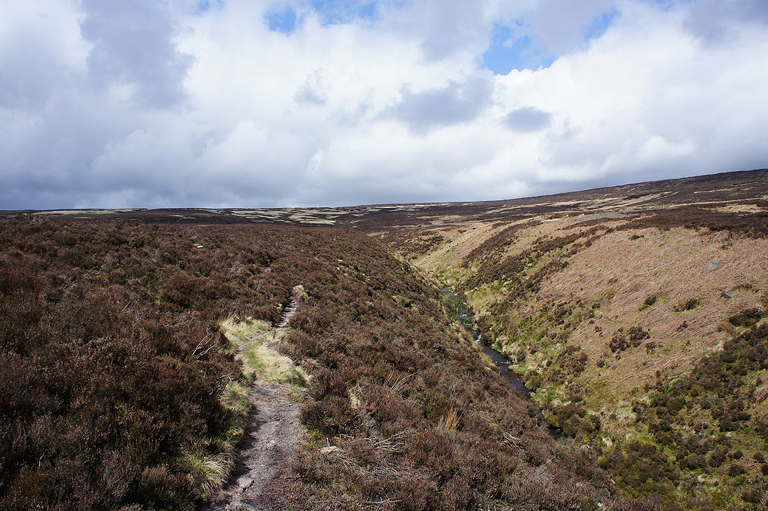
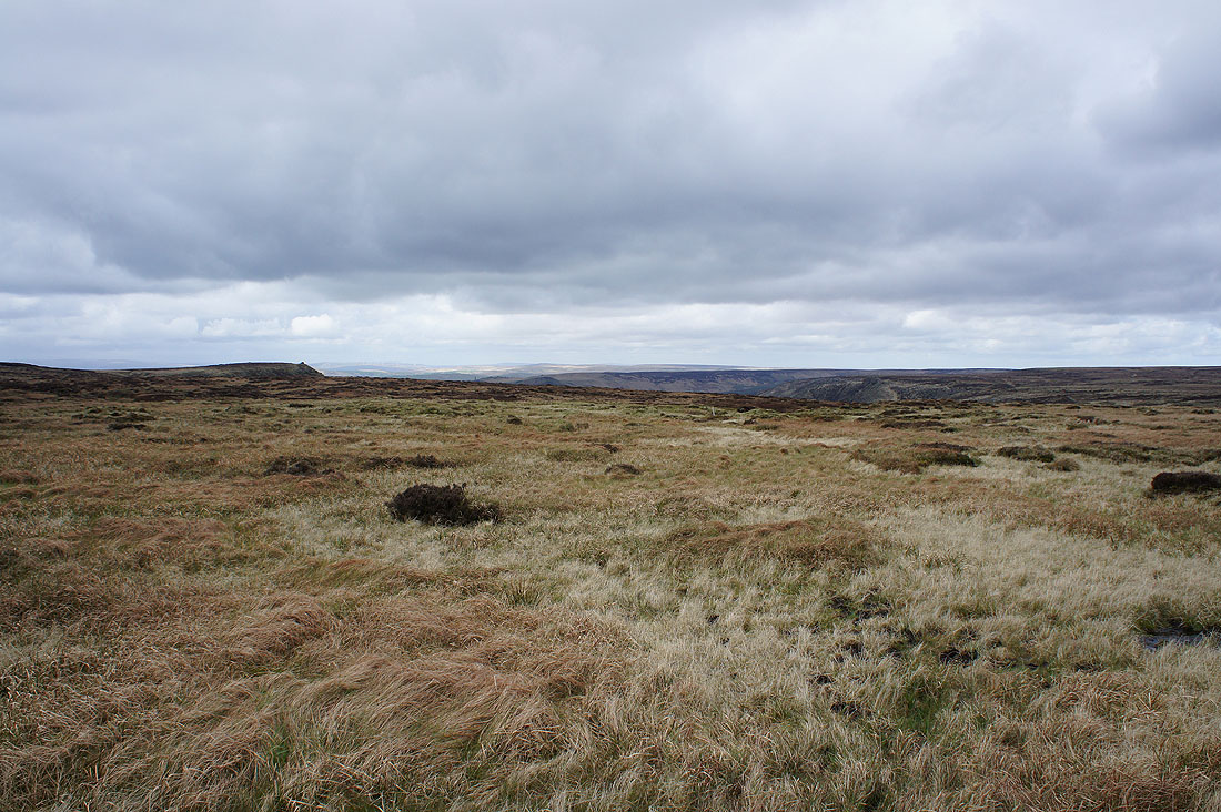
At the top of Laddow Moss
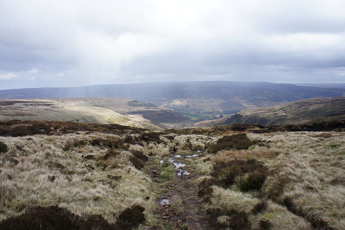
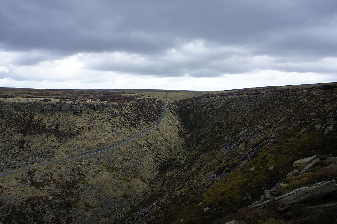
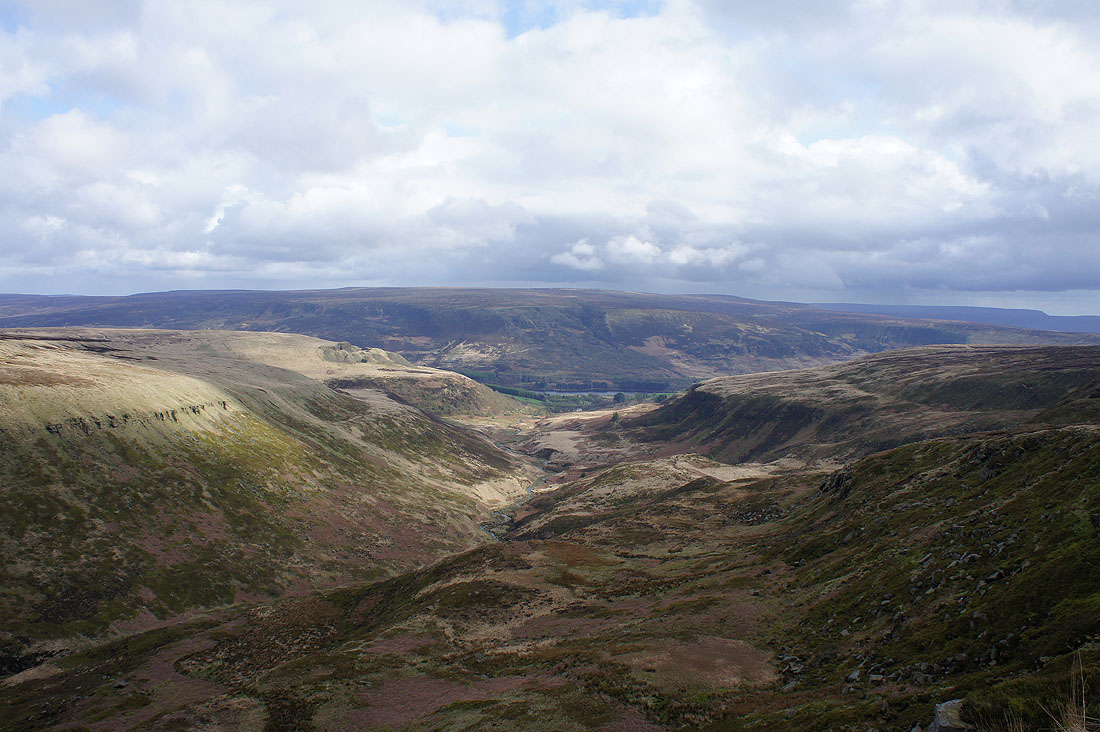
A brief shower clears as I approach the valley of Crowden Great Brook and Laddow Rocks
Black Hill from Laddow Rocks
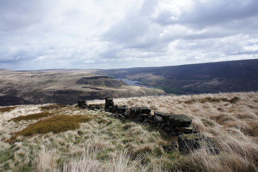
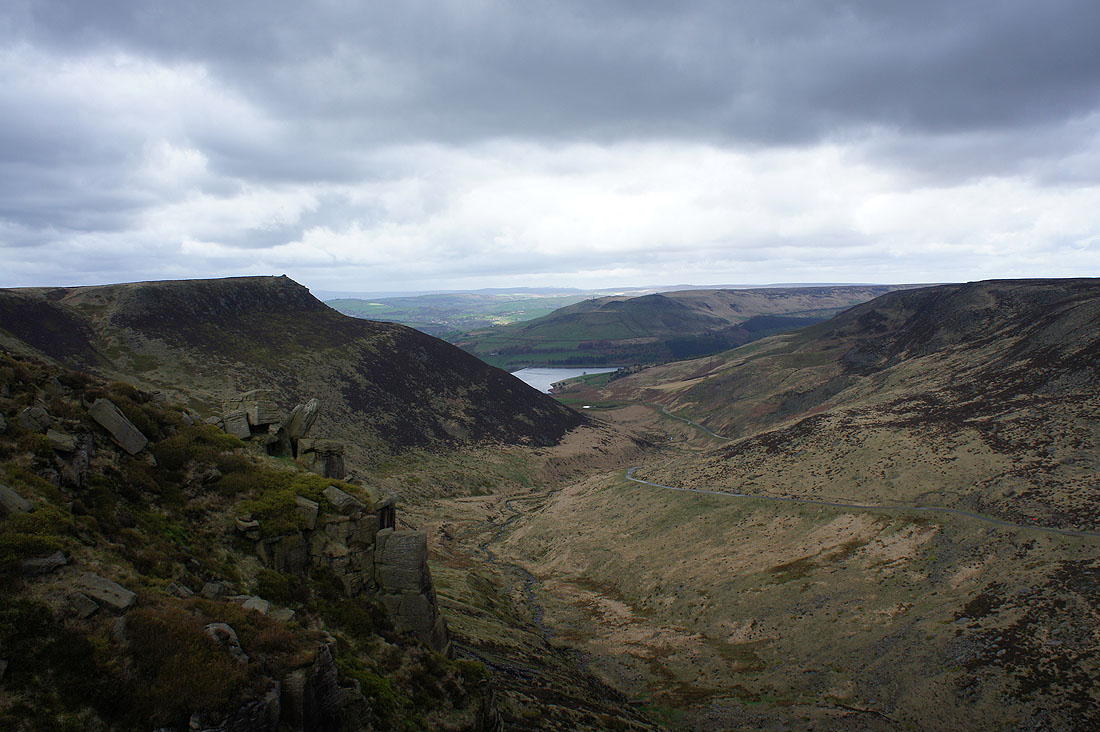
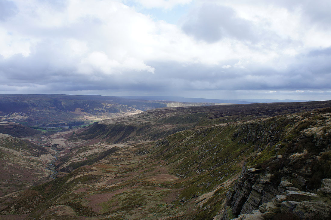
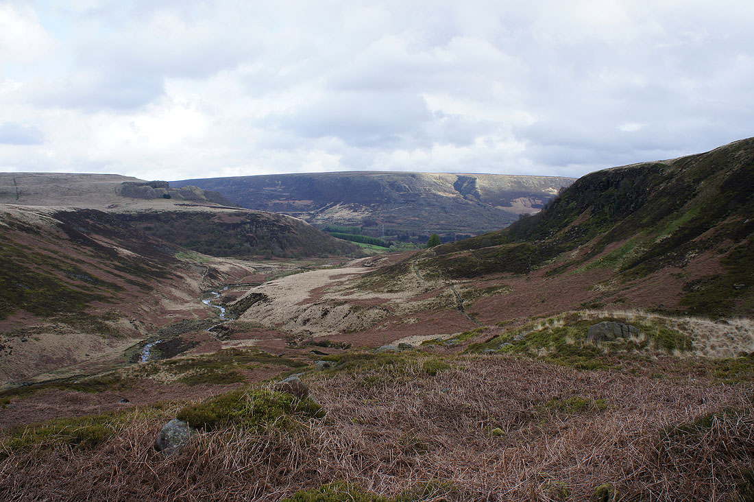
Looking down Crowden Great Brook and across Longdendale to Bleaklow
If I turn a little to the right I can make out the western end of Kinder Scout and more distant moors
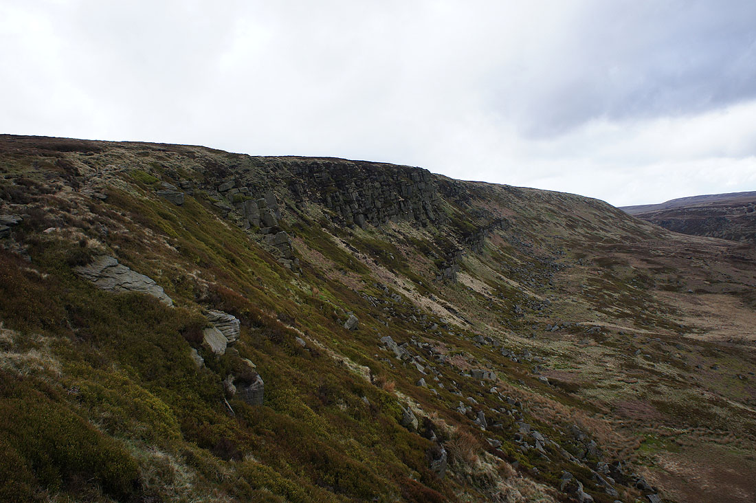
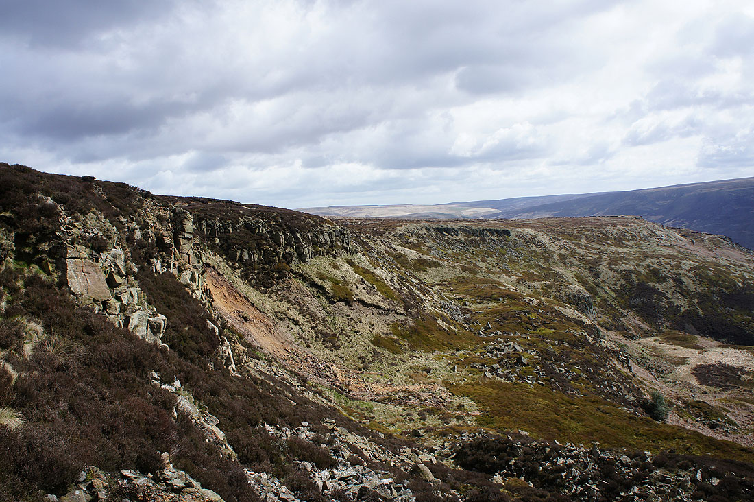
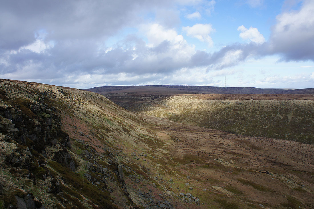
Laddow Rocks
The lowering sun highlights the cleft of Wildboar Clough on the side of Bleaklow as I head back to Crowden