15th April 2023 - Old Cote Moor Top
Walk Details
Distance walked: 13.1 miles
Total ascent: 2068 ft
OS map used: OL30 - Yorkshire Dales, Northern & Central areas
Time taken: 7.5 hrs
Route description: Kettlewell-Hawkswick-Littondale-Arncliffe-Litton-Ackerley Moor-Old Cote Moor Top-Middlesmoor Pasture-Knipe Scar-Kettlewell
An old favourite for my walk this weekend. I've walked the moorland ridge between Littondale and Wharfedale from Old Cote Moor Top down to Knipe Scar many times, starting from different locations, usually Arncliffe, and walking up either Littondale or Wharfedale before climbing up onto the ridge. I decided to start from Kettlewell today so that I could make use of the cafe in the village, but since I wanted to walk up Littondale before doing the moorland part of the walk I had to take the footpath from Kettlewell across to Hawkswick to do that. I had a fine spring day for this walk with the best of the sunshine in the morning and during the second half of the afternoon, with a cloudier spell in between.
From the car park in Kettlewell I walked across the bridge over the River Wharfe, took a permissive path by the road, then the public footpath up across the moor and down to Hawkswick in Littondale. After a walk along the road to the footbridge over the River Skirfare, which I crossed, I followed the footpath up Littondale to arrive in Arncliffe at St. Oswald's church. Instead of walking through the centre of the village I took a bridleway to reach the bridge over Cowside Beck at the western edge of the village, which I crossed, then from there I took the track that goes straight on past New Barn and then the footpath that makes its way up Littondale, taking the stepping stones across the River Skirfare, to arrive in Litton. A short walk up the road to the Queen's Arms pub later and I was on the bridleway up onto the moor to Buckden (lunch was taken next to the bridleway). When I reached the top of the bridleway I left it for the trig point on Old Cote Moor Top. The moorland part of the walk was next. A clear enough path follows the wall southeast to reach a ladder stile, which I crossed onto the Wharfedale side of the fell to continue walking down the ridge all the way to Knipe Scar. I then made my way north along the edge of the scar above Wharfedale to pick up the footpath to Kettlewell, and I then retraced my steps back to the car park in Kettlewell.
Route map
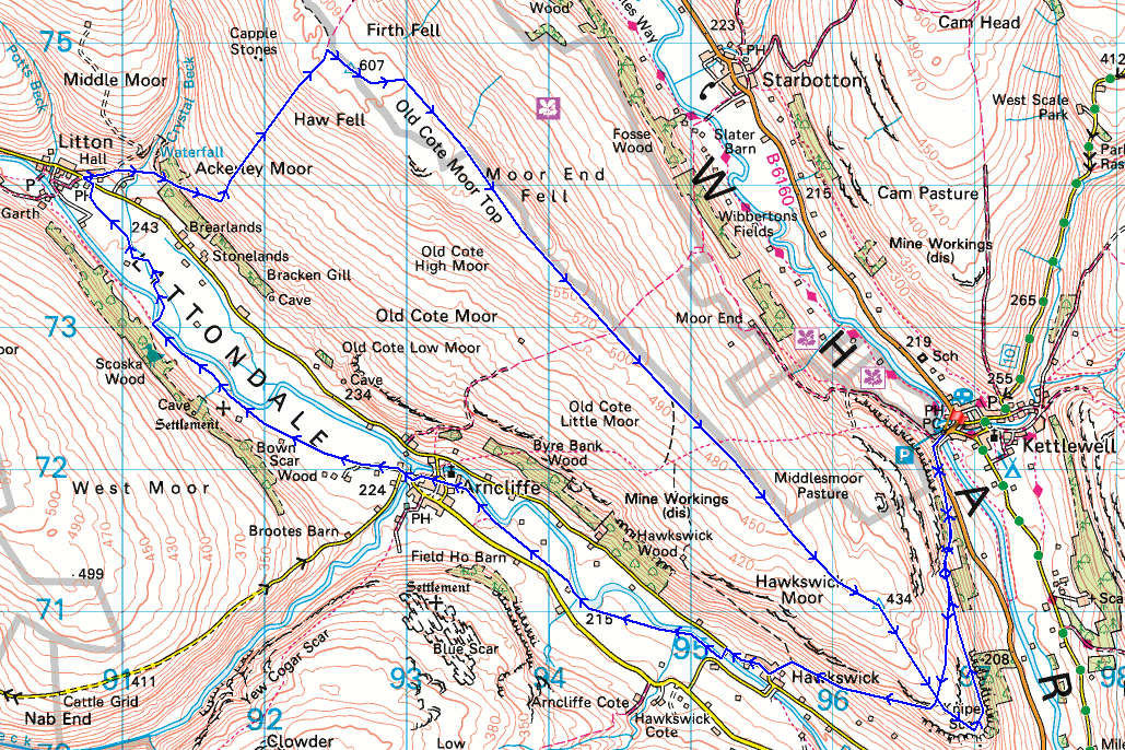
© Crown copyright. All rights reserved. License number PU 100034184.
Leaving Kettlewell behind by taking the footpath up through Gate Cote Scar..
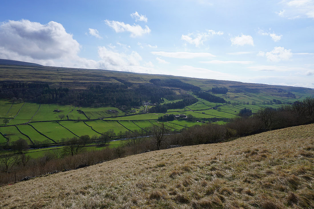
Looking across Wharfedale to Scargill House

A last look back to Kettlewell before I cross over the moor
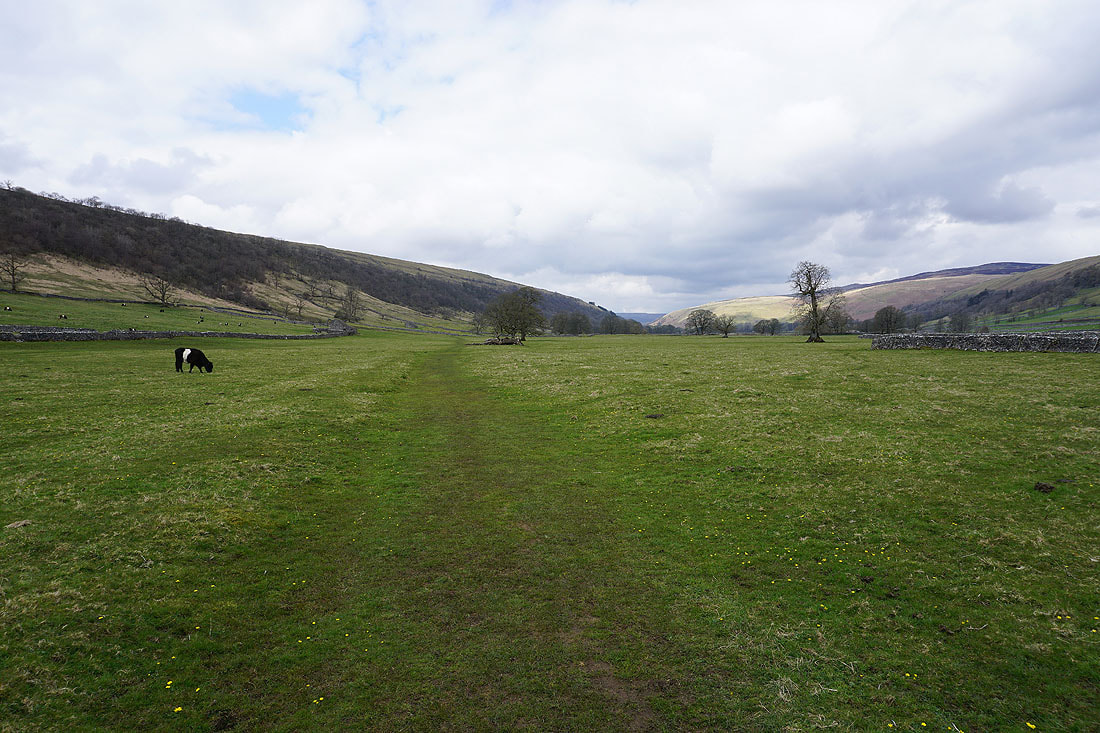
Following the path across the moor to Littondale

Looking down Wharfedale to Burnsall Fell
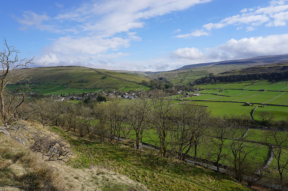
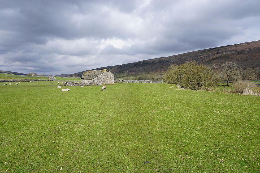
Heading down to Hawkswick, with views across Littondale...
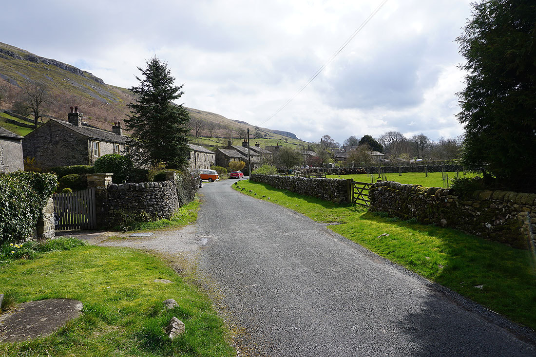
In the hamlet of Hawkswick
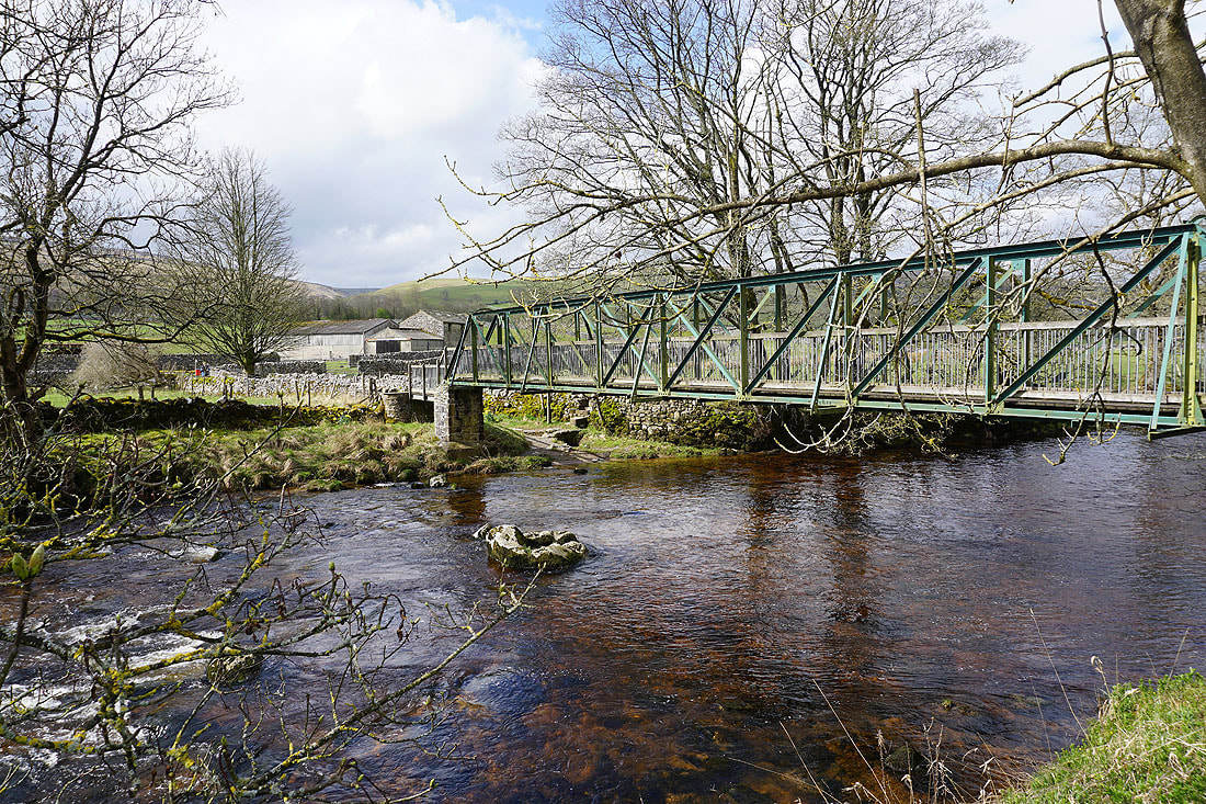
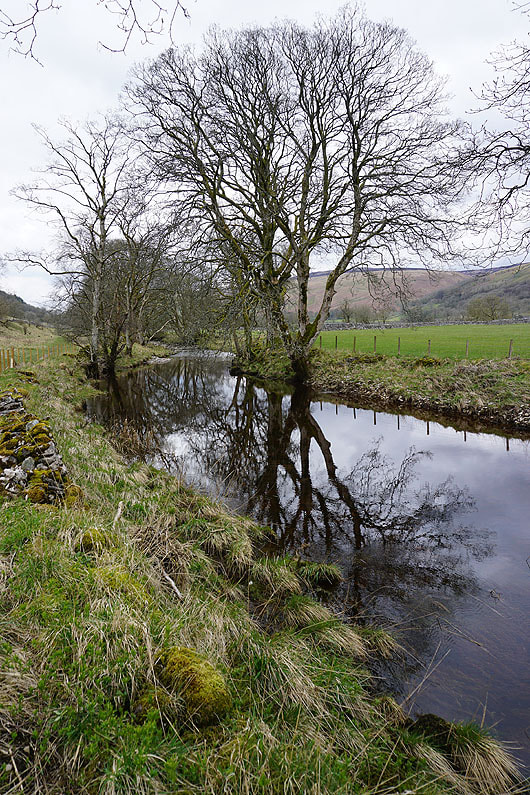
Across the footbridge over the River Skirfare
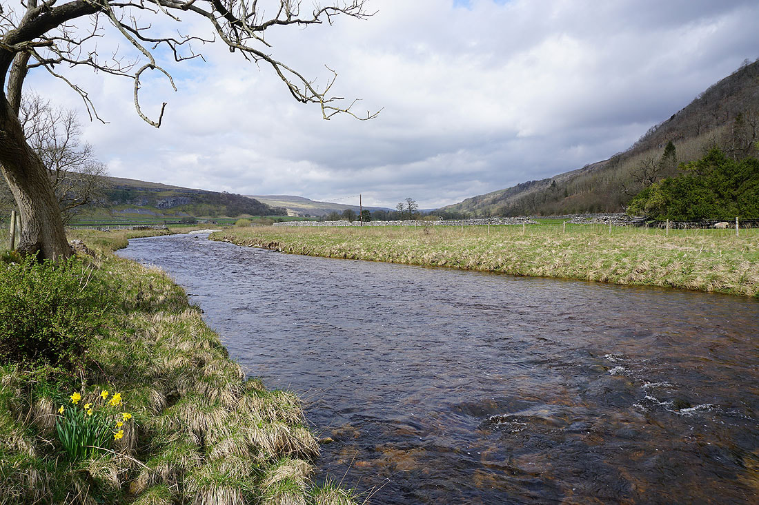
After crossing the footbridge I take the footpath up Littondale to Arncliffe......


St. Oswald's church in Arncliffe
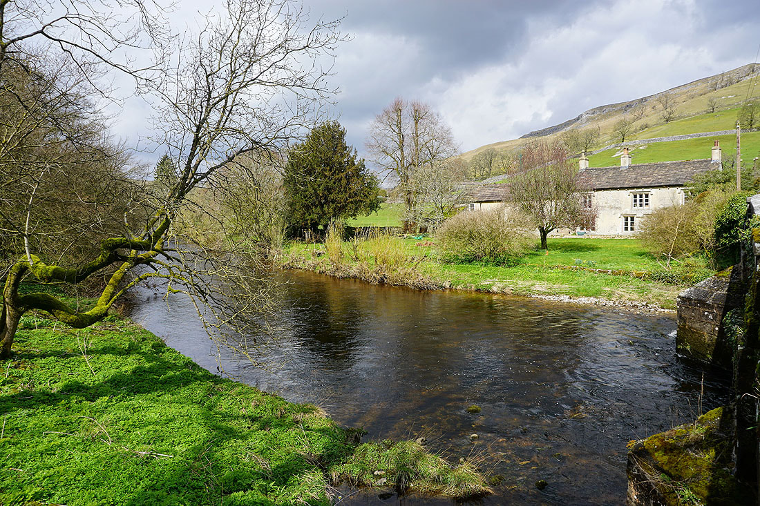
Before walking through Arncliffe, a photo of Bridge End on the other side of the River Skirfare

Crossing the bridge over Cowside Beck
Onto the path up Littondale from Arncliffe to Litton
|
|
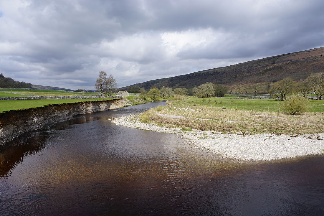
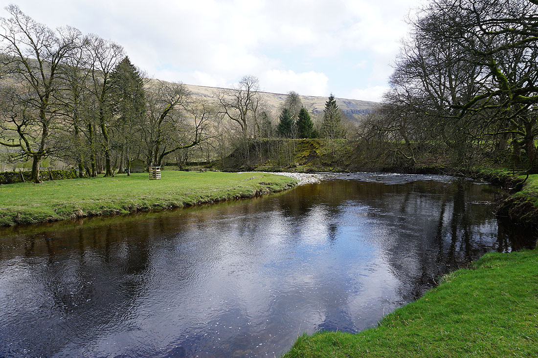
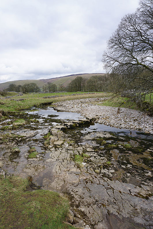
By the River Skirfare, and crossing it via stepping stones
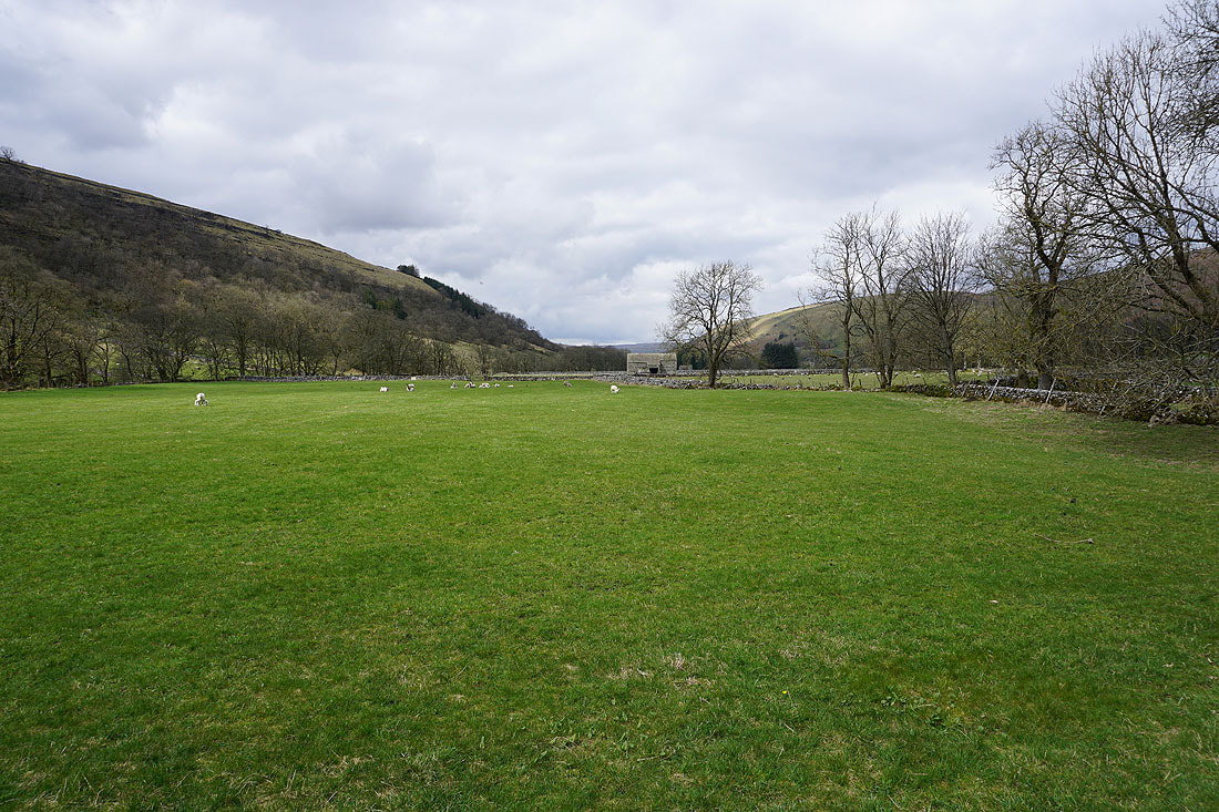
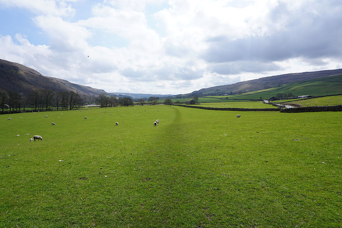
Views of Littondale..
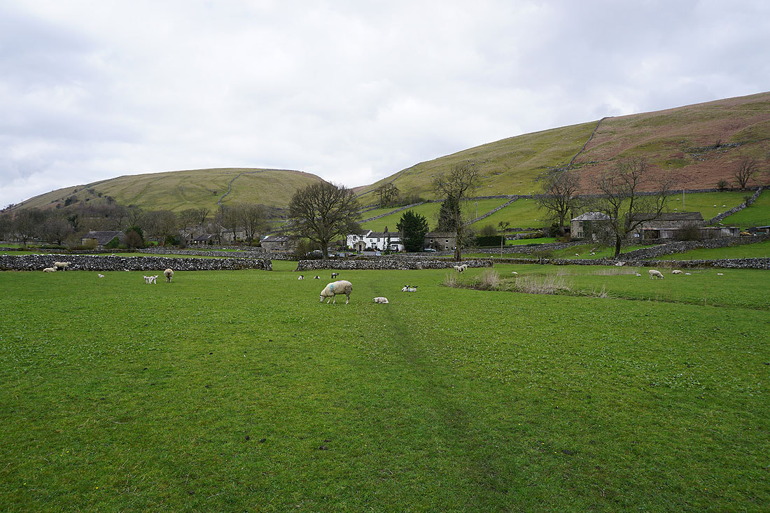
The final approach to the village of Litton
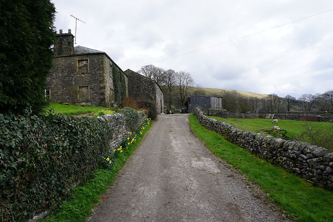
I leave Litton via the bridleway to Buckden
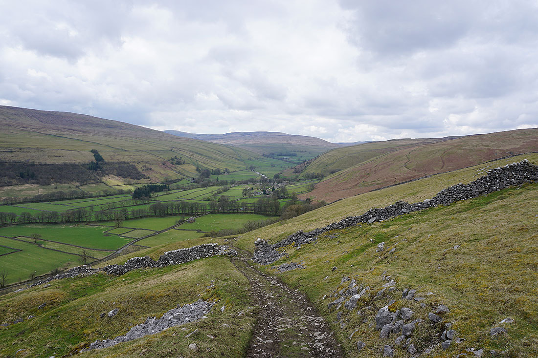
Great retrospective views of Littondale as I take the bridleway up onto Ackerley Moor
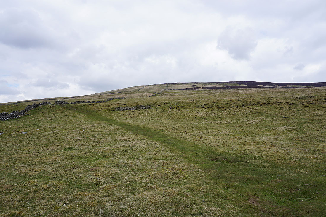
Onwards and upwards
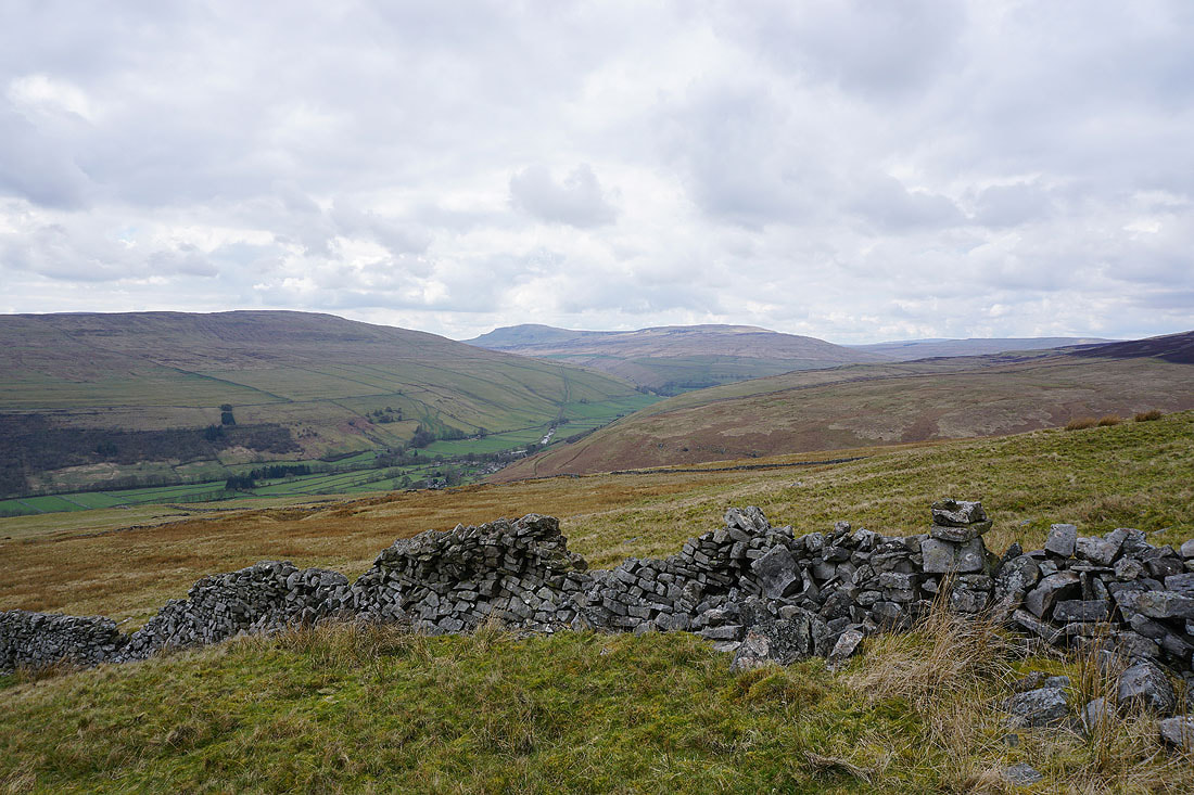
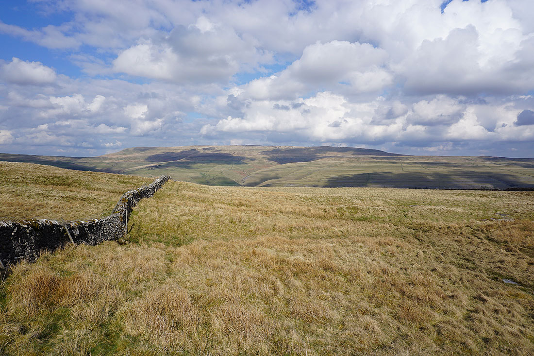
Penyghent and Plover Hill at the head of Littondale
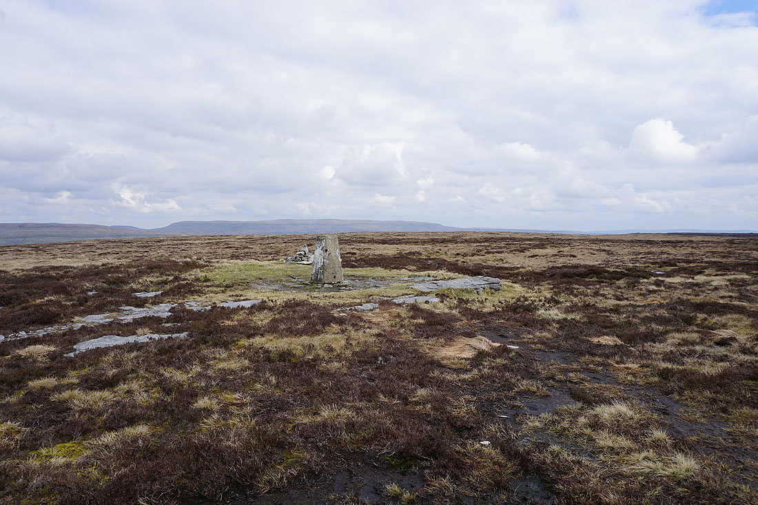
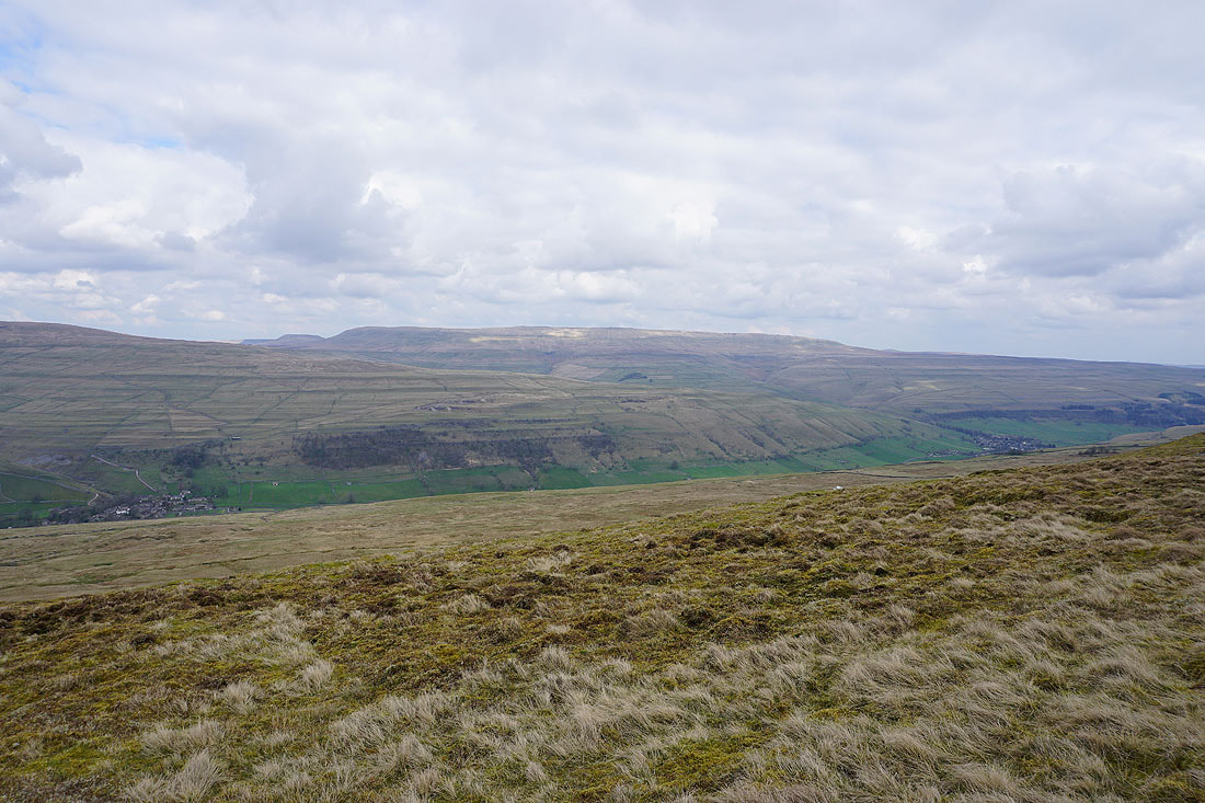
Onto Old Cote Moor Top and I have an extensive and exclusively moorland view. Penyghent, Plover Hill and the nearby Potts Moor to the west.

Through the gate and the trig point on Old Cote Moor Top is just a short distance to the right
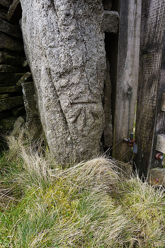
OS benchmark on a gatepost
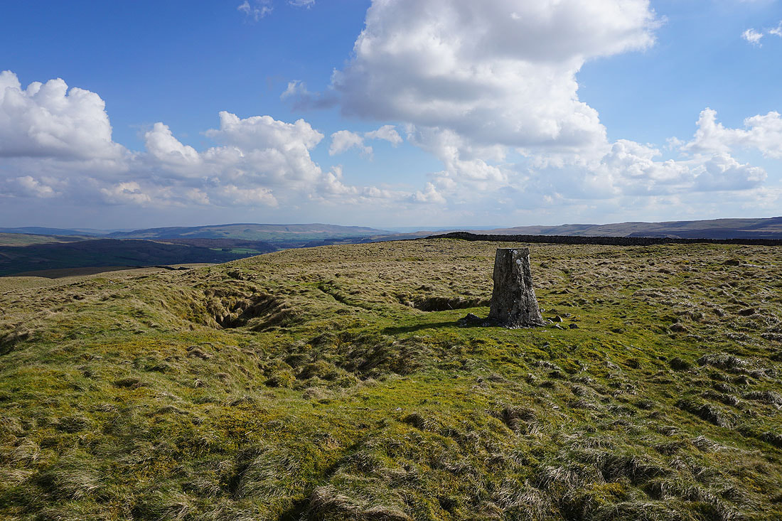
Great Whernside in the distance behind the trig point..
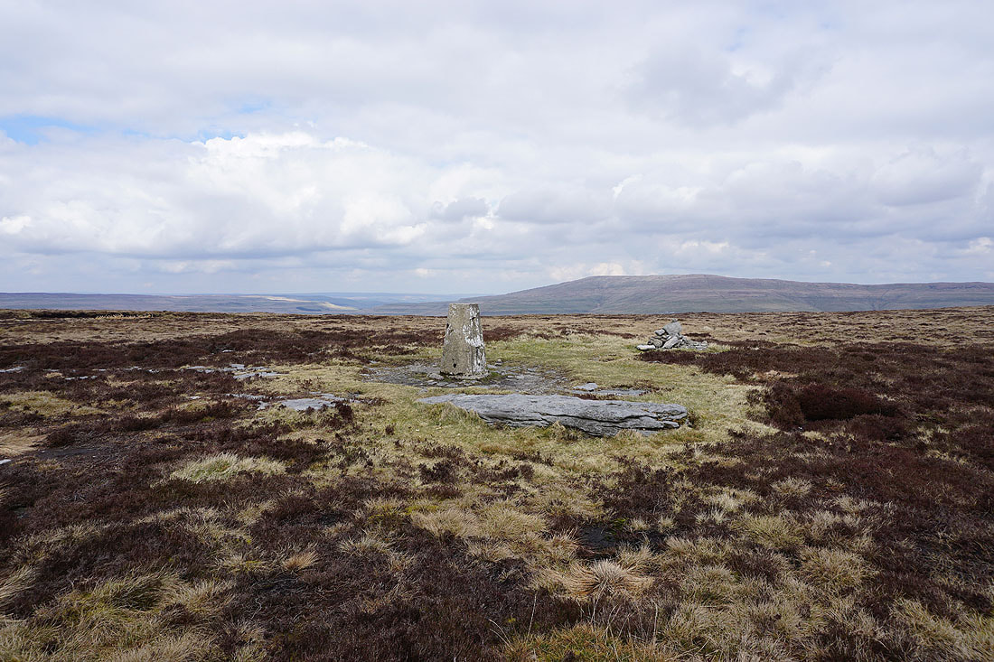
..and Buckden Pike
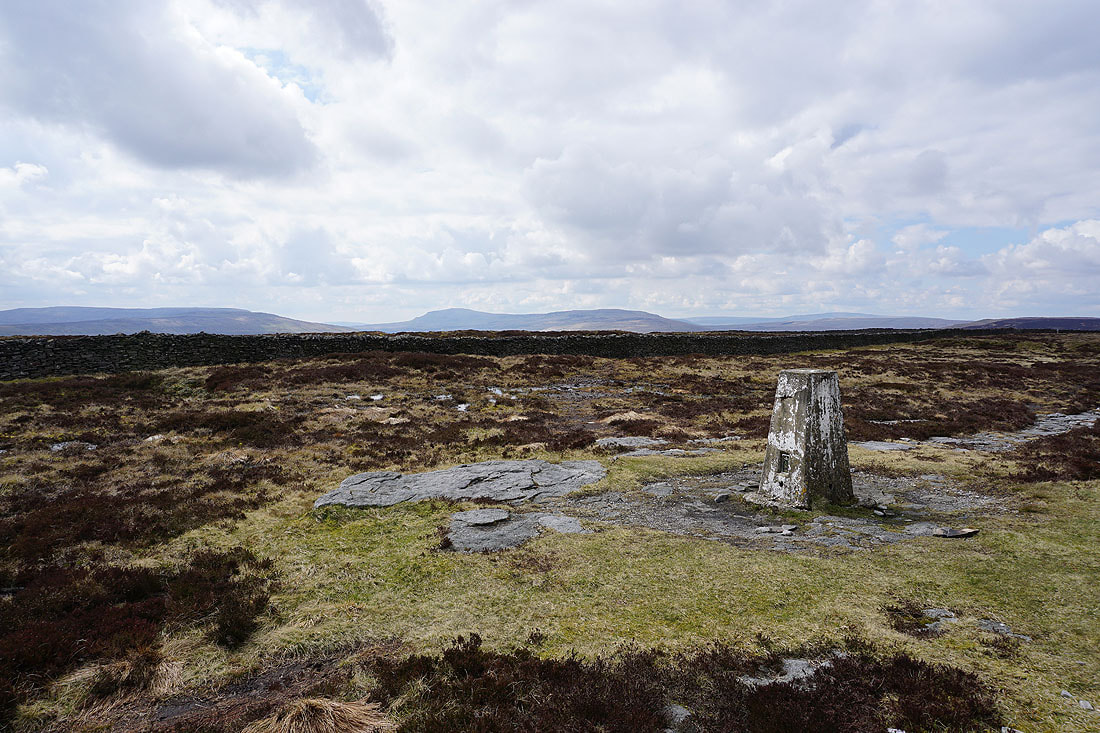
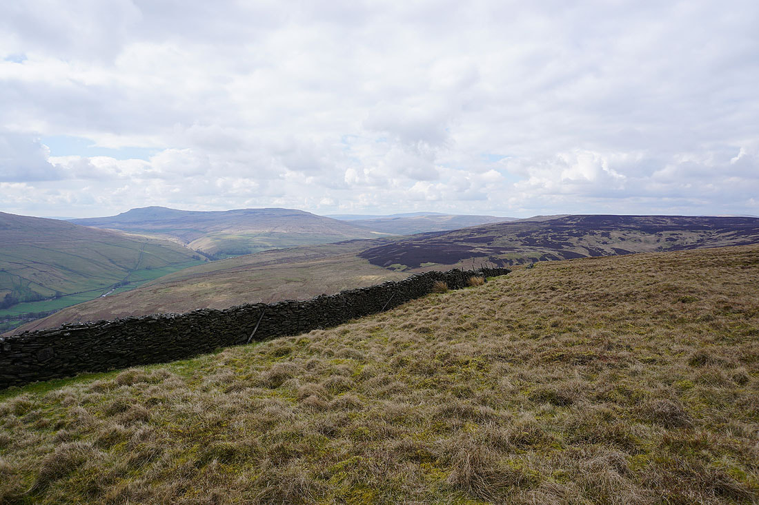
Fountains Fell, Penyghent, and Plover Hill to the west
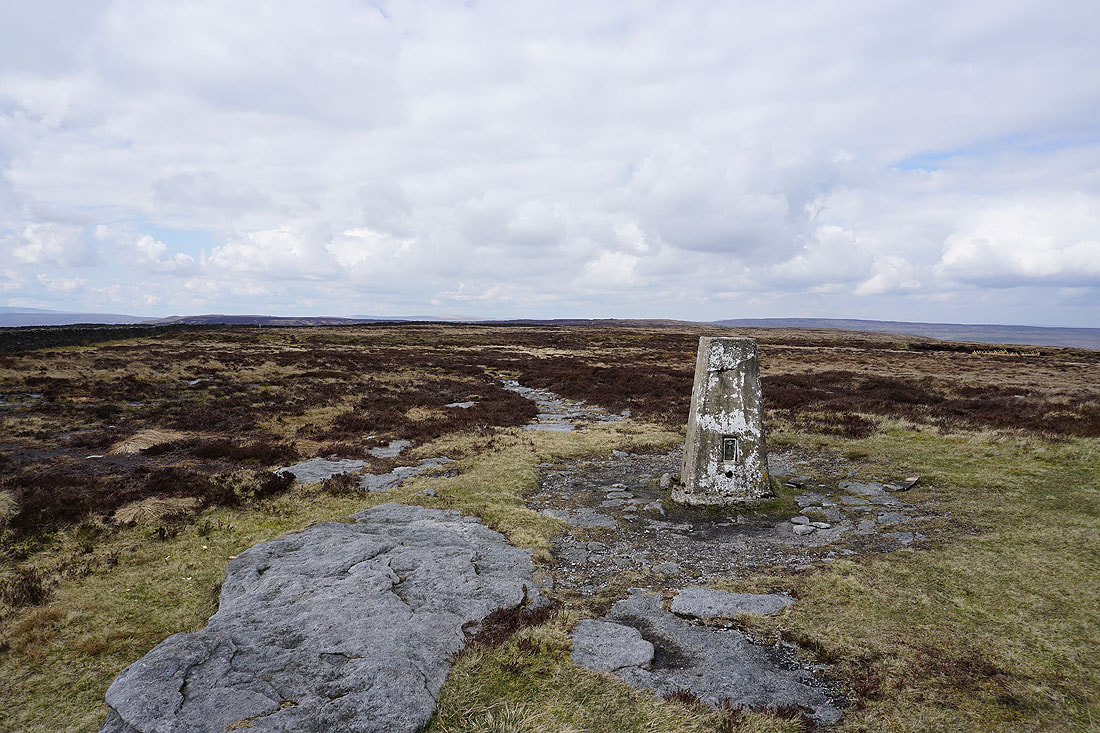
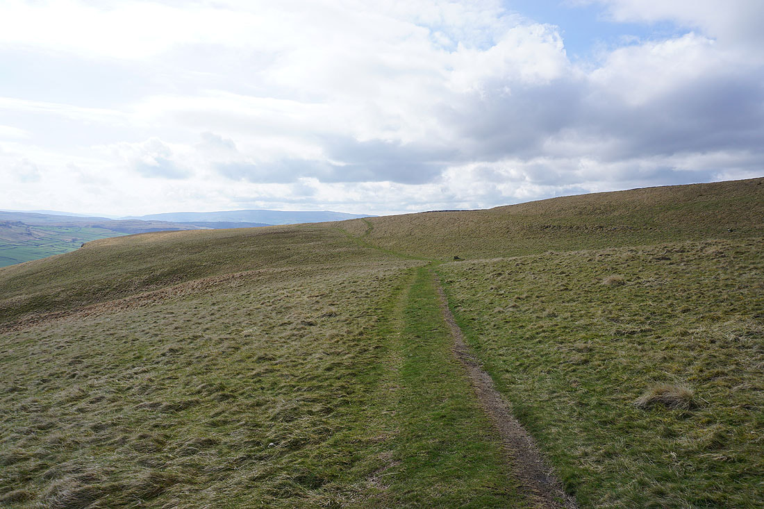
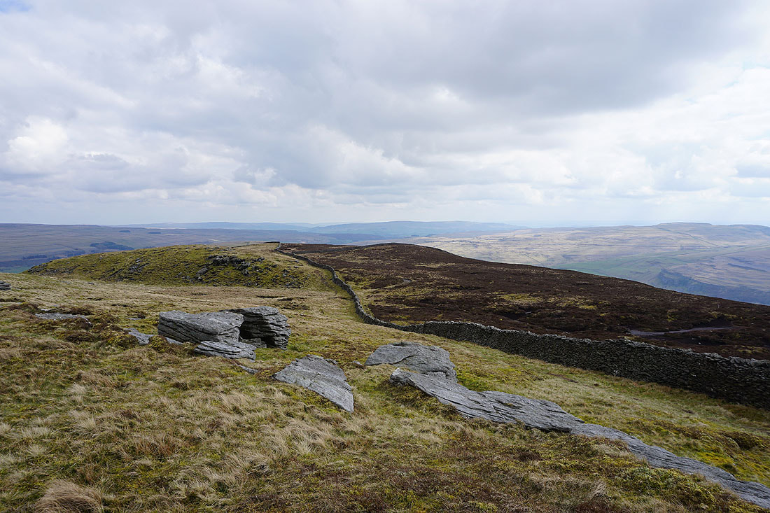
The broad moorland ridge stretches away to the northwest. I've walked every part of it over the years.
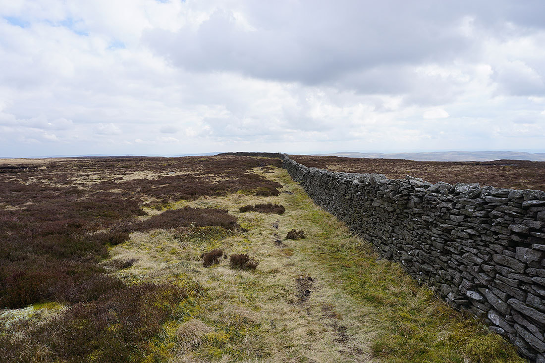
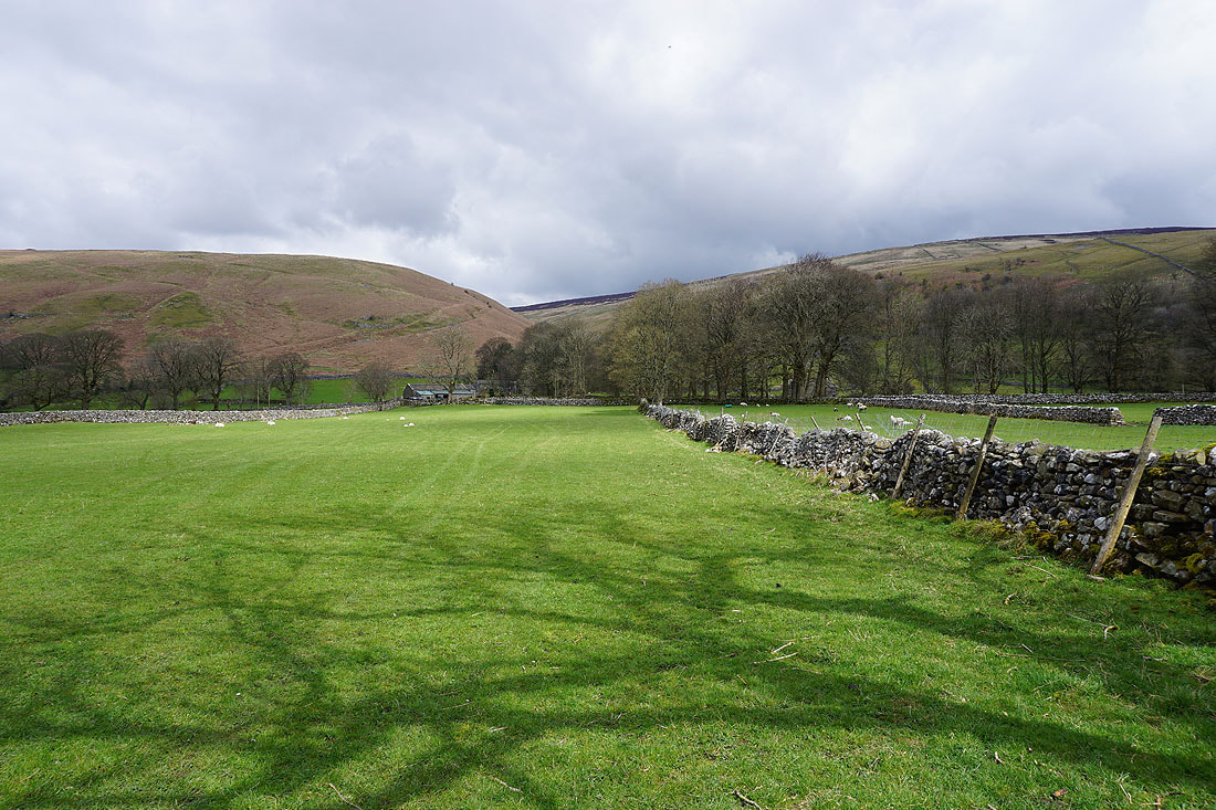
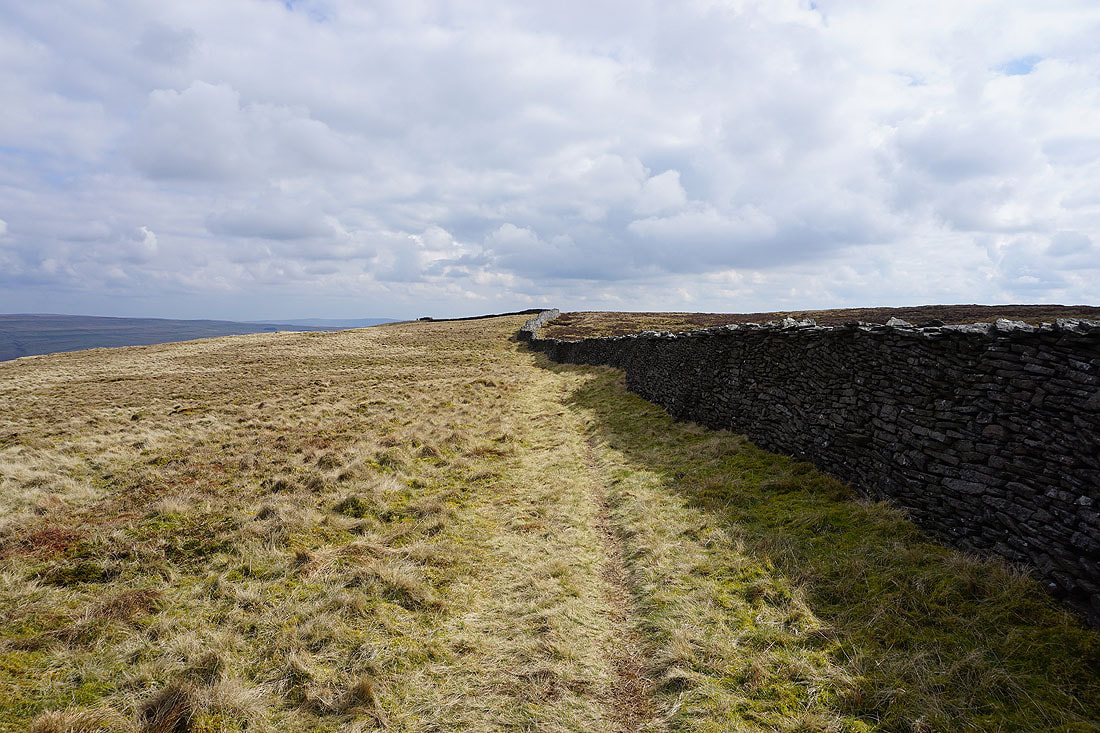
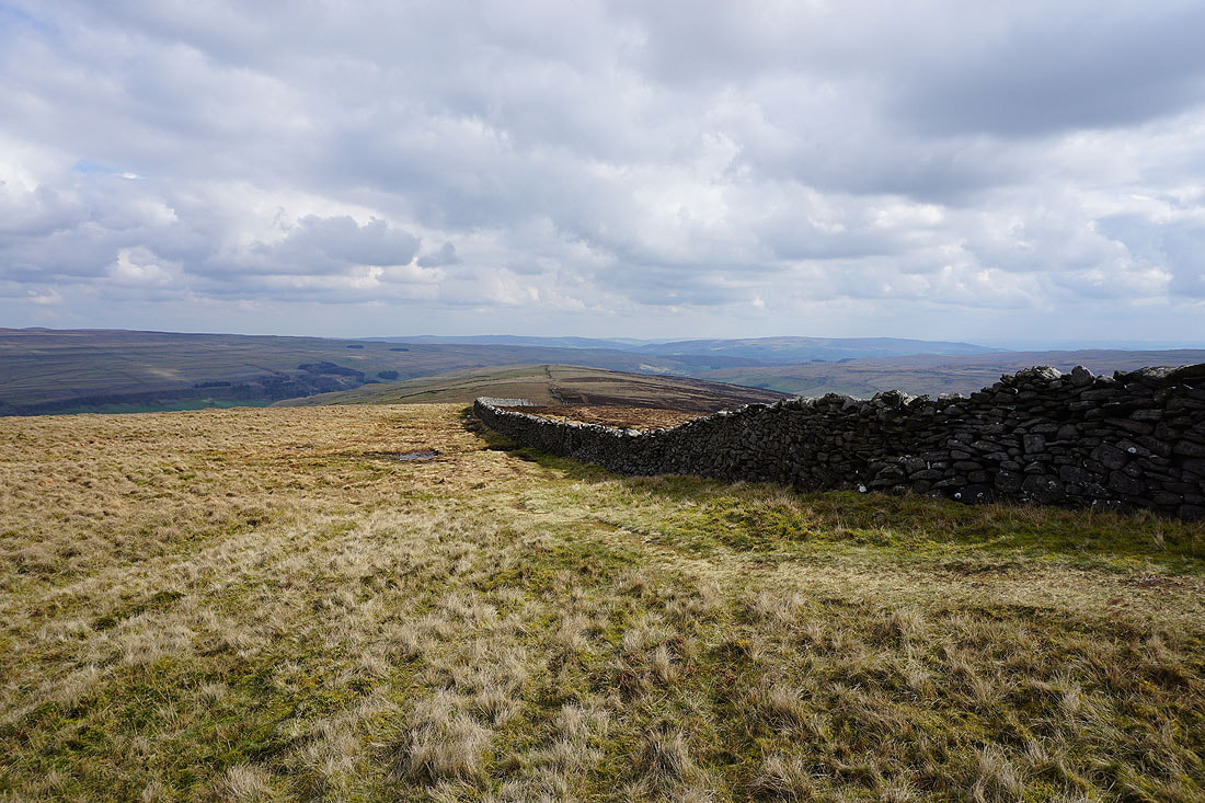
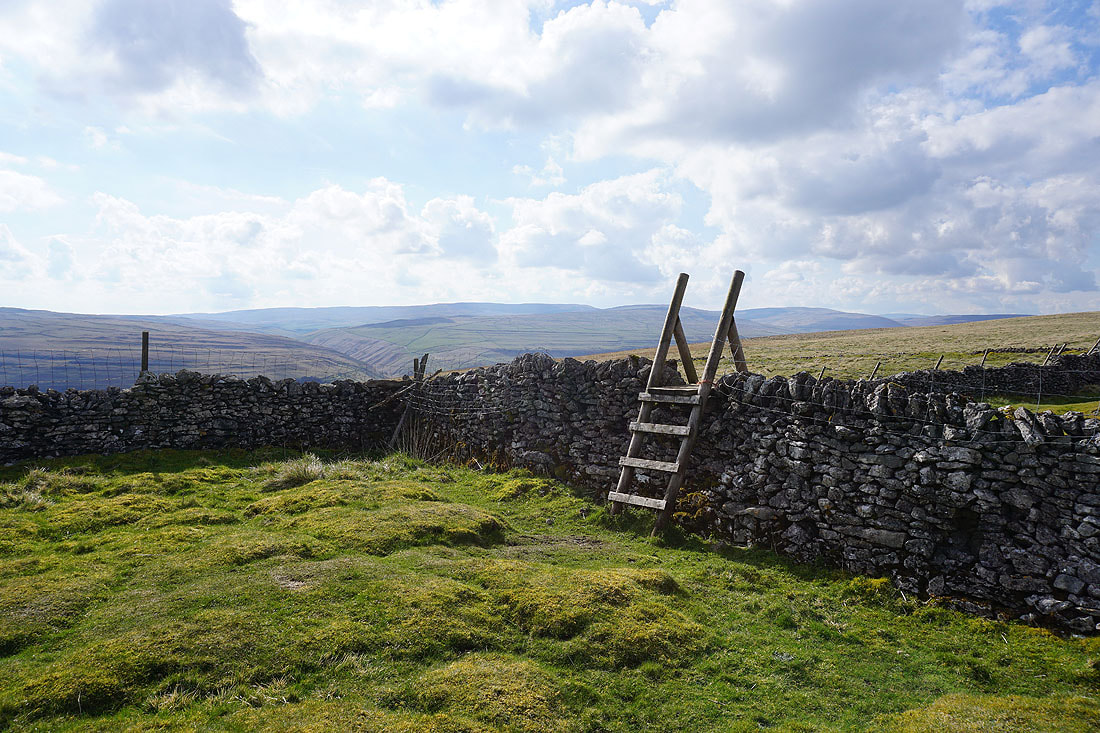
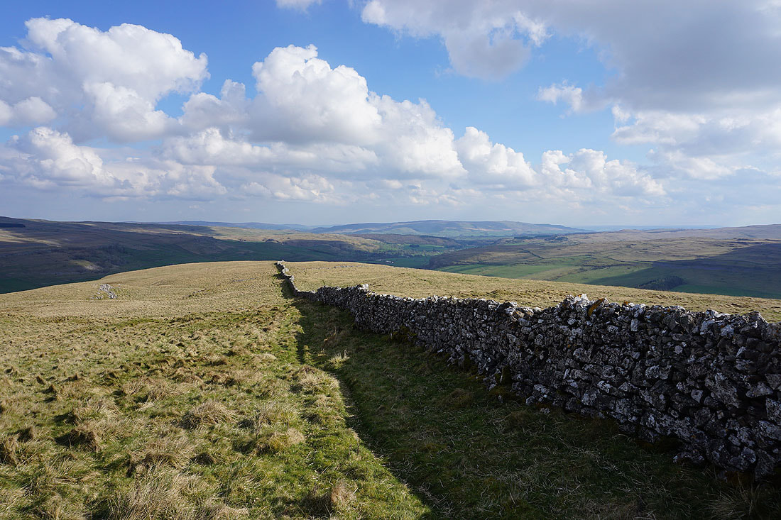
The moortop wall provides a sure guide as I follow it south, then east, to a ladder stile..
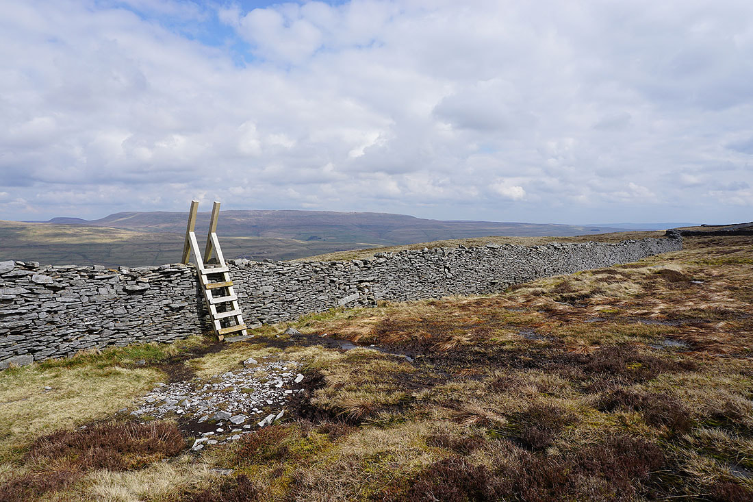
Having crossed the wall, heading south by the wall and I have great views of Wharfedale to my left..
..of Buckden and Buckden Pike..
..and Starbotton, Cam Pasture, and Great Whernside
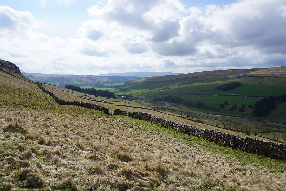
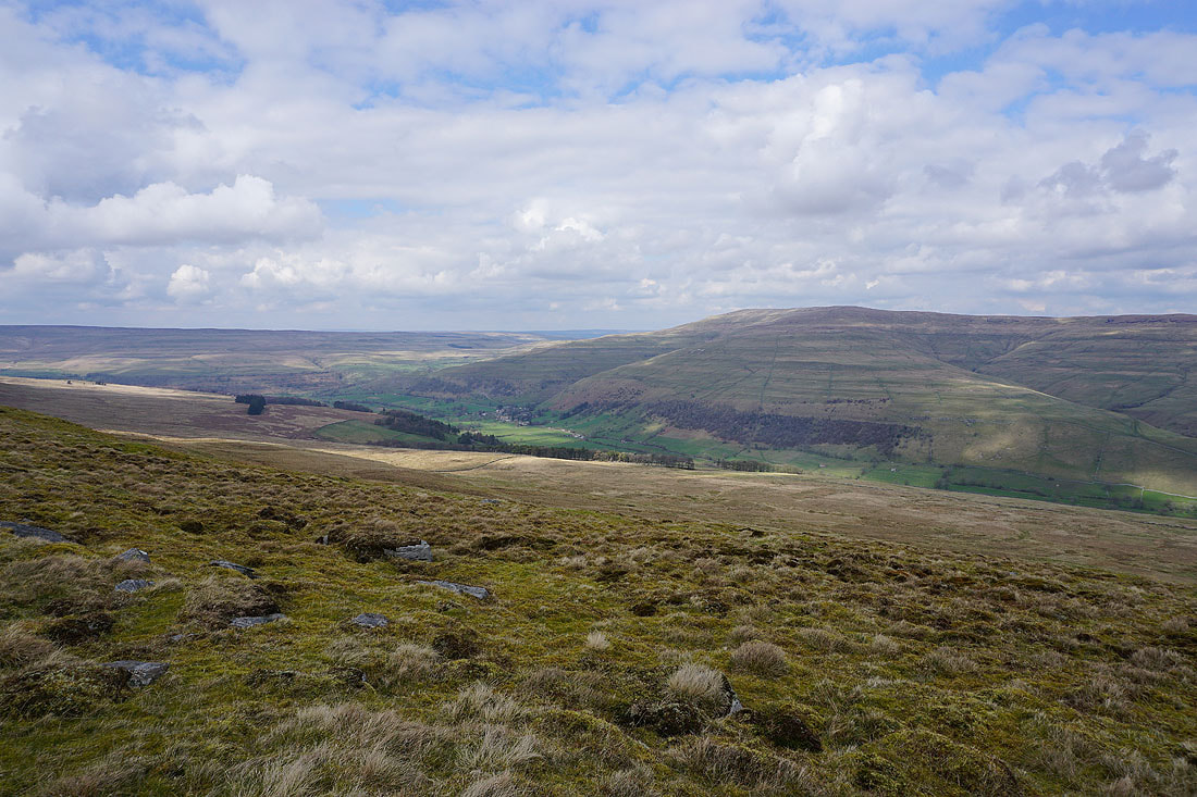
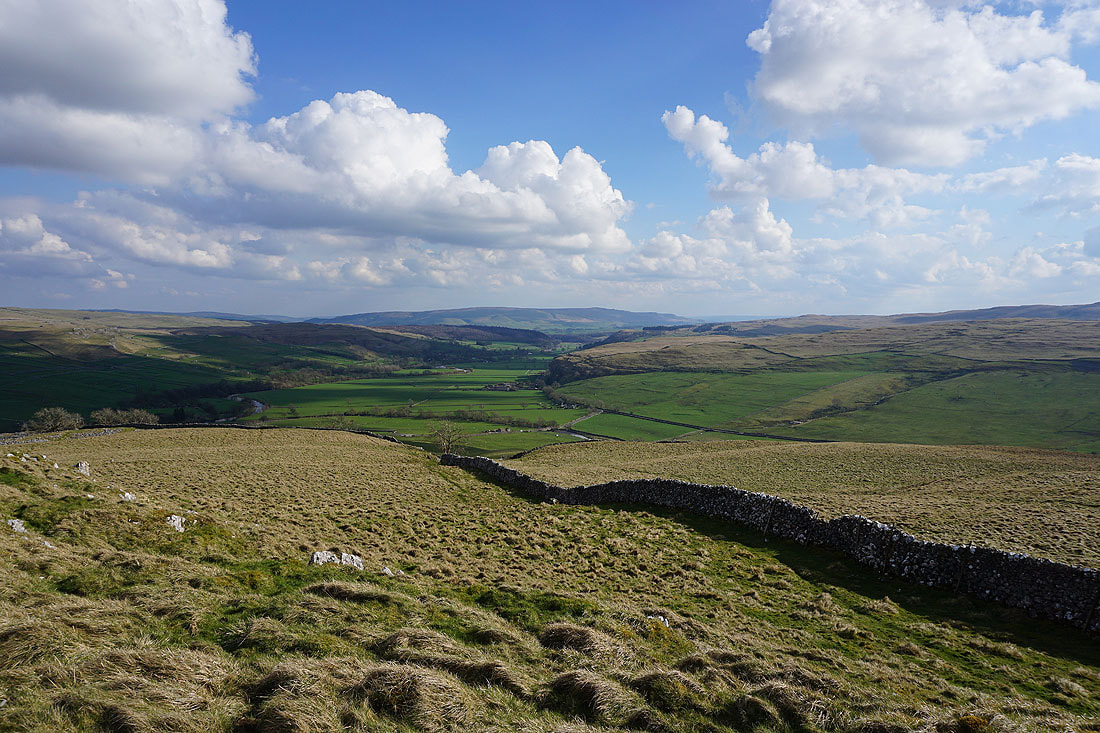
As the height of the moorland ridge starts to drop the view south towards Barden Fell and Barden Moor opens up..
Looking across Littondale to Fountains Fell and Darnbrook Fell as I reach Middlesmoor Pasture

Heading south across Middlesmoor Pasture
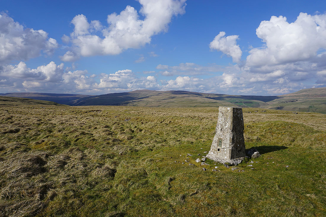
Looking across Wharfedale to Great Whernside
Barden Moor in the distance to the south from the trig point on Middlesmoor Pasture
Buckden Pike
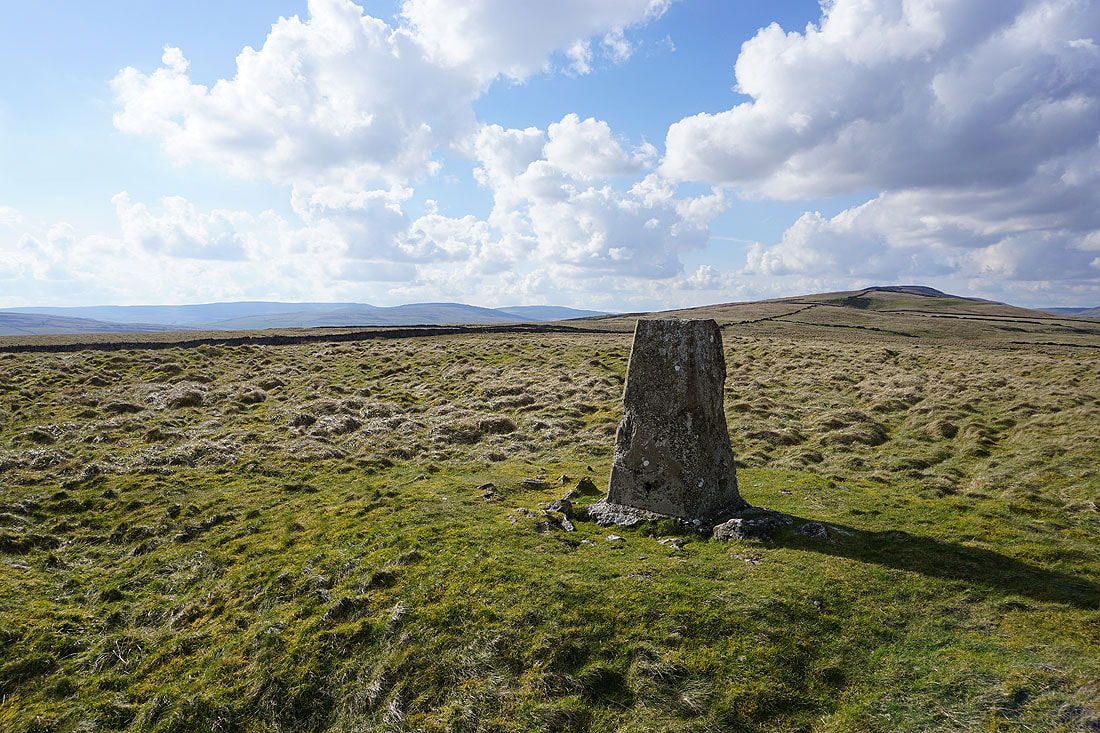
Fountains Fell, Darnbrook Fell and Plover Hill in the distance to the left, with the ridge up to Old Cote Moor Top on the right
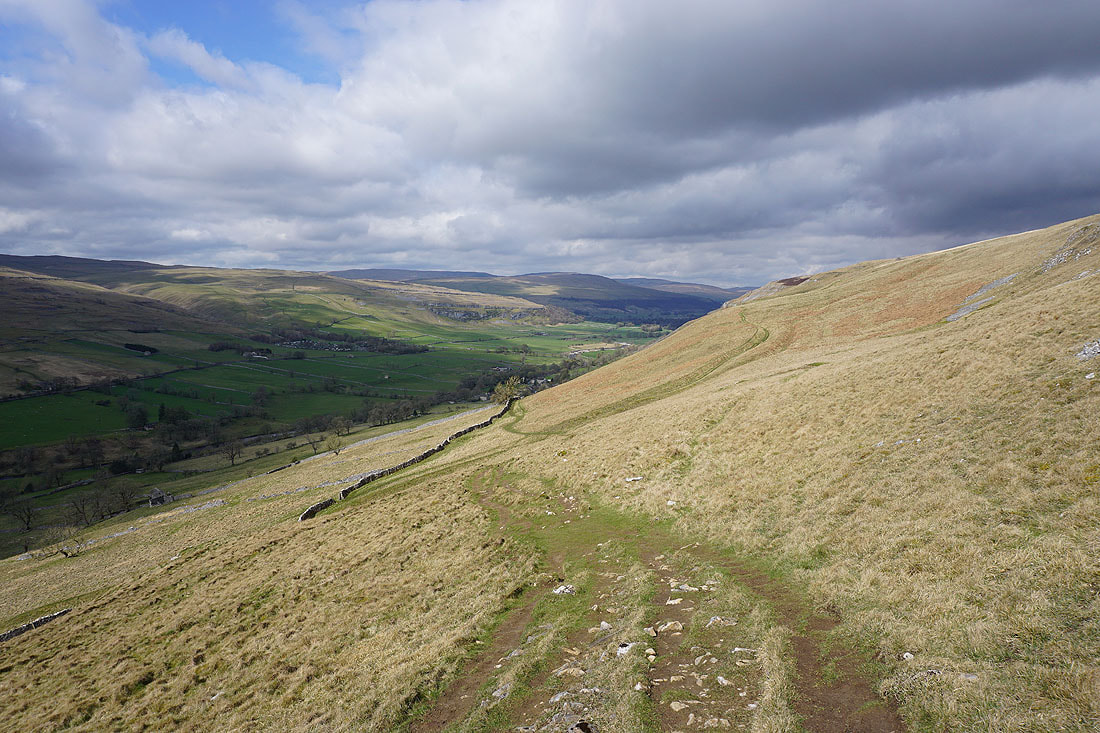
From the trig point I'm following the ridge down to its end at Knipe Scar, where Littondale and Wharfedale meet..
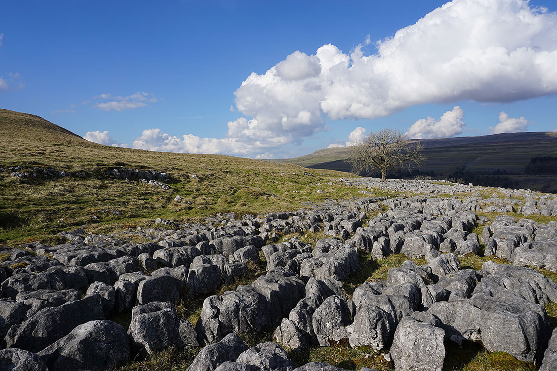
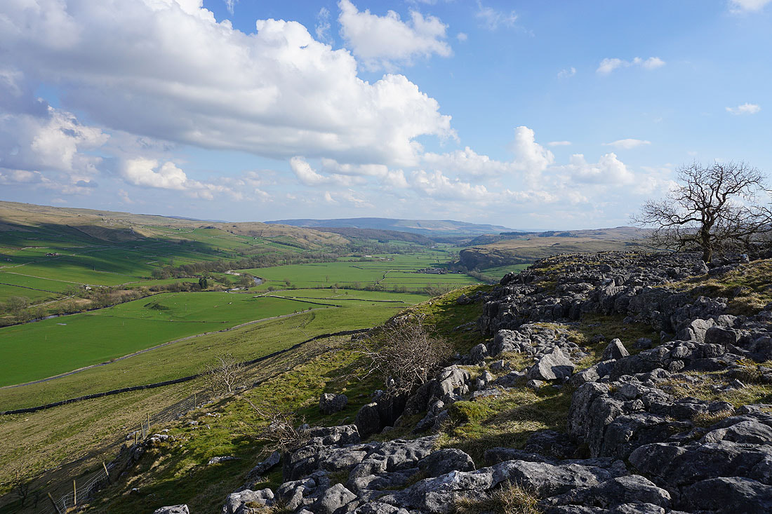
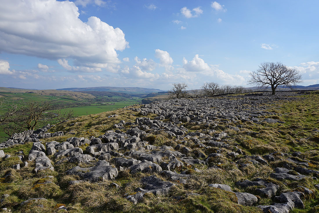
A section of limestone pavement at the end of the ridge will make a good foreground for some photos
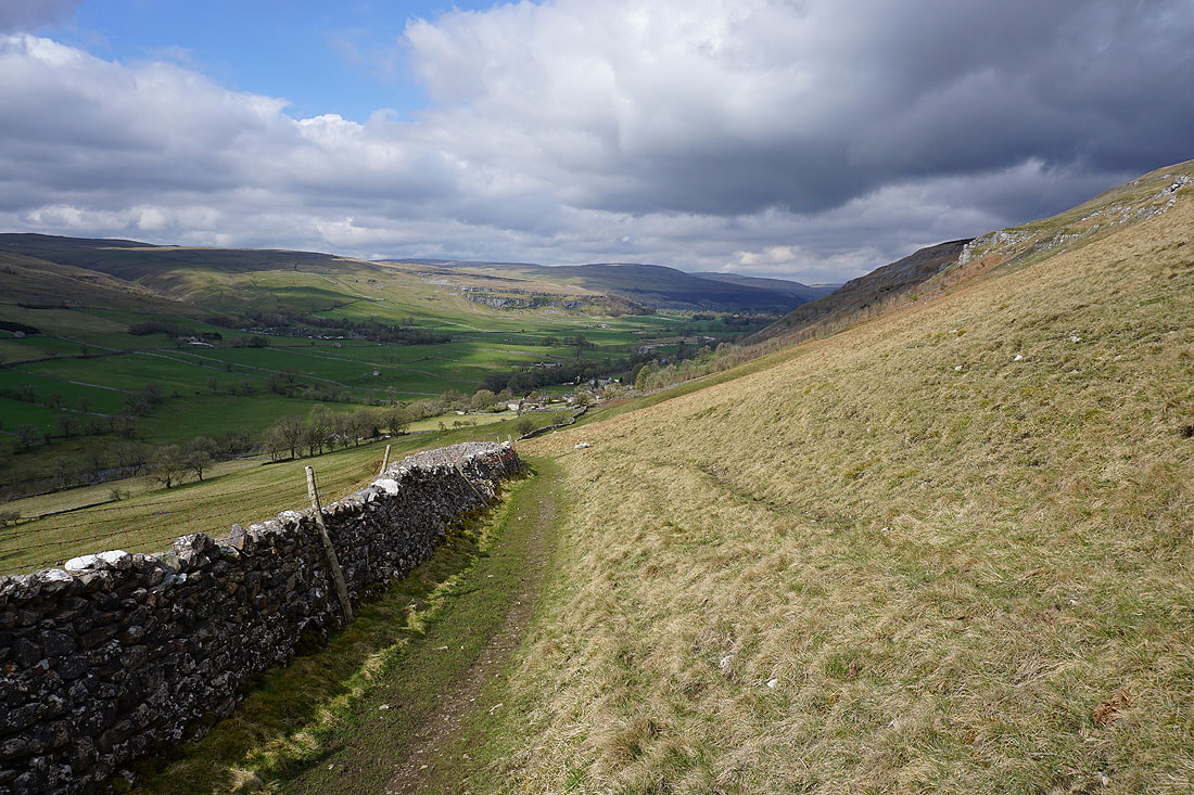
Looking down Wharfedale to Barden Moor with Kilnsey Crag on the right...
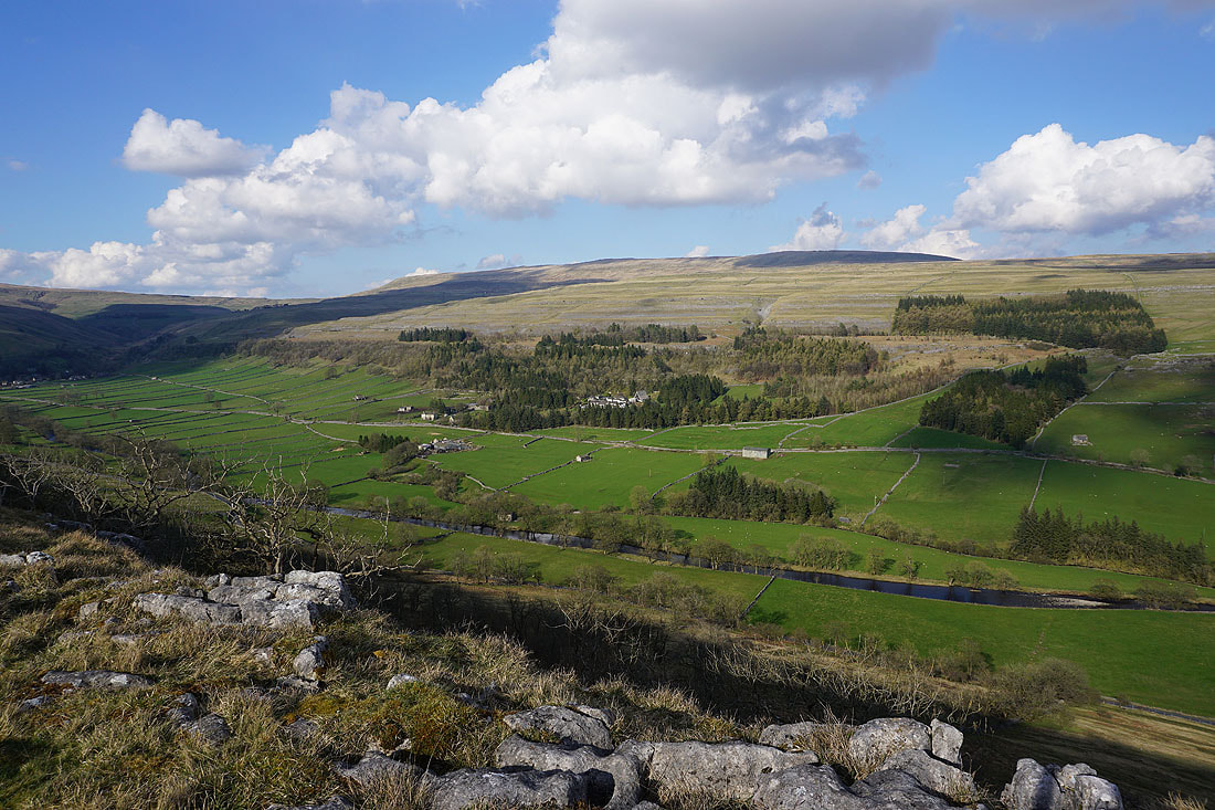
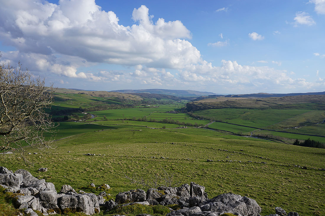
Looking across Wharfedale to Scargill House and Crookacre Wood
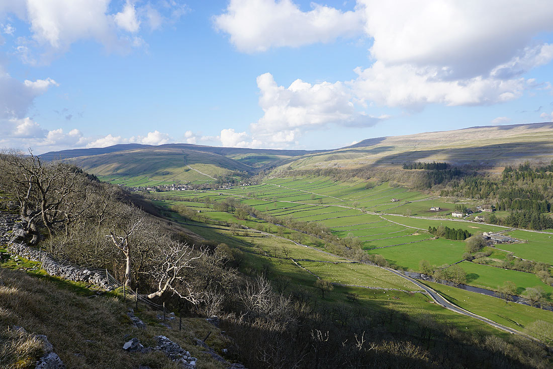
and up the dale to Kettlewell
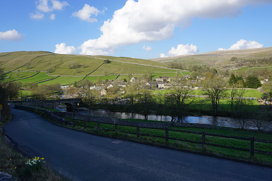
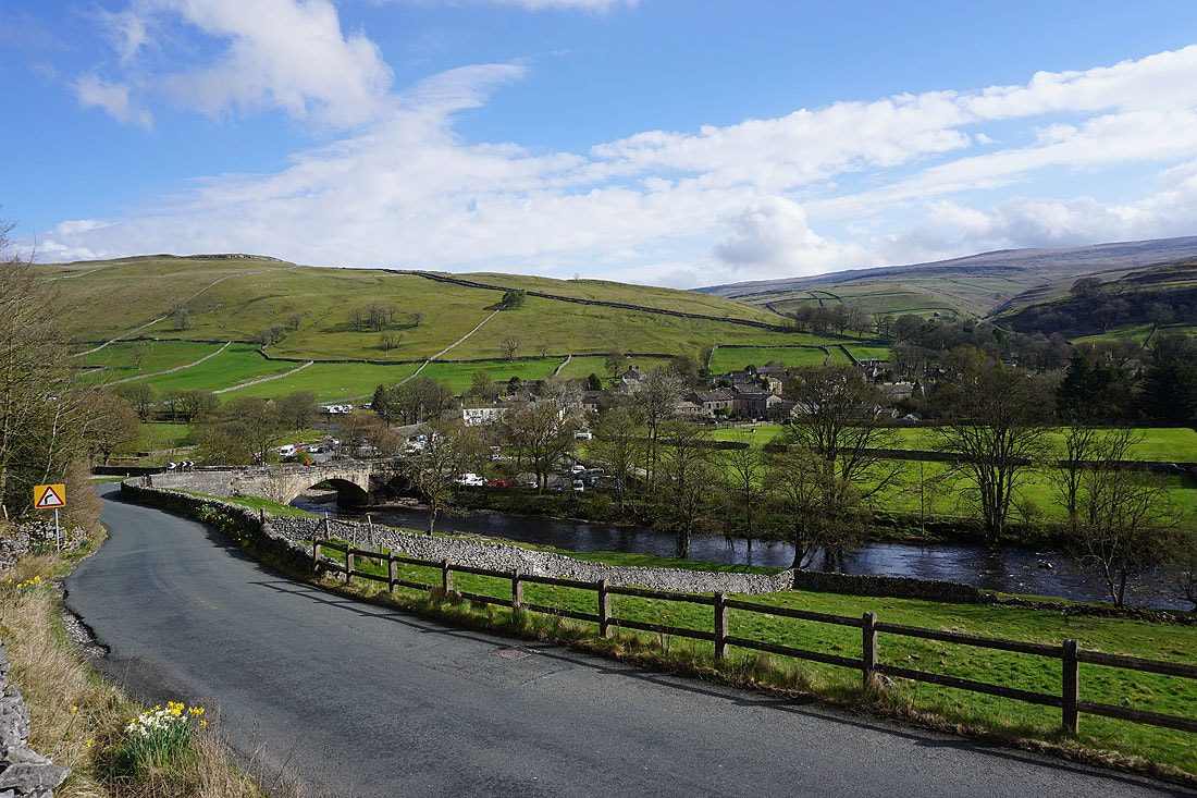
Returning to Kettlewell
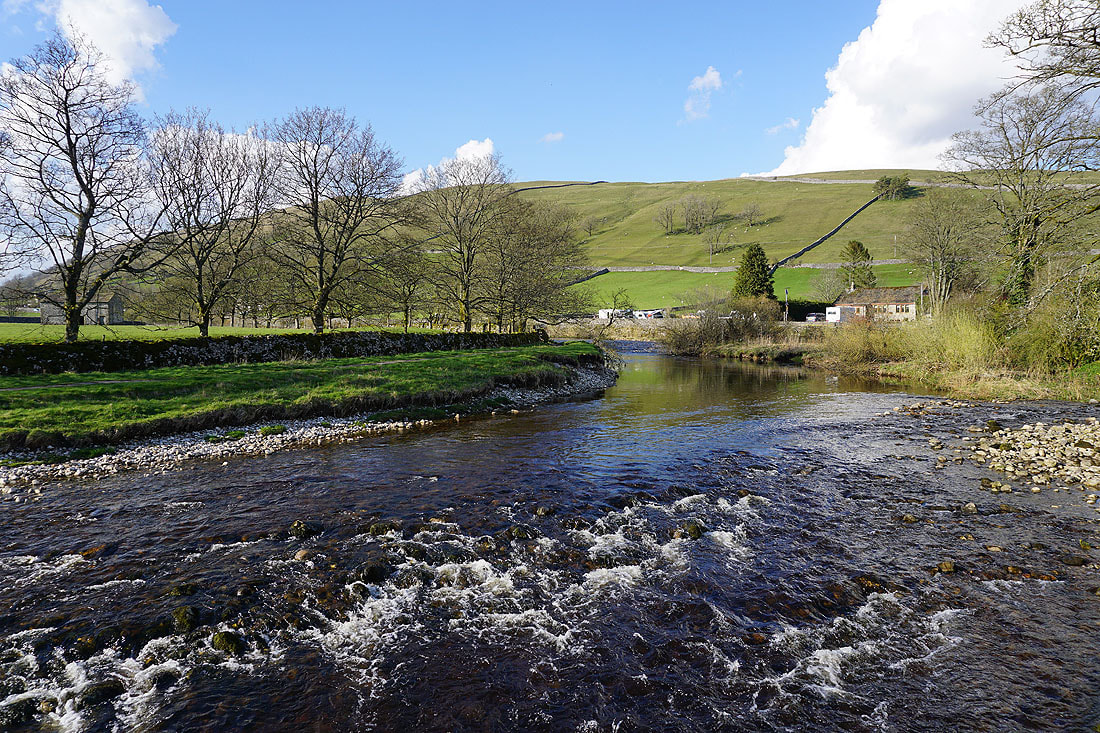
A last shot of the River Wharfe in Kettlewell