15th August 2010 - Crinkle Crags and Bowfell
Walk Details
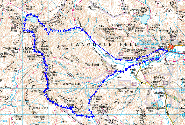
Distance walked: 10.7 miles
Total ascent: 3797 ft
OS map used: OL6 - The English Lakes, South-western area
Time taken: 7 hrs
Route description: NT Stickle Barn car park, Great Langdale-Stool End Farm-Oxendale-Browney Gill-Red Tarn-Great Knott-Crinkle Crags-Three Tarns-Bow Fell-Hanging Knotts-Ore Gap-Angle Tarn-Rossett Gill-Mickleden-Cumbria Way-NT Stickle Barn car park, Great Langdale
I set off from the NT car park at Stickle Barn and walked up Langdale to Stool End Farm. From there I walked up Oxendale and Browney Gill to Red Tarn. I then walked over the Crinkle Crags to Three Tarns where I then climbed to the top of Bow Fell. From Bow Fell I went over Hanging Knotts and then descended to Angle Tarn from Ore Gap. I then used the path down Rossett Gill into Mickleden and back down Langdale.
Route map
Crinkle Crags and Bowfell
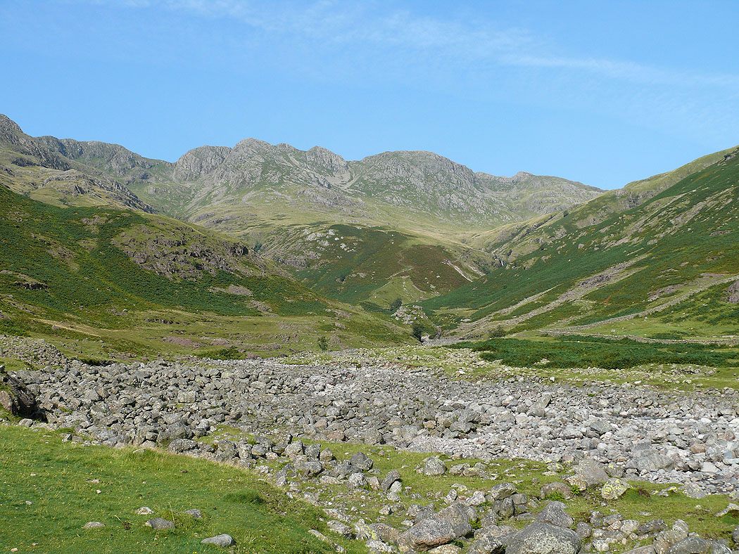
Crinkle Crags from Oxendale
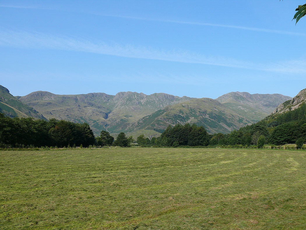
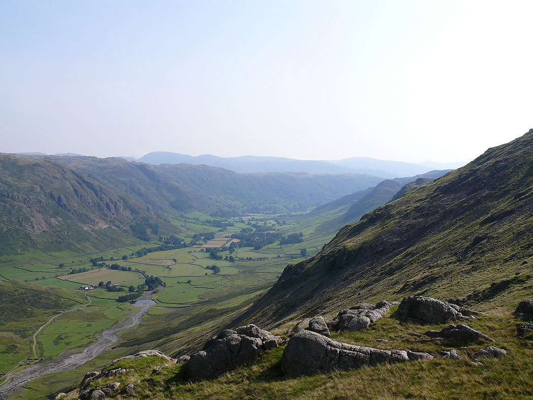
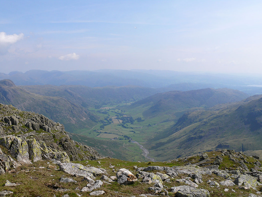
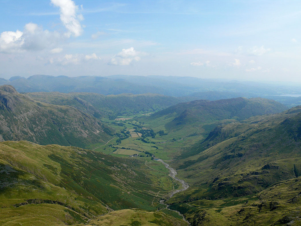
Langdale
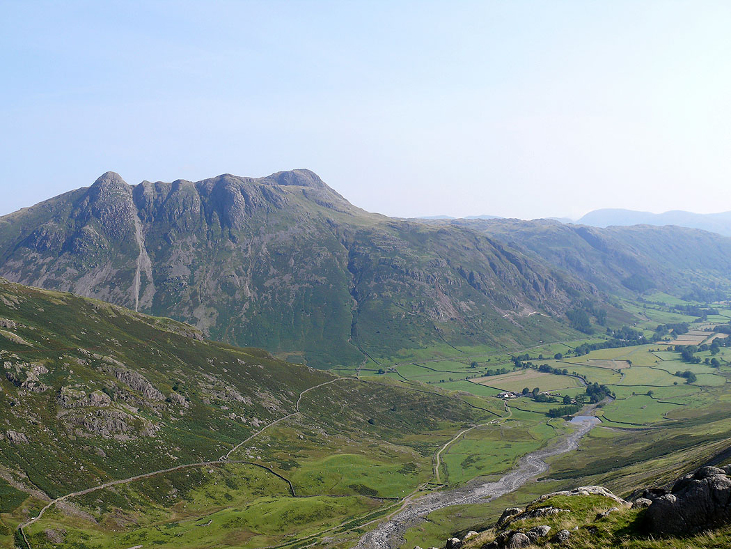
Langdale Pikes from Brown Howe on the path up to Red Tarn
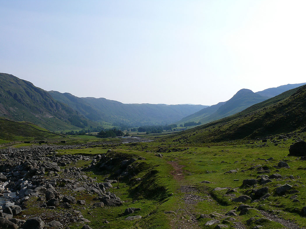
Langdale
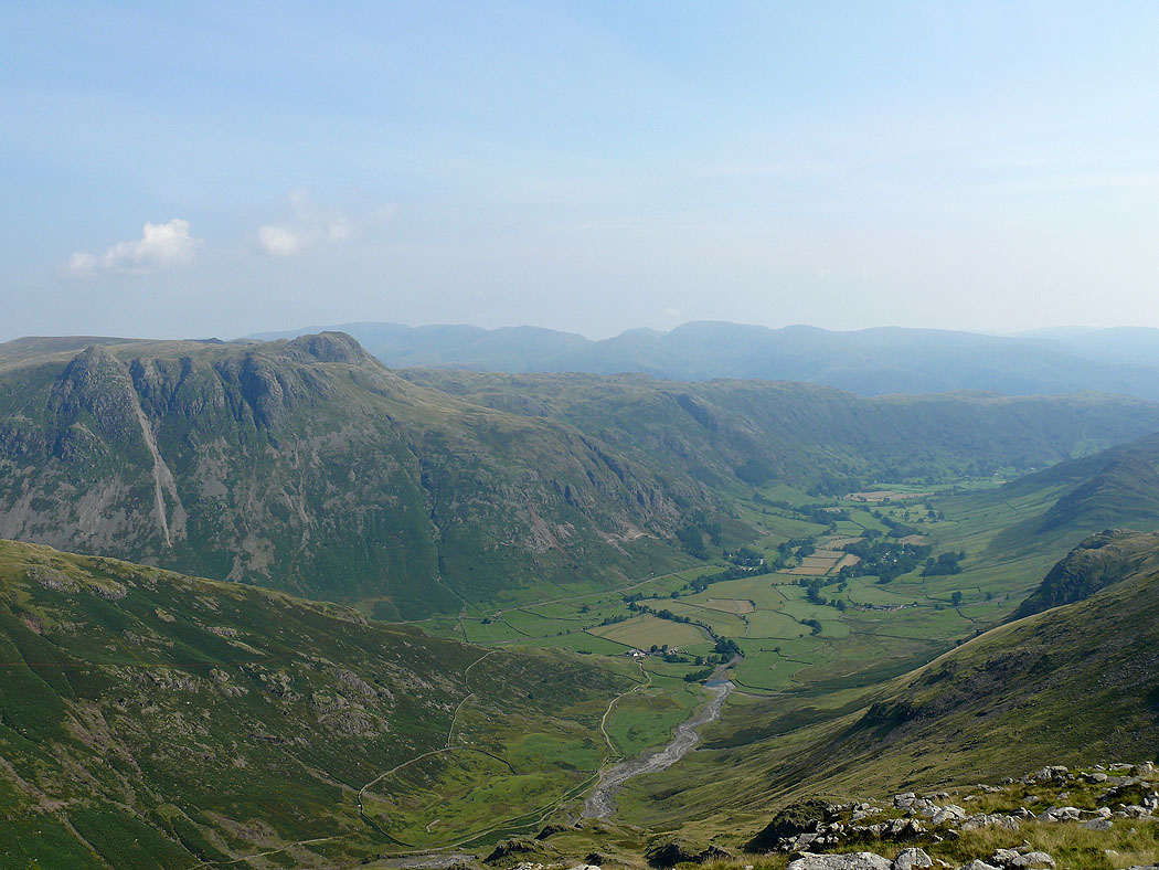
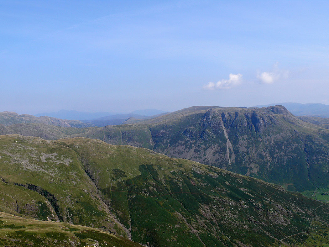
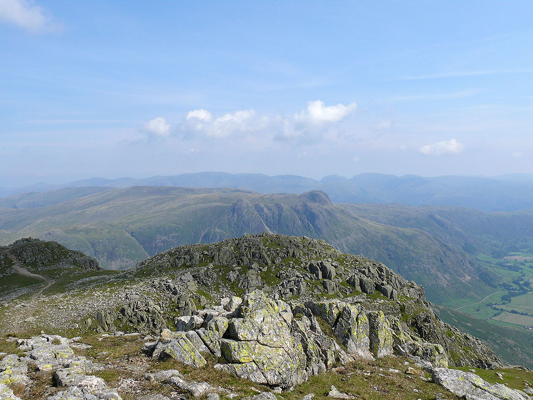
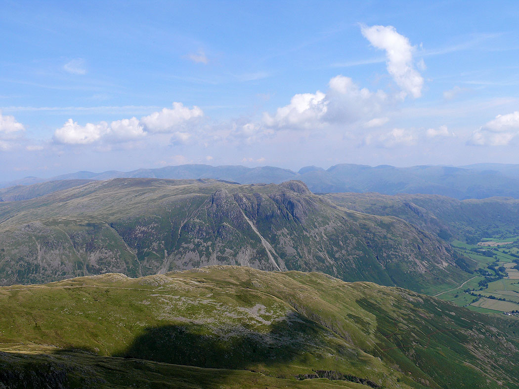
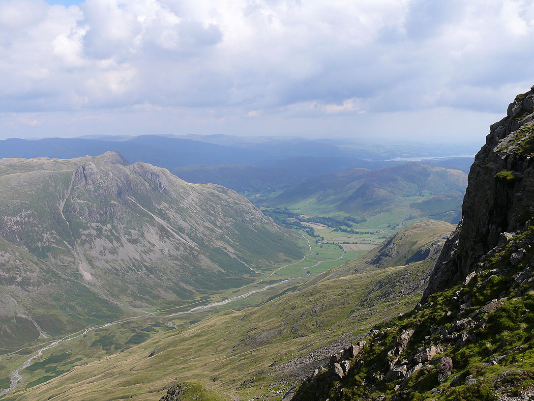
Langdale and the Langdale Pikes from Great Knott
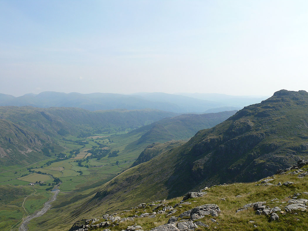
Langdale and Pike o'Blisco
Langdale Pikes over The Band
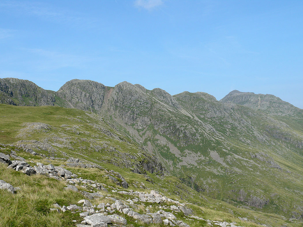
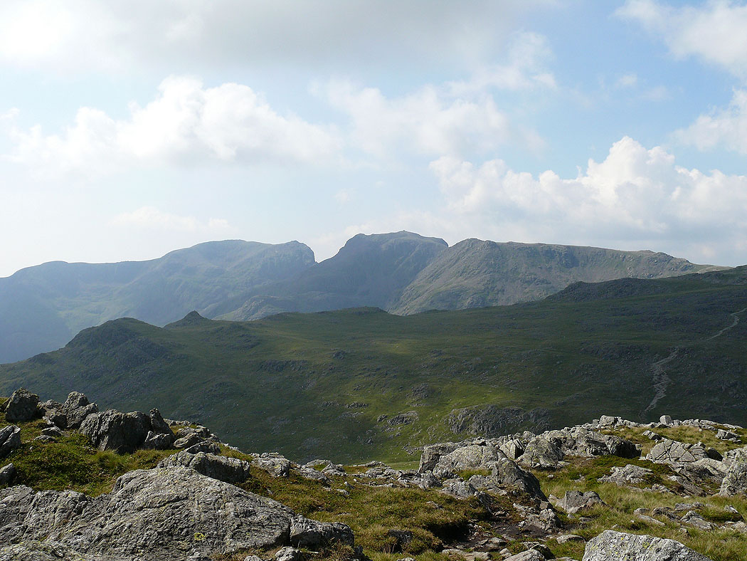
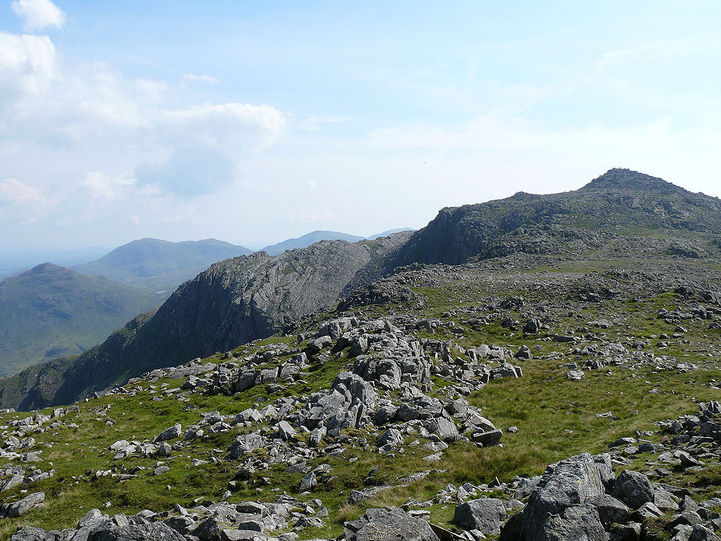
The Crinkle Crags and Bowfell from Great Knott
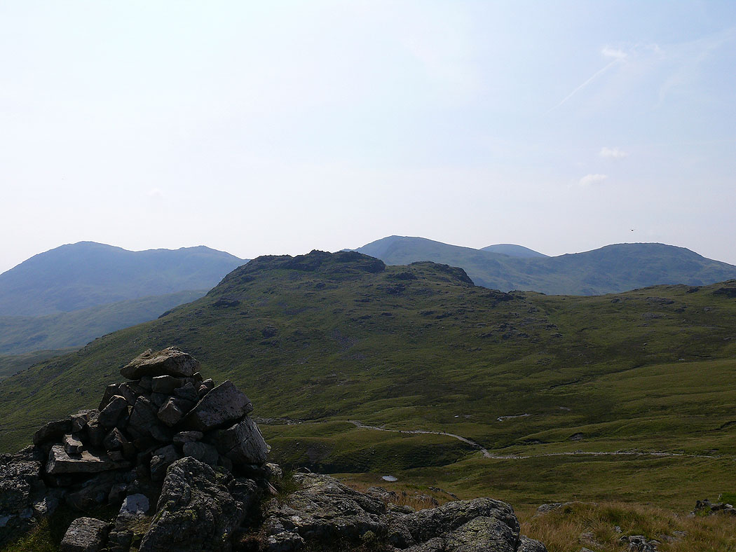
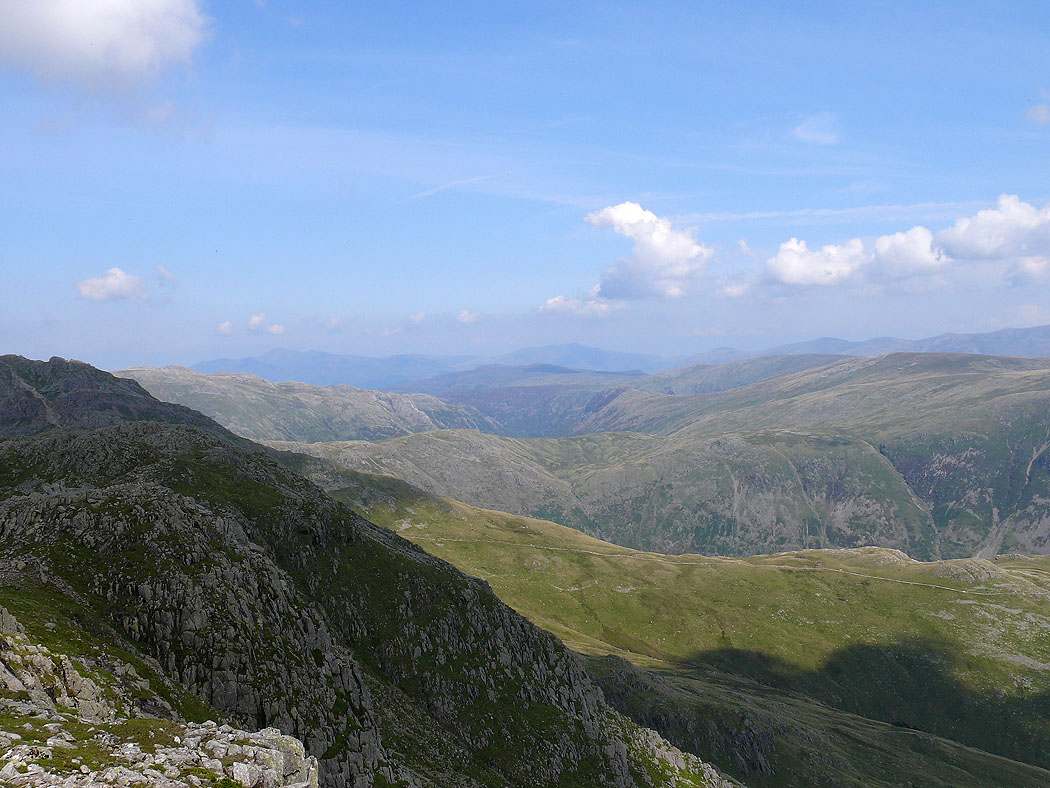
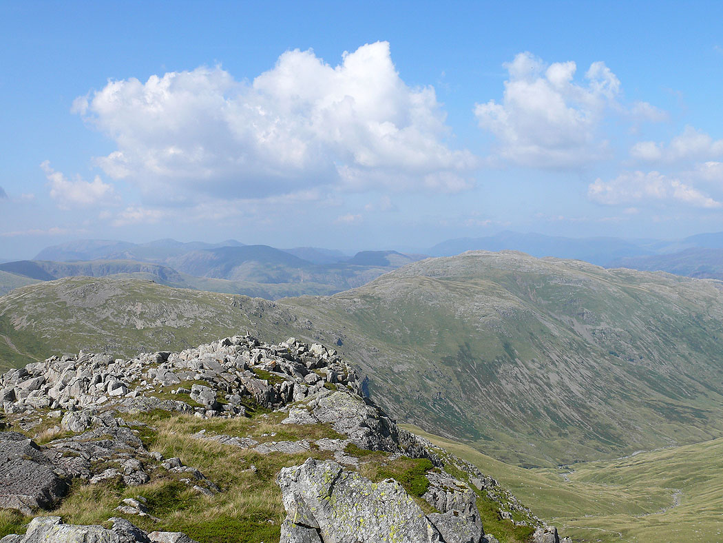
Cold Pike and the Coniston Fells from Great Knott
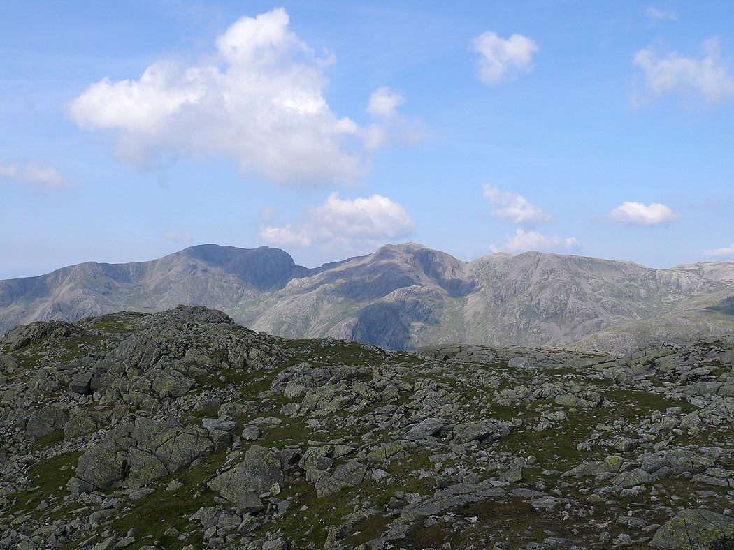
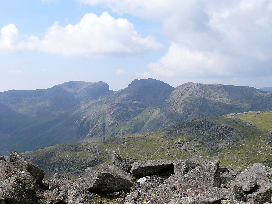
Scafells from the first Crinkle
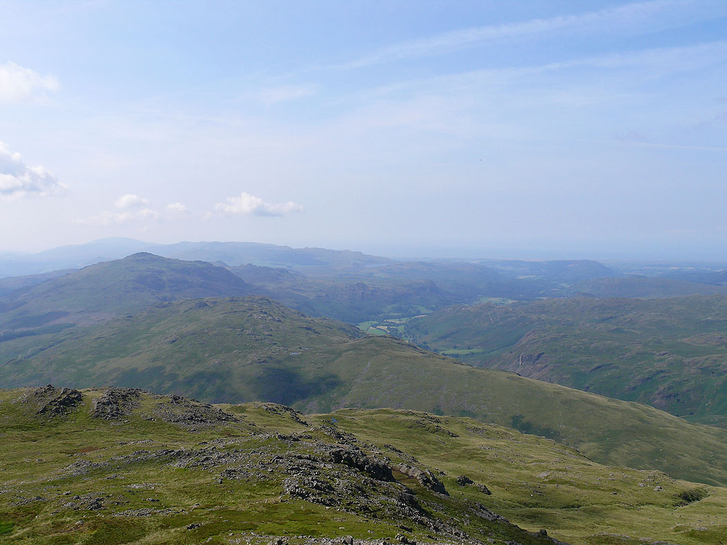
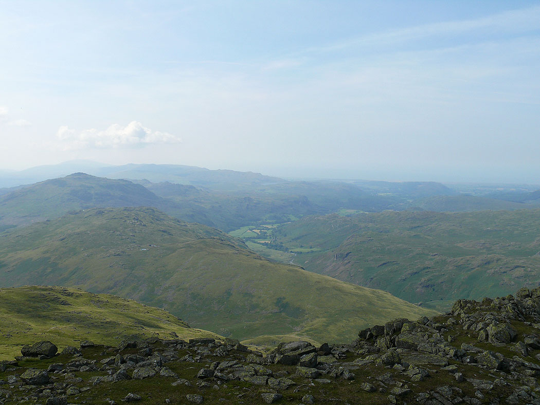
Hard Knott, Harter Fell and Eskdale
The Coniston Fells
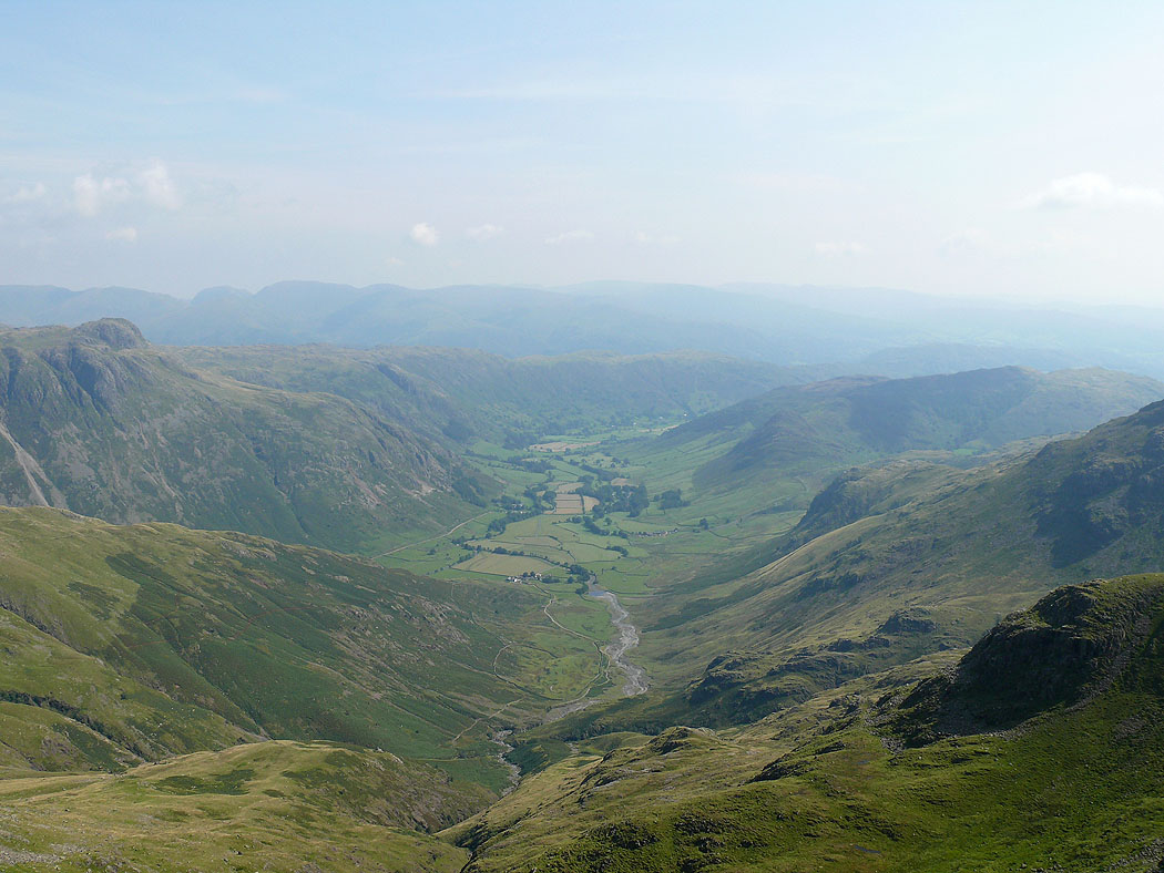
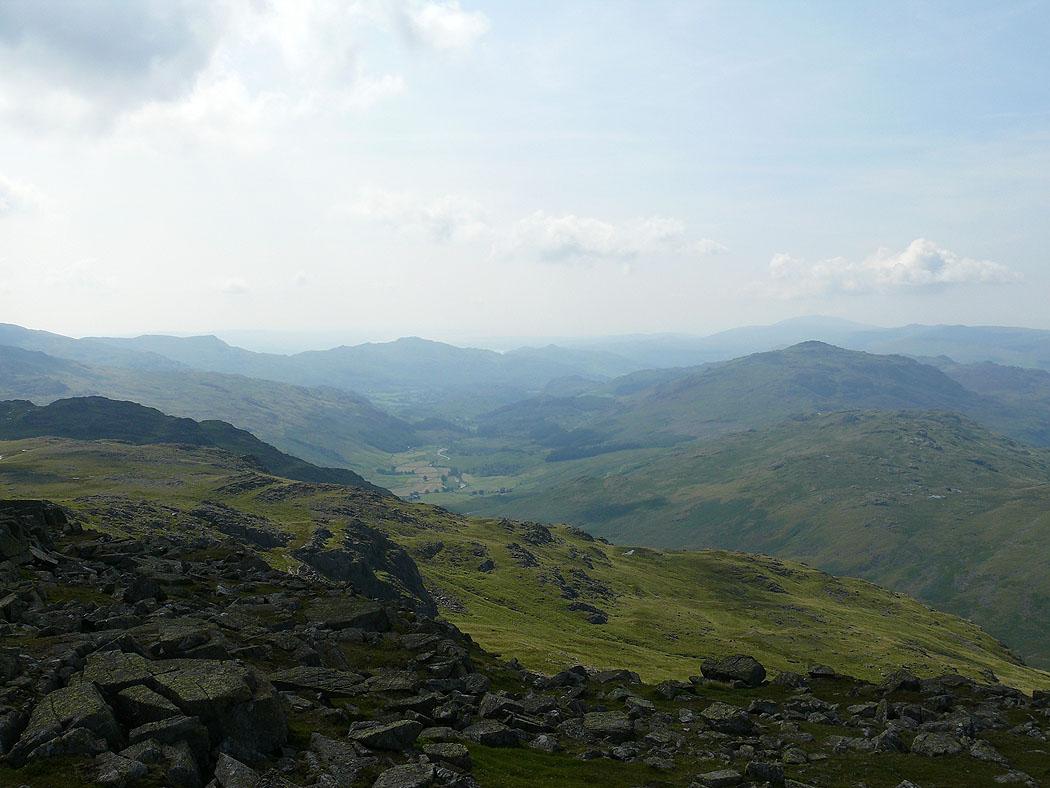
Great Langdale from the first Crinkle
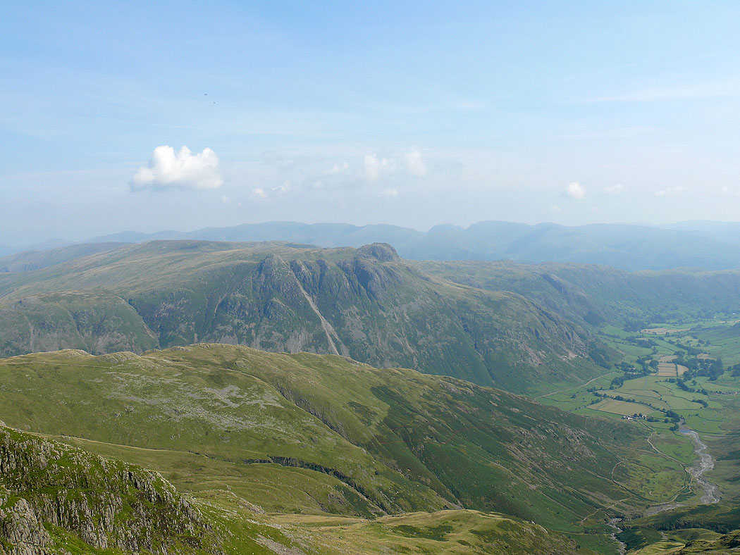
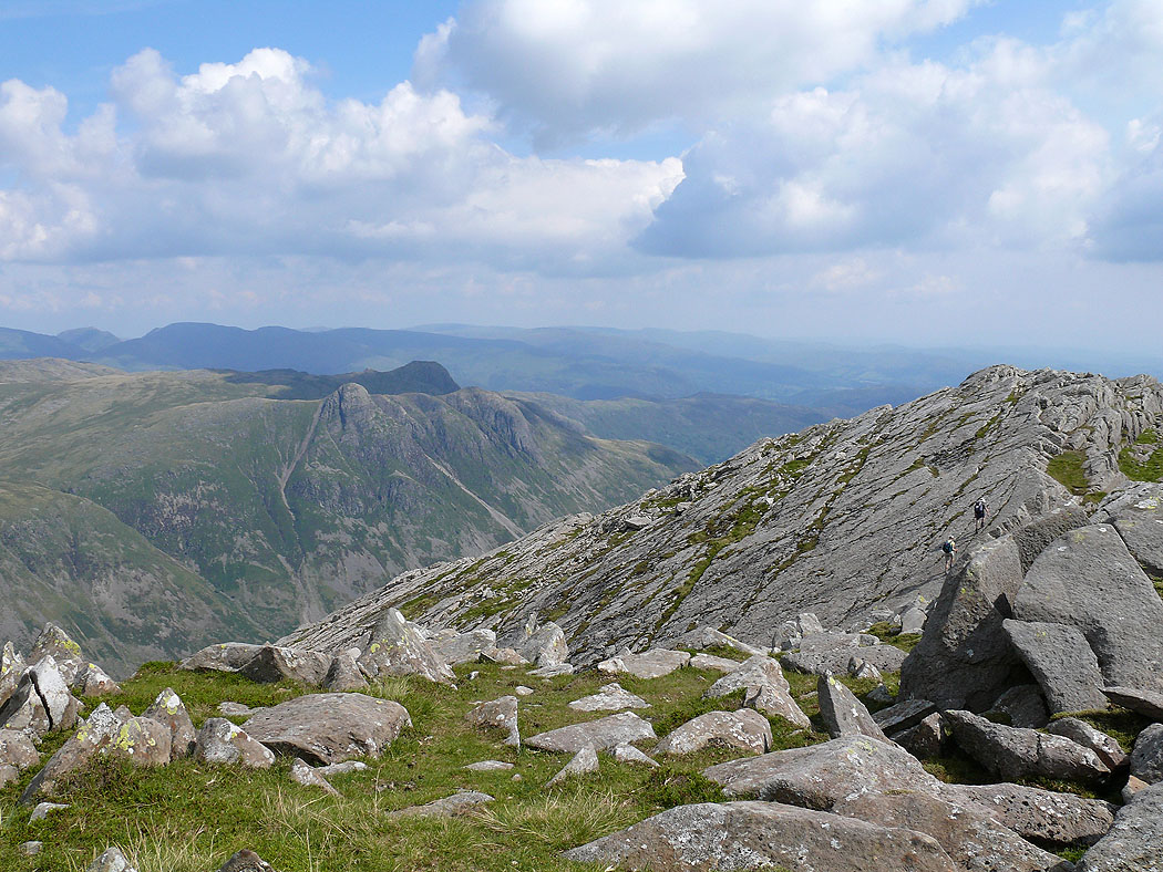
The Langdale Pikes with Helvellyn and Fairfield in the distance
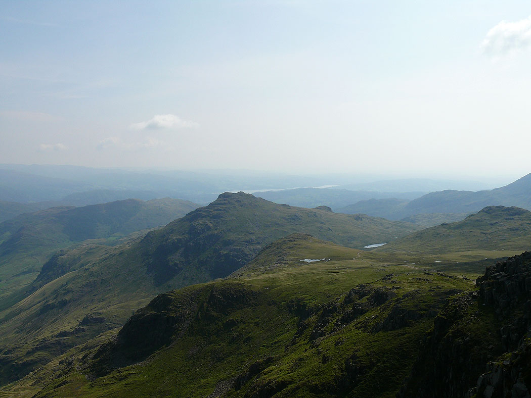
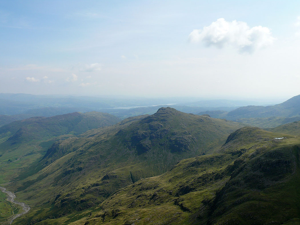
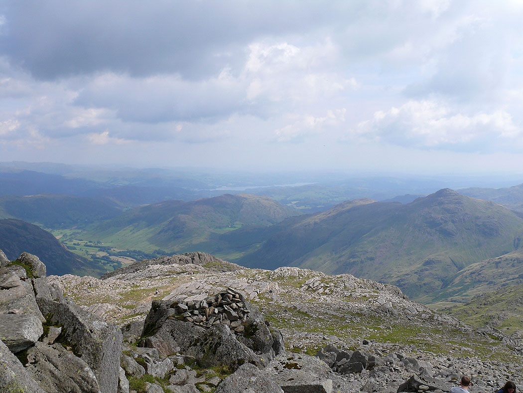
Pike o'Blisco. Windermere in the distance.
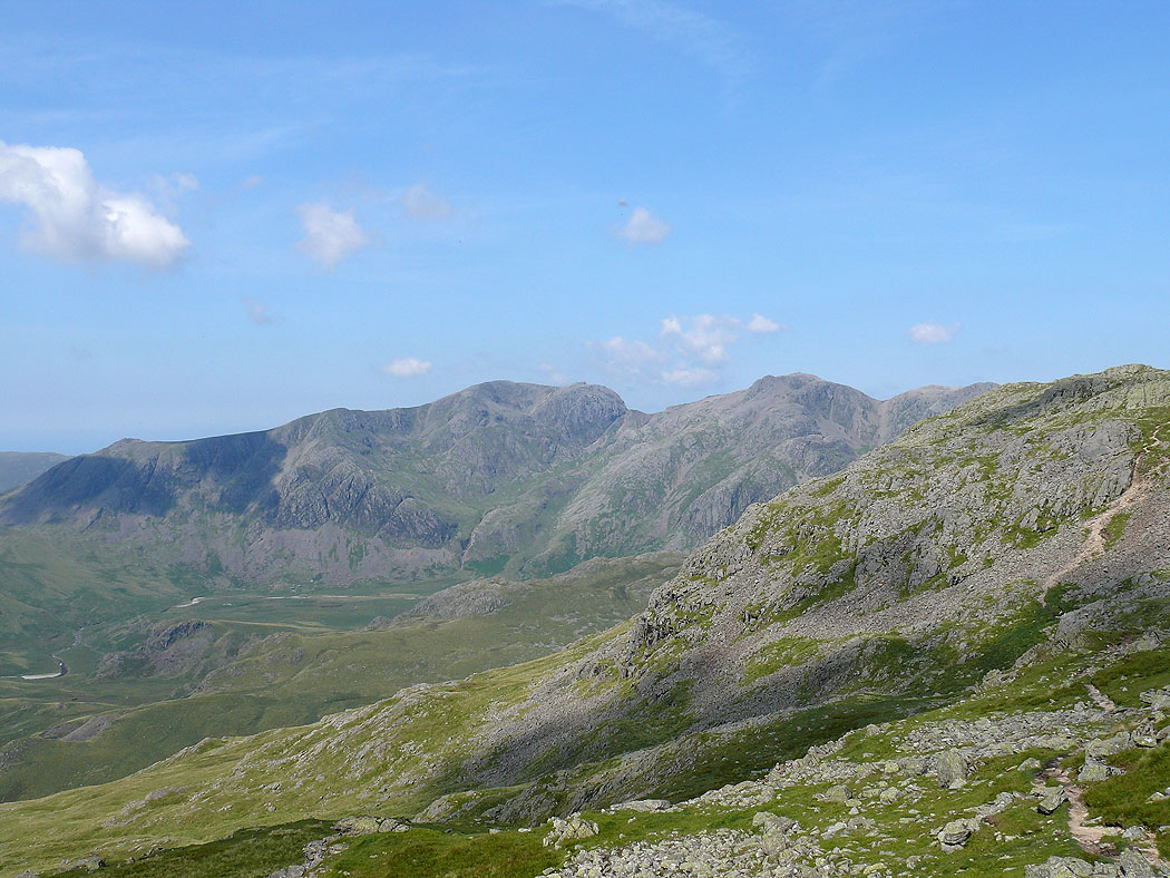
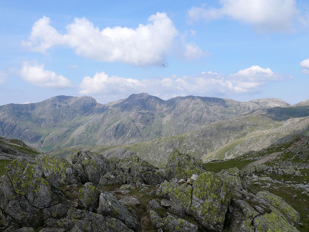
Scafell and Scafell Pike from Long Top, the highest of the Crinkles
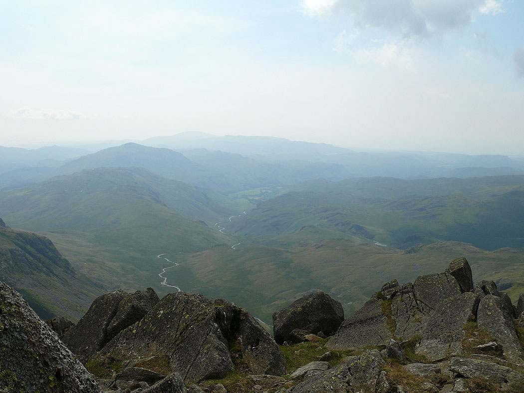
Hard Knott, Harter Fell and Eskdale
The Duddon valley
Great Langdale
The Langdale Pikes with Helvellyn and Fairfield in the distance from the second Crinkle
On the third Crinkle. The view to Skiddaw and Blencathra.
Great Langdale
The Langdale Pikes with Helvellyn and Fairfield in the distance from the third Crinkle
Pike o'Blisco with Windermere behind
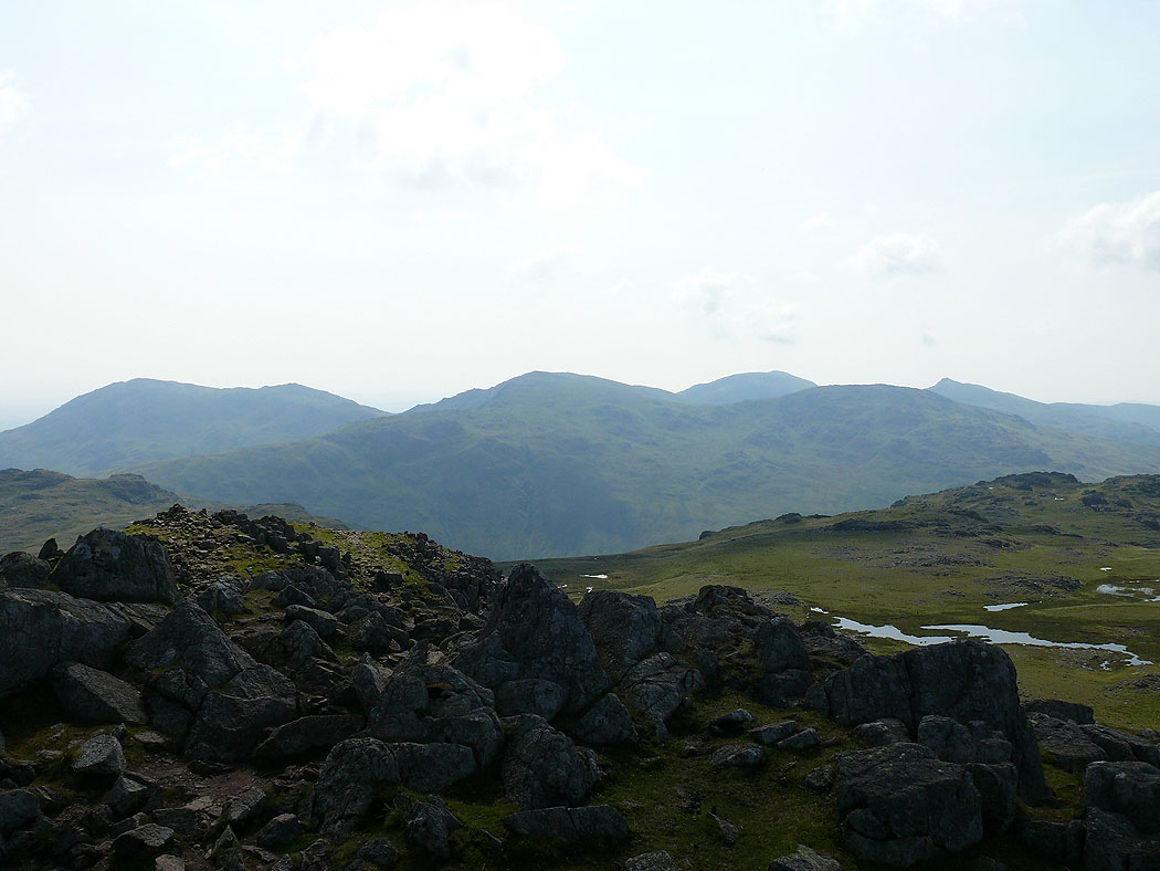
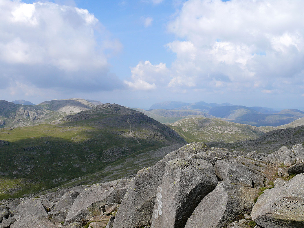
The Scafell range
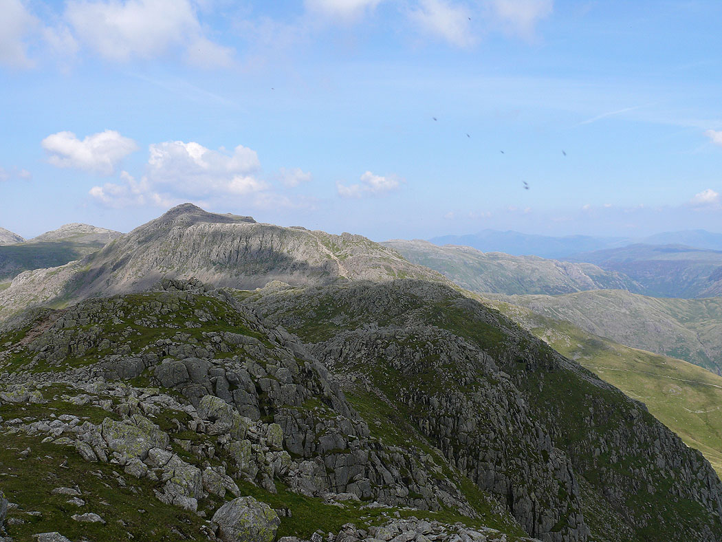
Bowfell
The Great Slab
Scafell and Scafell Pike from the summit of Bowfell
Eskdale
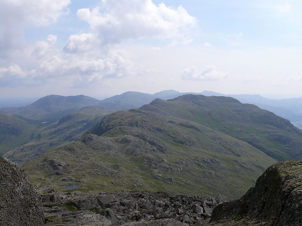
View back to the Crinkle Crags with the Coniston Fells beyond
The view across to Windermere
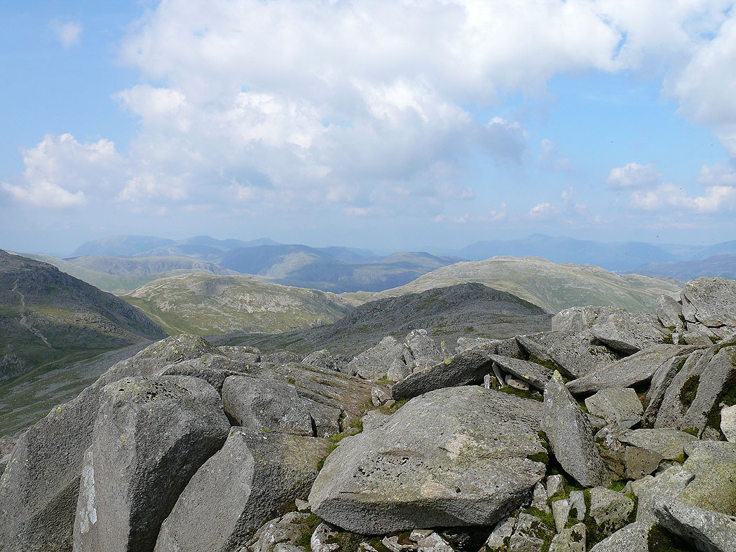
The northwestern fells and Skiddaw in the distance
Esk Pike ahead
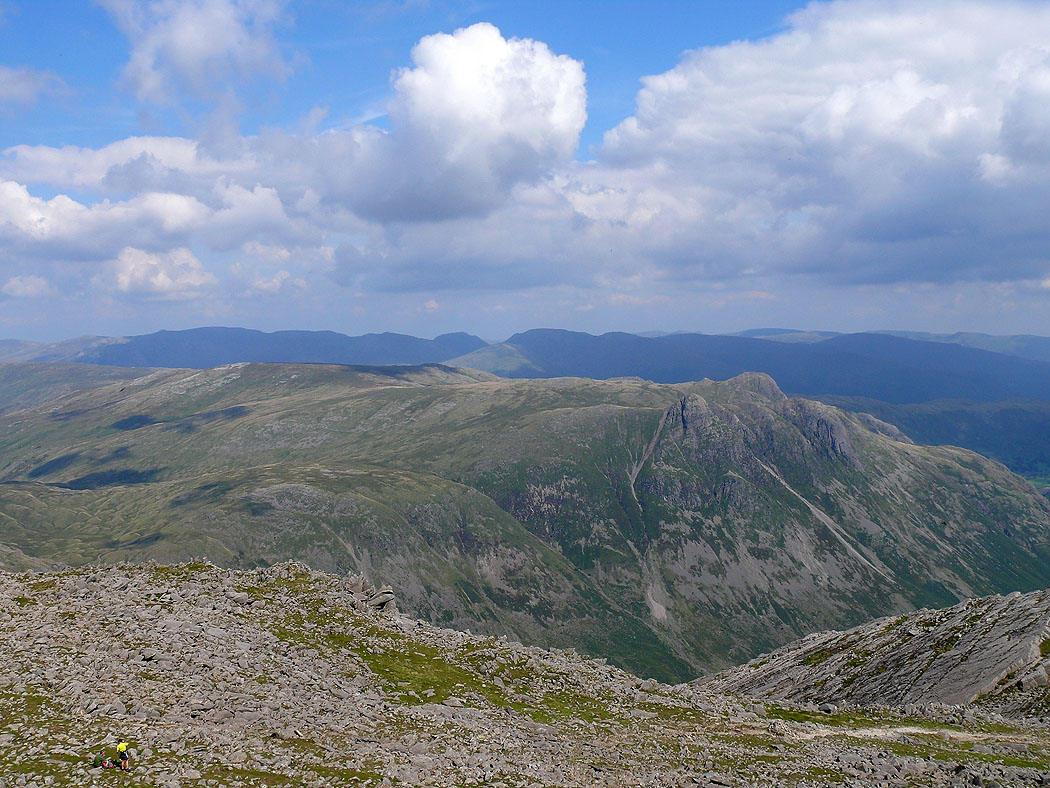
Langdale Pikes with the eastern fells in the distance. From Bowfell I made my way along the top of Hanging Knotts to Ore Gap.
Langdale Pikes
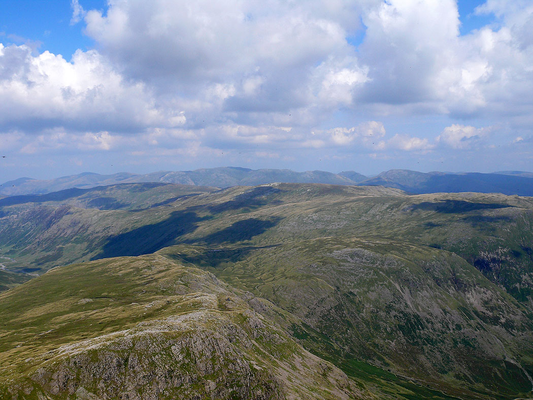
View across to the Helvellyn range
The northwestern fells and Skiddaw from Hanging Knotts
Scafell and Scafell Pike over the south ridge of Esk Pike from Hanging Knotts
View back up to the summit of Bowfell. The Great Slab can be seen on the left.
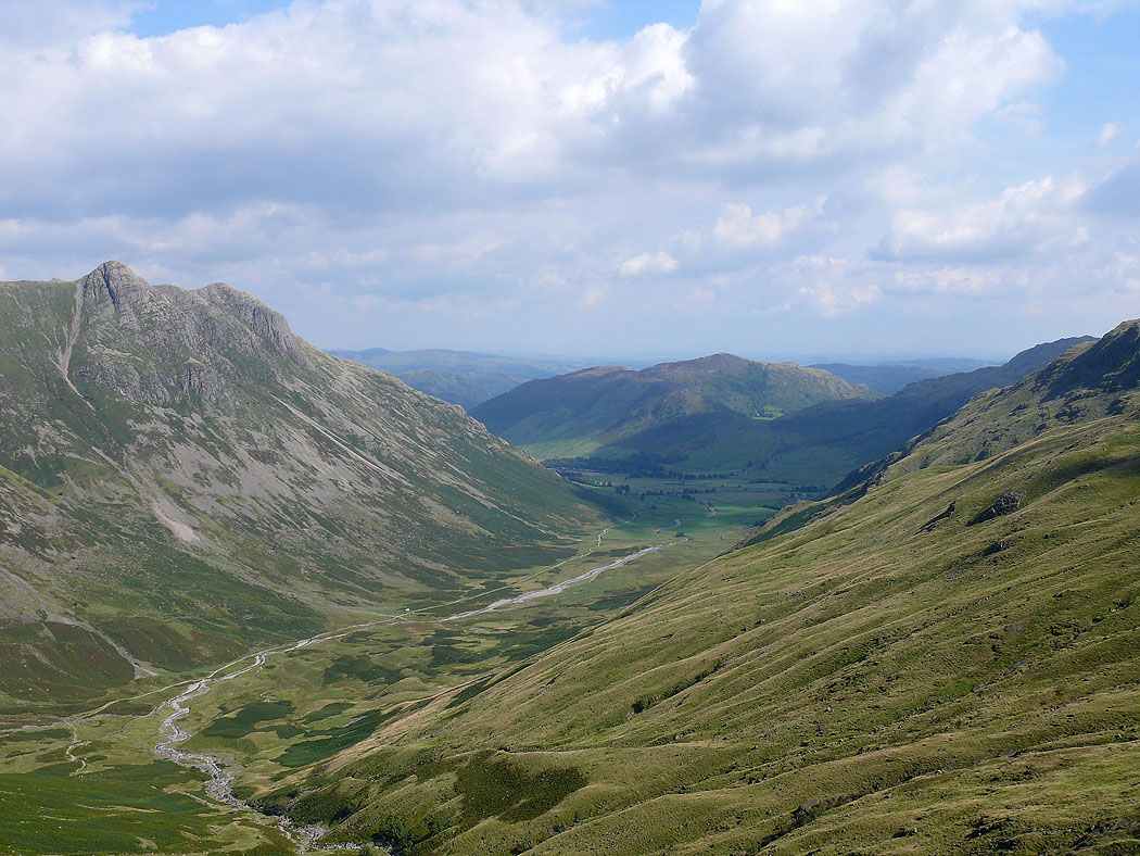
The view down into Mickleden as I head back
