15th August 2015 - Margery Hill & Derwent Edge
Walk Details
Distance walked: 13.5 miles
Total ascent: 1934 ft
OS map used: OL1 - The Peak District, Dark Peak area
Time taken: 8 hrs
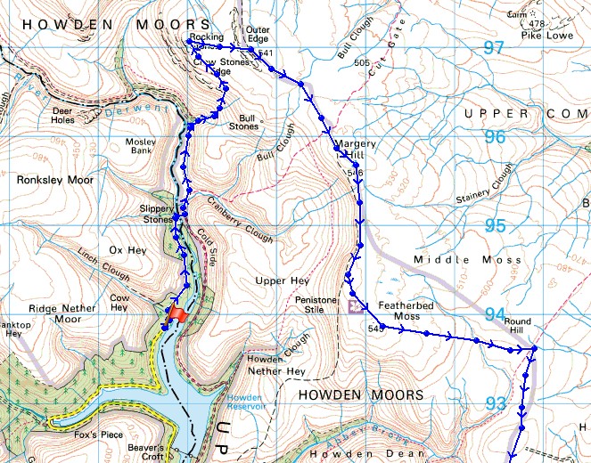
Route description: King's Tree-Slippery Stones-Broadhead Clough-Crow Stones Edge-Outer Edge-Margery Hill-Howden Edge-Cartledge Stones Ridge-Back Tor-Derwent Edge-Whinstone Lee Tor-Derwent-Fairholmes
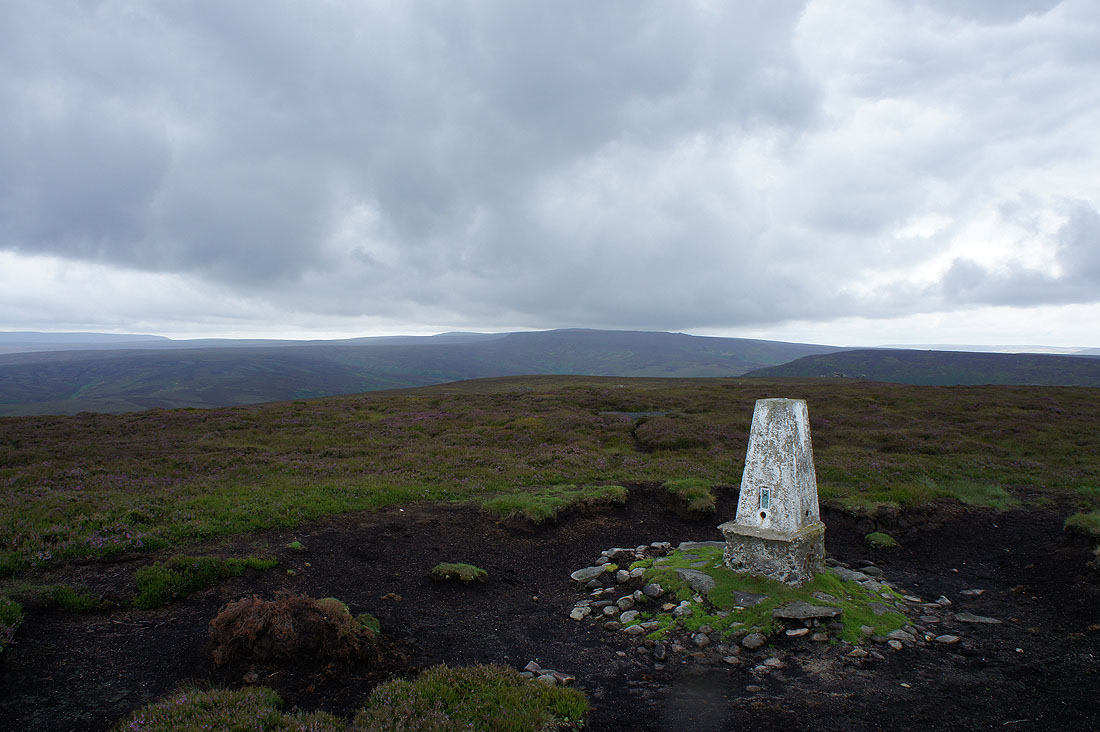
After a long walk last weekend and no ill effects I thought I'd do another one, this time in the Peak District. It's the time of year when heather brightens up the moors with a purple carpet and one of the best areas I've found is the Derwent Valley and the moors above it. Although it's a little later flowering this year compared to last year I was still hoping to see a good display. To make life a little easier for myself I decided to use the Dambusters bus for the first time. The road that runs up the western side of the Upper Derwent Valley is closed north of Fairholmes on summer weekends; using the bus made sense, it cut out several miles of trudging along the tracks by the reservoirs and made the route practical, distance and time wise. I've included a link to the timetable for the bus. The weather didn't turn out exactly as was forecast. While up on Outer Edge and Margery Hill there were a couple of hours of grey, cold and windy weather with some light rain but at least it did brighten up for the best part of the walk along Derwent Edge.
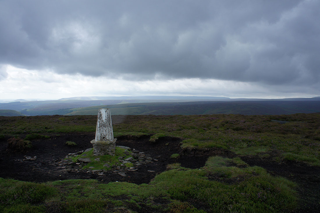
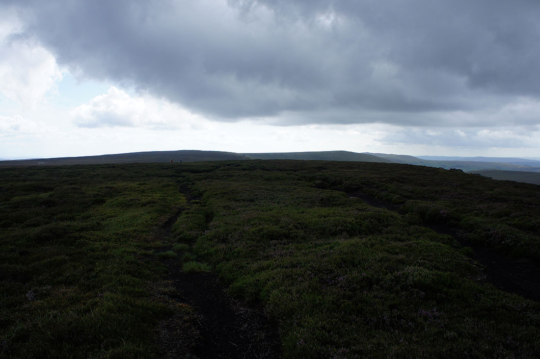
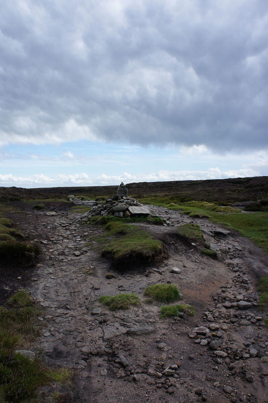
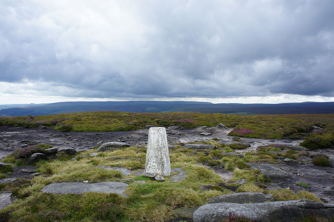
After getting off the bus I set off by walking the track north to Slippery Stones bridge, across it and then north towards Broadhead Clough. Here the track splits, I took the right hand one and when there was an option to take the public footpath to Oaken Bank I ignored it and kept on the track as it headed up Broadhead Clough. It crosses over and becomes narrower but a clear enough path made its way up through the heather to arrive on Crow Stones Edge. From the northern end of Crow Stones Edge I made my way up to the trig point on Outer Edge and then across the moors to Margery Hill. After having lunch here it was time to head south down Howden Edge and to the trickiest part of the walk, getting across to the path along Cartledge Stones Ridge. I probably didn't find the easiest route as I ended up wandering into the area around Cartledge Brook, which I had to cross, but at least I could always see where I needed to get to. I wouldn't want to try it if the cloud was down. Anyway, when I did find it there was an easy walk to Back Tor. The best part of the walk came next, all the way down Derwent Edge to Whinstone Lee Tor. From there I followed the bridleway down to Derwent and then the road back to where I was parked at Fairholmes.
Route map
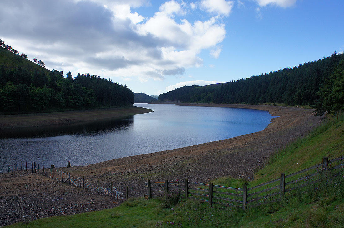
My walk starts by the banks of Howden Reservoir
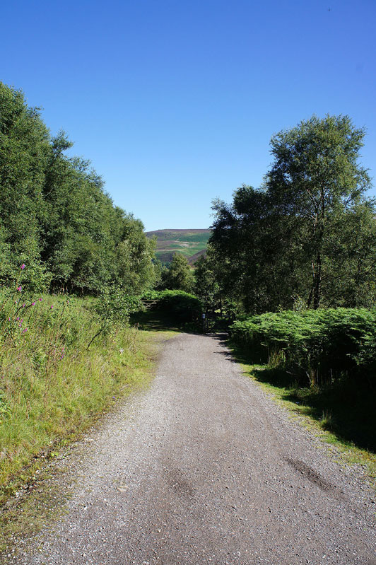
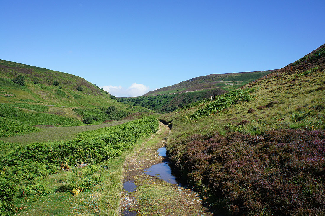
It's a glorious morning as I follow the track north
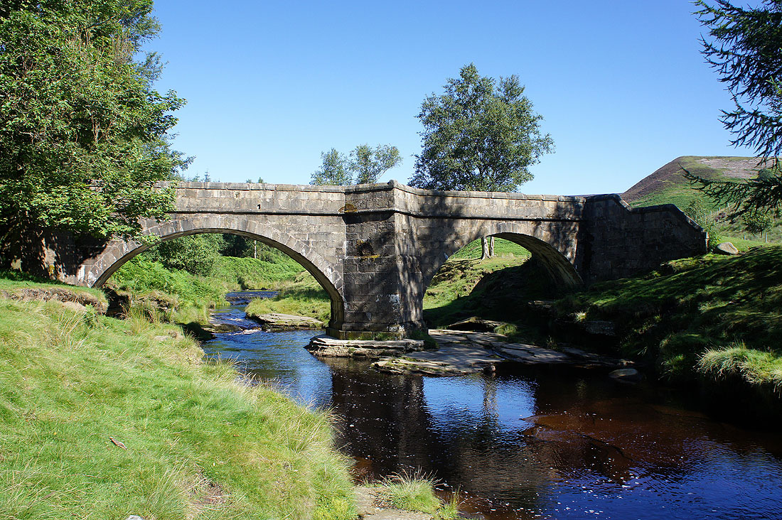
At Slippery Stones Bridge
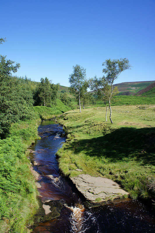
and the River Derwent from Slippery Stones Bridge
My first destination, Crow Stones Edge, is now in sight up on the right
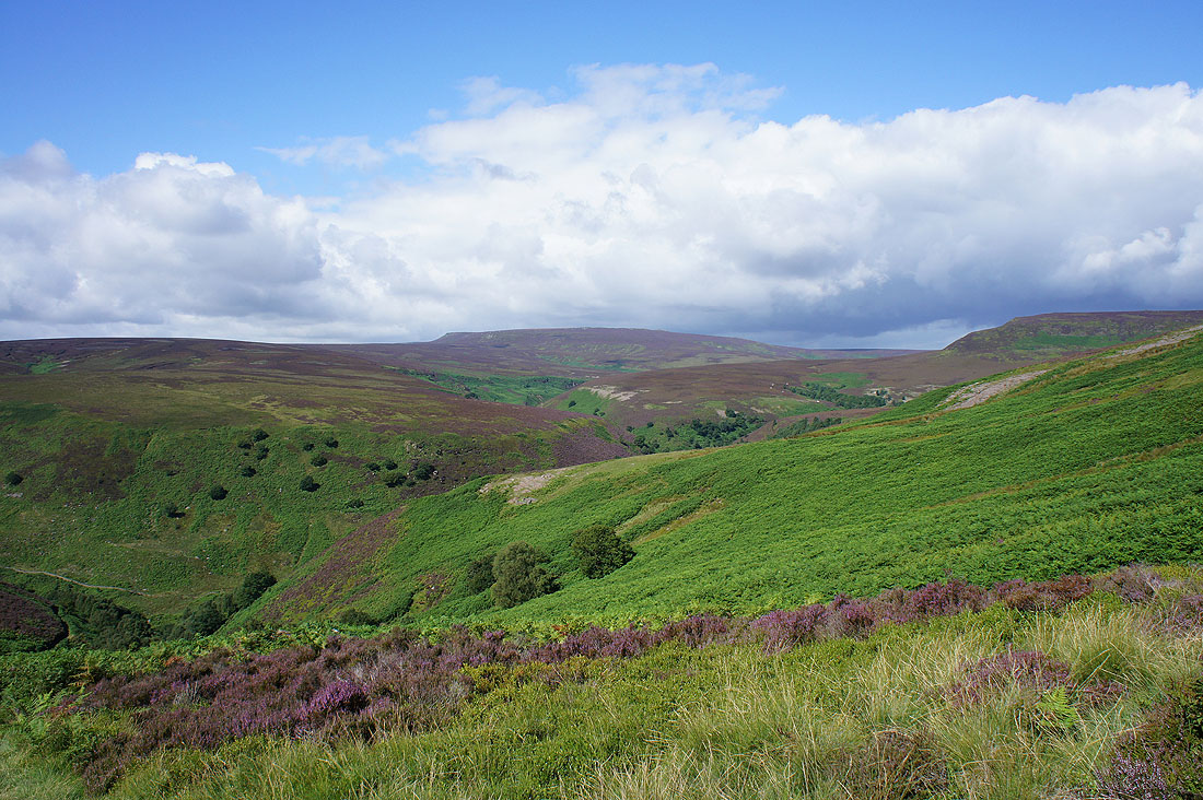
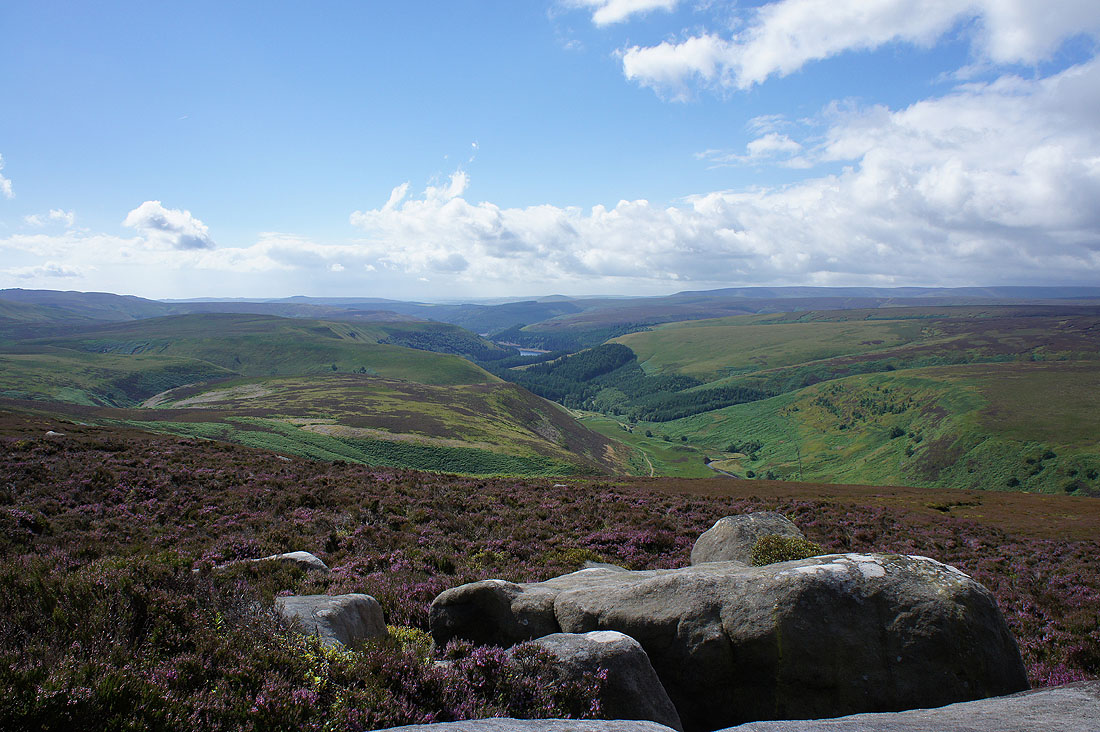
As I head up towards it there are expanding views of the Derwent valley and towards Grinah and Barrow Stones and Horsestone Naze...
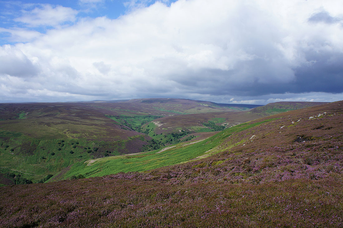
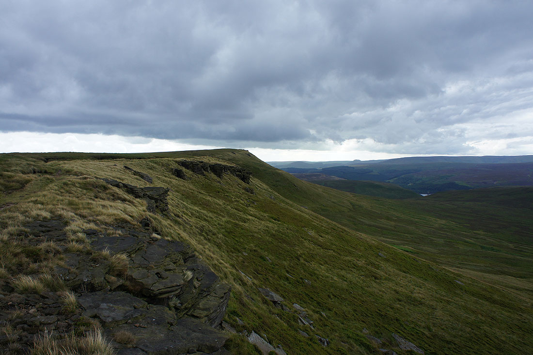
Looking down the Derwent valley as I reach Crow Stones Edge. It was at this point that it became clear that the weather was changing.
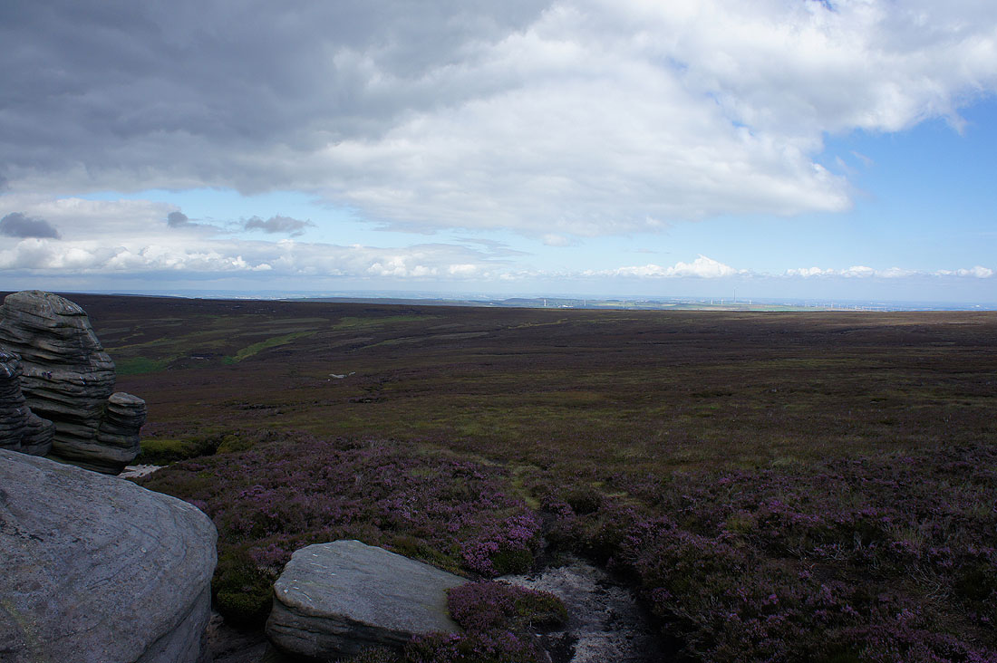
Looking north from the Crow Stones across the Langsett Moors towards "Last of the Summer Wine Country"
The blue skies disappear as I head for Outer Edge
Kinder Scout in the distance from Outer Edge. I wasn't really expecting this weather so it was a good job that I was prepared. There's now a cold wind blowing and there's a bit of rain in it.
and Bleaklow
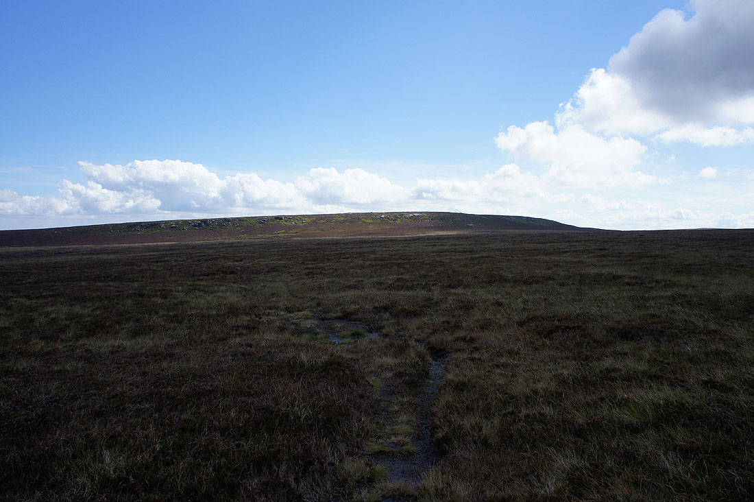
Heading for Margery Hill
Across the bridleway of Cut Gate
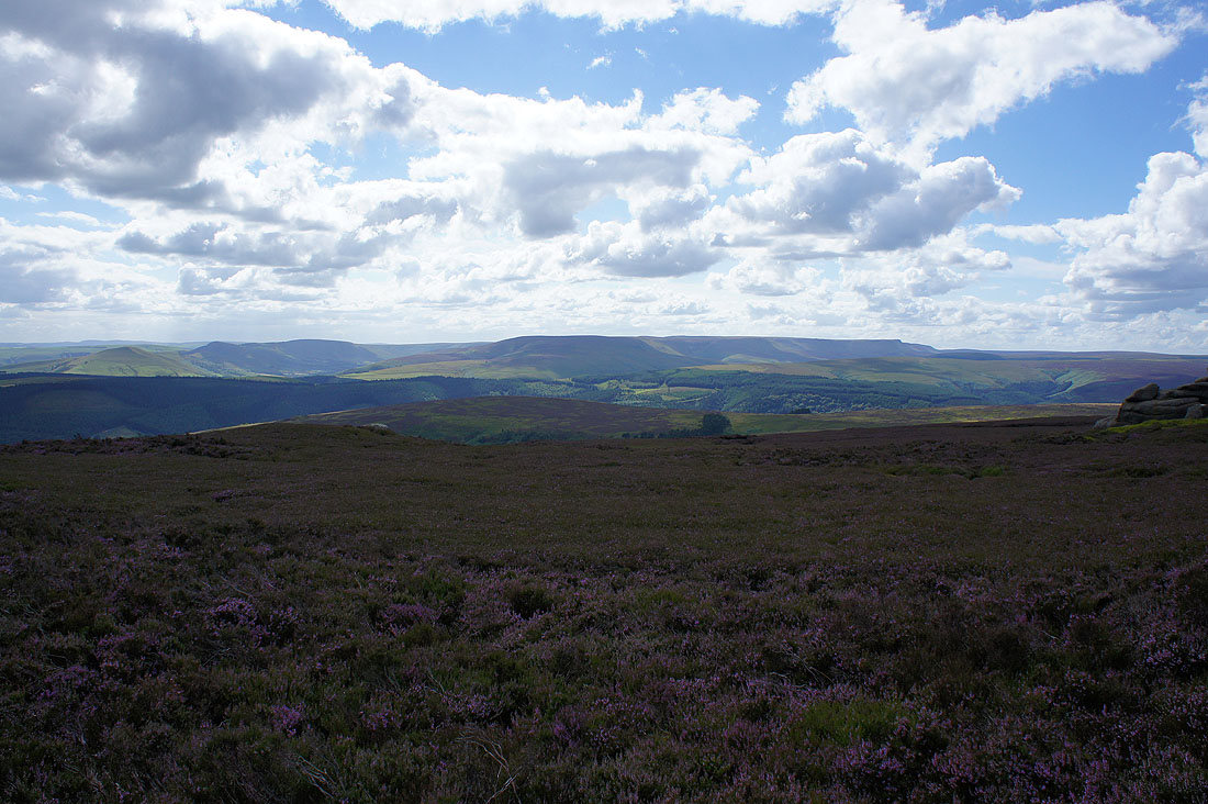
Kinder Scout from Margery Hill. Lunch was had here, plenty of boulders to perch on.
A dark Bleaklow and what may be brighter skies in the distance towards Black Hill
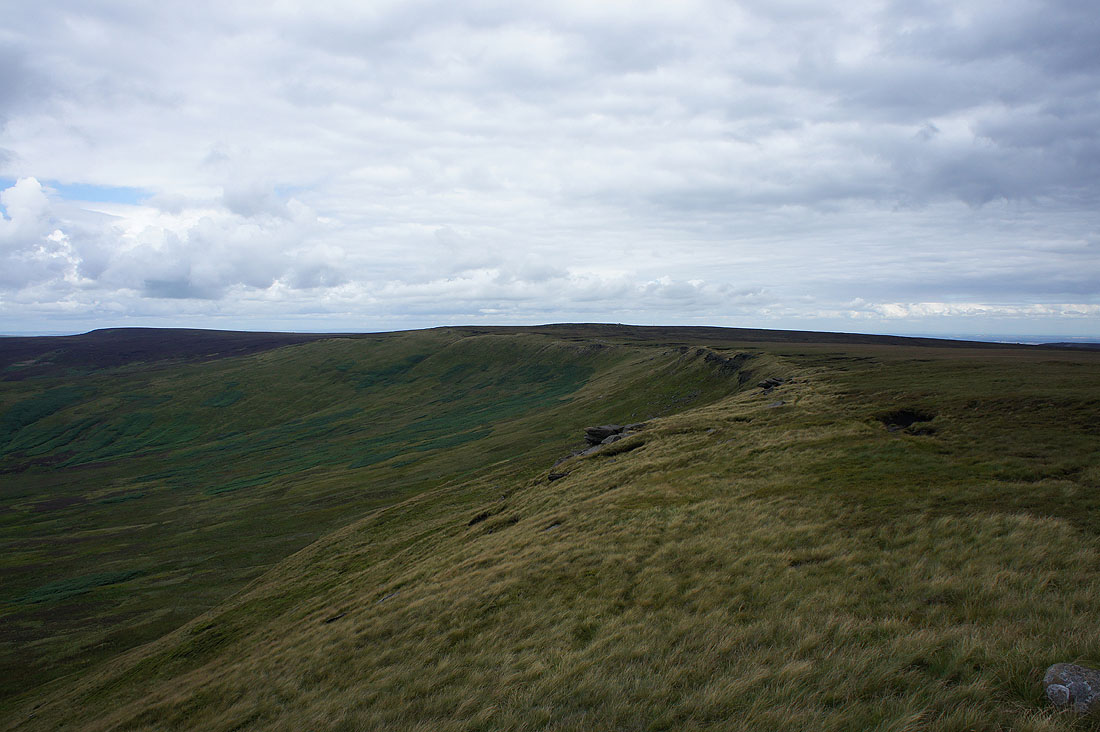
Heading south along Howden Edge
and looking back to Margery Hill
Things are definitely improving as brighter skies move in from the west. There's a good view from Howden Edge across the upper Derwent valley to Kinder Scout..
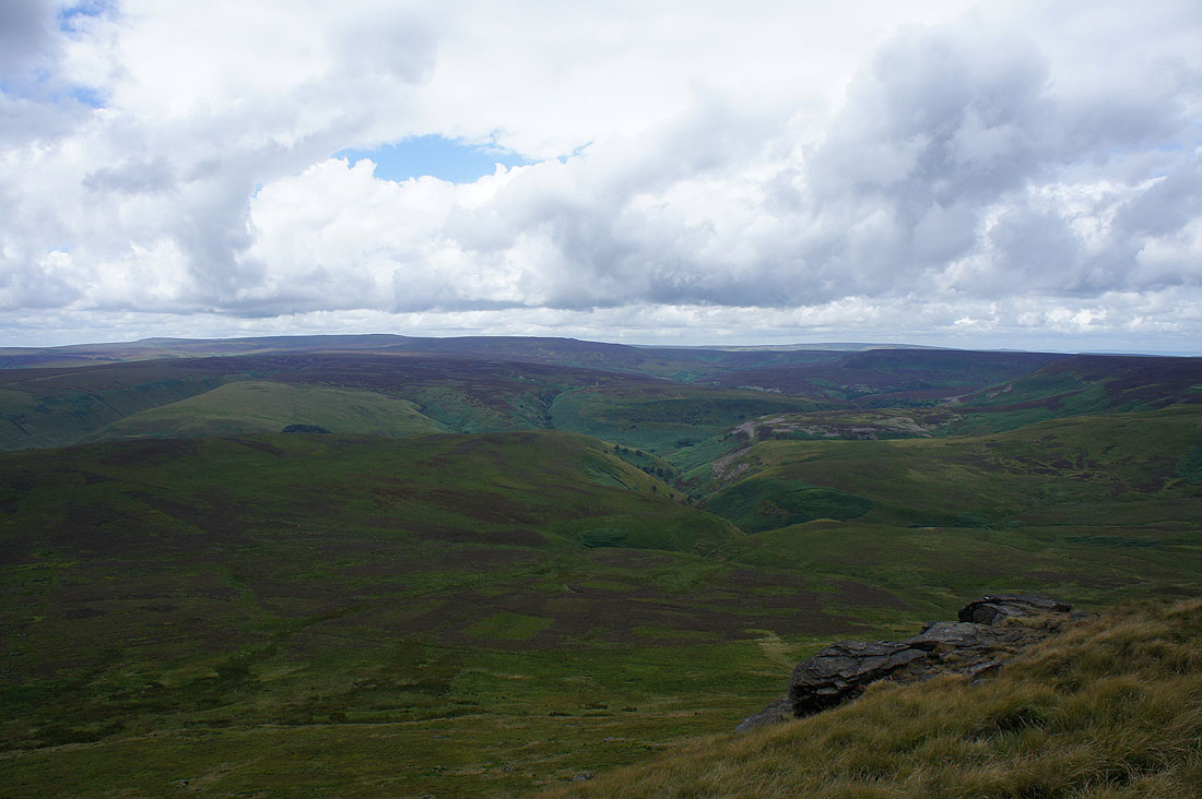
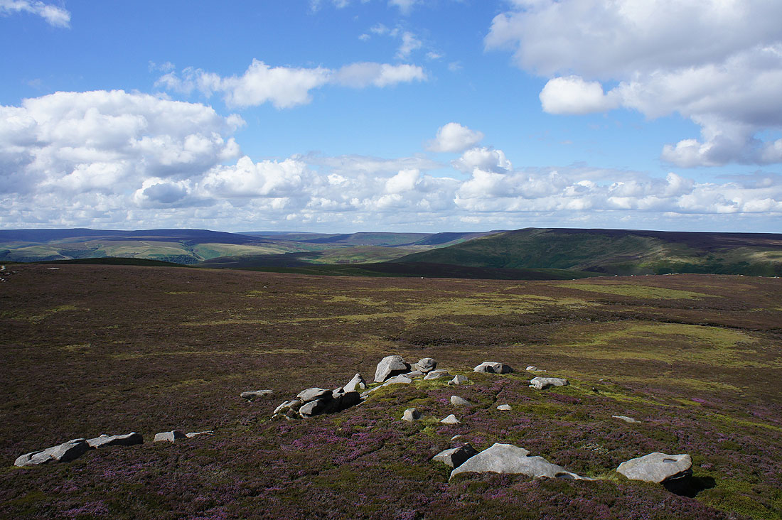
..and Bleaklow and the Howden Moors
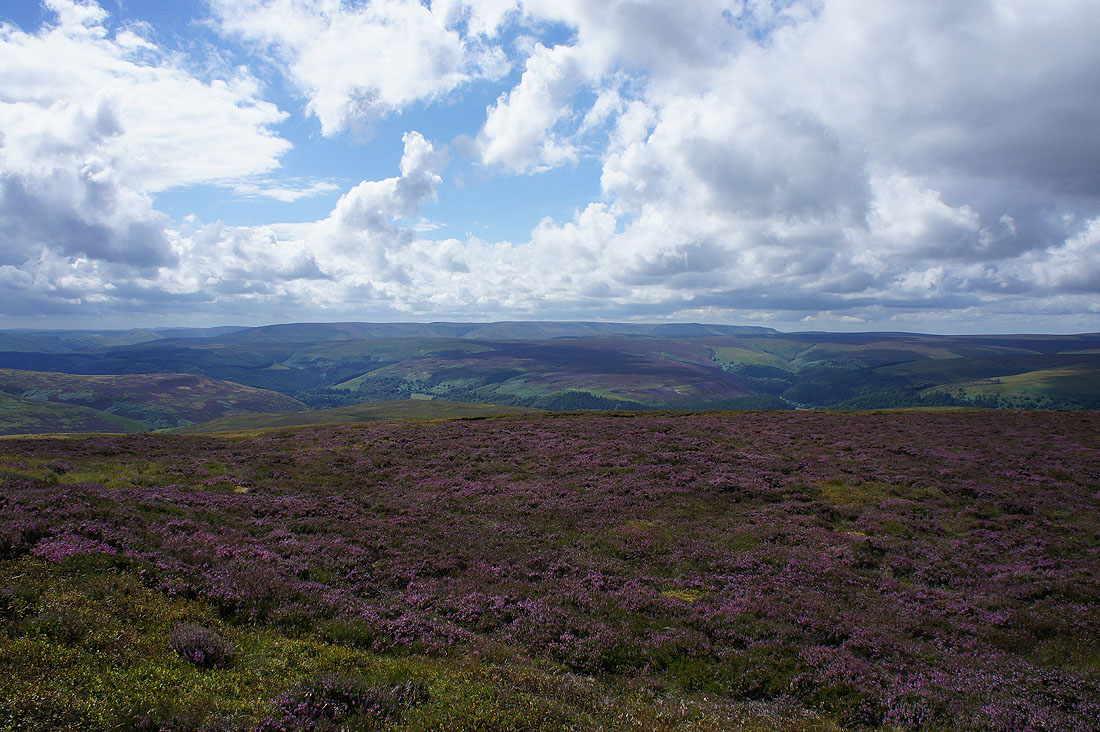
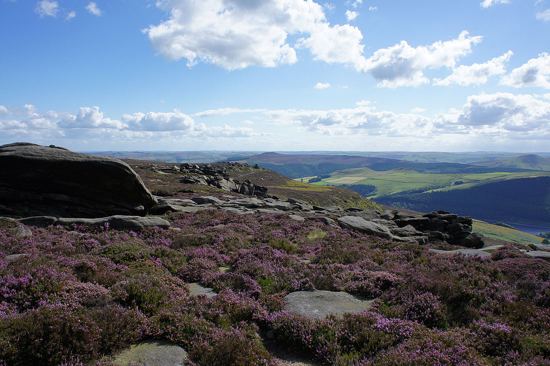
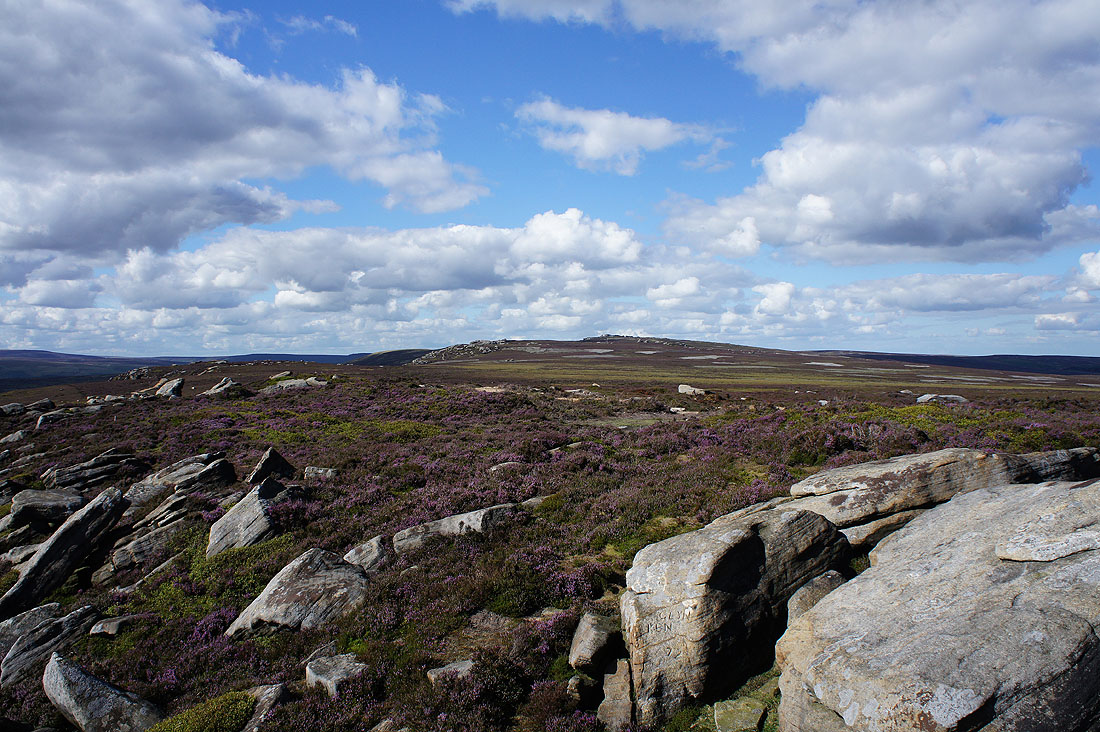
The sun is out again and the heather looks great
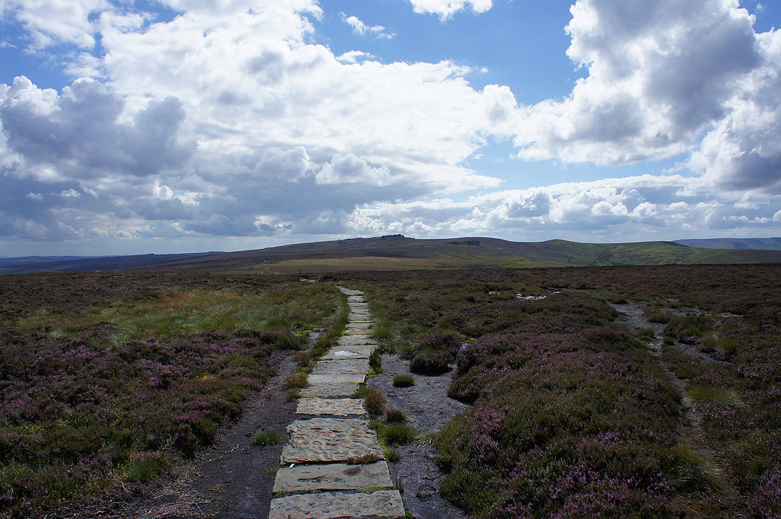
After some pretty rough walking I'm on easier ground with the flagged path along Cartledge Stones Ridge to Back Tor
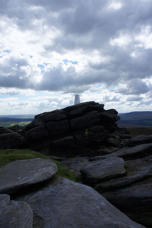
Back Tor and its difficult to reach trig point
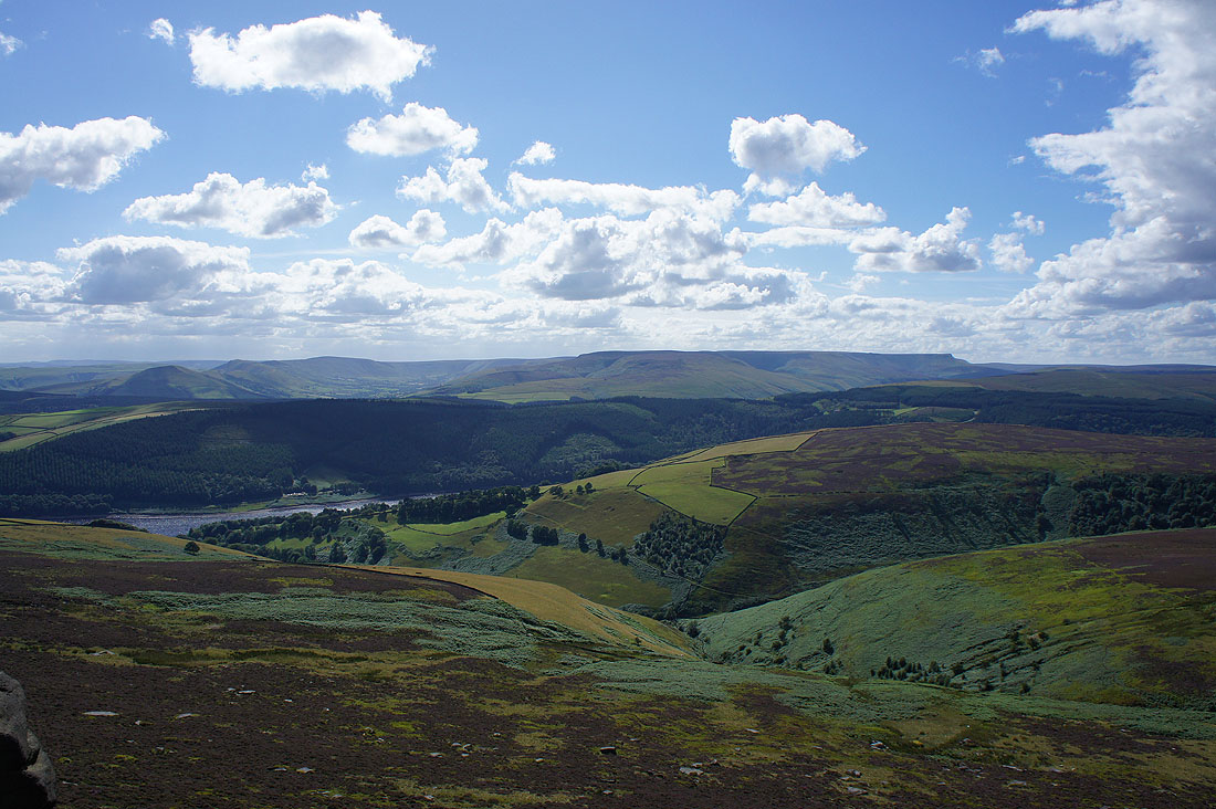
The Howden Moors surround the upper Derwent valley
Bleaklow in the distance and the obvious path is to Lost Lad
Sheffield in the distance to the east
The Great Ridge, the Vale of Edale and Kinder Scout
Past the Cakes of Bread
Back Tor from Dovestone Tor
There's a better view of the Great Ridge, the Vale of Edale and Kinder Scout from here than from Back Tor
Looking south along Derwent Edge to Win Hill
Bleaklow across a sea of heather
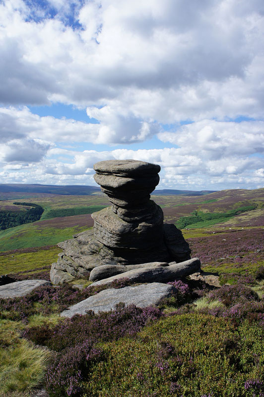
The Salt Cellar
Dovestone Tor and Back Tor from White Tor
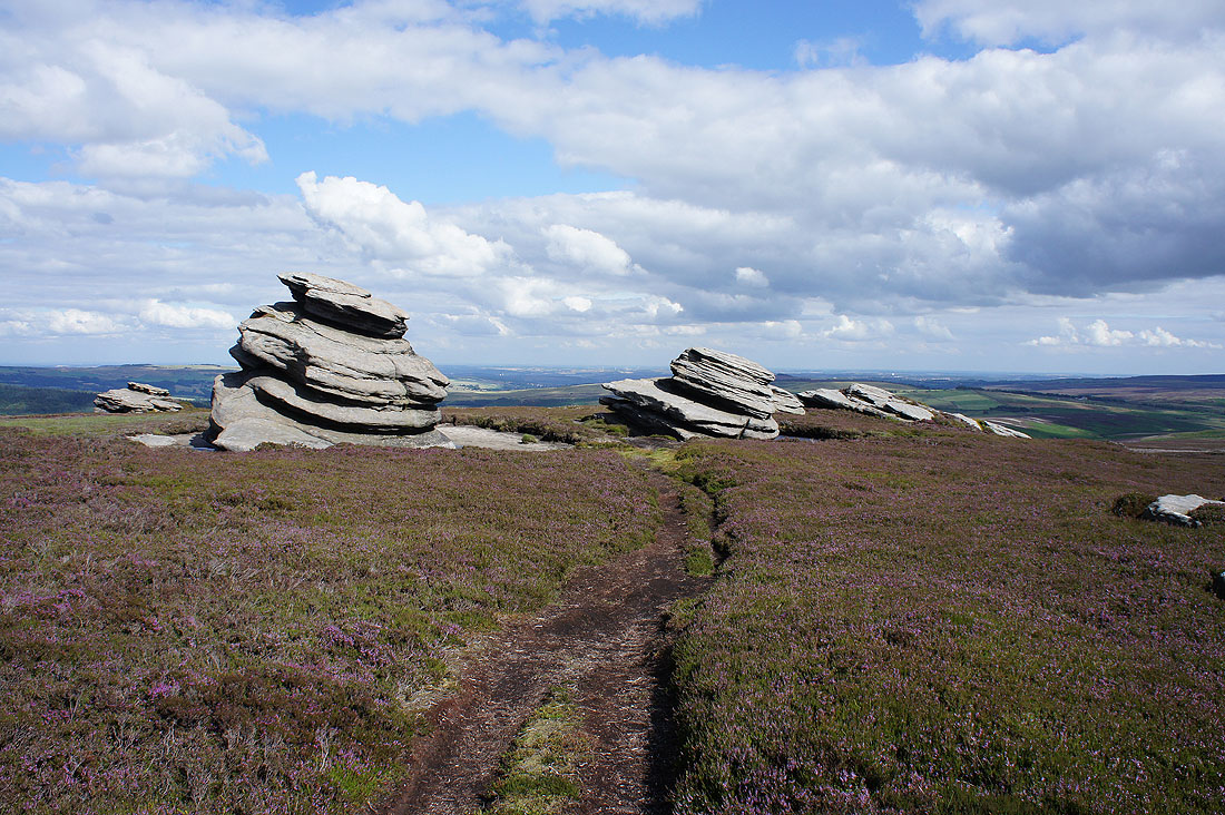
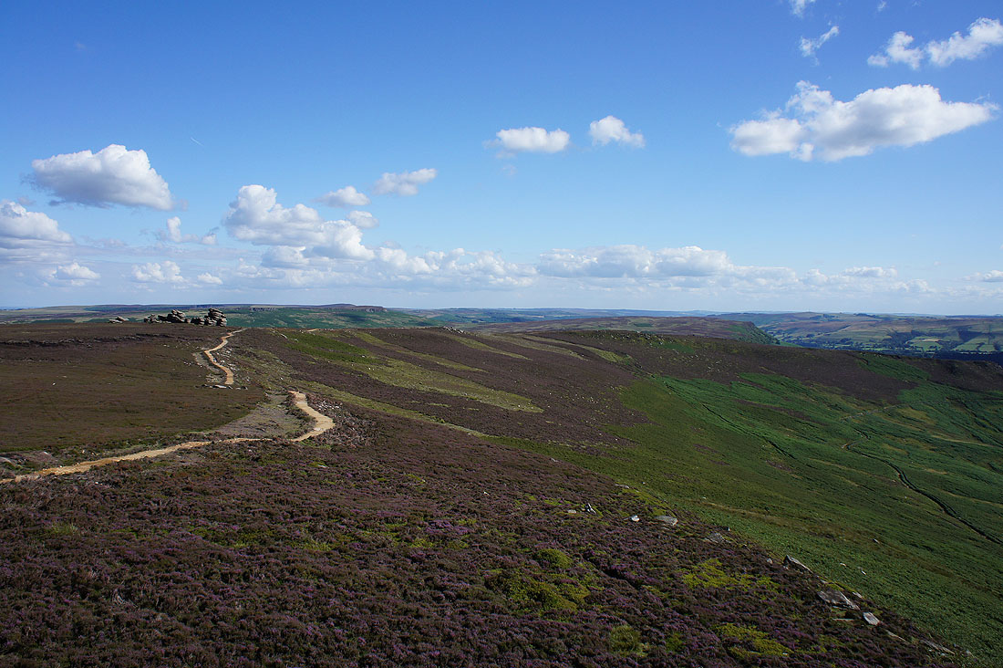
The Wheel Stones on the left and the rest of Derwent Edge down to Whinstone Lee Tor. The path up here has recently been repaired and in places it really stands out. Hopefully time will soften its appearance.
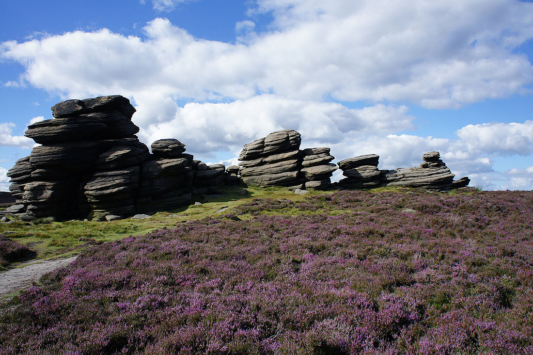
The Wheel Stones
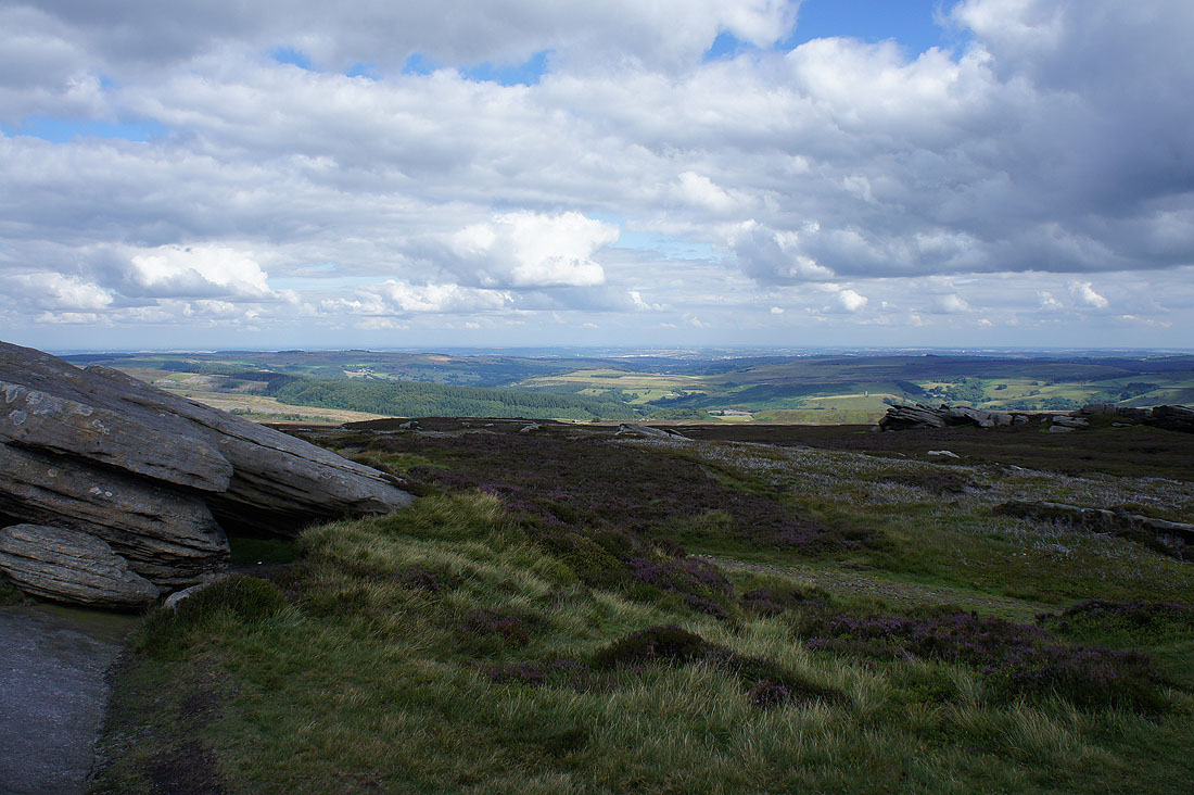
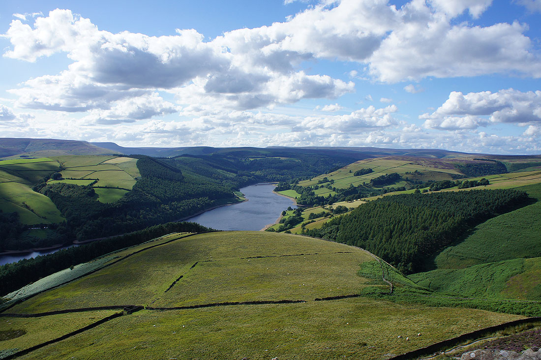
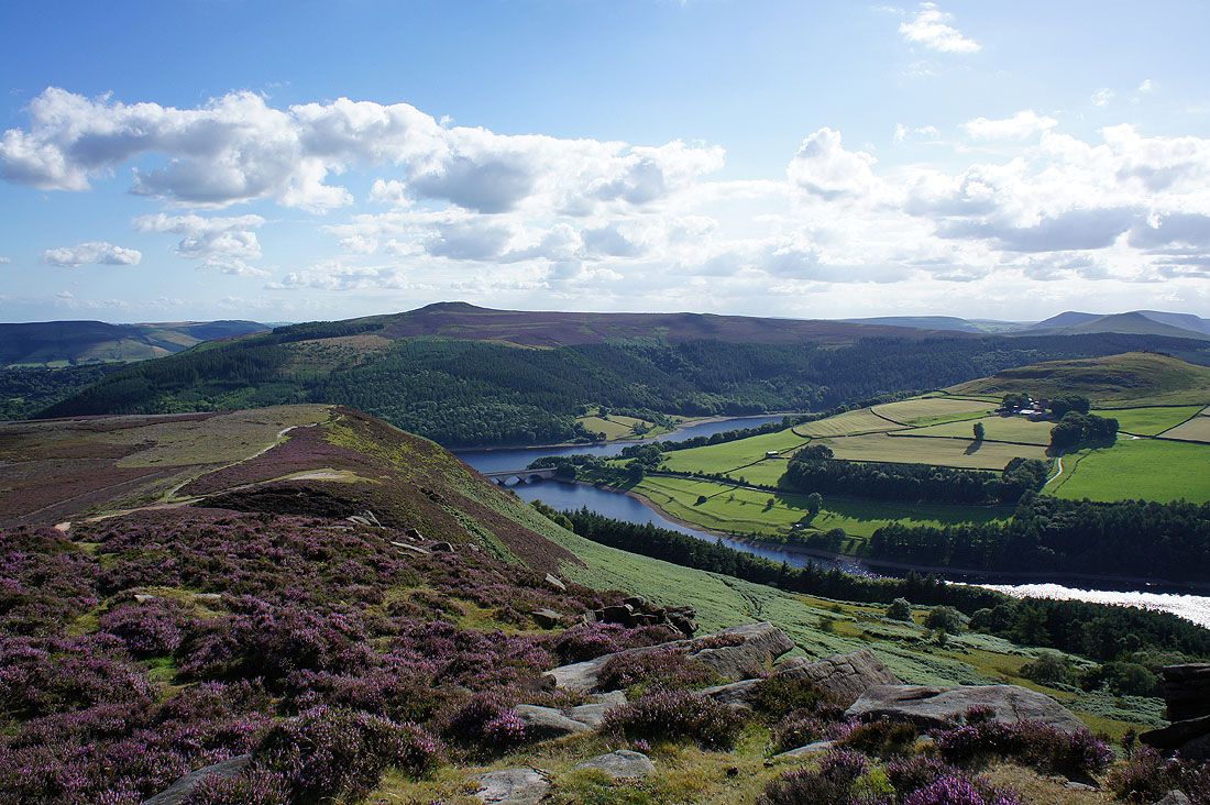
My arrival on Whinstone Lee Tor is greeted with a great view of the Ladybower Reservoir
Stanage Edge and Bamford Edge
Win Hill on the other side of Ladybower Reservoir
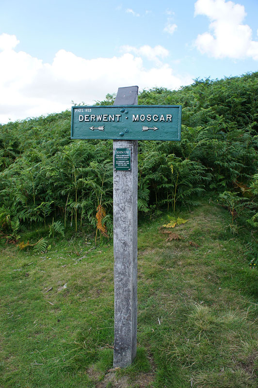
There are lots of Peak and Northern Footpath Society signs in this neck of the woods but it was the date on this one that caught my eye, 1933
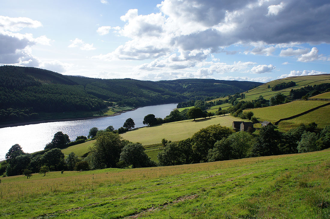
A lovely end to the afternoon as I follow the bridleway down to Derwent
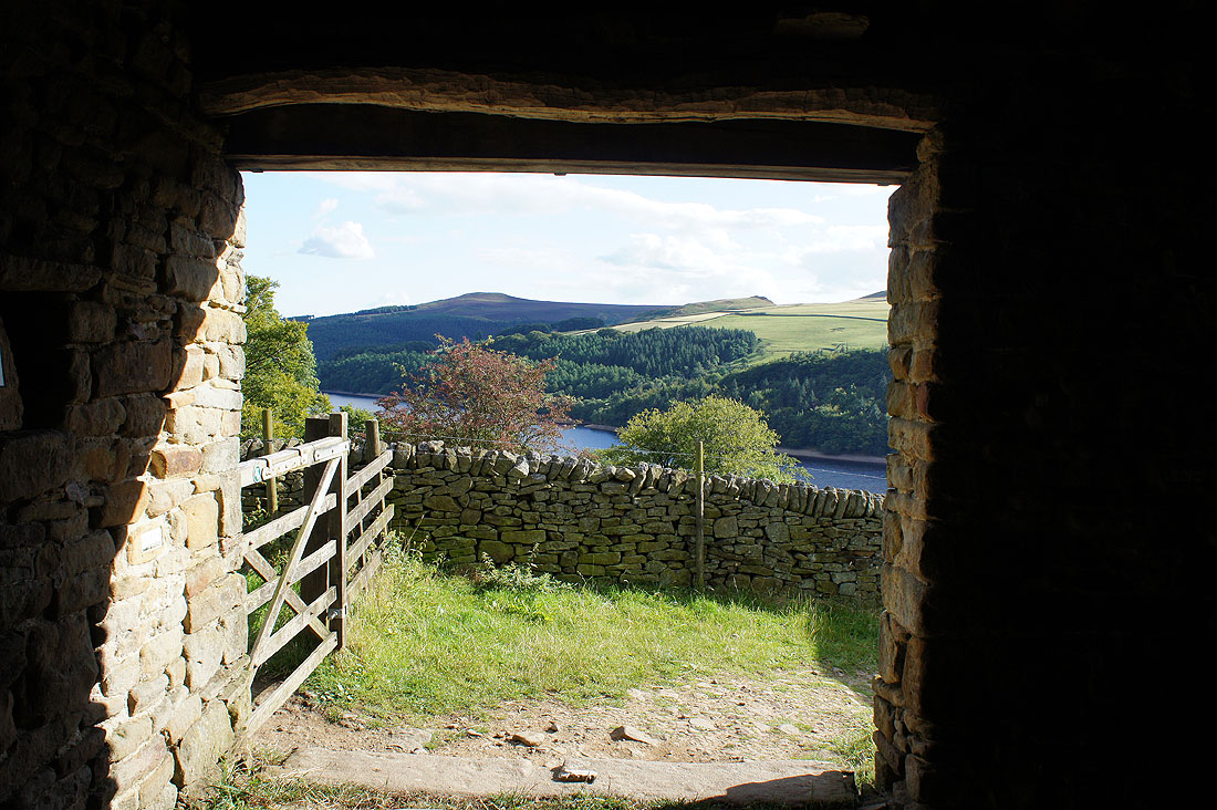
A bench with a view as I have a brief sit down inside the National Trust shelter by the path
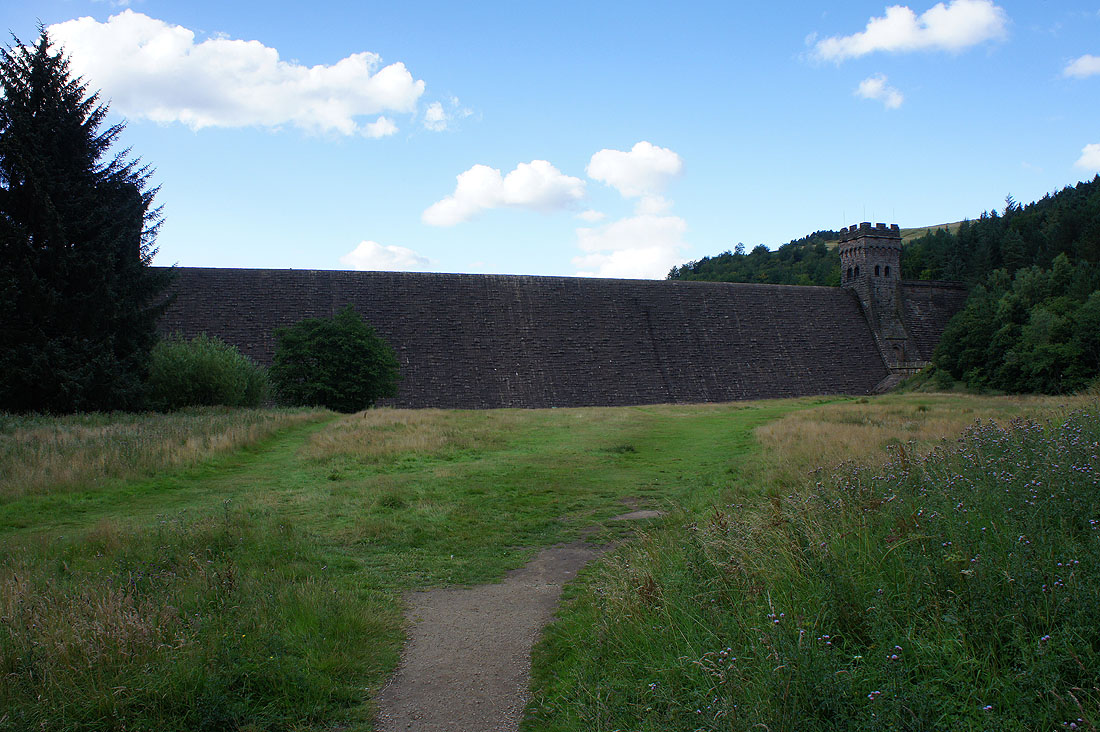
The Derwent dam as I make it back to Fairholmes
