15th August 2020 - Ingleborough
Walk Details
Distance walked: 10.7 miles
Total ascent: 1901 ft
OS map used: OL2 - Yorkshire Dales, Southern & Western areas
Time taken: 7 hrs
Route description: Selside-South House Farm-Sulber Nick-Sulber-Dales High Way-Ingleborough-Simon Fell-Park Fell-Colt Park-Selside Shaw-Selside Shaw Old Lane-Selside
West was best for deciding on where to go for a walk this weekend. With a lot of low cloud being carried by an easterly breeze, the further west that I could go, so that there was shelter from high ground to the east the better. After a check of the Ingleborough webcam, and seeing that it was bathed in blue skies and sunshine, I decided to do this route up Ingleborough from Selside. I've had it in mind for several weeks after trying to come up with a route up Ingleborough from Ribblesdale that would let me take in Simon Fell and Park Fell, as well as Ingleborough. It was a thoroughly enjoyable walk, much of it being on quiet paths, except on Ingleborough, which I expected to be busy. After setting off from Selside in blue skies and sunshine, it stayed that way until the middle of the afternoon when the low cloud that I could see to the east became more widespread and the skies gradually clouded over. It felt warm and really humid when the sun was out.
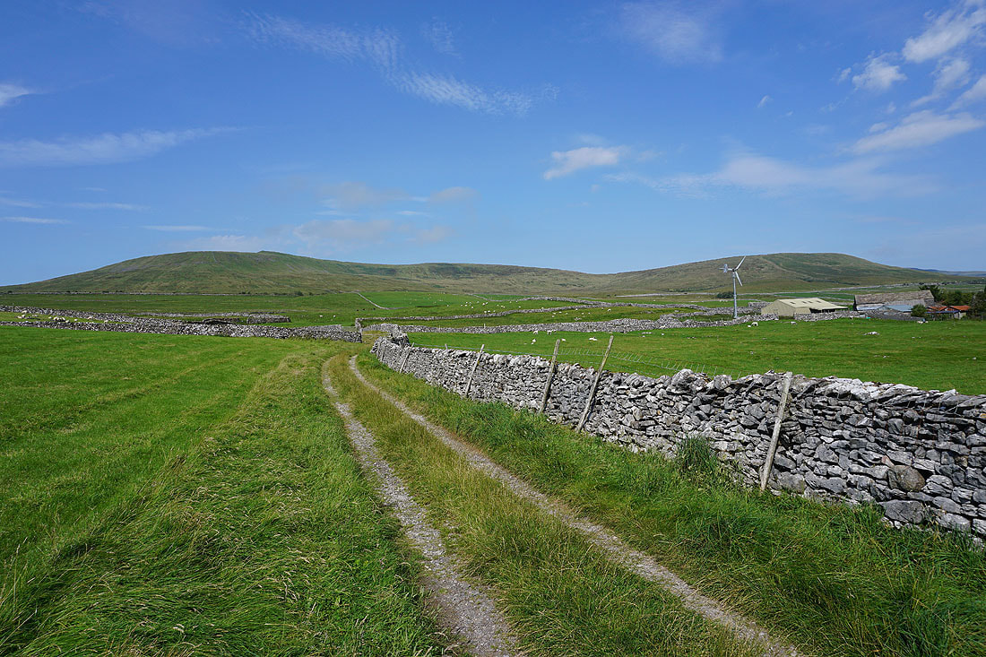
From where I parked on the track just off Selside Shaw Old Lane in Selside I followed the track west and then south onto the moors. At the end of the track I kept on the footpath south past Gill Garth Farm and Borrins Farm to briefly pick up the Pennine Bridleway, before leaving this for the footpath up to South House Farm and then onto the Ingleborough National Nature Reserve. This was where I reached access land, so I made my way up to the trig point just above. After taking in the view I made my way south across access land to reach the footpath from Horton-in-Ribblesdale to Sulber Nick. I then followed this path west through Sulber Nick and across Sulber to pick up the path across Simon Fell Breast and up to the summit of Ingleborough. After taking in the view and having a stop for lunch I made my way to the eastern end of the summit plateau, descended, and then made my way northeast onto Simon Fell, and to the cairn on the eastern edge of the fell above Ribblesdale. Once I'd taken in the view from here I retraced my steps and followed the wall north from Simon Fell and onto Park Fell and to the trig point there. I then descended the northern slopes of Park Fell to Colt Park, where I picked up a public footpath south across fields and then down and across Selside Shaw to Selside Shaw Old Lane. A short walk south along this road and I was back to where I parked just outside Selside.
Total ascent: 1901 ft
OS map used: OL2 - Yorkshire Dales, Southern & Western areas
Time taken: 7 hrs
Route description: Selside-South House Farm-Sulber Nick-Sulber-Dales High Way-Ingleborough-Simon Fell-Park Fell-Colt Park-Selside Shaw-Selside Shaw Old Lane-Selside
West was best for deciding on where to go for a walk this weekend. With a lot of low cloud being carried by an easterly breeze, the further west that I could go, so that there was shelter from high ground to the east the better. After a check of the Ingleborough webcam, and seeing that it was bathed in blue skies and sunshine, I decided to do this route up Ingleborough from Selside. I've had it in mind for several weeks after trying to come up with a route up Ingleborough from Ribblesdale that would let me take in Simon Fell and Park Fell, as well as Ingleborough. It was a thoroughly enjoyable walk, much of it being on quiet paths, except on Ingleborough, which I expected to be busy. After setting off from Selside in blue skies and sunshine, it stayed that way until the middle of the afternoon when the low cloud that I could see to the east became more widespread and the skies gradually clouded over. It felt warm and really humid when the sun was out.
From where I parked on the track just off Selside Shaw Old Lane in Selside I followed the track west and then south onto the moors. At the end of the track I kept on the footpath south past Gill Garth Farm and Borrins Farm to briefly pick up the Pennine Bridleway, before leaving this for the footpath up to South House Farm and then onto the Ingleborough National Nature Reserve. This was where I reached access land, so I made my way up to the trig point just above. After taking in the view I made my way south across access land to reach the footpath from Horton-in-Ribblesdale to Sulber Nick. I then followed this path west through Sulber Nick and across Sulber to pick up the path across Simon Fell Breast and up to the summit of Ingleborough. After taking in the view and having a stop for lunch I made my way to the eastern end of the summit plateau, descended, and then made my way northeast onto Simon Fell, and to the cairn on the eastern edge of the fell above Ribblesdale. Once I'd taken in the view from here I retraced my steps and followed the wall north from Simon Fell and onto Park Fell and to the trig point there. I then descended the northern slopes of Park Fell to Colt Park, where I picked up a public footpath south across fields and then down and across Selside Shaw to Selside Shaw Old Lane. A short walk south along this road and I was back to where I parked just outside Selside.
Route map
© Crown copyright. All rights reserved. License number PU 100034184.
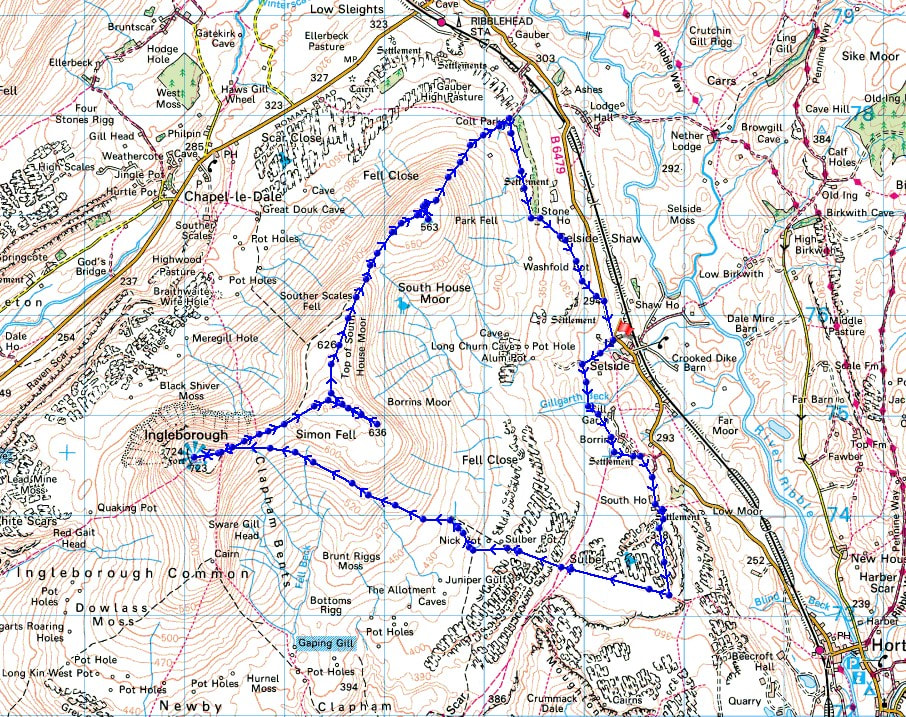
Penyghent from Selside
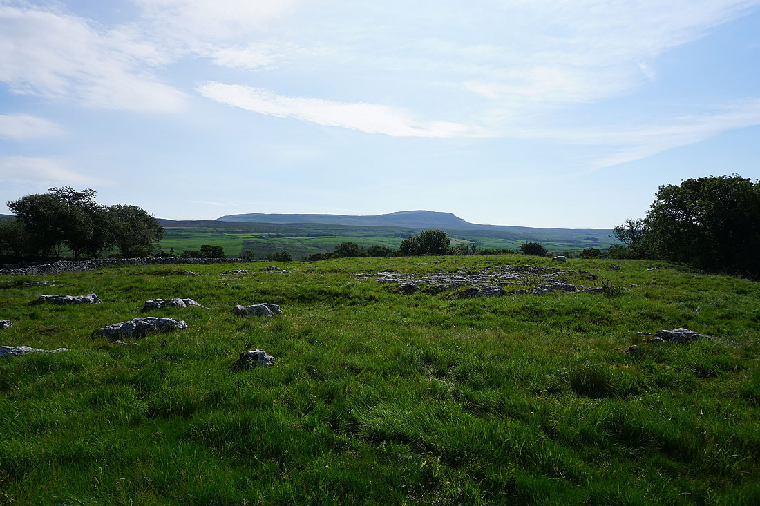
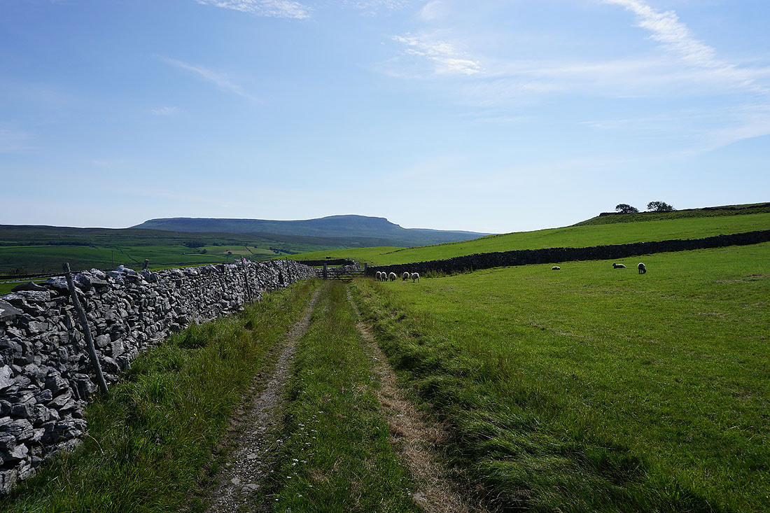
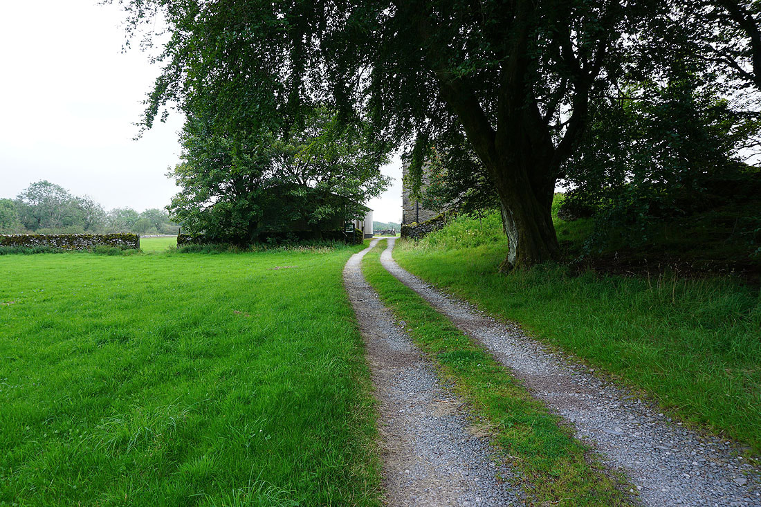
Simon Fell ahead as I follow the track from Selside up onto the moors
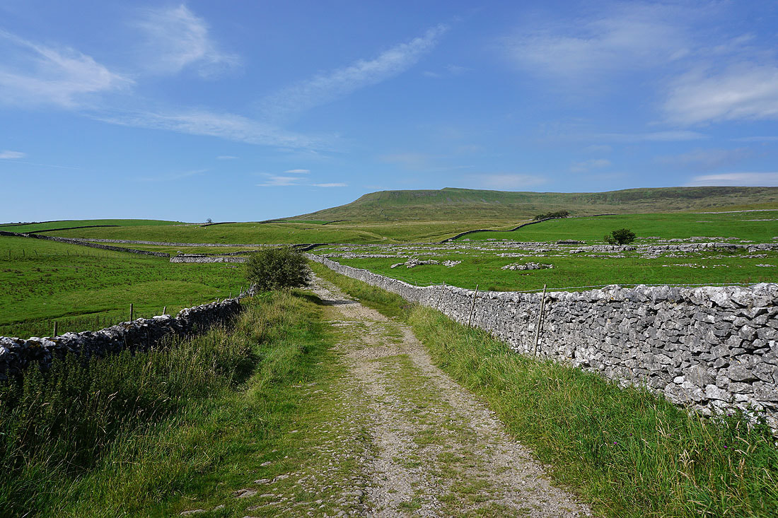
Looking back towards Selside and up Ribblesdale. The low cloud on the hills to the east can be seen.
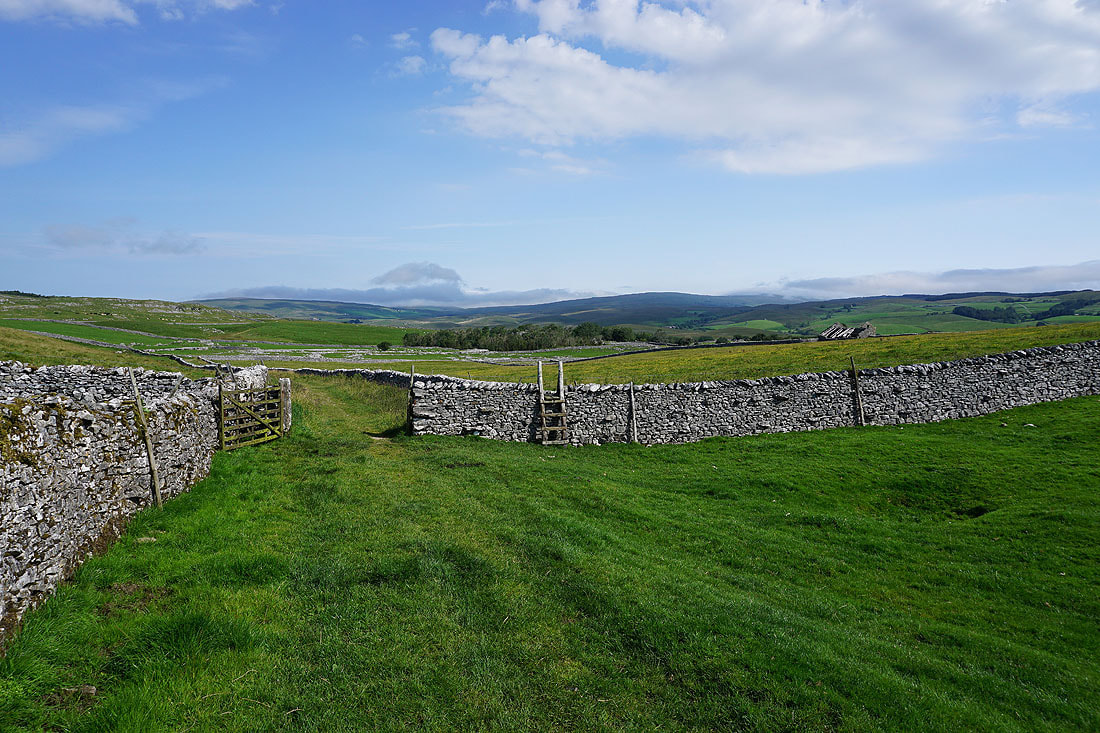
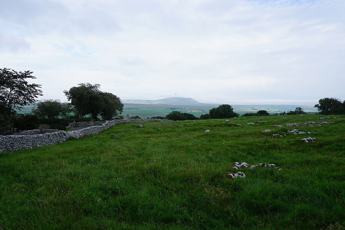
Penyghent..
..and Simon Fell, as I pass Borrins Farm
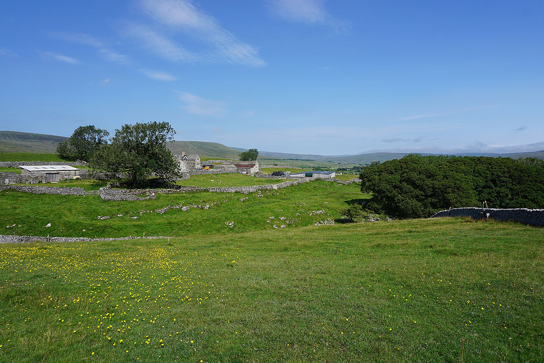
South House Farm as I reach access land and the Ingleborough National Nature Reserve
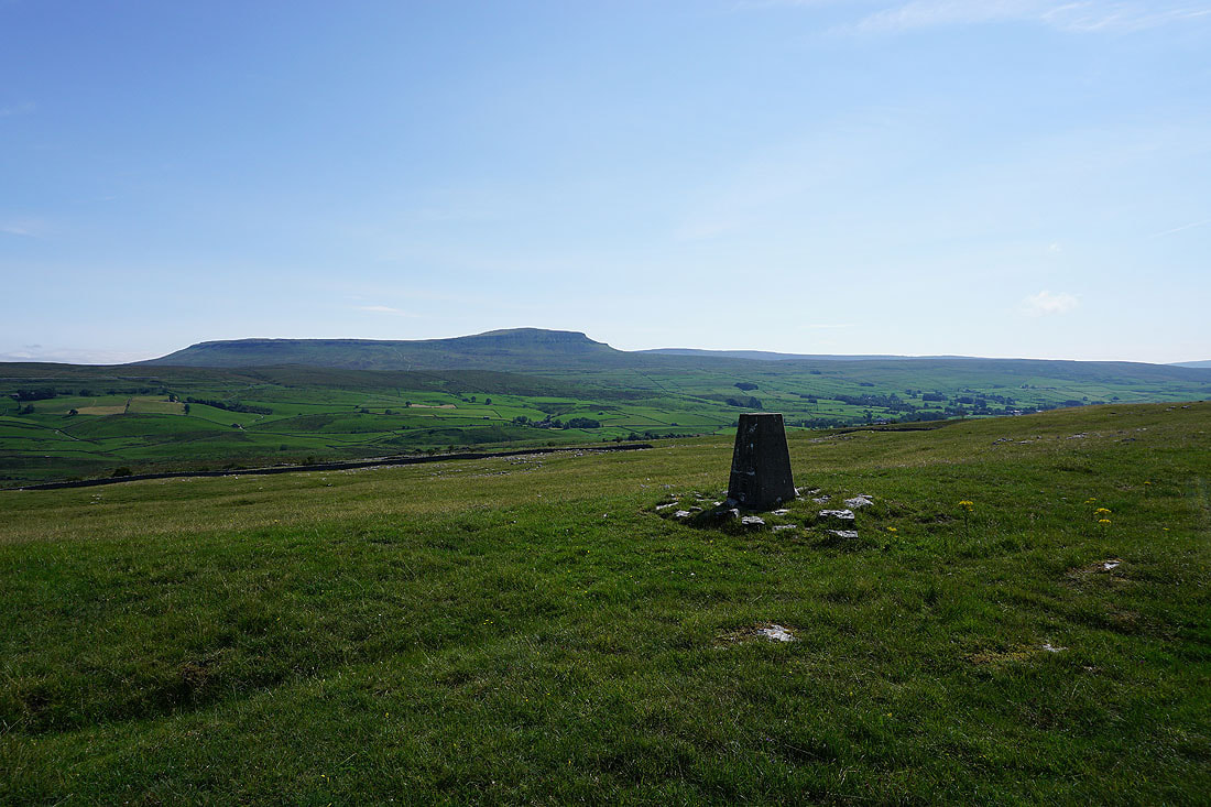
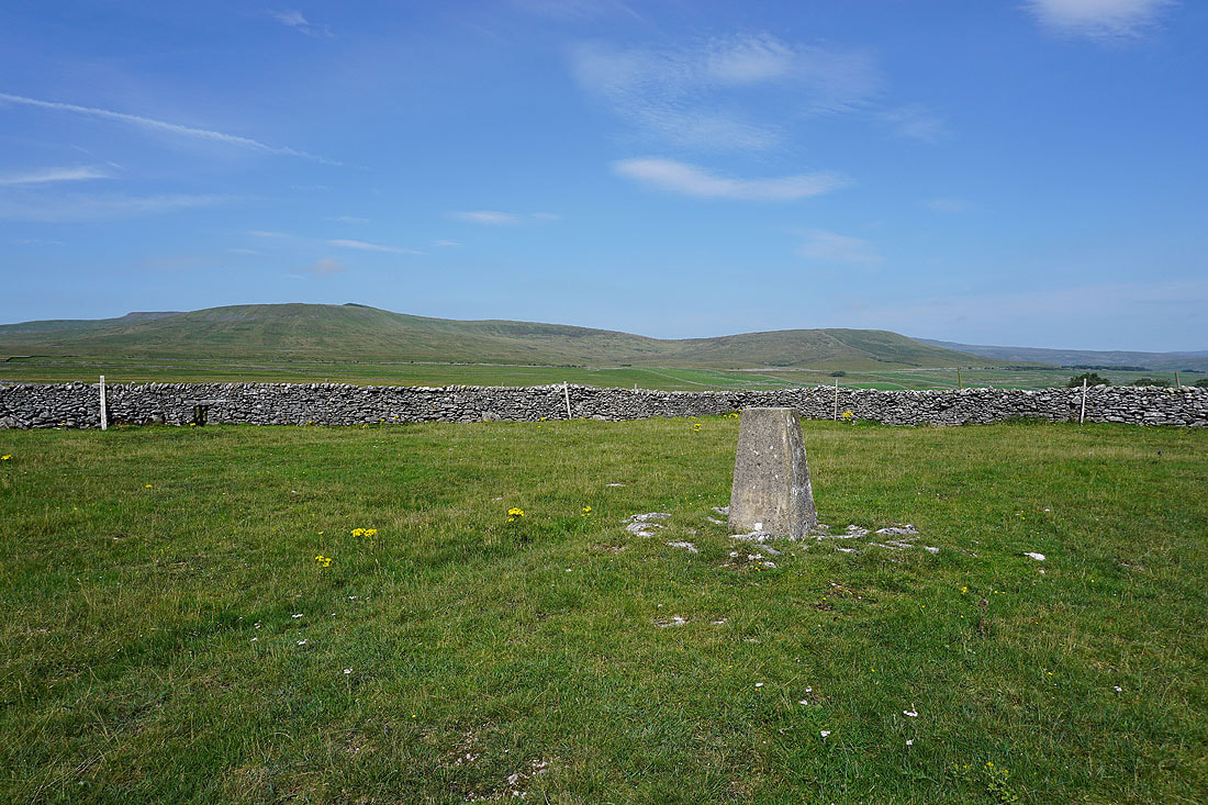
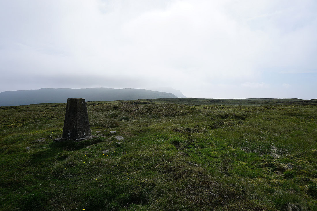
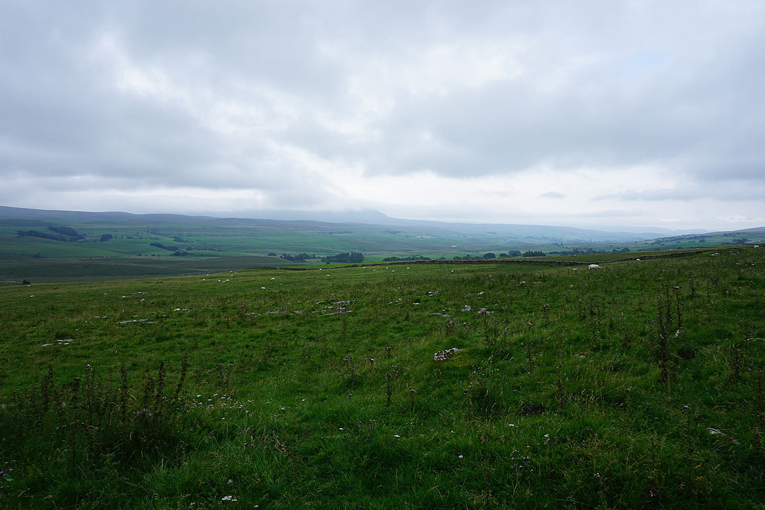
Penyghent and Ribblesdale from the trig point above Brae Pasture Nature Reserve
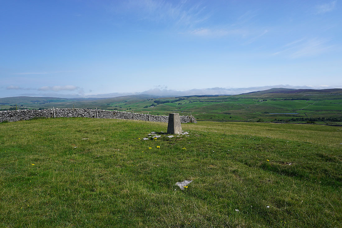
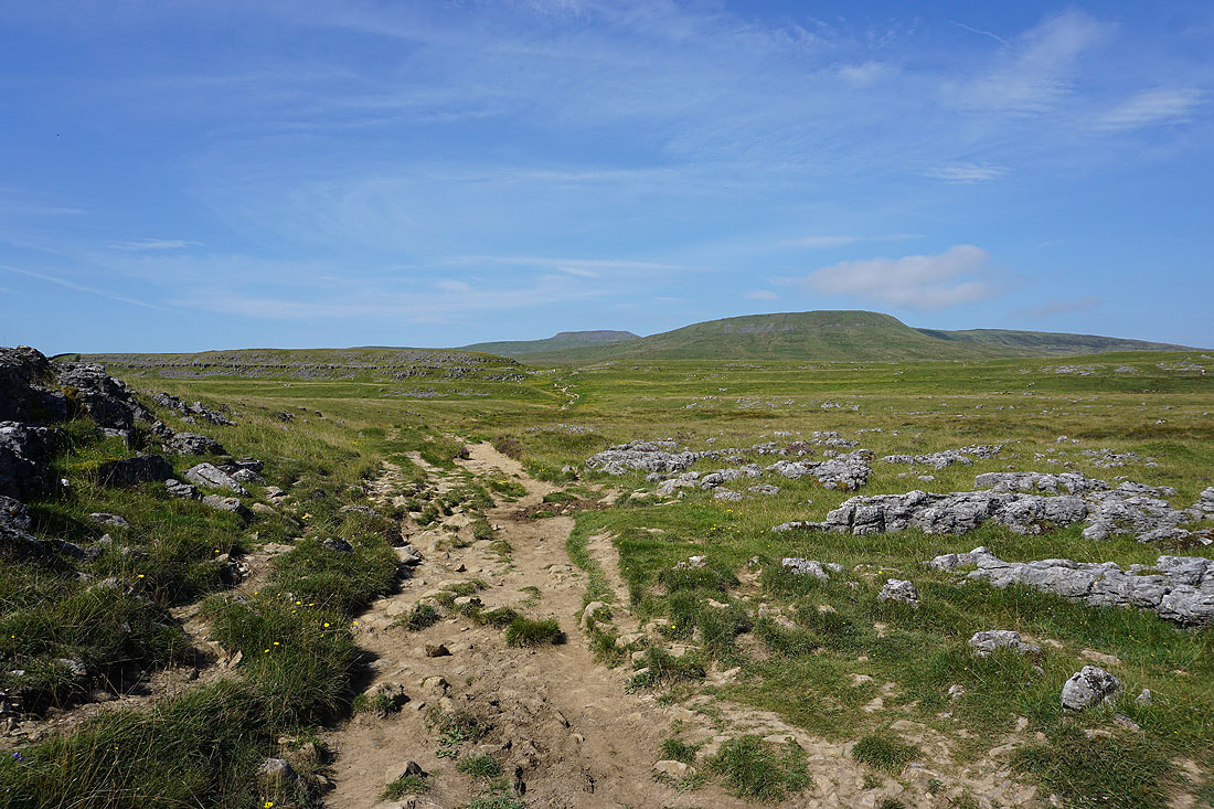
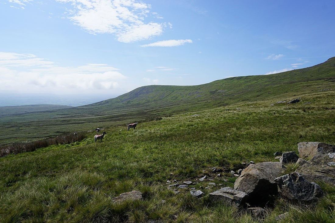
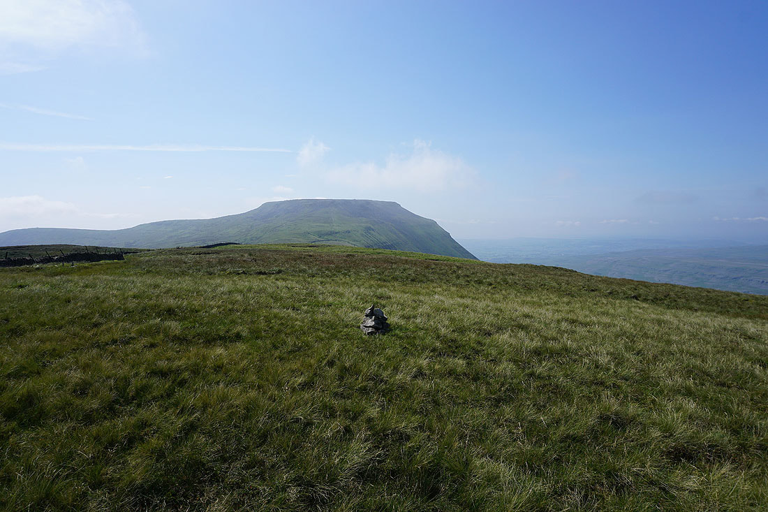
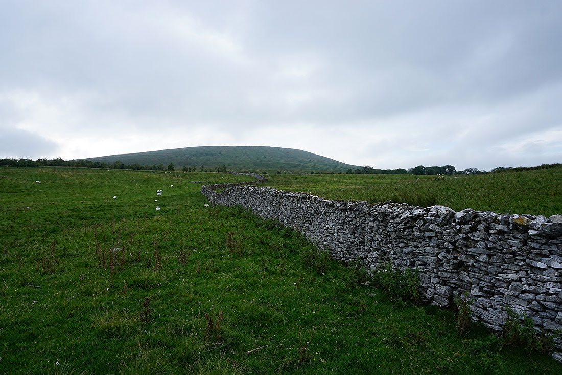
Simon Fell and Park Fell to the northwest
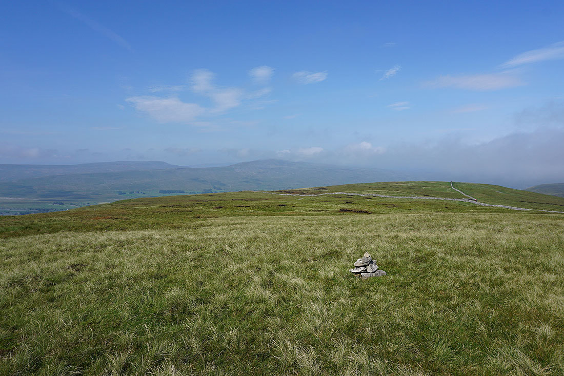
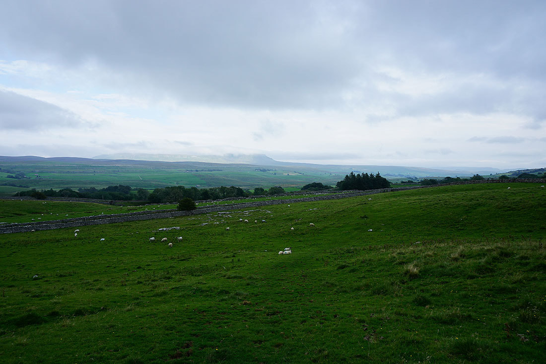
Looking north up Ribblesdale towards Cam Fell
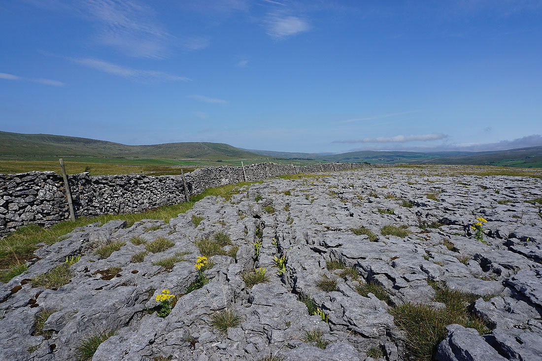
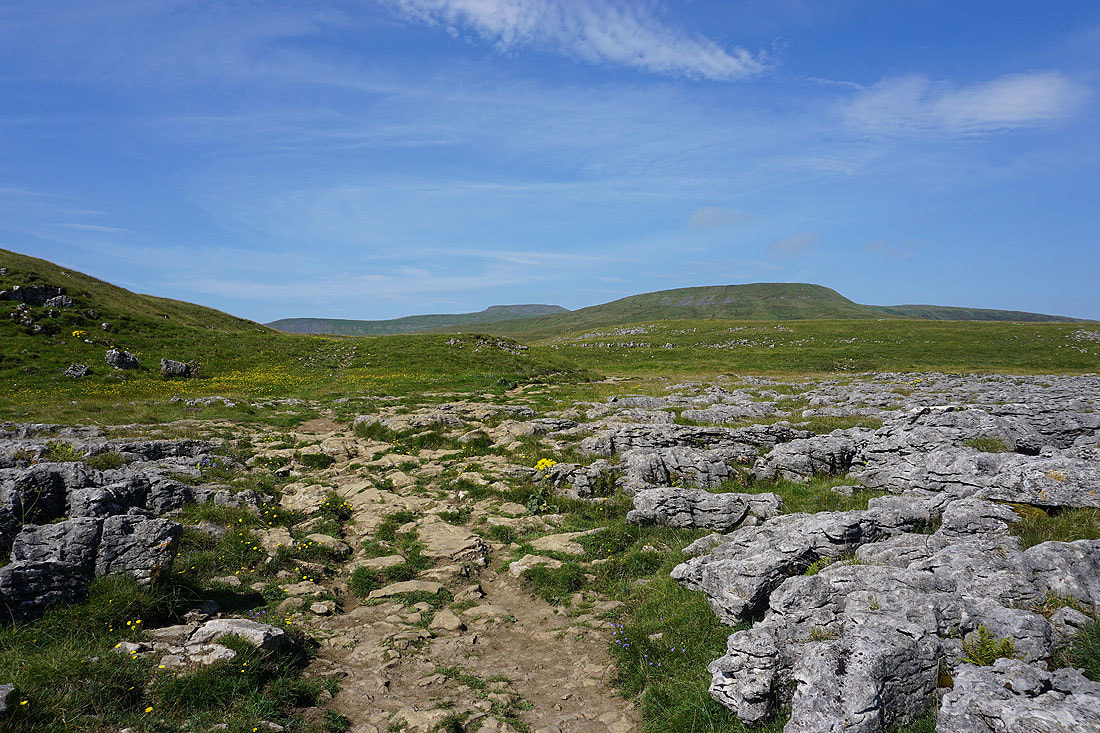
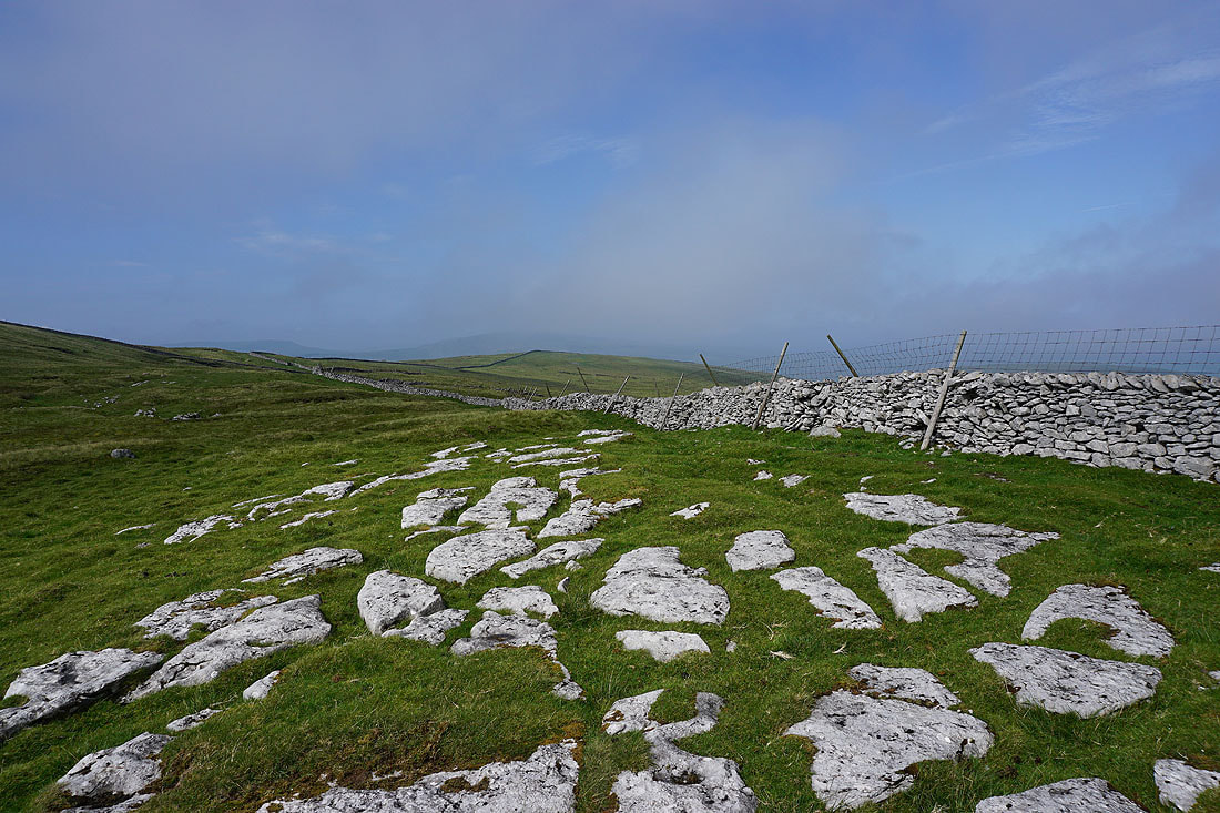
Just a small part of the limestone pavement that makes up this part of the Ingleborough National Nature Reserve
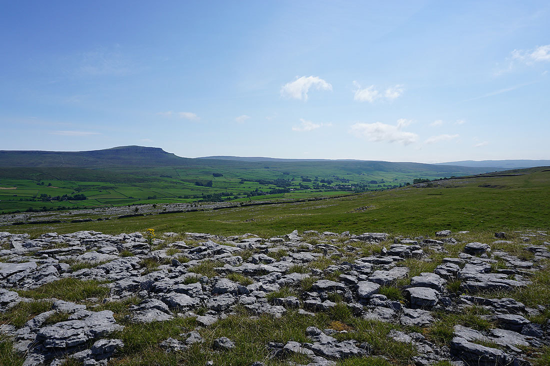
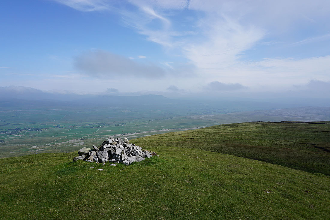
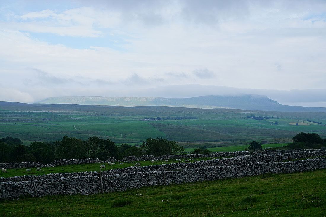
Penyghent and Ribblesdale
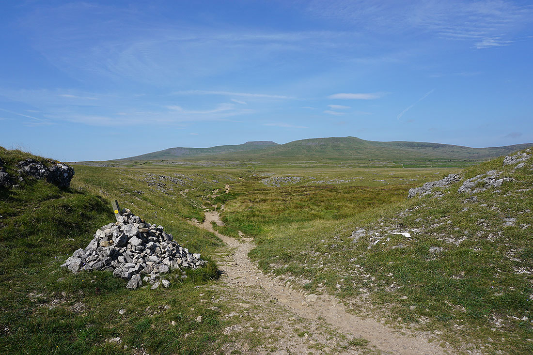
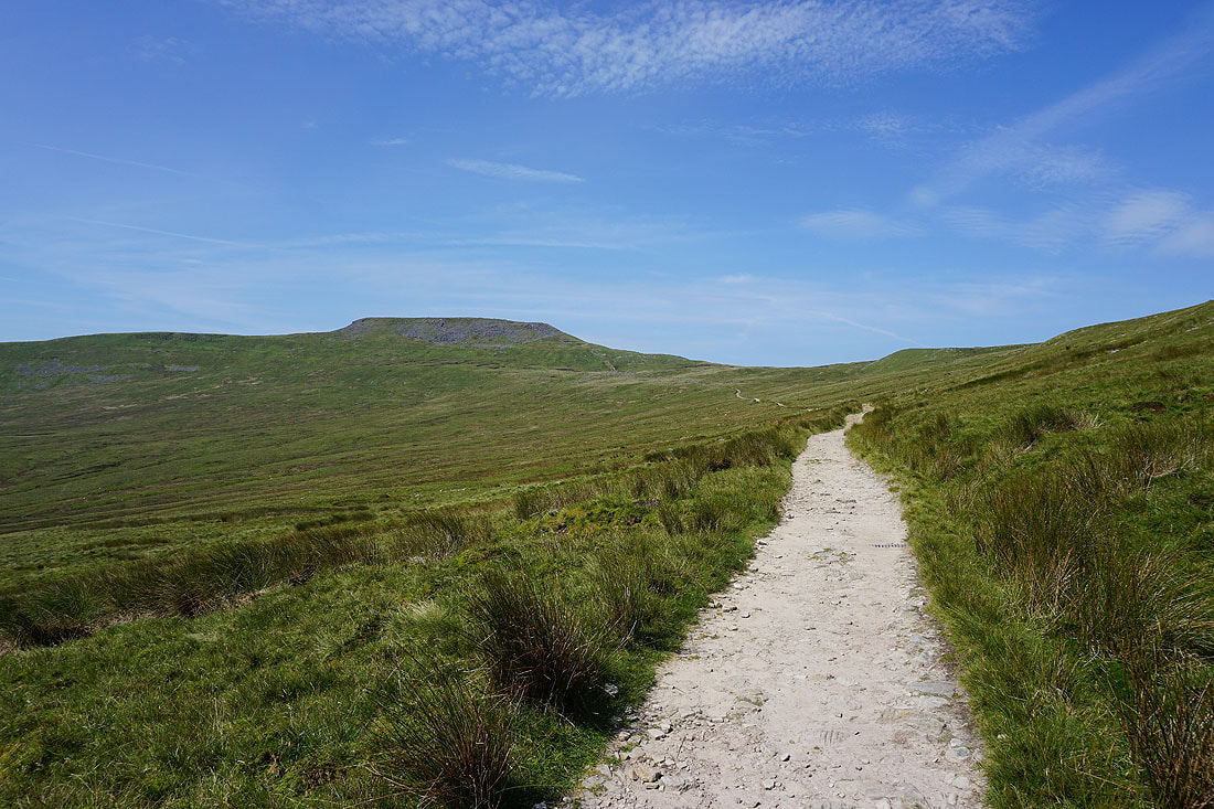
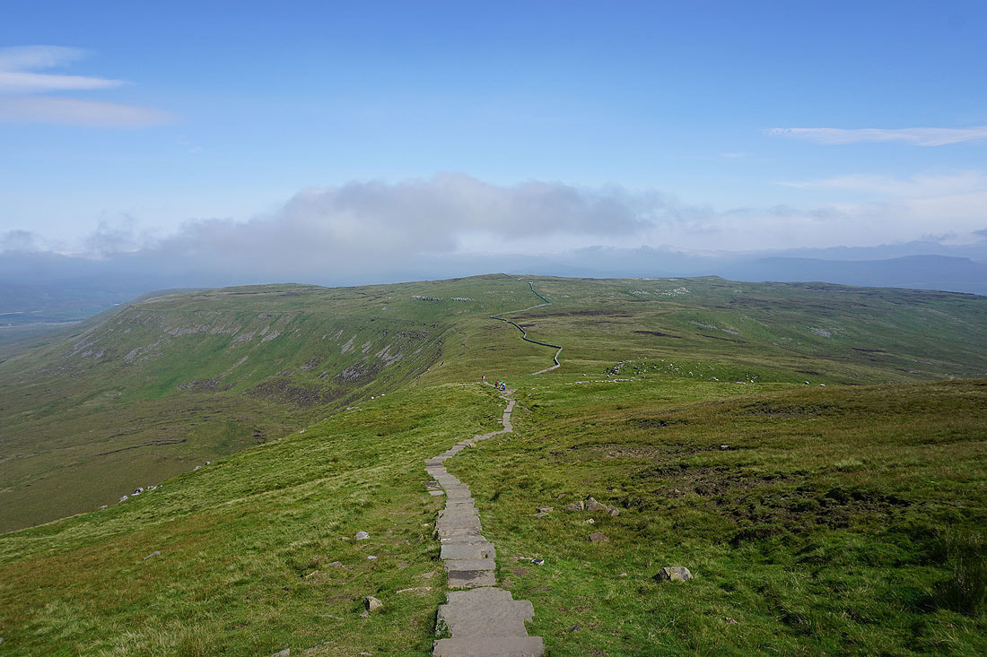
Ingleborough makes a tempting target as I take the path through Sulber Nick...
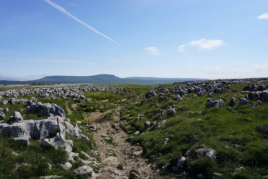
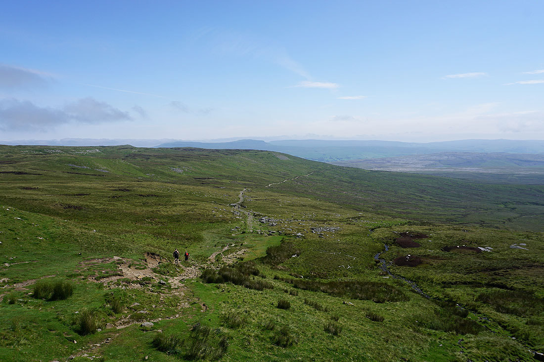
Looking back through Sulber Nick to Penyghent
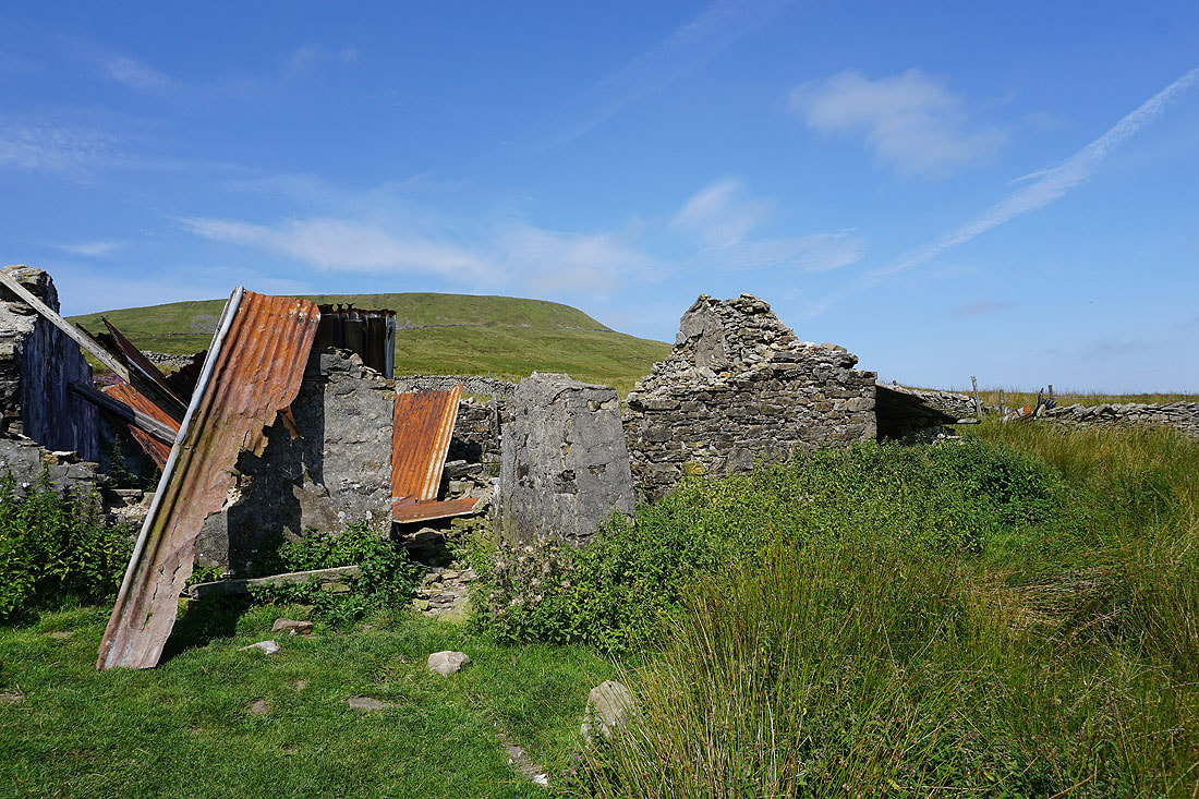
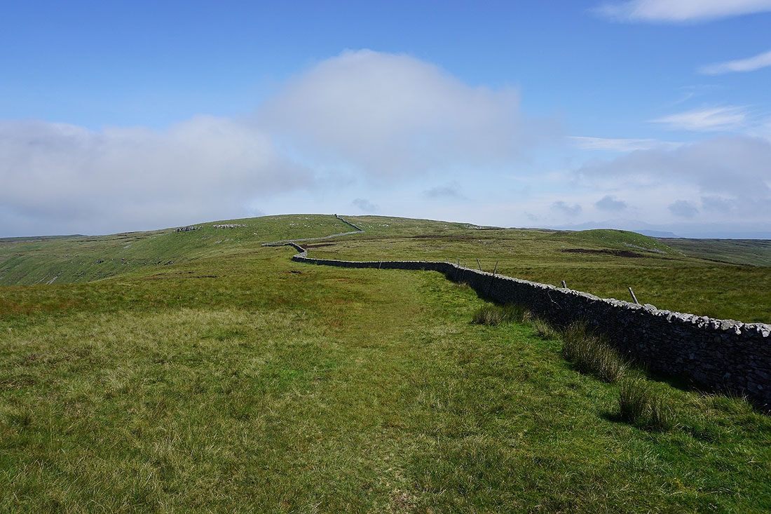
At the ruins of the shooting hut beneath Simon Fell
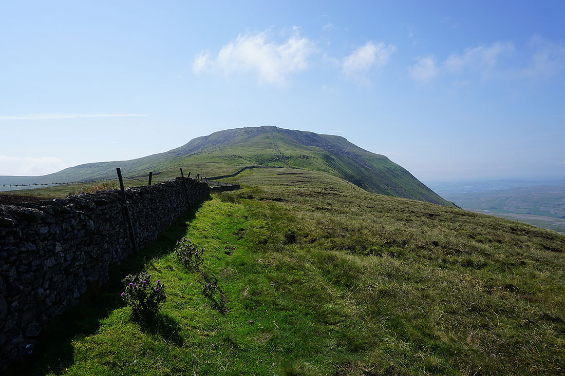
Heading for Ingleborough on the path across Simon Fell Breast
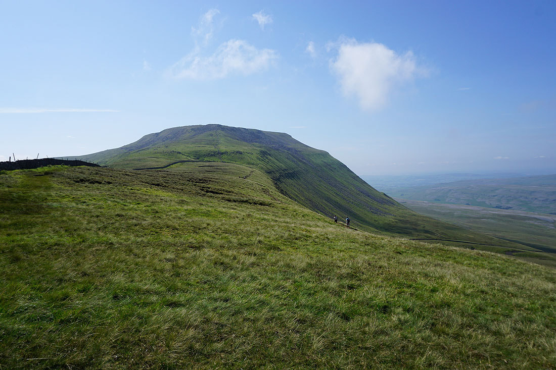
Looking across to Little Ingleborough...
...and back across Simon Fell Breast to Penyghent and Fountains Fell in the distance on the other side of Ribblesdale
After a break for lunch in a quiet spot on the northern edge of Ingleborough, it's time to take in the views with an anti-clockwise circuit of the summit plateau. Starting with looking east to Simon Fell. The low cloud coming from that direction looks more extensive than it was earlier in the day.
Gragareth and Great Coum, with Twisleton Scars on the other side of Chapel-le-Dale
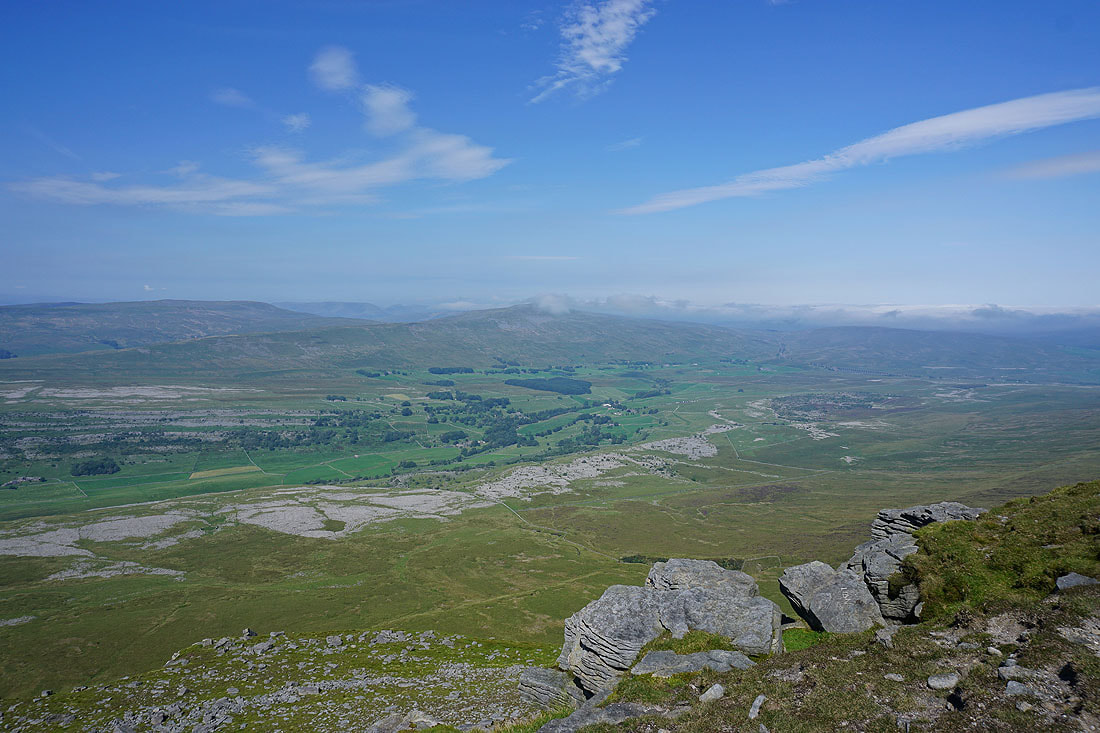
Great Coum, Whernside and Ribblehead..
Another shot of Simon Fell to the east
Gragareth and Twisleton Scars, with the limestone pavements of White Scars below
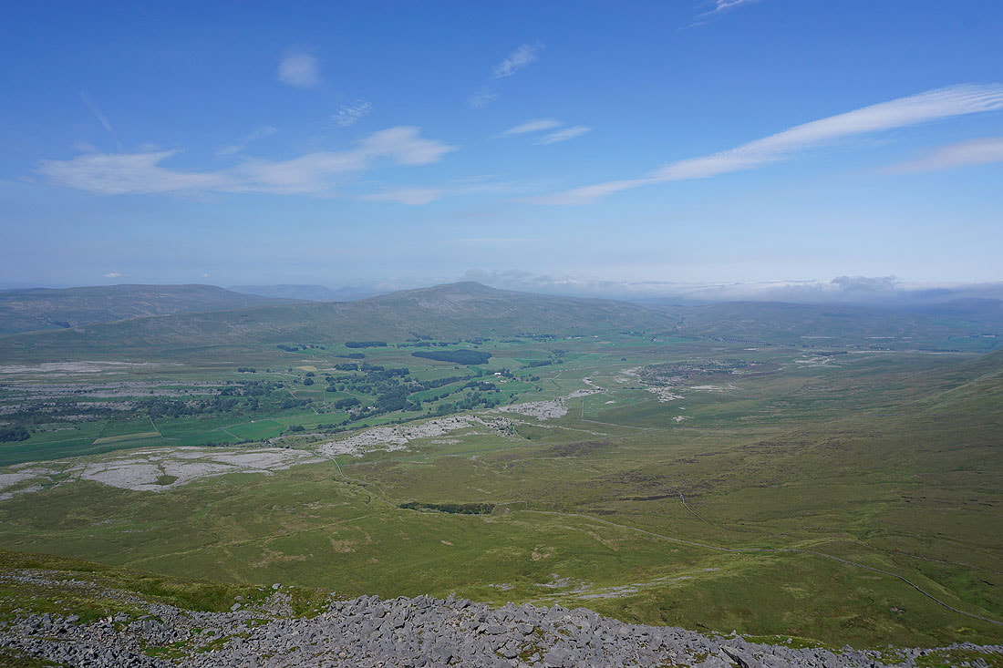
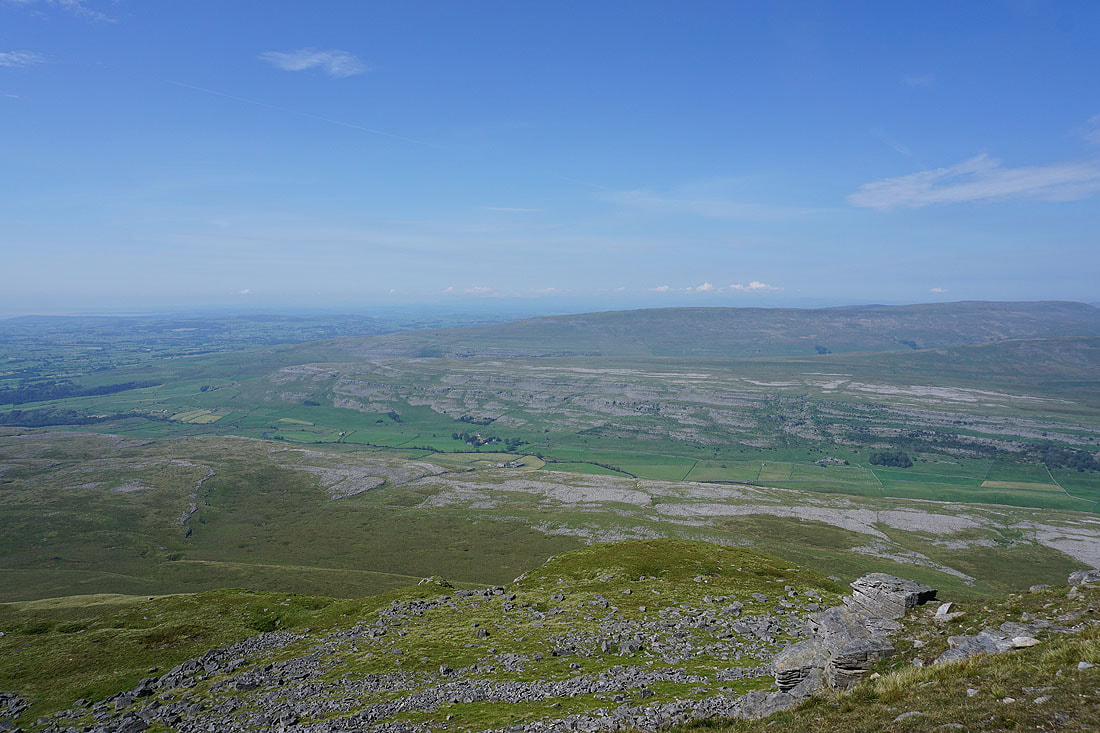
Great Coum, Whernside, Chapel-le-Dale and Ribblehead
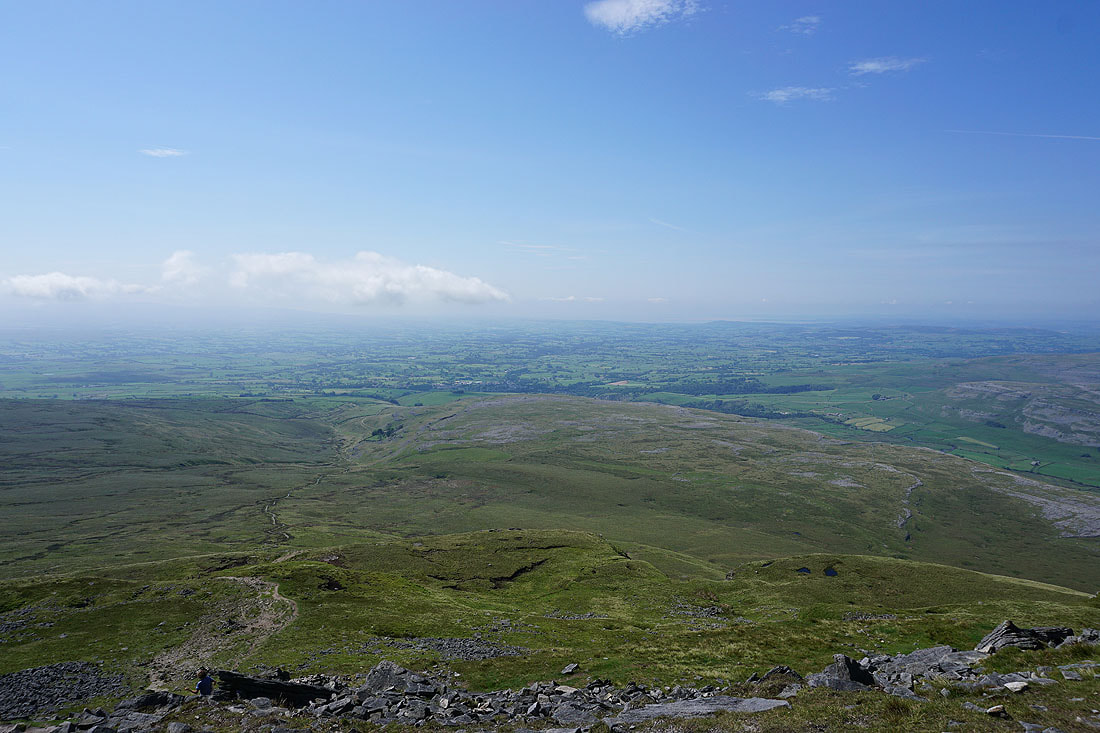
Looking out to Morecambe Bay with Ingleton below
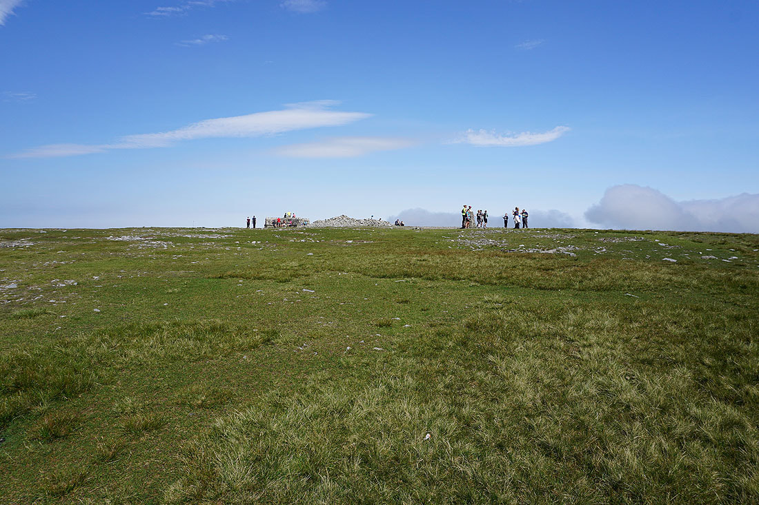
Ingleborough's summit furniture
Little Ingleborough
Penyghent and Fountains Fell to the east
At the top of the path to Little Ingleborough, which is the way to Gaping Gill and Clapham
Heading for Simon Fell..
Looking back to Ingleborough..
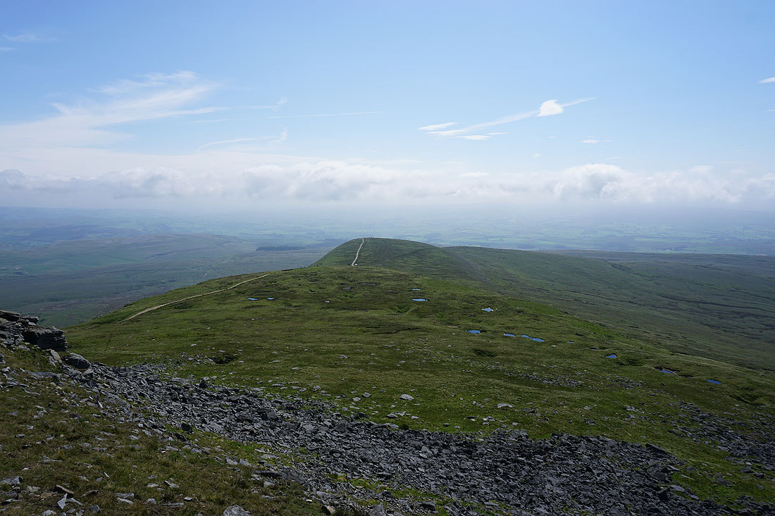
Ingleborough from the top of Simon Fell
Great Coum and Whernside still visible through the low cloud
As is Penyghent, just about, from the cairn on Lord's Seat, on the eastern side of Simon Fell above Ribblesdale
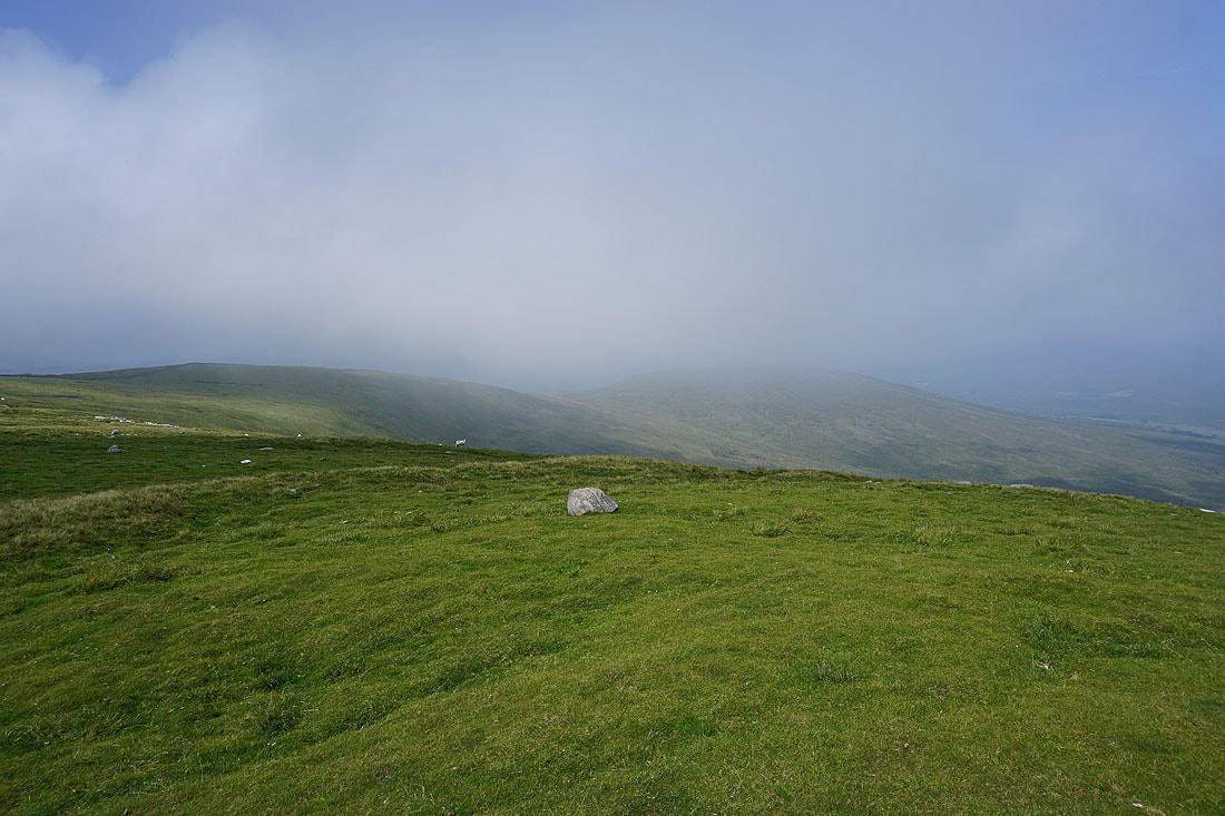
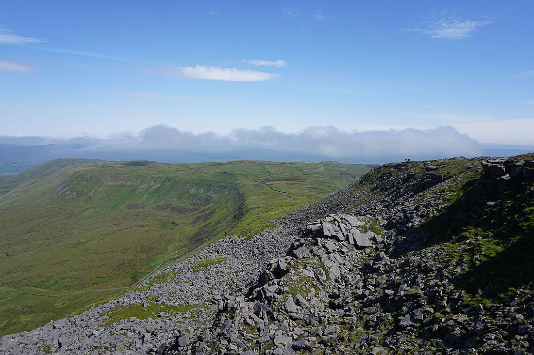
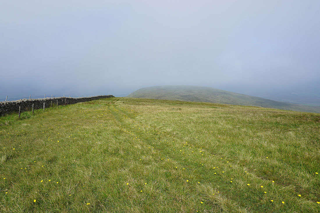
Low cloud drifts across Simon Fell and Park Fell
Exposed limestone on Simon Fell
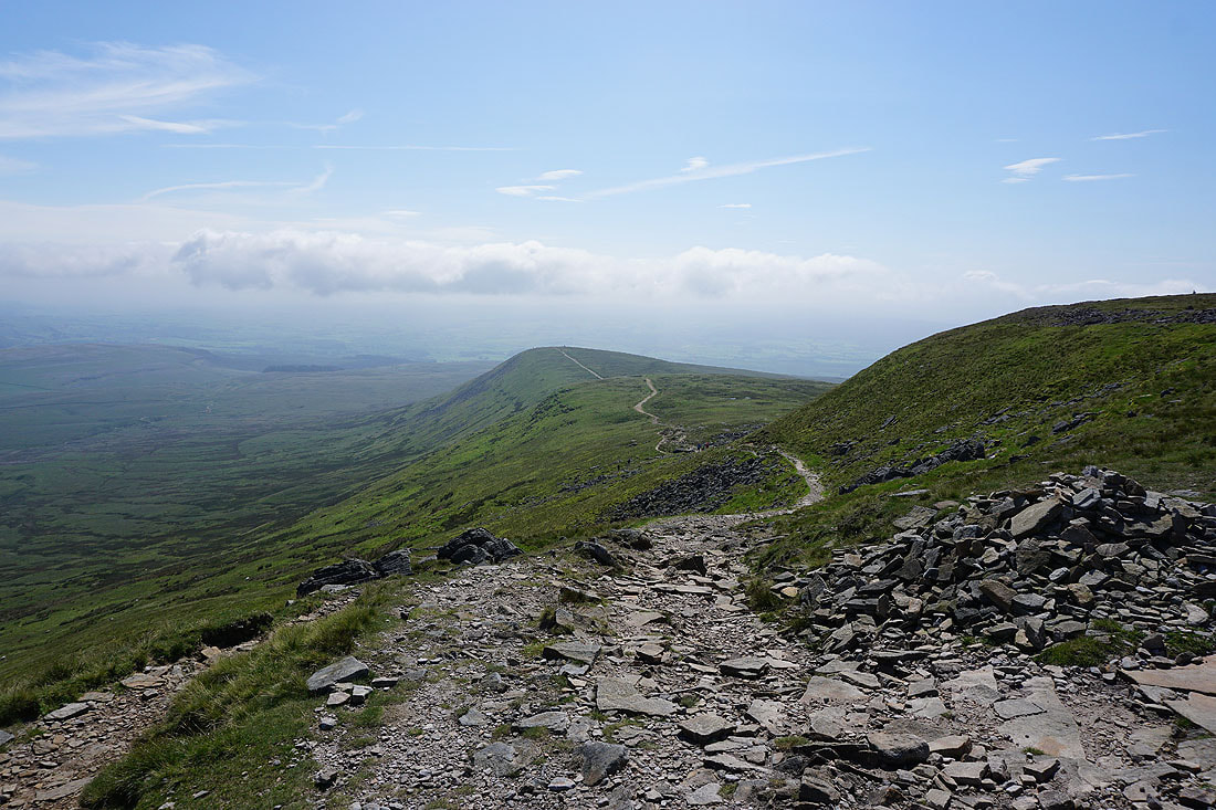
Heading for Park Fell

A cloud topped Whernside, Ribblehead, and Park Fell from Black Rock
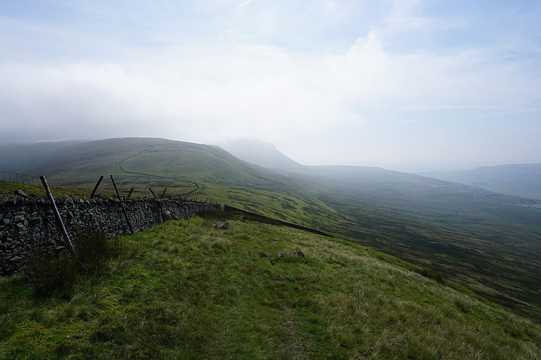
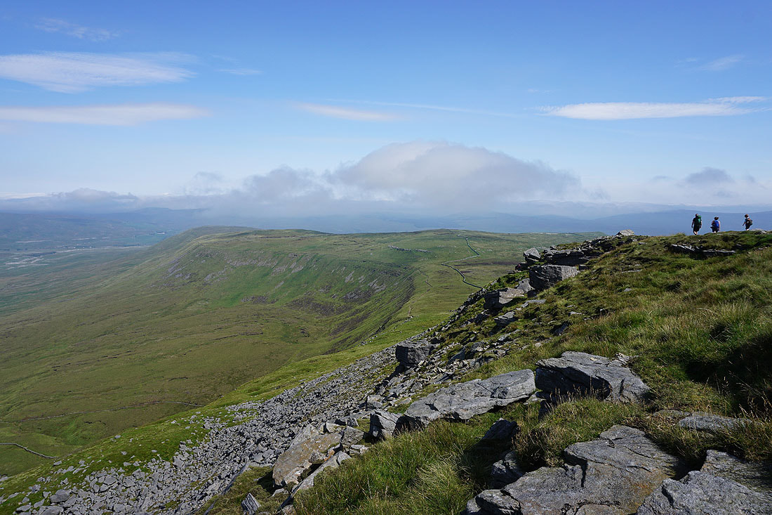
Looking southwest along the edges of Park Fell and Simon Fell to Ingleborough
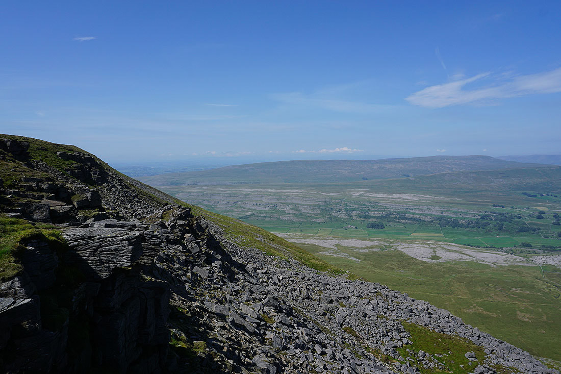
Whernside and Ribblehead from Park Fell
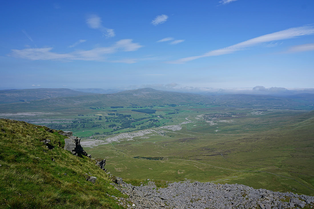
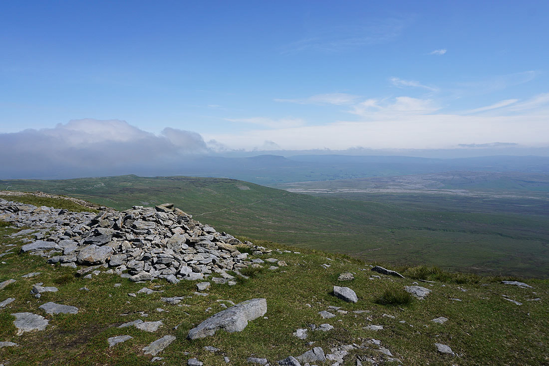
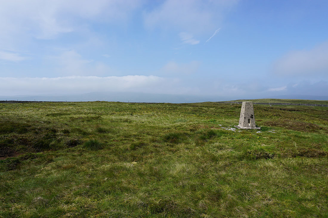
Simon Fell and Ingleborough from the trig point on Park Fell
Whernside is now shrouded in cloud
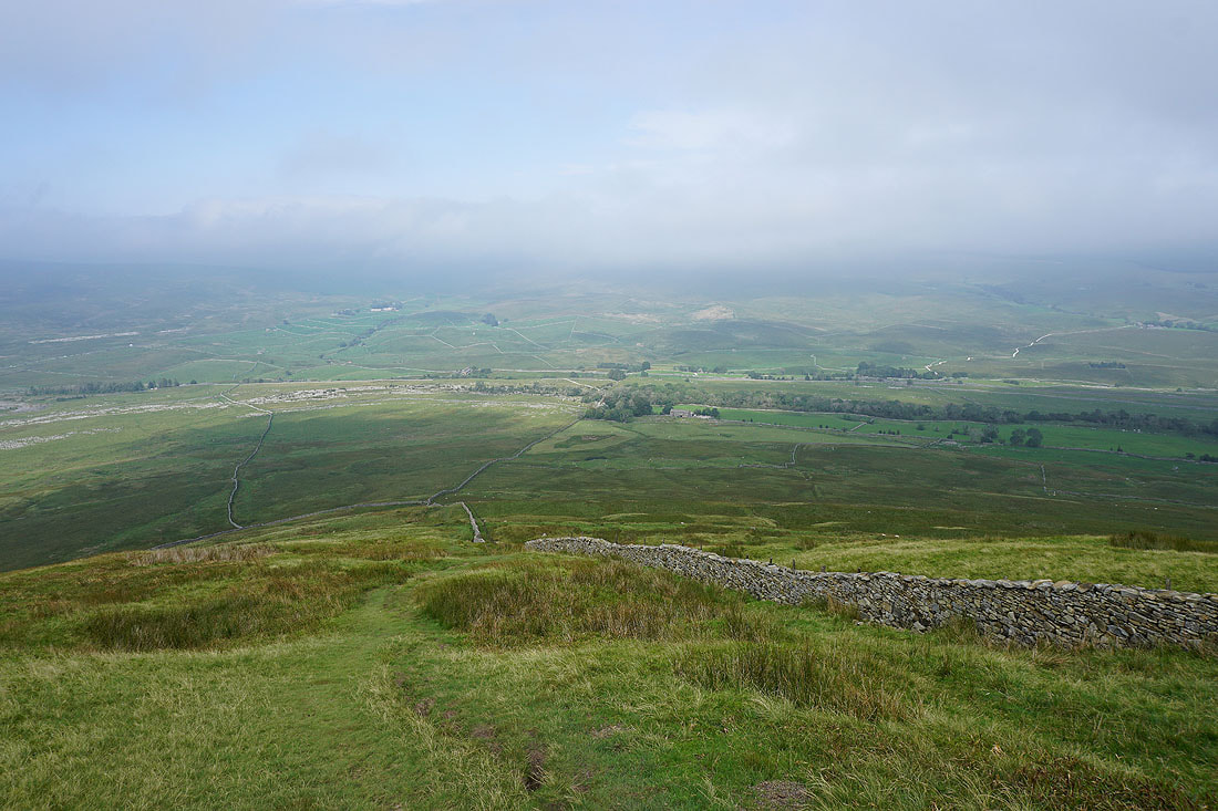
A steep descent from Park Fell down to Colt Park
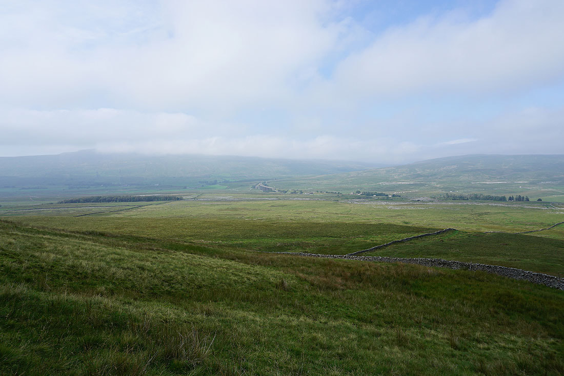
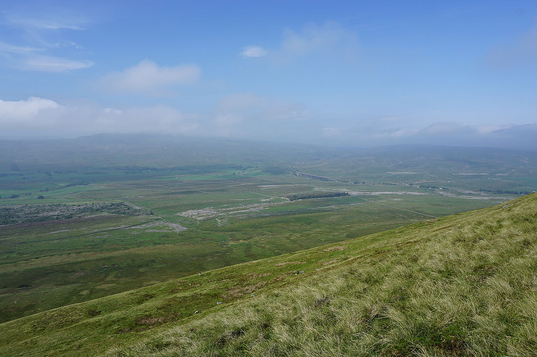
The Ribblehead Viaduct in the distance
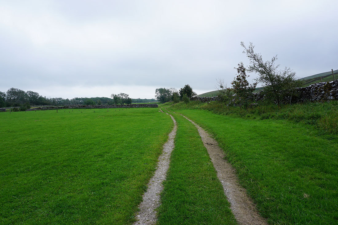
On the footpath through Colt Park..
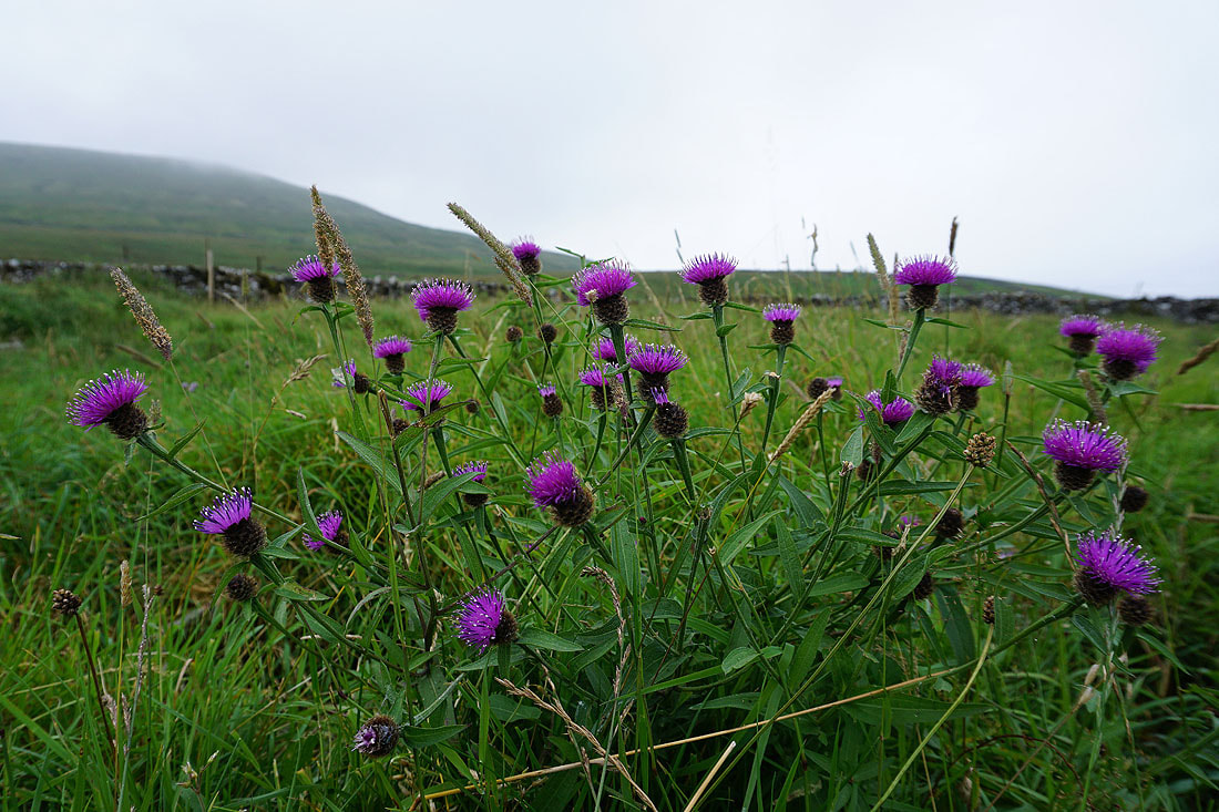
Common Knapweed in flower
Grey skies and low cloud over Ribblesdale from Selside Shaw
Park Fell above
Sunshine on a cloud wreathed Penyghent..
Penyghent as I make it back to Selside