15th December 2019 - Weets Hill
Walk Details
Distance walked: 7.8 miles
Total ascent: 1113 ft
OS map used: OL21 - South Pennines
Time taken: 5 hrs
Route description: Foulridge-Foulridge Lower Reservoir-Sand Hall-Holly Bush Farm-Whitemoor Riding Centre-Standing Stone Lane-Gisburn Old Road-Weets House Farm-Weets Hill-Weets House Farm-Gisburn Old Road-Lister Well Road-Copy Nook-High Lane-Booth House Farm-Wood End Farm-County Brook Lane-County Brook Mill-Mill Hill Bridge-Leeds and Liverpool Canal-Foulridge
I wasn't really expecting to find a cover of snow when I looked outside this morning, at least not down where I live, though it was forecast for higher up on the hills. Things didn't look at all promising with grey skies and low cloud, and although it was supposed to brighten up I didn't see the point of driving anywhere when I could walk to Weets Hill and back from home. So that's what I did. It took a while to brighten up but the sun came out while I was walking up Gisburn Old Road so that I was treated to some fabulous views from the top of Weets Hill. The snow was surprisingly deep up there and it concealed hidden dangers. With no cold weather to freeze the ground before the snow fell, it just covered all the boggy bits, and I got a boot full of icy cold, muddy water stepping in one of them. Although it was a cold day it wasn't cold enough to stop the snow from starting to thaw and by the following morning it had pretty much all gone.
From where I live in Foulridge I made my way to Foulridge Lower Reservoir, walked round it and took the footpath up the track to Sand Hall and Holly Bush Farm, then up fields to Whitemoor Riding Centre on Standing Stone Lane. I then turned left and walked along Standing Stone Lane to the junction with Gisburn Old Road, then turned right and walked north up this road all the way to its end at Weets House Farm, where I went through a gate and took the path to the summit of Weets Hill. After taking a break to admire the view and to have my lunch, I made my way back to Weets House Farm and walked down Gisburn Old Road until I reached the turn-off for the Pennine Bridleway and Lister Well Road. I followed Lister Well Road across White Moor until I reached a footpath on the right which I took down to Copy Nook and High Lane. I briefly walked south along High Lane to take the footpath on the other side of the road down to Booth House Farm, then followed a path south across fields, down to the bridge over County Brook and to County Brook Lane. I then turned left and walked down the road to County Brook Mill where a footpath heads down to Mill Hill Bridge over the Leeds and Liverpool Canal. I was then left with a walk south along the towpath to Foulridge Wharf and then home.
Route map
© Crown copyright. All rights reserved. License number PU 100034184.
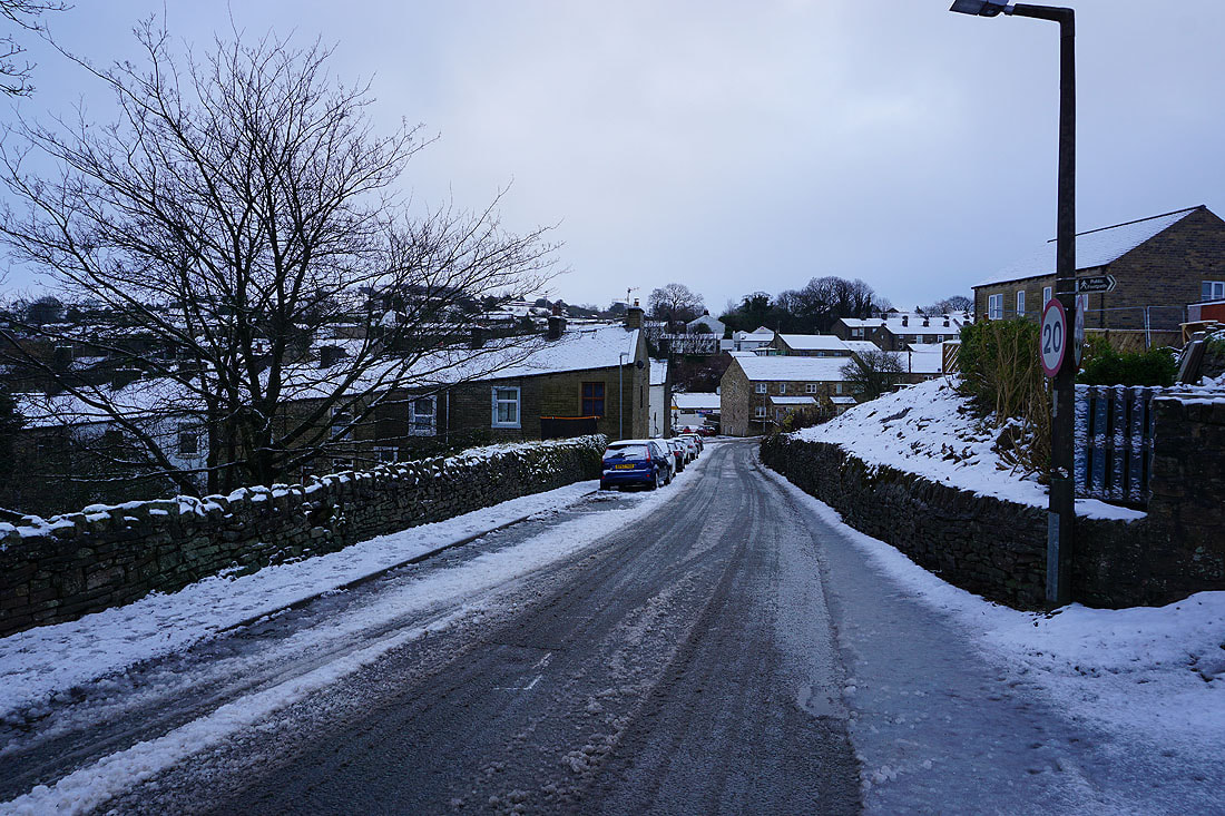
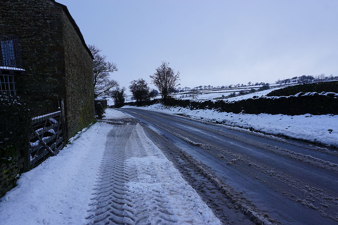
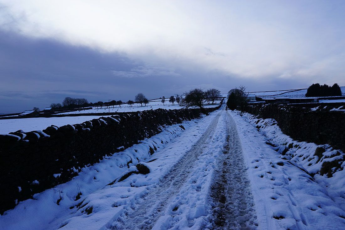
Snowy roofs and slushy roads in Foulridge this morning
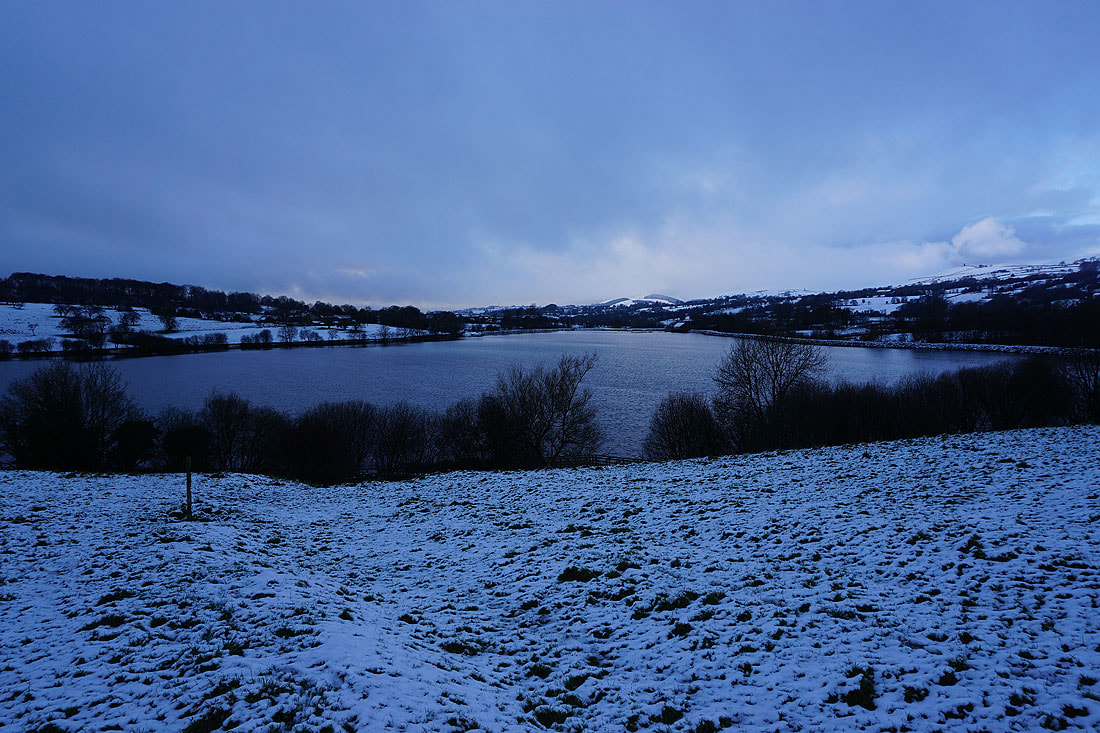
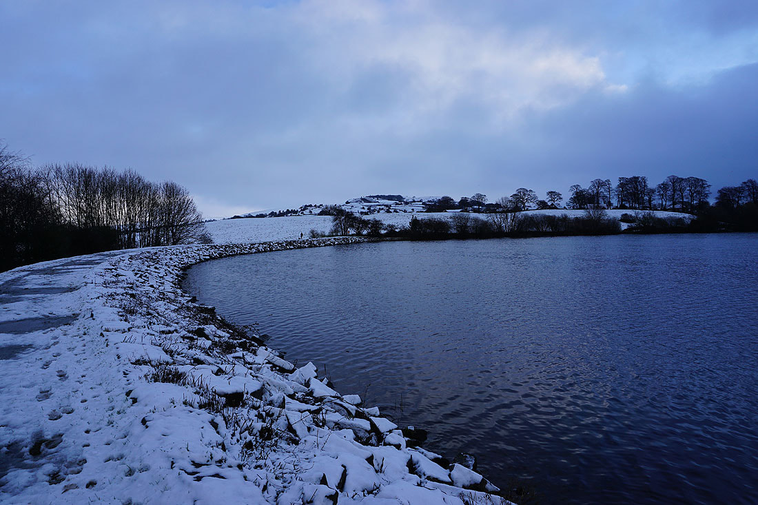
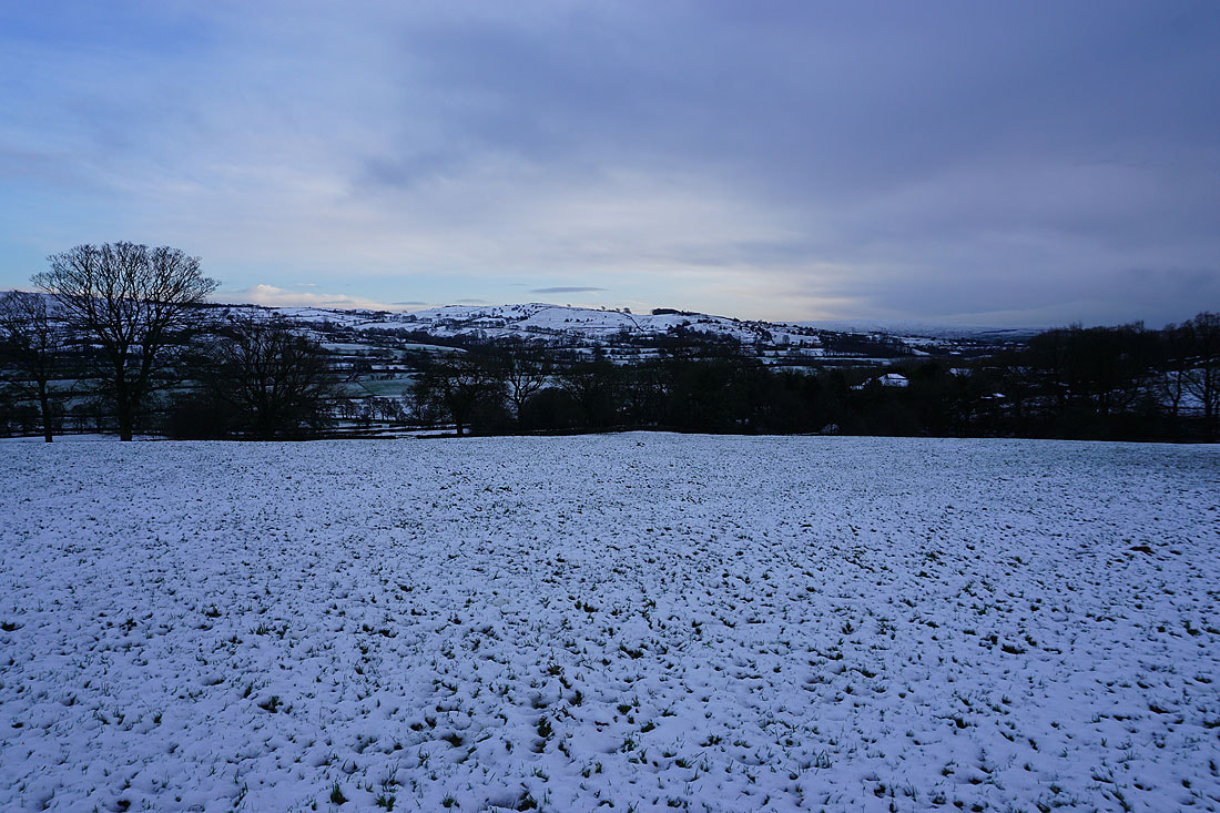
A bleak looking Foulridge Lower Reservoir..
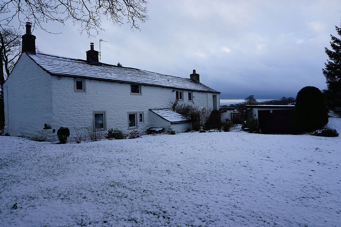
Sand Hall
Looking back down to Foulridge Lower Reservoir as I follow the footpath up to Whitemoor Riding Centre
On Standing Stone Lane. Fortunately there isn't much traffic.
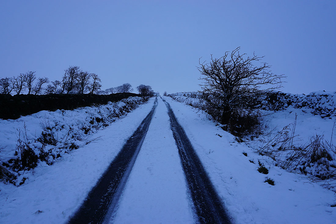
On my way up Gisburn Old Road and I've got my fingers crossed that it's going to brighten up..
Looking back and there are bits of brightness on the moors on the other side of Colne
Blacko Hill is below the cloud but Pendle Hill is well hidden
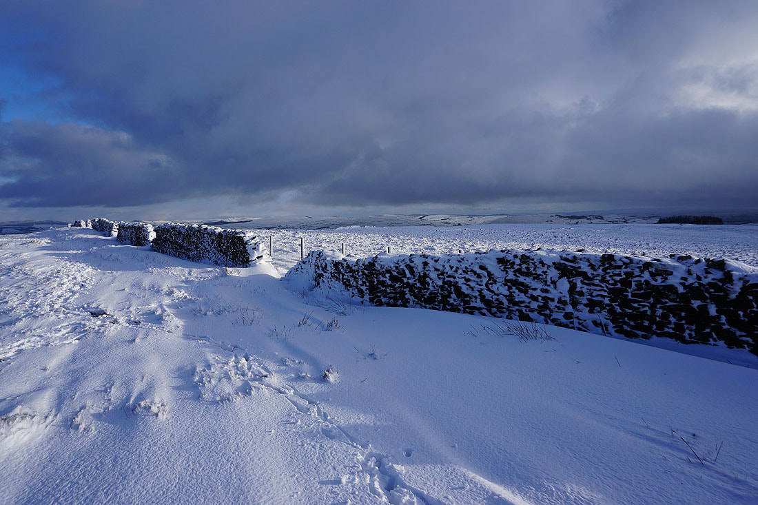
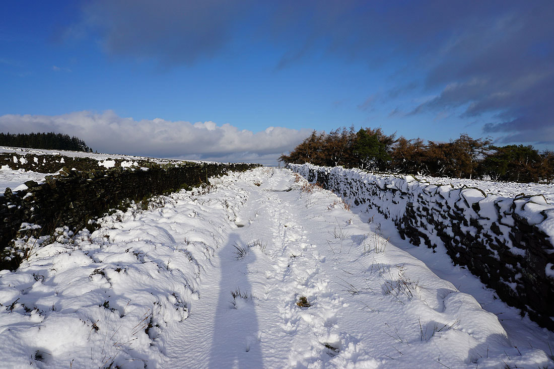
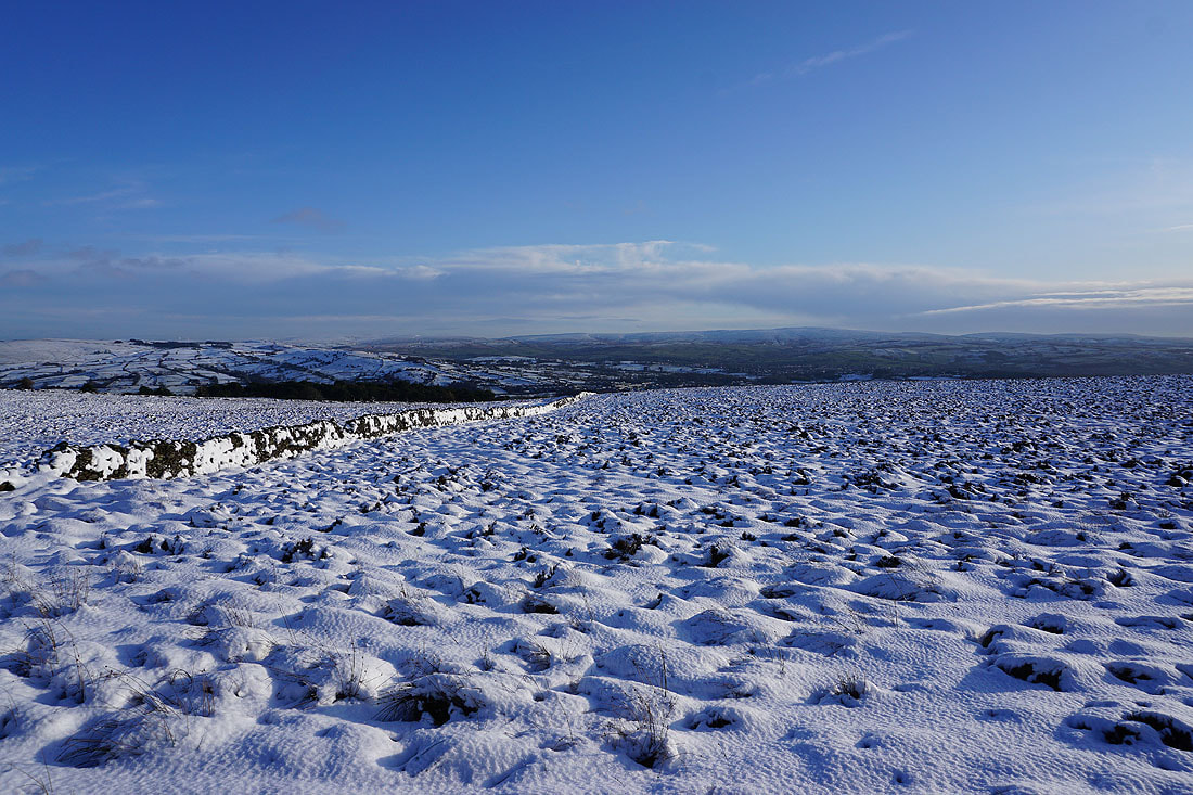
I do like a photo of a snow covered wall, and there are plenty of them up here
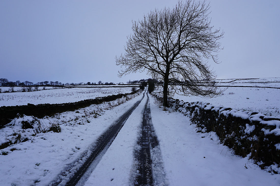
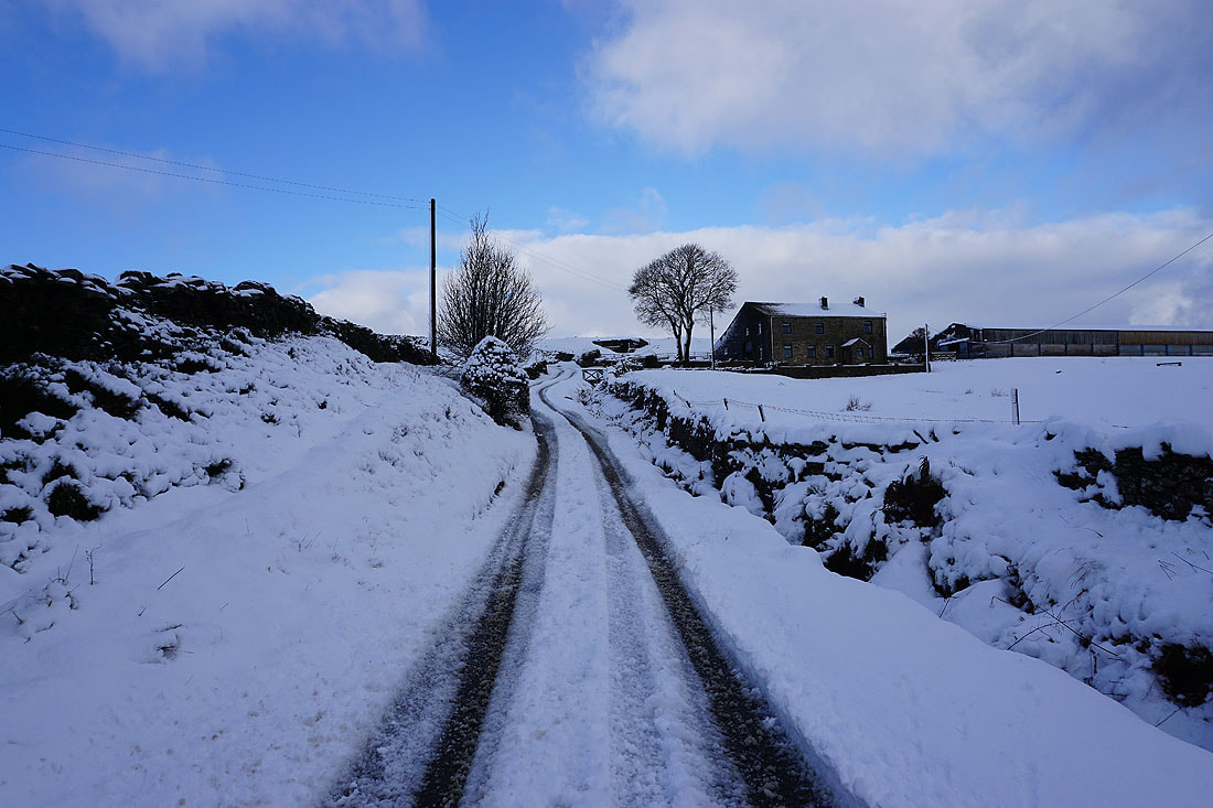
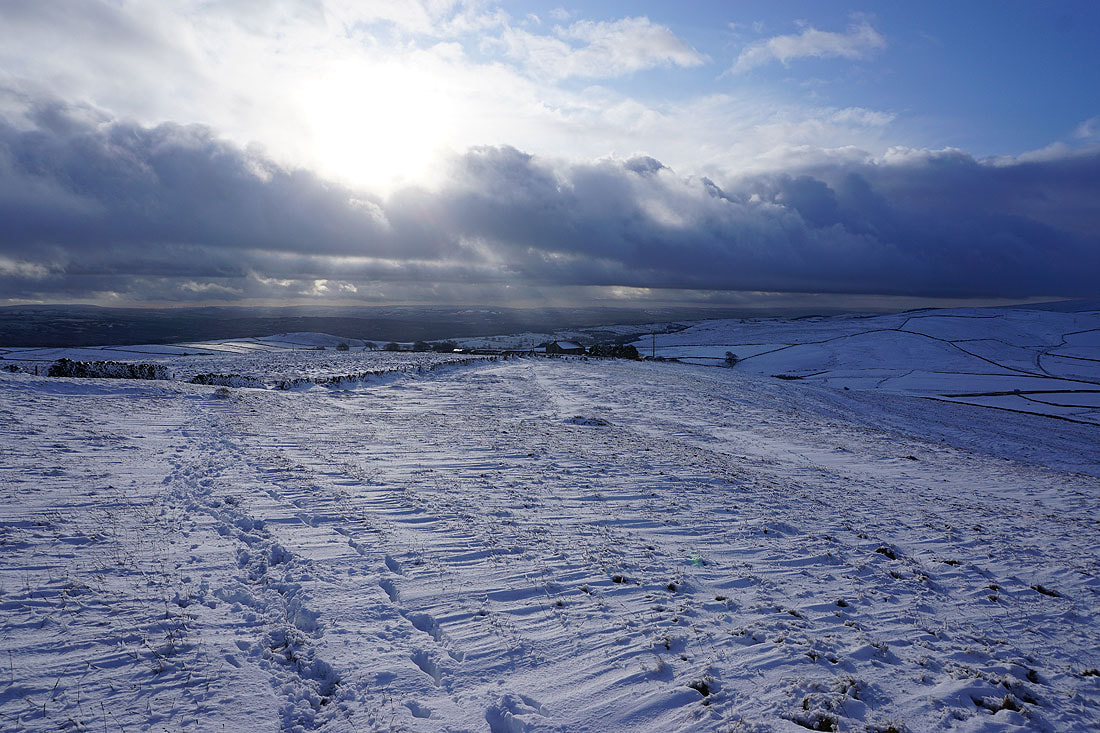
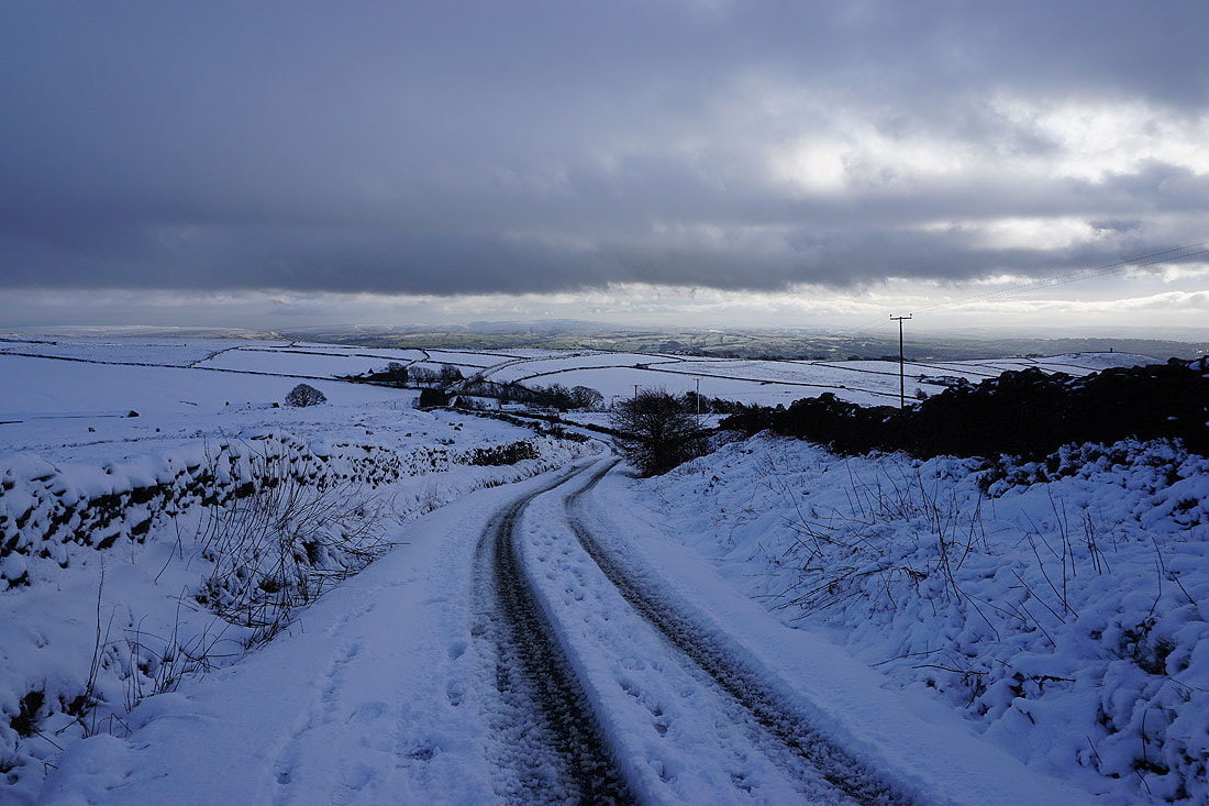
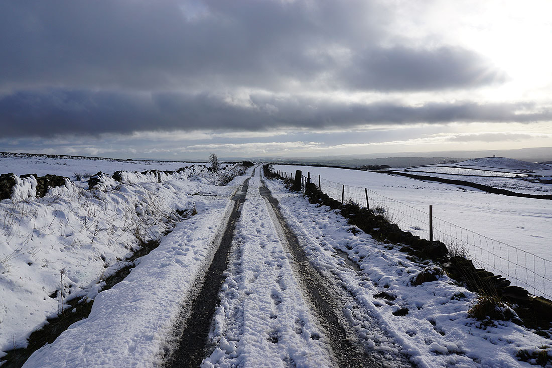
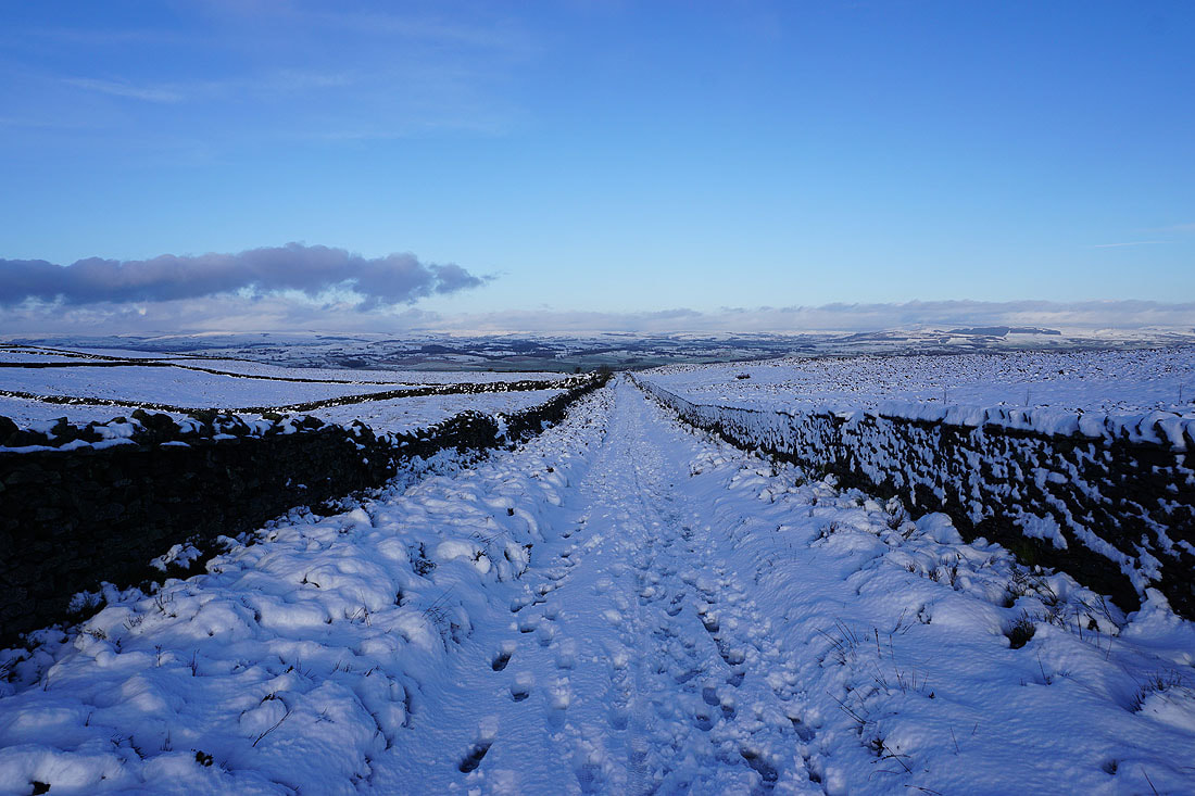
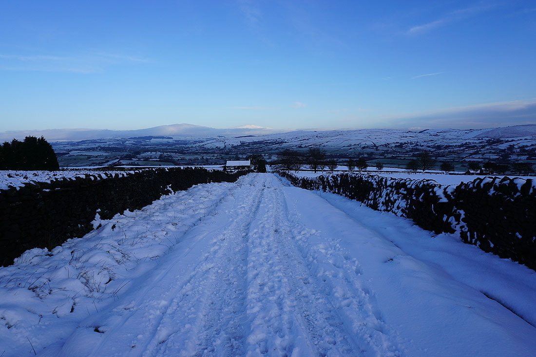
Onwards up Gisburn Old Road
Suddenly the cloud lifts and breaks, and there are blue skies over Blacko Hill and Burn Moor..
The snow is pretty deep as I head up past Sandyford Farm
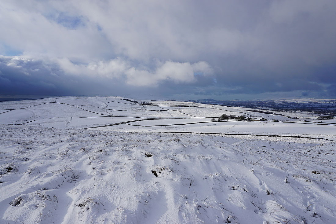
Blacko Hill with Hameldon Hill in the distance. The combination of cloud, sun and snow should make for some good photos.
Looking back down Gisburn Old Road with cloud clearing from the top of Boulsworth Hill in the distance
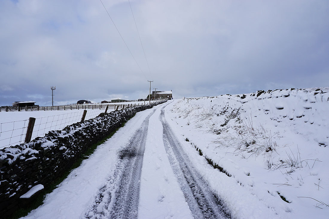
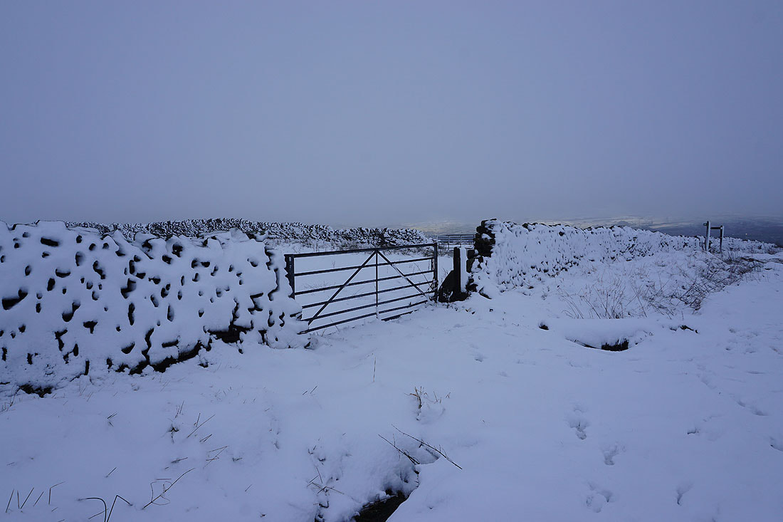
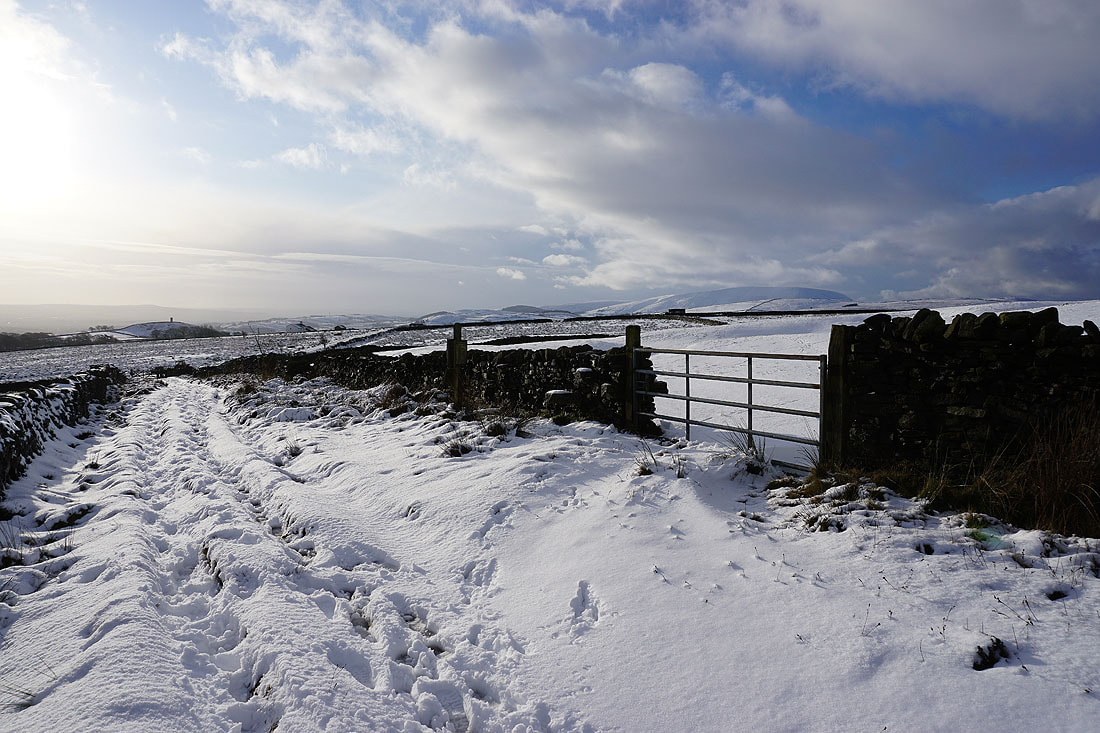
Approaching Weets House Farm at the top of Gisburn Old Road
Looking west to Rimington Moor as I leave the Pennine Bridleway to head to the top of Weets Hill
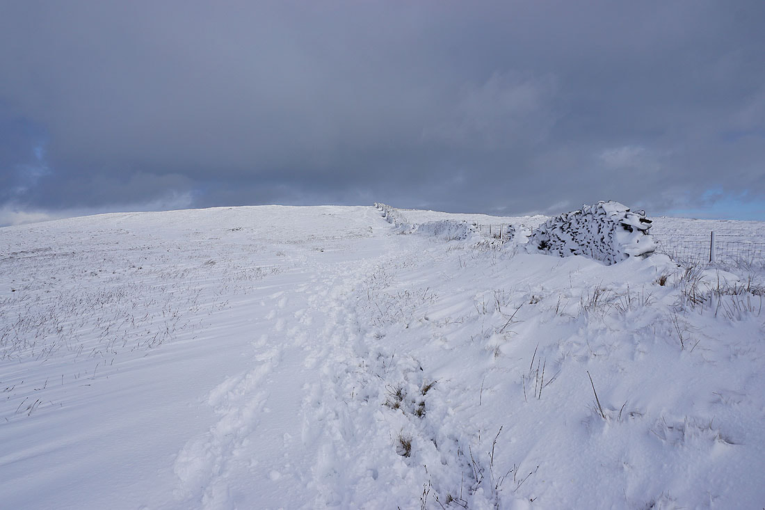
The snow is soft, and deep in places. I'll have to watch my step.
Blacko Hill and Weets House Farm
Pendle Hill emerges from the cloud behind Rimington Moor
Bright sunlit snow and dark clouds
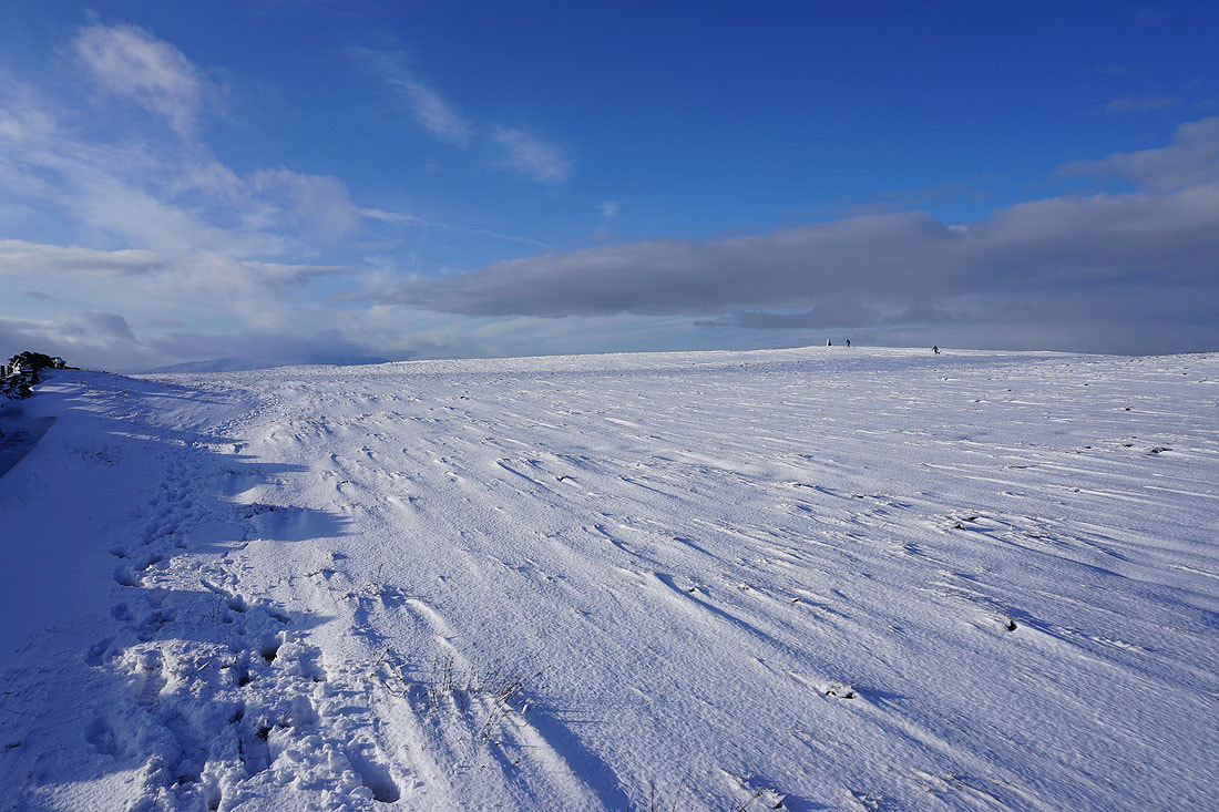
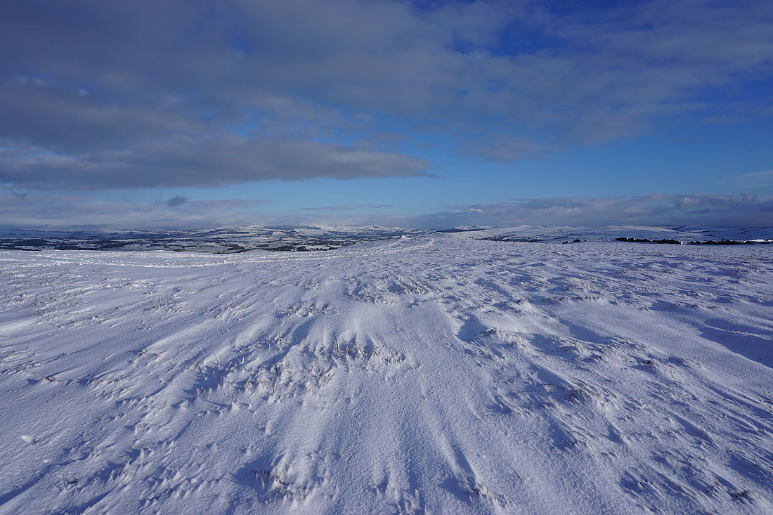
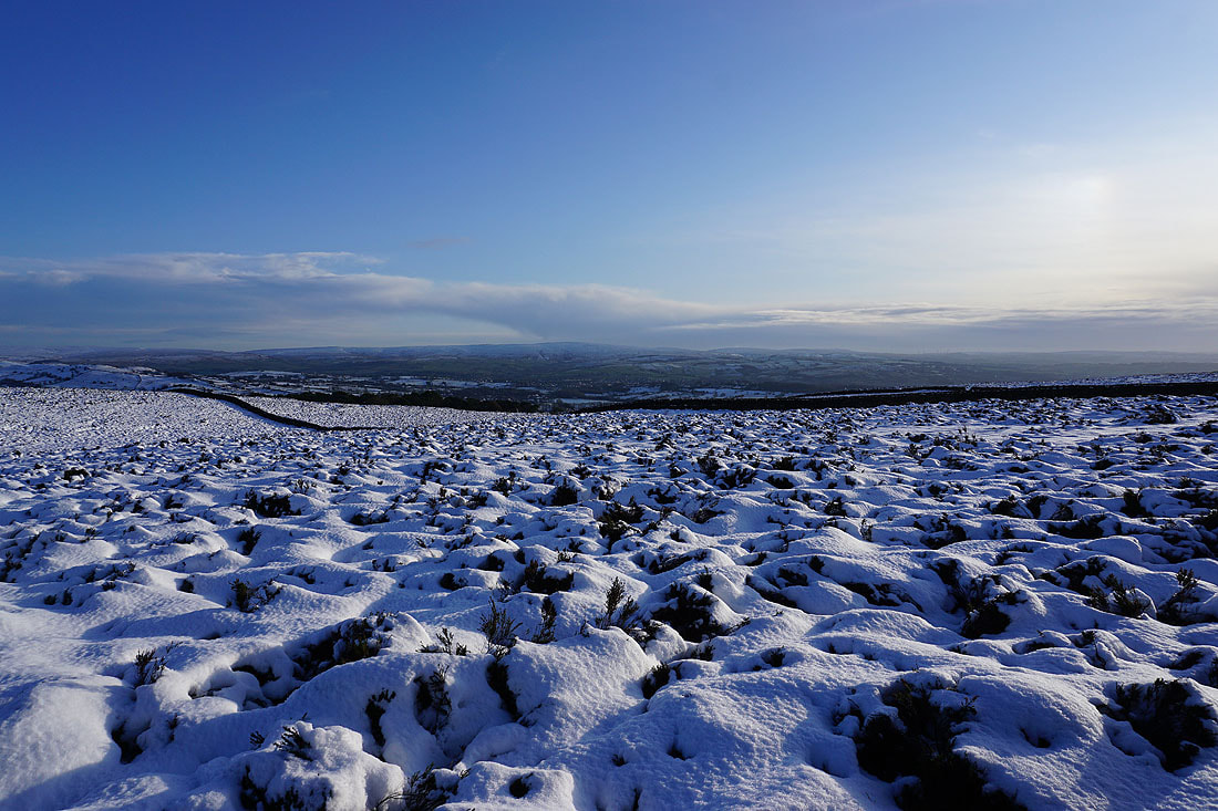
Wind scoured snow on Weets Hill
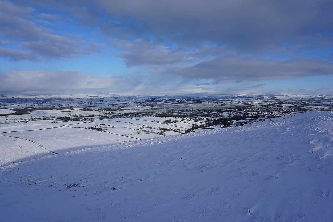
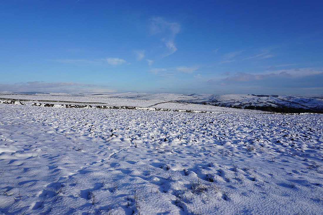
Looking east to Barden Moor, Pinhaw Beacon and Bleara Moor
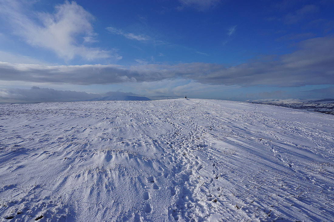
Heading for the trig point on Weets Hill
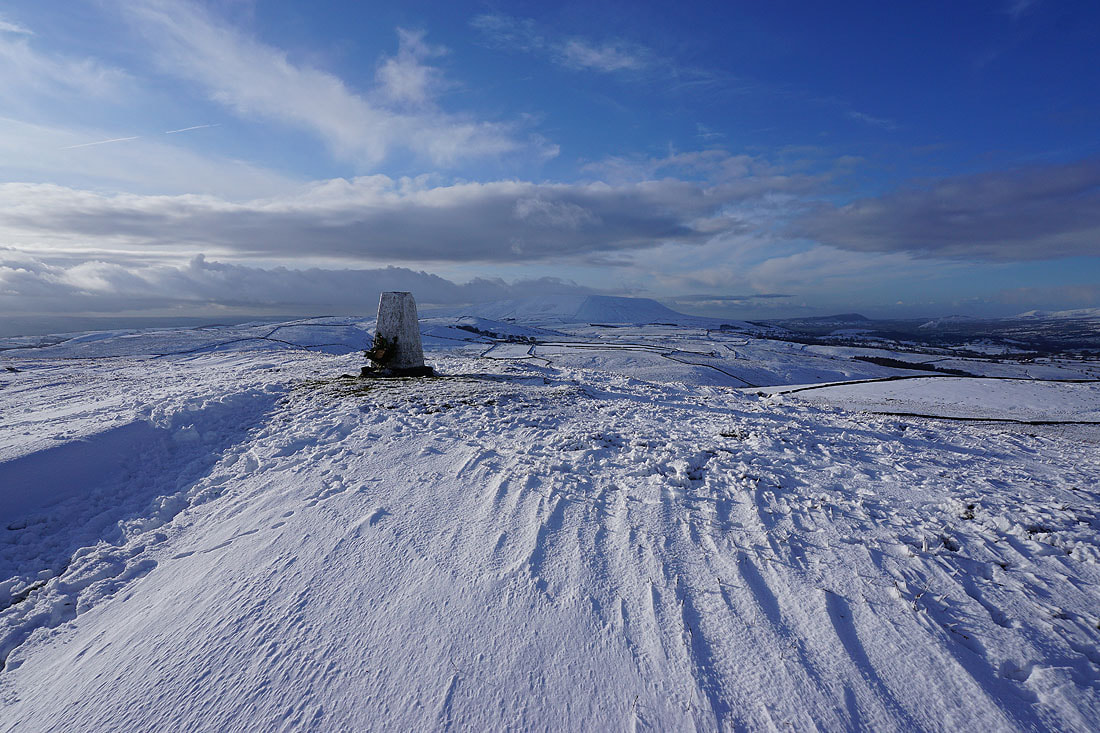
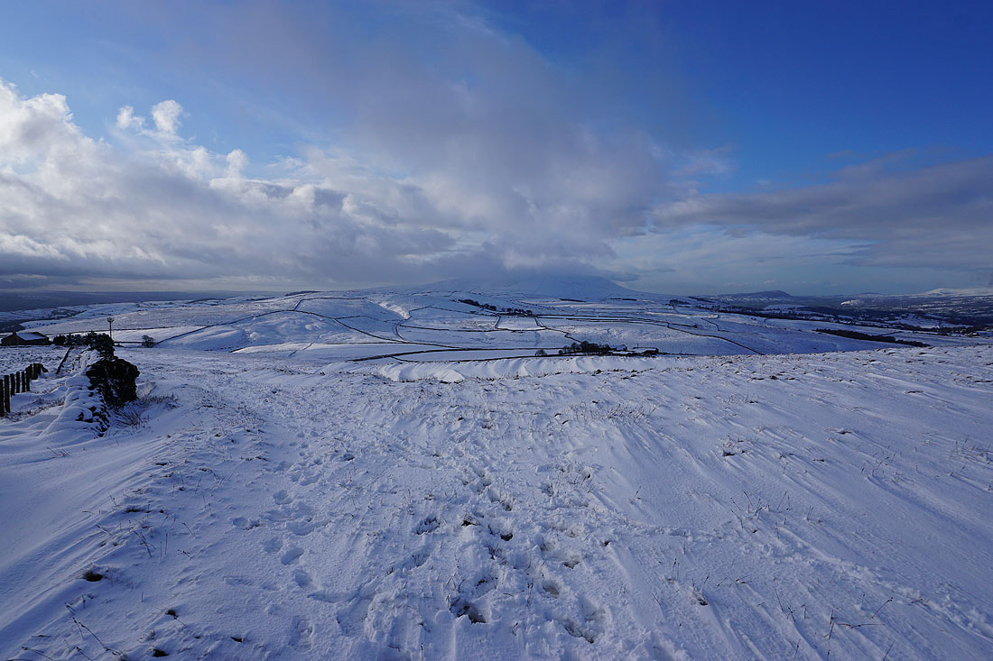
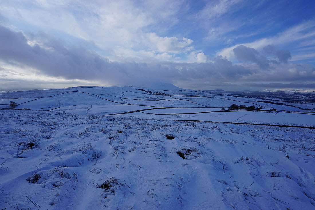
Pendle Hill from Weets Hill
Barden Moor, Skipton Moor, Pinhaw Beacon and Bleara Moor to the east
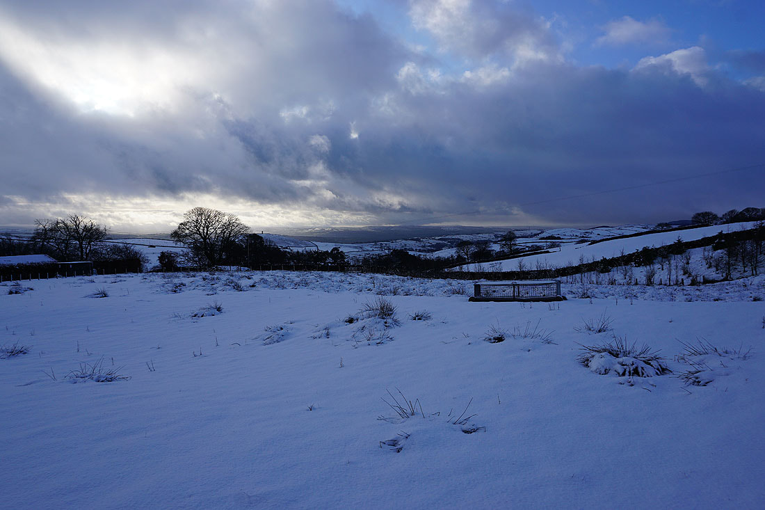
The view from the northern edge of the hill starts with Rimington Moor and Pendle Hill to the west
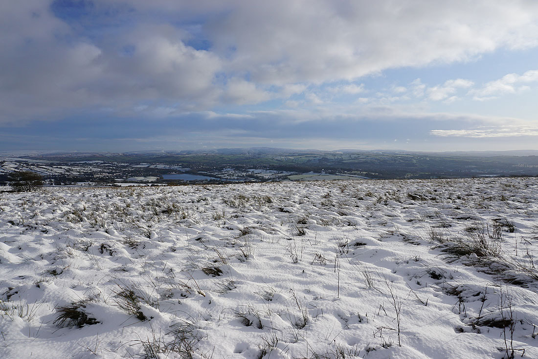
Then there's the Forest of Bowland and the Yorkshire Dales from northwest round to northeast, though unfortunately quite a bit is obscured by low cloud...
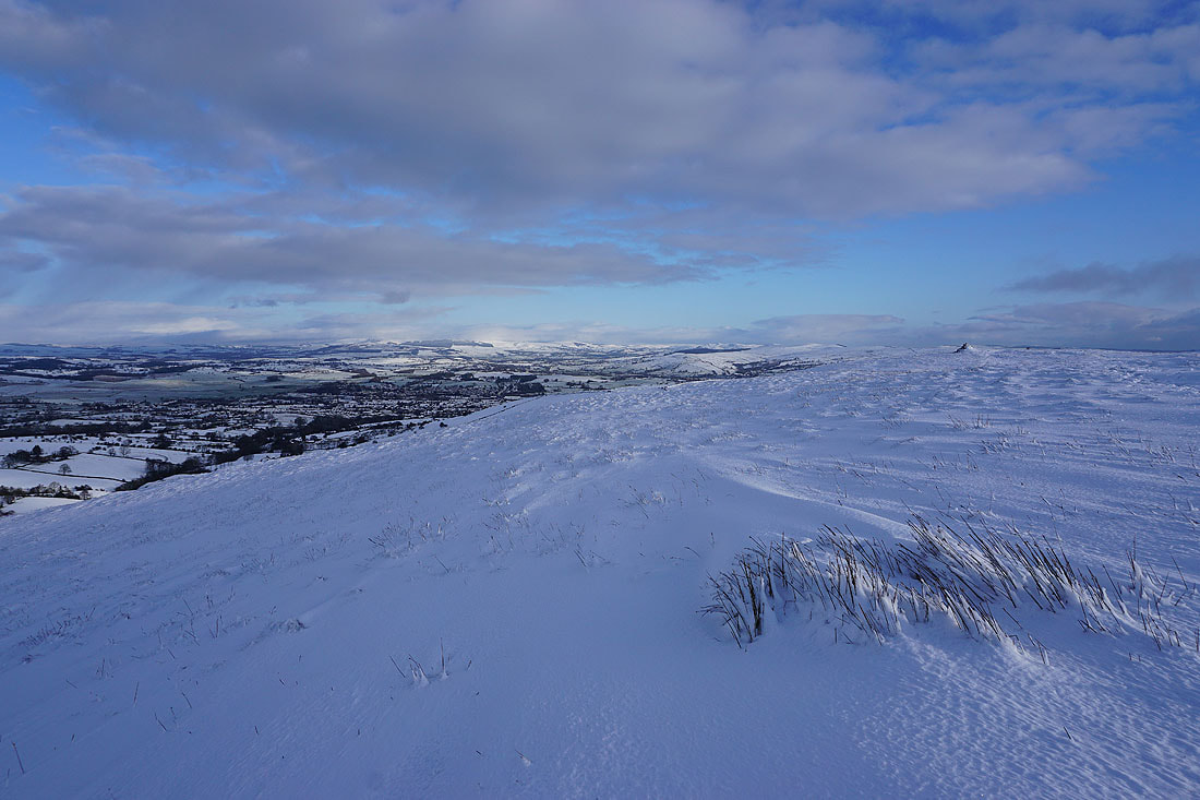
The low cloud has cleared a bit more so that I can make out more of the Forest of Bowland on the other side of the Ribble Valley
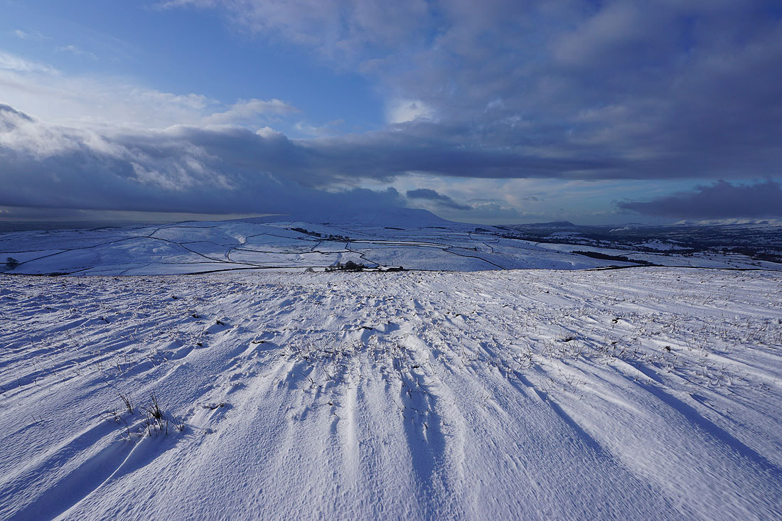
Pendle Hill and wind scoured snow
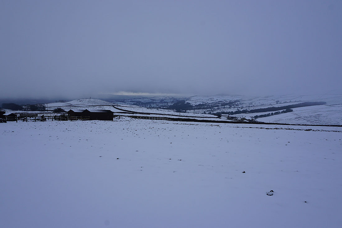
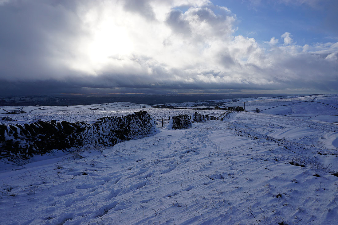
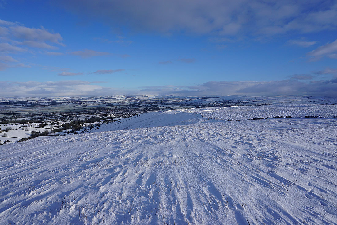
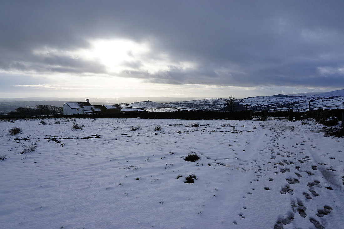
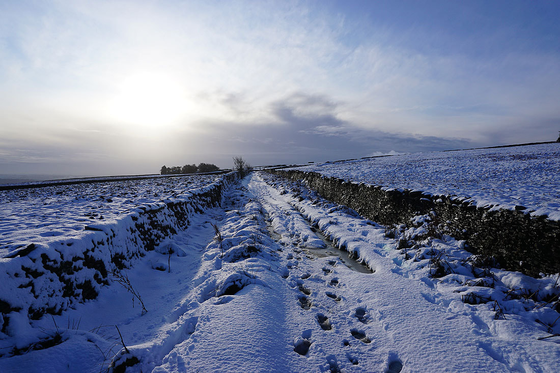
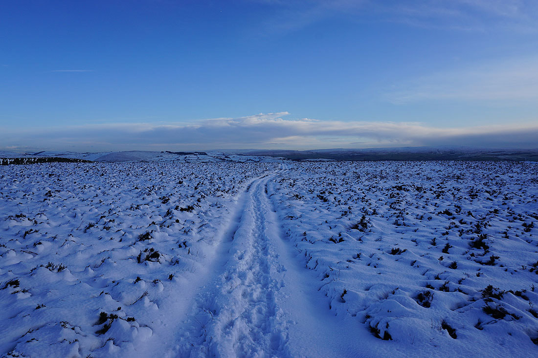
Heading back to Weets House Farm
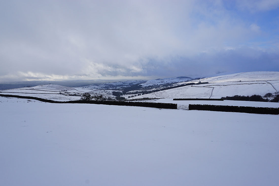
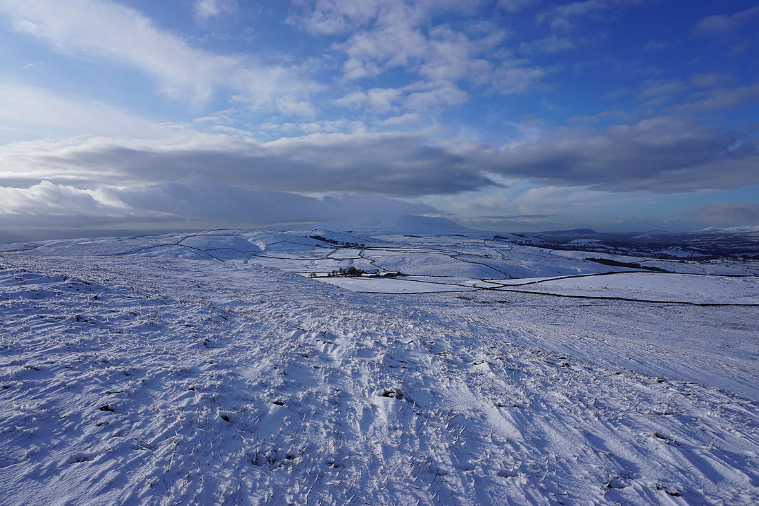
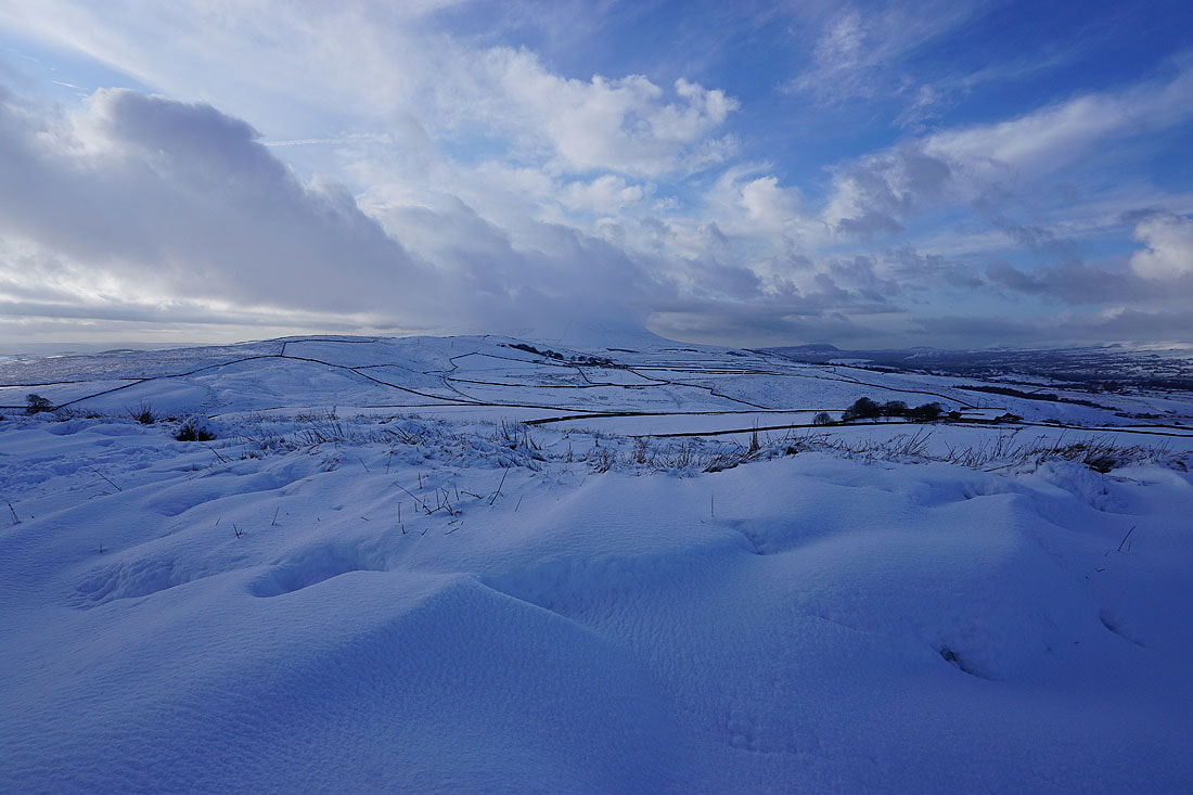
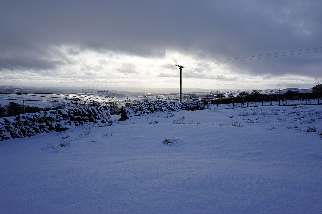
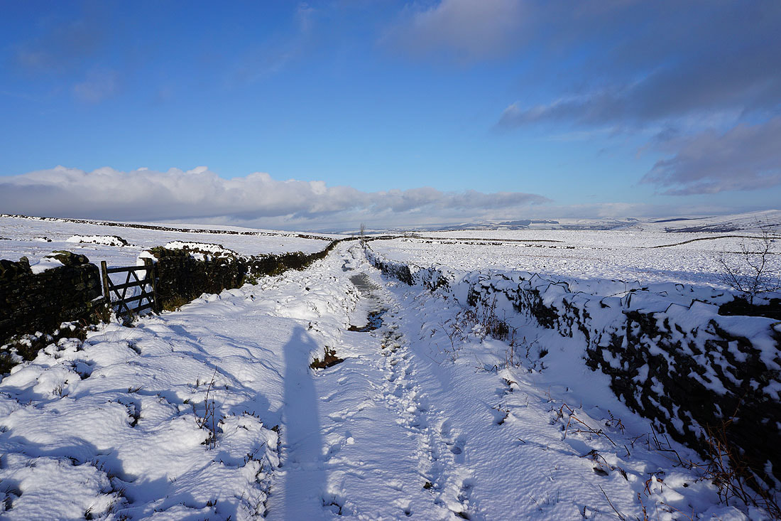
Deep drifts next to the Pennine Bridleway by Weets House Farm provide another excuse for taking photos of Pendle Hill, which seems reluctant to lose its cap of cloud..
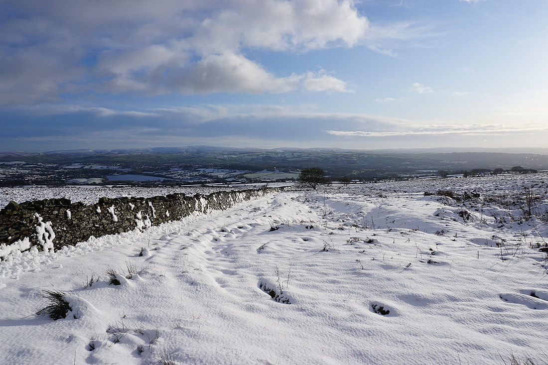
Blacko Hill over the wall to my right as I head back down Gisburn Old Road
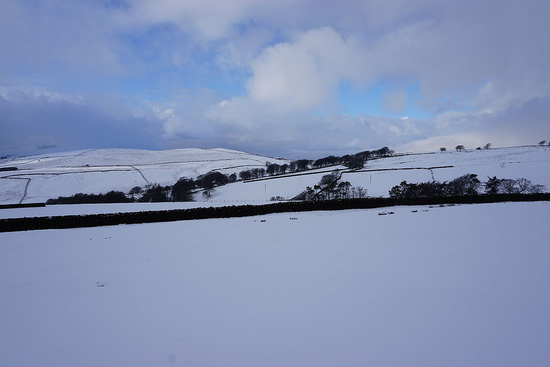
A snow covered Boulsworth Hill in the distance
Blacko Hill and a snow covered wall
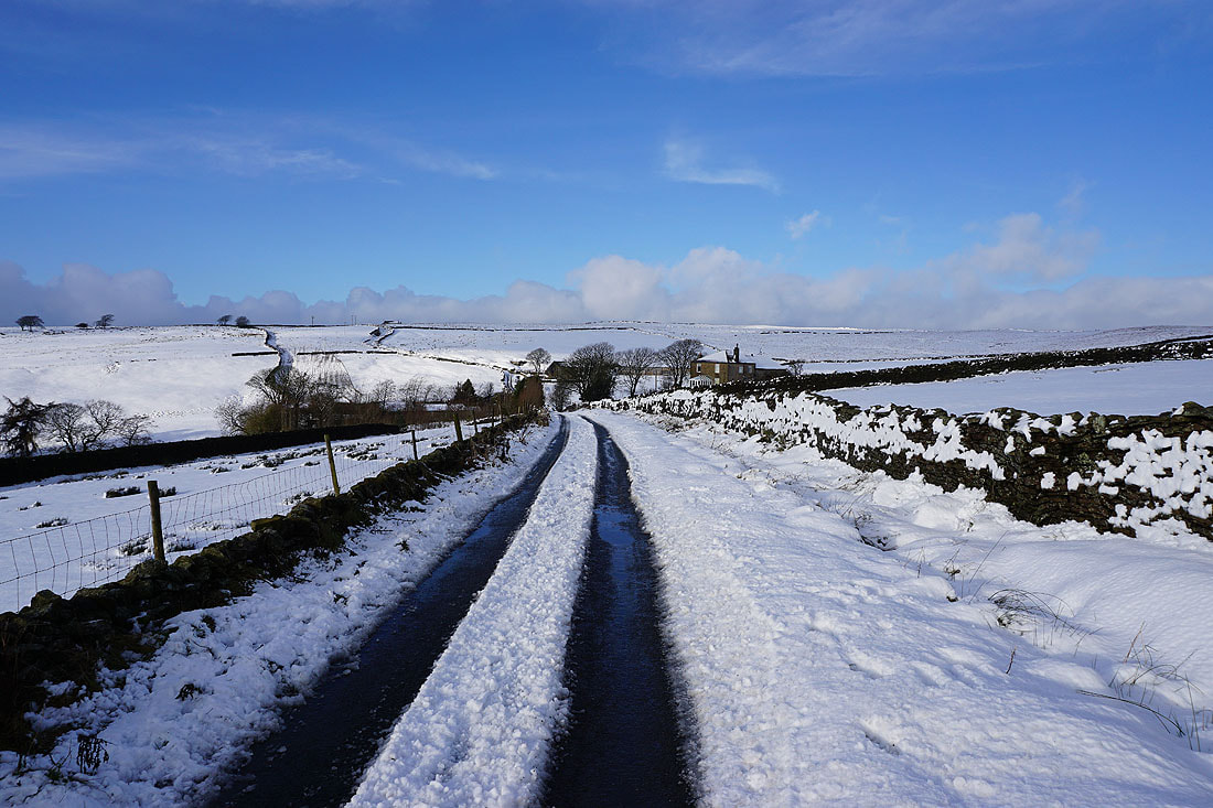
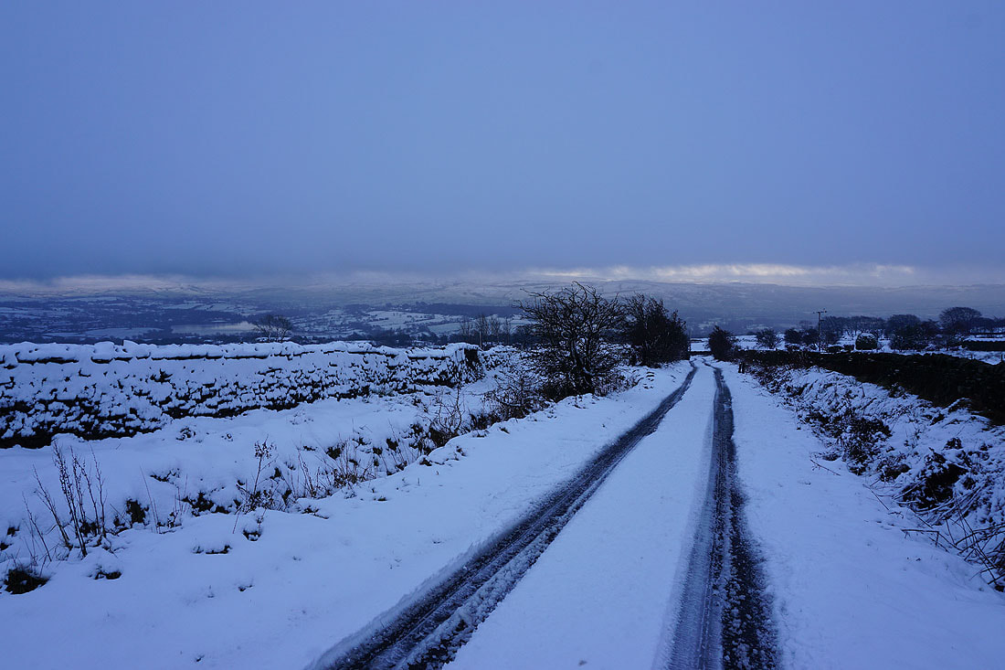
Looking back up Gisburn Old Road to Sandyford Farm and Star Hall
Couldn't resist taking another shot of Blacko Hill and the valley of Pendle Water looking across this snow covered field
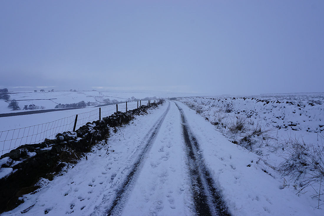
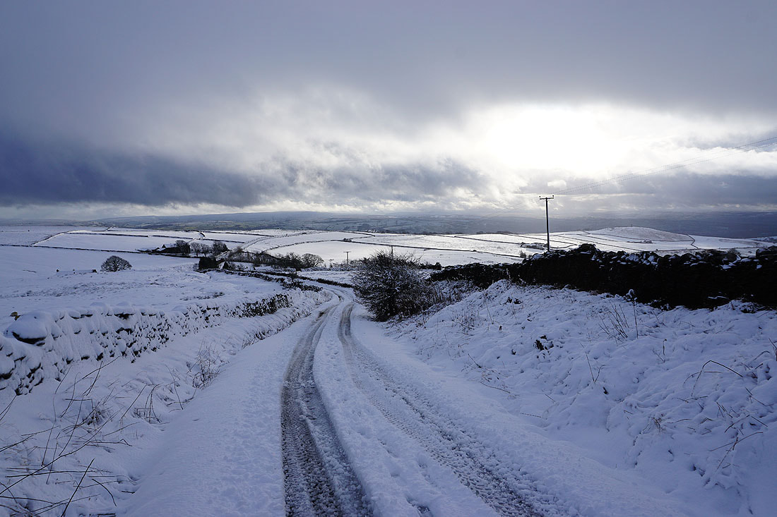
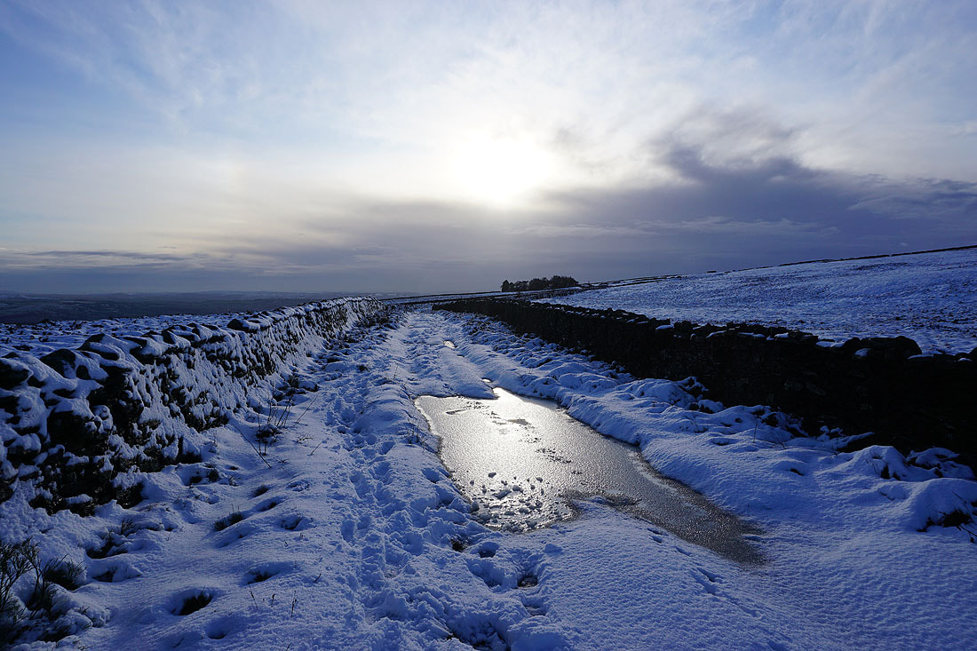
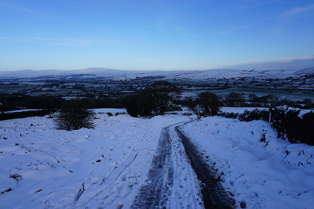
Heading down Gisburn Old Road. There's been a bit of a thaw during the day and there's a lot of slush and soft snow around.
Peel's House and Blacko Hill from the start of Lister Well Road
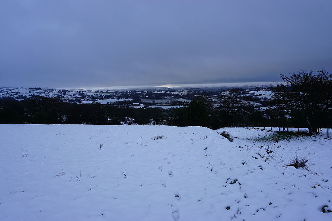
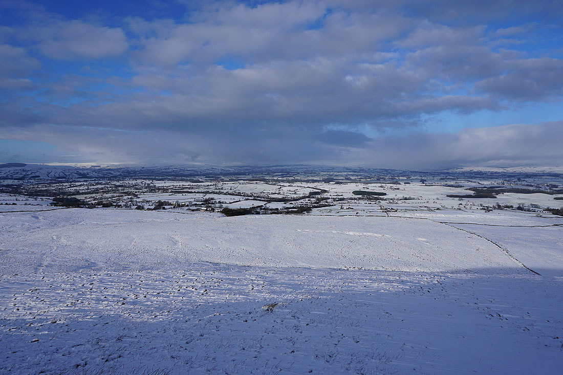
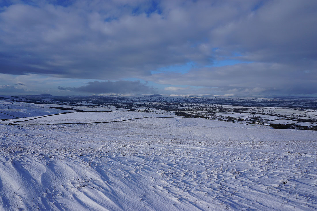
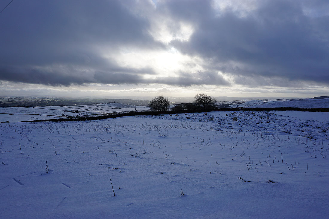
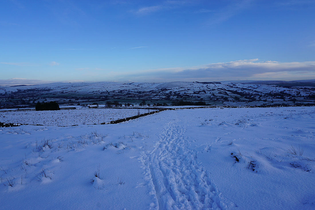
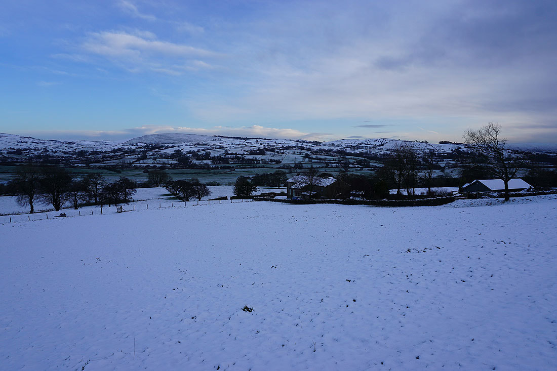
Looking southeast to Foulridge Lower Reservoir, Boulsworth Hill and the South Pennines..
Blacko Hill and a cloud free Pendle Hill from Lister Well Road
Heading along Lister Well Road. It's very wet and slushy underfoot..
Pinhaw Beacon, Bleara Moor and Kelbrook Moor to the east
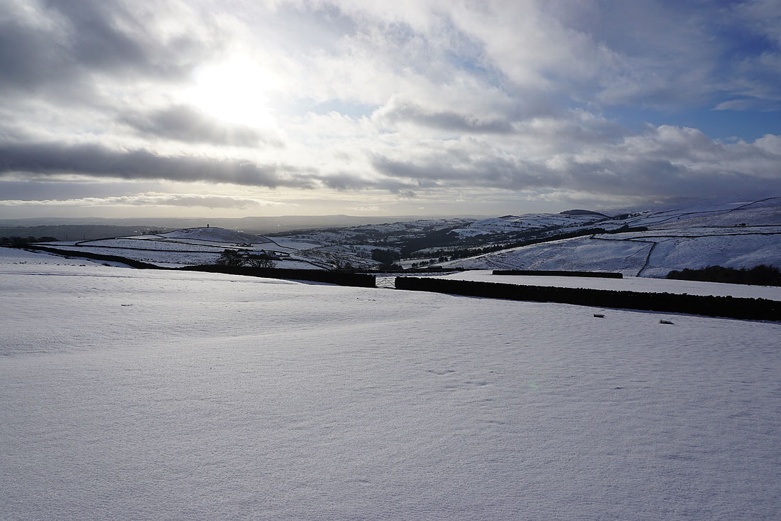
Great Edge, Noyna Hill and Boulsworth Hill to the southeast..
Looking back along Lister Well Road. There are some large and deep slush covered puddles around..
Lister Well Road continues northeast towards Barnoldswick. This is where I leave it though and take the footpath down to High Lane.
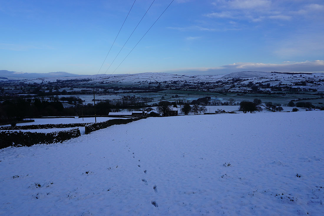
Following the footpath across the moor with views of Bleara Moor and Kelbrook Moor to the east..
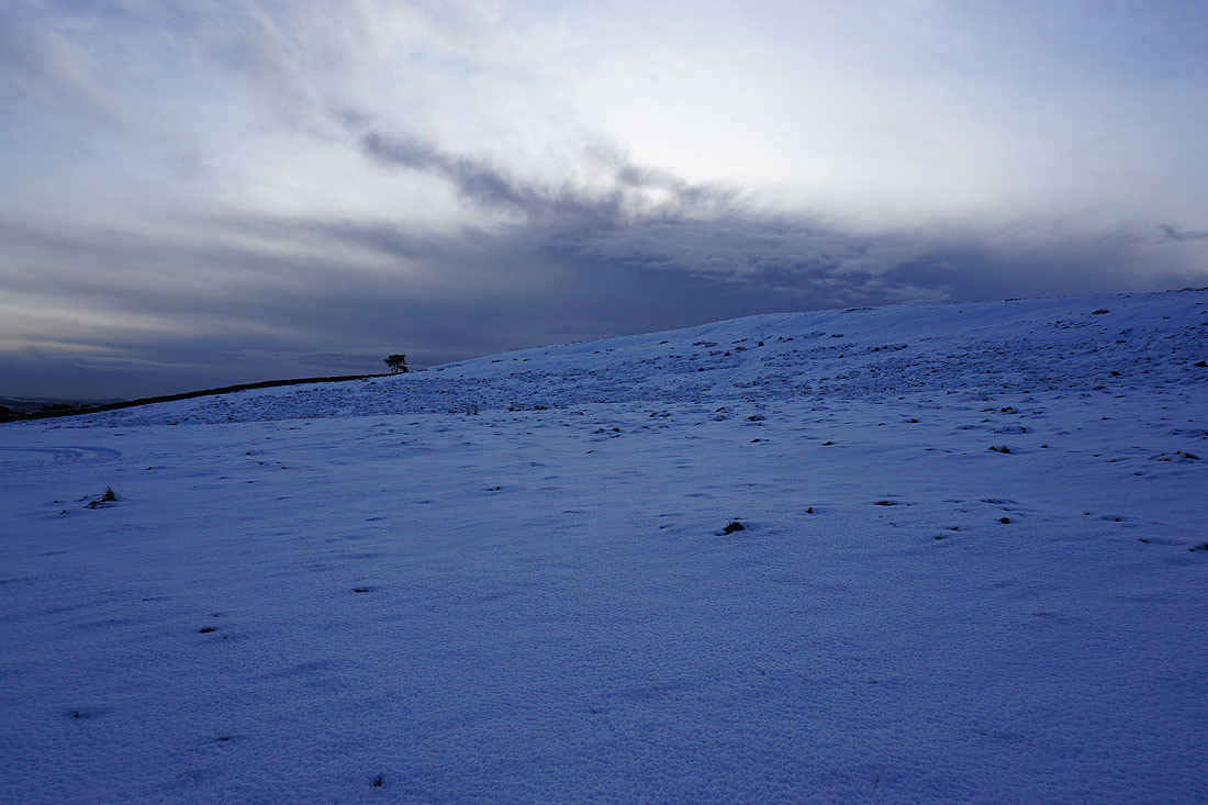
There's an eerie light with the thickening cloud casting a deep shadow
The footpath becomes a track as it heads down past Copy Nook
Looking back up onto White Moor
Past Copy Nook and on the track down to High Lane. On the left Barden Moor has had its top covered in low cloud.
Bleara Moor and Kelbrook Moor as I head down to Booth House Farm
Kelbrook Moor and Noyna Hill as I follow the footpath south to County Brook..
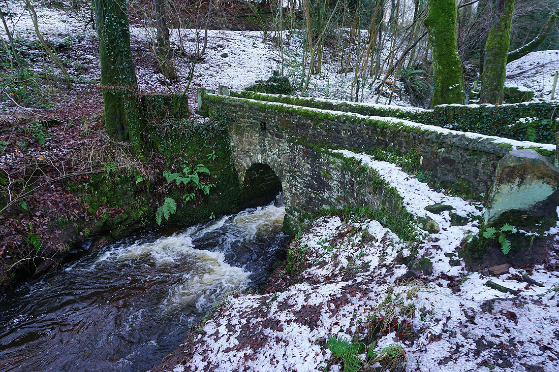
Across the footbridge over County Brook
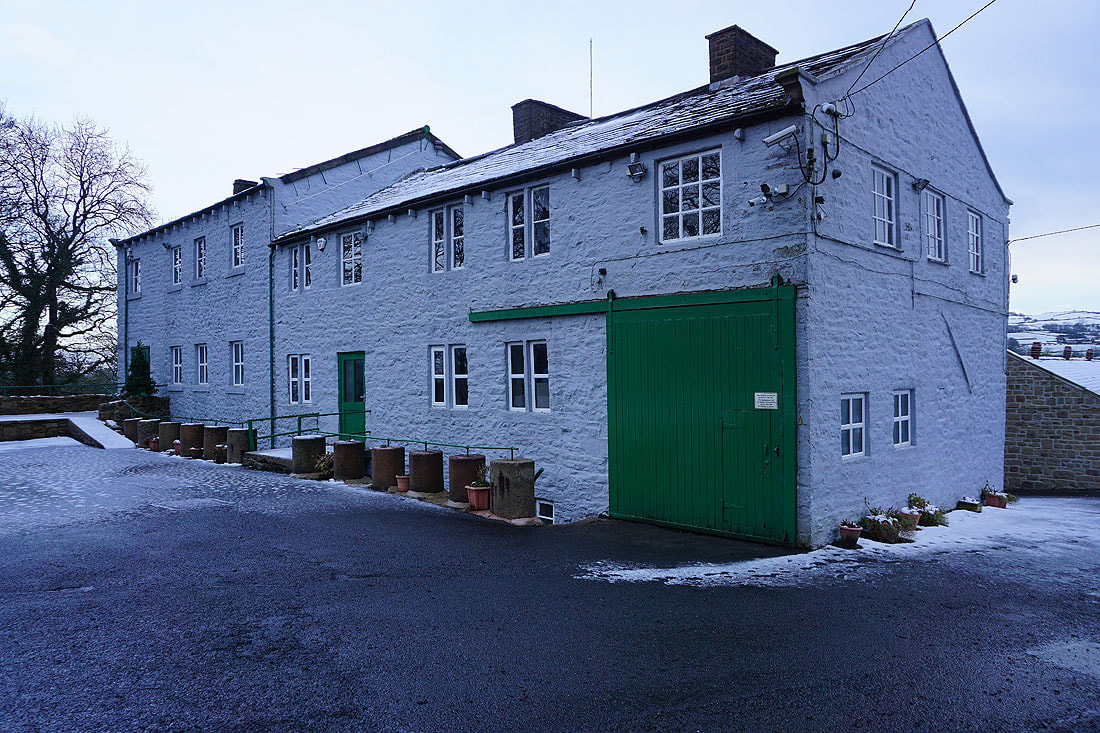
County Brook Mill
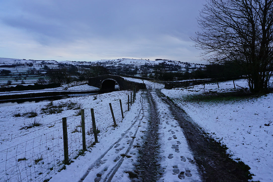
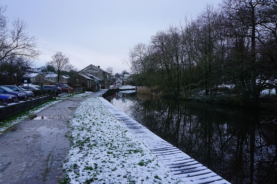
Across Mill Hill Bridge over the Leeds and Liverpool Canal
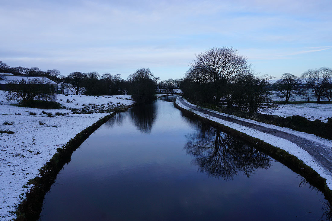
The canal from Mill Hill Bridge
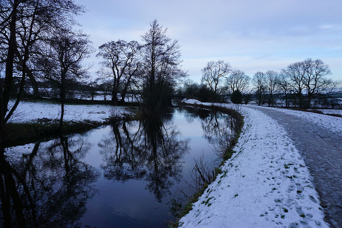
A couple of photos of the canal as I head back to Foulridge..