15th December 2023 - Simon's Seat and Pock Stones Moor
Walk Details
Distance walked: 12.5 miles
Total ascent: 2005 ft
OS map used: OL2 - Yorkshire Dales, Southern & Western areas, and 298 - Nidderdale
Time taken: 6 hrs
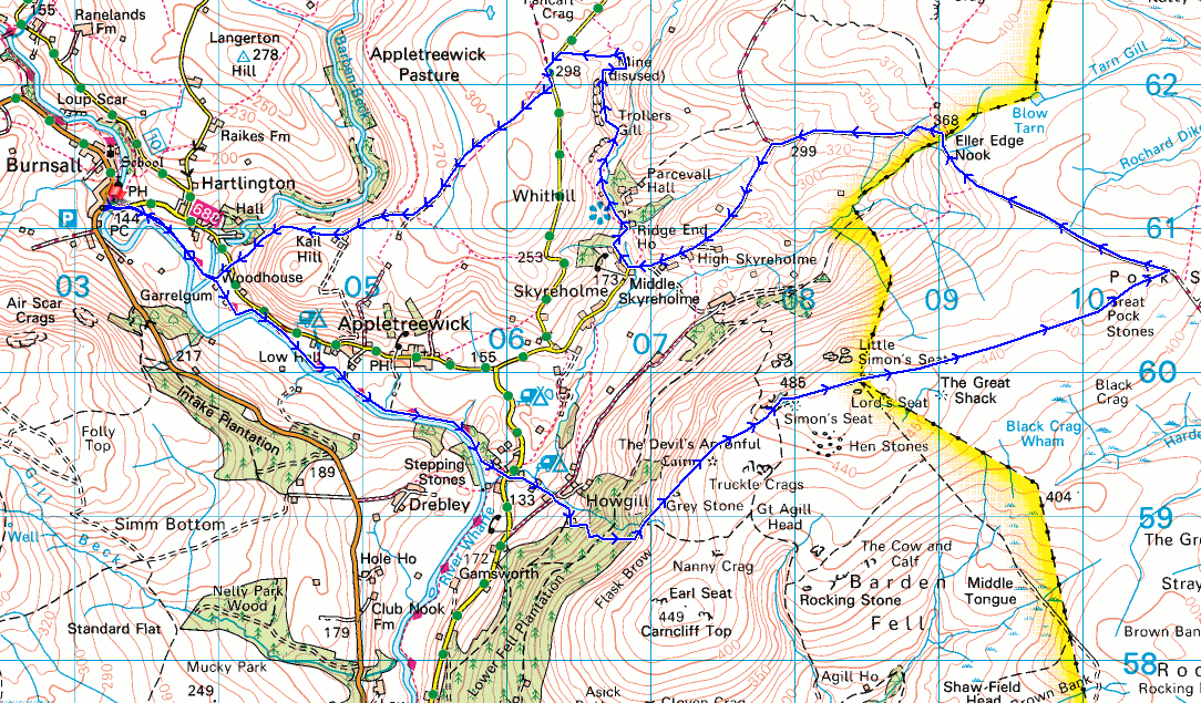
Route description: Burnsall-Dales Way-Howgill-Simon's Seat-Lord's Seat-Great Pock Stones-Forest Road-Skyreholme Bank-High Skyreholme-Middle Skyreholme-Trollers Gill-New Road-Appletreewick Pasture-Kail Lane-Woodhouse Lane-Woodhouse Manor-Dales Way-Burnsall
I missed out on having a walk last weekend, the weather was just too bad, and since today is the Friday that I'm not at work and this weekend isn't looking good, I've decided to head to Burnsall in Wharfedale and have a walk across the moors on the eastern side of the dale, taking in Simon's Seat, Pock Stones Moor, and Trollers Gill. All of it is familiar territory, although I don't think that I've done this exact route before. The forecast was for some reasonable winter weather, cloudy and mild with the cloud covering the tops of the high fells. After setting off from Burnsall with a little bit of blue sky and weak sunshine, this soon disappeared and by the time I reached Howgill it was pretty grey and mostly overcast. It stayed this way until I was making my way back to Burnsall from Trollers Gill. Some breaks in the cloud allowed for a little bit of weak sunshine, and for some colour in the sky before the sun set. Since I was passing I had to visit The Brownie Barn on Howgill Lane.
After parking my car in Burnsall I crossed the bridge over the River Wharfe, took the trail of the Dales Way and followed it south to Stangs Lane in Howgill. Here I left the trail and crossed Stangs Lane to take the footpath up a track to Howgill Lane, where I stopped for a break at The Brownie Barn, a short distance to the right. After this break I returned to where I joined Howgill Lane and turned right to take a track up to access land, then the footpath up to the trig point on the summit of Simon's Seat. After a stop for lunch and to take in the view I followed the flagged path across the moor to Lord's Seat, then the wall east across Pock Stones Moor to Great Pock Stones and down to the track of Forest Road, which took me west back towards Skyreholme. When the track of Forest Road met that of Black Hill Road and Skyreholme Bank I took Skyreholme Bank and followed it downhill to High then to Middle Skyreholme, where I turned right and walked along the lane to Parcevall Hall. Just before Parcevall Hall I took a footpath on the left by Skyreholme Beck to visit Trollers Gill, then followed it up the dry valley next to it to reach New Road. After a short walk south along New Road I reached a bridleway on the right, which I took down to Kail Gate Laithe, then the track of Kail Lane down to the road to Appletreewick. I took the bridleway along the track opposite to reach Woodhouse Manor, and from there I took the Dales Way back to Burnsall.
Total ascent: 2005 ft
OS map used: OL2 - Yorkshire Dales, Southern & Western areas, and 298 - Nidderdale
Time taken: 6 hrs
Route description: Burnsall-Dales Way-Howgill-Simon's Seat-Lord's Seat-Great Pock Stones-Forest Road-Skyreholme Bank-High Skyreholme-Middle Skyreholme-Trollers Gill-New Road-Appletreewick Pasture-Kail Lane-Woodhouse Lane-Woodhouse Manor-Dales Way-Burnsall
I missed out on having a walk last weekend, the weather was just too bad, and since today is the Friday that I'm not at work and this weekend isn't looking good, I've decided to head to Burnsall in Wharfedale and have a walk across the moors on the eastern side of the dale, taking in Simon's Seat, Pock Stones Moor, and Trollers Gill. All of it is familiar territory, although I don't think that I've done this exact route before. The forecast was for some reasonable winter weather, cloudy and mild with the cloud covering the tops of the high fells. After setting off from Burnsall with a little bit of blue sky and weak sunshine, this soon disappeared and by the time I reached Howgill it was pretty grey and mostly overcast. It stayed this way until I was making my way back to Burnsall from Trollers Gill. Some breaks in the cloud allowed for a little bit of weak sunshine, and for some colour in the sky before the sun set. Since I was passing I had to visit The Brownie Barn on Howgill Lane.
After parking my car in Burnsall I crossed the bridge over the River Wharfe, took the trail of the Dales Way and followed it south to Stangs Lane in Howgill. Here I left the trail and crossed Stangs Lane to take the footpath up a track to Howgill Lane, where I stopped for a break at The Brownie Barn, a short distance to the right. After this break I returned to where I joined Howgill Lane and turned right to take a track up to access land, then the footpath up to the trig point on the summit of Simon's Seat. After a stop for lunch and to take in the view I followed the flagged path across the moor to Lord's Seat, then the wall east across Pock Stones Moor to Great Pock Stones and down to the track of Forest Road, which took me west back towards Skyreholme. When the track of Forest Road met that of Black Hill Road and Skyreholme Bank I took Skyreholme Bank and followed it downhill to High then to Middle Skyreholme, where I turned right and walked along the lane to Parcevall Hall. Just before Parcevall Hall I took a footpath on the left by Skyreholme Beck to visit Trollers Gill, then followed it up the dry valley next to it to reach New Road. After a short walk south along New Road I reached a bridleway on the right, which I took down to Kail Gate Laithe, then the track of Kail Lane down to the road to Appletreewick. I took the bridleway along the track opposite to reach Woodhouse Manor, and from there I took the Dales Way back to Burnsall.
Route map
© Crown copyright. All rights reserved. License number PU 100034184.
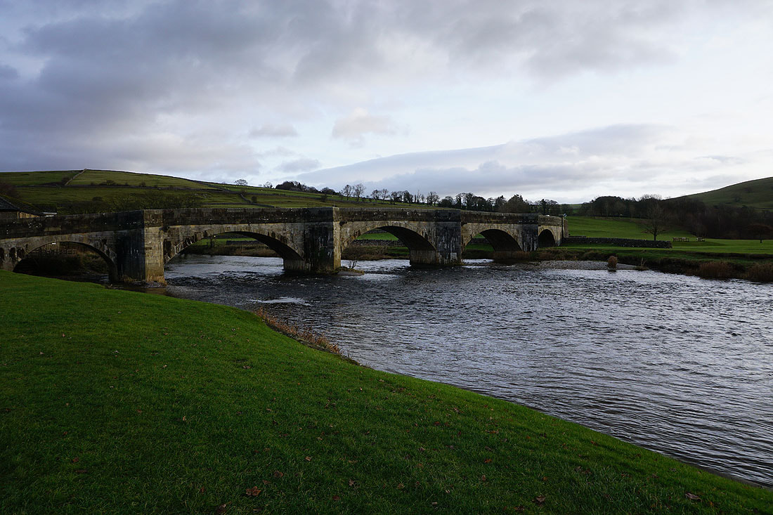
The bridge over the River Wharfe at Burnsall. I'll cross it to get onto the Dales Way.

Following the Dales Way south
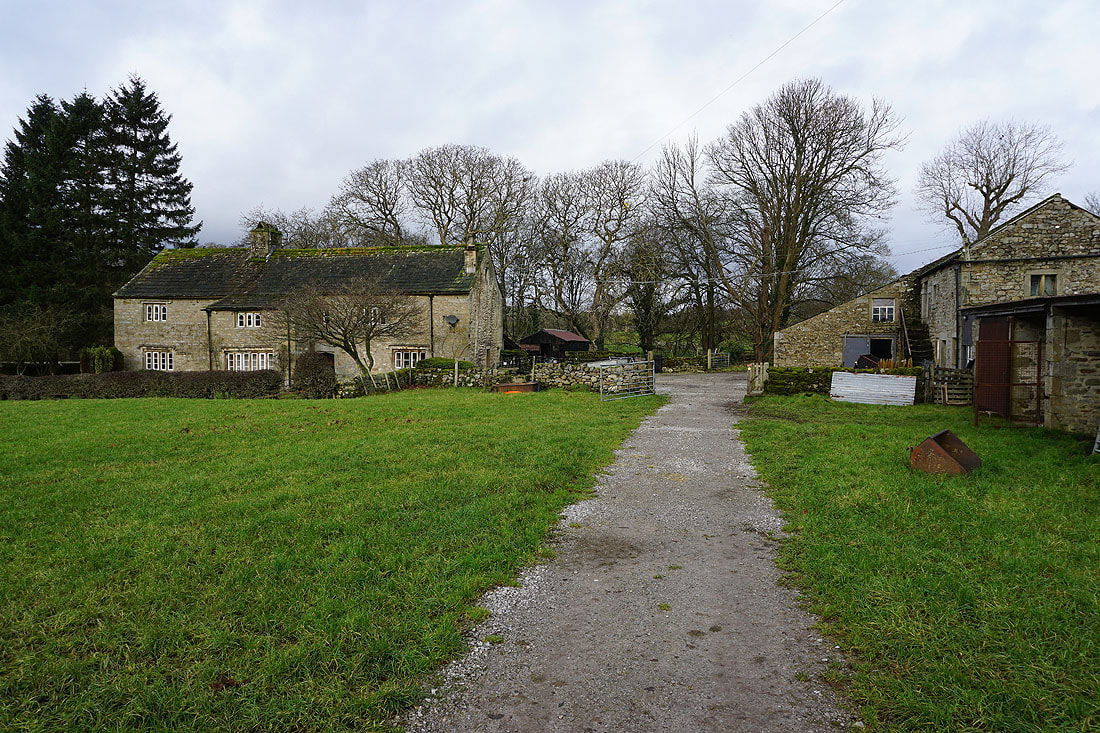
Passing Woodhouse Manor
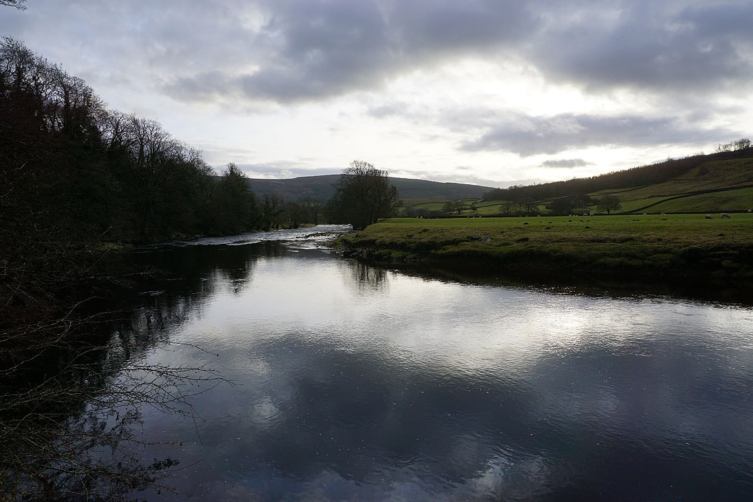
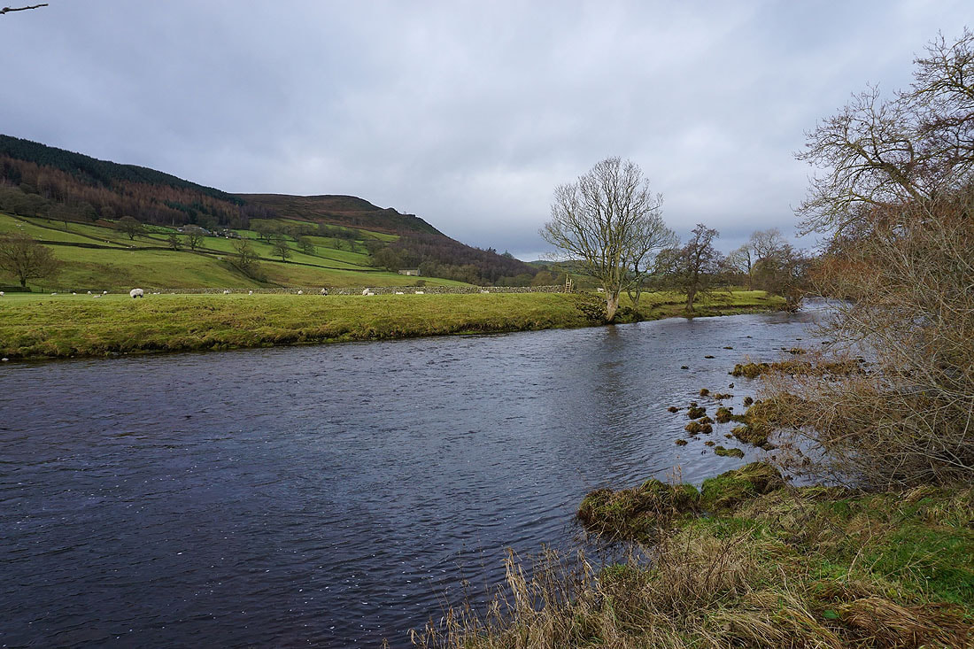
Views of the River Wharfe from the Dales Way...
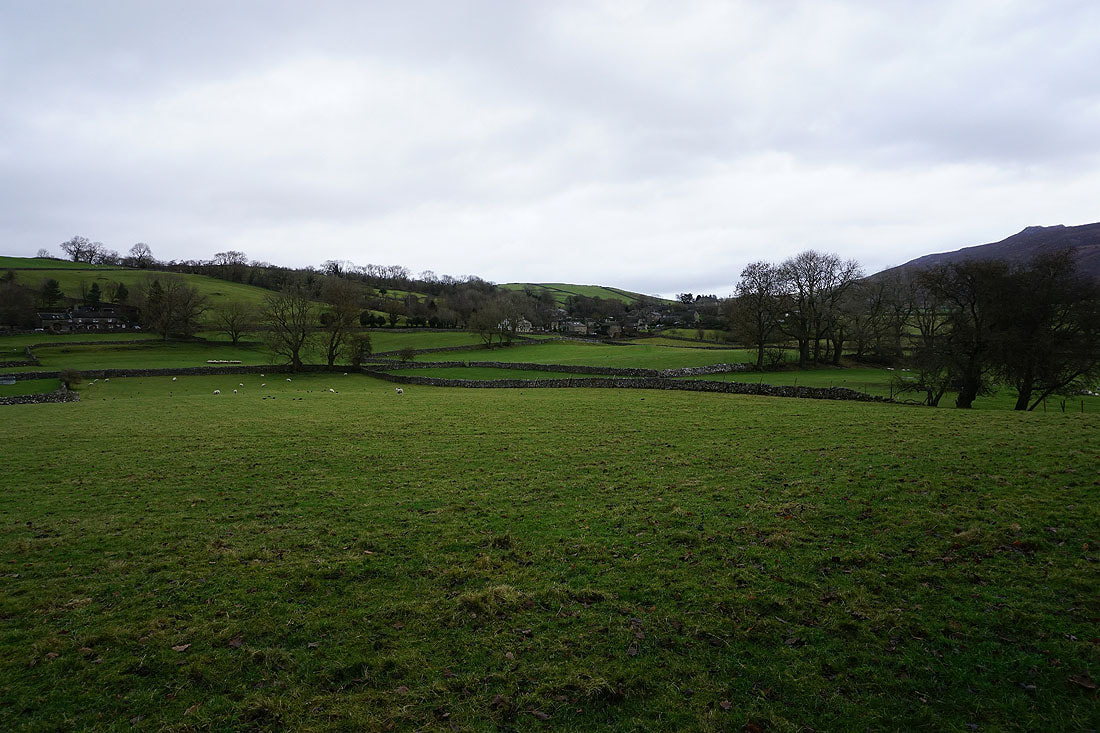
The village of Appletreewick across the fields to the north
Simon's Seat ahead as I follow the Dales Way towards Howgill
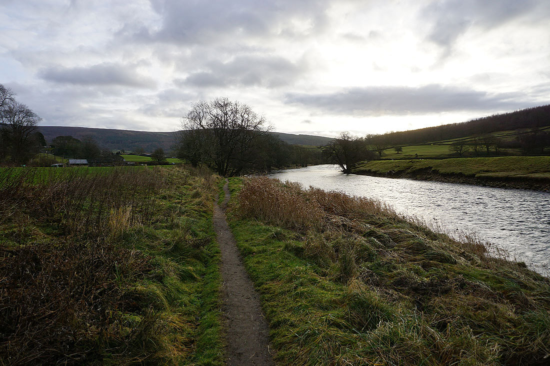
The River Wharfe becomes more boisterous as I approach Howgill
Through the woodland by the River Wharfe
|
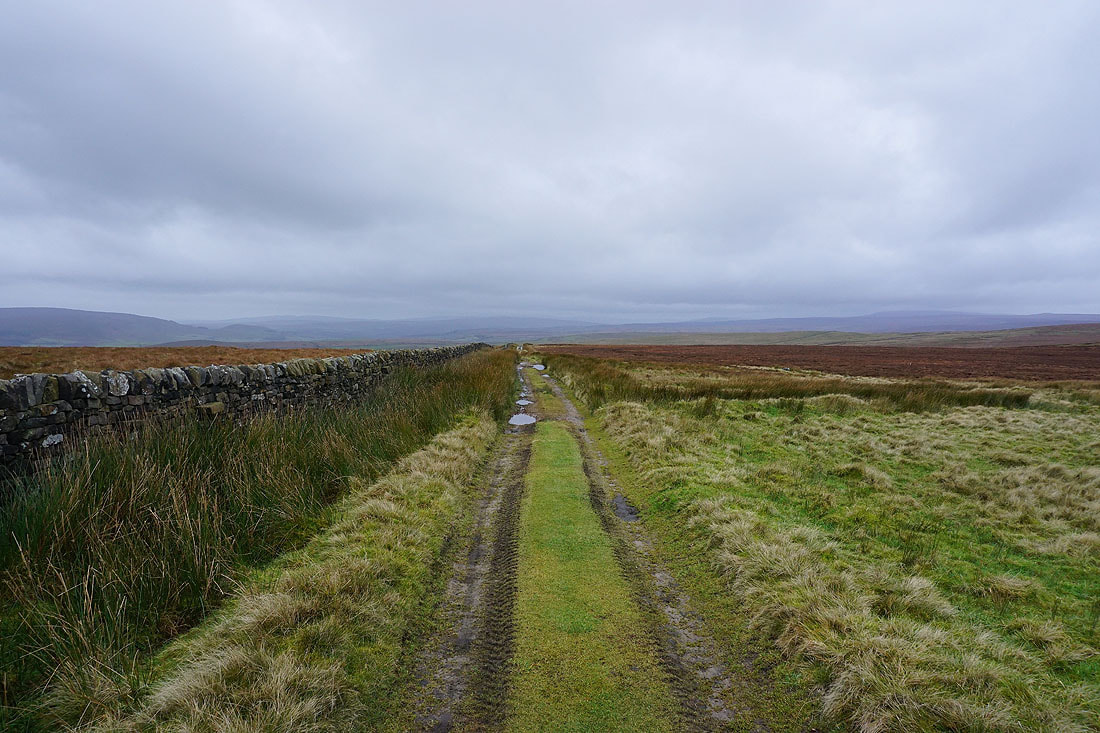
On the footpath up to Howgill Lane
|
Wharfedale below from the footpath up to Simon's Seat..
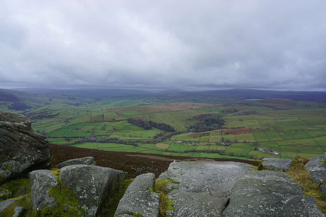
Looking across Wharfedale to Lower Barden Reservoir, and the southern half of Barden Moor from higher up
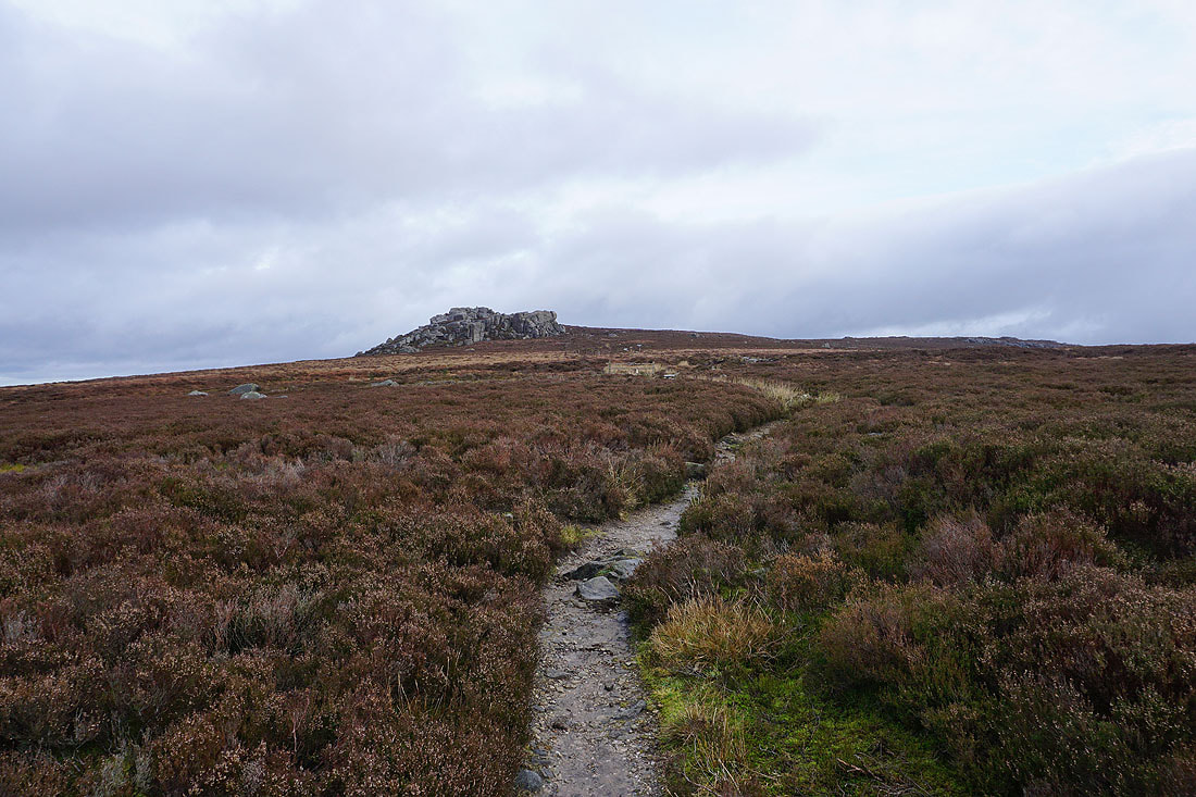
Approaching Simon's Seat, the highest point on Barden Fell
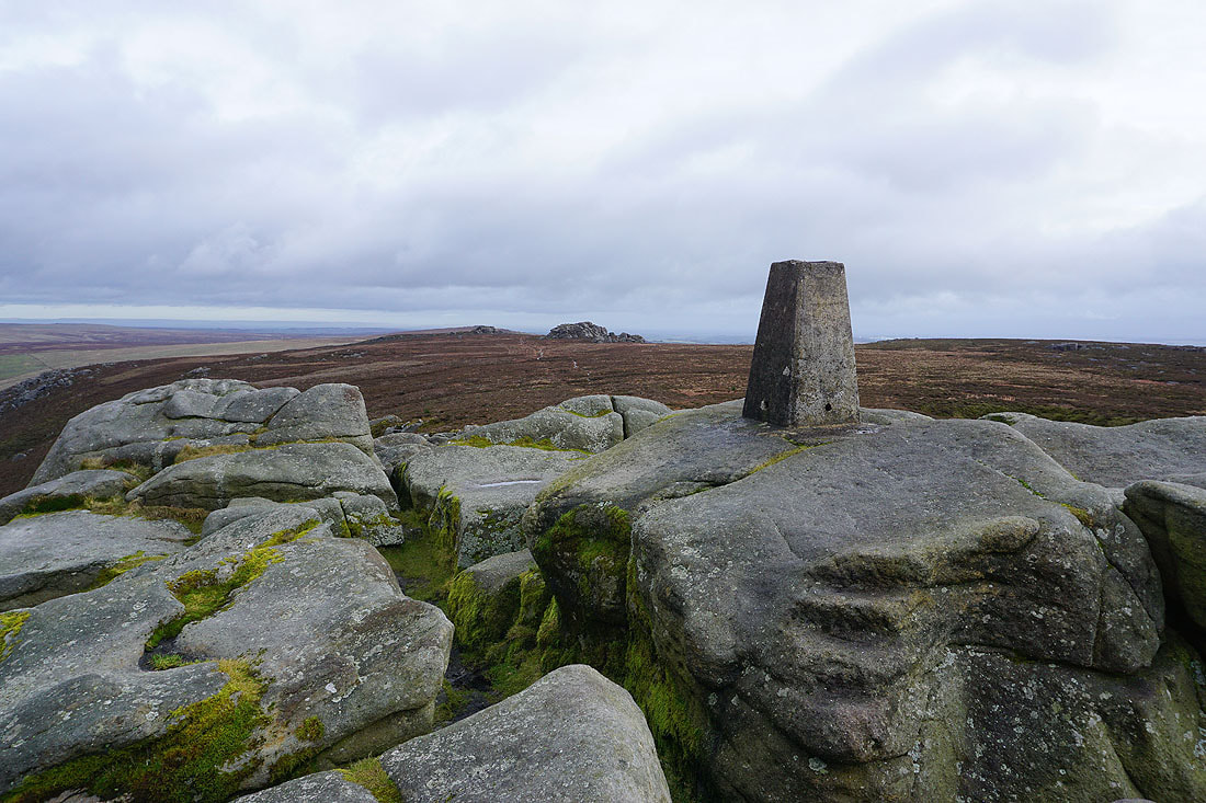
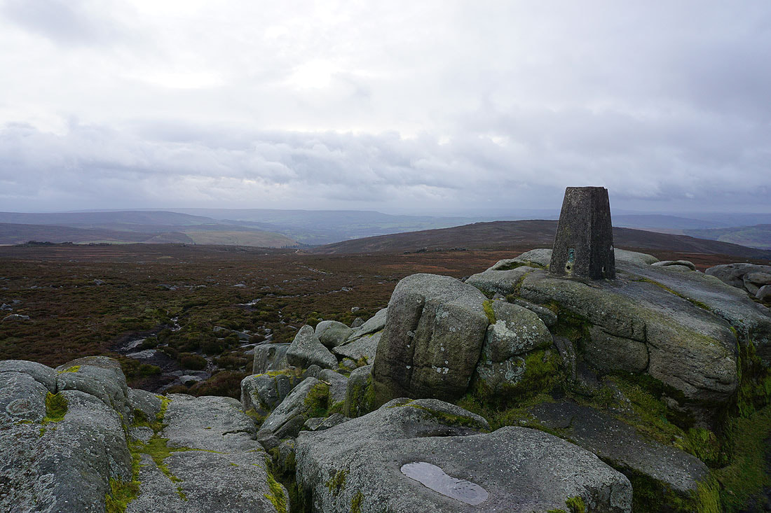
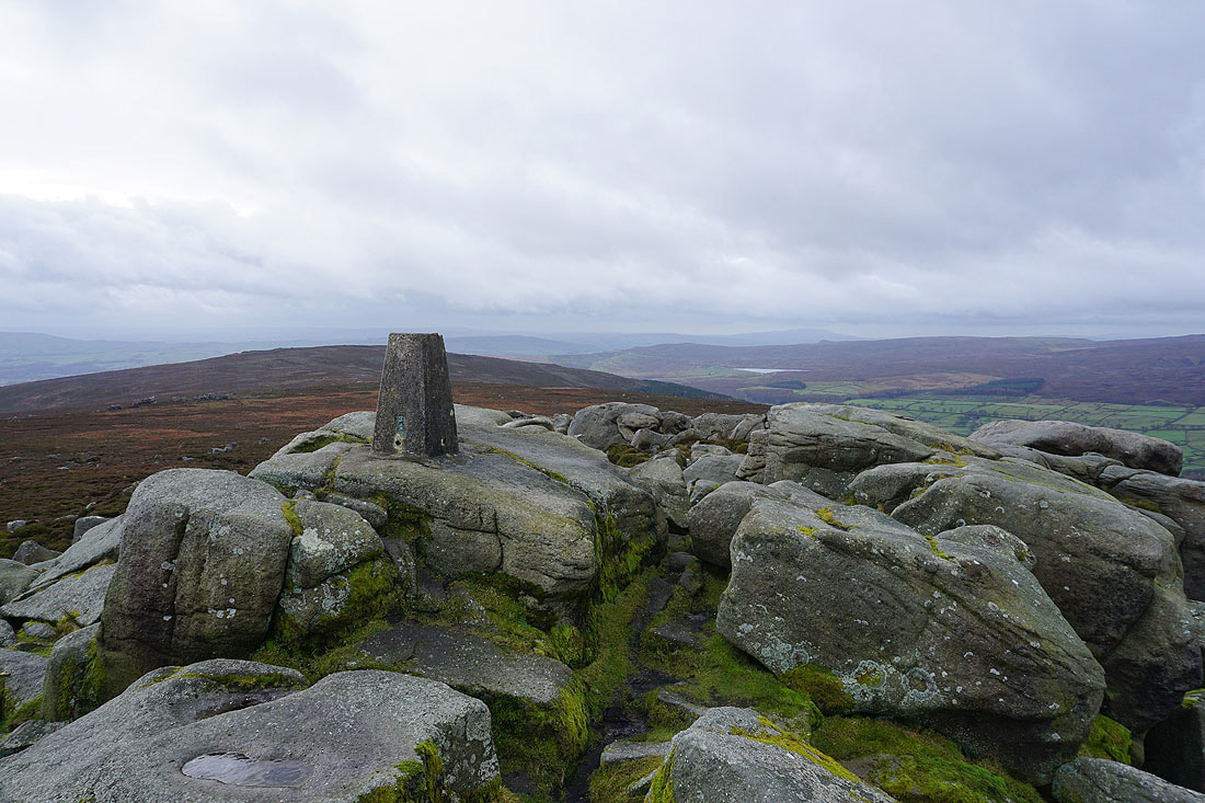
At the trig point on Simon's Seat
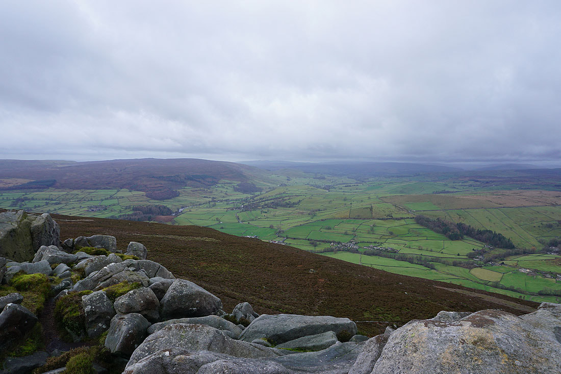
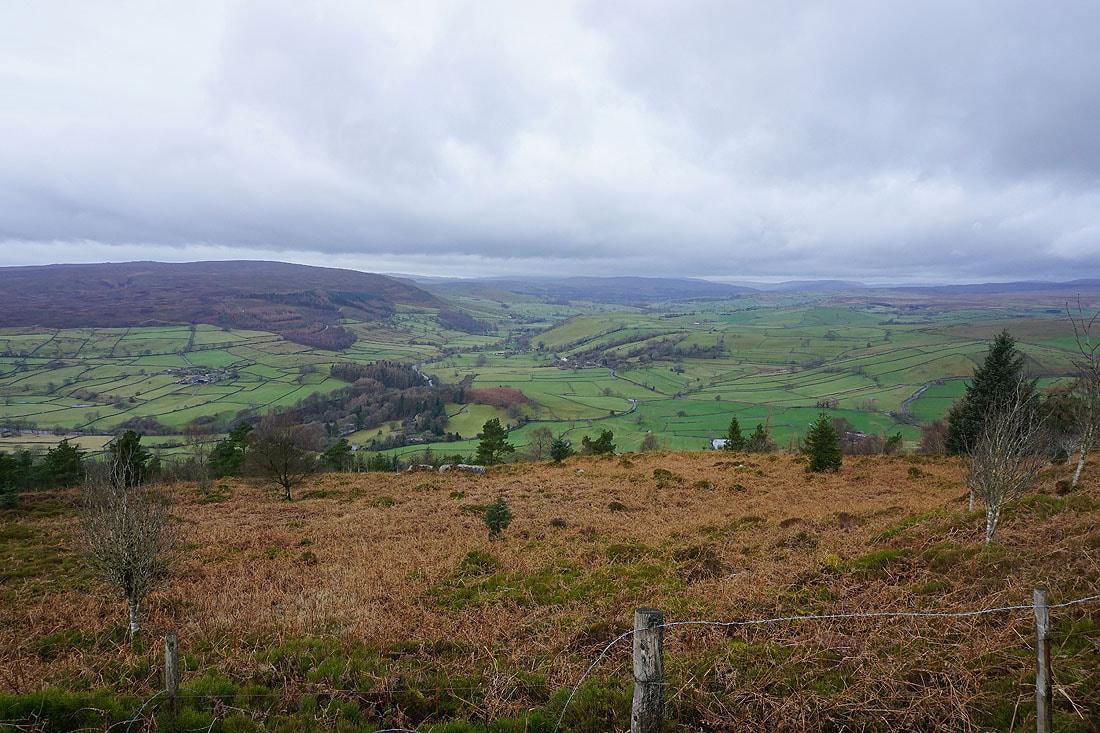
Looking northwest up Wharfedale..
..and north across the valley of Blands Beck to Appletreewick Moor and Grassington Moor. A bit of Grimwith Reservoir can be made out.
The neighbouring Lord's Seat to the east
Looking south to Beamsley Beacon and Ilkley Moor
Skipton Moor in the distance behind Carncliff Top on the left, and Lower Barden Reservoir on the right on the southern end of Barden Moor
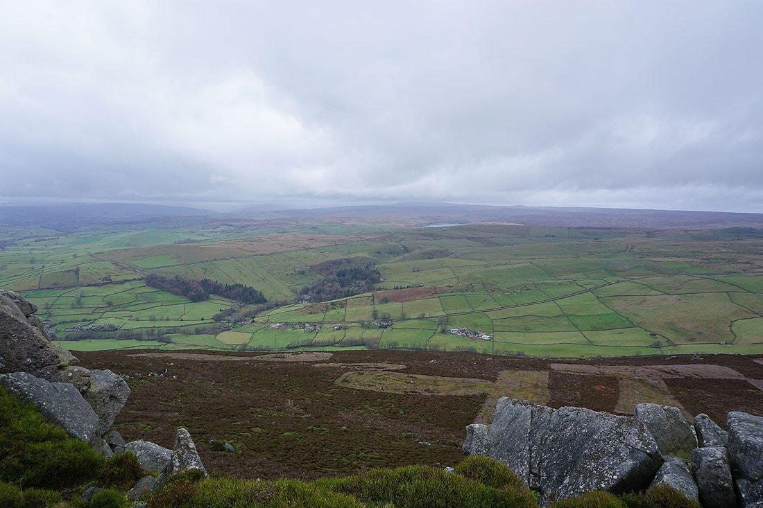
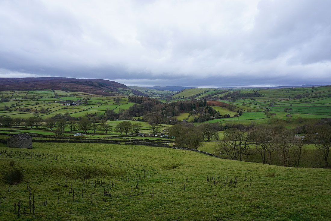
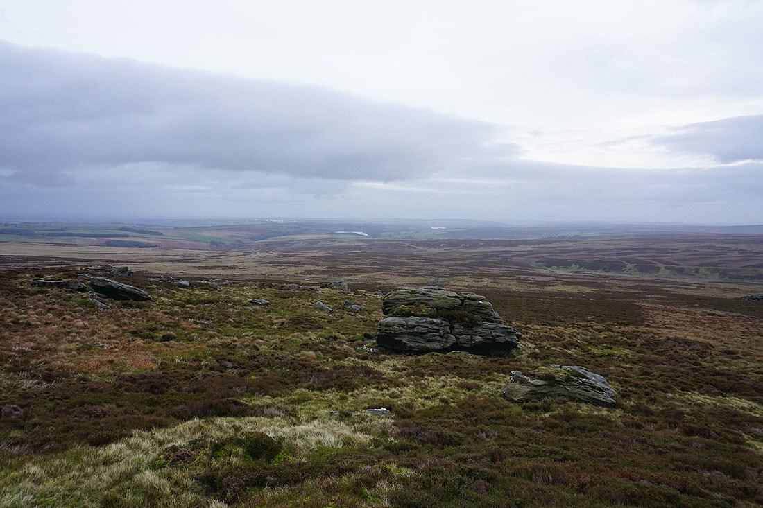
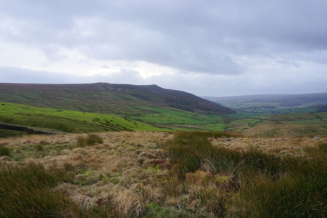
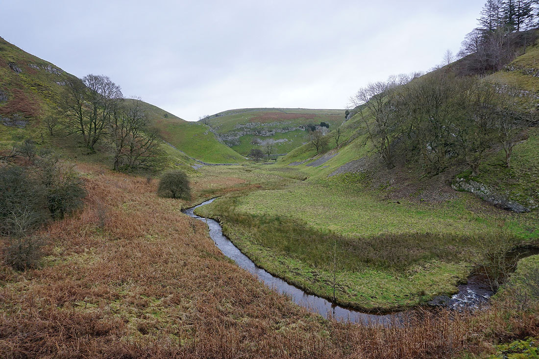
Skyreholme and the moorland around Trollers Gill below. I'll be down there later in the afternoon.
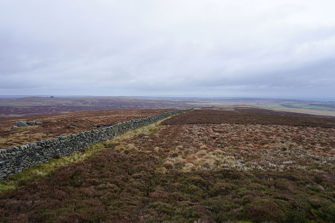
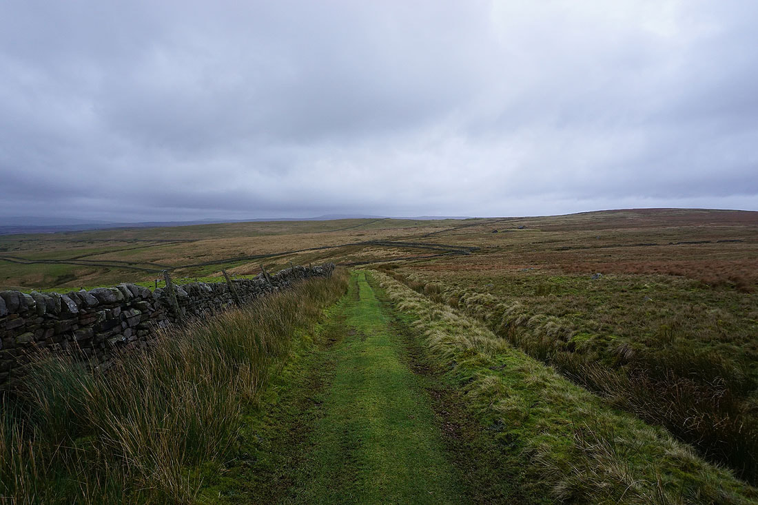
Leaving Simon's Seat I follow the flagged path to Lord's Seat
Simon's Seat, Burnsall Fell and Wharfedale from Lord's Seat
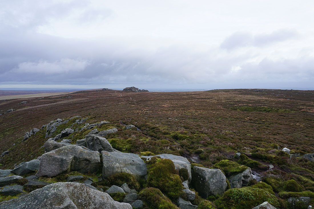
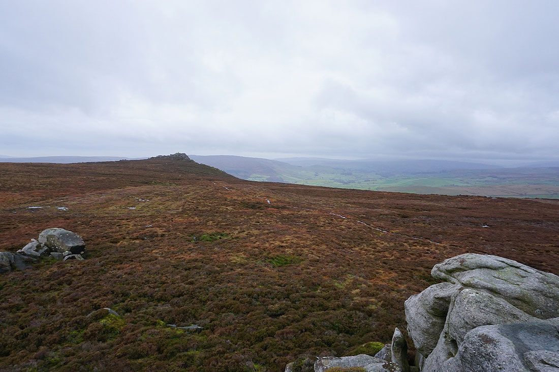
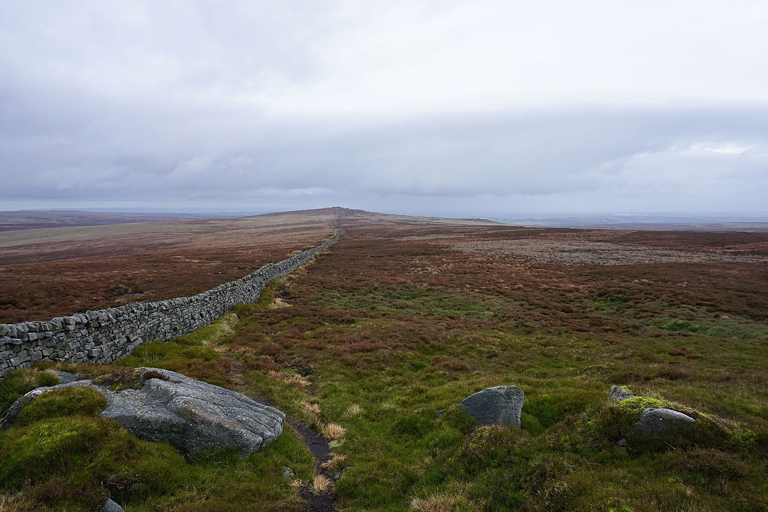
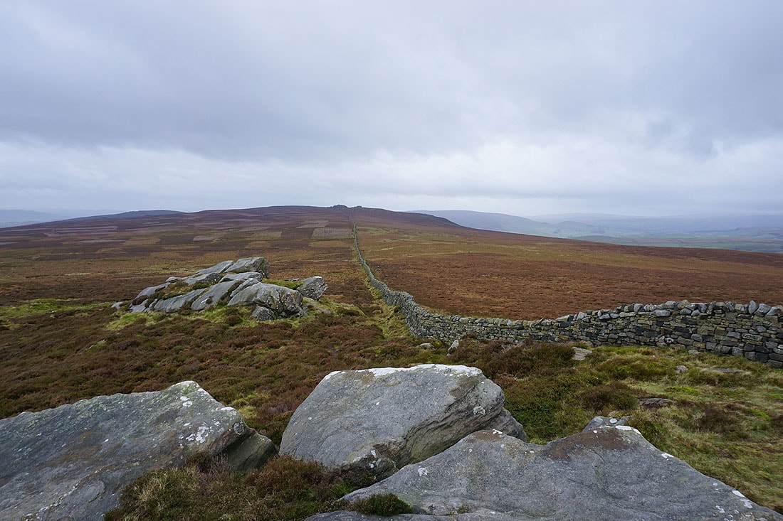
Looking east to Pock Stones Moor
and south across the rest of Barden Fell to Round Hill, and Beamsley Beacon
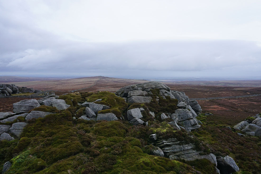
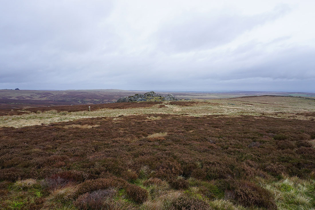
Heading for Great Pock Stones
On Great Pock Stones. Looking back to Lord's Seat.
and down the Washburn Valley to Menwith Hill
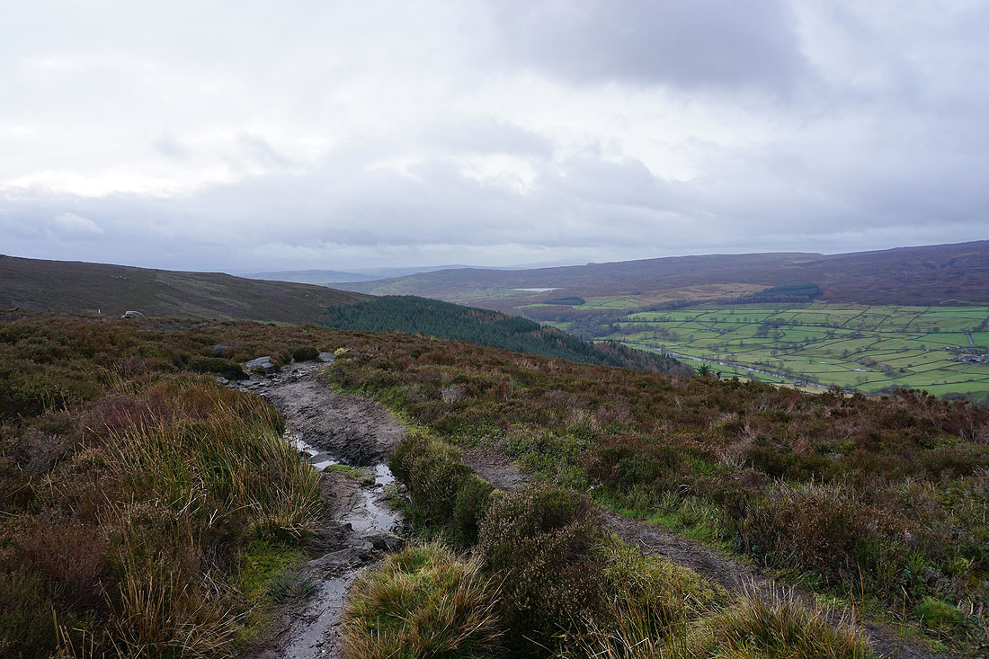
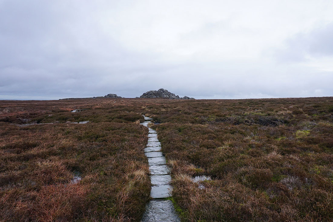
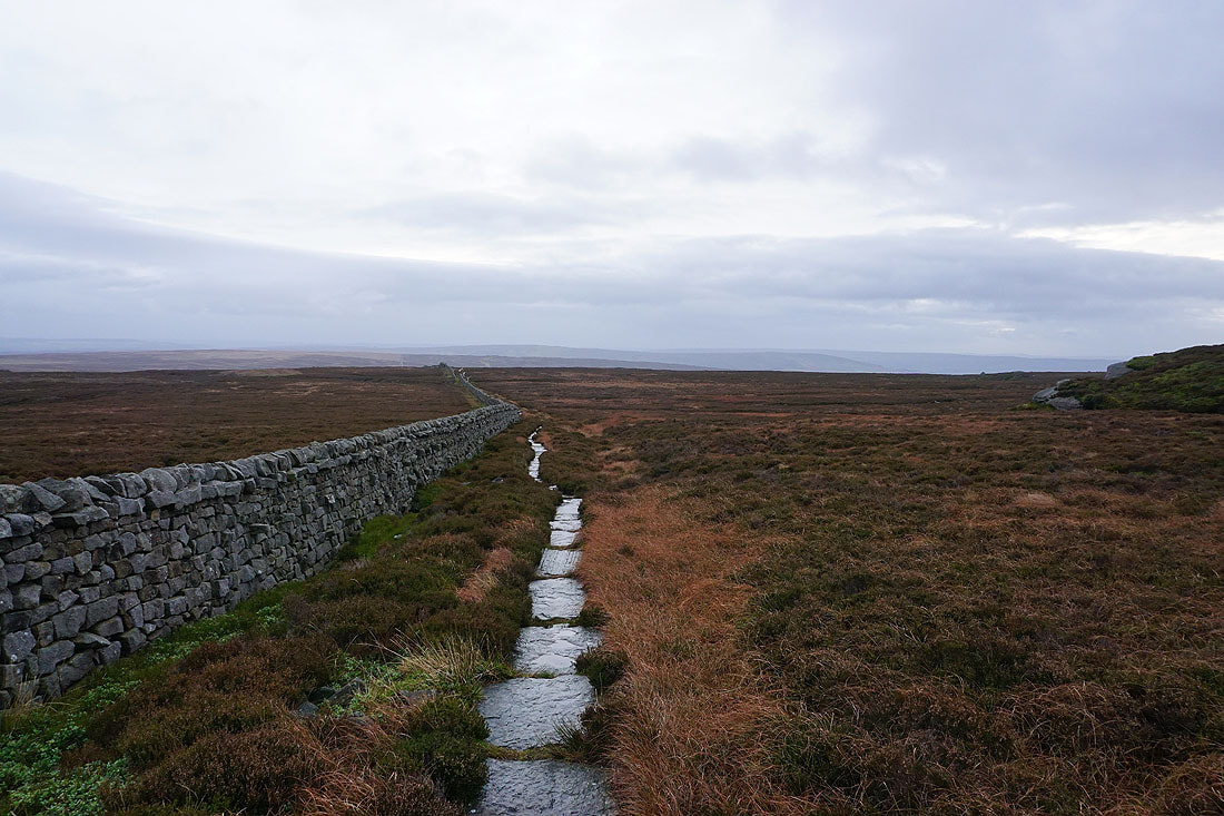
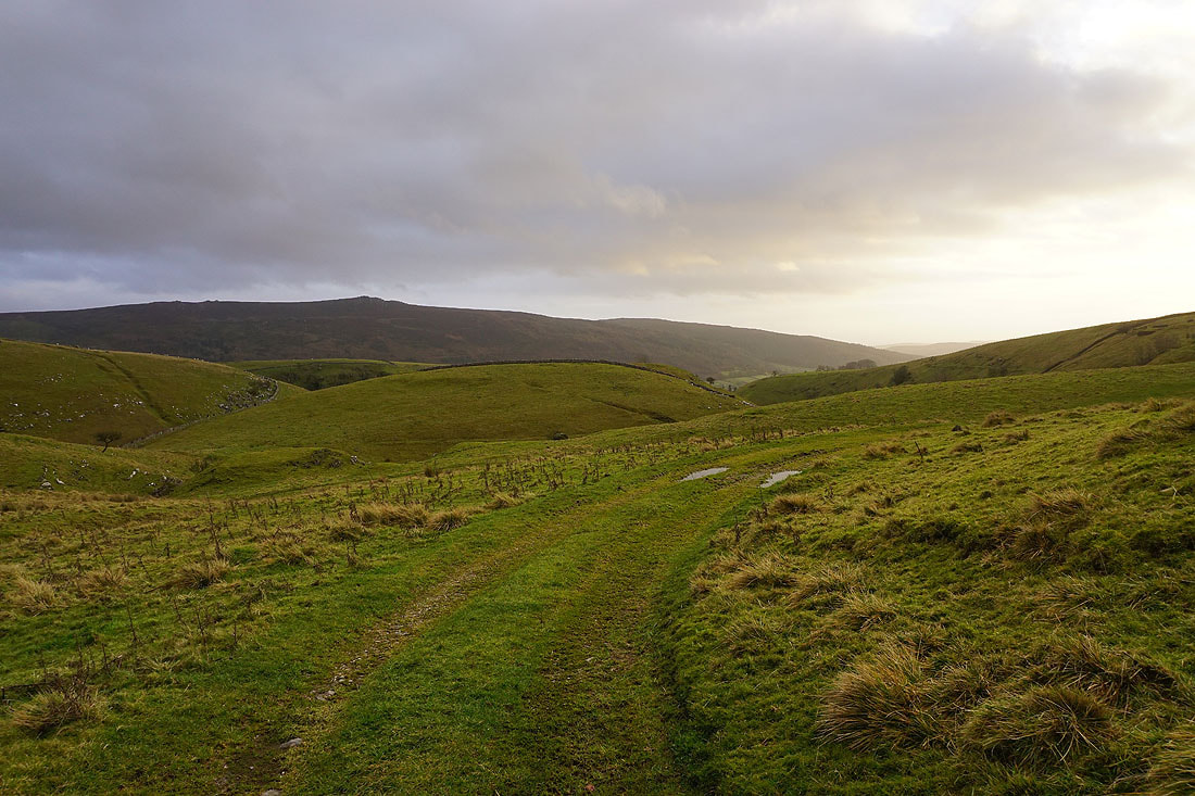
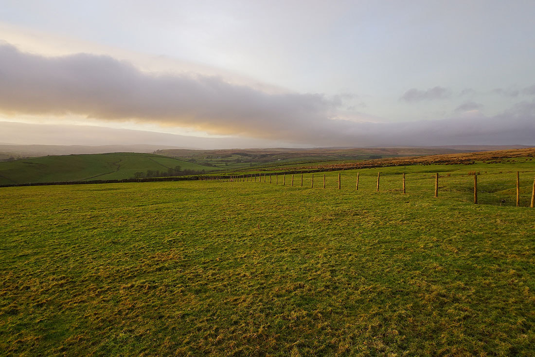
Crossing Pock Stones Moor to Little Pock Stones, and the track of Forest Road, which I'll follow down to High Skyreholme
Little Pock Stones

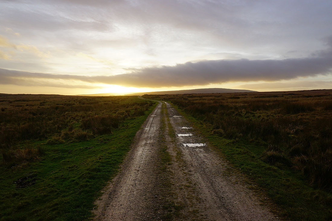
Onto the track of Forest Road. In this direction it heads down into the Washburn Valley and to the hamlet of Bramley Head.
I'm going the other way, west, down to High Skyreholme...
Looking across the valley of Blands Beck to Lord's Seat and Simon's Seat
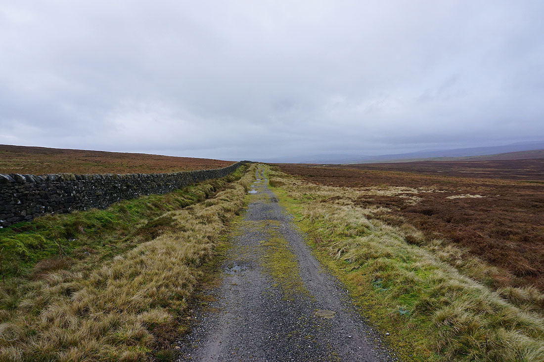
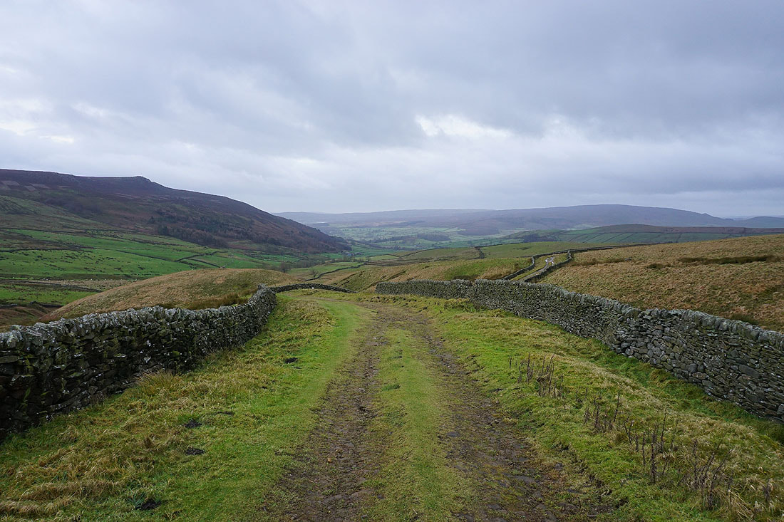
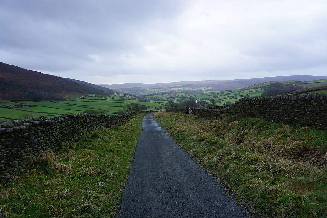
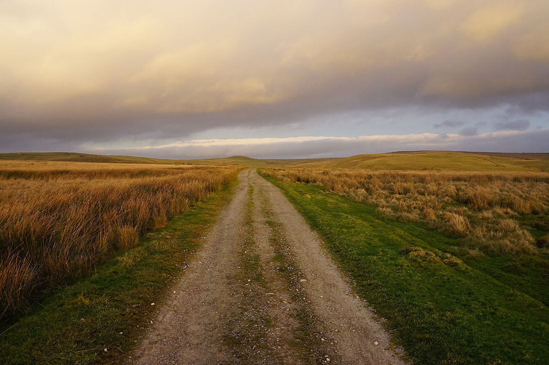
Following the track of Forest Road, and then Skyreholme Bank down to High Skyreholme...
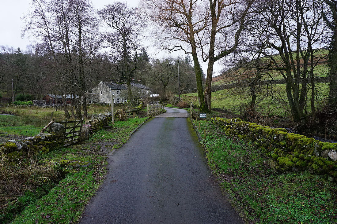
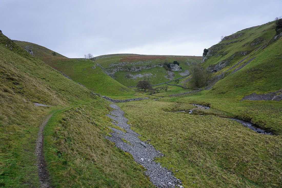
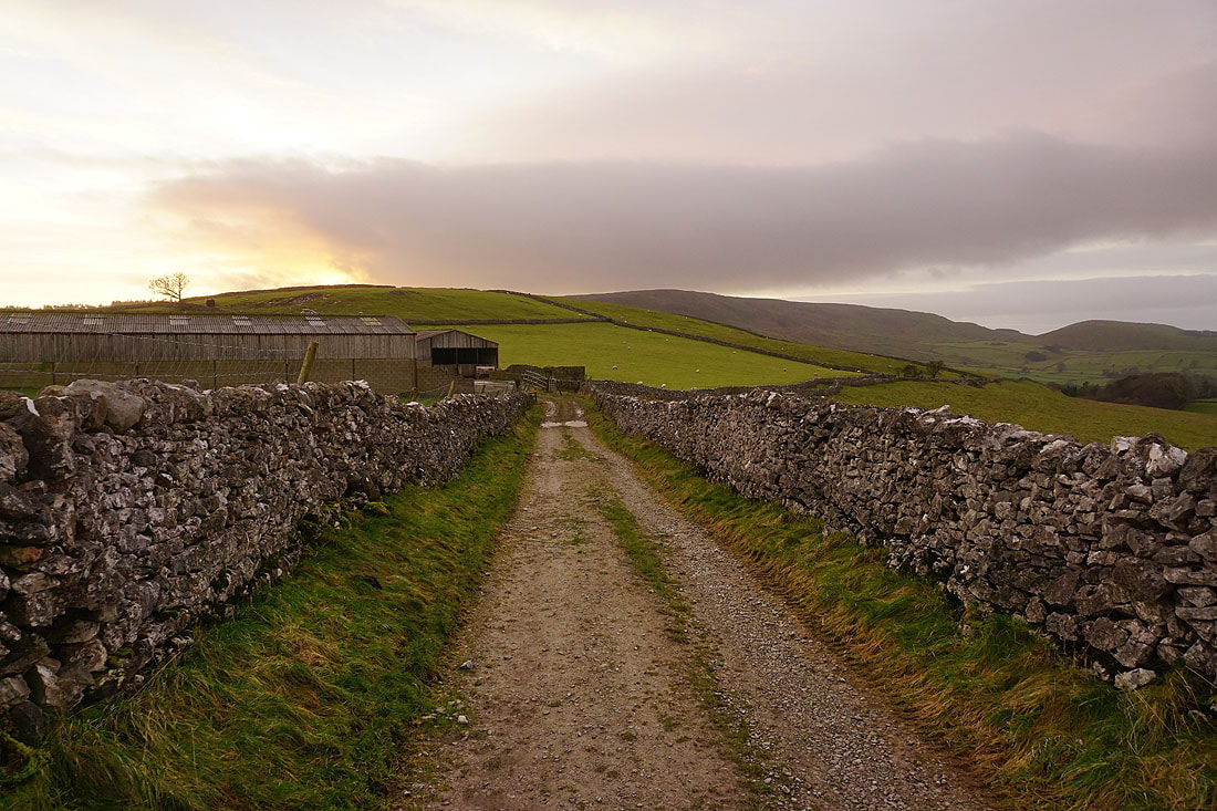
Approaching Parcevall Hall. The footpath to Trollers Gill is on the left.
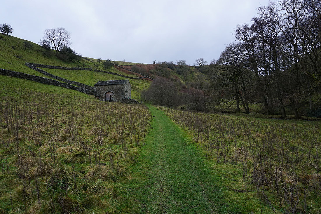
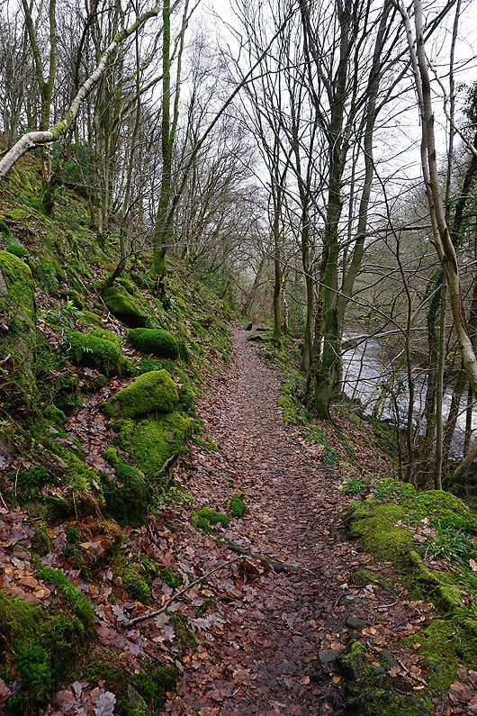
Following the footpath by Skyreholme Beck to Trollers Gill...
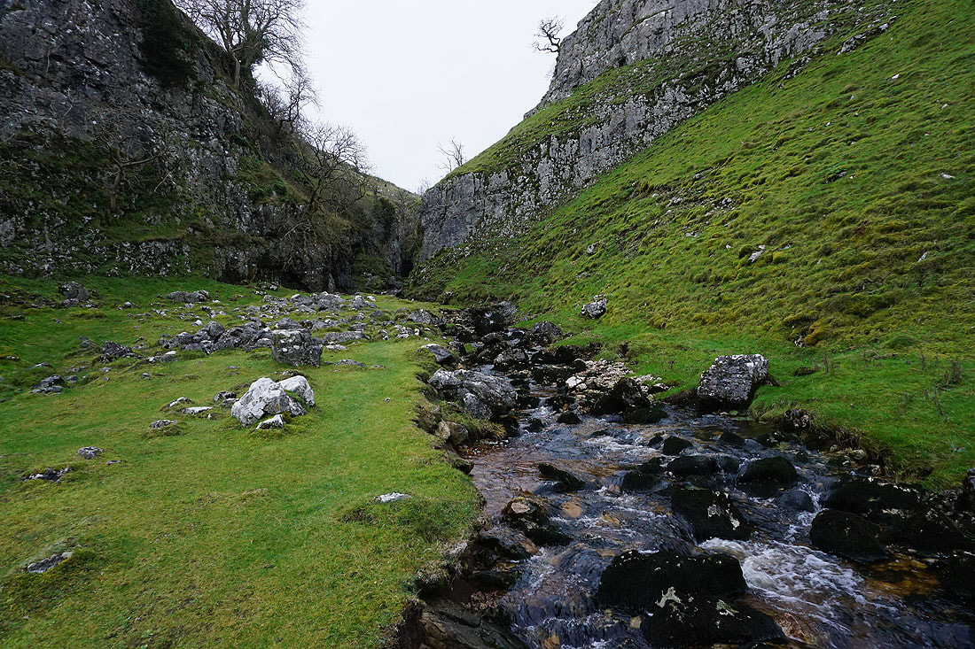
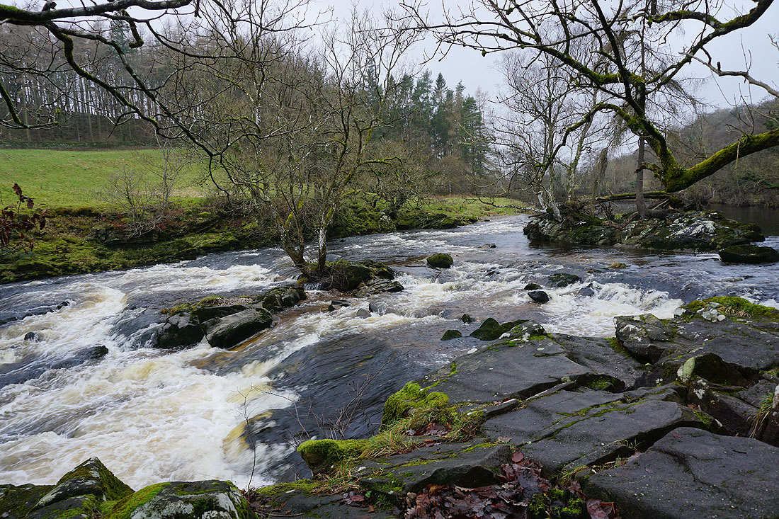
At the entrance to Trollers Gill. With the beck flowing through it I'm going to give it a miss..
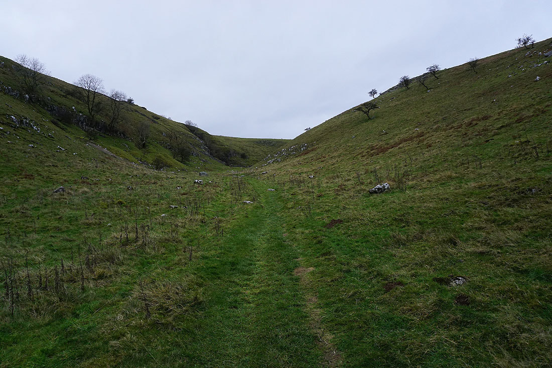
..and take the footpath up the dry valley next to it to New Road
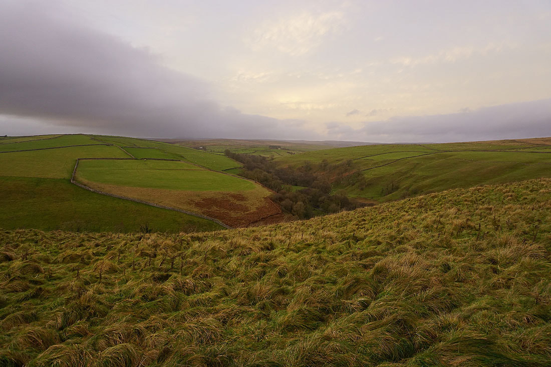
Looking back to the moorland around Trollers Gill, with Simon's Seat in the distance. After a mostly grey and overcast day it looks like the sun might be putting in an appearance before it sets.
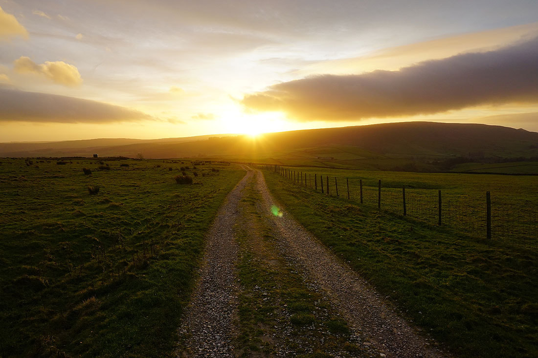
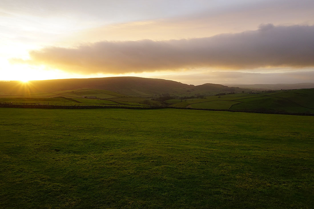
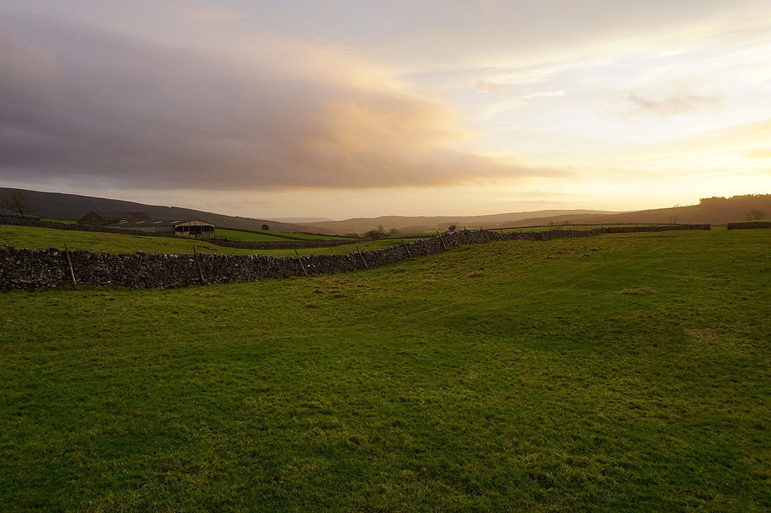
Onto the bridleway across Appletreewick Pasture. Weak winter sunshine breaks through as the sun starts to set behind Barden Moor.
Looking back to Nursery Knott and Black Hill
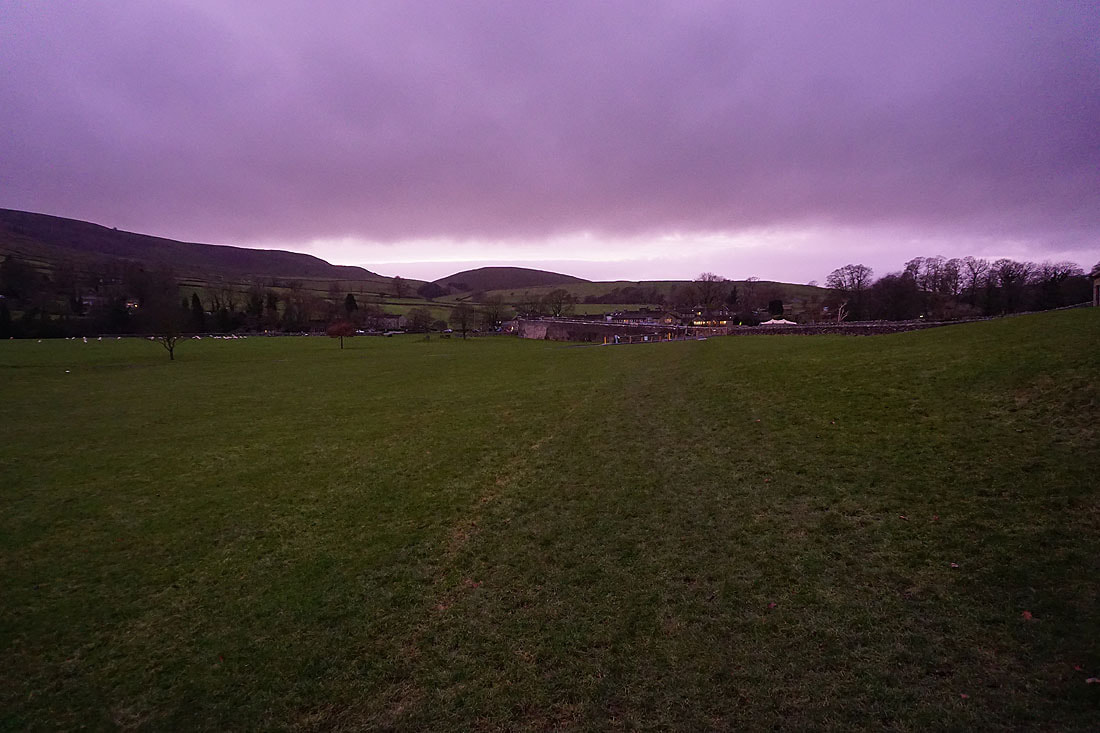
Some nice colour in the skies above Wharfedale as the sun sets....
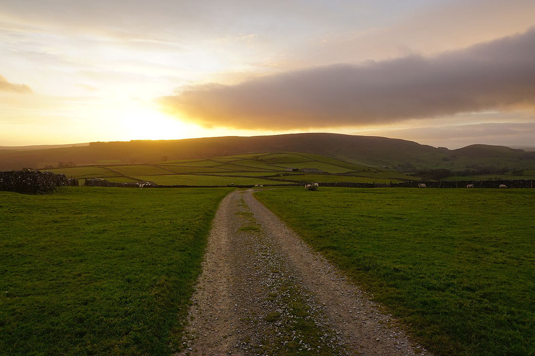
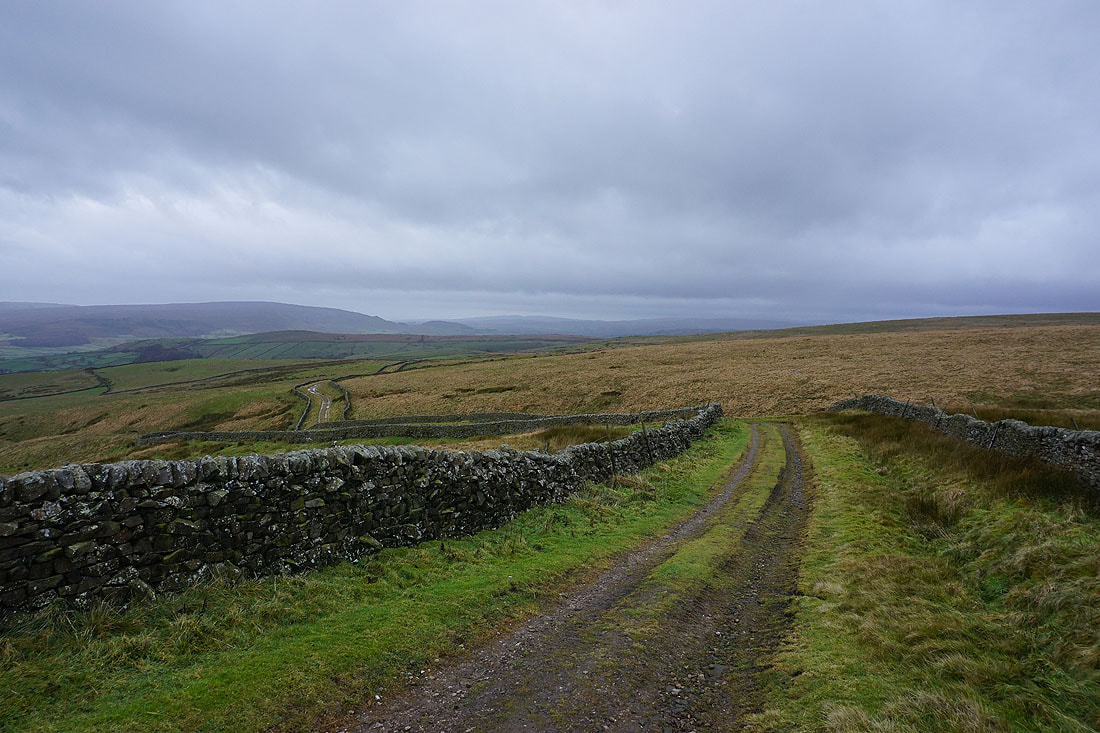
Heading down the track of Kail Lane
To my left, the moorland above Appletreewick
and to my right, Langerton Hill and the valley of Barben Beck
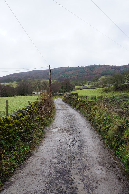
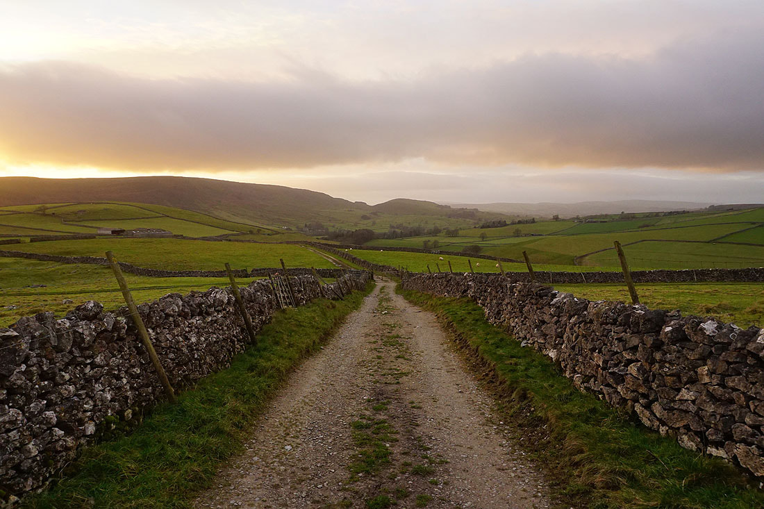
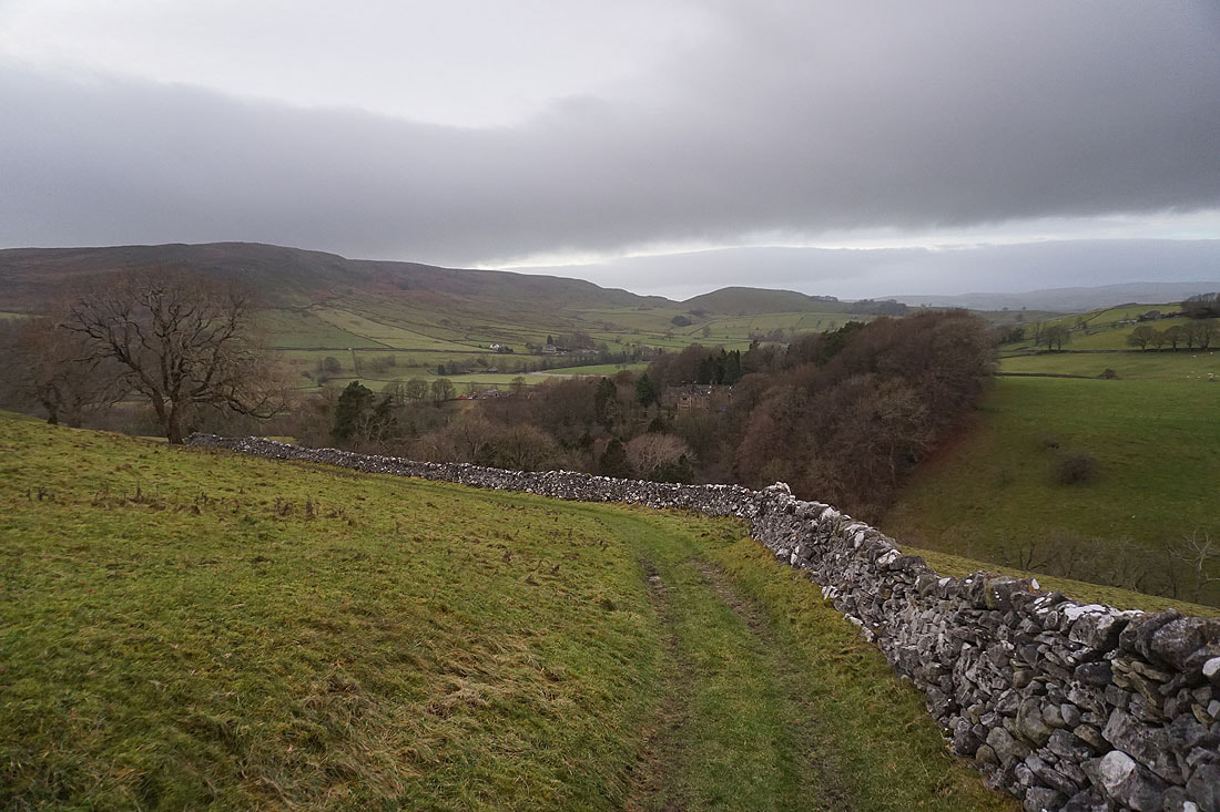
Following Kail Lane past Kail Gate Laithe and down to Woodhouse Lane..
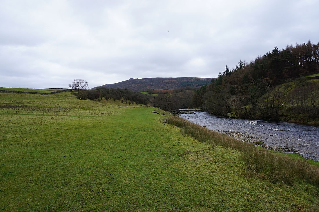
Following the Dales Way back to Burnsall in the last of the light