15th January 2023 - Buckden Pike
Walk Details
Distance walked: 8.4 miles
Total ascent: 2141 ft
OS map used: OL30 - Yorkshire Dales, Northern & Central areas
Time taken: 6 hrs
Route description: Buckden-Dales Way-Hubberholme-Stubbing Bridge-Cray-Cow Close Gill-Buckden Rake-Buckden Pike-Walden Road-Buckden
The weather turned colder overnight, and with the forecast suggesting that it might have been cold enough for snow on the tops of the fells before the rain cleared away, I wanted to do a walk that would take me up one of the high fells. I managed to go through last year without visiting Buckden Pike, so that made up my mind for me. When I arrived in Buckden the tops of the fells were covered in low cloud. This was forecast to clear, but to give it time to do so I left Buckden by taking the Dales Way north to Hubberholme and then heading for Cray before commencing the ascent, a route that I've done before. The path by Cray Gill is definitely worth a walk along, there were plenty of waterfalls to see, and it was also worth the short detour to see the waterfall on Cow Close Gill above Cray. The low cloud cleared by midday, so I enjoyed great views from Buckden Pike with some snow on the ground, on what was a cold and windy winter's day with sunny spells.
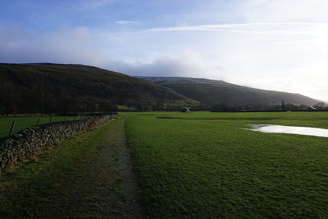
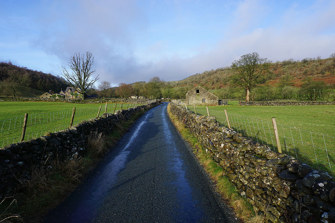
From the car park in Buckden I set off by walking down Dubb's Lane to cross the River Wharfe and reach the Dales Way trail. I followed this north to join the road again to Hubberholme and after crossing the bridge over the Wharfe to the church of St. Michael and All Angels I walked east along the lane towards Cray to Stubbing Bridge. Here I left the road for a footpath by Cray Gill up to the hamlet of Cray. I then crossed the road next to the White Lion Inn and Cray Gill via the stepping stones to head uphill to the bridleway of Buckden Rake, where after a short detour to the waterfall on Cow Close Gill, I went across it to continue uphill to join the path up to the summit of Buckden Pike. After having lunch in the shelter of the summit wall I walked south along the summit ridge to the memorial cross then down to the wall corner where the bridleway of Walden Road is reached. I followed this downhill towards Starbotton but just before the final descent to the valley floor I left it for a footpath on the right signposted for Buckden Lead Mine. This contoured north across the hillside and when it was joined by a path up from Buckden I took that one down to Buckden and the car park.
Total ascent: 2141 ft
OS map used: OL30 - Yorkshire Dales, Northern & Central areas
Time taken: 6 hrs
Route description: Buckden-Dales Way-Hubberholme-Stubbing Bridge-Cray-Cow Close Gill-Buckden Rake-Buckden Pike-Walden Road-Buckden
The weather turned colder overnight, and with the forecast suggesting that it might have been cold enough for snow on the tops of the fells before the rain cleared away, I wanted to do a walk that would take me up one of the high fells. I managed to go through last year without visiting Buckden Pike, so that made up my mind for me. When I arrived in Buckden the tops of the fells were covered in low cloud. This was forecast to clear, but to give it time to do so I left Buckden by taking the Dales Way north to Hubberholme and then heading for Cray before commencing the ascent, a route that I've done before. The path by Cray Gill is definitely worth a walk along, there were plenty of waterfalls to see, and it was also worth the short detour to see the waterfall on Cow Close Gill above Cray. The low cloud cleared by midday, so I enjoyed great views from Buckden Pike with some snow on the ground, on what was a cold and windy winter's day with sunny spells.
From the car park in Buckden I set off by walking down Dubb's Lane to cross the River Wharfe and reach the Dales Way trail. I followed this north to join the road again to Hubberholme and after crossing the bridge over the Wharfe to the church of St. Michael and All Angels I walked east along the lane towards Cray to Stubbing Bridge. Here I left the road for a footpath by Cray Gill up to the hamlet of Cray. I then crossed the road next to the White Lion Inn and Cray Gill via the stepping stones to head uphill to the bridleway of Buckden Rake, where after a short detour to the waterfall on Cow Close Gill, I went across it to continue uphill to join the path up to the summit of Buckden Pike. After having lunch in the shelter of the summit wall I walked south along the summit ridge to the memorial cross then down to the wall corner where the bridleway of Walden Road is reached. I followed this downhill towards Starbotton but just before the final descent to the valley floor I left it for a footpath on the right signposted for Buckden Lead Mine. This contoured north across the hillside and when it was joined by a path up from Buckden I took that one down to Buckden and the car park.
Route map
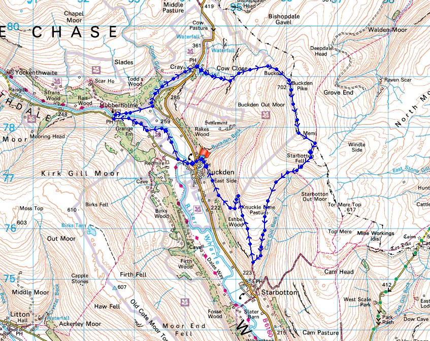
© Crown copyright. All rights reserved. License number PU 100034184.
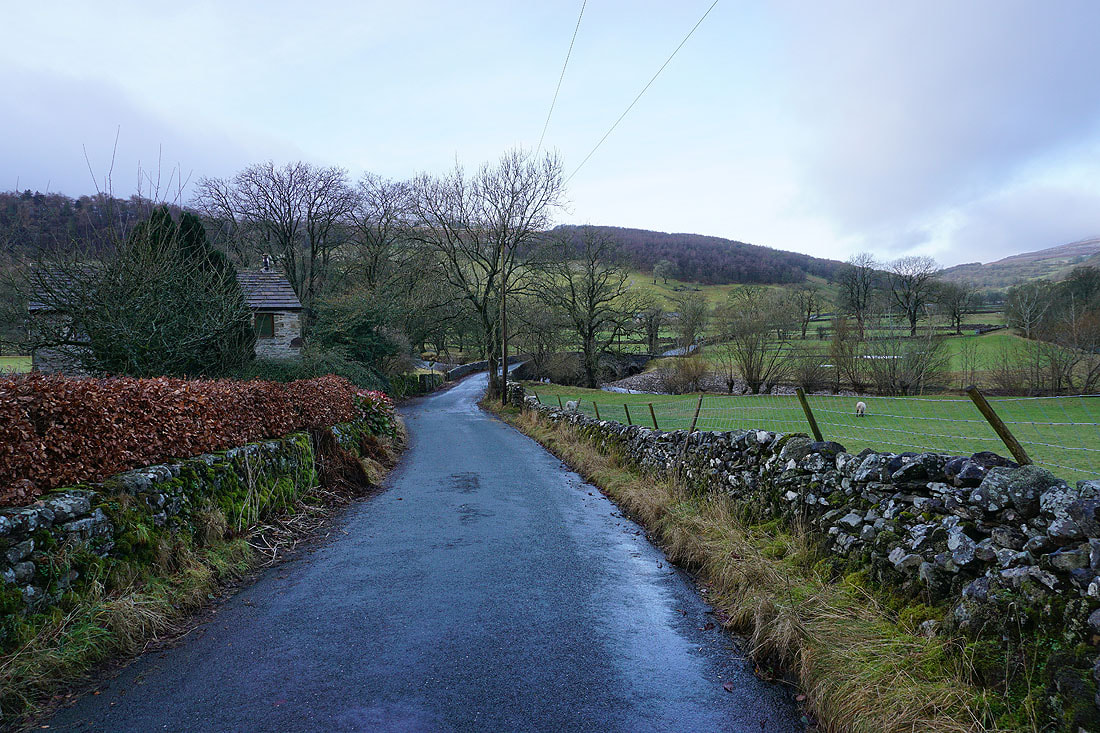
Leaving Buckden by walking down the road towards Hubberholme
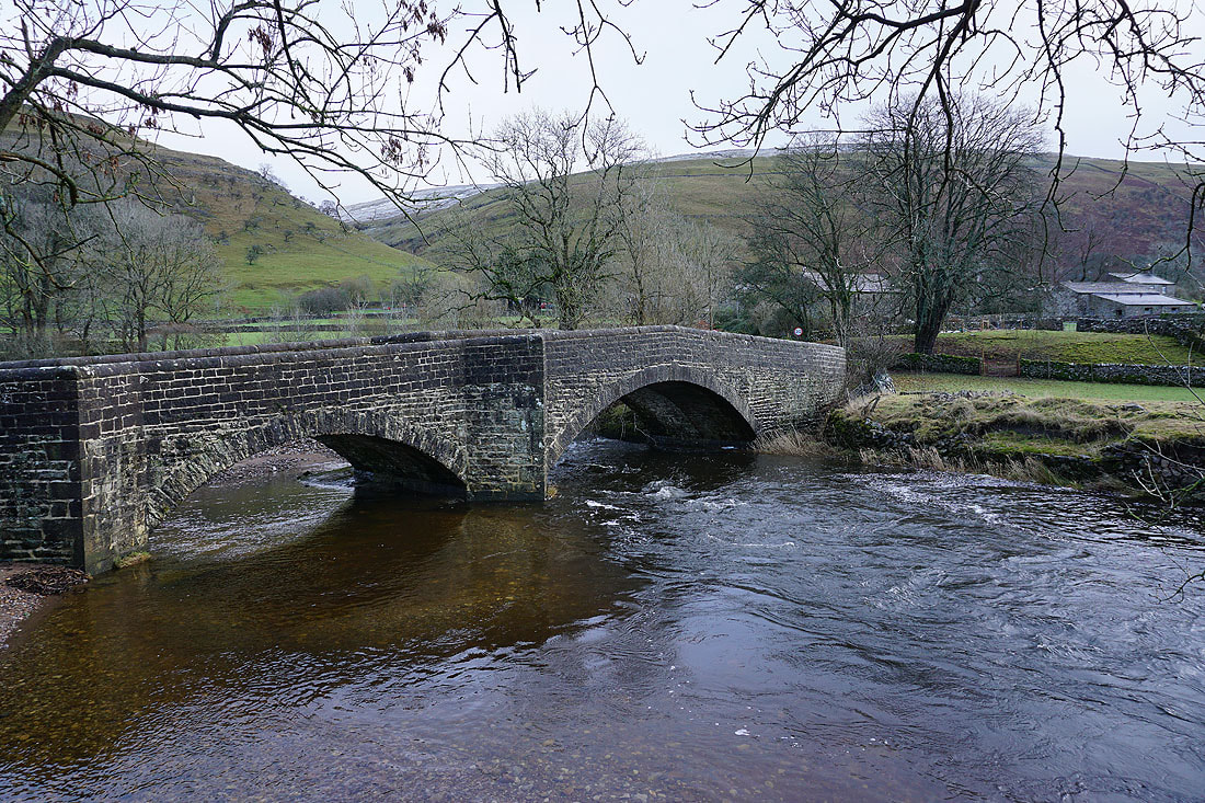
The bridge over the River Wharfe below Buckden
I leave the road and take the Dales Way to Hubberholme
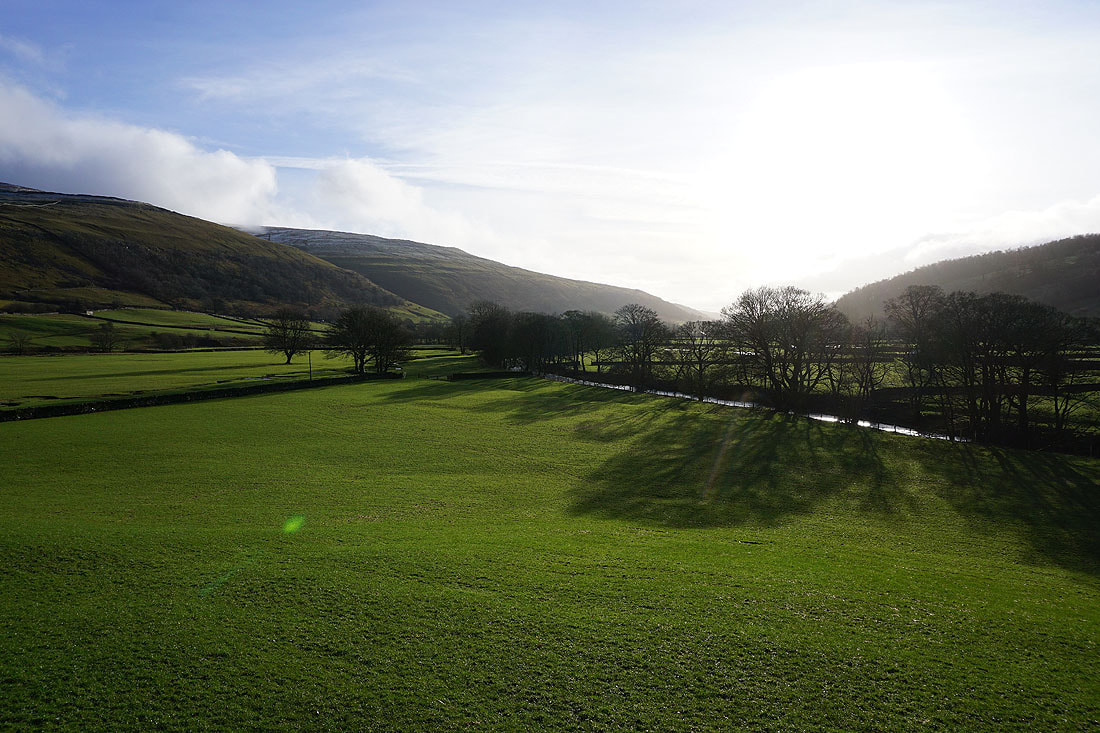
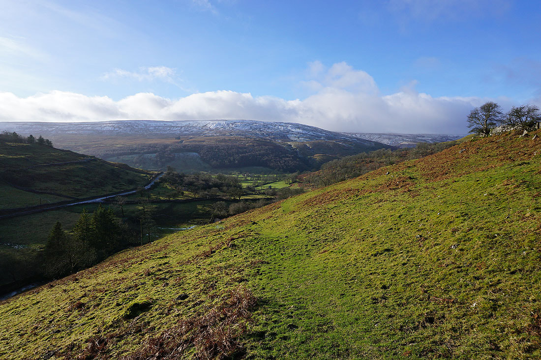
Views of Wharfedale on a fine winter's morning...
Looking back towards Buckden
The Dales Way joins the road to Hubberholme
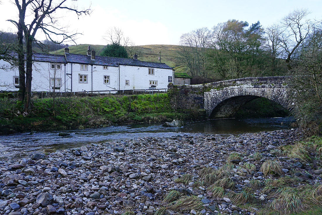
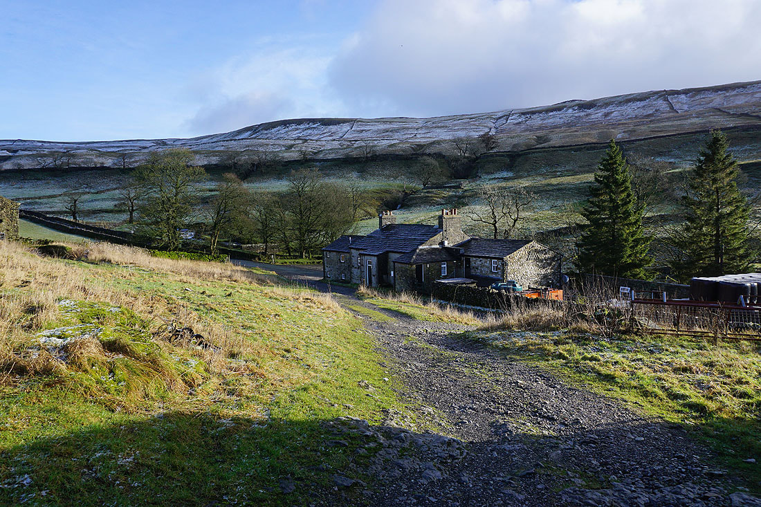
The George Inn and the bridge over the River Wharfe at Hubberholme
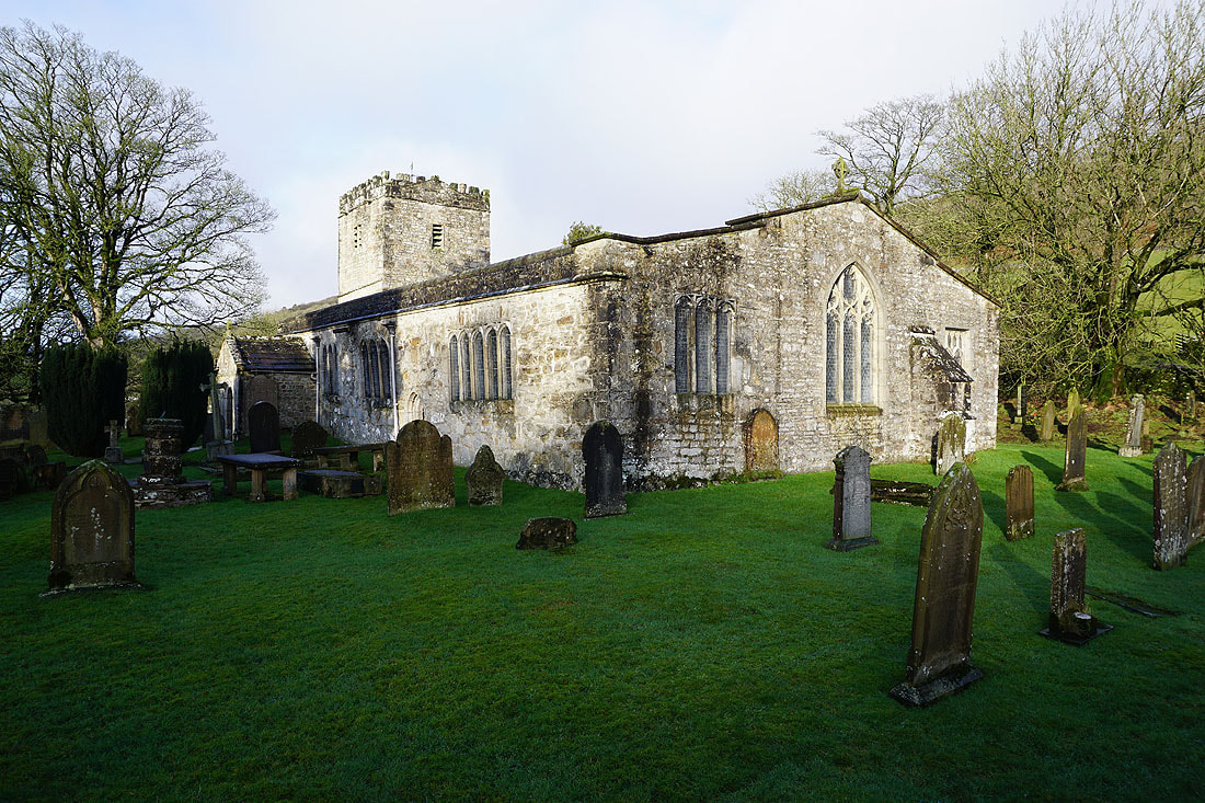
The church of St. Michael and All Angels
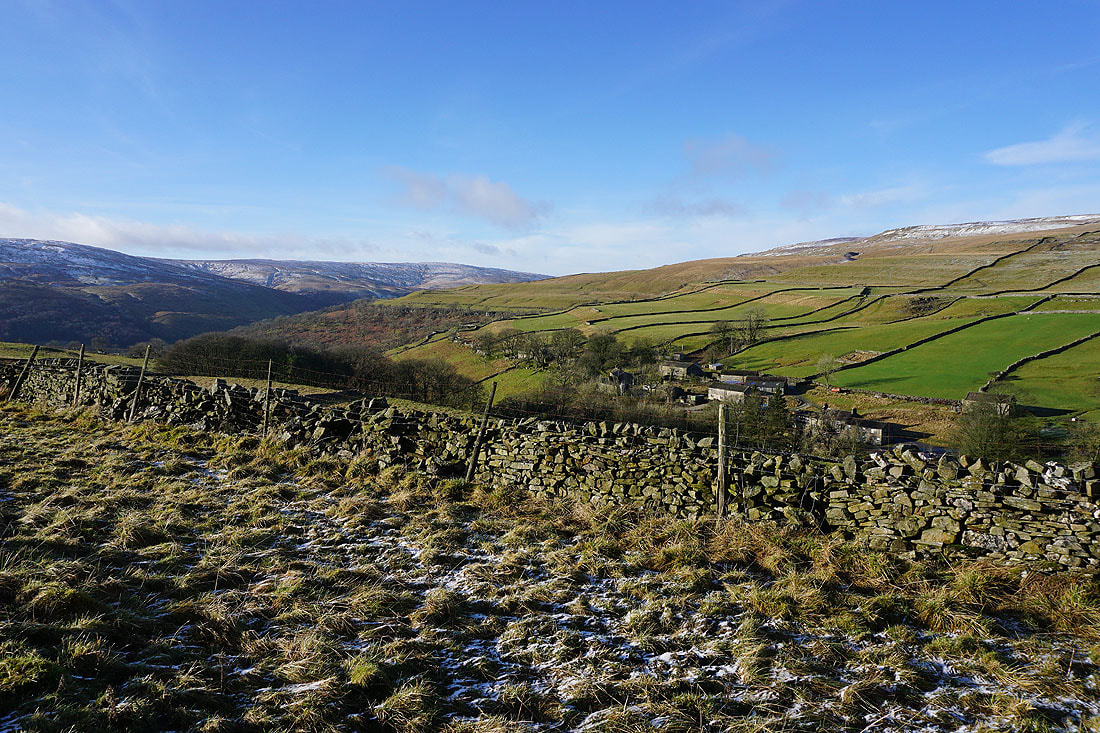
Wharfedale to my right as I walk along the road from Hubberholme to Stubbing Bridge..
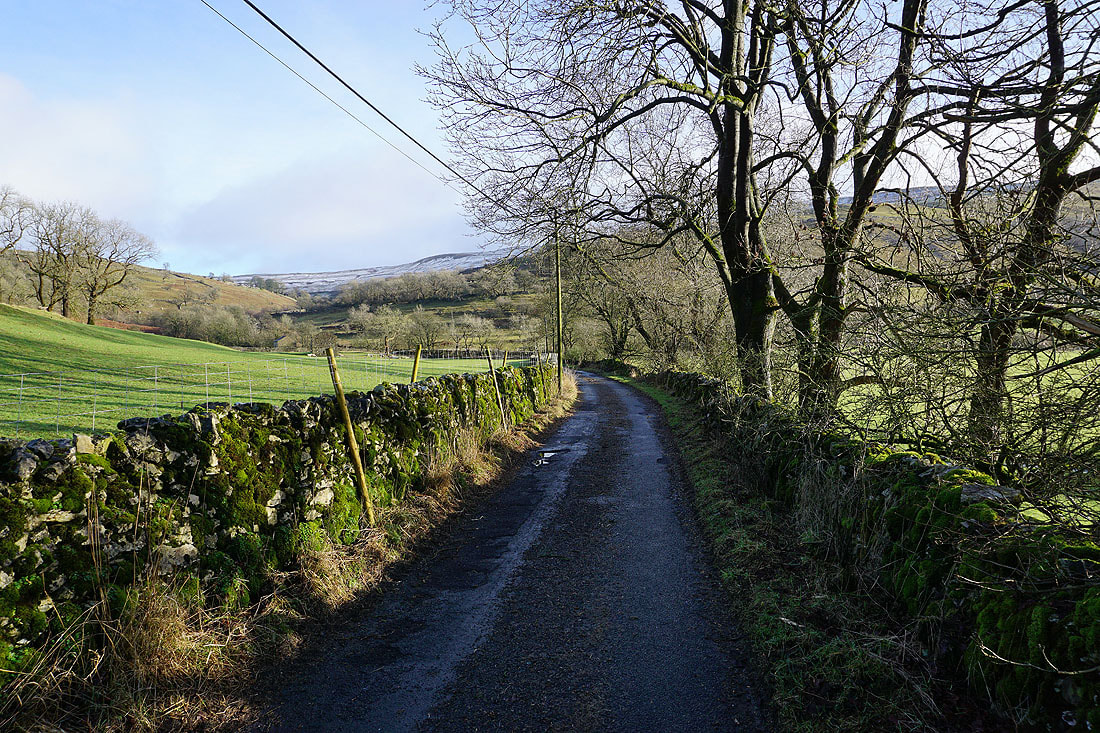
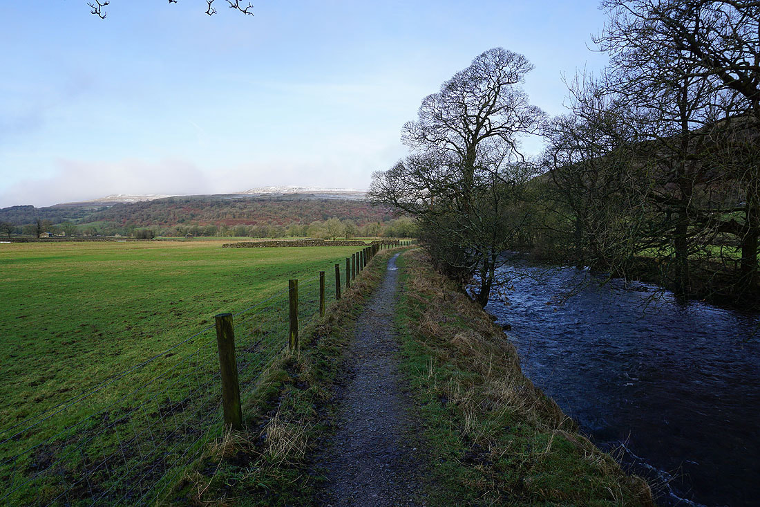
I left the road at Stubbing Bridge for a footpath by Cray Gill
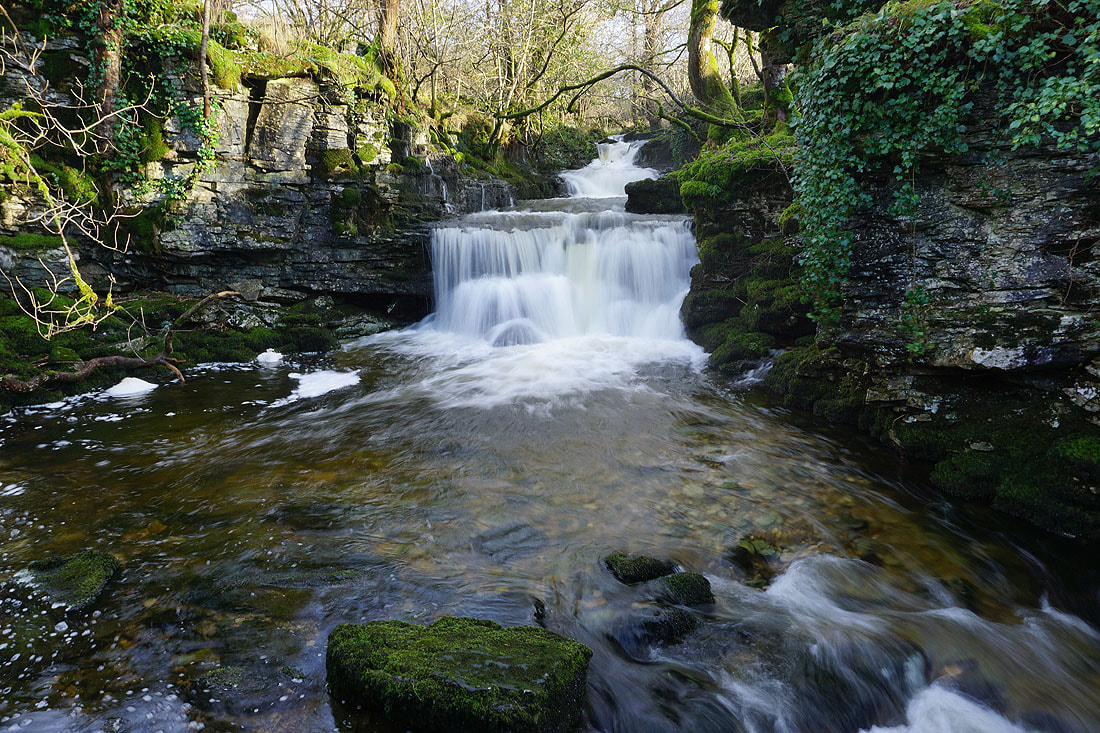
|
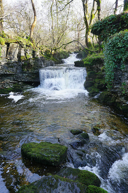
|
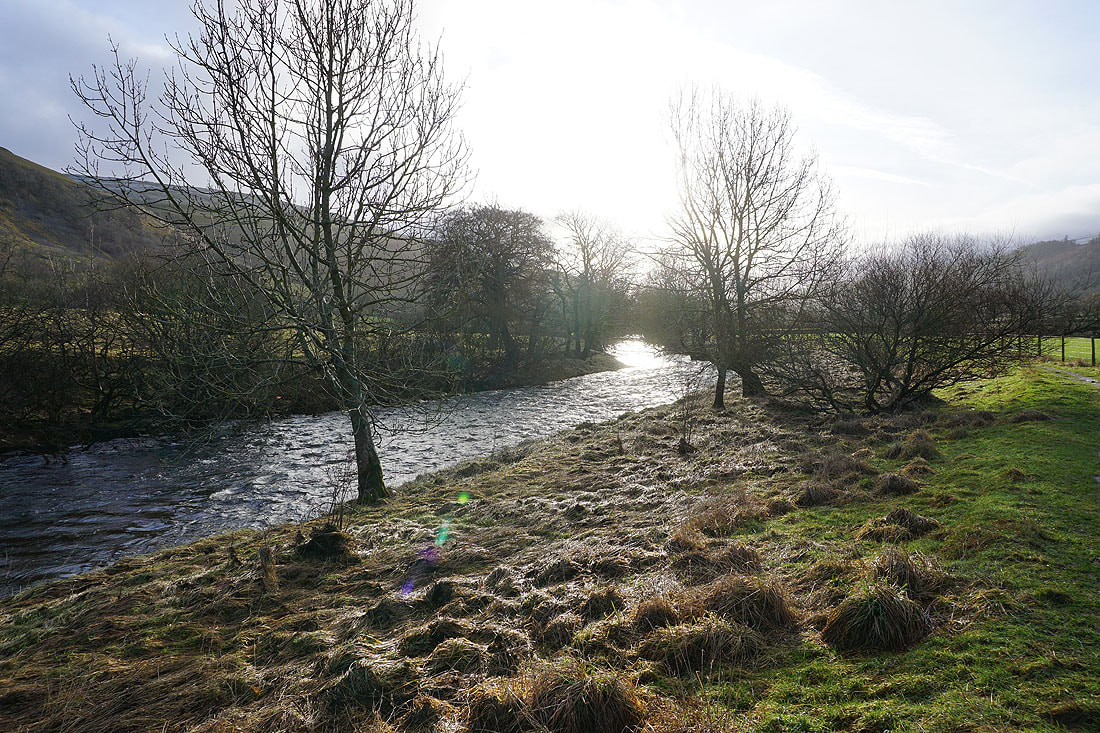
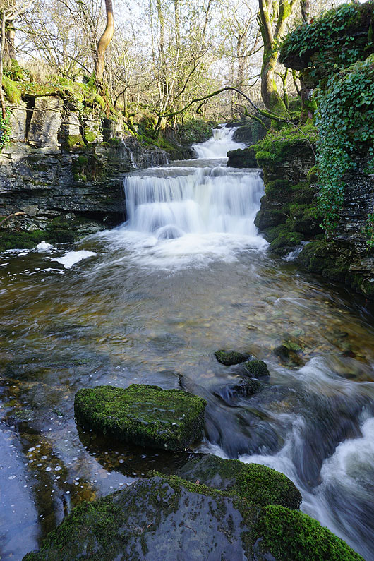
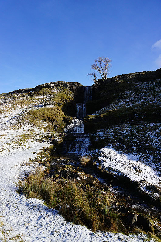
There are numerous waterfalls on Cray Gill, some are easier to see and get close to than others....
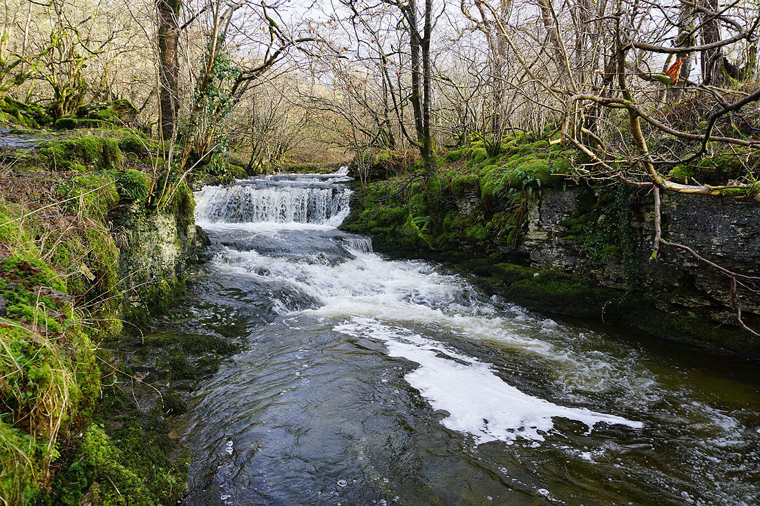
A waterfall on Crook Gill before it joins Cray Gill
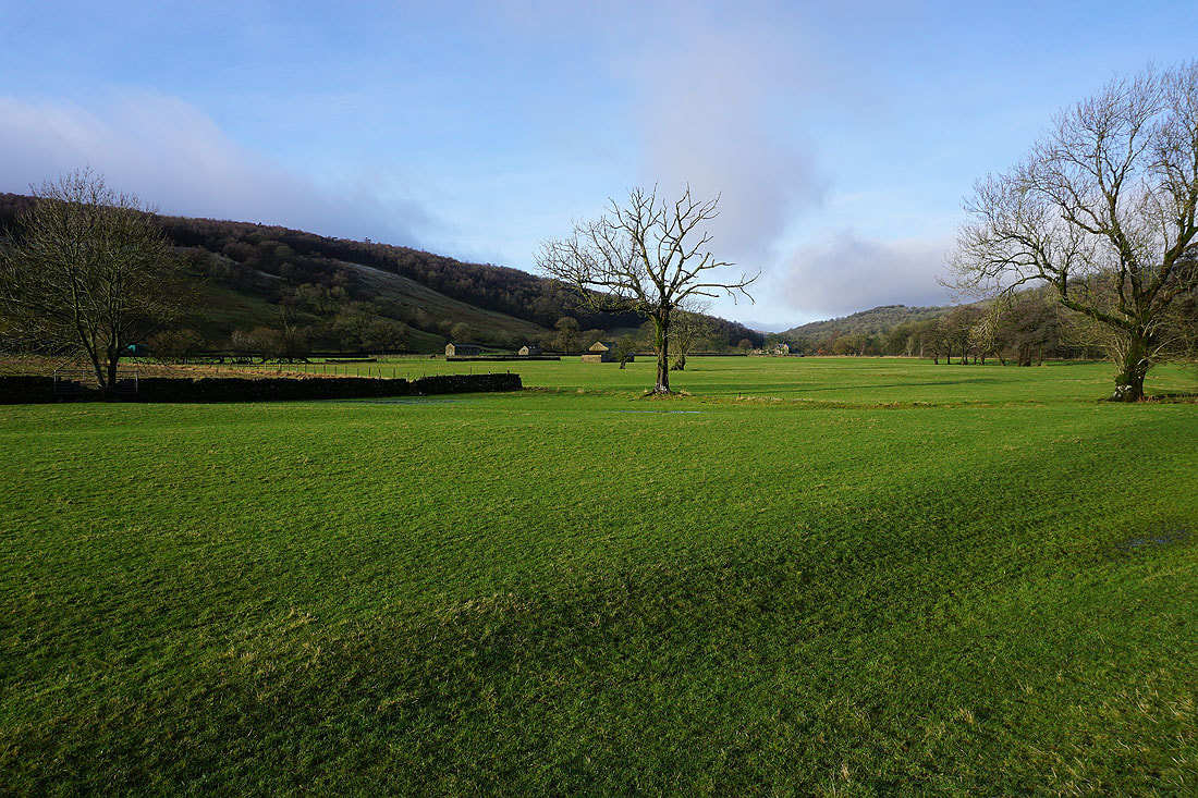
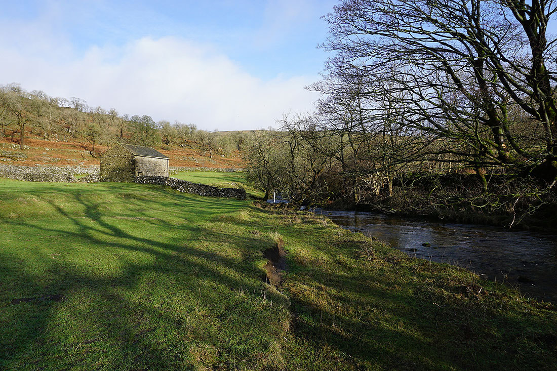
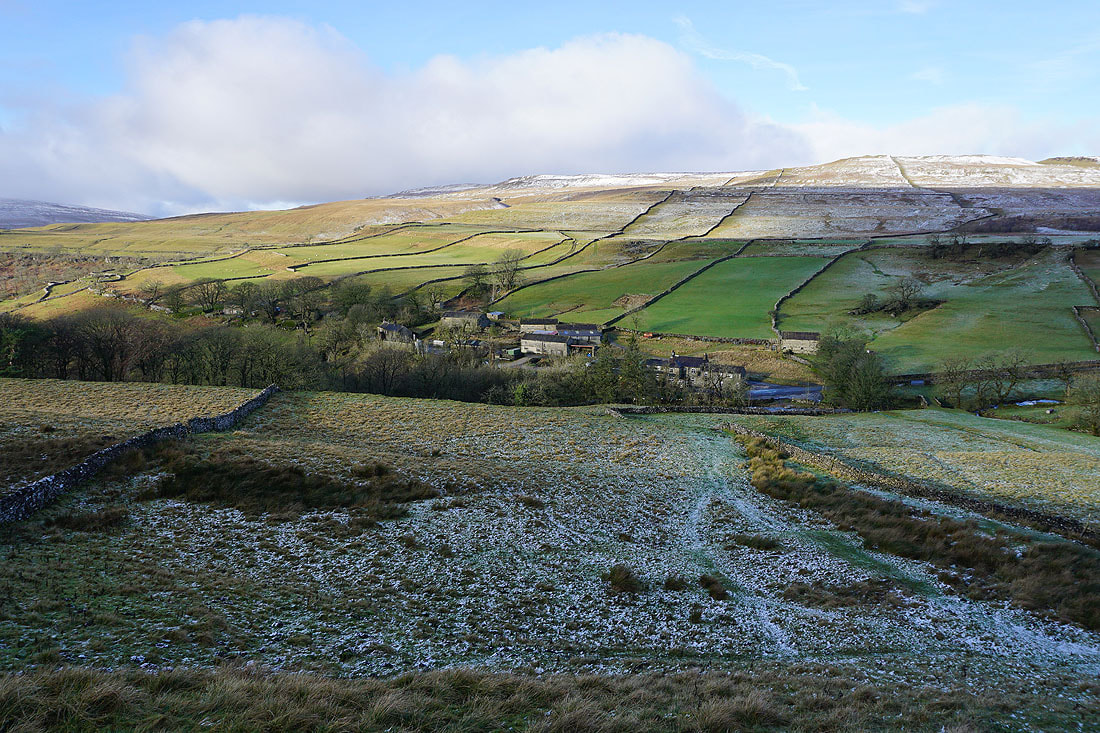
Looking back to Wharfedale as I reach Cray
The path reaches the road through Cray next to the White Lion Inn
Cray below as I reach the bridleway on Buckden Rake
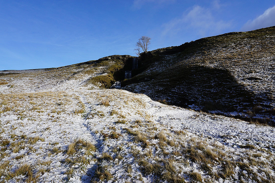
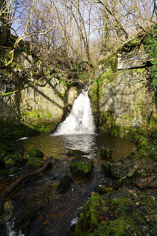
Before heading up Buckden Pike I make a short detour to see the waterfall of Cow Close Force..
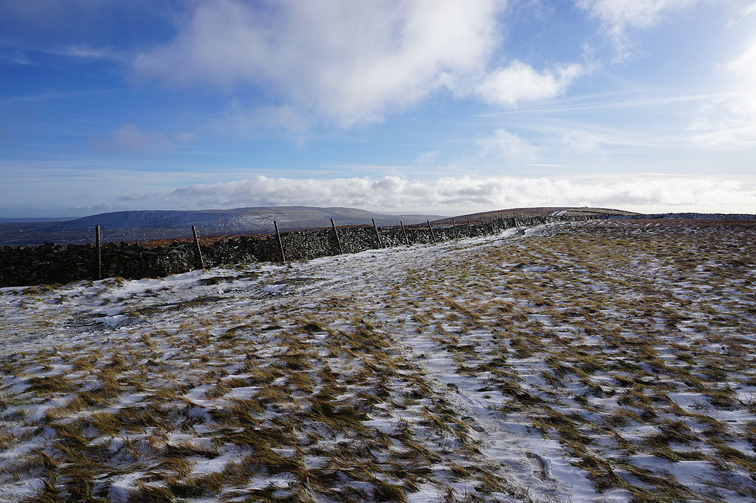
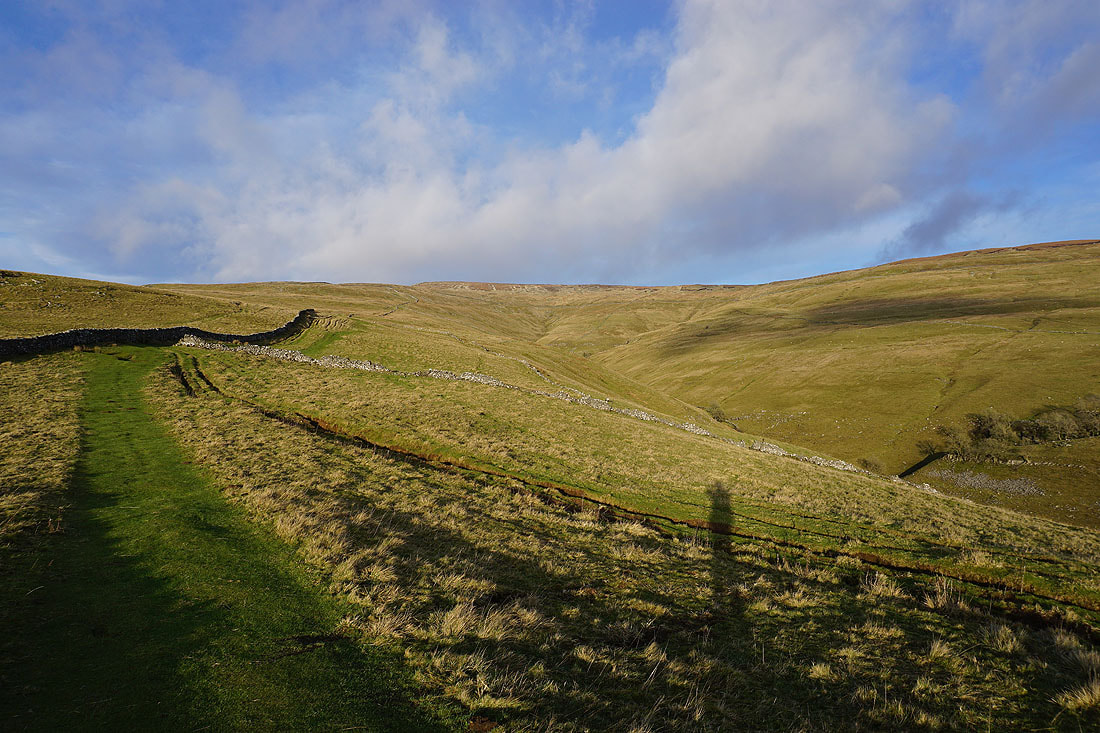
Looking across to Cray as I follow the bridleway south on Buckden Rake..
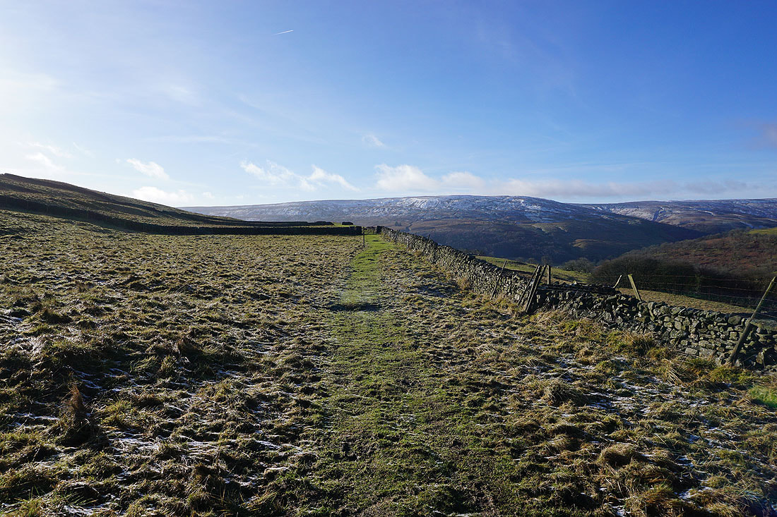
The road over to Bishopdale then Wensleydale
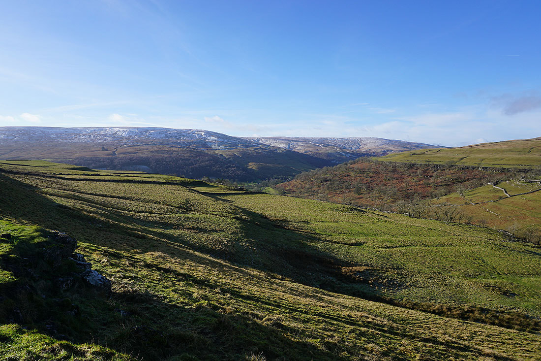
Horse Head Moor and Langstrothdale to the west
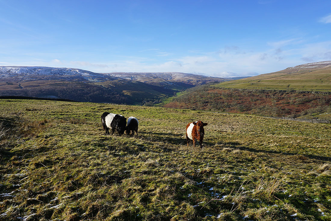
Belted Galloway cattle. Not bothered by my presence.
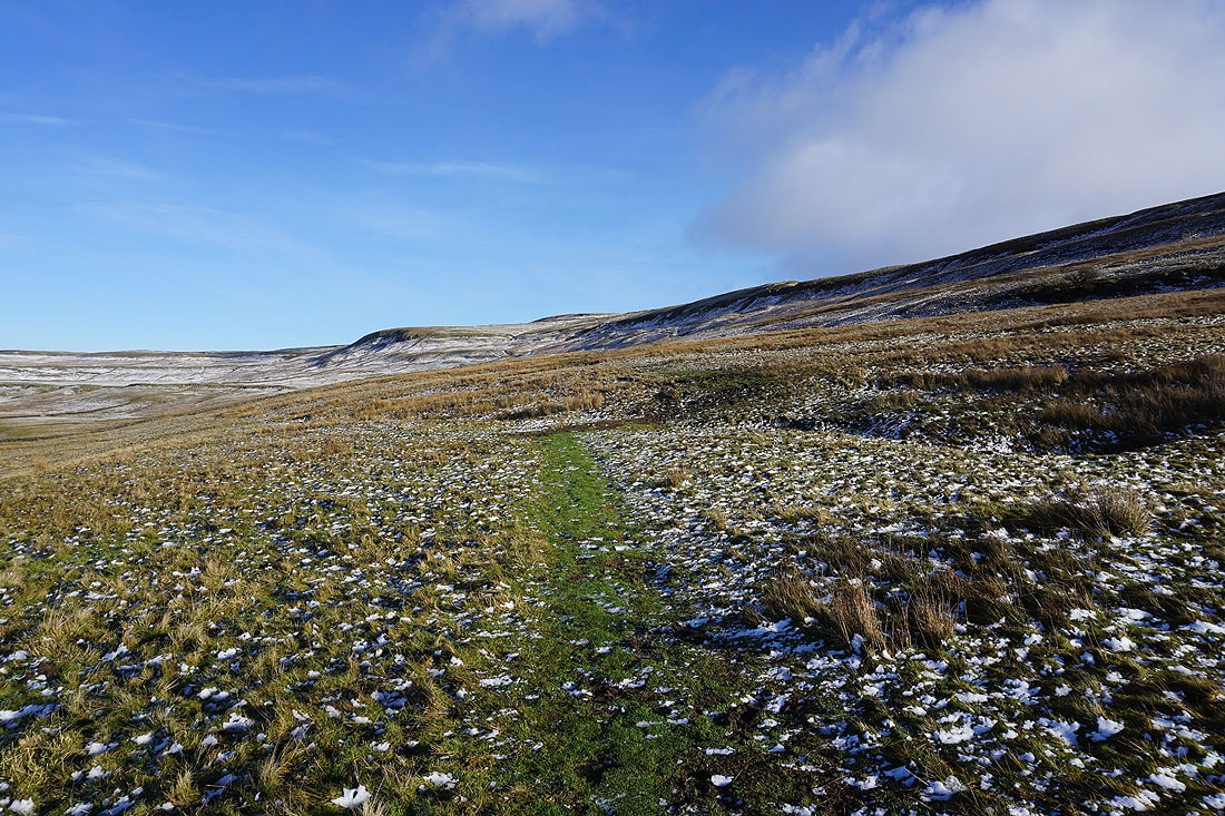
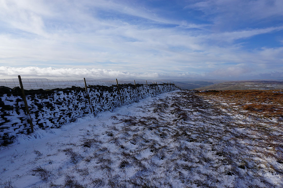
On the bridleway up Buckden Pike
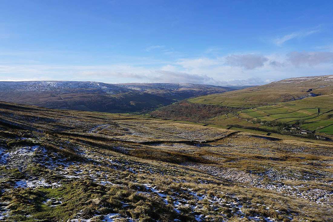
As I gain height there are improving views towards the moors around Langstrothdale behind me
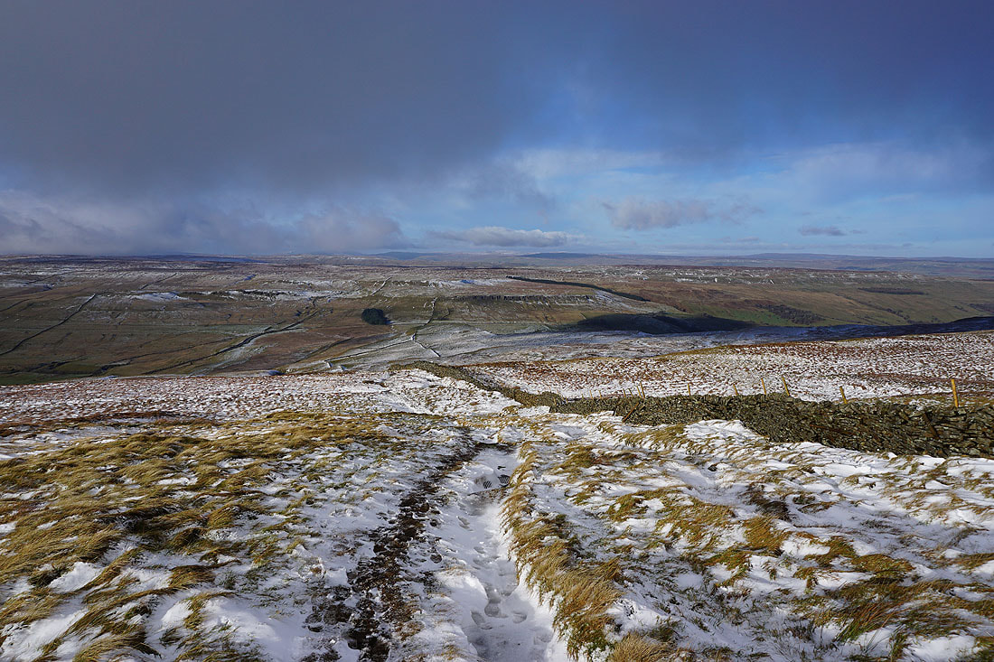
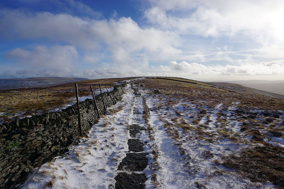
and as I near the top of Buckden Pike, the moors around Wensleydale and Bishopdale to the north and northeast..
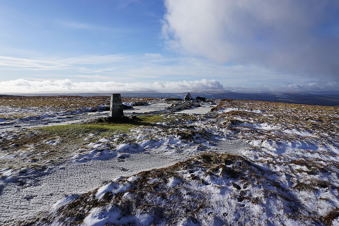
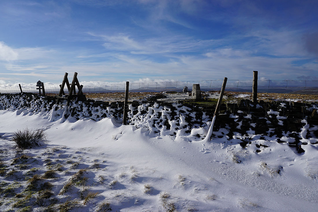
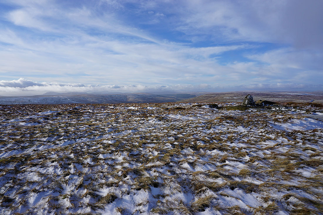
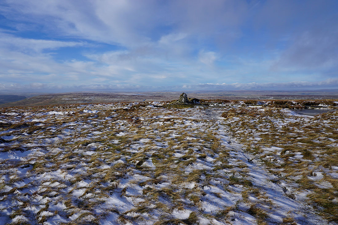
On the summit of Buckden Pike with its trig point and cairn
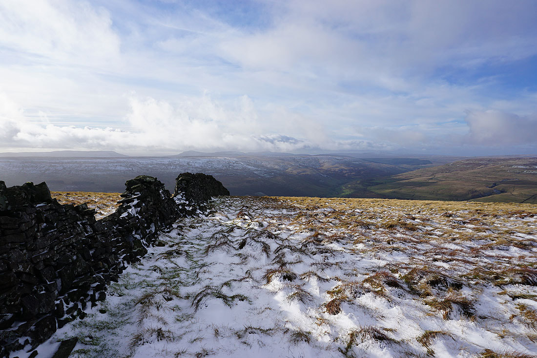
Horse Head Moor on the other side of Langstrothdale with Fountains Fell, Penyghent, Plover Hill, Ingleborough and Whernside in the distance
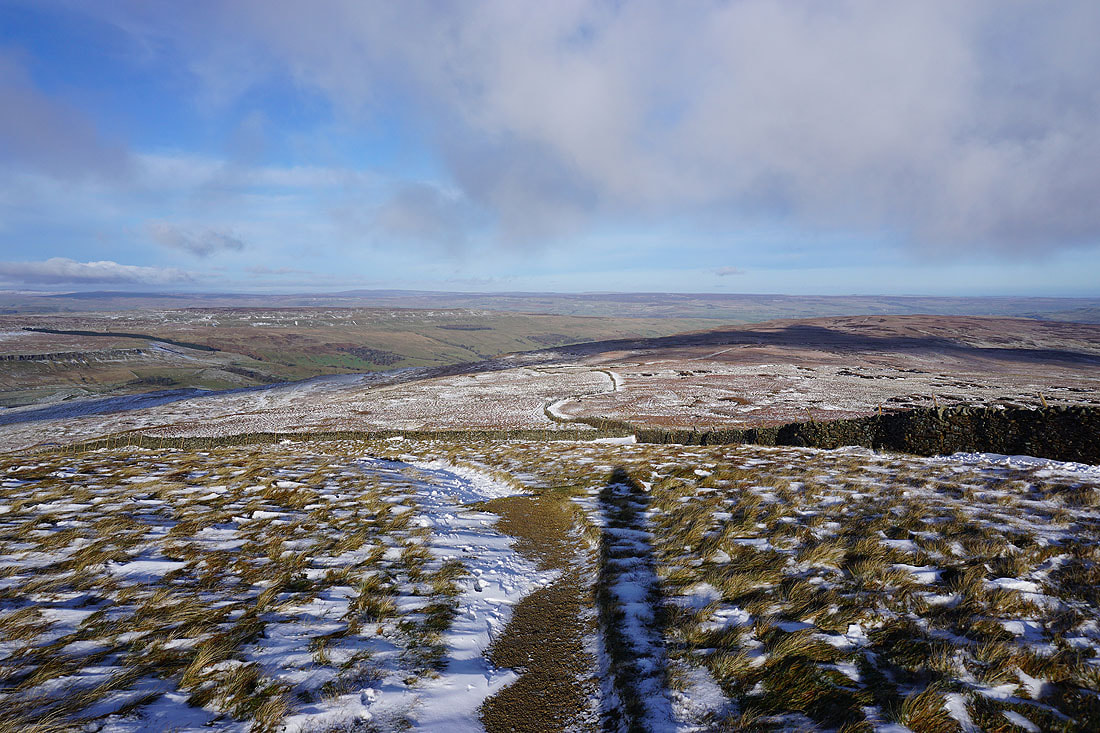
The summit ridge heads south with Great Whernside in the distance on the left
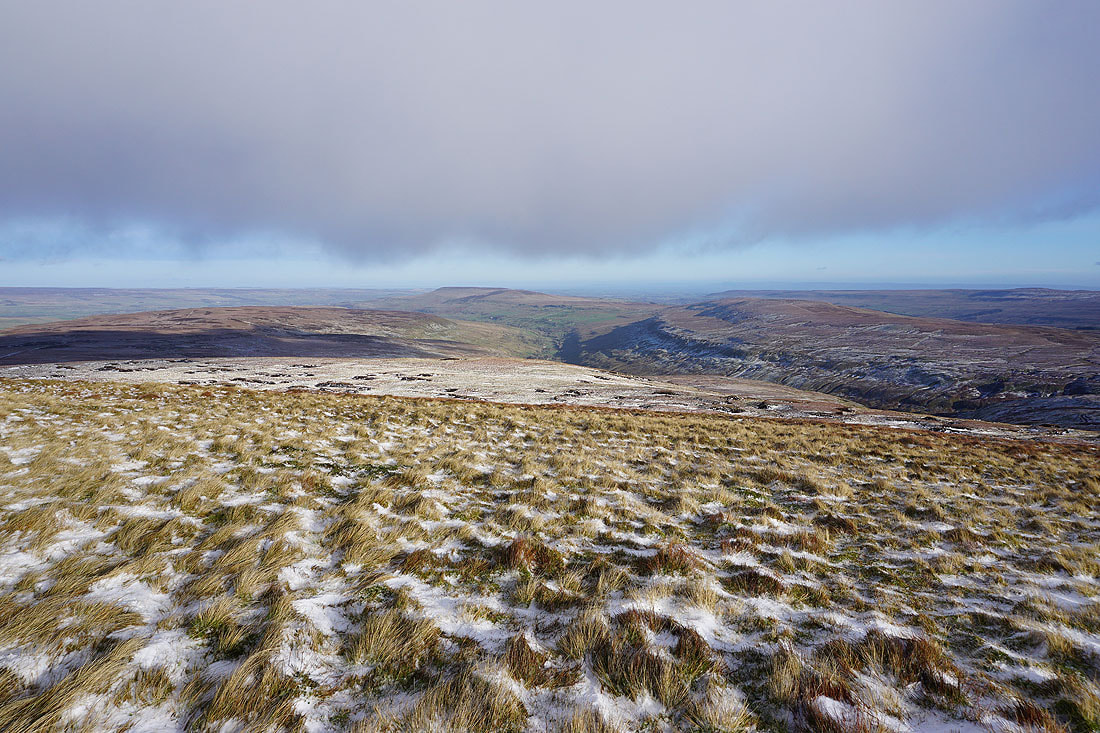
Looking northeast down the valley of Waldendale. The ridge on the right heads from Brown Haw to Penhill above Wensleydale.
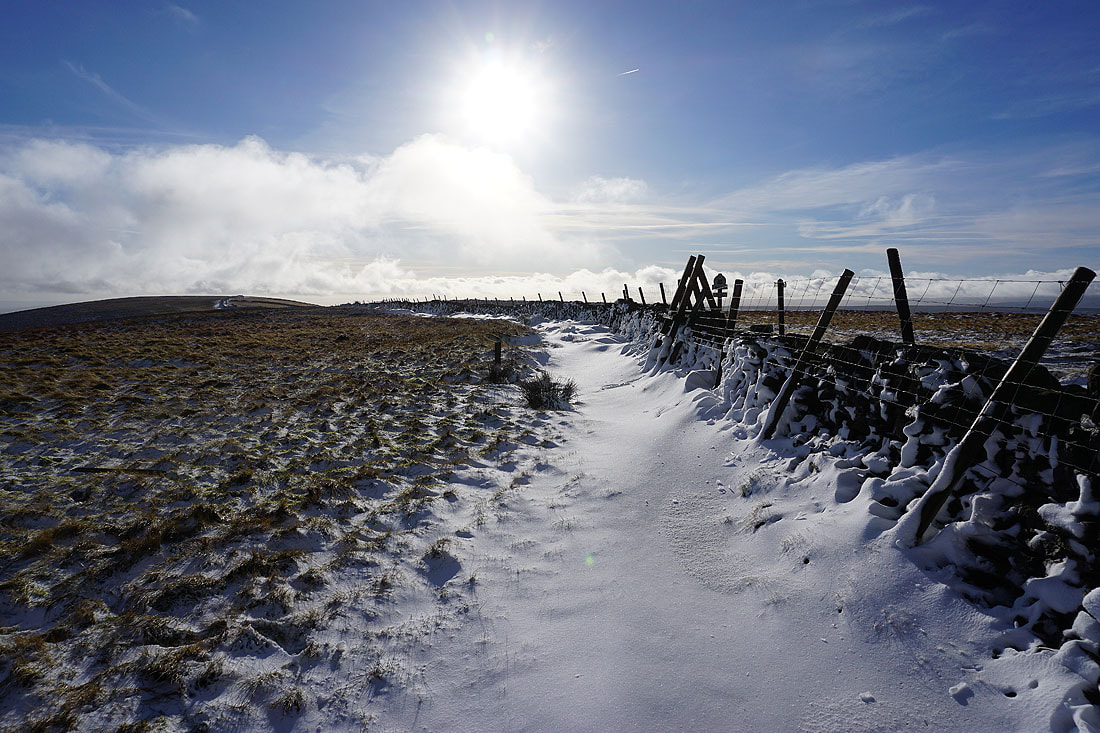
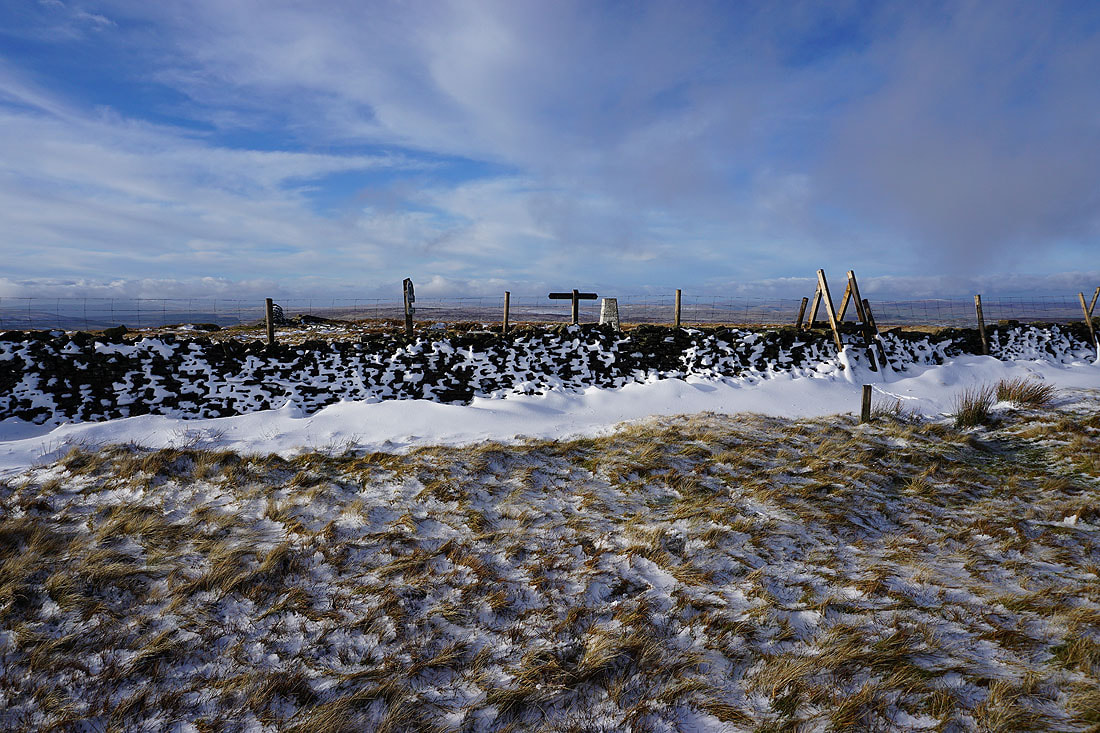
The wind must have been strong when it snowed up here last night. The only place where it's gathered to any depth is to the lee of the walls. It's also somewhere that I can get out of the wind and stop for lunch.
The drifted snow makes a good foreground for taking a couple of photos of the view looking over the wall..
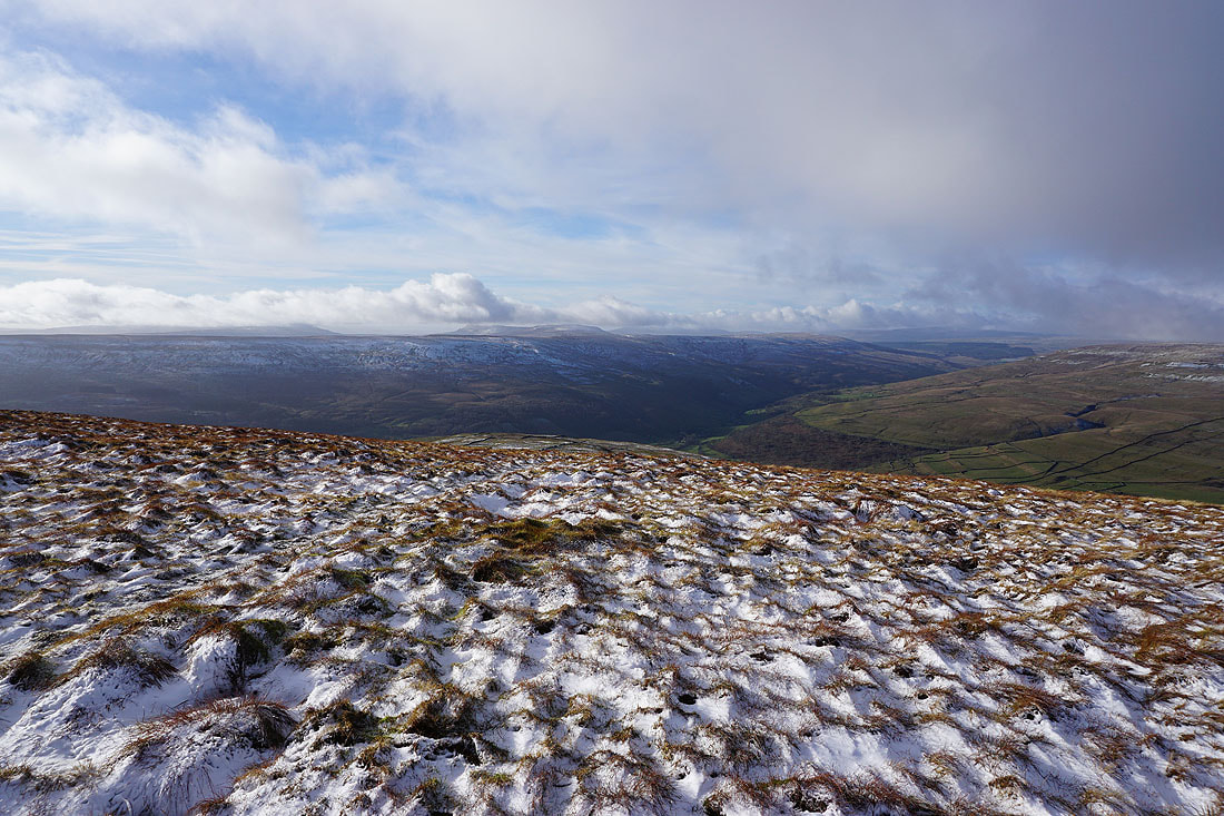
On the other side of the wall, and taking in the view to the west to Penyghent, Plover Hill, Ingleborough, Horse Head Moor, Whernside
Yockenthwaite Moor, Dodd Fell Hill, Wild Boar Fell, Great Shunner Fell, and Lovely Seat to the northwest
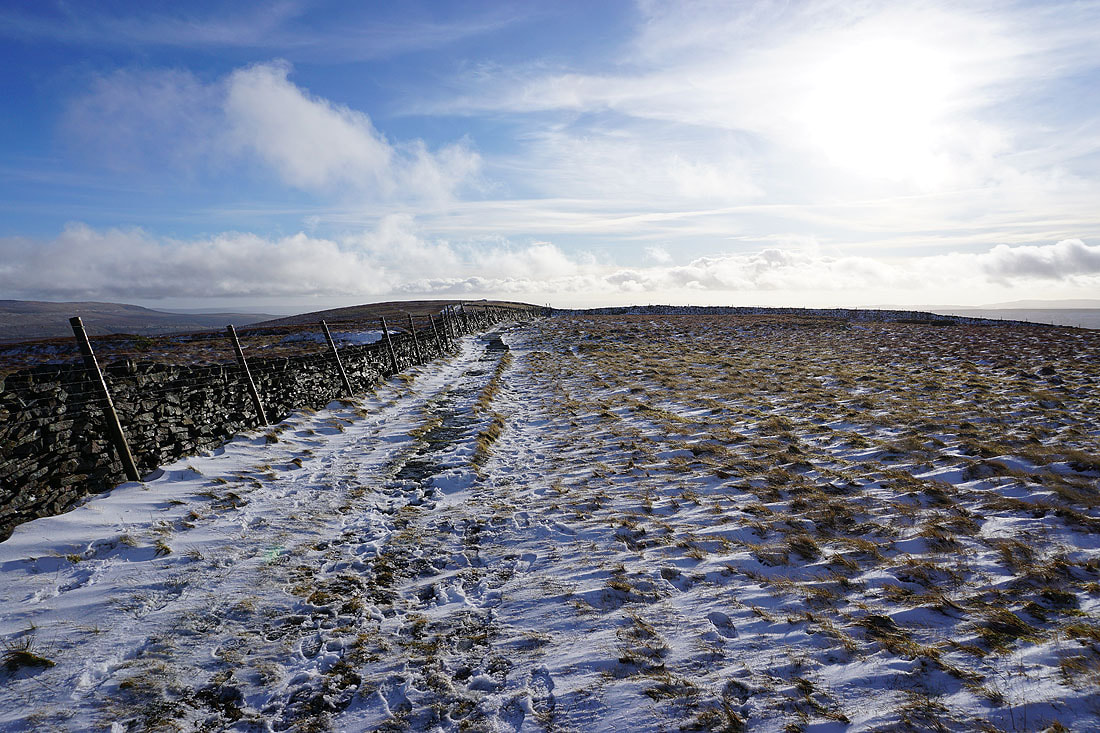
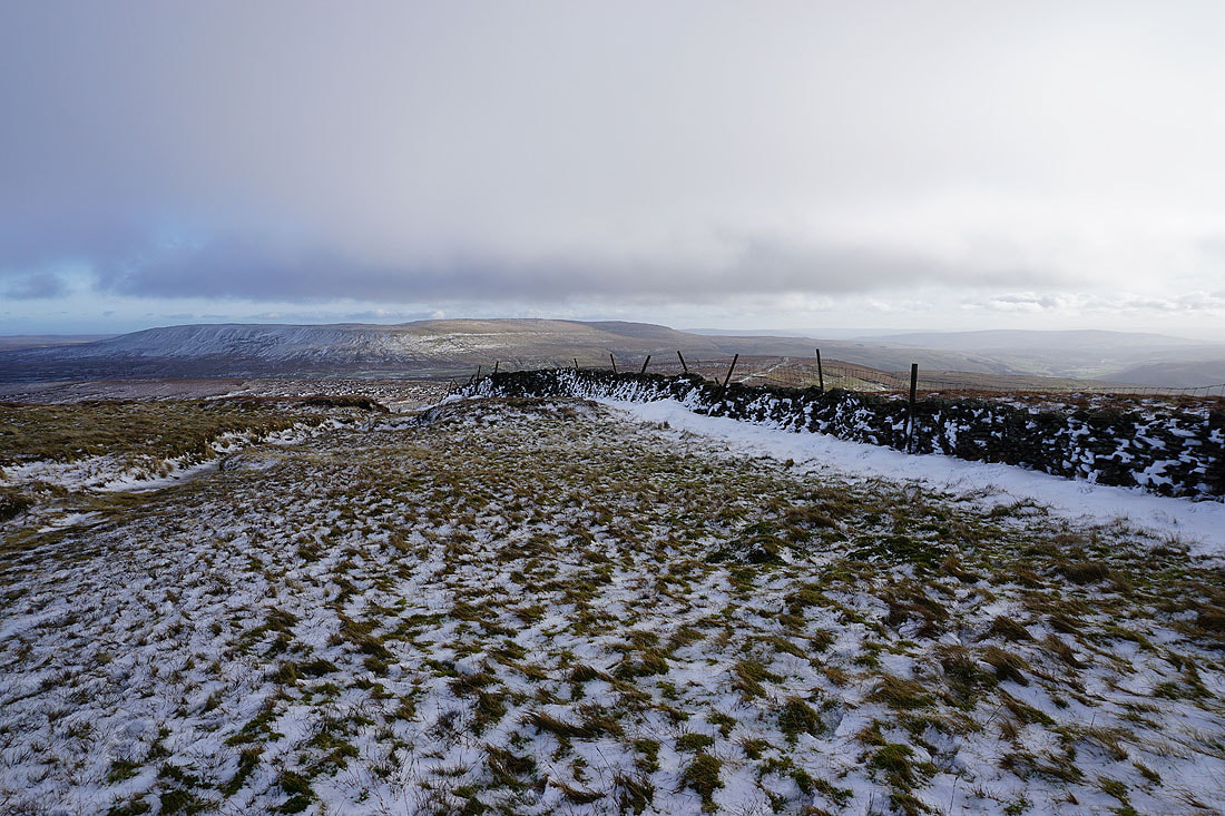
Heading south along the summit ridge, and snow covered walls make a good foreground for the view west to my right....
Looking back north along the summit ridge
Great Whernside in the distance as I reach the southern end of the summit ridge
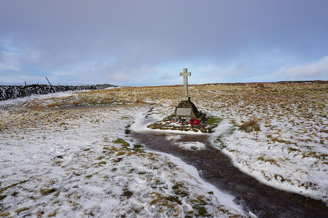
The war memorial at the southern end of the summit ridge
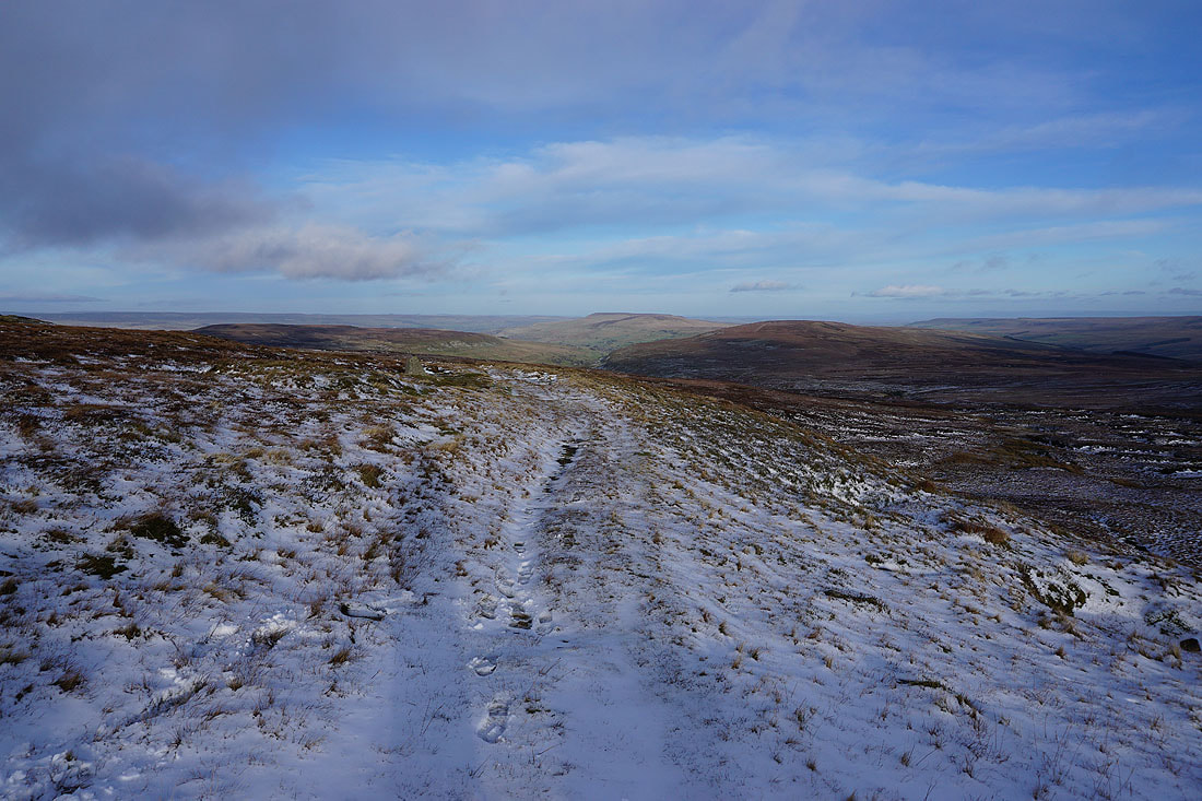
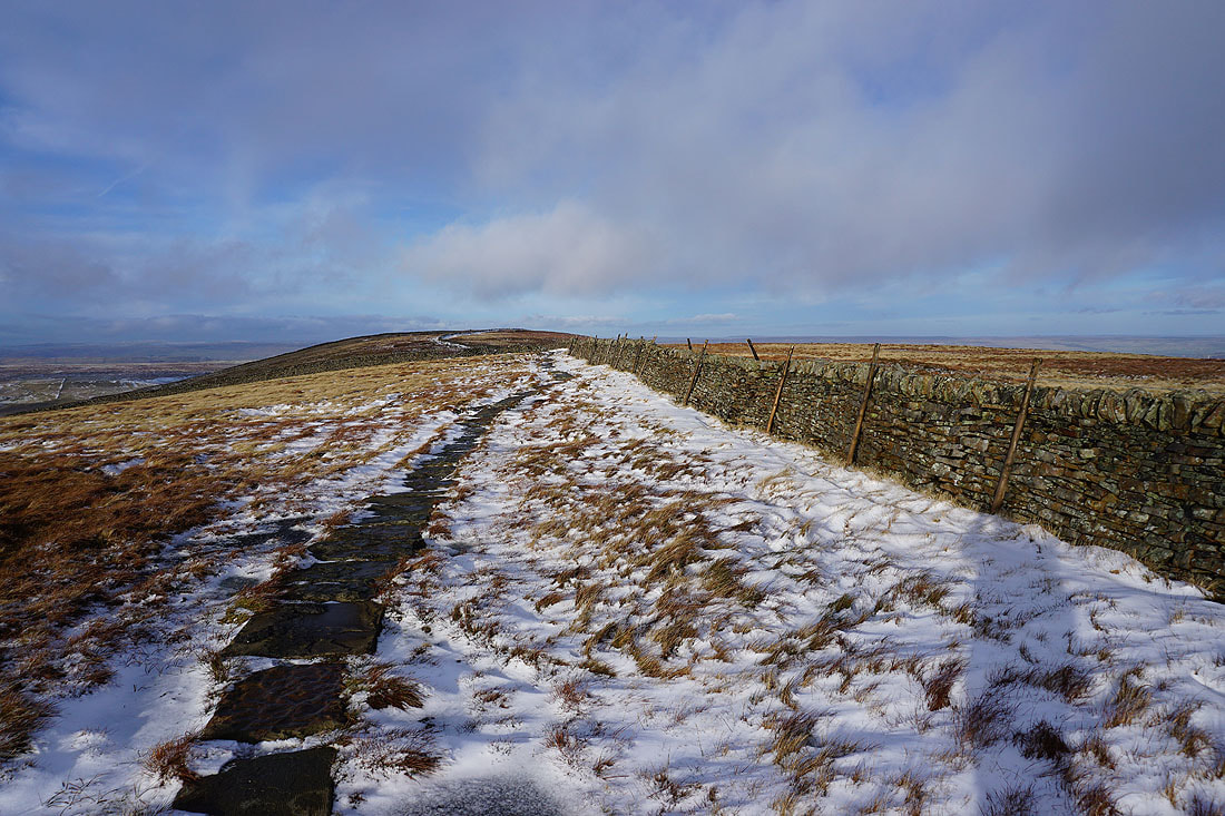
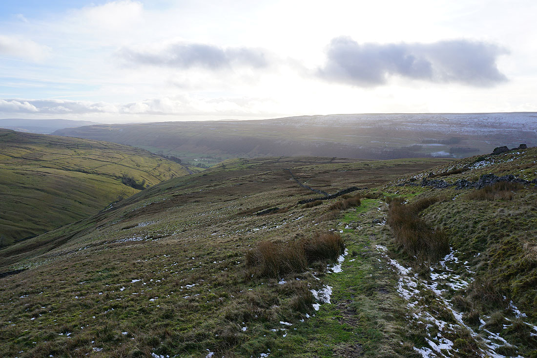
As I reach the bridleway of Walden Road I get a last glimpse northeast into the valley of Waldendale
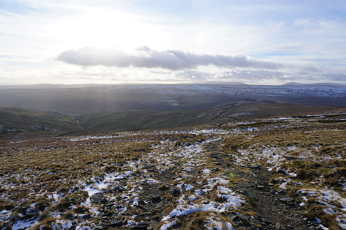
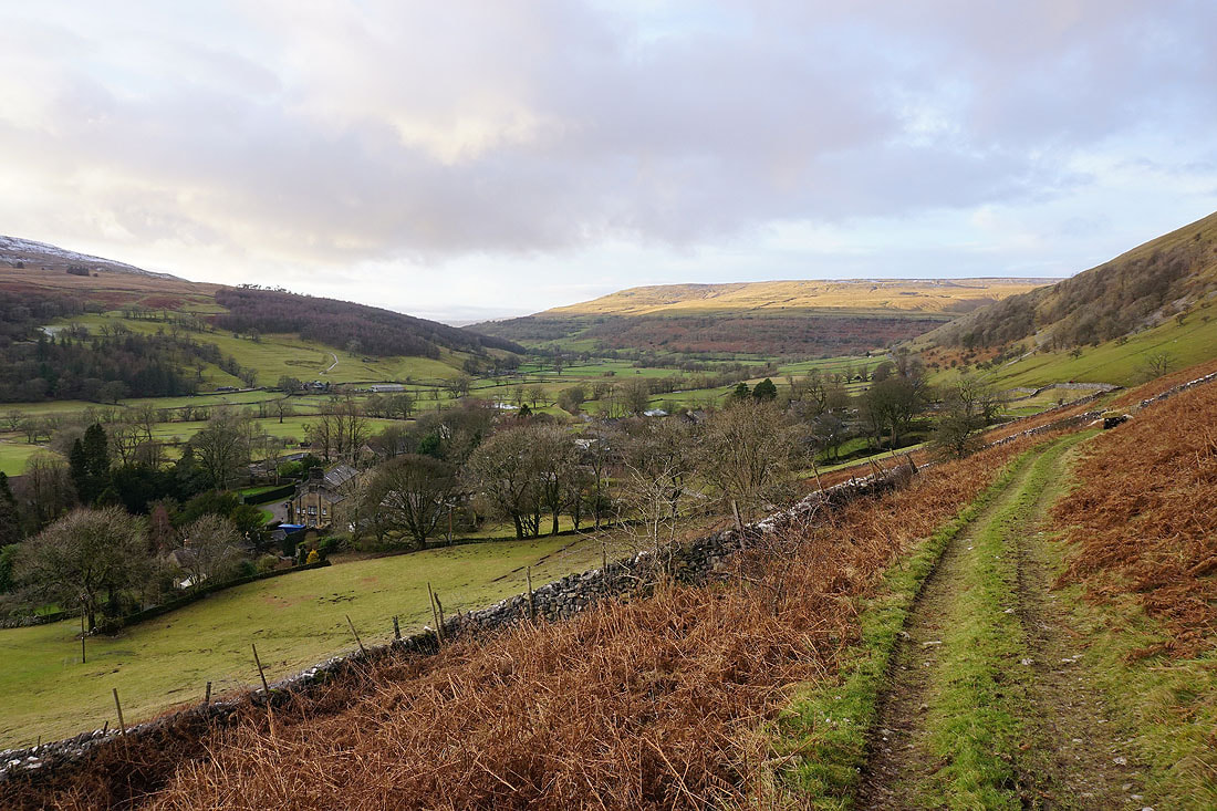
The bridleway heads downhill above the valley of Cam Gill Beck towards Starbotton..
Looking back up to the blue skies above a sunlit fellside
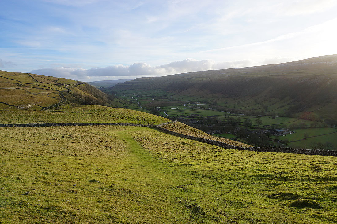
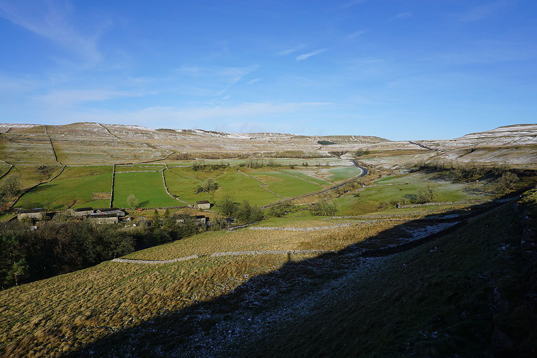
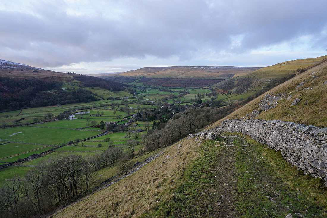
The village of Starbotton in Wharfedale. I've decided to stay in the sunshine for as long as I can by taking a hillside path back to Buckden. It left the bridleway at the wall corner below.
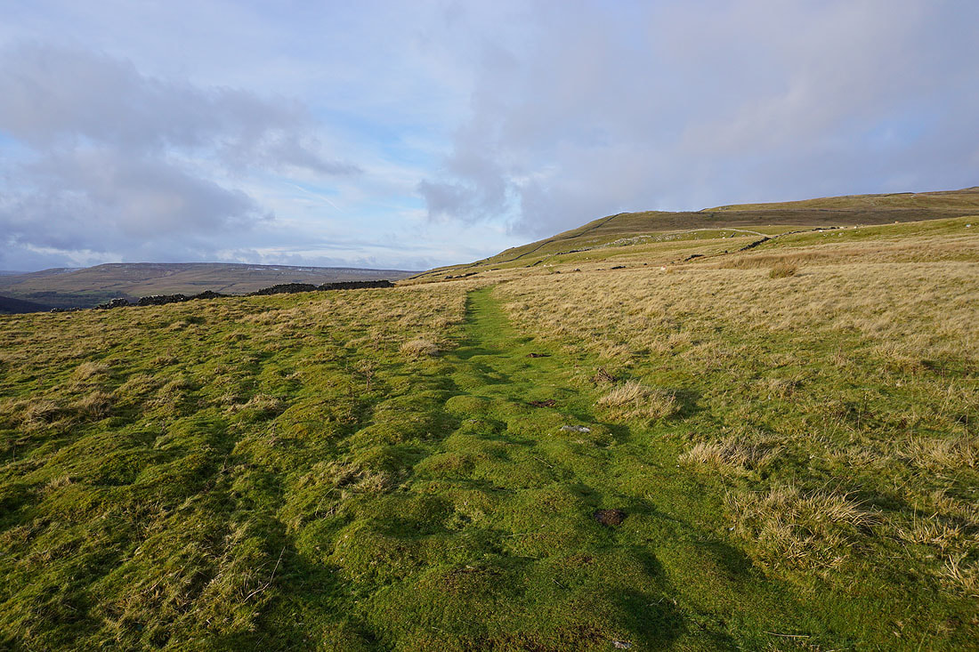
Following the path north up the hillside and Yockenthwaite Moor comes into view on the left
Heading back down to Buckden..