15th July 2009 - Low Fell and Fellbarrow
Walk Details
Distance walked: 9.8 miles
Total ascent: 2257 ft
OS map used: OL4 - The English Lakes, North-western area
Time taken: 6 hrs
Route description: Loweswater-Mosser Road-Darling Fell-Sourfoot Fell-Smithy Fell-Fellbarrow-Hatteringill Head-Fellbarrow-Watching Crag-Low Fell-Thackthwaite-Road back to Loweswater-Loweswater
Another couple of Wainwrights bagged today with Low Fell and Fellbarrow. After parking by Loweswater I walked south-east along the road before getting on the old road to Mosser to make the ascent to the summit of Darling Fell. From Darling Fell I then walked along the summit ridge across Sourfoot Fell and Smithy Fell to Fellbarrow. I made a detour to Hatteringill Head from Fellbarrow before heading for Low Fell via Watching Crag. After enjoying the view from from Low Fell I backtracked to Watching Crag and then took the path down to Thackthwaite. From Thackthwaite I then road walked back to Loweswater.
Route map
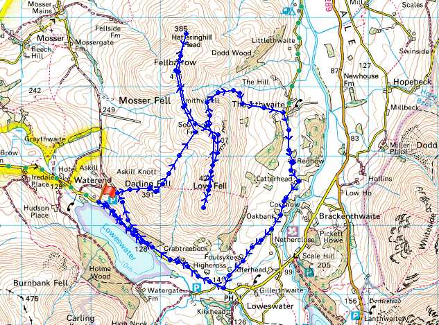
© Crown copyright. All rights reserved. License number PU 100034184.
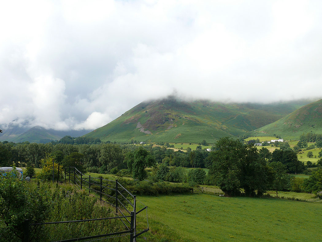
Cloud still on Carling Knott from Loweswater at the start of the walk
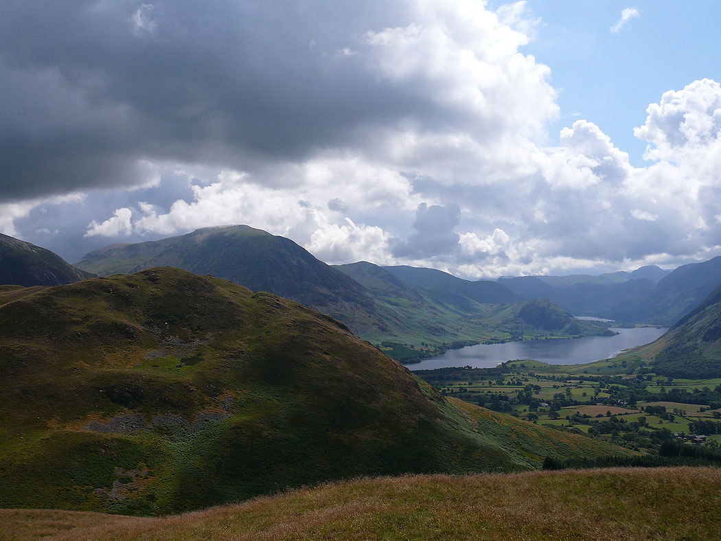
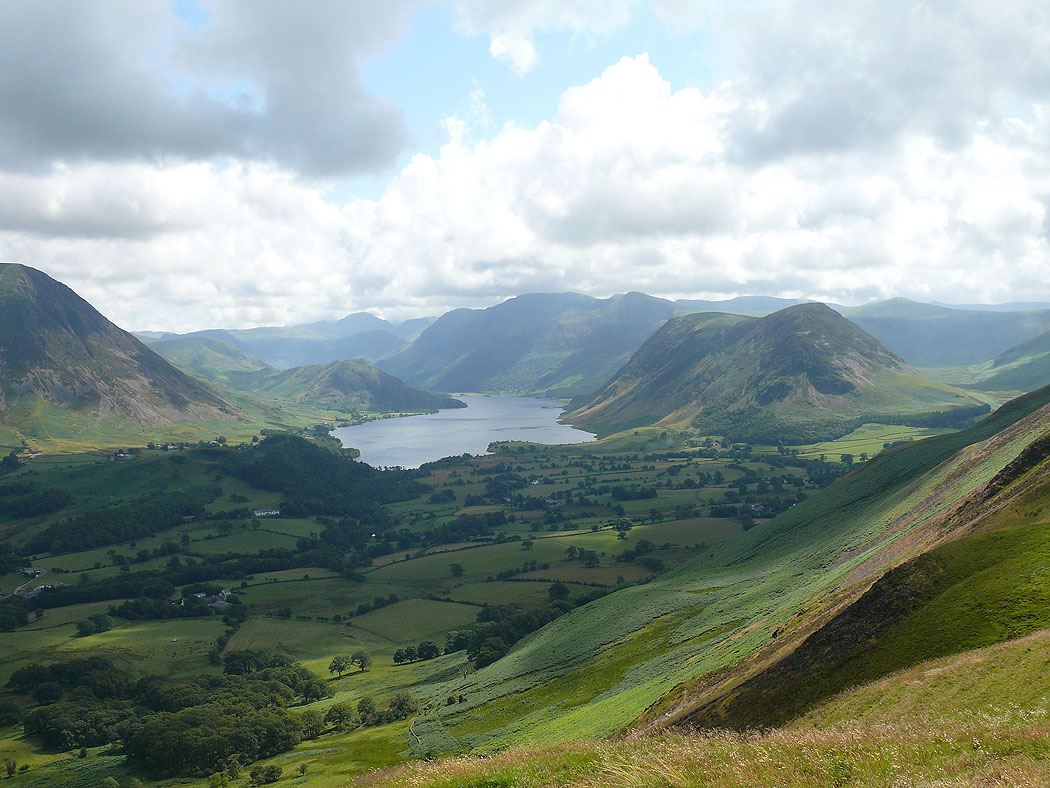
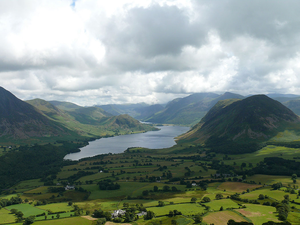
On the summit of Darling Fell and the cloud has lifted to reveal one of the best views in the Lakes up Crummock Water with Mellbreak to its right.
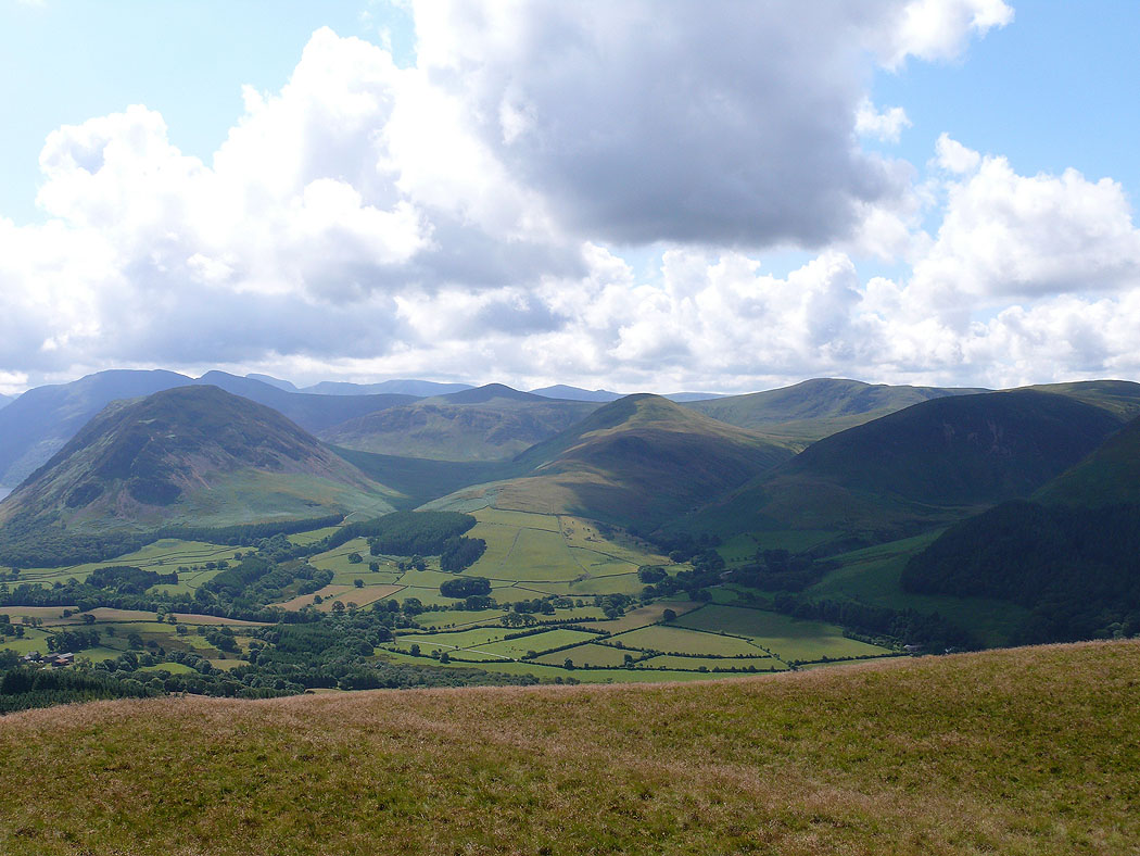
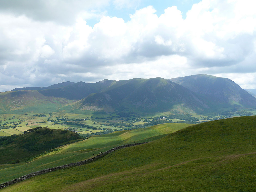
Mellbreak, Hen Comb and Carling Knott
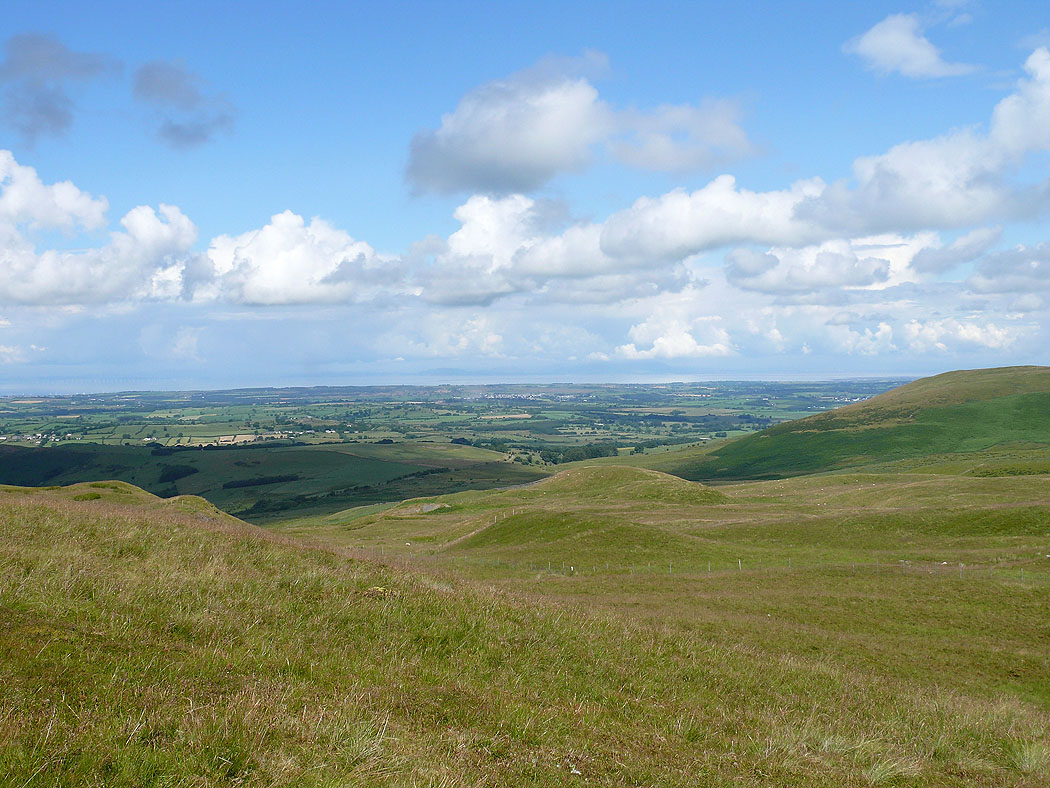
The view towards the Solway Firth
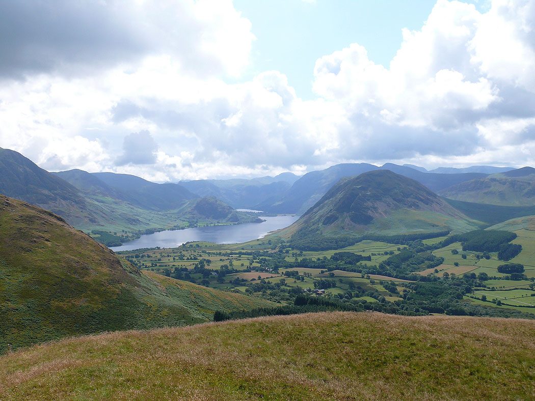
Low Fell with Grasmoor behind
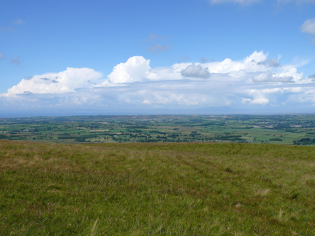
On the summit of Fellbarrow and the view towards the Solway Firth
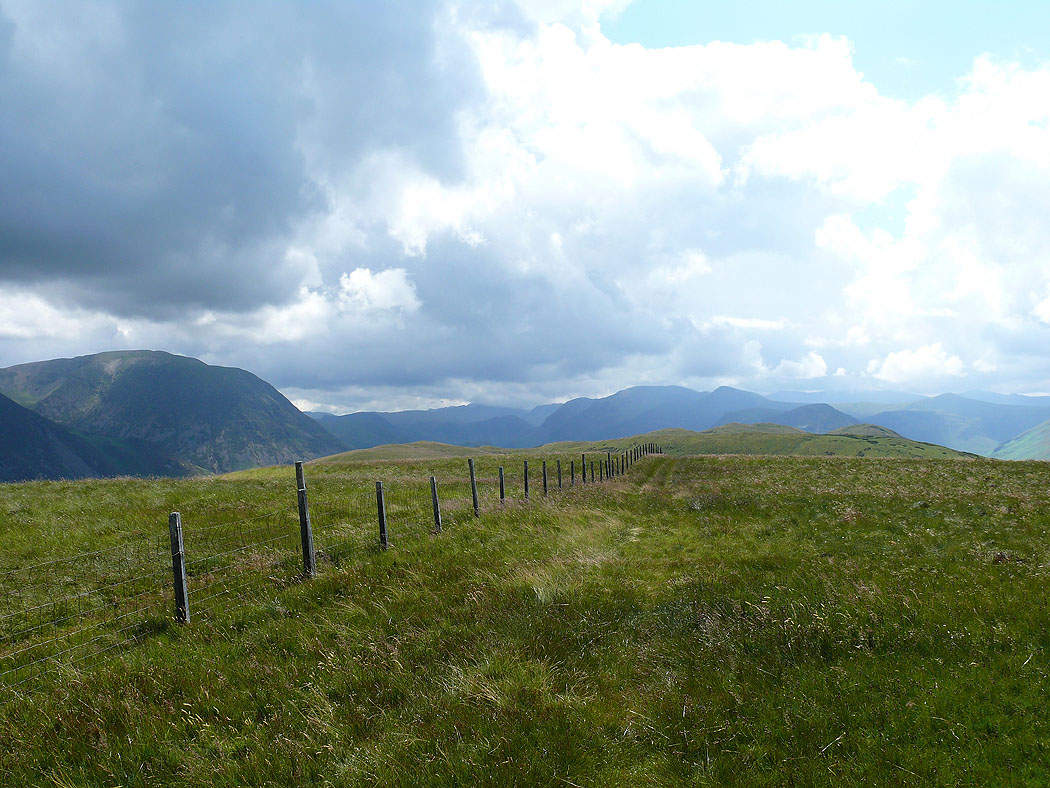
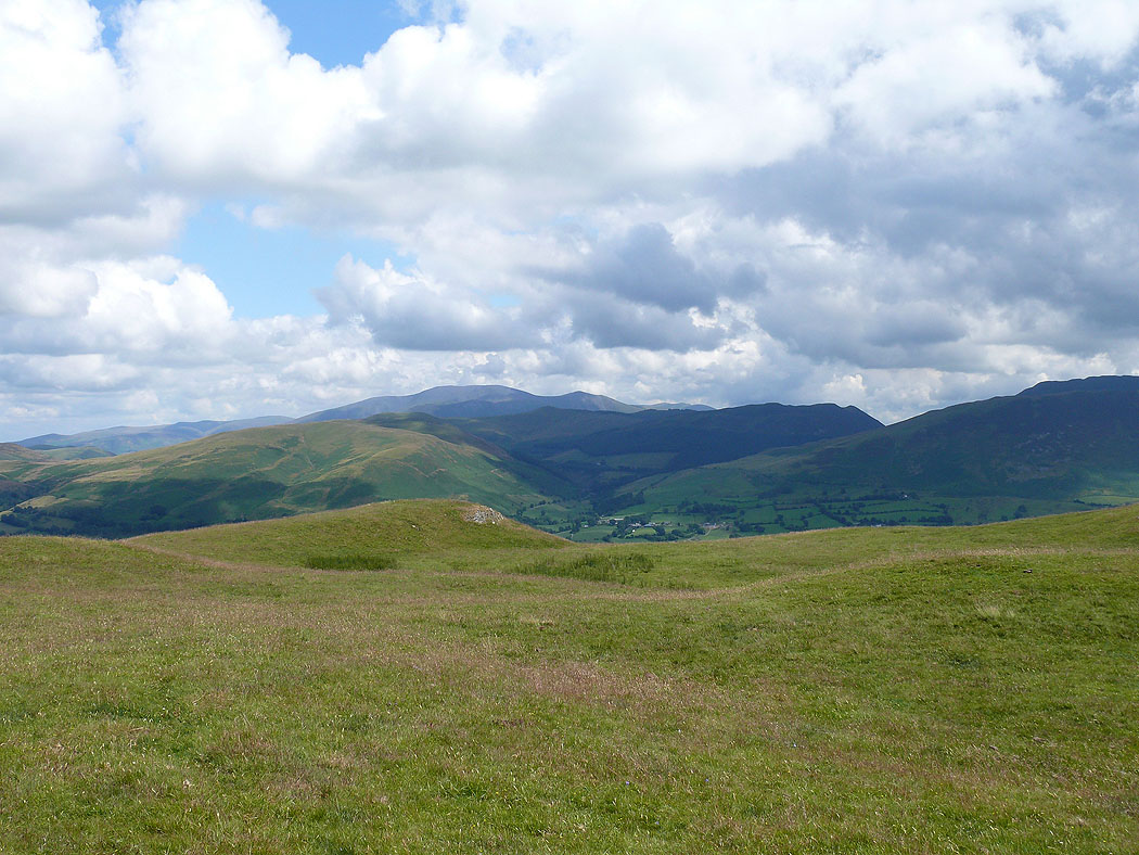
Back along the ridge to Low Fell
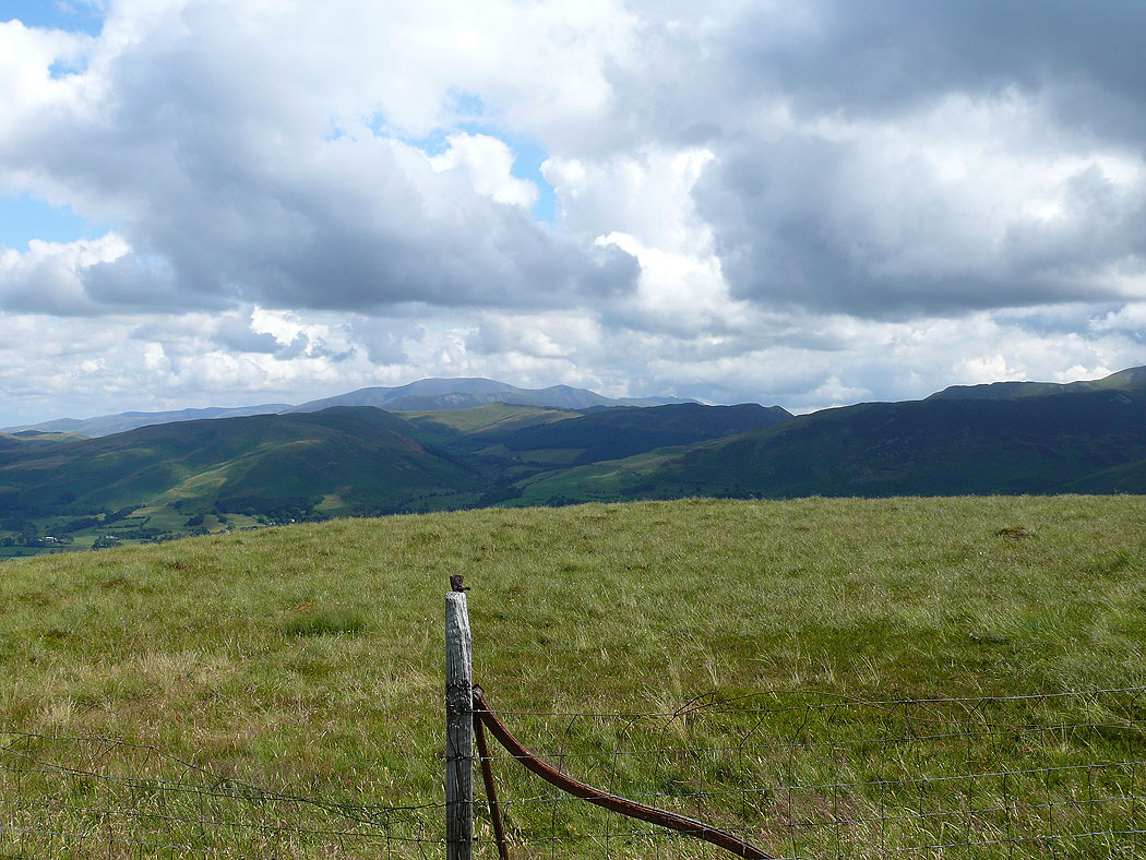
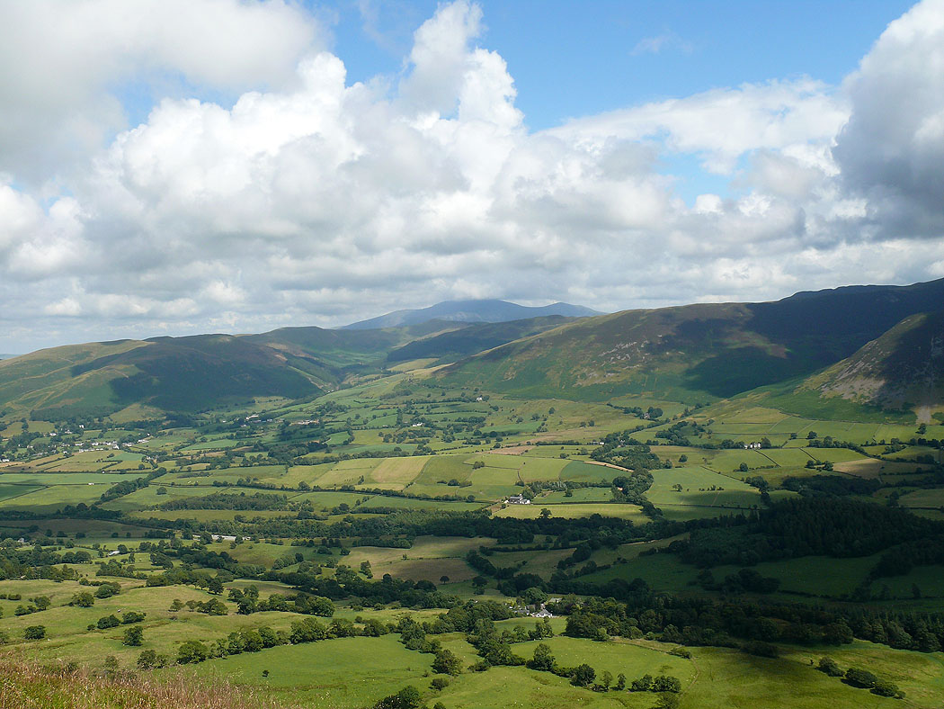
Skiddaw in the distance
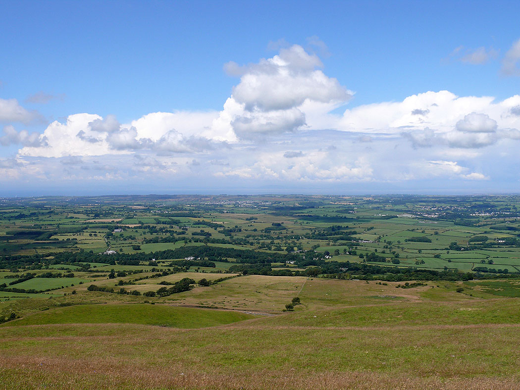
The Solway Firth from Hatteringill Head
The Whinlatter fells with Skiddaw behind
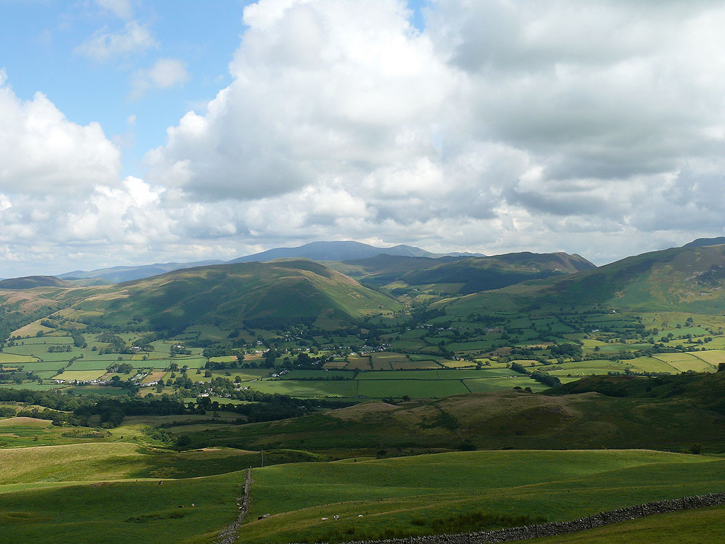
I'm on Watching Crag heading for Low Fell. The view across Lorton Vale to the Whinlatter fells.
Grisedale Pike, Hopegill Head, Whiteside and Grasmoor
On Low Fell and the view up Crummock Water and its surrounding fells
Across the Vale of Lorton

Another shot from a bit further south across the summit
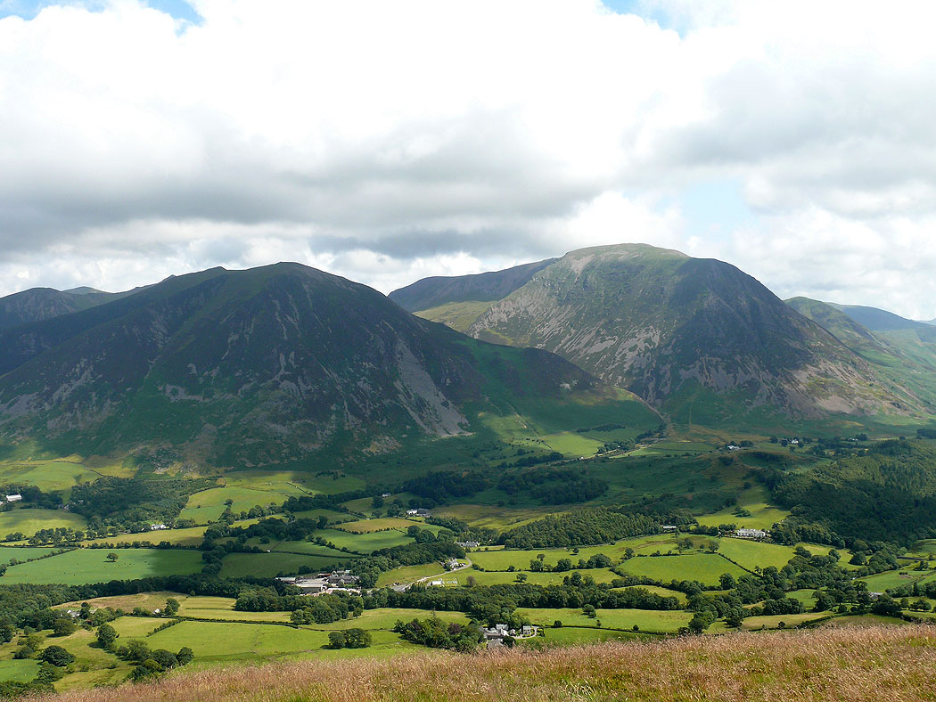
Whiteside and Grasmoor
The classic view up Crummock Water from Low Fell's south top
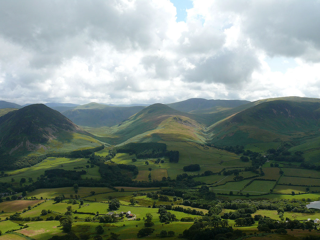
Mellbreak, Hen Comb and Carling Knott