15th July 2018 - Ramsden Clough and Dead Edge End
Walk Details
Distance walked: 11.7 miles
Total ascent: 1634 ft
OS map used: OL1 - The Peak District, Dark Peak area
Time taken: 5.5 hrs
Route description: Dunford Bridge-Winscar Reservoir-Harden Reservoir-Lower Snailsden Moss-Snailsden Edge-Snailsden Pike-Snailsden Pike End-Ruddle Clough-Ramsden Clough-Bailie Causeway Moss-Dead Edge End-Upper Head Dike-Trans Pennine Trail-Lady Cross-South Nab-Woodland Clough-Windle Edge-Dunford Bridge
It was about time that I got round to doing this walk. I've been meaning to visit Ramsden Clough and it had been on my "to do list" for some time, but I always seemed to find an excuse for going somewhere else and then I'd end up forgetting about it. With the recent weather there are no excuses, it's been perfect for tackling this moorland walk. I had been concerned about just how wet underfoot the moorland ridge would be but it had been baked dry by all the hot and sunny weather. It was another beautiful summer's day for being out on the moors with lots of warm sunshine and a gentle breeze.
From the car park at Dunford Bridge I started by walking up the road to reach the access road to Winscar Reservoir, then across its dam, then north along its other access road and up the road to Harden. I then left the road to head down to the dam of Harden Reservoir. I followed the path west above the south shore of the reservoir and then south across Lower Snailsden Moss to a dry-stone wall where I picked up the path west along Snailsden Edge. After doing a there and back to the trig point on Snailsden Pike the path turned north at Snailsden Pike End to reach the top of Ruddle Clough, and the path south along the top of Ramsden Clough. When the path goes to cross the brook by lines of grouse butts I left it to make my way up to the fence line to the south, which I then followed south and east to the trig point on Dead Edge End. I continued east by the fence until it did a sharp right turn, I left it behind and crossed the moor aiming for a pillar to the southeast. When I reached the pillar I picked up the track running along the line of the Woodhead Tunnels and followed it south down into the valley of Upper Head Dike and out to the road to Dunford Bridge and the A628. I crossed the A628 onto the Trans Pennine Trail. I followed this south and then west down to the packhorse bridge over Salter's Brook before retracing my steps back east and across the moor past Lady Cross to reach the A628, which I crossed again. Once safely across I picked up the bridleway north (with a detour to the trig point on South Nab), down into Woodland Clough and up to the road on Windle Edge, where I was left with a walk down the road back to Dunford Bridge and the car park.
Route map
© Crown copyright. All rights reserved. License number PU 100034184.
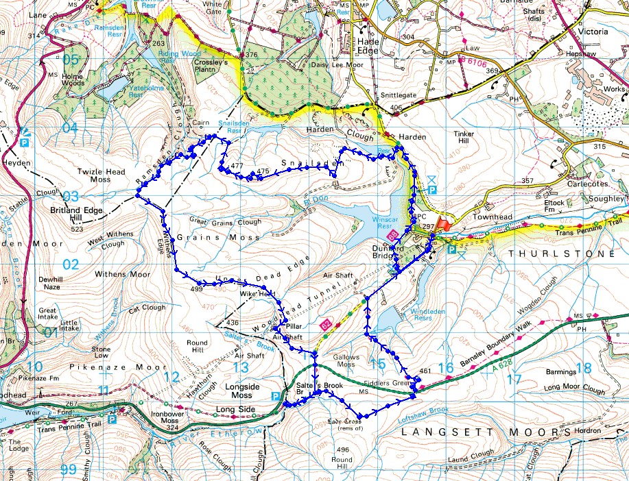
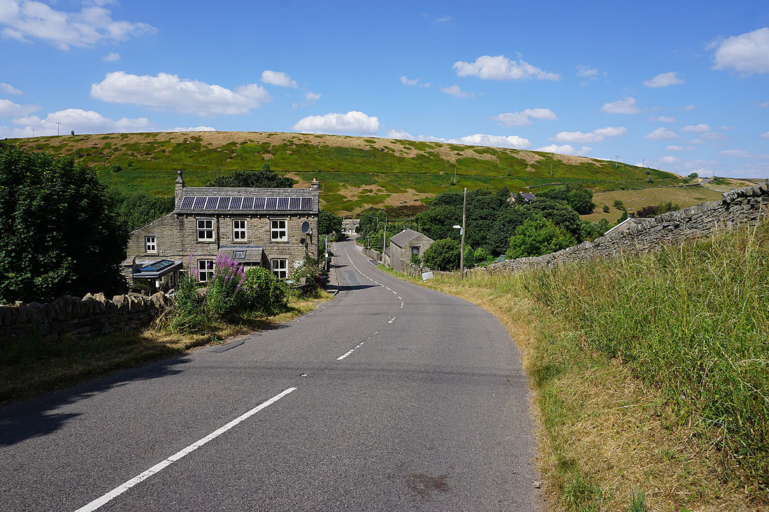
Looking down the valley of the infant River Don from Dunford Bridge
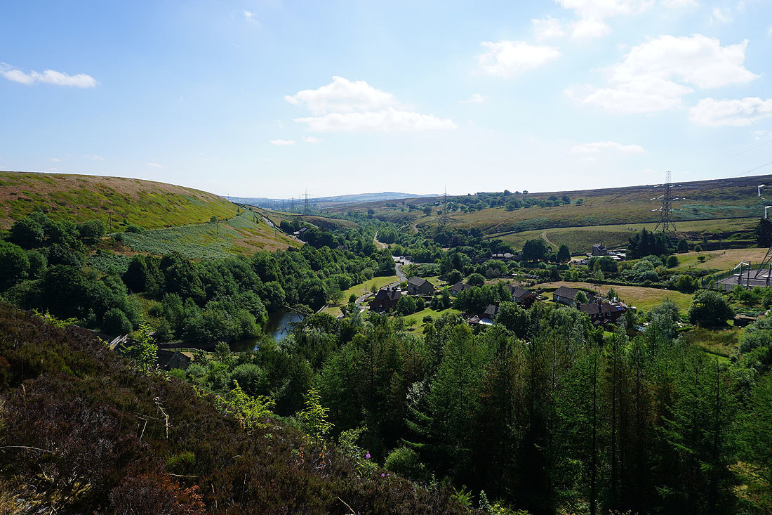
Above Winscar Reservoir
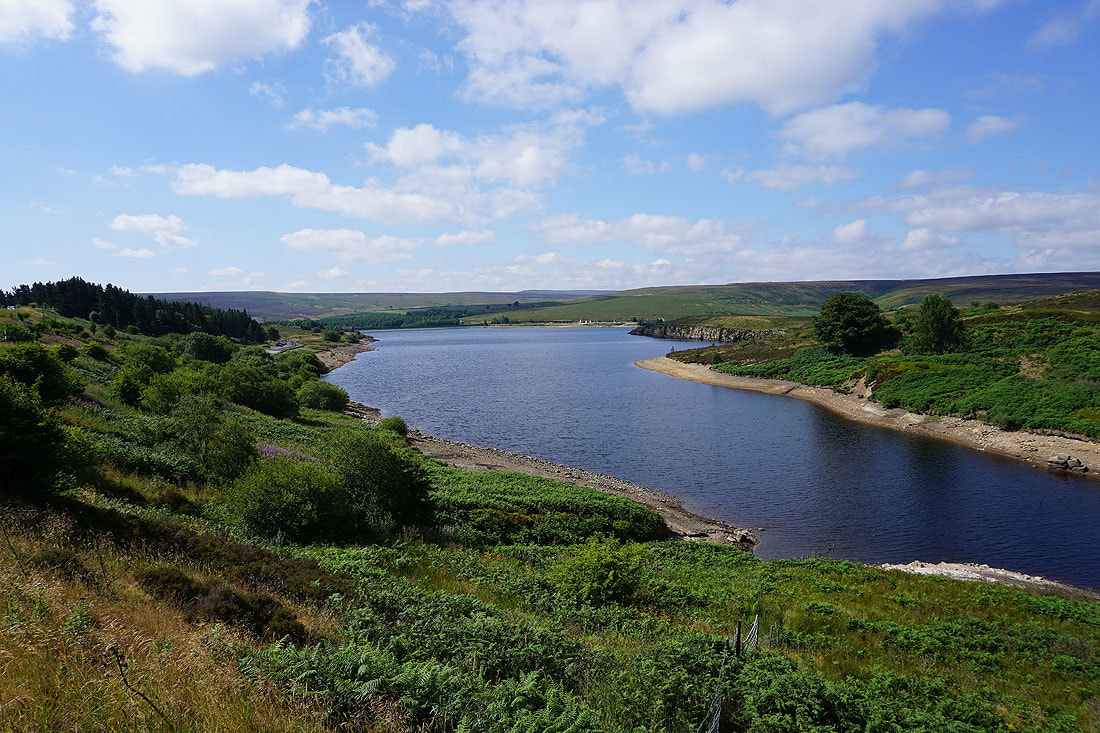
and on the dam of Harden Reservoir
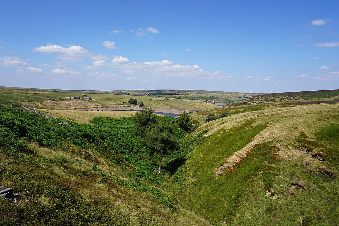
On the path up Harden Clough
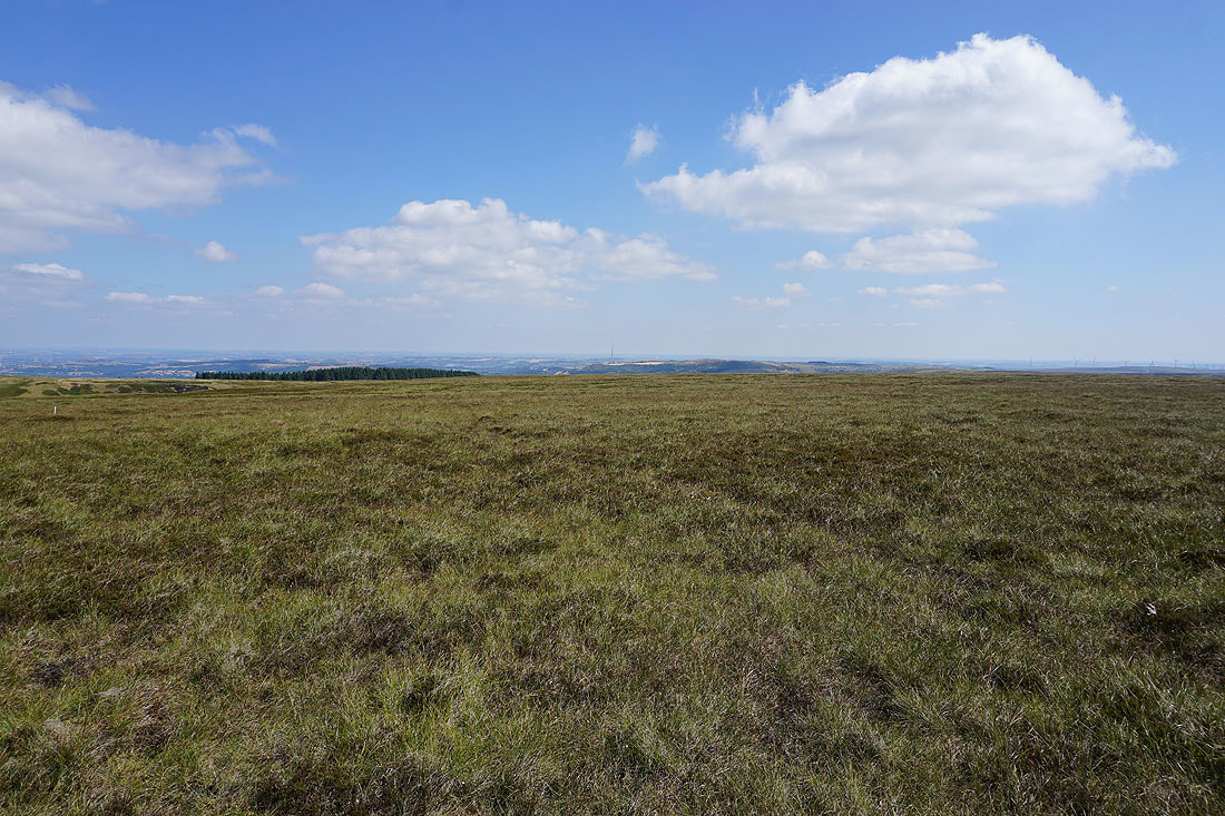
Crossing Lower Snailsden Moss
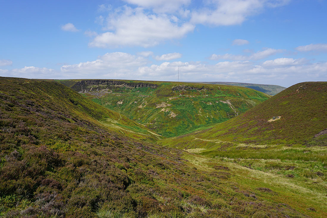
Upper Dead Edge and Great Grains Clough
Winscar Reservoir from Snailsden Edge
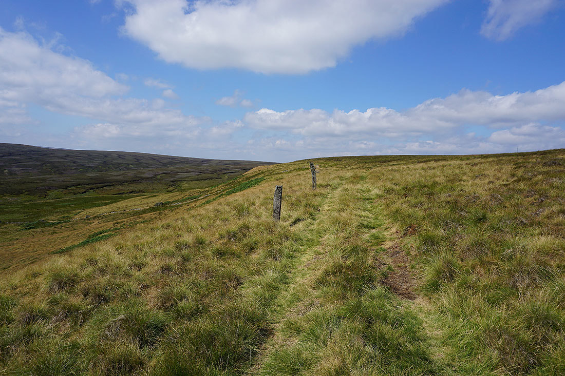
A line of wooden posts marks the path along Snailsden Edge
At the trig point on Snailsden Pike. Looking south to Dead Edge End with the Howden Moors beyond.
Britland Edge Hill and Black Hill to the west
Looking north over the Holme Valley..
..and I can see the transmitter on Emley Moor in the distance
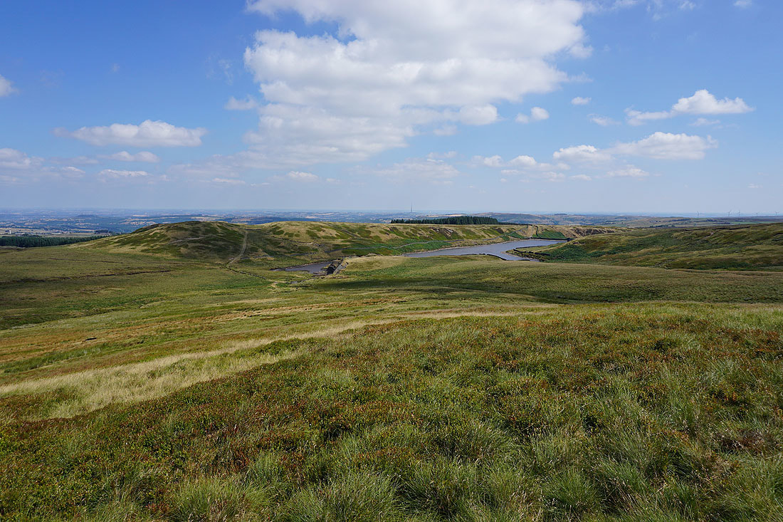
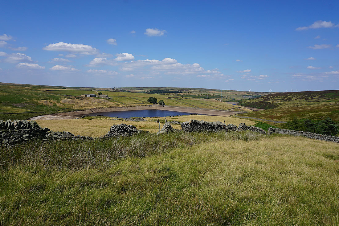
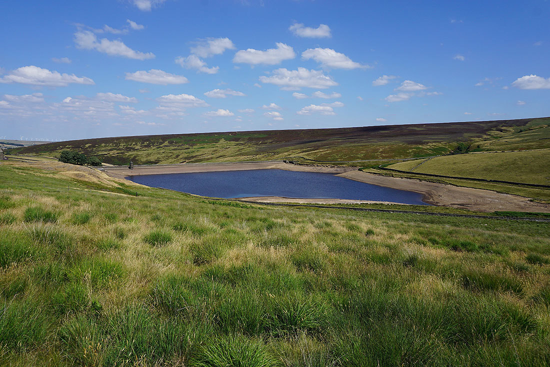
Snailsden Reservoir from Snailsden Pike End
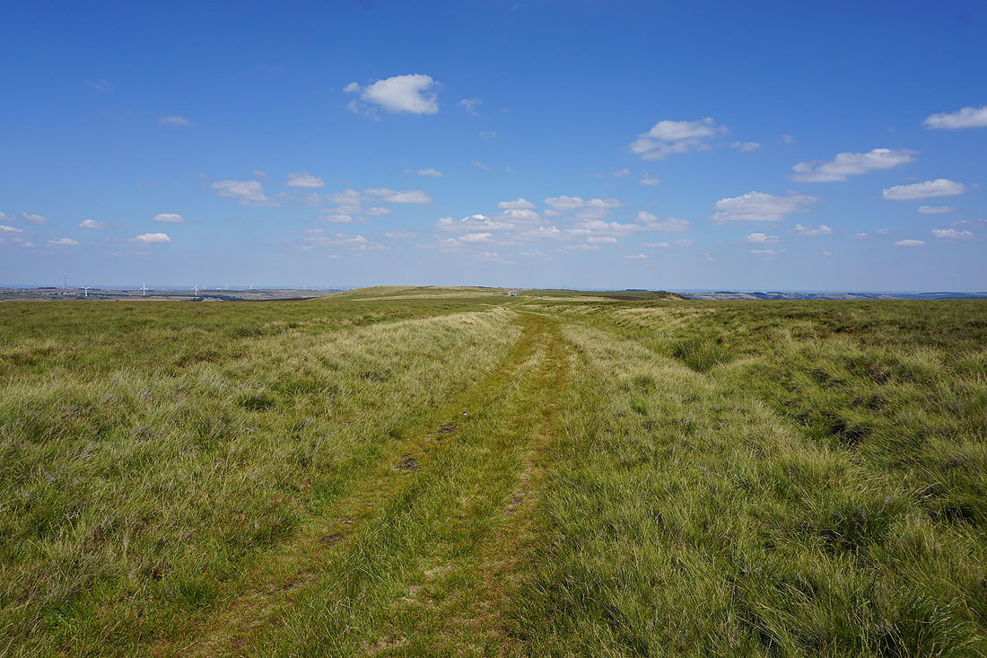
I pick up the path on the southern edge of Ruddle Clough
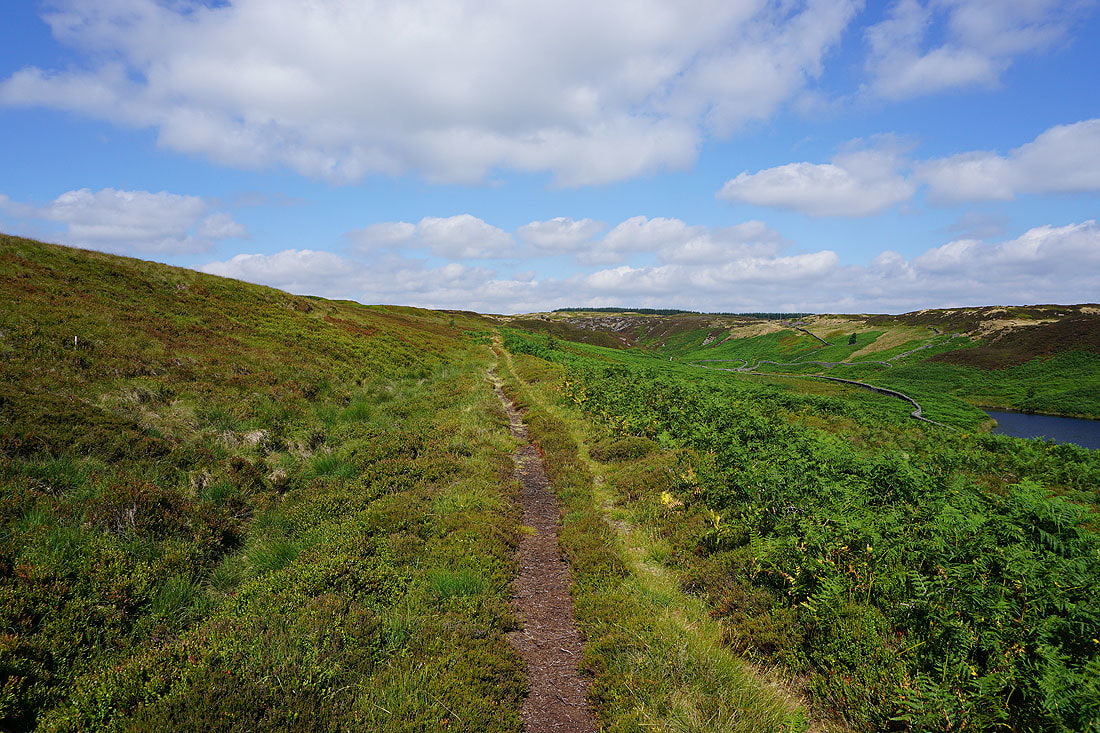
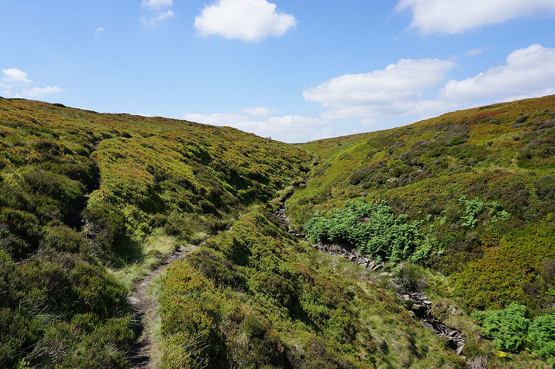
Which I follow round into Ramsden Clough
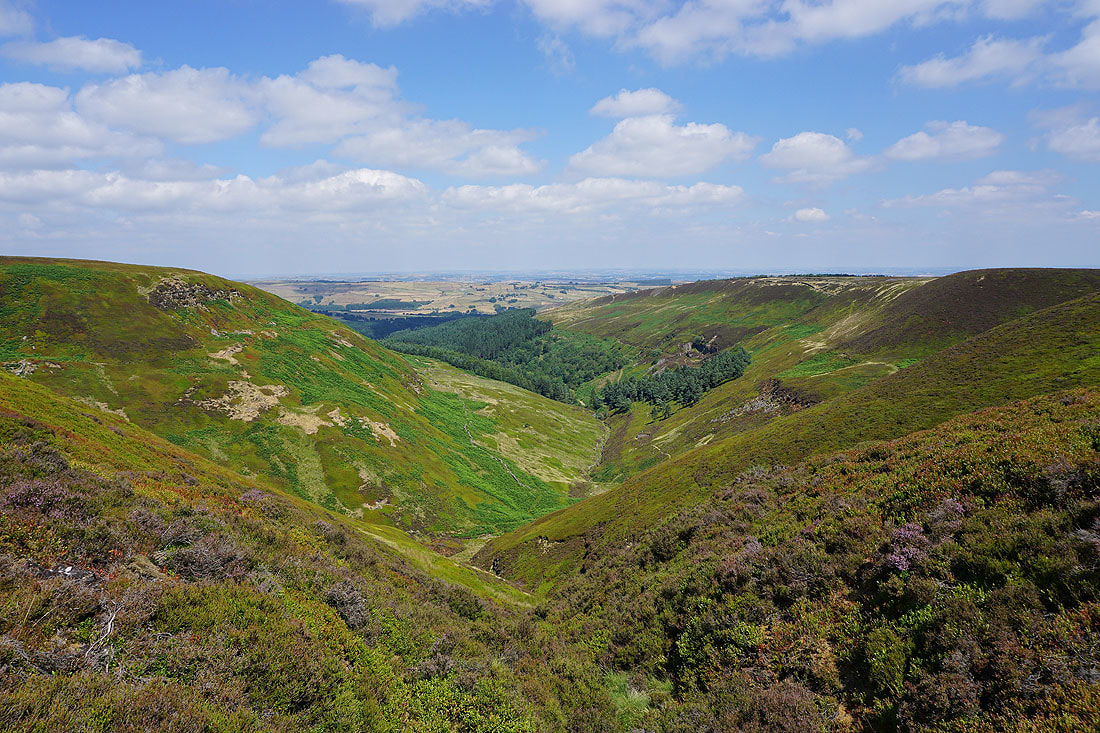
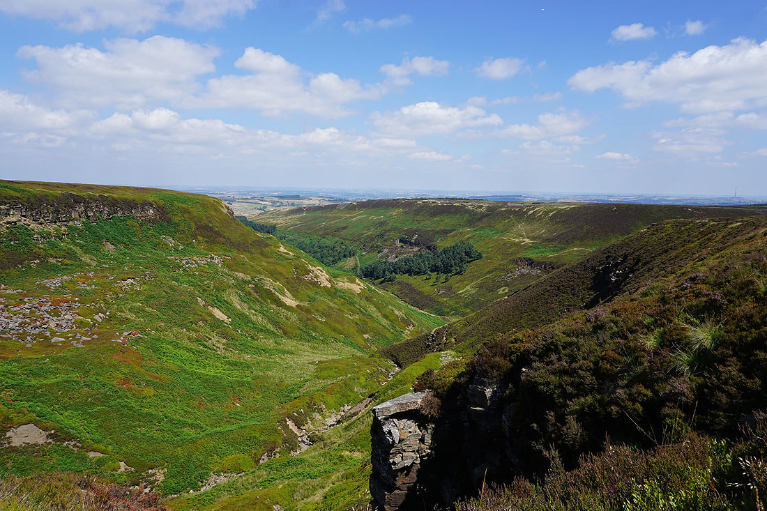
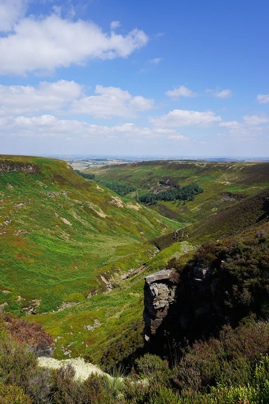
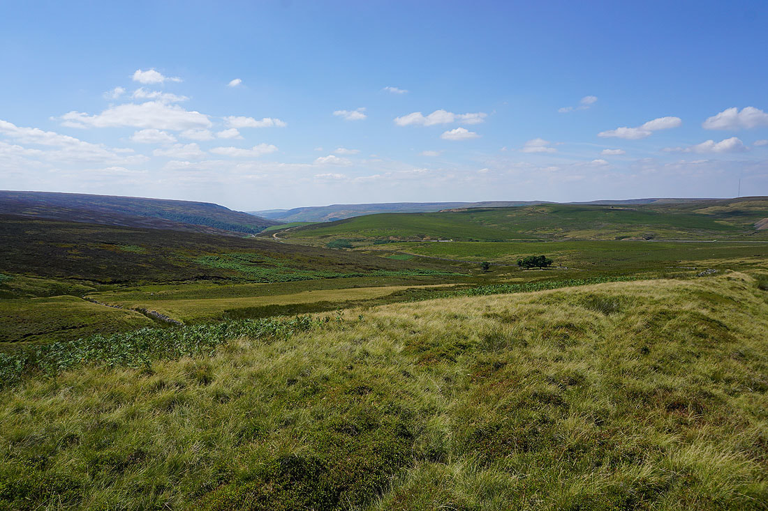
Fabulous views as I make my way south along the eastern edge of Ramsden Clough....
Lines of grouse butts appear as I near the top of Ramsden Clough
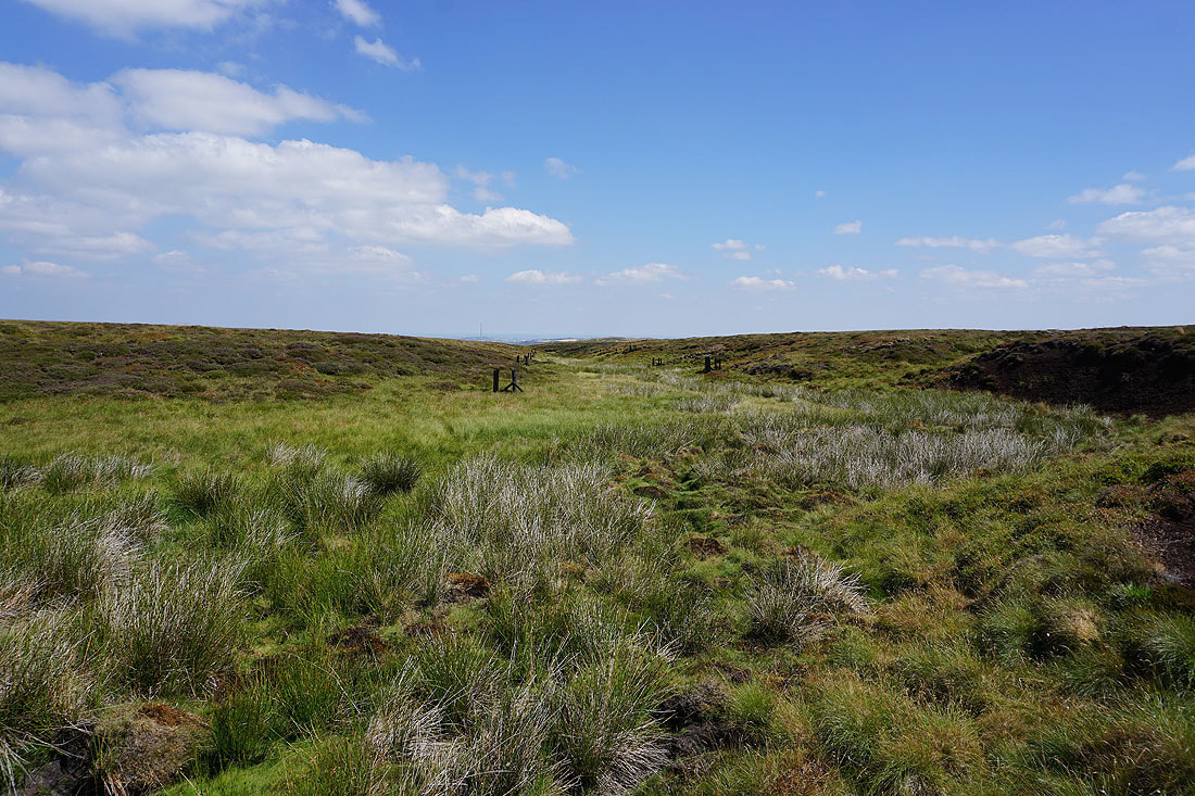
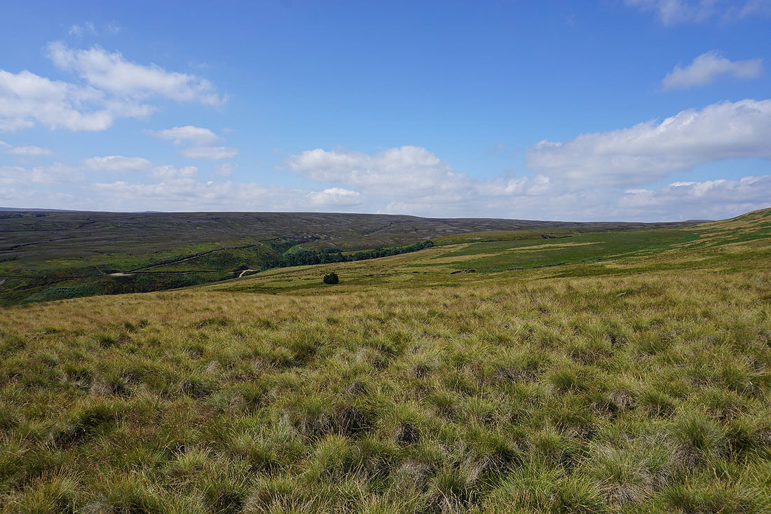
and then I'm into the boggy ground of Bailie Causeway Moss, except that it isn't because of all the hot and dry weather
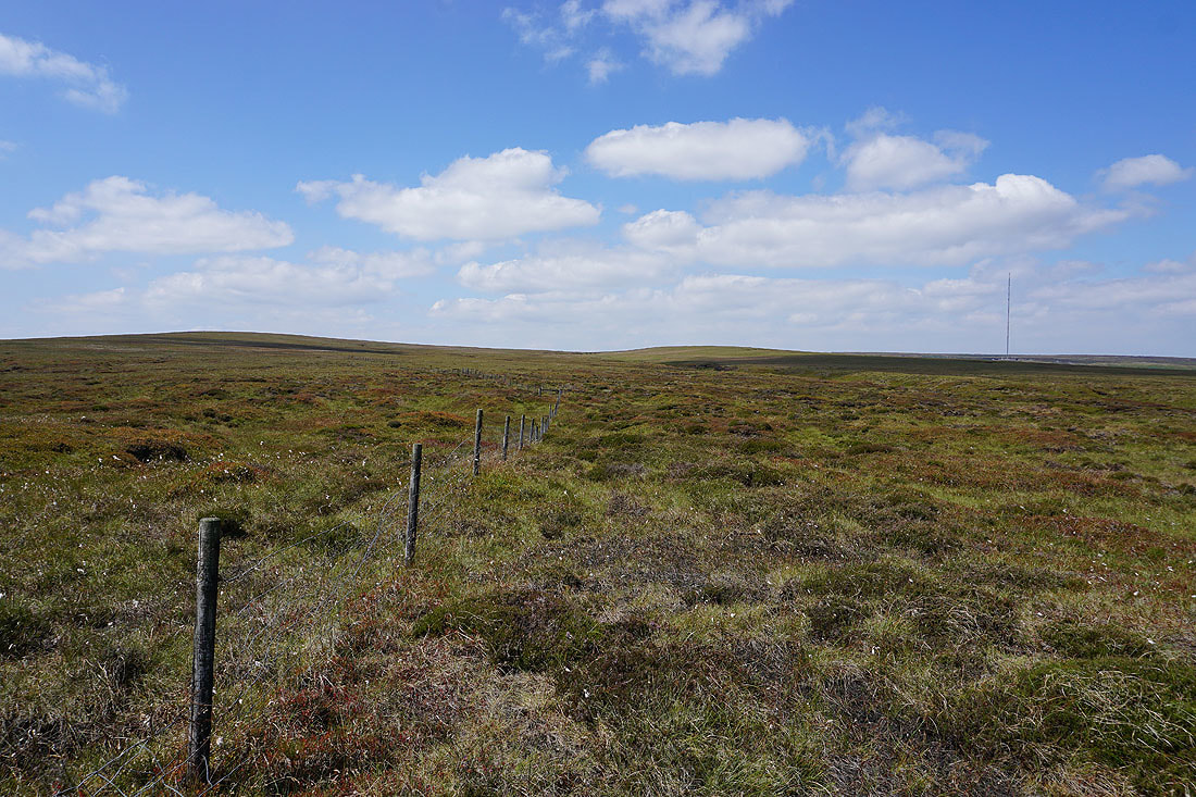
I've reached the fence line at the top of the moor. Looking west towards Britland Edge Hill.
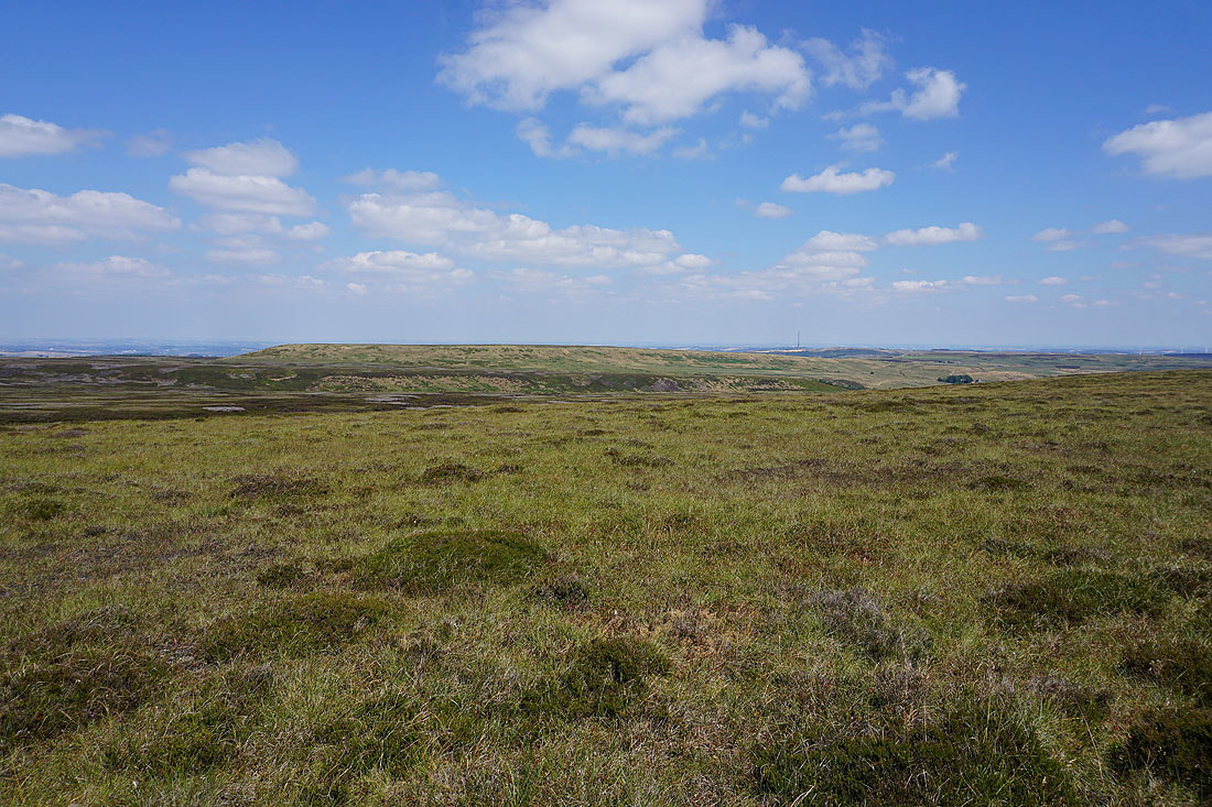
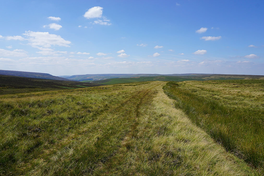
and to the southeast, Withens Edge and Dead Edge End, which is the way I'm going
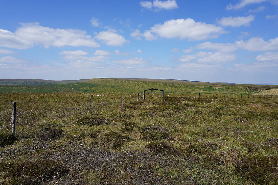
Britland Edge Hill from the southern end of Withens Edge
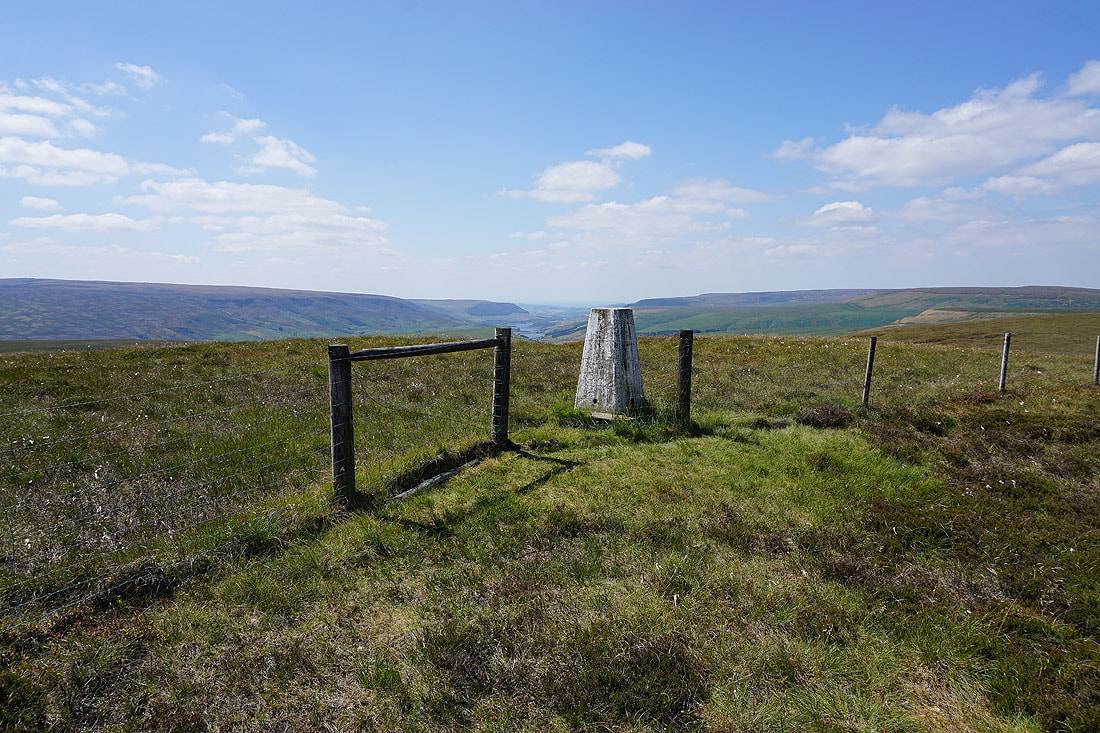
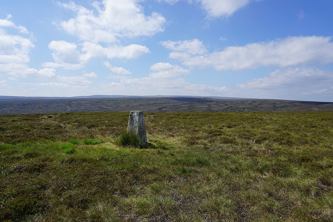
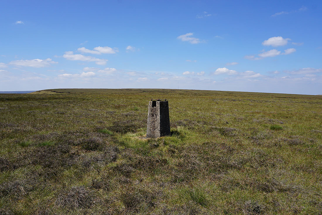
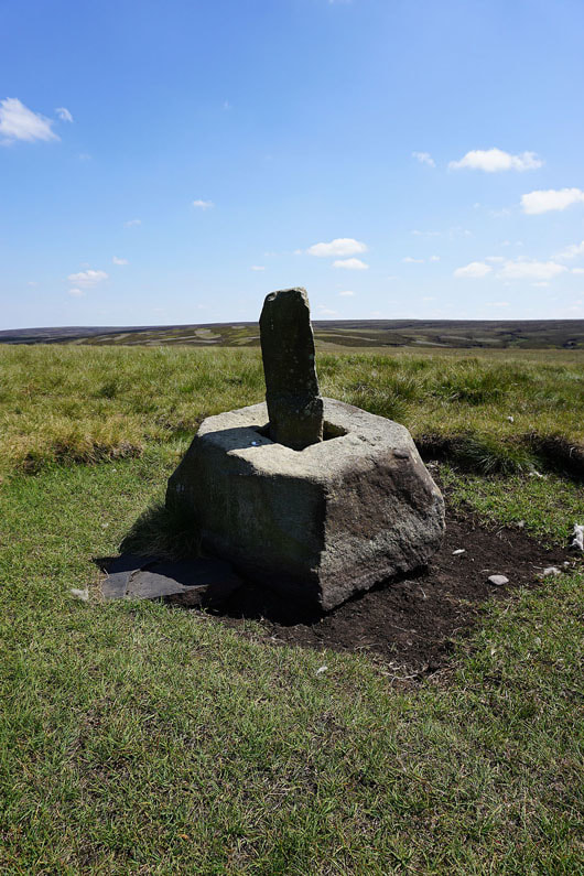
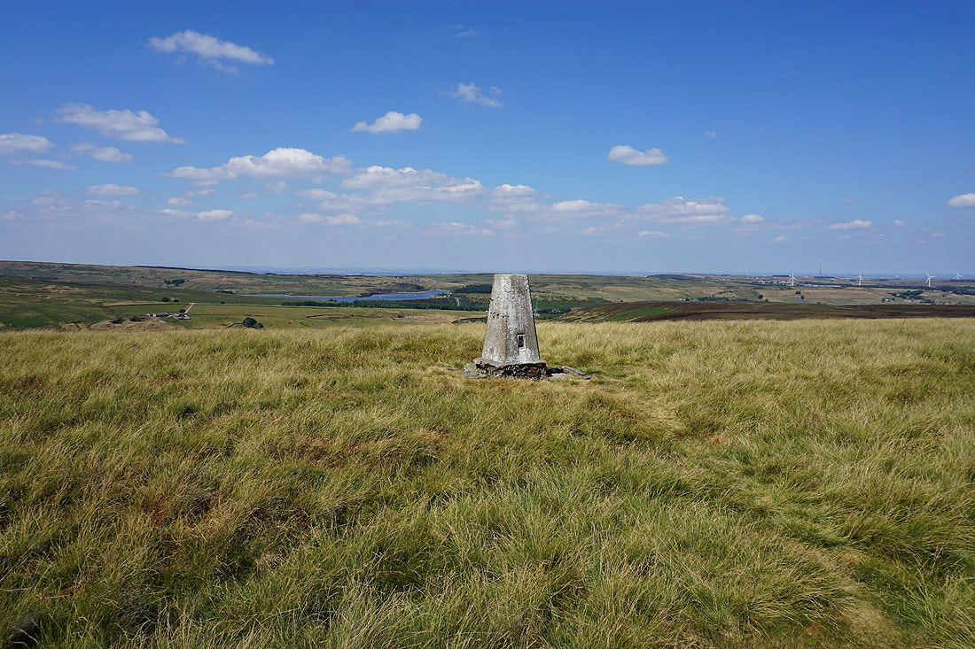
At the trig point on Dead Edge End
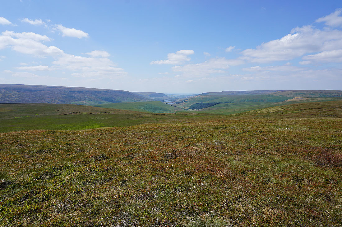
If I get on the other side of the trig point I have a great view looking west down Longdendale with the slopes of Bleaklow on the left and Black Hill on the right
Britland Edge Hill and Black Hill
Snailsden Pike to the north
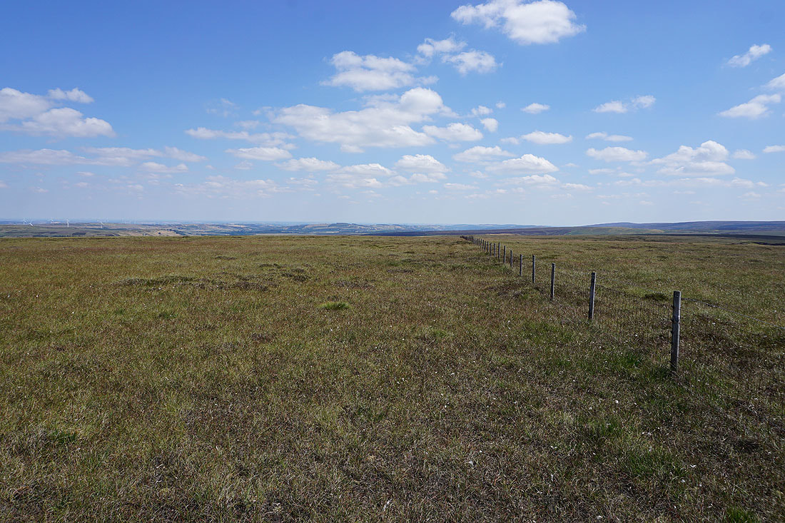
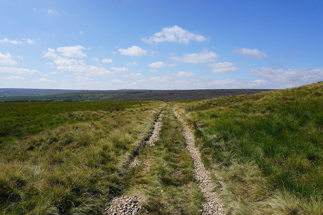
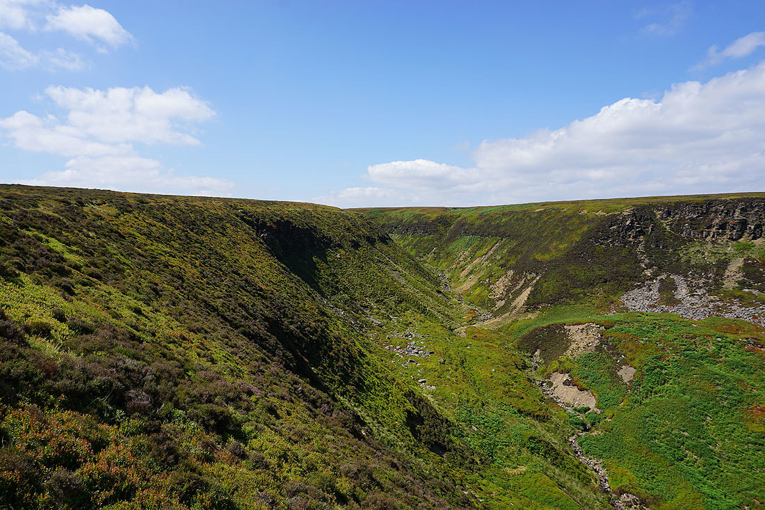
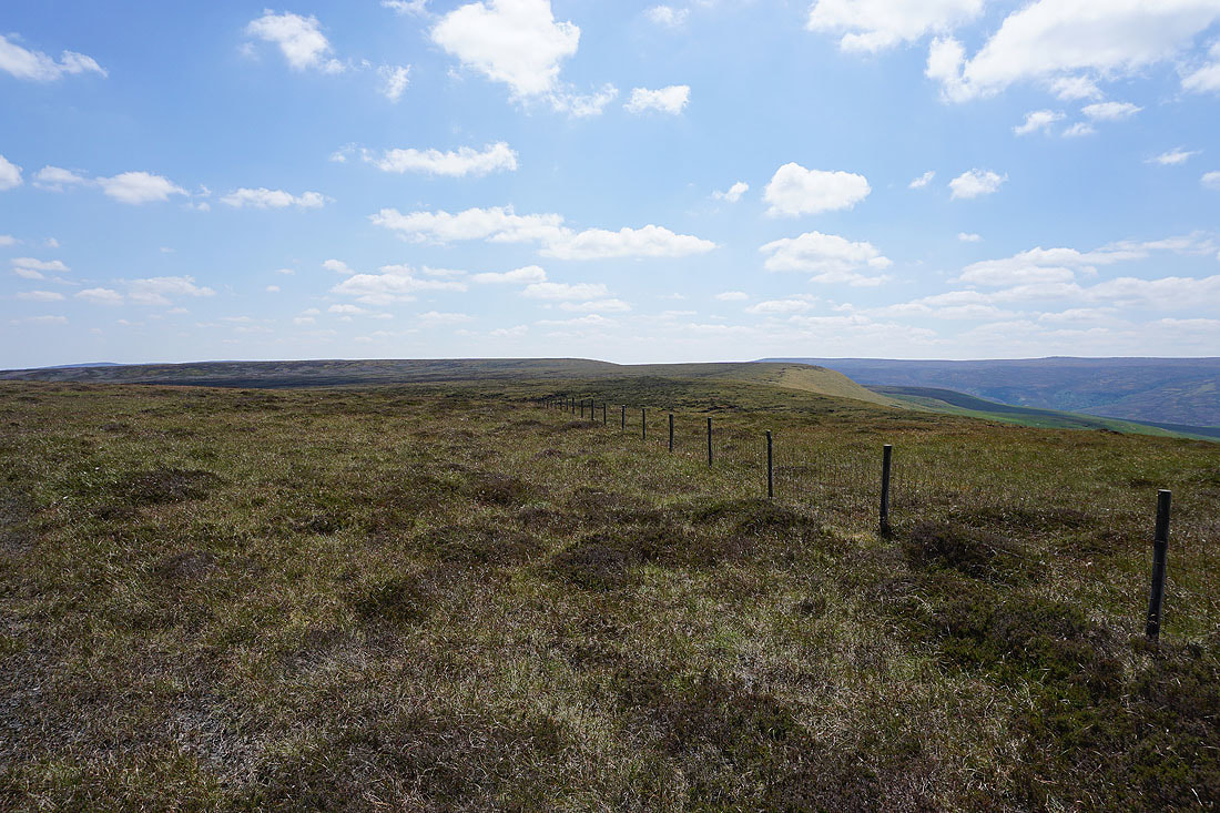
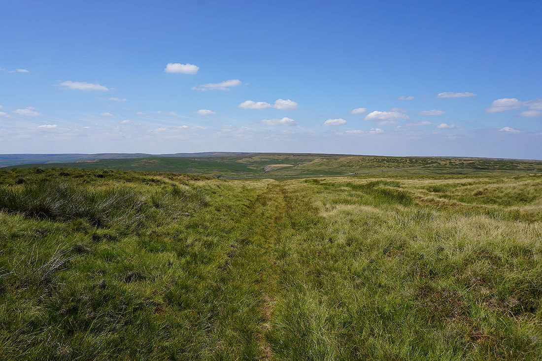
Following the fence line east from Dead Edge End and I'm sure it would normally be a lot wetter underfoot than it is
After leaving the fence my target was this pillar, built for surveying the construction of the Woodhead Tunnels
This track next to the pillar runs along the line of the tunnels
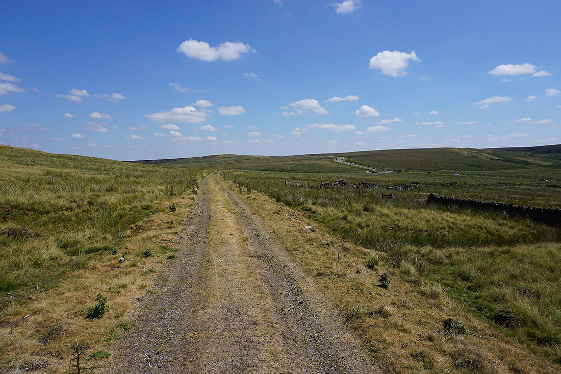
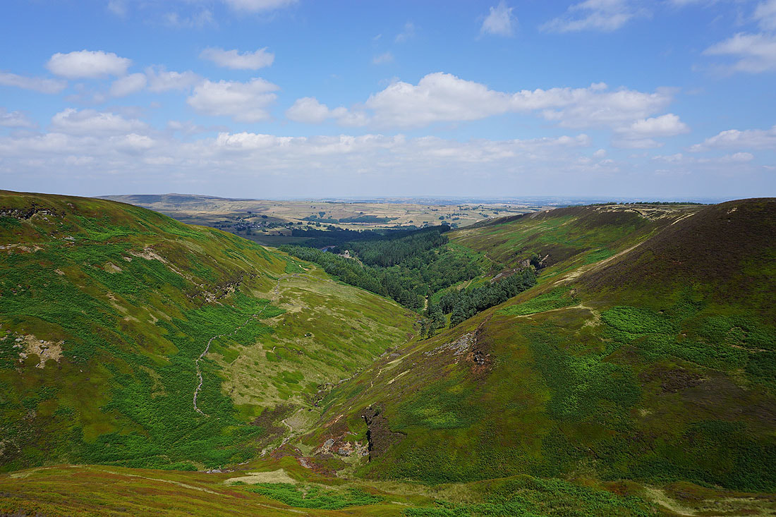
I followed it west down into the valley of Upper Head Dike and towards the Windle Edge road
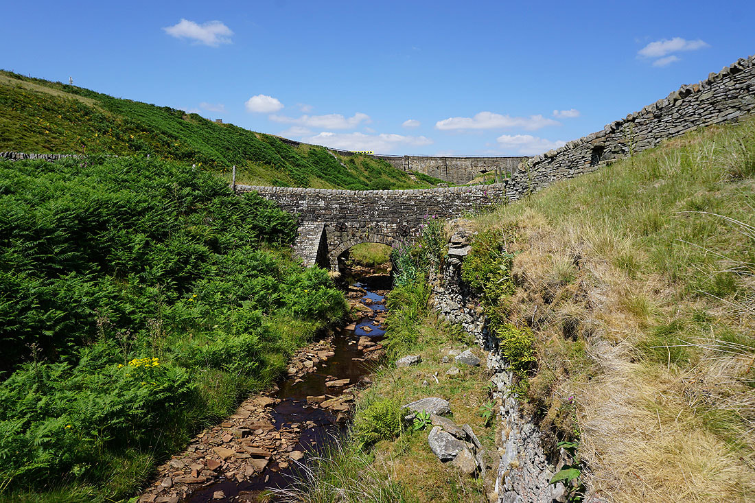
After crossing the A628 I followed the Trans Pennine Trail west for a little while to see the packhorse bridge over Salter's Brook. The modern road bridge is above.
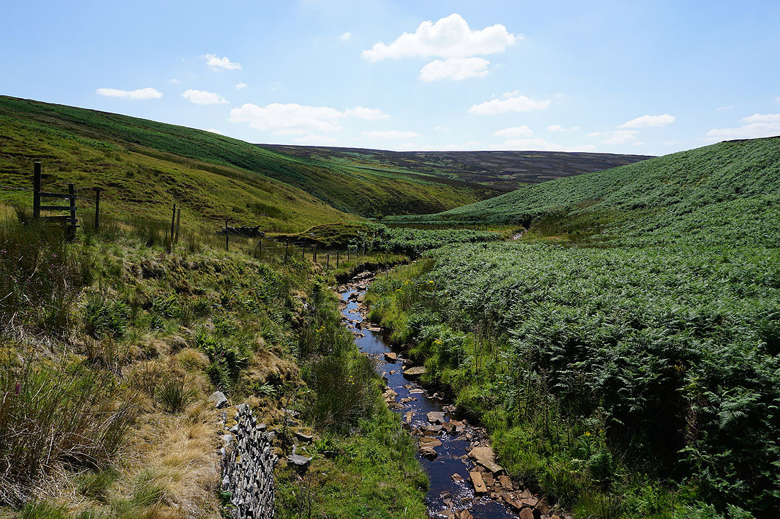
Salter's Brook
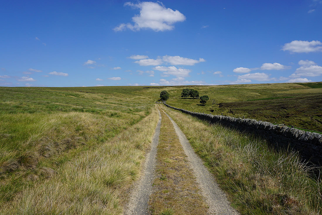
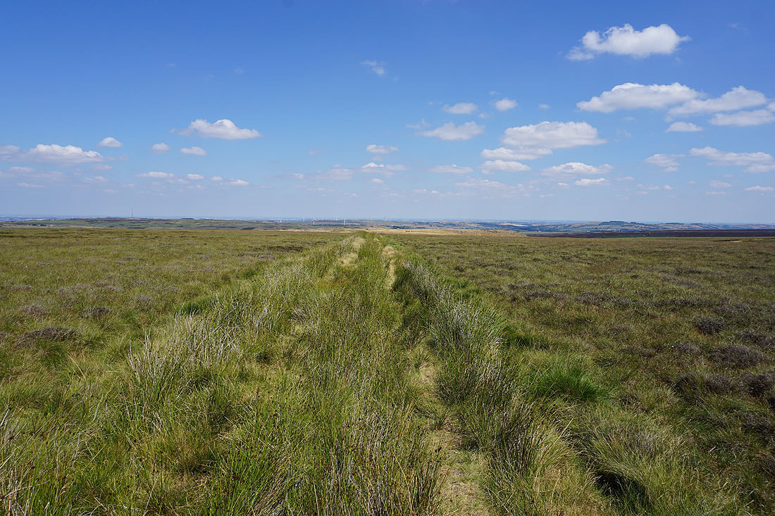
Walking east along the Trans Pennine Trail
It's a beautiful summer's afternoon as I look back west to Longdendale and Black Hill...
The remains of Lady Cross
The track I'm on continues east towards the A628 and the hill of South Nab
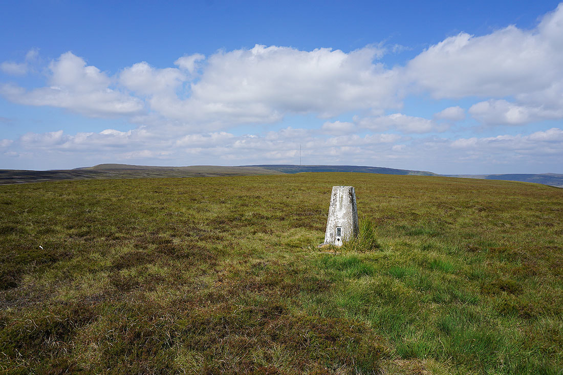
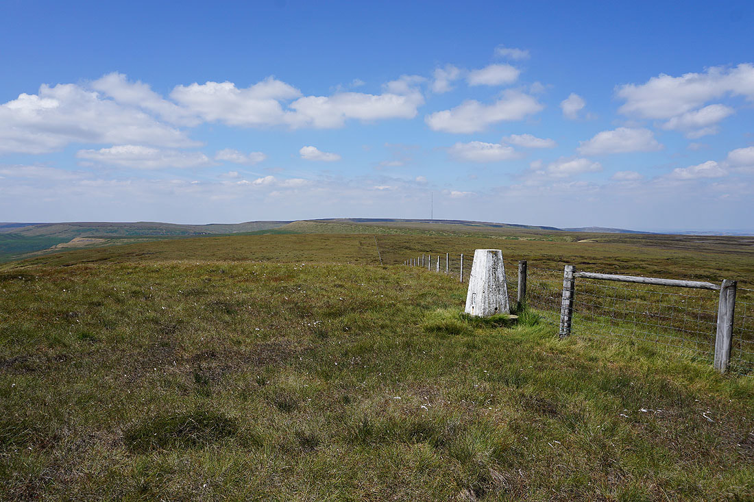
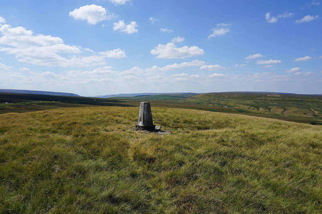
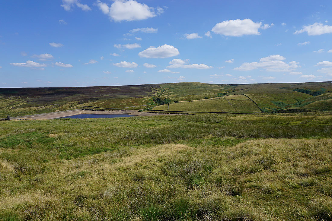
At the trig point on South Nab. Looking north towards Winscar Reservoir.
Looking west towards Longdendale and Black Hill
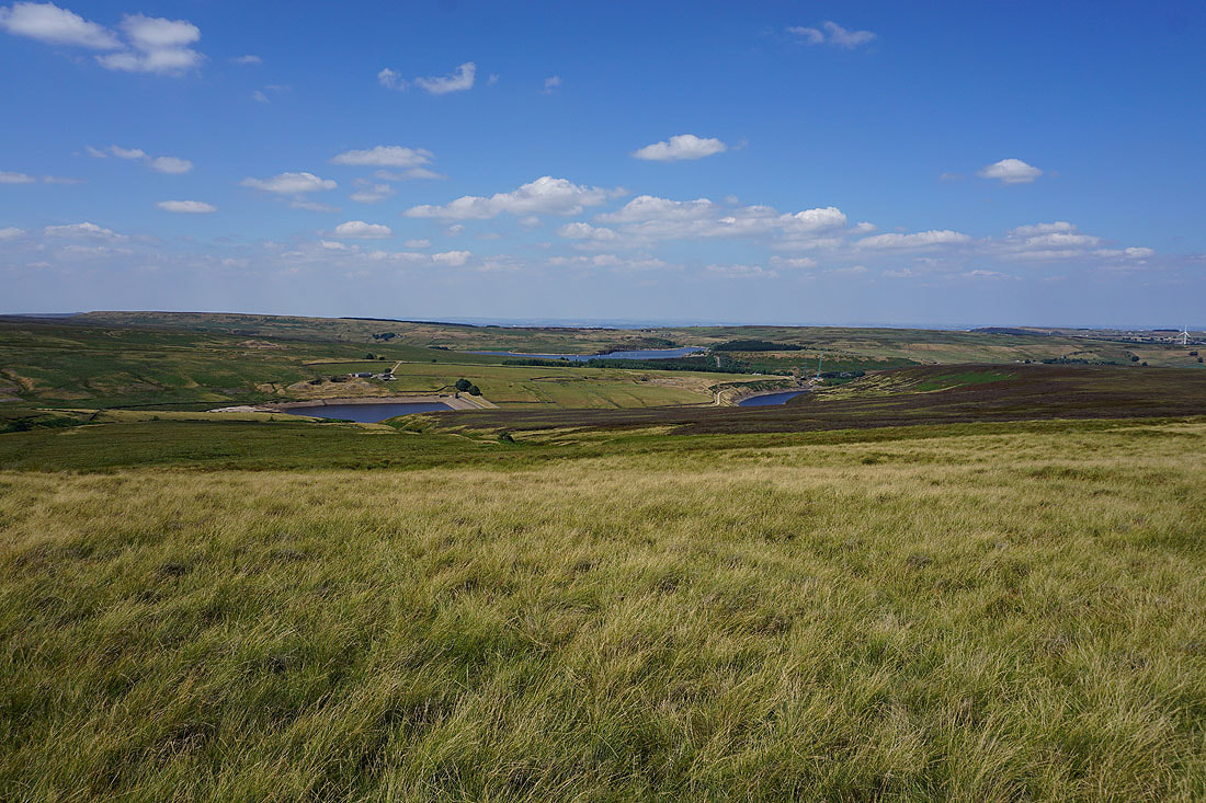
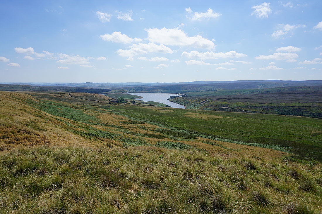
Upper and Lower Windleden Reservoirs and Winscar Reservoir as I follow the bridleway down Woodland Clough..
Upper Windleden Reservoir..
South Nab above Upper Windleden Reservoir and Woodland Clough
Back in Dunford Bridge