15th March 2009 - Bowscale Fell, Bannerdale Crags and Souther Fell
Walk Details
Distance walked: 8.9 miles
Total ascent: 2287 ft
OS map used: OL5 - The English Lakes, North-eastern area
Time taken: 5.5 hrs
Route description: Mungrisdale-Bowscale-Bowscale Tarn-Bowscale Fell-Bannerdale Crags-Glendermackin Col-River Glendermackin-Mousthwaite Col-Souther Fell-Low Beckside-Mungrisdale
After setting out from Mungrisdale I walked along the road to the hamlet of Bowscale where I took the path to Bowscale Tarn. I then ascended the grassy rake from the tarn to the summit of Bowscale Fell. After visiting the summit I then made my way across to Bannerdale Crags. My route back was down to the Glendermackin Col and then the path beside the river to Mousthwaite Col from where I walked across Souther Fell and back to Mungrisdale.
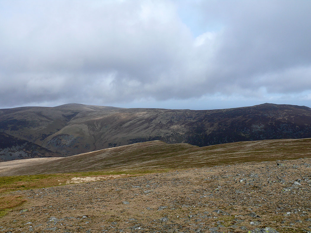
Route map
© Crown copyright. All rights reserved. License number PU 100034184.
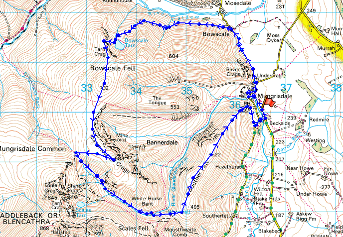
A view of Carrock Fell across Mosedale from the side of Bowscale Tarn
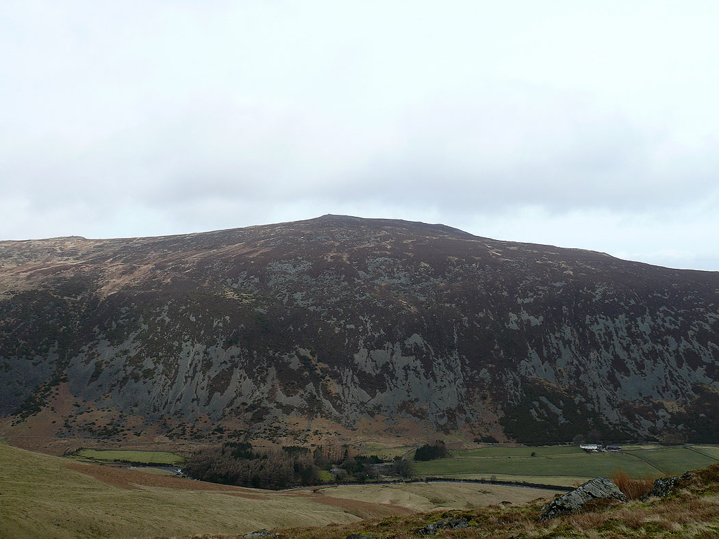
Bowscale Tarn
High Pike and Carrock Fell from the summit of Bowscale Fell
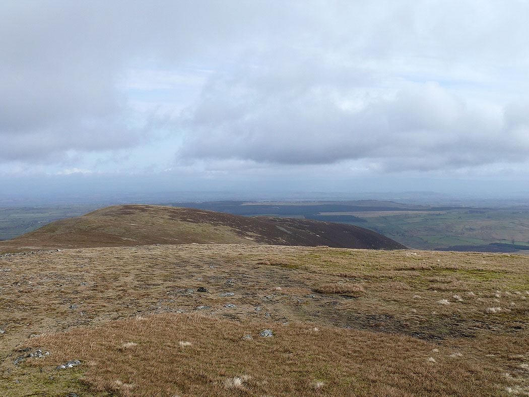
Looking northeast to the subsidiary top and the east ridge
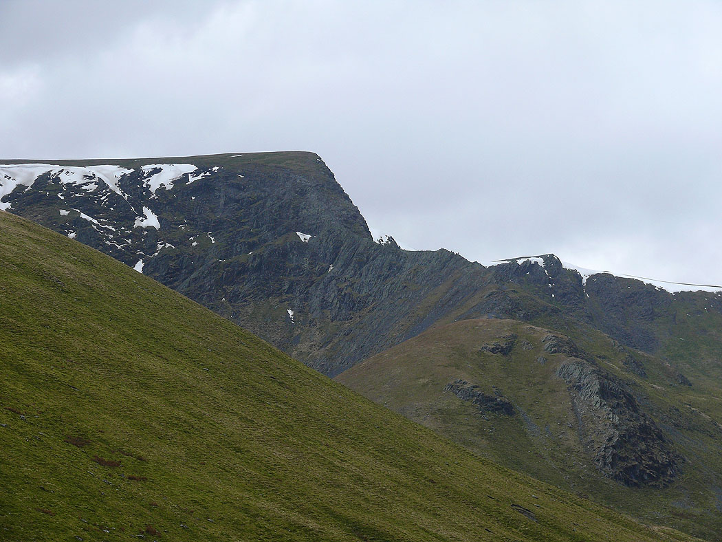
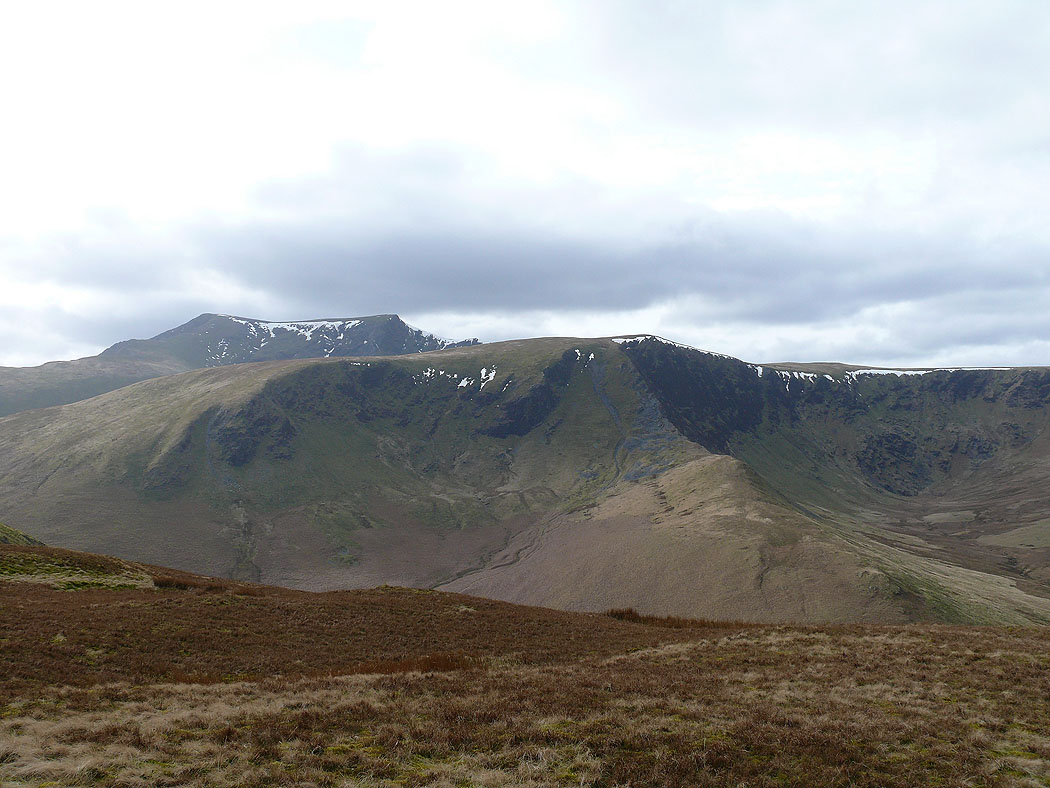
Bannerdale Crags and Blencathra
The view across Souther Fell to Great Mell Fell and the far eastern fells
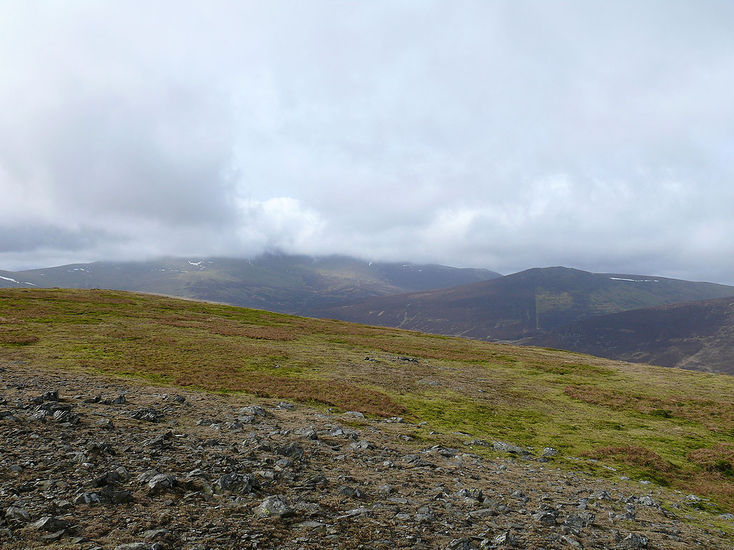
The top of Skiddaw is in cloud but Great Calva to the right is in the clear
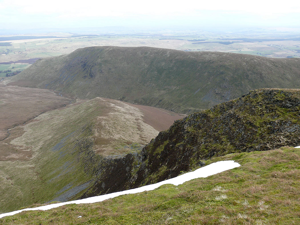
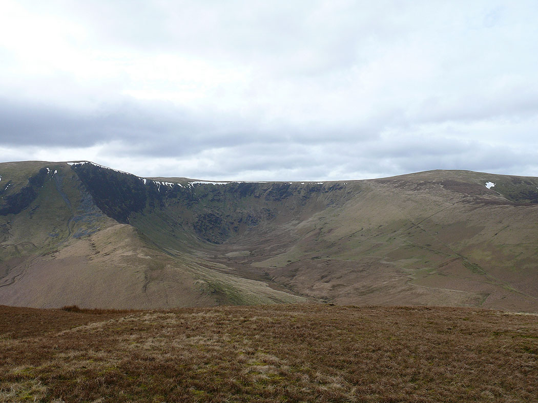
On the summit of Bannerdale Crags and a look down on its east ridge
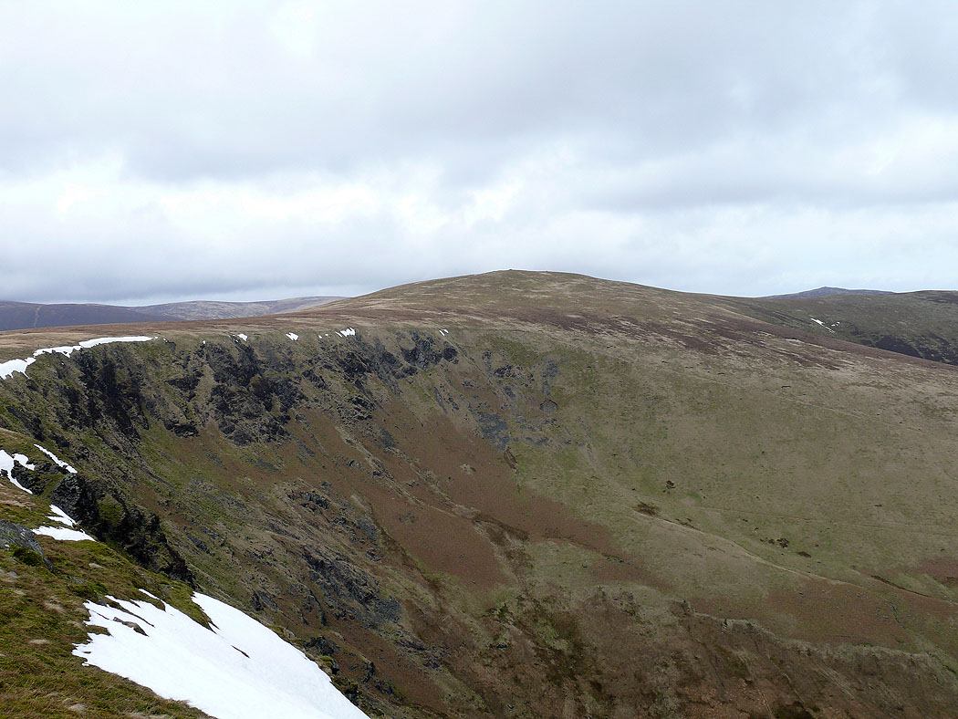
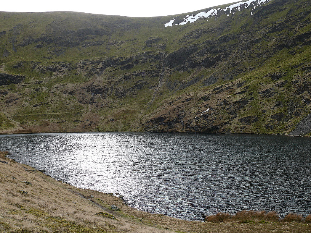
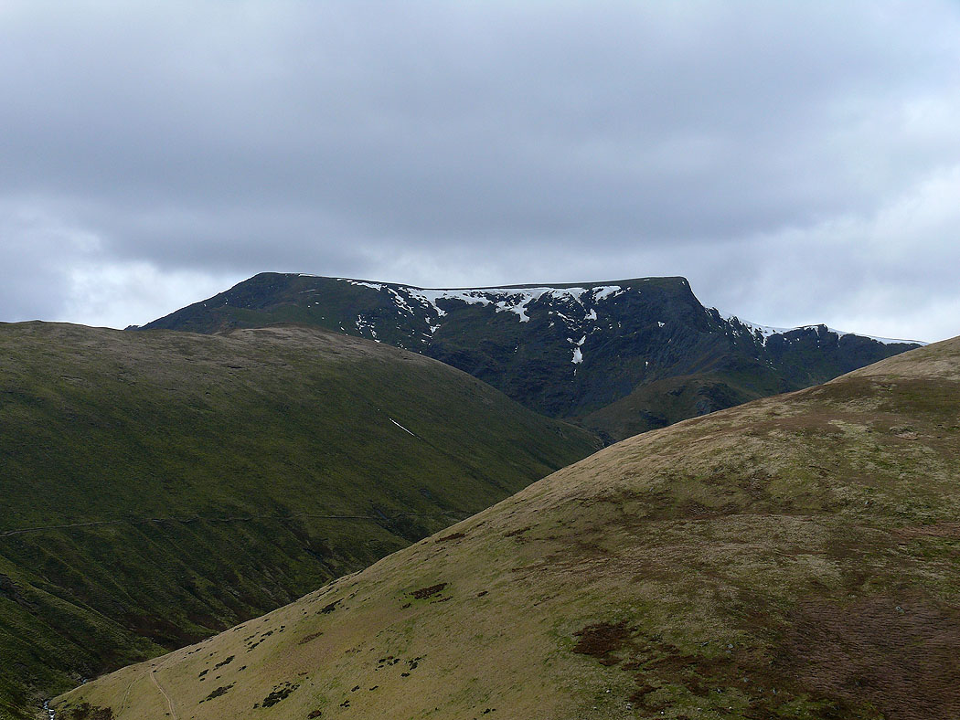
The view back to Bowscale Fell
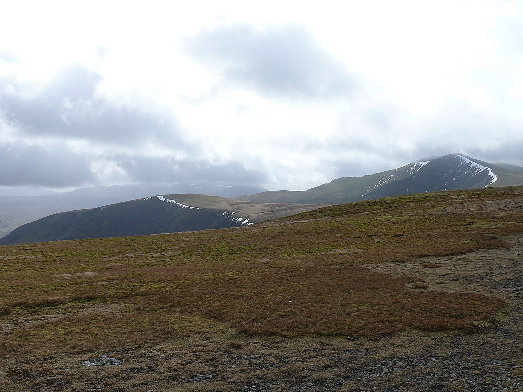
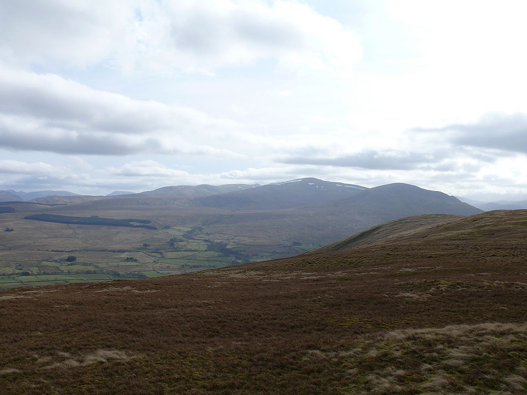
The High Street range in the distance
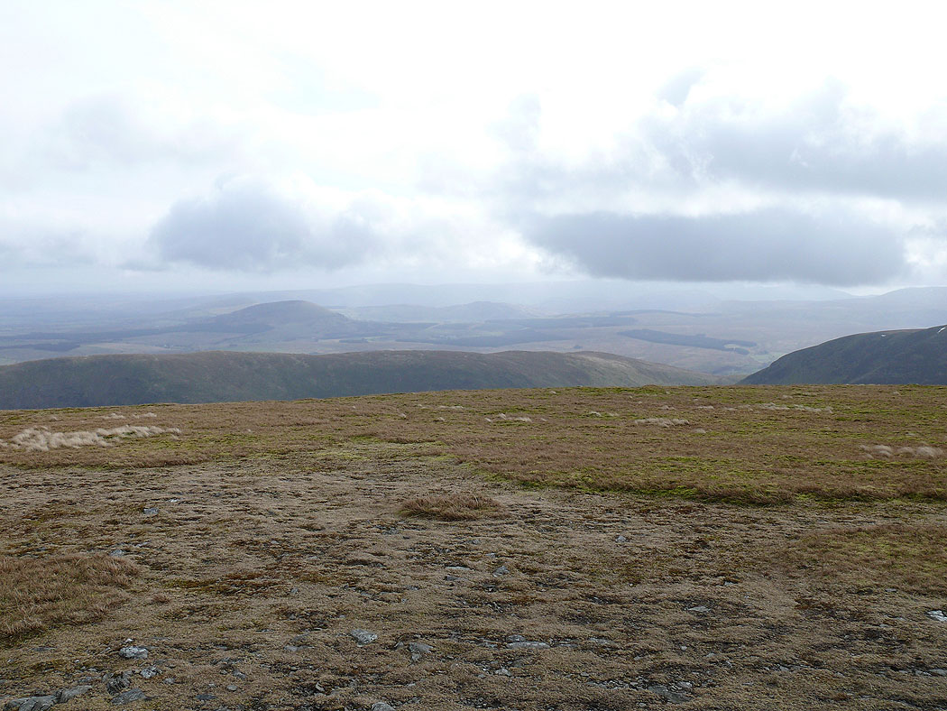
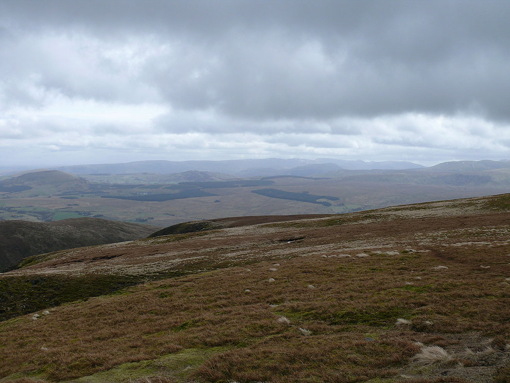
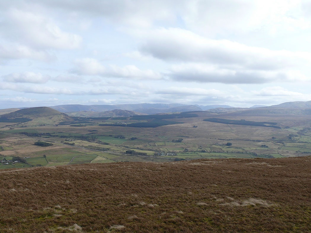
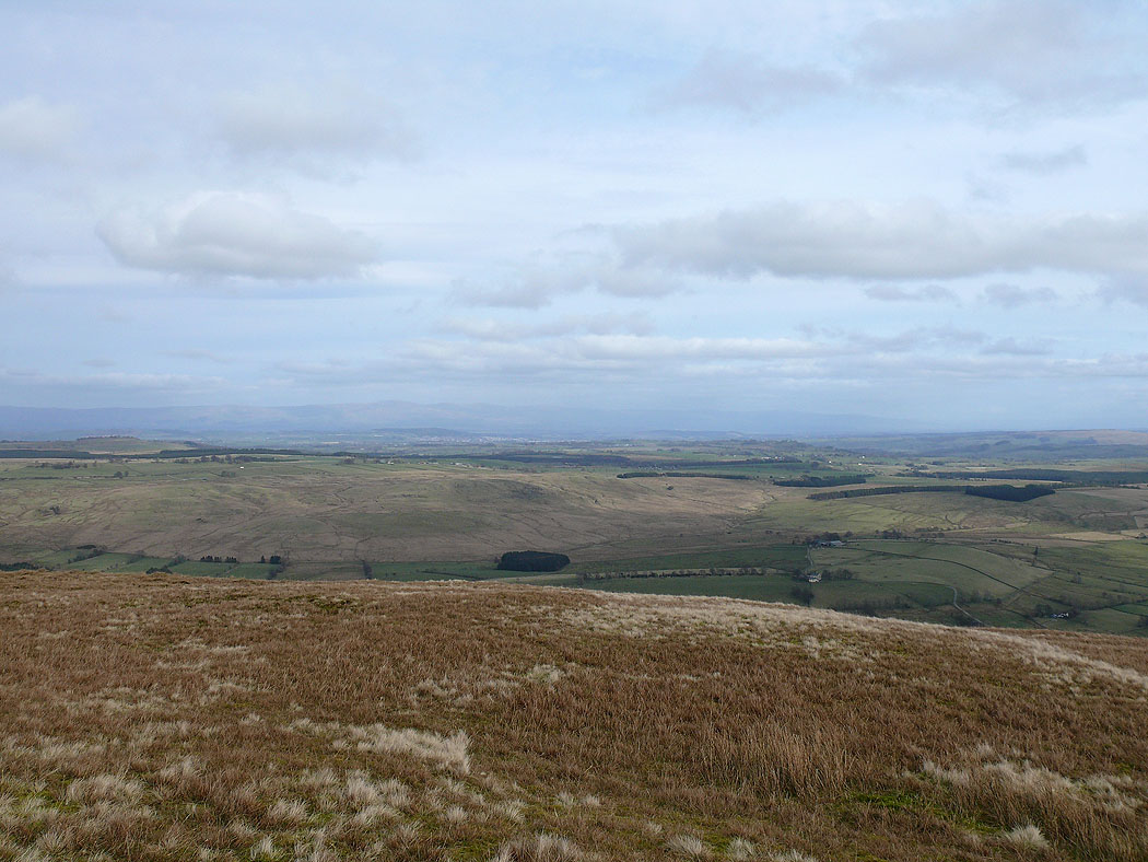
The view across Souther Fell to the distant North Pennines
I've left Bannerdale Crags and I'm on my way to Souther Fell but on the way I zoomed in to take this picture of Sharp Edge on Blencathra
Blencathra from the start of the ascent of Souther Fell from Mousthwaite Col
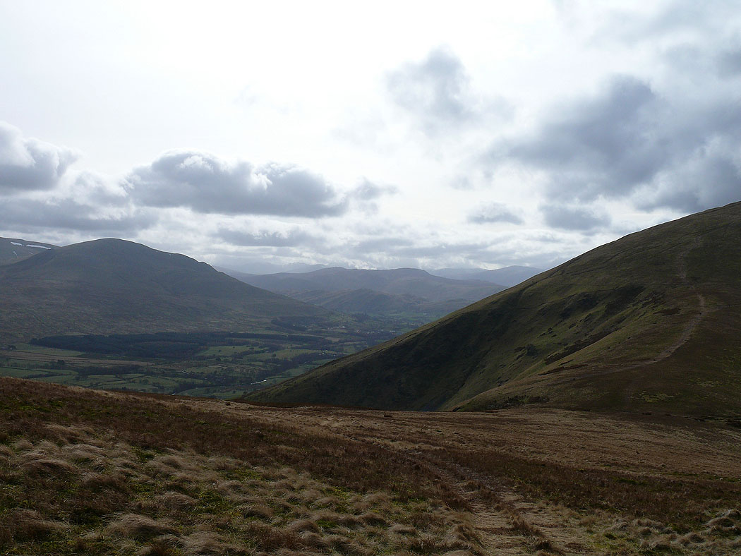
The view down the Vale of Keswick
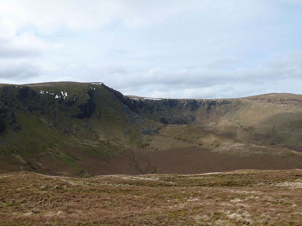
Bannerdale Crags
The High Street range in the distance from Souther Fell
Great Dodd and Clough Head
Blencathra and Bannerdale Crags
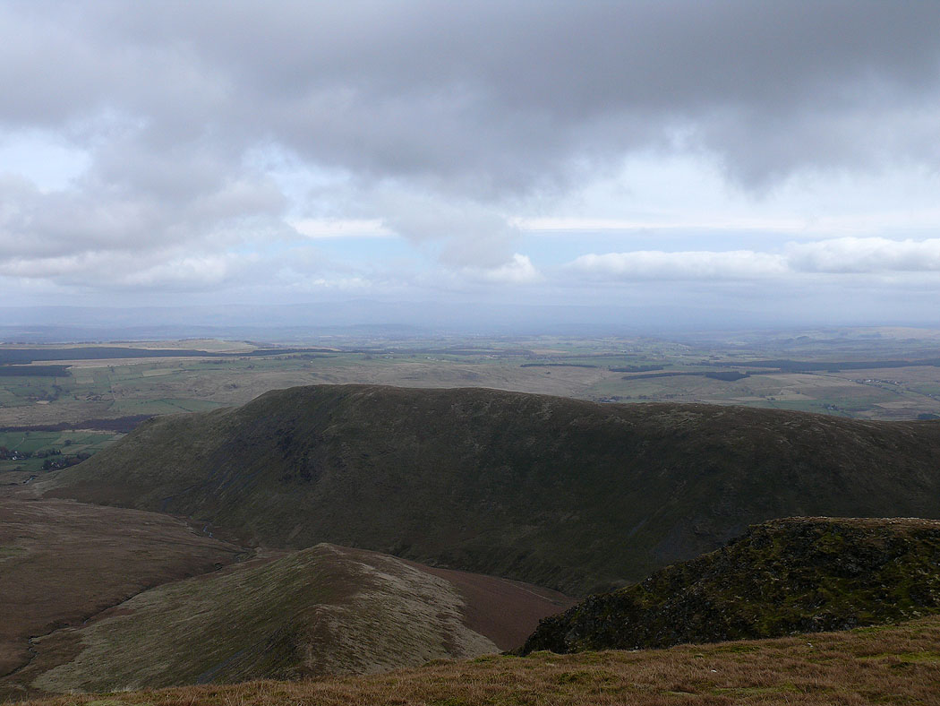
Bannerdale Crags and Bowscale Fell
The North Pennines in the distance across the Vale of Eden before the descent down to Mungrisdale