15th March 2014 - Great Manshead Hill
Walk Details
Distance walked: 6.3 miles
Total ascent: 870 ft
OS map used: OL21 - South Pennines
Time taken: 3 hrs
Route description: Baitings Reservoir-Greenwood Clough-Manshead End-Great Manshead Hill-Calderdale Way-Greave Road-Great Greave Farm-Blue Ball Road-Baitings Reservoir
There was a bit of a spur of the moment decision to do this walk. I had kept it for doing during a fine afternoon but I was bored and the weather wasn't too bad. The bit of sunshine at the start didn't last and it was very windy but it stayed dry.
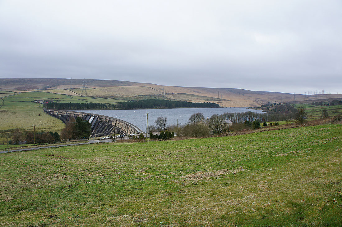
From the car park next to Baitings Reservoir I crossed the dam and followed the path along the south shore of the reservoir to the road over Baitings Viaduct and the A58. I turned left and a short distance up the road is the concessionary path up Greenwood Clough to Manshead End. After paying the summit a visit I continued north over Great Manshead Hill to reach the Calderdale Way. A succession of bridleways and lanes took me to Blue Ball Road and back to Baitings Reservoir.
Total ascent: 870 ft
OS map used: OL21 - South Pennines
Time taken: 3 hrs
Route description: Baitings Reservoir-Greenwood Clough-Manshead End-Great Manshead Hill-Calderdale Way-Greave Road-Great Greave Farm-Blue Ball Road-Baitings Reservoir
There was a bit of a spur of the moment decision to do this walk. I had kept it for doing during a fine afternoon but I was bored and the weather wasn't too bad. The bit of sunshine at the start didn't last and it was very windy but it stayed dry.
From the car park next to Baitings Reservoir I crossed the dam and followed the path along the south shore of the reservoir to the road over Baitings Viaduct and the A58. I turned left and a short distance up the road is the concessionary path up Greenwood Clough to Manshead End. After paying the summit a visit I continued north over Great Manshead Hill to reach the Calderdale Way. A succession of bridleways and lanes took me to Blue Ball Road and back to Baitings Reservoir.
Route map
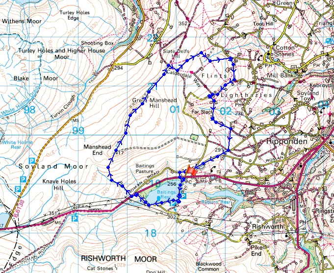
© Crown copyright. All rights reserved. License number PU 100034184.
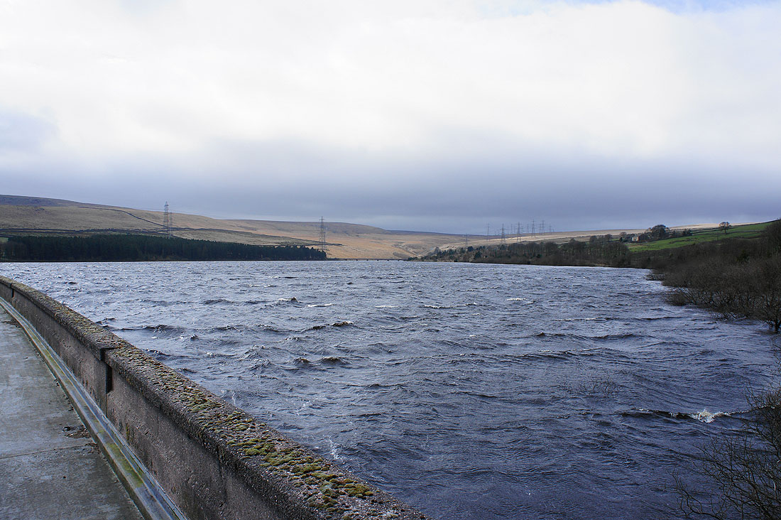
Heading across the dam of Baitings Reservoir. It's very windy, windy enough to blow spray off the water going over the overflow.
On the dam, with the River Ryburn below flowing down to Ryburn Reservoir
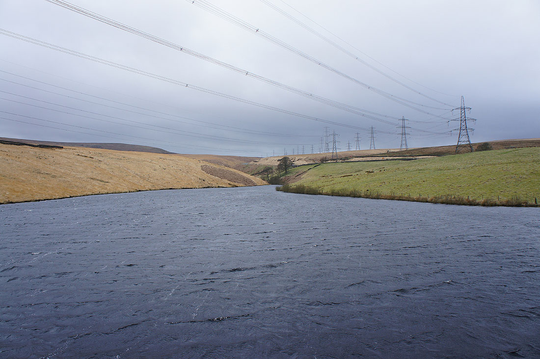
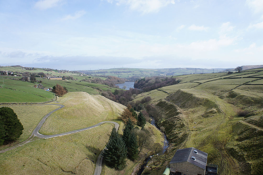
The head of the reservoir from Baitings Viaduct. It's the march of the pylons.
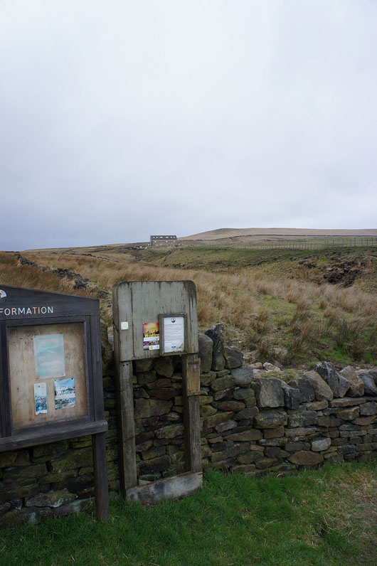
Across the A58 and at the entrance to access land
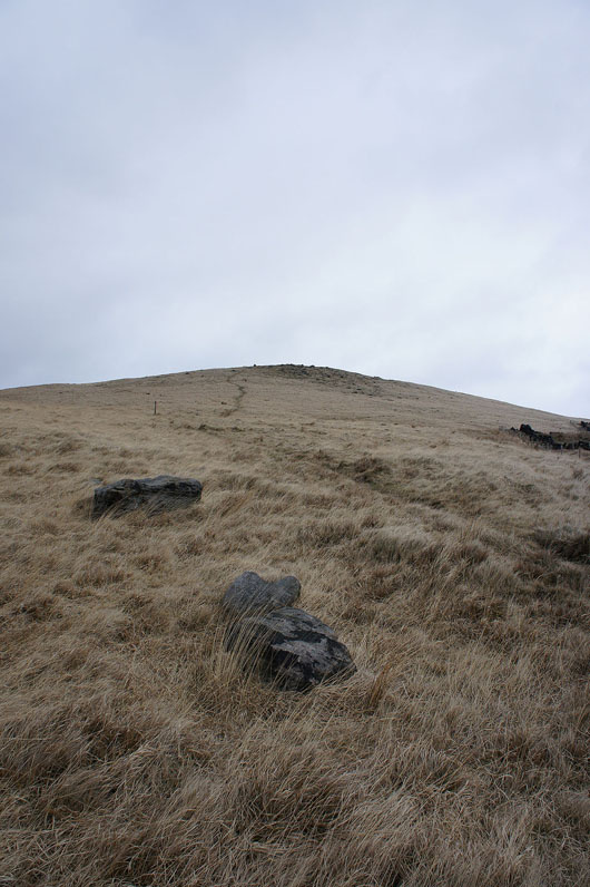
The rash of stones on Manshead End just ahead
A few shots from the cairn at the top of the slope. Looking across Turvin Clough to Higher House Moor.
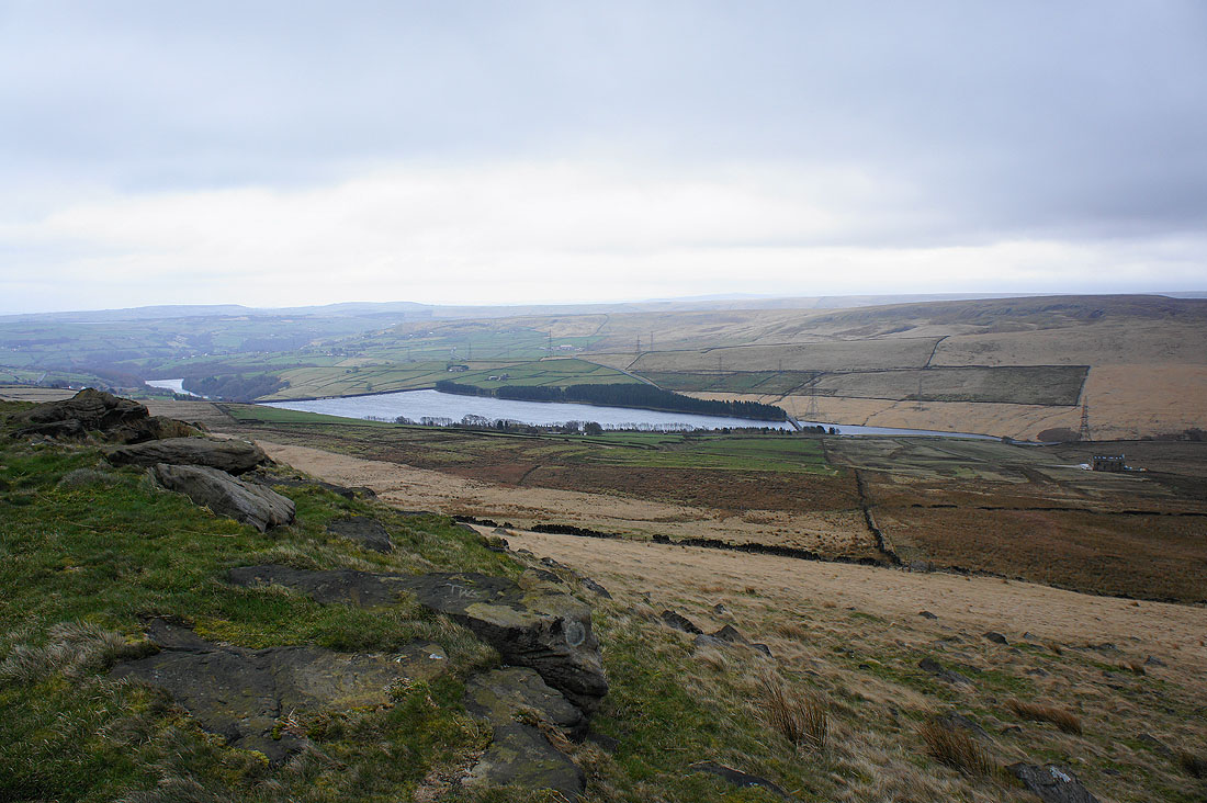
Baitings Reservoir
and Blackstone Edge

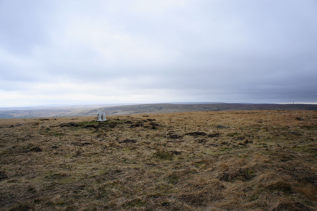
By the trig point on Manshead End. Looking across Higher House Moor to the Stoodley Pike monument.
Rishworth Moor
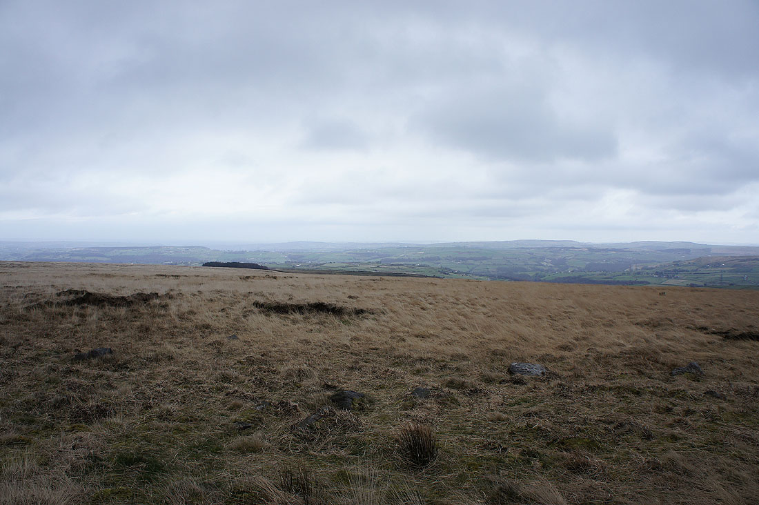
Looking east into West Yorkshire
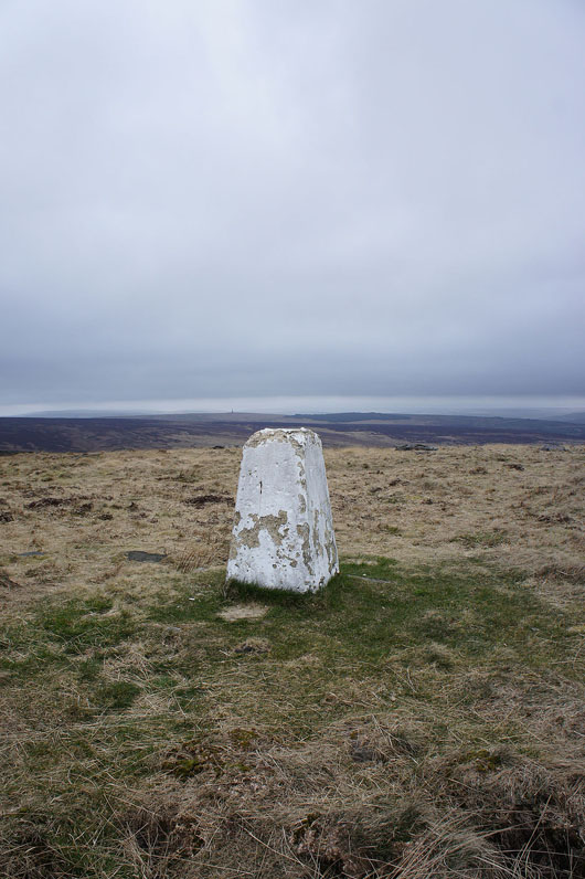
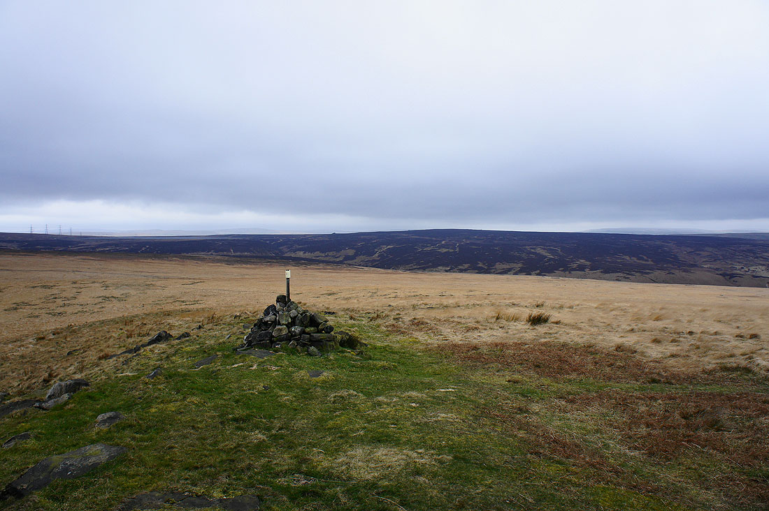
The trig point on Manshead End
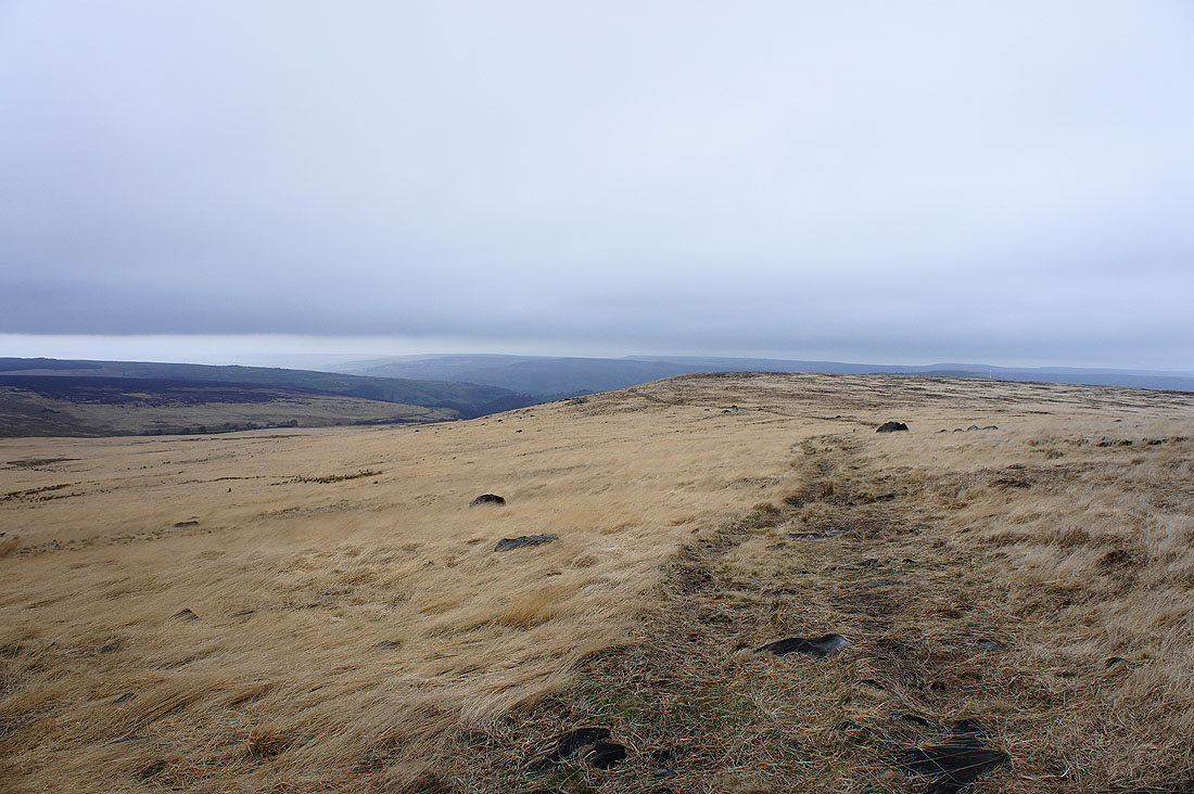
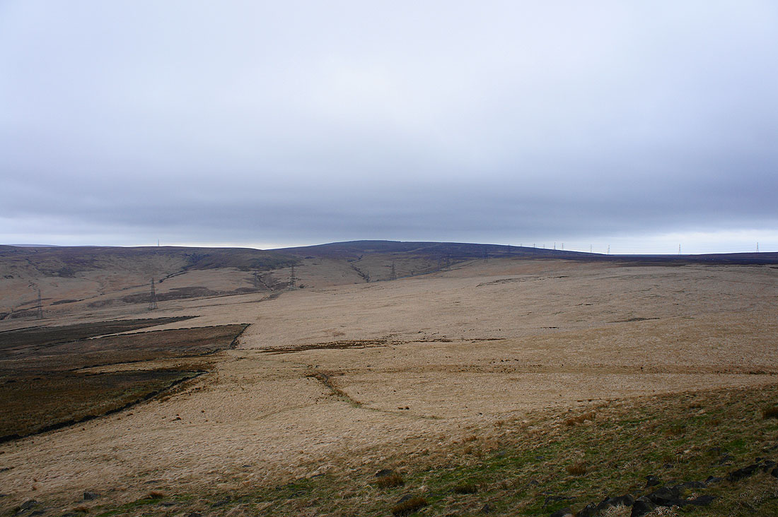
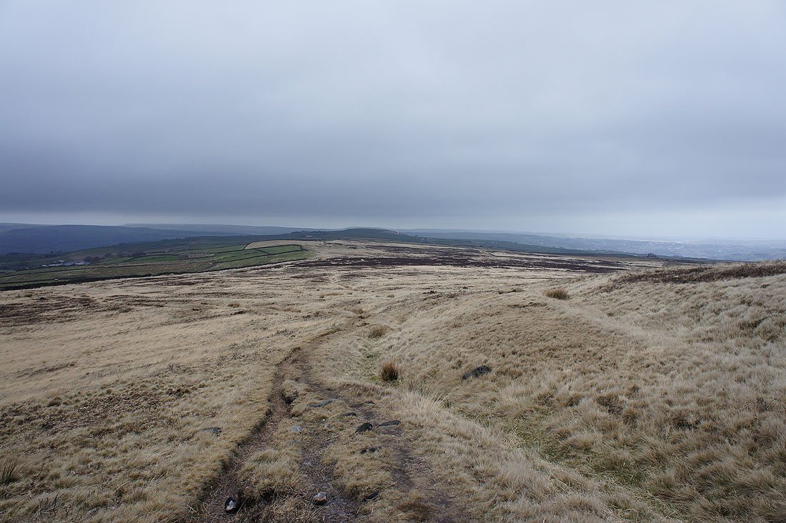
Making my way across to Great Manshead Hill
and looking back to Manshead End
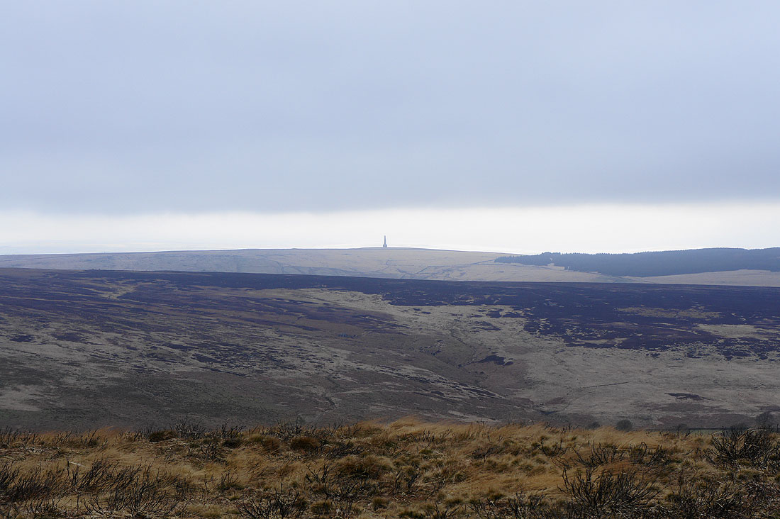
A zoom in on the Stoodley Pike monument
Turvin Clough below on the left becomes Cragg Vale further down the valley
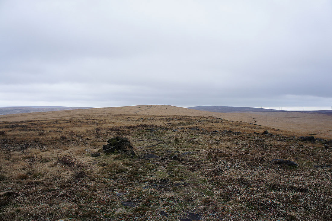
Access land ends ahead where the walls and pastures begin
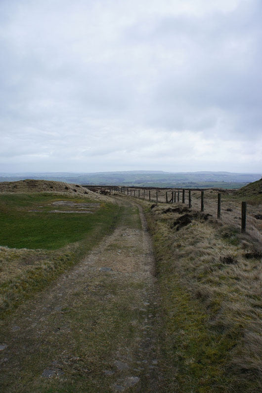
Briefly on the Calderdale Way
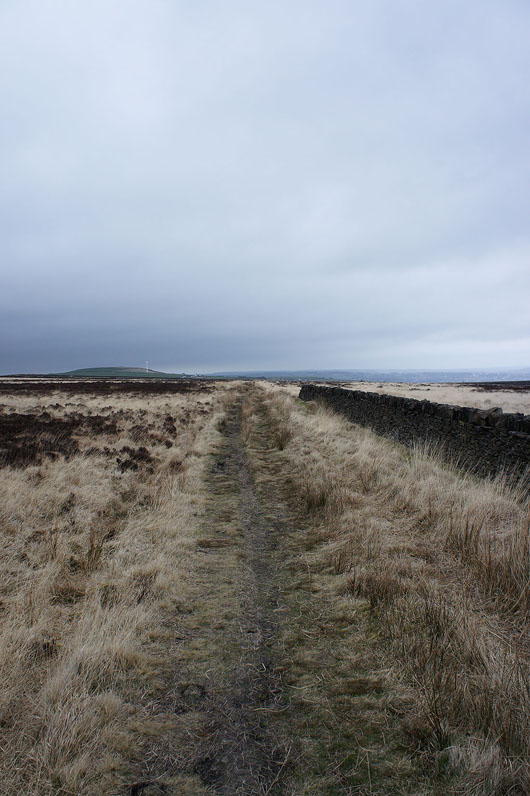
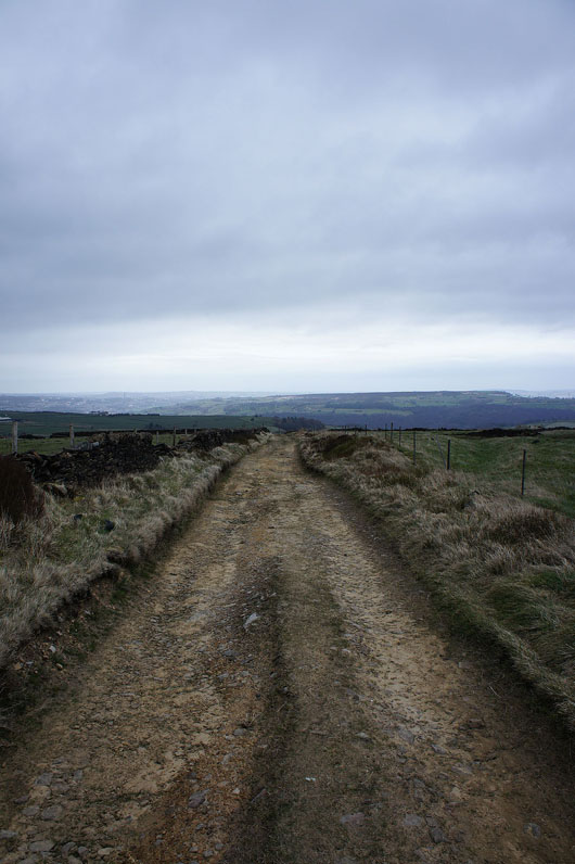
and following lanes and bridleways brought me to the gates of..
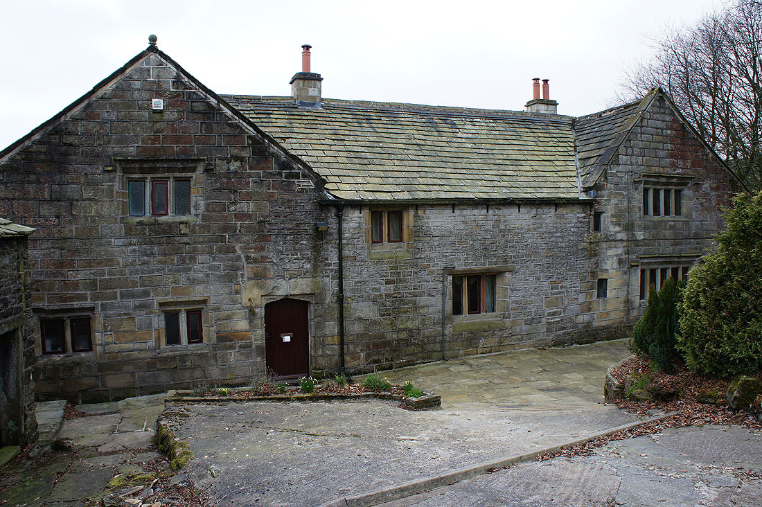
..Great Greave Farm. I hesitated at the gates to this building to check my route. The way passes to the right of the building to a gate with a footpath marker.
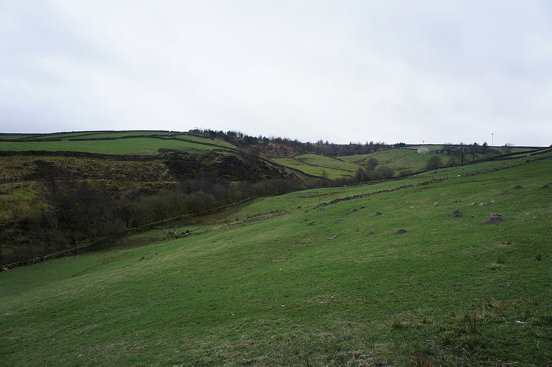
Blackshaw Clough from just below Great Greave Farm
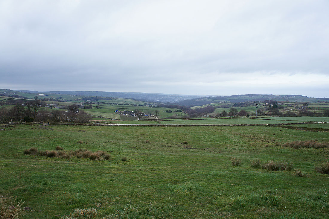
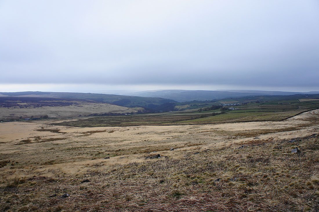
Looking down Severhills Clough towards Sowerby Bridge
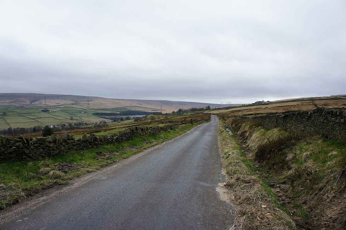
On Blue Ball Road and Baitings Reservoir is now in sight
Back at Baitings Reservoir