15th May 2010 - A Mosedale Horseshoe
Walk Details
Distance walked: 10.7 miles
Total ascent: 4935 ft
OS map used: OL4 - The English Lakes, North-western area
Time taken: 8 hrs
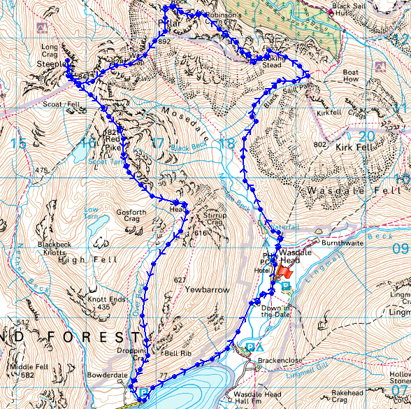
Route description: Wasdale Head-Mosedale-Black Sail Pass-Looking Stead-High Level Traverse-Pillar-Scoat Fell-Steeple-Scoat Fell-Red Pike-Dore Head-Overbeck Bridge-Wasdale Head
A walk round the Mosedale Horseshoe from Wasdale Head including Pillar by the high level traverse, Scoat Fell, Steeple and Red Pike.
Route map
Wasdale Head
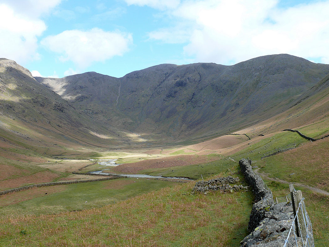
Mosedale
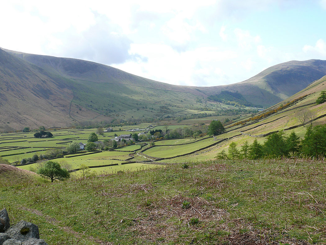
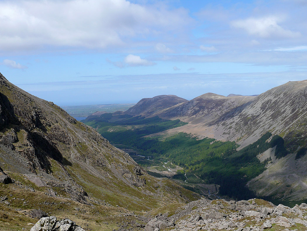
Looking back down to Wasdale Head
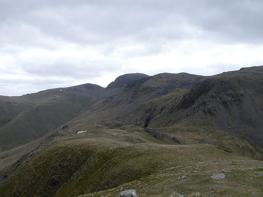
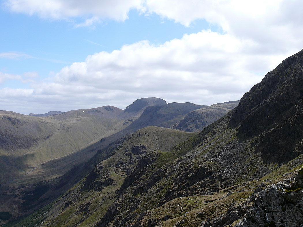
Green Gable and Great Gable
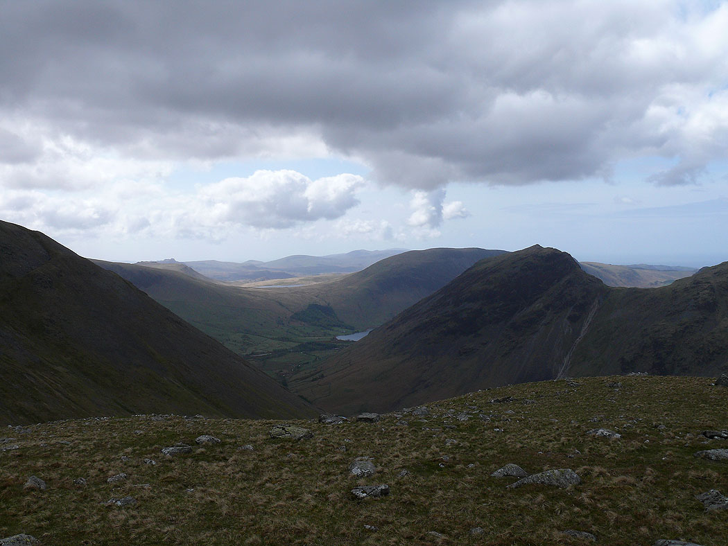
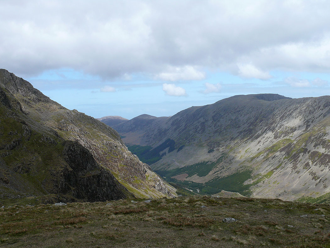
Ennerdale from Looking Stead
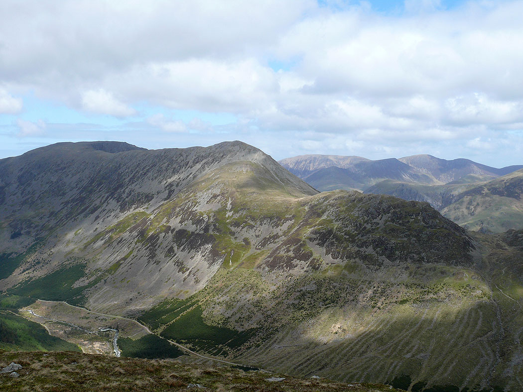
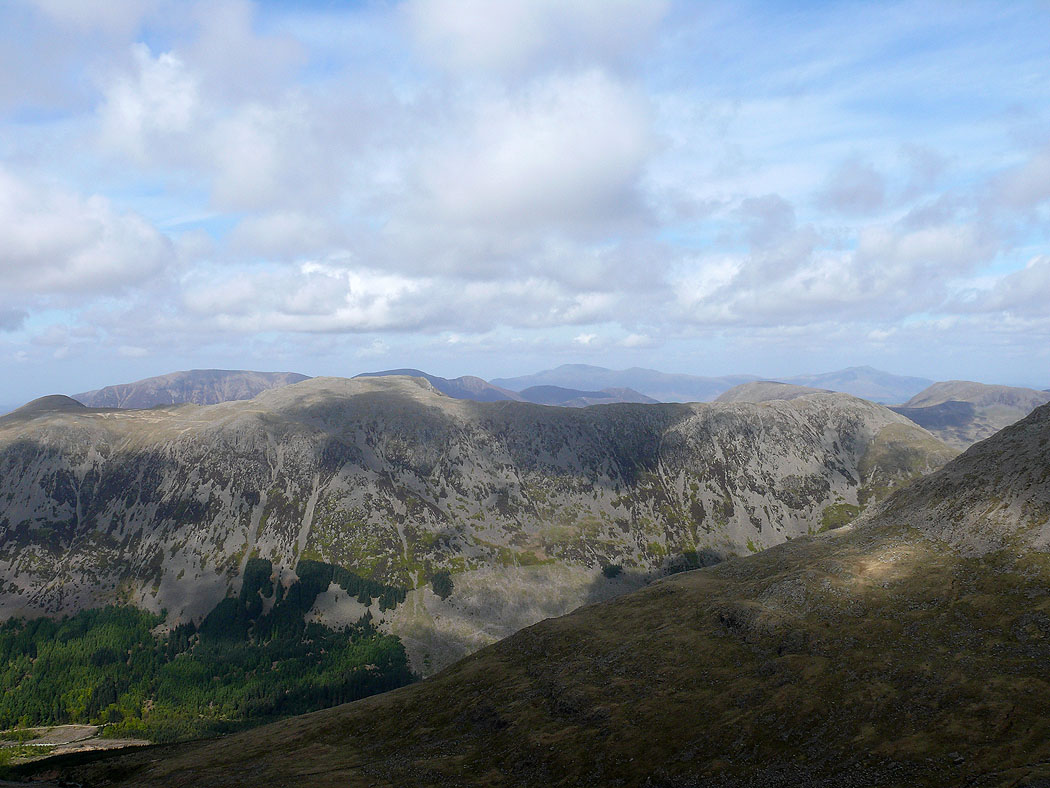
High Stile, High Crag and Seat with Grasmoor and Crag Hill beyond
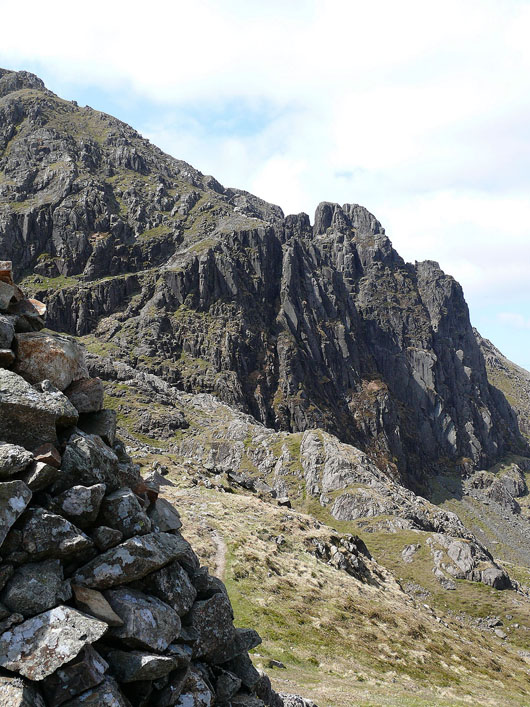
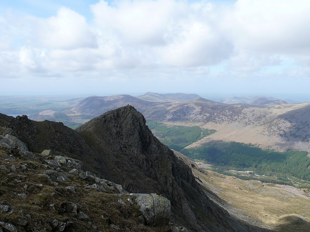
Pillar Rock from the Robinson cairn
Ennerdale
Looking back along the high level traverse
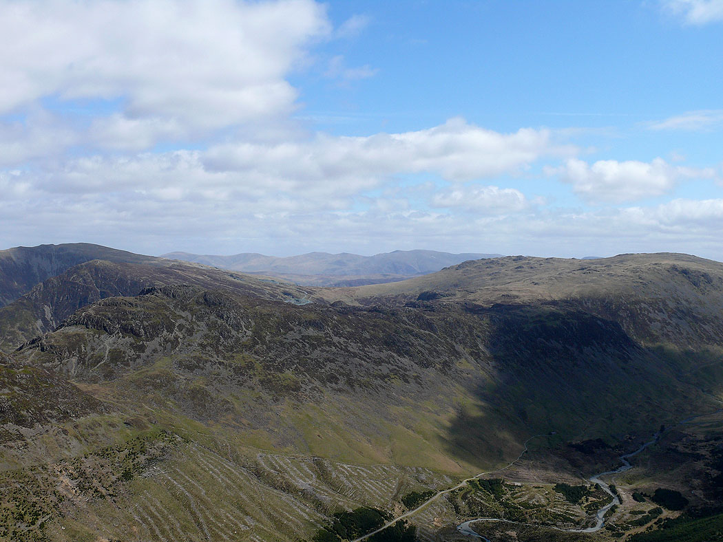
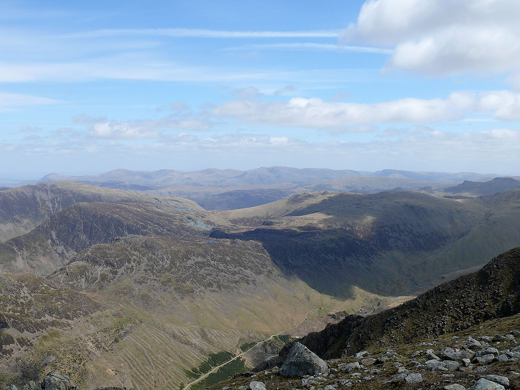
A view to the distant Helvellyn range
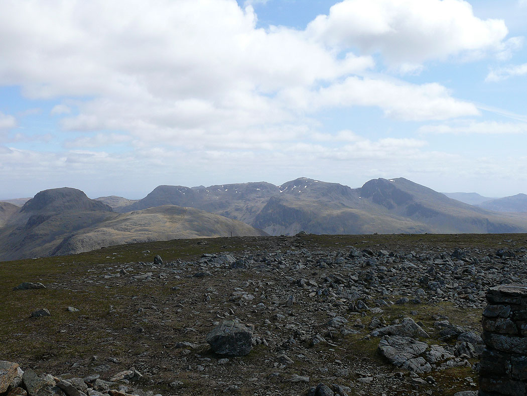
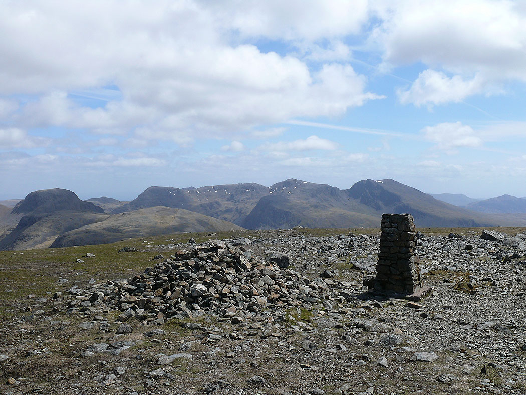
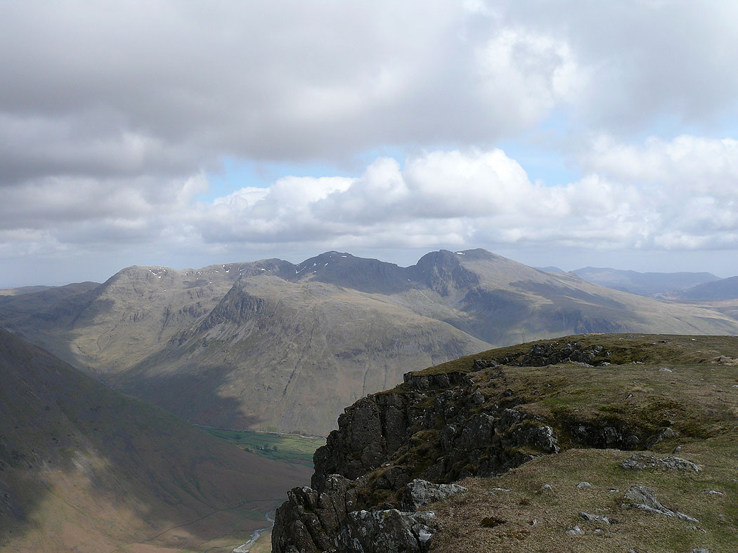
Great Gable and the Scafell range from the summit of Pillar
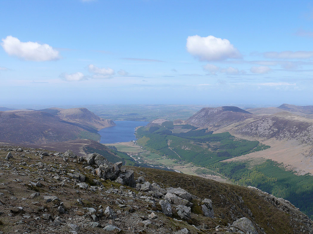
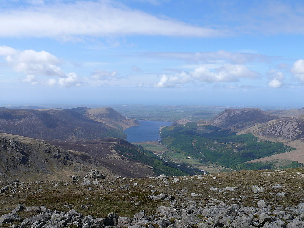
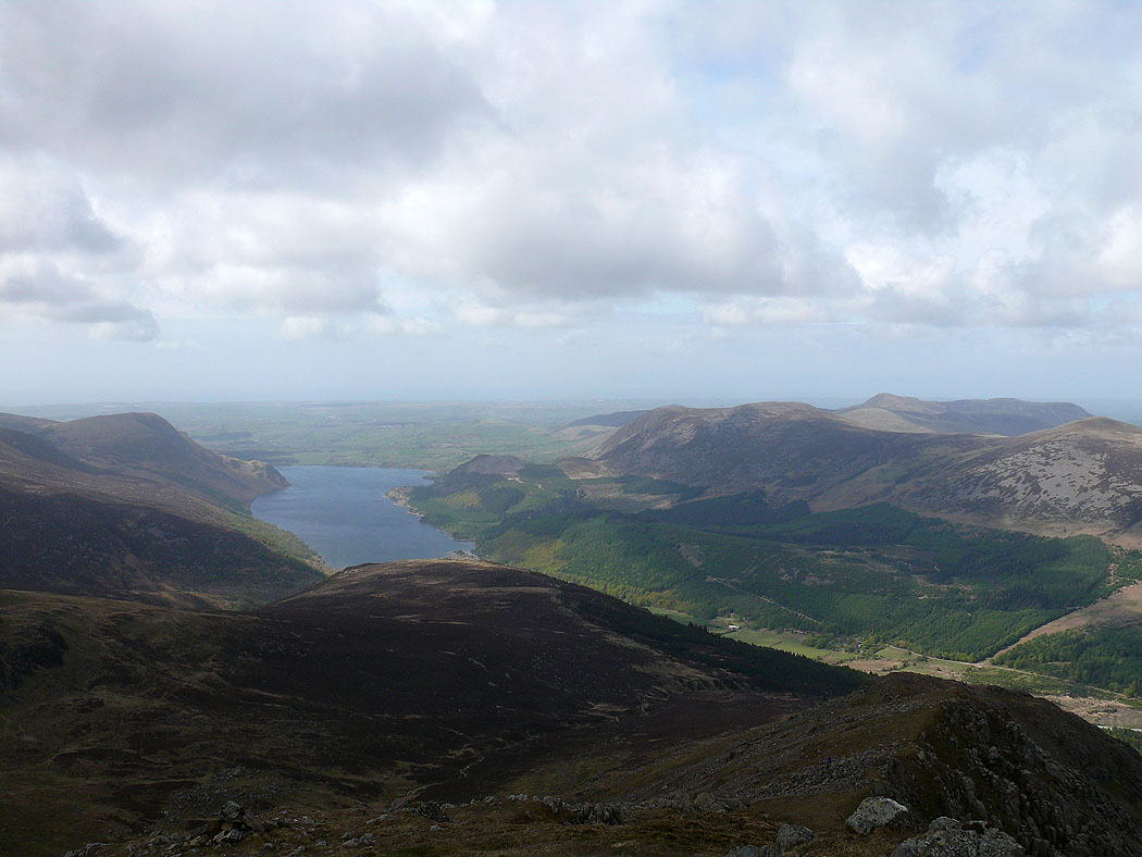
Ennerdale Water
Helvellyn range in the distance
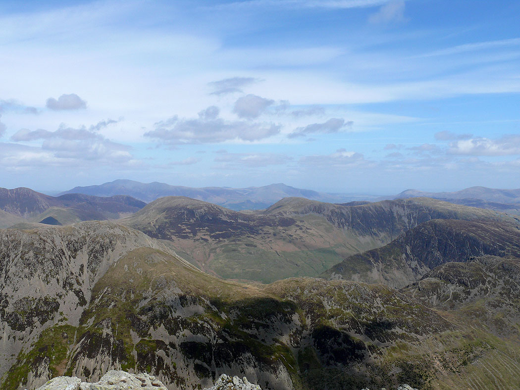
Across the north western fells to Skiddaw and Blencathra
High Stile and High Crag. Grasmoor, Crag Hill and Skiddaw behind.
Ennerdale Water
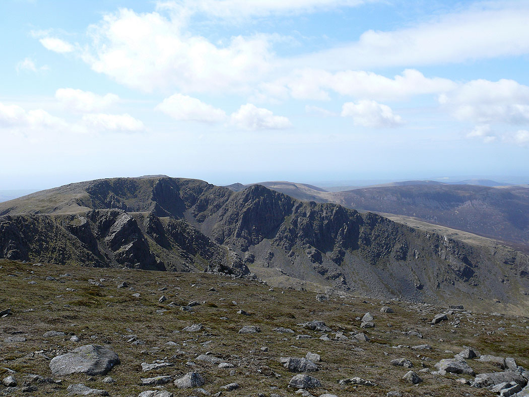
Scoat Fell and Steeple
Pillar summit
Steeple from Scoat Fell
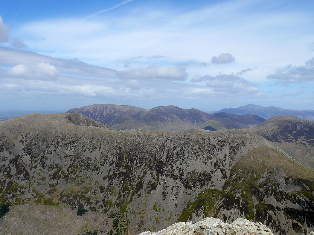
The High Stile range from Steeple
Ennerdale from Steeple
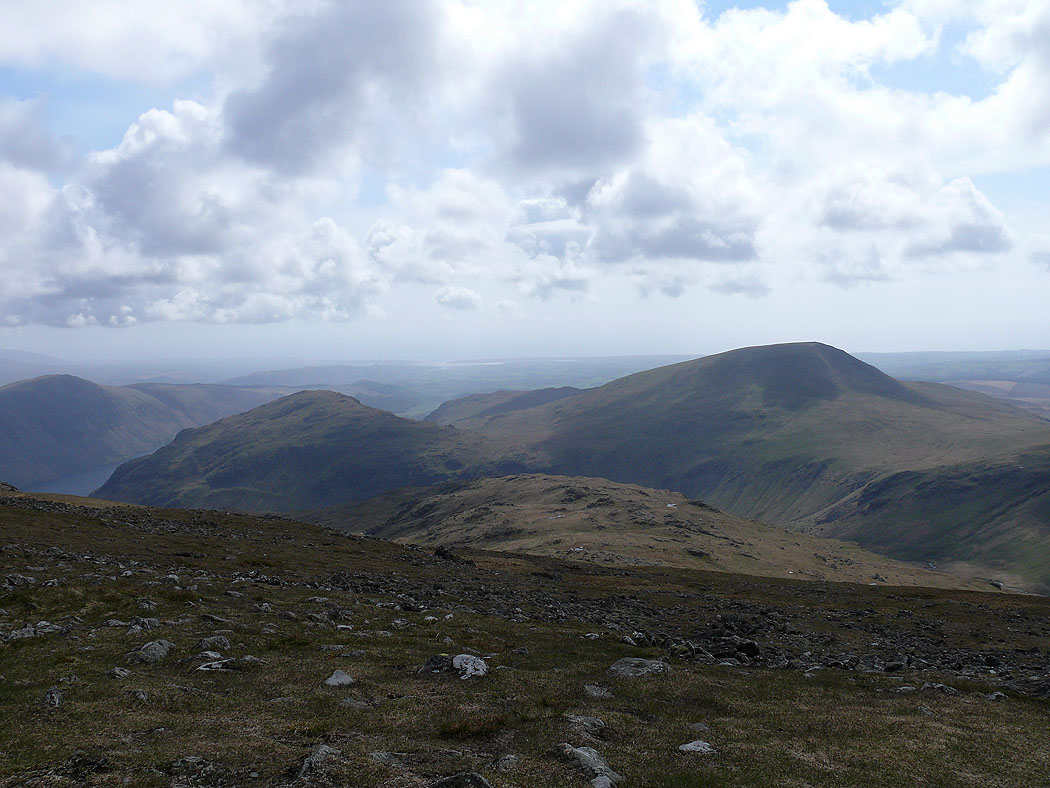
On Red Pike. A view to Middle Fell and Seatallan.
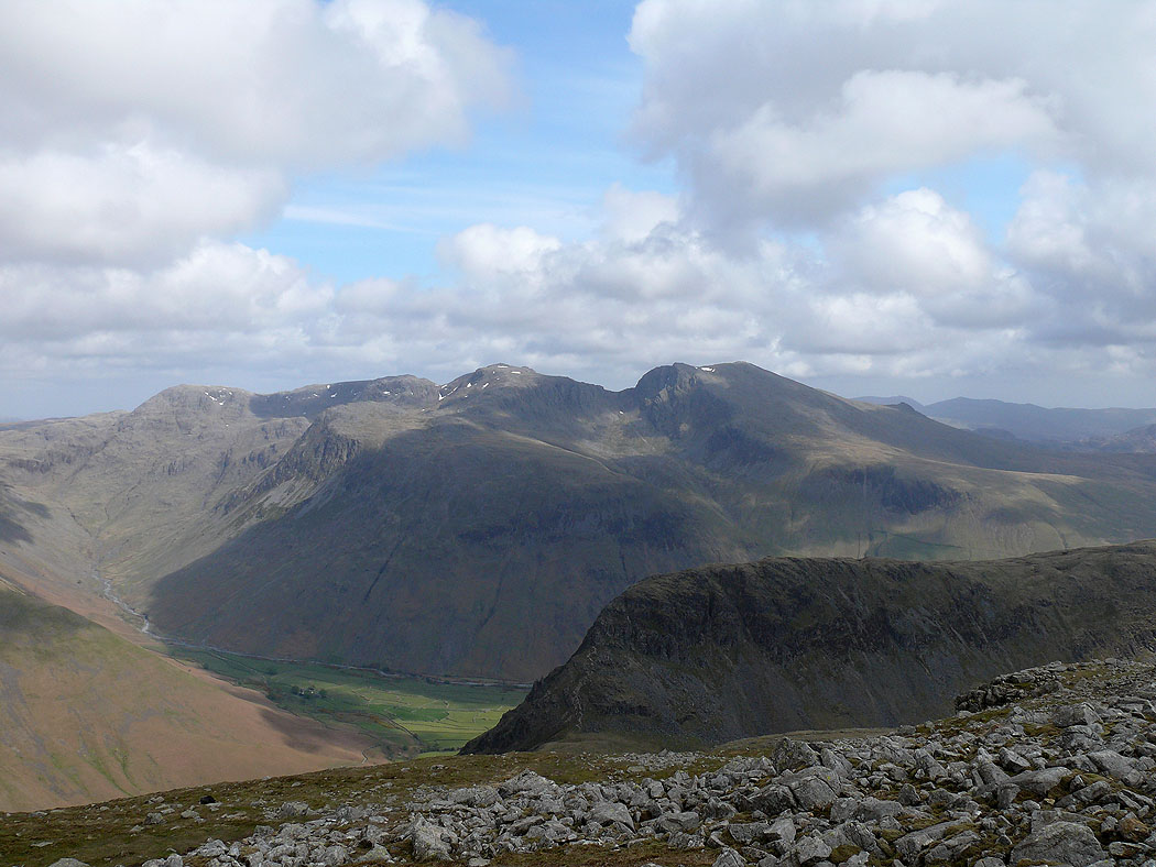
The Scafell range from Red Pike
A better view with Yewbarrow in the foreground
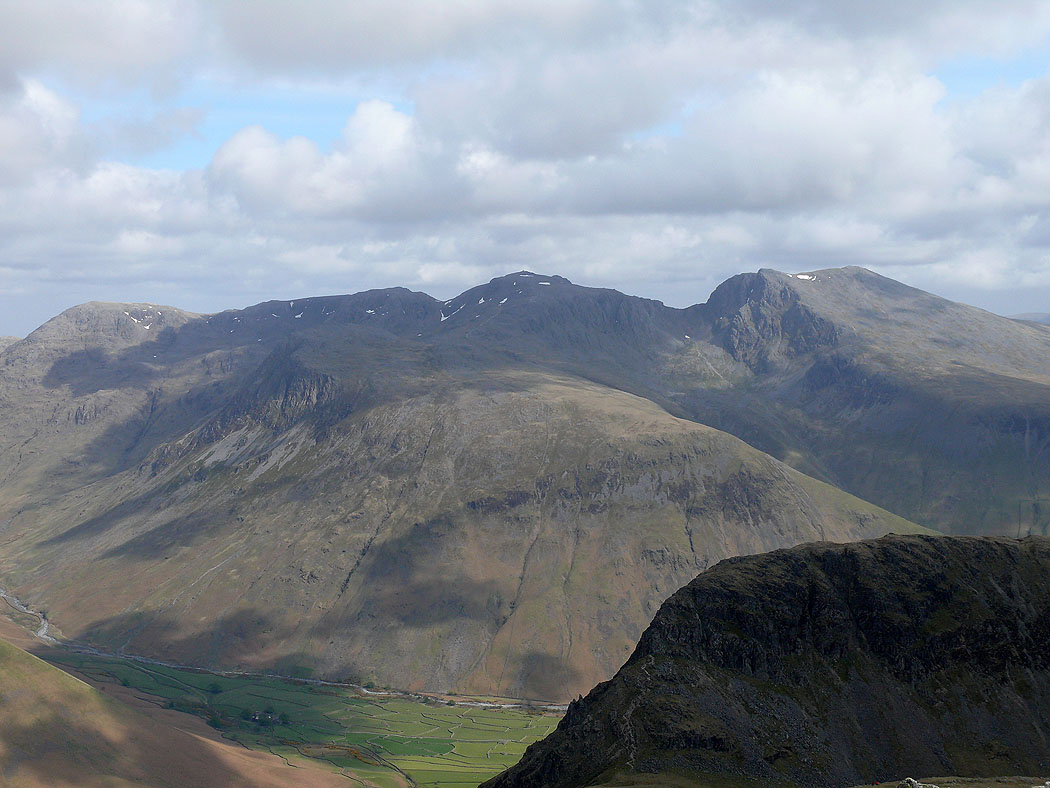
Zooming in
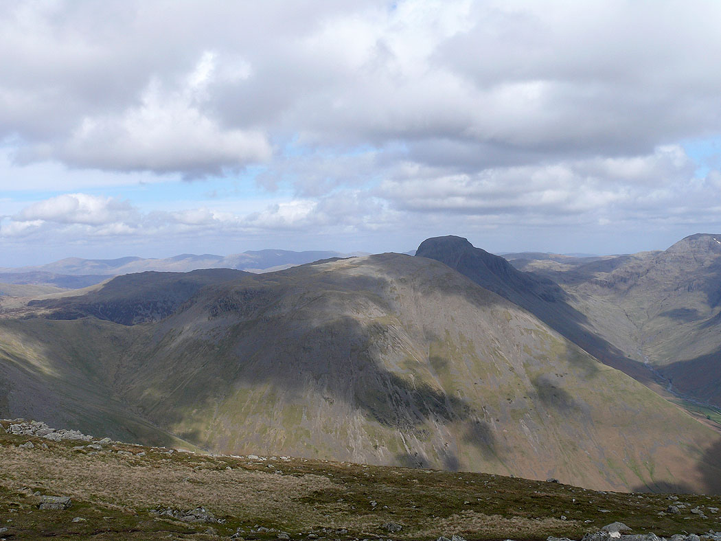
Kirk Fell and Great Gable
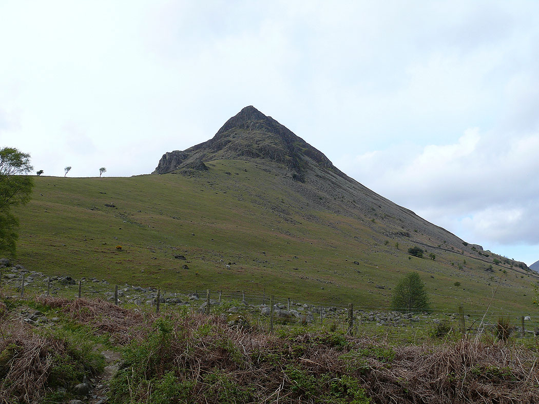
Yewbarrow from Over Beck
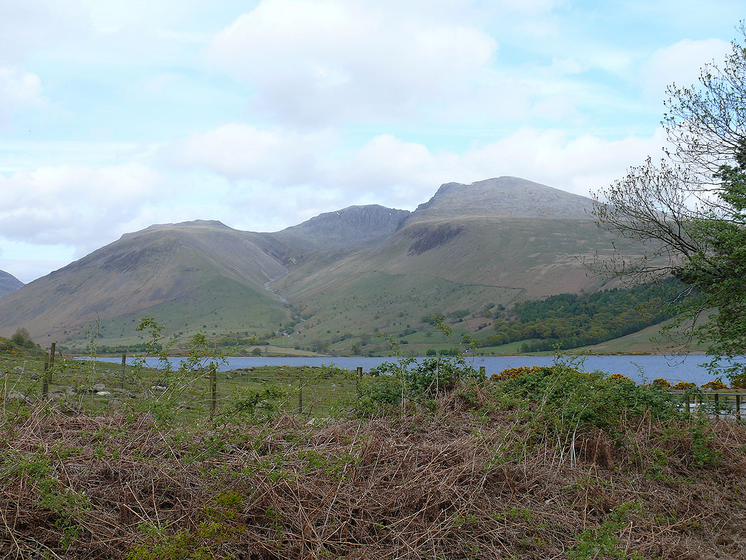
Next to Over Beck and a view of Lingmell, Scafell Pike and Scafell
