15th November 2009 - Bowscale Fell
Walk Details
Distance walked: 7.2 miles
Total ascent: 2135 ft
OS map used: OL5 - The English Lakes, North-eastern area
Time taken: 5 hrs
Route description: Mungrisdale-Bowscale Fell-Glendermackin Col-River Glendermackin-Souther Fell-Mungrisdale
Not many photos taken on this walk I'm afraid. The forecast of sunshine and showers turned into persistant rain and low cloud so the camera stayed in the rucksack for most of the time.
Route map
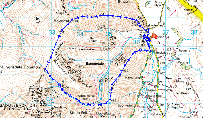
© Crown copyright. All rights reserved. License number PU 100034184.
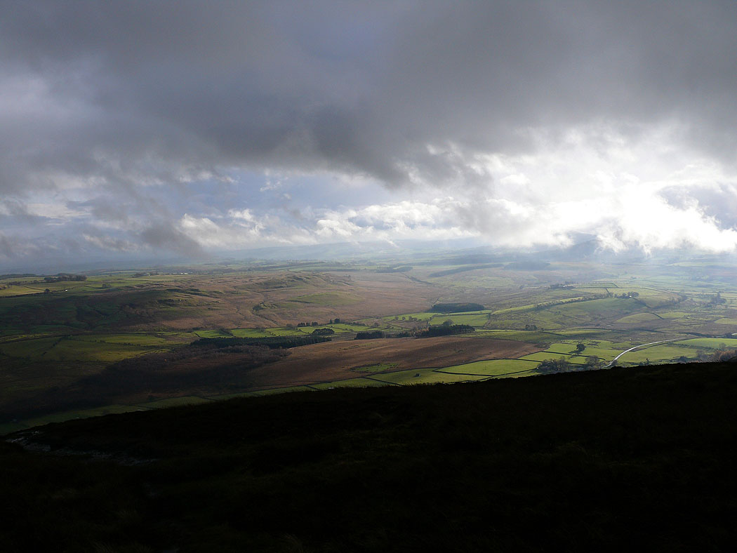
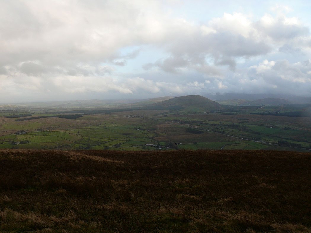
A brief glimpse of sun on Eycott Hill as I make my way up Bowscale Fell
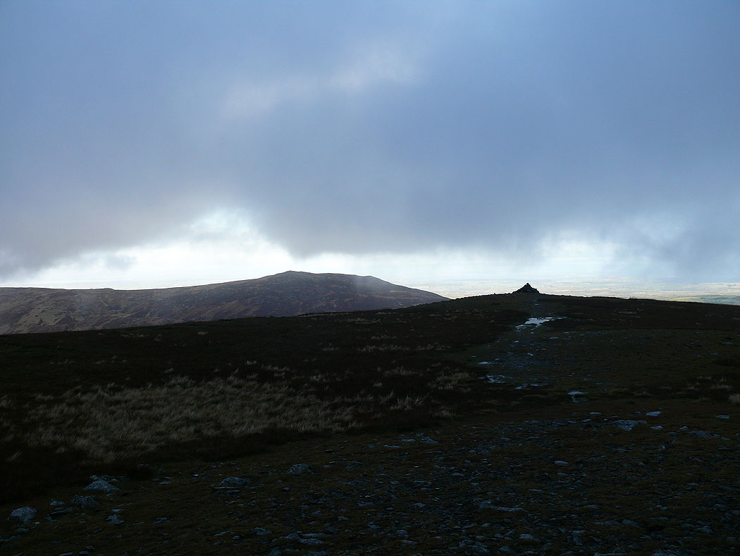
A break in the clouds allows a view of Carrock Fell from Bowscale Fell
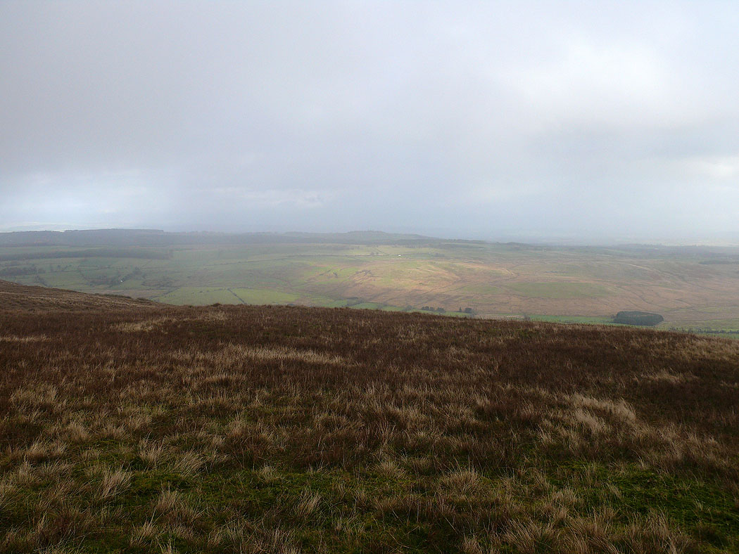
Eycott Hill from Souther Fell
and finally on Souther Fell looking across to Great Mell Fell