15th November 2020 - Weets Hill
Walk Details
Distance walked: 8.7 miles
Total ascent: 1533 ft
OS map used: OL21 - South Pennines
Time taken: 4 hrs
Route description: Foulridge-Hey-Hey Fold-Booth House Farm-High Lane-Copy Nook-Lister Well Road-Folly Lane-Pendle Way-Weets Hill-Weets House Farm-Gisburn Old Road-Peel's House Farm-Hollin Hall-Barnoldswick Road-Slipper Hill Reservoir-Reedymoor Lane-Barnoldswick Road-Foulridge
It's been nearly two months since I last visited Weets Hill and since I'm restricted in where I can go walking anyway, this was a good destination for my walk this weekend, and I don't even have to drive anywhere. There was some blustery and turbulent autumnal weather to put up while I was on the moors, but I considered myself fortunate that I did fairly well in avoiding the showers that were around. A brief one passed through while I was on the bridleway of Lister Well Road, and another when I was on Reedymoor Lane and heading back home. Apart from those, there were sunny spells and strong winds for enjoying the views of the moors in their autumnal colours.
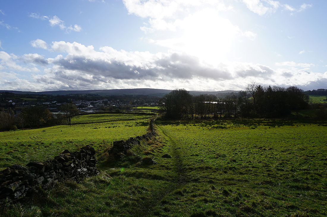
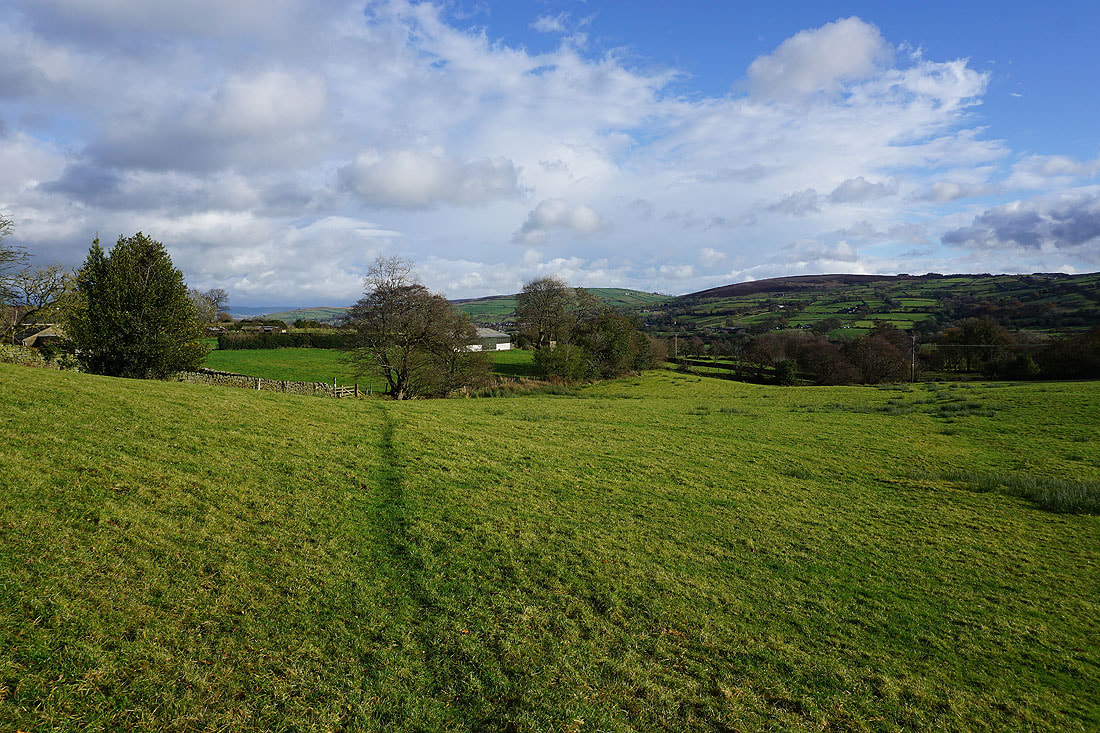
Setting off from home I walked to the western end of Station Road and took the footpath straight up the hill and across fields to the corner of Whitemoor Road. Here I turned right and took a lane past some houses, then a footpath on the right down to Hey Fold. The next bit was a little complicated as I took the footpath right at Hey Fold, then left across the crest of a little hill and past Hullet Hall down to County Brook Lane. I briefly walked down the lane, took a footpath on the left through a patch of woodland and across a bridge over County Brook, before resuming following footpaths north across fields past Wood End Farm to Booth House Farm, where I took a footpath up a field to High Lane. I then walked a short distance north along High Lane, then took a track on the left and followed it uphill past Copy Nook to the bridleway of Lister Well Road. I then walked down Lister Well Road until I reached a gate on the left and a footpath across access land to Higher View at the top of Folly Lane. I then walked down Folly Lane until I reached a stile and the trail of the Pendle Way. The stile was crossed and the Pendle Way followed up to the summit of Weets Hill. After taking in the view I returned to the Pendle Way to reach Weets House Farm at the top of Gisburn Old Road. I then walked down Gisburn Old Road until I reached Peel's House Farm where I took a bridleway on the right, then at the end of this I turned left and followed a footpath by the wall, before crossing the wall and taking a footpath down through fields to Hollin Hall on Barnoldswick Road. I crossed the road and took the footpath opposite down through fields to where it meets the lane by Slipper Hill Reservoir. I then took the footpath round Slipper Hill Reservoir to reach a track past Sand Hall to Reedymoor Lane. After walking north along Reedymoor Lane I turned right onto Barnoldswick Road and followed this back to Foulridge and home.
Total ascent: 1533 ft
OS map used: OL21 - South Pennines
Time taken: 4 hrs
Route description: Foulridge-Hey-Hey Fold-Booth House Farm-High Lane-Copy Nook-Lister Well Road-Folly Lane-Pendle Way-Weets Hill-Weets House Farm-Gisburn Old Road-Peel's House Farm-Hollin Hall-Barnoldswick Road-Slipper Hill Reservoir-Reedymoor Lane-Barnoldswick Road-Foulridge
It's been nearly two months since I last visited Weets Hill and since I'm restricted in where I can go walking anyway, this was a good destination for my walk this weekend, and I don't even have to drive anywhere. There was some blustery and turbulent autumnal weather to put up while I was on the moors, but I considered myself fortunate that I did fairly well in avoiding the showers that were around. A brief one passed through while I was on the bridleway of Lister Well Road, and another when I was on Reedymoor Lane and heading back home. Apart from those, there were sunny spells and strong winds for enjoying the views of the moors in their autumnal colours.
Setting off from home I walked to the western end of Station Road and took the footpath straight up the hill and across fields to the corner of Whitemoor Road. Here I turned right and took a lane past some houses, then a footpath on the right down to Hey Fold. The next bit was a little complicated as I took the footpath right at Hey Fold, then left across the crest of a little hill and past Hullet Hall down to County Brook Lane. I briefly walked down the lane, took a footpath on the left through a patch of woodland and across a bridge over County Brook, before resuming following footpaths north across fields past Wood End Farm to Booth House Farm, where I took a footpath up a field to High Lane. I then walked a short distance north along High Lane, then took a track on the left and followed it uphill past Copy Nook to the bridleway of Lister Well Road. I then walked down Lister Well Road until I reached a gate on the left and a footpath across access land to Higher View at the top of Folly Lane. I then walked down Folly Lane until I reached a stile and the trail of the Pendle Way. The stile was crossed and the Pendle Way followed up to the summit of Weets Hill. After taking in the view I returned to the Pendle Way to reach Weets House Farm at the top of Gisburn Old Road. I then walked down Gisburn Old Road until I reached Peel's House Farm where I took a bridleway on the right, then at the end of this I turned left and followed a footpath by the wall, before crossing the wall and taking a footpath down through fields to Hollin Hall on Barnoldswick Road. I crossed the road and took the footpath opposite down through fields to where it meets the lane by Slipper Hill Reservoir. I then took the footpath round Slipper Hill Reservoir to reach a track past Sand Hall to Reedymoor Lane. After walking north along Reedymoor Lane I turned right onto Barnoldswick Road and followed this back to Foulridge and home.
Route map
© Crown copyright. All rights reserved. License number PU 100034184.
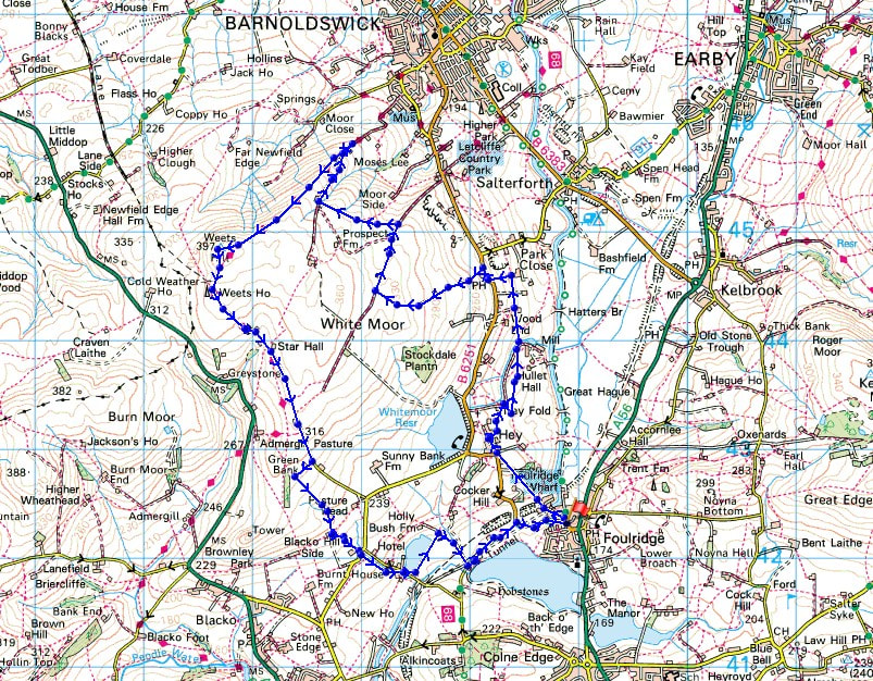
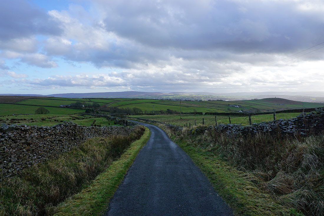
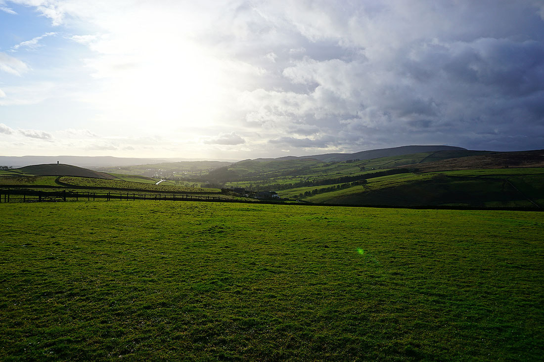
Leaving Foulridge behind with Boulsworth Hill in the distance
Blue skies above White Moor
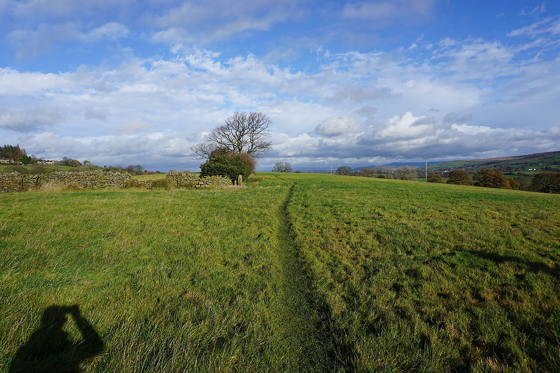
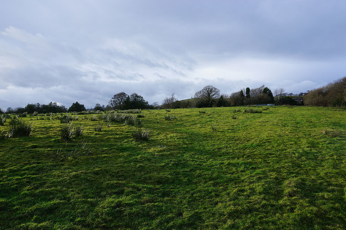
Autumnal colours as I follow the footpath north from Hey Fold to County Brook...
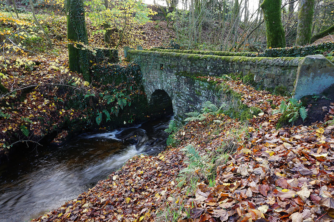
Across the footbridge over County Brook
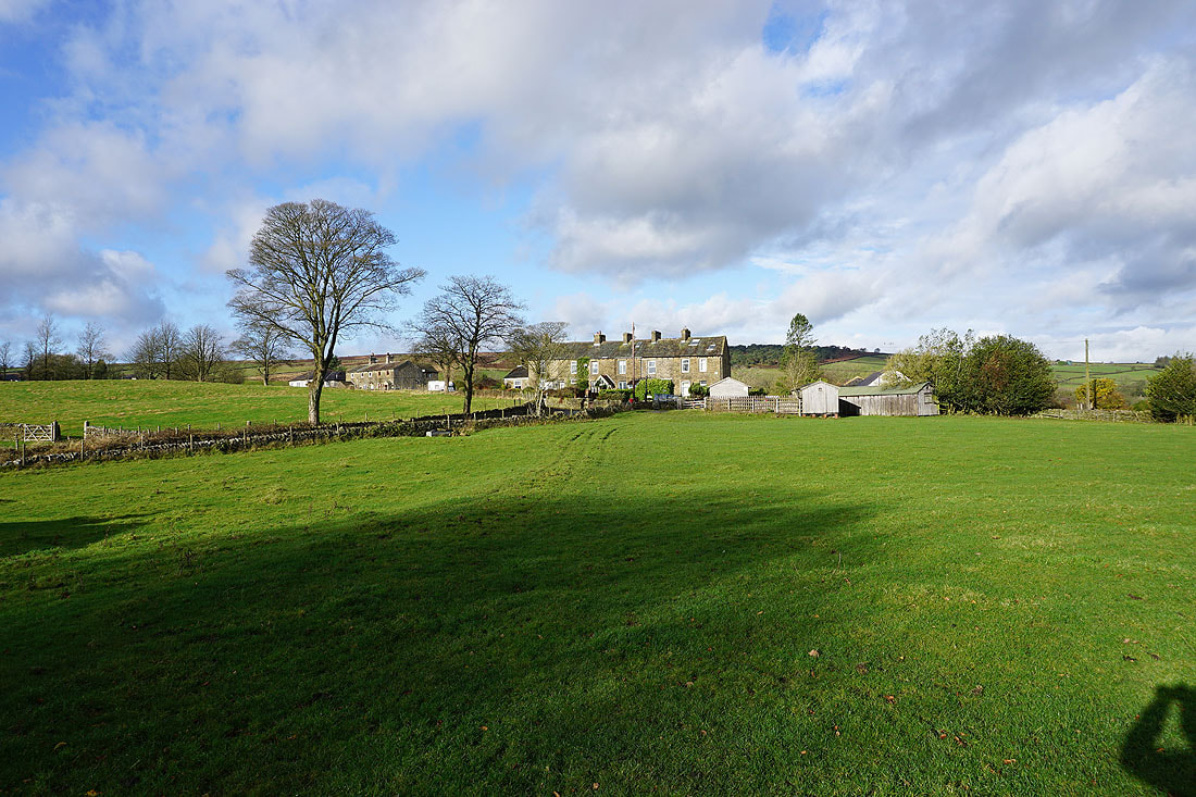
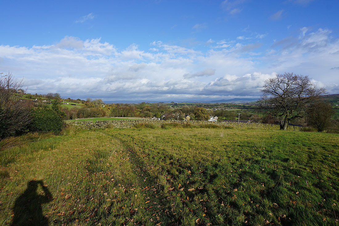
Bleara Moor, Kelbrook and Kelbrook Moor from High Lane
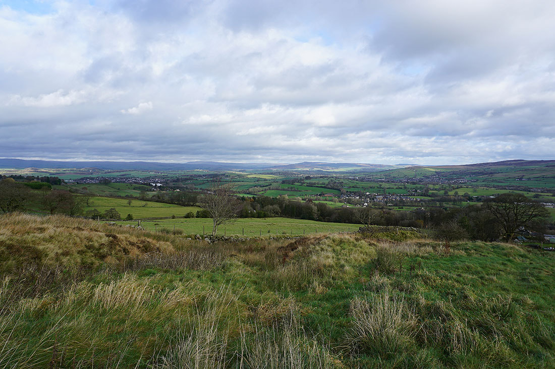
Great Whernside and Barden Moor in the distance as I follow the track up onto White Moor
and Boulsworth Hill
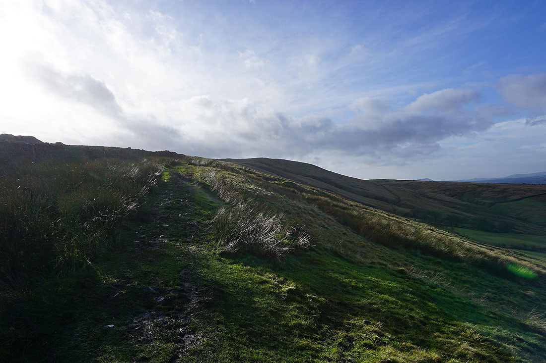
Heading up onto White Moor and to the bridleway of Lister Well Road
Looking back with Barden Moor, Earby, Thornton Moor, Bleara Moor and Kelbrook in the distance
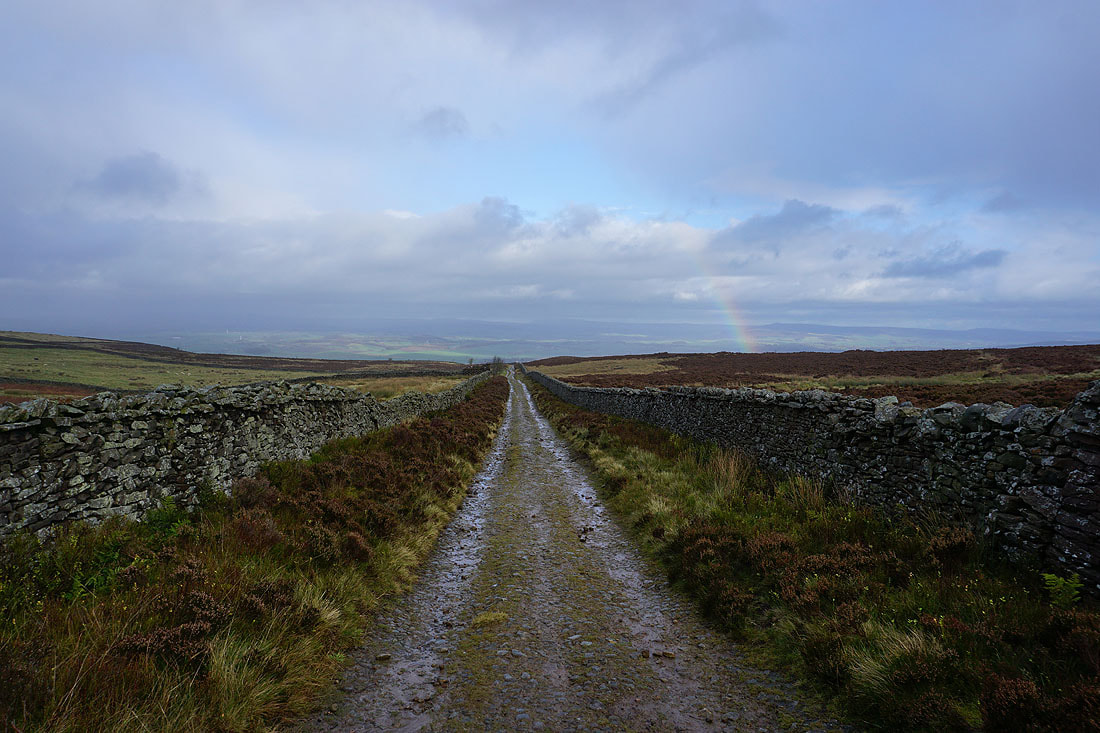
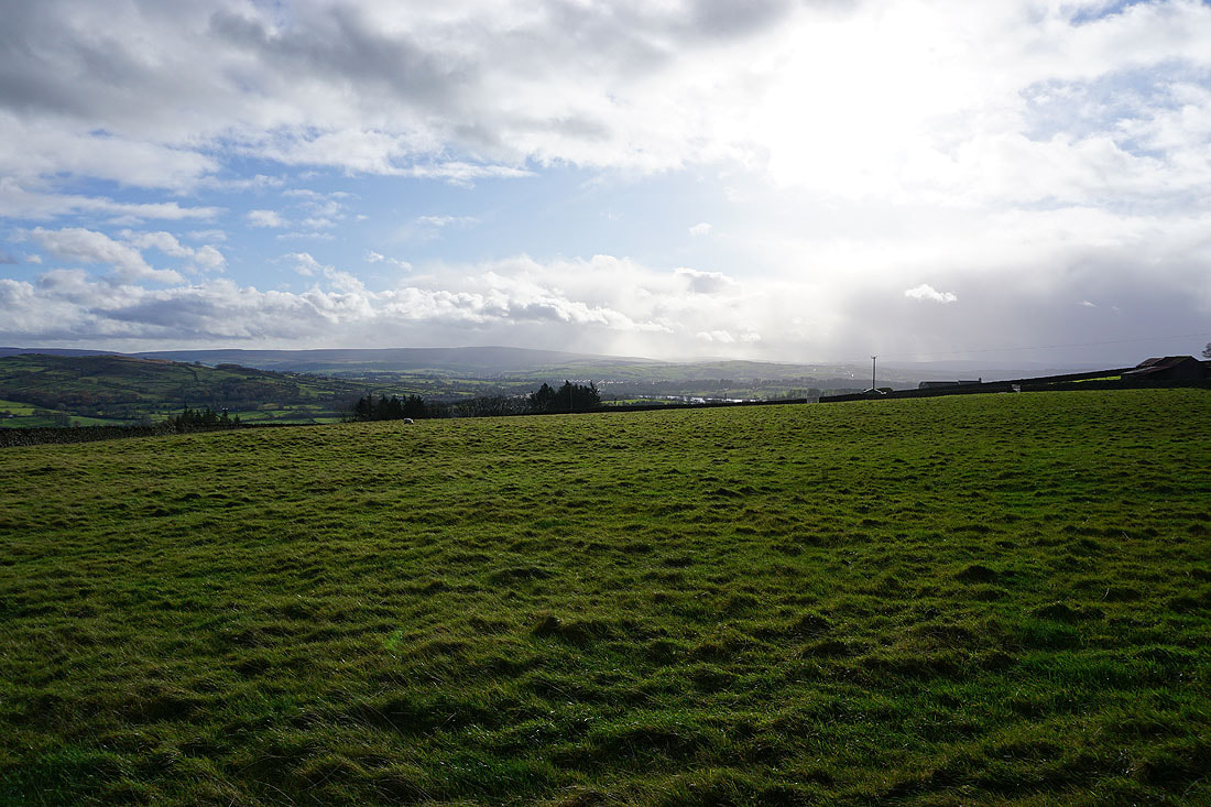
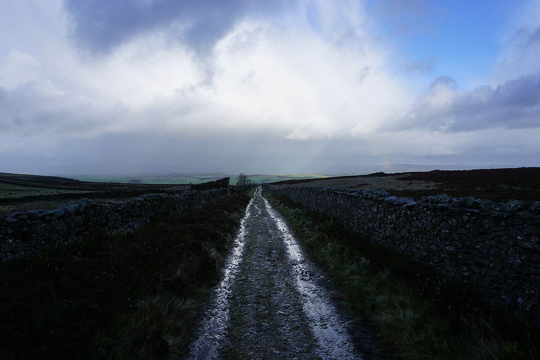
A shower quickly passes through while I'm on Lister Well Road and leaves behind a rainbow...
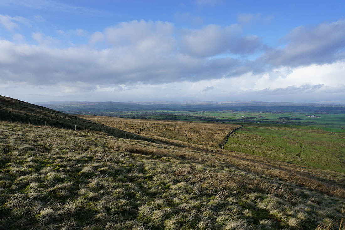
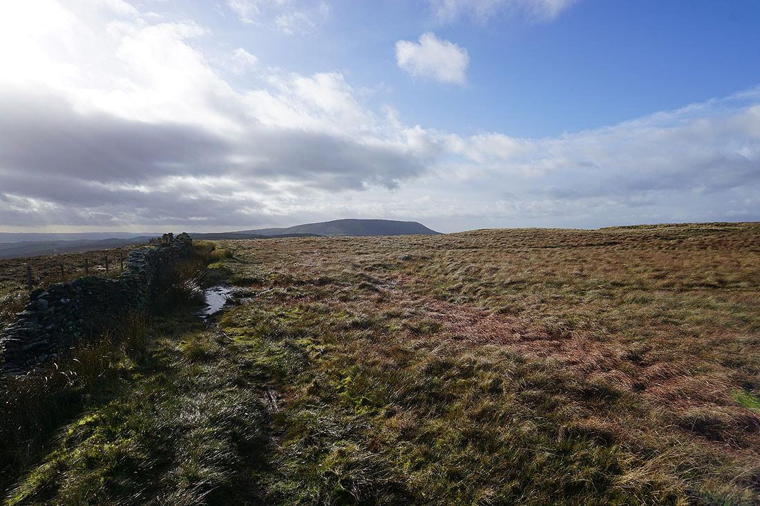
Looking towards Barden Moor as I take the path from Lister Well Road across to Folly Lane
The distant western fells of the Yorkshire Dales are hidden by cloud
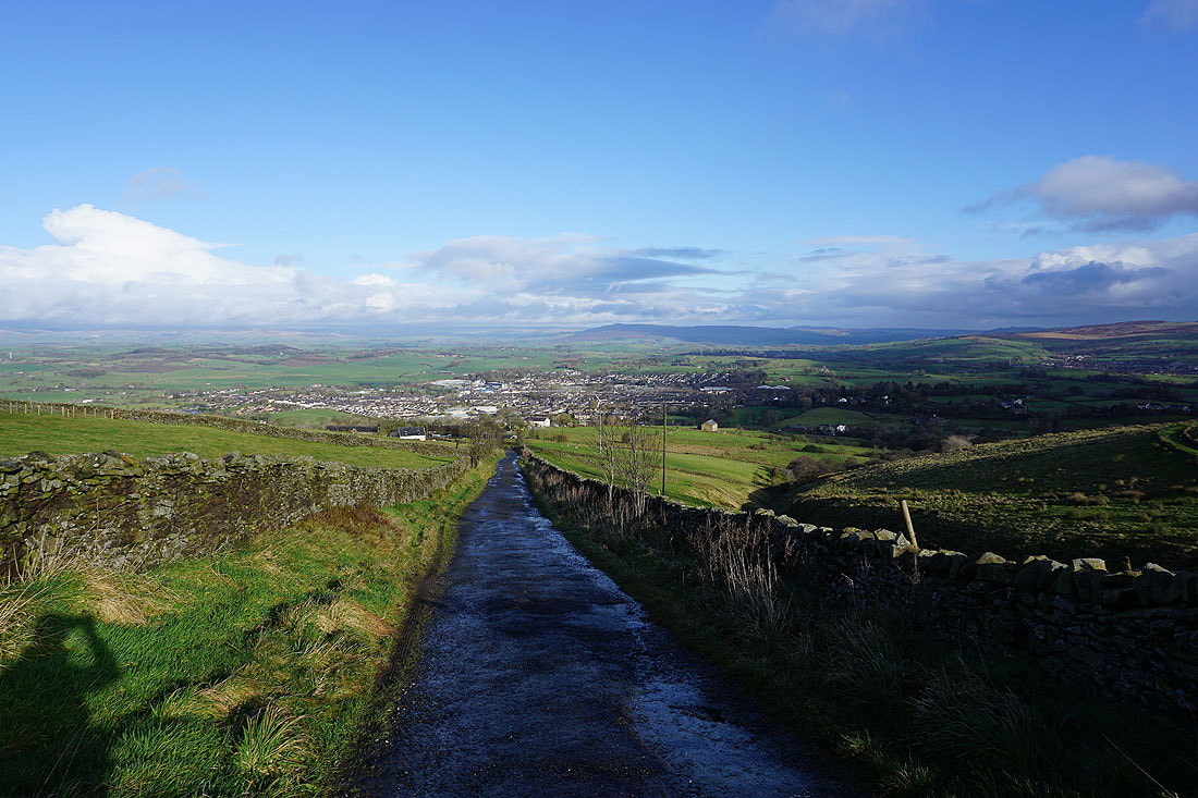
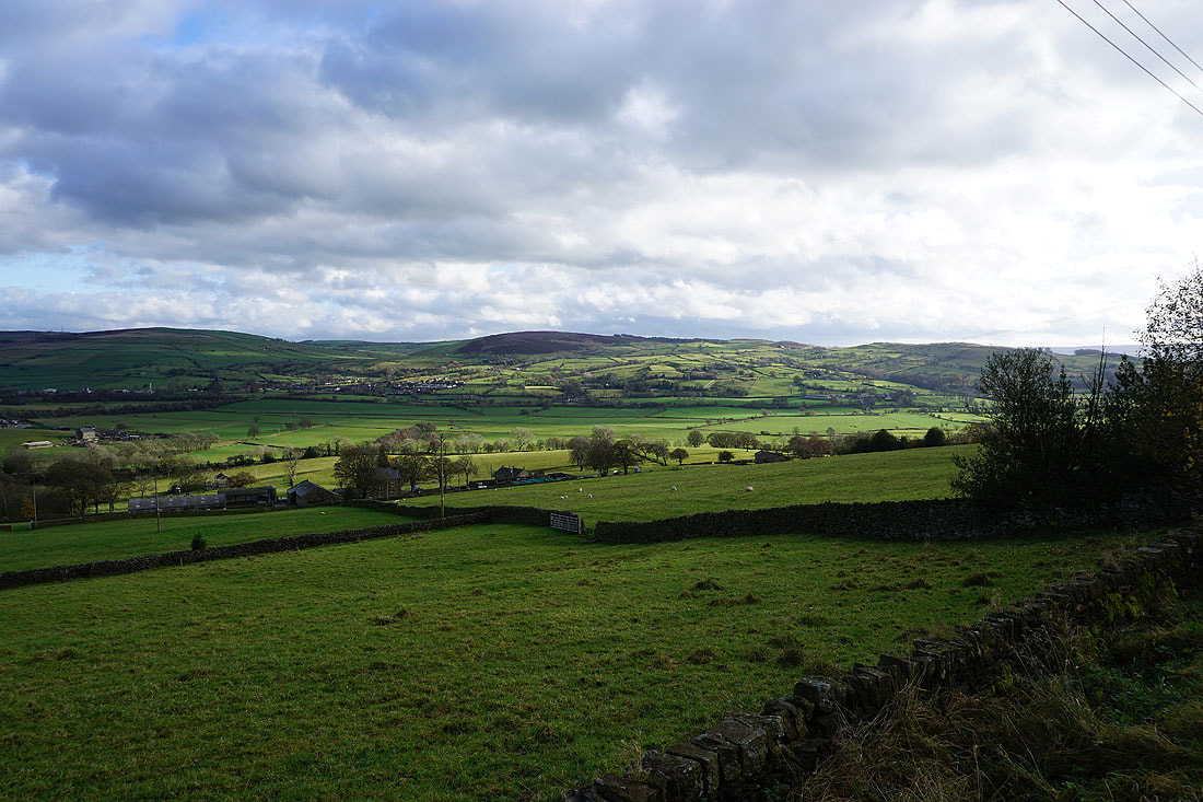
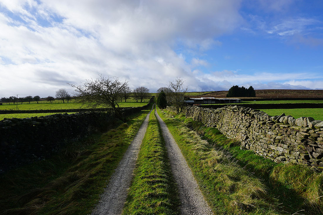
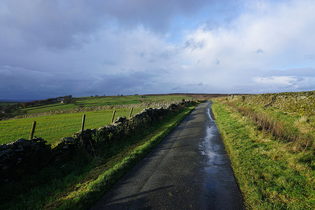
Heading down Folly Lane with Barnoldswick below

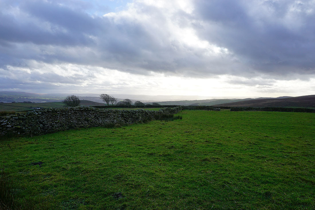
Belted Galloways
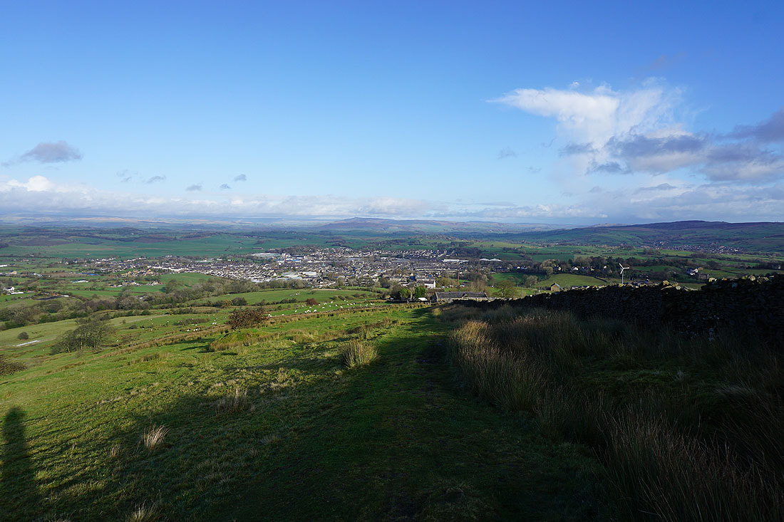
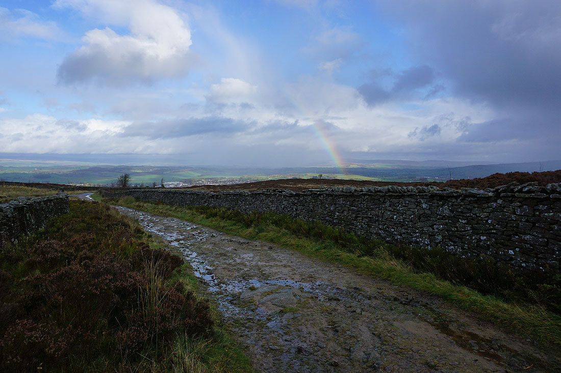
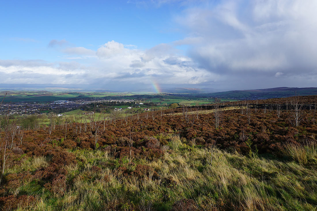
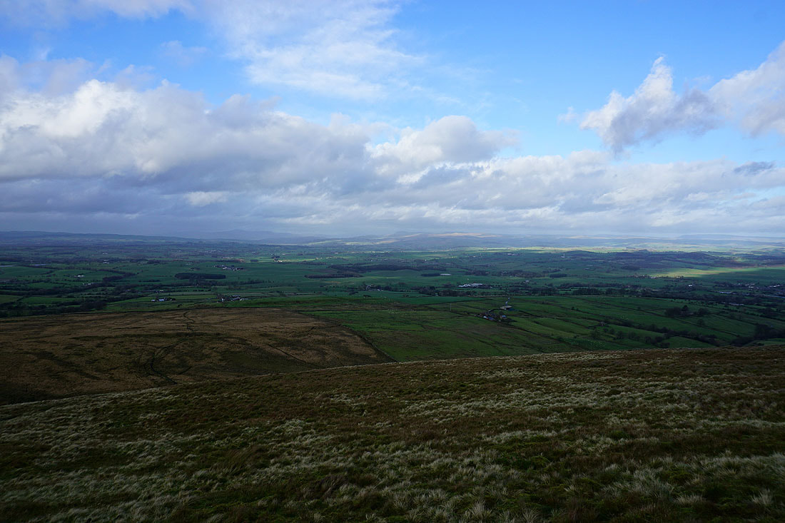
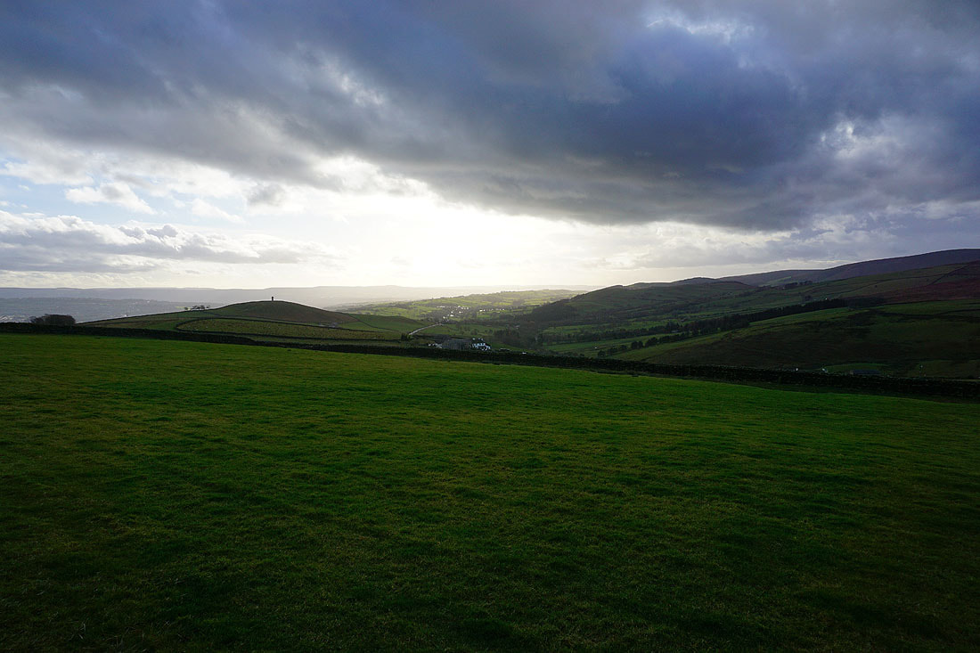
Looking down on the town of Barnoldswick as I follow the Pendle Way up Weets Hill
The tops of the hills in the Yorkshire Dales to the north are still hidden by cloud
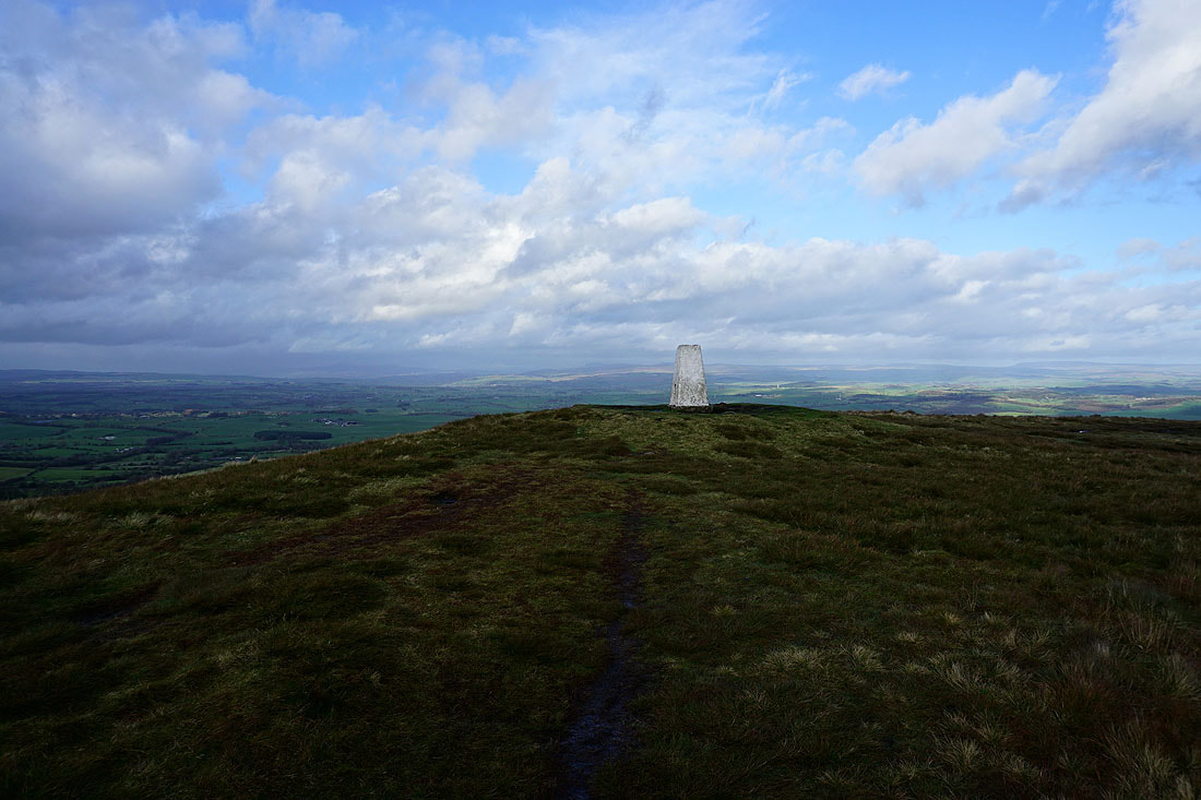
Not far to go to reach the top
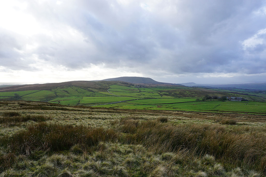
The fells of the Forest of Bowland on the other side of the Ribble Valley
The view north from the eastern end of the summit
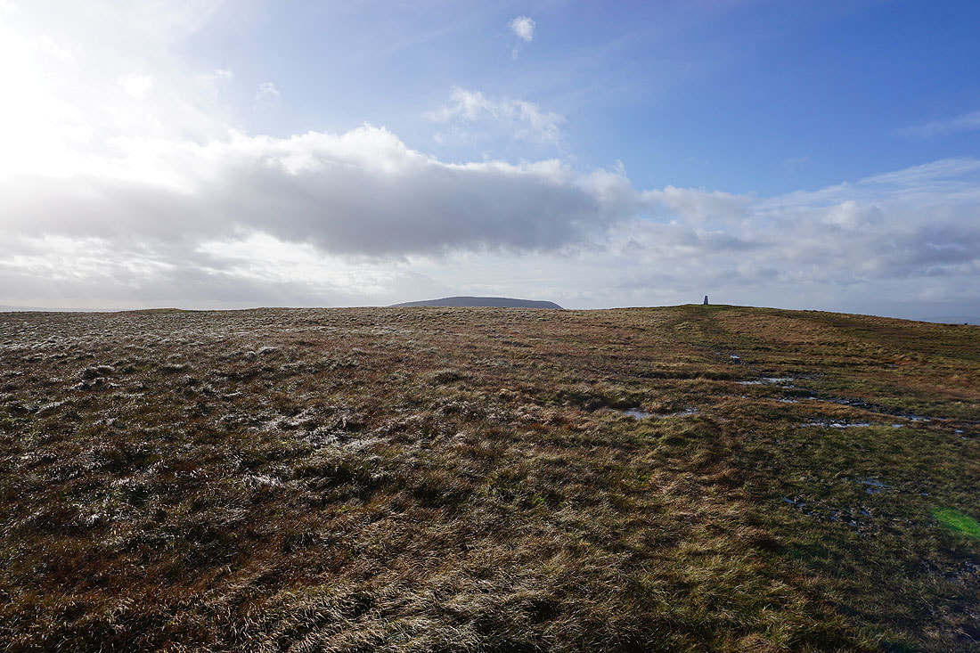
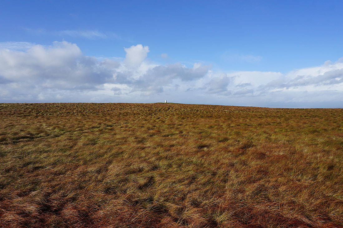
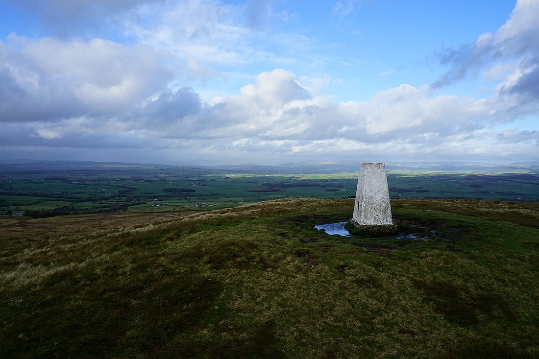
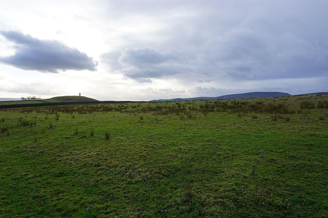
The trig point is now in sight, along with the top of Pendle Hill
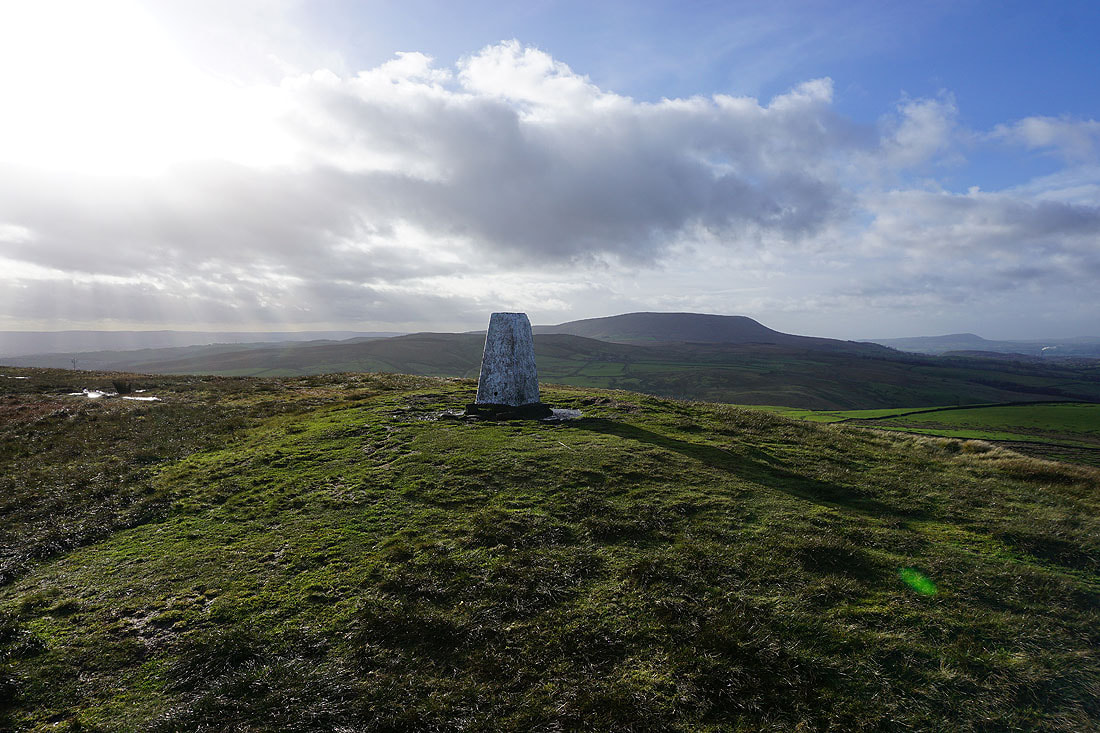
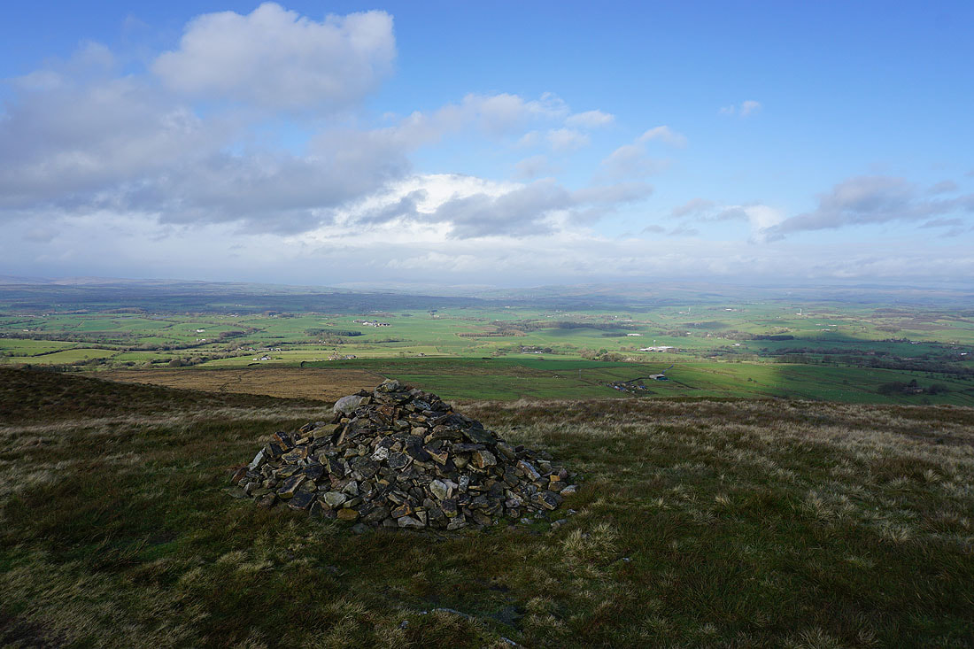
Pendle Hill from the trig point on Pendle Hill
Thornton Moor, Bleara Moor and Kelbrook Moor to the east
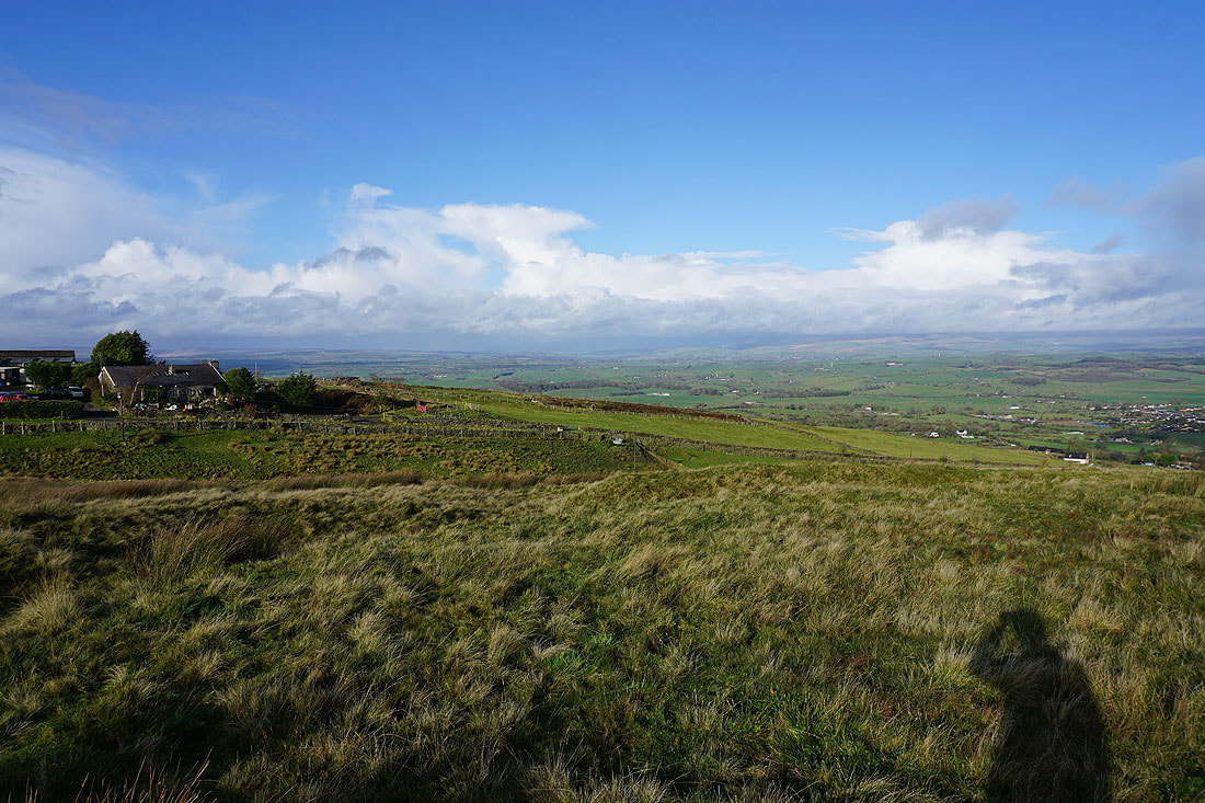
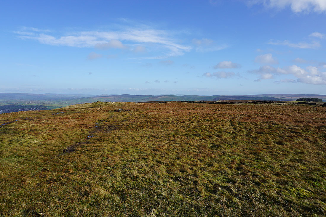
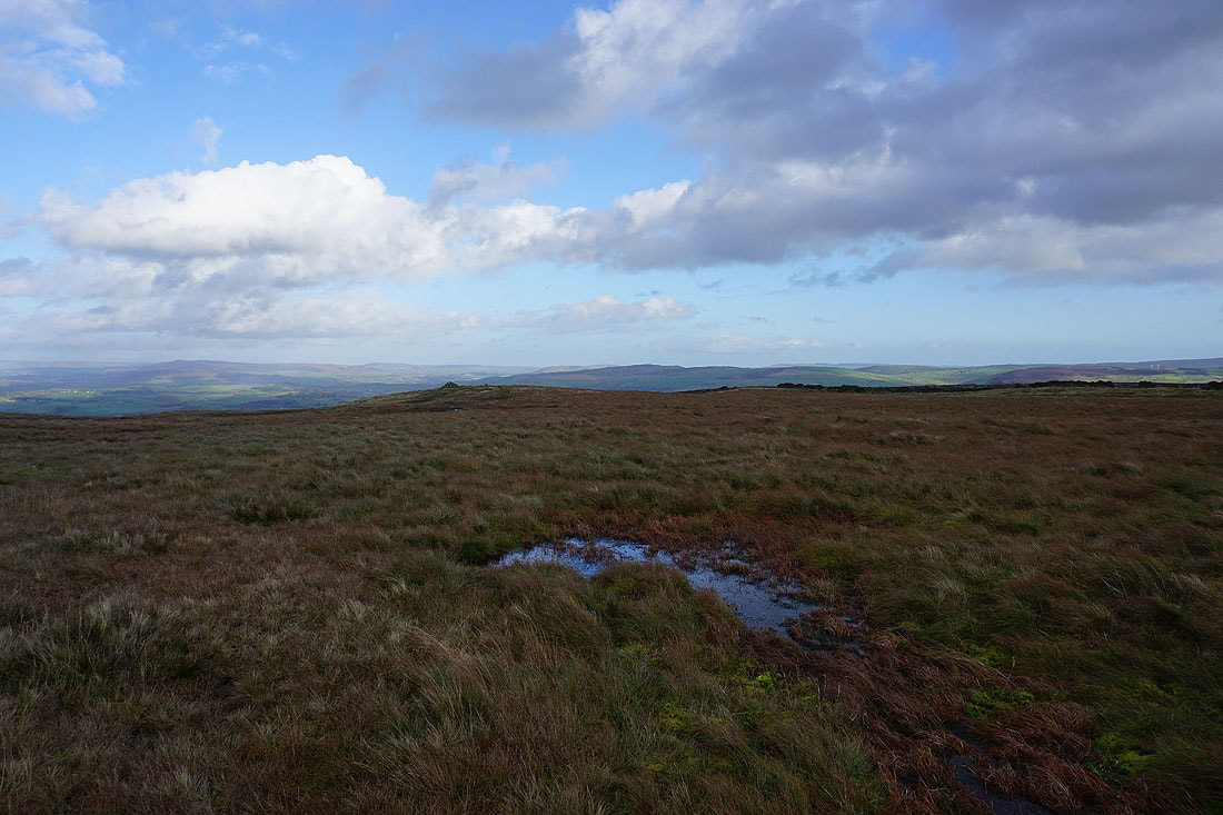
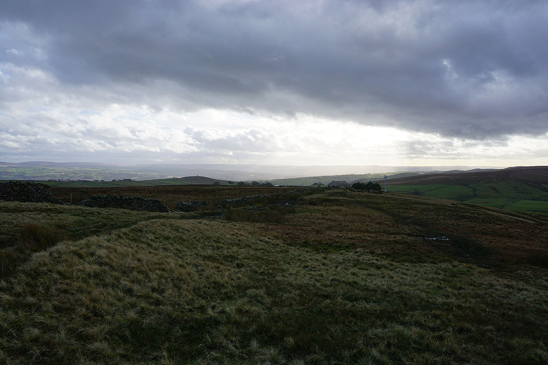
Windswept moorland..
..with a view of Pendle Hill
After taking a break I've returned to the trig point. The cloud has lifted enough so that I can now make out Ingleborough and Penyghent in the distance to the north..
Barden Moor, Thornton Moor, Bleara Moor and Kelbrook Moor to the east
The strong wind is creating some dramatic and turbulent skies
Heading for Weets House Farm
The weather isn't looking too good over the Forest of Bowland
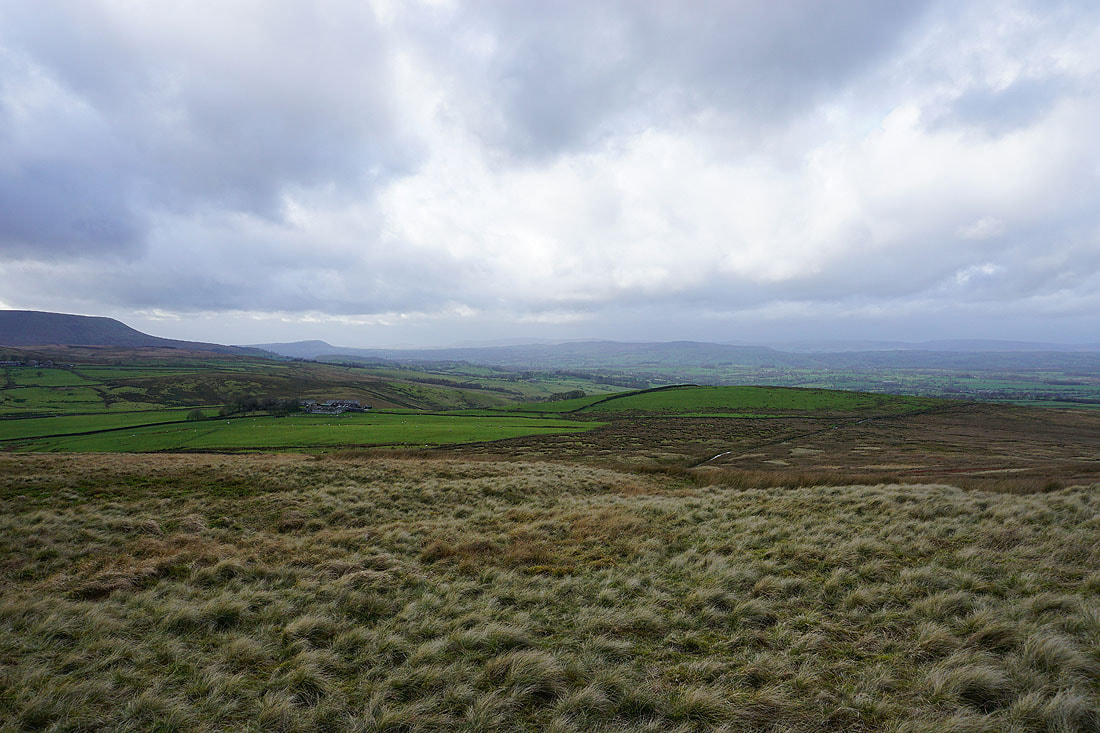
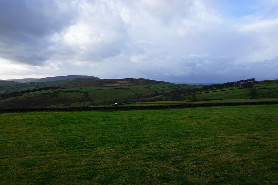
Burn Moor and Pendle Hill
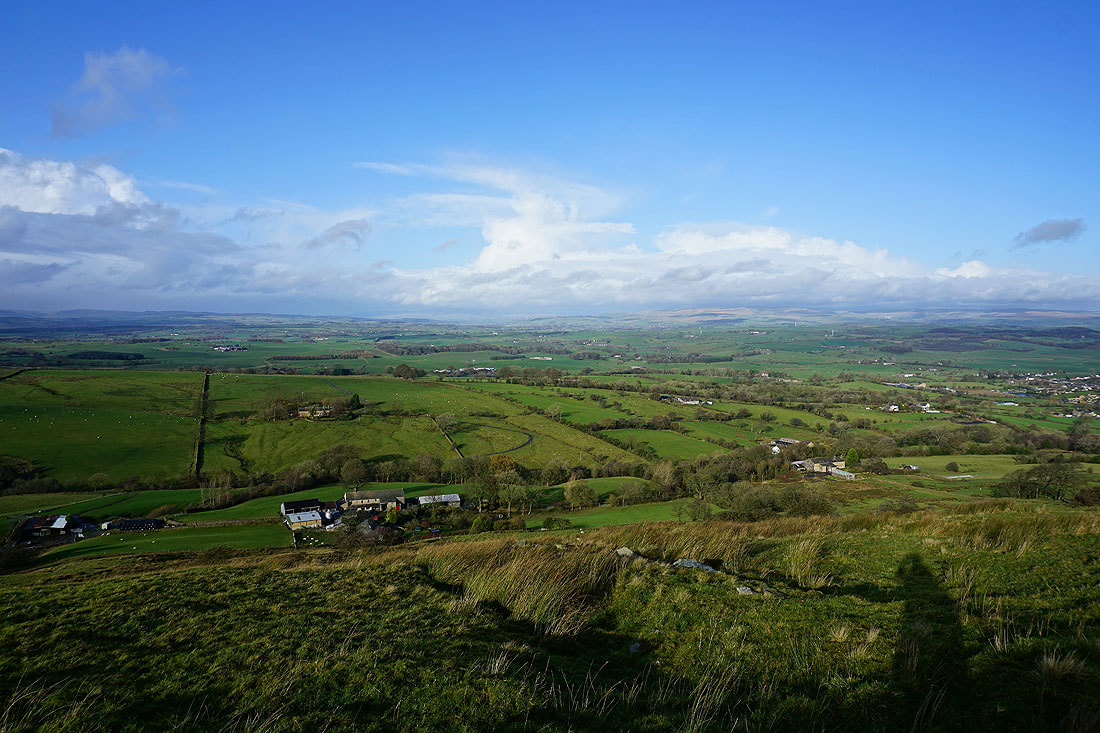
Windswept Pendle countryside
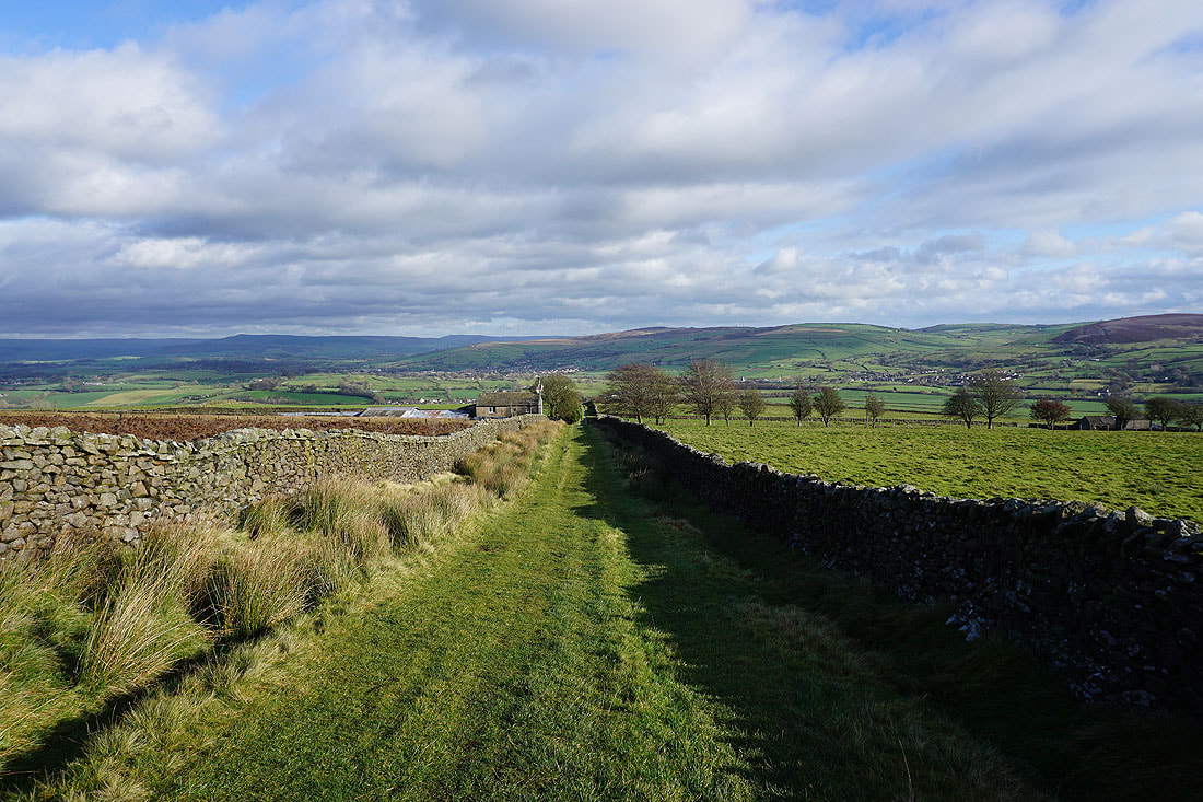
Heading down Gisburn Old Road
Blacko Hill, with sunshine over the valley of Pendle Water and Spen Height
Pendle Hill and Burn Moor
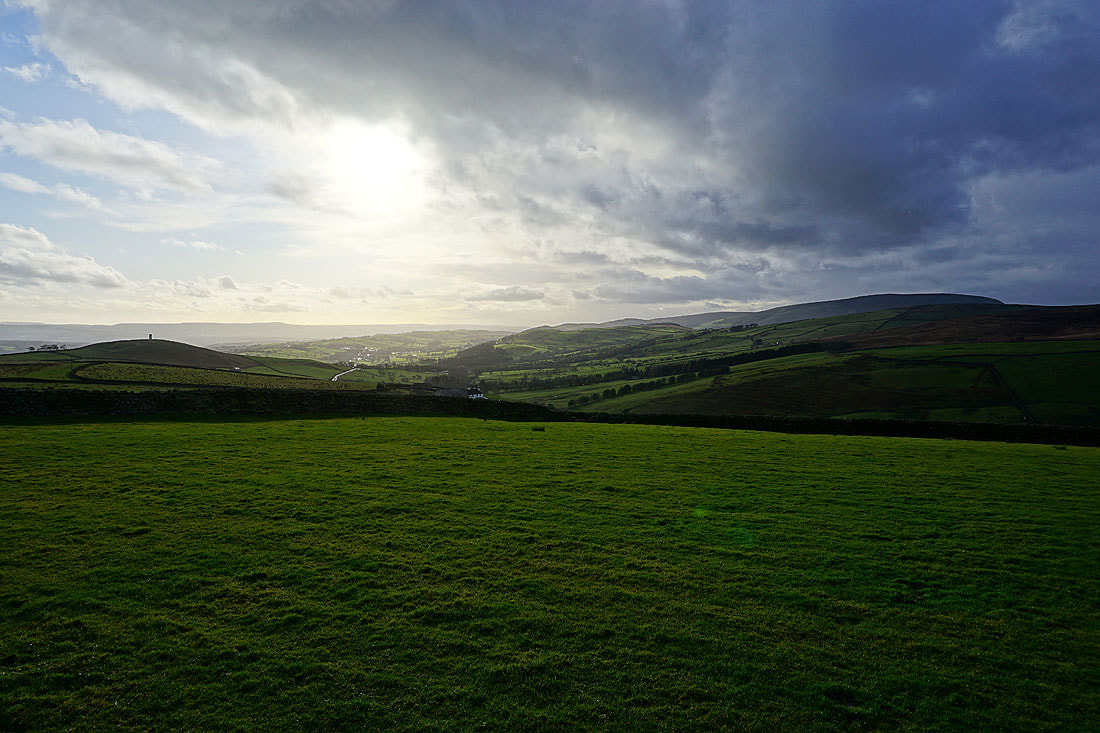
The dark clouds move away and the surrounding countryside is bathed in autumnal sunshine..
Looking back up Gisburn Old Road to Weets Hill
Blacko Hill and Pendle Hill
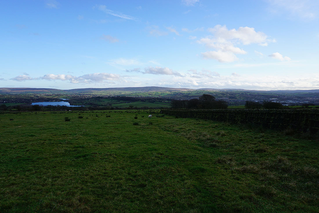
Foulridge Lower Reservoir and Boulsworth Hill as I follow the path down to Barnoldswick Road
Stansfield Tower on Blacko Hill makes an appearance to my right
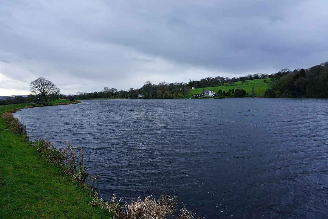
By a windswept Slipper Hill Reservoir
Blacko Hill in the distance from Reedymoor Lane near Foulridge
Noyna Hill above Foulridge, and I'm not going to make it home before I get caught by another shower