15th October 2011 - Sour Howes, Sallows and the Ill Bell ridge
Walk Details
Distance walked: 11.4 miles
Total ascent: 3724 ft
OS map used: OL7 - The English Lakes, South-eastern area
Time taken: 8 hrs
Route description: Church Bridge, Troutbeck-The Howe-Dubbs Road-Backstone Barrow-Sour Howes-Sallows-Garburn Pass-Yoke-Ill Bell-Froswick-Thornthwaite Crag-Troutbeck Tongue-Ing Lane-Town Head-Church Bridge, Troutbeck
I started this walk from the small car park next to Church Bridge just off the A592 through Troutbeck. From there I used bridleways to get up to Dubbs Road and access land and up to the summit of Sour Howes. From Sour Howes I went across to Sallows and then down to the Garburn Pass. I then walked along the Ill Bell ridge over Yoke, Ill Bell and Froswick to Thornthwaite Crag. From Thornthwaite Crag I made my way down into Troutbeck using High Street to the summit of Troutbeck Tongue. After descending Troutbeck Tongue I used Ing Lane to make my way back to Troutbeck.
Route map
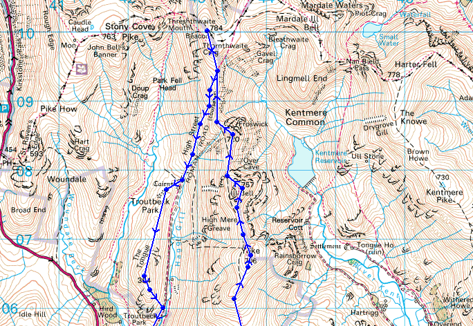
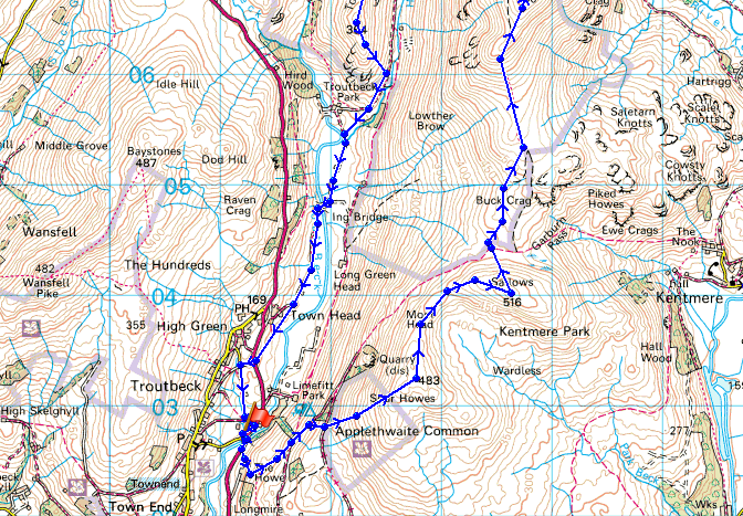
© Crown copyright. All rights reserved. License number PU 100034184.
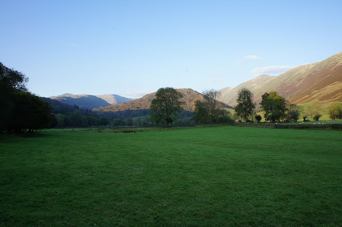
The start of the walk by the A592 through Troutbeck
The first view up the valley with the Ill Bell ridge on the right
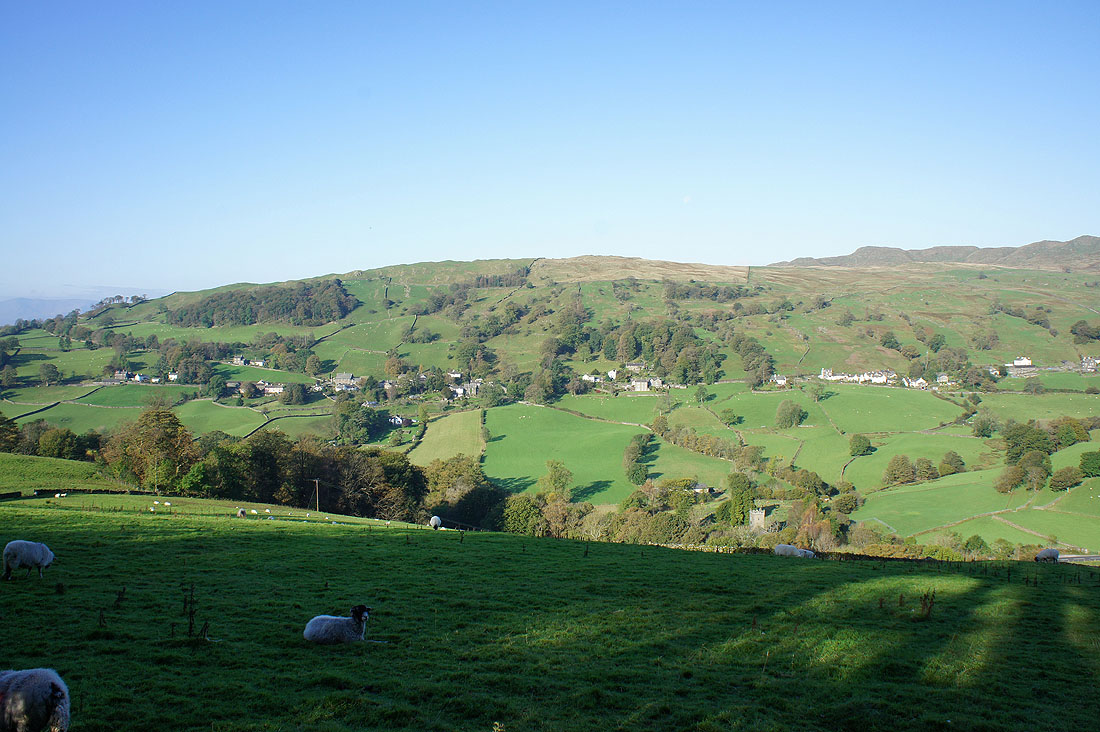
The long village of Troutbeck on the other side of the valley
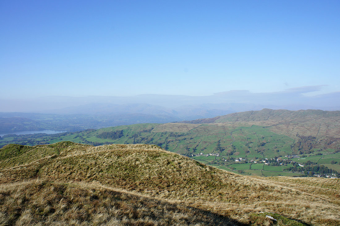
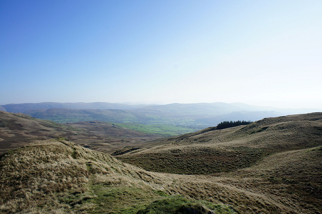
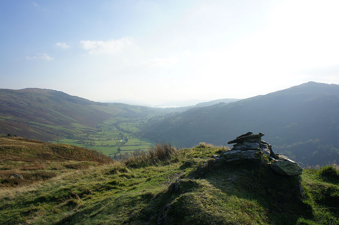
The view up Troutbeck from the climb up Sour Howes
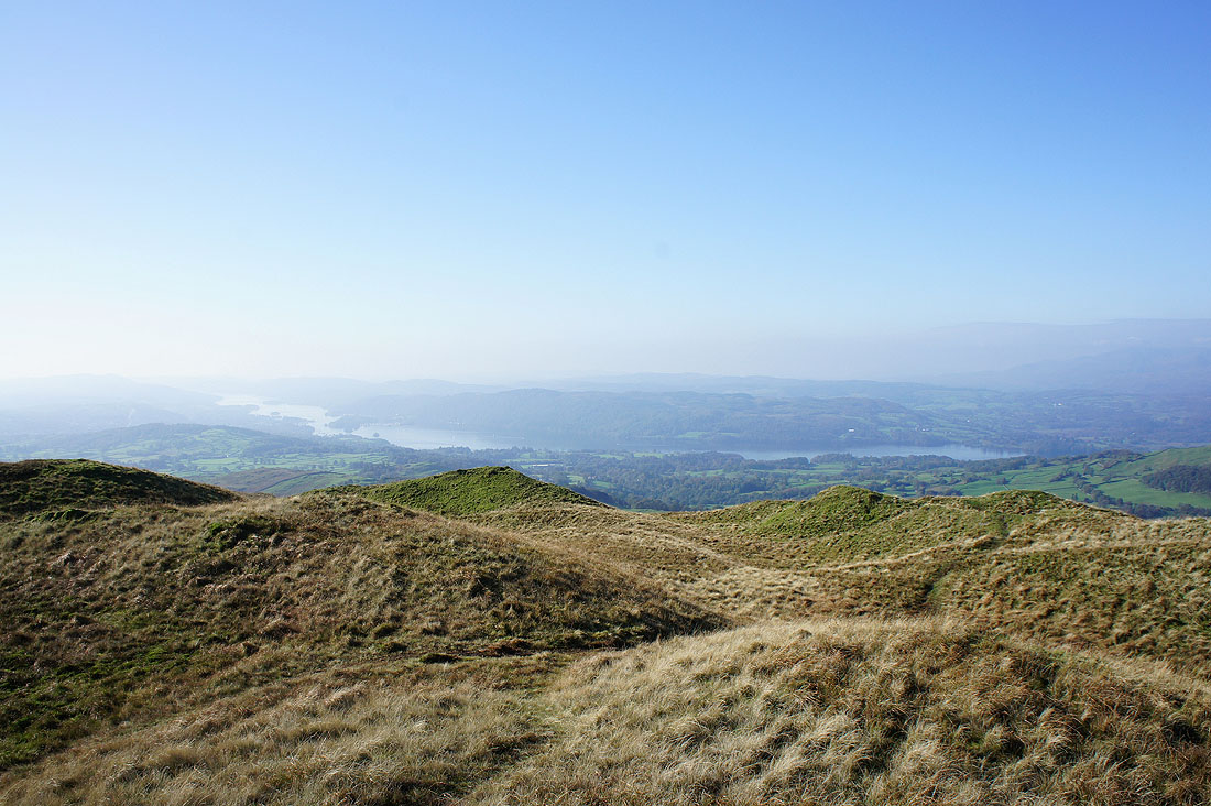
A hazy Windermere
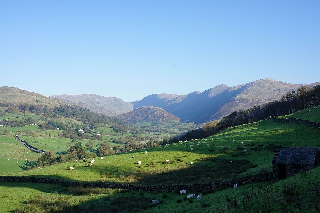
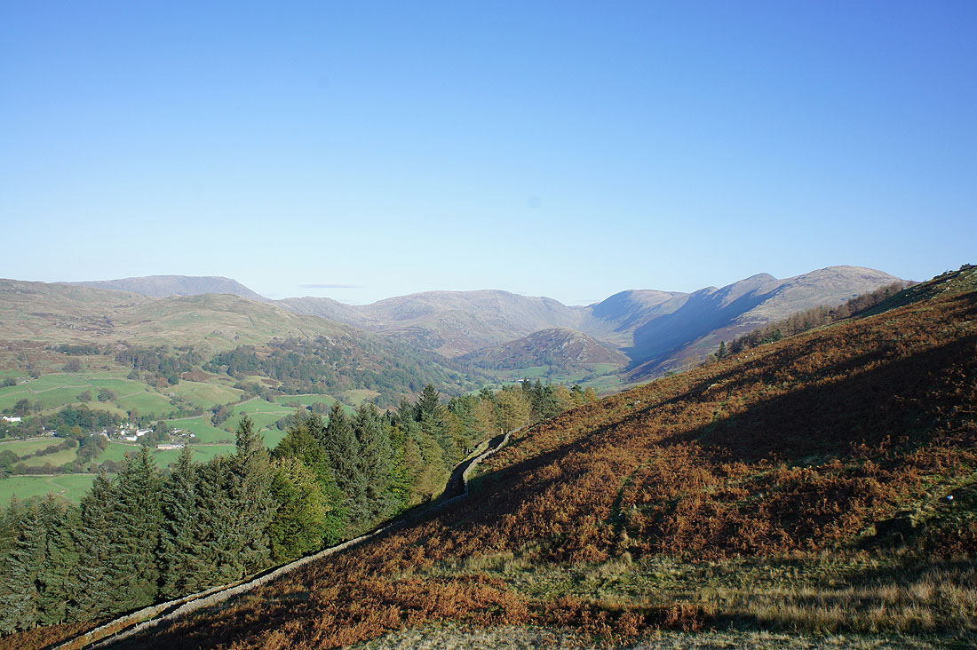
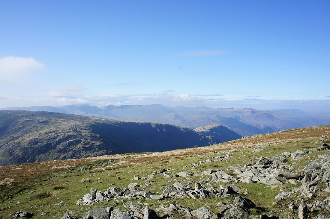
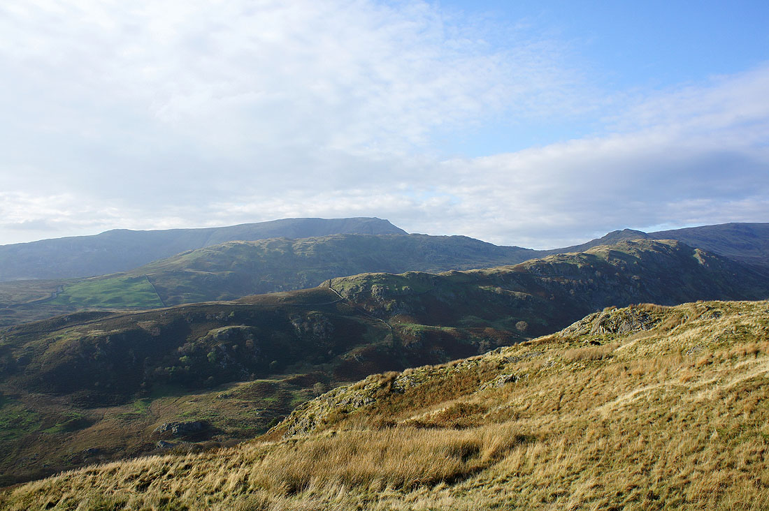
Caudale Moor and Thornthwaite Crag at the head of the valley
The Coniston fells just visible through the haze
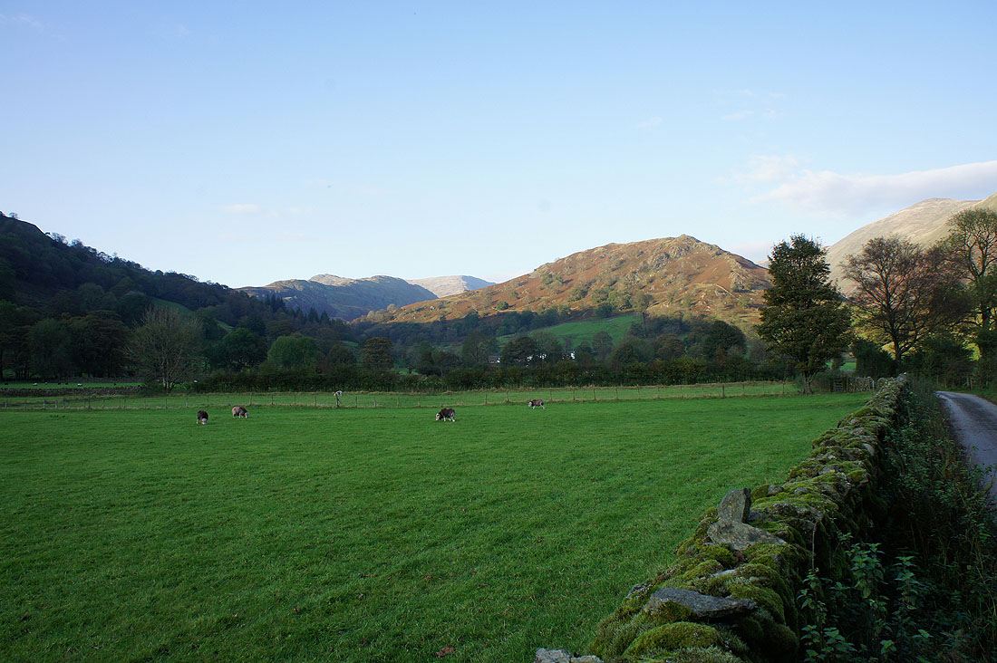
The view across to Red Screes
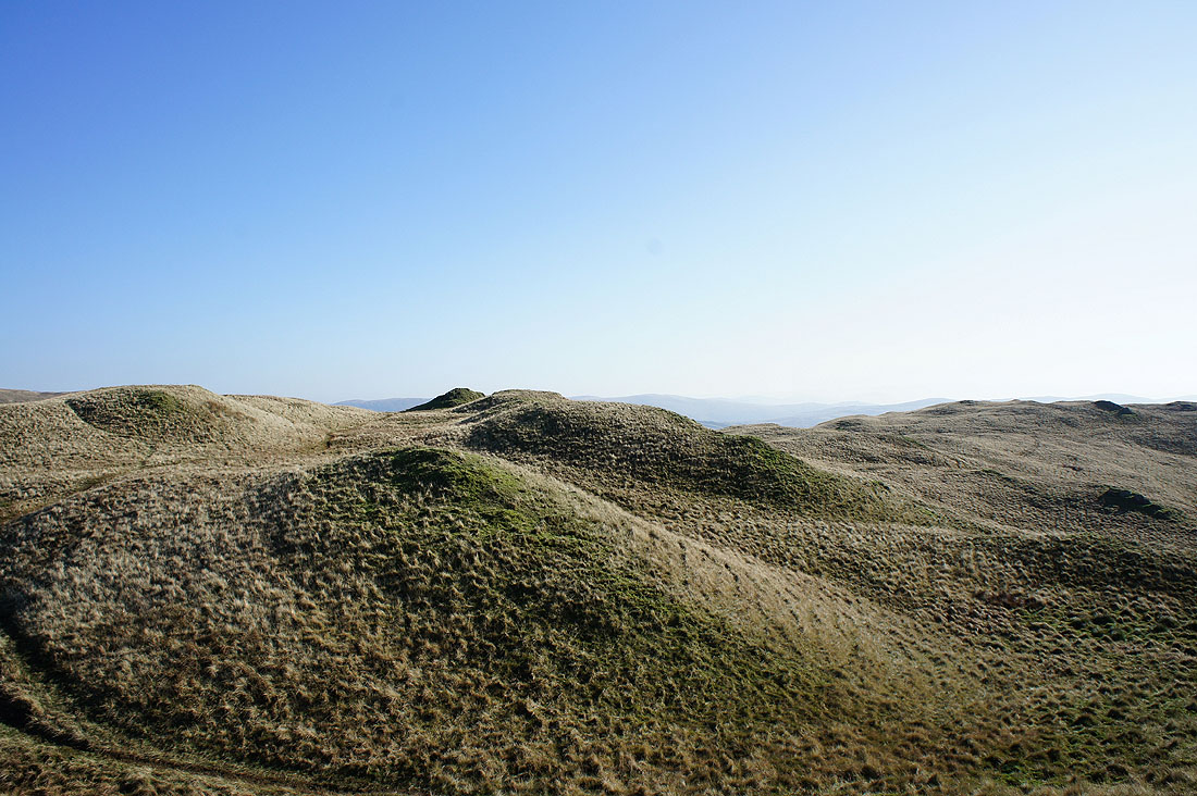
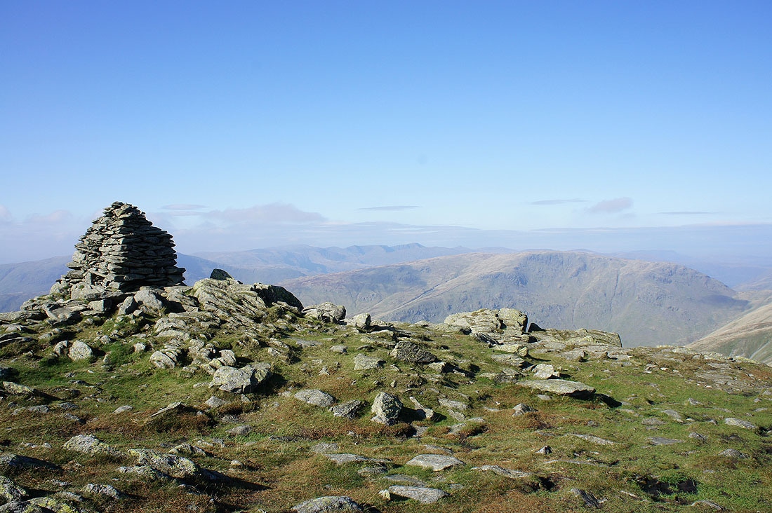
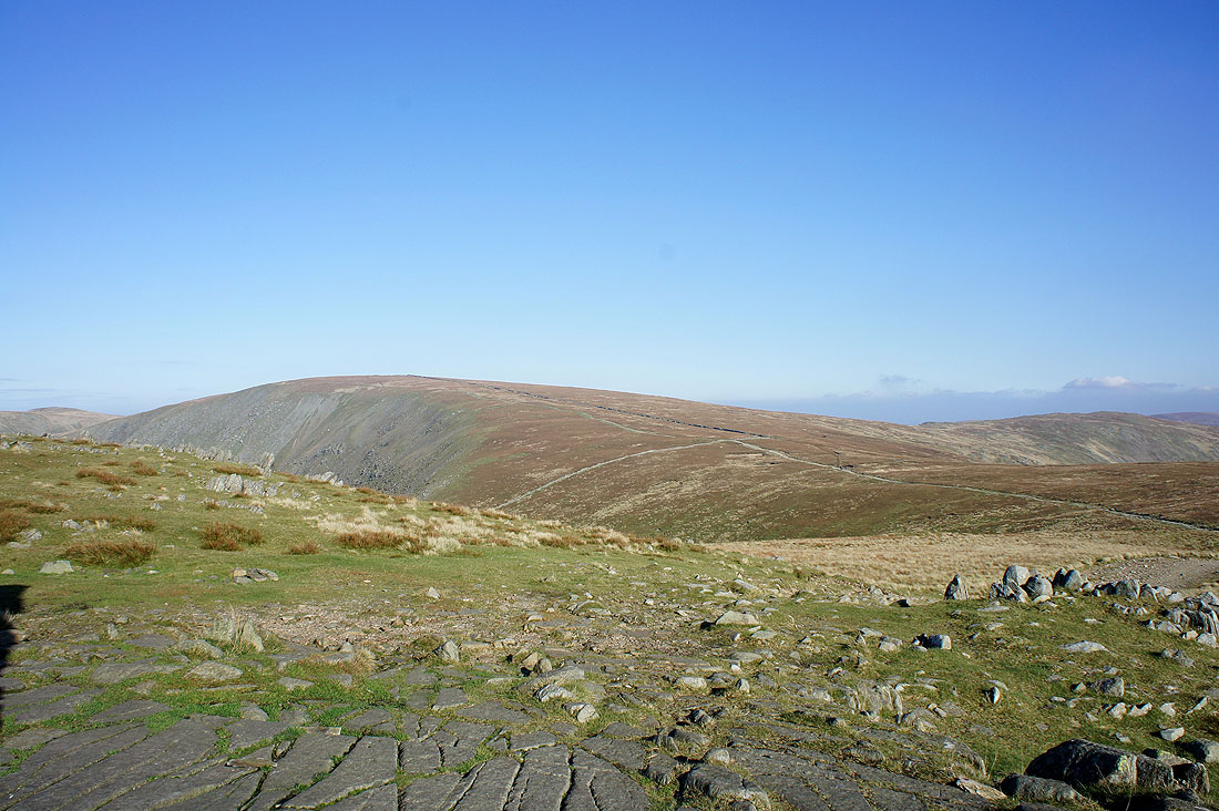
The "summits" of Sour Howes
Sallows with the Ill Bell ridge on the left
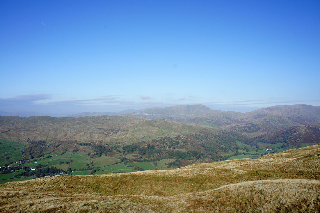
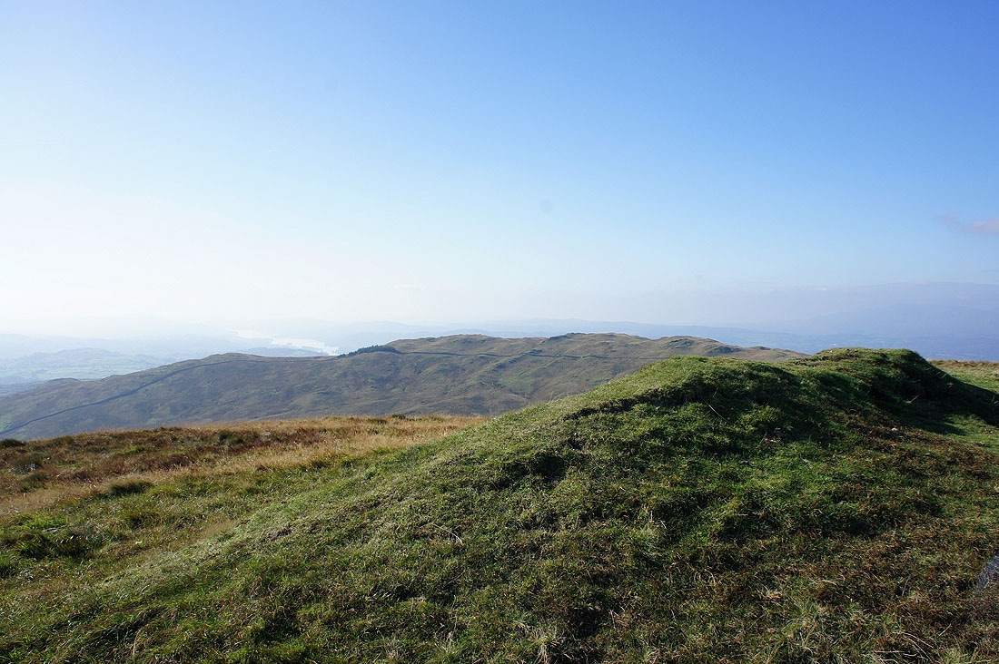
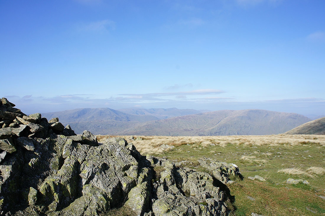
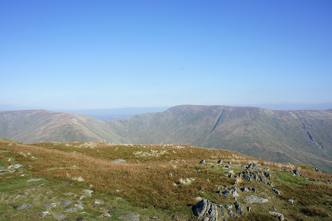
The view down into Kentmere from Sour Howes
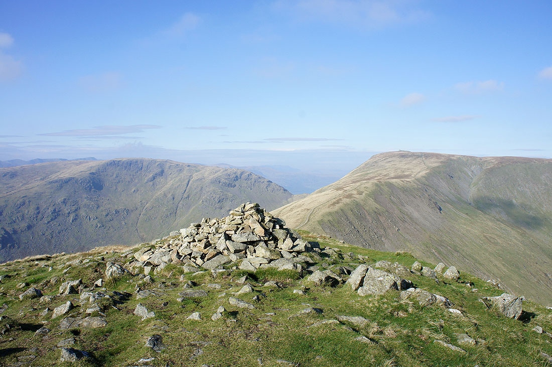
Sour Howes from the summit of Sallows
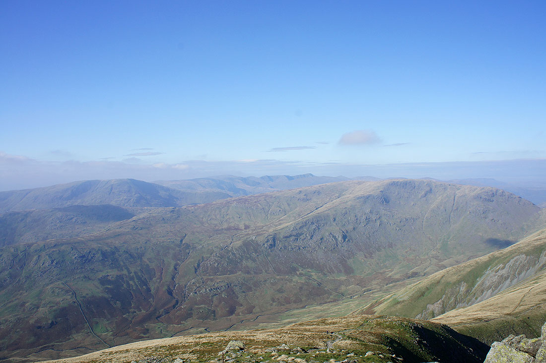
Red Screes and Caudale Moor
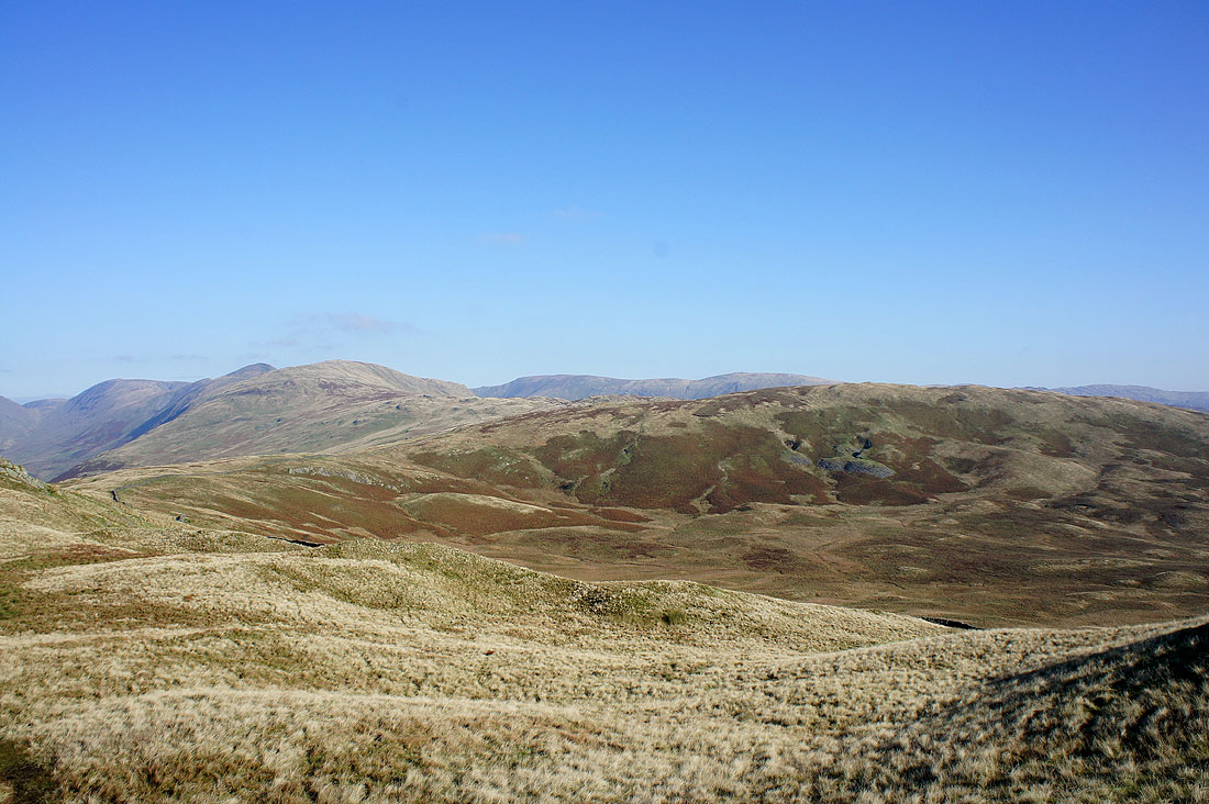
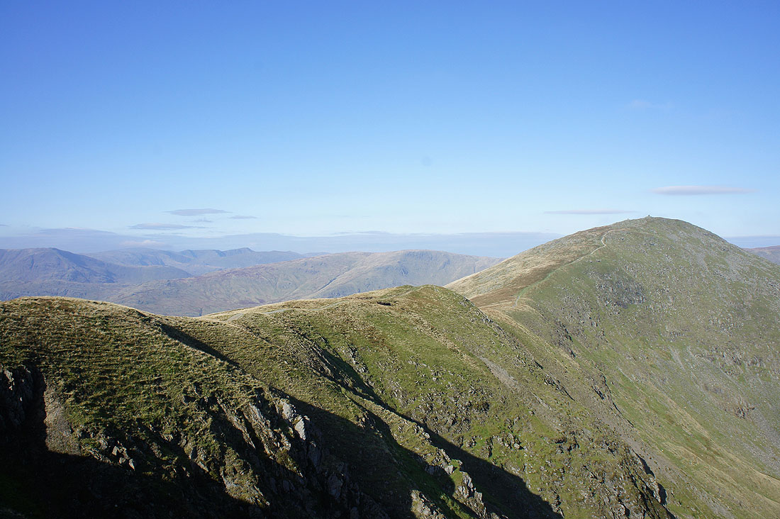
Yoke on the left and Harter Fell, Kentmere Pike on the right
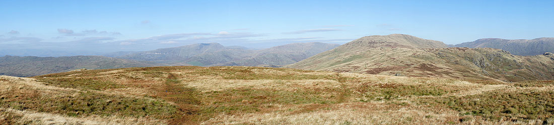
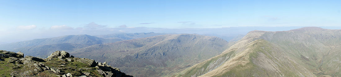
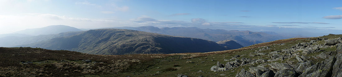
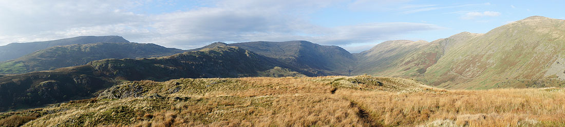
Panorama from Sallows
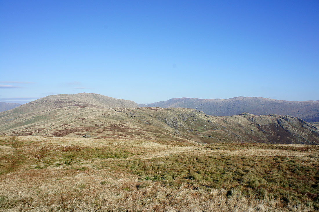
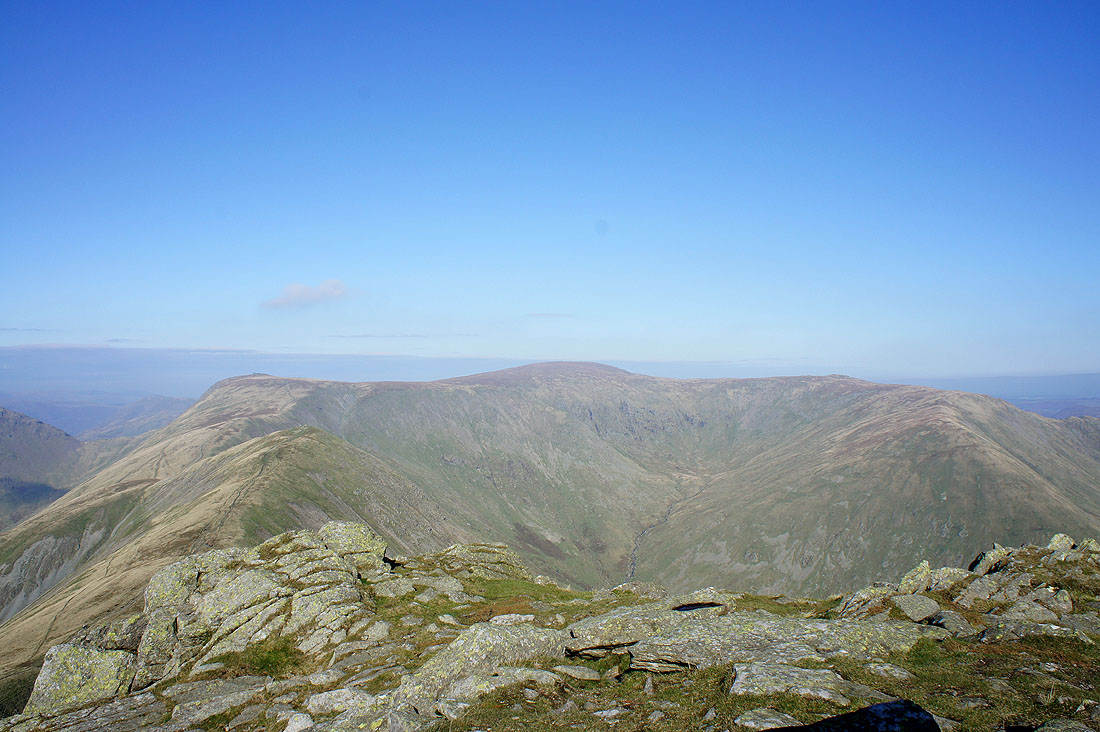
Red Screes, Helvellyn and Caudale Moor from the summit of Yoke
Ill Bell ahead
The Nan Bield Pass and Harter Fell
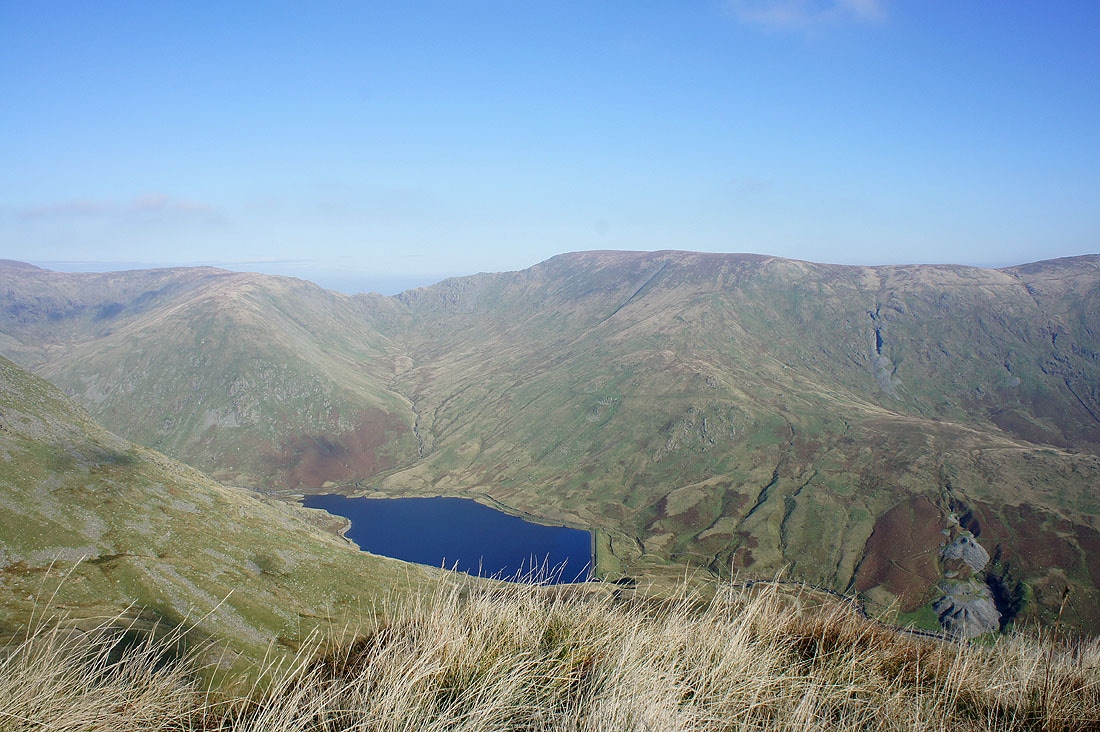
Kentmere Reservoir
Helvellyn and Caudale Moor beyond the ridge to Ill Bell
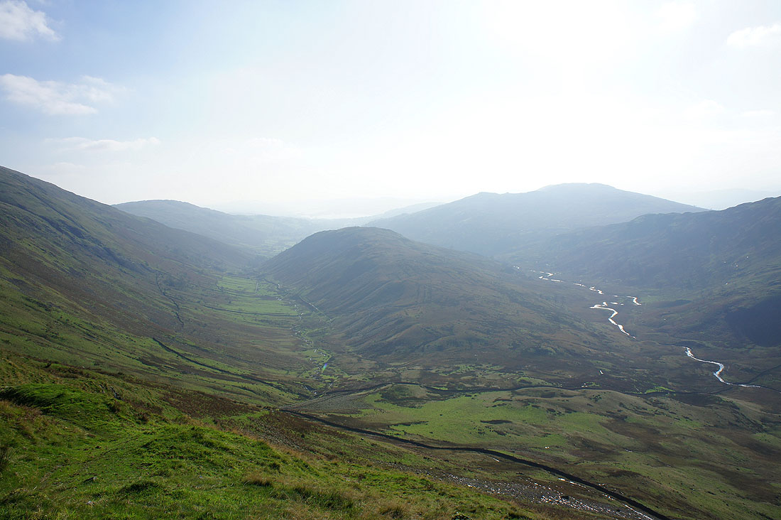
The view down into Kentmere from Ill Bell
Very hazy towards Windermere and Wansfell Pike
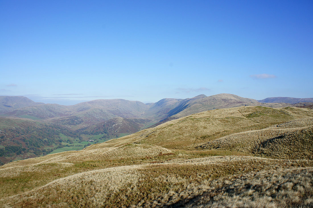
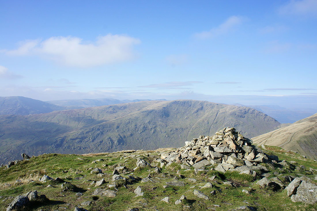
Harter Fell
Red Screes, Helvellyn and Caudale Moor from Ill Bell
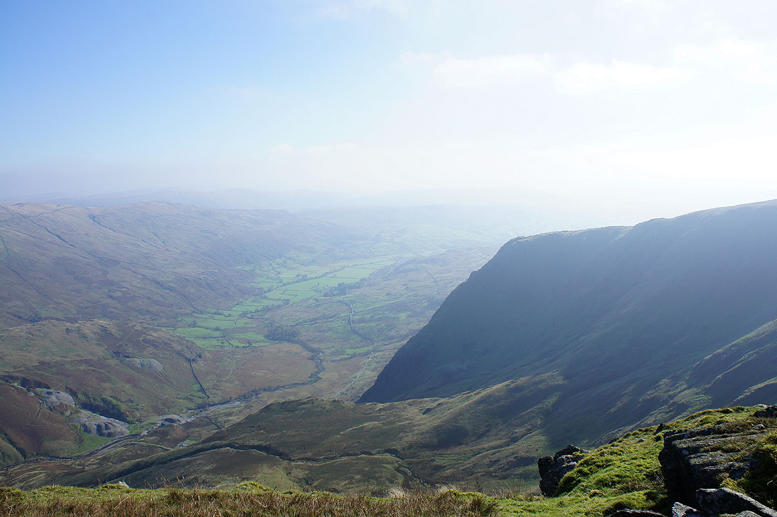
High Street at the head of Kentmere
Panorama from Ill Bell
Helvellyn and Caudale Moor from Ill Bell
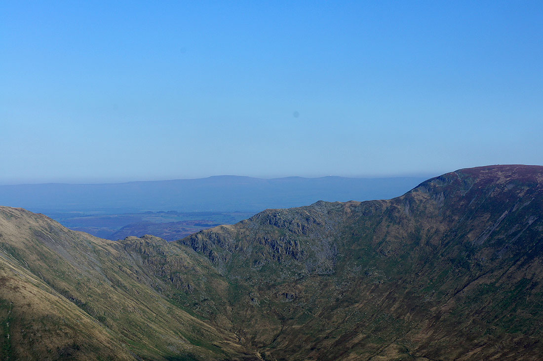
Cross Fell above the haze through the Nan Bield Pass
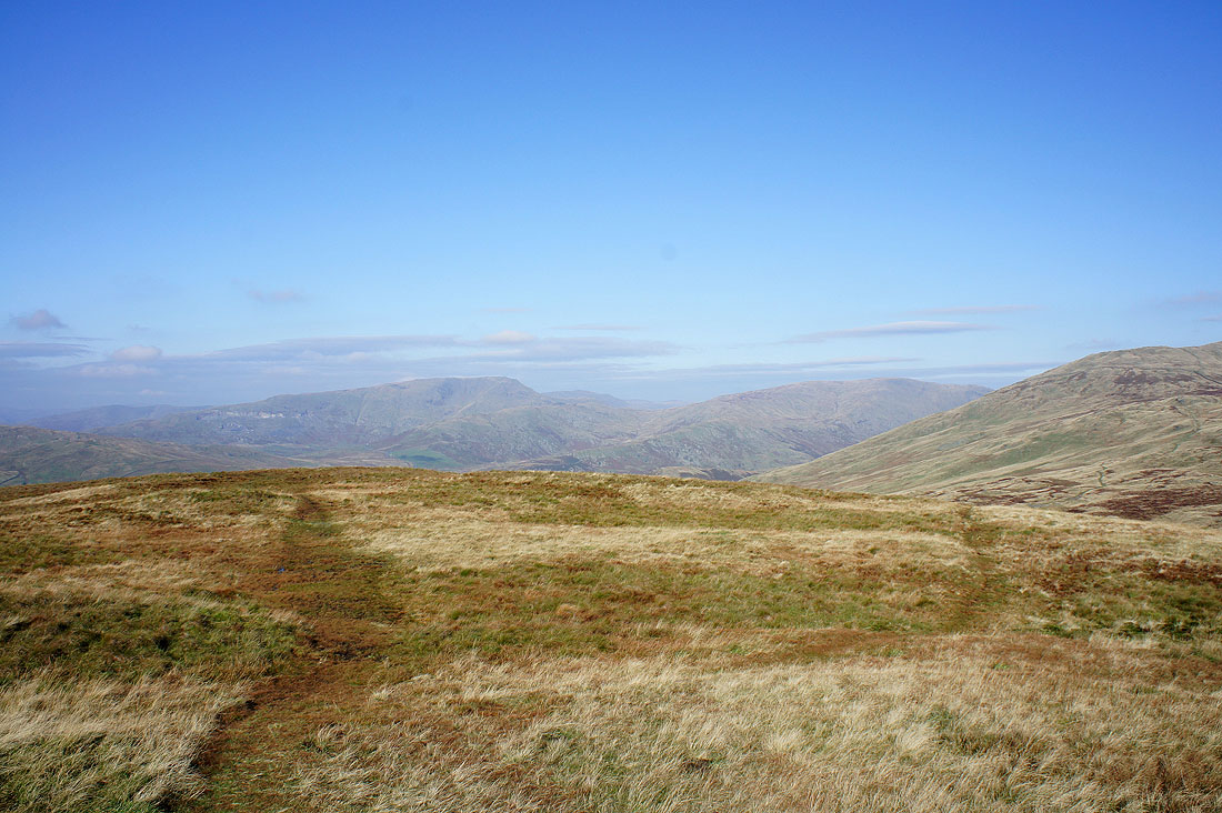
Caudale Moor and Thornthwaite Crag from Froswick
Caudale Moor with the Helvellyn range behind
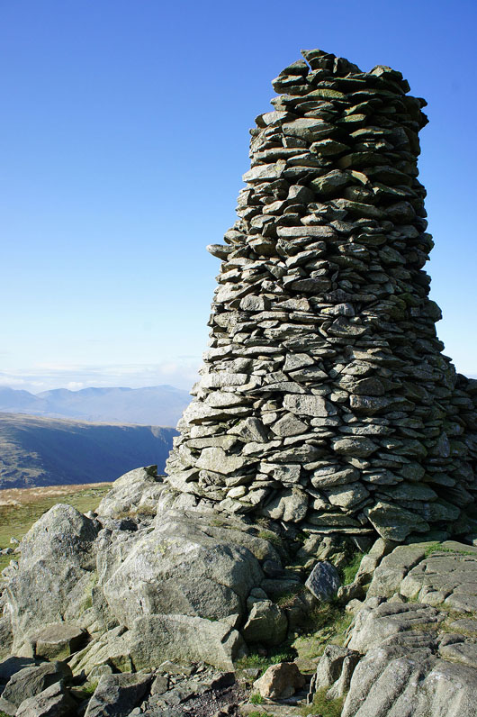
Thornthwaite Beacon
|
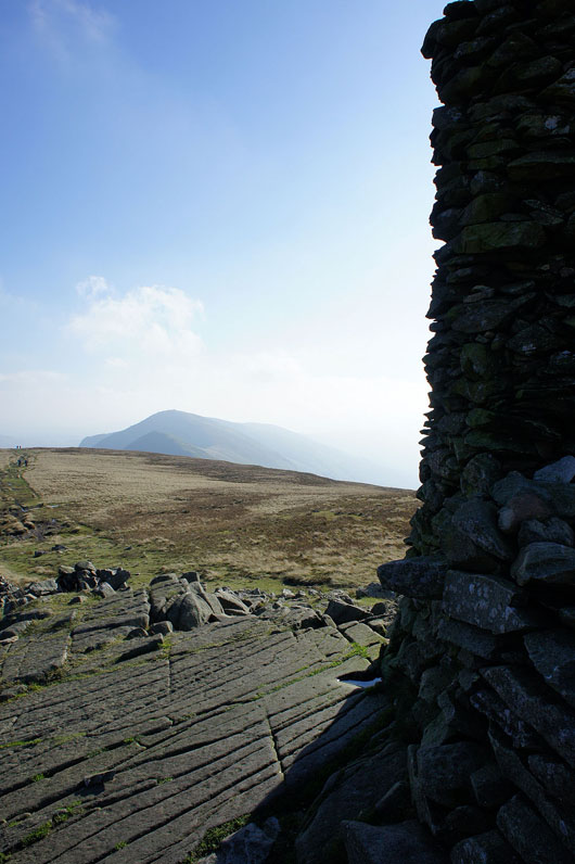
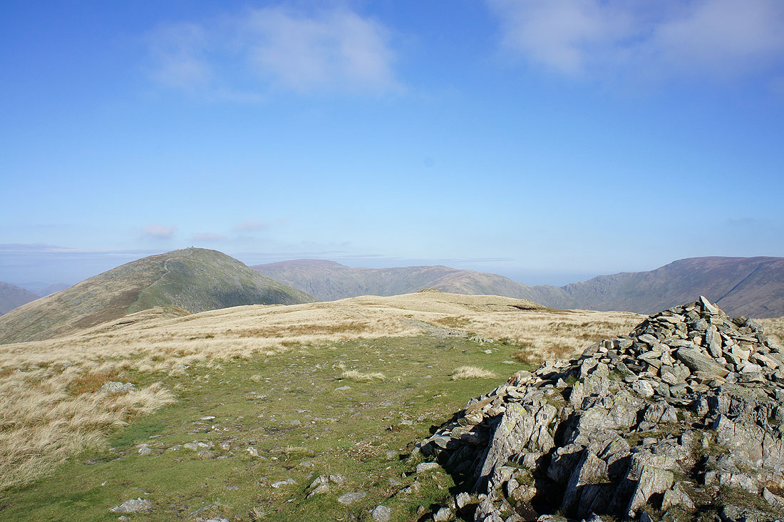
Ill Bell from the beacon
|
Caudale Moor and Hartsop Dodd with the Helvellyn range in the distance
Harter Fell
High Street
Panorama from Thornthwaite Crag
Heading down into Troutbeck
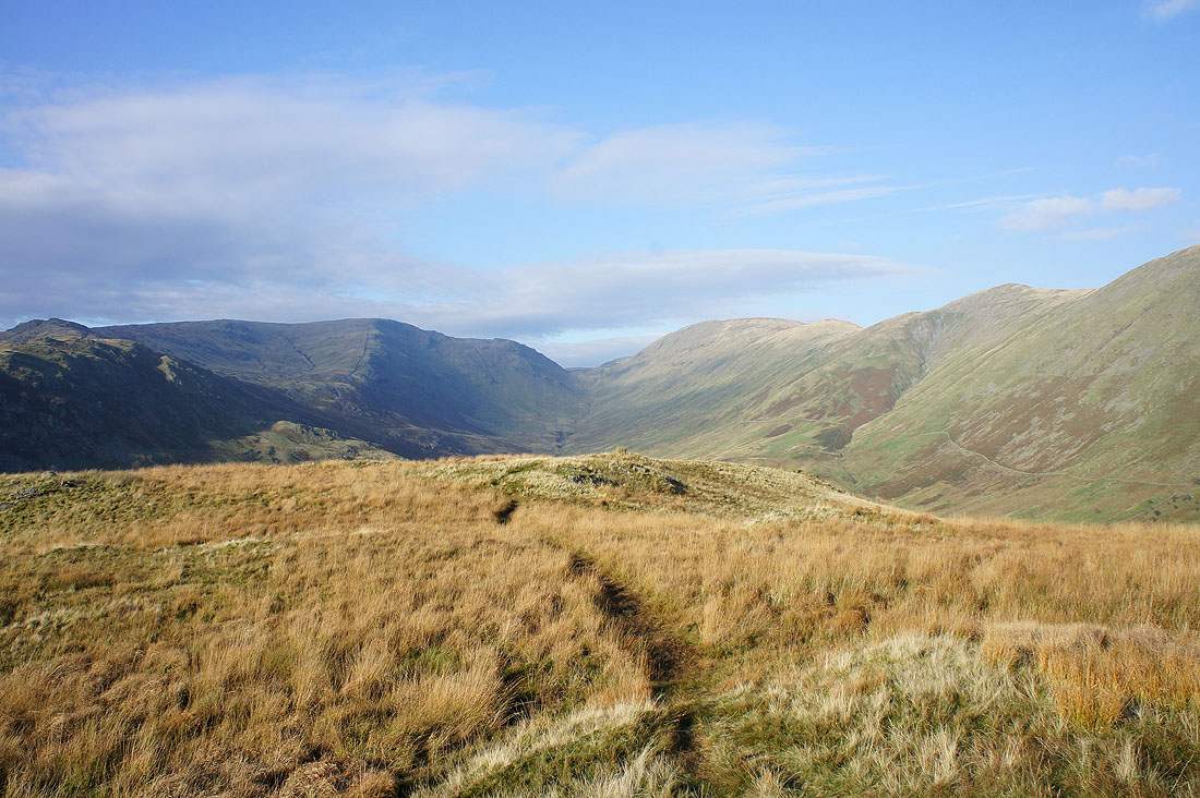
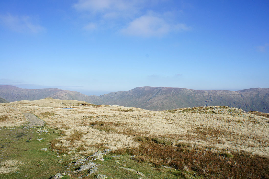
The head of Troutbeck
Panorama from Troutbeck Tongue of Red Screes round to Ill Bell
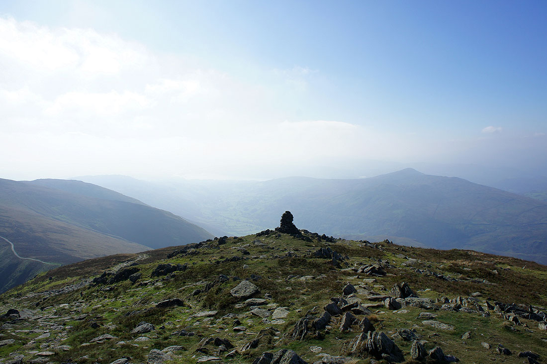
The summit of Troutbeck Tongue
Red Screes behind the ridges of St. Raven's Edge and High Great Knott
Troutbeck
Hagg Gill
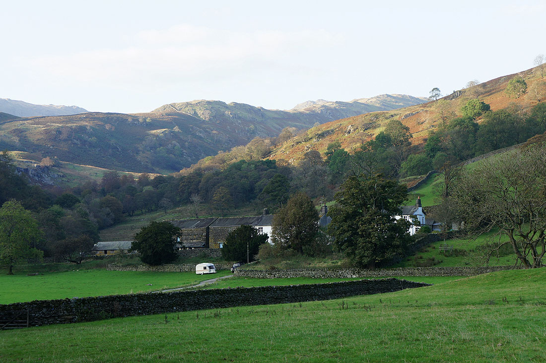
Troutbeck Park
Troutbeck Tongue and the Ill Bell ridge
The view from Ing Lane as I head back to Troutbeck..
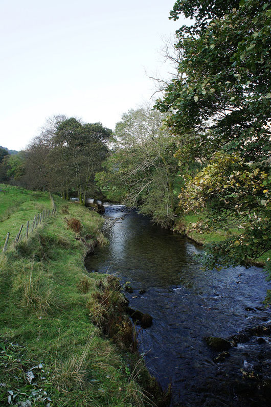
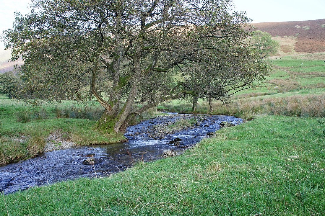
Trout Beck
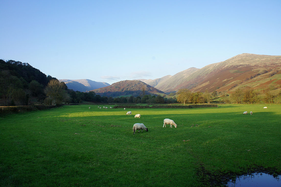
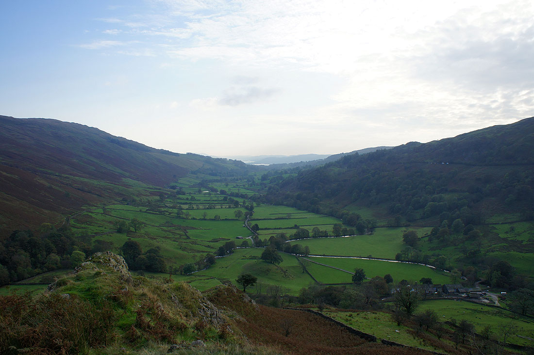
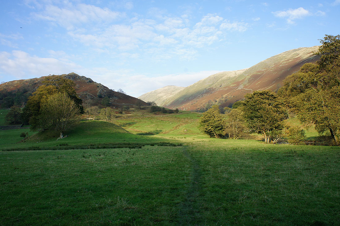
The Troutbeck valley
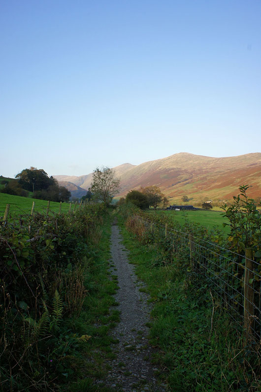
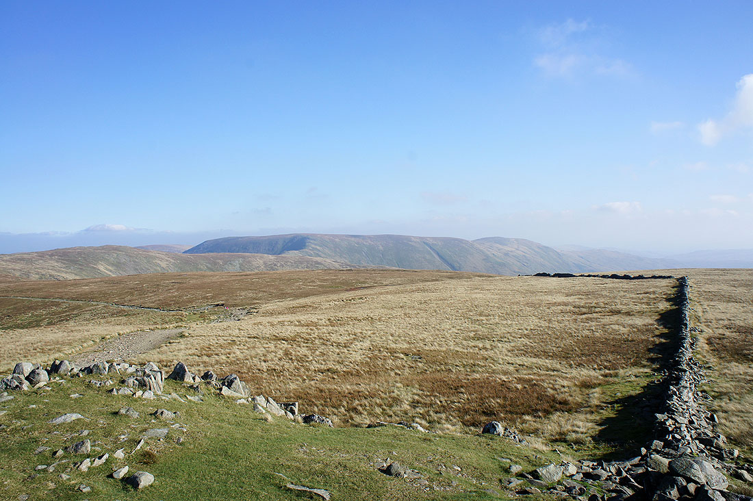
Looking back from the bridleway past Town Head
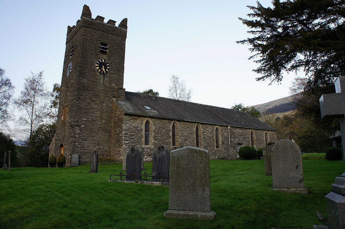
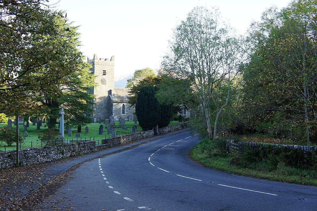
Jesus Church, Troutbeck