15th October 2017 - Pendle Hill
Walk Details
Distance walked: 6.4 miles
Total ascent: 1503 ft
OS map used: OL21 - South Pennines
Time taken: 3.5 hrs
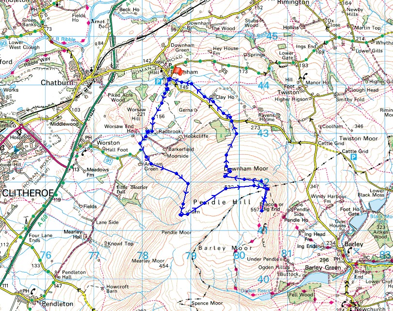
Route description: Downham-West Lane-Burst Clough-Scout Cairn-Worston Moor-Downham Moor-Pendle Hill-Downham Moor-Pendle Road-Downham
Murkier weather today for an afternoon walk up Pendle Hill than for yesterday's walk up Boulsworth Hill. Still mild with a lot of cloud, but hazy now so that the visibility restricted the views to nearby hills. I decided to set off from Downham for a change and it came as a bit of surprise to find that it had been more than two years since I'd last done so. A bit of warm sunshine while on the summit was most welcome as was the orange and choc chip cornet from the ice-cream shop in Downham on my return there.
From Downham I followed West Lane west out of the village past Worsaw End Farm to a fork in the road where I went straight on to the end of the road and onto the footpath up by Burst Clough. I continued uphill onto Worston Moor to reach the Scout Cairn. I then made my way across Worston Moor and Downham Moor to reach the stile over the wall for the path to the summit. From the summit I retraced my steps to the stile and took the path down Downham Moor to Pendle Road. I then took the footpath opposite that makes its way across fields to head back to Downham.
Route map
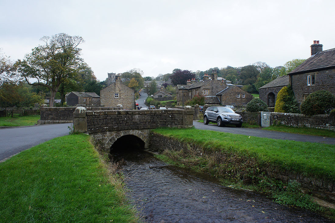
Setting off from the village of Downham
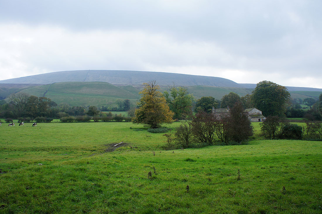
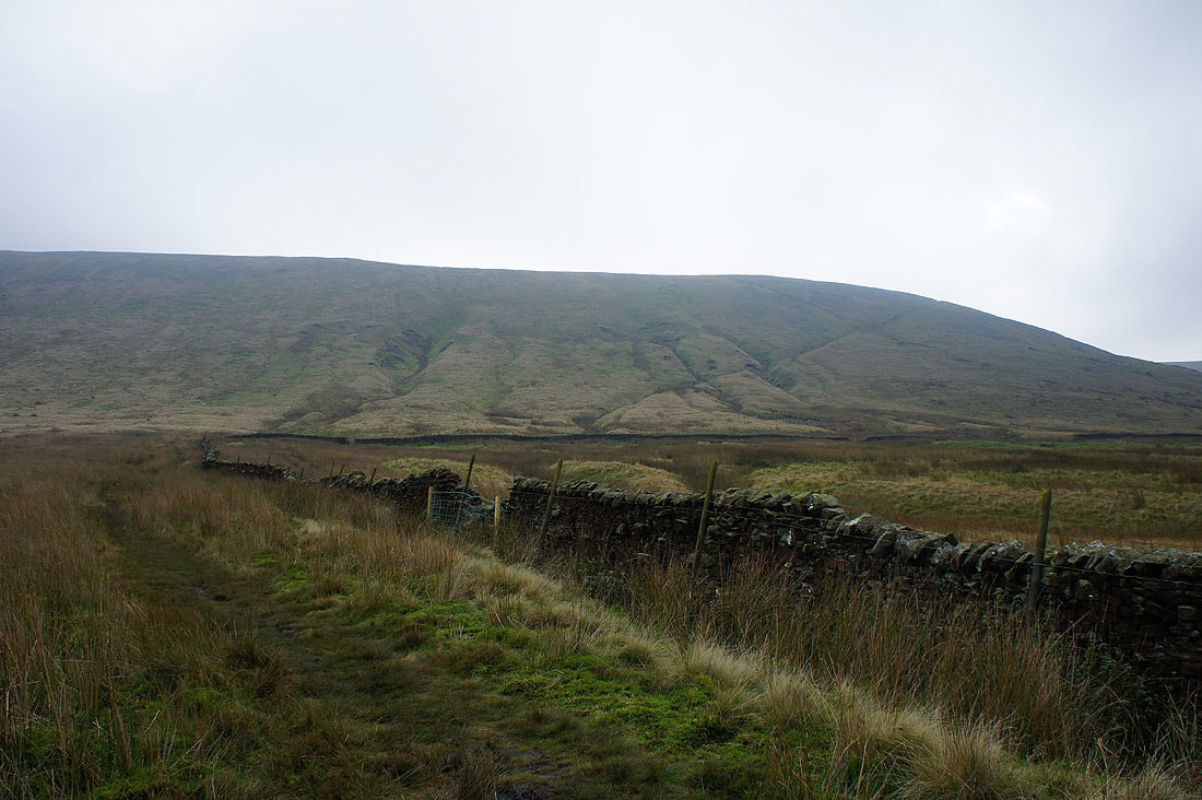
The bulk of Pendle Hill from West Lane
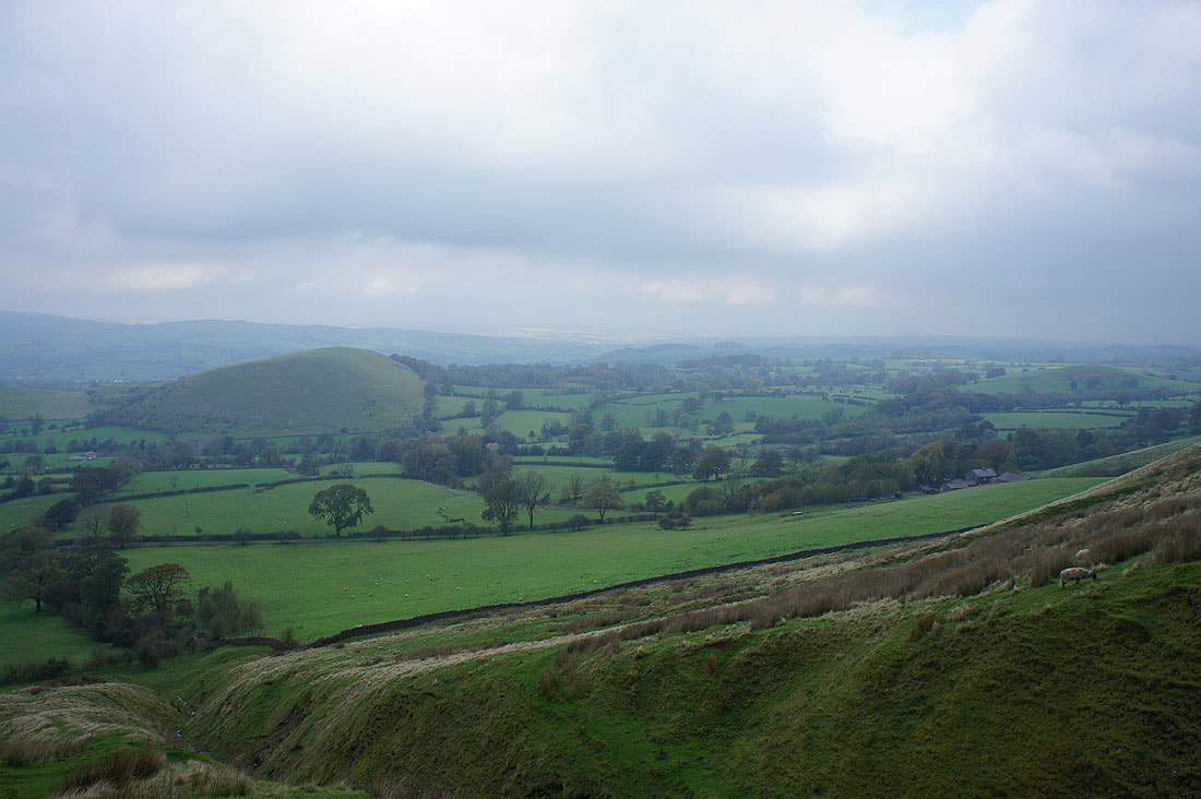
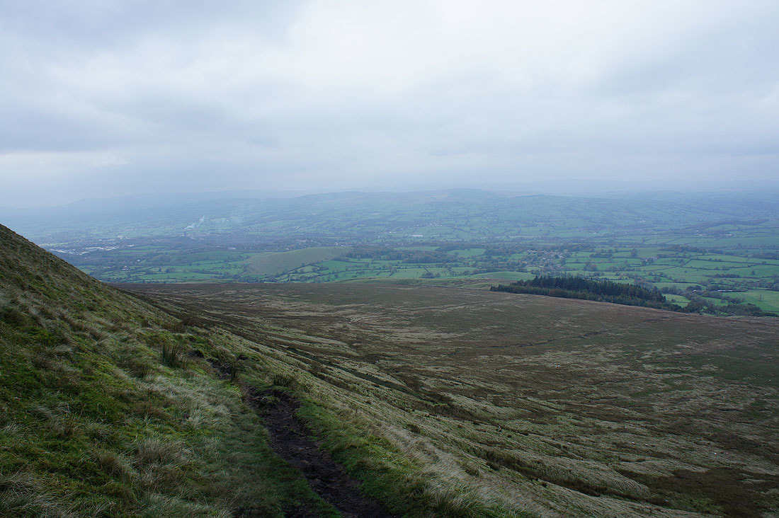
Worsaw Hill and the Ribble valley from the path up by Burst Clough
and the path up onto Worston Moor
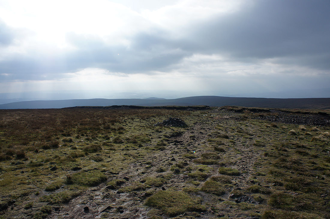
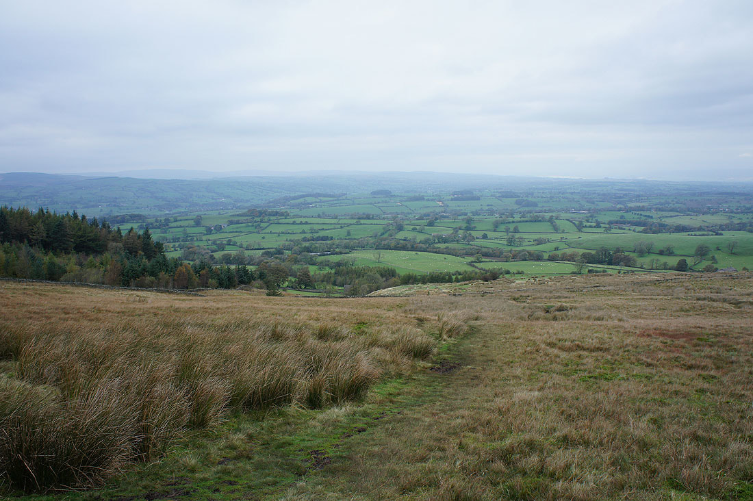
At the top of the path and Longridge Fell and Clitheroe is just visible through the murk
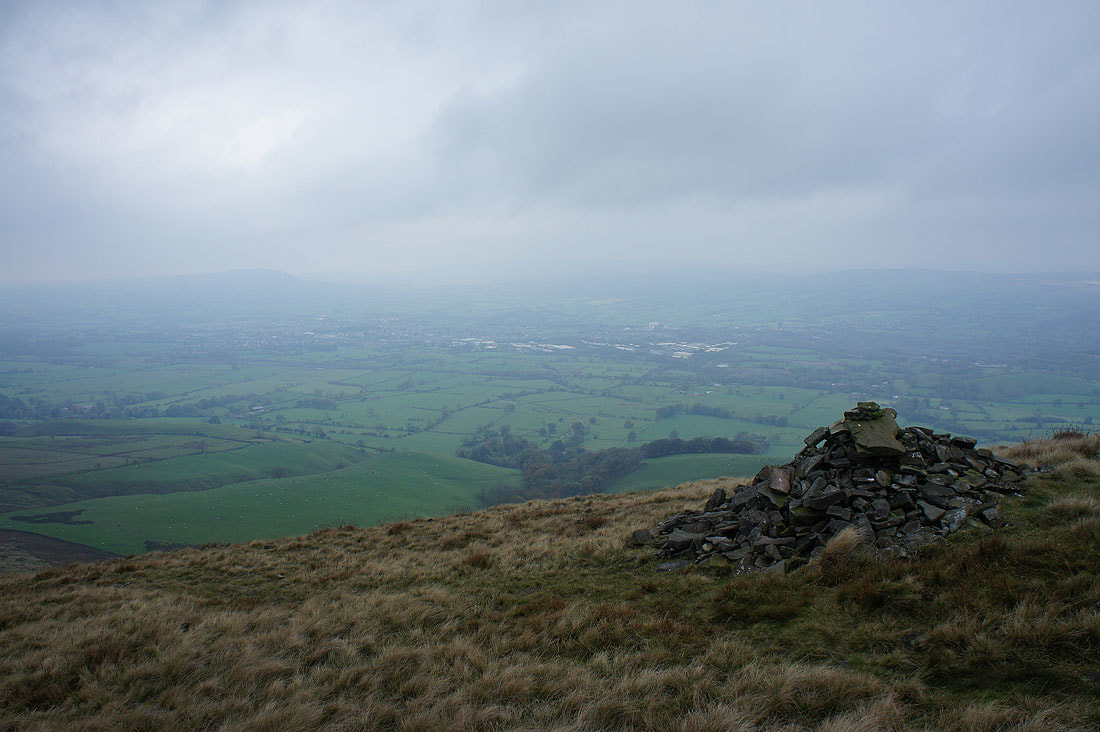
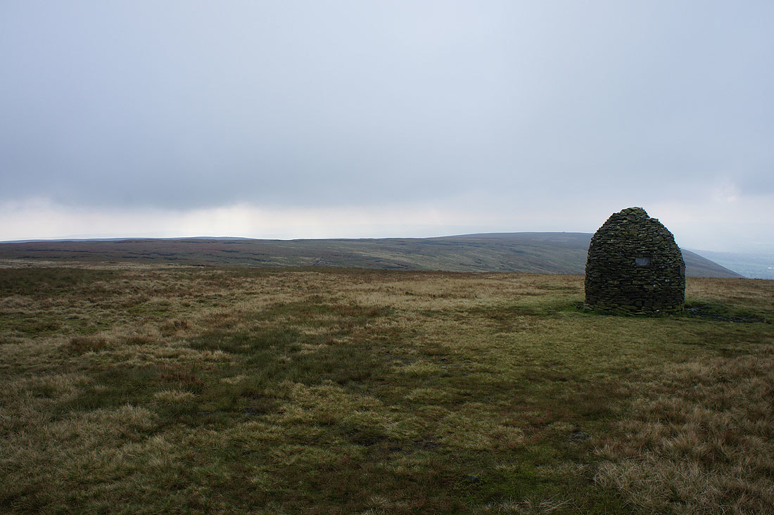
Mearley Moor from the Scout Cairn
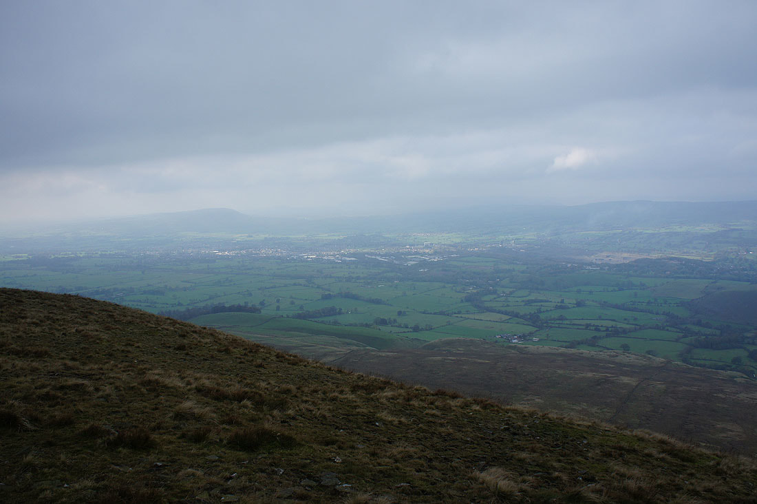
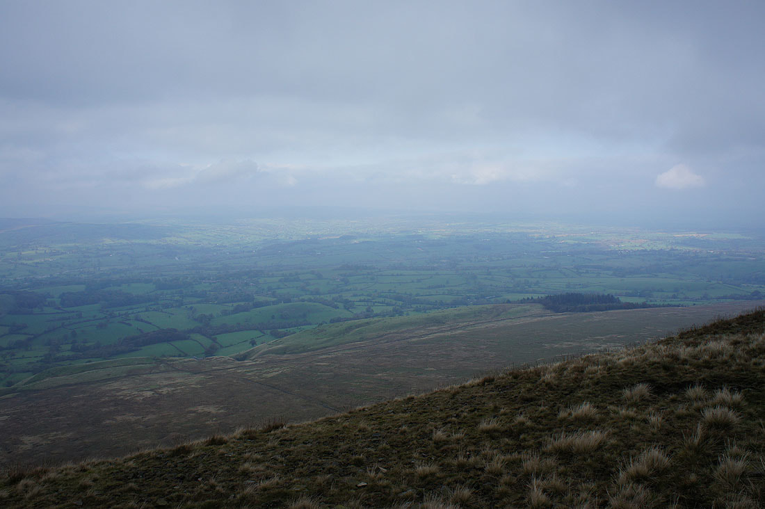
Murky views across Clitheroe and the Ribble Valley, though it does seem to be brightening up..
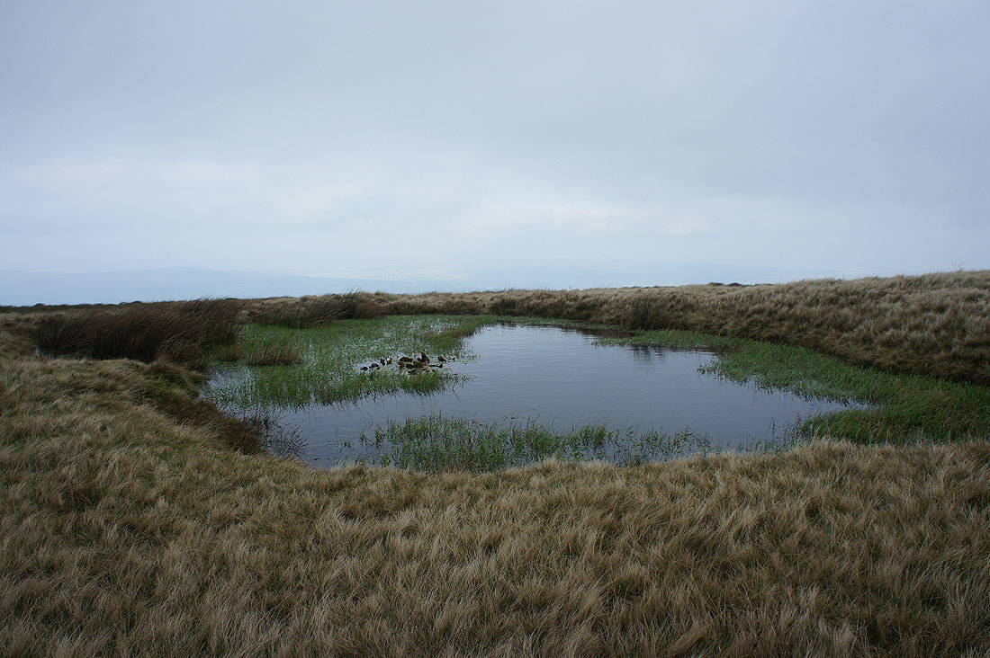
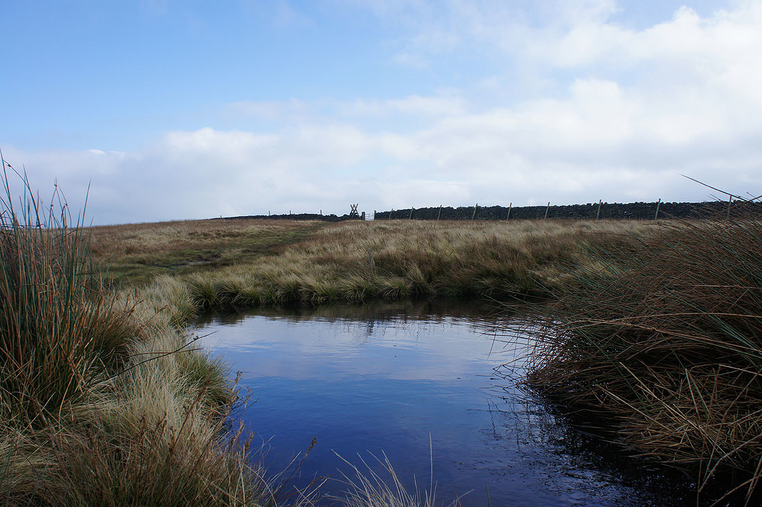
The pool on Downham Moor
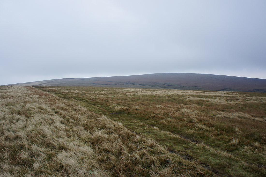
The summit is in sight and free of cloud
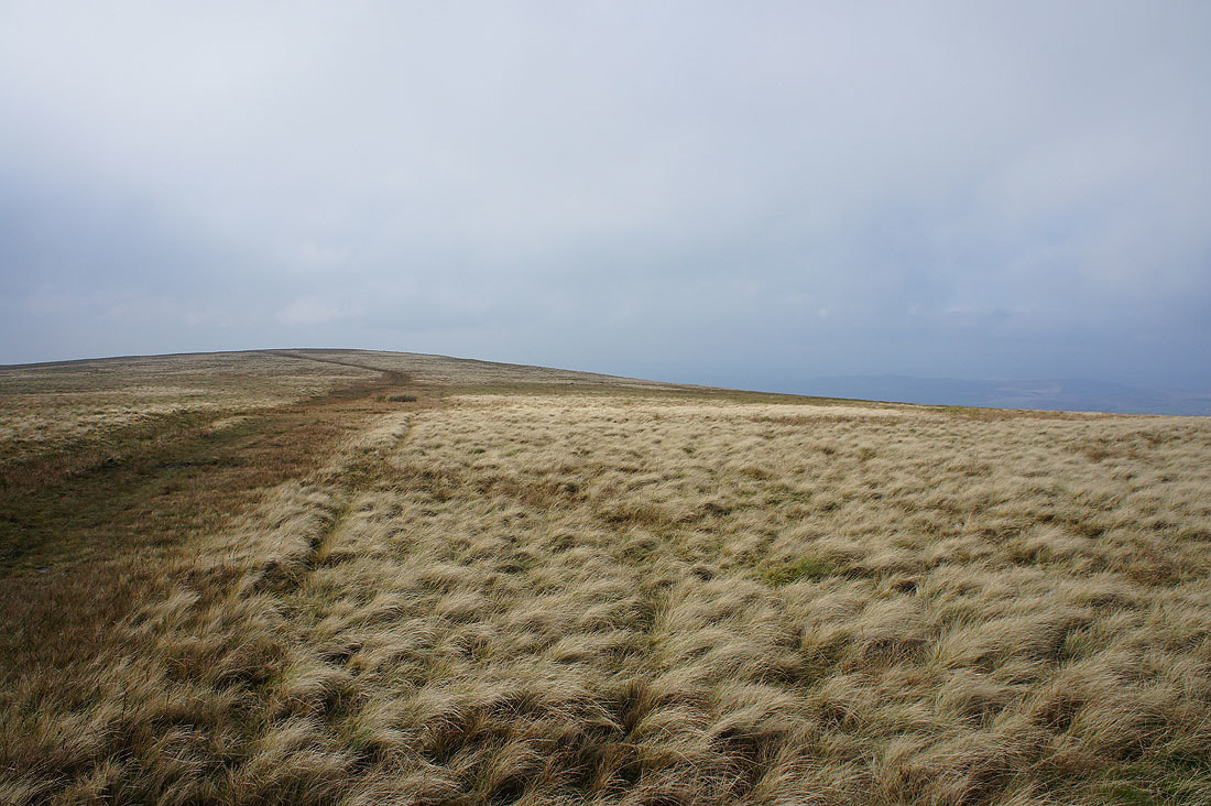
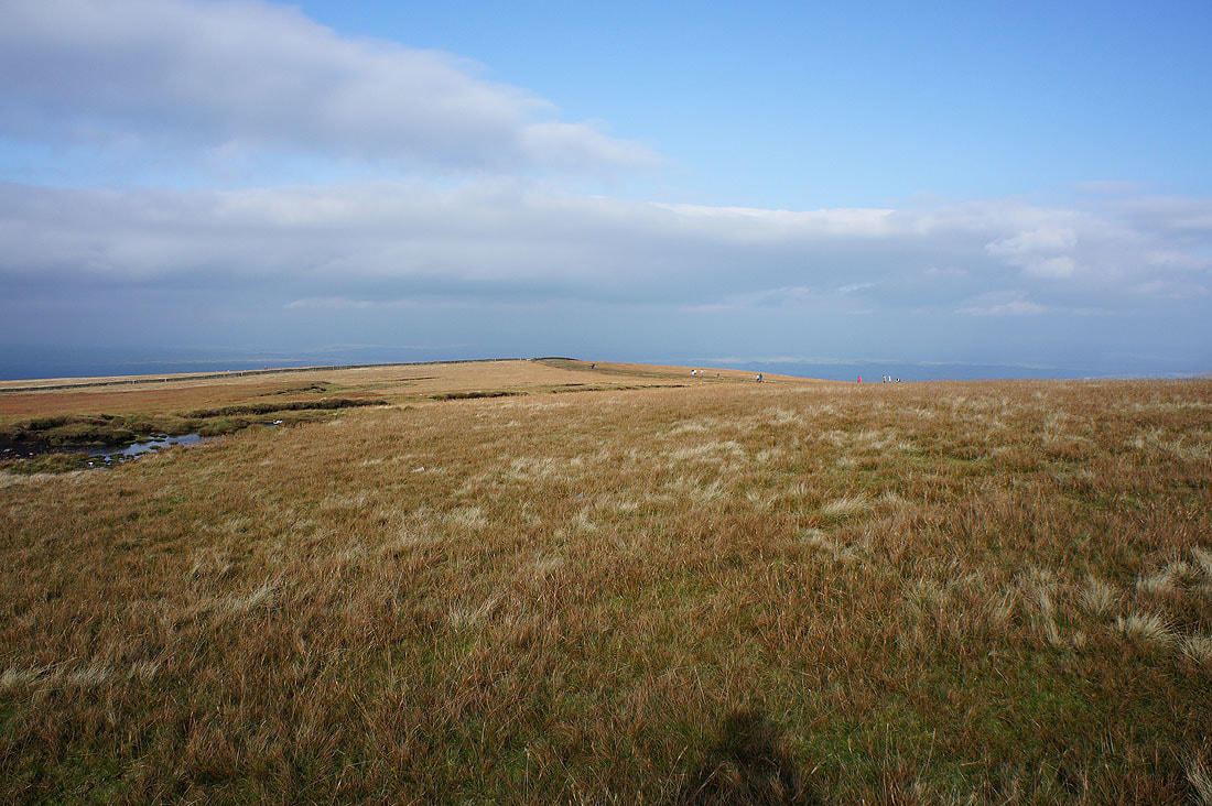
On Downham Moor and the sun comes out. It makes so much difference to the feel of the day.
The stile for the path to the summit is in sight
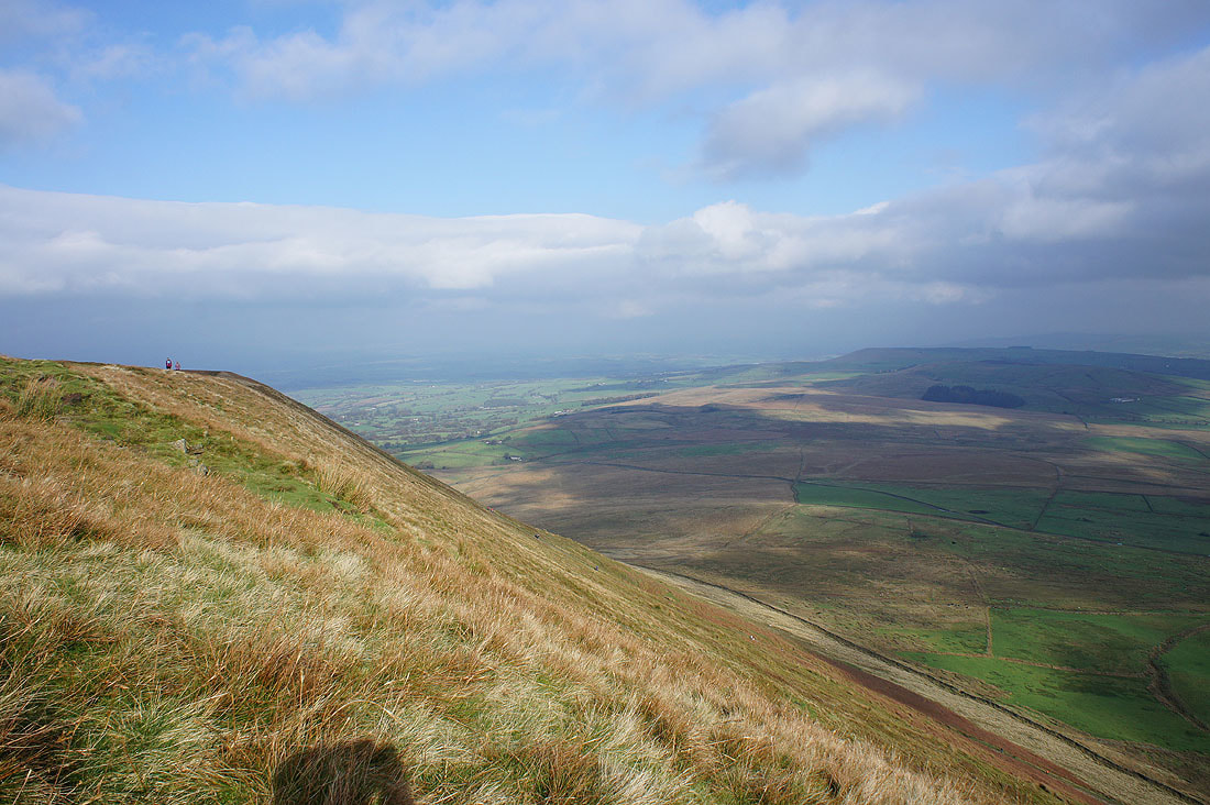
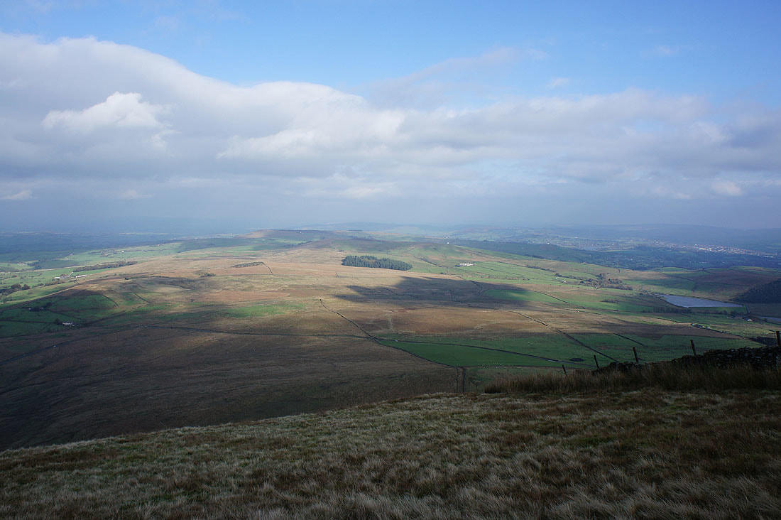
It was nice to have some warm sunshine to sit in and enjoy the view from the east face of the hill to Twiston Moor and Weets Hill
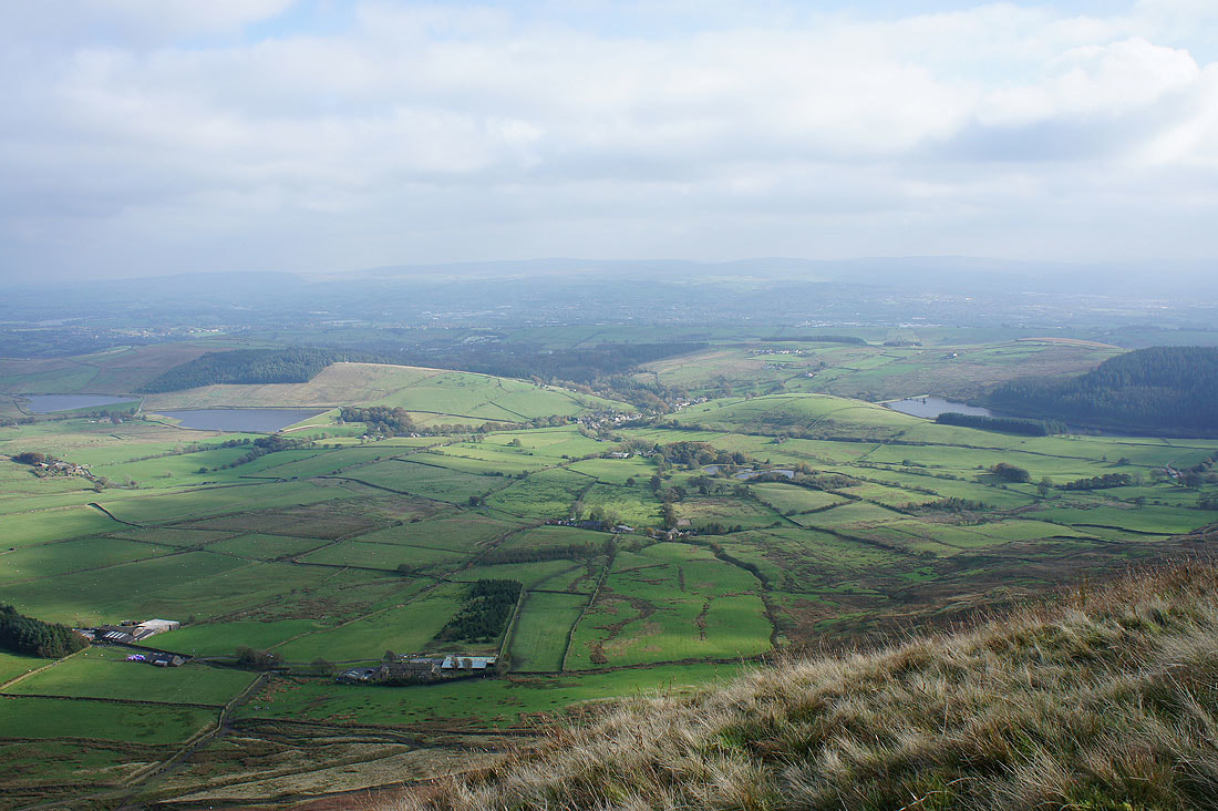
and down onto Barley
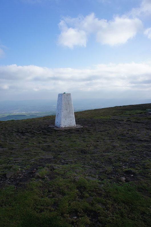
A briefly unoccupied trig point
A few photos of the view from the summit. Looking towards the Ribble Valley.
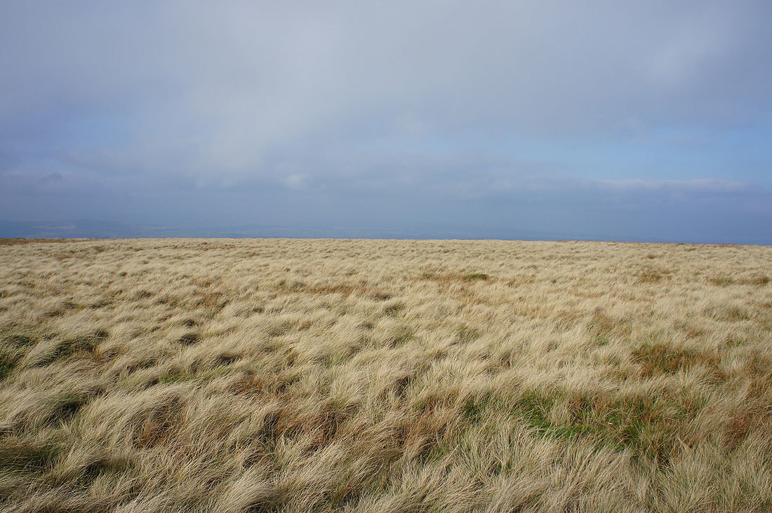
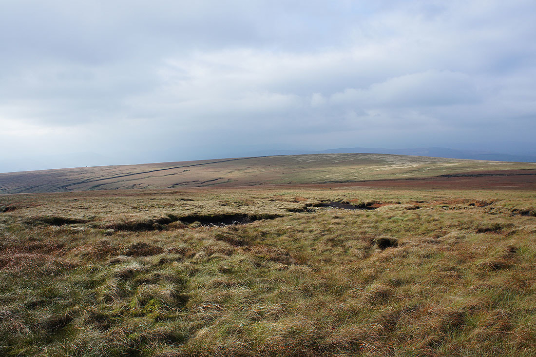
Downham Moor
The hills of the Yorkshire Dales are hidden by the murk and cloud
Twiston Moor and Weets Hill from the eastern end of Downham Moor
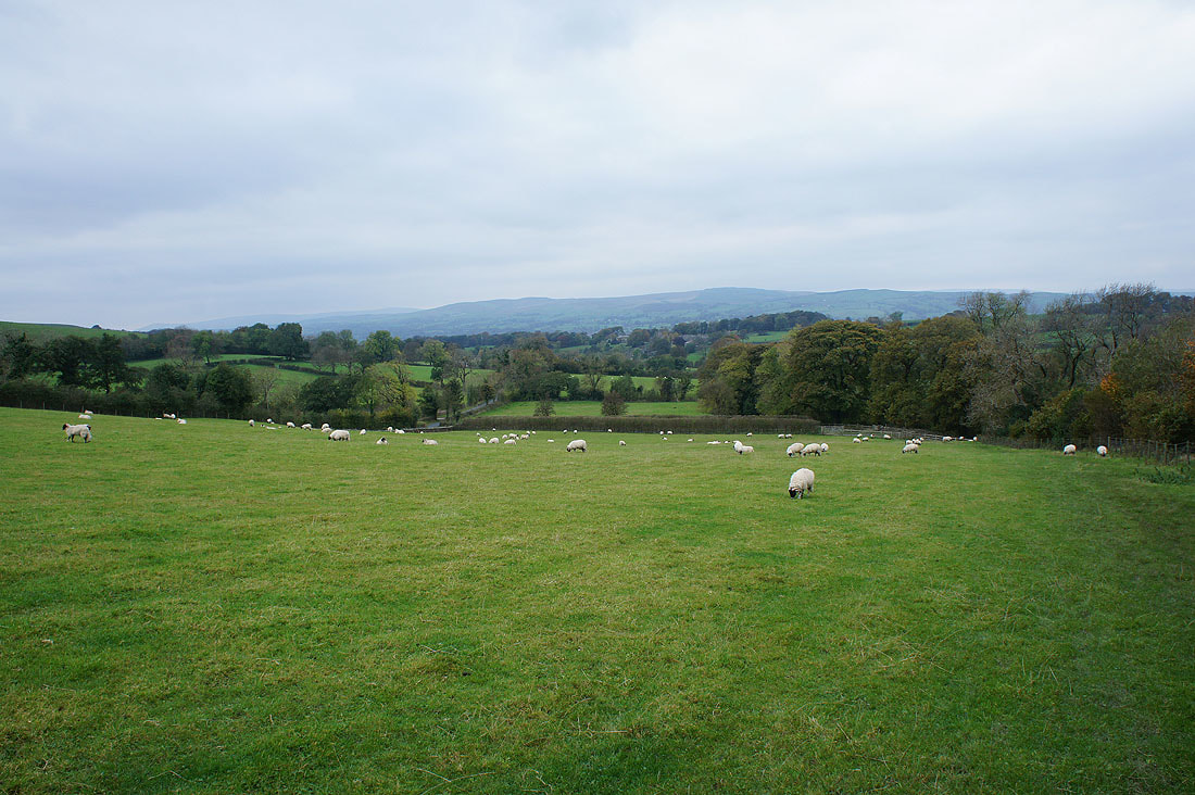
Heading back to Downham...
