15th September 2012 - Across High Cote Moor and back
Walk Details
Distance walked: 12.2 miles
Total ascent: 1723 ft
OS map used: OL2 - Yorkshire Dales, Southern & Western areas
Time taken: 6 hrs
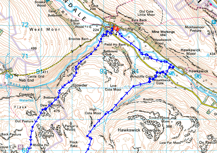
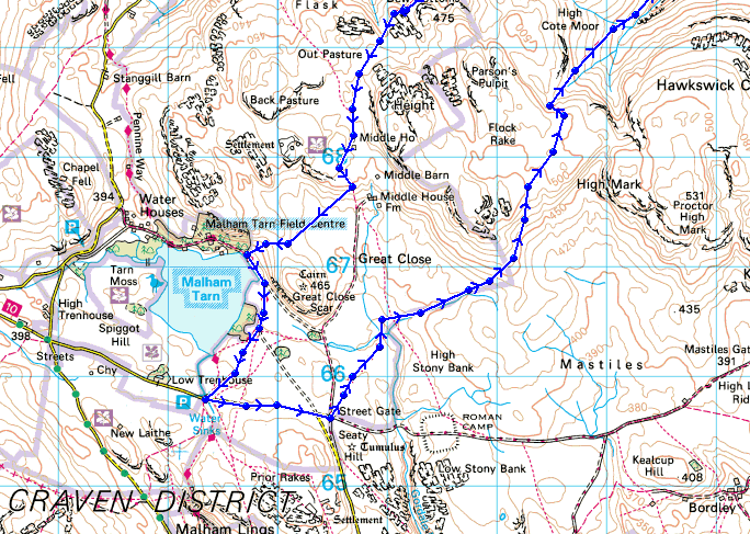
Route description: Arncliffe-Monk's Road-Middle House-Malham Tarn-Street Gate-High Cote Moor-Arncliffe Cote-Arncliffe
I really enjoyed this moorland crossing between Littondale and Malhamdale, the sort of walk where you can stride out and eat up the miles. It was windy though and it would have probably been too windy to make going onto the high fells a good idea.
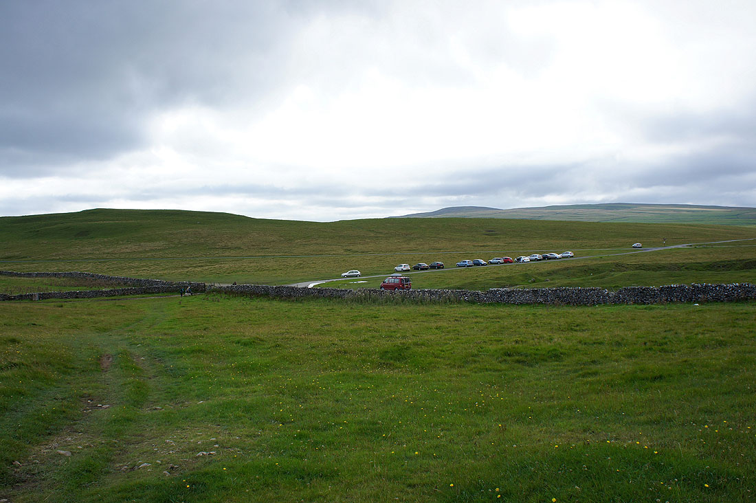
From Arncliffe I used the Monk's Road path to cross over to Malham Tarn. After taking advantage of the ice-cream van parked by the road next to where the Pennine Way heads for Malham Cove I walked along the road to Street Gate. I then followed the bridleway back across to Littondale at Arncliffe Cote. It was then just a case of walking back up the valley to Arncliffe.
Route map
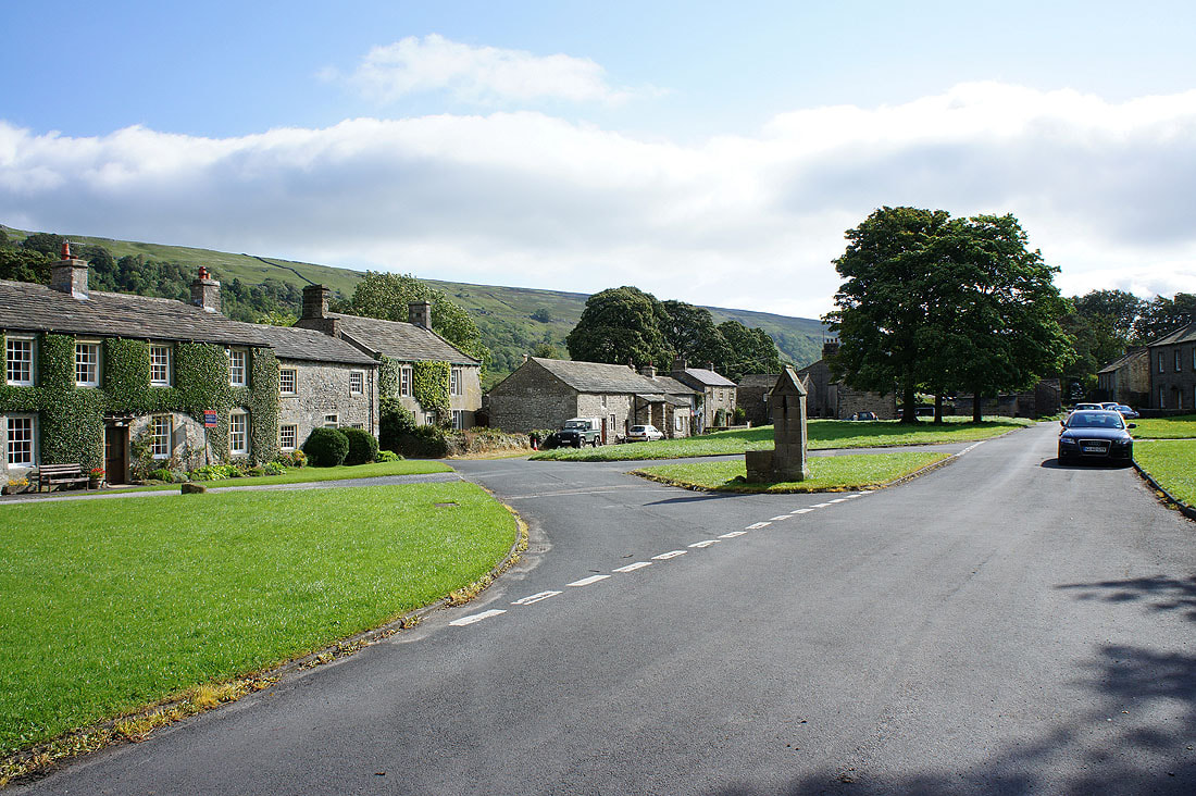
A fine start to the day in Arncliffe
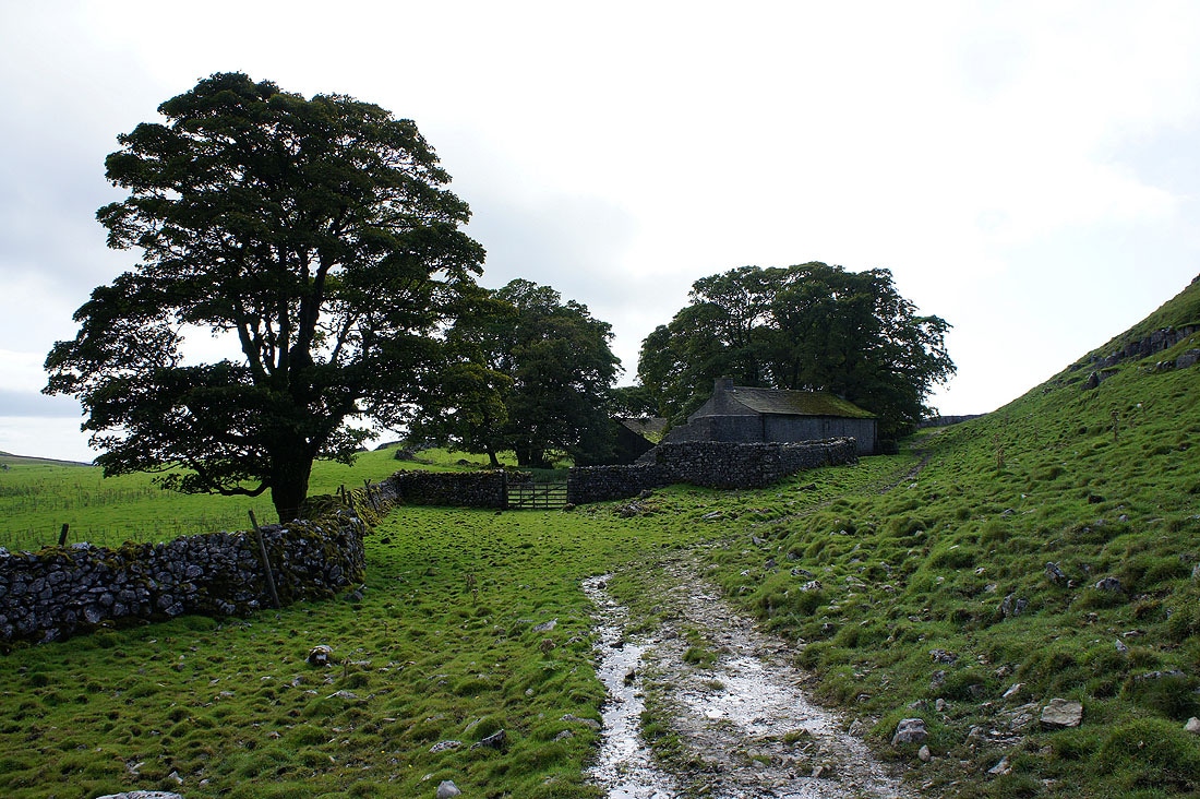
At the start of the Monk's Road path out of Arncliffe
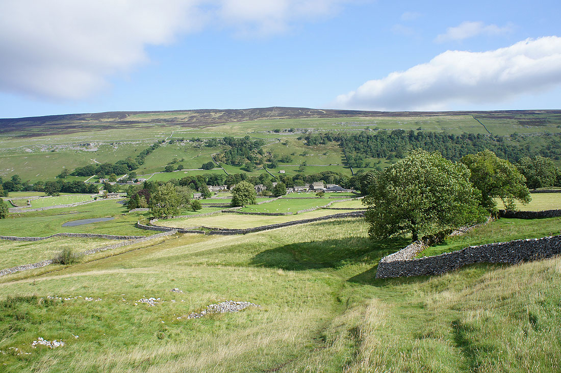
Arncliffe below
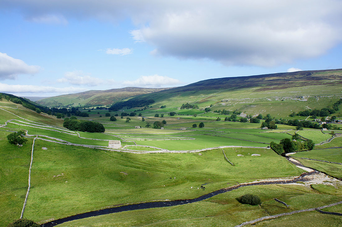
The view up Littondale. That's Cowside Beck below.
A panorama of Littondale
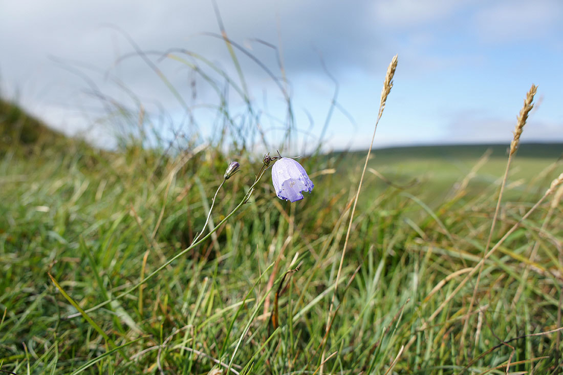
A lonely and windswept harebell
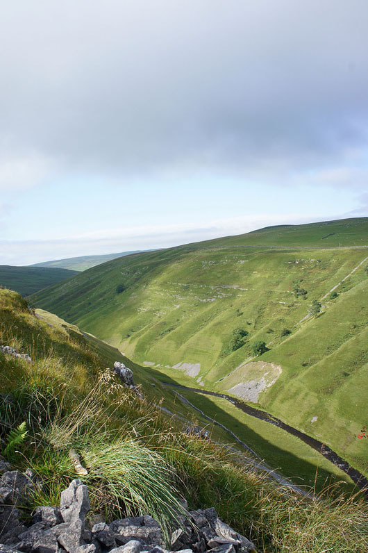
Above the steep sided valley of Cowside Beck
Higher up and Cowside Beck swings north and becomes Darnbrook Beck with its source on said fell
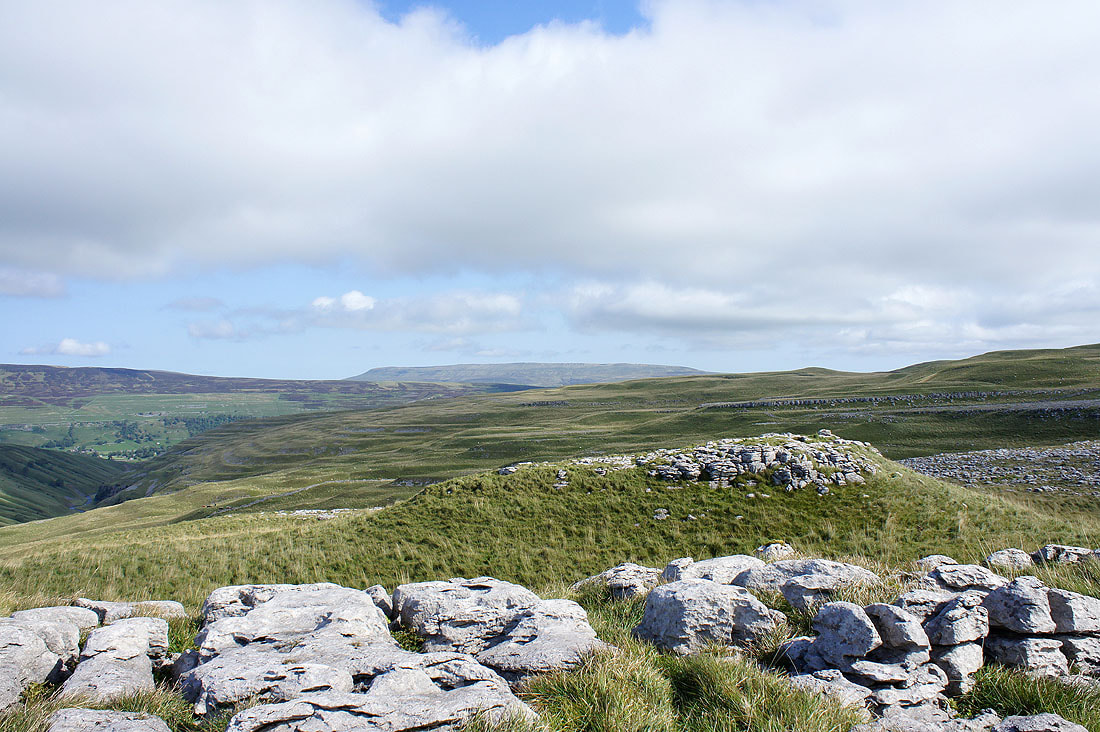
I've made a short detour from the path to the limestone outcrop of Middle House Hill to see what the view was like from it. This is looking towards Fountains Fell and Darnbrook Fell.
Great Whernside in the distance
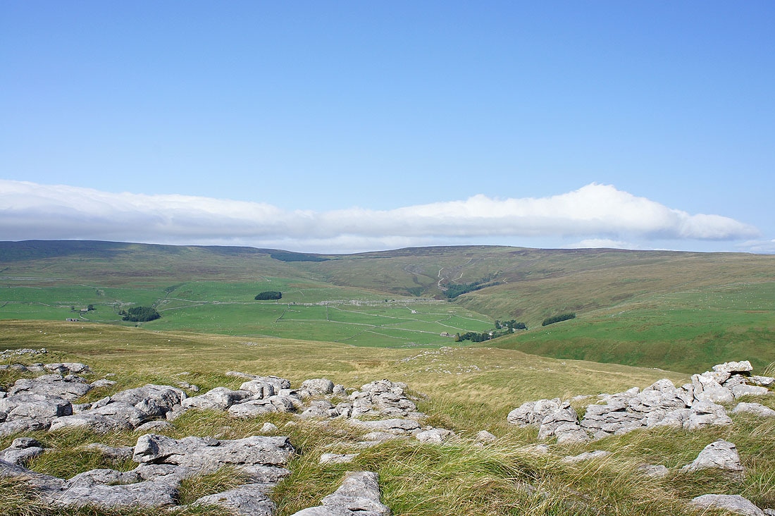
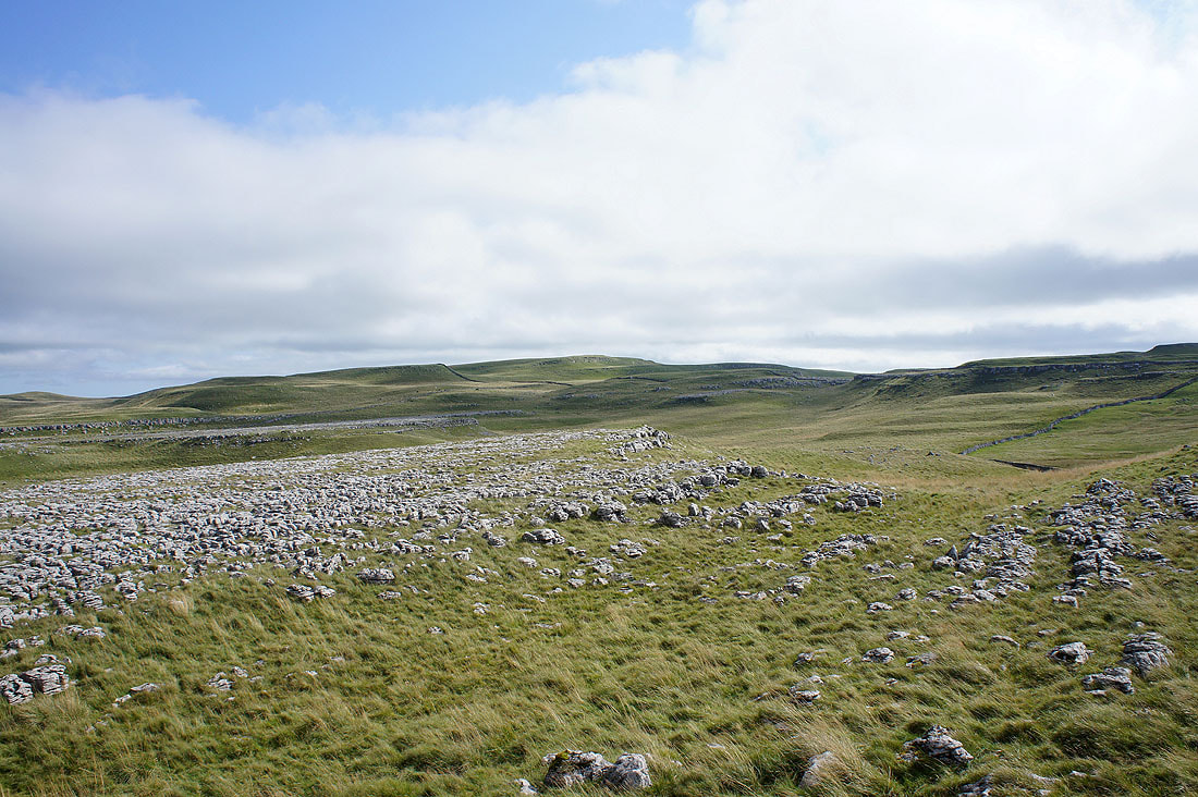
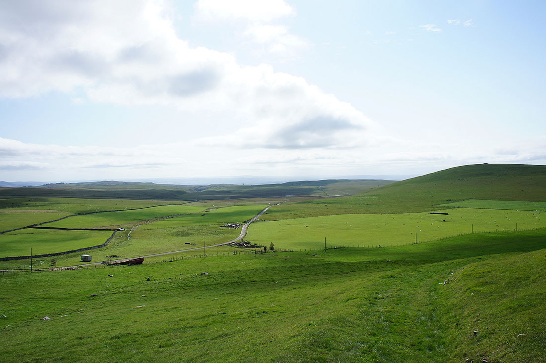
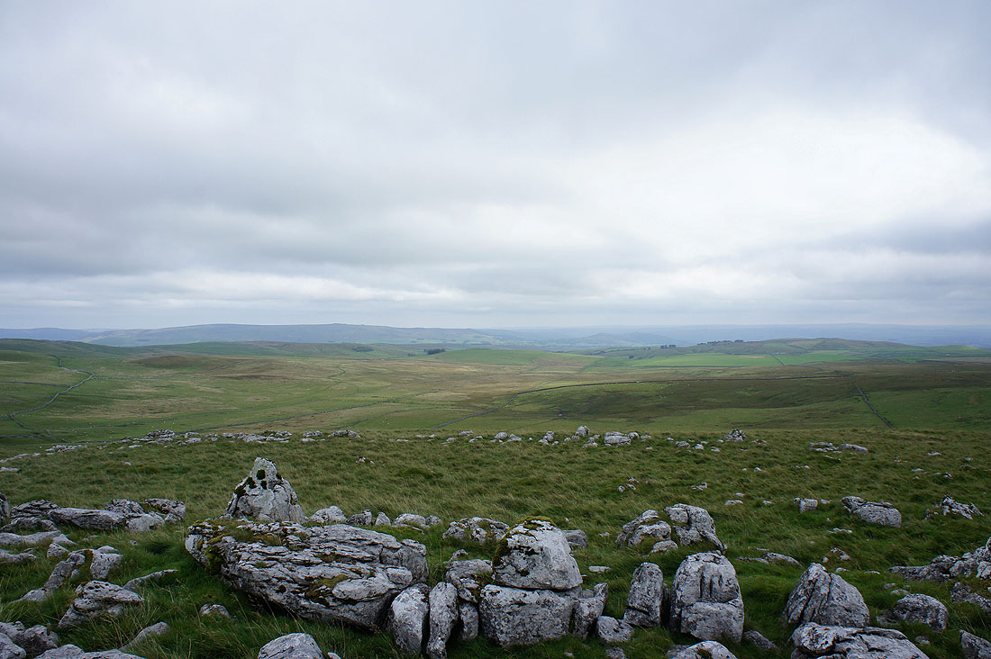
The limestone moors between Littondale and Malhamdale
Passing the buildings of Middle House
The plateau behind Gordale Scar and Malham Cove. Malham Tarn is just behind Great Close Hill on the right hand side of the picture.
On the final stretch to Malham Tarn and I couldn't resist turning round to watch the cloud shadows passing over the scars behind Middle House Farm
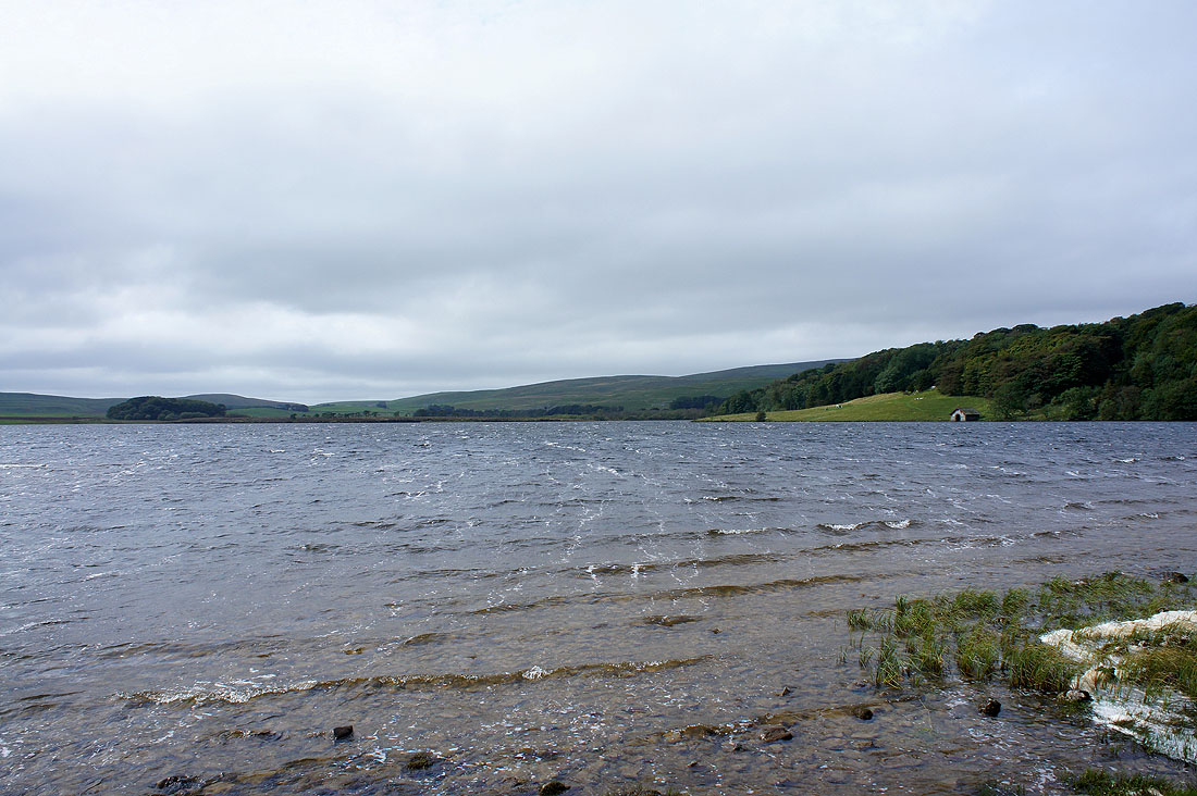
A windswept Malham Tarn. Not a busy place today.
Street Gate, an important meeting place for paths. The bridleway I'm taking across to Arncliffe Cote starts here as does the green way of Mastiles Lane.
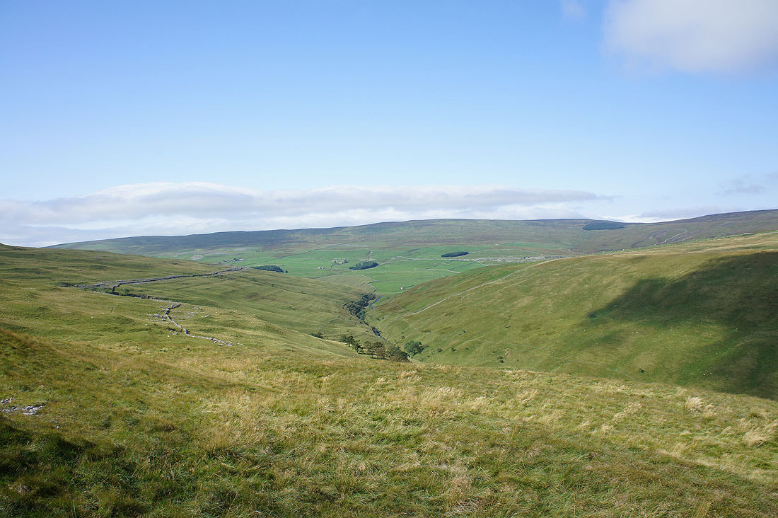
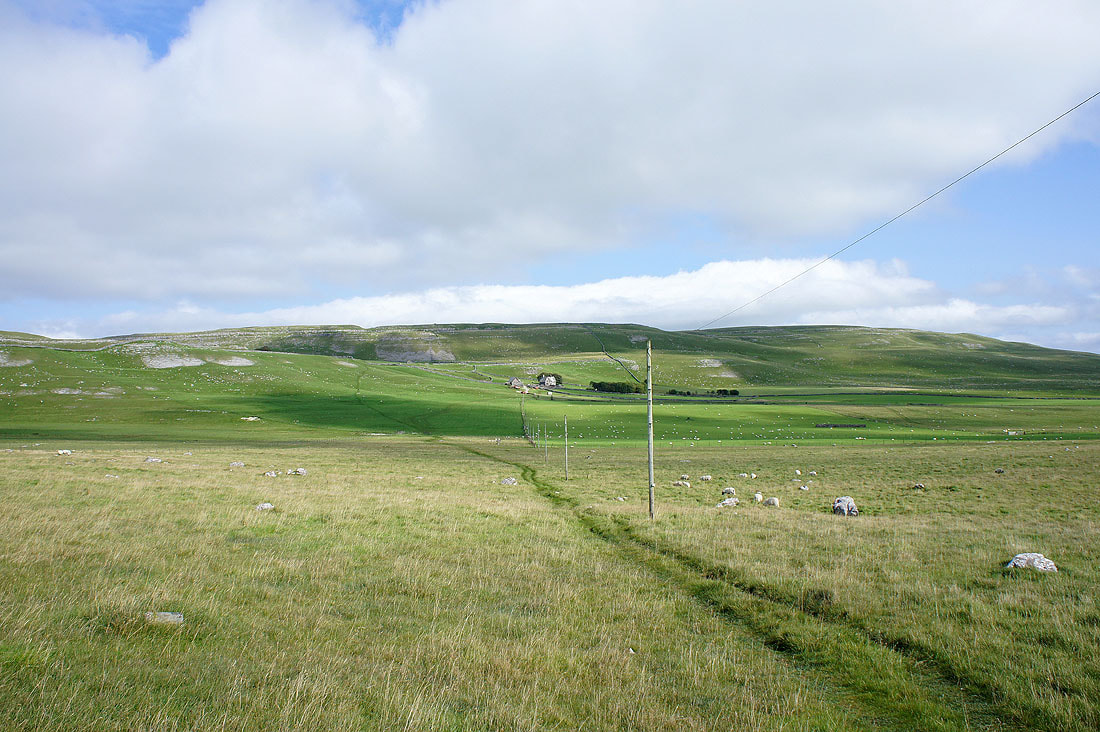
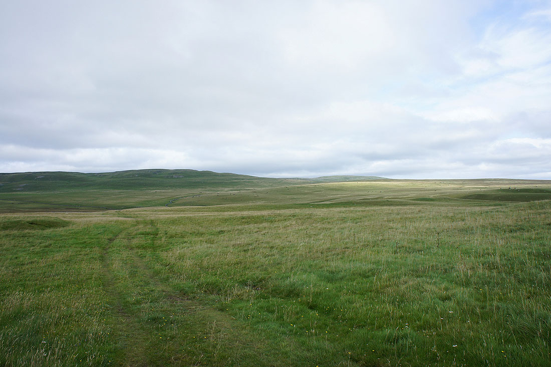
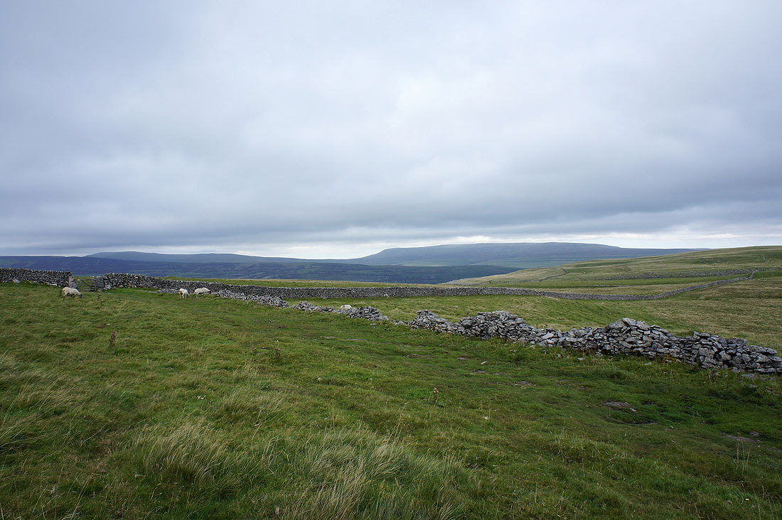
Wide open spaces to come as I head back across High Cote Moor. Great walking country.
The view back to Great Close Hill as I head across the moor
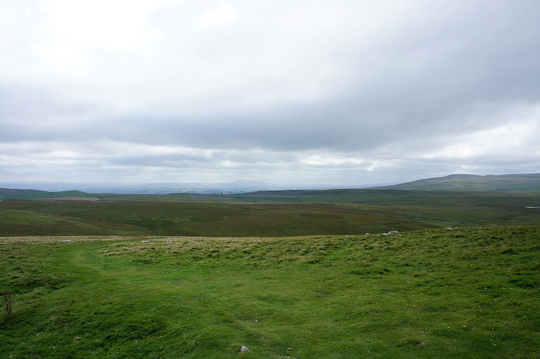
I could just about make out Pendle Hill in the distance
Burnsall Fell above Wharfedale is in the distance on the left
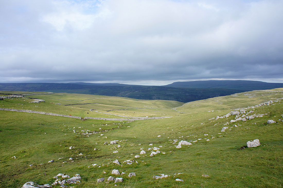
Reaching the high point of the crossing and Great Whernside comes into view
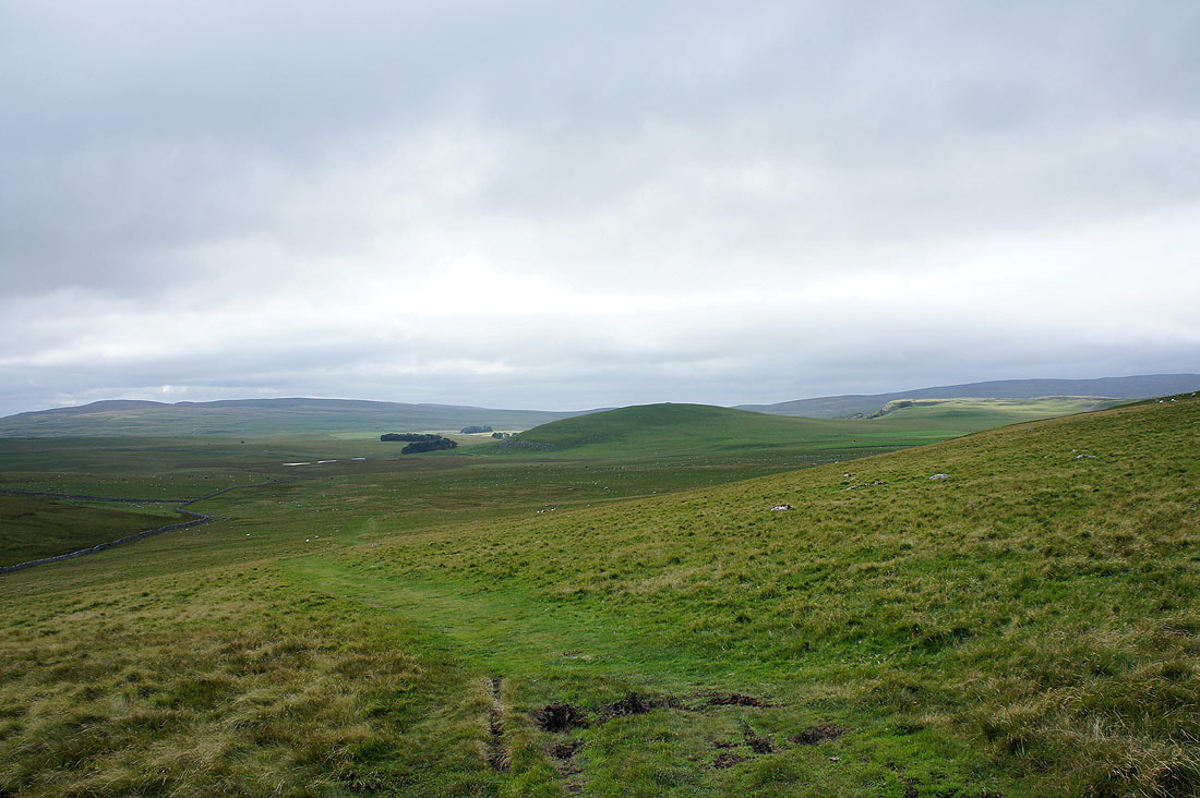
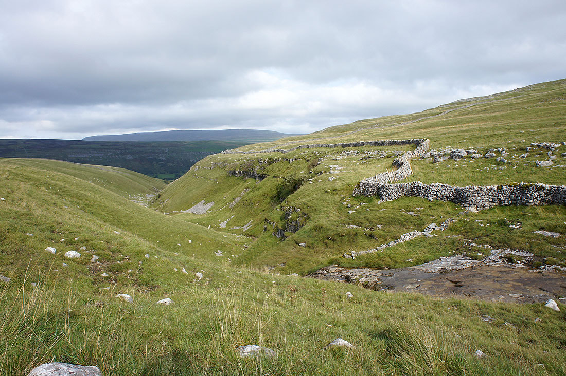
Heading down and the path aims for the valley of Cote Gill
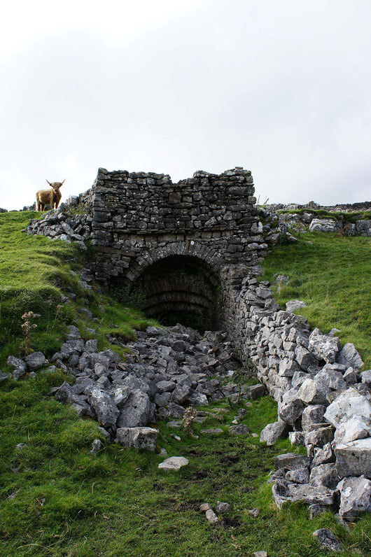
A disused lime kiln just off the path
Cote Gill
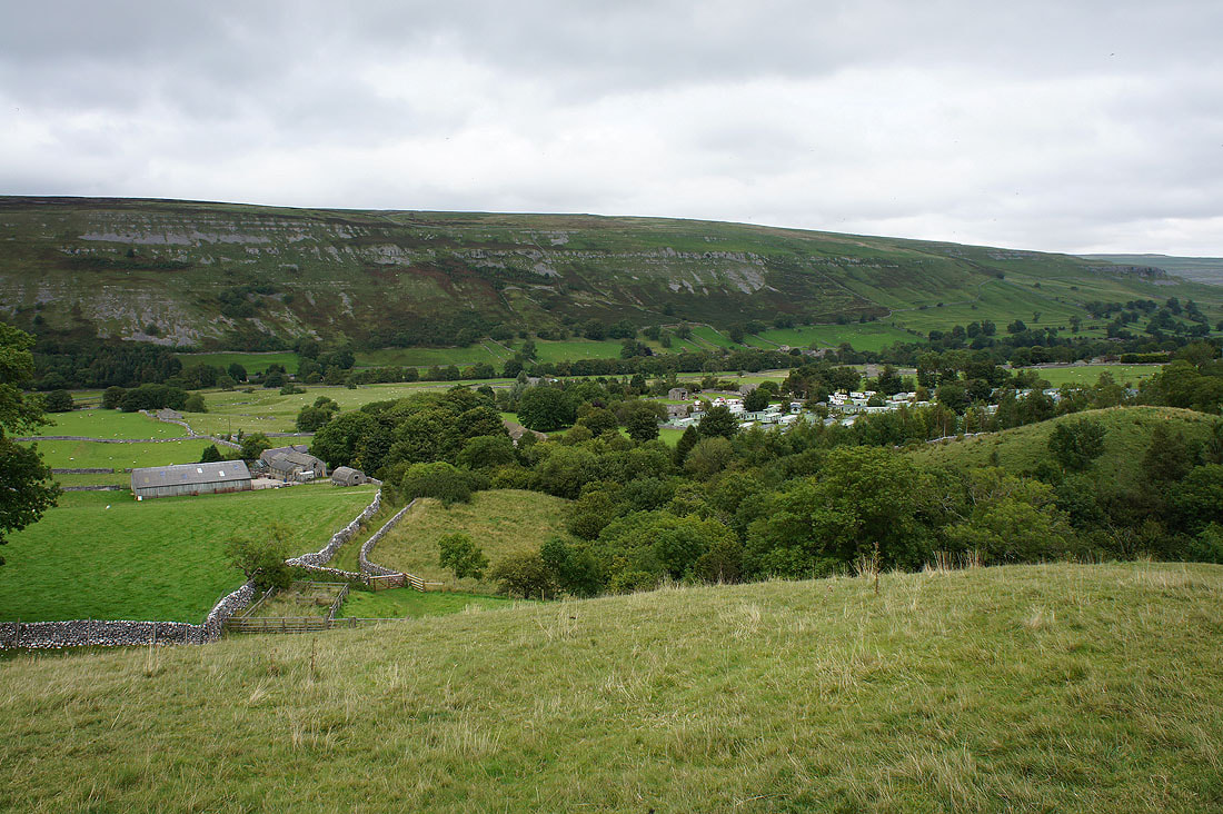
Back in Littondale. I'm heading for Arncliffe Cote farm on the left. That's the caravan site of Hawkswick Cote on the right.
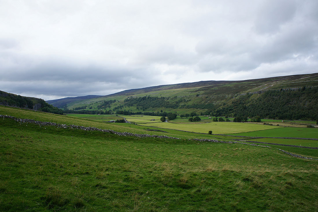
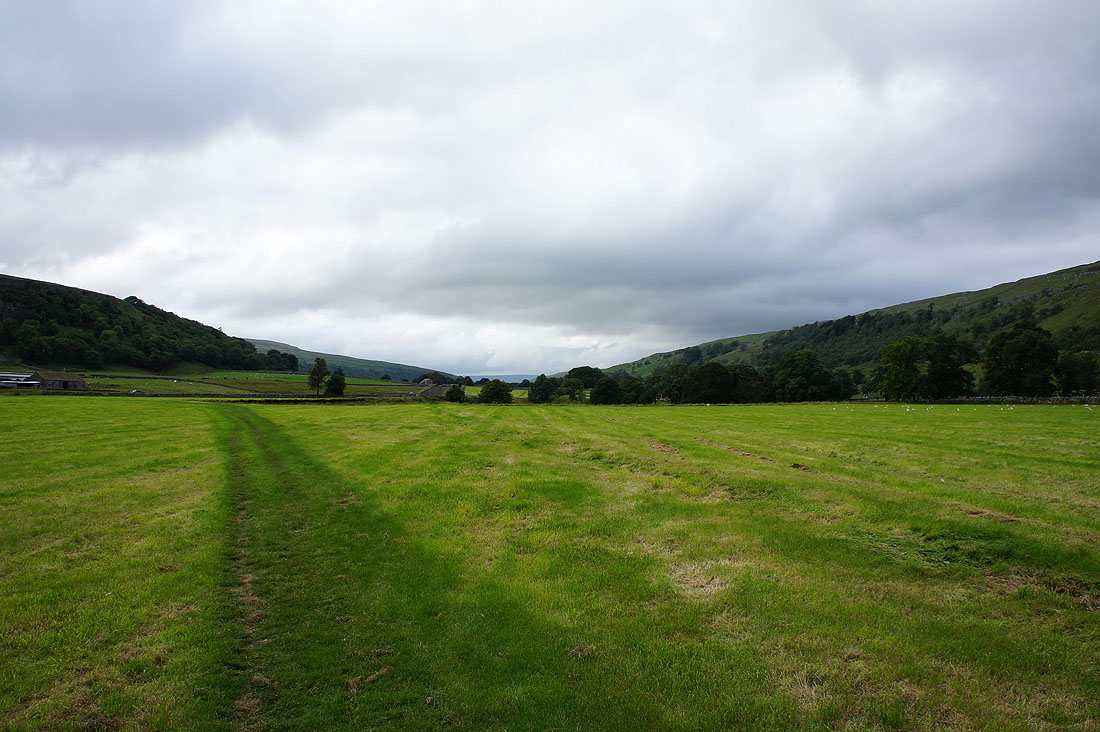
The view up Littondale
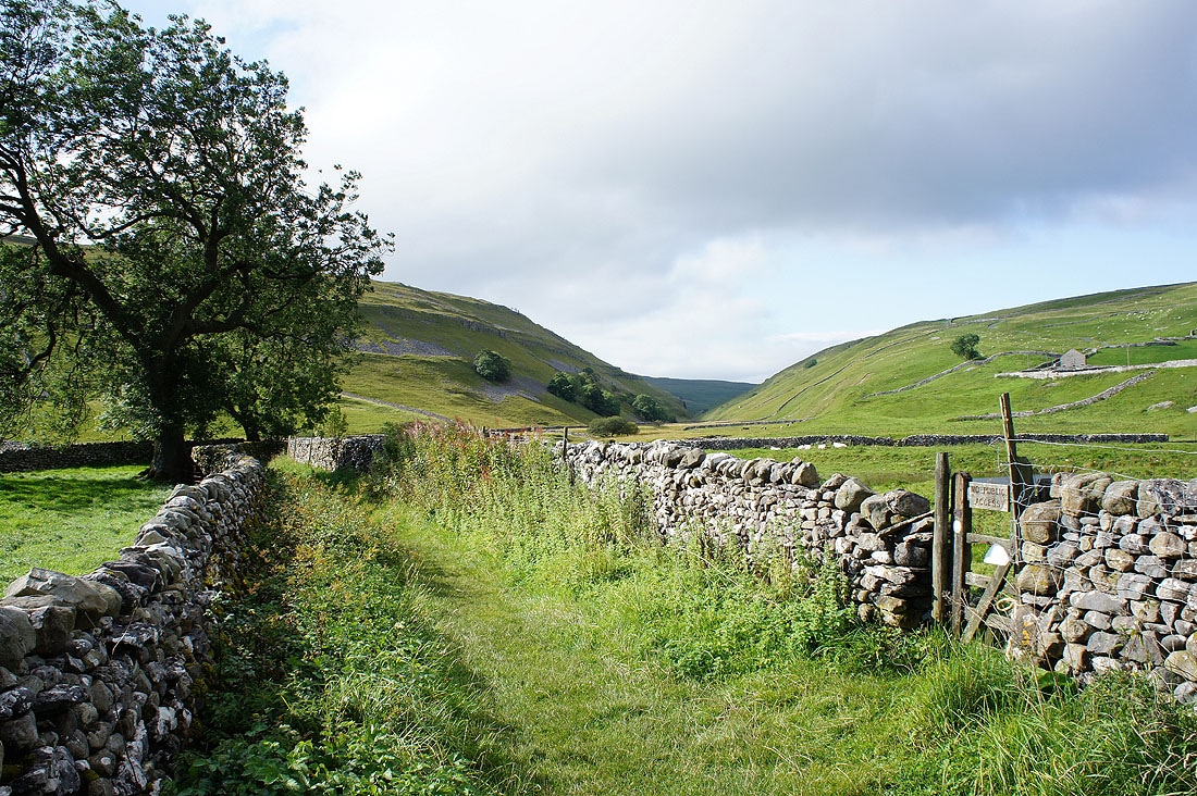
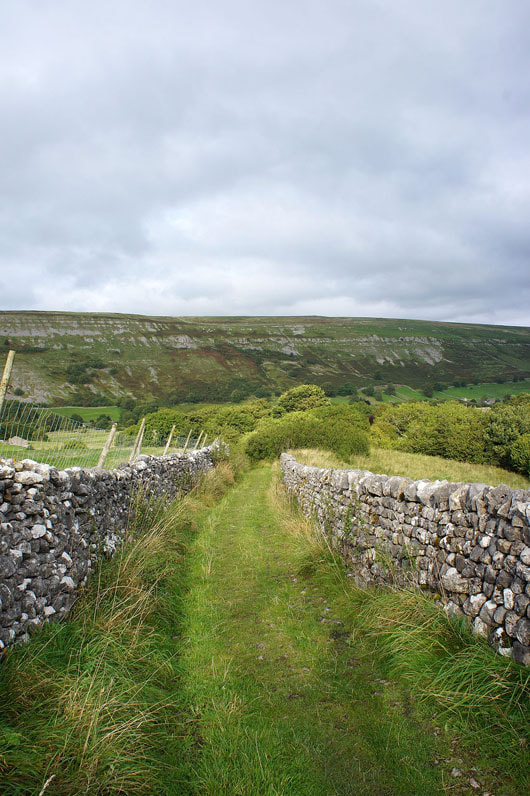
The walled track down to Arncliffe Cote
Heading up Littondale
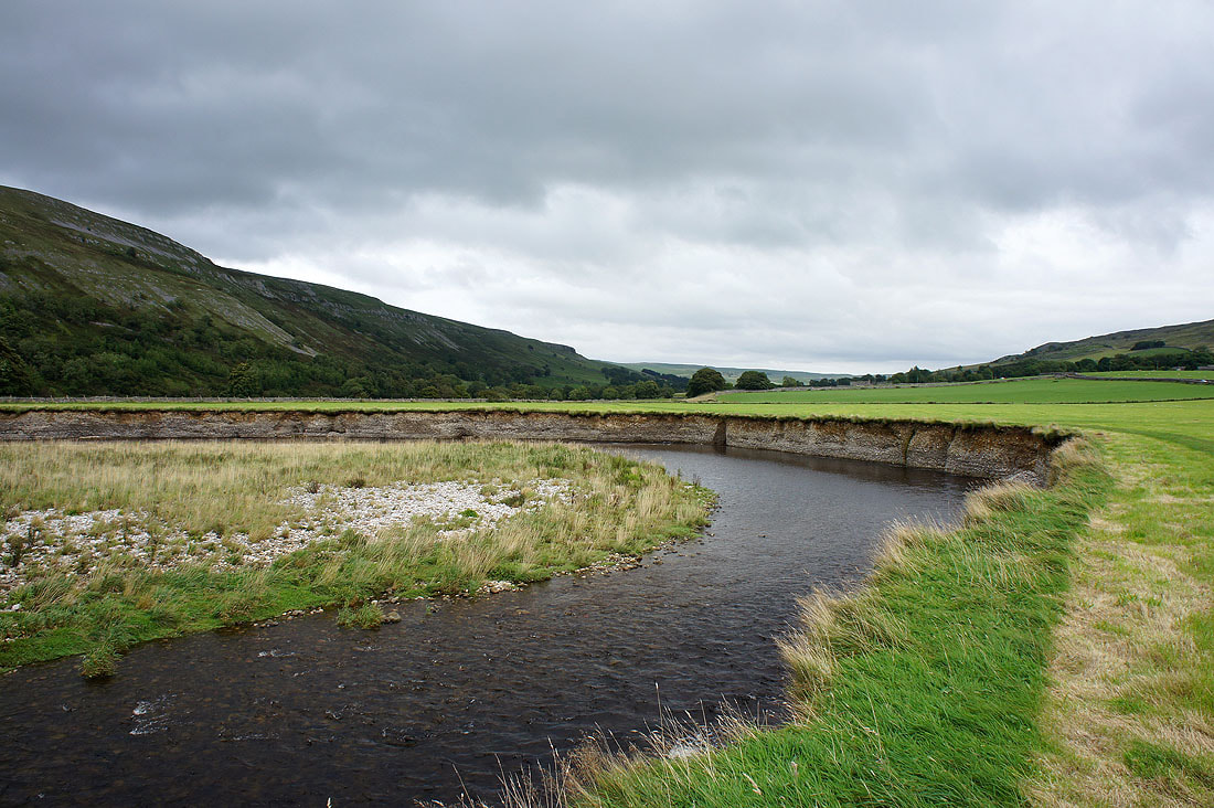
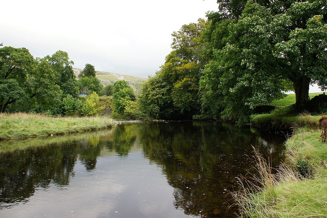
A couple of shots of the River Skirfare on the way back to Arncliffe..
