15th September 2018 - Around the Goyt Valley
Walk Details
Distance walked: 11.3 miles
Total ascent: 2015 ft
OS map used: OL24 - The Peak District, White Peak area
Time taken: 6 hrs
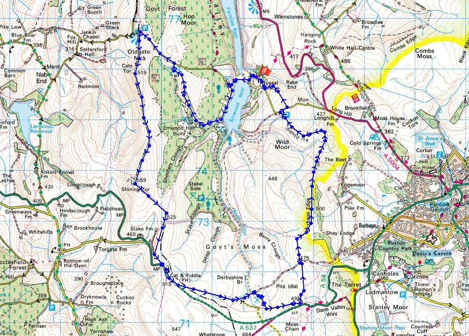
Route description: Errwood Reservoir-Shooter's Clough Bridge-Foxlow Edge-The Street-Pym Chair-Cats Tor-Shining Tor-Cat & Fiddle-Derbyshire Bridge-Burbage Edge-Dismantled Railway-Goyt's Lane-Errwood Reservoir
The best of the weather was to be found to the south in the Peak District today. It was certainly better than that that I left home in, grey skies and rain, which was forecast to move north. I decided to head for the Goyt Valley, which is in the west of the park to the east of Macclesfield. The route I followed is one that I've done before, nearly three years ago, and takes in a circuit of the moors at the top of the Goyt Valley including Shining Tor and Burbage Edge. Apart from the Cats Tor to Shining Tor ridge it's pretty quiet walking. The skies remained cloudy throughout the day with only a little sunshine from time to time and it was windy up on the moors, especially on Shining Tor.
From the car park on Goyt's Lane to the east of the dam of Errwood Reservoir I set off by walking along the dam, then south down the road to Shooter's Clough Bridge. Here, I left the road for a path up through the woods, then along Foxlow Edge to the road of The Street. After walking by the road up to Pym Chair I then did the ridge walk south along the top of Cats Tor to the trig point and summit of Shining Tor. Lunch was taken here and after taking in the view I took the path southeast down to the top of Shooter's Clough and up to the next ridgeline, where I turned right onto the path that heads south to the Cat & Fiddle road. I then had a noisy ten minutes walking past the Cat & Fiddle Inn (still closed) until I left the main road for the one down to Derbyshire Bridge. From the car park where the road takes a sharp left I took a footpath south across the moor to a track which I followed east towards the A54. At the top of the track I took a footpath north across the moor to a byway, which I crossed and took the public footpath that heads north and then a path across the moor to reach the trig point on Burbage Edge. The descent from Burbage Edge was a bit awkward in places but once I reached the dismantled railway that's on the map there was easy walking all the way round to the car park by the little reservoir on Goyt's Lane. To avoid walking down the road I used the footpath opposite the car park that crosses a couple of fields to join Goyt's Lane again opposite Bunsal Cob, which left me with a short walk down to the car park.
Total ascent: 2015 ft
OS map used: OL24 - The Peak District, White Peak area
Time taken: 6 hrs
Route description: Errwood Reservoir-Shooter's Clough Bridge-Foxlow Edge-The Street-Pym Chair-Cats Tor-Shining Tor-Cat & Fiddle-Derbyshire Bridge-Burbage Edge-Dismantled Railway-Goyt's Lane-Errwood Reservoir
The best of the weather was to be found to the south in the Peak District today. It was certainly better than that that I left home in, grey skies and rain, which was forecast to move north. I decided to head for the Goyt Valley, which is in the west of the park to the east of Macclesfield. The route I followed is one that I've done before, nearly three years ago, and takes in a circuit of the moors at the top of the Goyt Valley including Shining Tor and Burbage Edge. Apart from the Cats Tor to Shining Tor ridge it's pretty quiet walking. The skies remained cloudy throughout the day with only a little sunshine from time to time and it was windy up on the moors, especially on Shining Tor.
From the car park on Goyt's Lane to the east of the dam of Errwood Reservoir I set off by walking along the dam, then south down the road to Shooter's Clough Bridge. Here, I left the road for a path up through the woods, then along Foxlow Edge to the road of The Street. After walking by the road up to Pym Chair I then did the ridge walk south along the top of Cats Tor to the trig point and summit of Shining Tor. Lunch was taken here and after taking in the view I took the path southeast down to the top of Shooter's Clough and up to the next ridgeline, where I turned right onto the path that heads south to the Cat & Fiddle road. I then had a noisy ten minutes walking past the Cat & Fiddle Inn (still closed) until I left the main road for the one down to Derbyshire Bridge. From the car park where the road takes a sharp left I took a footpath south across the moor to a track which I followed east towards the A54. At the top of the track I took a footpath north across the moor to a byway, which I crossed and took the public footpath that heads north and then a path across the moor to reach the trig point on Burbage Edge. The descent from Burbage Edge was a bit awkward in places but once I reached the dismantled railway that's on the map there was easy walking all the way round to the car park by the little reservoir on Goyt's Lane. To avoid walking down the road I used the footpath opposite the car park that crosses a couple of fields to join Goyt's Lane again opposite Bunsal Cob, which left me with a short walk down to the car park.
Route map
© Crown copyright. All rights reserved. License number PU 100034184.
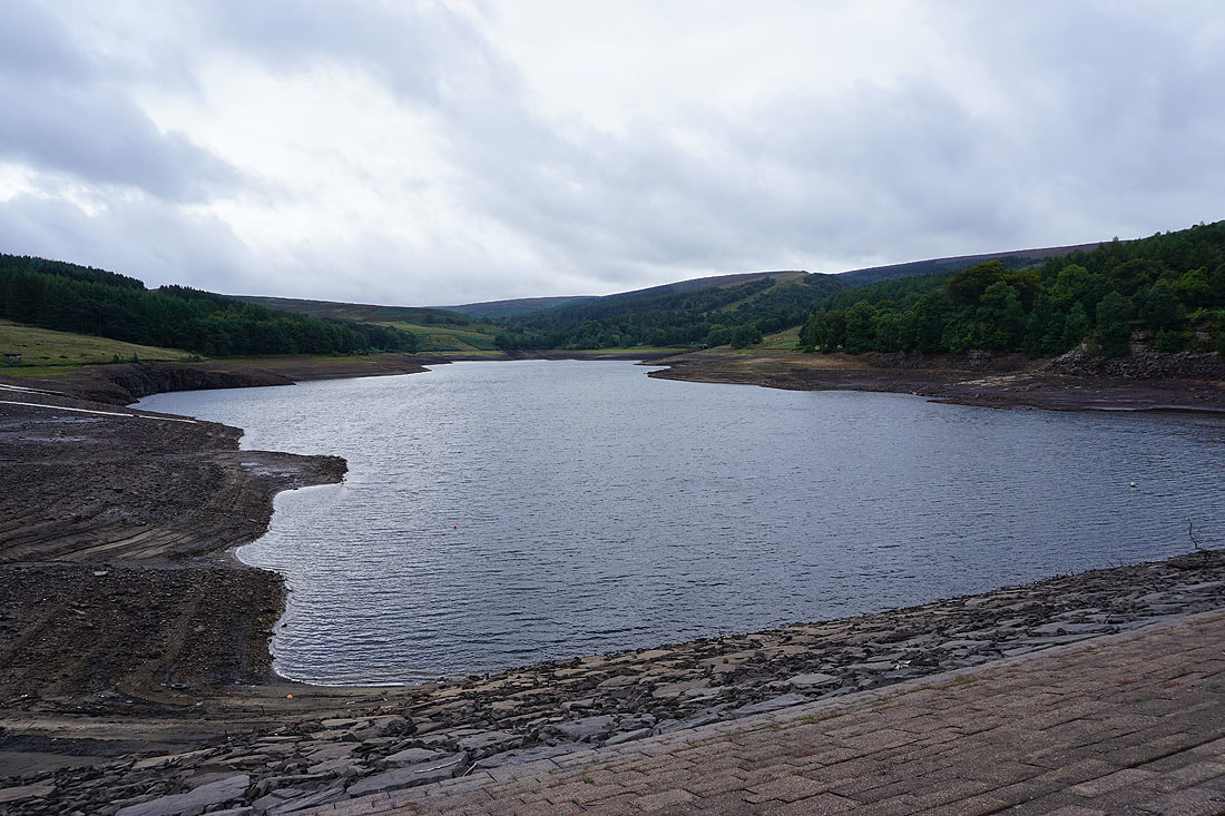
Errwood Reservoir is far from full as I cross its dam
Looking back to a great view towards Goyt's Clough as I head north along Foxlow Edge. There's a hint of autumn in the colours.

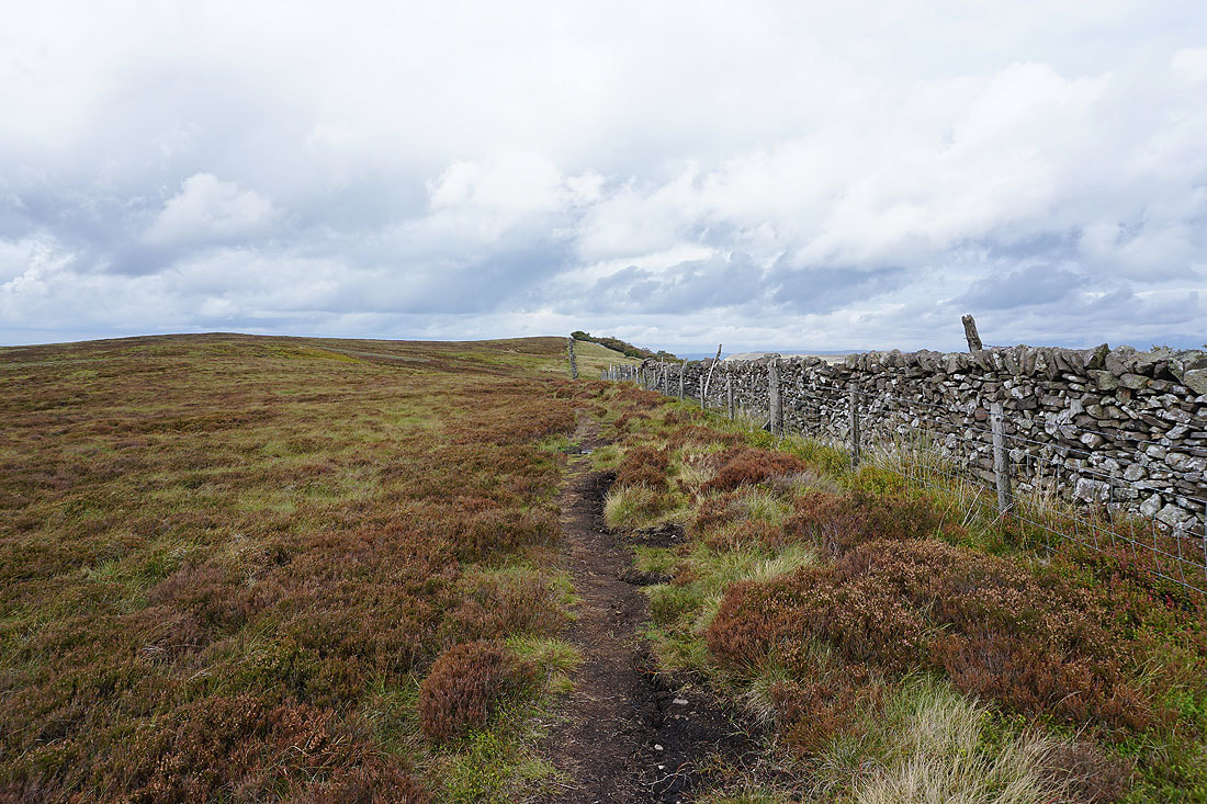
On Foxlow Edge to the road of The Street
Kinder Scout in the distance from Foxlow Edge
Looking back east along The Street as I head for Pym Chair
Kinder Scout in the distance from Pym Chair..
..and looking north to Windgather Rocks and Whaley Moor
Looking north to Sponds Hill and Whaley Moor from Cats Tor
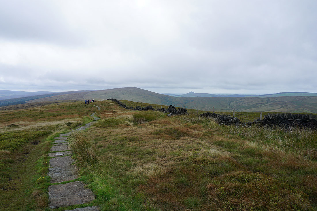
Heading south to Shining Tor
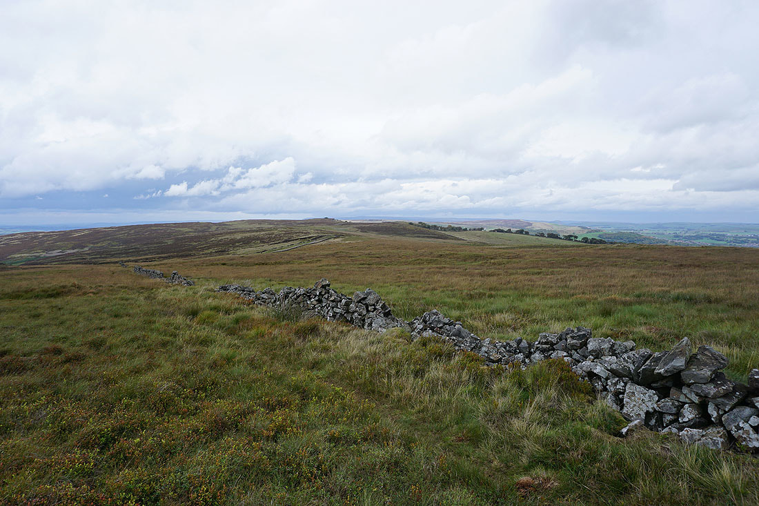
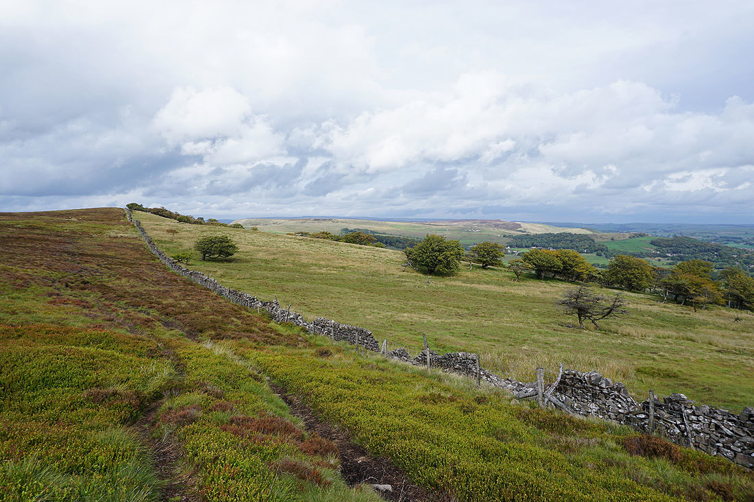
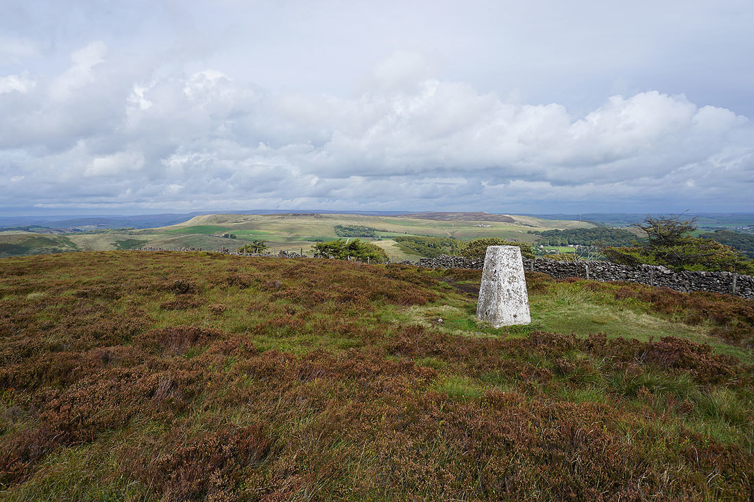
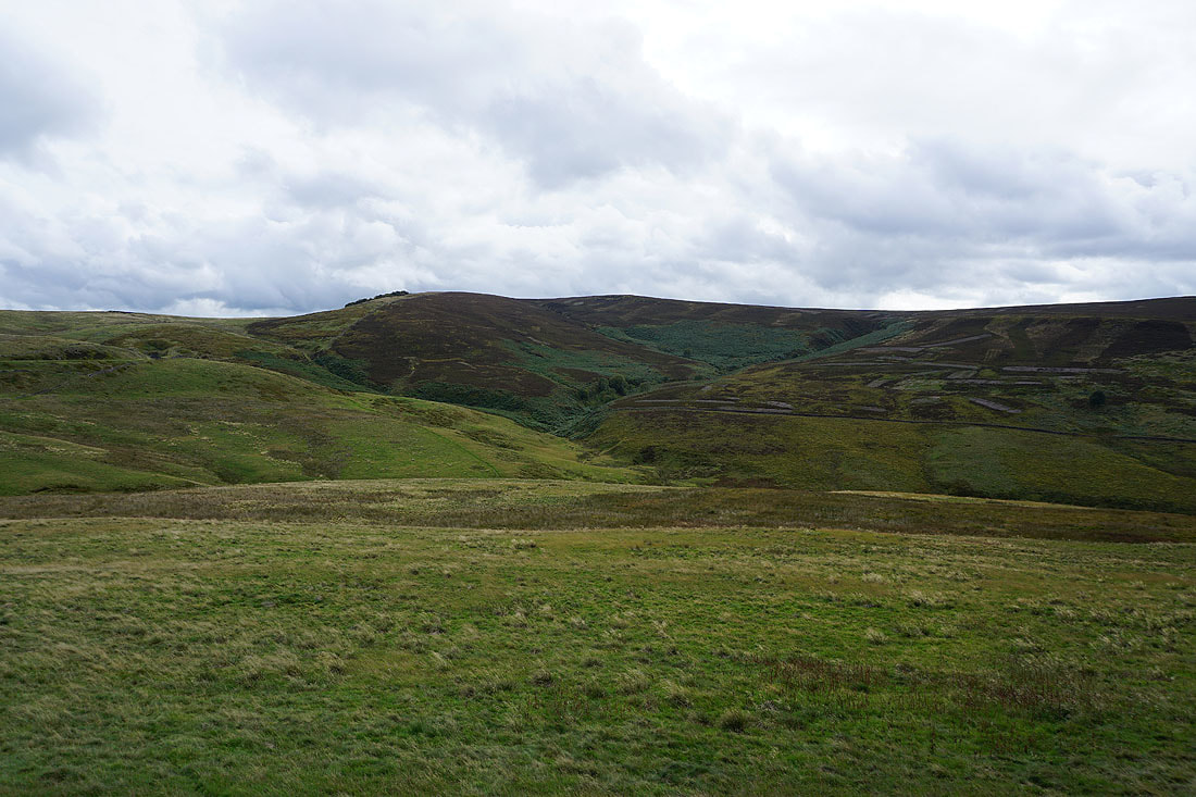
Foxlow Edge nearby on the left with Burbage Edge, which I'll be on later in the day, in the distance on the right
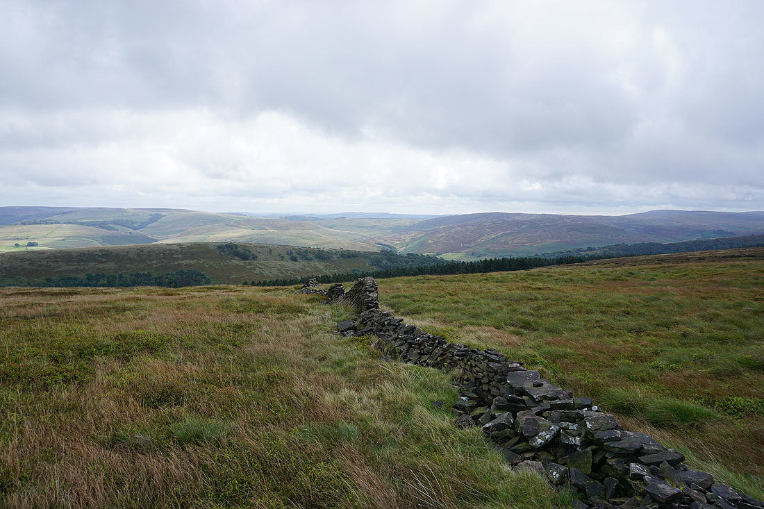
Looking back to Cats Tor
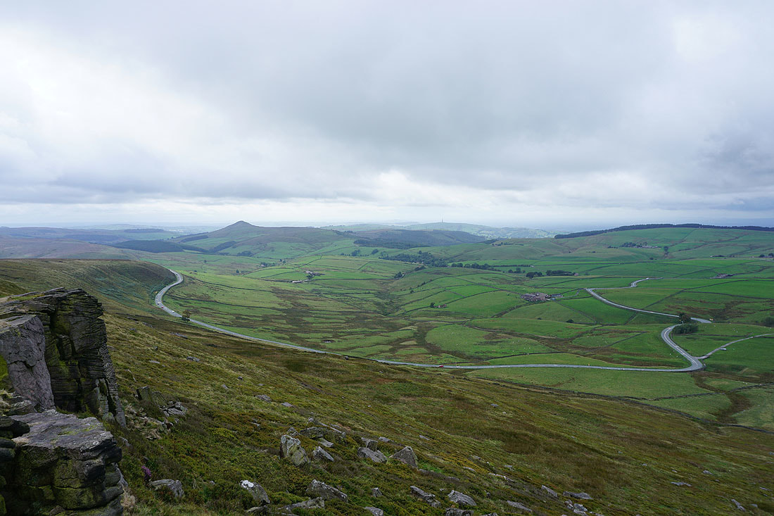
On Shining Tor and what I think is its best view. Shutlingsloe with the Cat & Fiddle road below.
Looking north to Andrew's Edge and Cats Tor
The sunlit southern slopes of Kinder Scout in the distance
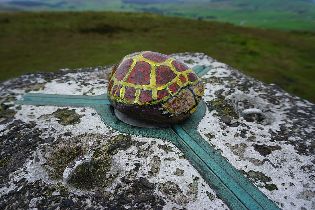
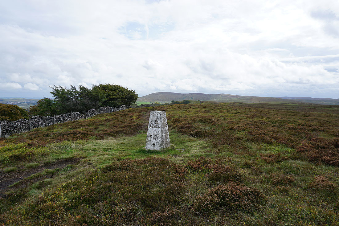
The trig point with a pebble painted as a tortoise for company
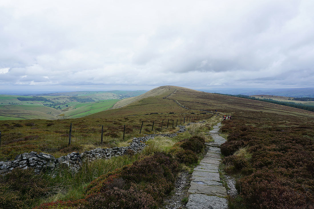
Looking back to Shining Tor as I follow the footpath towards the Cat & Fiddle
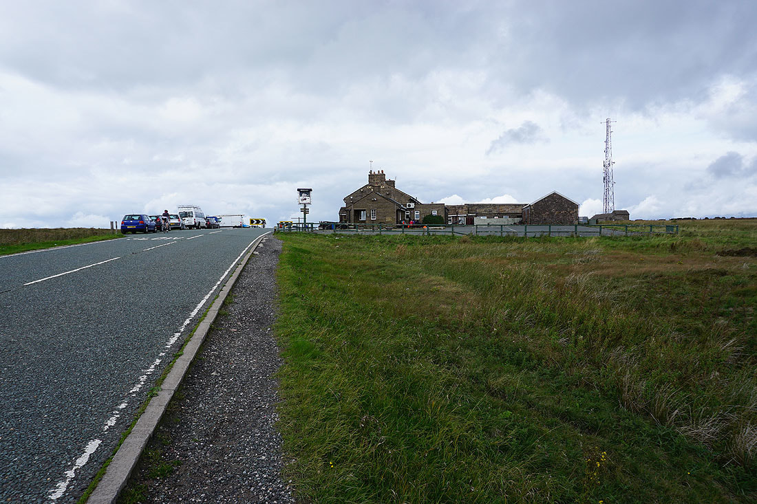
The Cat & Fiddle pub. Still closed.
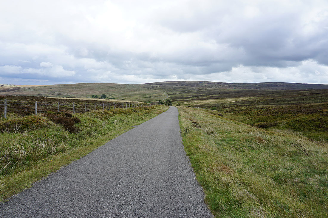
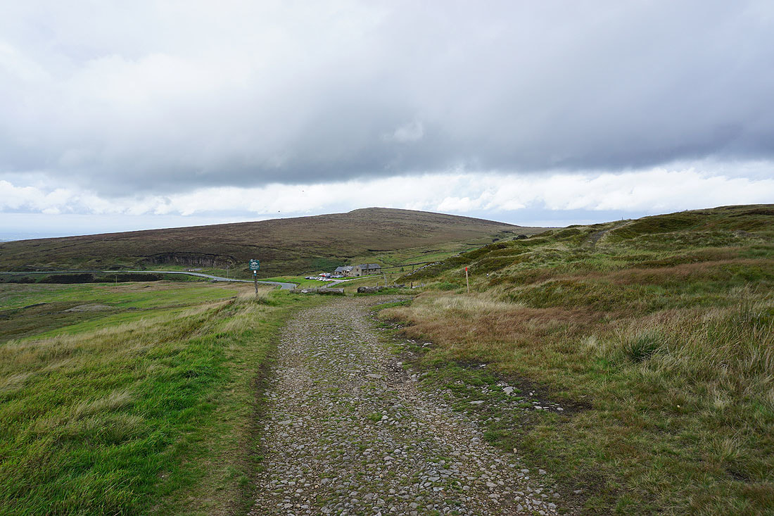
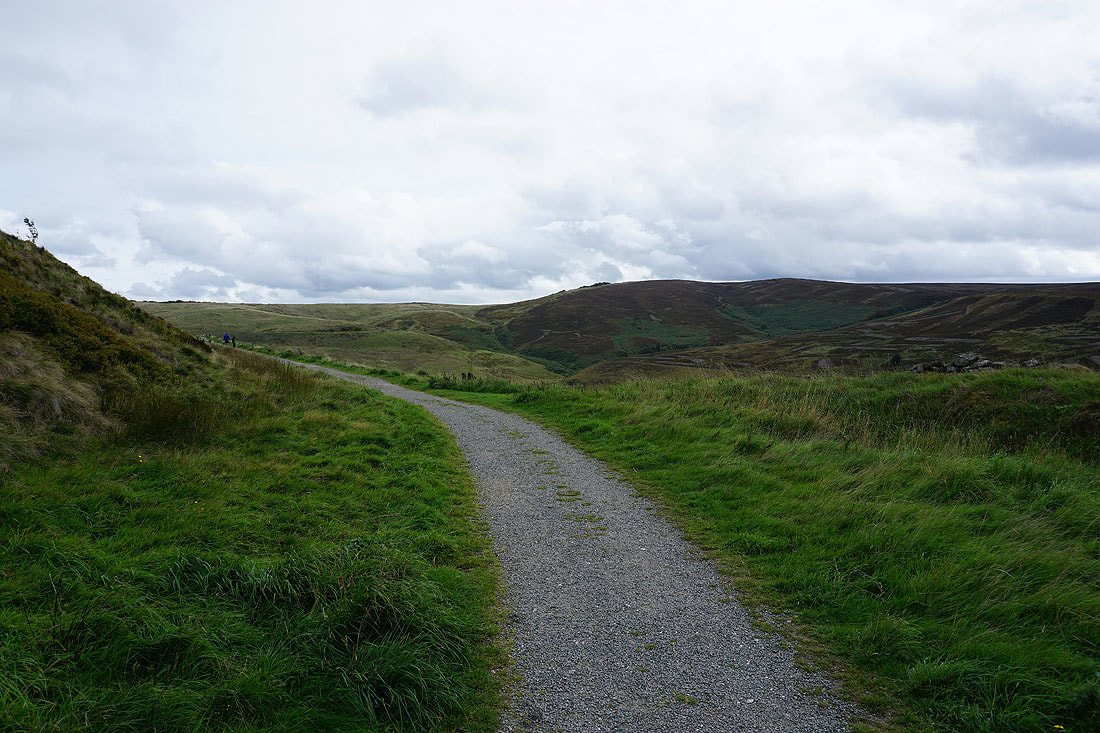
Heading for Derbyshire Bridge
From the car park at Derbyshire Bridge a footpath took me to this track across the moor towards the A54
Looking back towards the Cat & Fiddle road and the car park at Derbyshire Bridge is in the trees on the right
I leave the track for a footpath across the moor towards Burbage Edge
Shining Tor and Cats Tor above Goyt's Clough
I cross this byway which heads down into Buxton
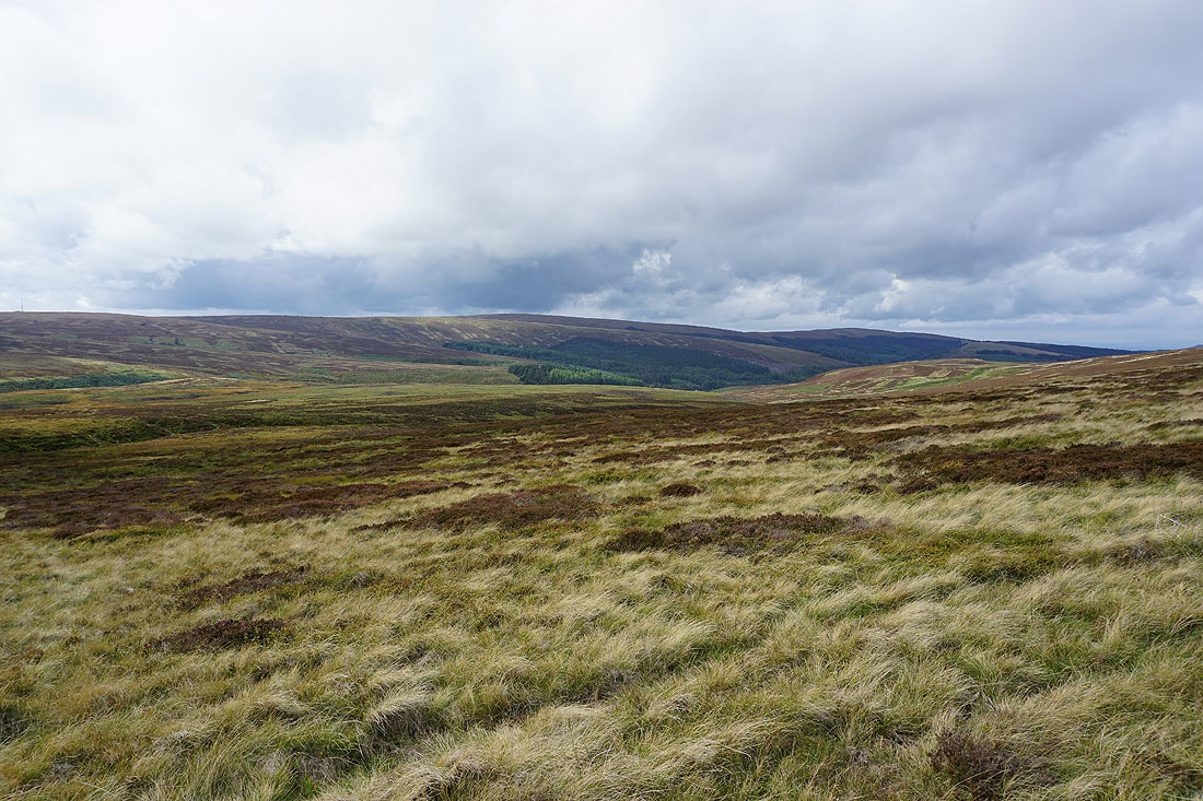
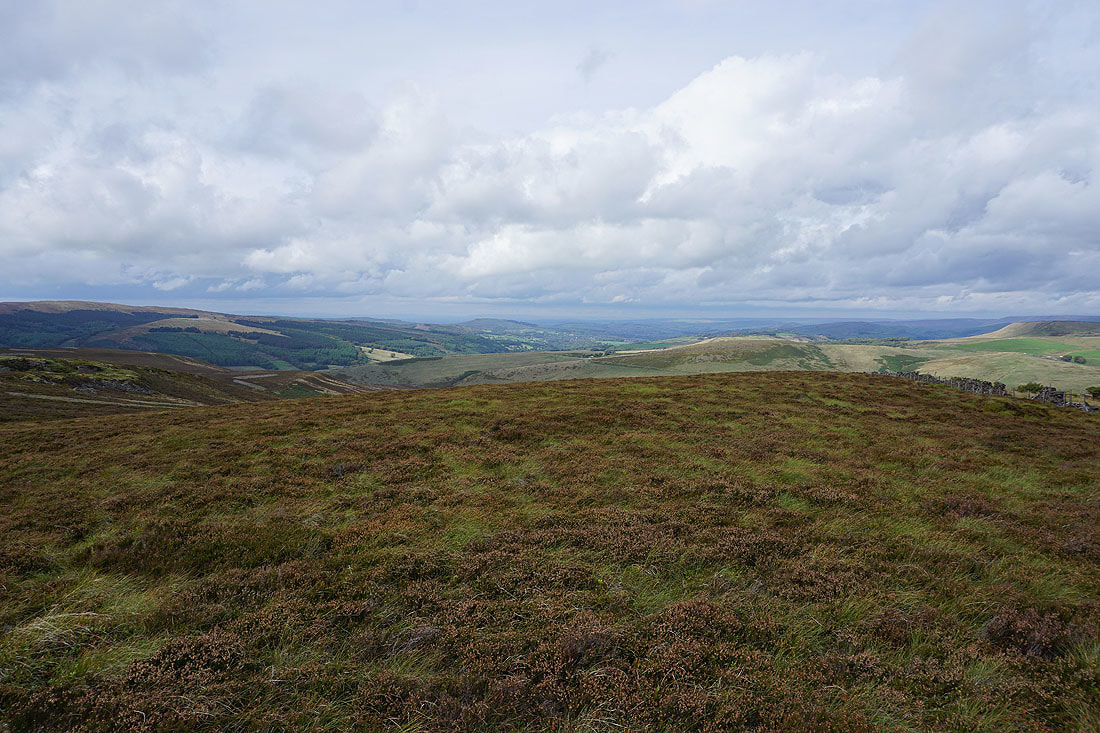
Looking south to Axe Edge Moor
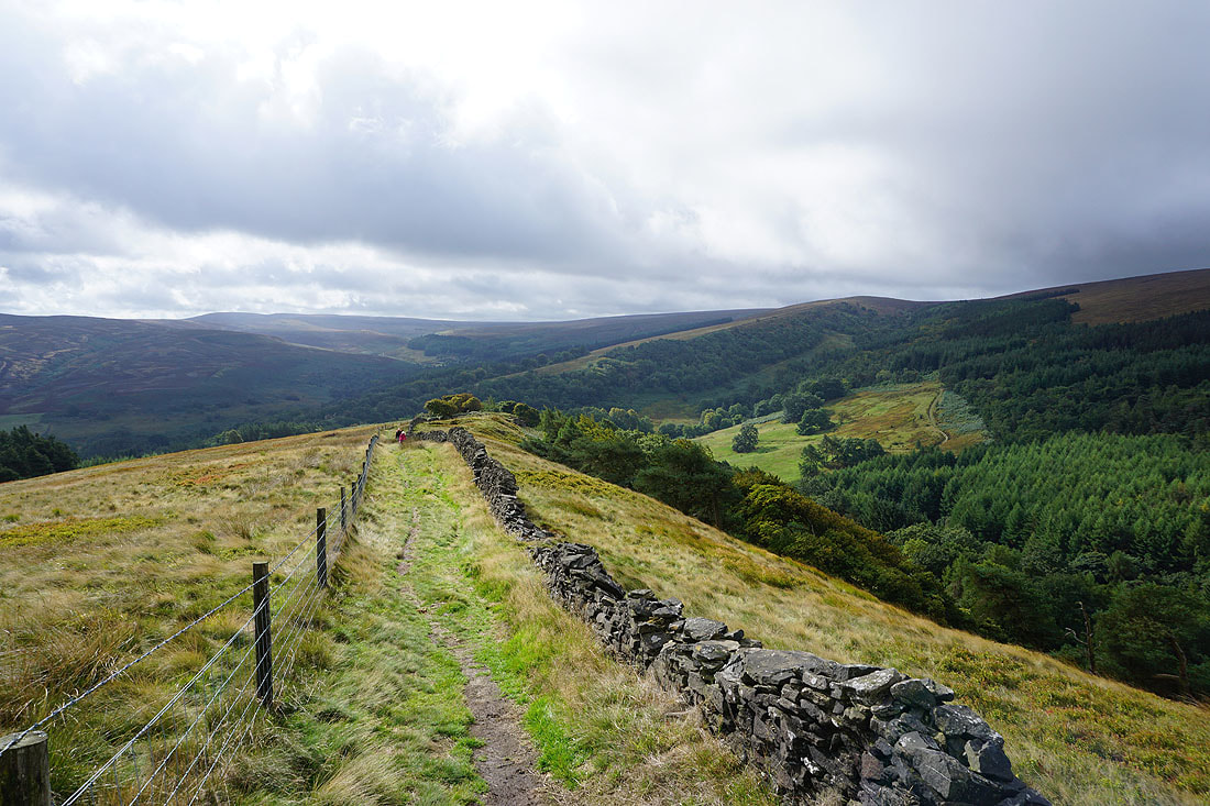
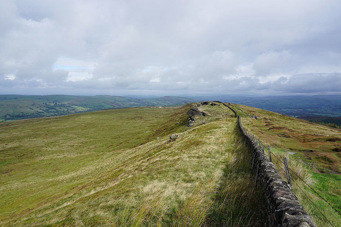
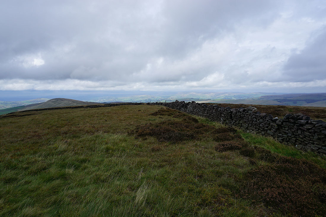
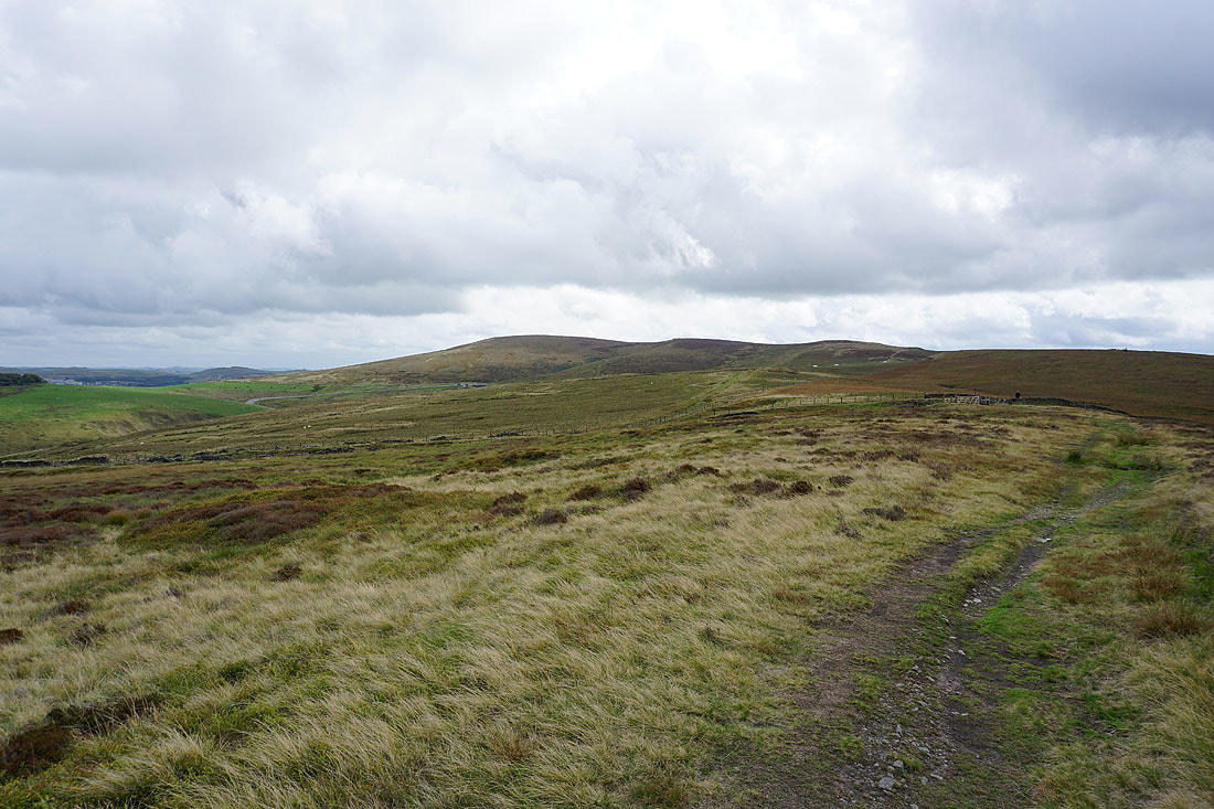
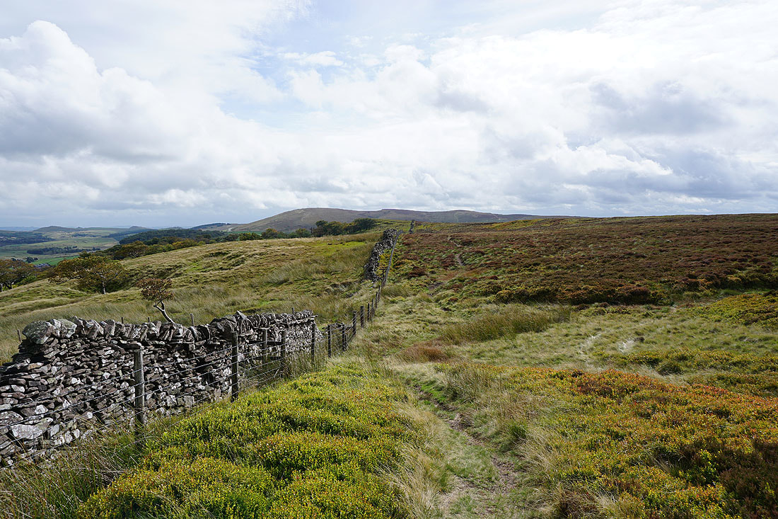
Heading north along Burbage Edge
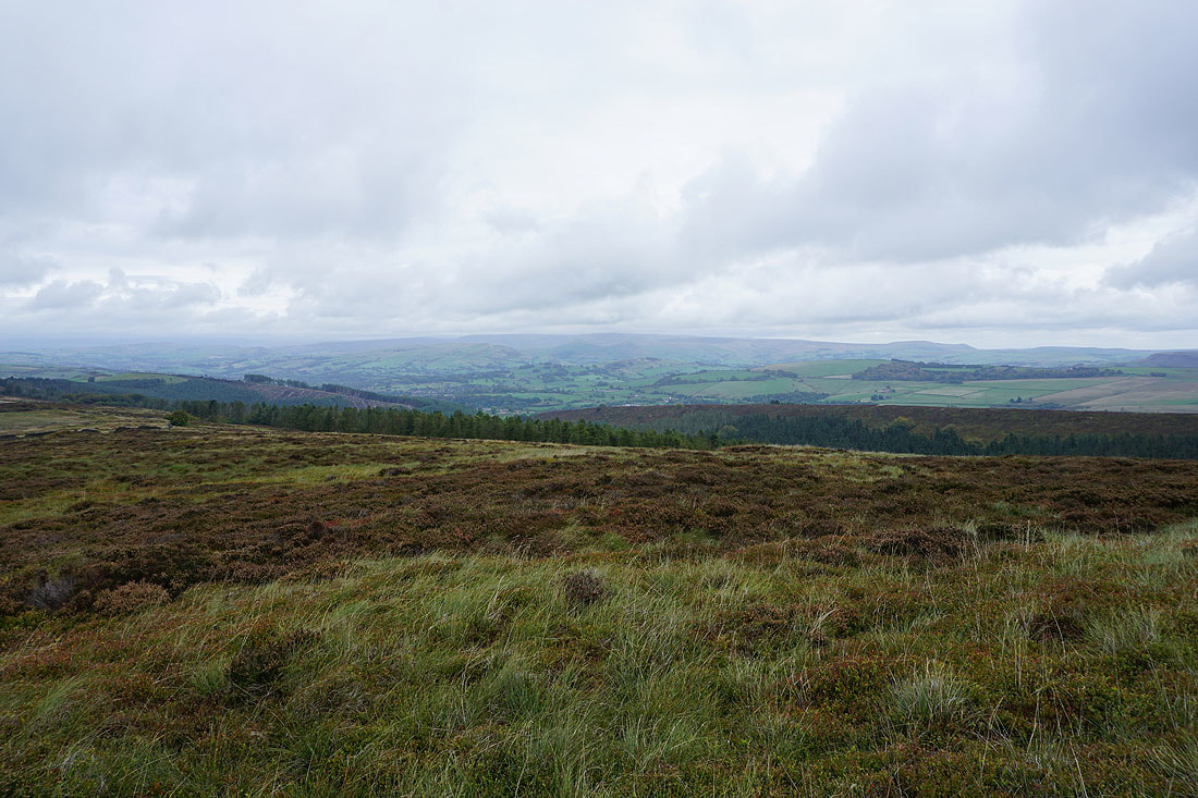
Combs Moss and Black Edge nearby
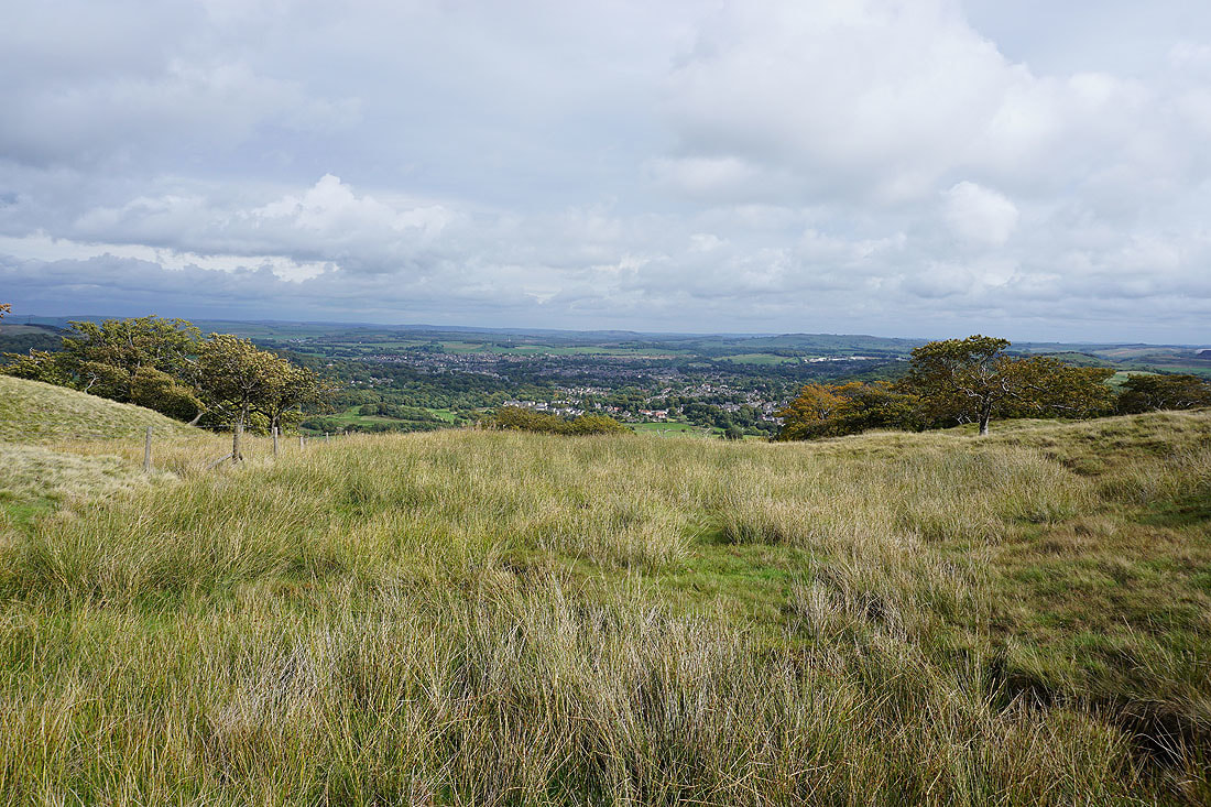
and the town of Buxton below
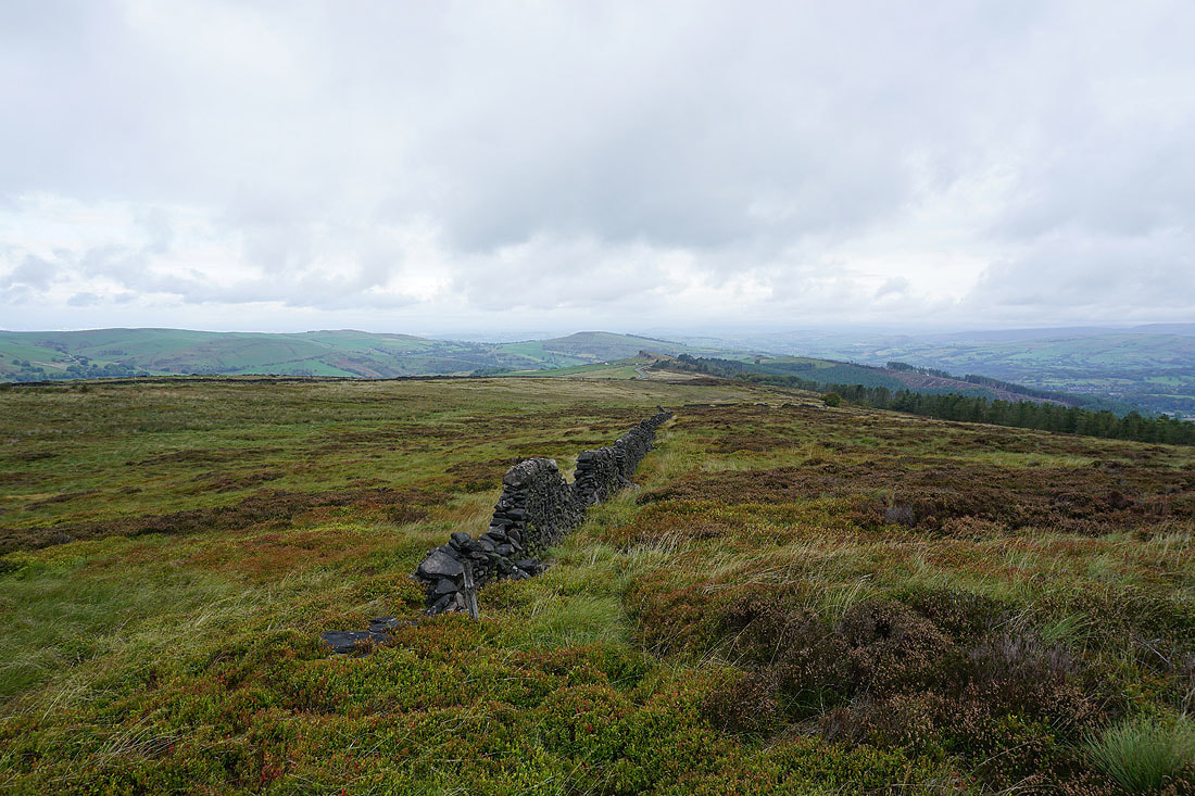
Looking south towards Axe Edge Moor
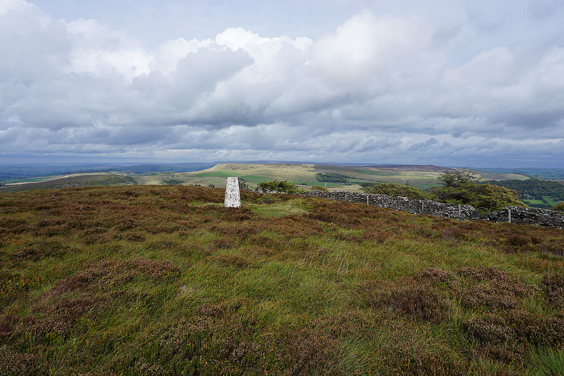
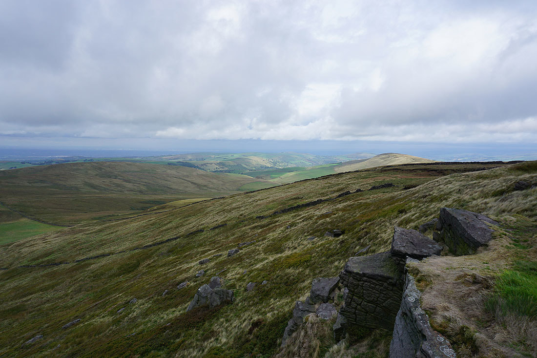
At the trig point at the northern end of Burbage Edge
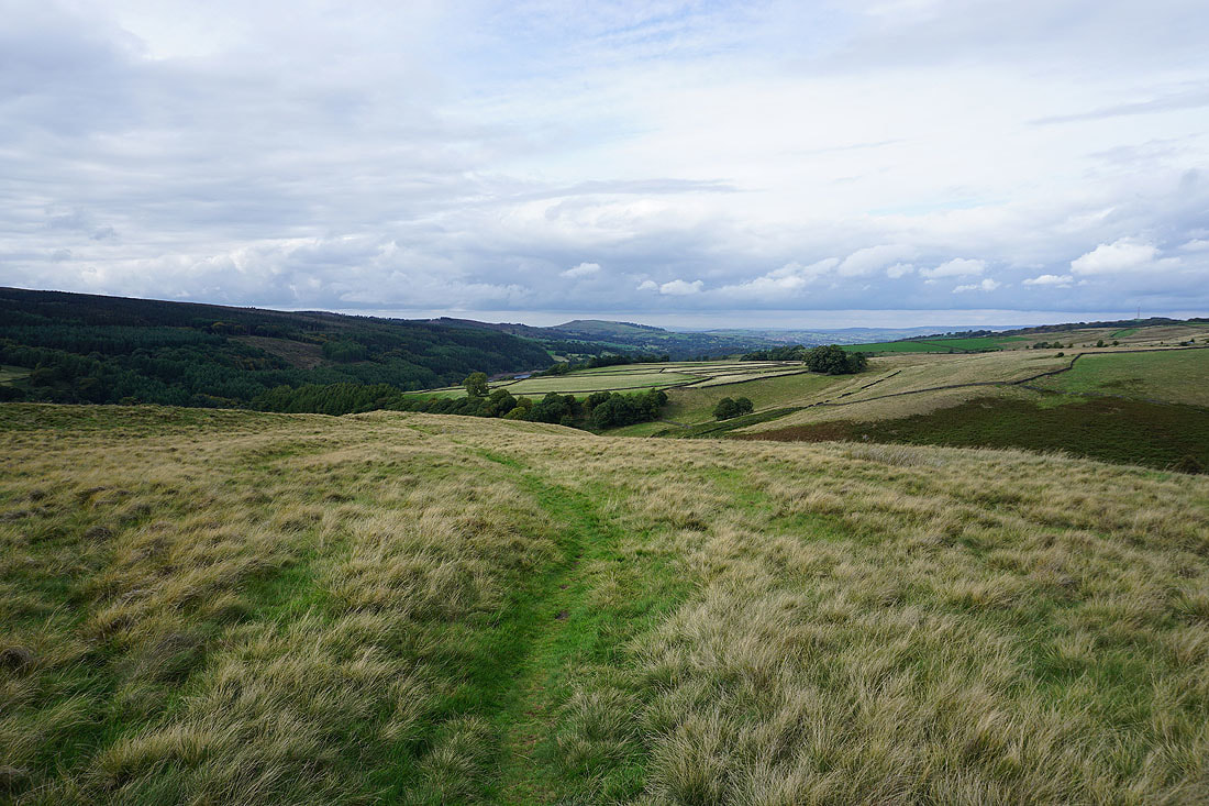
Looking down the Vale of Goyt to a distant Whaley Moor
Combs Moss and Black Edge with the dark outline of Kinder Scout way in the distance
Axe Edge Moor from Burbage Edge

Combs Moss as I head north off Burbage Edge..
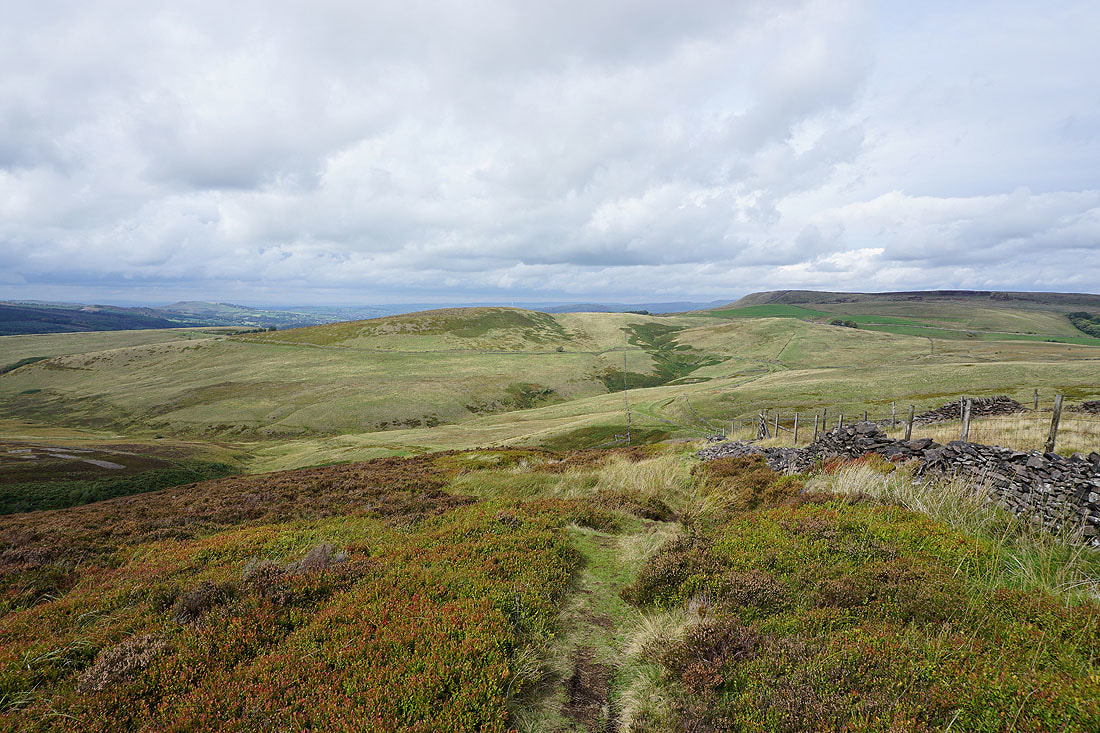
..and down into the valley of Wildmoorstone Brook
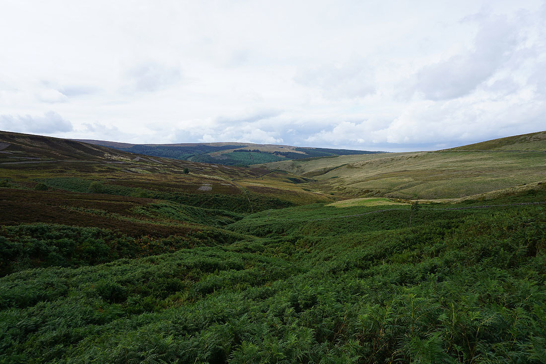
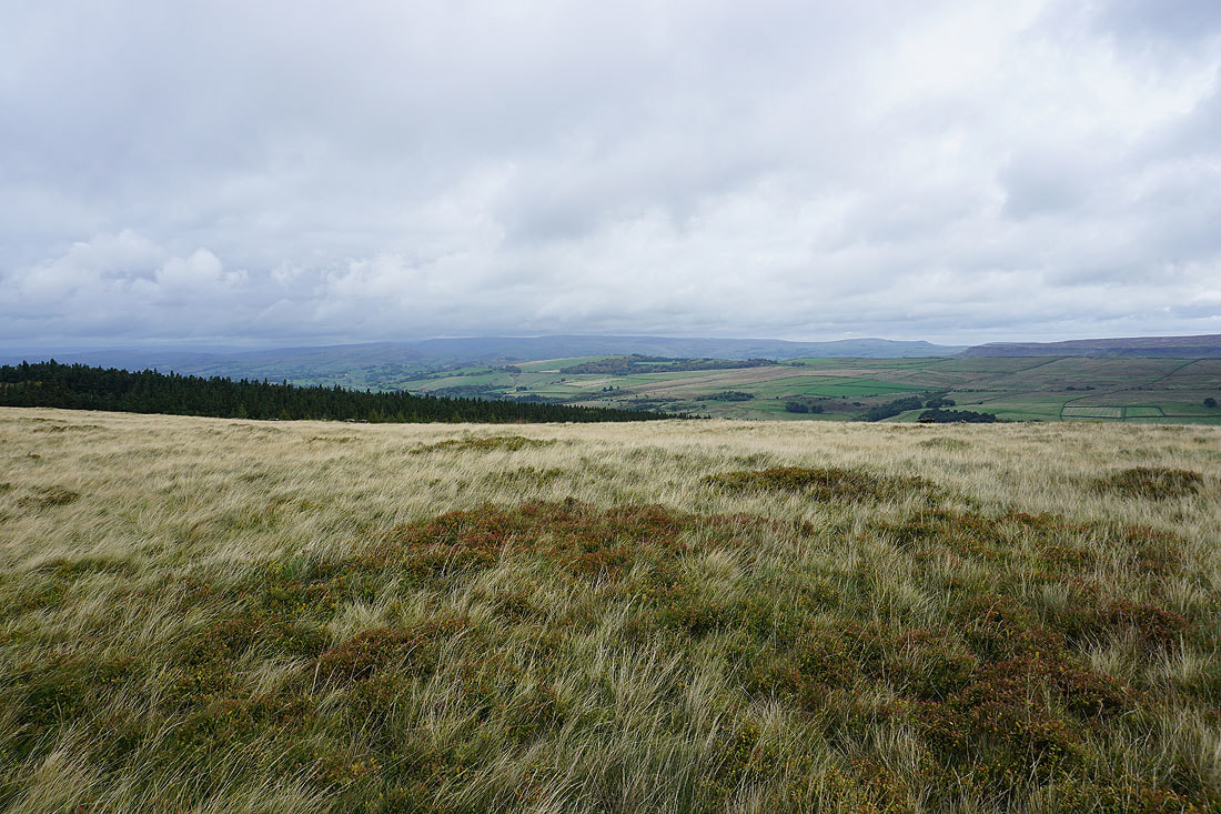
Wild Moor
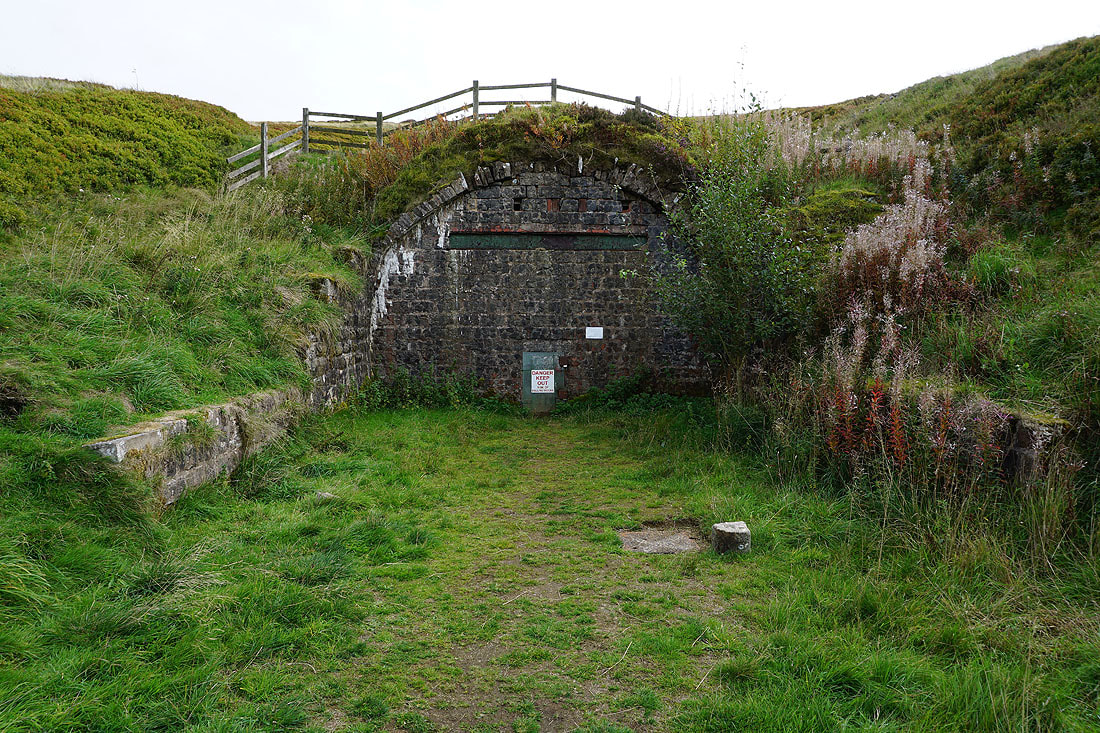
I end up at the bricked-up entrance to the tunnel of a dismantled railway
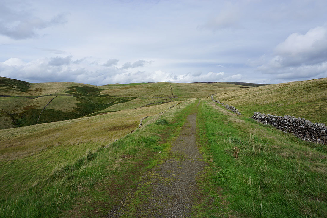
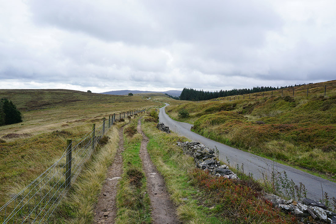
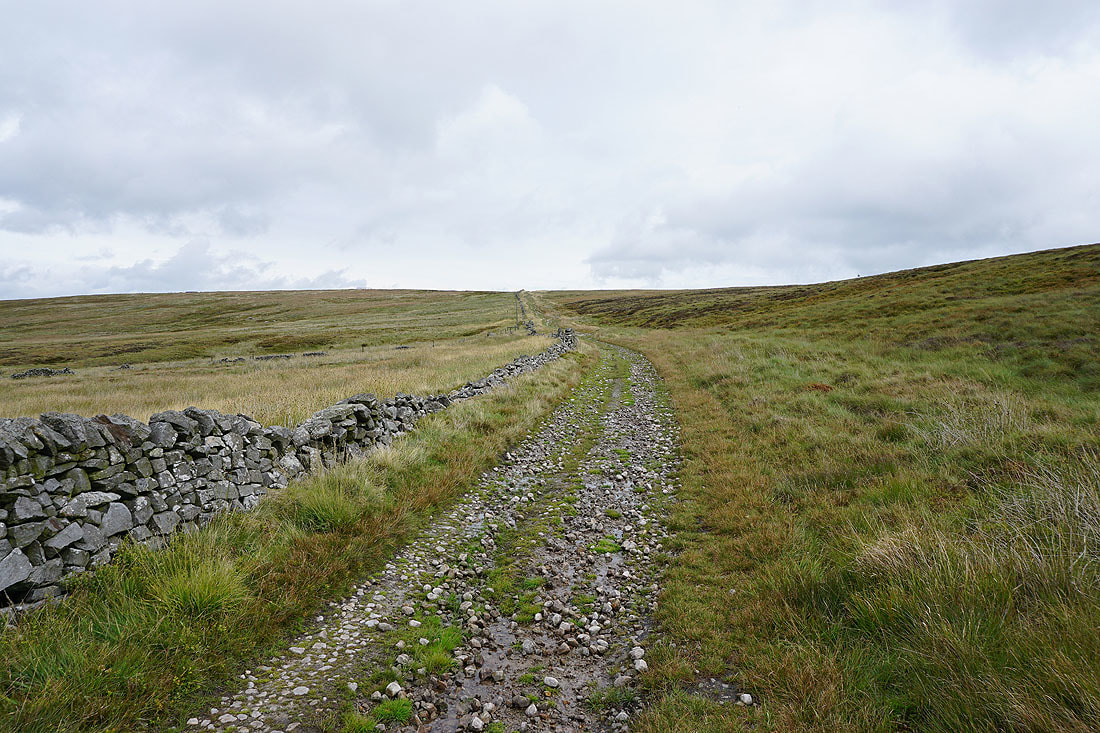
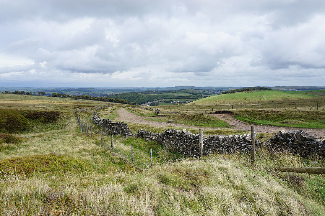
I follow the trackbed north along the side of the hill towards Goyt's Lane
Looking across Wildmoorstone Brook to Burbage Edge
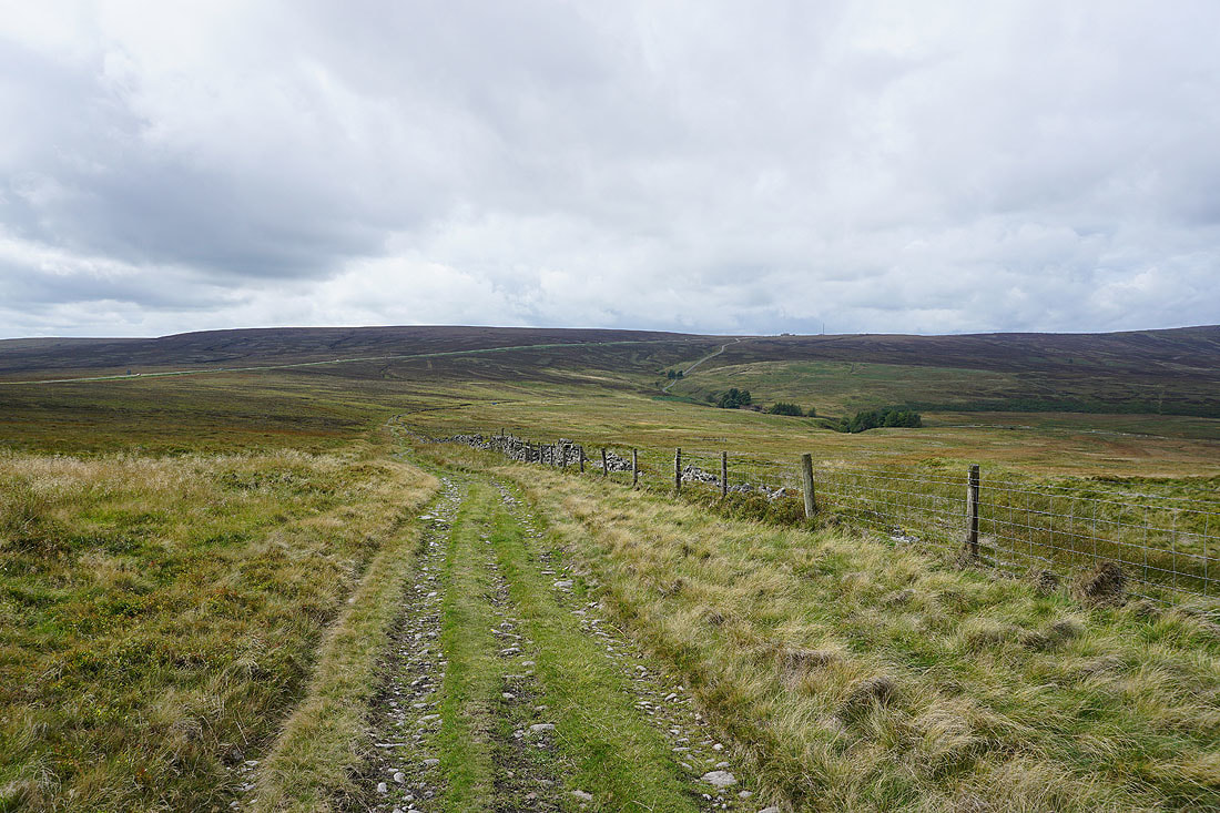
and back along the track
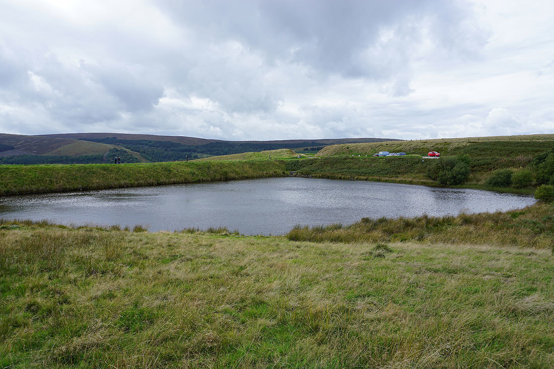
Next to the reservoir by Goyt's Lane
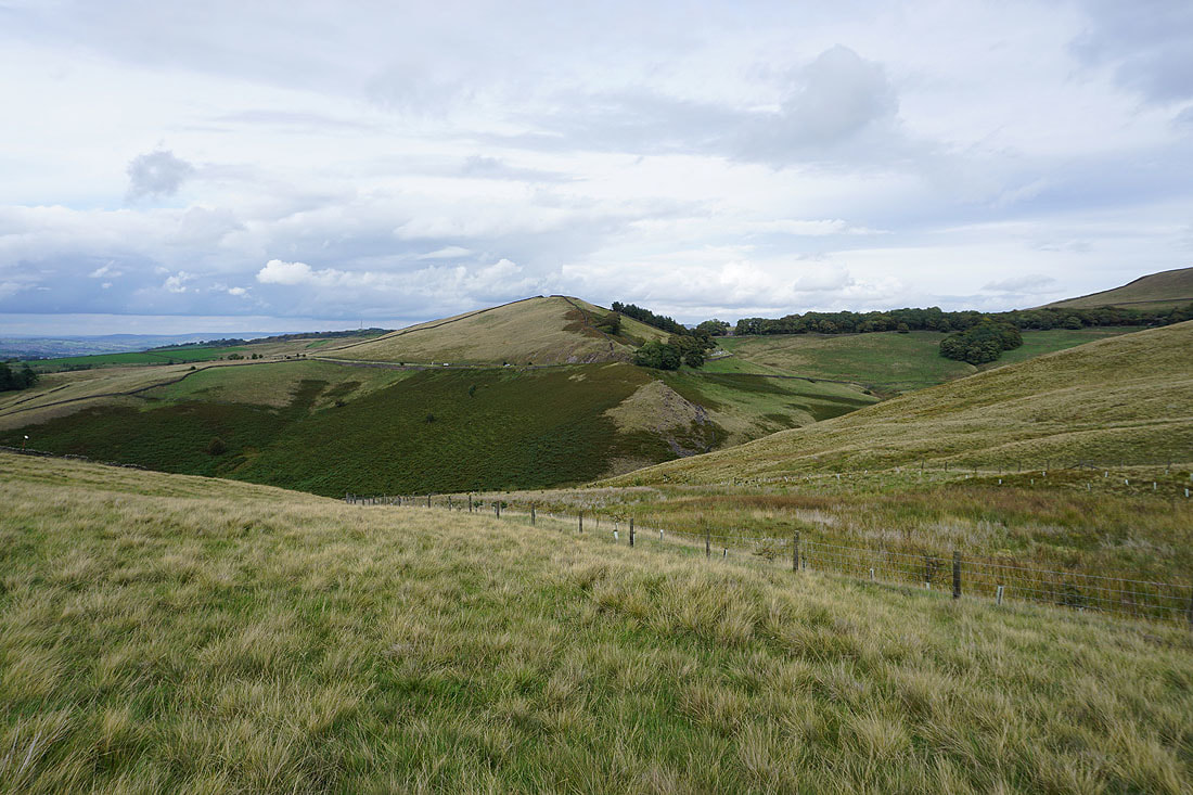
Finally, the hill of Rake End..
..as I follow the footpath down to the car park at the bottom of Goyt's Lane