15th September 2021 - Widdop and Boulsworth Hill
Walk Details
Distance walked: 11.0 miles
Total ascent: 2059 ft
OS map used: OL21 - South Pennines
Time taken: 7 hrs
Route description: Lower Coldwell Reservoir-Pendle Way-Pennine Bridleway-Thursden-Pennine Bridleway-Rieve Edge-Pennine Bridleway-Gorple Gate-Cludders Slack-Widdop Reservoir-Pennine Bridleway-Widdop Lodge-The Scout-Grey Stone Hill-Dove Stones-Boulsworth Hill-Pennine Bridleway-Pendle Way-Lower Coldwell Reservoir
I've booked the week off work, and since there's some fine weather forecast for the next few days I'm going to make the most of it and head out and do some hiking, starting with today. I decided to stay local and in the South Pennines for today's route, with a repeat of a walk that I did back on the 1st May. It wasn't exactly the same though, I went the other way round, leaving reaching the summit of Boulsworth Hill until near the end of the walk when I hoped that the weather would be at its best, which it was. This was the third time that I'd done this route, and it has to be one of my favourites in the South Pennines. Widdop Reservoir, set in a bowl in the hills and surrounded by gritstone crags, has to be one of the more dramatic locations that can be visited in the South Pennines, and I enjoyed some lovely early autumn weather for taking it in. After a rather grey start with low cloud on the tops of the hills, it lifted and broke during the morning, so that I had sunny spells and good visibility for enjoying the views and the moorland colours through the afternoon.
After parking on the roadside by Lower Coldwell Reservoir I took the trail of the Pendle Way and followed it east until it met the Pennine Bridleway. I then turned right and followed the Pennine Bridleway south until I reached the road down into the Thursden Valley, which I took down to a left hand bend where the Pennine Bridleway then went down through woodland to the road at the bottom of the Thursden Valley. After turning left I walked up the road to a junction where the Pennine Bridleway leaves as a track on the right, which I took (after a visit to Rieve Edge) and followed south across Extwistle Moor to the track of Gorple Road, where I turned left and followed this east up and over the moor to above Widdop Reservoir (stopping for lunch at Shuttleworth Rocks on Shuttleworth Moor). I left the track here for a thin path along the top of the gritstone edge of Cludders Slack, before heading down to join the track again to cross the dam of Widdop Reservoir to reach the Widdop Road. After a short walk up the road to Widdop Lodge I left it for access land on the right and a path up to the southern end of the gritstone edge of The Scout. A path up the edge took me to the top of Grey Stone Hill. I then made my way across Widdop Moor to Dove Stones and from there up to the summit of Boulsworth Hill. From Boulsworth Hill I descended by the path past the Abbot Stone to the Pennine Bridleway below, where I turned left and followed it west across Will Moor until I reached the Pendle Way, which I took to reach the road by Lower Coldwell Reservoir and where I was parked.
Route map
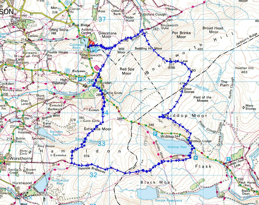
© Crown copyright. All rights reserved. License number PU 100034184.
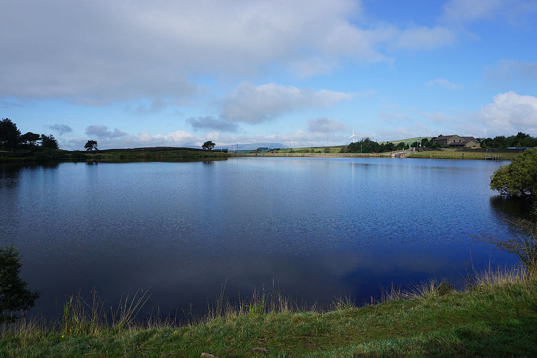
Pendle Hill in the distance as I set off from beside Lower Coldwell Reservoir
Looking back to Lower Coldwell Reservoir and Pendle Hill from the Pendle Way
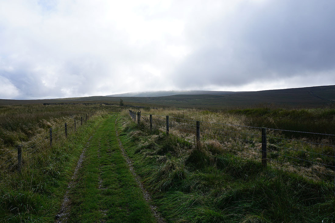
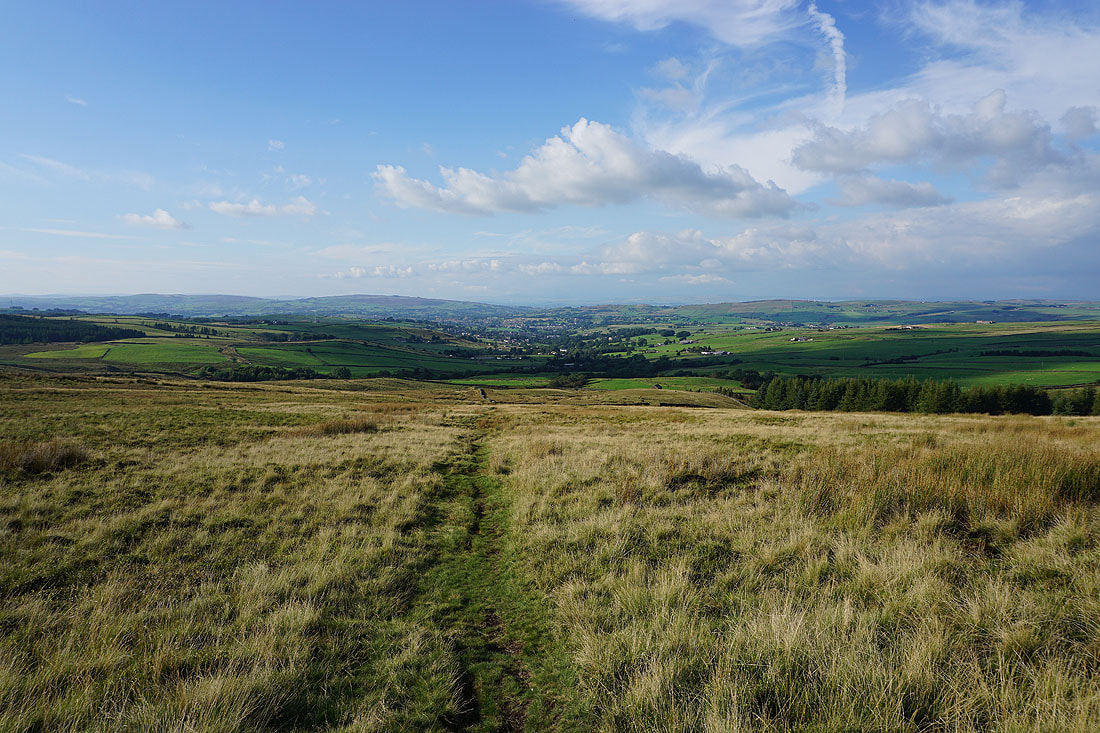
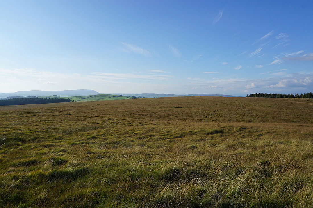
Ahead of me the top of Boulsworth Hill is in cloud. It should soon clear.
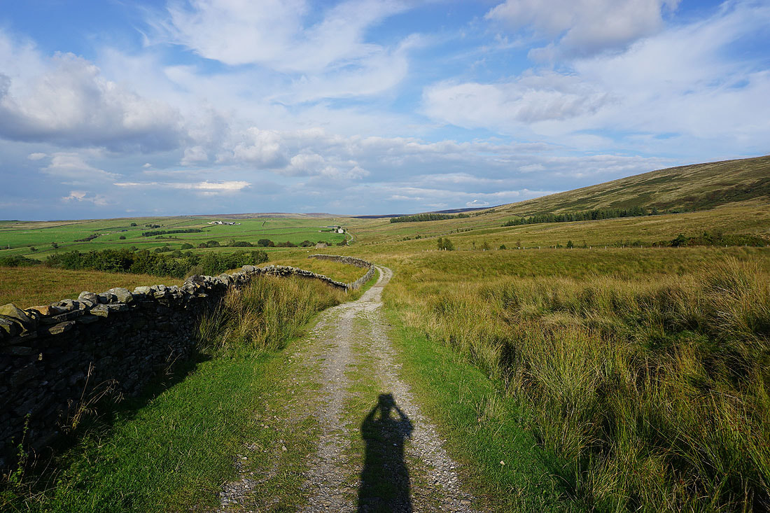
Following the Pennine Bridleway south to the Thursden Valley
The road across the moors to Widdop and Heptonstall as I head up onto Rieve Edge
Pendle Hill and the Thursden Valley from Rieve Edge
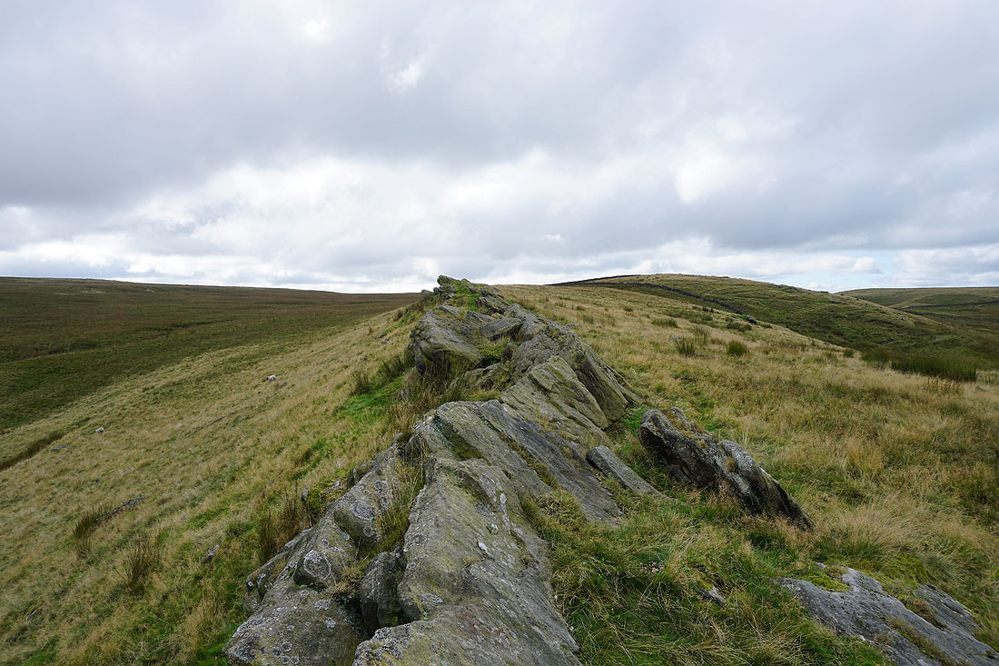
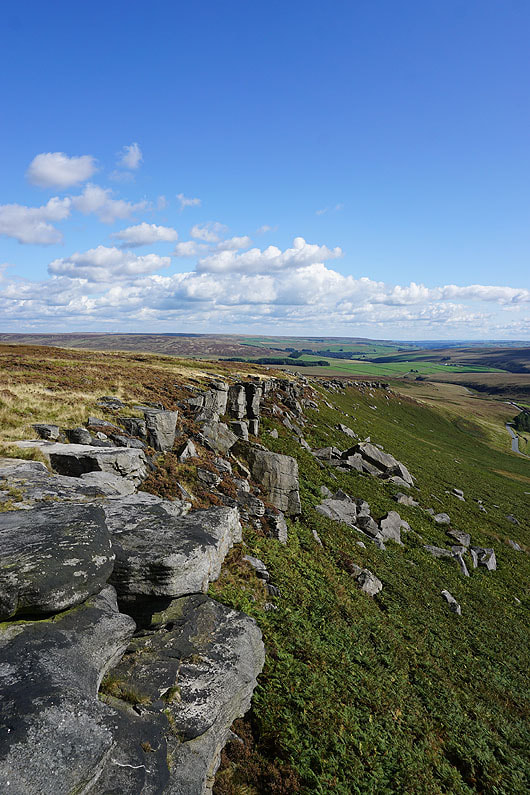
The exposed gritstone of Rieve Edge
Higher up Rieve Edge and the view expands to include the Yorkshire Dales in the distance on the right
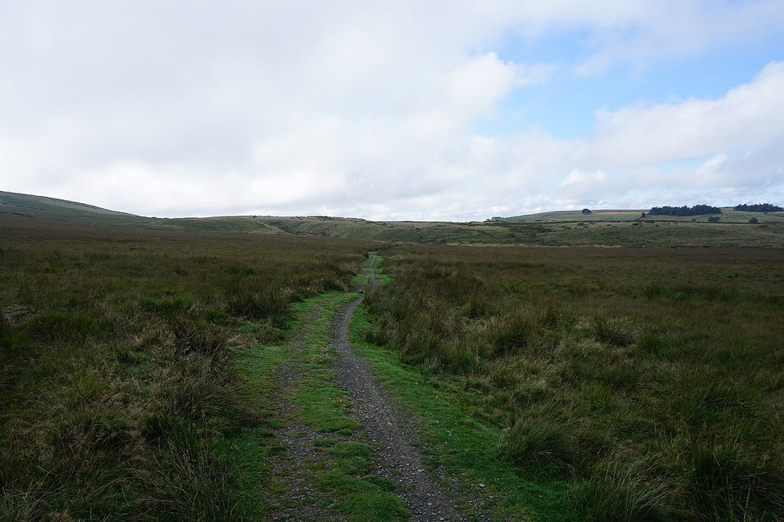
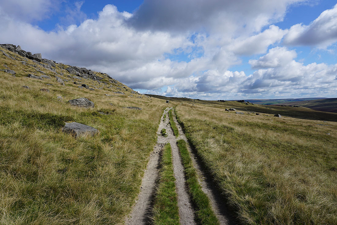
Back onto the Pennine Bridleway
Pendle Hill and Weets Hill in the distance from Extwistle Moor
Following the Pennine Bridleway down into the valley of Swinden Water..
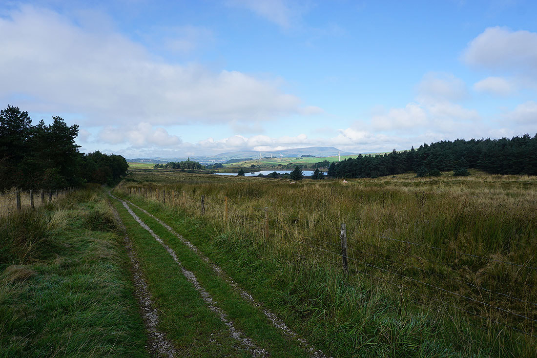
Swinden Reservoir and Pendle Hill
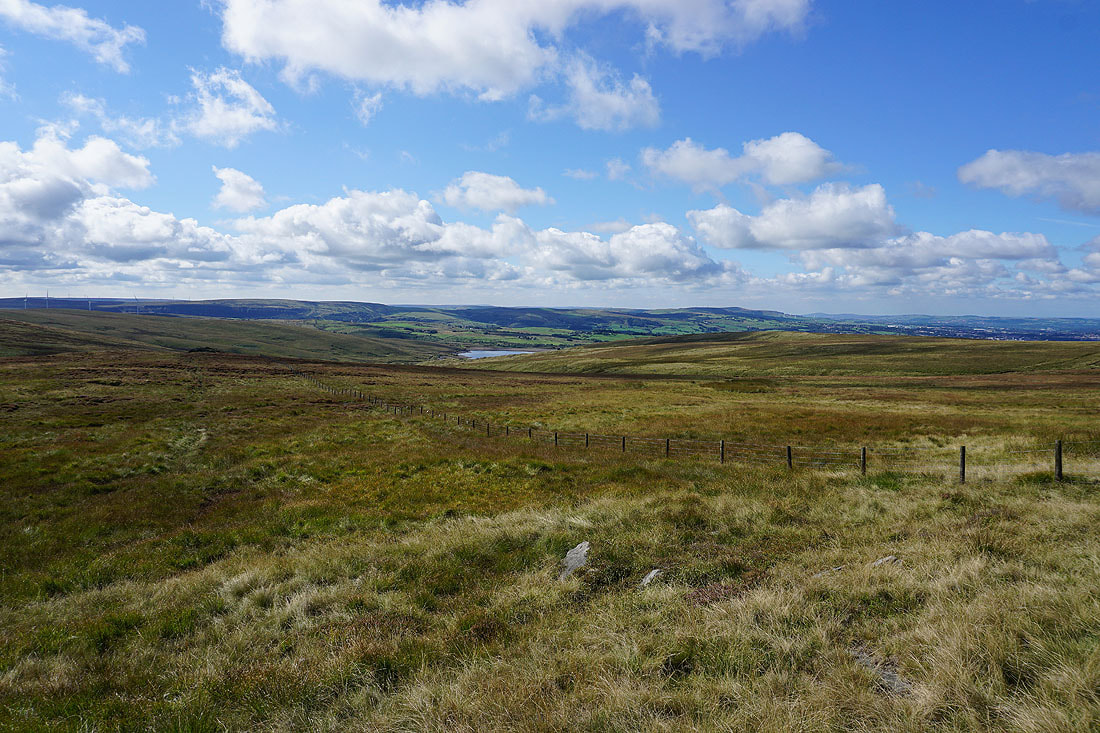
Hurstwood Reservoir and the moors around Cliviger as I reach the track of Gorple Road
I stay on the Pennine Bridleway as I join the track of Gorple Road
Looking back down Gorple Road towards Burnley
Following the track uphill..
..and looking back higher up, Pendle Hill is now in view
Thieveley Pike, Cant Clough Reservoir and Hameldon Hill as I reach the top of the track
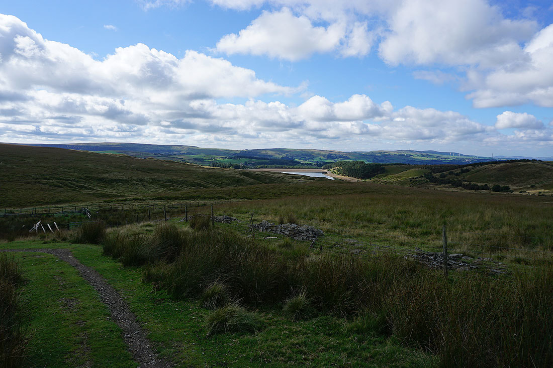
Gorple Upper Reservoir
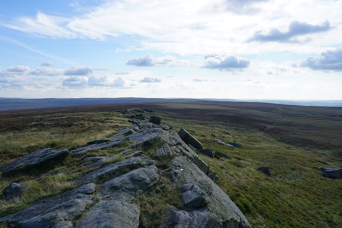
Following the Pennine Bridleway beneath Gorple Stones
Looking back to the Gorple Stones from Shuttleworth Moor
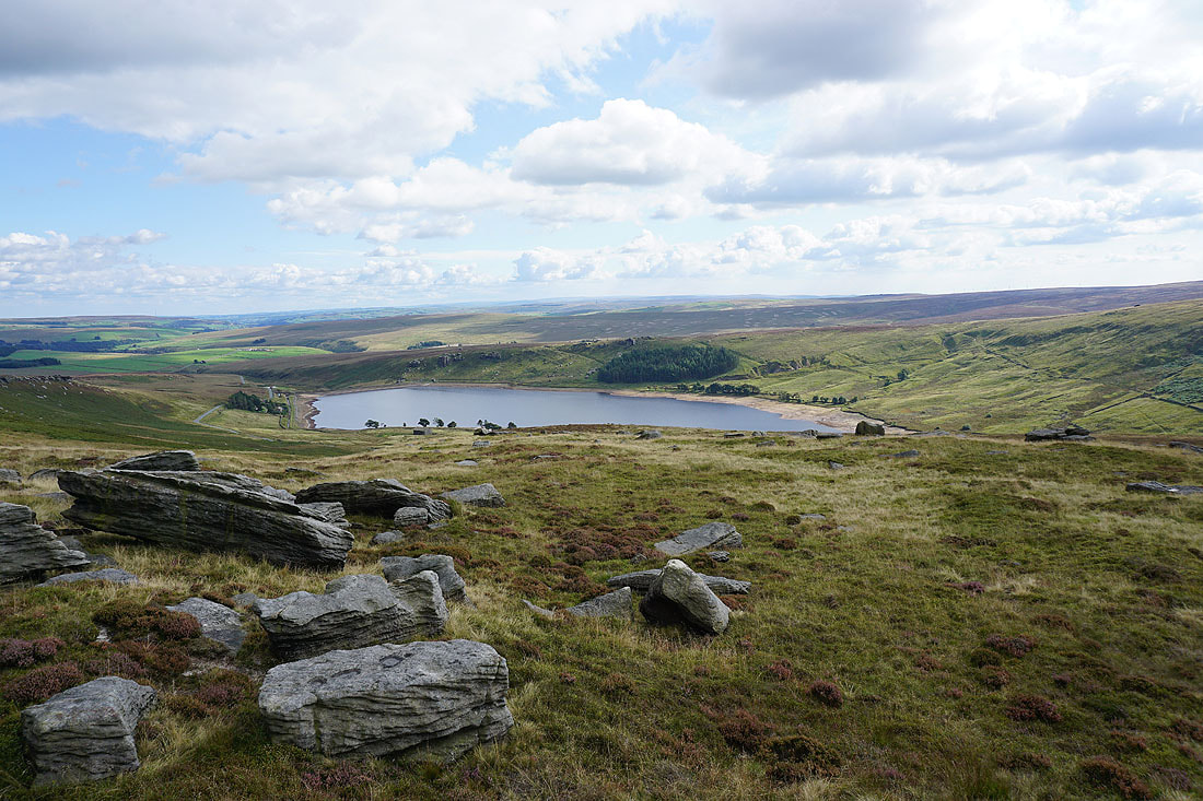
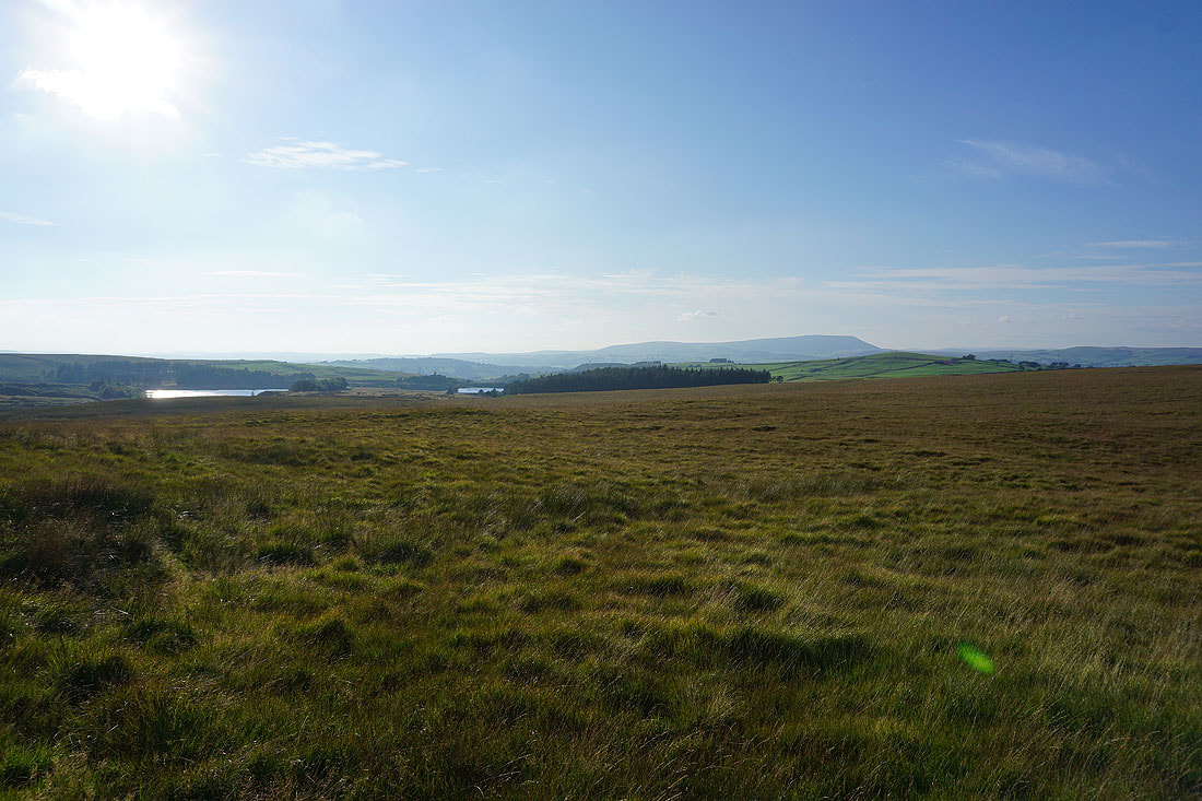
Gorple Upper Reservoir and Black Hameldon from my lunch stop on Shuttleworth Rocks
Looking east to Gorple Lower Reservoir and the moors around the top of Hebden Dale
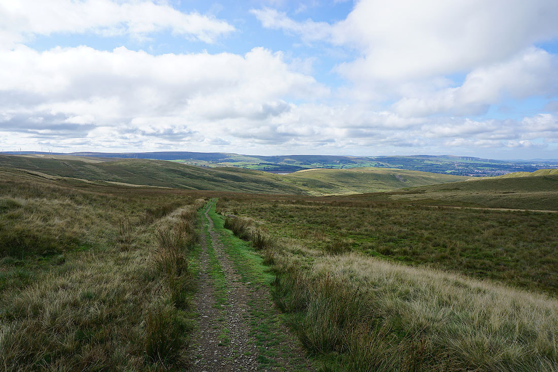
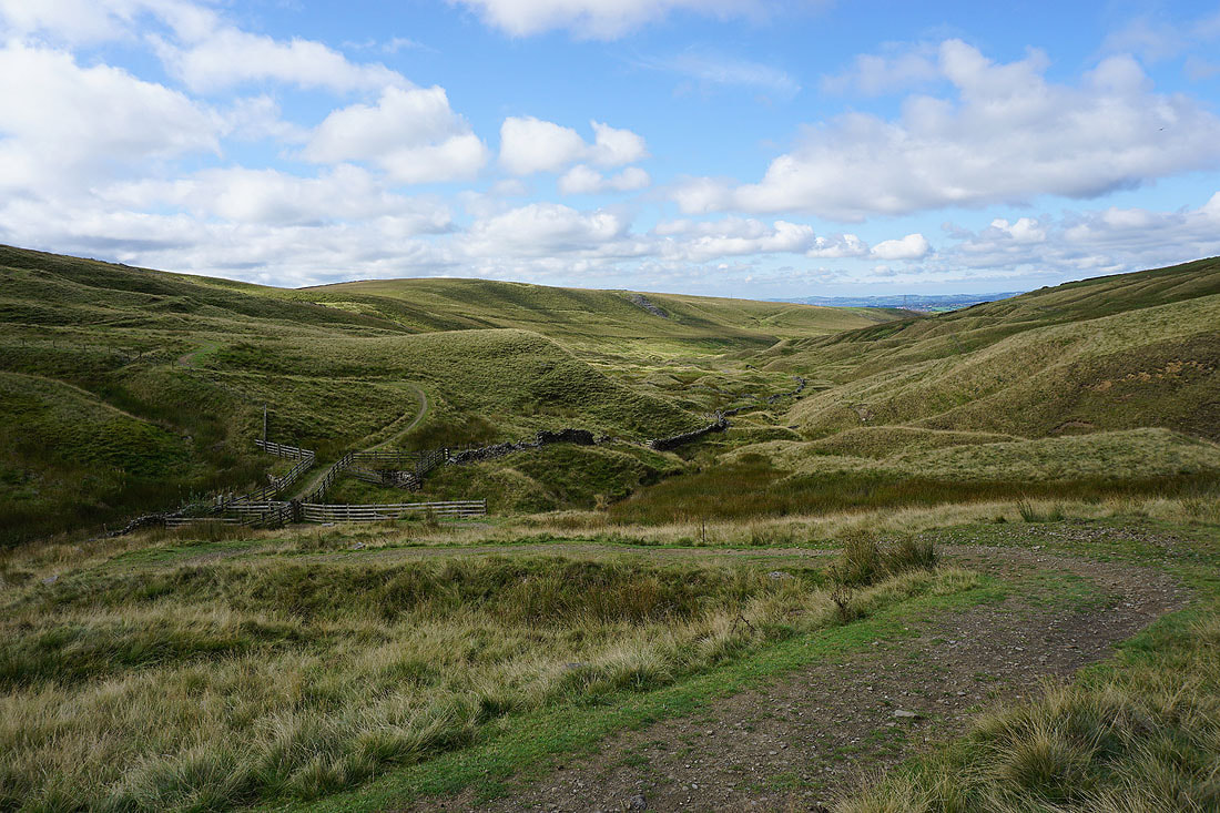
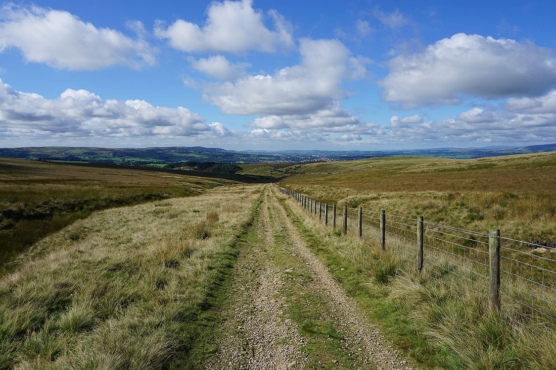
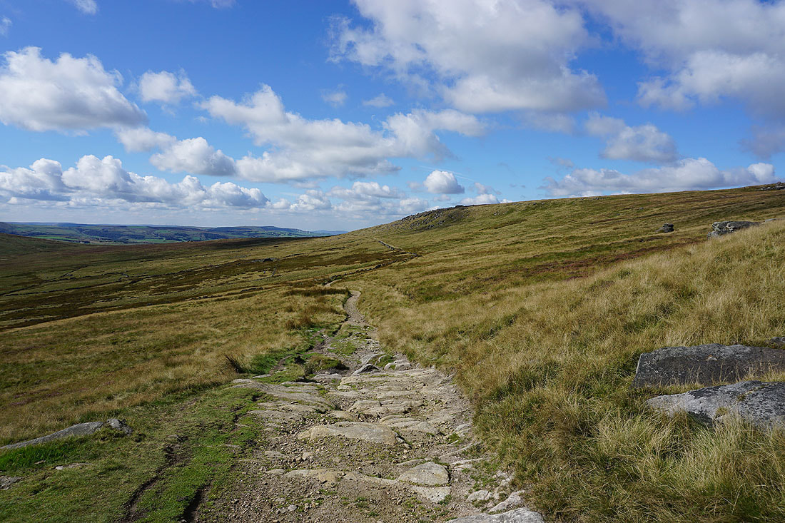
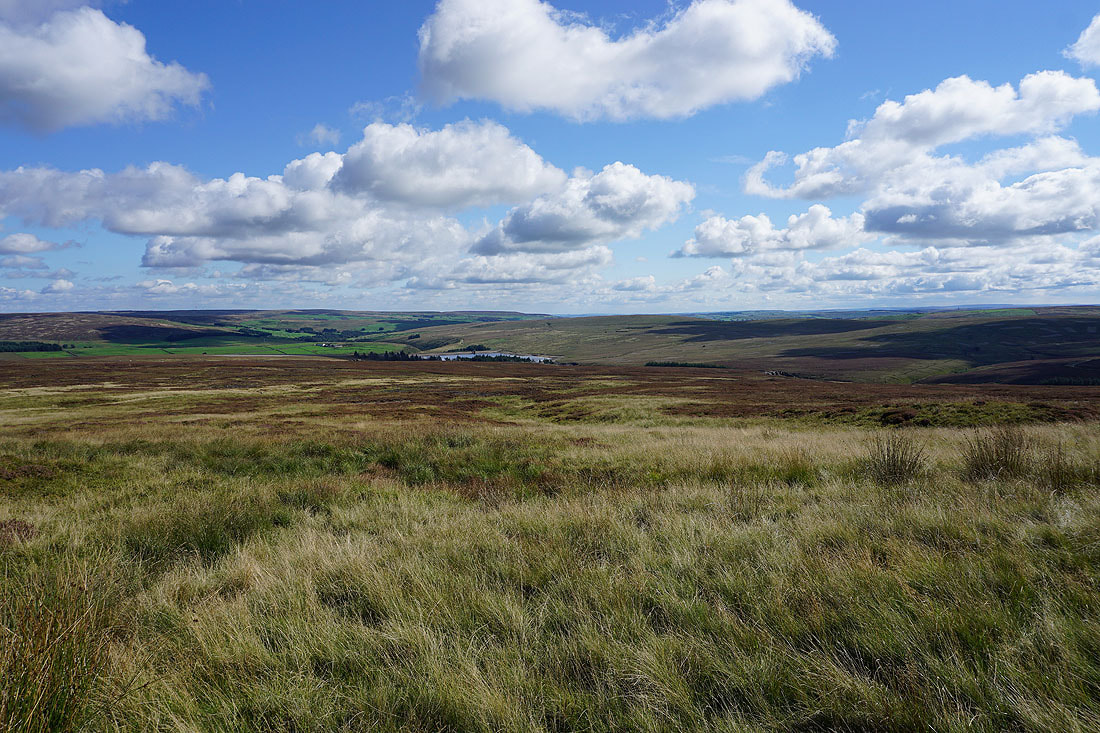
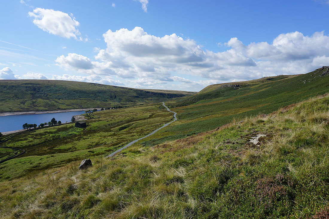
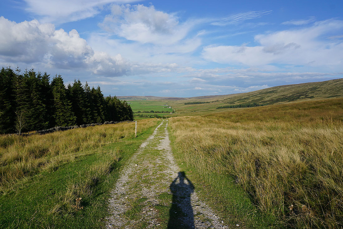
Following the Pennine Bridleway towards Widdop Reservoir
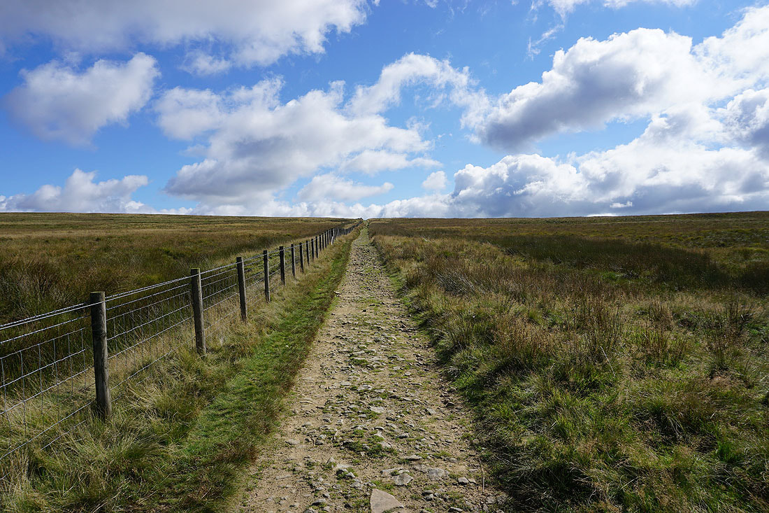
|
|
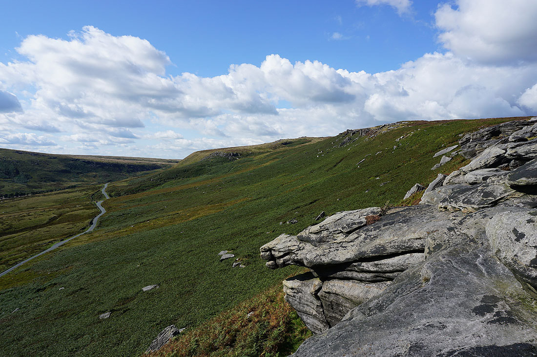
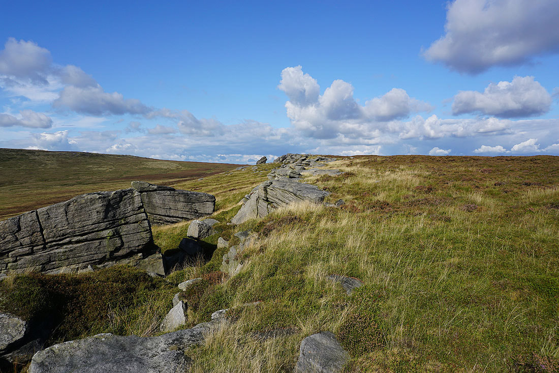
I leave the Pennine Bridleway and make my way along the top of the gritstone crags of Cludders Slack
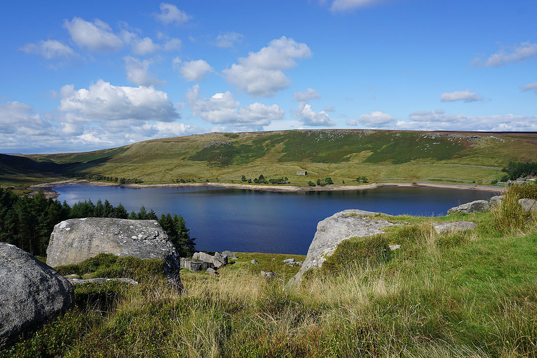
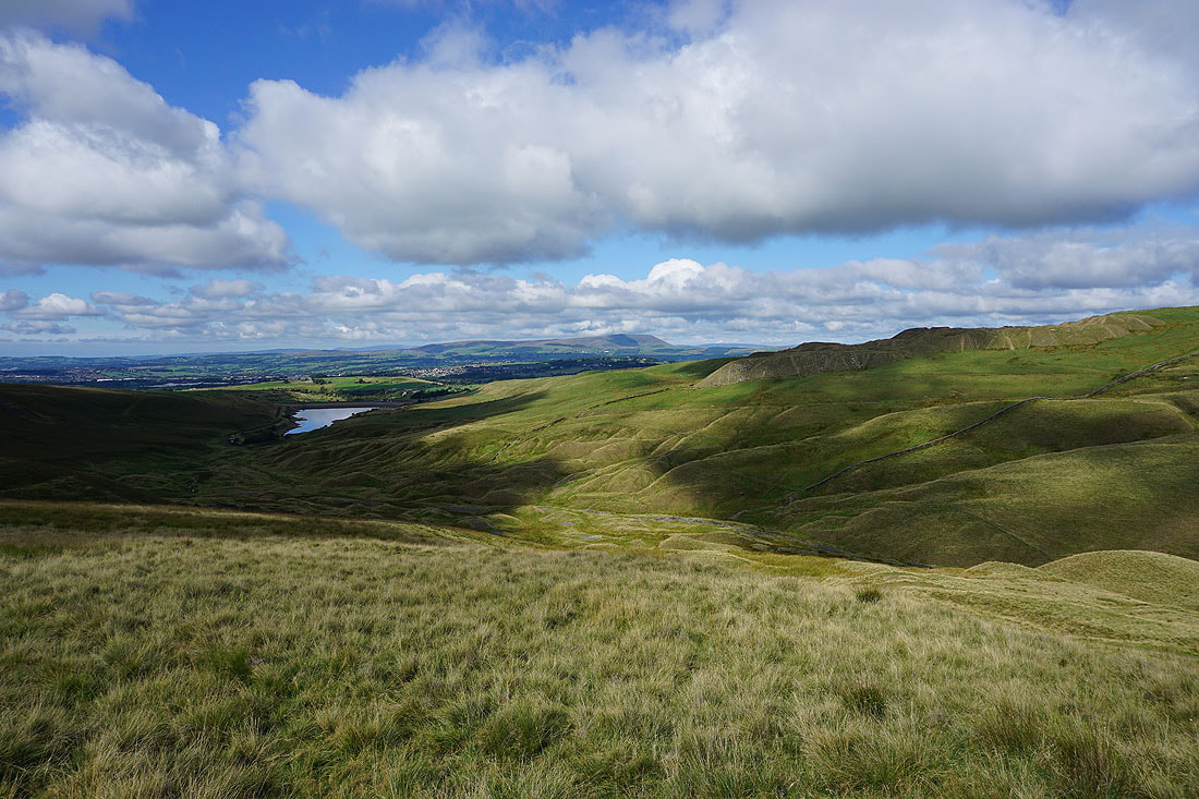
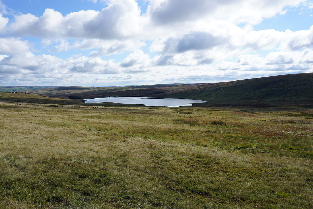
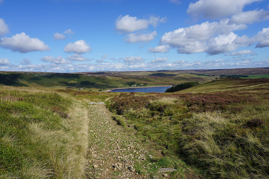
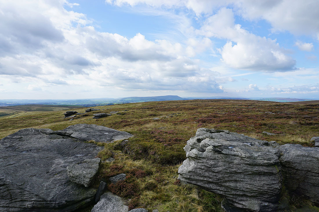
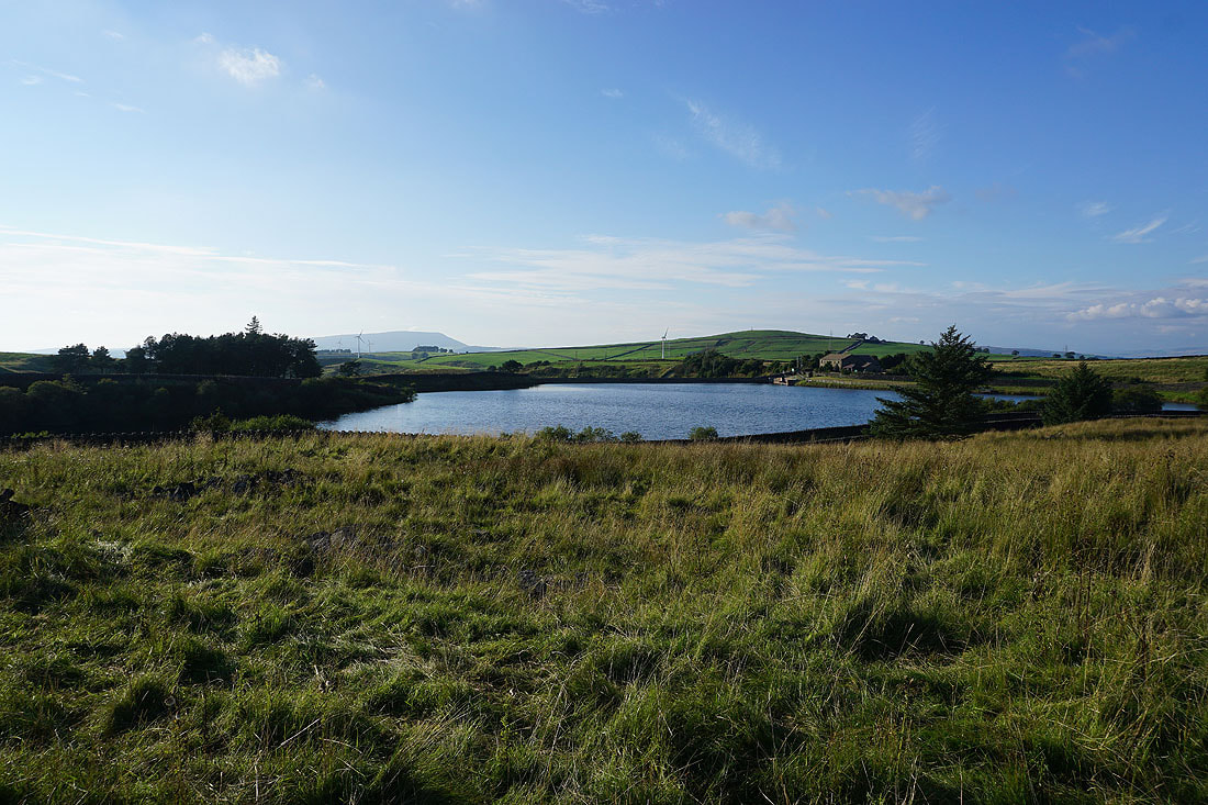
Looking across Widdop Reservoir to Grey Stone Hill and the gritstone edge of The Scout
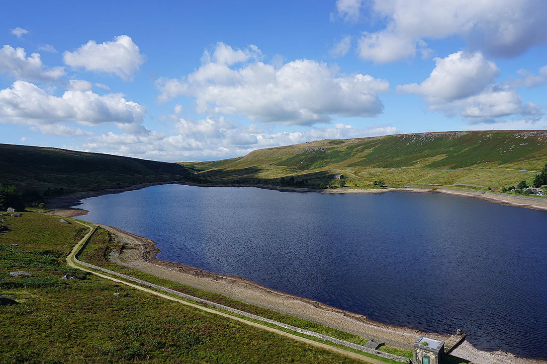
Widdop Reservoir from the eastern end of Cludders Slack
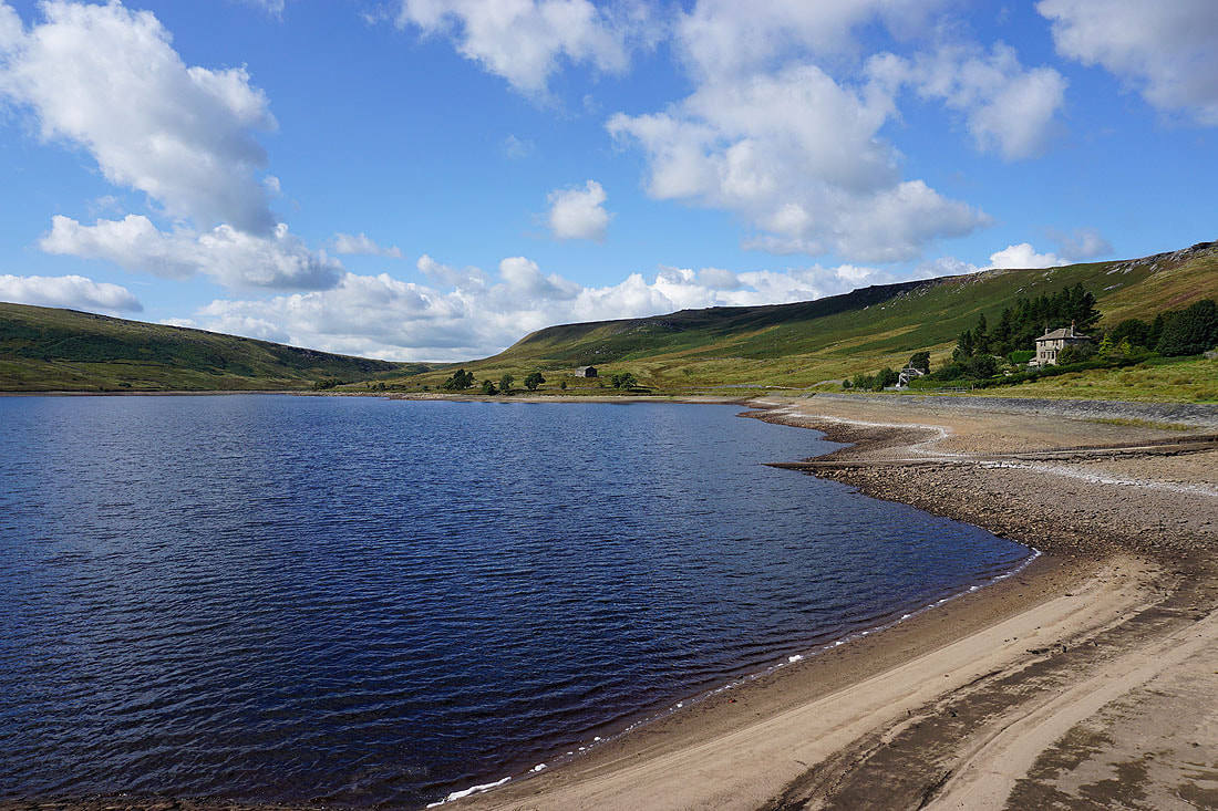
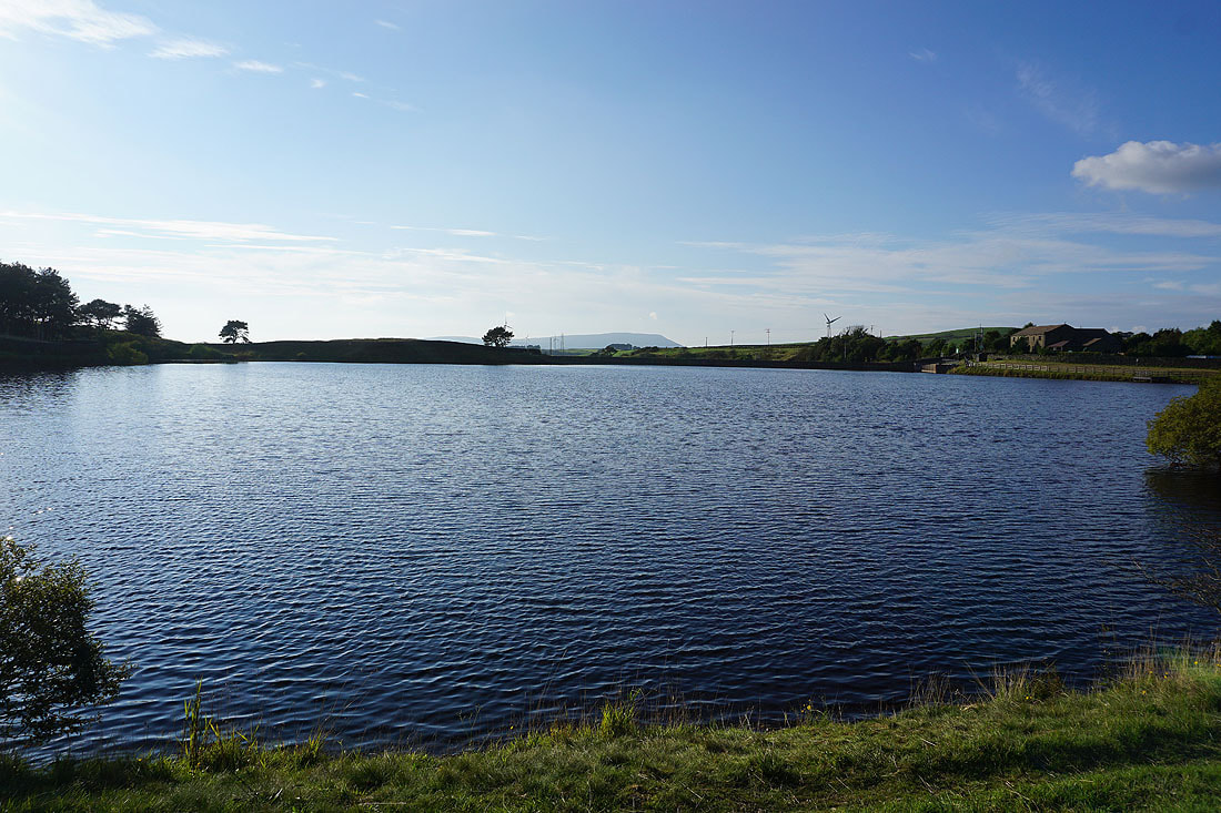
and again from its dam, with Widdop Lodge in the trees on the right
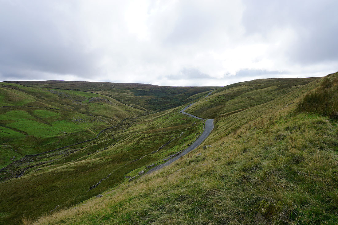
As I climb up onto the gritstone edge of The Scout the road from Heptonstall heads across the moors below
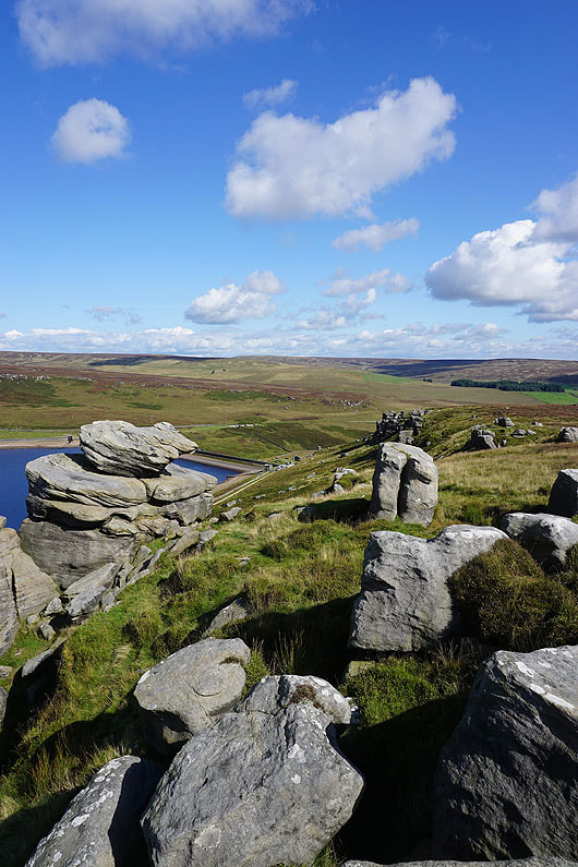
At the eastern end of The Scout
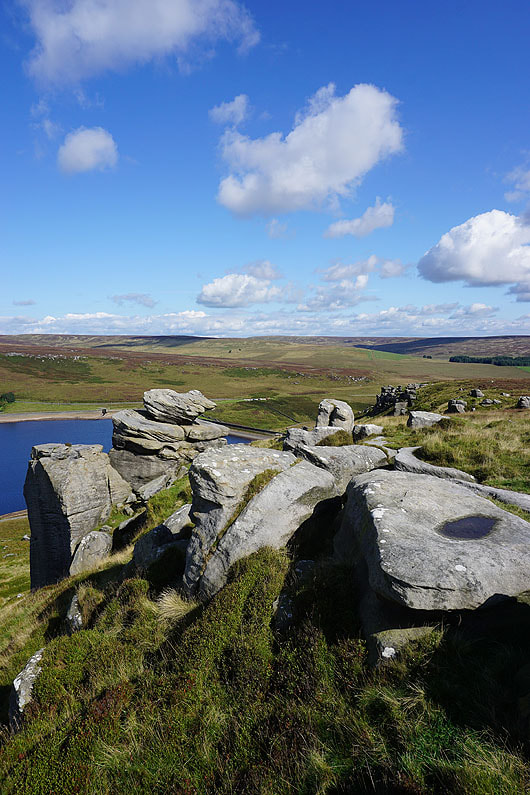
I have a great view across Widdop Reservoir
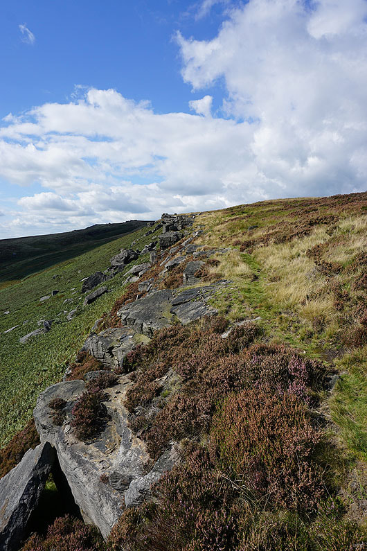
Heading up The Scout
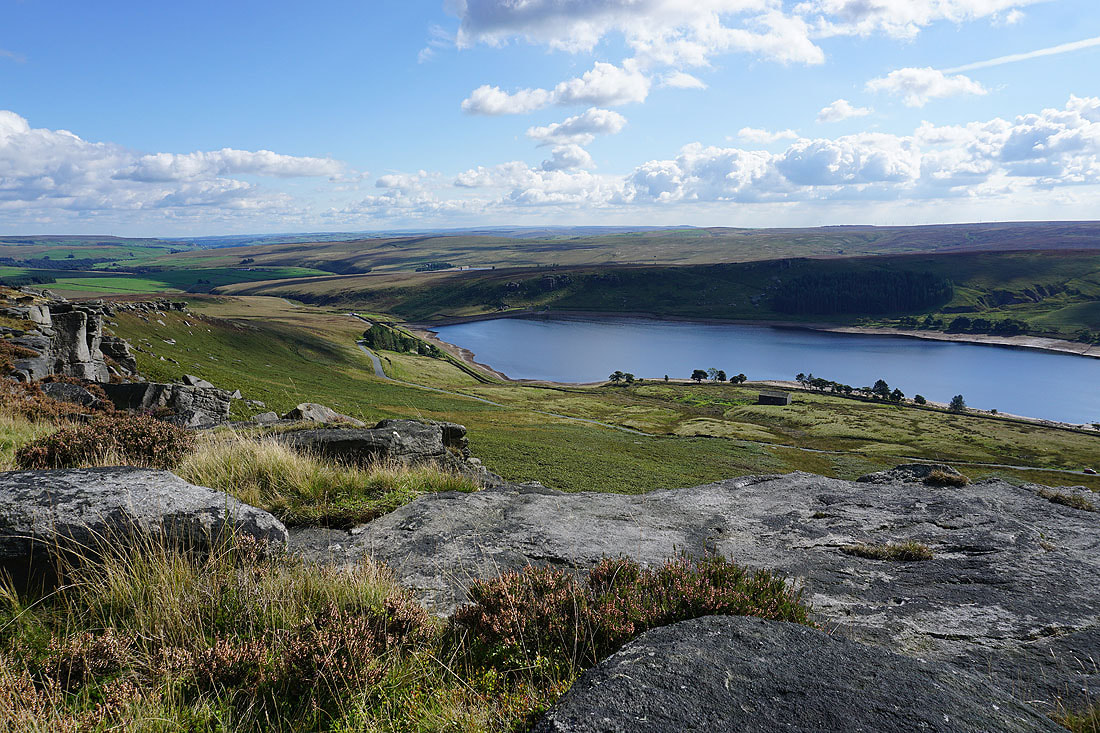
More great views of Widdop Reservoir and its surrounding moors..
Looking back down The Scout. I passed someone climbing on one of the crags.
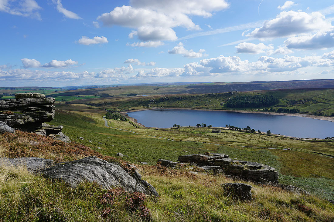
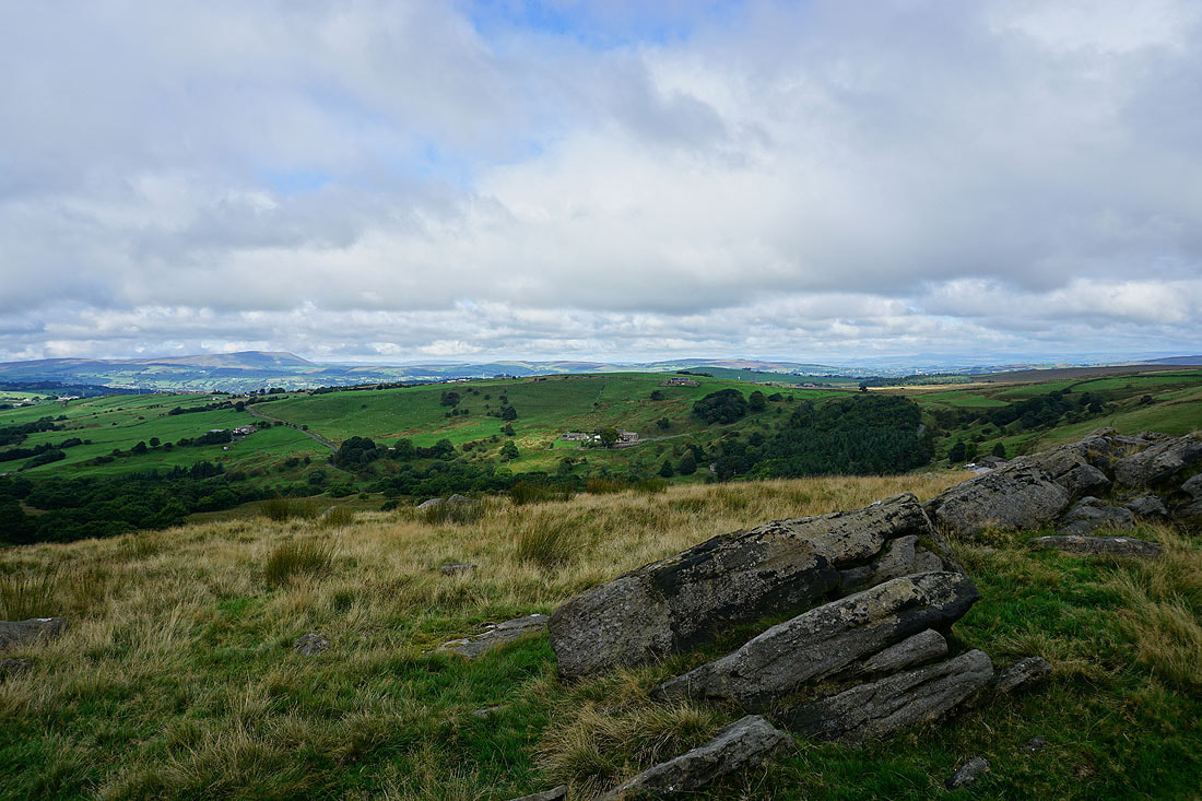
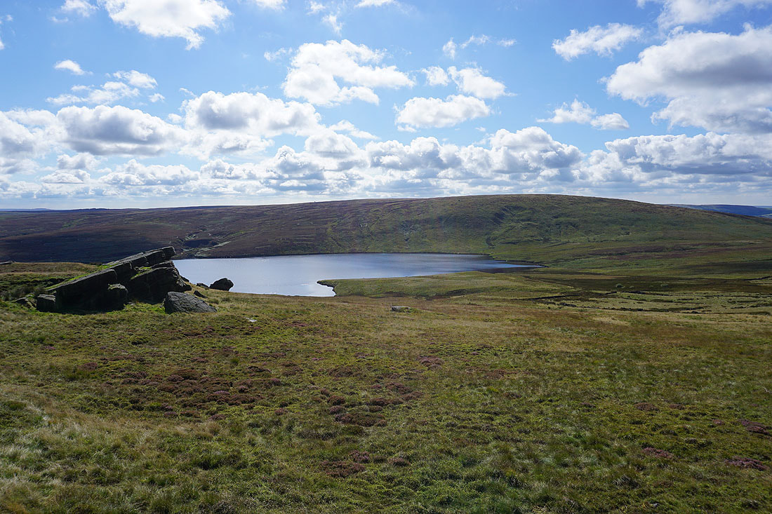
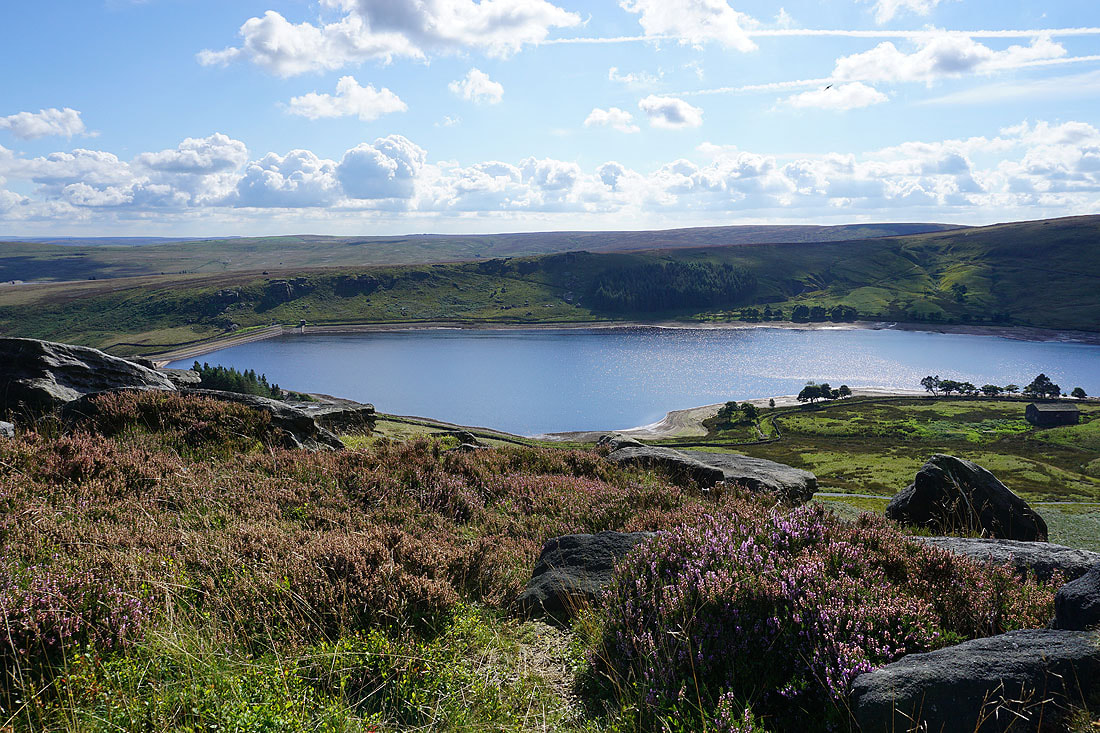
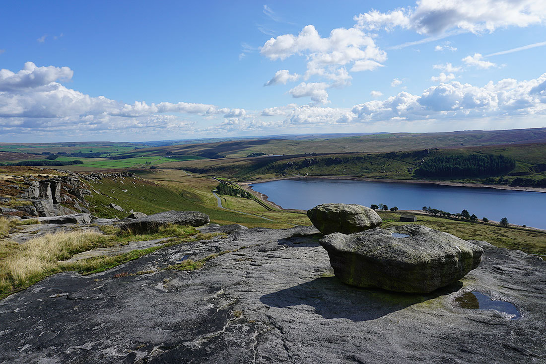
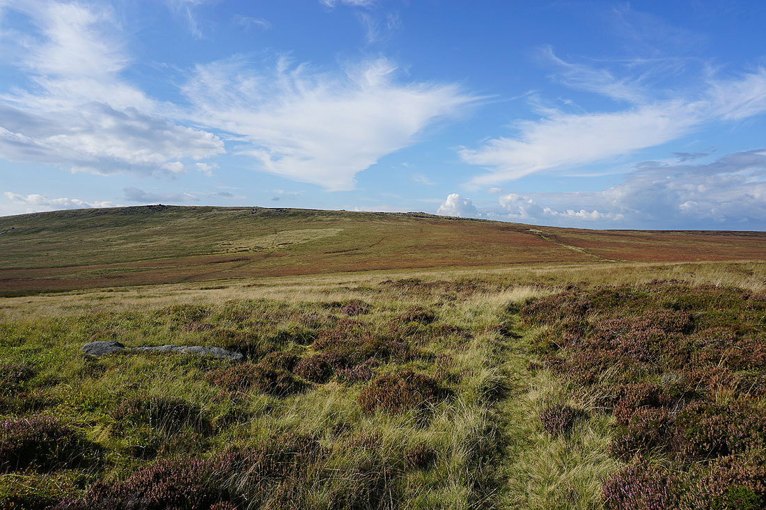
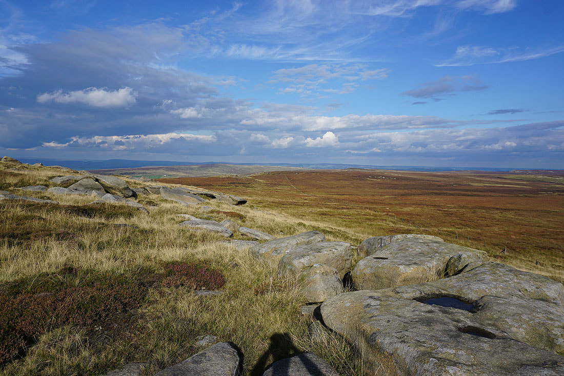
As I reach the top of The Scout and Grey Stone Hill the whole of Widdop Reservoir comes into view. I think its setting in a bowl in the hills is one of the most dramatic in the South Pennines..
Pendle Hill from Grey Stone Hill
Looking south to Gorple Hill and Clattering Stones
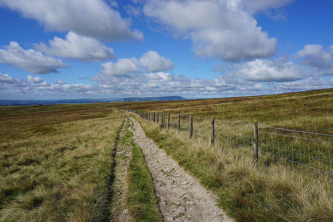
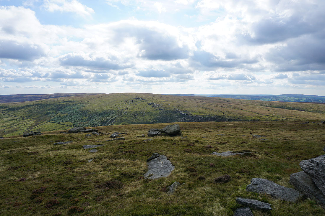
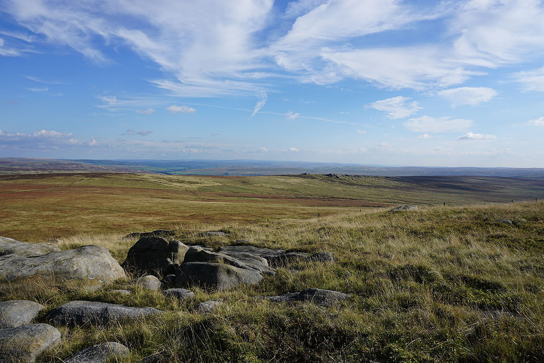
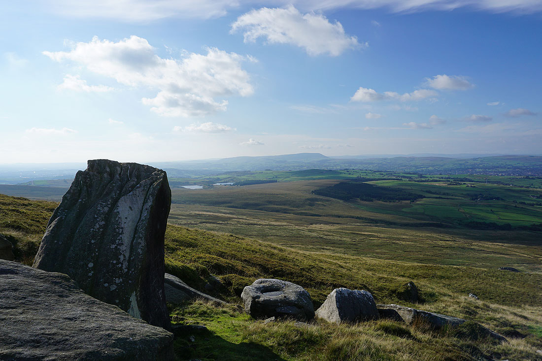
Boulsworth Hill and Dove Stones
Pendle Hill as I cross the moor from Grey Stone Hill to Dove Stones. There's a lovely light on the moors as it gets later in the afternoon.
At the southern end of Dove Stones
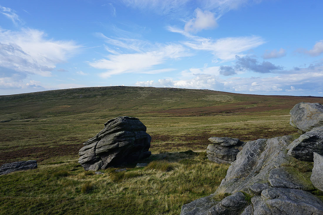
Looking across to Boulsworth Hill
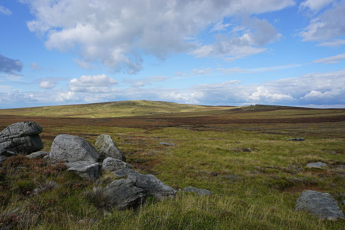
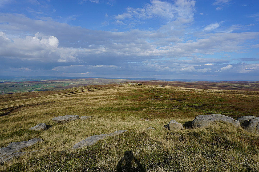
and back south along Dove Stones to the moorland of Hoof Stones Height, Gorple Hill and Grey Stone Hill
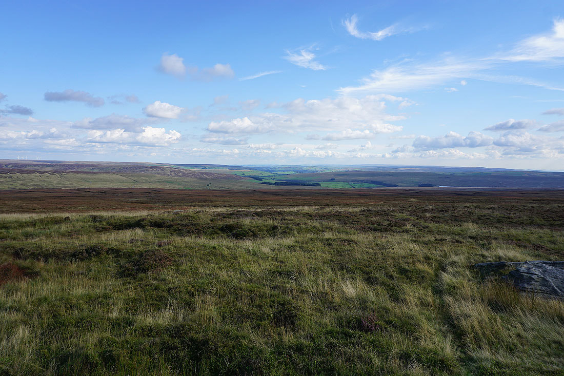
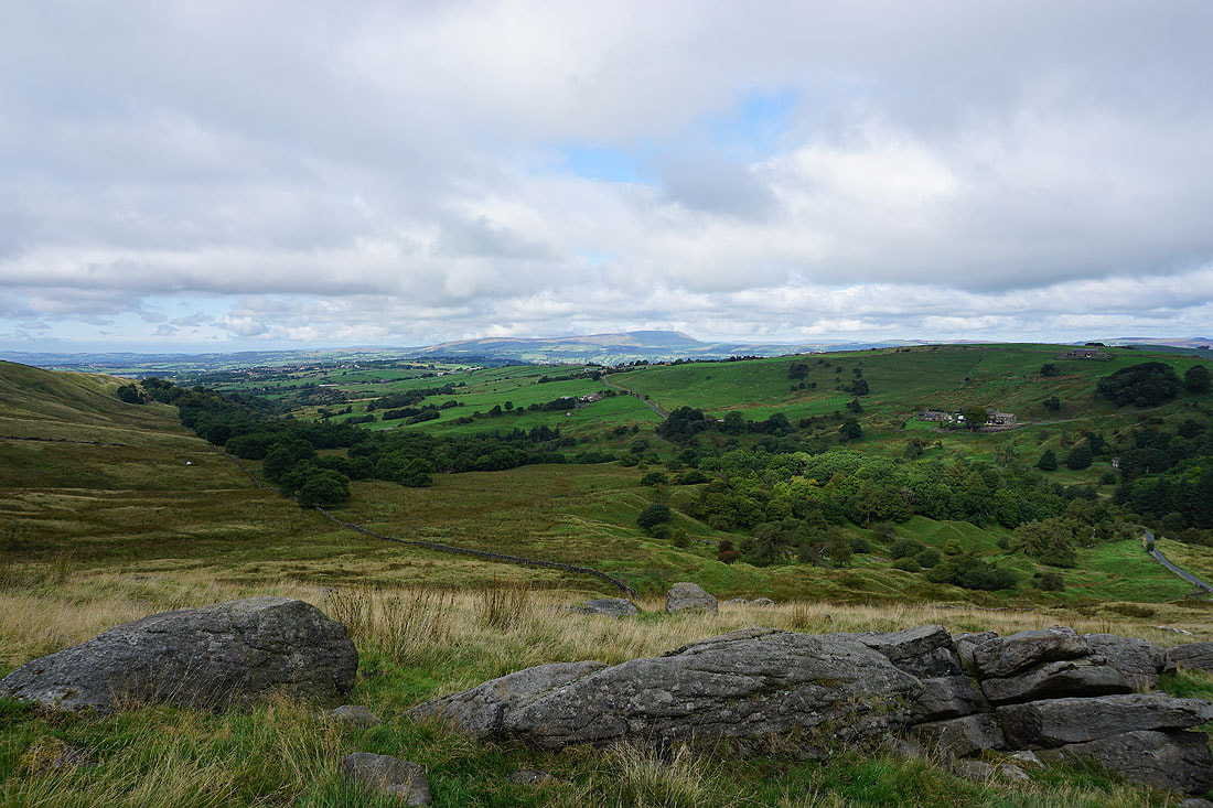
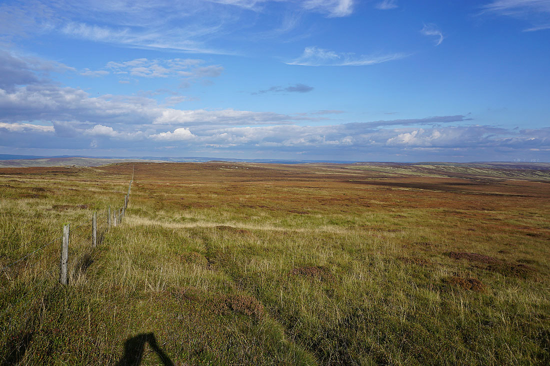
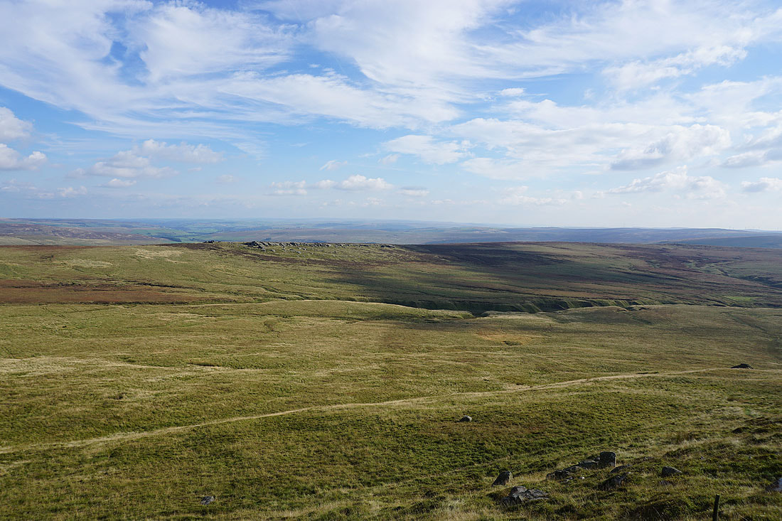
The moorland around Hebden Dale and Calderdale to the southeast
On my way from Dove Stones to Boulsworth Hill
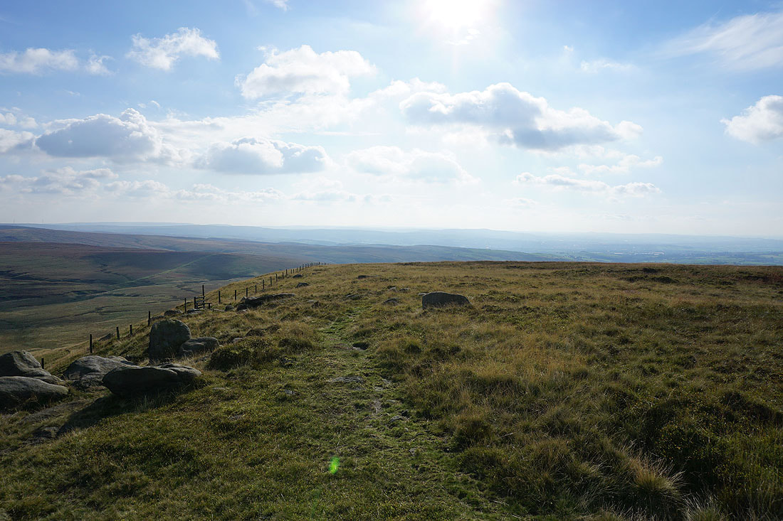
As I reach the fence just below the summit I take a look east towards Crow Hill and Stanbury Moor
On the Weather Stones, which are just to the east of the summit. Looking north across the Forest of Trawden to Weets Hill and Kelbrook Moor, with the Yorkshire Dales in the far distance.
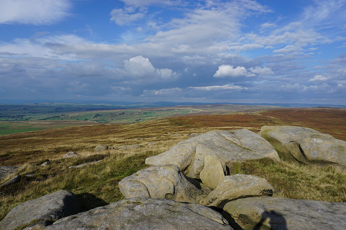
The moorland of Combe Hill and Wolf Stones to the northeast, with the Yorkshire Dales in shadow in the distance
Wolf Stones and Crow Hill to the east
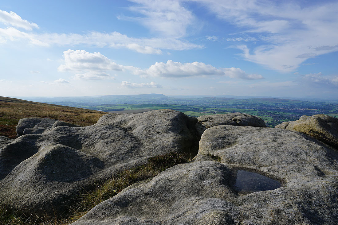
Dove Stones and the moorland of Hebden Dale and Calderdale to the south
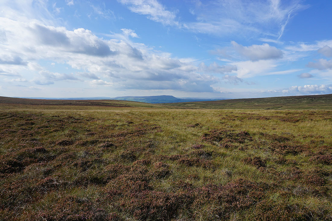
Finally, Pendle Hill from the Weather Stones
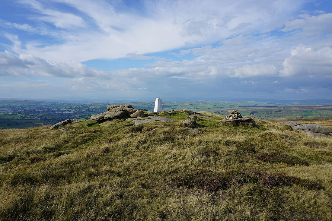
A short time later and I arrive at the trig point on Lad Law, the summit of Boulsworth Hill
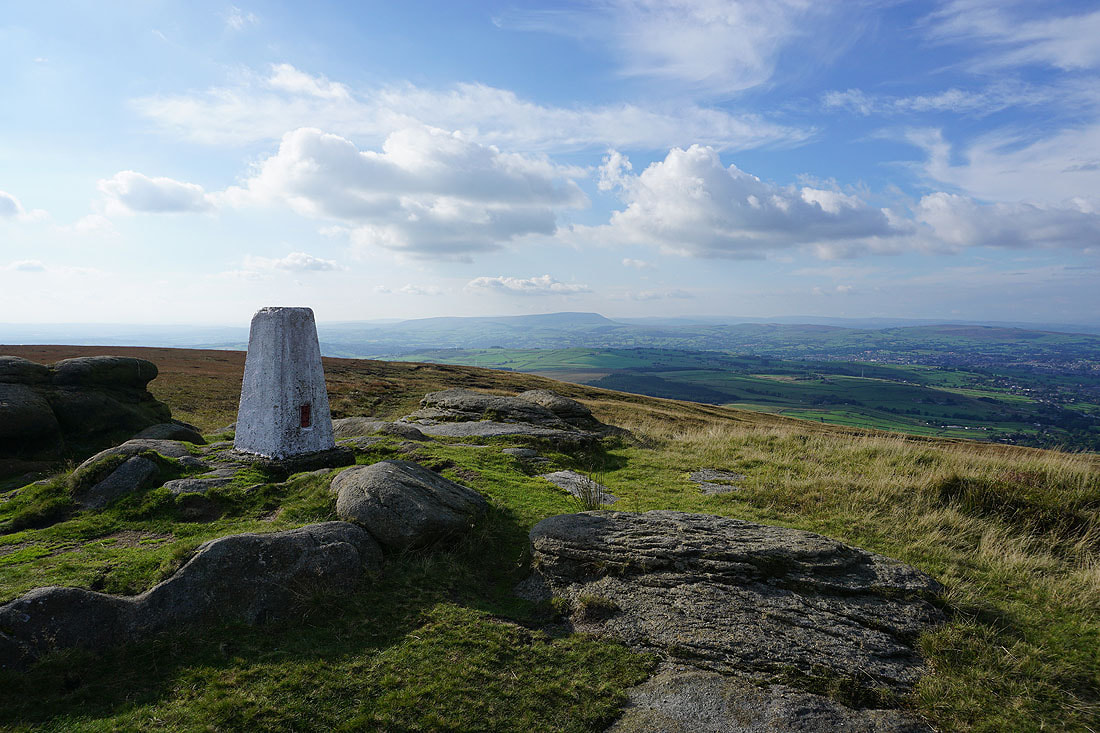
Pendle Hill in the distance
The late afternoon sun is giving some great colour to the moors as I take in the view of Wolf Stones and Crow Hill to the northeast
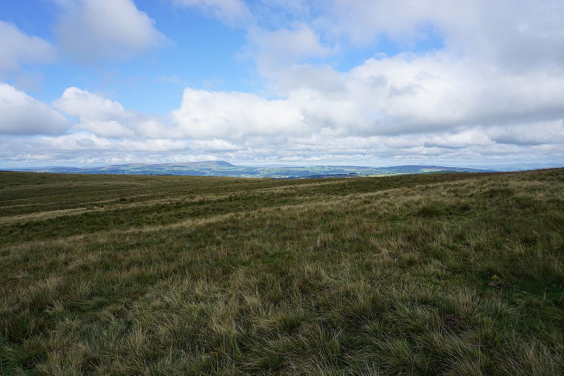
Looking north to Weets Hill, Colne, Trawden, Kelbrook Moor and Pinhaw Beacon. The visibility is just good enough to make out the Yorkshire Dales.
and south across Hey Slacks Clough to Dove Stones
It's a hazy view looking southwest towards the moorland around Rossendale
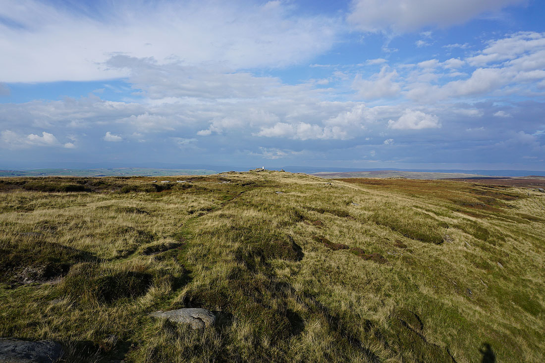
A final shot across the summit to the trig point on Lad Law
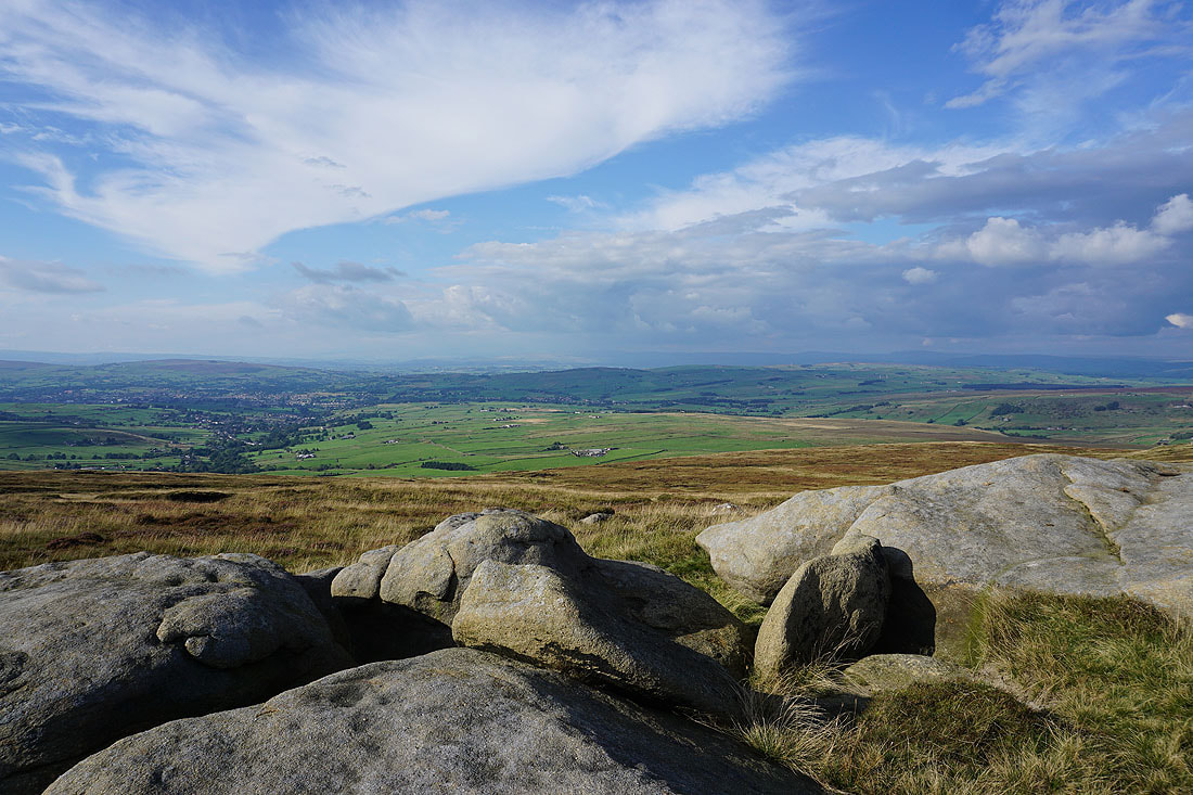
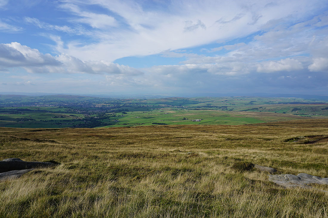
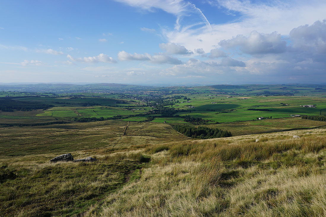
The Coldwell Reservoirs and Pendle Hill as I make my way down past the Abbot Stone
I have a great view to the north as I follow the path down to the Pennine Bridleway..
Looking back east along the Pennine Bridleway as I follow it west..
The Coldwell Reservoirs and Pendle Hill across Deerstone Moor..
Back above Lower Coldwell Reservoir
A final shot looking across Lower Coldwell Reservoir to Pendle Hill