16th April 2016 - Crinkle Crags & Bowfell
Walk Details
Distance walked: 8.3 miles
Total ascent: 3499 ft
OS map used: OL6 - The English Lakes, Southwestern area
Time taken: 7 hrs
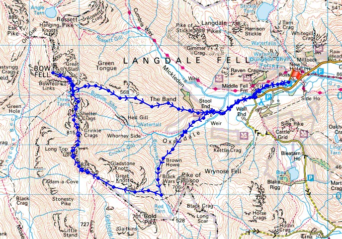
Route description: NT car park, Stickle Barn-Stool End Farm-Oxendale-Crinkle Crags-Three Tarns-Bow Fell-Three Tarns-The Band-Stool End Farm-NT car park, Stickle Barn
It was a lovely surprise when a good friend and former colleague from Ireland unexpectedly contacted me earlier in the week and asked me if I was going hill-walking this weekend. Work was going to bring him over to the UK the following week so he was going to make a trip of it and as well as visiting family in Newcastle he really wanted to take advantage of the opportunity to doing some hill-walking in England. I was only too happy to oblige. After all, he'd guided me to the top of a couple of hills in Ireland when I was over there. After having a chat about his plans I decided that we'd go to the Lake District and head to Langdale. He was going to catch the ferry across to Holyhead, so the Lake District would be on the way north to Newcastle and since Saturday was the only day available, Langdale would give me options for whatever the weather happened to be like. As it turned out, the weather was kind to us and I was able to do the walk that was my first choice. There were sunny spells with a few snow showers around and a cold wind but the air was really clear so there were fantastic panoramas from the summits to enjoy. For a first time visitor to the Lake District I don't think that I could have asked for a better day to show off the area and we both thoroughly enjoyed it.
From the NT car park at Stickle Barn we followed the footpath across the fields to the Old Dungeon Ghyll Hotel and then the track to Stool End Farm. Once through the farmyard we took the path into Oxendale, across the footbridge over Oxendale Beck and then up by Browney Gill. At the top and after a pause for breath and a quick detour to Red Tarn it was time to tackle Crinkle Crags. Every one of the Crinkles was paid a visit with the first being our place to stop for lunch. Once across the Crinkles we reached Three Tarns for the ascent of Bow Fell. After enjoying the view from the summit we returned to Three Tarns to make our descent down the The Band to Stool End Farm. We then retraced our steps back to the car park.
Route map
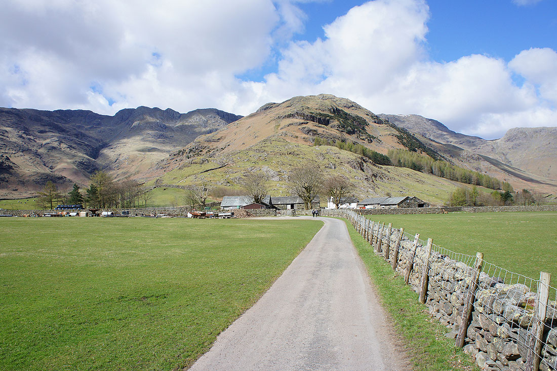
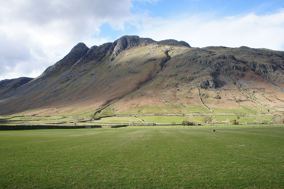
On the track to Stool End Farm. It's one of my favourite starts to any walk with the targets for the day right there in front of you.
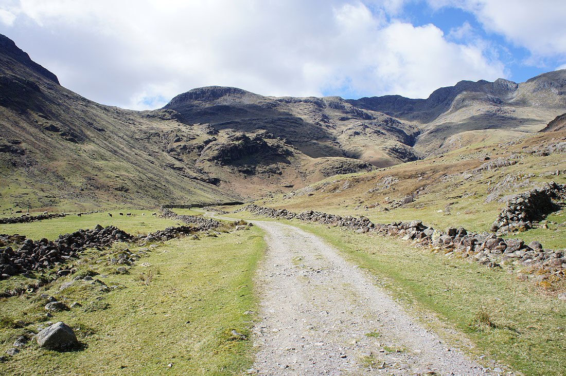
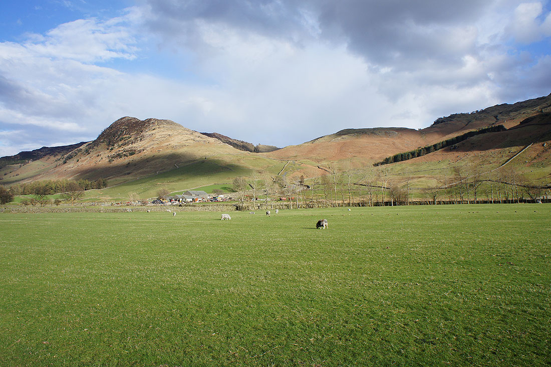
Heading into Oxendale
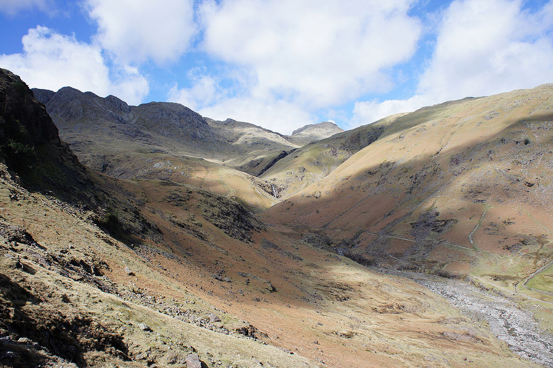
Crinkle Crags and Bowfell as we climb the path by Browney Gill
Great Knott, Crinkle Crags & Bowfell as we near Red Tarn
and again as we make a short detour to Red Tarn
The Langdale Pikes as we get back on the path to Crinkle Crags
Looking back to Pike o'Blisco and Red Tarn
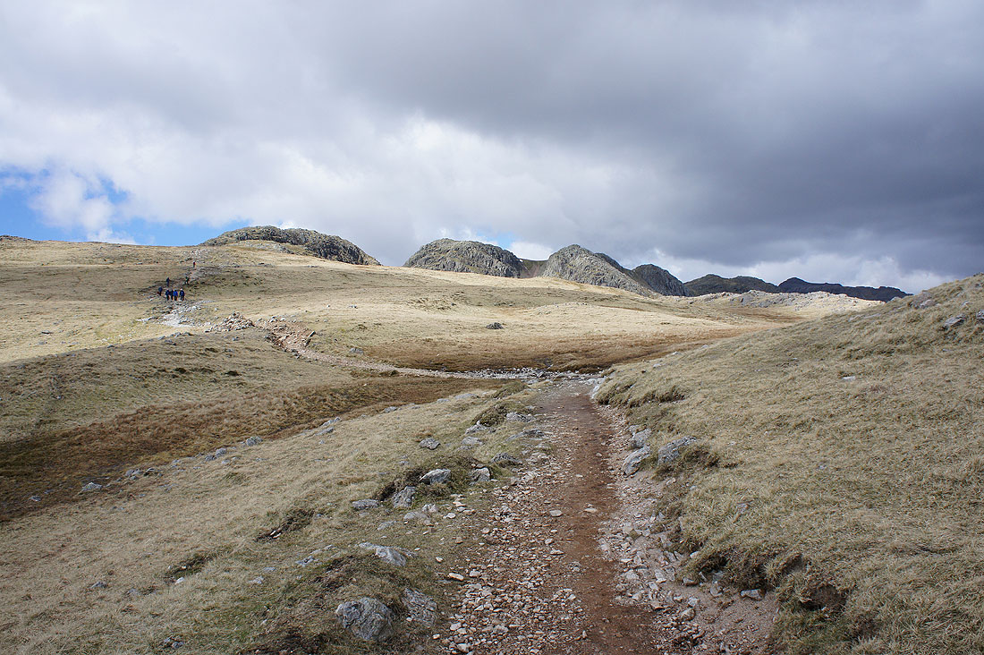
The Crinkle Crags now in sight, along with a dark cloud
On the first Crinkle and after having lunch I'll wander round and take some photos of the view. Skiddaw and Blencathra to the north past the shoulder of the third Crinkle.
Helvellyn and Fairfield in the distance beyond the Langdale Pikes
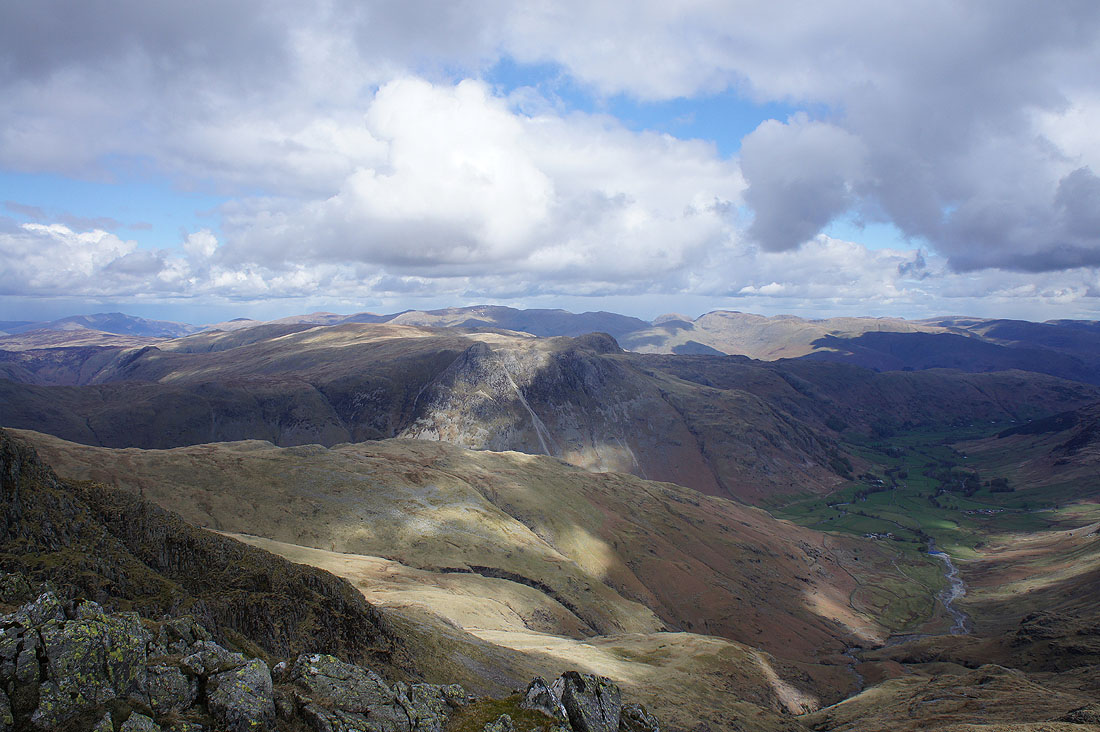
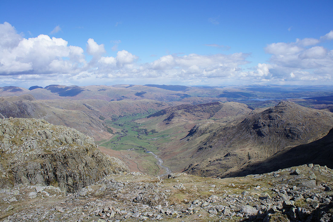
Looking down Langdale
Windermere behind Pike o'Blisco with Wetherlam in the Coniston fells on the right. In the distance are the Howgills and the fells of the Yorkshire Dales, some of which seem to have a dusting of snow on them.
The Duddon estuary in the distance
and looking down Eskdale to the Irish Sea with the Isle of Man on the horizon on the right
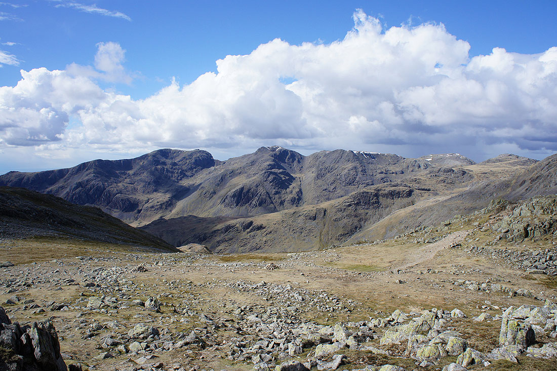
Finally, Scafell and Scafell Pike across upper Eskdale
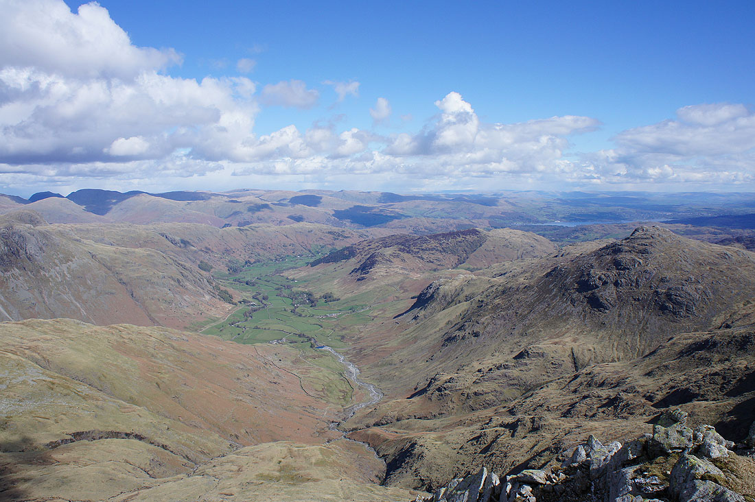
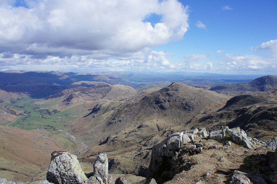
Looking down Langdale from the second Crinkle
and onwards to the rest of the Crinkles and Bowfell
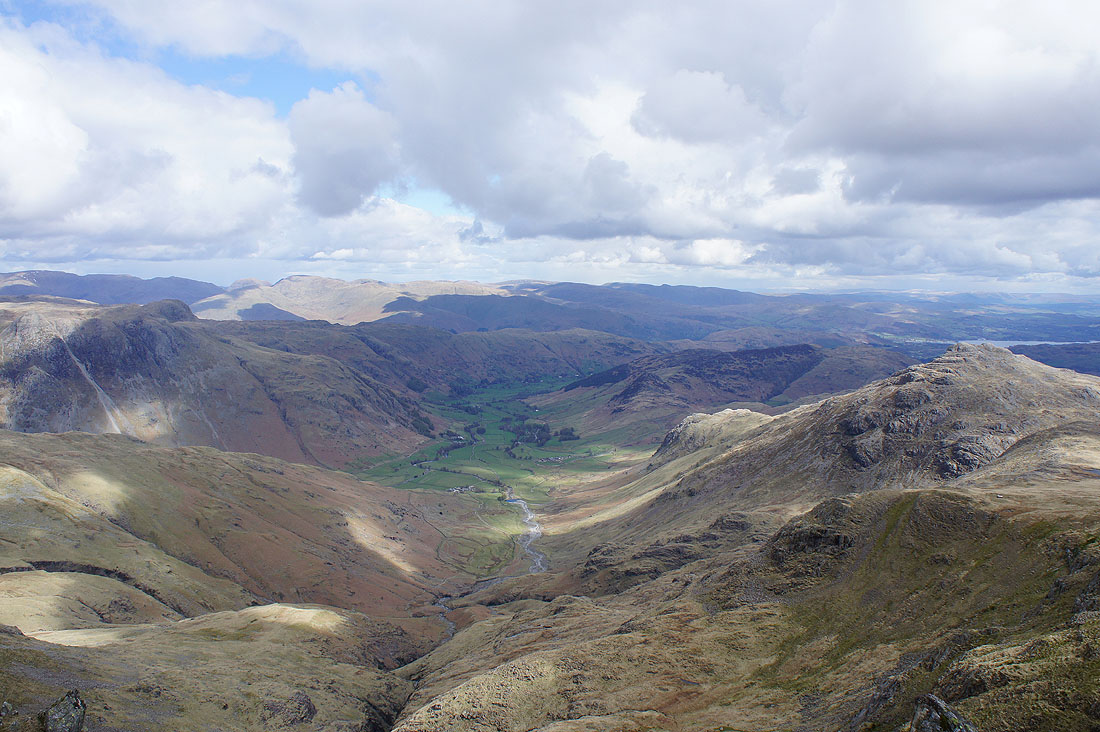
On the third Crinkle with its great view of Langdale
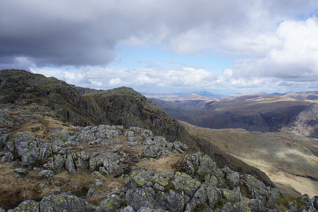
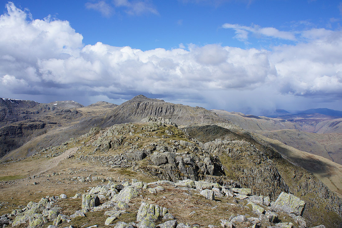
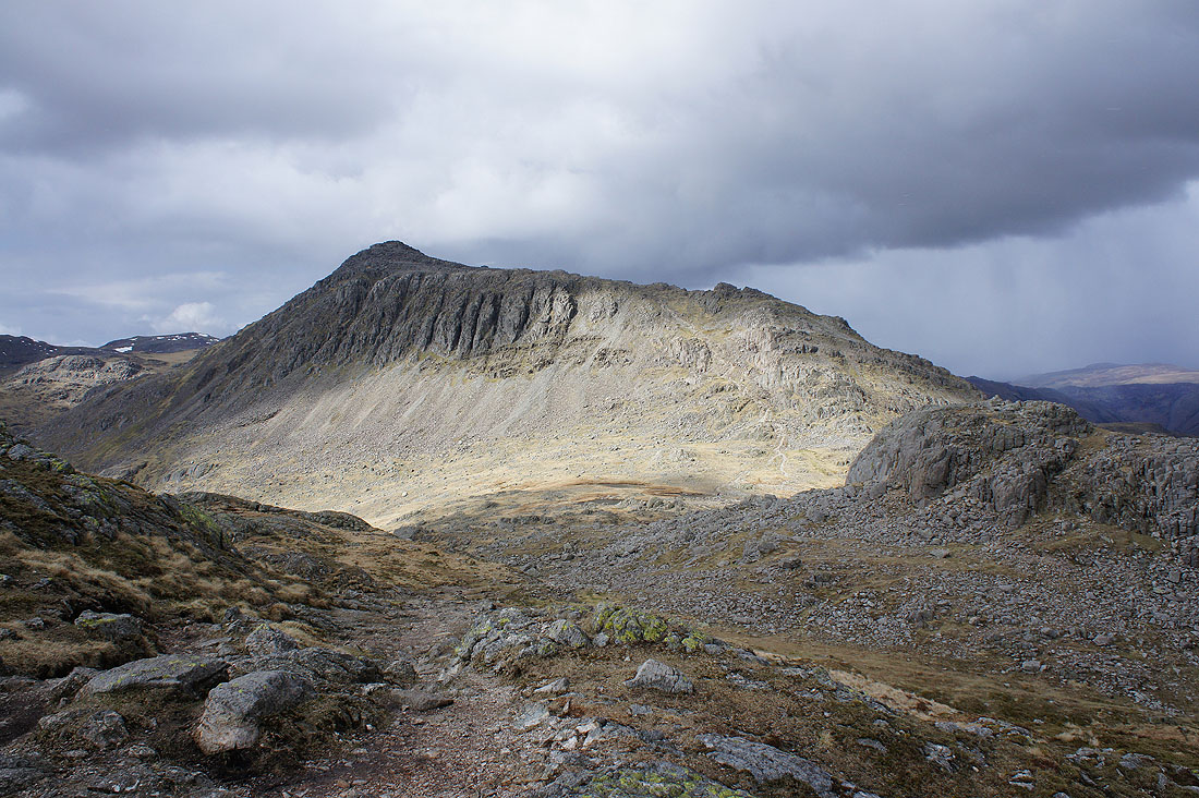
Bowfell behind the final two Crinkles and Shelter Crags
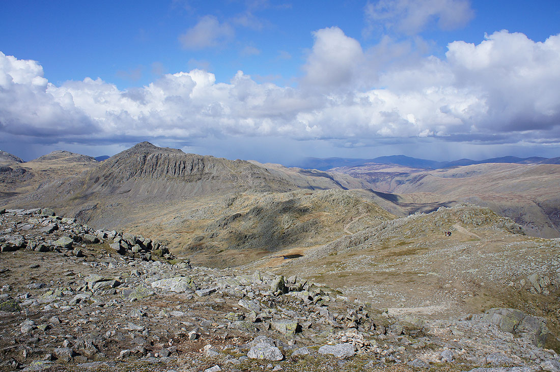
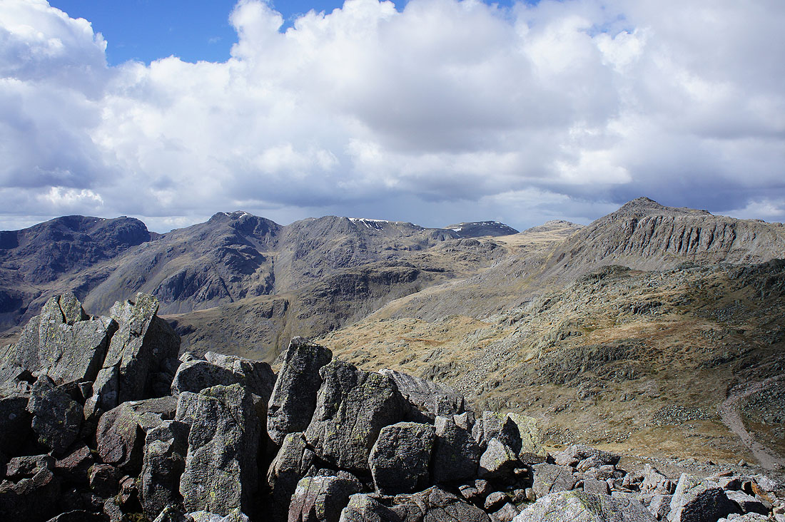
Scafell, Scafell Pike, Great End and Esk Pike
Langdale, Pike o'Blisco, Windermere and beyond from the final Crinkle
The Scafells and Bowfell
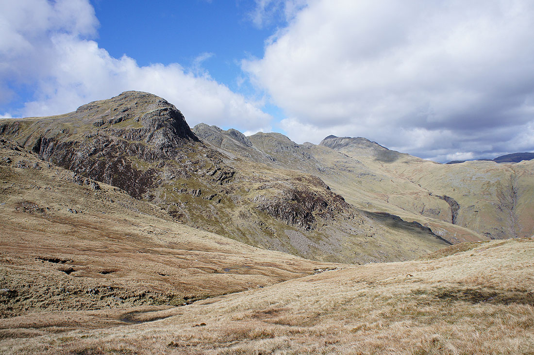
Bowfell now looms large as we make our way past Shelter Crags to Three Tarns, as does the dark cloud and shower that is heading towards us
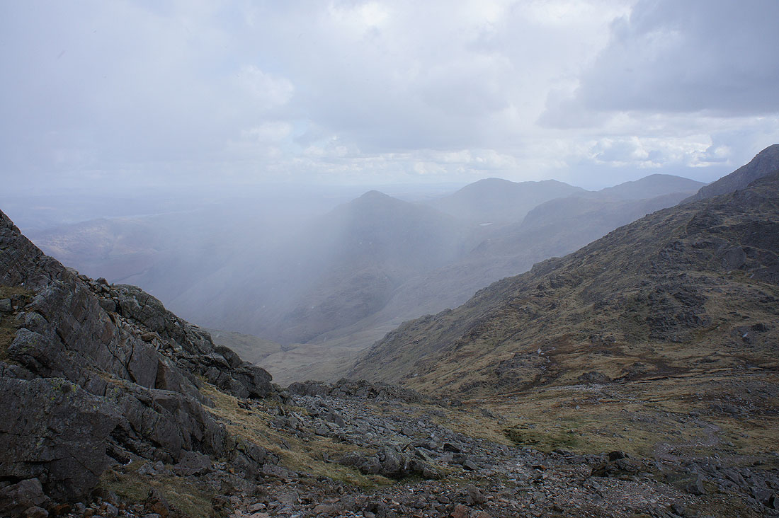
The shower has hit us as we make our way up Bowfell. We decided to pause for a few minutes to let it pass through.
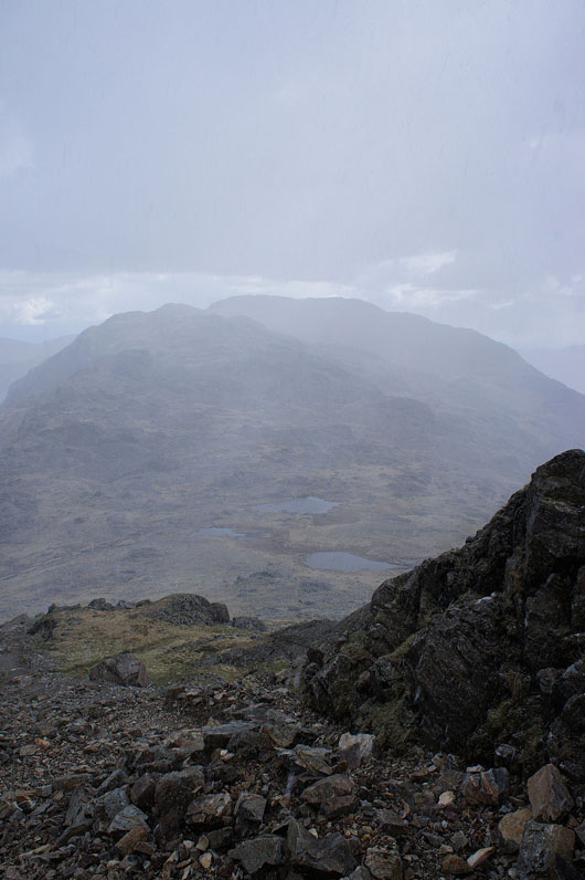
Three Tarns still visible through the snow
Dramatic skies as the shower has cleared through and we approach the summit of Bowfell
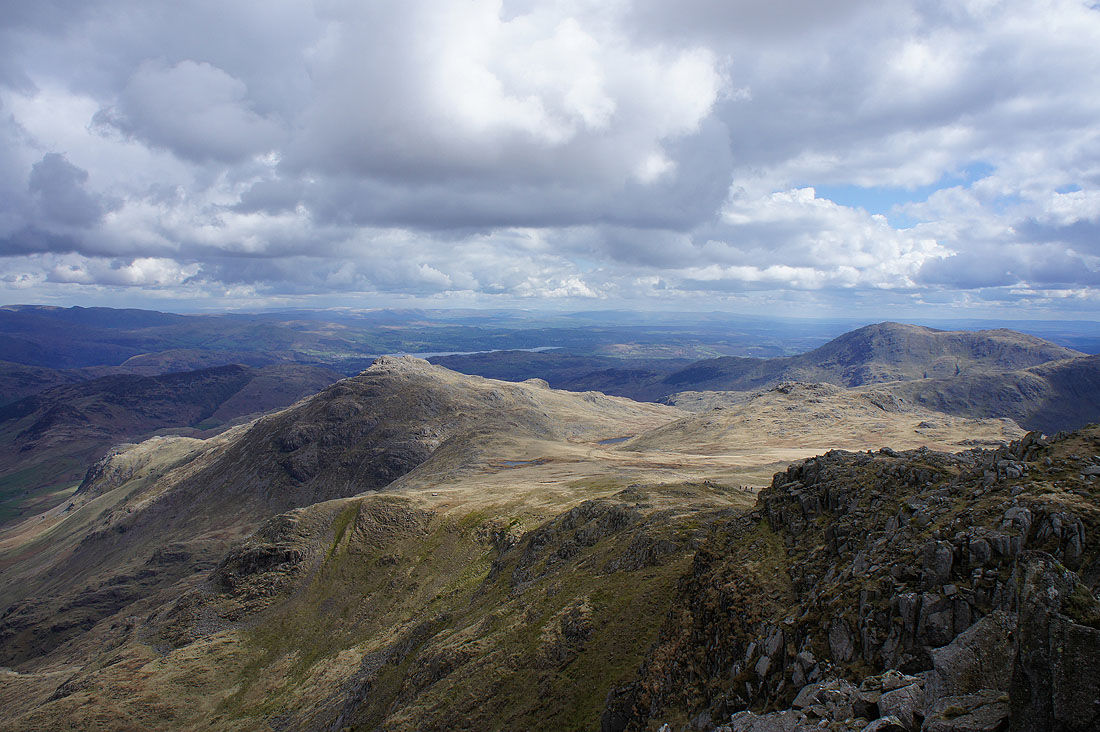
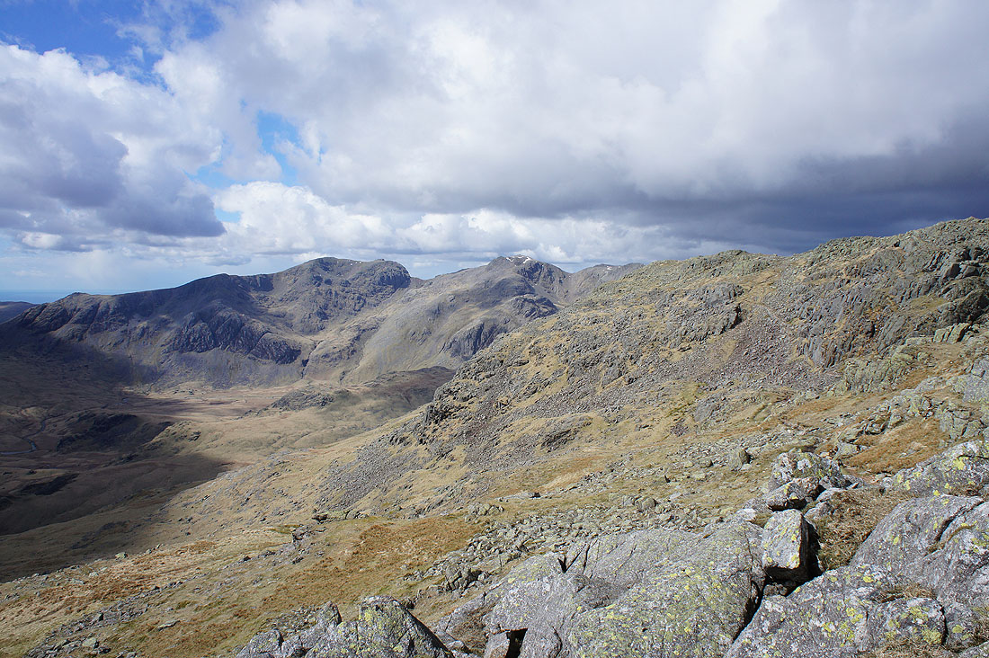
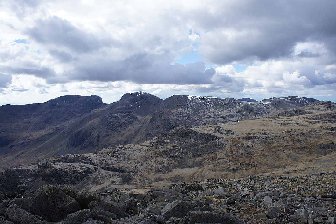
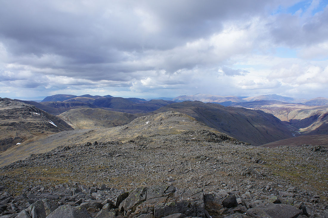
The summit of Bowfell is right up there in my list of favourite places to be in the Lake District. There's a great view in all directions, especially when the visibility is as good as it is today. Scafell, Scafell Pike, Ill Crag and Great End beyond the south ridge of Esk Pike.
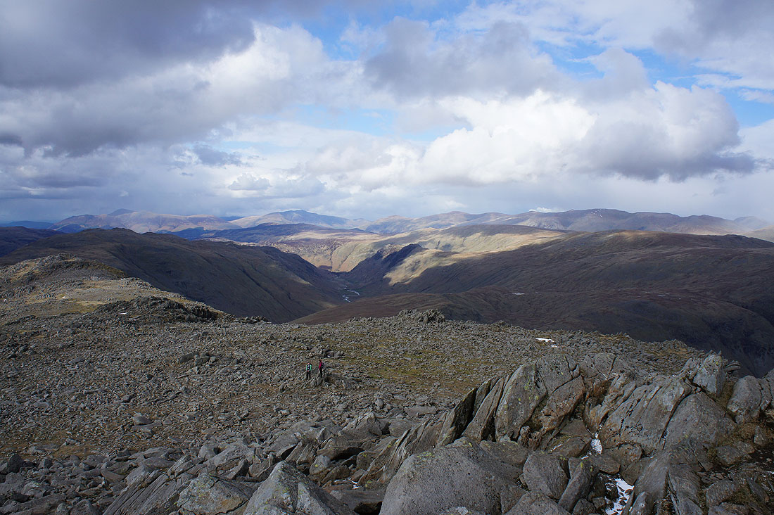
Grasmoor, Crag Hill, Grisedale Pike and the other northwestern fells; Glaramara, Skiddaw and Blencathra
Looking north down Langstrath with Skiddaw, Blencathra and the Helvellyn range in the distance
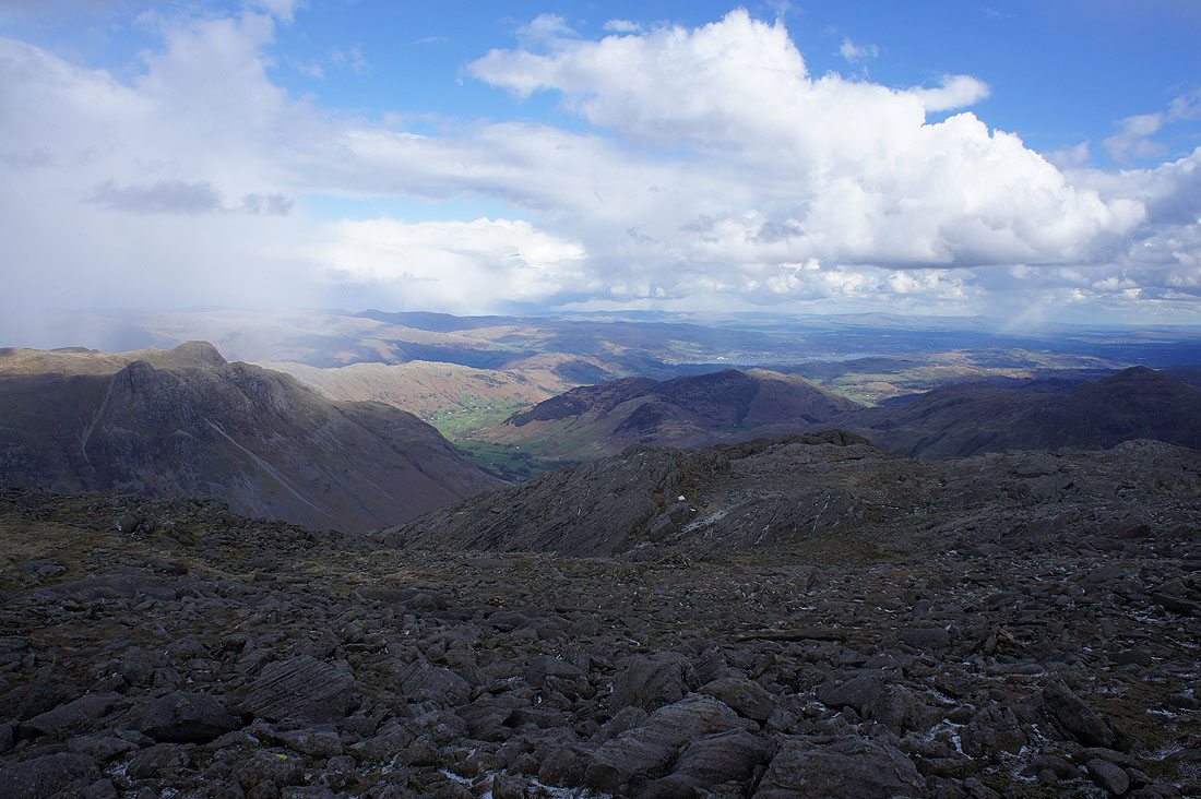
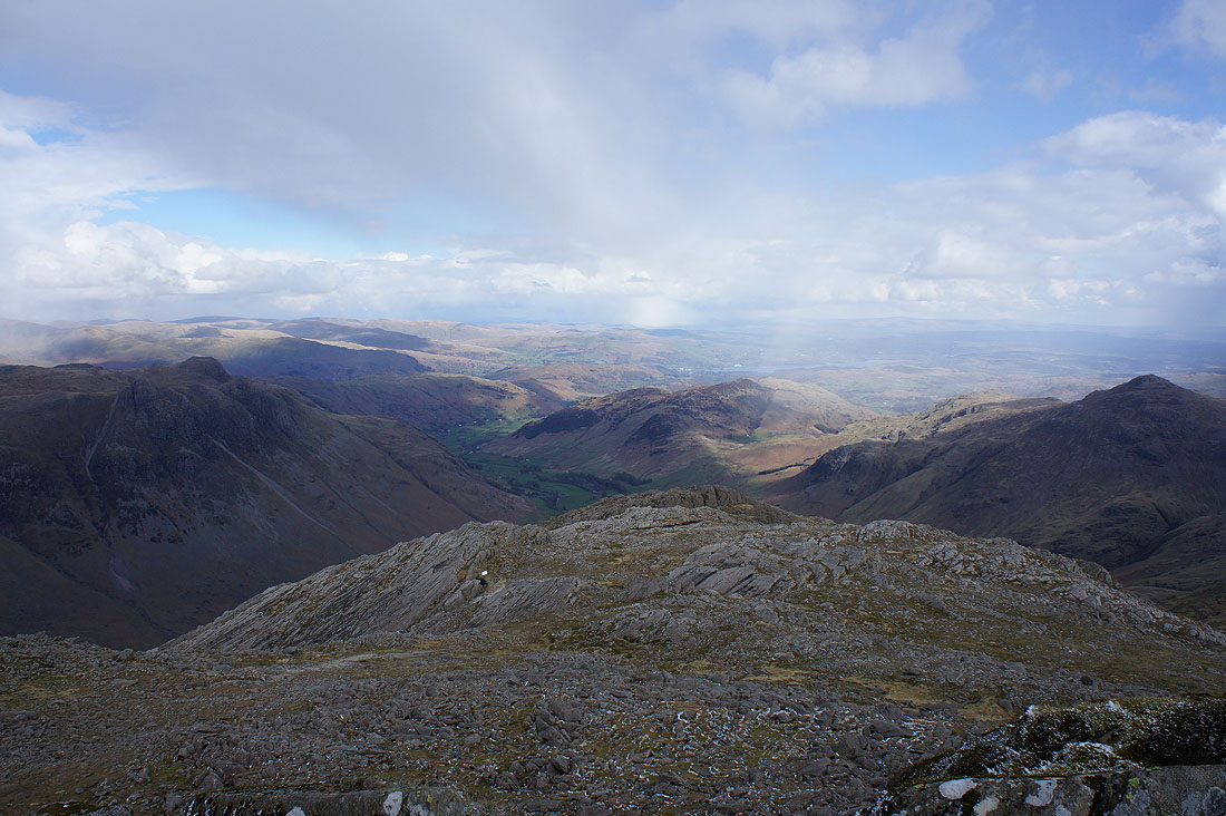
The Langdale Pikes, Langdale and Lingmoor Fell. The showers are creating some great looking skies with patches of blue and bright sunshine and shafts of snow falling from the shower clouds.
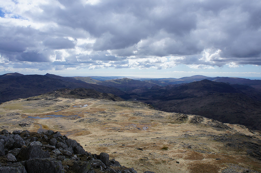
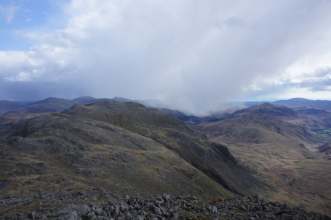
Speaking of showers, the one that hit us on the way up is making its way down the Duddon Valley. On the left are the Crinkle Crags with the Coniston fells beyond and on the right is Harter Fell.
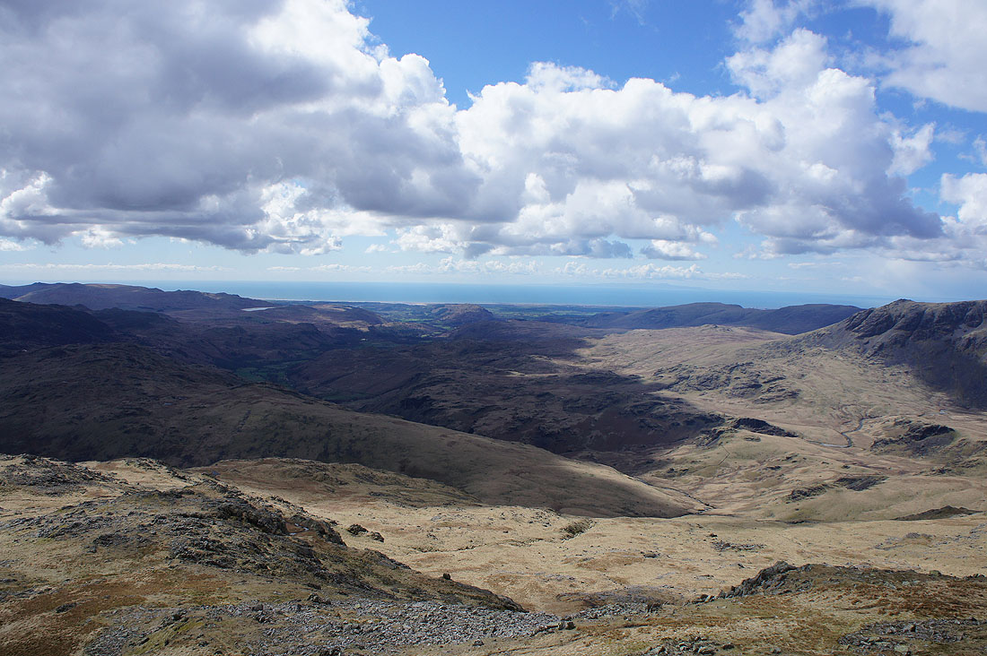
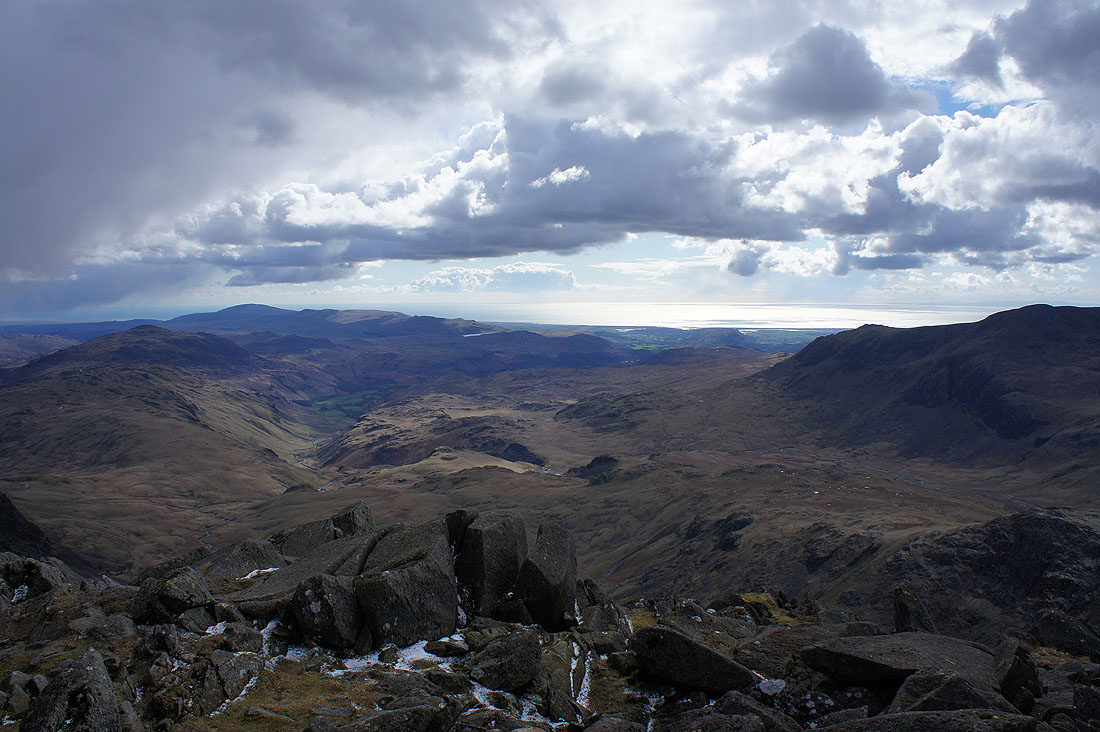
A final photo from the summit, looking down Eskdale to bright sunshine over the Irish Sea
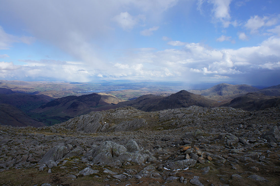
Heading back down and I couldn't resist taking another shot of this view towards Windermere and beyond. I can easily make out the summit of Ingleborough in the distance.
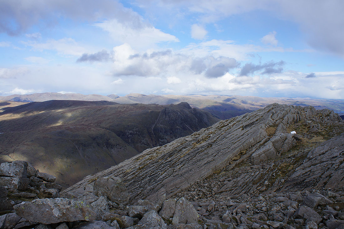
The Great Slab. A feature of Bowfell that shouldn't be missed.
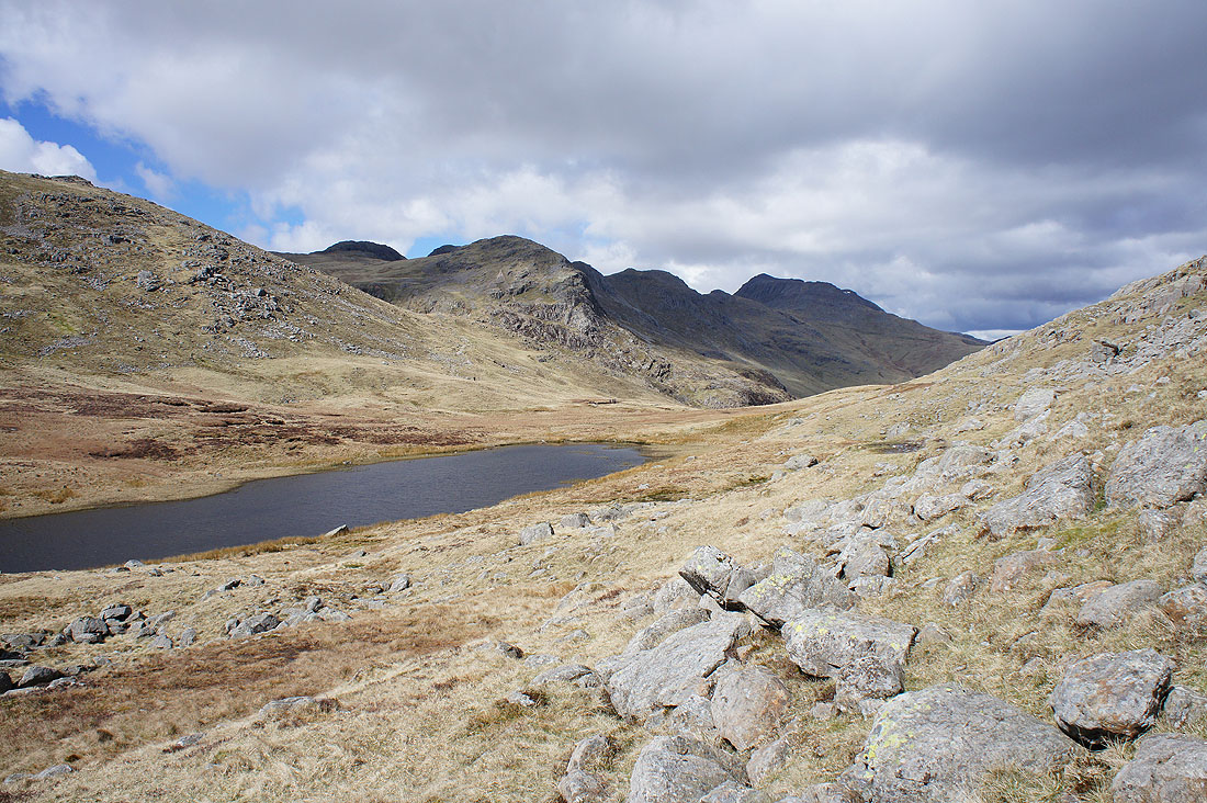
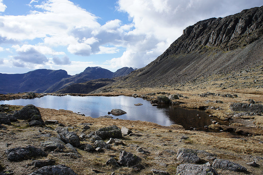
Scafell, Scafell Pike and Bowfell Links from next to one of the Three Tarns
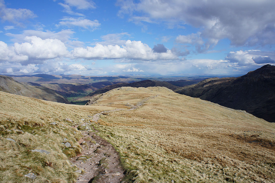
Heading down The Band
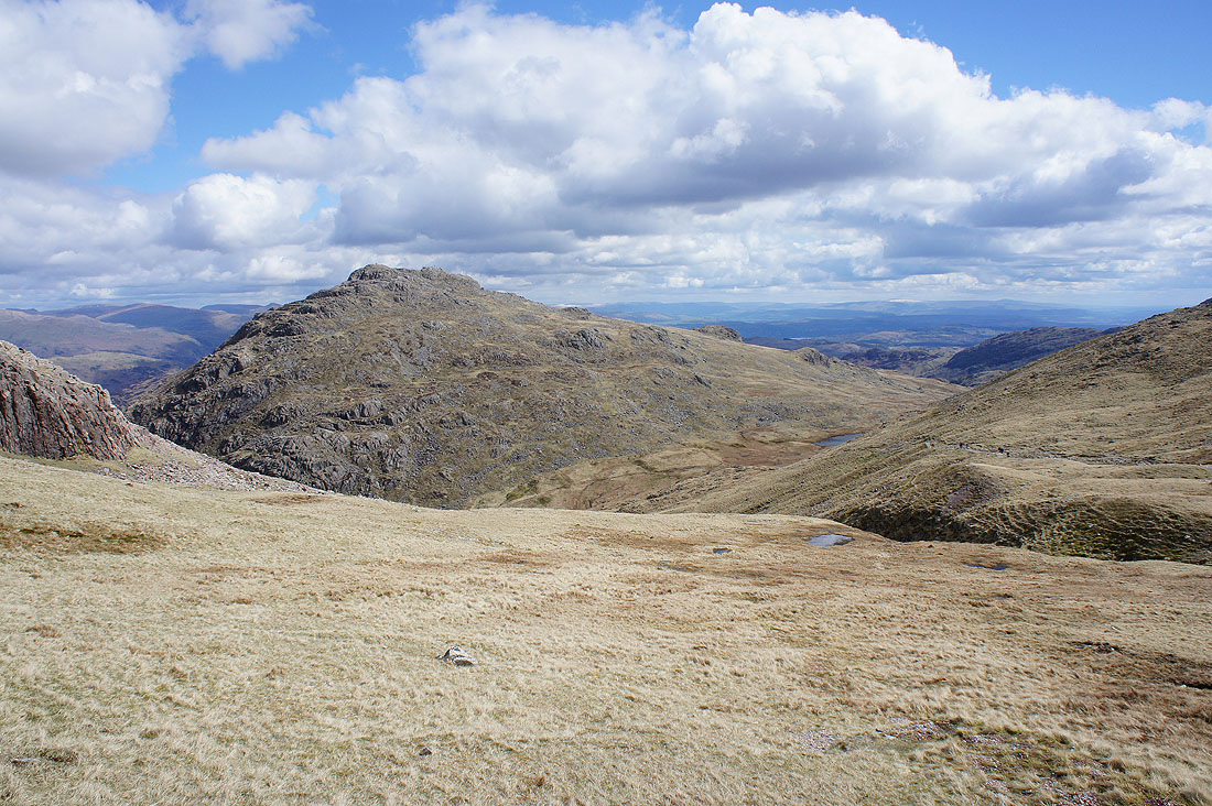
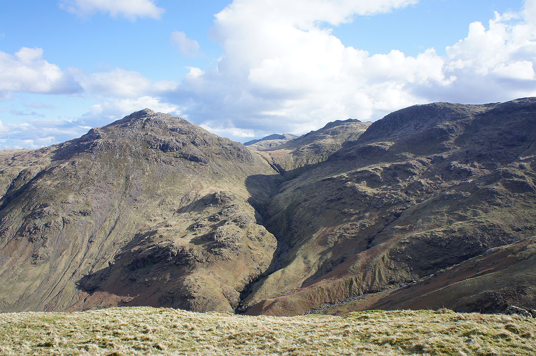
Pike o'Blisco, Browney Gill and Great Knott to our right
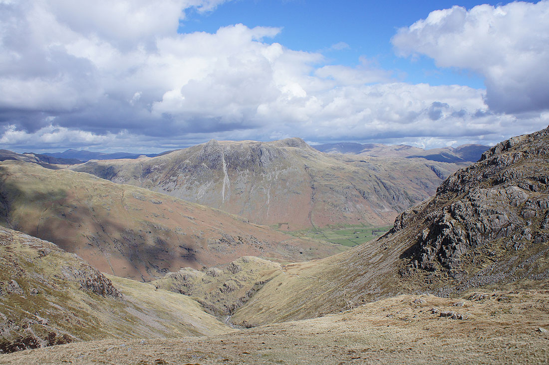
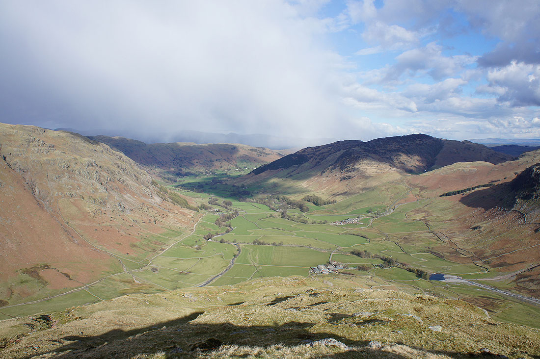
The view of Langdale opens up as we reach the final descent..
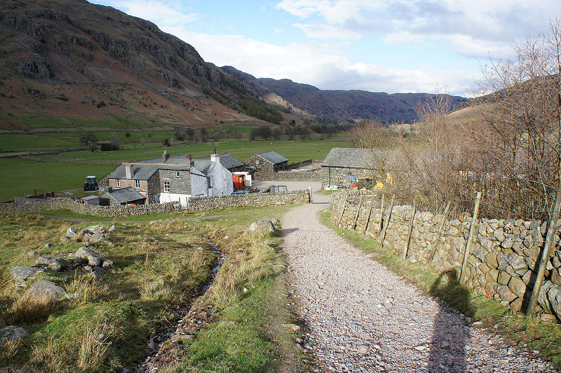
..and approach Stool End Farm
The Langdale Pikes..
..and Side Pike and Wall End Farm as we leave Stool End Farm behind
