16th December 2018 - The Saddleworth Edges
Walk Details
Distance walked: 8.9 miles
Total ascent: 1632 ft
OS map used: OL1 - The Peak District, Dark Peak area
Time taken: 5 hrs
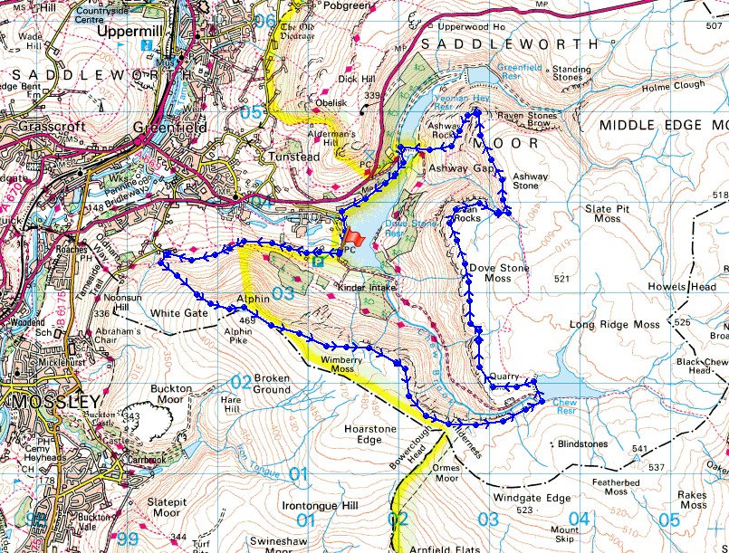
Route description: Dove Stone Reservoir-Bradbury Lane-Intake Lane-Alphin Pike-Wimberry Crag-Stable Stones Brow-Chew Reservoir-Dish Stone Brow-Dean Rocks-Ashway Rocks-Yeoman Hey Reservoir-Dove Stone Reservoir
There's some reasonable weather forecast for today so I decided to head for Saddleworth in the northwestern corner of the Peak District and do a walk along some of the gritstone edges above Dove Stone Reservoir. It's an area that I've been to many times now and I've never been disappointed. With the days as short as they are I couldn't do all the edges, and with any sunshine set to disappear in the afternoon as thickening cloud moved in from the west I got up high as soon as I could by heading for Alphin Pike. The moorland from Alphin Pike to Stable Stones Brow was on the edge of the devastating fire that swept across these moors back in the summer and it's still obvious just how far it spread with areas of burnt heather and bare peat contrasting with the green of the surviving moor. I hope it makes a speedy recovery. After setting off with sunny skies the sunshine soon became hazy after midday and the skies were pretty grey by the middle of the afternoon. A chilly breeze high up, but then it is the middle of December.
From the car park at Dove Stone Reservoir I walked west along Bradbury Lane, past the row of cottages and along Intake Lane until I reached access land and the trail of the Oldham Way. An enclosed path on the left then let me climb up onto the moor to reach the trig point on Alphin Pike. I then followed the path along the edge of the moor to Wimberry Crag, Stable Stones Brow, and above the valley of Chew Brook to Chew Reservoir. After a break for lunch I continued along the moorland edge by making my way west to Dish Stone Brow, then north to the Cairn on Fox Stone and Dean Rocks. The path then crossed Ashway Brook before heading north to Ashway Rocks. From here I took a path down the hillside to the dam of Yeoman Hey Reservoir. After crossing its dam I followed the path by the north shore of Dove Stone Reservoir and its dam back to the car park.
Route map
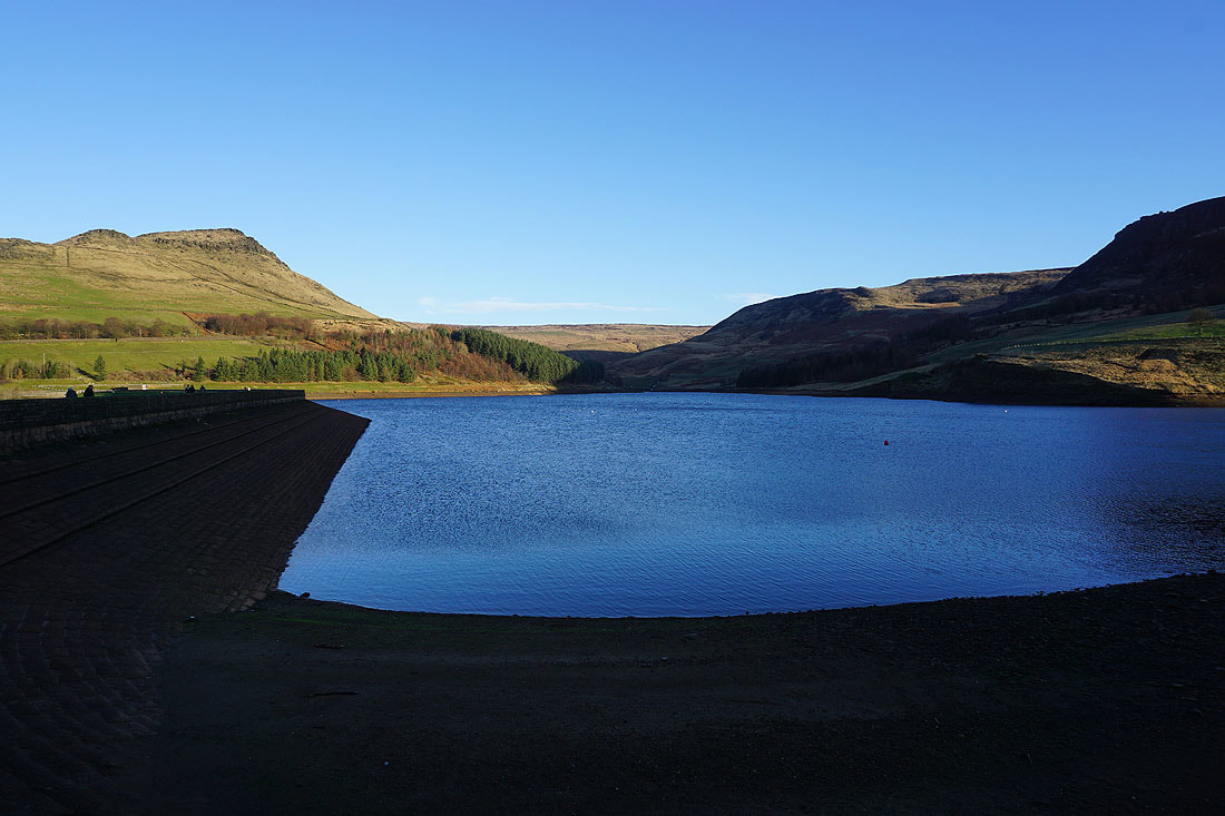
Alderman's Hill and Dove Stone Reservoir as I set off
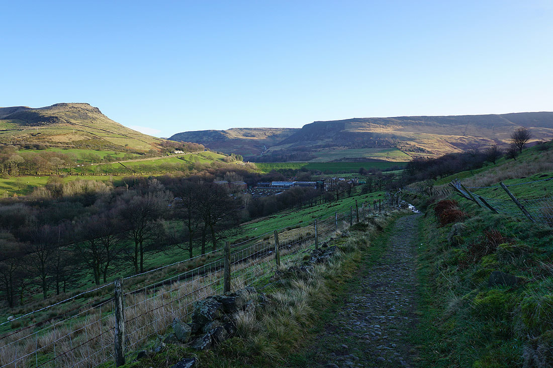
Looking back as I follow Bradbury Lane west
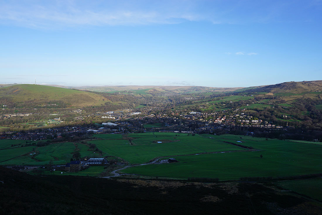
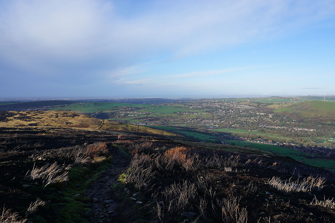
Greenfield below as I make my way up to Alphin Pike
Oldham and Grasscroft to the northwest from Alphin Brow
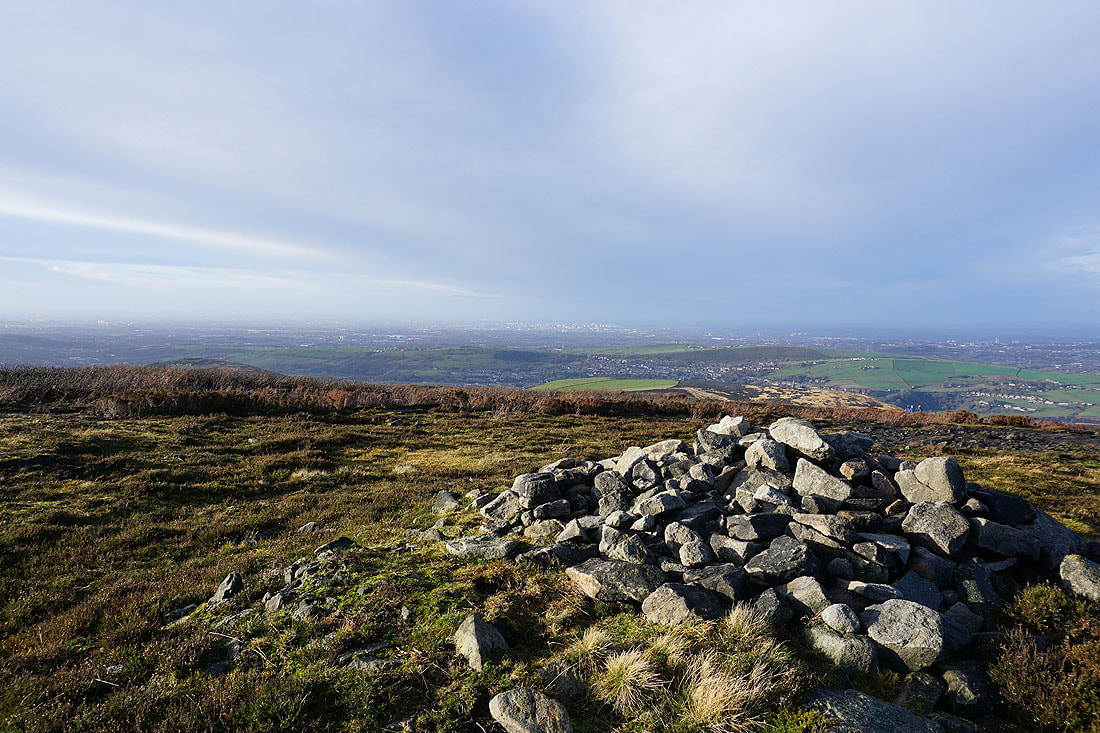
A sunlit Manchester city centre in the distance from the summit of Alphin Pike
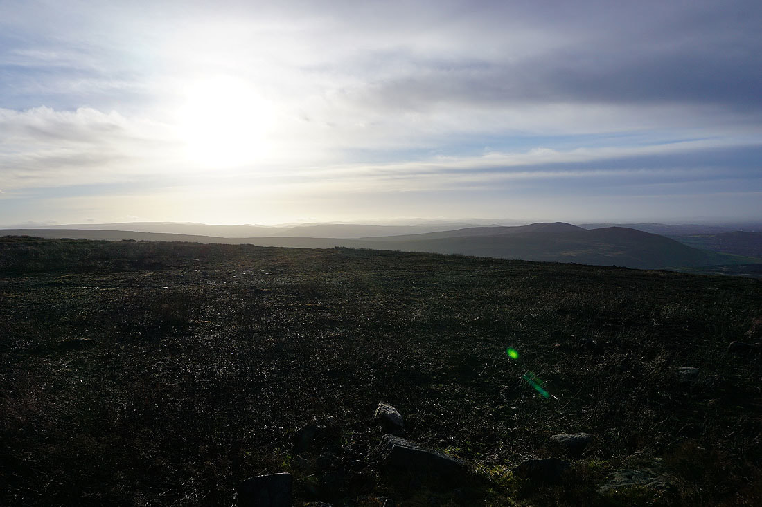
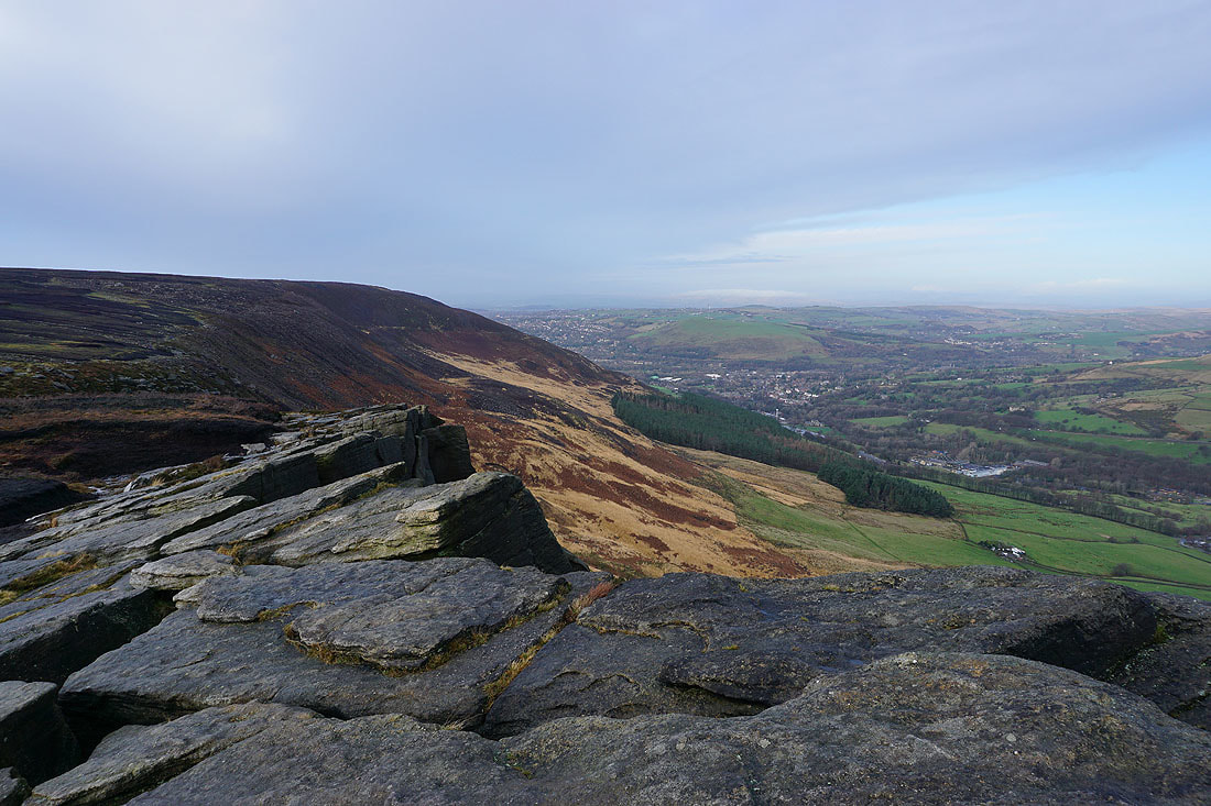
Looking south along the western edge of the Peak District
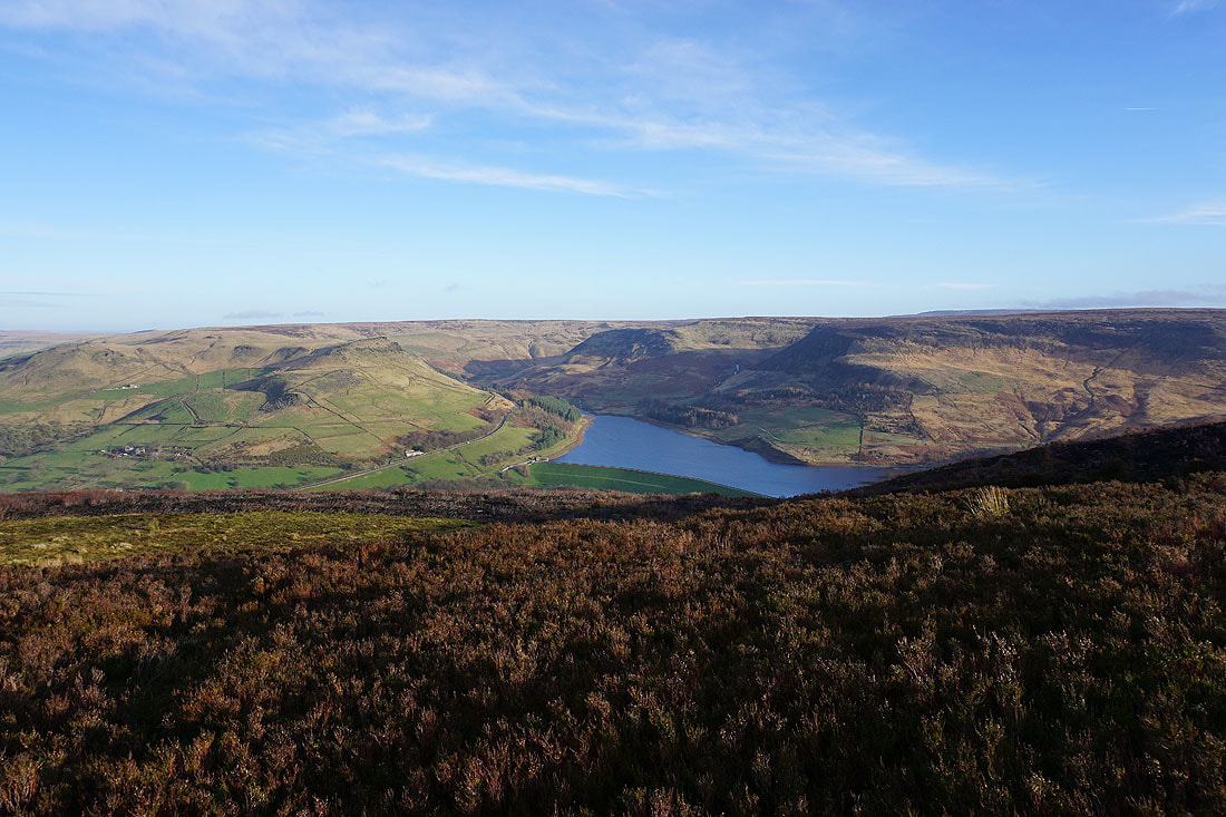
Dove Stone Reservoir and the Saddleworth moors
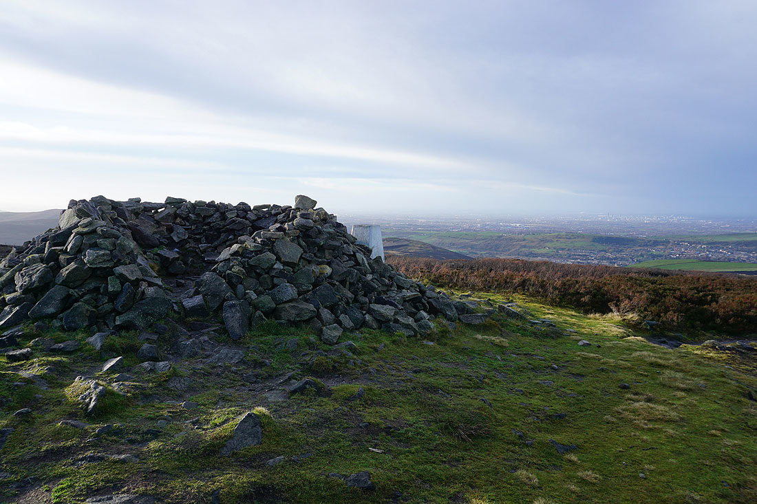
The shelter and trig point on Alphin Pike
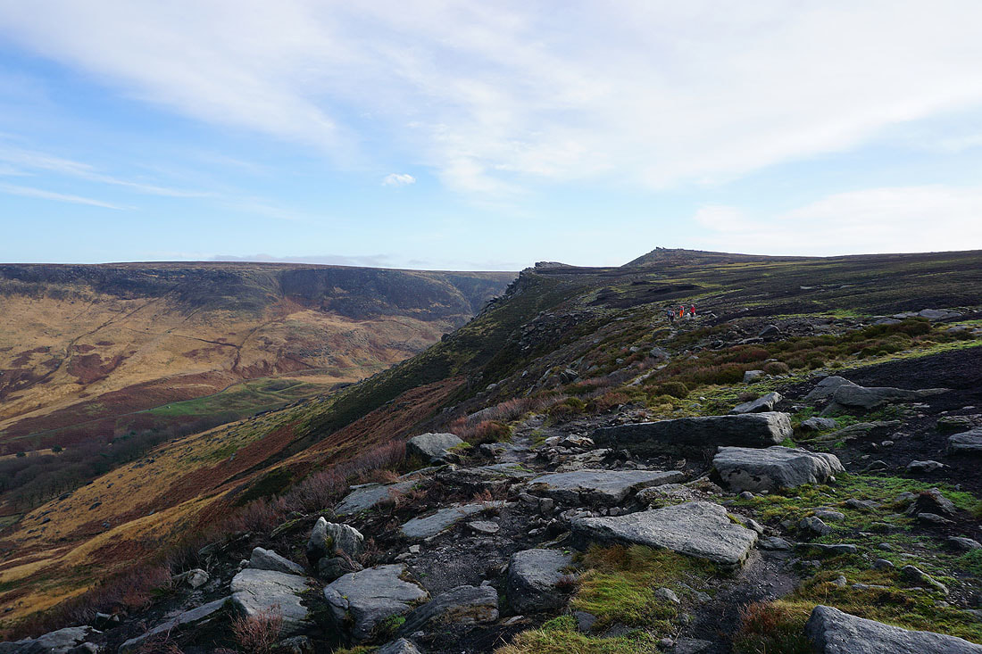
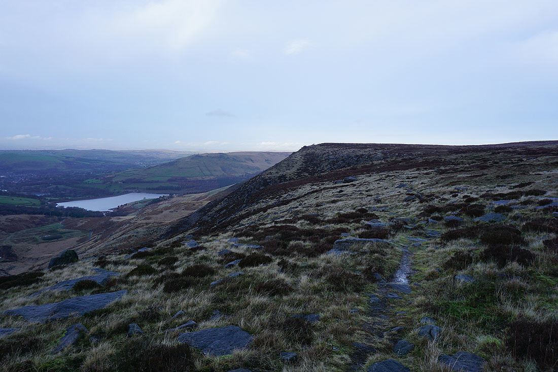
Heading along the edge of the moor to Wimberry Crag
Dove Stone Reservoir below
Looking back along the edge of the moor to Alphin Pike from Wimberry Crag..
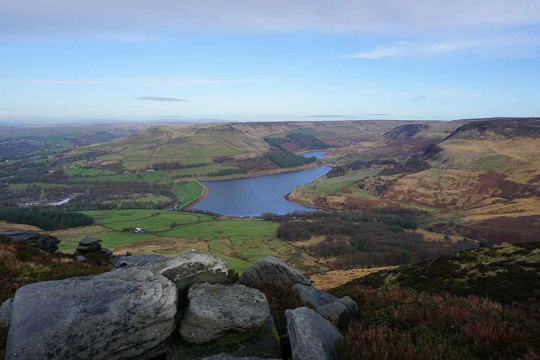
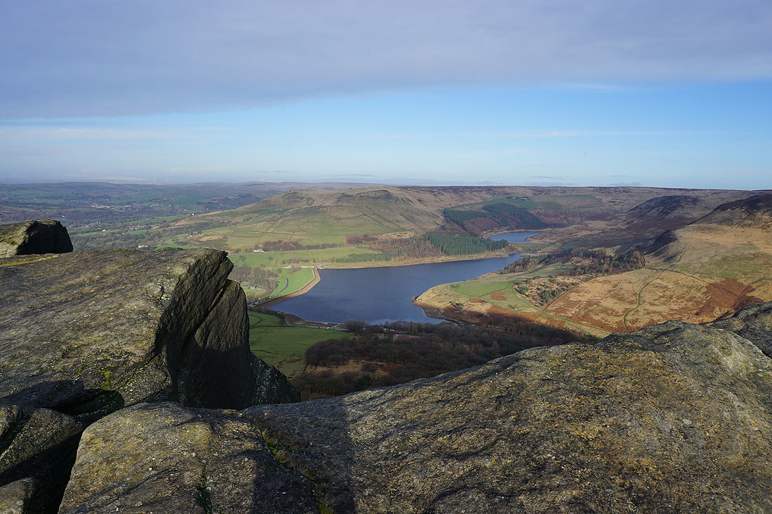
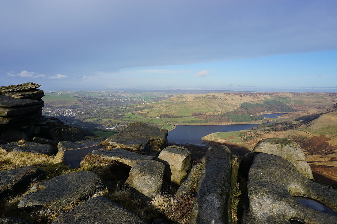
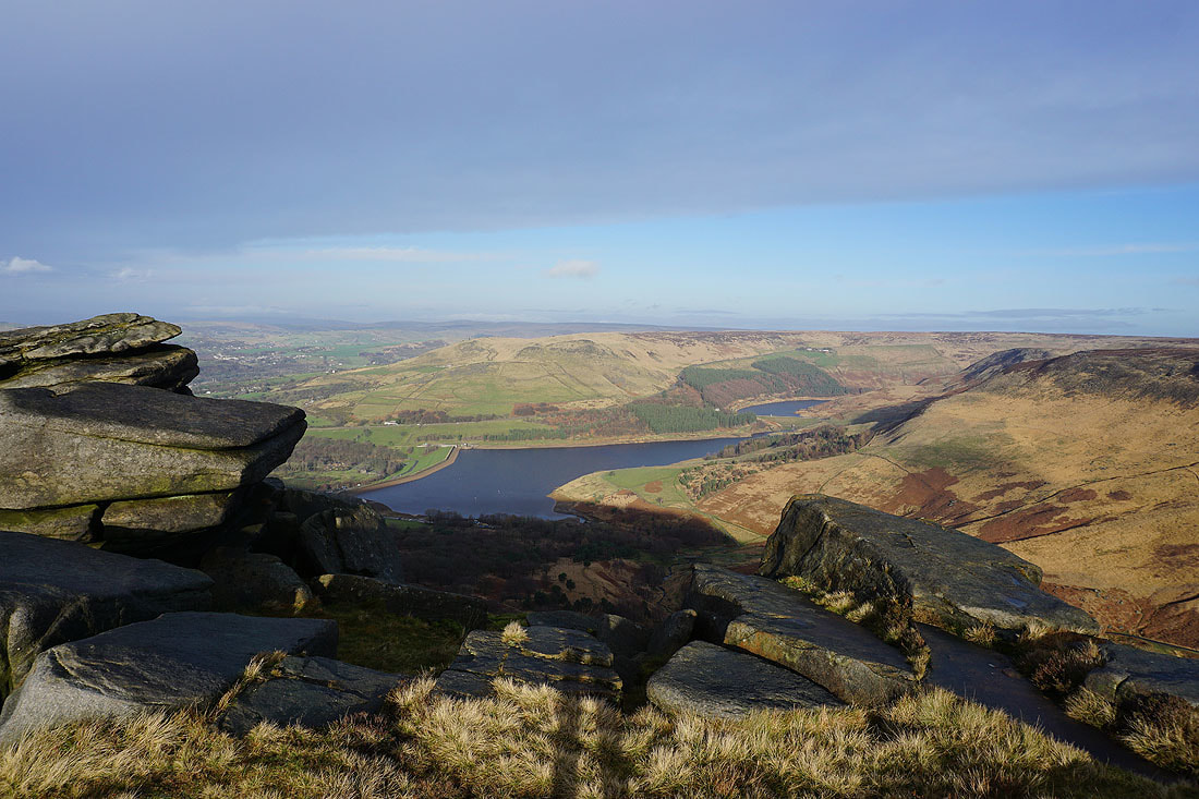
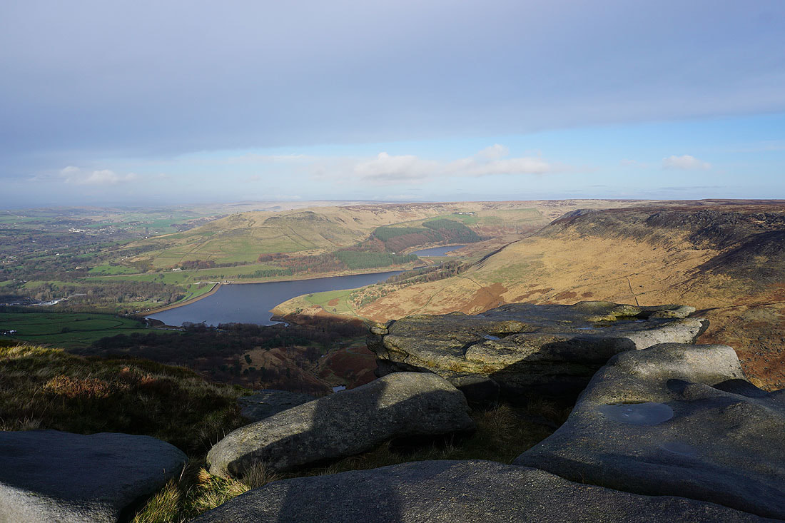
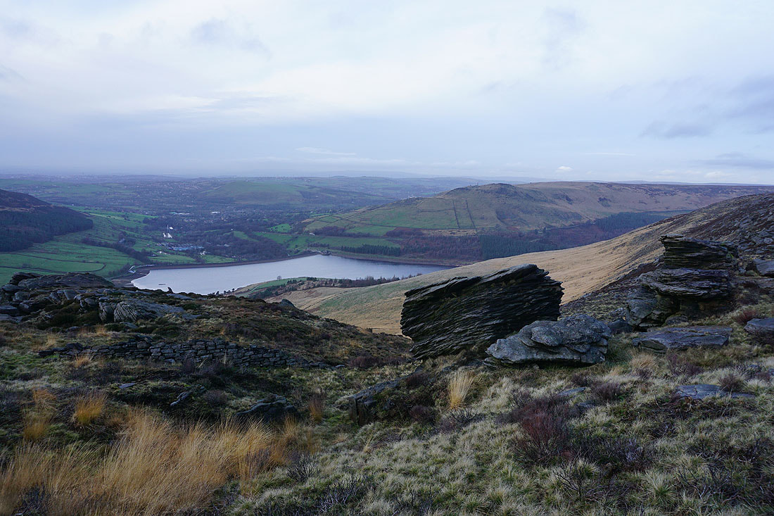
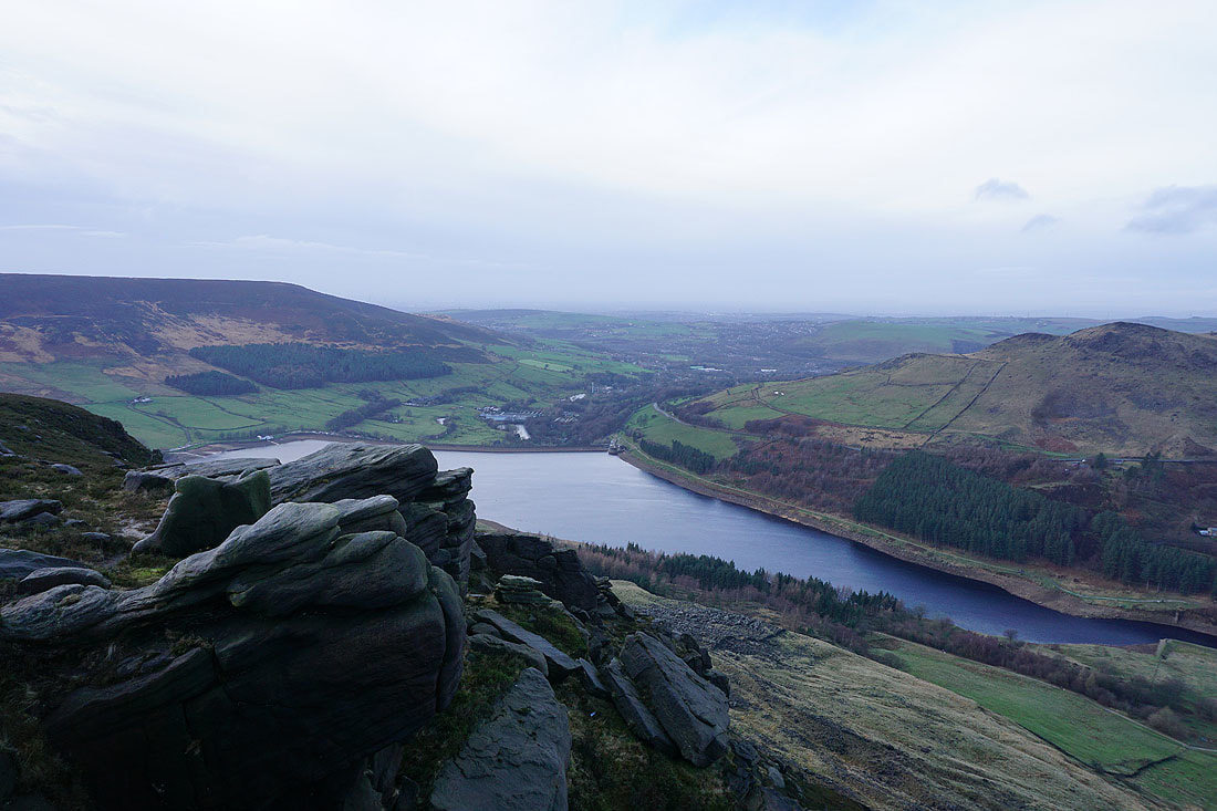
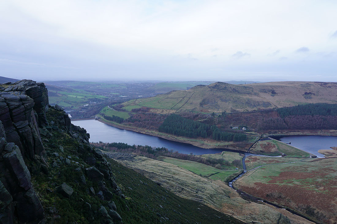
Alderman's Hill, Dove Stone Reservoir and Yeoman Hey Reservoir
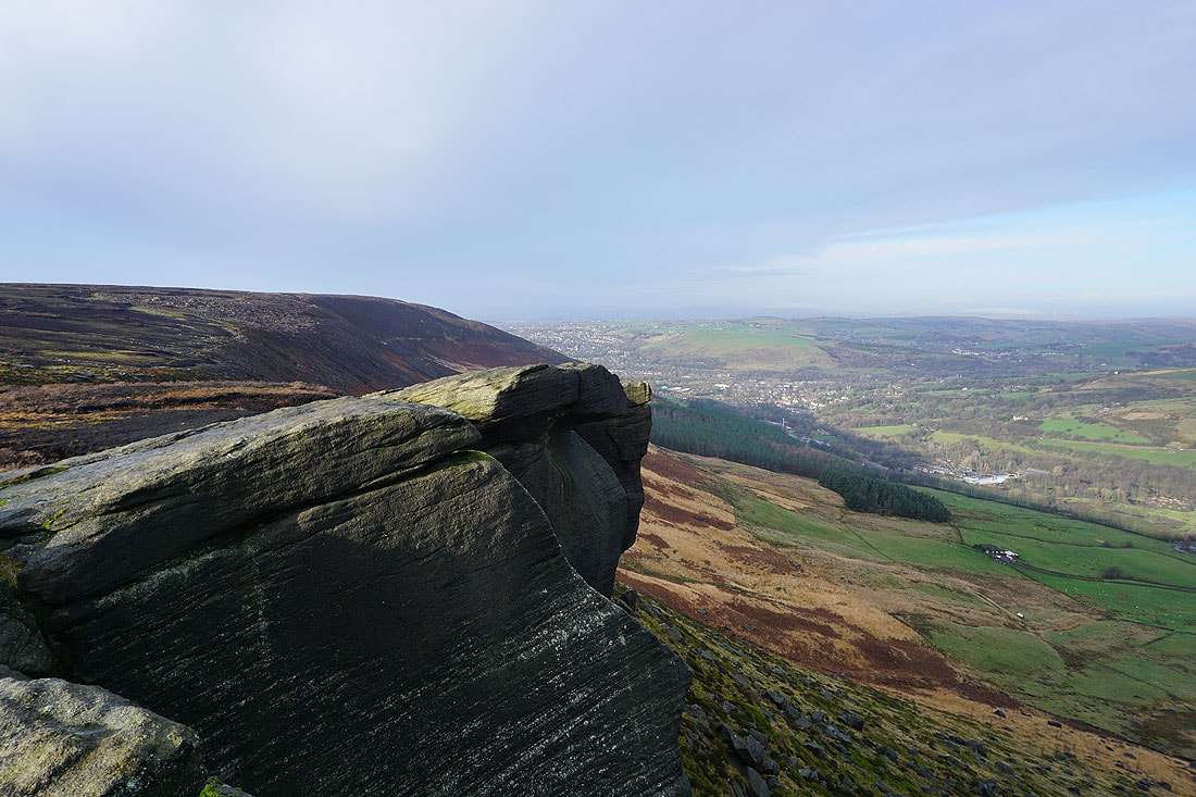
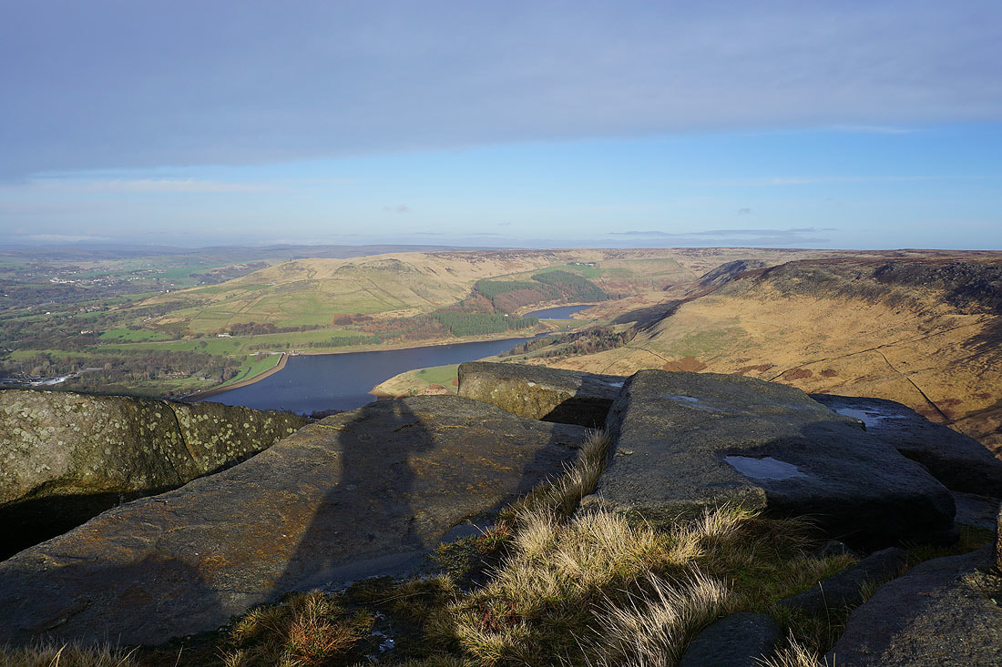
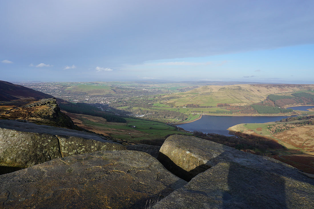
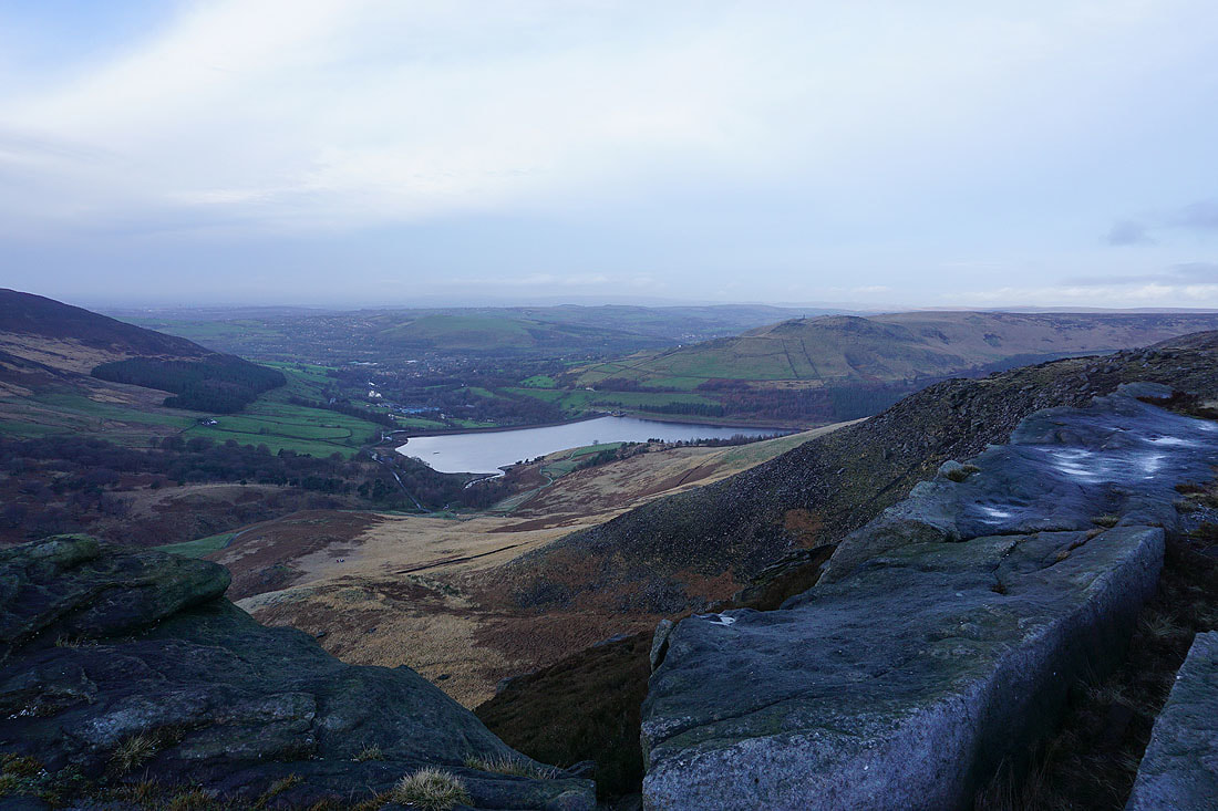
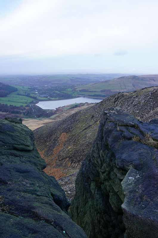
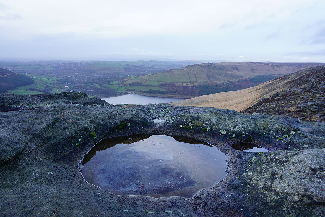
The same views from the top of Stable Stones Brow. I couldn't resist taking more than one with the great light and the sun on the boulders in front of me....
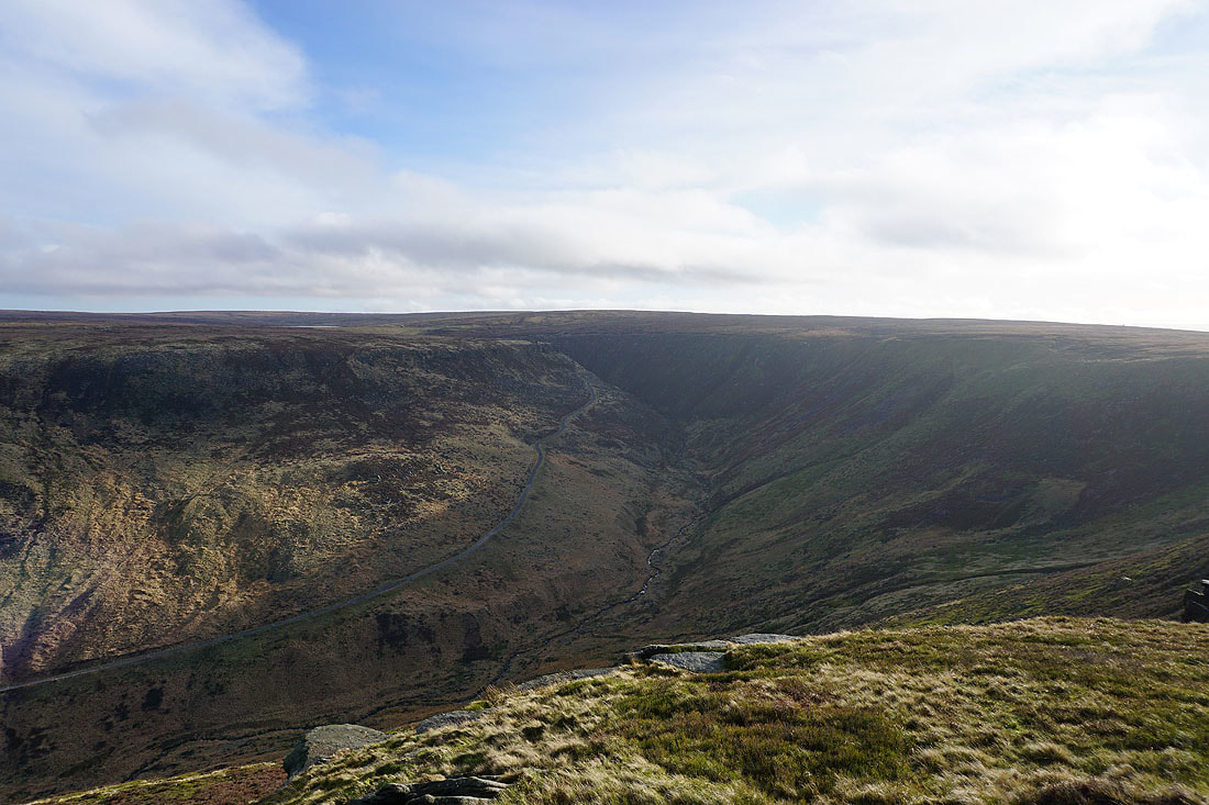
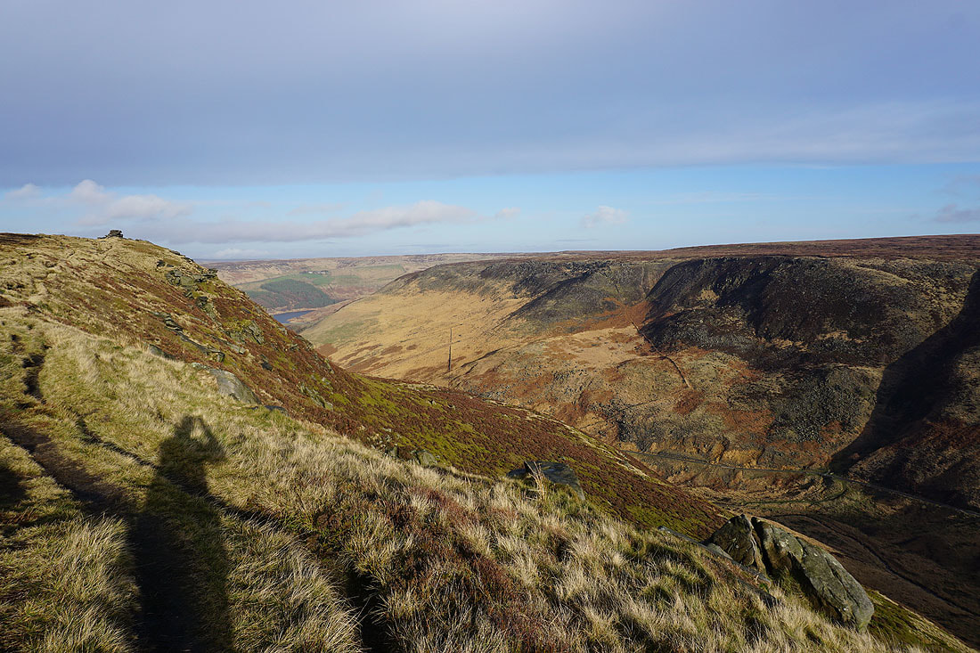
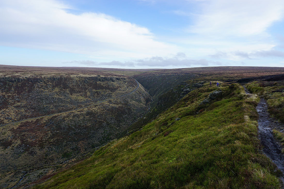
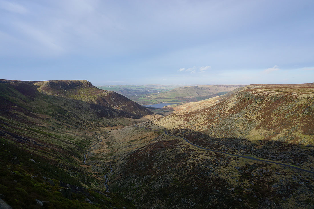
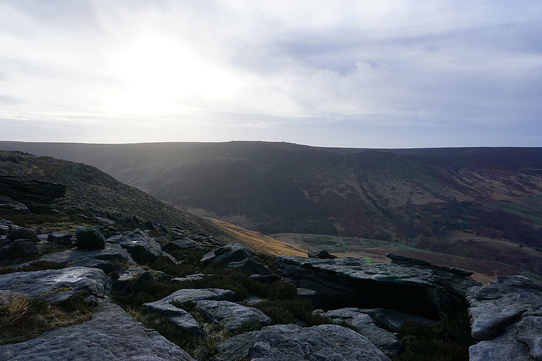
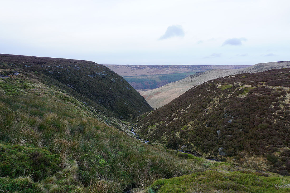
The valley of Chew Brook
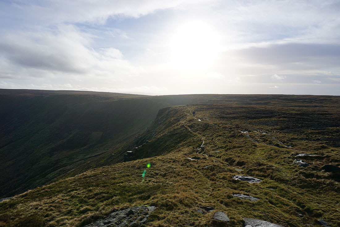
My route takes the path along its southern edge
One last shot before I move on
The colourful hillside of Charnel Holes on the other side of Chew Brook
Above Chew Brook as I head for Chew Reservoir
Looking back to Stable Stones Brow and Dove Stone Reservoir
Chew Reservoir
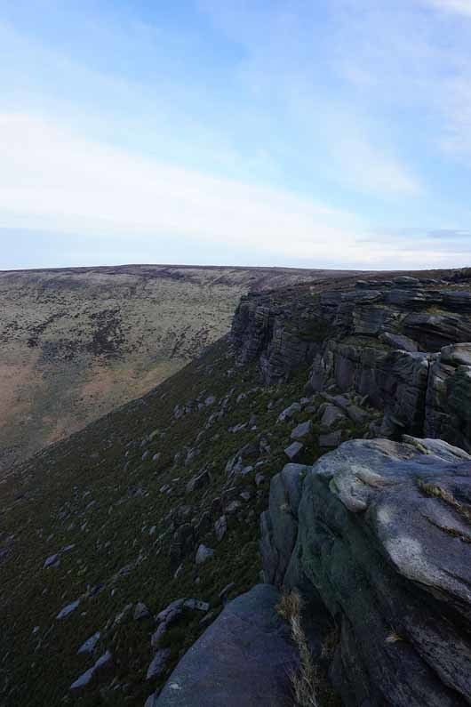
On the edge top path along Dish Stone Brow
Stable Stones Brow and Wimberry Crag on the other side of a hidden Chew Brook
Dove Stone Reservoir from above Charnel Clough..
A couple more shots of Dove Stone Reservoir and Alderman's Hill as I follow the edge north..
The sun makes an appearance as I look across to Stable Stones Brow
Alphin Pike, Dove Stone Reservoir and Alderman's Hill
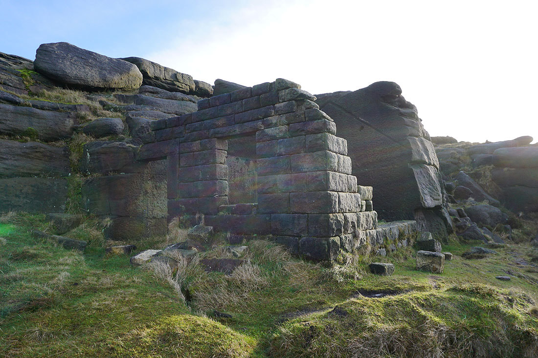
Bramley's Cot
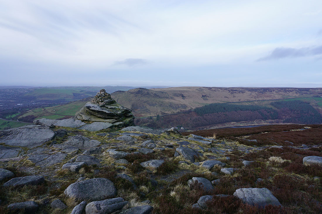
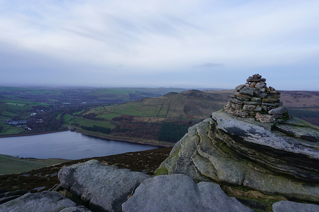
At the Cairn on Fox Stone
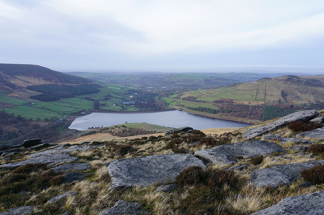
Dove Stone Reservoir and Alderman's Hill
Alphin Pike, Dove Stone Reservoir, Greenfield and Alderman's Hill from the top of Great Dove Stone Rocks
Dean Rocks
Looking across to Alderman's Hill from Dean Rocks
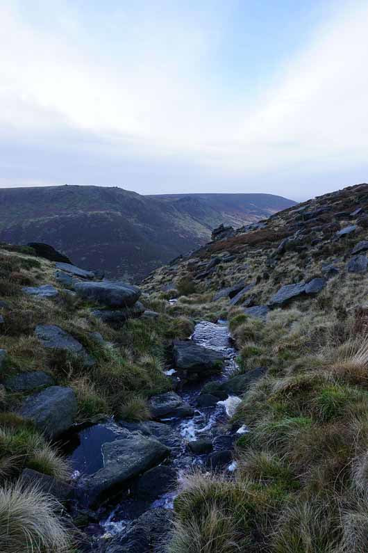
Ashway Clough
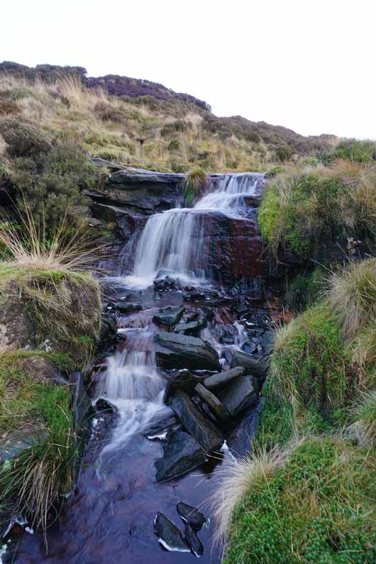
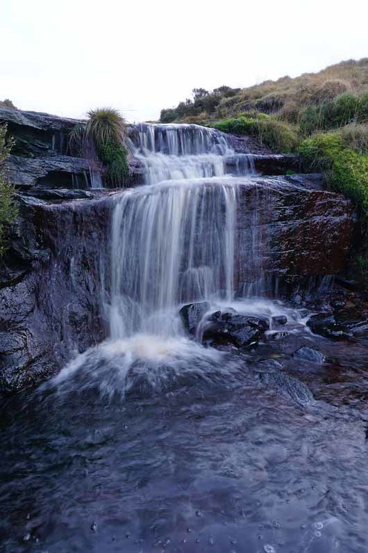
A little waterfall as I cross Ashway Brook
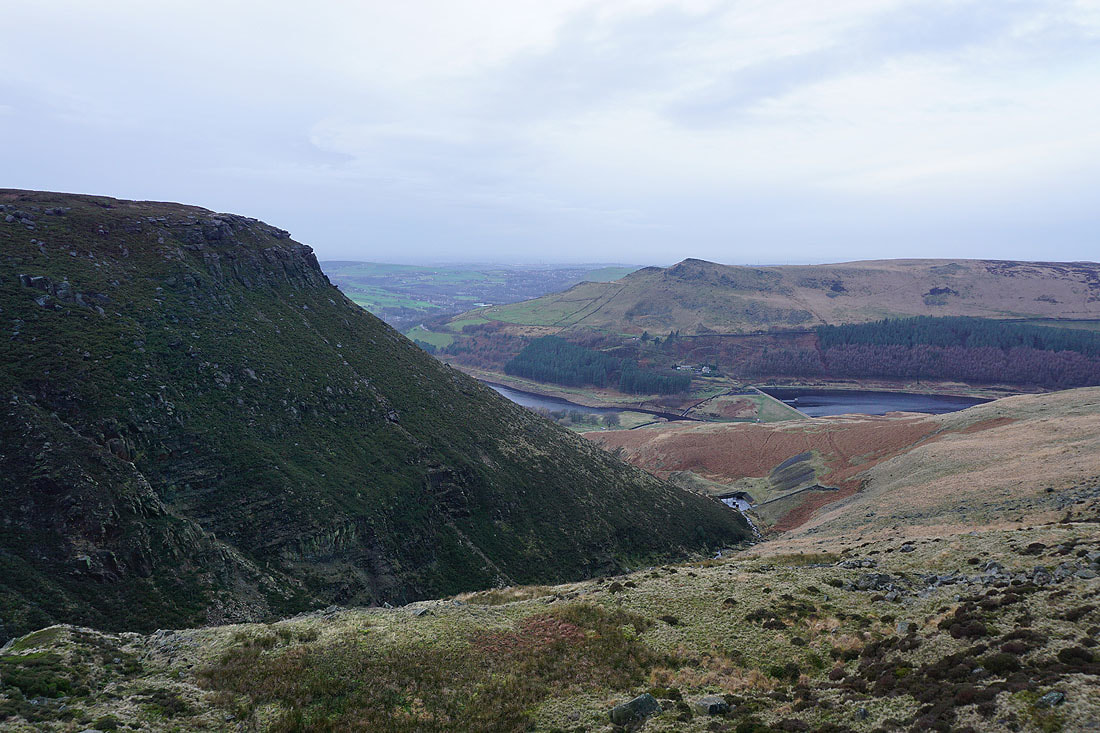
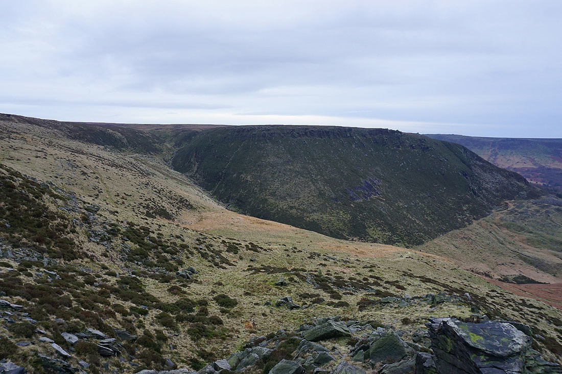
The steep hillside of Dean Rocks above Ashway Clough
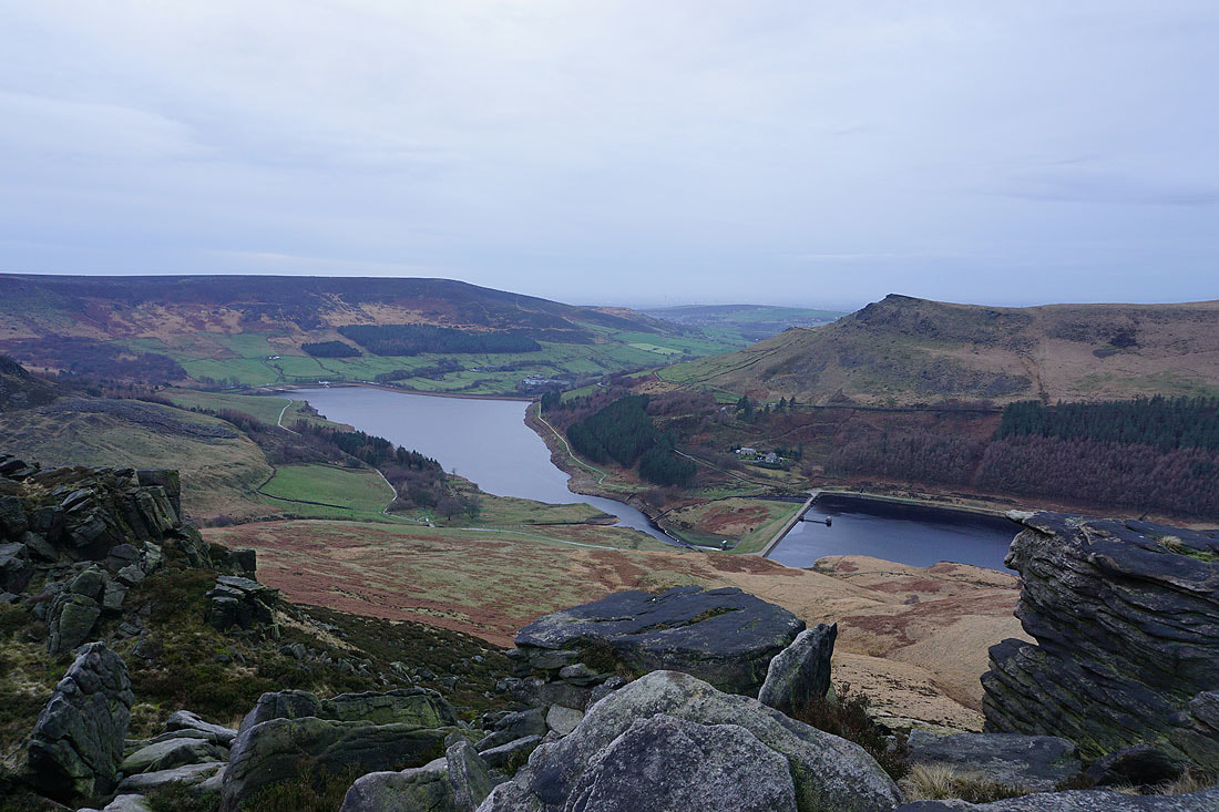
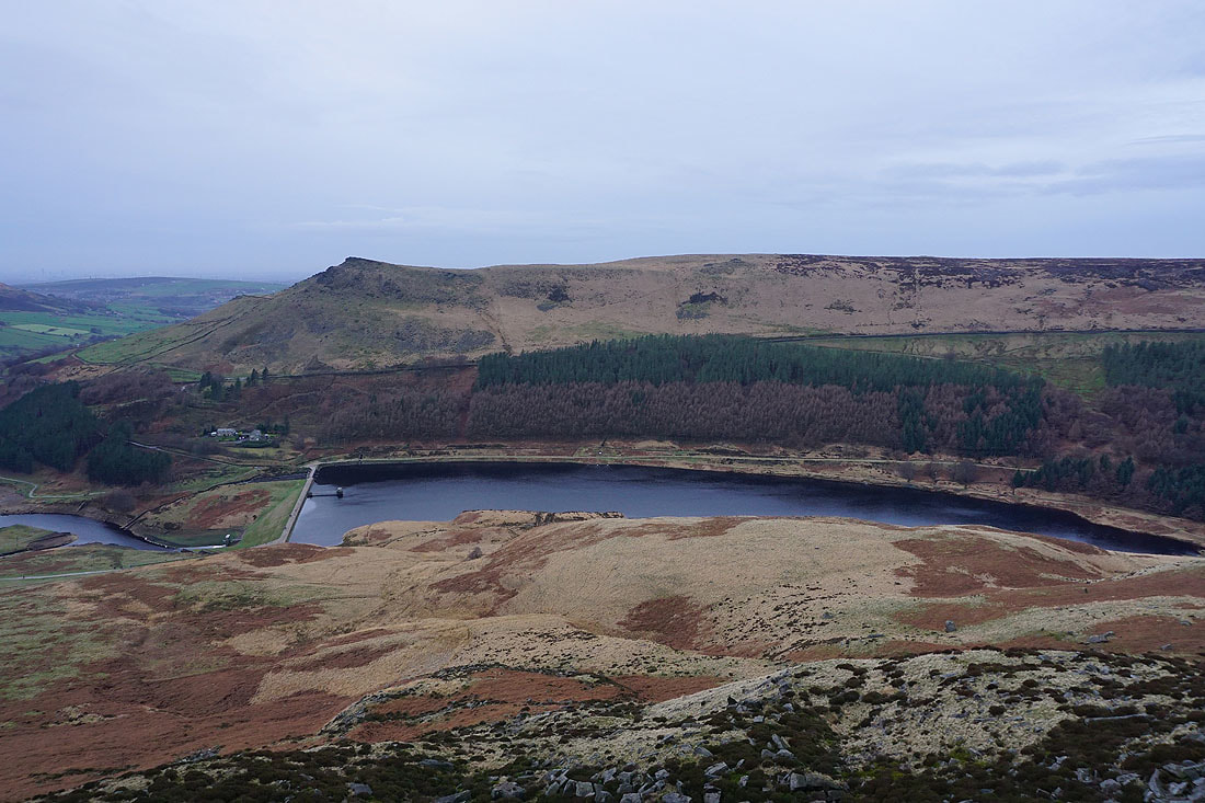
Alphin Pike, Dove Stone Reservoir, Alderman's Hill and Yeoman Hey Reservoir from Ashway Rocks
Alderman's Hill, Upper Wood Edge and Yeoman Hey Reservoir
Ashway Clough and Dean Rocks
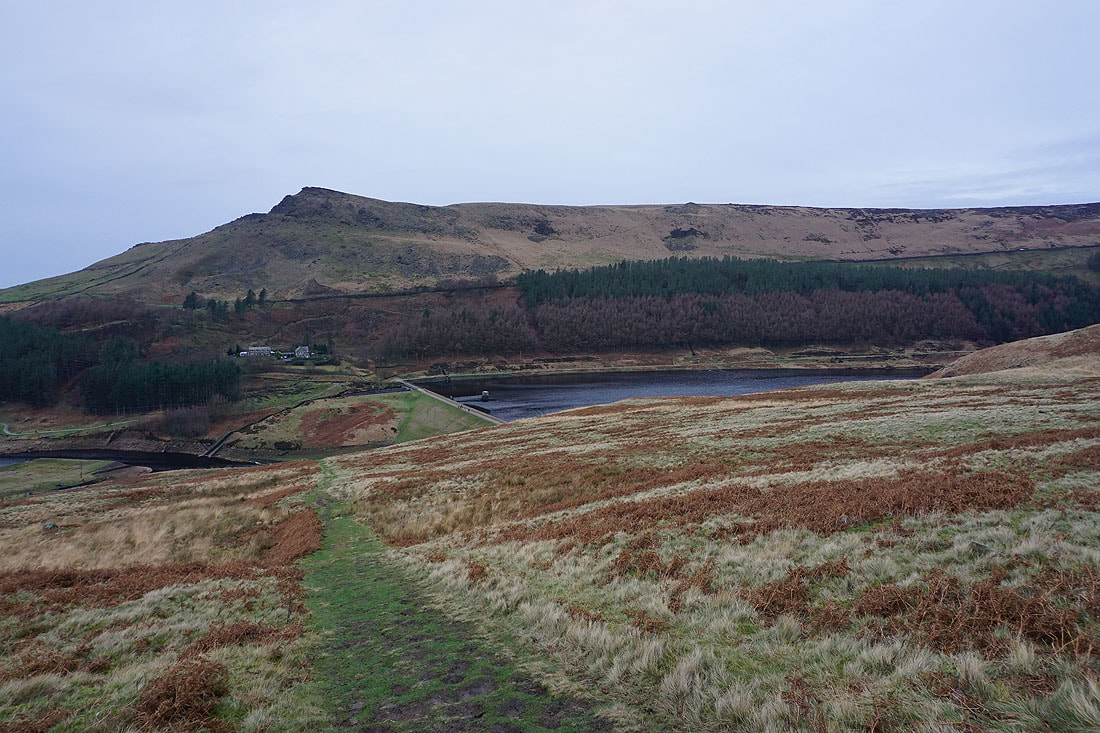
Heading down to Yeoman Hey Reservoir
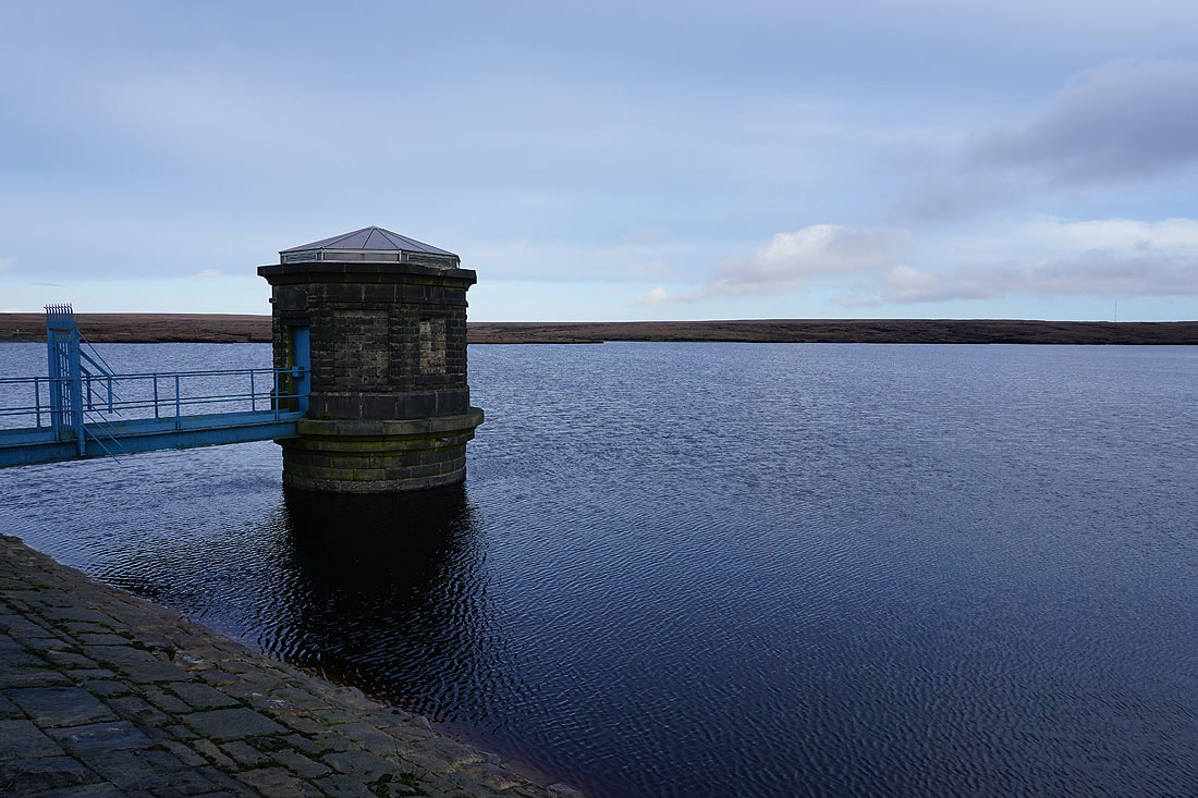
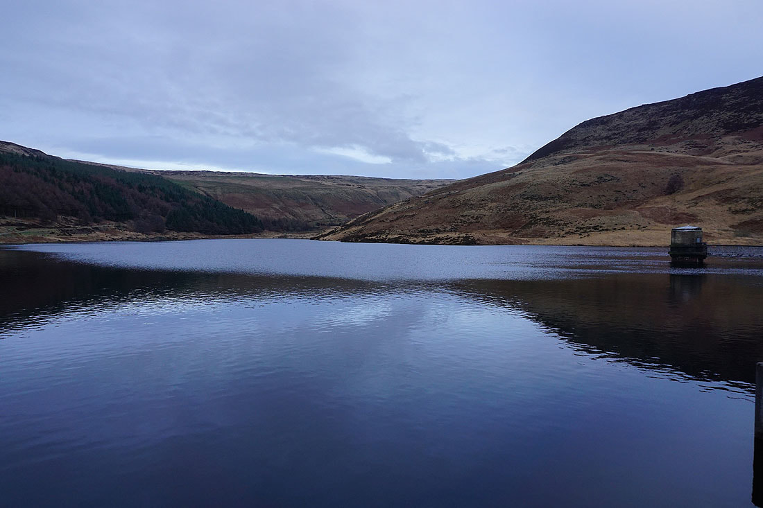
Yeoman Hey Reservoir from its dam
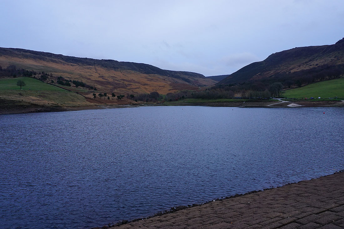
Back at Dove Stone Reservoir
