16th December 2023 - Weets Hill
Walk Details
Distance walked: 8.5 miles
Total ascent: 1340 ft
OS map used: OL21 - South Pennines
Time taken: 4 hrs
Route description: Foulridge-Hey-Hey Fold-Booth House Farm-High Lane-Copy Nook-Lister Well Road-Higher View Farm-Duck Pond Farm-Weets Hill-Weets House Farm-Gisburn Old Road-Pendle Way-Hollin Hall-Barnoldswick Road-Slipper Hill Reservoir-Reedymoor Lane-Foulridge Lower Reservoir-B6251-Foulridge
I hadn't planned on having a walk today, if I'd known the weather was going to be as good as it was I would have. The forecast was for a dull and overcast winter's day, even more so than yesterday, which was why I didn't do that walk from Burnsall today. Anyway, the cloud broke up and the skies cleared late in the morning, so I decided to have a walk from home to Weets Hill, taking the route that I do more often than not. Setting off around midday I enjoyed a beautiful winter's afternoon with quite a lot of blue skies and sunshine, on what was a very mild but windy day.
Setting off from home I walked to the western end of Station Road and took the footpath straight up the hill and across fields to the corner of Whitemoor Road. Here I turned right and took a lane past some houses, then a footpath on the right down to Hey Fold. The next bit was a little complicated as I took the footpath right at Hey Fold, then left across the crest of a little hill and past Hullet Hall down to County Brook Lane. I briefly walked down the lane, took a footpath on the left through a patch of woodland and across a bridge over County Brook, before resuming following footpaths north across fields past Wood End Farm to Booth House Farm, where I took a footpath up a field to High Lane. I then walked a short distance north along High Lane, then took a track on the left and followed it uphill past Copy Nook to the bridleway of Lister Well Road. I then walked down Lister Well Road until I reached a gate on the left and a footpath across access land to Higher View Farm at the top of Folly Lane. I then turned left and followed the bridleway up to Duck Pond Farm, then the footpath round the farm and onto access land, before turning right and following a path by a wall to the top of Weets Hill. After taking in the view I took the Pendle Way to reach Weets House Farm at the top of Gisburn Old Road. I then walked down Gisburn Old Road until I reached Star Hall Farm where I took the Pendle Way on the right across fields. I left the Pendle Way above Admergill Pasture Cottage for a footpath by a wall, before crossing the wall and taking a footpath down through fields to Hollin Hall on Barnoldswick Road. I crossed the road and took the footpath opposite down through fields to where it meets the lane by Slipper Hill Reservoir. I then took the footpath round Slipper Hill Reservoir to reach a track past Sand Hall to reach Reedymoor Lane, which I crossed to reach Foulridge Lower Reservoir. After walking north by Foulridge Lower Reservoir I took a ladder stile on the left for a footpath up across fields to the B6251 for a return to Foulridge and home.
Route map
© Crown copyright. All rights reserved. License number PU 100034184.
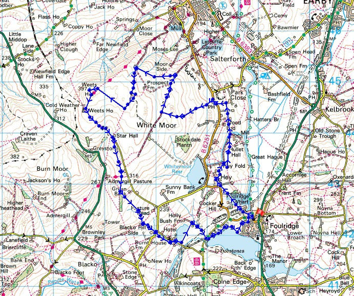
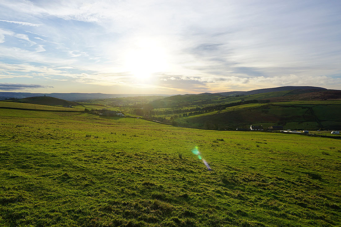
Leaving Foulridge behind with Boulsworth Hill in the distance
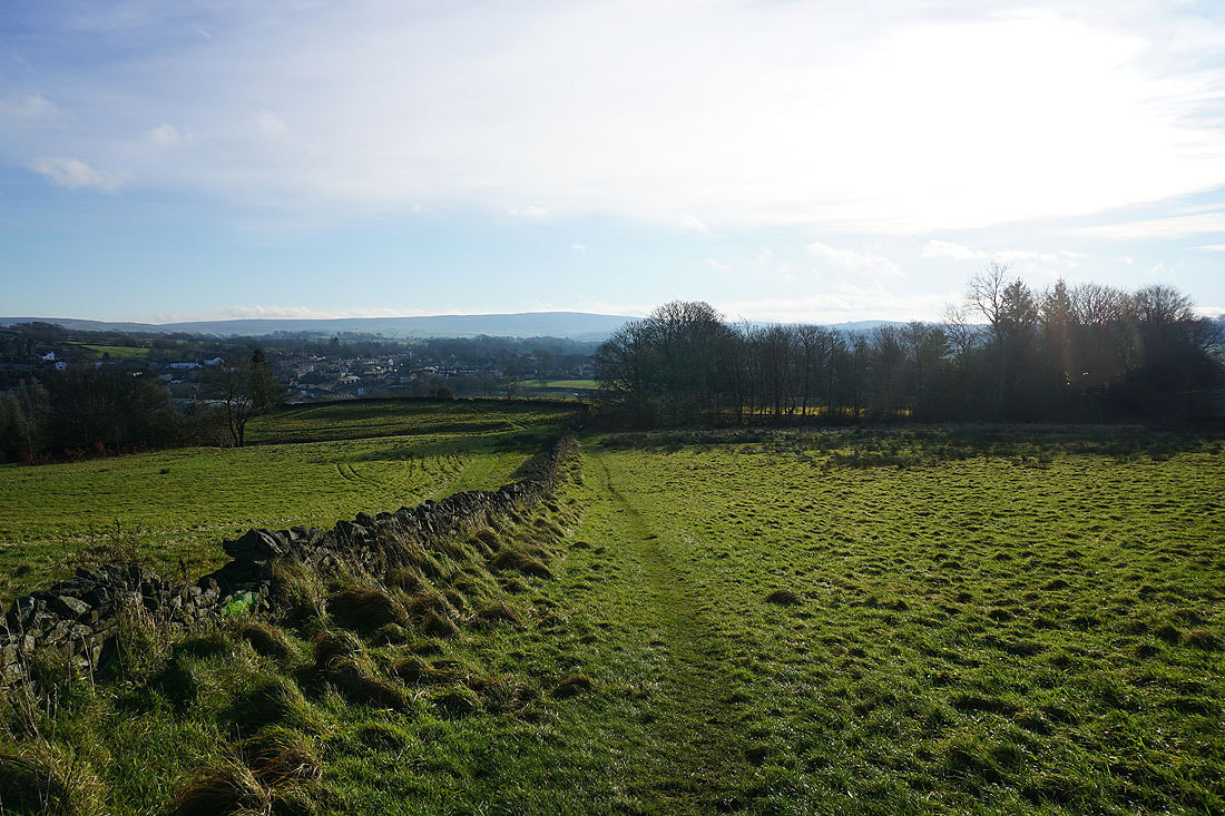
Through the hillside hamlet of Hey
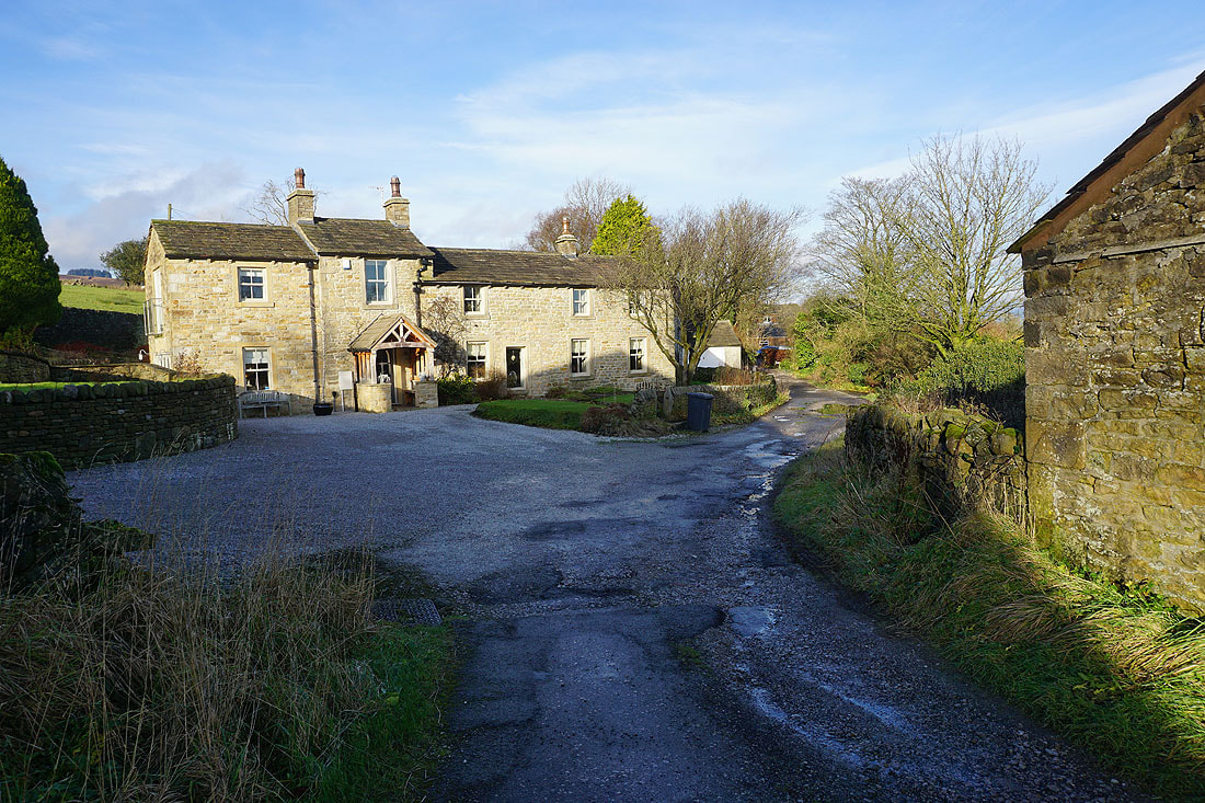
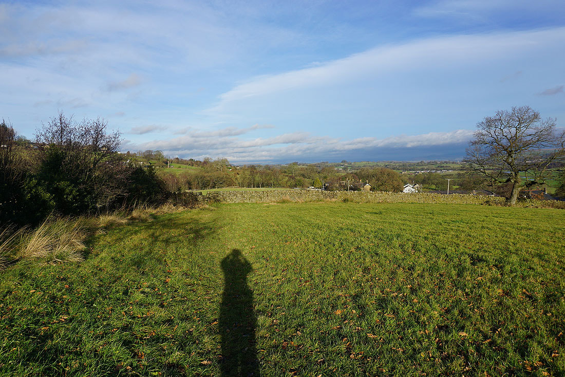
Taking the path north to County Brook..
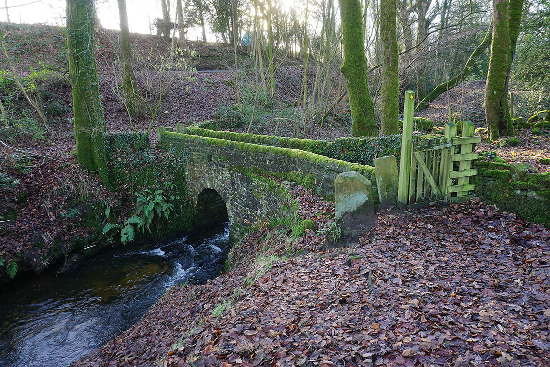
The footbridge over County Brook
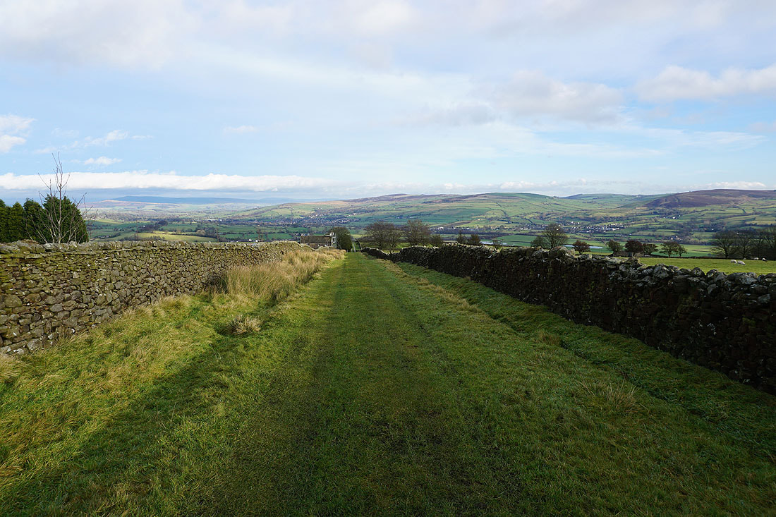
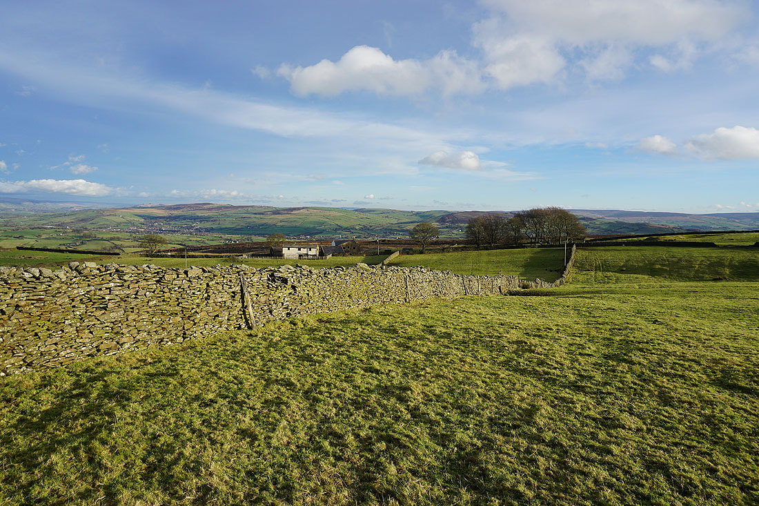
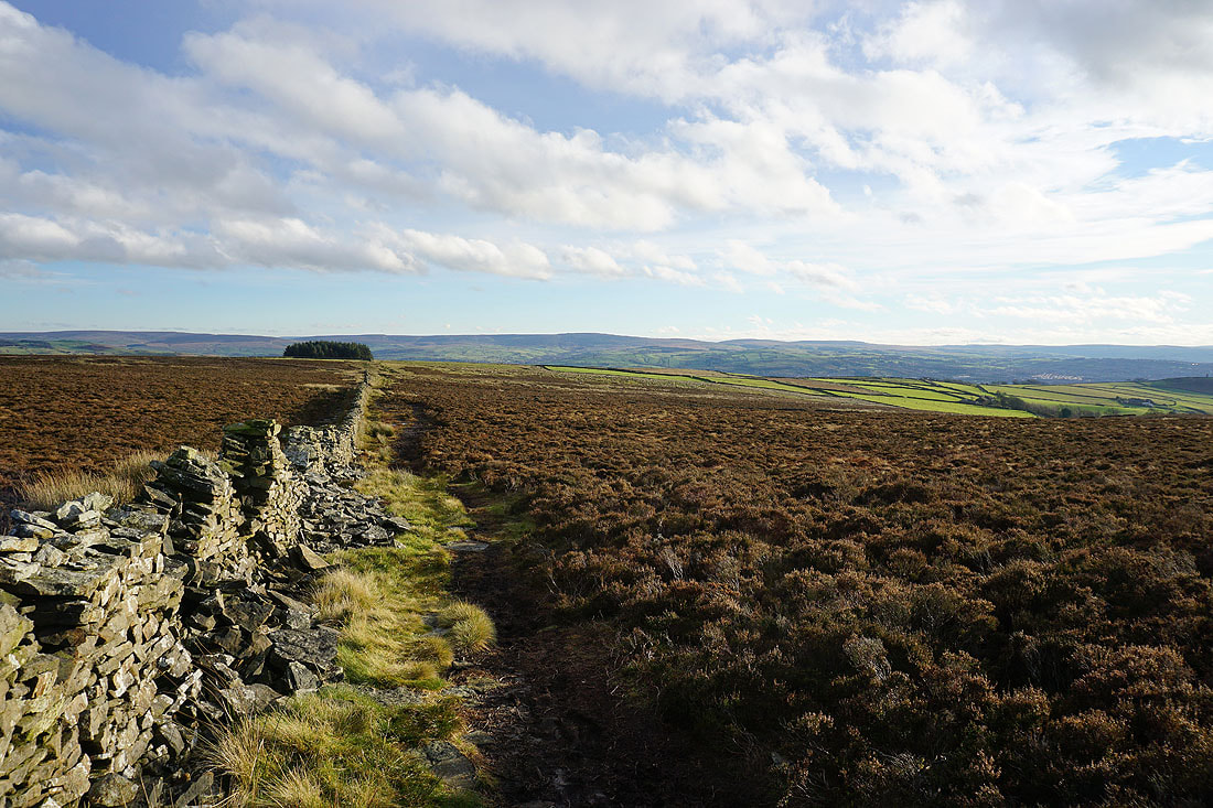
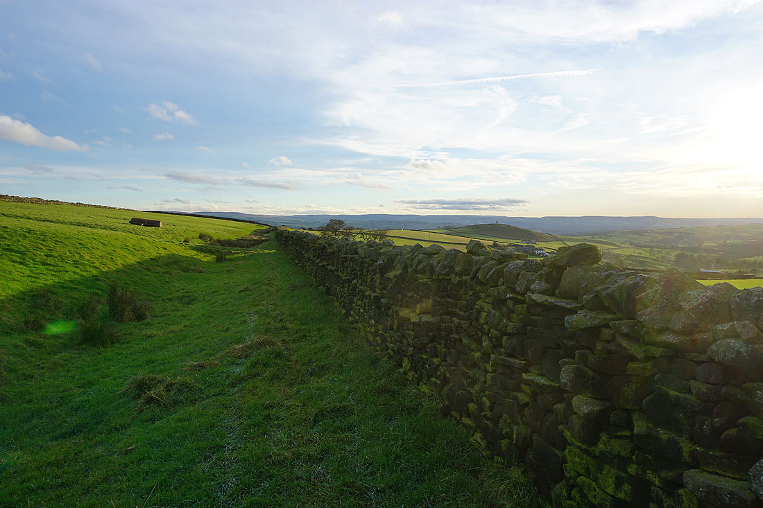
Bleara Moor, Kelbrook and Kelbrook Moor as I take the path from Booth House Farm up to High Lane
On the track past Copy Nook up onto Lad Lowe Hill
Looking back with Barden Moor, Thornton Moor and Bleara Moor in the distance
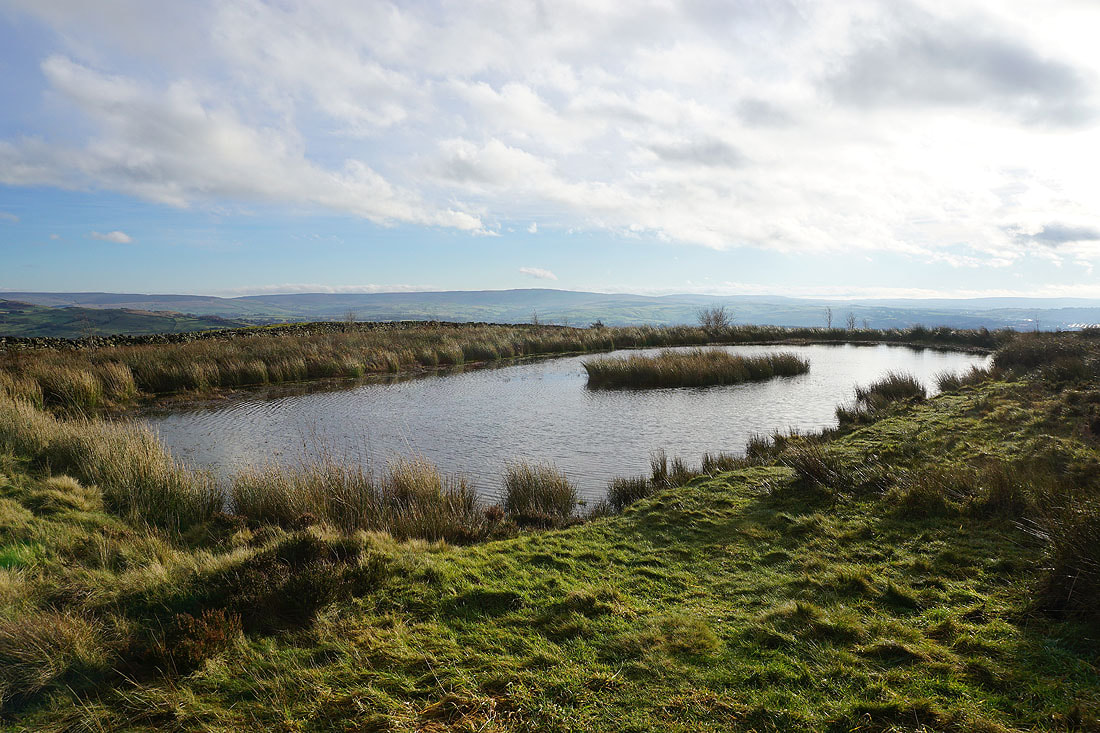
Boulsworth Hill from the pool on Lad Lowe Hill
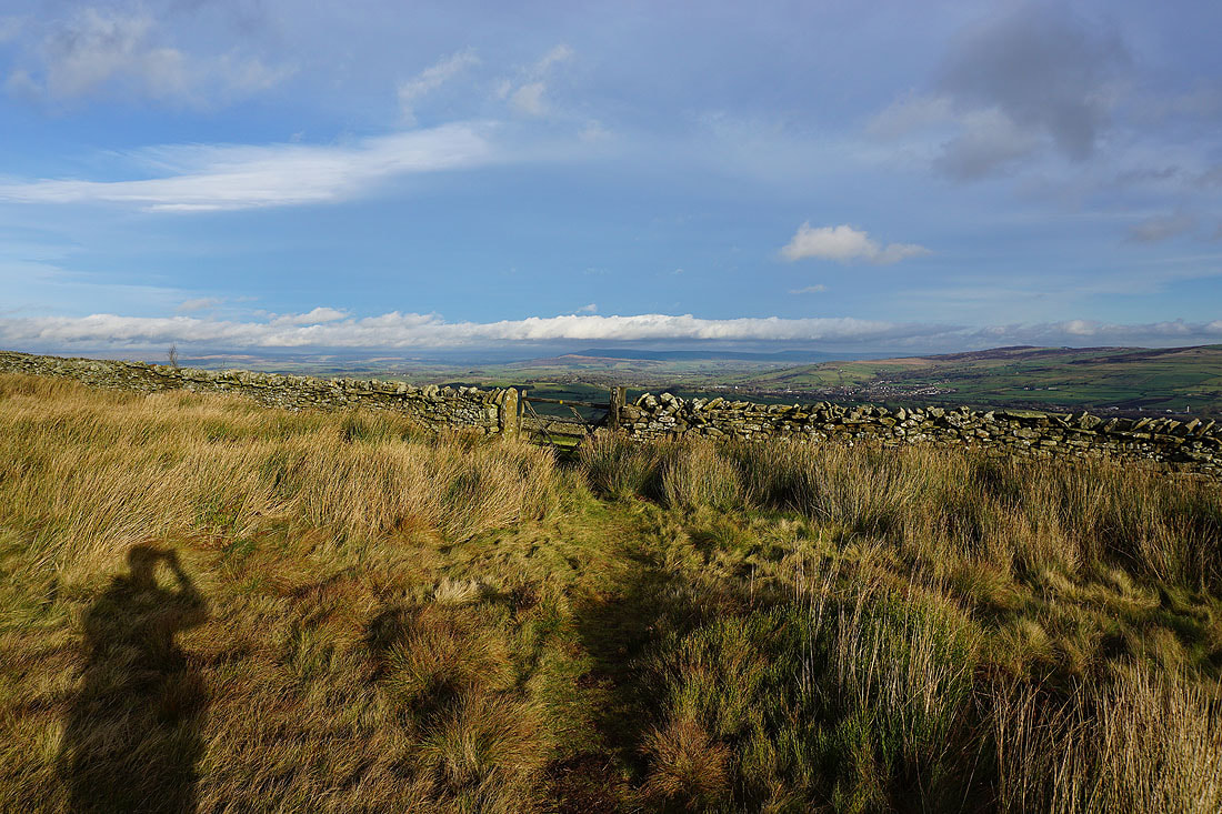
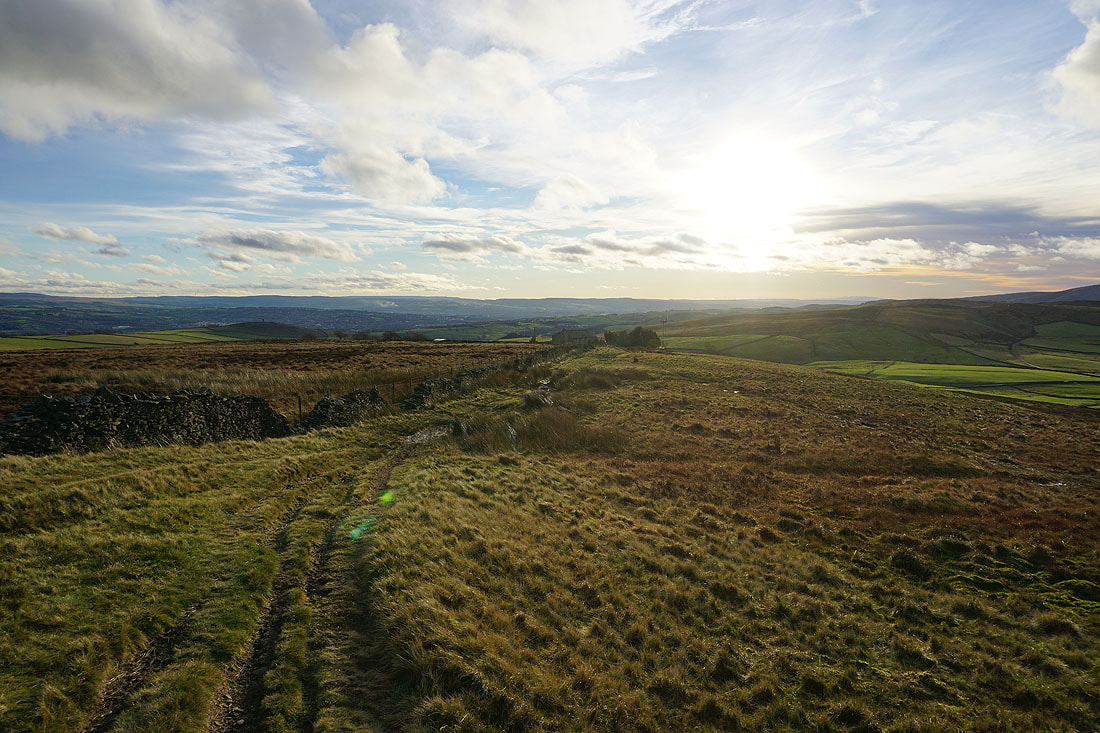
Barden Moor in the distance from the gate onto access land on Lad Lowe Hill
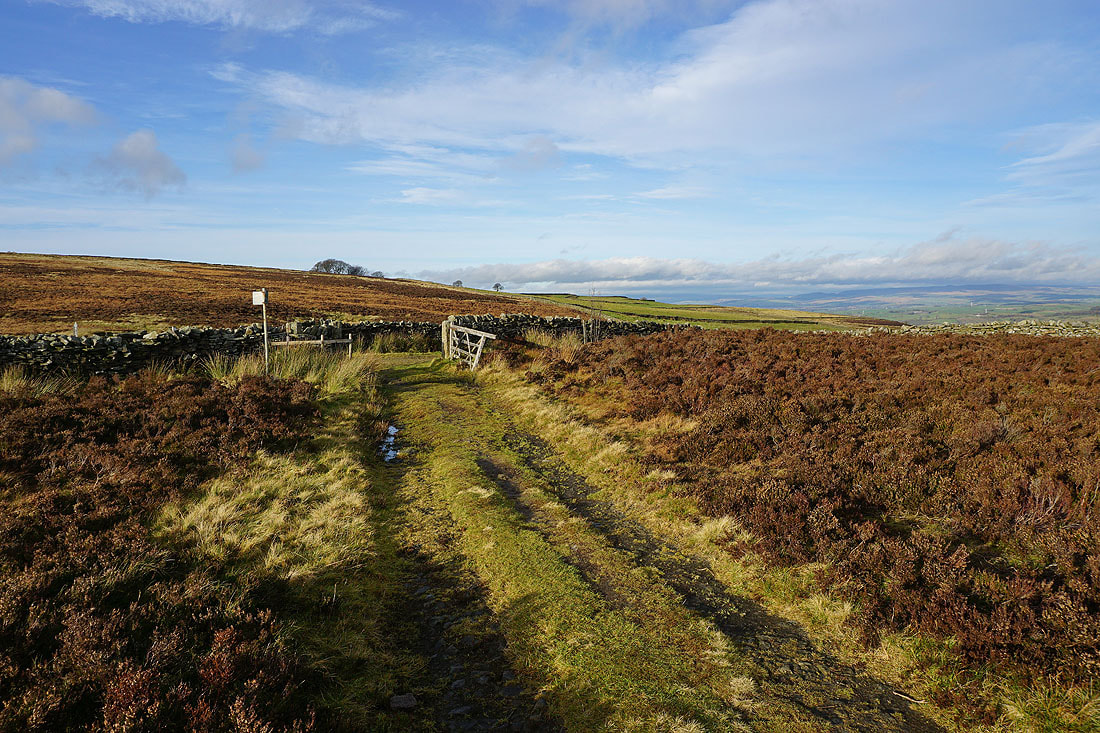
Onto the bridleway of Lister Well Road
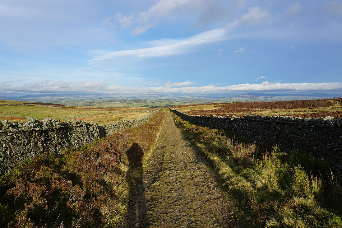
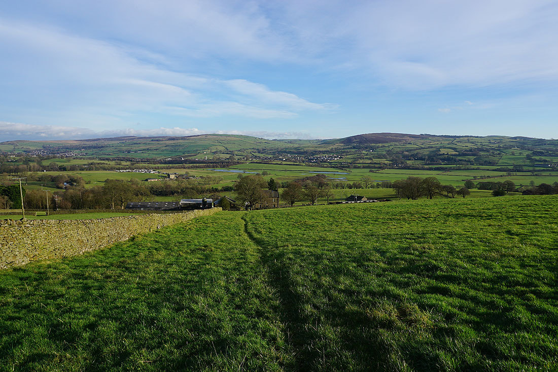
Heading down Lister Well Road with the moorland around Malhamdale and Wharfedale in the distance
Barden Moor and Thornton Moor from the path across the hillside from Lister Well Road to Higher View Farm. Great looking sky.
Heading up the bridleway to Duck Pond Farm
Looking back down the bridleway and I can just about make out the moors around Settle and Malham in the distance
and across fields to Prospect Farm, with Earby, Thornton Moor, and Bleara Moor in the distance
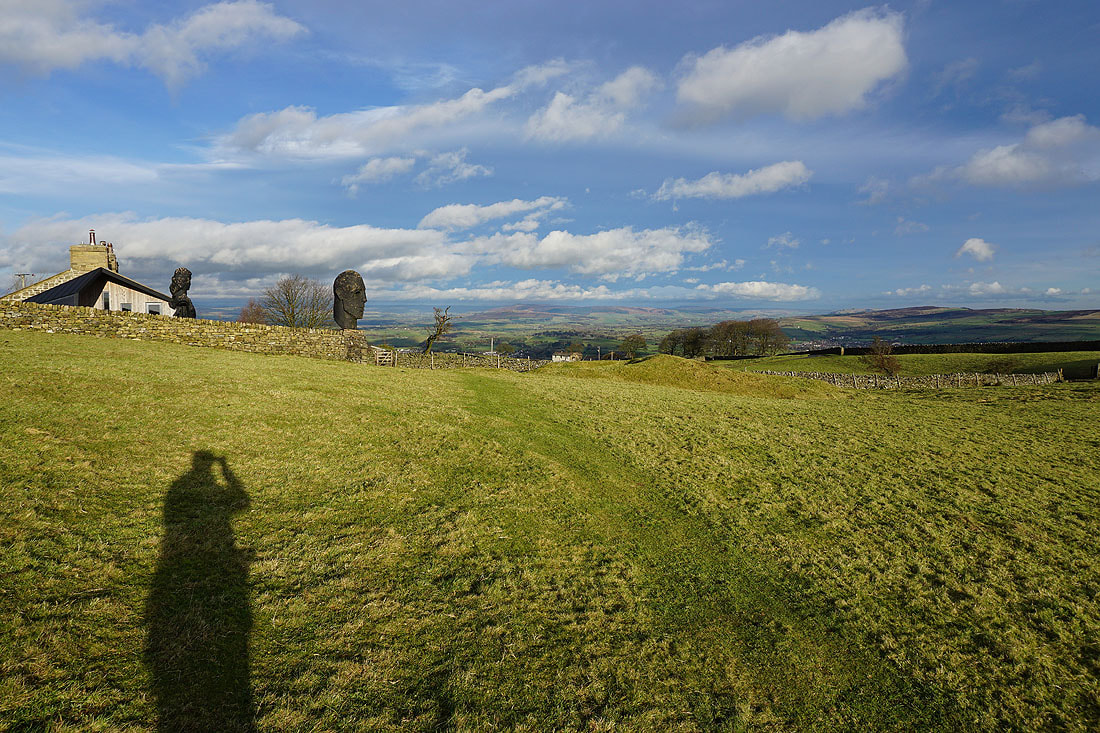
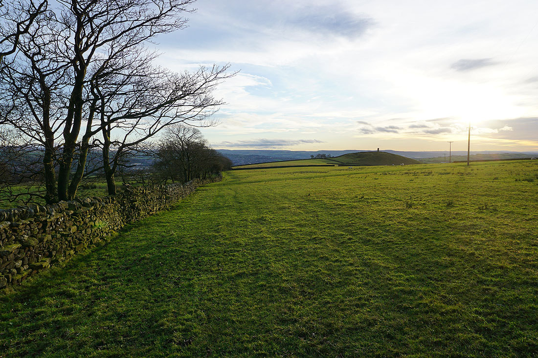
The sculptures stand watch at Duck Pond Farm
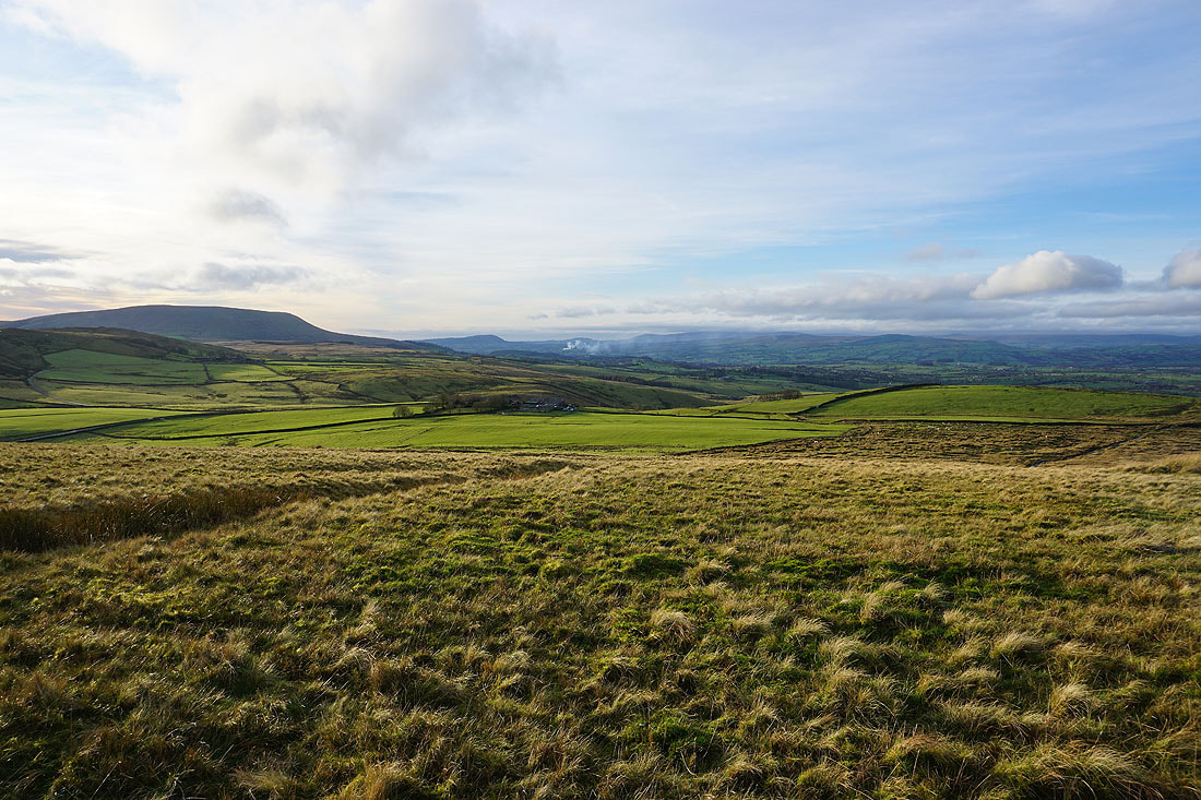
Past Duck Pond Farm and onto access land on Weets Hill. Pendle Hill in the distance.
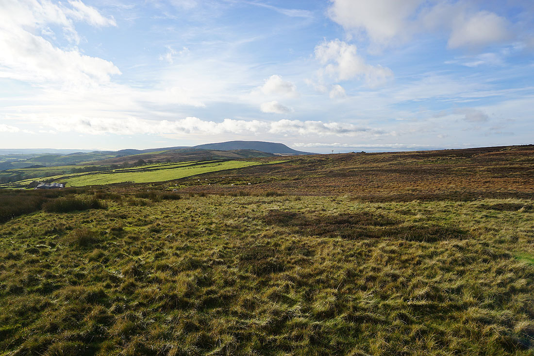
Blacko Hill and the Forest of Pendle, with the moors above Burnley in the distance
Looking back to Boulsworth Hill in the distance as I head for the eastern end of the top of Weets Hill
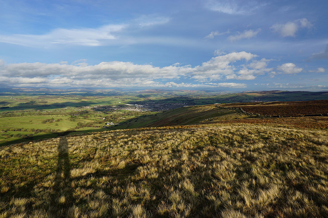
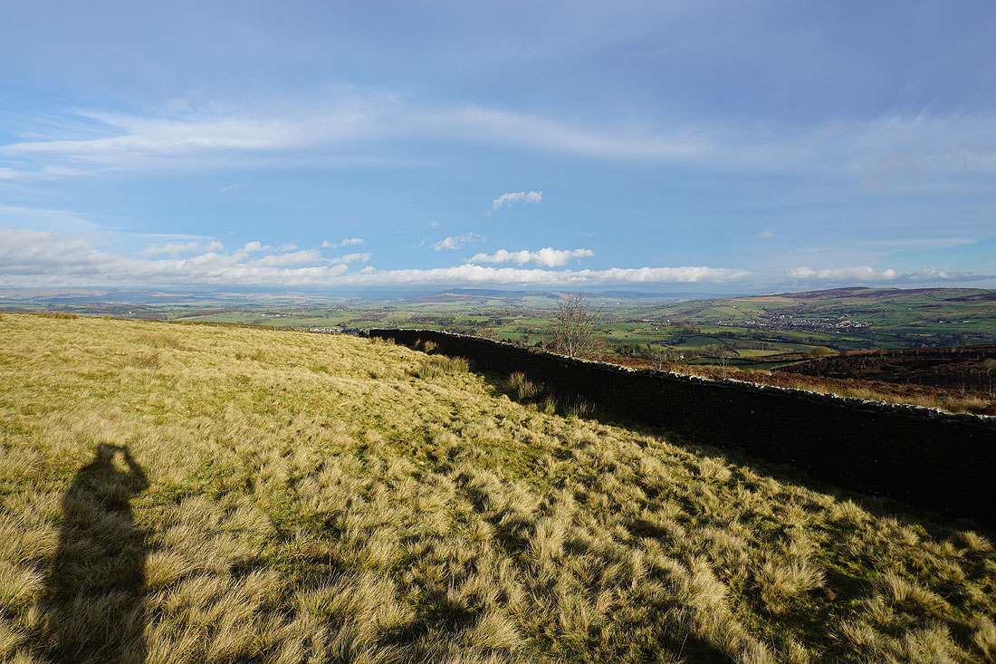
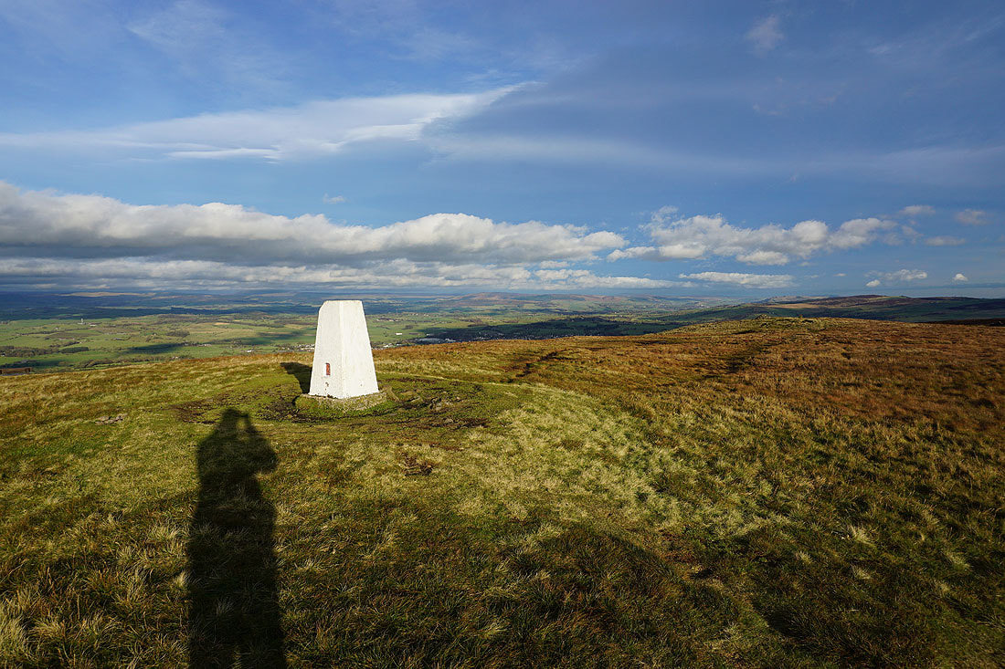
At the eastern end of the top of Weets Hill. The town of Barnoldswick below with Barden Moor and Pinhaw Beacon in the distance. I love the contrast of the low sun with its long shadows, and it shining on the clouds.
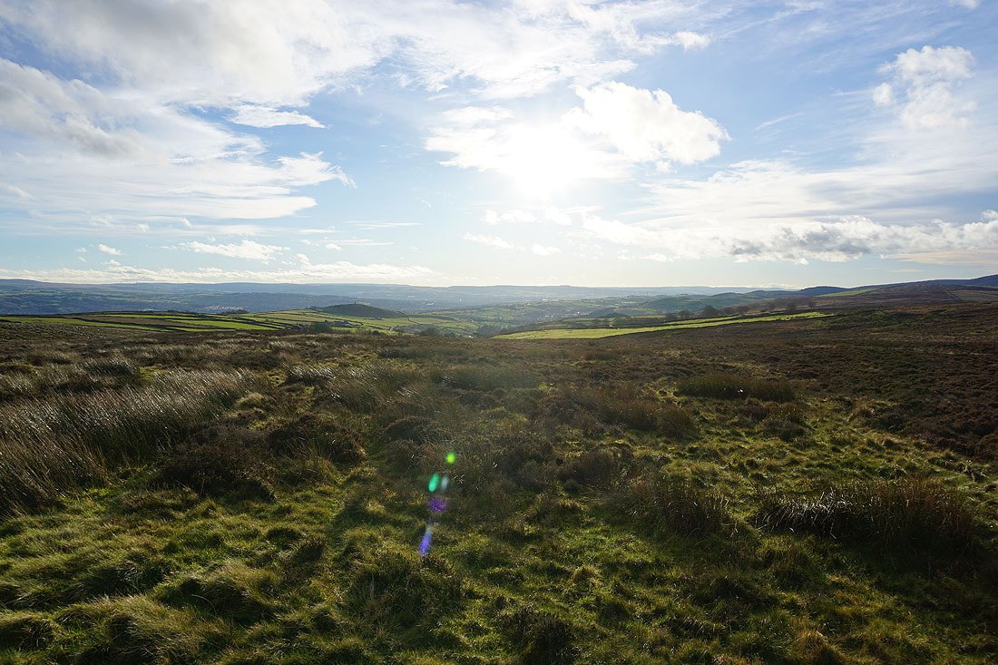
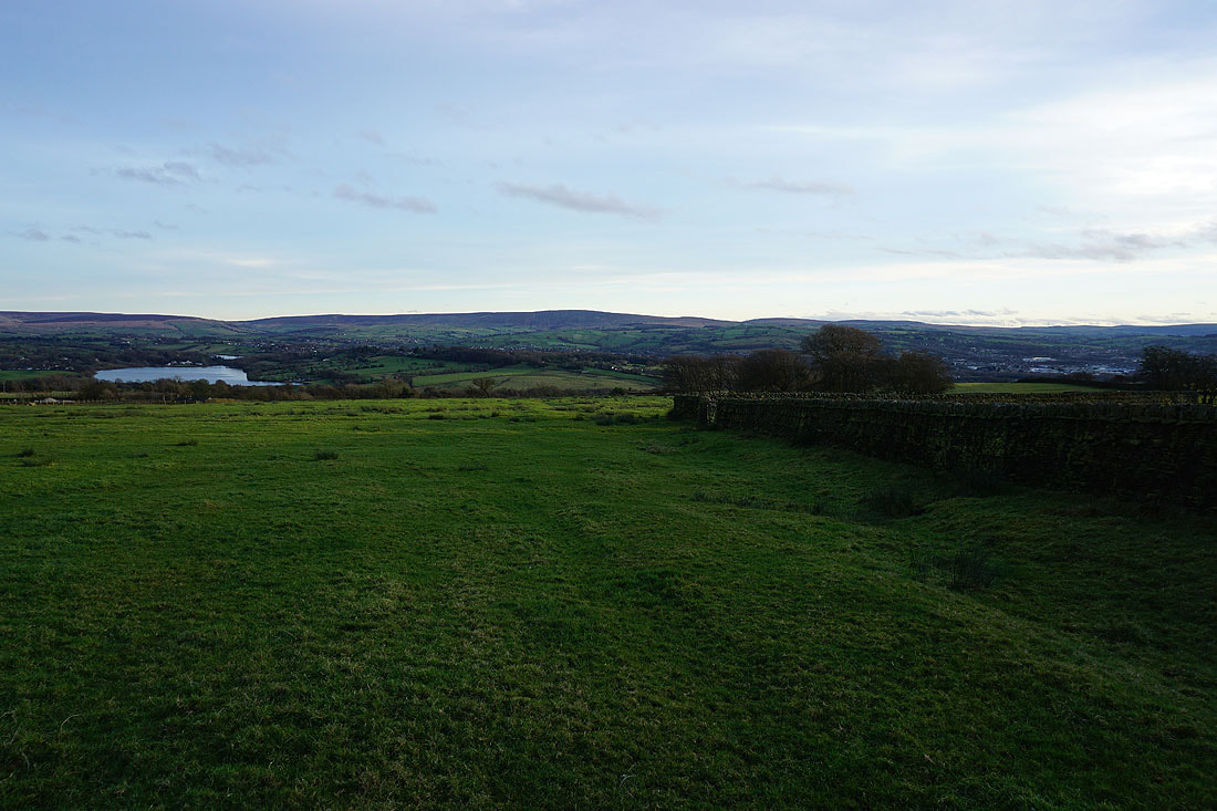
Looking north across the Ribble Valley to the western fells of the Yorkshire Dales, which are hidden under cloud
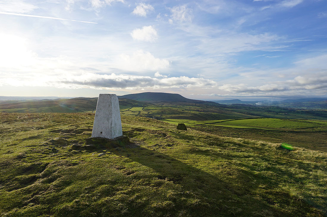
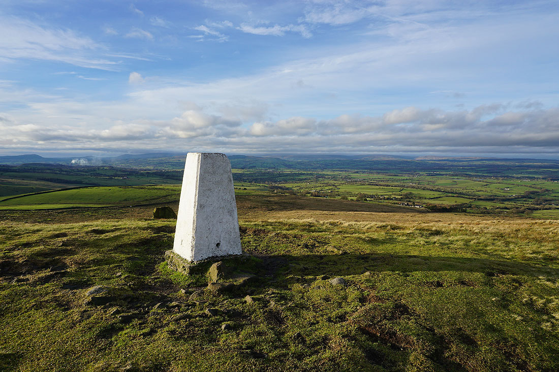
Pendle Hill from the trig point on Weets Hill
Barden Moor to the northeast
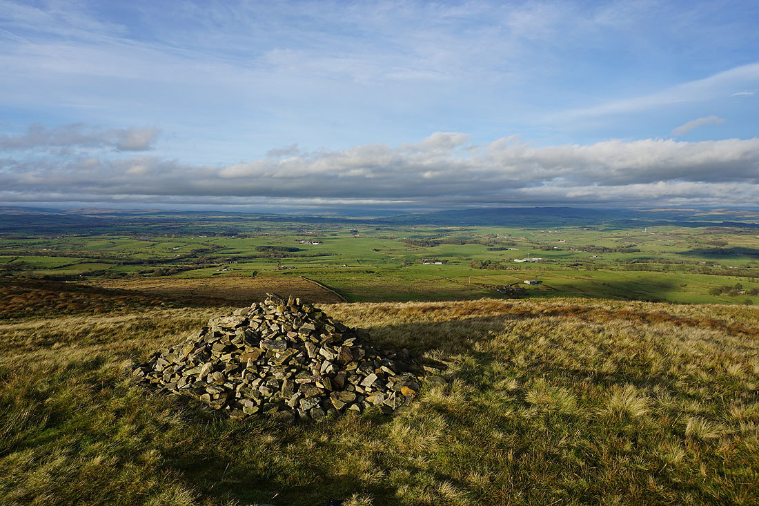
Looking across the Ribble Valley to the Forest of Bowland
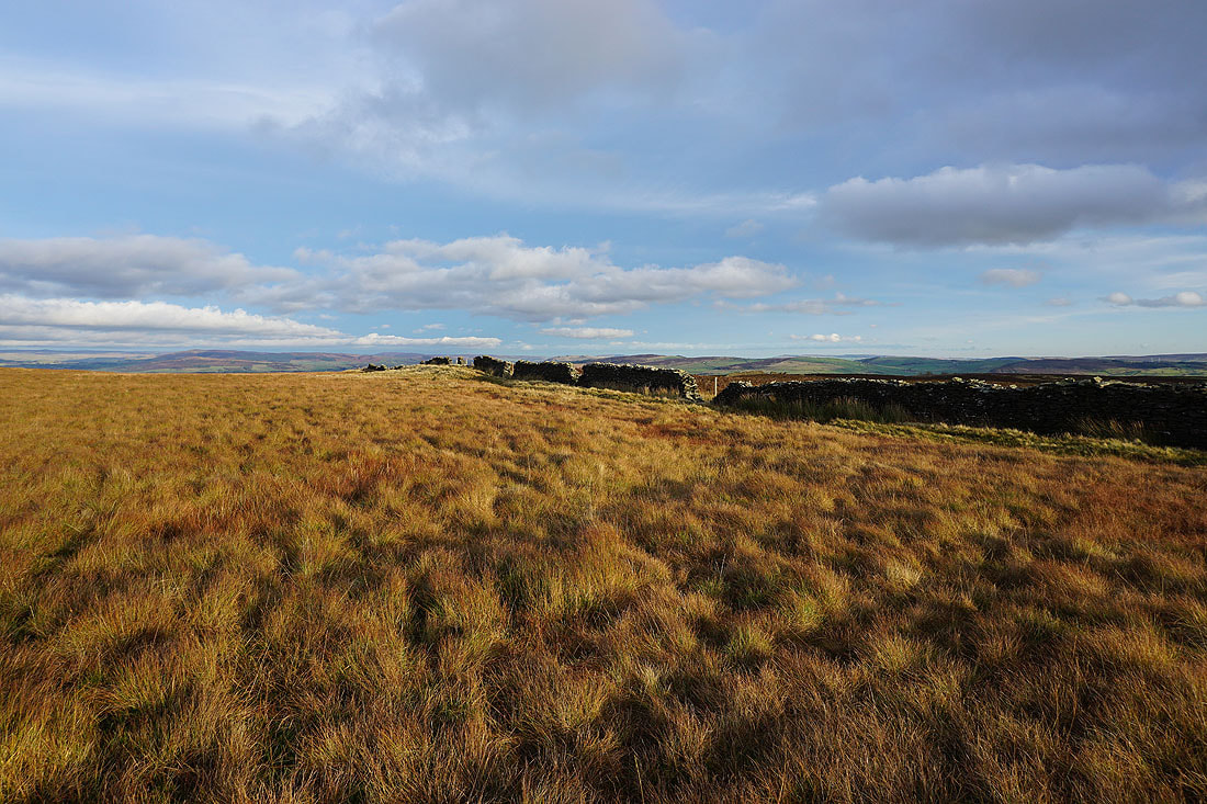
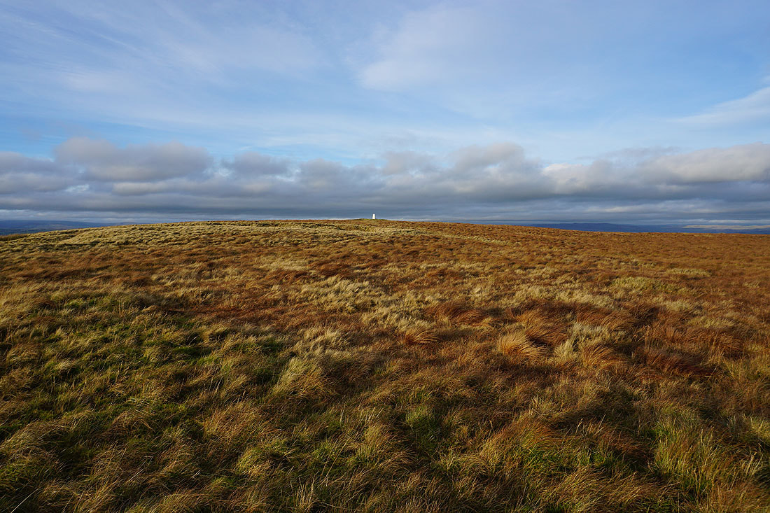
The moorland colours of winter on Weets Hill..
Heading for Weets House Farm
Pendle Hill, the Ribble Valley, and the southern fells of the Forest of Bowland to the west
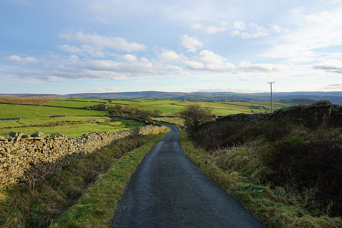
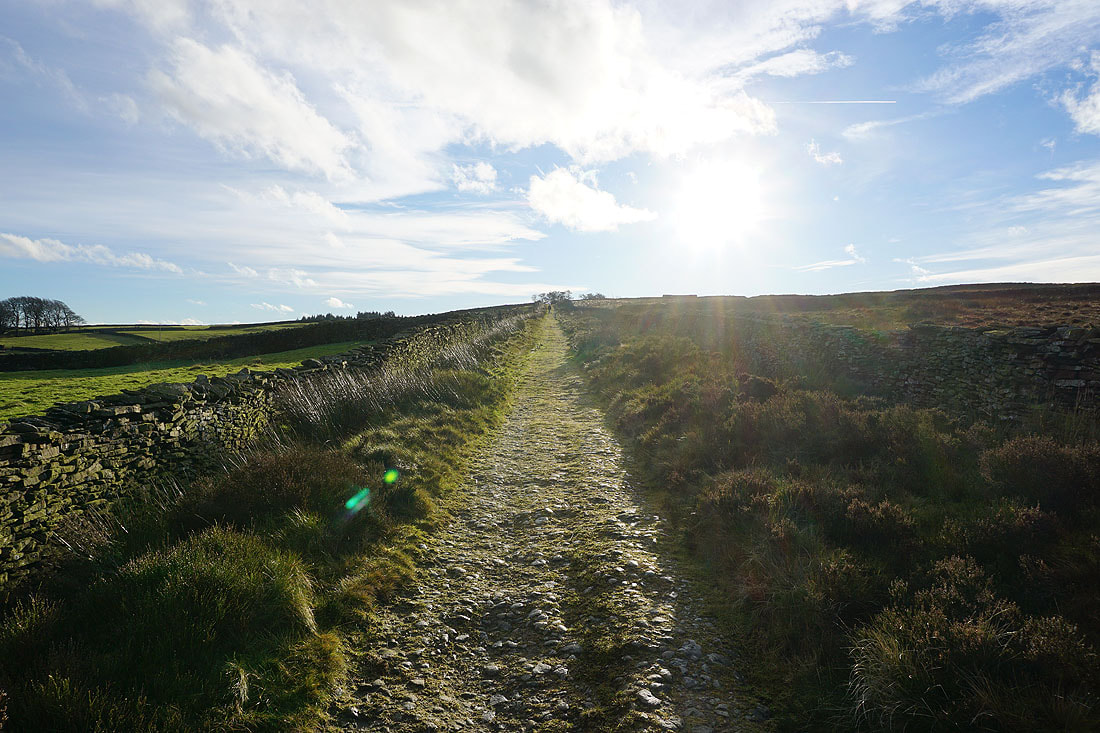
Heading down Gisburn Old Road with Boulsworth Hill in the distance
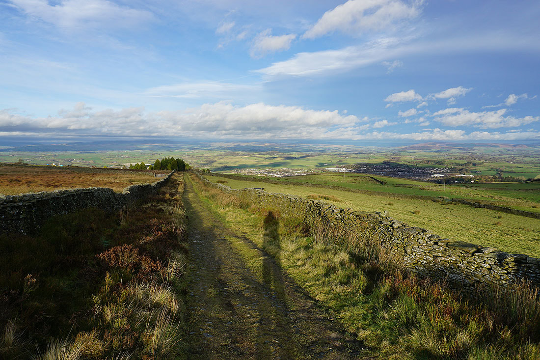
Blacko Hill, the Forest of Pendle and Pendle Hill as I follow the Pendle Way towards Blacko Hill..
On Blacko Hill
Ickornshaw Moor and Boulsworth Hill in the distance as I head down from Blacko Hill
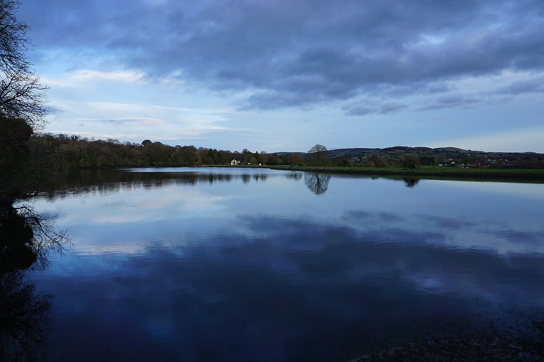
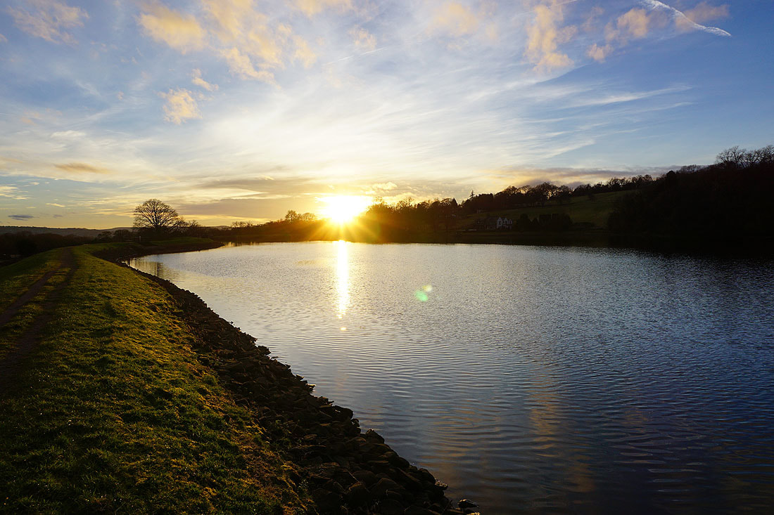
By Slipper Hill Reservoir..
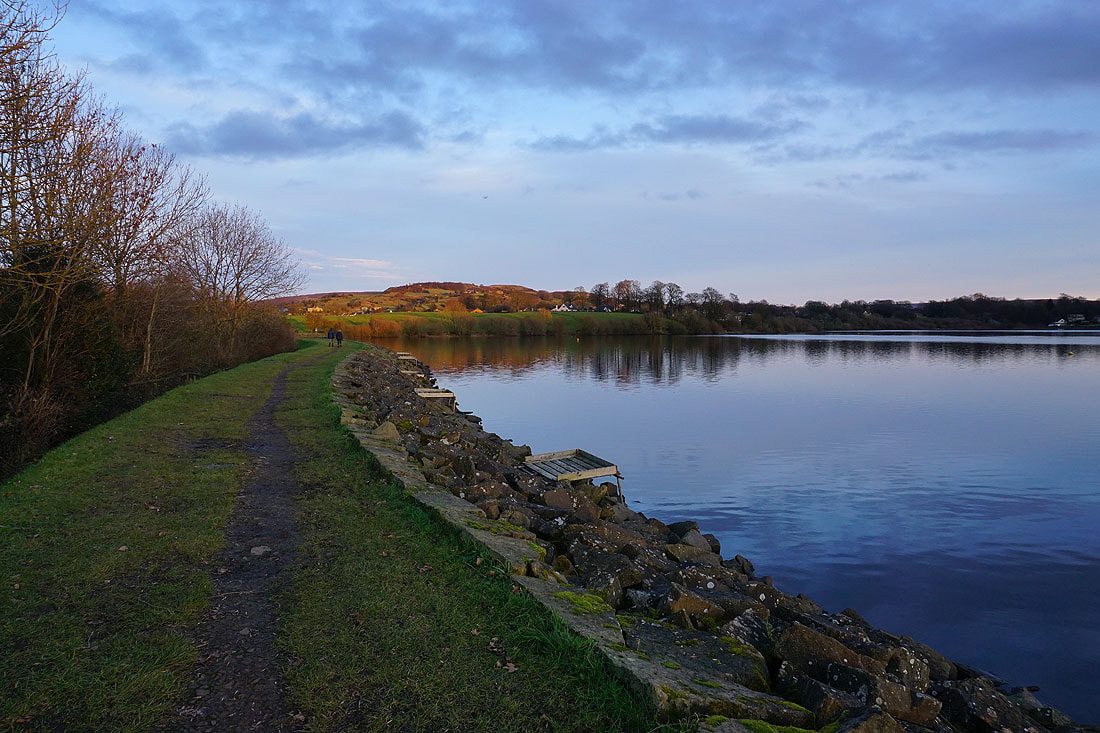
Making my way round Foulridge Lower Reservoir...
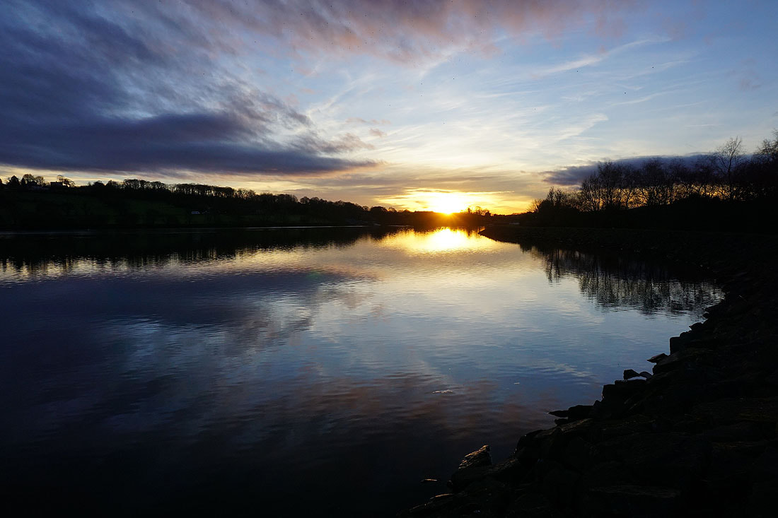
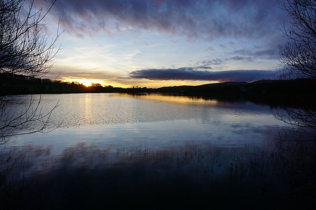
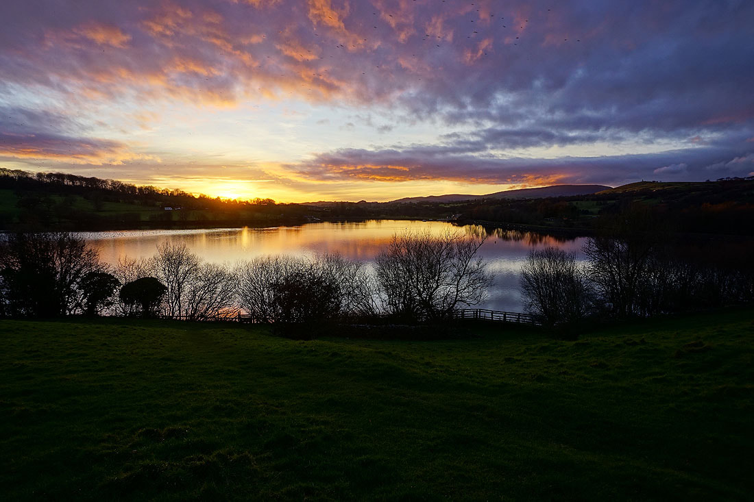
Pendle Hill in the distance on the right from above Foulridge Lower Reservoir, as the sun sets and gives a nice bit of colour to the sky