16th February 2013 - Pendle Hill
Walk Details
Distance walked: 6.2 miles
Total ascent: 1484 ft
OS map used: OL21 - South Pennines
Time taken: 4 hrs
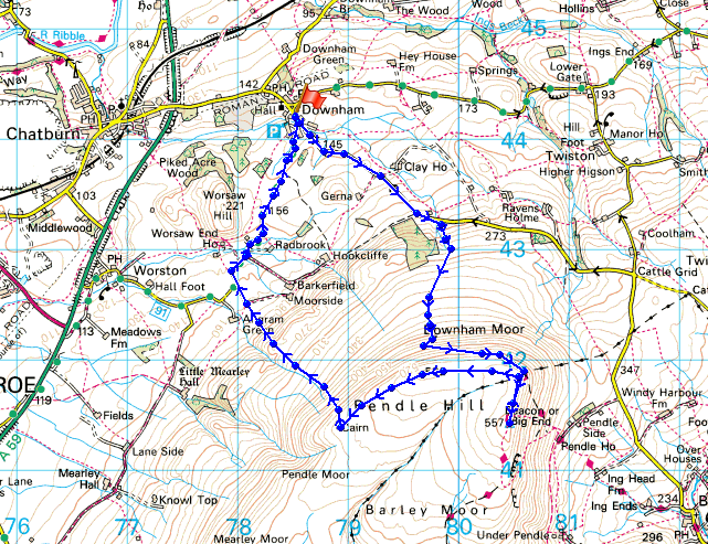
Route description: Downham-Pendle Road-Downham Moor-Pendle Hill-Scout Cairn-Worston Moor-West Lane-Downham
My first and hopefully not my only ascent of Pendle Hill for the year. I decided to do it from Downham, a much quieter route than from Barley.
After parking in Downham I set off up Pendle Road. I could I have used a footpath over fields but the prospect of slithering around in mud didn't appeal to me. Upon reaching Hookcliffe Plantation I left the road to follow a path up Downham Moor and the summit. I retraced my steps from the trig point back to the wall and stile to take the path across the top of Downham Moor to the Scout Cairn. My route back to Downham was the path down Burst Clough and the road of West Lane.
Route map
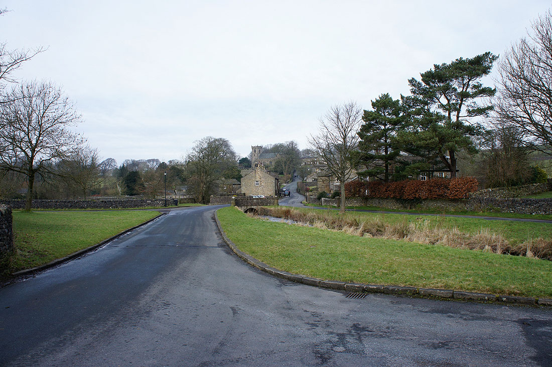
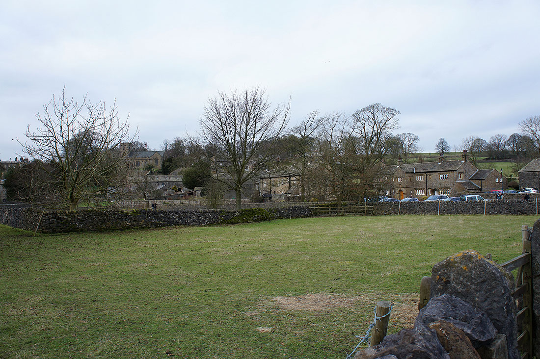
Leaving Downham behind
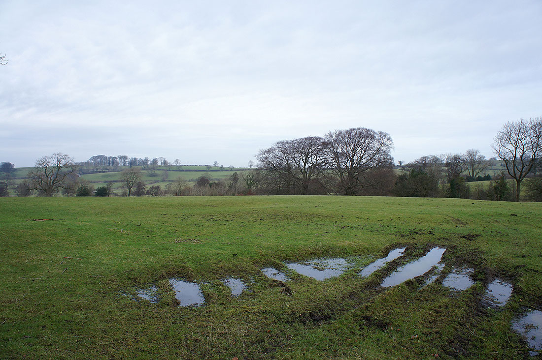
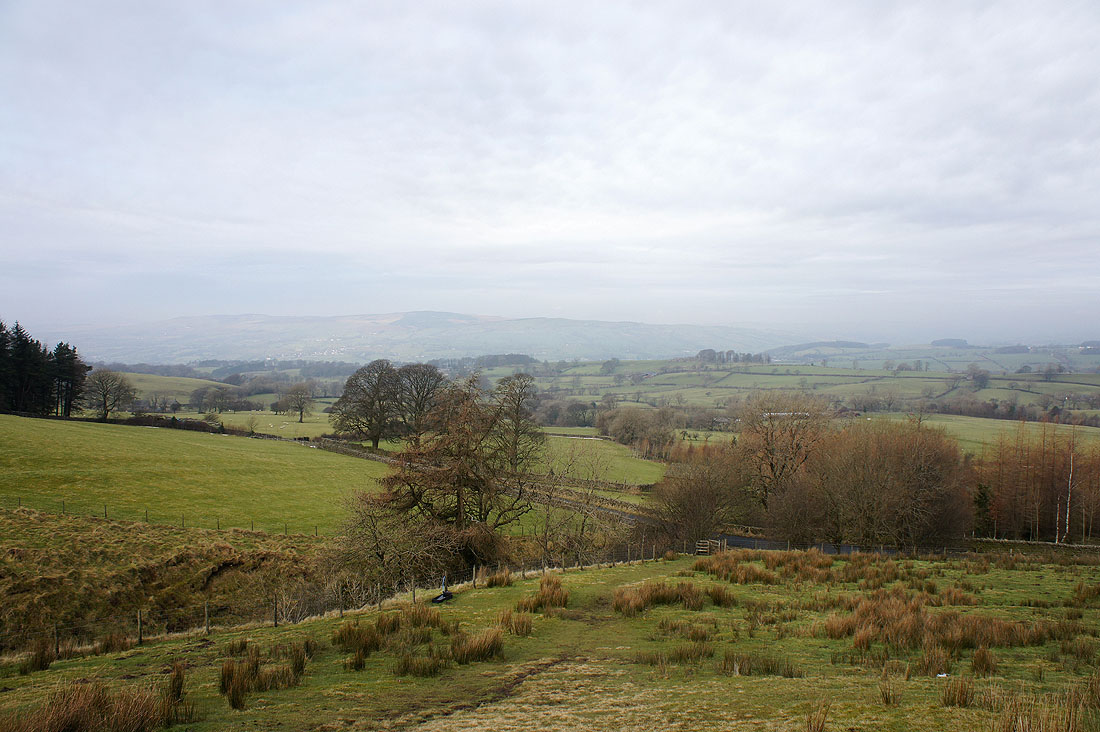
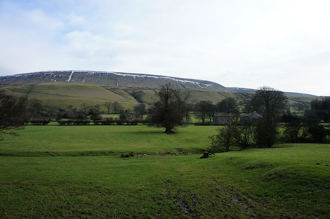
Pendle countryside from the Pendle Road
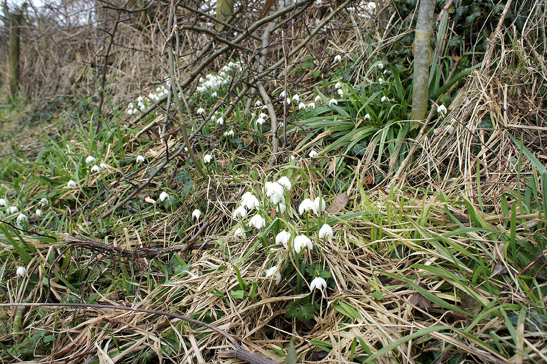
Signs of spring?
As I start to head up Downham Moor, Easington Fell comes into view on the other side of the Ribble Valley
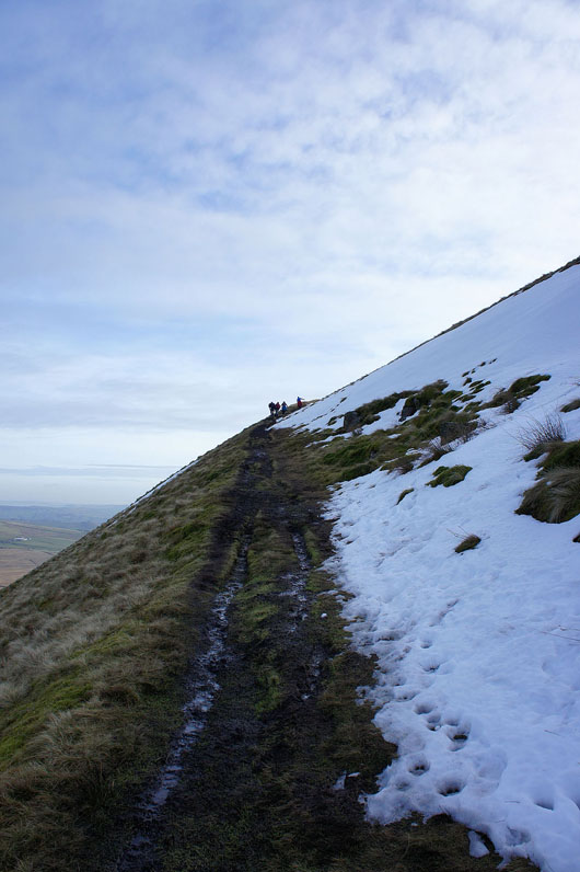
Heading up. Some snow has survived on the sheltered north side of the hill.
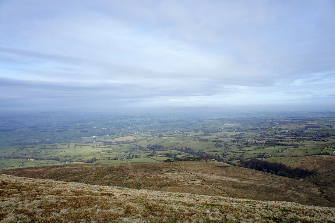
The Ribble Valley from the top of the climb. Unfortunately mist has obscured any views of the three peaks in the Yorkshire Dales.
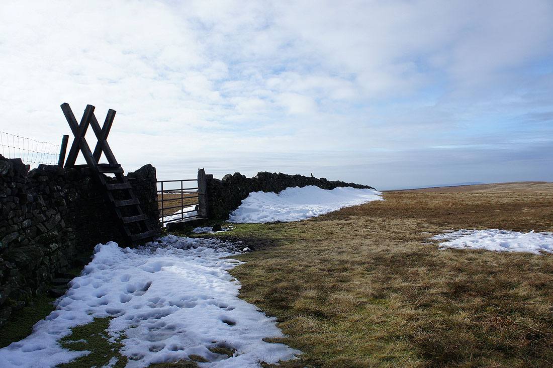
Across the stile to head for the summit
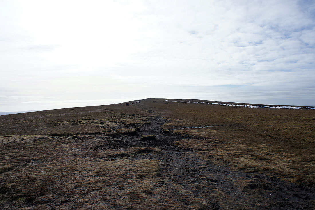
The trig point comes into view along with the crowds that have come up from Barley
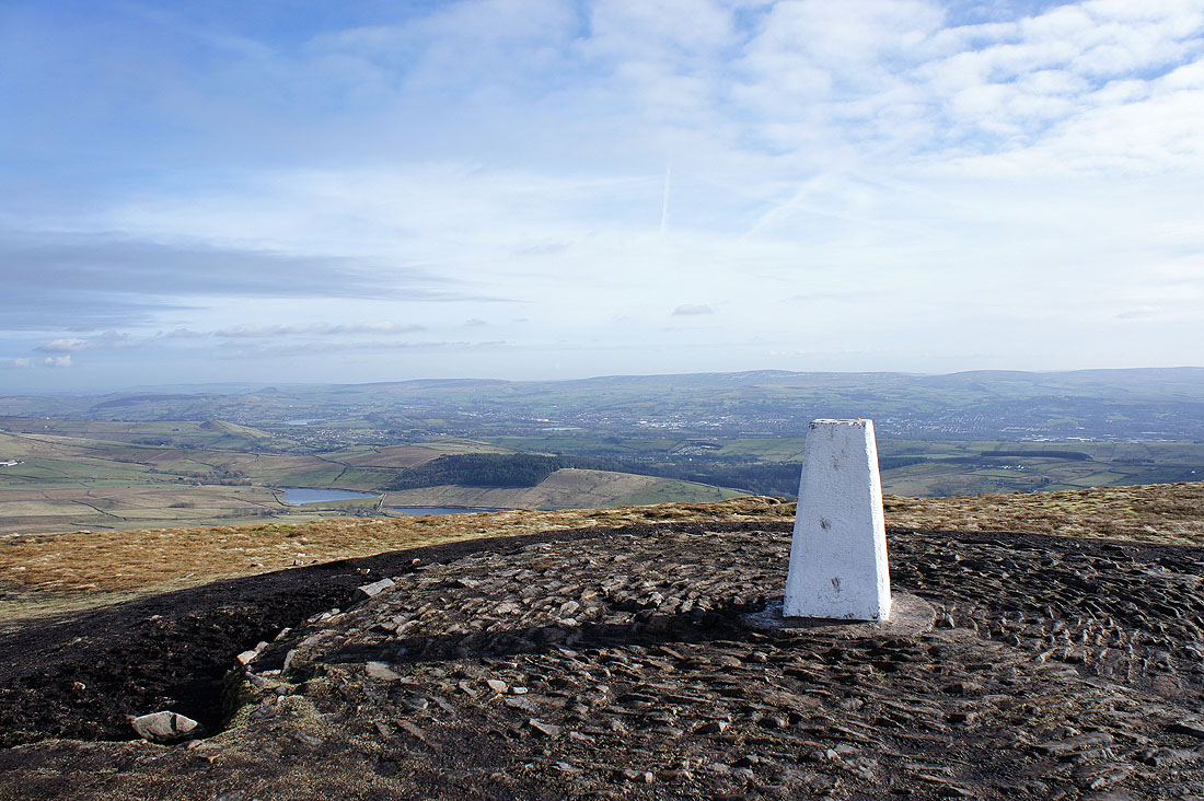
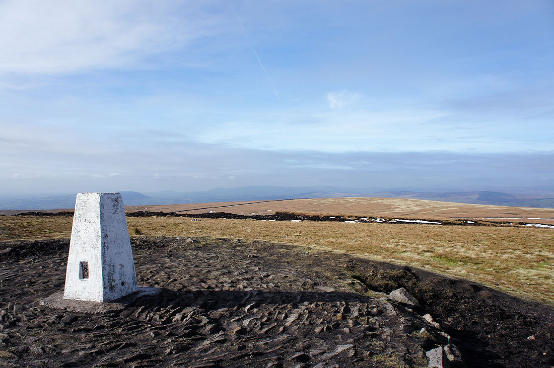
The summit of Pendle Hill
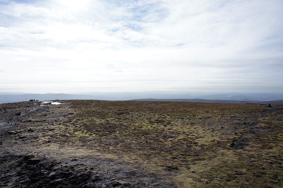
The West Pennine Moors in the distance
Longridge Fell is just behind the trig point with the fells of the Forest of Bowland to the right
The village of Barley cradled in the hills below
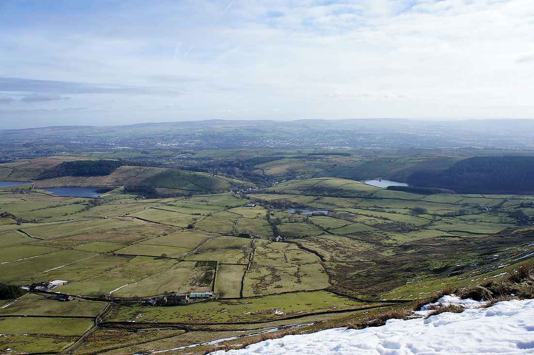
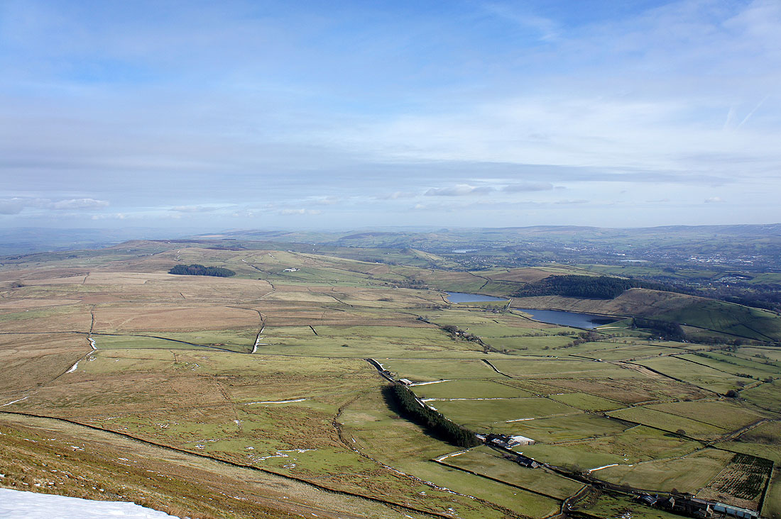
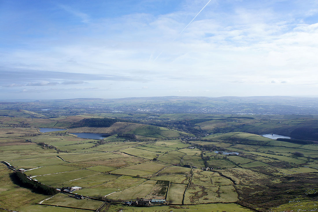
South Pennines views. Twiston Moor, Weets Hill, Kelbrook Moor, Bleara Moor, Pinhaw Beacon and the two Black Moss reservoirs.
Along the skyline from left to right are Ickornshaw Moor and Little Wolf Stones, Boulsworth Hill and Hoof Stones Height
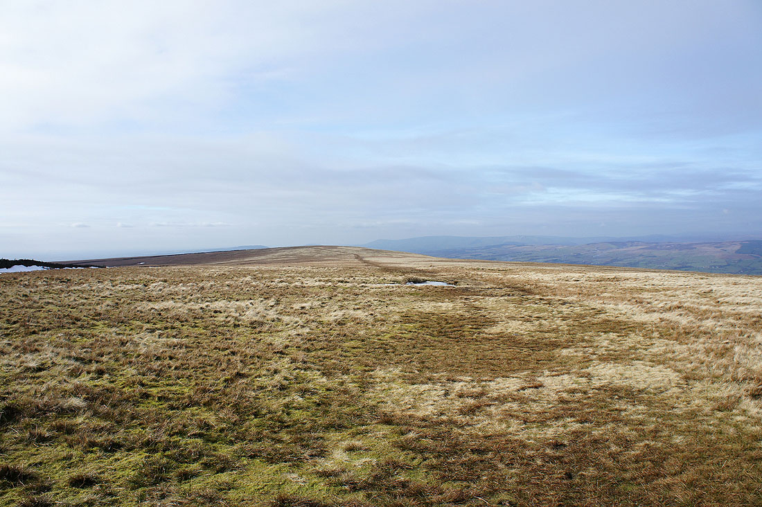
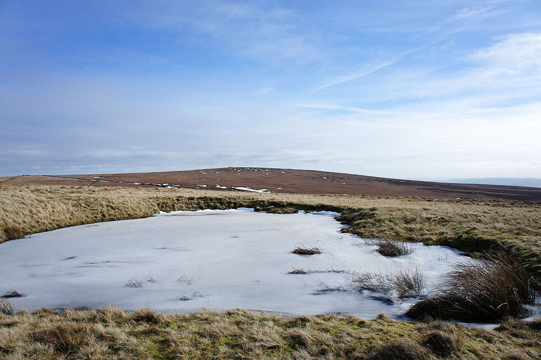
I've made my way back over the stile to head across the top of Downham Moor
A last look back to the summit
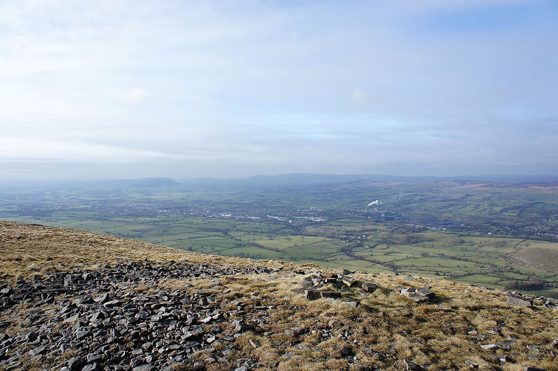
This high point on Downham Moor gives great views across the Ribble Valley. Looking past Clitheroe to Longridge Fell, Parlick and Fair Snape Fell.
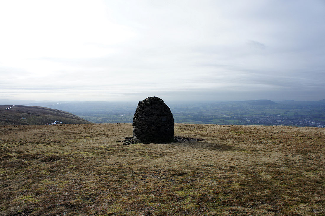
The Scout Cairn means its time to head downhill
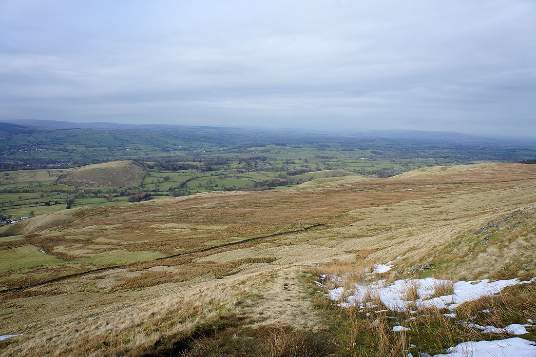
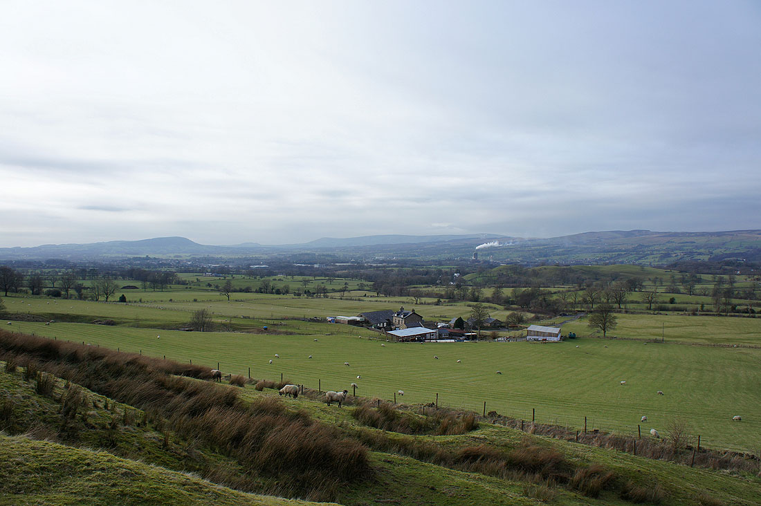
Heading down with a view of the Ribble Valley ahead
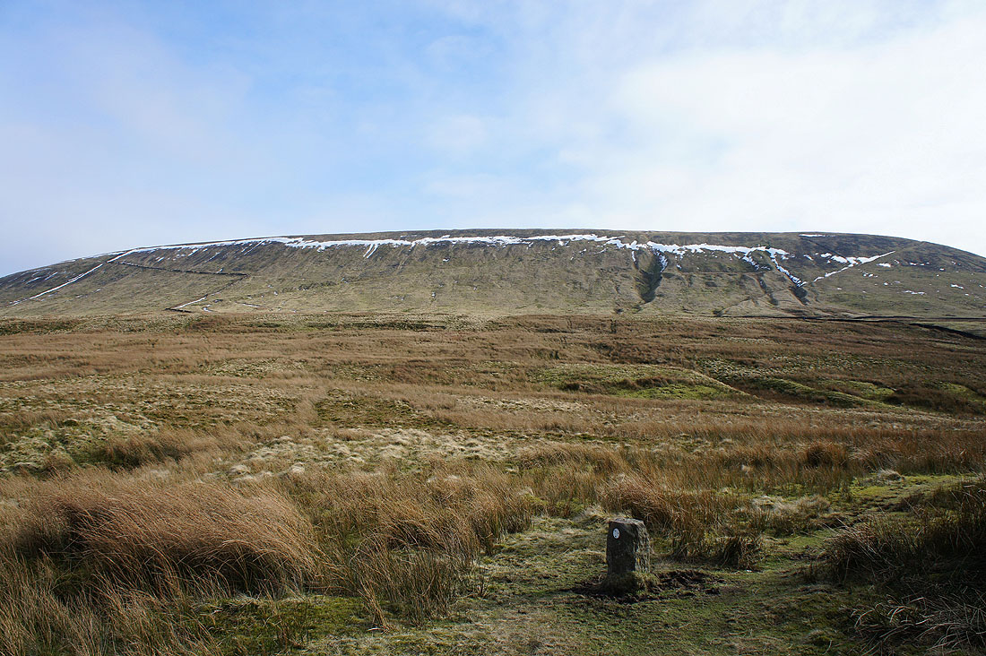
The steep north-western flank of Pendle Hill. My line of descent was the slanting line on the right.
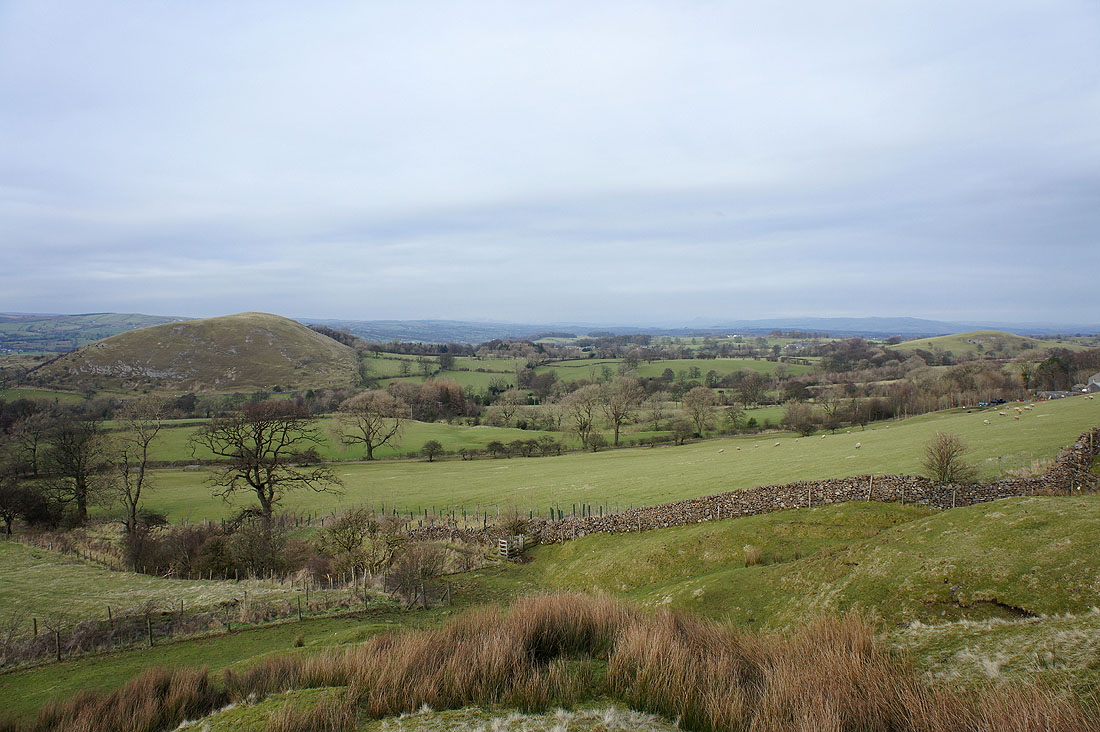
A view across the valley to Longridge Fell, Parlick and Fair Snape Fell
My route back to Downham will take me past Worsaw Hill on the left
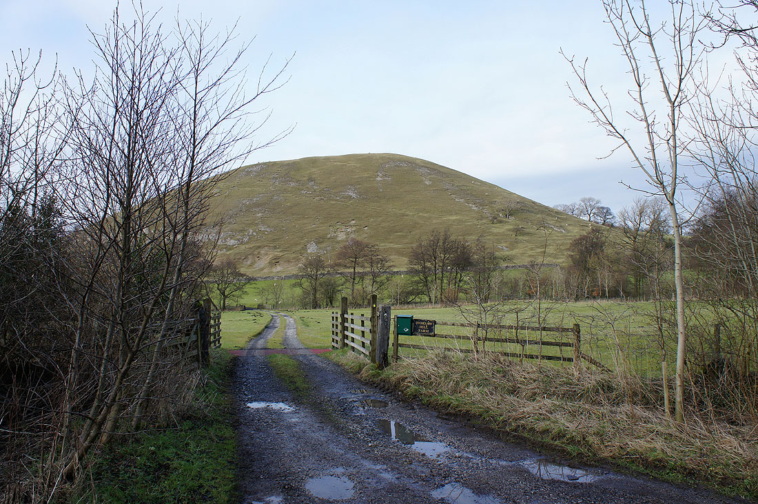
Worsaw Hill looks quite impressive from this angle
Pendle Hill from West Lane and..
..back in Downham
