16th February 2014 - Middleton Fell
Walk Details
Distance walked: 7.5 miles
Total ascent: 2127 ft
OS map used: OL2 - Yorkshire Dales, Southern & Western areas
Time taken: 6.5 hrs
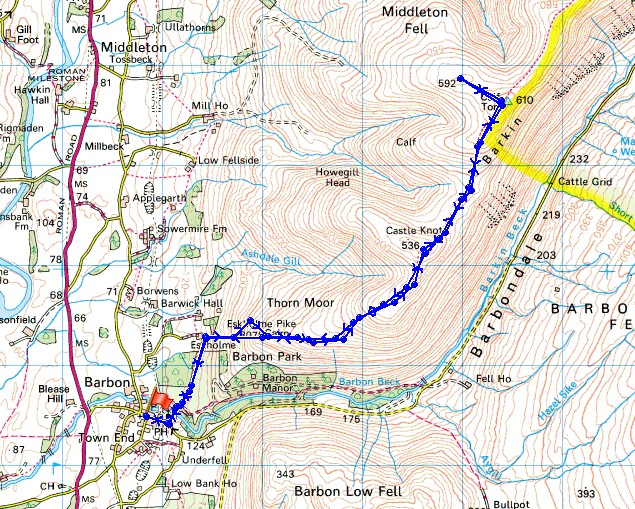
Route description: Barbon-Eskholme-Eskholme Pike-Castle Knott-Calf Top-Castle Knott-Eskholme Pike-Eskholme-Barbon
A day of good weather for this walk up Middleton Fell, which is on the western edge of the Yorkshire Dales. This was the fifth time that I'd visited this summit and on every occasion I've had the place to myself. I think the view from the top on a good day is hard to beat, check out what it was like on my previous visit, 7th October 2012.
From Barbon I made my way past the church of St. Bartholomew's and then left to follow the track over Barbon Beck. A footpath leaves the track to head for Eskholme and then I walked uphill to reach a gate in the intake wall and access land. I then made my way to the summit of Middleton Fell, Calf Top, via Eskholme Pike and Castle Knott. I simply reversed my route to get back.
Route map
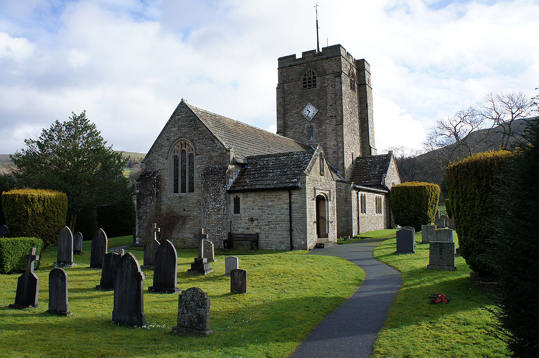
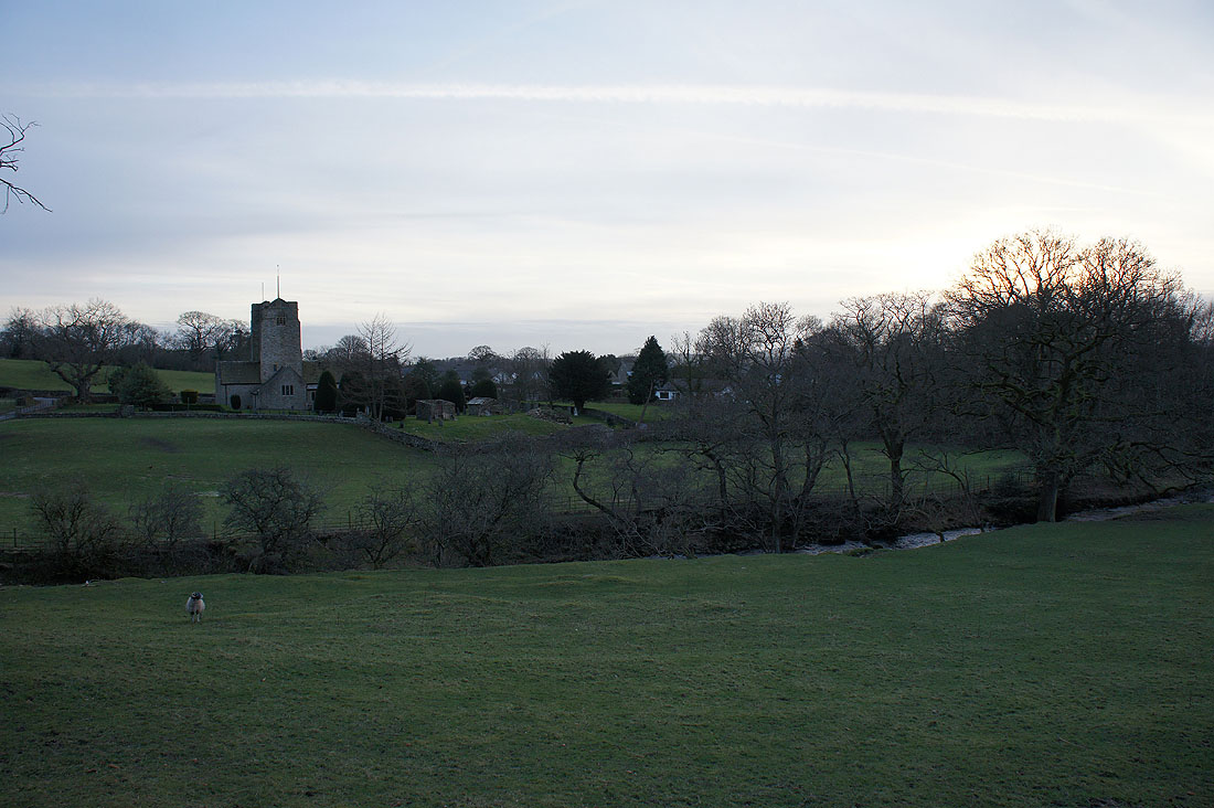
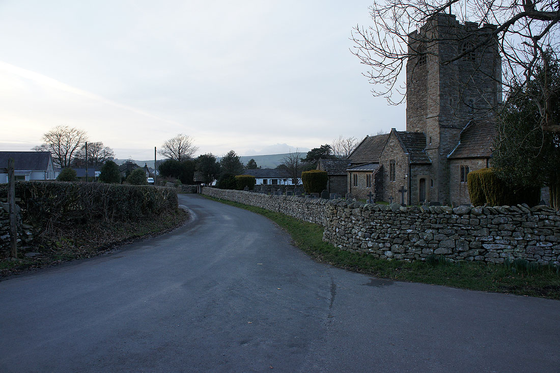
The church of St. Bartholomew's in Barbon
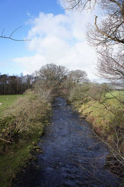
Across Barbon Beck
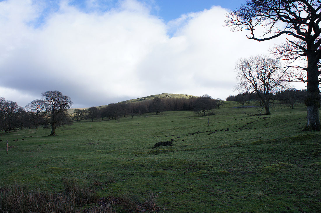
On the path to Eskholme and the top of Eskholme Pike is catching the sun
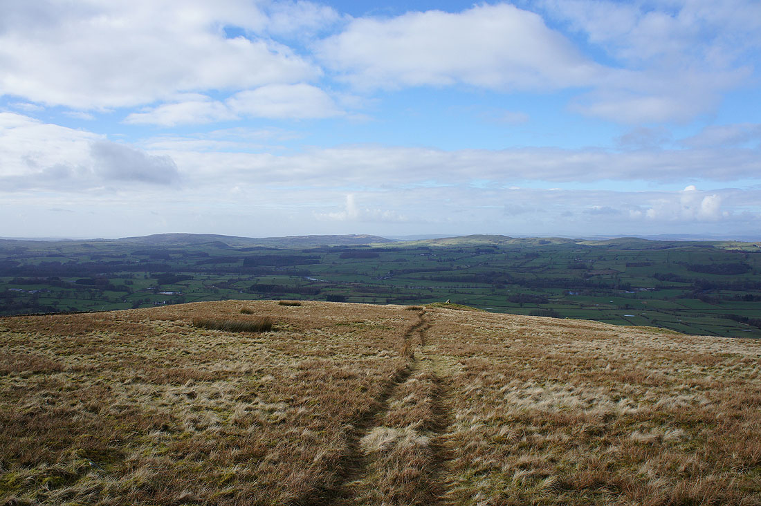
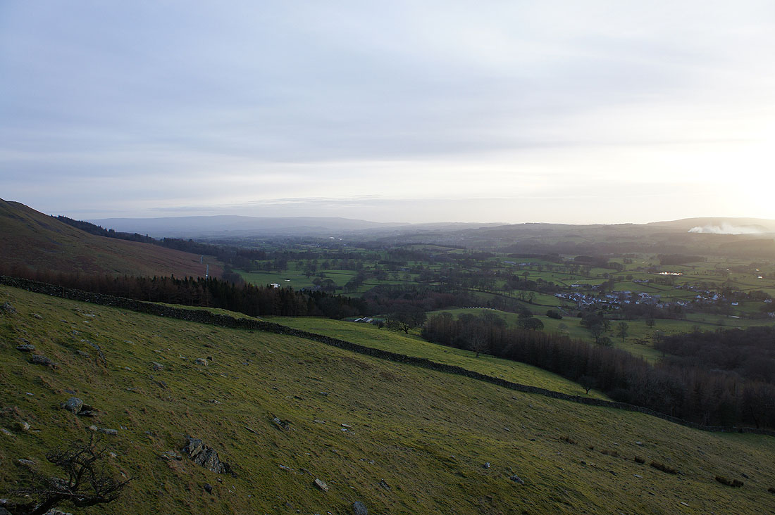
The Lune valley from Eskholme Pike
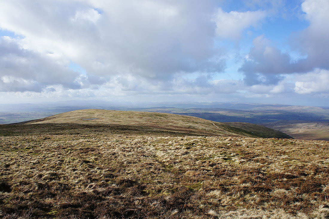
Looking back at Eskholme Pike as I head to Castle Knott. The hills in the distance include Hutton Roof Crags and Holmepark Fell that are just to the east of the M6.
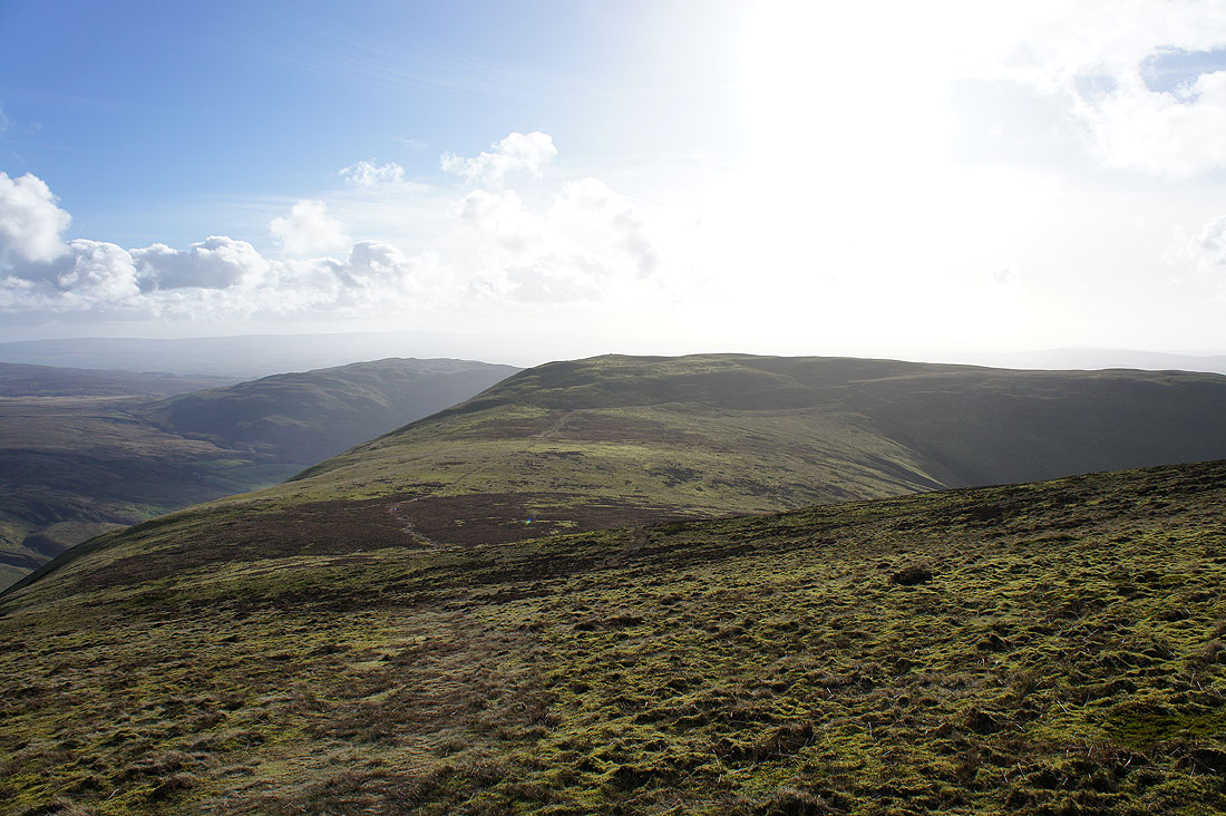
On Castle Knott. The summit of Middleton Fell, Calf Top, is just ahead.
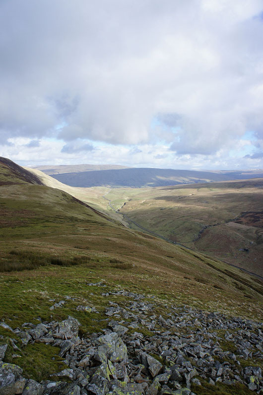
The road through Barbondale to Dent below
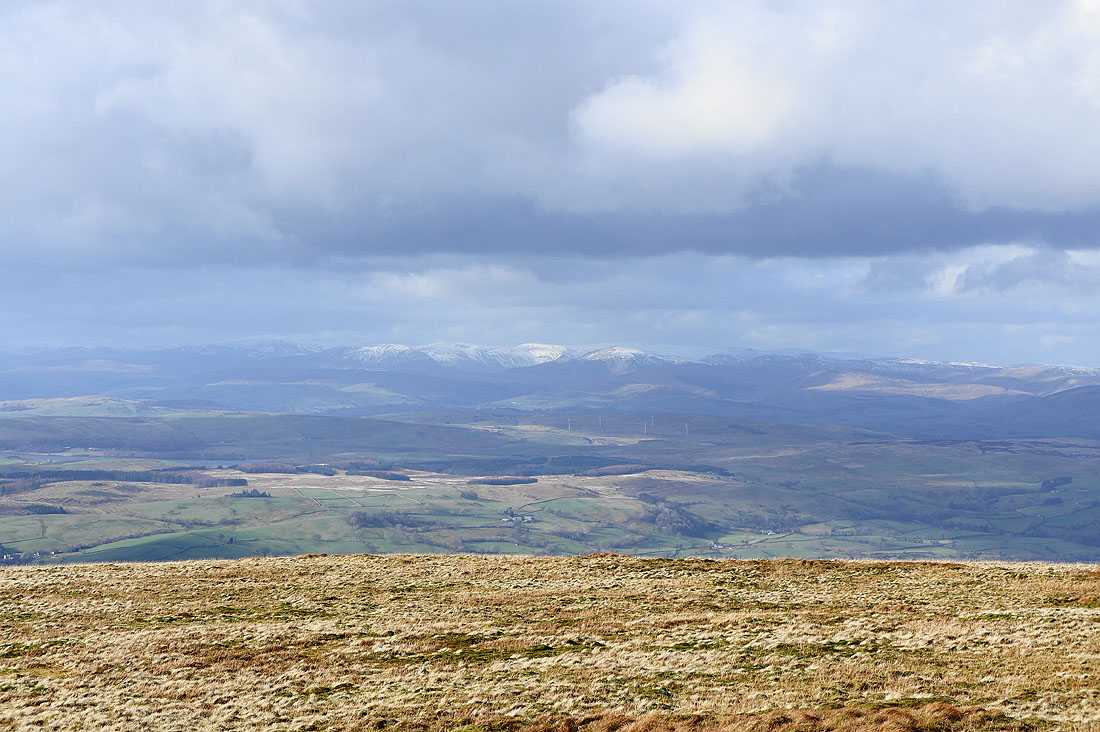
I took this shot as soon as I reached the summit. I could clearly see the snow capped Lake District fells in the distance.
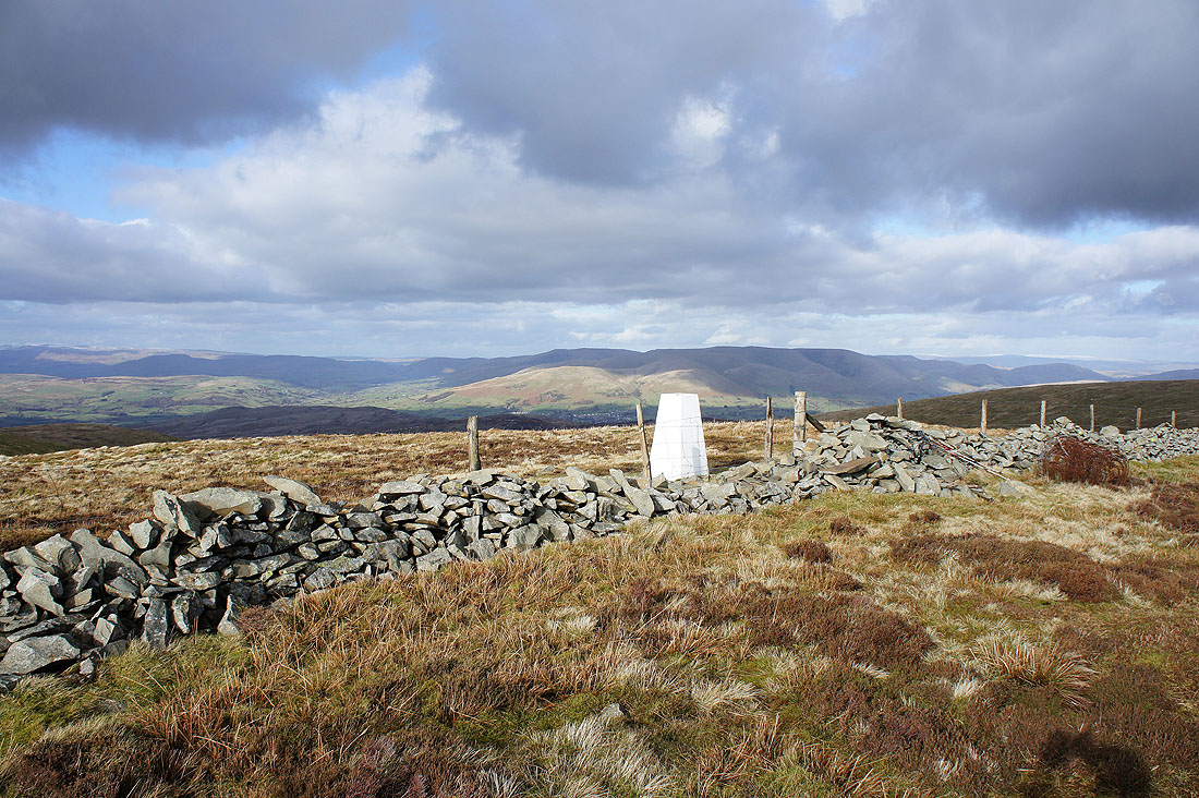
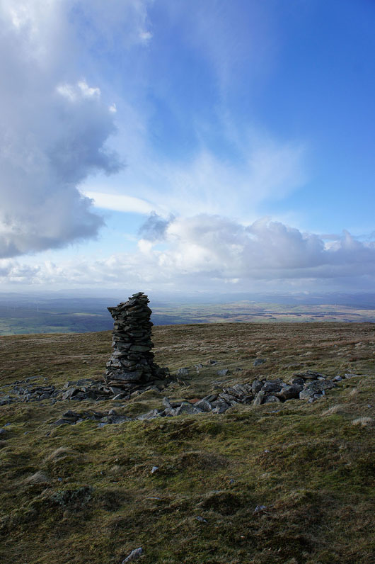
The trig point that marks the summit of Middleton Fell. I've had my lunch, so I'm going to head to a stone pillar at the western end of the summit. There's a great view from it.
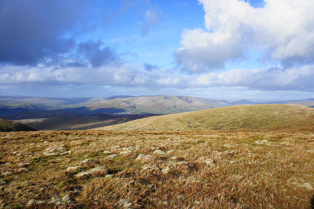
The Lune valley below with Holmepark Fell beyond
Looking towards a distant Lakeland..
Zooming in on the fells around the Kentmere Horseshoe
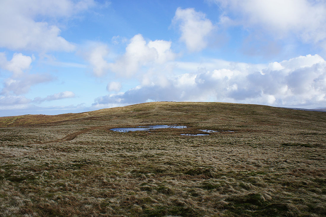
Heading back to the summit and the bright white trig point really stands out
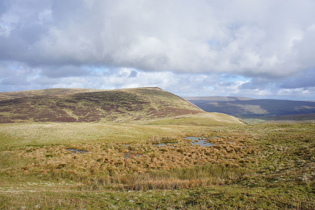
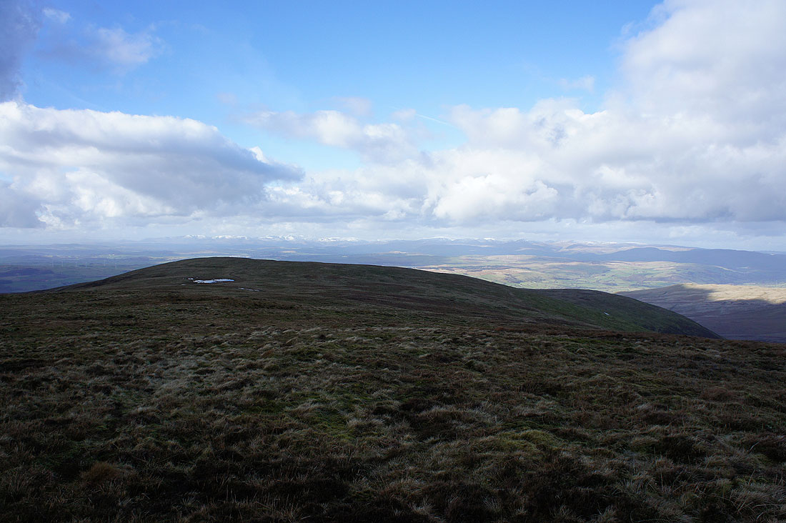
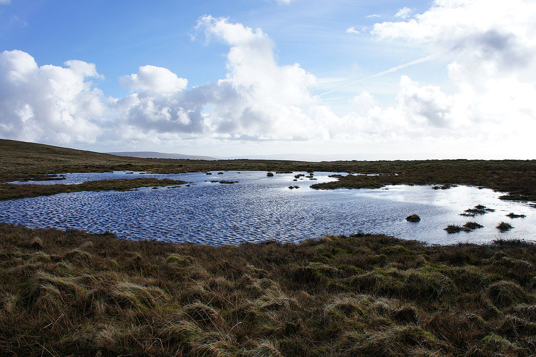
Windswept summit pool
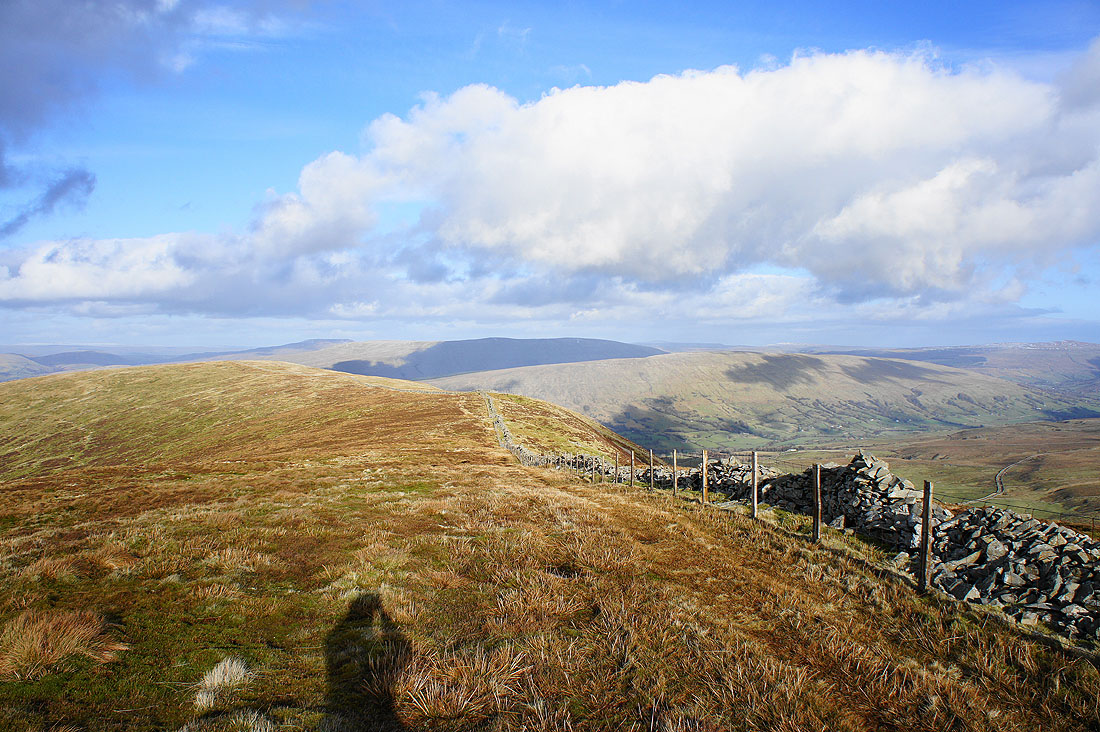
Views from Calf Top. The Howgills.
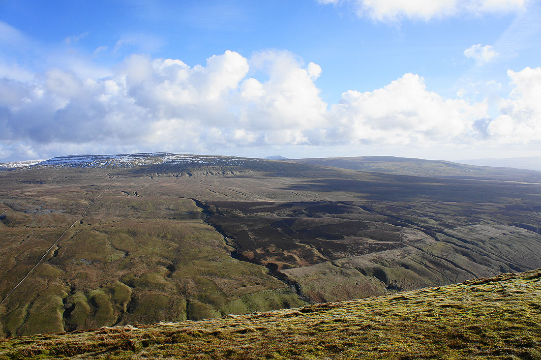
Wild Boar Fell, Baugh Fell and Aye Gill Pike
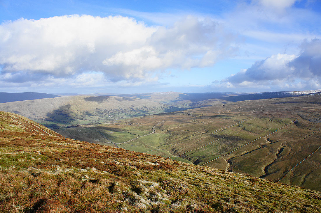
Aye Gill Pike, Dentdale and Great Knoutberry Hill
Crag Hill on the other side of Barbondale
A last shot looking towards the Lake District
Heading back to Castle Knott
On the summit of Castle Knott. Crag Hill in the background.
A distant Lakeland from Castle Knott
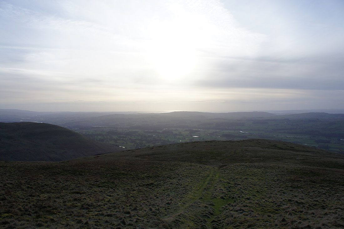
Sunshine on the Lune estuary
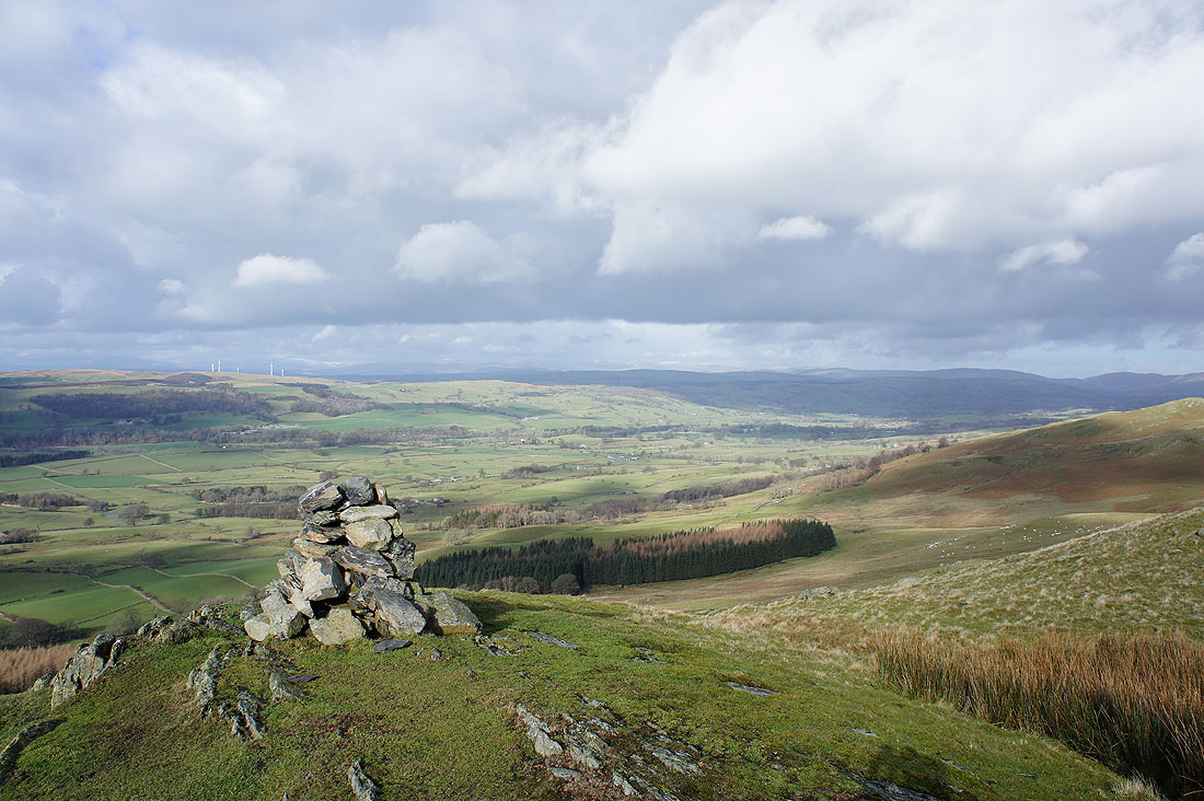
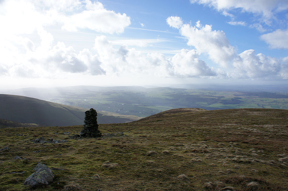
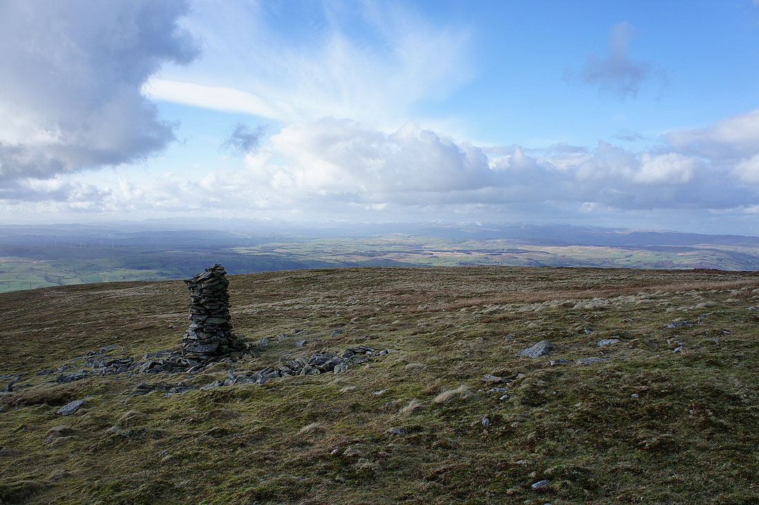
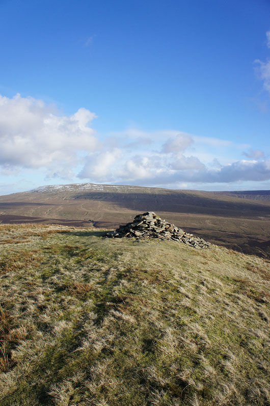
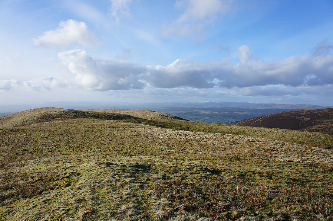
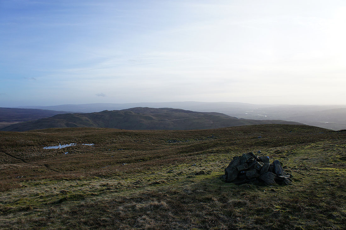
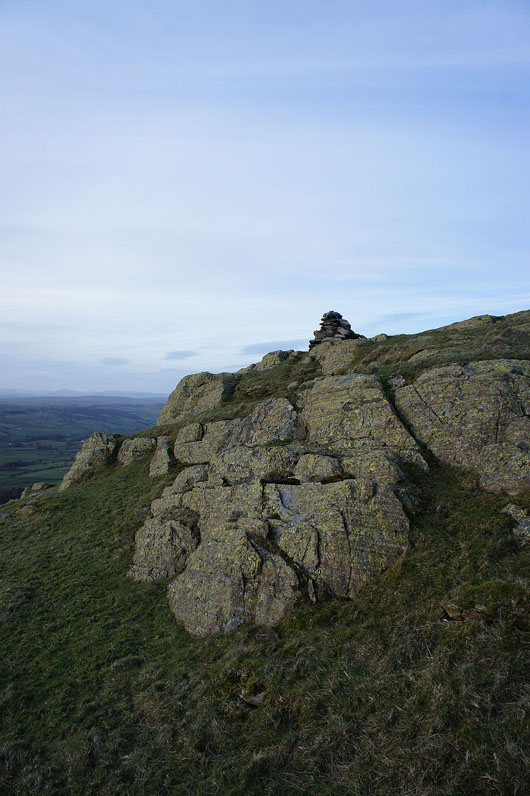
A cairn marks a lower top of Castle Knott. Baron Low Fell with the Forest of Bowland in the distance.
Heading down to Eskholme Pike
Back on Eskholme Pike
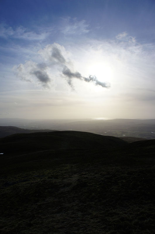
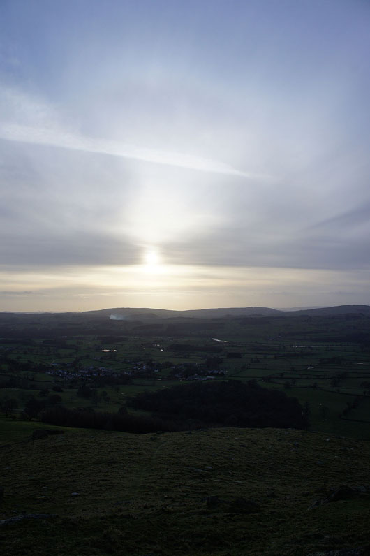
Barbon below a hazy sun
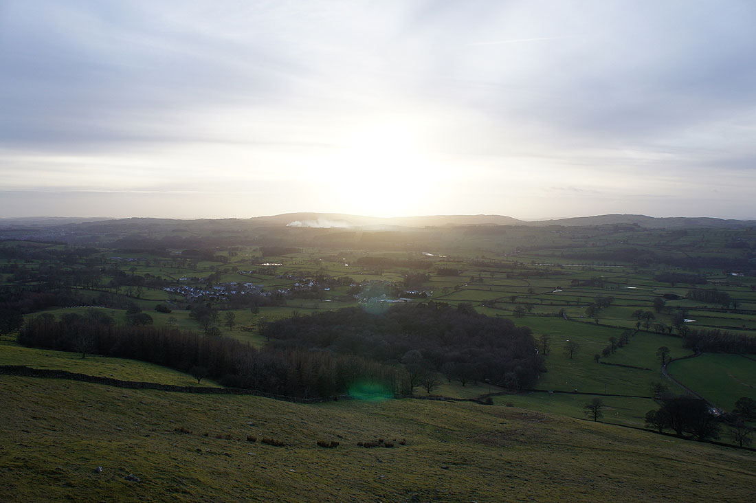
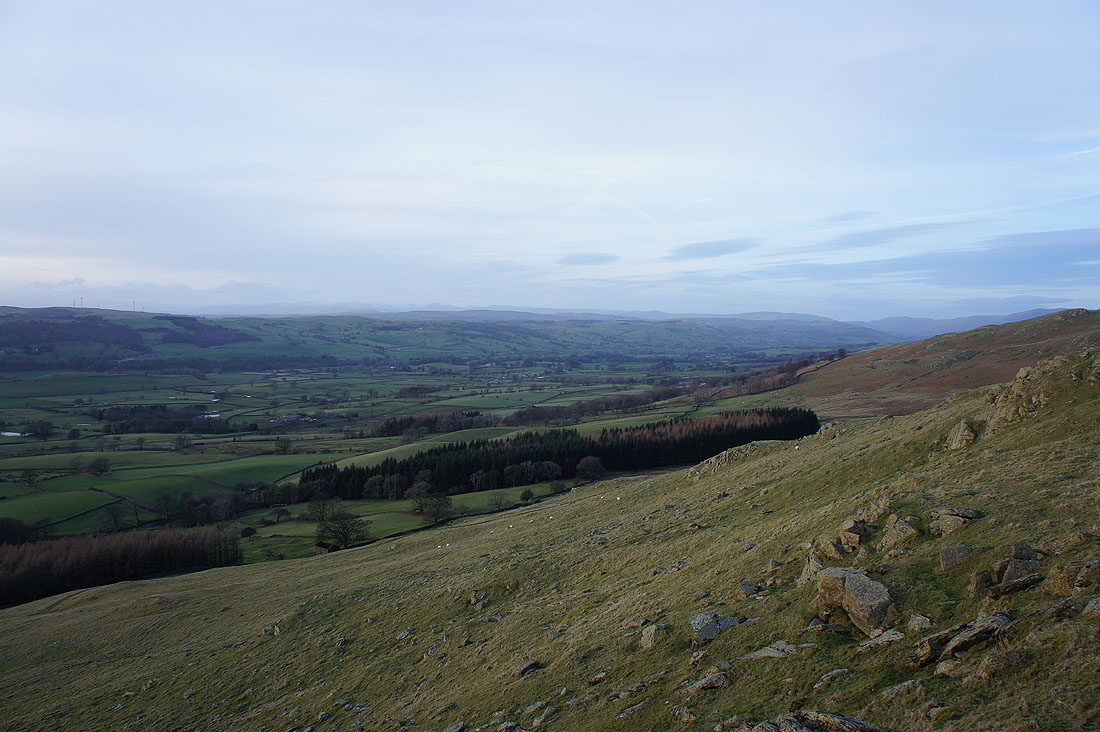
The Lune valley from Devil's Crag, just below Eskholme Pike...
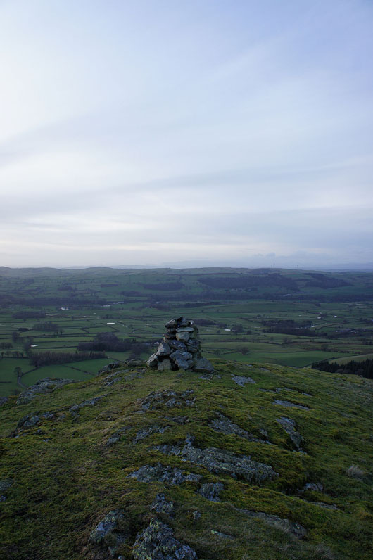
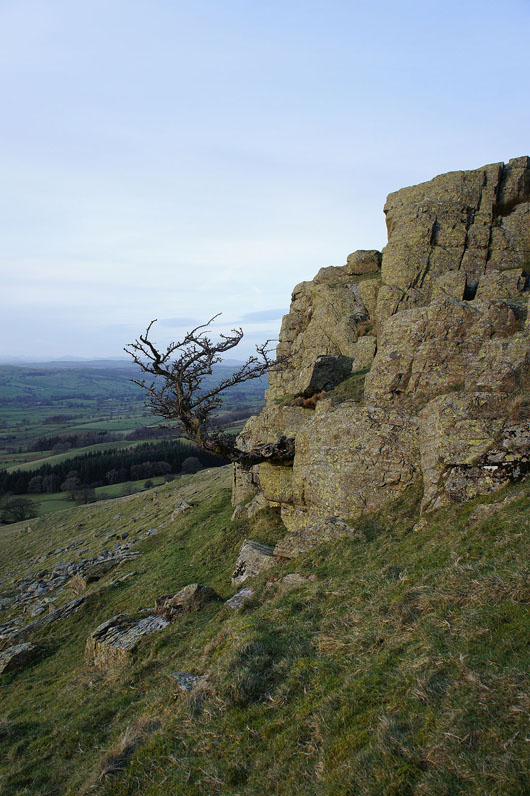
Hawthorn trying to eke out an existence on Devil's Crag
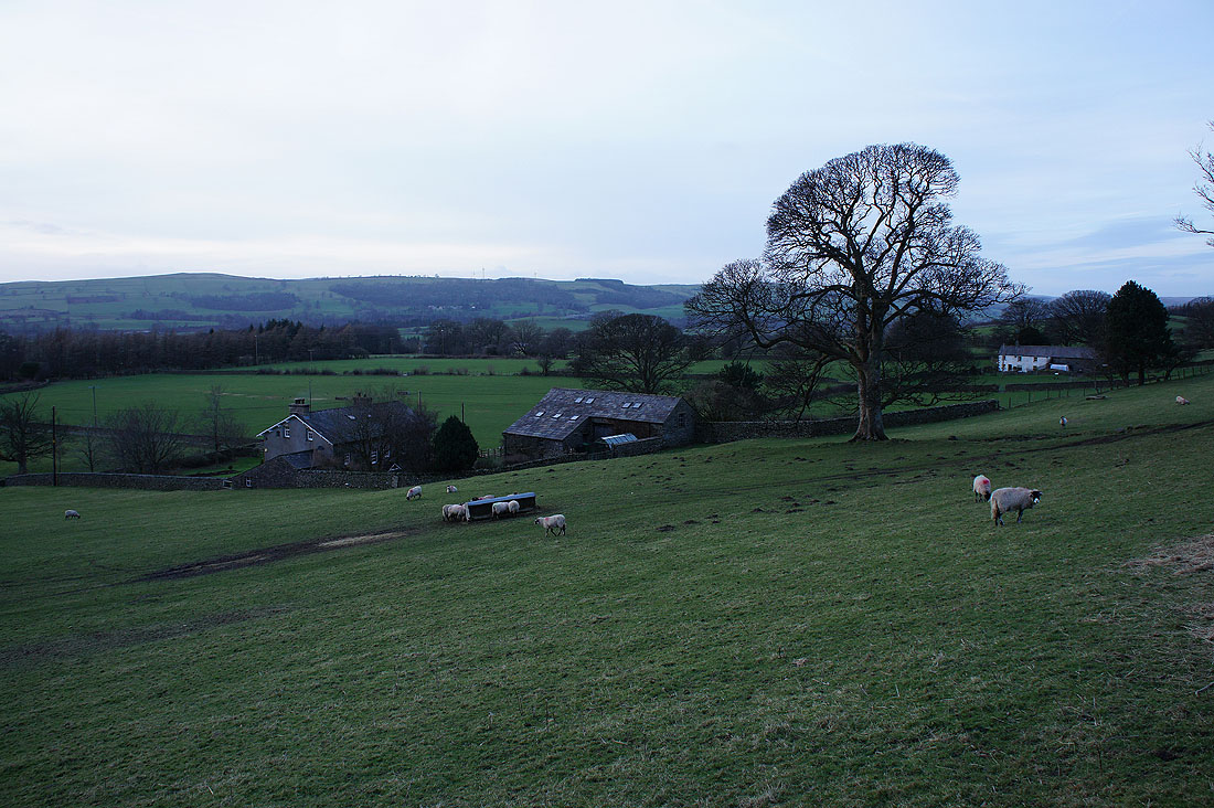
Eskholme
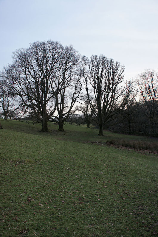
In Barbon Park
Back in Barbon after a great walk..
