16th February 2019 - Barley to Weets Hill and back
Walk Details
Distance walked: 12.3 miles
Total ascent: 2083 ft
OS map used: OL21 - South Pennines
Time taken: 6.5 hrs
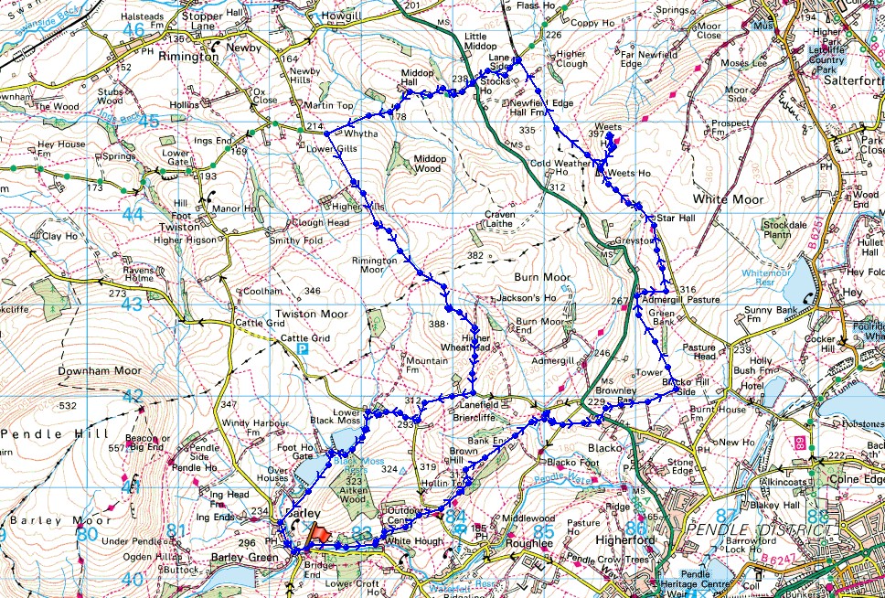
Route description: Barley-Pendle Way-White Hough-Pendle Way-Brown Hill-Bank Ends-Blacko Water-Blacko-Brownley Park-Blacko Hill Side-Blacko Hill-Admergill Pasture-Pendle Way-Gisburn Old Road-Weets House Farm-Weets Hill-Weets House Farm-Pennine Bridleway-Stocks Lane-A682-Stocks Lane-Middop Hall-Whytha Road-Higher Gills-Rimington Moor-Wheathead Height-Wheathead Lane-Black Moss Road-Upper Black Moss Reservoir-Lower Black Moss Reservoir-Barley
I thought it was about time that I finally paid a visit to Weets Hill. I seem to have walked across the moors all around it over the years but for some reason avoided actually setting foot on it. My first thought about planning a route involved starting from somewhere nearby to the east like Barnoldswick or Salterforth, but the ones I came up with seemed too short and didn't spend enough time up on the moors. So, I decided to look further afield and worked out a route that started from Barley. Not an obvious starting point but it does have the advantage of "The Cabin" for pre or post-walk refreshments. This was a thoroughly enjoyable walk on a positively springlike day with plenty of sunshine and good visibility, though windy high up. There are great all-round views to be had from Weets Hill and Rimington Moor on days like this.
From the car park in Barley I left the village by heading east on the trail of the Pendle Way to White Hough, past the Outdoor Centre and up to the lane at Offa Hill Cottage. I kept on the Pendle Way a little while longer as I made my way along the track to Hollin Top before taking a footpath on the left up onto Brown Hill and then northeast down the hillside towards Bank Ends. I then made my way down through the conifers, across a footbridge over Blacko Water, and along a footpath up towards Wheathead Lane. Before reaching Wheathead Lane I took the path on the right uphill to and across Blacko Bar Road and up to Blacko. After crossing the A682 I took the path opposite up to Brownley Park, across to Blacko Hill Side and then up and over Blacko Hill to Admergill Pasture. Here I picked up the trail of the Pendle Way again that I followed up to and along Gisburn Old Road to Weets House Farm and then up to the summit of Weets Hill. After taking in the view and having had a much needed break I returned to Weets House Farm and made my way north along the Pennine Bridleway down to Stocks Lane. I then turned left and walked along Stocks Lane, crossed the A682, continued west along the gated road of Stocks Lane to Middop Hall, then along the gated Whytha Road to Whytha. Just past here I turned left and followed the public footpath uphill along the access road for Higher Gills Farm and then up onto Rimington Moor and across to Wheathead Height. From here I picked up a path that became a track south off the hill down to Wheathead Lane. I then had a walk up Wheathead Lane and down Black Moss Road to reach the path down to and past the Black Moss Reservoirs that took me back to Barley.
Route map
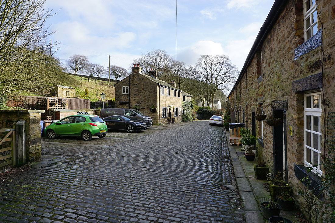
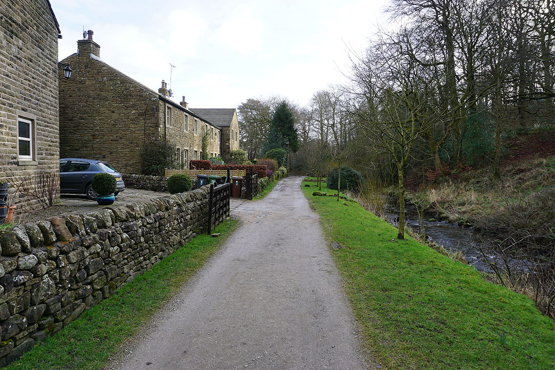
Leaving Barley on the Pendle Way..
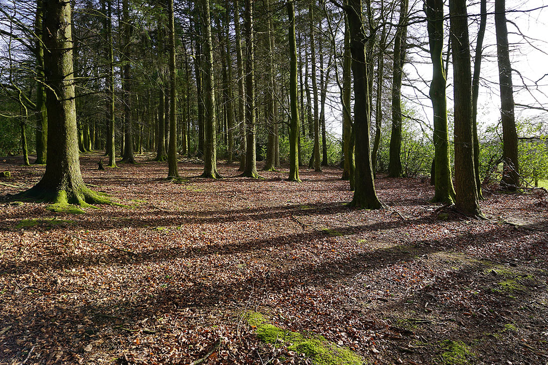
Morning sunshine through the woods at White Hough
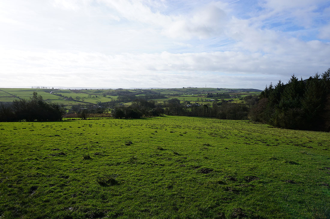
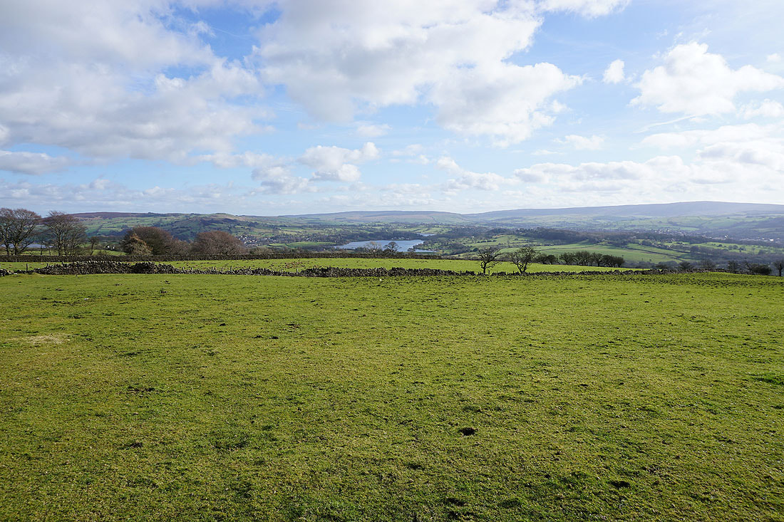
It's a beautiful morning as I look south across the valley of Pendle Water
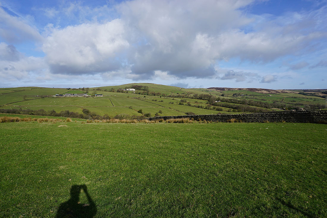
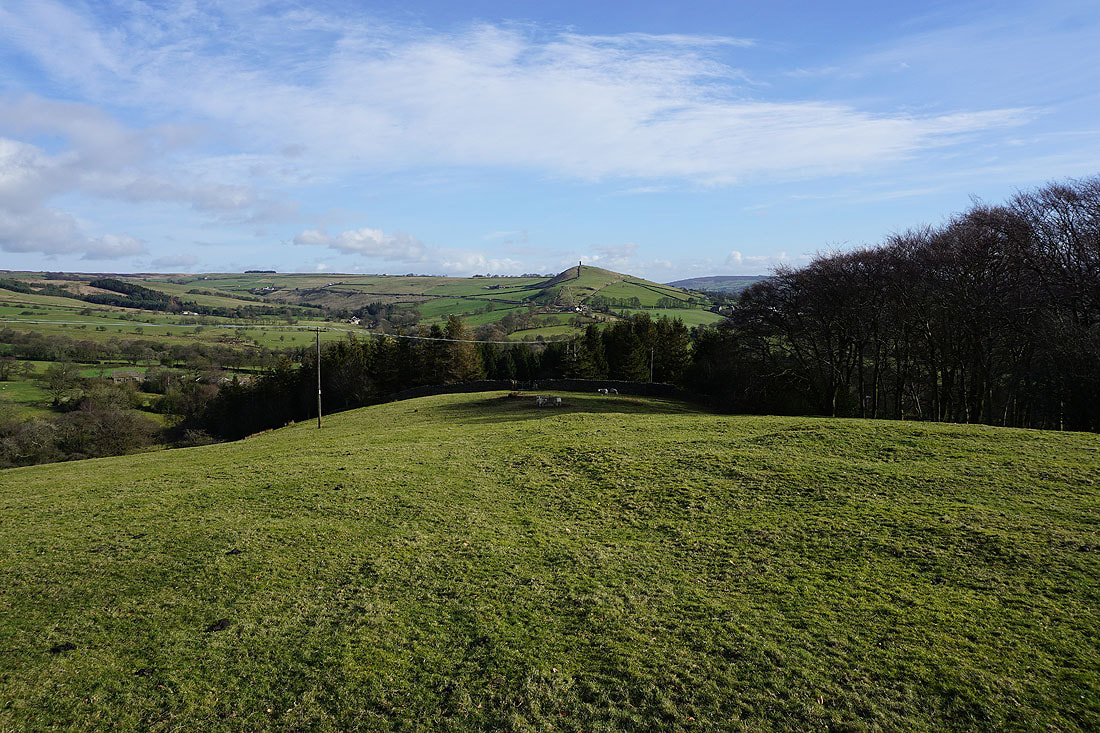
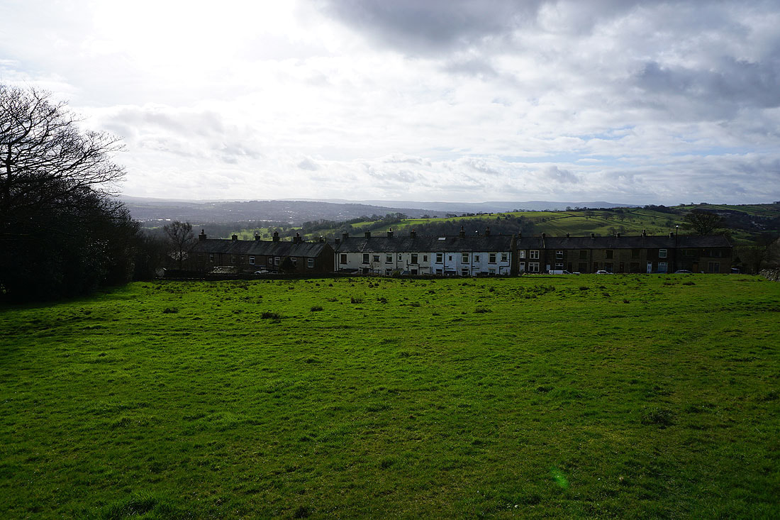
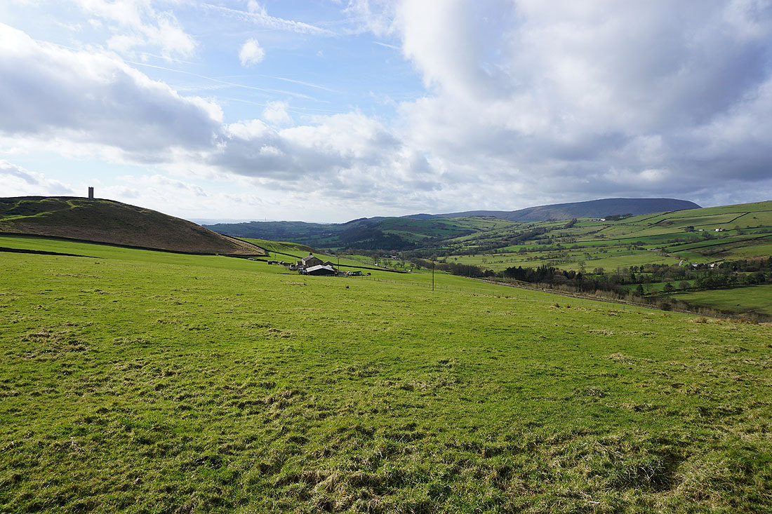
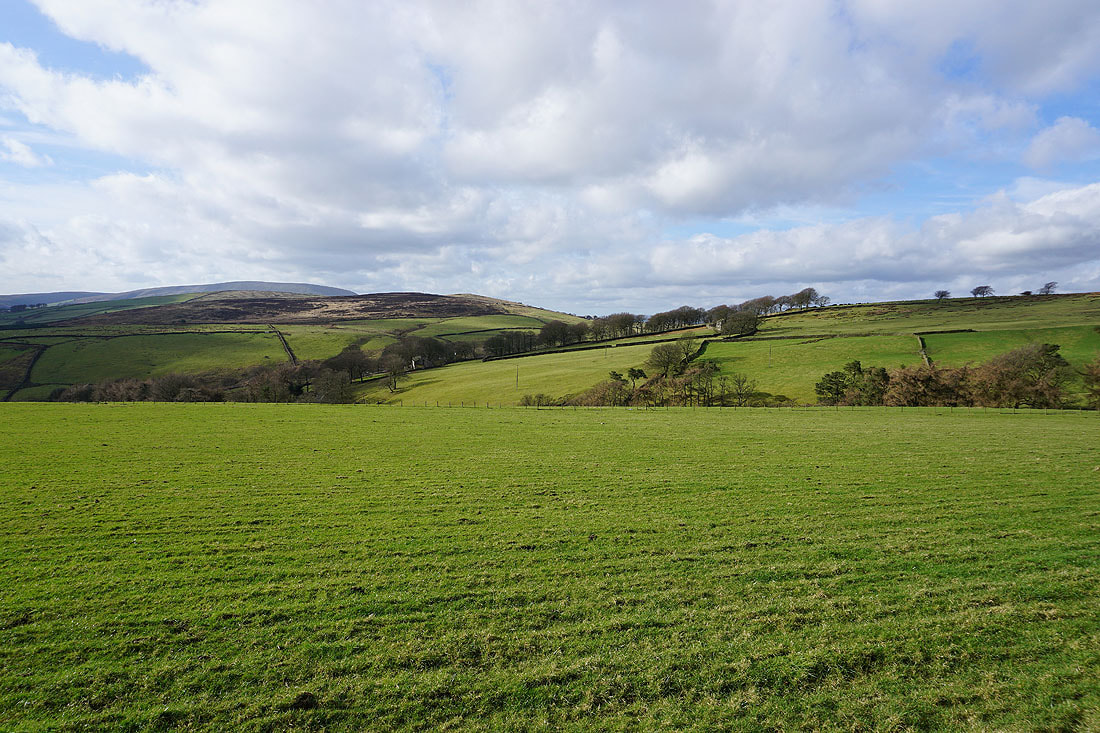
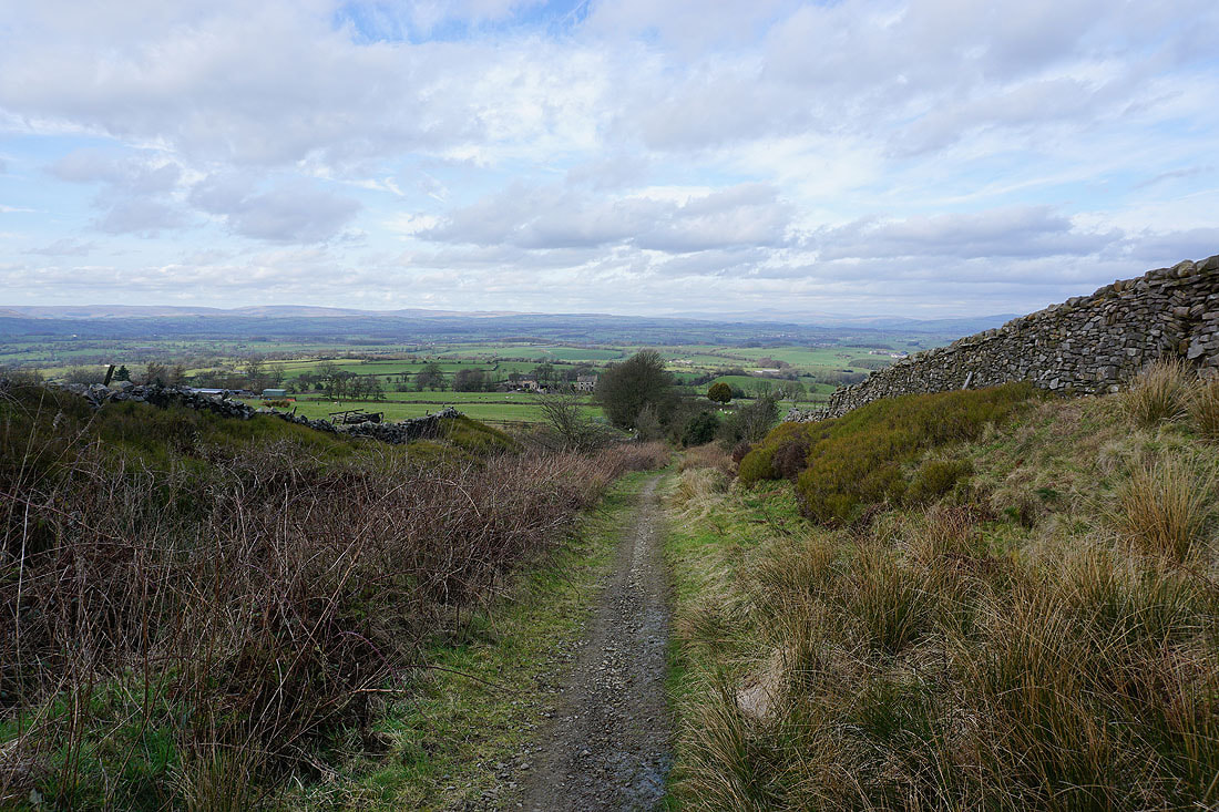
Heading down off Brown Hill with Blacko Hill and Blacko in front of me in the distance
Great looking skies above Wheathead Height. I'll be coming down off that hill later in the day.
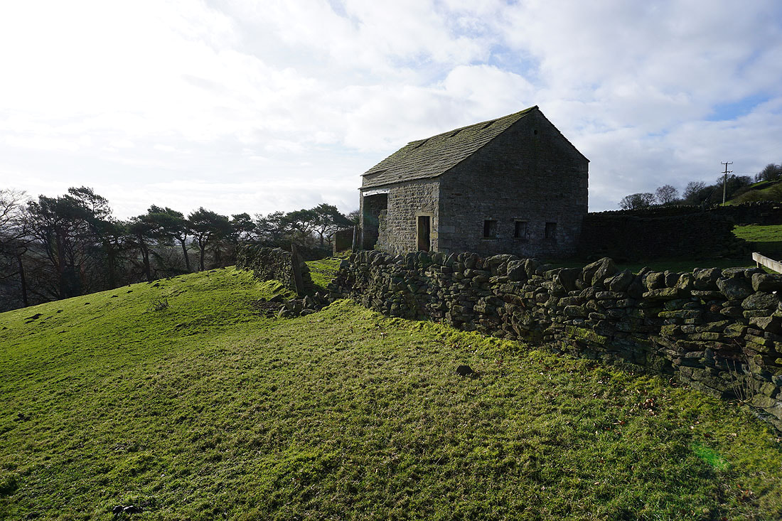
Passing a barn on the way down to Bank Ends..
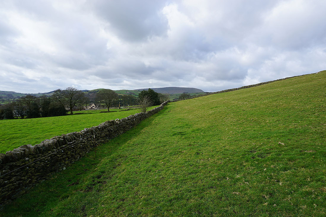
Turning round to the left and Pendle Hill puts in an appearance above the surrounding moors
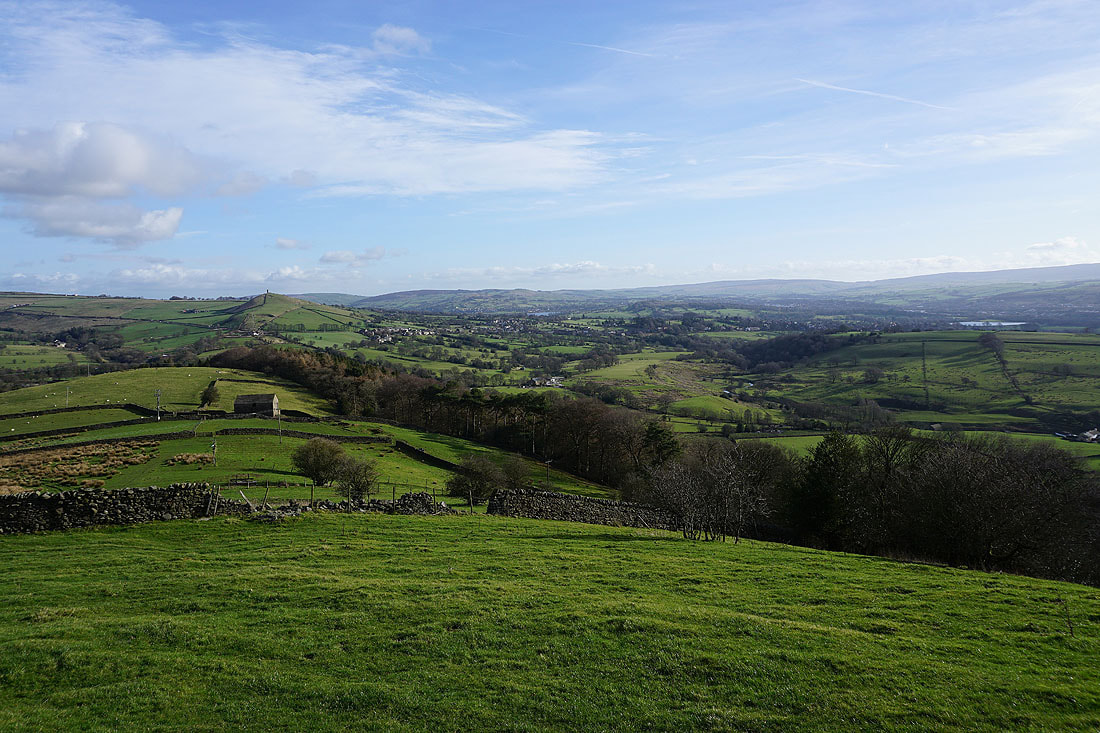
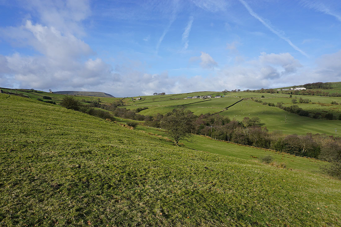
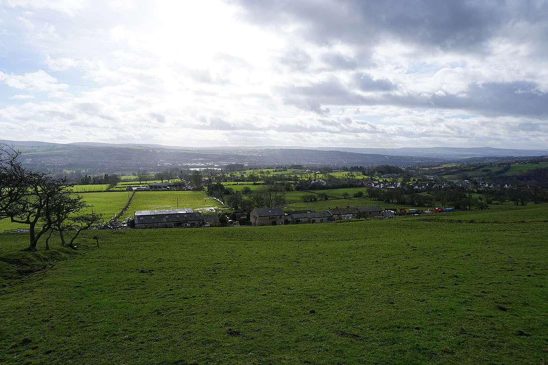
Looking across the valleys of Blacko Water and Pendle Water as I make my way up to Blacko
It looks and feels like a spring morning
On the outskirts of Blacko
Looking back to Blacko Laiths with Pendle Hill in the distance
Above Blacko Hill Side Farm and looking south to Higherford and Barrowford
Foulridge Lower Reservoir from Blacko Hill
Stansfield Tower on Blacko Hill above Tower Farm on the left with Pendle Hill in the distance on the right
The moorland of Weets Hill in the distance as I follow the footpath north to join the Pendle Way at Admergill Pasture
On the Pendle Way above Admergill Pasture with Burn Moor on the other side of the valley of Admergill Water
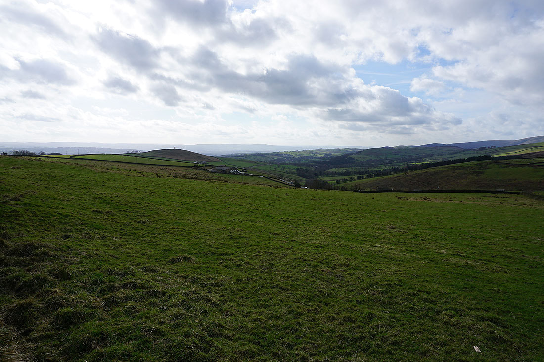
Looking back to Blacko Hill and the Pendle countryside
Pendle Hill pokes its head above the nearby moors
Boulsworth Hill and the South Pennines in the distance as I take a look back while walking up Gisburn Old Road
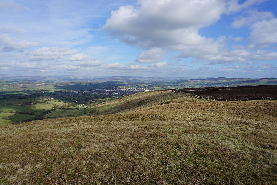
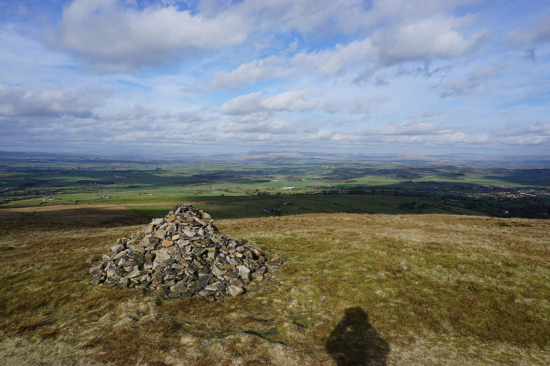
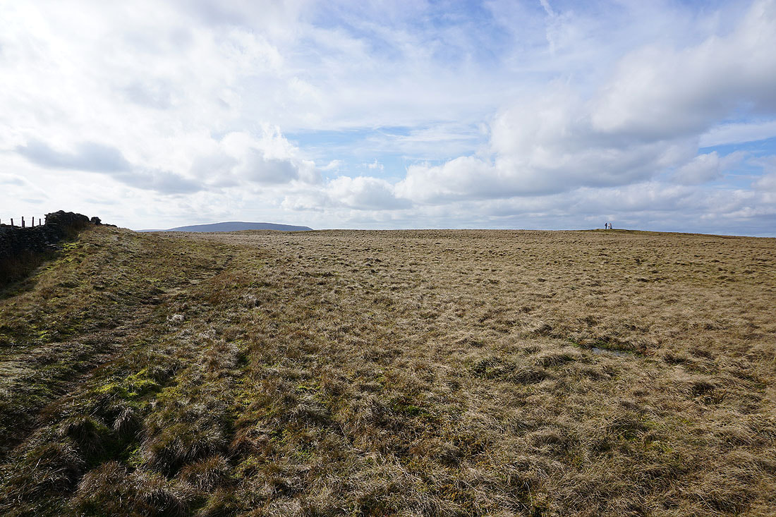
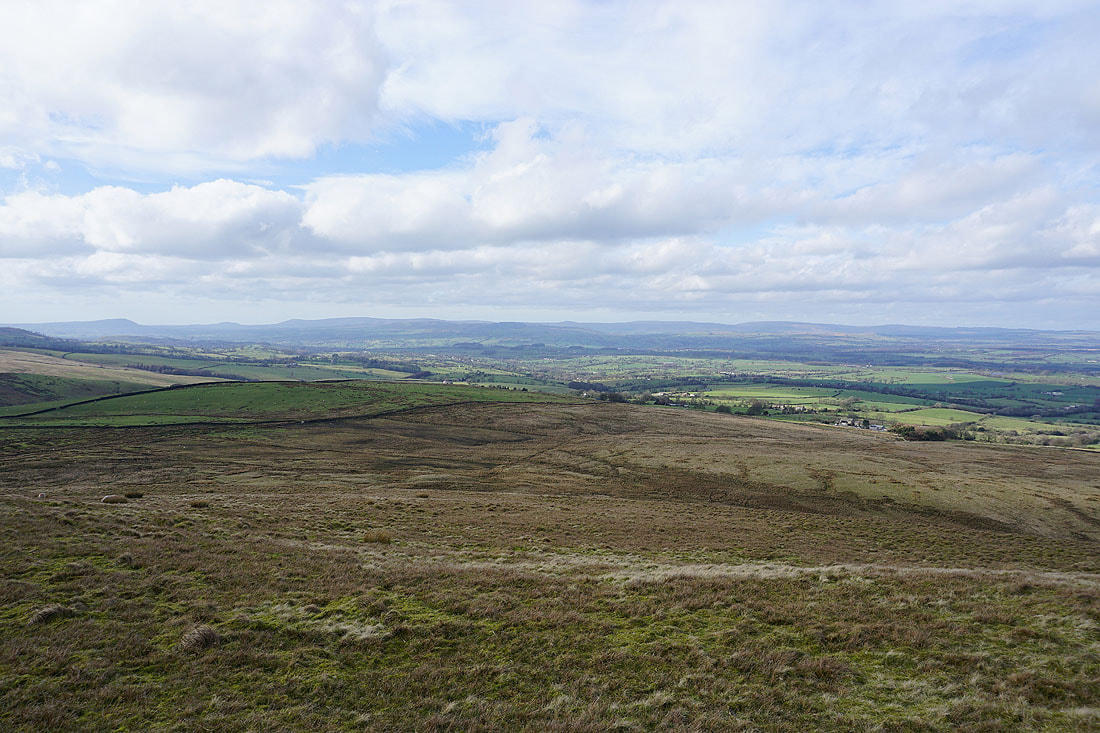
A short time later and I'm on the summit of Weets Hill. At the northeastern corner of the hill I can see the town of Barnoldswick below with Barden Moor in the Yorkshire Dales in the distance.
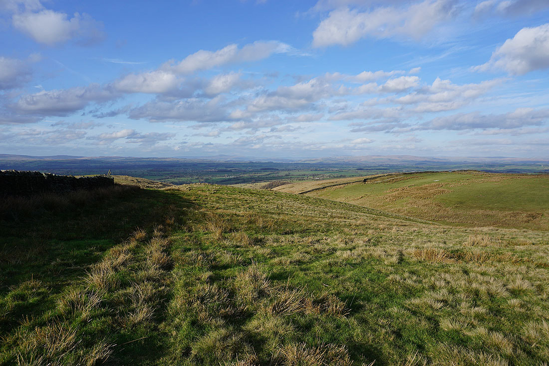
There's a great view north to Ingleborough and Penyghent
It's a beautiful afternoon for being up here
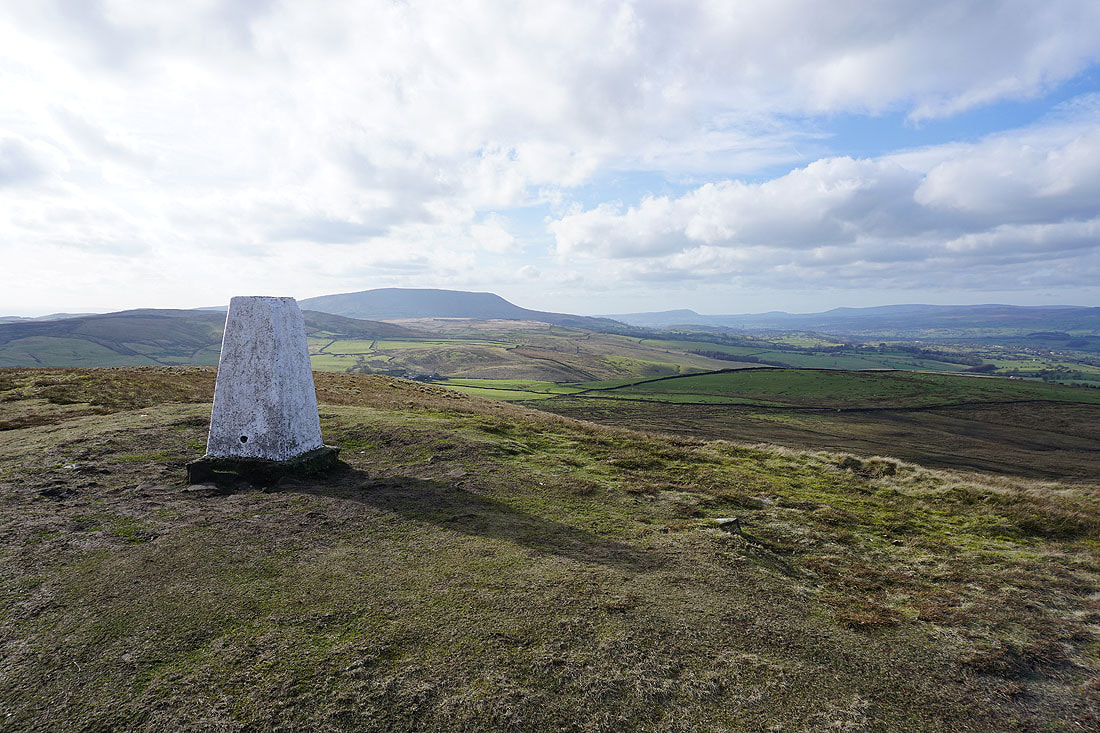
Pendle Hill from the trig point on Weets Hill
A long line of Bowland fells in the distance. From Longridge Fell on the left, through Beacon Fell, Parlick and Fair Snape Fell; to White Hill, Great Harlow and Bowland Knotts on the right.
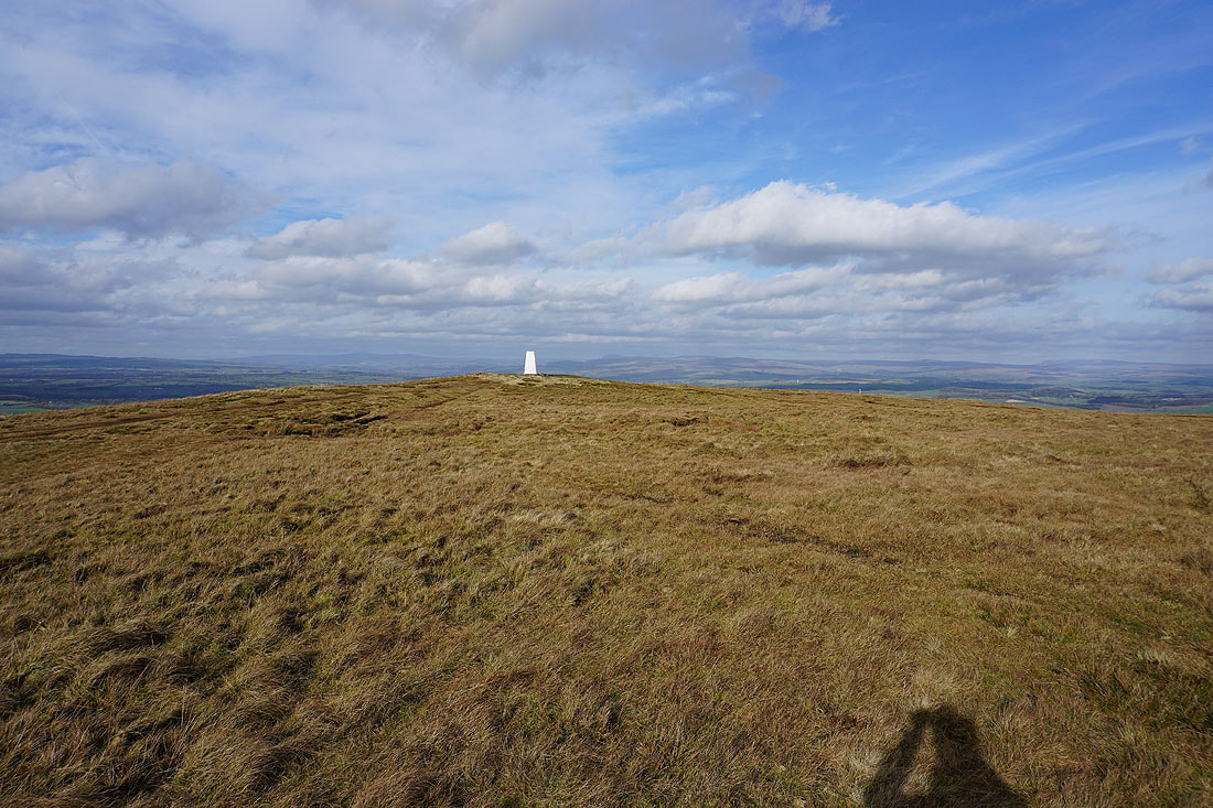
Great views and a fantastic skyscape
Boulsworth Hill and the South Pennines in the distance..
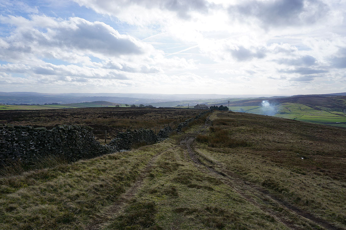
..as I head back to Weets House Farm to pick up the Pennine Bridleway
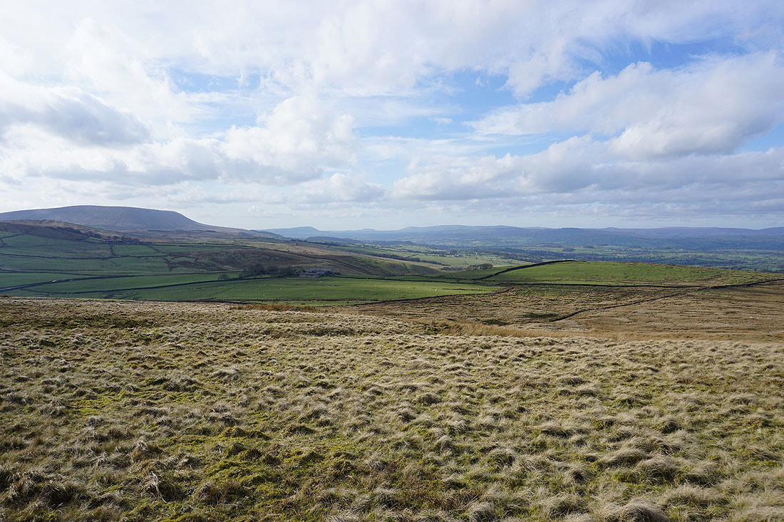
Pendle Hill and the Forest of Bowland from Weets House Farm
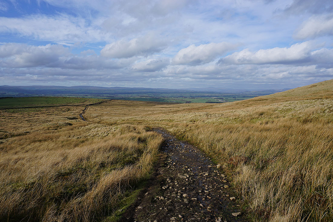
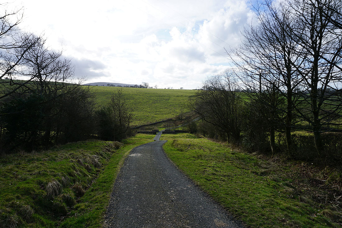
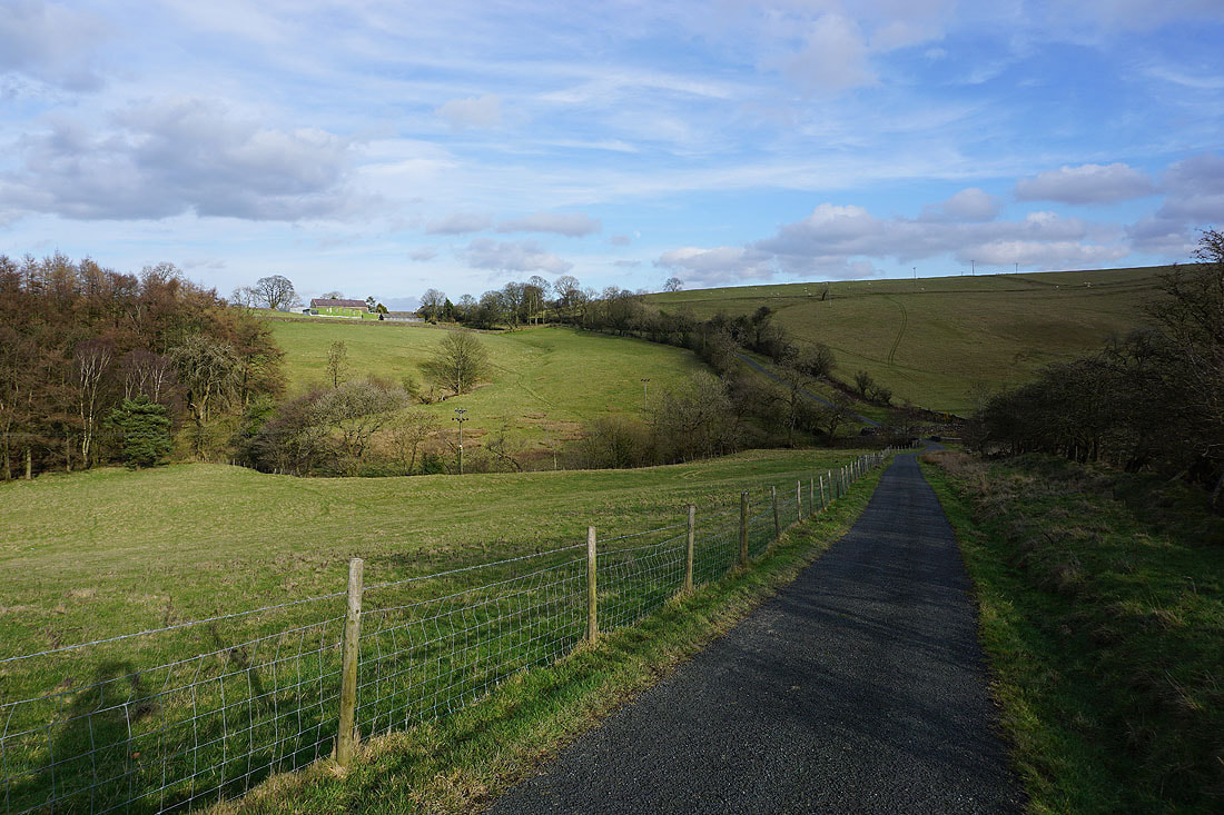
Heading north on the Pennine Bridleway down to Lane Side and Stocks Lane....
After crossing the A682 I'm on the gated road of Stocks Lane. Looking back as I head for Middop Hall.
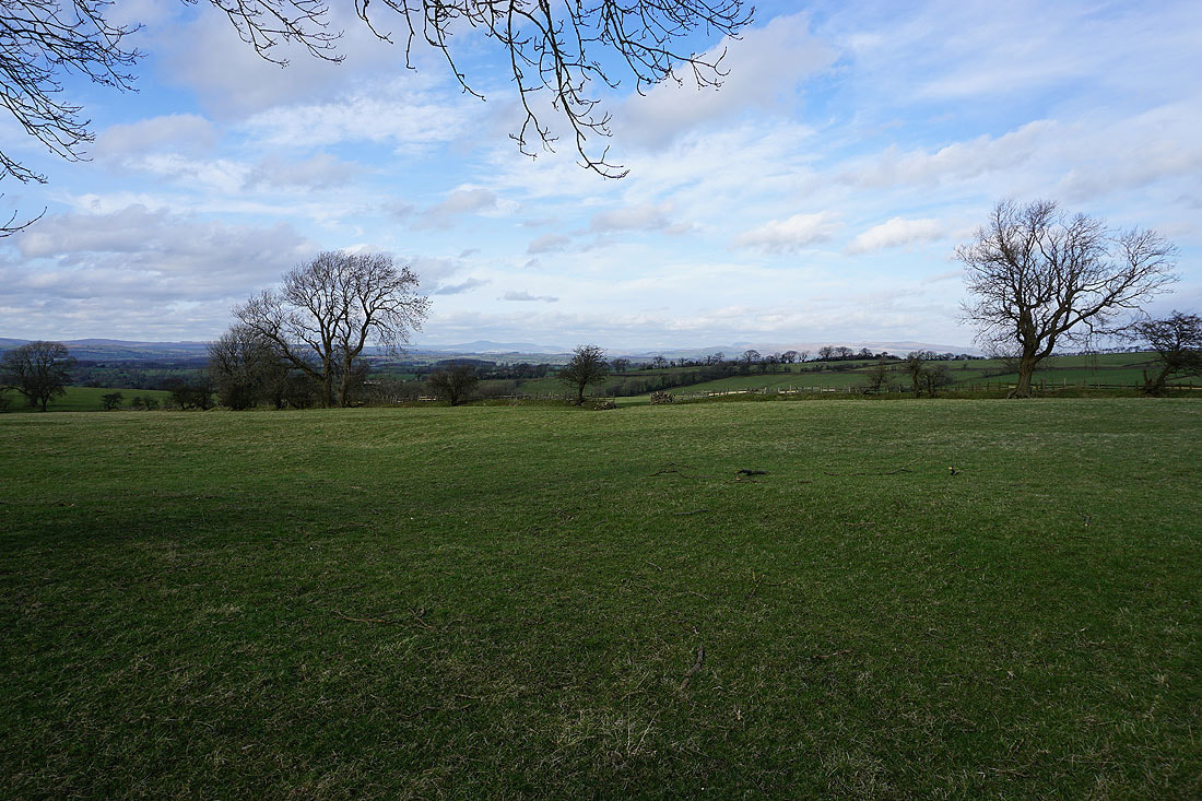
Ingleborough and Penyghent in the distance across the fields
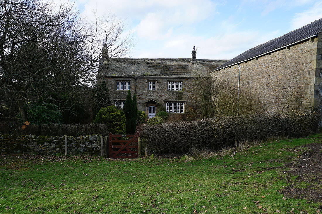
Middop Hall
Continuing west along the gated road of Whytha Road
Looking back with Middop Hall up on the hillside on the left
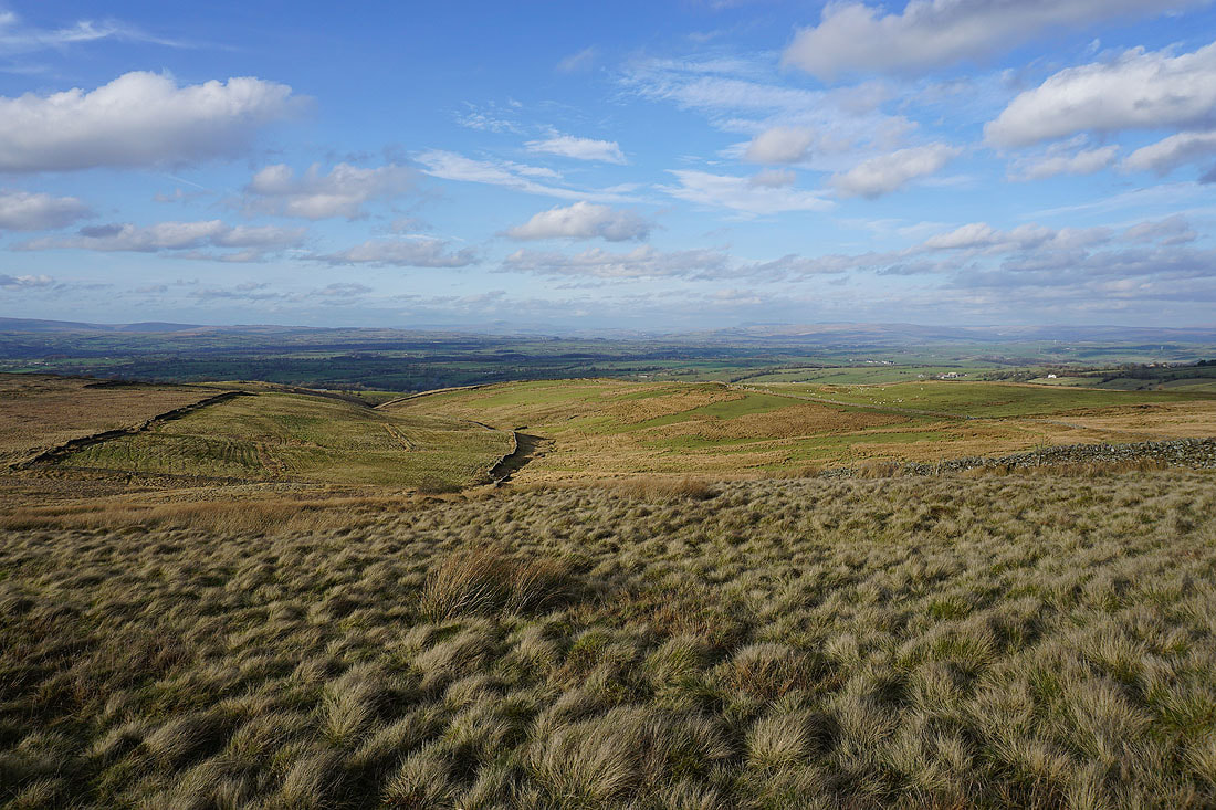
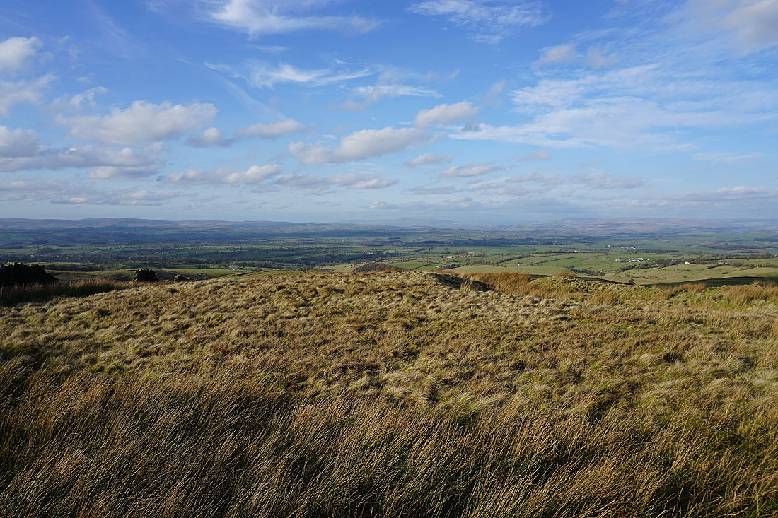
There's a fantastic view across to the Yorkshire Dales as I follow the footpath up the track to Higher Gills Farm and then up onto Rimington Moor...
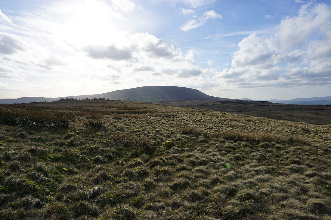
Pendle Hill from Rimington Moor
Pendle Hill, Twiston Moor and the Forest of Bowland
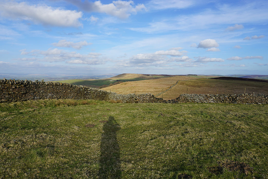
Last chance to take in that view before I cross to the other side of the moor
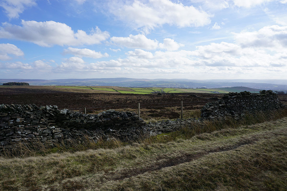
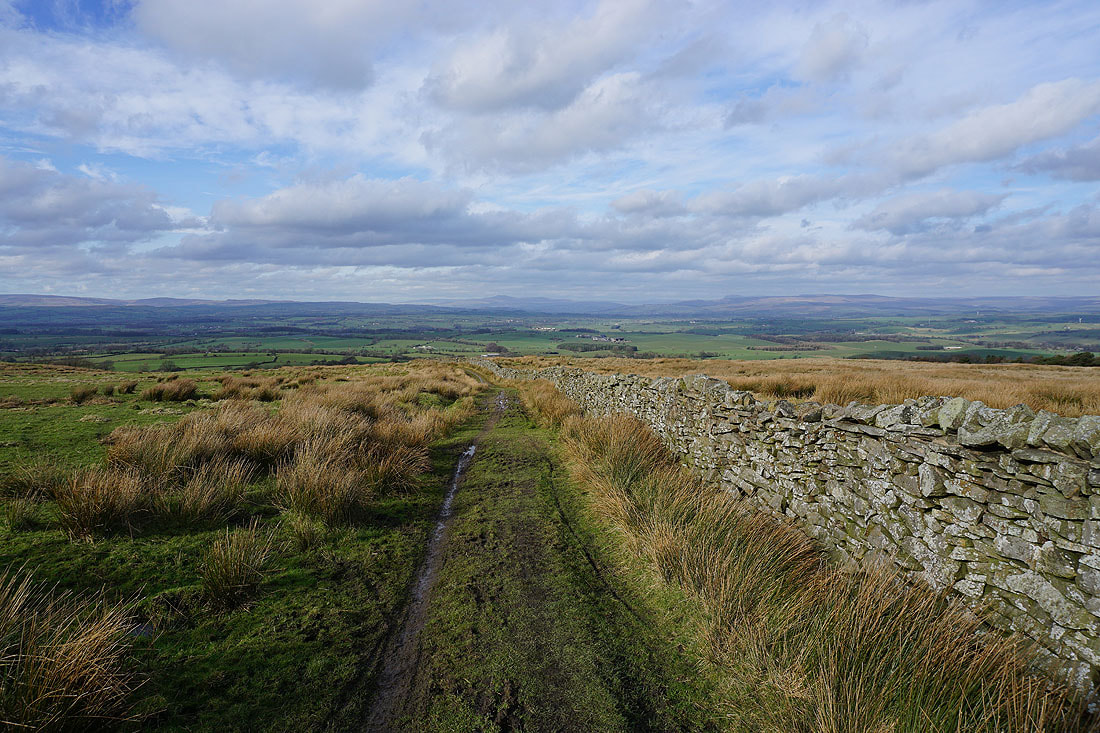
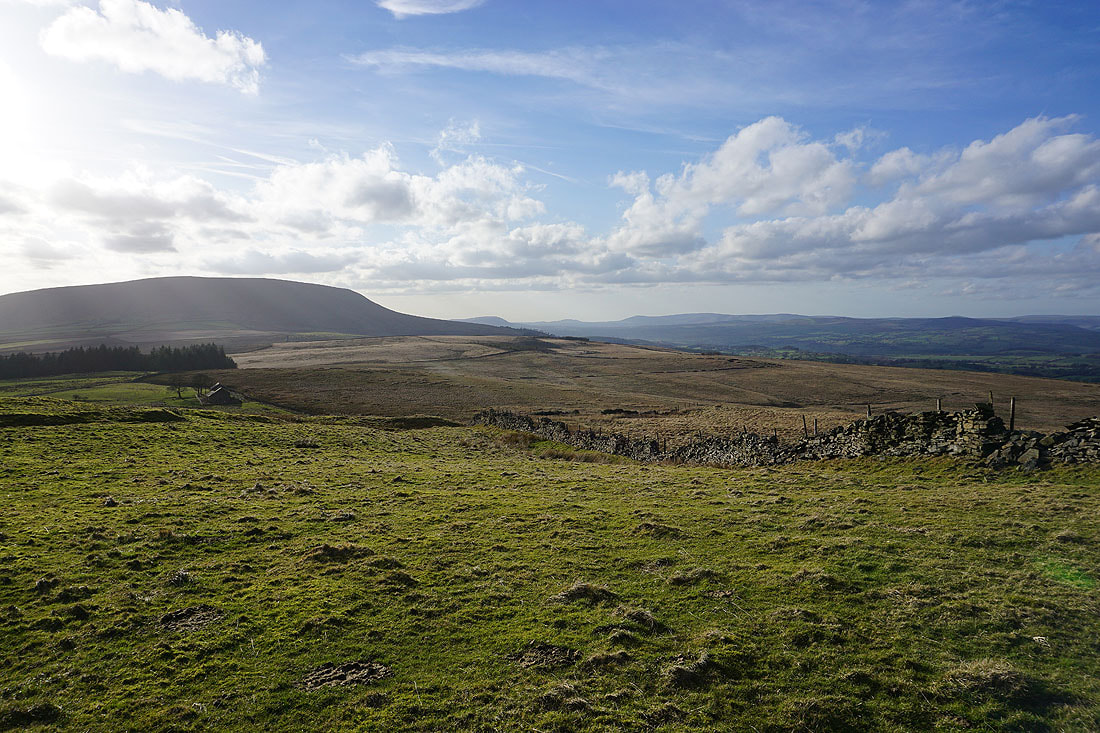
Looking across to Weets Hill
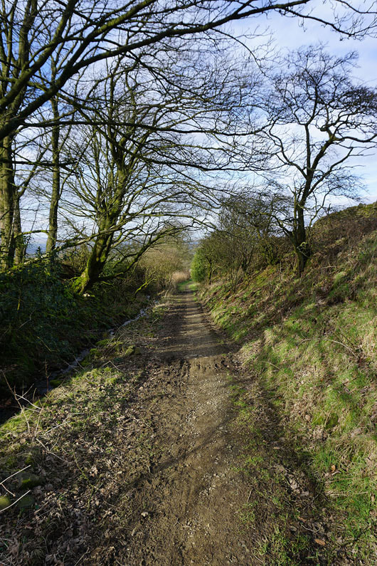
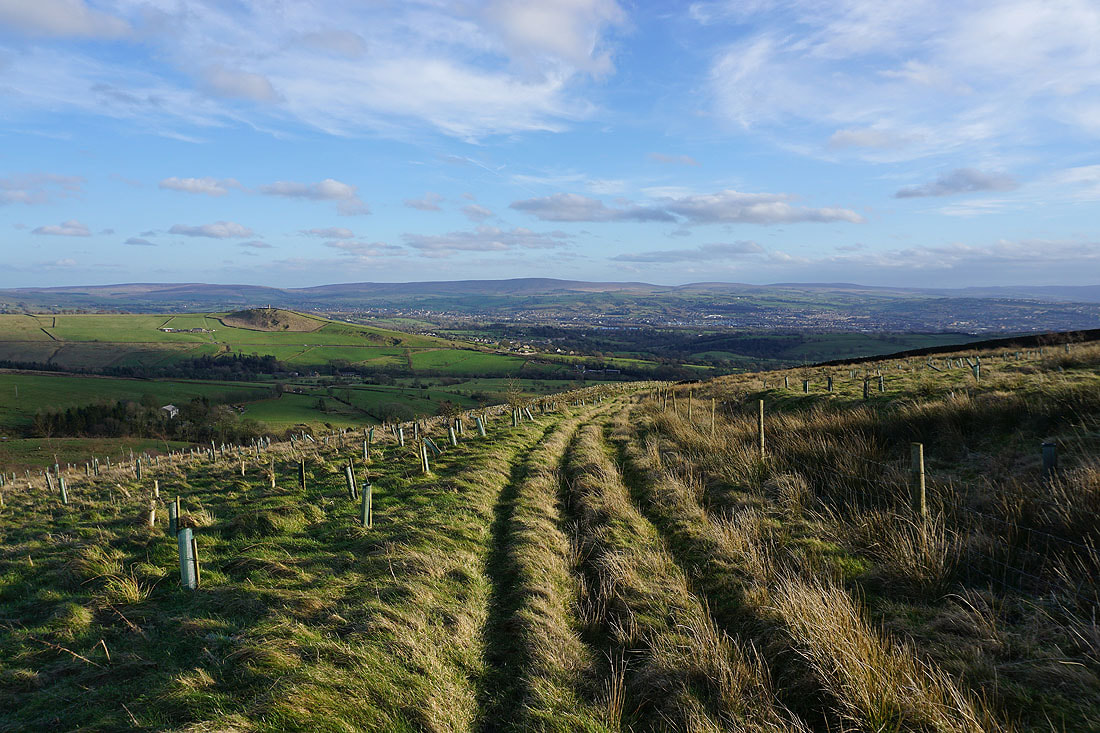
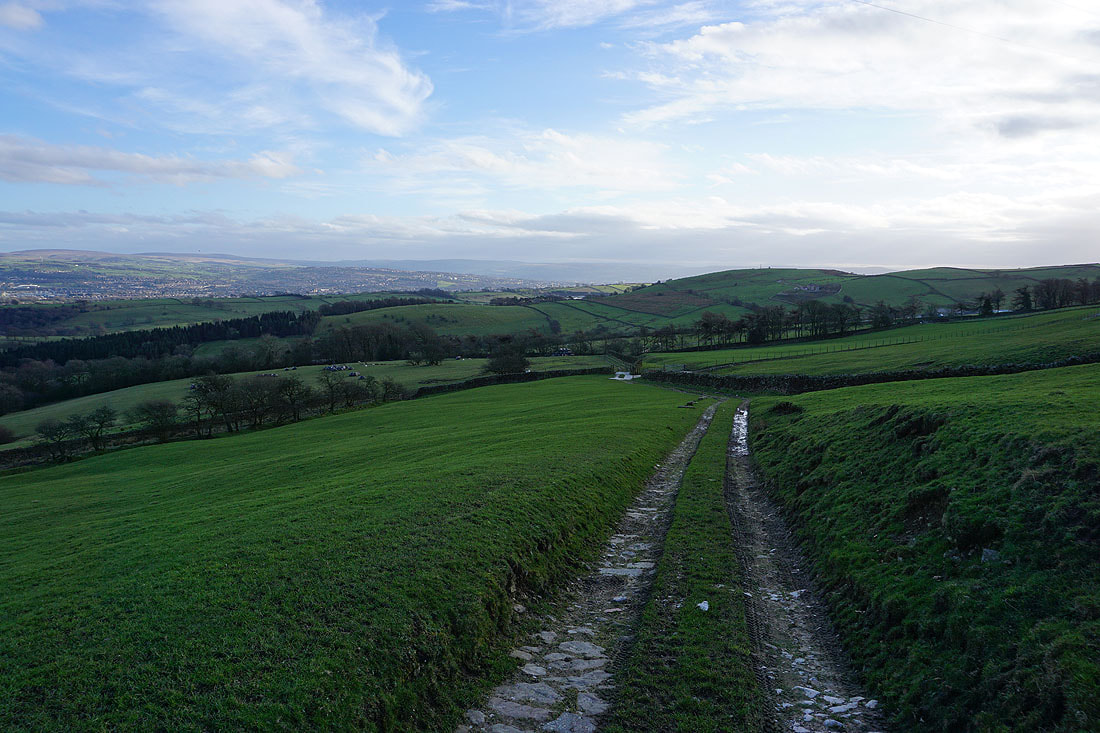
Following the path down from Wheathead Height to Wheathead Lane..
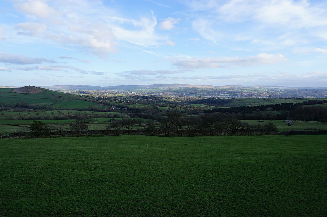
Blacko Hill, Colne and Boulsworth Hill
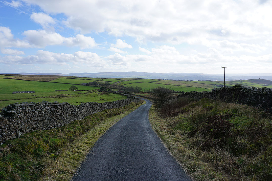
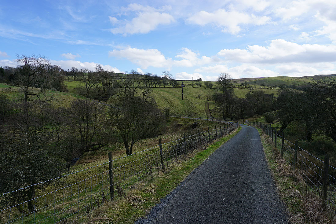
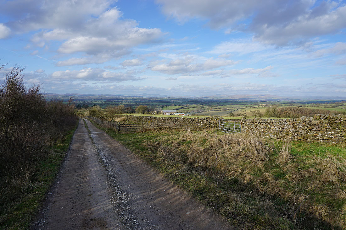
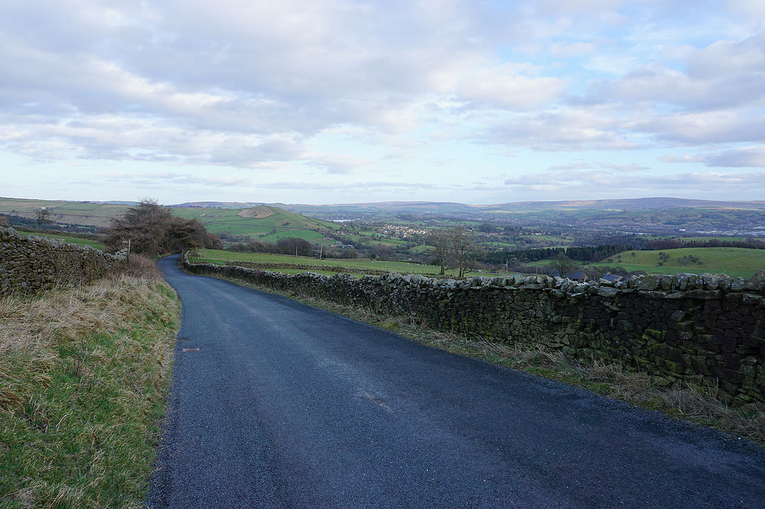
Blacko Hill and Blacko in the distance as I walk up Wheathead Lane
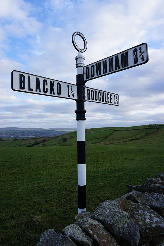
Great looking signpost at the junction of Wheathead Lane and Black Moss Road
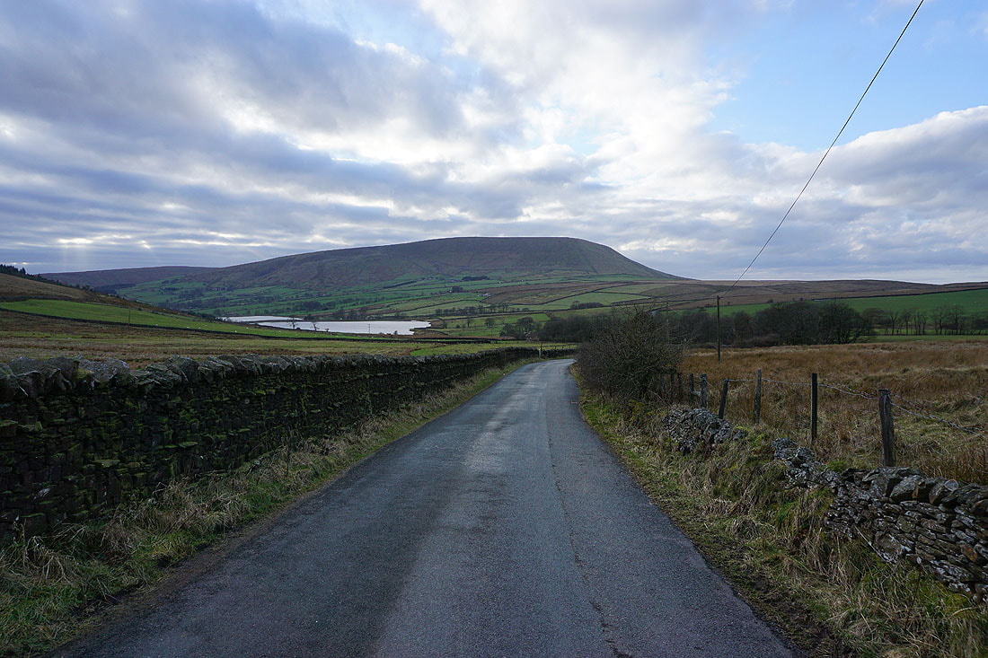
Pendle Hill as I walk down Black Moss Road
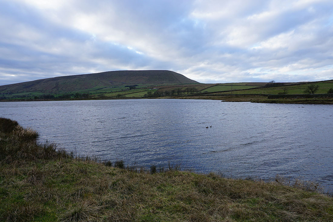
Pendle Hill from Upper Black Moss Reservoir
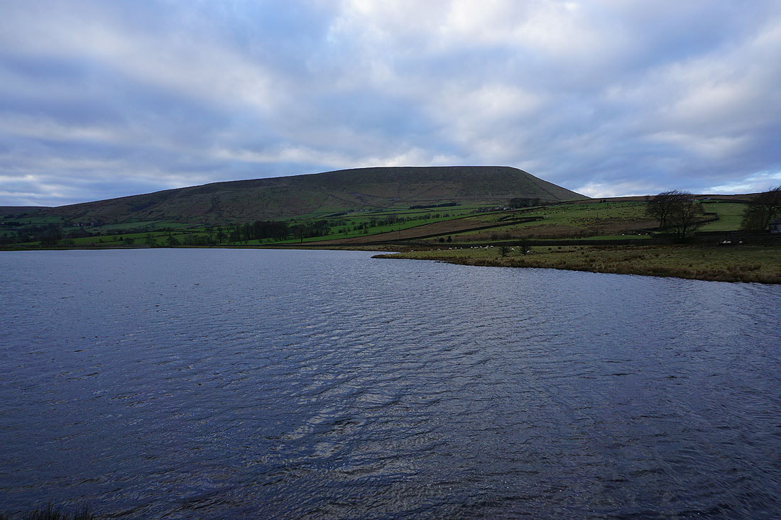
and finally, Pendle Hill from Lower Black Moss Reservoir
