16th January 2016 - The Howgills
Walk Details
Distance walked: 7.8 miles
Total ascent: 2654 ft ascent
OS map used: OL19 - Howgill Fells & Upper Eden Valley
Time taken: 5.5 hrs
Route description: Sedbergh-Howgill Lane-Lockbank Farm-Winder-Arant Haw-Rowantree Grains-Calders-The Calf-Calders-Rowantree Grains-Arant Haw-Winder-Lockbank Farm-Howgill Lane-Sedbergh
During the past couple of winters I've attempted to do a walk in the Howgills when they've been covered in snow, in the hope of seeing the fantastic view from them looking across a snow covered landscape. Both times I was thwarted by a change in the weather that resulted in me not really seeing much at all because of low cloud. A change to colder weather saw snow falling on the high fells during the week and with a forecast of a fine weekend I was hoping it would be third time lucky. Then on Friday the forecast changed. Sunday didn't look good and Saturday offered a fine morning before the weather started to deteriorate. I decided to set off earlier than usual and get to Sedbergh not long after sunrise. It turned out to be a good decision. Things started rather grey with a lot of thick high cloud which made any sunshine very watery but as the morning wore on more in the way of blue skies came across and there were a few hours of glorious weather. Blue skies, sunshine, excellent visibility and light winds even high up made it a wonderful day. The weather only started to go downhill as I was, from Arant Haw to Winder then Sedbergh.
After parking on Howgill Lane in Sedbergh I walked up the road to Lockbank Farm. I then made my way through the farmyard and after a steep climb I reached the trig point on Winder. From Winder I picked up the bridleway that heads for The Calf but I wasn't on it for that long as I left it for the climb to the top of Arant Haw. Back on the bridleway from Arant Haw to cross Rowantree Grains and up to Calders and then on to The Calf. After spending the best part of hour at The Calf my route of return was simply a reverse of that up.
Route map
© Crown copyright. All rights reserved. License number PU 100034184.
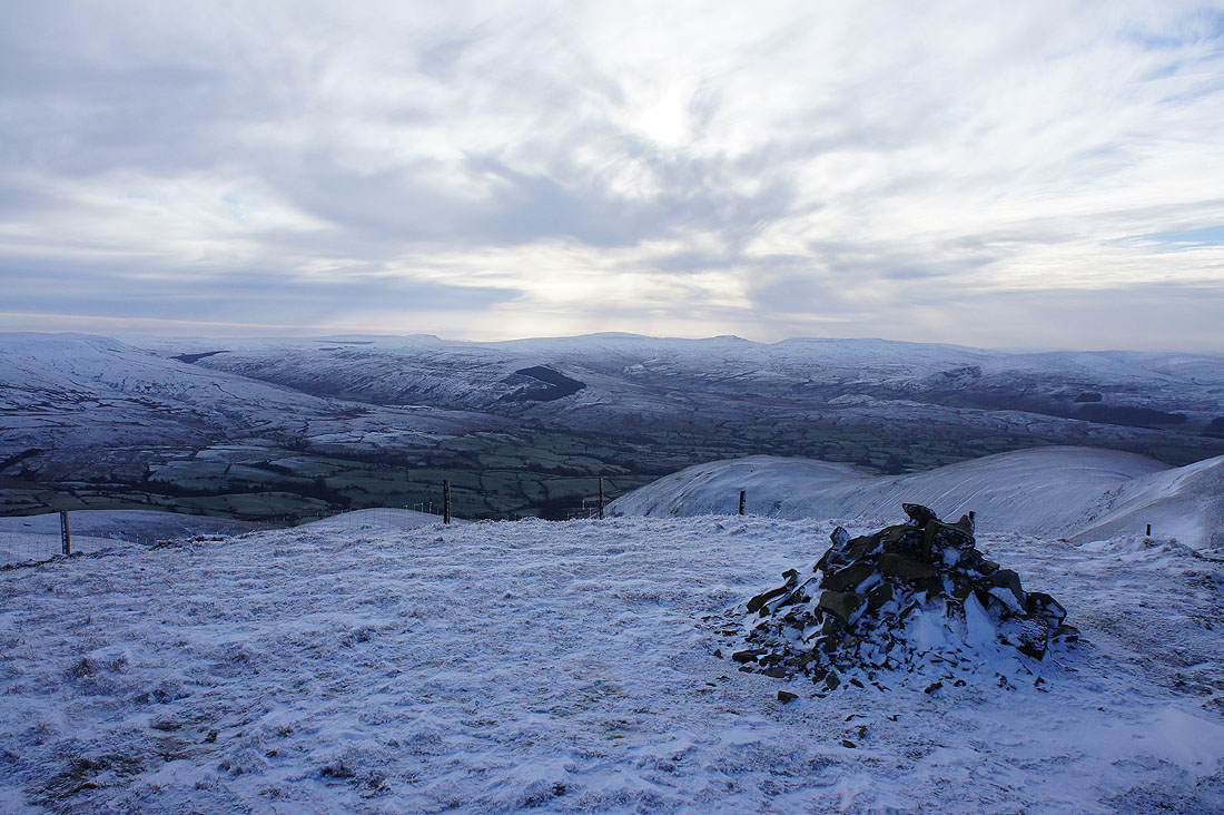
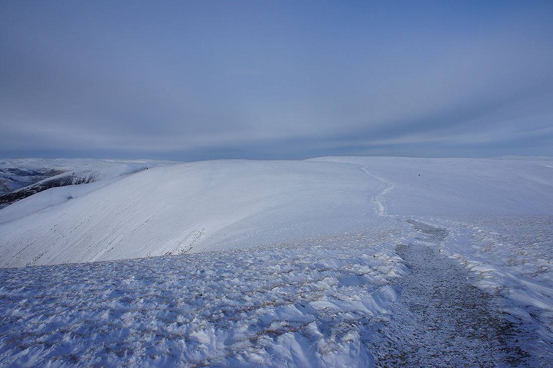
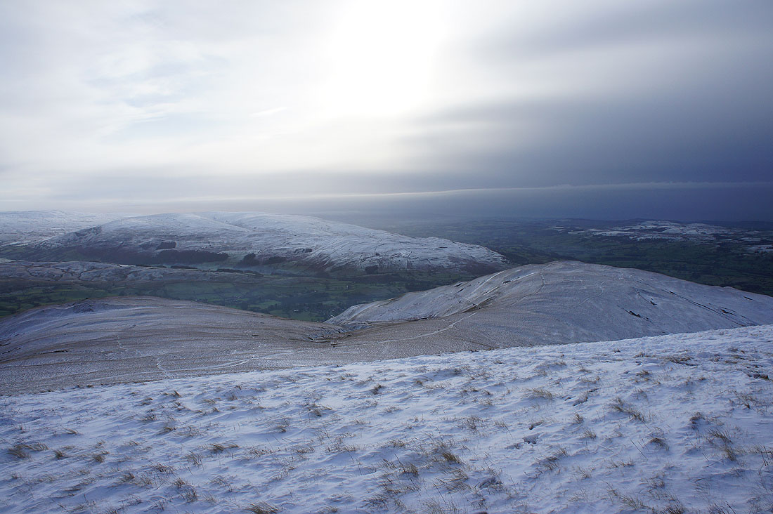
After setting out from Sedbergh, on Winder for the first time today. Pretty grey at the moment with all the high cloud around.
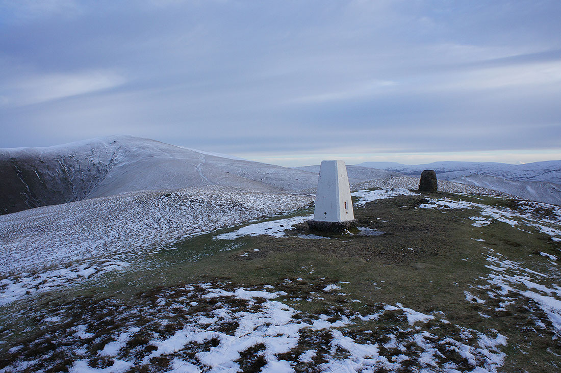
Looking across the Rawthey valley to the sun rising over Whernside
and across the Lune valley to the Lakes
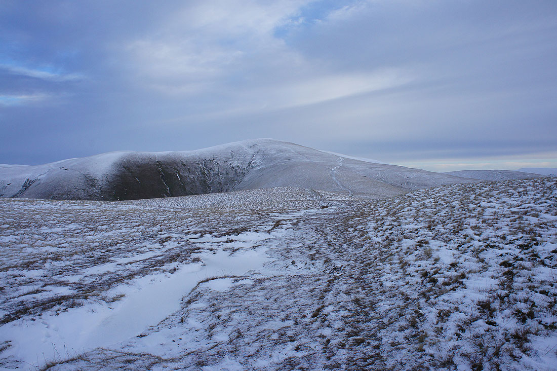
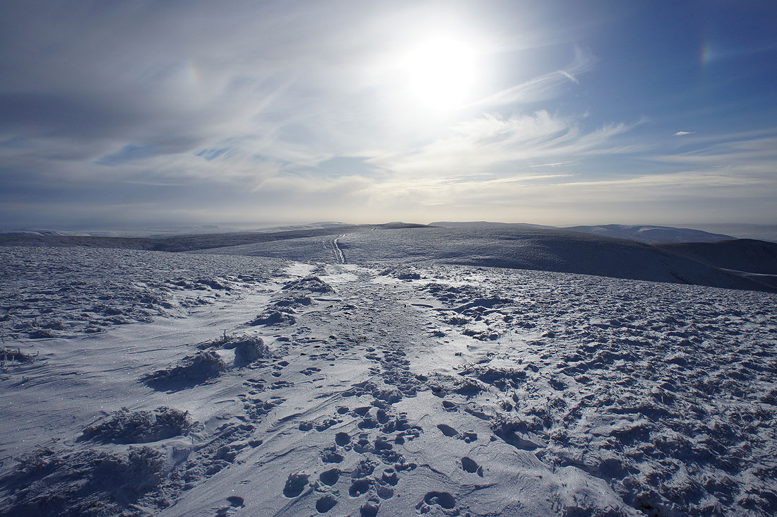
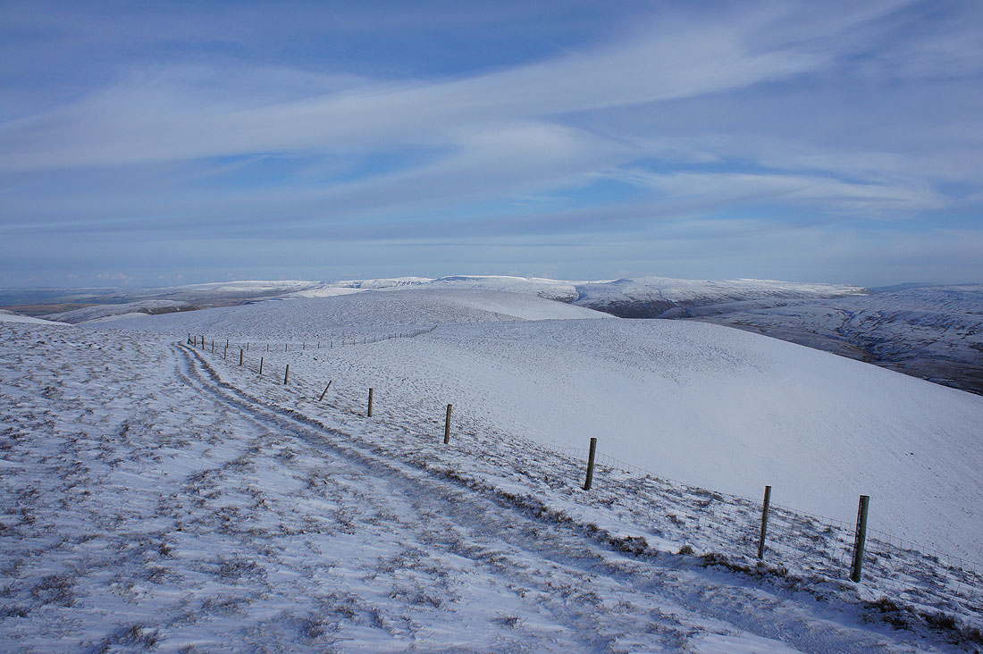
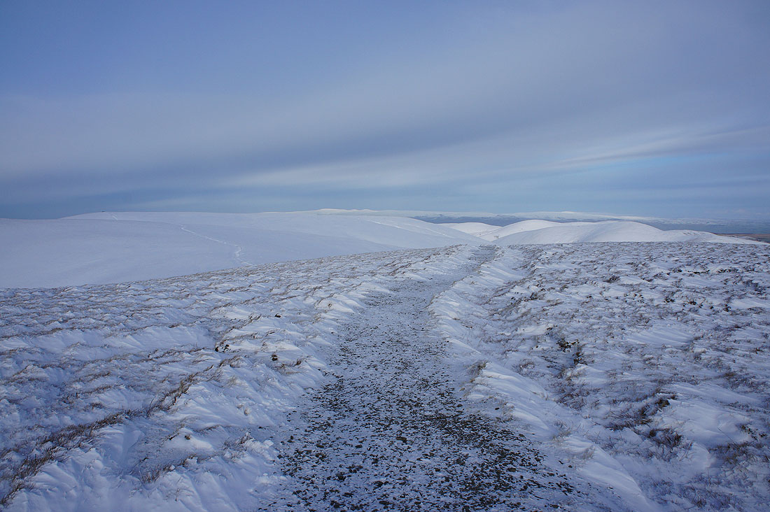
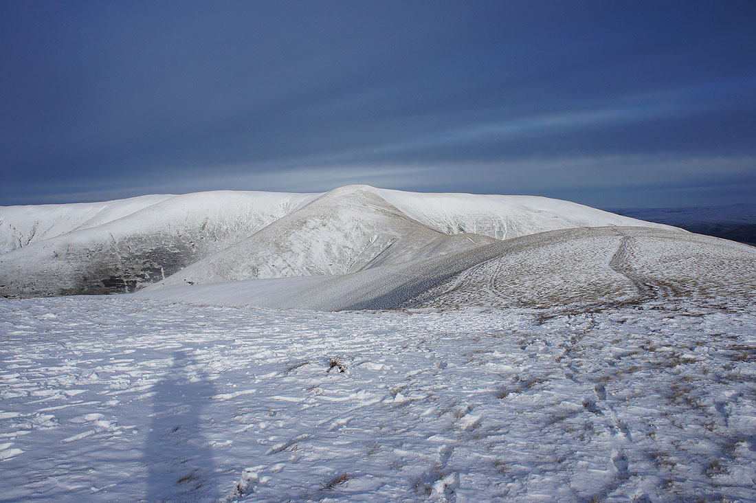
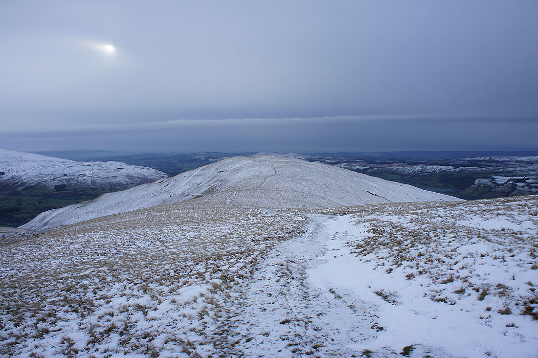
Heading for Arant Haw
On the summit of Arant Haw and blue skies are now coming over. The sun being out makes so much difference. The Calf and Calders still to come.
Looking into the sun and it's hard to make Penyghent, Whernside and Ingleborough in the Yorkshire Dales
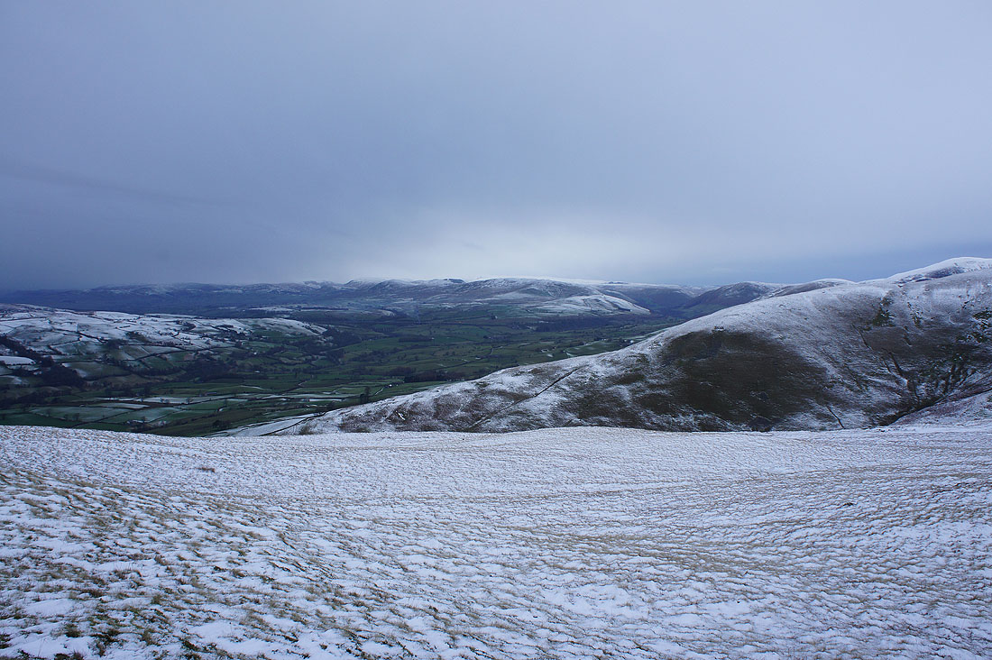
Winder below
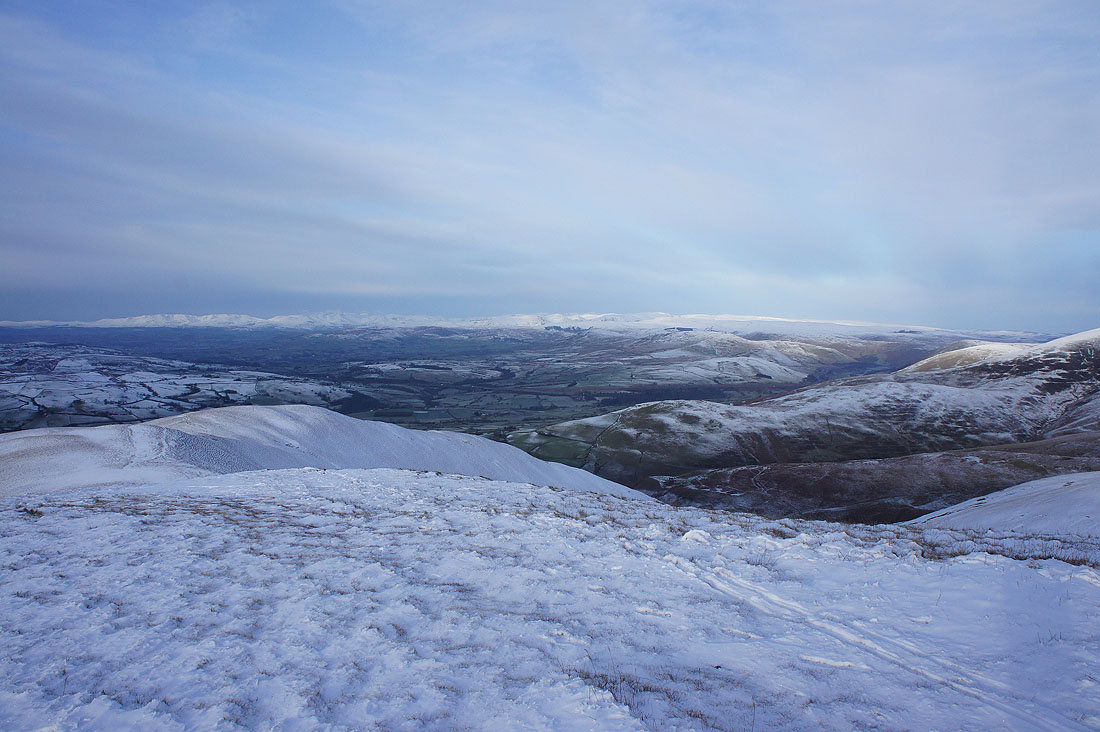
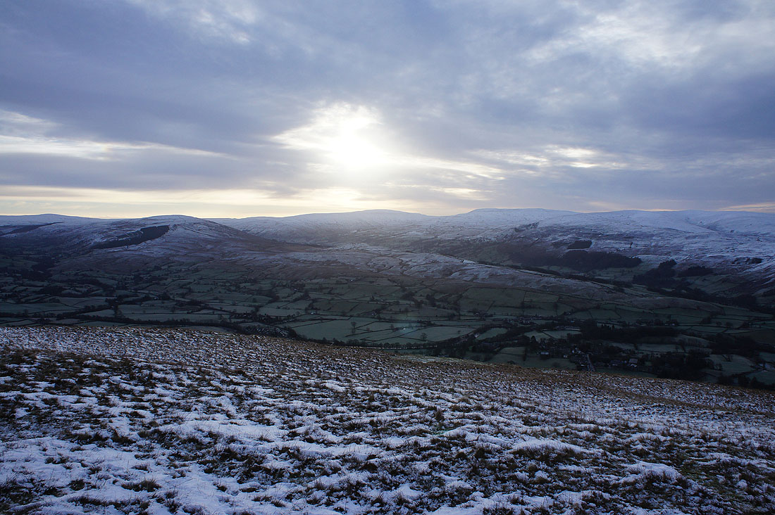
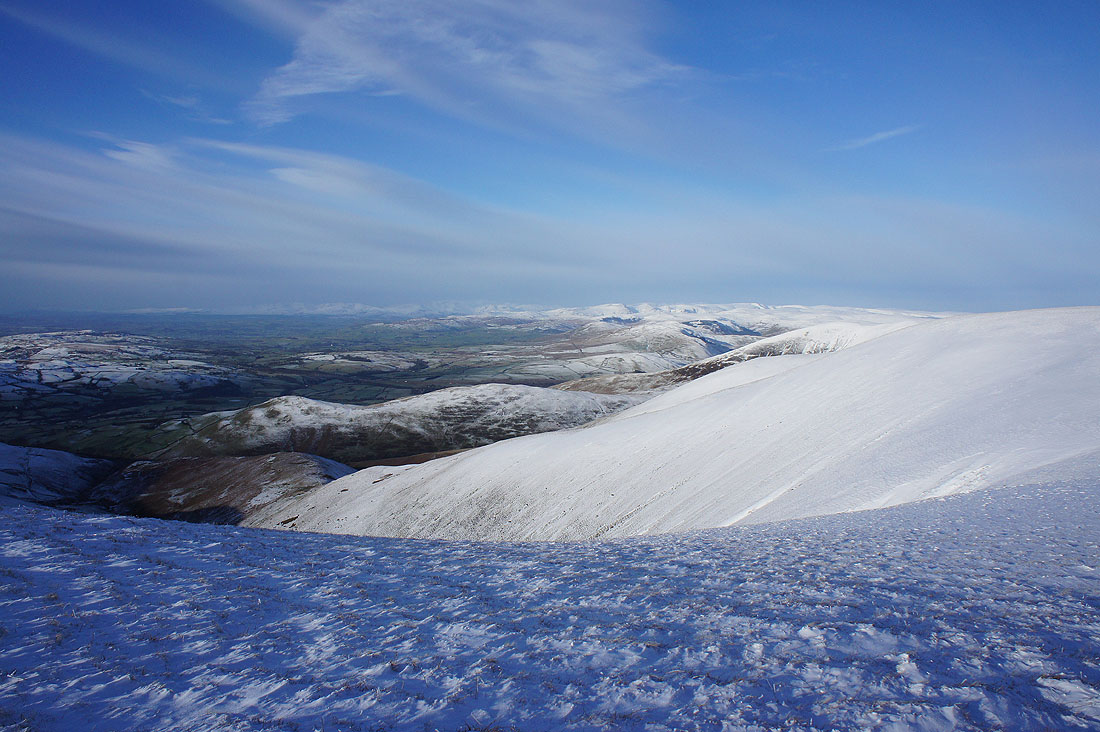
A good view across to the Lake District now
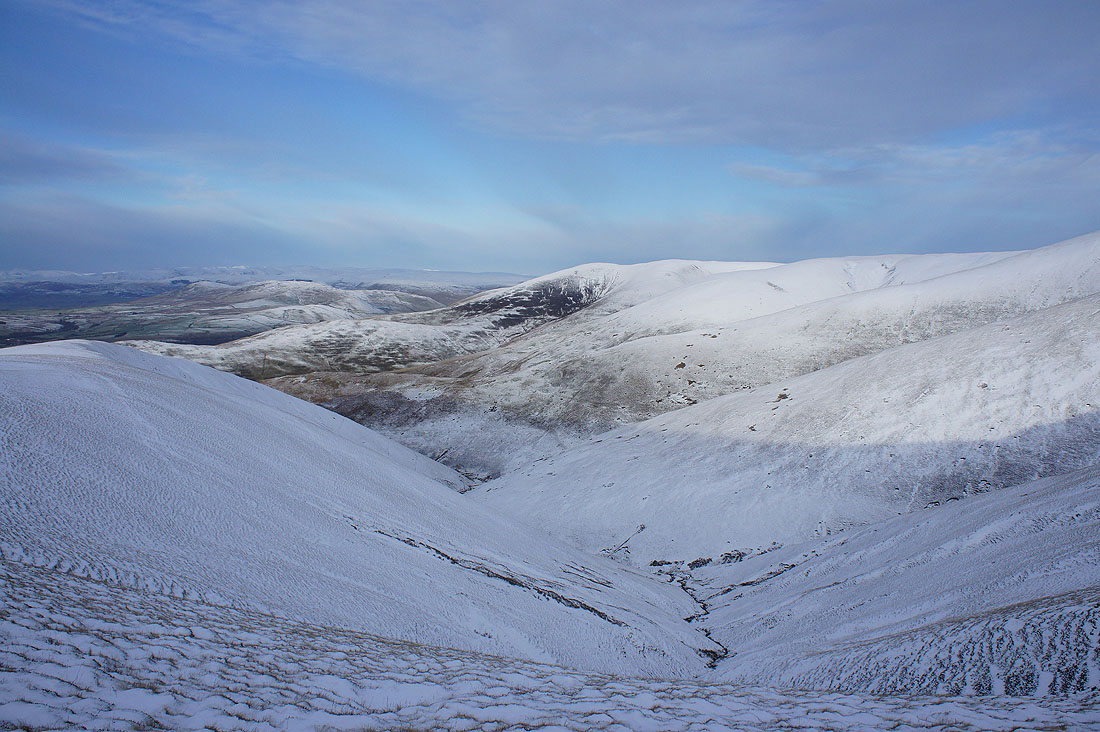
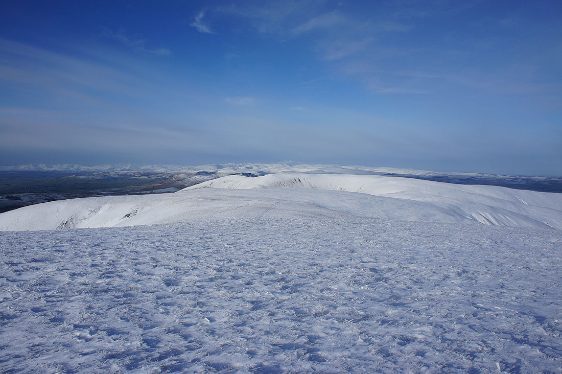
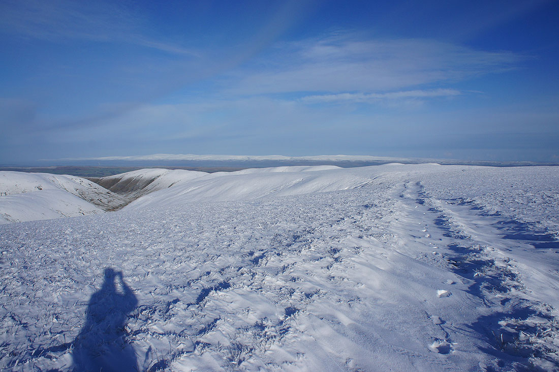
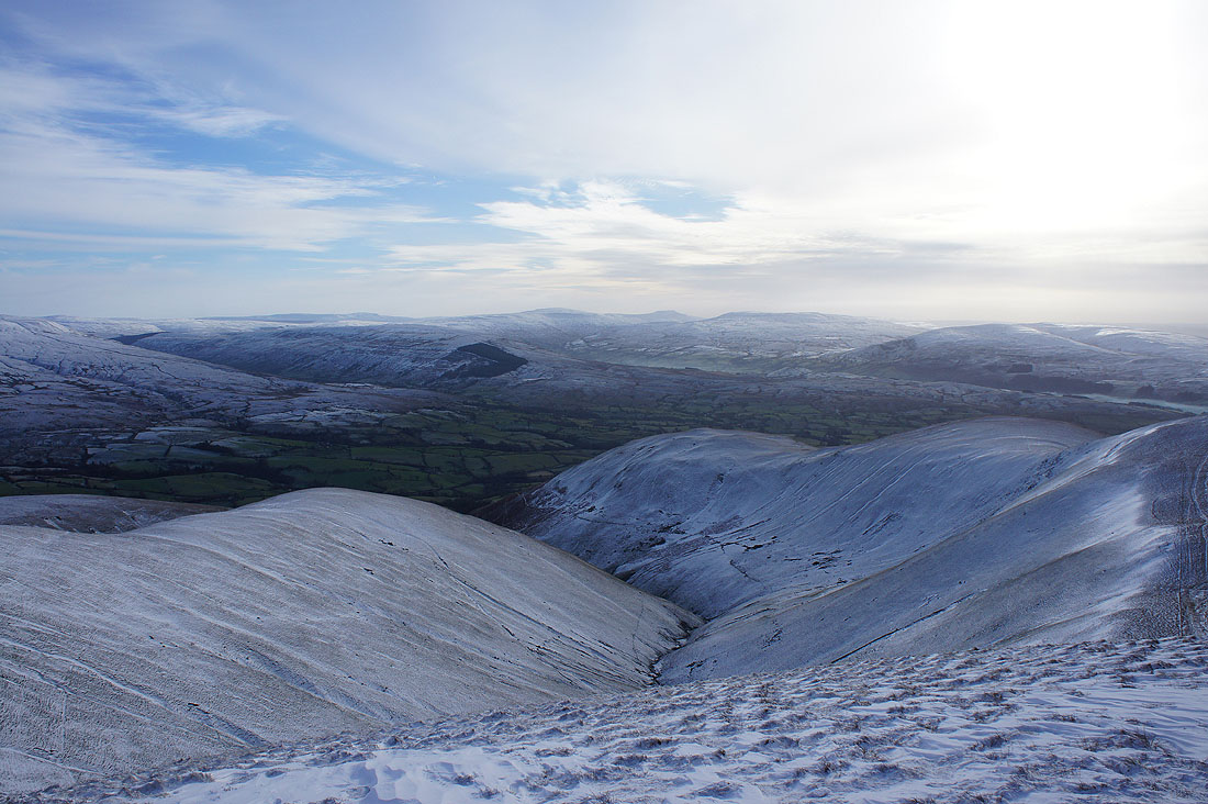
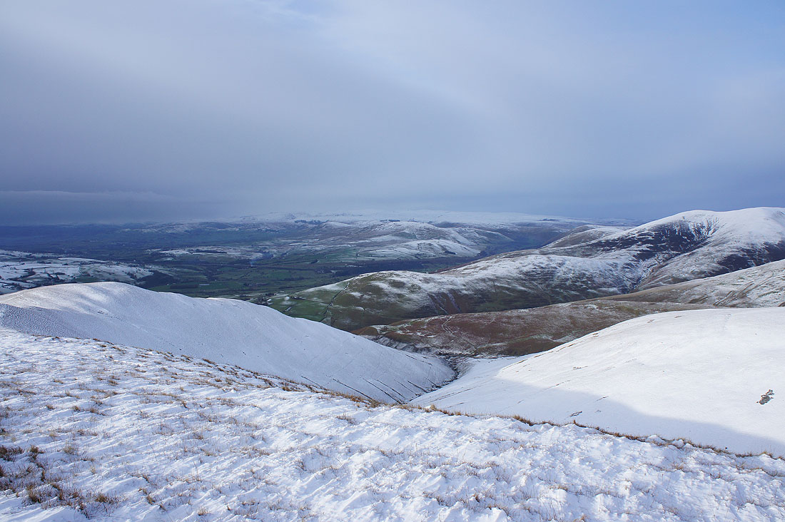
From here it's clear to see the Howgill's steep slopes and many ridges
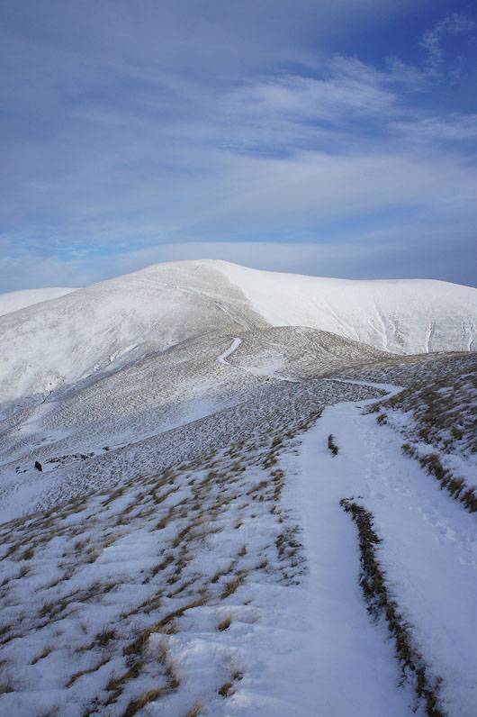
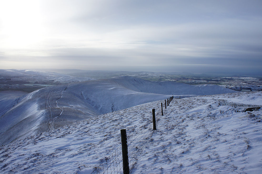
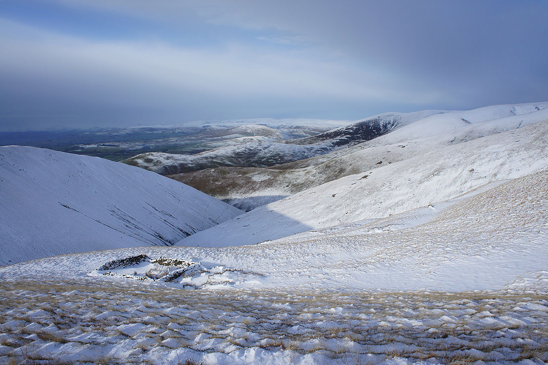
Heading for Calders
Passing the sheepfold on Rowantree Grains. The sun is shining brightly on some of the Lakeland fells in the distance.
Penyghent, Whernside and Ingleborough from Calders for the first time today
This view with the ridges below and the Lakes in the distance caught my eye
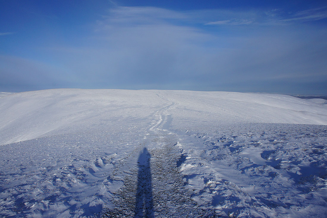
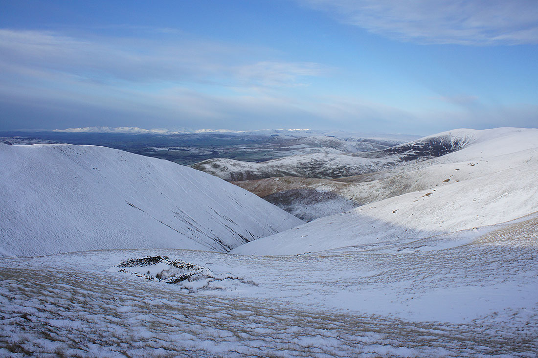
The Calf is in sight
Yarlside in the northeastern corner of the Howgills
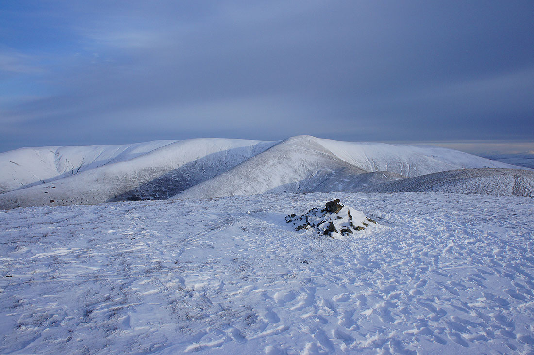
Looking back to Calders as I reach The Calf
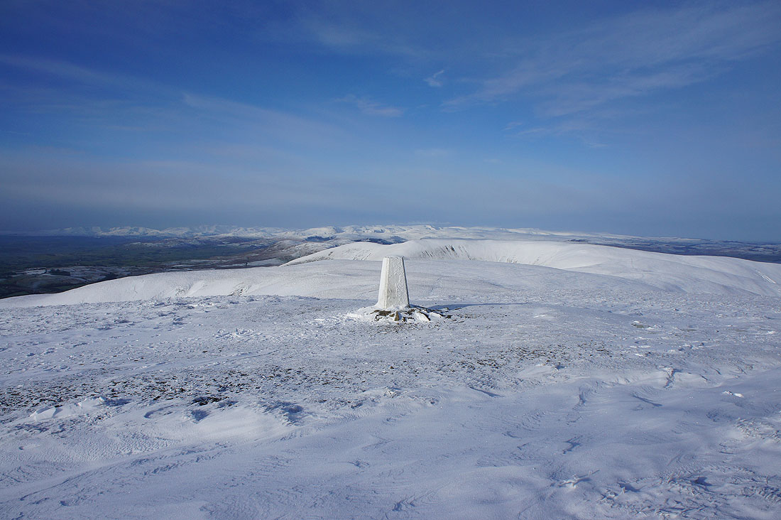
There's a fantastic view across to the Lake District today. It was surprising just how much detail I could make out.
and without the trig point in the way
Morecambe Bay out to the southwest
Cross Fell and the rest of the North Pennines on the other side of the Eden Valley
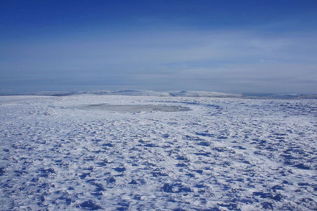
High Seat, Wild Boar Fell and Swarth Fell beyond the frozen summit pool
Time I was heading back. I've spent the best part of an hour here.
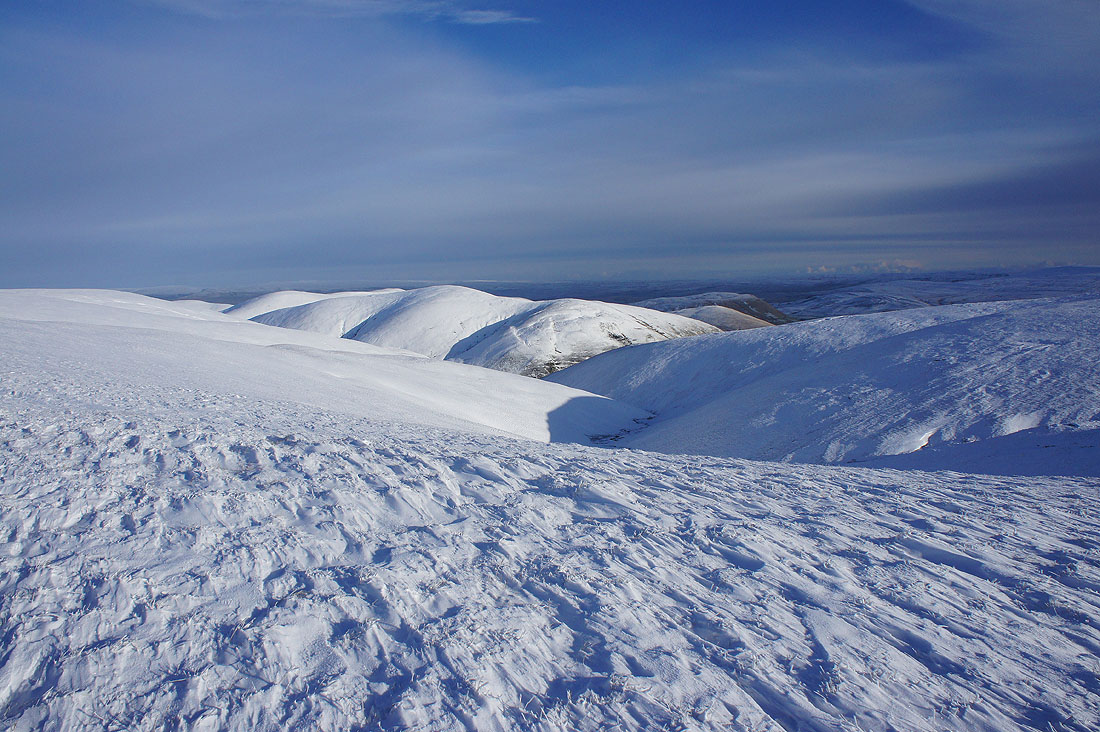
Yarlside and in the distance on the right, Nine Standards Rigg and Wild Boar Fell
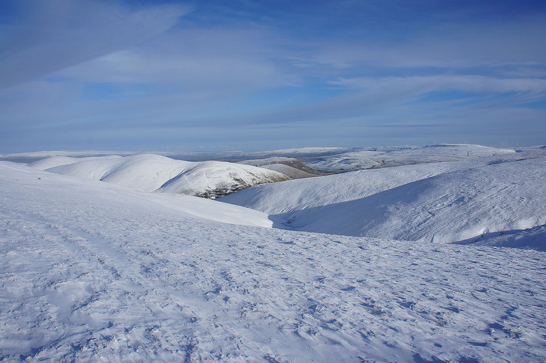
Bram Rigg Top and The Calf as I arrive back on Calders. The sunshine is starting to disappear.
Nine Standards Rigg, High Seat and Wild Boar Fell beyond the neighbouring hill of Great Dummacks
Penyghent, Whernside, Ingleborough, Great Coum and Middleton Fell
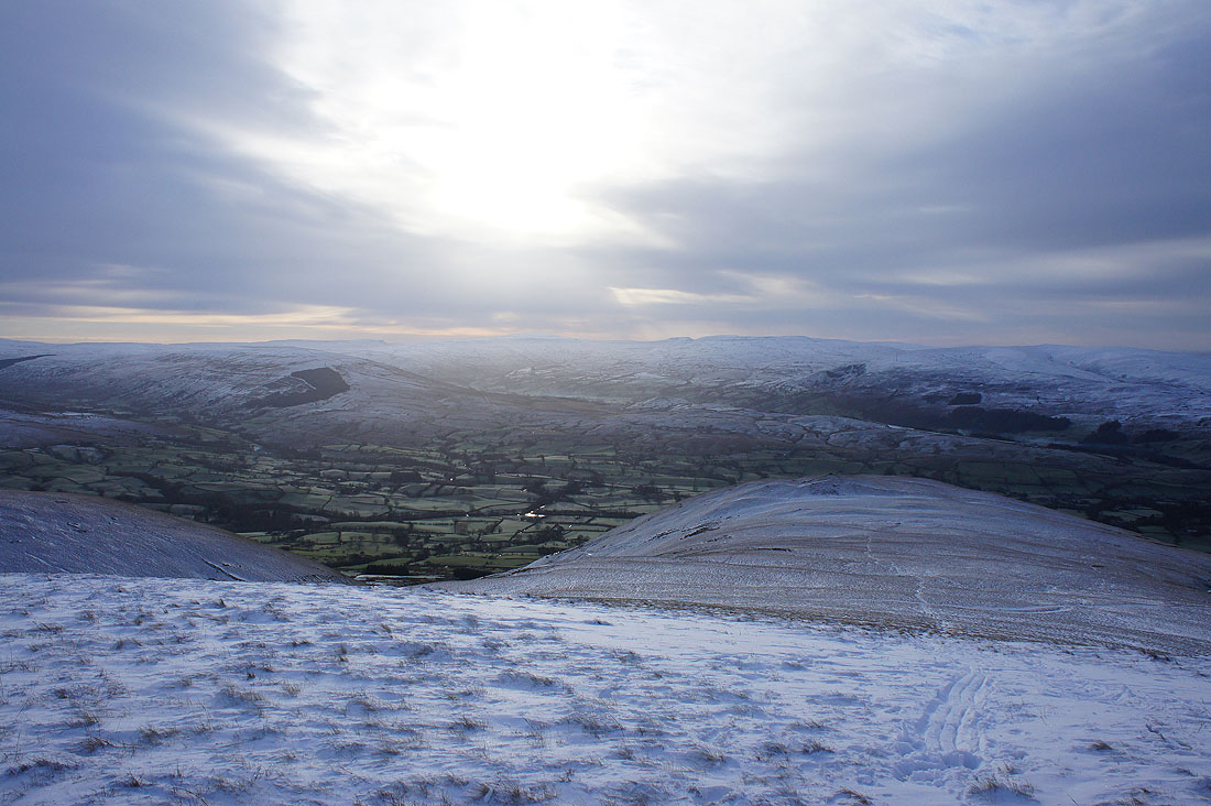
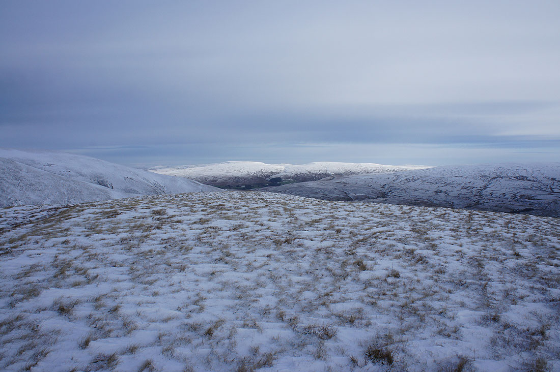
Arant Haw below
It was seeing the sun catch the top of Cross Fell in the distance that made me take this shot
Passing the sheepfold again
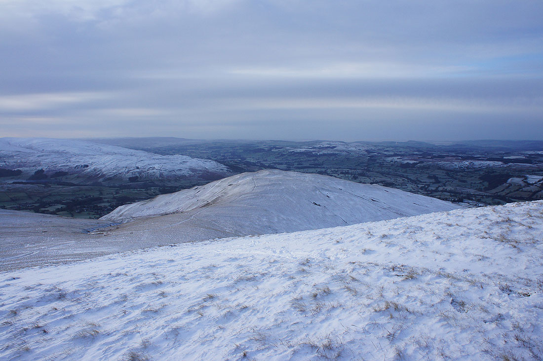
Sunshine on Wild Boar Fell as I arrive back on Arant Haw
Dramatic scenery with sunlit snow and darkening skies..
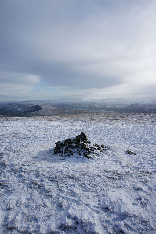
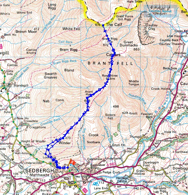
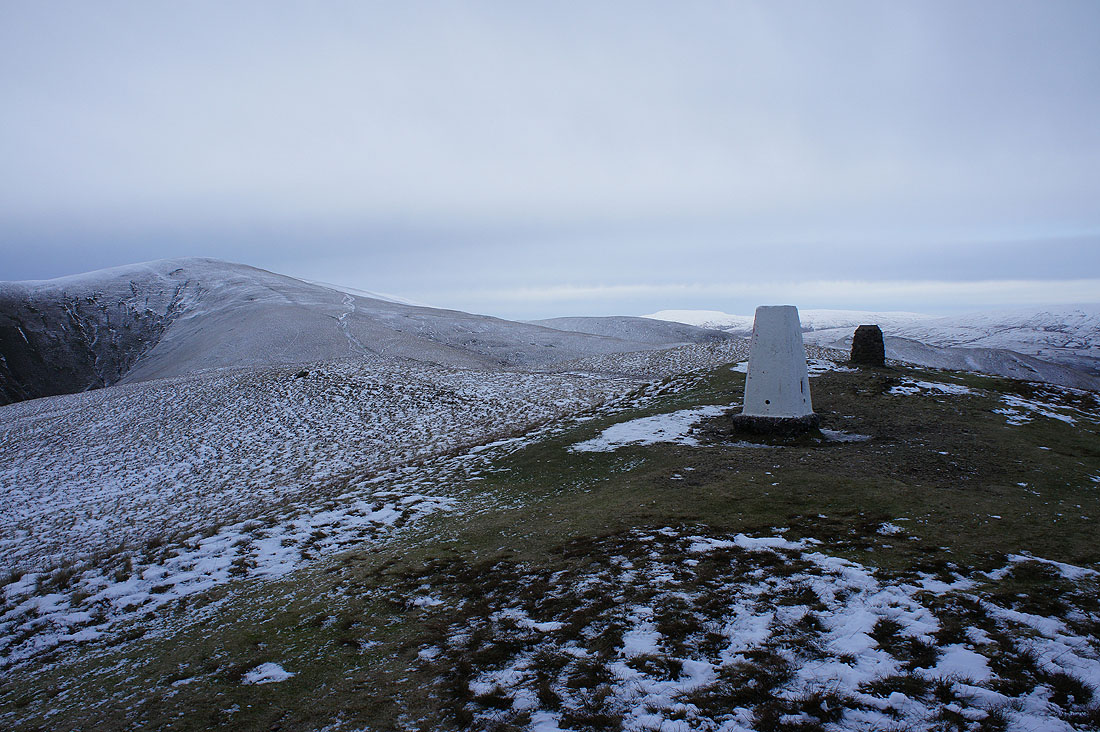
A modest cairn marks the top of Arant Haw
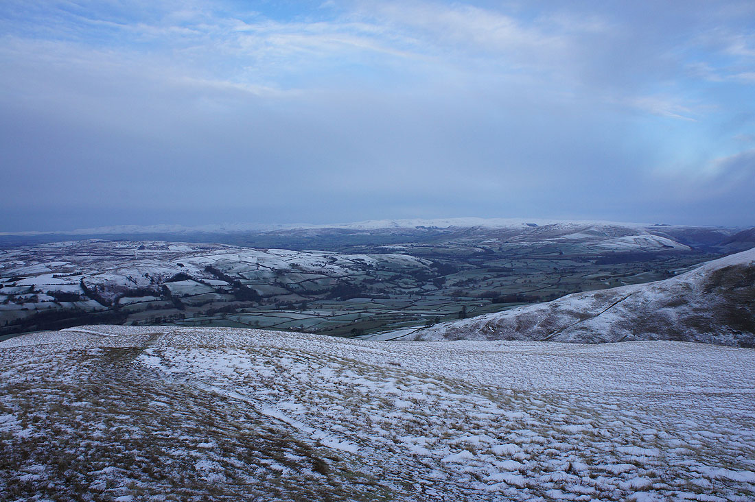
The Lakeland fells are gradually disappearing in the murk
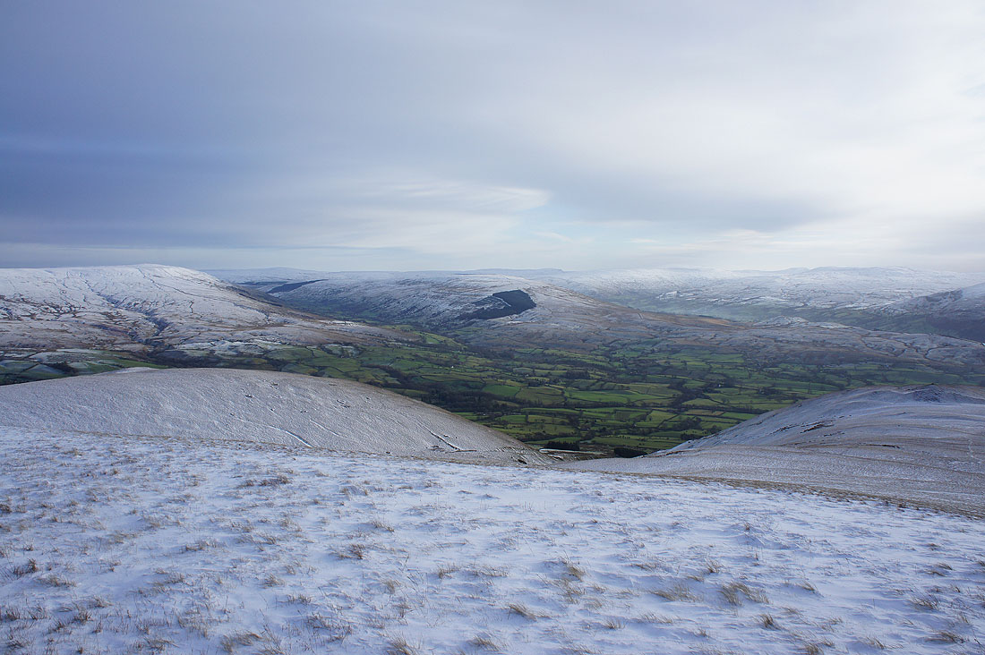
Baugh Fell, Great Knoutberry Hill, Penyghent, Whernside and Ingleborough
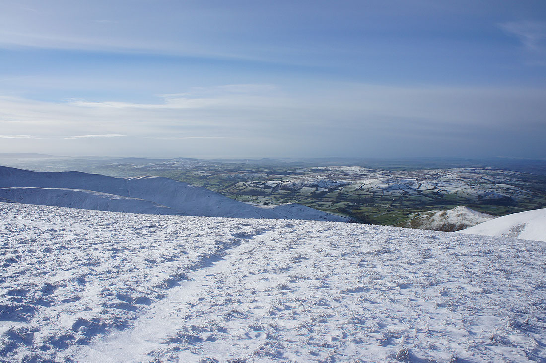
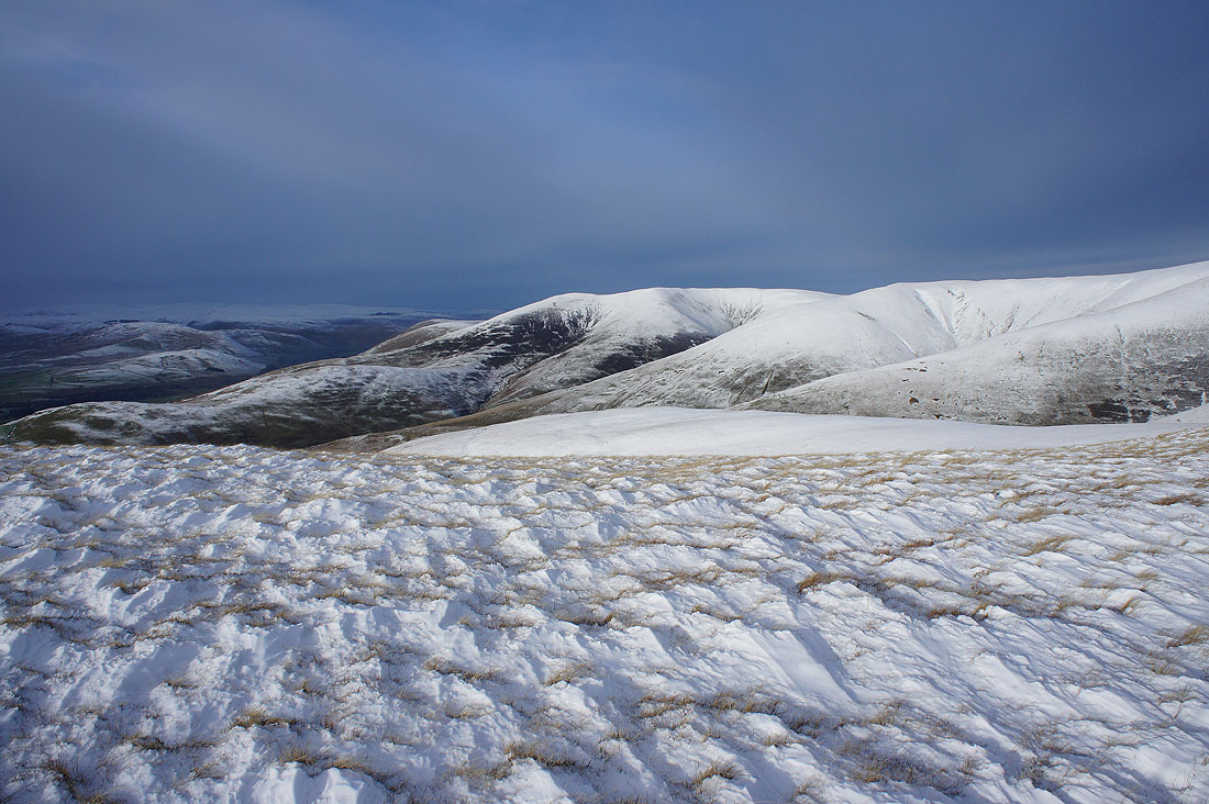
Middleton Fell with Crook and Winder below
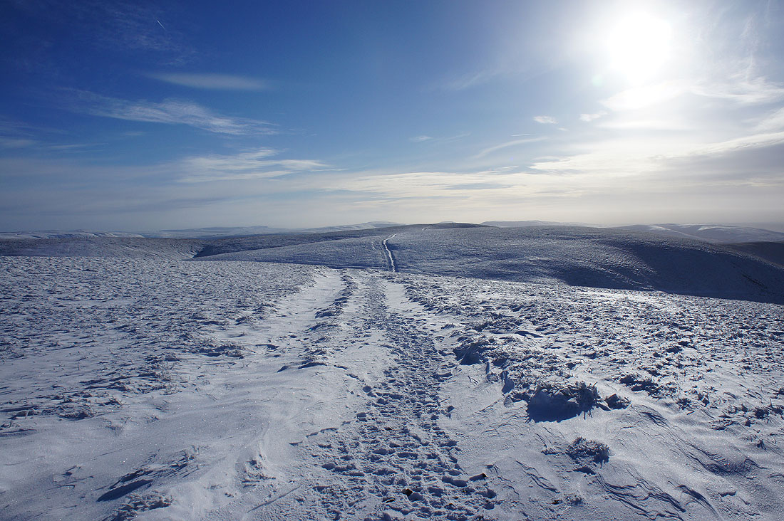
Heading for Winder and the sun finally disappears behind the thickening cloud
On Winder again
Can't see much of the Lakes now
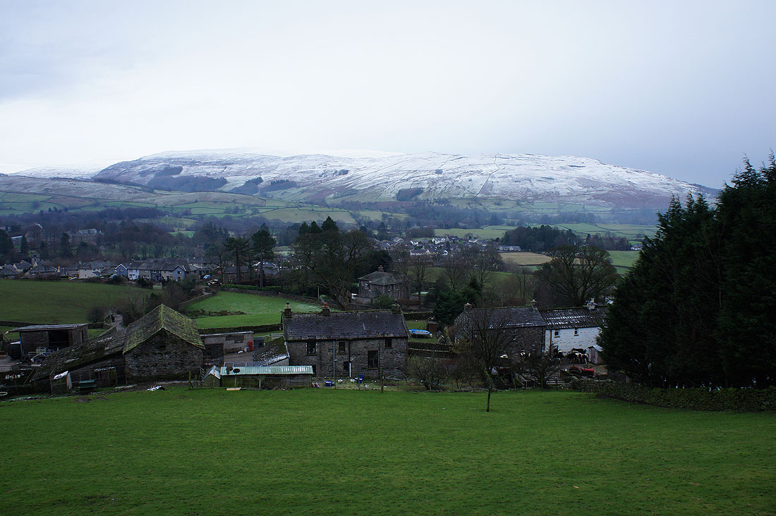
Lockbank Farm and Sedbergh beckon. It started to snow on the drive home.